



By clicking "ACCEPT", you agree to be the terms and conditions of each policy linked to above. You also agree to the storing of cookies on your device to facilitate the operation and functionality of our site, enhance and customize your user experience, and to analyze how our site is used.
Nevada Off-Road Trails
93
Total Trail Guides 87

987
Detailed Waypoints 129
Try a Free 7-Day Trial and unlock it all
Start a Free Trial Most Recent Trail Reviews
Rated 3/5
Open
Visited: 09/15/2026
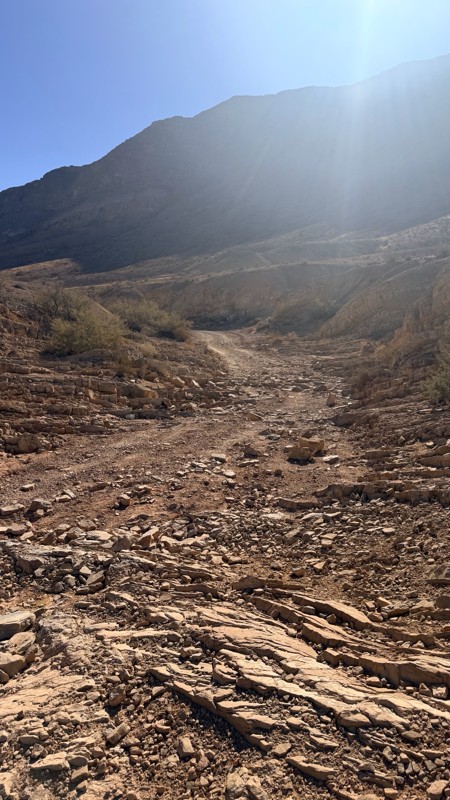
Unfortunately Kodachrome Road appears to have been recently graded. The fins have more or less been obliterated, leaving mostly a crush box. The deeper rutted section of the wash on the Vegas site has...

H
HotRatShit
Rated 1/5
Open
Visited: 09/12/2026
The rock fins are no longer there.. I’m not sure if they were washed out or were removed by someone. If the landmark wasn’t marked on the map I’d never actually know there were rock fins. I ran the wh...
Mario
Rated 5/5
Open
Visited: 09/11/2026
awesome place to camp and for a day trip . the trail is smooth. but gets busy on the weekends.

Dex Offroad
Rated 5/5
Open
Visited: 09/06/2026
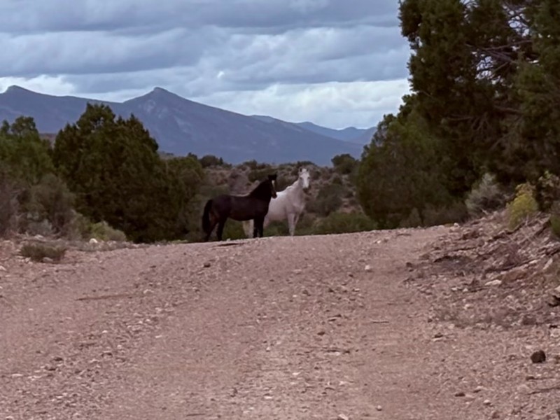
Very quiet scenic drive with lots of off shoot trails to forested areas for dispersed camping. Many other trails in the area to connect with including the Silver State Trail.
KB
Kevin Bigley
Rated 4/5
Open
Visited: 09/06/2026
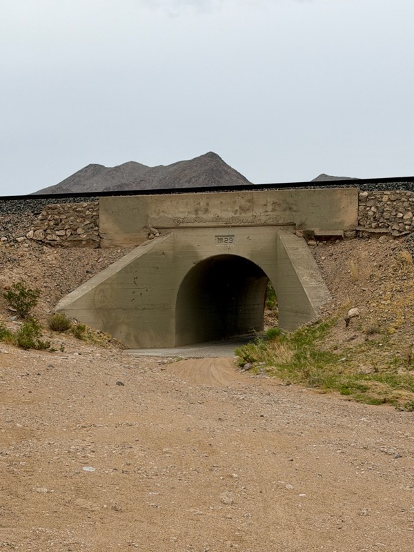
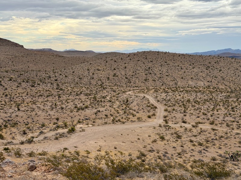
Railroad Canyon is a short rock crawling trail that is super close to Las Vegas. Easy trail acceess is made off the south end of Las Vegas Blvd. Begin by heading under the interstate overpass and th...

Bill
Rated 5/5
Open
Visited: 09/04/2026
Just as described. Ran it West to East. Camped at the campground. Stars were amazing. Saw no one entire time.
KB
Kevin Bigley
Rated 2/5
Open
Visited: 08/27/2026
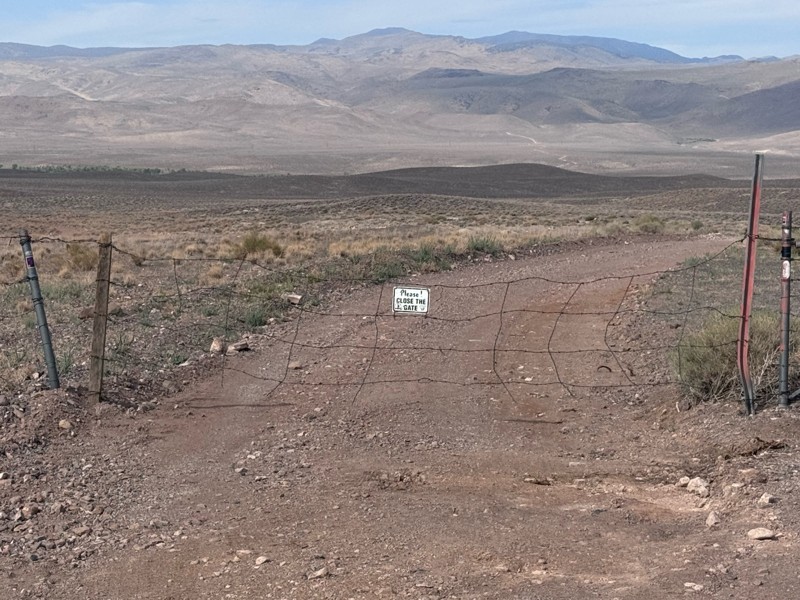
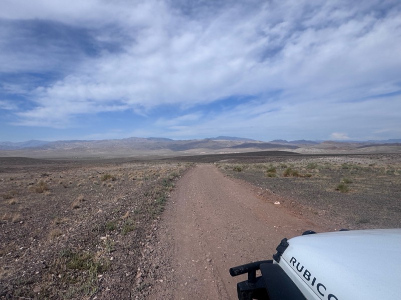
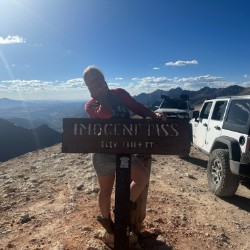
For the most part, this road is not graded. There were some sandy spots and water obstacles ( some avoidable and others not).
The last 1/3 of the trail that ends at Wild Horse Trail was pretty rough ...
Kim Soucek
Official Crew
No Rating
Open
Visited: 08/27/2026
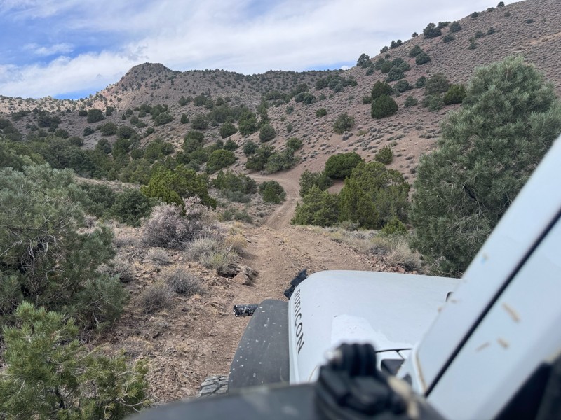
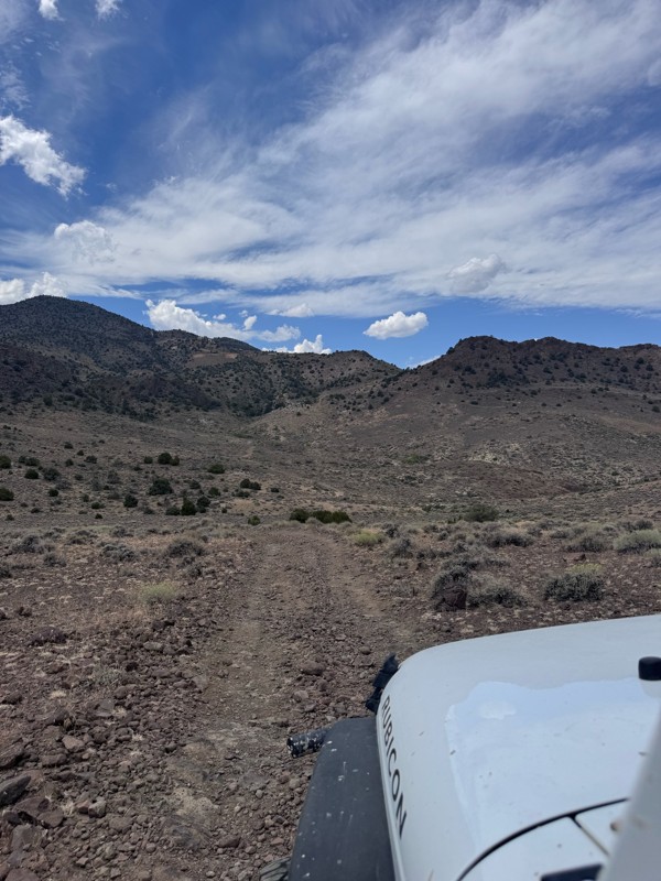
This trail is so fun! Twisty turns and steep drops and climbs- with beautiful rugged back country scenery the whole way.
On the Dayton side descent, I was rewarded with majestic views of the mountai...
Kim Soucek
Official Crew
No Rating
Open
Visited: 08/20/2026
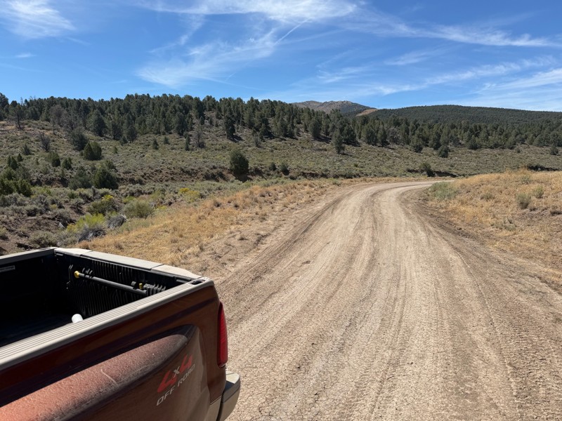
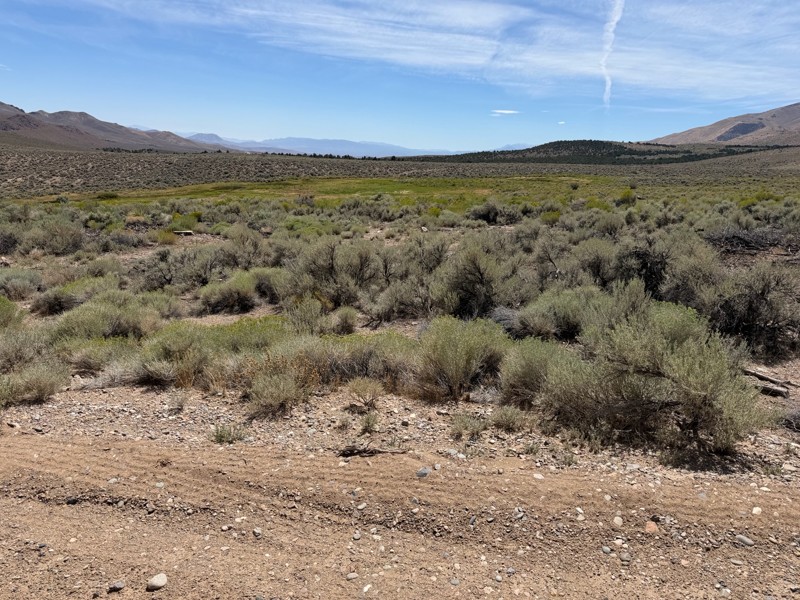
I’m new to this and don’t know what folks consider graded but to me this is not a graded road. Maybe it’s my truck but this route today was about 1/4 smooth and the rest was moderately very bumpy. Lot...
DD
Darius Davenport
No Rating
Open
Visited: 08/19/2026
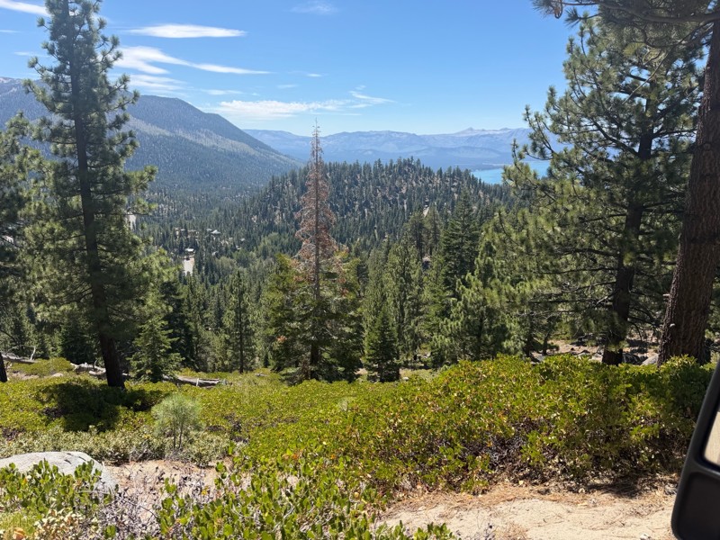
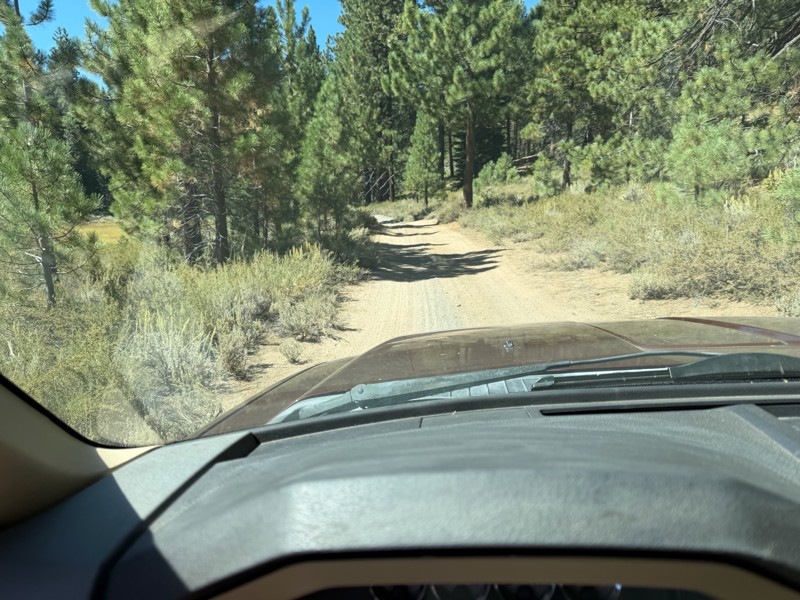
I rode Genoa Peak road from SR 50 to Logan Loop which brings you back to Genoa Peak and then south until Kings Berry Grade. I’m a very experienced driver but new to off roading. I actually wouldn’t ca...
DD
Darius Davenport
No Rating
Open
Visited: 08/11/2026
Per the MVUM, the trail is seasonally open. As always, check current fire restrictions/closures before venturing out.

Trails Offroad
Official Crew
Rated 3/5
Open
Visited: 08/10/2026
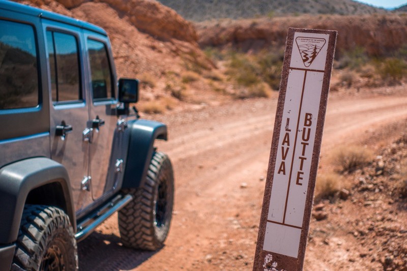
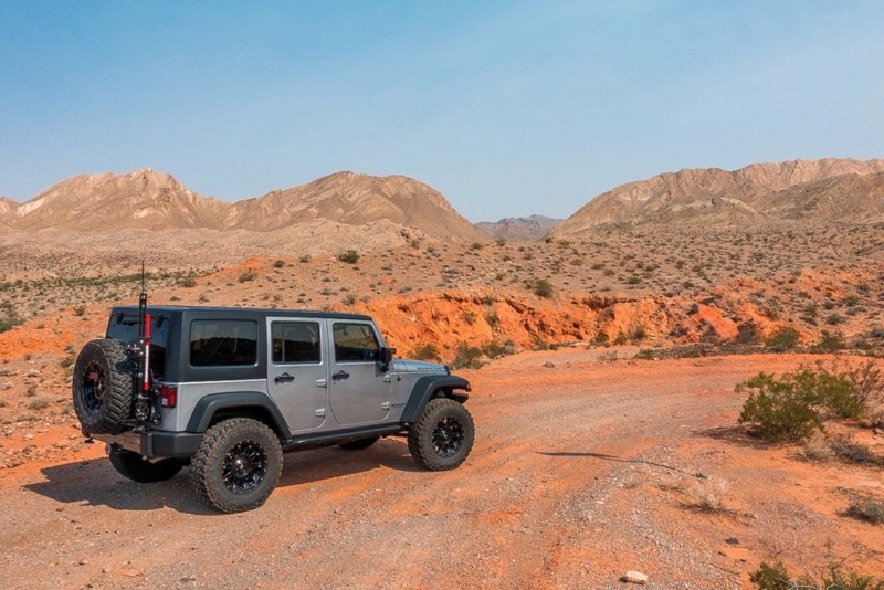
This is a quick and easy trail that is close to town. The trail is well groomed and accessible for beginners or stock rigs. Open desert landscape with volcanic rock all around here. Take the trail...
Bill
Rated 4/5
Open
Visited: 07/29/2026
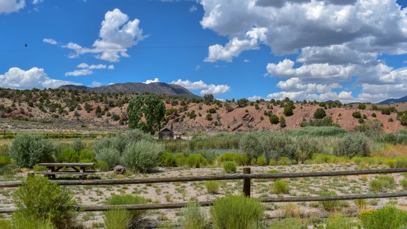
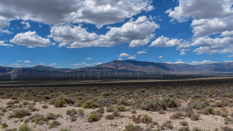
Something has always drawn me to this area. I’ve been coming out here for nearly 15 years prospecting and mining. The pond at Sacramento Pass is stocked, and I’ve had a decent dinner from what I caugh...

Cory Wooldridge
Official Crew
Rated 4/5
Open
Visited: 07/29/2026
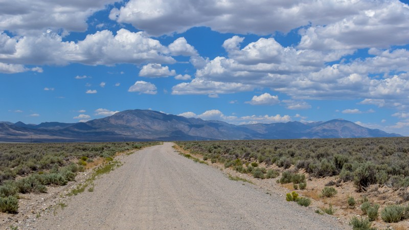
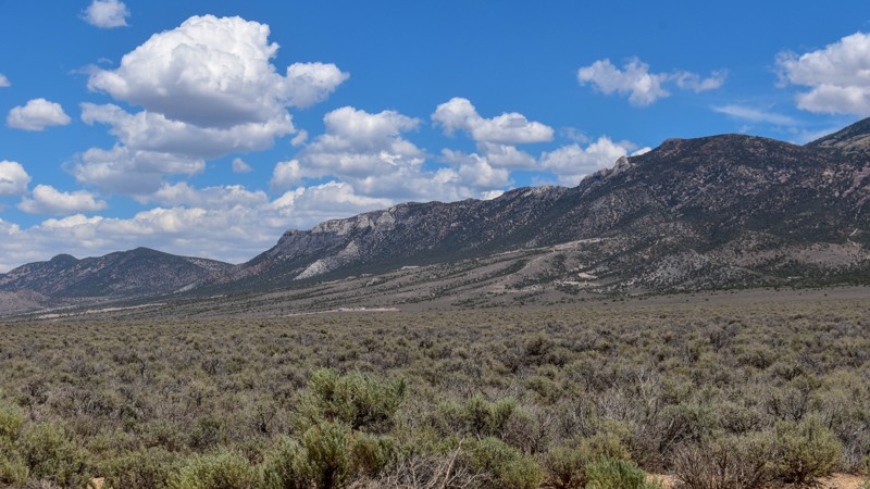
This trail gets 4 stars, not for the trail itself but for the access it provides. We have camped up Willard Creek Rd many times over the years. The lower site along the creek currently doesn’t have mu...
Cory Wooldridge
Official Crew
Rated 3/5
Open
Visited: 07/29/2026
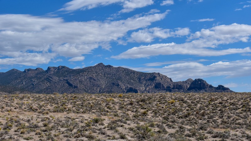
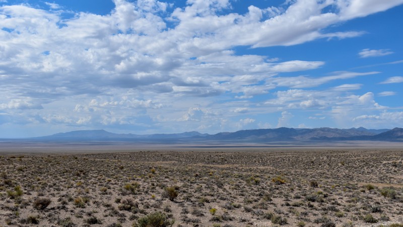
We love exploring old mines and ghost towns, even if only from the road. The west side of the Snake Range is rich in mining history, with silver and tungsten at the extremities and gold at the heart i...
Cory Wooldridge
Official Crew
Rated 3/5
Open
Visited: 07/29/2026
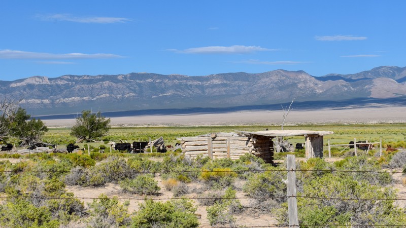
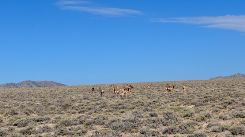
The old cabin and well way out in the middle of the valley were a neat surprise. There was a herd of antelope that was happy to stare back at us as we stopped to take pictures. The high-water line and...
Cory Wooldridge
Official Crew
Rated 3/5
Open
Visited: 07/28/2026
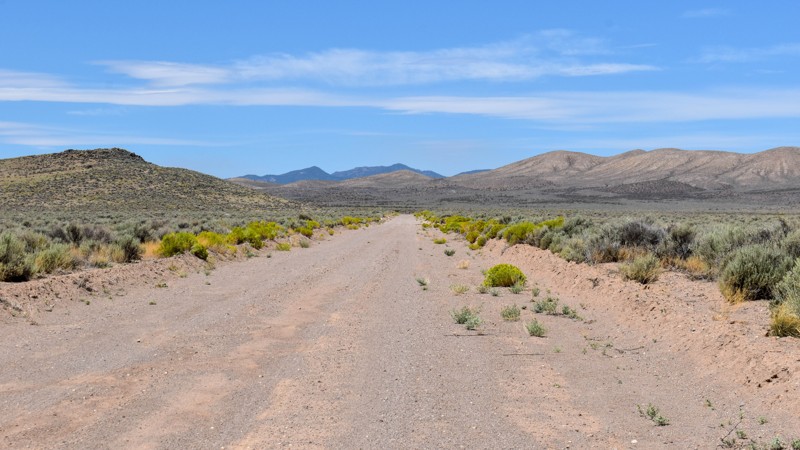
I love how smooth some of these roads are, the lack of trash, ruts, potholes, etc, make so many of these roads out here that much more enjoyable. Not much to see along this trail, but the distant view...
Cory Wooldridge
Official Crew
Rated 4/5
Open
Visited: 07/27/2026
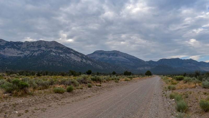
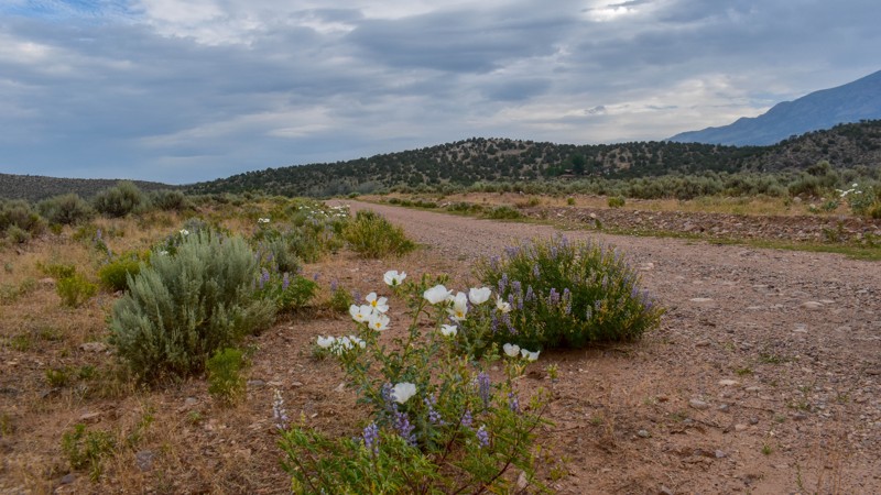
This is a gem of a dirt road. The entire network of trails south of Ely has been a fun week to explore, and North Cave Valley Road delivered an easy stretch of dirt that carried us for miles through o...
Cory Wooldridge
Official Crew
Rated 4/5
Open
Visited: 07/27/2026
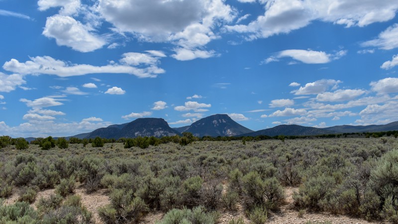
I love the way the clouds cast shadows, dotting the valley flow and framing the mountain ranges in different perspectives as time passes. The jagged mountains were neat, the horses were active as we m...
Cory Wooldridge
Official Crew
Rated 3/5
Open
Visited: 07/27/2026
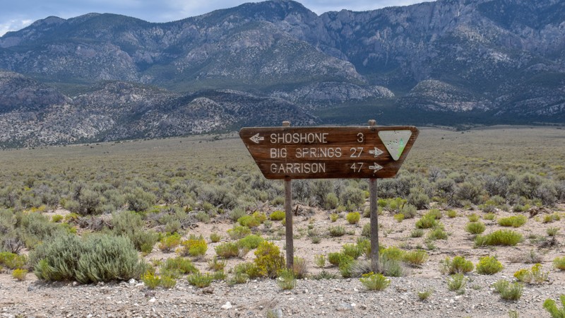
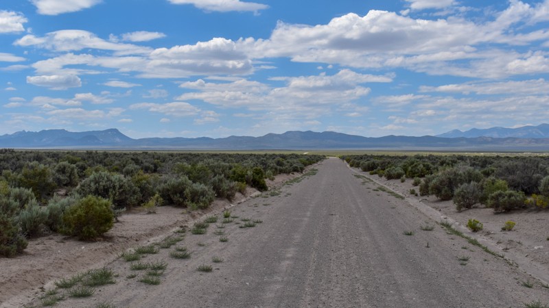
Its a beautiful, open trail with picture perfect tall sagebrush and the east and west ends, with small sage in the low lying valley named Baking Powder Flat. There were some quarry work areas which ma...
Cory Wooldridge
Official Crew
No Rating
Open
Visited: 07/26/2026
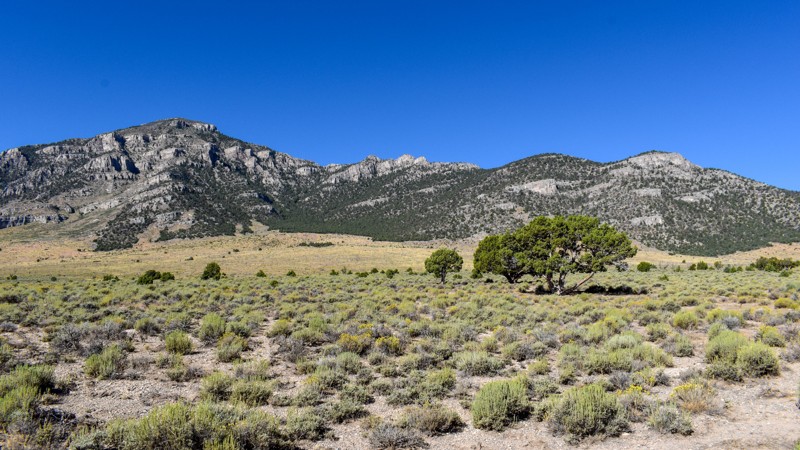
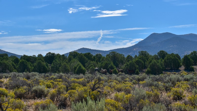
This trail is between a 4 and 5 star for me. I love the changing scenery and juniper tress. Seemingly endless valleys with mountains bordering the trail, groups of wild horses, easy dirt road. One win...
Cory Wooldridge
Official Crew
Rated 4/5
Open
Visited: 07/26/2026
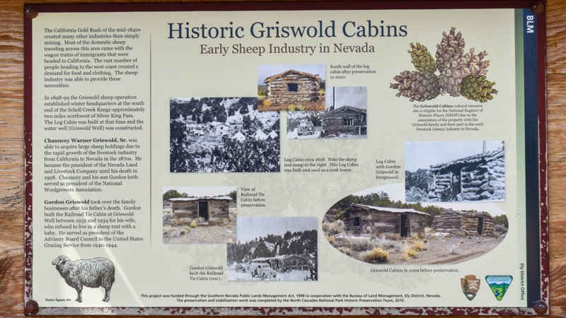
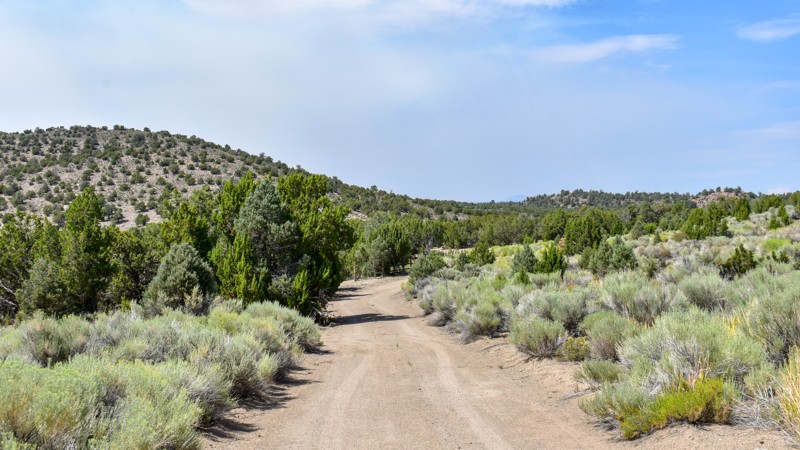
The history along this trail was a pleasant surprise. The scenery was nice, a couple of old small ruins barely visible through the sage to the west of the road, and a larger stacked wall to the west n...
Cory Wooldridge
Official Crew
Rated 3/5
Open
Visited: 07/26/2026
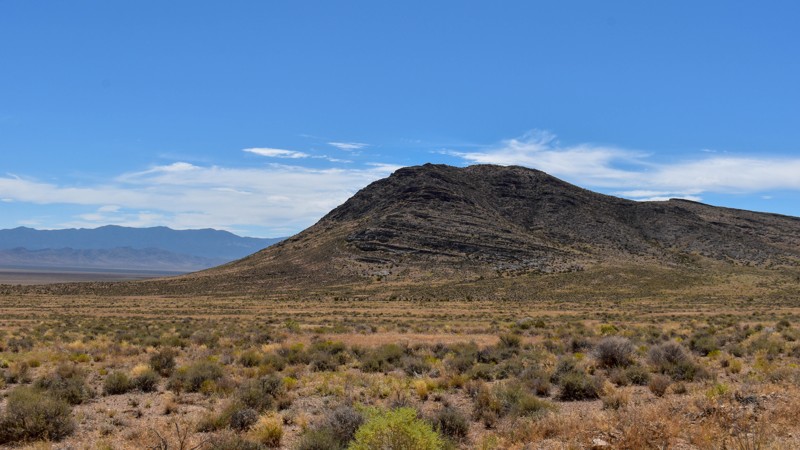
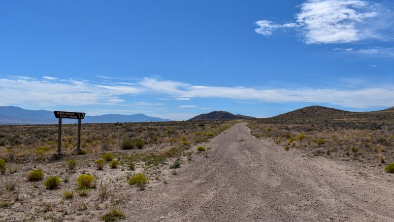
Another connector trail with gorgeous views and Coyote Spring or Stonewall Spring depending on your map at the south end. It's nice and green at the spring, but fenced and private property. Not much t...
Cory Wooldridge
Official Crew
Rated 3/5
Open
Visited: 07/26/2026
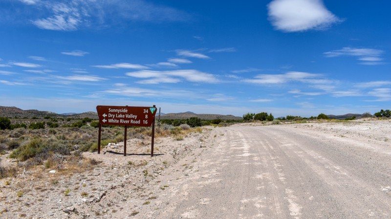
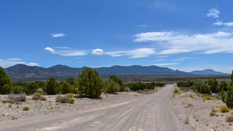
We camped in Spring Valley between Pioche and Ely for a week and went to the hot springs a couple of times taking different paths each time, this was by far the quickest and easiest way across. The vi...
Cory Wooldridge
Official Crew
Rated 3/5
Open
Visited: 07/26/2026
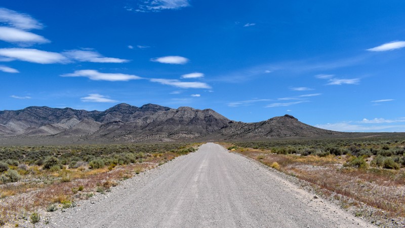
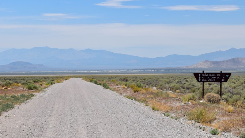
We've passed by this road when coming up from the south to go to Hot Creek and used the main entrance further north several times not knowing this was here. Coming up from the south this cuts off a li...
Cory Wooldridge
Official Crew
Rated 3/5
Open
Visited: 07/24/2026
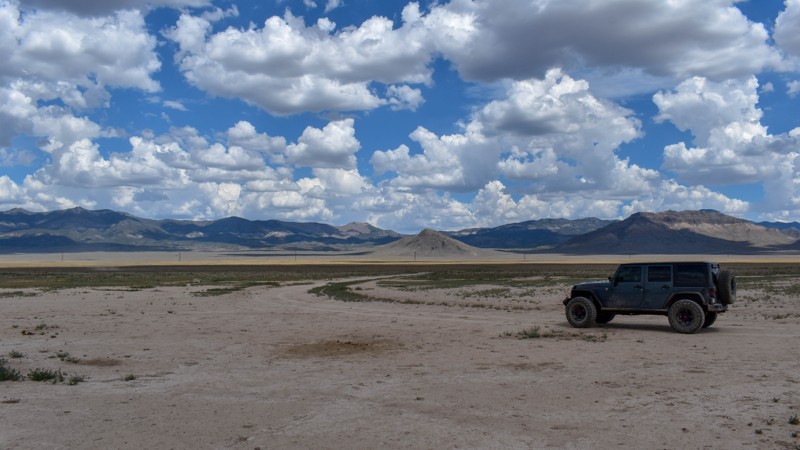
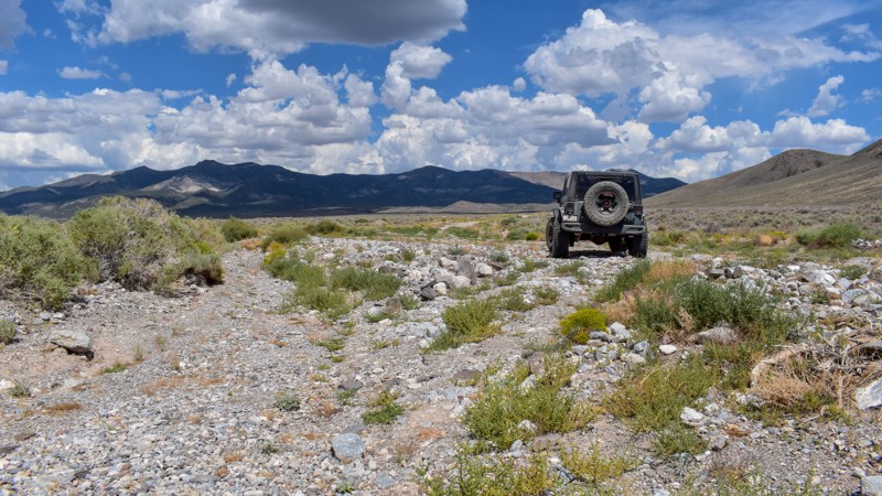
The maps imply this was once a decent road, either end of it still are, but the middle is not. There are sections where any trace of the road has been washed away into rocky gravel stream beds, with p...
Cory Wooldridge
Official Crew
Rated 5/5
Open
Visited: 07/24/2026
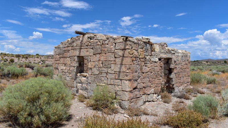
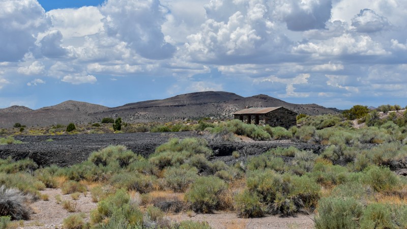
The maps of this area are very confusing and contradictory. Researching this trail, the trail name should have reached the old ghost town site, which at the time of mapping I thought was only a local ...
Cory Wooldridge
Official Crew
Rated 2/5
Open
Visited: 07/24/2026
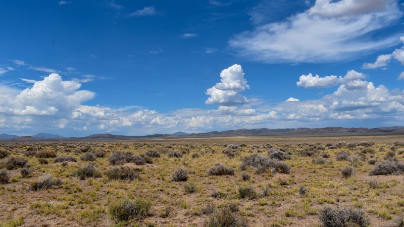
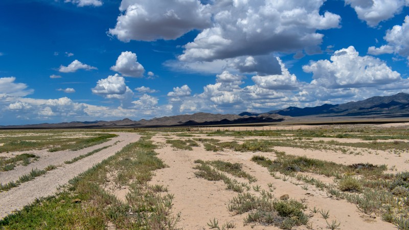
Forget the photos in the first review, pics here, notes there.
Cory Wooldridge
Official Crew
Rated 2/5
Open
Visited: 07/24/2026
This trail does offer expansive views, although not as exciting as others. There was a herd of antelope at Bullfrog Reservoir, which to us desert dwellers is called a tank, an earth berm with what I a...
Cory Wooldridge
Official Crew
Rated 3/5
Open
Visited: 07/24/2026
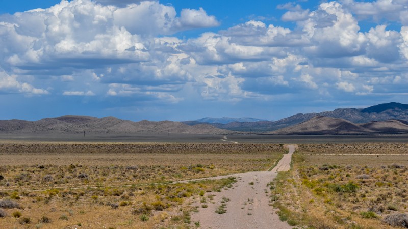
We got spoiled with the more northern mountainous trails, this one is a good connector during the dry months to get somewhere else in Cave Valley. The charcoal ovens though, are absolutely worth the t...
Cory Wooldridge
Official Crew
Rated 3/5
Open
Visited: 07/24/2026
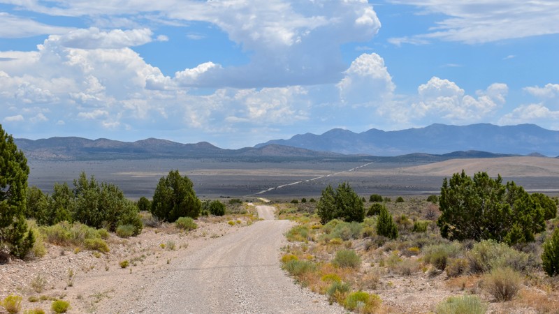
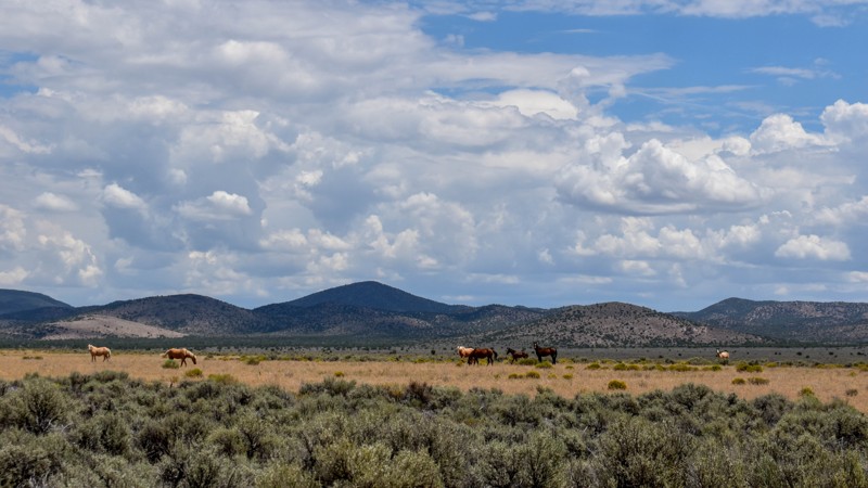
The wild horses and the old smelter slag, cabins, and charcoal ovens in the distance were the trail highlights for us. I prefer the trails further north for the scenery and vegetation, but the wild ho...
Cory Wooldridge
Official Crew
Rated 4/5
Open
Visited: 07/24/2026
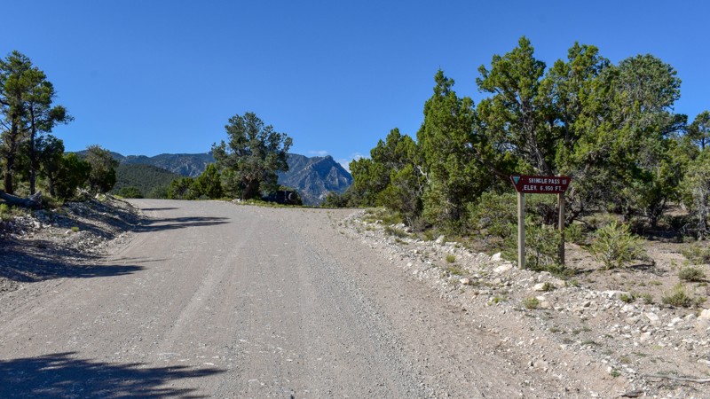
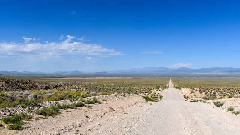
We took Patterson Pass Rd to Shingle Shortcut and onto Shingle pass to get to the Hot Spring Creek across the 318 near Dave Deacon campground. The ride was easy going, enjoyable and pretty. Several bl...
Cory Wooldridge
Official Crew
Rated 3/5
Open
Visited: 07/24/2026
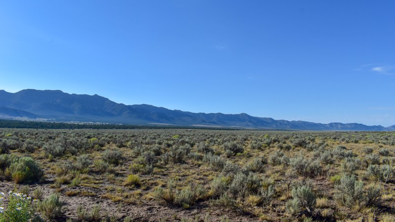
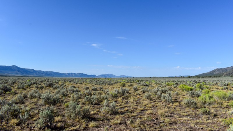
Compared to the surrounding trails, I gave this a 3 star rating. It is still a pretty trail. I do not like mud, and the low lying areas are that type of slick silty mud that could easily cause issues....
Cory Wooldridge
Official Crew
Rated 5/5
Open
Visited: 07/23/2026
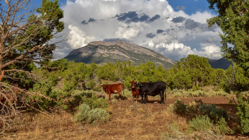
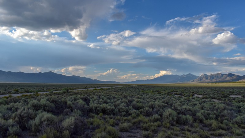
This trail was gorgeous. I like the scenery and the feel of the higher country trails in the northern area of Cave Valley more so than the southern. All in all, I haven't found any flat out boring roa...
Cory Wooldridge
Official Crew
Rated 4/5
Open
Visited: 07/23/2026
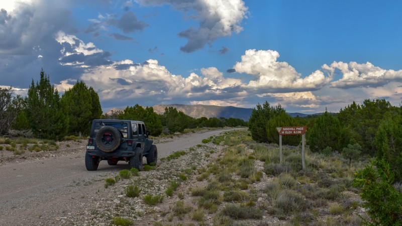
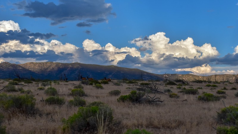
This trail had the most wildlife of any of the trails on this trip. We saw multiple elk, deer, and pronghorn antelope. Overall, this is a very pretty drive, and the easiest access from the east into C...
Cory Wooldridge
Official Crew
Rated 5/5
Open
Visited: 07/23/2026
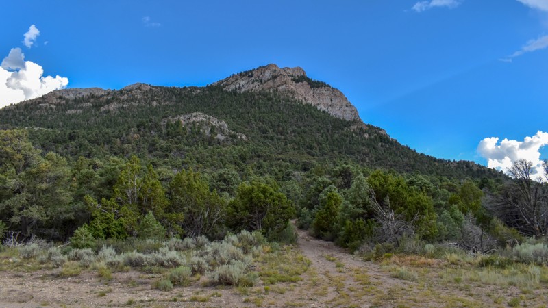
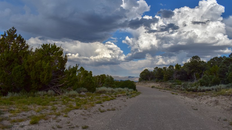
We've camped at Patterson Pass several times, but this was the first time exploring into Cave Valley. This area is gorgeous, the roads were just my style, and the weather was great. The evening monsoo...
Cory Wooldridge
Official Crew
Rated 4/5
Open
Visited: 07/12/2026
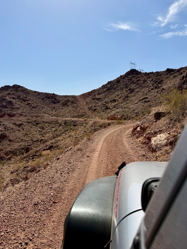
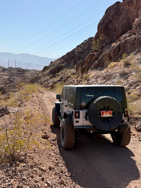
This is a short but exciting trail. You begin by climbing a series of rocky switchbacks that serve as access to the powerlines that tower above you. Don’t get distracted by the scenic views of Lake ...
Bill
Rated 5/5
Open
Visited: 07/06/2026
Really Rocky Road - Lift Kit recommended
EC
Edgar Carrillo
No Rating
Open
Visited: 06/29/2026
Joined this at Waypoint 12 of Potosi Pass Road. This isn’t a trail; it’s a four lane wide, mostly gravel, well graded, racetrack. Watch out for locals running at high speeds. It’s worth taking it t...
KN
Karen Nowak
No Rating
Open
Visited: 06/28/2026
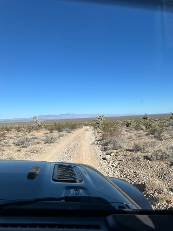
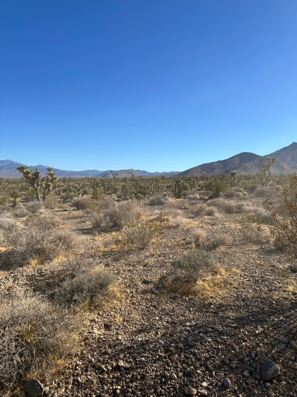
Have done this route before and the problem with Google sending you off course to get to the trailhead off Highway 160 has been solved. It now finds the Potosi historical marker and its attendant le...
KN
Karen Nowak
Rated 5/5
Open
Visited: 06/21/2026
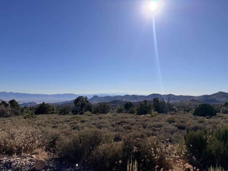
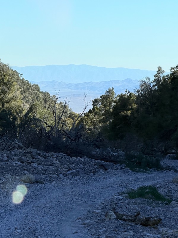
pretty easy trail with really awesome camping opportunities!
AK
Abby Kersey-Mendez
Rated 5/5
Open
Visited: 05/31/2026
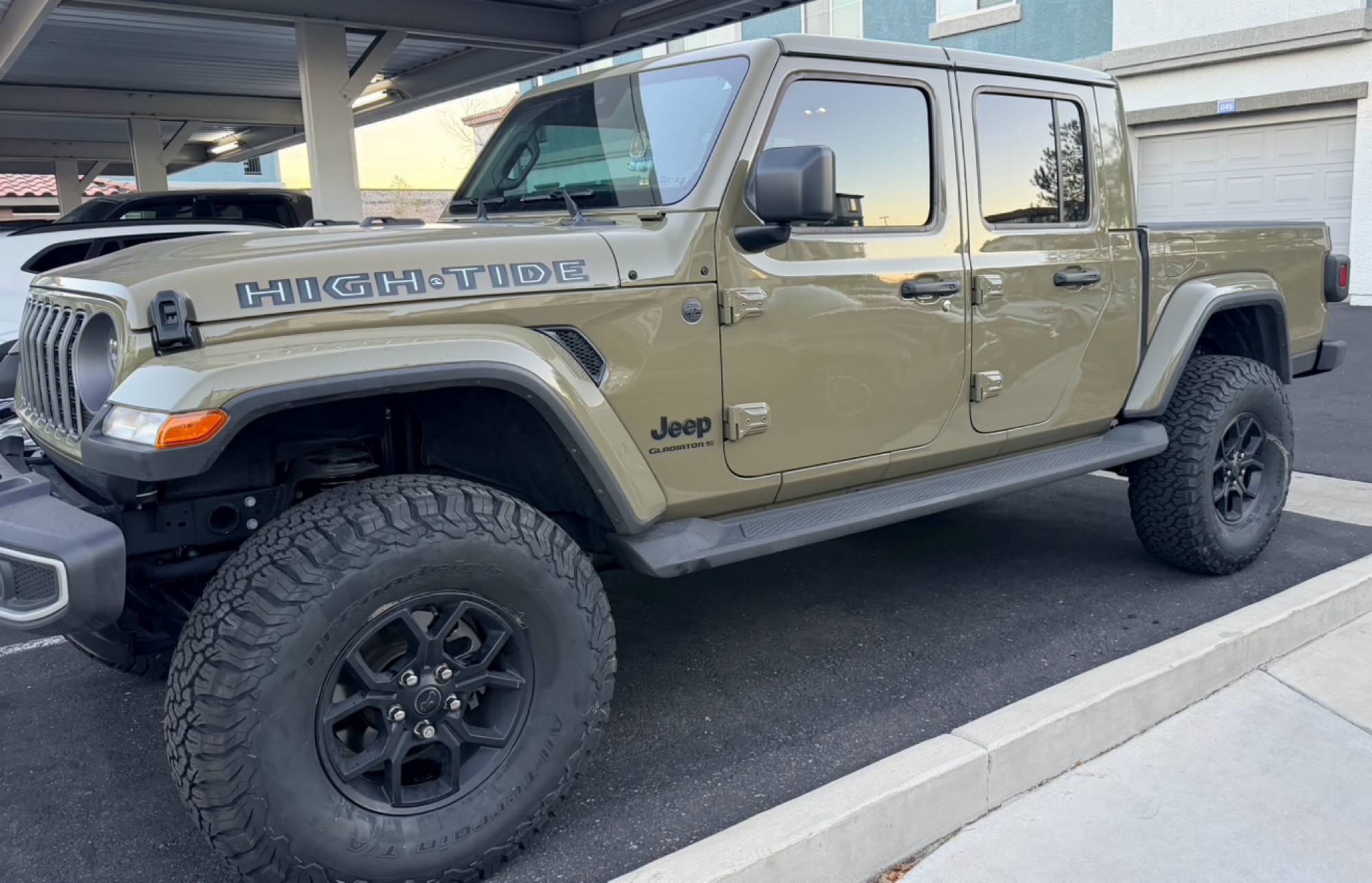
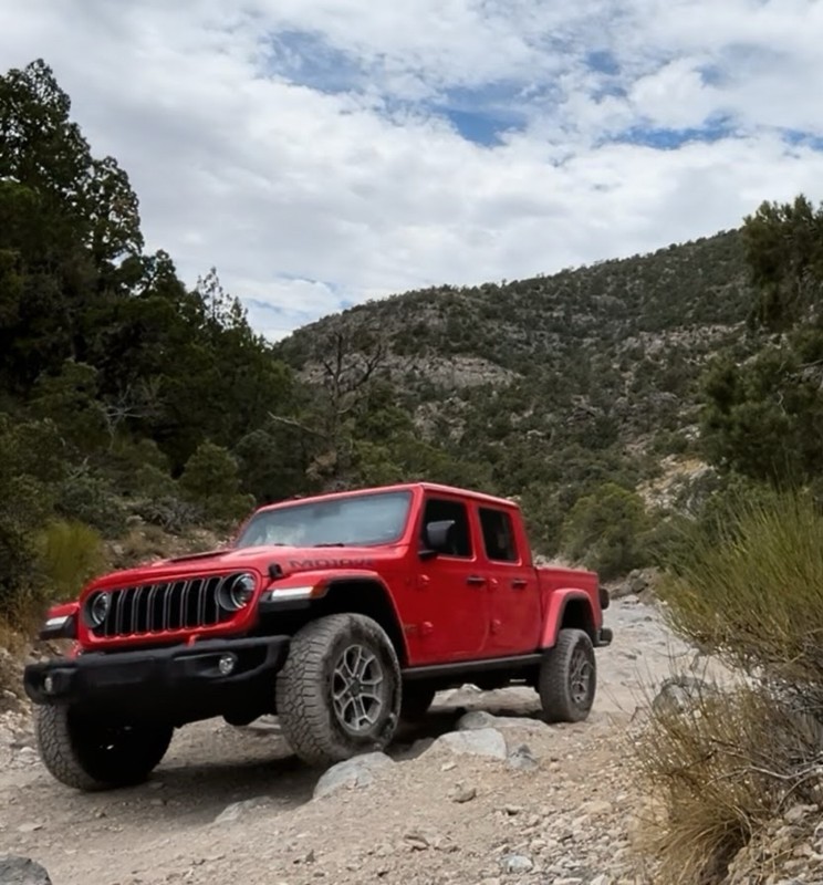
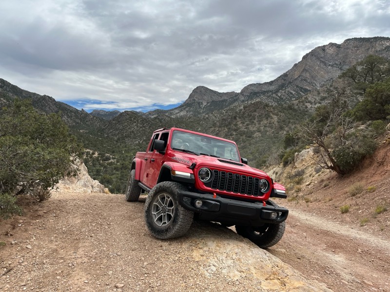
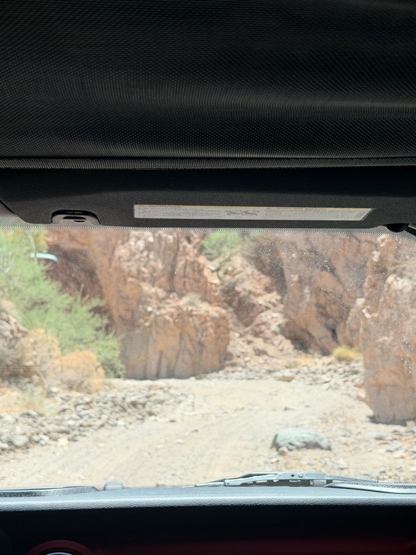
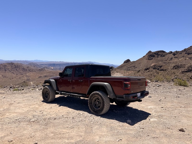
harder than we expected. drove a jeep gladiator for the first time. we got through it but the end was a bit dicey.
AK
Abby Kersey-Mendez
Open
Visited: 05/25/2026
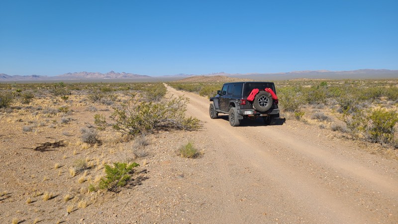
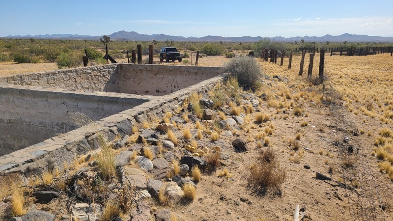
When hiking, watch out for the Cholla cactus and its spines. These are no joke. The microscopic thorns fishhook-like barbs that are very difficult to remove and even stick to your hands when trying ...

Robert
Official Crew
Rated 5/5
Open
Visited: 05/24/2026
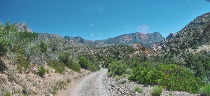
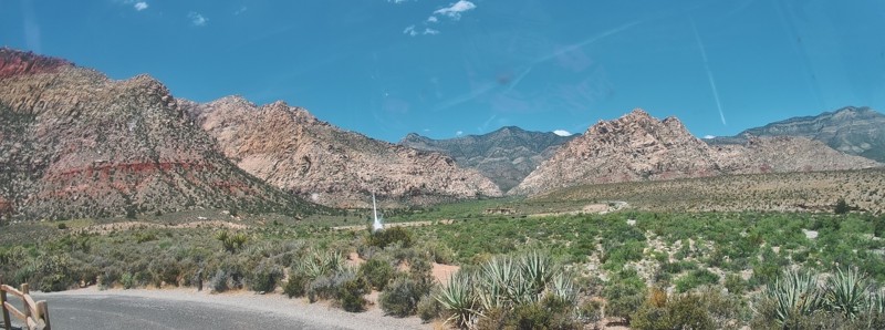
Completed this trail in my Gladiator Rubicon with a 2" lift and 35" tires. It was a pretty easy trail and found the rock Garden a nice challenge and had no problems getting through it. The trail was v...

PBenn
Rated 5/5
Open
Visited: 05/23/2026
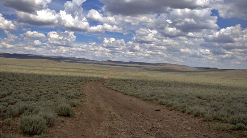
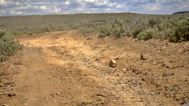
We used High Rock Canyon Road to reach the northern entrance of the High Rock Canyon Trail, and it was a great way to kick off the adventure. While the road isn't particularly difficult, the sweeping ...

Rose Meirs
Official Crew
Rated 5/5
Open
Visited: 05/23/2026
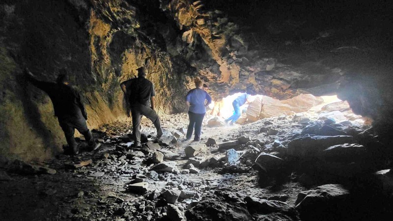
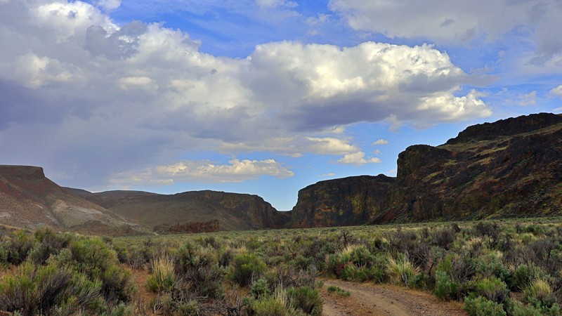
We tackled this trail with a group of six Jeeps and a Colorado ZR2 Bison, and while the route is not particularly difficult, it delivers plenty of adventure along the way. Expect narrow sections where...
Rose Meirs
Official Crew
No Rating
Open
Visited: 05/22/2026
Ran this trail from west to east. The turn off from Sandy Valley Road is easy to miss. The whole area is rich in mining history so it’s interesting to explore.
KT
Ken Turzinski
Rated 5/5
Open
Visited: 05/18/2026
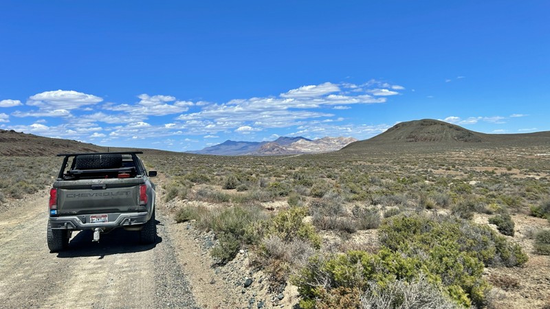
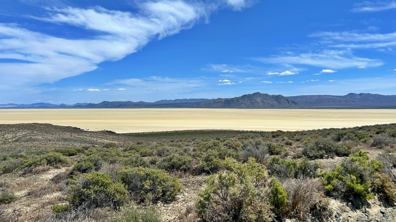
Our group used Soldier Meadows Road as the gateway to our basecamp and as the main route for exploring the incredible Black Rock Desert and High Rock Canyon region. Be prepared for plenty of washboard...
Rose Meirs
Official Crew
Rated 5/5
Open
Visited: 05/18/2026
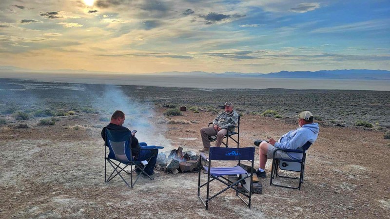
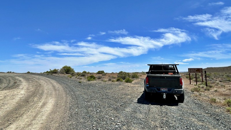
I chose this trail as our base camp and staging area for a Memorial Day weekend adventure exploring the Black Rock Desert and High Rock Canyon. It turned out to be the perfect spot for our group, acco...
Rose Meirs
Official Crew
Rated 5/5
Open
Visited: 05/18/2026
Glad to see this trail open again! Ran in about 3 hours and thoroughly enjoyed it.
Trail will be closed again September 2026 for further repair, so get out there while it's open!

Danny Britton
Most Popular

Updated: 10/15/2024
Wieber Wash West
Moapa Valley, Nevada
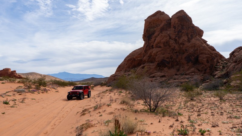
Wieber Wash West is a fun, sandy trail serving as an alternate way around a group of rocks along Logandale Main Loop. Although not a destination trail, it is a good addition to an itinerary where you can pick up speed and bank around the curves. 4WD will likely be necessary due to the soft and deep sand. One small campsite sits on the western end in the northern shadow of the rocks.
Updated: 10/15/2024
Access Loop Cutoff
Amber, Nevada
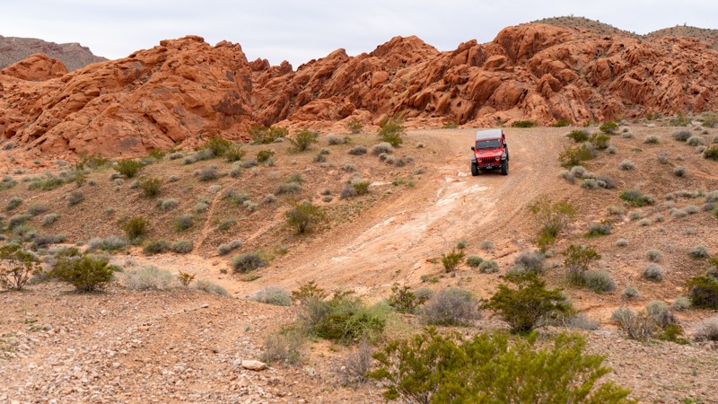
Access Loop Cutoff acts as a quick and easy exit from the rockier trails or the easier way out if you jogged down the Access Loop and don't want to tackle the small rock obstacles near its eastern end. There is one small rocky patch, but this trail poses no problems for high clearance vehicles. Camping is not an option directly on this trail, but the nearby Logandale Main Loop has plenty of options.
Updated: 10/15/2024
Bunkerville Ridge Access #1
Bunkerville, Nevada
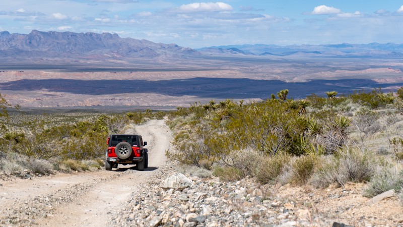
Bunkerville Ridge Access #1 is just one of the many trails leading from Riverside Road to Bunkerville Ridge. This trail, in particular, is a relatively easy but bumpy trail that crosses one of the washes coming from the ridge. Occasional storms may wash out these parts of the trail. But they are heavily used and quickly retreat to their easy status. Camping is available along nearby Bunkerville Ridge or Cabin Canyon.
Updated: 09/14/2026
Cave Valley Road
Lund, Nevada
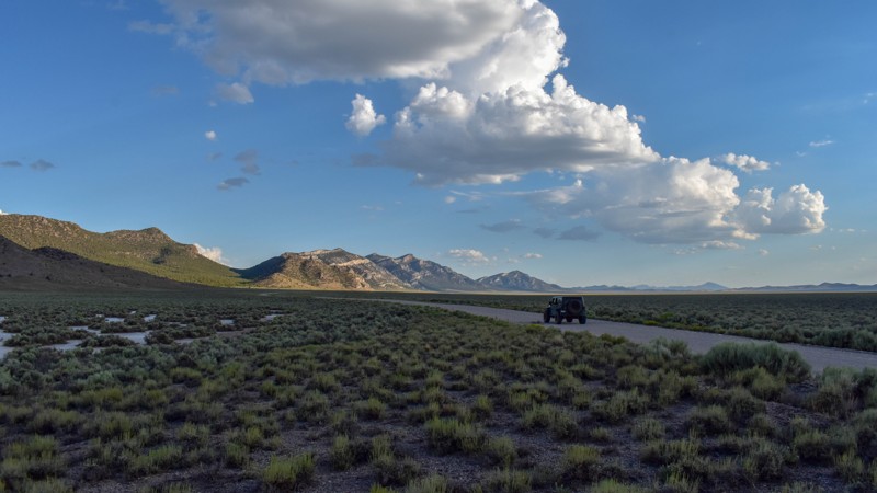
Cave Valley Road is a scenic high-desert dirt road in Lincoln County that runs north-south through the heart of Cave Valley. It connects North Cave Valley Road near Patterson Pass to Sidehill Road, offering gorgeous views in every direction across the expansive basin and surrounding mountain ranges. The route winds through classic Nevada high-desert terrain, with wide-open sagebrush flats and distant peaks, delivering a peaceful, visually rewarding drive.
The road is a dirt surface suitable for high-clearance vehicles. It connects to the Silver State OHV Trail network and provides excellent access for exploration throughout Cave Valley.
Cave Valley Road is a beautiful drive where dispersed camping is allowed, but the trail itself does not offer any obvious campsites. Camping options are available at the eastern end of Shingle Shortcut Road or along the southern half of Silver King Well Road.
Updated: 07/02/2026
Soldier Meadows
Gerlach, Nevada
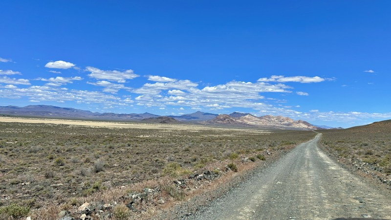
Soldier Meadows Road is the primary route into the remote northern Black Rock Desert, running parallel to the Black Rock Playa, crossing vast sagebrush flats, volcanic hills, and wide-open desert valleys. The road provides access to many of the region's most popular destinations, including High Rock Canyon, Soldier Meadows Hot Springs, and numerous dispersed campsites. Along the way, travelers are rewarded with expansive views, opportunities to spot wildlife, and a true sense of Great Basin solitude. While generally easy in dry conditions, washboards, potholes, and seasonal washouts will slow travel. More than just a road, Soldier Meadows Road serves as the gateway to some of Nevada's most scenic and historic backcountry adventures.
Updated: 08/11/2026
N Cave Valley Road
Lund, Nevada
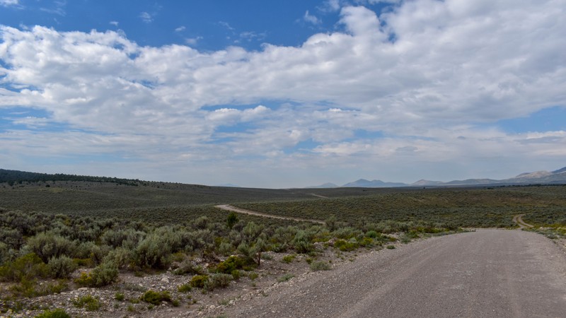
North Cave Valley Road (also known as Cave Valley Road) is a mostly single-lane, mildly rough-to-smooth dirt road that winds easily through open high-desert valleys of dense sagebrush and scattered rabbitbrush, with occasional patches of wildflowers and denser pinyon-juniper woodlands near the hills. The southernmost 5 miles cross private property, while the western side of the southern half borders the Mount Grafton Wilderness Area; the northern end reaches Ward Charcoal Ovens State Historical Park. The graded surface is firm-packed dirt and light gravel, with mild roughness, occasional tire ruts, and short stretches of exposed rock or soft spots, and remains suitable for all vehicles under normal dry conditions.
Camping is nonexistent along the trail. Opportunities exist along the easternmost mile of Shingle Shortcut Road, at Patterson Pass Campground near Highway 93 on Patterson Pass Road, and at Willow Creek Campground near Ward Charcoal Ovens State Historical Park at the northern end.
Updated: 08/28/2026
Big Spring Road
Burbank, Nevada
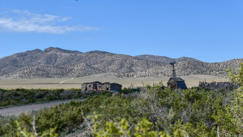
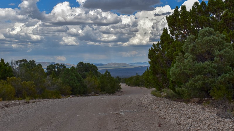
Big Springs Road, also known as Burbank Road, runs from Highway 21 in Utah to the old ghost town of Atlanta in Nevada. The Utah portion of the trail runs through ranches and private property, while the Nevada portion is wide-open BLM land. The road surface is mostly firm gravel, with mild washouts and rocky sections on the east side of Wells Summit that require a stock high-clearance SUV, giving the route a moderate overall difficulty; elsewhere, it remains relatively smooth under normal dry conditions. The route traverses open high-desert flats of sagebrush and low shrubs, with scattered juniper on the hillsides, long views of the surrounding mountains, and scattered remnants of old ranch buildings, including weathered log cabins and a windmill.
While dispersed camping is allowed along the Nevada portion of this trail, suitable or existing sites are nonexistent aside from the one at Wells Summit. That site is gently sloped and rocky, slightly off-level, and has a fire ring. Juniper stands west of Wells Summit offer minimal shade and some wind break. The remainder of the road is fully exposed to sun and wind.
Updated: 07/28/2026
Stampede Road
Pioche, Nevada
Stampede Road is a varied dirt route that begins near the Caselton Mine Loop (SR 320) outside Pioche and climbs through the rugged volcanic Highland Range, crossing Stampede Gap—a natural low saddle in the ridgeline—before descending into Dry Lake Valley. In the higher mountain sections, it intersects numerous two-track side trails amid open pinyon-juniper woodlands and sagebrush, with scenic views of colorful peaks and rocky slopes.
Below a previous burn scar, the road becomes notably more difficult for about one mile: washed out with deep ruts and loose, rounded gravel where fines have been stripped away by water, creating a soft, sand-like surface that shifts under tires. Drainage patterns along the road and in adjacent washes have nearly erased any trace of the road in some sections. Once on the valley floor, the path eases into a dusty, mildly rutted two-track across the open arid basin.
Dispersed camping is allowed on surrounding public lands, but sites in the area are scarce. There is only one established campsite along the road; it is not very level or ideal. Spur roads offer a few additional camping spots off the trail.
The route passes through the historic Highland Mining District (ore discovered around 1869, producing lead, silver, gold, and copper) and begins near the Caselton area, where the Combined Metals Reduction Company sank a major shaft in 1929 and later built a large flotation mill that processed silver-lead-zinc ores from the 1940s into the 1950s (with intermittent use into the 1970s). The surrounding landscape still shows mining remnants, and the gap itself is now the focus of modern exploration for a porphyry copper-molybdenum system.
Updated: 06/10/2026
Railroad Grade & Castle Mountain Mine Roads
Searchlight, Nevada
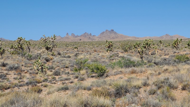
This road travels through the Avi Kwa Ame and Castle Mountains National Monument areas. Visitors will enjoy the serenity and solitude provided by Joshua tree forests and unbroken natural landscapes. The dramatic Castle Peaks, seen west of the road, are a cluster of rock spires that resemble the ramparts of an ancient fortress. The road intersects many motorized and hiking trails that invite exploration.
A two-wheel-drive vehicle with high clearance to handle the uneven, rocky sections can manage this trail, but exploring the connecting trails will require a 4x4.
Dispersed camping near the road can be found primarily in the Avi Kwa Ame National Monument portion of the trail or the easternmost 11 miles of the road. Campers must follow Leave No Trace principles and use previously disturbed or established primitive sites. An existing campsite can be found 3 miles from the eastern end of the road, next to an old corral.
Updated: 07/28/2026
Shingle Shortcut Road
Lund, Nevada
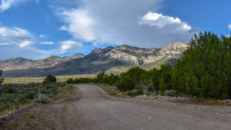
Shingle Shortcut Road is a scenic high-desert dirt road in Lincoln County that links Patterson Pass and Shingle Pass. Running through the low-lying areas of Cave Valley, it forms an important middle connector in a series of trails that together provide a route between Highways 93 and 318. The road offers wide-open valley views framed by distant mountain ranges, with the classic Nevada high-desert landscape of sagebrush, scattered pinyon, and expansive basins.
The route consists primarily of dirt, with some muddy sections in the lower parts of Cave Valley that should be avoided during rainy periods or during snowmelt. It provides a straightforward connection for travelers between the Patterson Pass and Shingle Pass areas while allowing them to experience the region's remote backcountry character.
Dispersed camping is available on public lands along the route, but the only established campsites are on the eastern side of the valley between Cave Valley and N. Cave Valley roads. Of those, approximately six are large enough for small groups, relatively flat, and have minimal rocks.
Updated: 07/02/2026
High Rock Canyon Road
Swedes Place, Nevada
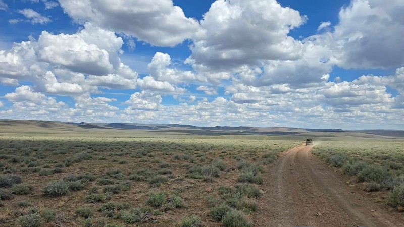
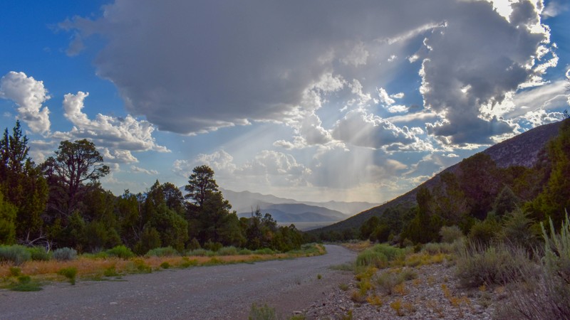
High Rock Canyon Road is a scenic backcountry route serving as the primary northern gateway to High Rock Canyon, connecting Washoe County 34 to Stevens Camp Road . The road meanders through the vast solitude of Nevada's Great Basin, crossing expansive sagebrush plains, rolling volcanic hills, and broad desert valleys framed by sweeping views of the Granite Range and Calico Mountains. While the drive is not technically demanding, frequent washboards, rocky stretches, erosion channels, and occasional wash crossings add just enough challenge to keep drivers engaged, making a high-clearance vehicle the ideal choice. Unlike many backcountry routes, the road has no established or notable campsites, making Stevens Camp the first practical camping opportunity at the trail's end. The route culminates at Stevens Camp, where the historic High Rock Canyon Trail begins, marking the transition from an open desert drive to one of Nevada's most spectacular overland adventures.
Updated: 07/28/2026
Patterson Pass Road
Atlanta, Nevada
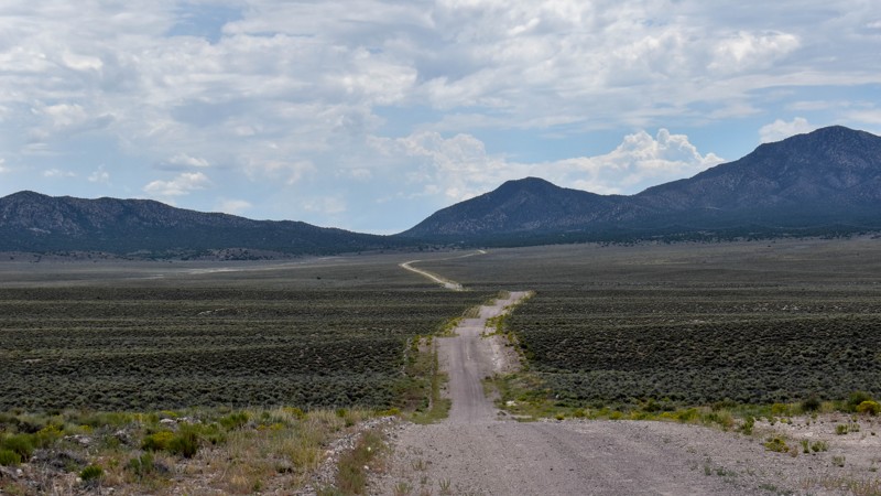
Patterson Pass Road is a scenic high-desert dirt road in Lincoln County’s Schell Creek Range. Topping out at 7,400 feet elevation, it winds through pinyon-juniper woodlands and sagebrush hills between peaks like Mt. Grafton (10,997 ft) and Mt. Montezuma (9,121 ft). The trail delivers sweeping valley views and serves as an excellent trailhead for the Silver State OHV Trail network — the first Congressionally designated off-highway vehicle trail in the United States. This extensive system spans over 250 miles of backcountry routes across Lincoln County, connecting mountain ranges, high passes, and scenic basins for memorable multi-day adventures.
The route combines wider graded dirt sections with narrower, occasionally rocky two-tracks. Nearby BLM-managed Patterson Pass Campground offers about a dozen campsites with fire pits, picnic tables, shade structures, and restrooms at no fee, while dispersed camping is available on public lands. The area carries mining history from silver discoveries in the Patterson district around 1869 and early 20th-century operations by companies like the Lake Valley Mining Company.
Updated: 09/13/2026
Silver King Road
null, Nevada
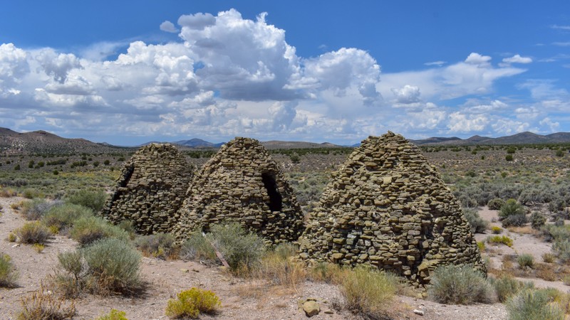
Silver King Road is a scenic high-desert dirt road in Lincoln County that ties directly to Highway 318 and crosses most of Muleshoe Valley, ending at Bristol Wells Road. The route travels across the broad valley floor, offering gorgeous views of the surrounding mountain ranges in every direction. Travelers frequently spot wild horses in the area, adding to the remote beauty of this classic Nevada backcountry drive.
The road is a dirt surface suitable for high-clearance vehicles. It connects to the Silver State OHV Trail network and provides excellent access for exploration throughout Cave Valley. The area features remnants of mining history, including stone cabins and smelter slag along Silver King Road — reminders of the region’s early mining activity in the late 19th and early 20th centuries.
While dispersed camping is allowed along this route, campsites are virtually nonexistent. The only established fire ring and signs of use are near the cabins at the Bristol Wells townsite. Nearby camping options include Dave Deacon Campground, located northwest of the Highway 318 intersection via the Sunnyside Cutoff. Along the east side of the trail, a couple of campsites can be found on spur trails, though none are particularly special. Near Griswold Cabins off Silver King Well, there is a campsite with a fire ring, grill, and parking.
Updated: 07/28/2026
Dry Lake Road
Mount Wilson, Nevada
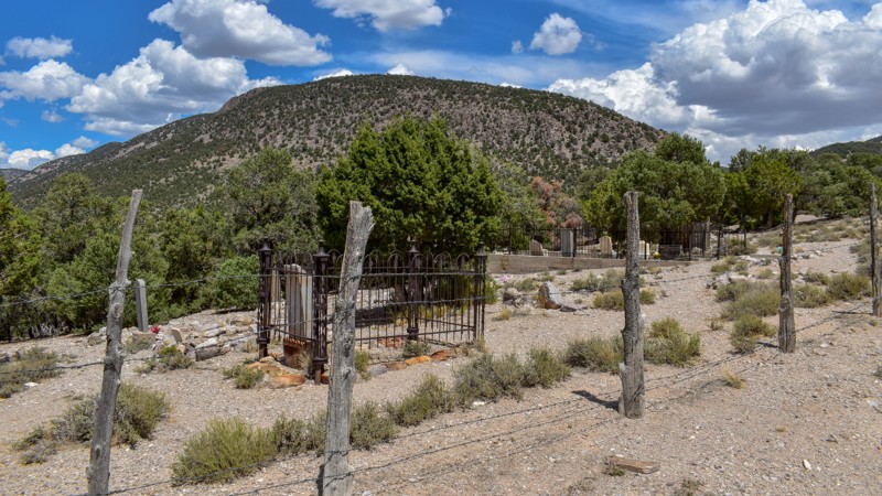
Dry Lake Road is a short, scenic, high-desert dirt road located in central Cave Valley. The route travels through low-lying grassland and sagebrush with views of the surrounding mountain ranges. Historic charcoal ovens are visible along the trail, while remnants of old smelter slag and stone cabins are visible in the distance.
The road is a dirt surface suitable for stock SUVs and other high-clearance vehicles, but it can become difficult when wet. It connects to the Silver State OHV Trail network.
Dispersed camping is allowed on surrounding public lands, but there are no established campsites along the trail itself. Better options are found to the west along the numerous side spurs.
Updated: 08/13/2026
Osceola Road
Osceola, Nevada
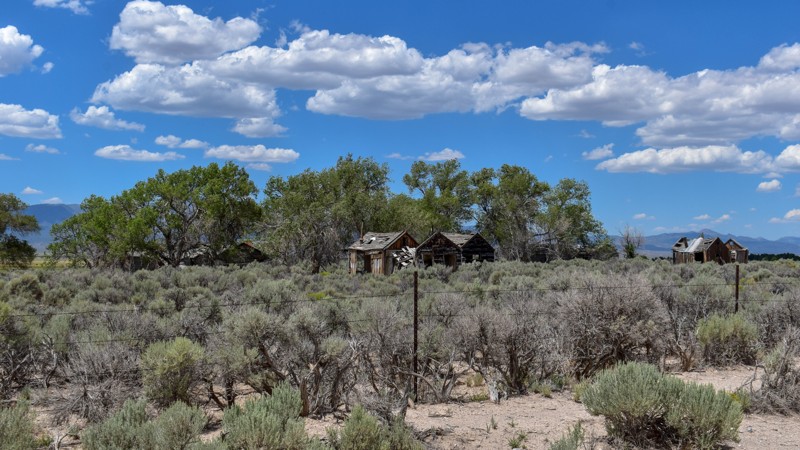
Osceola Road is a dirt road with exposed rock and occasional brutal washboard. The road runs past the Osceola Cemetery, which is open to the public, and through the Osceola townsite (private property, viewable only from the road) before reaching Sacramento Pass Recreation Area at the north end. It travels through high-desert terrain of sagebrush and pinyon-juniper woodlands, with great views of Spring Valley and the Spring Valley Wind Farm, plus old headframes and ore bins along the mountainsides, and clear evidence of the large amount of dirt removed from Grub Gulch by the hydraulic mining methods of the time. Mining continues in this area today. Please do your research to find open ground if coming out to prospect, as most of the ground is claimed or patented private property.
No established campsites along the road, with sparse pull-offs and limited opportunities for small or solo groups along various spur trails in the junipers and pines (trails often overgrown). Parts of the road cross private property where camping is not allowed. Sacramento Pass Recreation Area has several spots with shade and picnic tables on relatively flat improved surfaces for tent camping, a large group site with shade and table, equestrian sites further from the highway in the juniper trees, a stocked pond for fishing, and a vault toilet.
Updated: 08/11/2026
Shoshone Road
Burbank, Nevada
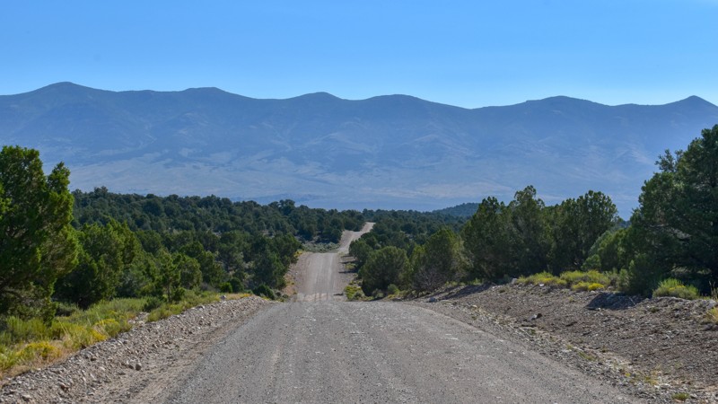
Shoshone Road is a rough dirt route that connects Big Springs Road to US 93 via its paved northern portion. It winds through pretty rolling hills with mild washboard, plus bumpy sections of exposed bedrock and cobble-like rock that create a rough ride in spots. Minimal vegetation dominates the east end amid expansive high-desert views of the surrounding ranges, including Mt. Wheeler, while sparse junipers appear in the ravines. Highlights include the wide-open scenery and the Minerva townsite, where weathered wooden structures remain from its days as a tungsten mining camp.
Minerva began with silver discoveries in 1869 that briefly organized the Shoshone district before abandonment by 1876; tungsten (scheelite) mining then drove activity under the Minerva Tungsten Corporation during World War I (peaking around 1916–1918) and a major revival by Tungsten Metals Corporation from the mid-1930s through the 1940s, with a company camp of cabins and a mill that supported dozens of workers until the market collapsed and later operations faded by the late 1950s. Shoshone, about 1½ miles north, served as the local post office, school (for Minerva miners’ children), and the Swallow/Shoshone Ranch headquarters, which supplied water to the camp; the ranch remains active today, while the mining site is abandoned.
Dispersed camping is allowed along most of this trail, but there are no established, suitable sites. There is little shade or windbreak along most of the trail amid the open sagebrush and sparse vegetation, although several spur trails leading farther up into the mountains offer some camping opportunities.
Updated: 07/28/2026
Shingle Pass Road
Lund, Nevada
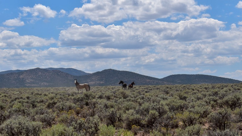
Shingle Pass Road is a scenic high-desert dirt road in Lincoln County’s remote backcountry. It climbs through the area near Shingle Pass, offering expansive valley views and easy access for exploration within Cave Valley. The route winds through classic Nevada high-desert terrain with sagebrush flats, pinyon-juniper woodlands, and dramatic mountain backdrops, providing a peaceful drive through open country.
The road is a maintained dirt surface suitable for high-clearance vehicles. It connects to the Silver State OHV Trail network, making it a useful link for travelers exploring the broader backcountry routes across the region.
Dispersed camping is available on public lands along the route. The easternmost mile of this trail is private land with no camping allowed. There is only one campsite along the trail, near the intersection with Shingle Shortcut Road. A couple of spur trails east of the intersection have additional established campsites, while virtually none exist to the west. The best and closest campsites are found on the eastern end of Shingle Shortcut Road. Patterson Pass Campground, a BLM site with a vault toilet, picnic tables, and shade, is also available along Patterson Pass Road near Highway 93.
Updated: 08/11/2026
Atlanta Road
Majors Place, Nevada
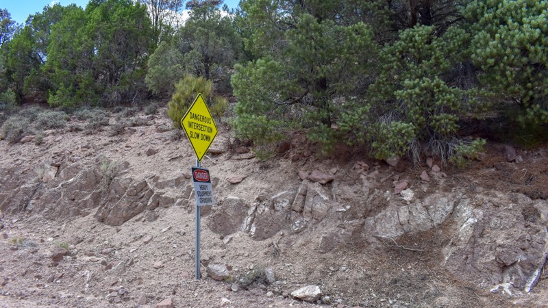
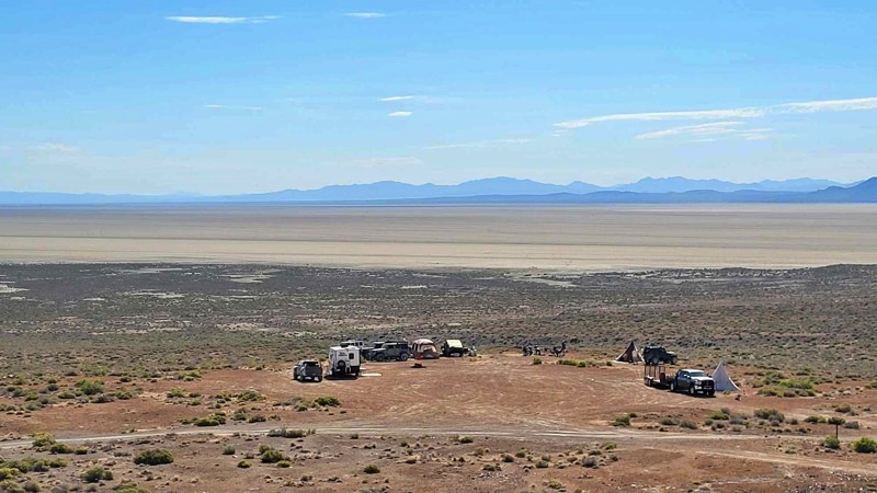
Atlanta Road is a rough dirt road that runs along the east side of the Fortification Range in the high-desert Great Basin, connecting toward Shoshone and Atlanta while offering far-reaching valley views and distant mountains. The surface is uneven dirt with mild washboard, occasional soft or muddy spots, exposed rock, and occasional rougher sections; high-clearance vehicles handle it under normal dry conditions, though caution is needed near heavy-equipment crossings.
Jagged cliffs, rocky outcrops, and unique mountain features stand out on the east side of the Fortification Range. Sagebrush and rabbitbrush cover the valley floor, with wild horses often visible in the distance. The route passes through the ghost town of Atlanta (a former mining settlement now reduced to scattered remnants) and continues through an active mine—observe and respect all posted signage.
Only one established campsite is visible from the trail near Atlanta Summit; it sits too close to the road on a slope but offers shade from tall pines. Sparse opportunities exist due east of the Fortification Range along a less-traveled road, where sites are flatter among more junipers. Camping is virtually nonexistent along the remainder of the trail.
Updated: 07/02/2026
Cassidy Mine
Gerlach, Nevada
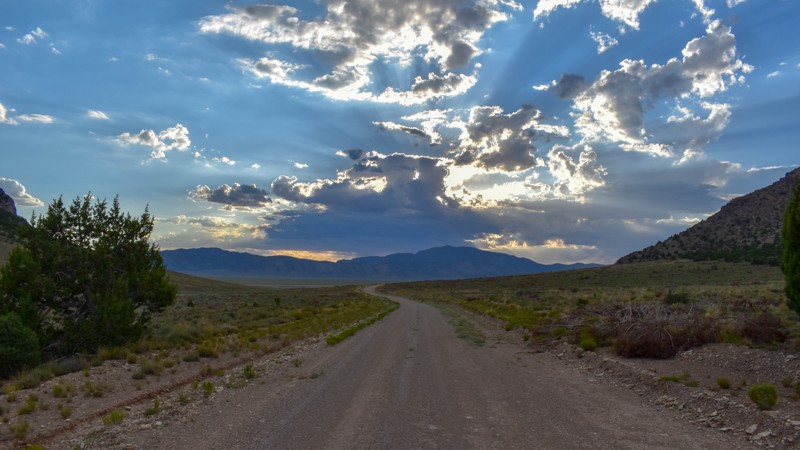
The Cassidy Mine Trail provides scenic access to the Black Rock Playa from Soldier Meadows and features some of the best elevated views in the southern Black Rock Desert. The short route descends roughly 200 feet, revealing sweeping panoramas of the playa, the Calico Hills, and the surrounding mountain ranges. Several spacious campsites overlook the desert below, offering incredible sunrises and sunsets and relief from the dust often found on the open playa. Large group campsites make excellent base camps for exploring the Black Rock and High Rock Canyon regions. Historic remnants of the Cassidy Mine and the old Trego Mining District can still be found scattered throughout the surrounding hills. While the trail presents no significant obstacles, seasonal weather and runoff can create washouts and rough sections on this unmaintained road.
Updated: 07/28/2026
Side Hill Road
Mount Wilson, Nevada
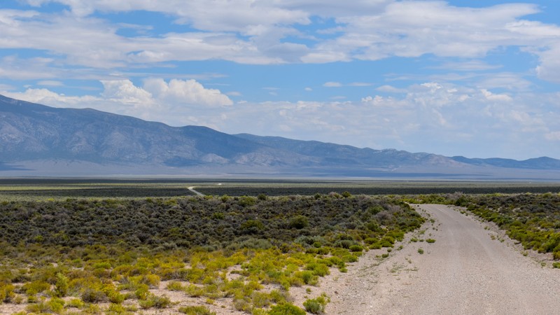
Sidehill Road is a scenic high-desert dirt road in Lincoln County that serves as a connector between Highway 93 and Cave Valley through Muleshoe Valley. It traverses the valley's rolling terrain, offering open views of the surrounding mountain ranges and the expansive basin landscape. The route provides a peaceful drive through classic Nevada high-desert country with sagebrush flats and scattered pinyon-juniper, making it a pleasant option for backcountry exploration.
The road is graded dirt. It connects to the Silver State OHV Trail network and provides convenient access for exploration throughout Cave Valley. Dispersed camping is allowed on surrounding public lands, but sites along this road are few and far between. Spur trails offer additional camping opportunities. The site shown in the photo, located 4.5 miles east of Highway 93, is a very nice campsite suitable for 3–4 rigs. Note that a drainage ditch and berm run along most of these roads and can create access issues for low- to medium-clearance vehicles. Mud Springs Road crosses this road; the best campsites are found along the northern third of Mud Springs Road.
Updated: 08/11/2026
South Highline Road
Majors Place, Nevada
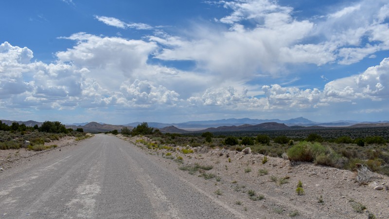
South Highline Road is a smooth dirt road that serves as the northernmost connector between Shoshone Road and Atlanta Road in White Pine County, NV. The graded gravel surface stays even and free of significant washboard or rock, making it suitable for all vehicles under normal dry conditions as it runs through dense low sagebrush and yellow-flowered shrubs with open high-desert terrain and distant mountain ranges visible in every direction.
Dispersed camping is allowed, but there are no established or suitable spots along the trail. The dense vegetation and berm make camping along this trail less than ideal. Better-suited campsites can be found along the many spurs west of Shoshone Road.
Updated: 09/13/2026
Bristol Wells Road
Mount Wilson, Nevada
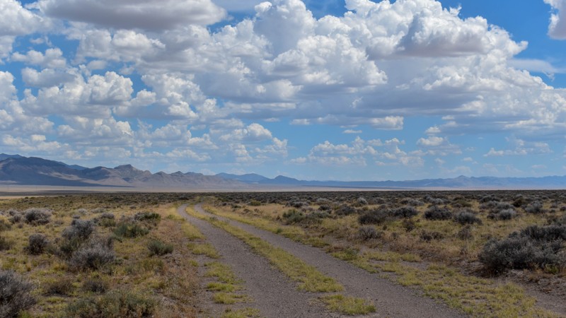
Bristol Wells Rd is an easy graded dirt road winding through classic Great Basin high-desert scenery of open pinyon-juniper woodlands—dominated by singleleaf pinyon pine and Utah juniper—dotted with sagebrush and seasonal golden rabbitbrush. It offers quiet views across alluvial slopes toward the rugged Bristol Range, Cave Valley, and the Silver State Trail Network, with frequent opportunities to spot wild horses, jackrabbits, or eagles in this remote landscape.
The trail reaches the Bristol Wells ghost town (also known historically as National City, Bristol City, and Tempest), a key 19th-century mining camp and smelter hub. Claims were first staked in 1870, and the district was organized the following year around the National Mine. A furnace was built in 1872 to process silver-lead ore from the Bristol Mine four miles east; richer discoveries in 1878 prompted a stamp mill and the town’s renaming. By 1880, the mill had expanded alongside a smelter fueled by distinctive beehive charcoal kilns built of local stone that converted surrounding pinyon and juniper wood into charcoal, while the site’s wells supplied water to the mines. The population peaked near 400 around 1890 with a new copper smelter, before declining after 1893. A brief copper leach plant operated around 1900, and an aerial tramway later linked the site to Jackrabbit. Listed on the National Register of Historic Places in 1972, the site today preserves striking remnants, including black slag terraces, stone building ruins, a small cemetery, and three largely intact charcoal kilns.
Updated: 07/28/2026
Lower Pond Road
Pioche, Nevada
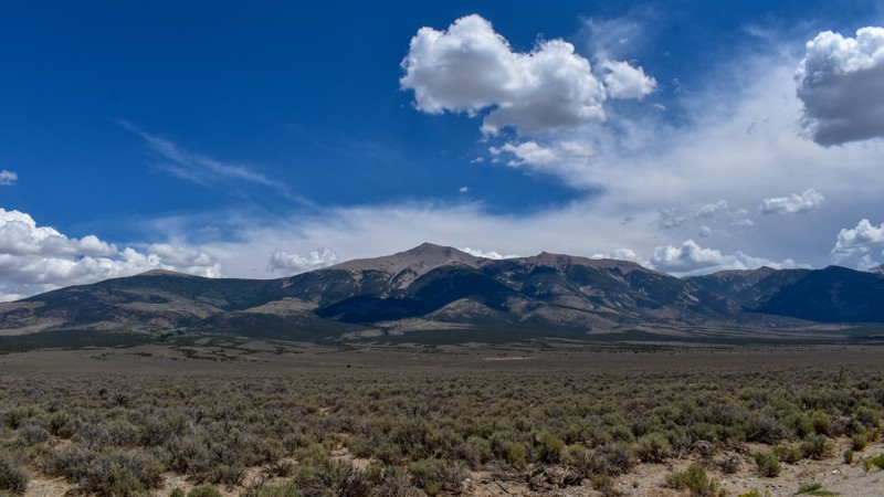
Lower Pond Road is a short, scenic, high-desert dirt road in central Cave Valley. The route travels through low-lying grassland and sagebrush with views of the surrounding mountain ranges. It is a connector road and offers a quiet drive through the open valley floor.
The road is a dirt surface suitable for high-clearance vehicles, but it can become difficult when wet. It connects to the Silver State OHV Trail network and provides access for exploration in Cave Valley.
Dispersed camping is allowed on surrounding public lands, but there are no established campsites along the trail itself. Better options are found to the west along the numerous side spurs.
Updated: 08/11/2026
South Spring Valley Road
Osceola, Nevada
South Spring Valley Road is a graded dirt road connecting Osceola Road and Highway 50 to Shoshone Road. The surface is gravelly with scattered small rocks and some embedded cobble, often developing rough washboard from frequent use, delivering a bumpy ride in spots while remaining suitable for all vehicles under normal dry conditions. It crosses open high-desert terrain thick with low sagebrush, providing views of Mt. Wheeler and the Snake Mountain Range, plus access to mining history, Willard Creek, numerous spur trails, and occasional year-round creeks in the drainages.
There are no dispersed or suitable sites along the trail. Camping is available along Willard Creek Road, with many dispersed sites in the junipers and two sites right along Willard Creek that offer shade and running water.

Upgrade your Membership
Unlock all of the details on every Trail Guide and Scout Route.
Start a 7-day Free TrialBrowse Trails in Nevada by City
Browse every Nevada city with offroad trail guides.
Community
Partners

