By clicking "ACCEPT", you agree to be the terms and conditions of each policy linked to above. You also agree to the storing of cookies on your device to facilitate the operation and functionality of our site, enhance and customize your user experience, and to analyze how our site is used.
Pennsylvania Trails


Most Recent Trail Reviews
Most Popular
Rausch Creek Off Road Park: 11
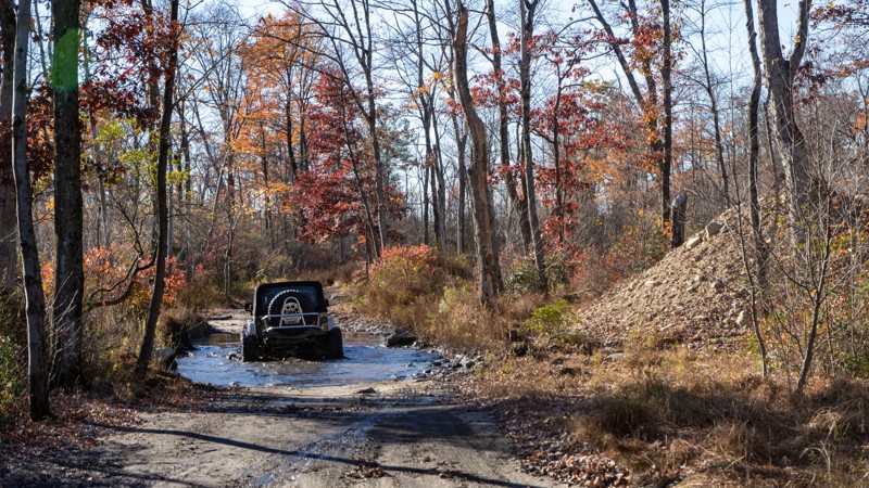
No matter how big and bad your vehicle is or how simply stock it is, Trail 11 in Rausch Creek Off Road Park is a must-do trail. You will meander around a glacial depression chock full of trees, and plenty of small obstacles and terrain features will keep you interested in the road while taking in the sights of the surrounding woodlands. This trail is suitable for any beginner. After checking this one off the list, be sure to check out the remaining 3,000 acres and over 80 miles of trails for almost every type of 4WD vehicle, from stock to pro rock buggies.
Fern Ridge - Anthracite Outdoor Adventure Area
Located within the 8,000-acre Anthracite Outdoor Adventure Area (AOAA), Fern Ridge is a progressively technical trail that grasps every moment of your attention and endlessly temps you with something more challenging around every bend. With multiple exit points, Fern Ridge almost seems to tease you and leave you wondering if the next stretch will be too much for your vehicle. Come test your skills along this Jeep Badge of Honor trail and attempt the handful of optional hardcore loops it offers.
Rausch Creek Off Road Park: Crawl Daddy
Barney Rubble - Anthracite Outdoor Adventure Area
Named after the iconic cartoon character from the Flinstones, Barney Rubble is a technical trail located within Anthracite Outdoor Adventure Area (AOAA). This trail requires precise vehicle control as you surgically maneuver through a vast expanse of tombstone-sized boulders. As a newly recognized Jeep Badge of Honor trail, this epic trail is a rock crawler's fantasy that will keep the adrenaline pumping through your veins for hours. Whether you come for the badge, the challenge, or the adventure, be sure to explore as many trails as you can within this 8,000 acres off-road park.
Rausch Creek Off Road Park: Crawler Ridge
Poe Paddy Drive
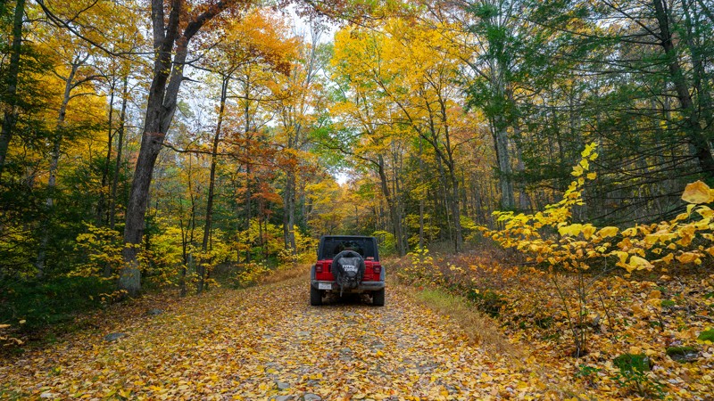
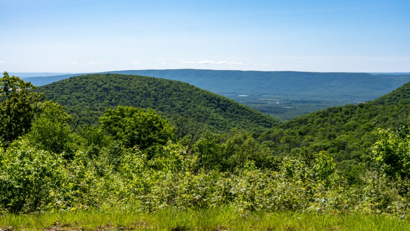
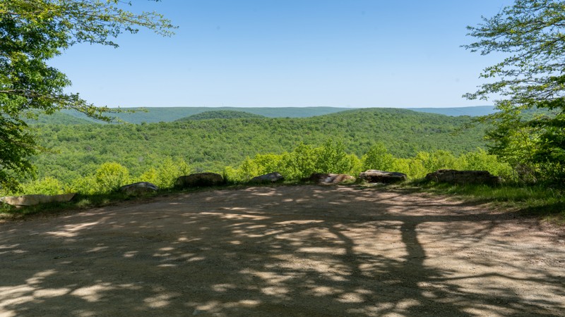
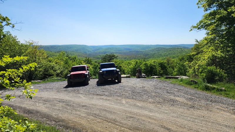
Poe Paddy Drive offers the best views in the Bald Eagle State Forest with two viewing area pull-outs directly on the trail. Bald Eagle State Forest is named after the Native American Chief Bald Eagle and stretches across 194,602 acres of ridges, mountain streams, and tracts of old-growth forest. Visiting the forest in September and October can be a real treat, with vibrant, changing leaves surrounding you on every road. Bald Eagle State Forest is worth spending an entire weekend or more and is well suited for families and groups with multiple state-managed campgrounds in the immediate area.
Coal Knob
Situated just south of the Allegheny Reservoir, Coal Knob is just one of many recreation-friendly roads in the 514,029 acres of public land that make up the Allegheny National Forest. This area has multi-use motorized roads, hiking trails, and designated camping. For those who enjoy multiple motorized platforms, the Allegheny National Forest boasts 76 miles of interconnecting OHV-specific trails. Like much of the eastern United States, visiting in September and October is a real treat, with leaves changing to vibrant yellow, orange, and red. With various sizes of designated campsites that are plentiful and easily accessible, Coal Knob is an excellent option for solo travel and families alike, .
Red Mill Run
Situated at the southern end of the Allegheny National Forest, Red Mill Run is just a few miles north of Ridgway, giving you easy access to 514,029 acres of public land in northern Pennsylvania. The Allegheny National Forest is filled with multi-use motorized roads, hiking trails, and improved campgrounds. It even encompasses the Allegheny Reservoir for outdoor enthusiasts looking for water time. For those who enjoy multiple motorized platforms, the Allegheny National Forest boasts 76 miles of interconnecting OHV specific trails. Like much of the eastern United States, visiting in September and October is a real treat, with leaves changing to vibrant yellow, orange, and red. Red Mill Run and the Allegheny National Forest have plentiful dispersed, designated, and improved camping for solo travelers and families.
Strong Mountain Road
Strong Mountain Road runs through the Bald Eagle State Forest, named after the Native American Chief Bald Eagle. Bald Eagle State Forest stretches across 194,602 acres featuring ridges, mountain streams, and tracts of old-growth forest. Visiting the forest in September and October is a real treat, with vibrant, changing leaves surrounding you on every road. Bald Eagle State Forest is worth spending an entire weekend or more and is well suited for families and groups with multiple state-managed campgrounds in the immediate area.
Sharpback Hollow
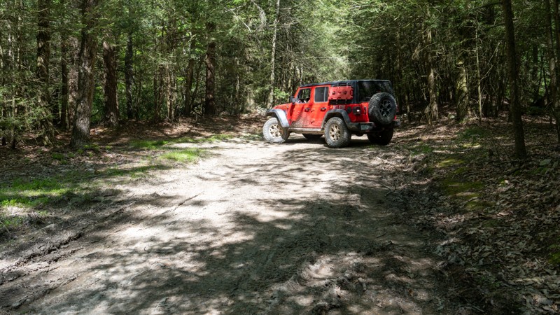
Located within the Bald Eagle State Forest, not far from the icon town of Woodward, Sharpback Hollow is one of the few drivable trails within the state forest where you will need a true 4WD vehicle. Deep ruts, sharp rocks, and murky mudholes lie in wait beneath the shadows of the leafy canopy. If you hope to leave the gravel roads behind, the relentless barrage of varying terrain along this trail makes it enjoyable for anyone seeking a challenge.
Little Poe Road
Little Poe Road is one of the trails in the Bald Eagle State Forest, named after the Native American Chief Bald Eagle, and stretches across 194,602 acres of ridges, mountain streams, and tracts of old-growth forest. Visiting the forest in September and October can be a real treat, with vibrant, changing leaves surrounding you on every road. Bald Eagle State Forest is worth spending an entire weekend or more and is well suited for families and groups with multiple state-managed campgrounds in the immediate area.
Duncan Trail
Located in the Bald Eagle State Forest, just south of Interstate 80, Duncan Trail is a rugged and tight drive following the southern contours of Nittany Mountain. The overgrown foliage along this trail will leave you feeling accomplished, as if you were the first person in ages to bushwhack your way from point to point. The dense tree cover cleverly tries to portray this short trail as secluded and alone, but users can rest easy knowing you are only a stone's throw from the highway.
Milesburn Road
Milesburn Road is an easy, dirt alternative between the towns of Shippensburg and Fayetteville, traveling through the Michaux State Forest. The road is 1.5-2 vehicles wide as it snakes its way through old-growth forests, offering scenic wood views. There are tons of hiking opportunities off this road and plenty of fishing at Long Pine Run Reservoir. There is one State Forest campsite along the route, campsite number 11. This is a hike-in site where you must park at the road and hike your gear to the campsite. Formal campgrounds can be found at the nearby Caledonia State Park. This road is suitable for any vehicle.
Henstep 4x4 Drivable Trail
Henstep 4x4 Drivable Trail is one of the few trails in the Bald Eagle State Forest that specifically has 4x4 in the designation. This trail will absolutely cause pinstriping and is not recommended by full-size vehicles due to the width of certain areas and the vegetation's proximity to the trail. The difficulty rating for this route is due to the multiple soft-bottom mud pits that get significantly deeper seasonally and the rocky climbs. Pay attention to the exposed edges of the mud pits. Depth fluctuations range from a couple of inches to 16 plus.
Salmon Creek Road
102 Green - Anthracite Outdoor Adventure Area
At nearly 6 miles long and spanning almost the entire length of the Western Reserve, Trail 102 Green is the longest continuous trail within Anthracite Outdoor Adventure Area (AOAA). This is a straight-through trail used as one of the main travel veins through the reserve and is the main entry and exit point for the Fern Ridge Badge of Honor Trail. Trail 102 Green starts relatively easy and wide as it crisscrosses multiple times with its sister trail, 102 Blue. After crossing several mud holes, the two trails become one again as the trail chokes down to a single vehicle wide in width. The trail snakes its way through the tight and thick forest, traversing countless rock gardens of varying sizes and shapes, from footballs and grapefruits to tombstones. Eventually, the trail widens a bit and comes to an excellent lookout at Glacier Rocks, where you can experience truly unique rock features not seen anywhere else in the park. The trail continues its trek west, weaving through tight trees and traversing the rough terrain.
Because trail 102 Green parallels Fern Ridge and is significantly easier, park staff recommends 102 as an alternative badge trail for those with vehicles incapable of tackling Fern Ridge. Trail 102 Green is suitable for stock high clearance 4x4s, but is not recommended for groups, long-wheelbase vehicles such as pickups, or extremely wide vehicles. Due to the rocky terrain, airing down is highly recommended.
Be sure to reference the AOAA website for accommodation links, days and hours of operation, waiver, and pass purchasing links.
Red Tongue Trail
Originally a log tram route, Red Tongue Trail is a narrow, bumpy two-track that cuts through thick and lush foliage, tip-toeing the border between Bald Eagle State Forest and Tiadaghton State Forest. Located a short distance from Milton, just north of I-80, Red Tongue Trail is a great alternative to the gravel roads nearby, providing plenty of solitude and adventure.
Three Runs Tower Road
Longwell Draft Road
Hook Run
Rausch Creek Off Road Park: Trail H
High Top Trail
South of the Snyder-Middleswarth State Forest Picnic Area, branching off from Swift Run Road, High Top Trail is a short, narrow trail that will forever leave its mark etched into the surface of your once pristine paint job. The relentless assault of branches and twigs will create an unsettling symphony of abrasion as you navigate through a dense thicket of tightly packed brush and sun-blocking trees. If you ever wanted to experience the sense of true bush-whacking, this might be the trail for you.
12 - Anthracite Outdoor Adventure Area
Trail 12 is a knife-shaped loop trail on the southeastern edge of the Eastern Reserve of Anthracite Outdoor Adventure Area (AOAA). The trail starts easy, making its way up and down rolling hills like a rollercoaster ride, traversing across a hard-packed, two-vehicle wide road as you pass by Polaris Rock. The trail narrows to a single vehicle wide, becomes a bit rougher, and continues to an amazing viewpoint at the Vista View South Picnic Area, dedicated to Kathy Jeremiah. The loop portion begins just beyond the picnic area, where the road becomes extremely rough and slow going due to the many exposed football-sized rocks. The northern half of the loop through Timber Town is lined with extremely dense, tight trees making the trail not suitable for extra wide vehicles or long-wheelbase vehicles such as pickup trucks. Overall, this is a rough and rocky trail still suitable for any short wheelbase, high clearance 4x4.
Be sure to reference the AOAA website for accommodation links, days and hours of operation, waiver, and pass purchasing links.
Sackett Road
Paddy Mountain 4x4 Drivable Trail
Fire Road 137
Loleta Grade
Rausch Creek Off Road Park: C Green
Old Tea Spring Road
Cutting through the dense woods of Bald Eagle State Forest, just north of I-80, Old Tea Spring Road is a high clearance classified drivable trail located just feet from the Tea Springs Picnic Area. A popular access trail for hikers and equestrian riders, this short connection to other roads in the area allows users to wet their whistle on something a little more "off the beaten path."
Rausch Creek Off Road Park: A Green
Havice Valley Road
Branch Ridge Road
Lost Run Road
South Forks Road
115 - Anthracite Outdoor Adventure Area
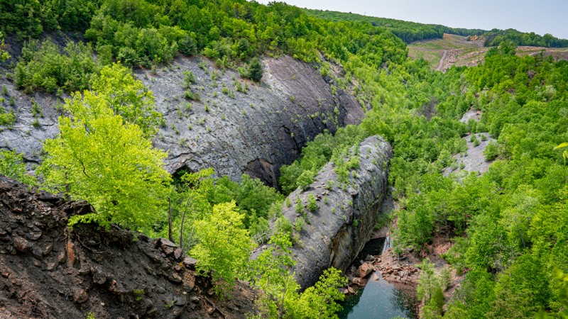
Sprawling across just over 5 miles of the Western Reserve, Trail 115 provides some of the most diverse scenic views within Anthracite Outdoor Adventure Area (AOAA). This straight-through trail starts at Puddle Road and leads riders past the iconic Whaleback Rock Formation, a natural wonder studied by geologists across the world. After the Whaleback, the trail follows the powerlines west, up and down gradual hills, trekking over small and flat, football size rocks that are often times avoidable. The trail is 1.5-2 vehicles wide as it slowly turns north and then leads past several small lakes including Dead Lake. The last stretch of trail heading east across the northern boundary of the park, crosses a minefield of teethchattering pot holes before ending near The Projects, and transitioning into trail 133. Although rough and bumpy in spots, this trail is a fairly fast-paced trail suitable for any high clearance vehicle and is a must do trail for sightseers.
Be sure to reference the AOAA website for accommodation links, days and hours of operation, waiver, and pass purchasing links.
Rausch Creek Off Road Park: B Green
Treaster Valley Road
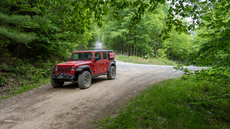
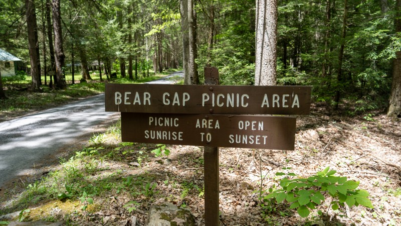
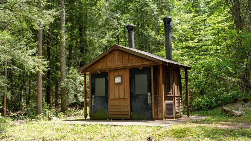
Treaster Valley Road is an easy, wide gravel road through an old-growth mature pine forest. The road is a primary entrance and exit point for the western side of Bald Eagle State Forest, out of the town of Milroy. The road passes many private hunting camps and Bear Gap Picnic Area, where you can find numerous picnic tables, a large pavilion, and a vault toilet. Along the road, you can find State Forest campsite number 46, located off the road about 100 yards and large enough to accommodate any type of camp wet up. Camping permits and reservations are required for all State Forest Campsites and can be reserved online or by calling the State Forest Office. Treaster Valley is a great road to access the forest and explore the many activities the forest offers. It is suitable for any vehicle.
Bingham
Pine Swamp Road
141 - Anthracite Outdoor Adventure Area
Trail 141 is an upsidedown finger-shaped trail in the western reserve of Anthracite Outdoor Adventure Area (AOAA). The total mileage for this trail is 1.4 miles. However, the trail earns its difficult rating from a short, 0.2 mile section just southwest of Glacier Rocks. This section of the trail has a steep, 23-degree slope with large, table-top-sized, diff-catching rock slabs that must be negotiated while leaning slightly off-camber to the downhill side, and maneuvering between tight trees. After this hill, the remaining 1.2 miles of trail is a bumpy but easy drive through small scrabble rock. This trail is best suited for experienced off-road drivers in slightly modified vehicles with larger tires and skidplate protection.
Be sure to reference the AOAA website for accommodation links, days and hours of operation, waiver, and pass purchasing links.
Bootlegger - Anthracite Outdoor Adventure Area
Following the southern rim of the Anthracite Outdoor Adventure Area (AOAA) western reserve, Bootlegger is a straight-through trail that parallels trail 102, one bench below the ridgeline. This trail is an easy, 2+ vehicle-wide trail that spans almost the entire length of the western reserve. The trail has no obstacles with a trail surface of mostly hard-packed soil and small protruding rocks. In the colder months, when the leaves are not on the trees, this trail will provide very scenic views to the south. Bootlegger is a popular trail for groups and passes by a couple of open coal seams where you can gaze upon the mineral the park is named after. This trail is suitable for any high clearance vehicle.
Be sure to reference the AOAA website for accommodation links, days and hours of operation, waiver, and pass purchasing links.
Rausch Creek Off Road Park: Yellow Jacket
N. Br. Sugar Run
Nittany Mountain Road
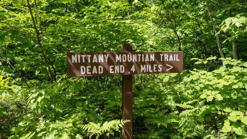
Nittany Mountain Road is a rough, rocky, dead-end two-track leading to a private property line and gate. The road is exceptionally tight and overgrown with thick trees. Drivers should anticipate pinstriping from the trees and possible undercarriage damage due to grapefruit-sized rocks. A few sticky seasonal mudholes can be found along the trek, with water depths ranging from a few inches to sixteen inches deep. There are no significant obstacles along the road, but continuous rocks slow the 7.5-mile round trip. Although suitable for stock high clearance 4-wheel drives, the narrowness of the trail makes it best for small and narrow 4-wheel drive vehicles.
Zimmerman Tower
Puddle Road - Anthracite Outdoor Adventure Area
Trail 101, also known as Puddle Road, is a straight-through trail primarily used as a main travel vein through the Western Reserve of Anthracite Outdoor Adventure Area (AOAA). This trail is multiple vehicles wide for most of the trek and traverses countless muddy water holes. Most water holes are only a few inches deep, but a few holes are known for swallowing vehicles and have good signage to help users avoid the deepest parts of said holes. Besides the muddy spots, this trail offers no obstacles and follows a hard-packed dirt surface with occasional protruding rocks. The trail overlooks and ends at the park's iconic Mammoth Trail, where users can take advantage of the bus-sized boulders and snap a few poser shots. This trail is suitable for any high clearance 4x4.
Be sure to reference the AOAA website for accommodation links, days and hours of operation, waiver, and pass purchasing links.
Pine Creek Hollow
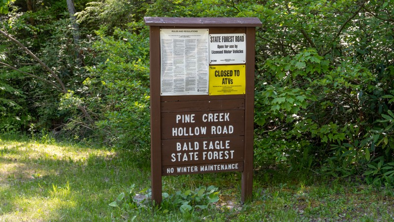
Traveling between the historic town of Woodward and the R.B. Winter State Park, Pine Creek Hollow is a straight-through, well-maintained gravel road that accesses numerous hunting camps and hiking trails, such as the iconic Mid State Trail. One unique feature of this road is the expansive stands of pine trees you will find. The road is 1.5-2 vehicles wide and suitable for any vehicle.
Rausch Creek Off Road Park: J Green and Blue
Rausch Creek Off Road Park: D Green
Owls Nest
Buzzard Swamp
Old Shingle Road
Old Shingle Road is an easy, gravel connector road that follows along the southern edge of The Hook Natural Area. It is the quickest way to enter the Bald Eagle State Forest from Mifflinburg. The road passes through a thick hardwood forest with sections of dense fern and traverses several gradual grades along the slopes of Buffalo Mountain. The road is 1.5 vehicles wide most of the way but offers numerous pullout opportunities to pass oncoming traffic. This road is suitable for any vehicle.
Big Mill Creek
East Anthracite Road - Anthracite Outdoor Adventure Area
East Anthracite Road is a dead-end main access trail through the Eastern Reserve of Anthracite Outdoor Adventure Area (AOAA). This trail is an easy, well-maintained dirt road of mostly graded gravel and hard-packed dirt. Occasional mud holes appear during wet weather, but bypasses exist for anything that might offer a slight challenge. Although this is an easy trail suitable for any vehicle, it offers many unique things to see and photograph.
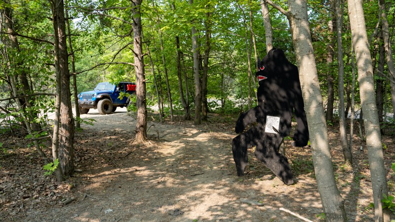
Beginning at the main parking lot, East Anthracite Road travels past a massive dragline bucket that you can park in. About halfway through the trail, you can visit the Carbaugh Conservation Area, a protected area for a new breed of chestnut tree. This new hybrid is hopefully resilient to blight, a fungal disease that devastated the American chestnut tree and killed over 4 billion trees in the east during the first half of the 20th century. The trail continues east, ending at a private property gate near trail 41. Keep an eye out for Bigfoot. Take a picture of him and show the photo to an employee at the office. They'll give you a special sticker for your efforts.
Be sure to reference the AOAA website for accommodation links, days and hours of operation, waiver, and pass purchasing links.
Jones Mountain
Jones Mountain Road is a scenic drive along the northern edge of The Hook Natural Area within Bald Eagle State Forest. This easy, straight-through gravel road is two vehicles wide the entire length with a few mild grades that shouldn't be a problem for any vehicle. The scenic viewpoint at the three-mile mark looks out over the lush forest and across to Seven Notch Mountain, making it a beautiful spot for fall colors. The road passes campsite 31, a large, roundabout-style campsite with a steel fire ring and a picnic table. The site is suitable for just about any camp setup, but large travel trailers and RVs will likely find the site too tight to maneuver. Camping permits and reservations are required for all State Forest Campsites and can be reserved online or by calling the State Forest Office. There is little to no cell service along the road. Making prior camping arrangements is highly recommended.
110 - Anthracite Outdoor Adventure Area
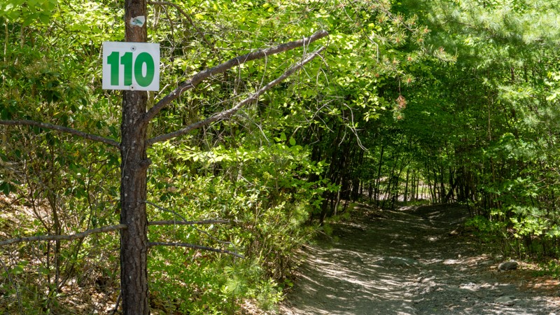
Trail 110 is a straight-through connector trail between Anthracite Outdoor Adventure Area (AOAA) trails 104 and 101. 110 passes through several shallow, but soft-bottomed mudholes as it treks through tight trees and is generally only one vehicle wide the entire trail. Beyond the mudholes, the trail travels across a hard dirt and gravel surface, with no rock obstacles. This trail is suitable for any high-clearance 4x4 vehicle.
Be sure to reference the AOAA website for accommodation links, days and hours of operation, waiver, and pass purchasing links.
Spruce Run Road
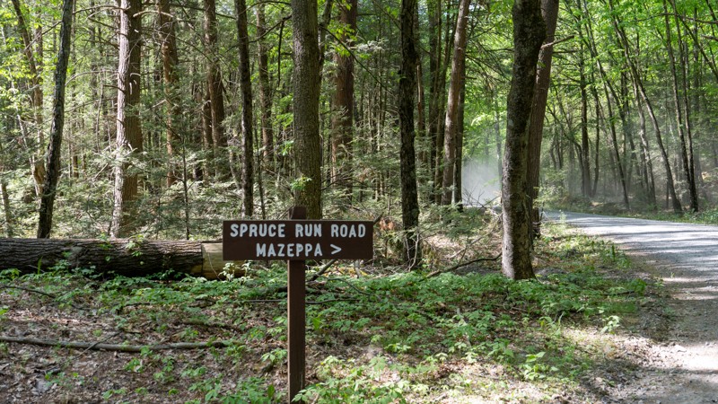
Spruce Run Road is an easy, wide, straight-through gravel road that connects Cooper Mill Road to the Spruce Run Reservoir. The road is suitable for any vehicle. This is a casual drive through the thick trees of the Bald Eagle State Forest along the banks of Spruce Run Creek. Several pullout opportunities exist to enjoy watering holes along the creek and three State Forest campsites along the drive. Campsites 4, 5, and 8 are directly off the road, each with a steel fire ring and picnic table. The sites can accommodate any camp setup, from tents to trailers. Camping permits and reservations are required for all State Forest Campsites and can be reserved online or by calling the State Forest Office. There is virtually no cell service along this road. Making prior camping arrangements is highly recommended.
Mudlick Road
Rausch Creek Off Road Park: Pole Line Green
137 - Anthracite Outdoor Adventure Area
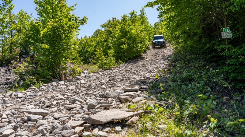
Trail 137 is a half-loop-shaped trail along the western edge of Anthracite Outdoor Adventure Area (AOAA) between trails 112 and 148. Trail 137 starts with a steep and loose rocky hillclimb that will tilt your vehicle to 20 degrees. After traversing the volleyball-sized rocks, you trek through tight trees and brush, guaranteeing pinstripes on your vehicle, before descending a steep and loose hill and passing some old mining equipment. Route finding down the ridgeline past the equipment can be challenging as the paths change and deteriorate through the tailings. Be extremely cautious dropping down the tailings as you will encounter dangerous off-camber tilts up to 28 degrees. This trail is best suited for experienced off-road drivers in slightly modified vehicles with larger tires and skidplate protection.
Be sure to reference the AOAA website for accommodation links, days and hours of operation, waiver, and pass purchasing links.
Swift Run Road
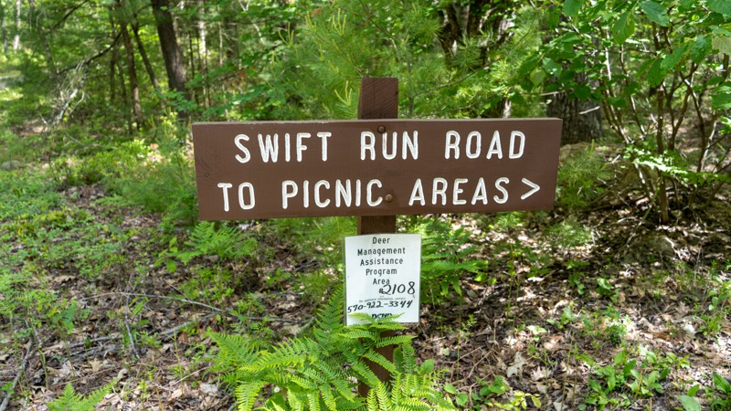
Swift Run Road is an easy gravel road along the Snyder-Middleswarth Natural Area within the Bald Eagle State Forest. This road takes users to a ton of recreational activities, including hunting, fishing, hiking, camping, picnicking, and birdwatching. The road is two vehicles wide the entire way, passing State Forest campsites 64, 65, and 66. Camping permits and reservations are required for all State Forest Campsites and can be reserved online or by calling the State Forest Office. Swift Run Road also takes users to two picnic areas. Snyder-Middleswarth Picnic Area is a large picnic area on the creek's edge. Several large group tables and pavilions make this an excellent place to bring a group or large family. Rock Springs Picnic Area has a vault toilet and individual picnic tables, making it best for small families. You will find plenty of fantastic pullouts along this road to stop and enjoy the tranquil environment along Swift Run Creek. This road is suitable for any vehicle.
Red Run Road
Sackett
Sand Rock Road
Portage Road
124 - Anthracite Outdoor Adventure Area
Trail 124 is a simple and short connector road between trails 101 and 115 in the Western Reserve of Anthracite Outdoor Adventure Area (AOAA). This trail offers no obstacles and traverses a well-maintained, hard-packed gravel road. The trail provides two lookout points for the impressive Mammoth Trail, and informational kiosks about local geology. This trail is suitable for any high clearance 4x4.
Be sure to reference the AOAA website for accommodation links, days and hours of operation, waiver, and pass purchasing links.
148 - Anthracite Outdoor Adventure Area
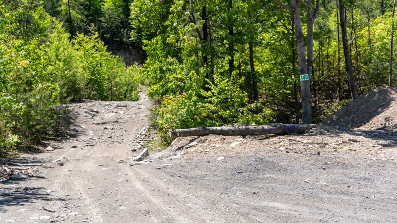
Trail 148 is a straight-through connector trail in the western reserve of Anthracite Outdoor Adventure Area (AOAA) between trails 137 and 102. Trail 148 starts on the north end with a shallow and sticky mudhole that varies in depth depending on the time of year. The trail is mainly a hardpacked surface with some protruding rocks, passing some mining equipment, and ending on the south end with a 50-yard hillclimb covered in flat, dinnerplate-sized rocks. This trail is suitable for any high-clearance 4x4 vehicle. The hillclimb on the south end will likely require low-range.
Be sure to reference the AOAA website for accommodation links, days and hours of operation, waiver, and pass purchasing links.
Panther Run Road
White Deer Creek Road
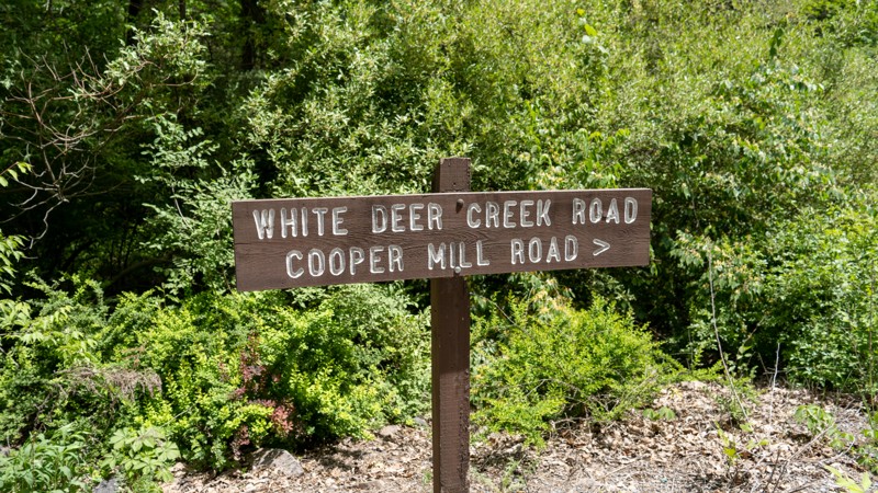
White Deer Creek Road is an easy gravel, straight-through road that connects White Deer Pike to McCall Dam Road. The road has an occasional pothole or washboard section but is 1.5-2 vehicles wide the entire way and suitable for any vehicle. The road parallels White Deer Creek, allowing several great opportunities to cool off in the clear waters.
This road offers a plethora of camping opportunities at State Forest sites 3, 6, 9, 15, and 16. All sites are fairly close to the road but suitable for any type of camp setup, from tents to trailers. Camping permits and reservations are required for all State Forest Campsites and can be reserved online or by calling the State Forest Office. There is spotty cell service along this road. Making prior camping arrangements is highly recommended.
17 - Anthracite Outdoor Adventure Area
Trail 17 is a straight-through trail connecting trails 12 and 47C. As you drive trail 17 east to west along the old coalmine bench, you'll pass many other trails, including the upper exit of Barney Rubble. Trail 17 is located within the Eastern Reserve of Anthracite Outdoor Adventure Area (AOAA) and offers one of the most unique attractions, the U-joint tree. The tree, located at the eastern end of the trail above 47C, was once impaled by a flying U-joint. The joint is now rusty, and the tree has swallowed 3/4 of it, but it is still available for viewing. Beyond this attraction, trail 17 offers a moderately steep, rocky hill climb up what is known as Ski Slope. Ski Slope is the most challenging spot along the trail, which is otherwise a hard-packed dirt surface with occasional protruding rocks. This trail is suitable for any high clearance 4x4.
Be sure to reference the AOAA website for accommodation links, days and hours of operation, waiver, and pass purchasing links.
Wampler Road
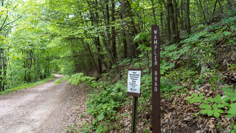
Wampler Road is an easy dirt road leading to a scenic overlook within Rothrock State Forest. The overlook is within a quarter mile of the eastern side of the road, just off Bear Meadows Road. The road continues trekking through the dense forest with no additional views or noteworthy stops. Although this is a straight-through road, Wampler Road intersects and connects to Gettis Ridge Road, which is a much rougher stretch of road and will require a high clearance vehicle. If in a low clearance vehicle, drivers should treat this as an in-and-out road, starting and ending at Bear Meadows Road. The road surface consists of hard-packed dirt and small, egg-sized rock chunks. Most of Wampler Road is 1.5-2 vehicles wide, with plenty of opportunities to pass oncoming traffic.
10 - Anthracite Outdoor Adventure Area
Trail 10 is a straight-through trail traveling west to east, almost the entire length of the Anthracite Outdoor Adventure Area (AOAA) Eastern Reserve. Trail 10 travels along one of the old coalmine benches and intersects with many other trails, as well as the Williams Pipeline. 90% of the trail is easy with a hardpacked surface and small rocks. However, two short 10-yard sections along the trail present a minor, bumpy challenge with flat, tombstone-sized exposed rocks protruding out of the soil. A skillful driver in a high clearance 2WD vehicle would be able to traverse these short, rocky sections, but overall, Trail 10 is best suited for a high clearance 4x4.
Be sure to reference the AOAA website for accommodation links, days and hours of operation, waiver, and pass purchasing links.
Cowley Hill
Rausch Creek Off Road Park: Tower Road
Lamonaville
Stony Run Road
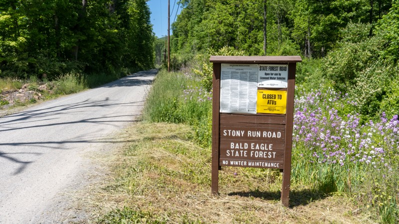
Stony Run Road is an easy gravel connecting road through the Bald Eagle State Forest. The road is 1.5 vehicles wide almost the entire length, with numerous pullout opportunities to pass oncoming traffic. The road is suitable for any vehicle, including passenger cars and RVs. The road follows the scenic Stony Run Creek, a small tributary of Penns Creek, past a small fishing lake, to the Pine Creek tributary. Stony Run offers camping at state campsite number 30, a large open site a few hundred feet from the main road. The campsite provides a steel fire ring and a picnic table. Camping permits and reservations are required for all State Forest Campsites and can be reserved online or by calling the State Forest Office. There is little to no cell service along the road. Making prior camping arrangements is highly recommended.
Red Gobbler Trail
Gettis Ridge Road
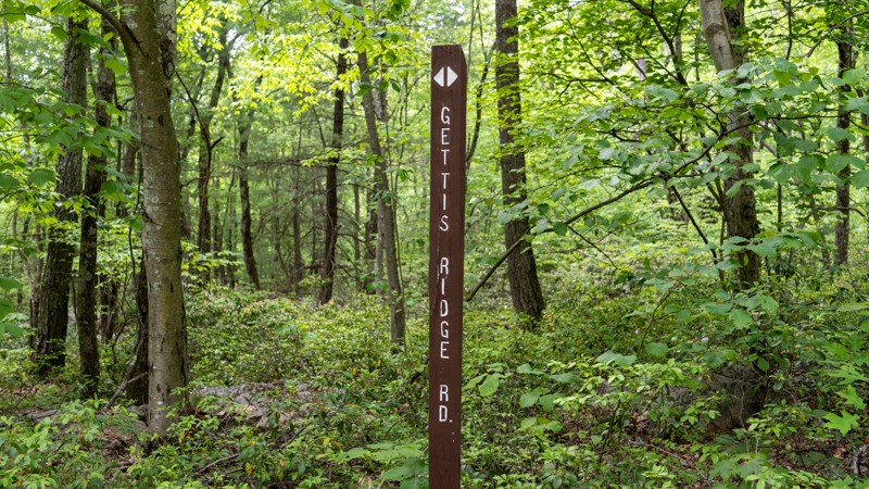
Gettis Ridge is a straight-through, rough, bumpy two-track road connecting Wampler Road to Beidleheimer Road. Users should be aware that although this shows up on maps as connecting to Keith Springs, there are gates keeping the section from Keith Springs to Wampler Road closed to motorized users. The road surface along Gettis Ridge is not well-traveled and consists of hard-packed dirt and small flat rocks the size of dinner plates. A few shallow mudholes are the only problems for your clean paint. Although this road is easy, the rough terrain is best suited for high clearance vehicles. Airing down is highly encouraged to smooth out the ride.
Lamonaville Road
41 - Anthracite Outdoor Adventure Area
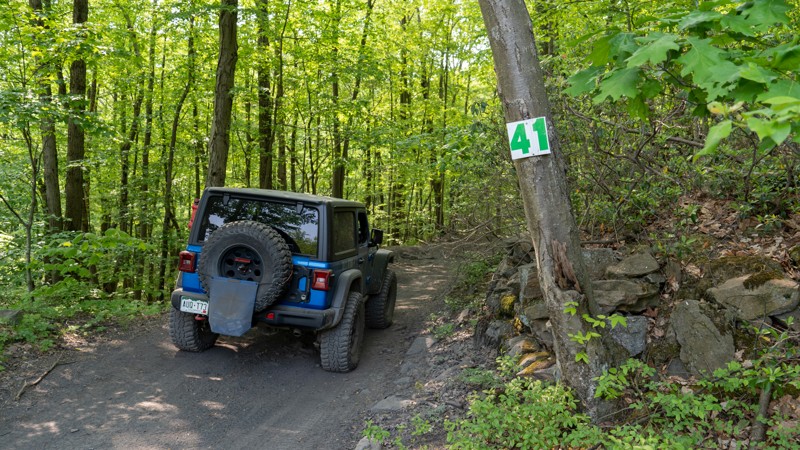
Trail 41 is a straight-through connector trail from East Anthracite Road to trail 17. 41 is in the Eastern Reserve of Anthracite Outdoor Adventure Area (AOAA). This trail is rough and bumpy but not technical. One mud hole halfway through the trail can be sticky at times but typically not that deep. The terrain is mainly packed dirt with protruding chunky rocks, flat in shape and the width of basketballs. Trail 41 is primarily used as an access trail to Barney Rubble, but it does pass by one of only two visible bat caves on the property. Look for the large black tube, just off the trail to the west, after passing trail 10.
This is an easy trail suitable for any high clearance vehicle.
Be sure to reference the AOAA website for accommodation links, days and hours of operation, waiver, and pass purchasing links.
Cooper Mill Road
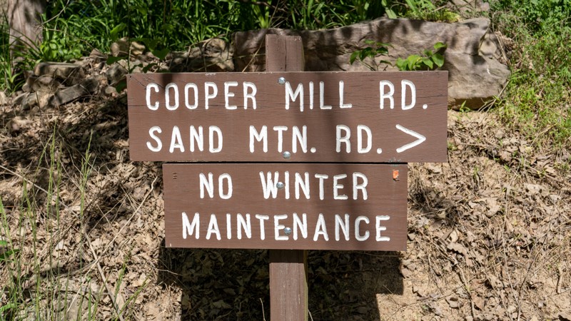
Cooper Mill Road is an easy, scenic, gravel connector road that travels north and south between Highway 192 and Interstate 80. You may encounter washboarding along the road, but the road is perfectly suitable for any vehicle. Cooper Mill Road has one scenic overlook on the north edge of Sand Mountain and several scenic bridge crossings, with great watering holes to get reprieve from the summer heat. This road passes numerous hiking trails and a few wildlife habitats, making it a great place to explore the Bald Eagle State Forest on foot. Camping can be found on the road's northern end at State Forest site number 9, a roadside campsite with a steel fire ring and a picnic table. Camping permits and reservations are required for all State Forest Campsites and can be reserved online or by calling the State Forest Office. There is little to no cell service along the road. Making prior camping arrangements is highly recommended.
100 - Anthracite Outdoor Adventure Area
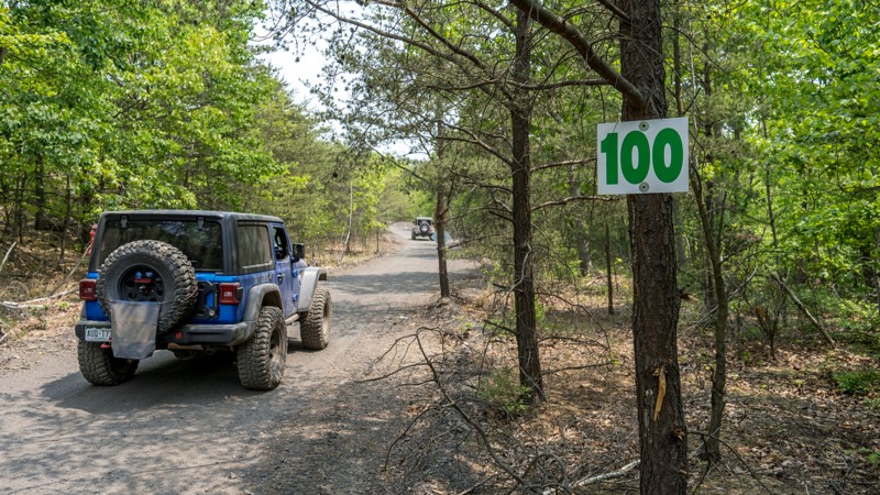
Trail 100 is a simple and short connector road between trails 115 and 101 in the Western Reserve of Anthracite Outdoor Adventure Area (AOAA). This trail offers no obstacles and traverses a well-maintained, hard-packed dirt road through thick tree cover. Several unique rock formations can be found along this trail. Trail 100 is primarily used as an entry and exit point to the Mammoth trail, avoiding the muddy sections of Puddle Road. This trail is suitable for any high clearance 4x4.
Be sure to reference the AOAA website for accommodation links, days and hours of operation, waiver, and pass purchasing links.
Rausch Creek Off Road Park: G and P Green
Bartley Gap
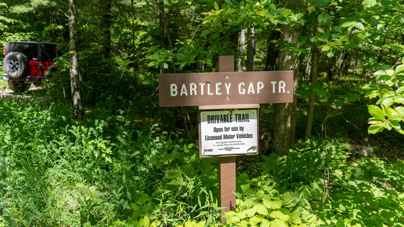
Bartley Gap is noted as a driveable trail within the Bald Eagle State Forest. This nearly 3/4-mile long trail traverses down an easy gravel two-track and dead-ends at a hunting camp and the start of the Bartley Gap Hiking trail. Vegetation in the middle of the two-track might present a problem to low-clearance cars, but otherwise, this trail is suitable for any vehicle with decent ground clearance.
Mile Run Road
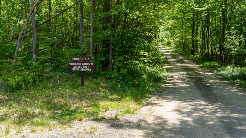
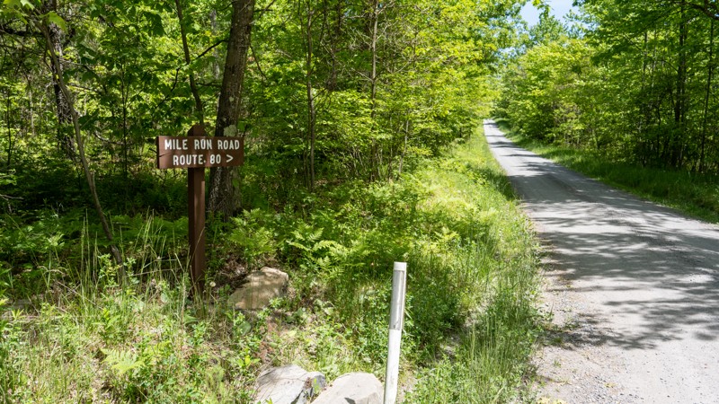
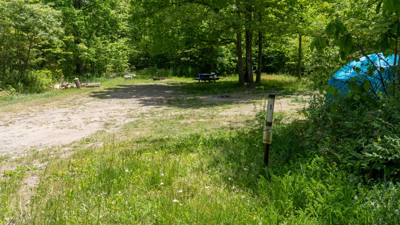
Mile Run Road is a straight-through gravel road, two vehicles wide, that passes two motorized campsites. The road offers no scenic views and is an easy, simple drive through the forest. This road is suitable for any vehicle, including RVs and trailers, and best fits those looking to camp. Campsite number 1 is located on the west end of the road near the intersection with Pine Flat Road. Campsite 1 is a good-sized site directly next to the road. It offers plenty of level ground for several vehicles and a few tents and has a steel fire ring and picnic table. Trailers would fit fine in the site but must be backed in. Campsite number 2 is located halfway through the road, on the north side of Little Mountain. This campsite is an absolute gem and one of the best sites within Bald Eagle State Forest. The site sits back off the road nearly a quarter mile and is a massive round-about site with tons of room for the biggest trailers or any sized group. A flat, gravel tent pad is provided, and plenty of grassy space. There is only one picnic table and a fire ring, but the ample space at this site is great for sprawling out. Camping permits and reservations are required for all State Forest Campsites and can be reserved online or by calling the State Forest Office. There is spotty cell service along this road. Making prior camping arrangements is highly recommended.
Pine Flat Road
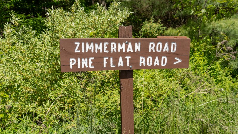
Pine Flat Road is an easy, hard-packed dirt and gravel connecting road primarily used to access Red Tongue Trail. The road is 1.5-2 vehicles wide with occasional potholes and small protruding rocks. The road crosses several active logging areas and offers one scenic lookout point. This road is suitable for any vehicle.
Flat Hollow
Sheesley Run Road
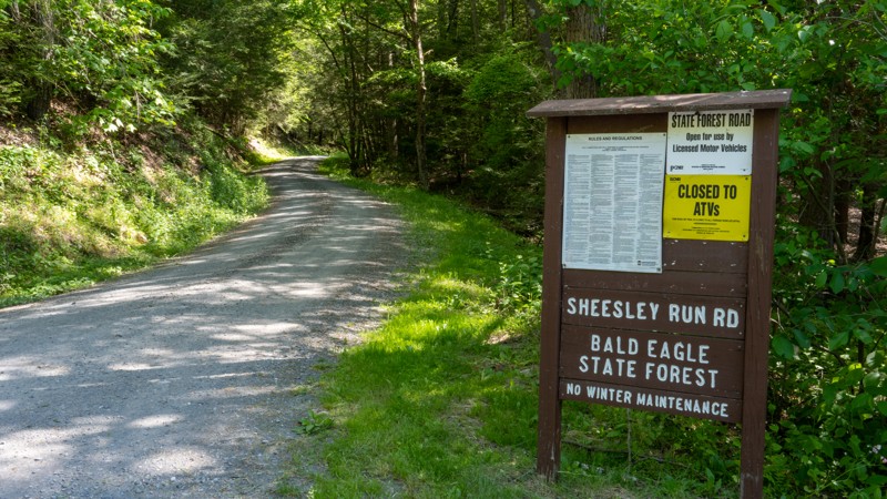
Traveling through Sheesley Hollow and along the creek, Sheesley Run Road is an easy, gravel connecting road within the Bald Eagle State Forest. The 2-mile-long road starts on the south end at Highway 45, just west of Hickernell Spring. It travels along the northern slope of Stitzer Mountain, passes a few hunting camps, and finishes on the north end at a 4-way intersection with Stony Run Road and Buffalo Flat Road. Sheesley Run Road is two vehicles wide, the entire length, and suitable for any vehicle. No camping exists along this road.
104 - Anthracite Outdoor Adventure Area
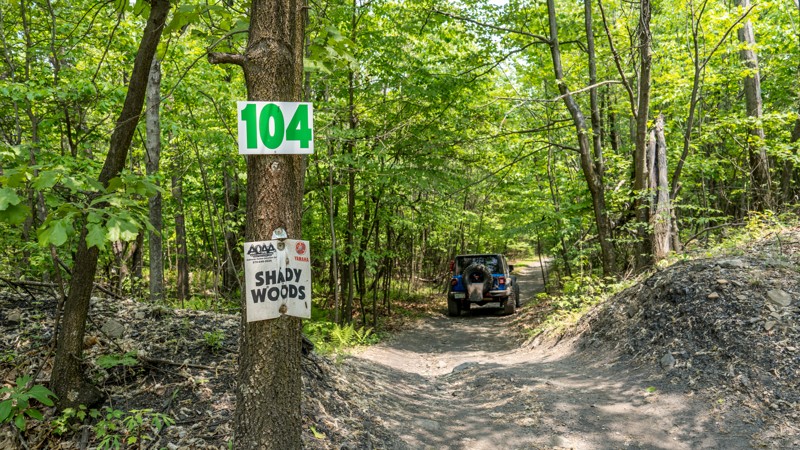
Trail 104, also known as Shady Woods, is a short spur road off of trail 101 in the Western Reserve of Anthracite Outdoor Adventure Area (AOAA). This trail offers no obstacles and traverses a single-wide, hard-packed dirt road through thick pine and hardwood forest. Although not difficult, there are a couple of shallow mud puddles and one spot where you must navigate between a few tight trees. Vehicles with wide, one-ton type axles might find this trail a bit too tight for their liking. This trail is best suited for narrow, high clearance vehicles.
Be sure to reference the AOAA website for accommodation links, days and hours of operation, waiver, and pass purchasing links.
Lake Barry - Anthracite Outdoor Adventure Area
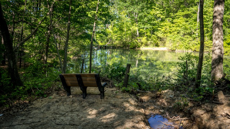
Lake Barry is a short dead-end trail in the Eastern Reserve of Anthracite Outdoor Adventure Area (AOAA). The trail is an easy drive and suitable for any vehicle. It begins about halfway down East Anthracite Road, traveling south for 300 yards across along hardpacked dirt with an occasional shallow mud hole and a few small and flat exposed rocks the size of softballs. The trail ends at a reclaimed, scenic lake with a couple of benches, a few picnic tables, and a wooden dock. There is enough room at the end to accommodate about ten vehicles. This is an excellent place to plan your lunch stop and take in the natural beauty in the middle of the AOAA park.
Be sure to reference the AOAA website for accommodation links, days and hours of operation, waiver, and pass purchasing links.
Buffalo Flat Road
Buffalo Flat Road is an easy, connecting road that offers a quiet drive through the thick vegetation of Bald Eagle State Forest. This gravel road is two vehicles wide, the entire length, and suitable for any vehicle. The road passes Hobo Vista, a large pullout offering scenic views past Bartley Mountain down into the towns of Laurelton, Hartleton, and Mifflinburg. Buffalo Flat Road offers great camping at State Forest site number 34, which pulls off the road a little way to a round-about site with a steel fire ring and a picnic table. Camping permits and reservations are required for all State Forest Campsites and can be reserved online or by calling the State Forest Office. There is little to no cell service along the road. Thus, making prior camping arrangements is highly recommended.
Old Tar Road
Old Tar Road is a quiet, remote, dead-ending two-track traveling a ridgeline between Shriner Mountain and Brush Mountain. The road takes you through dense, heavily wooded, and shadowy forest, where pinstriping of your paint is almost guaranteed. The road surface contains countless, never-ending potholes that will leave your back screaming for the aspirin. There are several shallow but sticky seasonal mud holes to be cautious of along the trek. 4WD is recommended but not a necessity for this trail. The dense forest provides no views and very few opportunities to turn around. The trail comes to an end at a stone wall, where it then becomes a non-motorized trail.
Garden Hollow Road
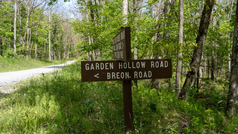
Garden Hollow Road is a simple, easy gravel connector road that cuts through the Bald Eagle State Forest. The road is a broad, single-lane with plenty of room to pull over for oncoming traffic. This road is suitable for any vehicle. Garden Hollow connects Duncan Trail and White Deer Creek, passing one state forest campsite.
Campsite number 10 is slightly smaller than other nearby campsites and is located directly in front of the access to the Duncan Trail. The site has a steel fire ring and a picnic table and is best suited for a single vehicle and a ground tent. Trailers would find it hard to maneuver into the site and keep from blocking access to Duncan Trail. Camping permits and reservations are required for all State Forest Campsites and can be reserved online or by calling the State Forest Office. There is little to no cell service along this road. Making prior camping arrangements is highly recommended.
28 - Anthracite Outdoor Adventure Area
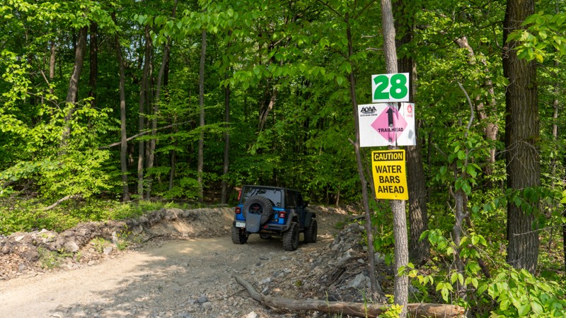
Trail 28 is an easy, straight-through connecting trail that cuts through the three bench levels of the Eastern Reserve of Anthracite Outdoor Adventure Area (AOAA). Trail 28 is a short, steep little hill pitching to 18 degrees as you make your way south to north from trail 36 to East Anthracite Road. The trail is two-way and plenty wide to pass oncoming traffic with excellent visibility. The road surface is hard-packed dirt with small, loose, golf ball and baseball-sided rocks. This trail is suitable for any high clearance 4x4.
Be sure to reference the AOAA website for accommodation links, days and hours of operation, waiver, and pass purchasing links.
Running Gap Road
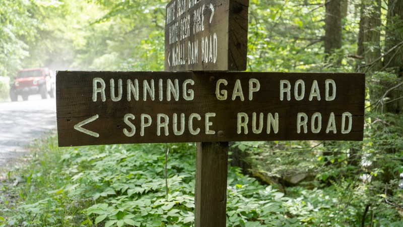
Running Gap Road is a hard-packed dirt road that travels through old mature forests with large trees and descends sharply through a natural terrain gap between Naked Mountain and Nittany Mountain. The road is generally 1.5 vehicles wide, with plenty of opportunities to pass oncoming traffic. Running Gap descends 471 feet in 1.5 miles, necessitating numerous water bars. These large water bars protect the road from erosion and ensure drivers control their speed. Trucks towing trailers might find the water bars and steep grades challenging, but this road is suitable for any vehicle. The road is generally used as a connecting road between White Deer Creek and Spruce Run Road. There are no motorized campsites along the road. However, there is one primitive backpacking campsite that can be seen from the road. This campsite requires users to hike into and does not require a permit if only used for a single night. Users must remember that backpacking campsites cannot be within 200 feet of a forest road.
Brandon Road
Brandon Road is a short, easy connector road between Jones Mountain and Old Shingle Road. The road is entirely gravel and 1.5-2 vehicles wide. The road offers a fantastic scenic pullout that overlooks Mifflinburg. In the colder months, when the leaves have fallen from the trees, you can anticipate views all the way to Lewisburg. The road traverses over the North Fork Buffalo Creek, which is a fantastic place to stop and take in the natural beauty of the Bald Eagle State Forest or relax and cool off with a quick dip in the slow-moving water. This road is suitable for any vehicle.

Unlock all of the details on every Trail Guide and Scout Route.
Start a 7-day Free Trial


