
Toquerville Falls (94.38 miles away)
Toquerville, Utah
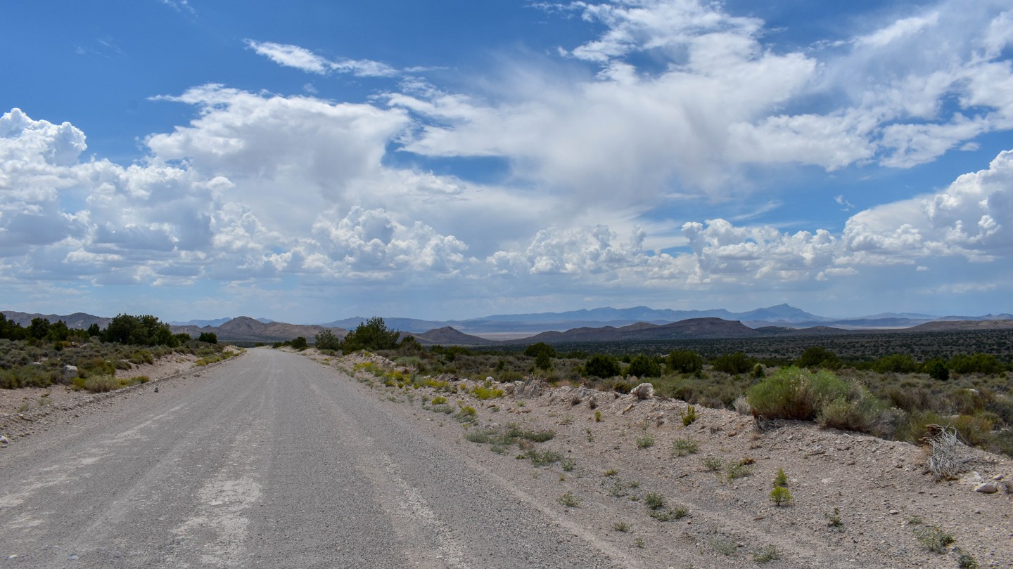

Bristol Wells Rd is an easy graded dirt road winding through classic Great Basin high-desert scenery of open pinyon-juniper woodlands—dominated by singleleaf pinyon pine and Utah juniper—dotted with sagebrush and seasonal golden rabbitbrush. It offers quiet views across alluvial slopes toward the rugged Bristol Range, Cave Valley, and the Silver State Trail Network, with frequent opportunities to spot wild horses, jackrabbits, or eagles in this remote landscape.
The trail reaches the Bristol Wells ghost town (also known historically as National City, Bristol City, and Tempest), a key 19th-century mining camp and smelter hub. Claims were first staked in 1870, and the district was organized the following year around the National Mine. A furnace was built in 1872 to process silver-lead ore from the Bristol Mine four miles east; richer discoveries in 1878 prompted a stamp mill and the town’s renaming. By 1880, the mill had expanded alongside a smelter fueled by distinctive beehive charcoal kilns built of local stone that converted surrounding pinyon and juniper wood into charcoal, while the site’s wells supplied water to the mines. The population peaked near 400 around 1890 with a new copper smelter, before declining after 1893. A brief copper leach plant operated around 1900, and an aerial tramway later linked the site to Jackrabbit. Listed on the National Register of Historic Places in 1972, the site today preserves striking remnants, including black slag terraces, stone building ruins, a small cemetery, and three largely intact charcoal kilns.

