
Toquerville Falls (139.5 miles away)
Toquerville, Utah
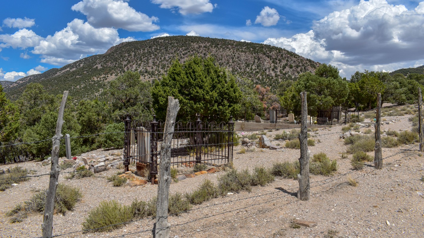

Osceola Road is a dirt road with exposed rock and occasional brutal washboard. The road runs past the Osceola Cemetery, which is open to the public, and through the Osceola townsite (private property, viewable only from the road) before reaching Sacramento Pass Recreation Area at the north end. It travels through high-desert terrain of sagebrush and pinyon-juniper woodlands, with great views of Spring Valley and the Spring Valley Wind Farm, plus old headframes and ore bins along the mountainsides, and clear evidence of the large amount of dirt removed from Grub Gulch by the hydraulic mining methods of the time. Mining continues in this area today. Please do your research to find open ground if coming out to prospect, as most of the ground is claimed or patented private property.
No established campsites along the road, with sparse pull-offs and limited opportunities for small or solo groups along various spur trails in the junipers and pines (trails often overgrown). Parts of the road cross private property where camping is not allowed. Sacramento Pass Recreation Area has several spots with shade and picnic tables on relatively flat improved surfaces for tent camping, a large group site with shade and table, equestrian sites further from the highway in the juniper trees, a stocked pond for fishing, and a vault toilet.

