Most Popular

Search for Trails
South Carolina: Horse Pasture Road Hero Photo
All-Access Preview Icon
4.5/5 (27 reviews)
Updated: 03/23/2024
Horse Pasture Road
Open
/
Pickens, South Carolina/
11.68 miles/
About 2 hours
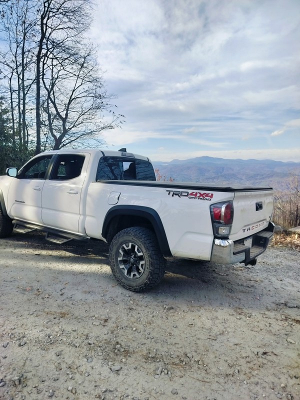
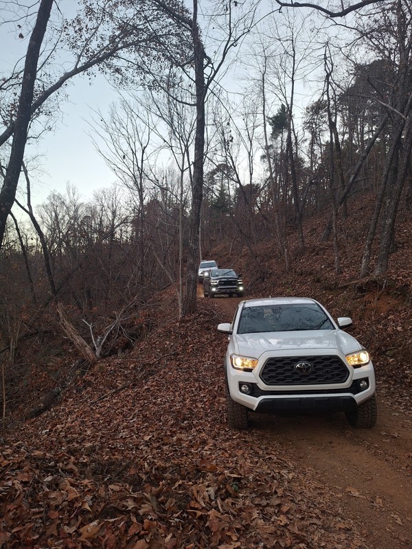
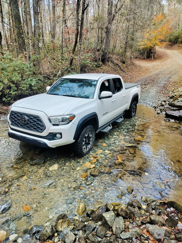
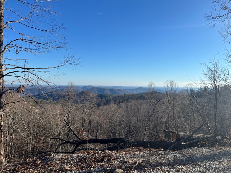
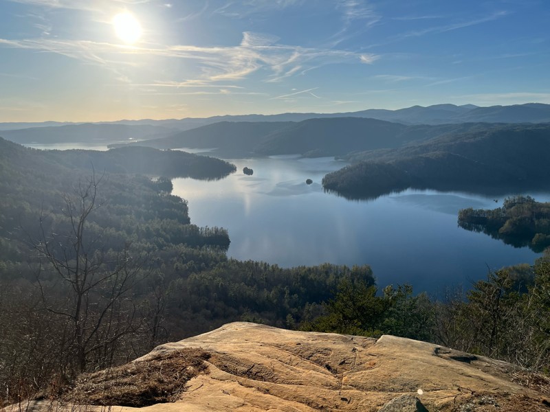
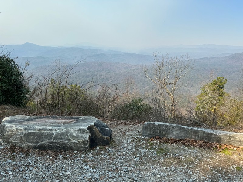
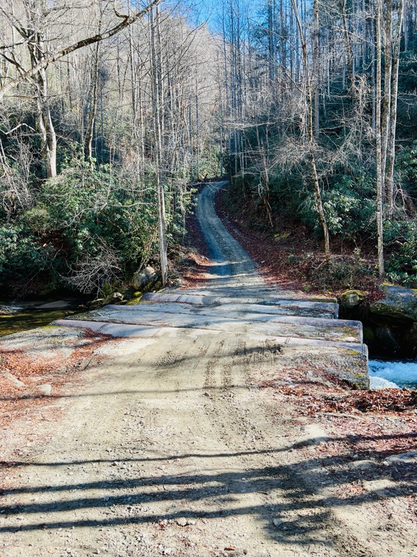
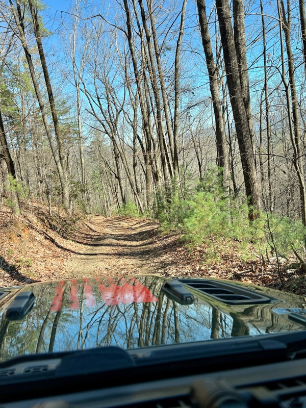
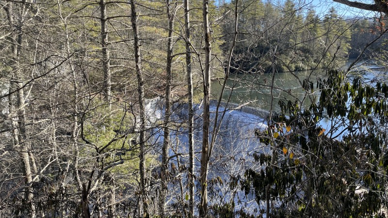
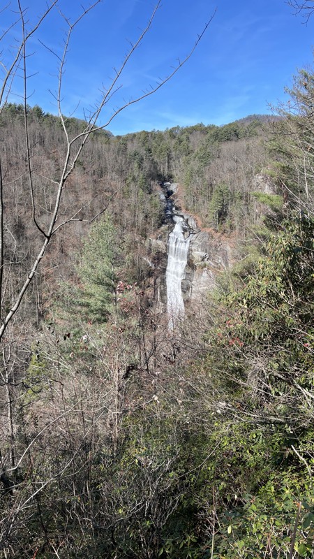
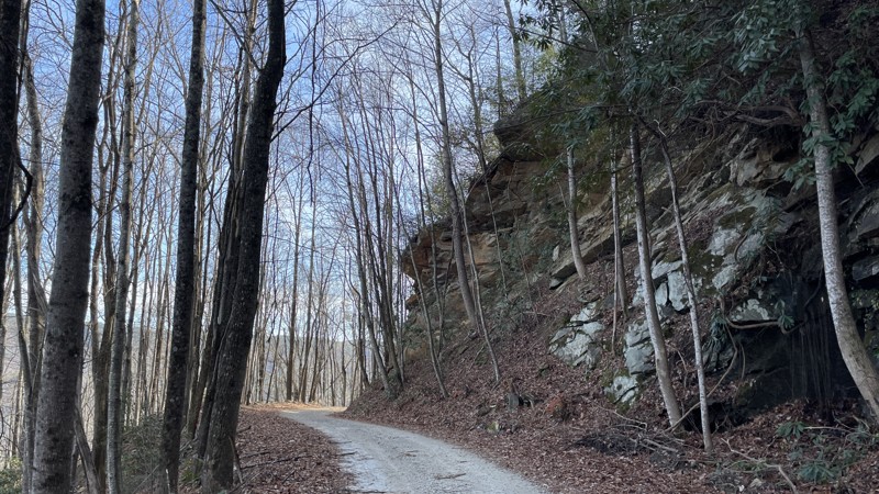
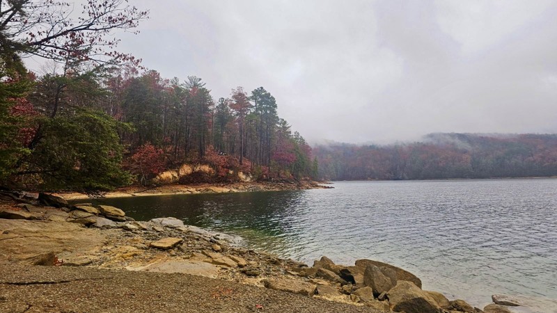
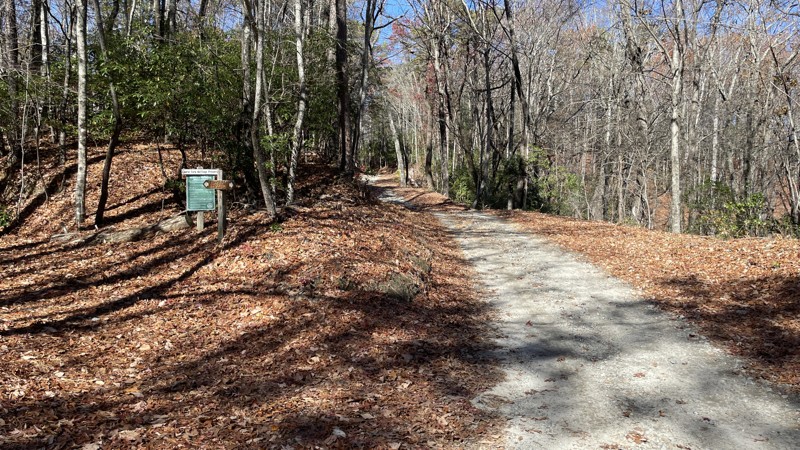
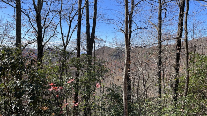
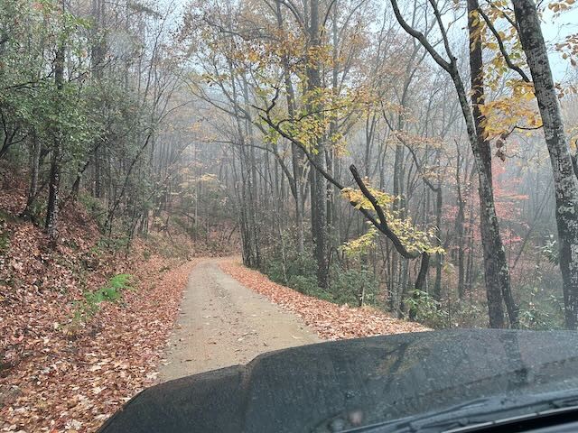
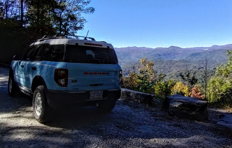
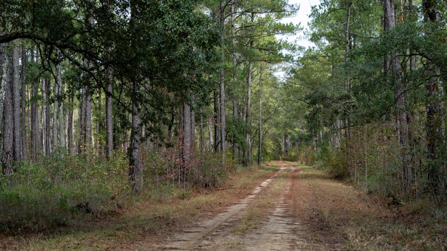
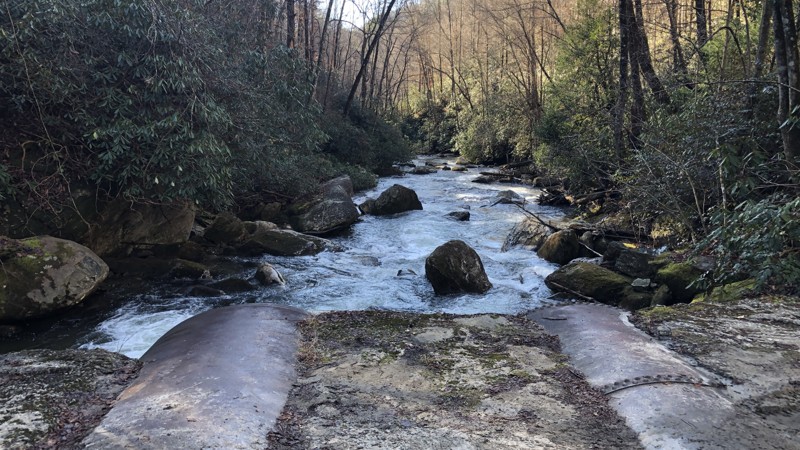
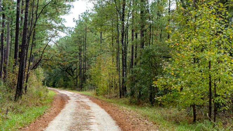
Horse Pasture Road is the eastern entrance of the Jim Timmerman Natural Resources Area at Jocassee Gorges, one of the only temperate rain forests in the United States east of the Cascade Mountains. Incredible views overlooking the valleys and clear waters of Lake Jocassee, Horse Pasture Road offers many activities including hunting, camping, bird watching and botanical areas with many hard-to-find species. With access to Jumping-Off Rock, one of the best views in the entire region, and its multiple access points to the 77 mile long Foothills Hiking Trail, Horse Pasture Road is a great trail for a day of activities or just a nice ride though the forest and mountains.
South Carolina: Gulches ORV Park: Trail 1 Hero Photo
All-Access Preview Icon
4/5 (3 reviews)
Updated: 10/14/2023
Gulches ORV Park: Trail 1
Open
/
Laurens, South Carolina/
0.46 miles/
About 15 minutes
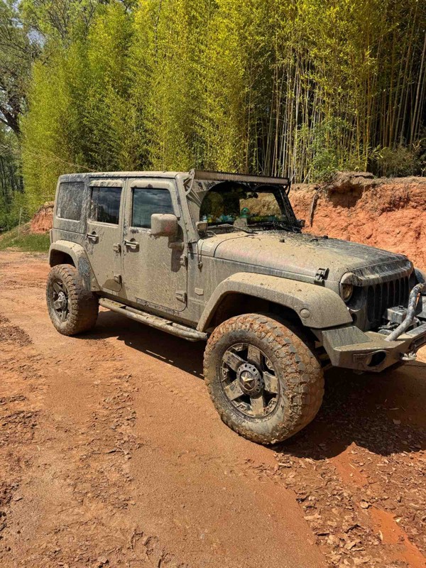
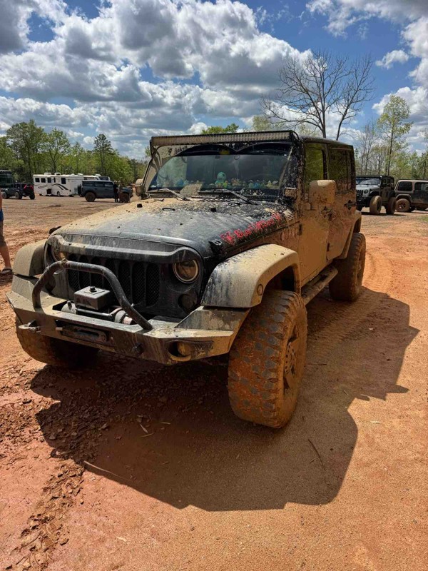
Looking to bag all of the Jeep Badge of Honor trails but don't have quite the rig for the gnarly trails or, as Gulches would say the "absolutely stupid" trails? If so, look no further than Trail 1. This "green" trail is part of the easiest loop in the park, giving you a tour of what the park has to offer. Trail 1 meanders down through the lush forest towards the back of the park and the Reedy River. Along the way, you will find a few easier obstacles to test your rig with the opportunity to go absolutely wild. The vibrant red mud on this trail contrasts nicely with the surrounding vegetation, which changes from bright green to deep orange and red colors during the Autumn months. Combine this with River Road and Trail 14 for a nice, easy loop within the park.
South Carolina: Shooting Tree Ridge Road Hero Photo
All-Access Icon
4.3/5 (12 reviews)
Updated: 01/16/2024
Shooting Tree Ridge Road
Pickens, South Carolina
Shooting Tree Ridge Road is the southern entrance of the Jim Timmerman Natural Resources Area at Jocassee Gorges, one of the only temperate rain forests in the United States east of the Cascade Mountains. This curvy, scenic drive follows up/down Bully Mountain and connects to the ever popular Horse Pasture Road with access to Jumping-Off Rock, one of the best views in the entire region. Hiking, camping, hunting or just a scenic ride through the forest and mountains make this a fun trail to explore whenever your in the area.
South Carolina: Little Longnose Road Hero Photo
All-Access Icon
2.5/5 (5 reviews)
Updated: 05/14/2023
Little Longnose Road
Long Creek, South Carolina
Just outside Long Creek, South Carolina lies Little Longnose Road. Situated inside the Sumter National Forest just east of Lakes Yonah and Tugalo, this trail is right in the heart of some of the best waterfall hunting in the region. Filled with the sights and sounds of nature the entire way, this scenic mountain ride will make you forget your only 30 miles from the busy Clemson University. So if your out waterfall hunting or just looking for a beautiful scenic drive, check out Little Longnose Road.
South Carolina: Musterground Road Hero Photo
Scout Route Icon
4.5/5 (3 reviews)
Updated: 12/30/2024
Musterground Road
Whitewater Pines, South Carolina

Musterground Road is a seasonal road in the northern section of the Jocassee Gorges in Upstate South Carolina. It's open from September 15 through January 2, then again from March 20 through April, roughly following the state hunting seasons. The trail offers views of Lake Jocassee that are unique to this route, as there is no other road system to explore the area. The views are sometimes spectacular and daunting at others, spanning the gamut from wide, open vistas to closed, vertical walls.

The trail conditions vary, but it is generally well-maintained, consisting of mostly graded dirt with gravel. Many steep climbs, a signature feature of the gorges, can suffer from wash-outs. These can be rutted and littered with small boulders/large rocks that can make traction a challenge with street tires. This trail is recommended for 4WD vehicles. Wet conditions would warrant more aggressive tread. 2WD vehicles would have difficulty climbing the loose, steep sections, likely damaging the trail.

Musterground Road is the spine and main thoroughfare through the Musterground Mountain area. Still, several other trails branch off and offer access to additional views and hiking/hunting. By the map, there is a connection to Auger Hole Road in Gorges State Park in NC. However, Musterground Road ends at a locked gate.

Camping is allowed in established primitive campsites. The sites are marked by green signage to the side of the trail and offer privacy from the main trail.


South Carolina: Gulches ORV Park: River Road Hero Photo
All-Access Preview Icon
3.5/5 (4 reviews)
Updated: 04/20/2024
Gulches ORV Park: River Road
Open
/
Laurens, South Carolina/
0.6 miles/
About 20 minutes
Looking to bag all of the Jeep Badge of Honor trails but don't have quite the rig for the gnarly trails or, as Gulches would say, the "absolutely stupid" trails? Once you have completed Trail 1, River Road will be your next stop along the "easy" tour of The Gulches. Along the way, you will encounter a few different obstacles and lines that will add quite a bit of excitement to your day. Most importantly, you will get a first-hand view of the trails The Gulches is famous for, which are the "more difficult" and "most difficult" trails. Since River Road is down at the lowest elevation in the entire park, prepare for wet conditions and mud bogs, which are notorious for swallowing vehicles. Tack on Trail 14 for a nice, easy loop within the park.
South Carolina: Gulches ORV Park: Palmetto Krawler Hero Photo
All-Access Preview Icon
4/5 (3 reviews)
Updated: 04/20/2024
Gulches ORV Park: Palmetto Krawler
Open
/
Laurens, South Carolina/
0.35 miles/
About 20 minutes
Looking to bag all of the Jeep Badge of Honor trails but don't have quite the rig for the gnarly trails or, as Gulches would say, the "absolutely stupid" trails? If you felt ok doing the green trails at The Gulches and want to step it up to the next level, make sure to put Palmetto Krawler on your shortlist. This trail will offer quite a bit of excitement with steep climbs, tight trees, and off-camber descents. The rutted-out trenches will require your focus and possibly some extra skinny pedal, especially if the trail is wet. If you find this trail easy, maybe it's time to conquer the hard, harder, and insanely hard trails The Gulches are notorious for. The opportunities for adrenaline are endless!
South Carolina: Gulches ORV Park: Arrowhead Alley Hero Photo
All-Access Preview Icon
4/5 (4 reviews)
Updated: 04/20/2024
Gulches ORV Park: Arrowhead Alley
Open
/
Laurens, South Carolina/
0.15 miles/
About 5 minutes
Looking to bag all of the Jeep Badge of Honor trails but don't have quite the rig for the gnarly trails or, as Gulches would say the "absolutely stupid" trails? Arrowhead Alley is a great trail to get started on at this ORV park. With enough challenge to keep it interesting, this trail will take you down to the lowest part of the park, down by the river. Due to the steepness of this trail and the amount of precipitation this area gets, the ravines caused by erosion will offer a stock rig good chances to flex out a bit. Arrowhead Alley's surface can change for this reason, and it is a great option to try a bit of a harder trail in this park after graduating from the green trails.
South Carolina: Gulches ORV Park: Trail 14 Hero Photo
All-Access Preview Icon
4/5 (3 reviews)
Updated: 10/14/2023
Gulches ORV Park: Trail 14
Open
/
Laurens, South Carolina/
0.29 miles/
About 15 minutes
Looking to bag all of the Jeep Badge of Honor trails but don't have quite the rig for the gnarly trails or, as Gulches would say the "absolutely stupid" trails? Once you have completed Trail 1 and River Road, Trail 14 will be your last stop along the "easy" tour of The Gulches. This trail will connect a few other trails in the park, but you will mostly find yourself in a tunnel of vegetation until you reach either end of the trail. A few ravines caused by erosion will offer a few flexy sections to test your rig.
South Carolina: Mill Branch Hero Photo
Scout Route Icon
3/5 (1 reviews)
Updated: 10/15/2024
Mill Branch
McClellanville, South Carolina
Mill Branch is a good road to travel from the southwest portion of the forest to the northeast, where it terminates at the Elmwood Recreation Area seasonal campground and close to the historic Hampton Plantation. An easy road, even in wet weather, the trail provides views of the coastal forest. Elmwood Recreation Area is the nearest camping.
South Carolina: Old Georgetown Road Hero Photo
Scout Route Icon
4/5 (1 reviews)
Updated: 10/15/2024
Old Georgetown Road
McClellanville, South Carolina
Old Georgetown Road travels through a mix of public land and private land. The real beauty is the gentrified sections through the residential area in the middle, with quaint landscapes full of southern charm. The road surface is soft sand, and you can get bogged down in very wet weather. All-wheel drive would be helpful in such conditions.
South Carolina: Victor Lincoln Road Hero Photo
Scout Route Icon
4/5 (1 reviews)
Updated: 10/15/2024
Victor Lincoln Road
Shulerville, South Carolina
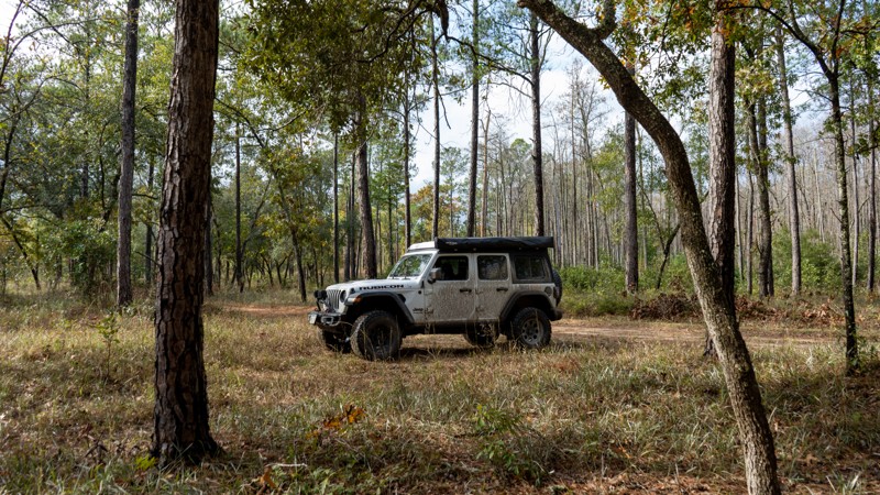
Victor Lincoln Road is a convenient road to use when visiting the Francis Marion National Forest. While a portion of the road travels through private property and residences, much of it intersects the Caffey Swamp and the Wambaw Swamp Wilderness. A perfect road for the curious mind interested in swamp flora and fauna. The road is mostly sandy, and in extreme wet weather, you can bog down into the sand. Four-wheel drive would be recommended in that situation. Motorized dispersed camping is not permitted within the National Forest.
South Carolina: Bootleg Road Hero Photo
Scout Route Icon
5/5 (4 reviews)
Updated: 11/04/2024
Bootleg Road
Salem, South Carolina

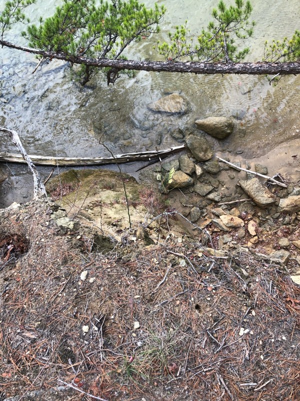
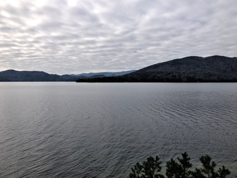
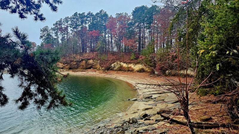
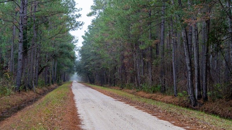
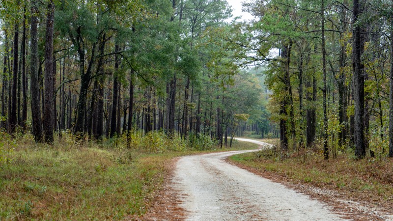
Bootleg Road near Lake Jocassee in South Carolina winds through enchanting landscapes of lush greenery and serene lake views. The trail's end rewards you with beautiful views along the shoreline of Lake Jocassee. There are plenty of places to sit by the water and enjoy lunch. You can get down to the lake shore in several spots.

The well-maintained Bootleg Road spurs off Horse Pasture Road. The trail descends approximately 300 feet on its way to the lake. Bootleg Road is open seasonally from September 15th to January 15th and March 20th to May 20th.


South Carolina: Echaw Hero Photo
Scout Route Icon
3/5 (1 reviews)
Updated: 10/15/2024
Echaw
North Santee, South Carolina
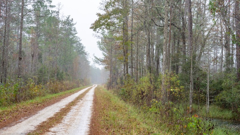
The Francis Marion National Forest is named after Francis Marion, the Swamp Fox, who adopted fighting techniques used by the Cherokee Indians to attack British soldiers and supply lines during the Revolutionary War. In 1989, hurricane Hugo leveled the forest; today, smaller pines and cypress stand along the roads and swamps. Echaw is a mixed gravel and sand road that gives you views of prescribed burn areas and connects to several other roads. Many of the side roads are closed, so watch the signage closely. Dispersed motorized camping is not allowed within the forest, but the Honey Hill Recreation Area Campground is near the western end of this road.
South Carolina: Cherokee Road 710 Hero Photo
Scout Route Icon
4/5 (3 reviews)
Updated: 10/15/2024
Cherokee Road 710
Tamassee, South Carolina

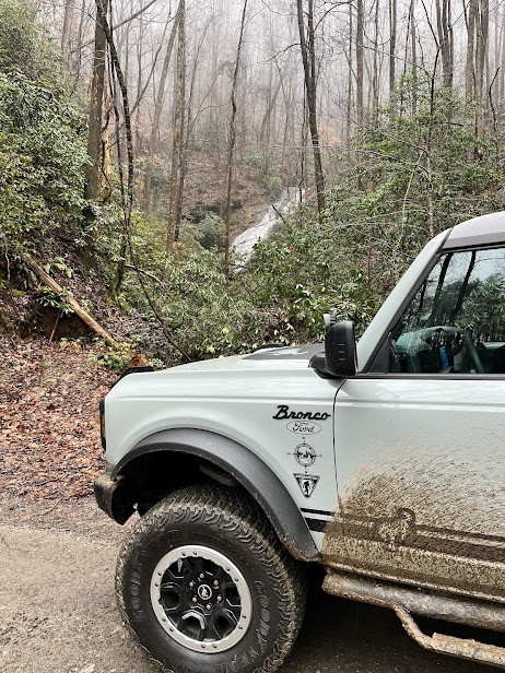
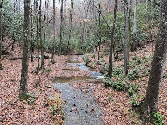
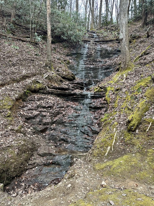
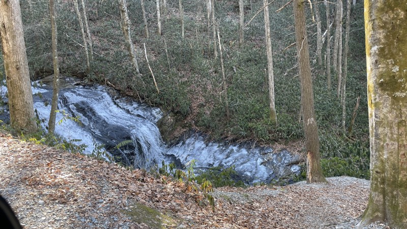
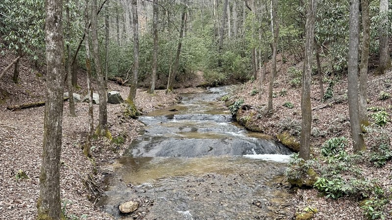
Cherokee Road is a scenic trail with beautiful spots to camp. Located in the Sumter National Forest, Cherokee Road is an excellent stop for a night of camping along a running stream or if you just want an easy trail to run with sights to see along the way. After a rain, the Cherokee Road waterfall will flow. It's a roadside fall, so no hiking is required. Just pull off to the side of the road and take a moment to enjoy the view. If it's been dry, this fall is known to slow quite a bit. The road also accesses the Foothill Trails if you want to stretch your legs for a bit.

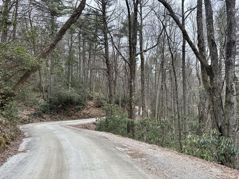
This well-maintained graded road won't provide any technical difficulty.


South Carolina: Cascade Lake Road Hero Photo
Scout Route Icon
4/5 (1 reviews)
Updated: 10/15/2024
Cascade Lake Road
Little River, South Carolina

Cascade Lake Road is a dirt road that once was an access point to the now-defunct and gated Cascade Power Station. It parallels Cascade Lake and offers views of several waterfalls and the impressive Cascade Lake Dam. The road surface is flat, with the occasional smooth rock coming through. It's no problem for any vehicle. In wet conditions, AWD or 4WD is recommended. No camping or hiking access exists, so the road serves purely as a drive-through. Cascade Lake Road is a great addition to a visit to the nearby DuPont State Recreation Forest.

The road is open to the public year-round, but the property it runs through is currently (01/2024) in litigation to determine whether it will remain public or be closed. Check this one out because it may not be there in the future.

South Carolina: Canebrake Road Hero Photo
Scout Route Icon
5/5 (2 reviews)
Updated: 07/01/2025
Canebrake Road
Rocky Bottom, South Carolina

Canebrake Road is an easy 1 to 1.5-lane trail that runs through the Laurel Fork Heritage Preserve within the Jim Timmerman Natural Resources Area in Jocassee Gorges. Canebrake Road is open to vehicle traffic only during the legal hunting season, roughly the first weekend in September through the end of January.

The trail offers scenic forest views and access to several hiking trails and hunting grounds. It's less traveled than the popular and often crowded Horse Pasture Road. Combine Canebrake with Jackie's Ridge and Dawkin's Flat to rejoin Horse Pasture Road just east of Jumping Off Rock. High clearance 2WD is required, with 4WD recommended.

Canebrake Road doesn't have any designated campsites. However, the nearby Foothills Trail does have designated campsites.

South Carolina: Honey Hill West and Thompson Branch Hero Photo
Scout Route Icon
5/5 (1 reviews)
Updated: 10/15/2024
Honey Hill West and Thompson Branch
Shulerville, South Carolina
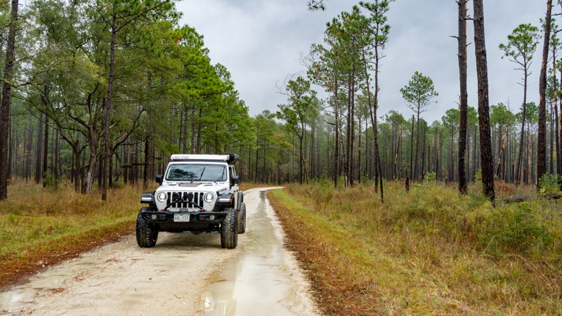
Honey Hill West and Thompson Branch are two different road names, but they are joined as one. This route takes you through lush pine, with pine needles even making up a portion of the road surface. The west end is near the Coffee Creek Swamp, a perfect spot to pull over and have lunch or even lounge around for a while. These two roads will tease you and make you want to disperse camp, but dispersed motorized camping is prohibited in the forest. However, at the east end, Honey Hill West Recreation Area has several designated campsites.
South Carolina: Palmer Bridge Road Hero Photo
Scout Route Icon
2/5 (1 reviews)
Updated: 10/15/2024
Palmer Bridge Road
McClellanville, South Carolina
Palmer Bridge Road connects to roads within the Francis Marion National Forest, providing a gateway to other adventures. It travels through public and private land. Dispersed motorized camping is not allowed within the forest.
South Carolina: McConnell Landing Hero Photo
Scout Route Icon
2/5 (1 reviews)
Updated: 10/15/2024
McConnell Landing
Shulerville, South Carolina
McConnell Landing is a short out-and-back that ends at the edge of the Santee River and a boat launch. At the end, there is plenty of room for a good leg stretch break and perhaps a snack. In addition, you can get up close to marshland and see the interesting tree formations that grow there.
South Carolina: Echaw B Hero Photo
Scout Route Icon
3/5 (1 reviews)
Updated: 10/15/2024
Echaw B
North Santee, South Carolina
Echaw B is a two-track leading into the dense coastal forest. It dead-ends at the Chicken Creek Canoe Trail, which is a good spot for a lunch break. Deeper puddles may exist during times of rain. While the end of this road is perfect for dispersed camping, you cant. Dispersed motorized camping is not allowed within this part of the Francis Marion National Forest.