


By clicking "ACCEPT", you agree to be the terms and conditions of each policy linked to above. You also agree to the storing of cookies on your device to facilitate the operation and functionality of our site, enhance and customize your user experience, and to analyze how our site is used.
Idaho Off-Road Trails
63
Total Trail Guides 60

644
Detailed Waypoints 293
Try a Free 7-Day Trial and unlock it all
Start a Free Trial Most Recent Trail Reviews
No Rating
Open
Visited: 07/24/2026
Difficulty was spot on. Beautiful views and plenty of camping.

Kevin Flynn
Rated 5/5
Open
Visited: 07/24/2026
Pole creek trail is open all the way to the top. We made a full on the trail today. Starting down in the valley below, you quiickly climb in elevation. Lots of traffic on the trail, so keep an eye ...

Bill
Rated 3/5
Open
Visited: 07/23/2026
This is a very easy, but scenic trail. We started in Ketchum and ran it through to Featerville. Fair weater made for great conditions. Mostly a forrest service road with no real challenges. Severa...
Bill
Rated 4/5
Partially Open
Visited: 07/23/2026
This trail is currently only partially open. We started from the valley floor and were quickly winding our way up through groves of aspen trees. Recent rains had plenty of water flowing down the cre...
Bill

Todd
Official Crew
Rated 5/5
Open
Visited: 07/18/2026
Made it over the pass pulling a 6X10 trailer, have to keep an eye out for incoming traffic, road is narrow at some spots.
FF
Fidel Fernandez
Rated 4/5
Open
Visited: 07/16/2026
A fun trail down to the water. No issues on 32" tires with a 138" wheelbase. This trail does not get a ton of use, so follow the track. I followed the more "beaten path," which was not the actual trac...

John
Official Crew
Rated 5/5
Open
Visited: 07/14/2026
Had to clear a few dead trees that were too low for the camper and moved one small boulder. A smaller vehicle would have no problems. The views were great!
Nick
Nick
Rated 5/5
Open
Visited: 07/07/2026
I wanted a campsite with an incredible view of the Sawtooth Range while still being close enough to Highway 21 and Stanley for supplies and cell service, and this spot checked every box. I spent a wee...

Rose Meirs
Official Crew
Rated 4/5
Open
Visited: 07/06/2026
Do not go stock! This needs a 2.5-3” lift. My gladiator couldn’t get much further than lollipop junction. Which up until that point I’d say the trail is a solid 1-2. The difficulty is after the juncti...
KA
Kate Armon
Ryan Boudreau
Official Crew
Rated 4/5
Open
Visited: 07/01/2026
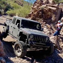
We did this trail with Valley Jeepsters Club out of Phoenix while on our annual BoH hunt around the country. This trail is rated 6 to 9 and for good reasons. Pictures and videos don't really capture ...
Russ TGN
Rated 5/5
Open
Visited: 06/29/2026
I spent a week camping here and absolutely loved falling asleep to the sound of Basin Creek rushing just outside my campsite. Even during the busy Fourth of July holiday, the area remained surprisingl...
Rose Meirs
Official Crew
No Rating
Partially Open
Visited: 06/26/2026
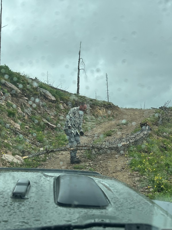
Made it to the fire lookout, and past the lookout to the junction, for the bypass, , after clearing tons of trees. Went past the bypass and cut more downed trees, too many trees down and decided to t...
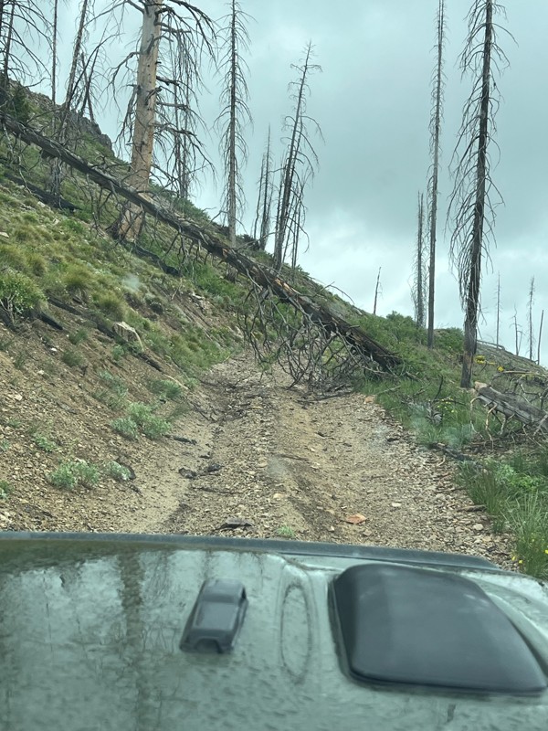
MG
Matthew Greene
No Rating
Open
Visited: 06/26/2026
According to Agency date data, this trail should be open for the season.

Trails Offroad
No Rating
Open
Visited: 06/26/2026
According to Agency date data, this trail should be open for the season.
Trails Offroad
No Rating
Open
Visited: 06/26/2026
According to Agency date data, this trail should be open for the season.
Trails Offroad
Rated 4/5
Open
Visited: 06/25/2026
Nice trail. Never saw another soul on the trail. Would be easy to get lost without the app. Definitely easier on 37’s
JD
Jeff Dobie
Rated 3/5
Partially Open
Visited: 06/24/2026
We only made it to just below feltham peak. Huge amount of blown down trees. Going to take a while to clear it out. Hard to rate it because it was only partially open
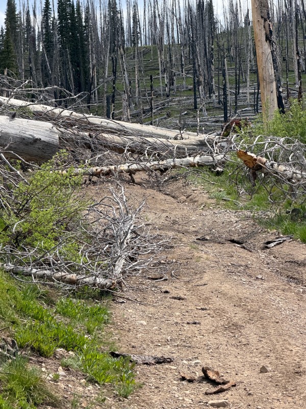
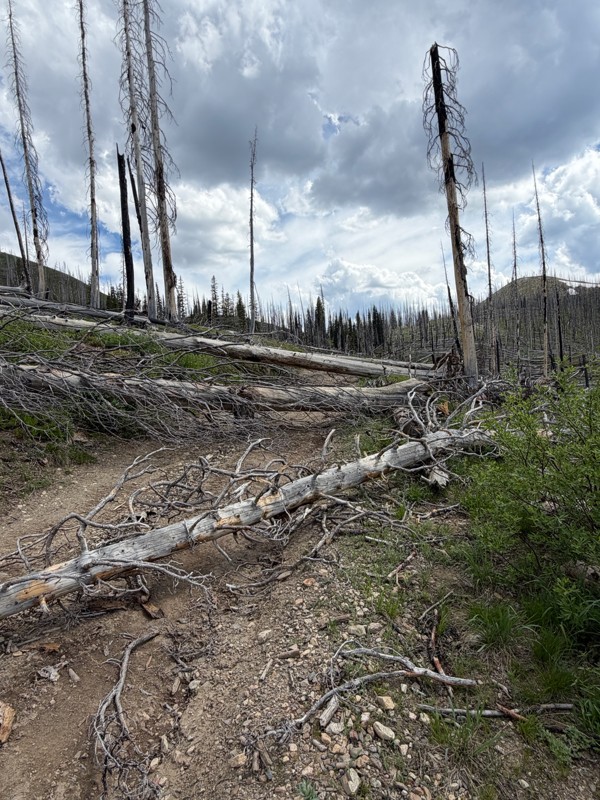
JD
Jeff Dobie
Rated 1/5
Open
Visited: 06/22/2026
Lots of pinstriping and scratches just to get to a cow pasture.
Richard Goins
Rated 5/5
Open
Visited: 06/19/2026
I hit this trail from North to South, coming in on Bunco-High Drive. It’s a highly-trafficked road once you get down to the river (to be expected…)
There are so many camp sites along the road that I...
Lorraine Bourget
Official Crew
Rated 4/5
Open
Visited: 06/17/2026
busy road on a Friday and super dusty. nothing technical basically gravel road but scenery was 👌 and some fantastic camp spots at numerous pull outs by some of the lakes/water.
Brian R
No Rating
Open
Visited: 06/17/2026
one of our favorite trails that we do every year on our annual trip to Island Park. Nice wide road, handles 2 way traffic without a problem. played is some snow drifts still hanging around near the to...
RB
Rick Barlow
No Rating
Open
Visited: 06/17/2026
beautiful falls, 4 wheel not needed. a few wash board areas. worth the time.
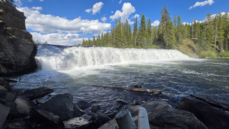
RB
Rick Barlow
Rated 5/5
Open
Visited: 06/15/2026
Eight Mile Road was in excellent condition during my visit and appeared to be well maintained throughout its length. The road surface was beginning to get dusty, but there were no significant issues t...
Richard Sellers
Official Crew
Rated 4/5
Open
Visited: 06/15/2026
Parts of the trail presented some challenge due to ongoing snow melt, with some sections partially washed out. The majority of the route remained dry. Near the top of the ascent, several large trees h...
Richard Sellers
Official Crew
No Rating
Open
Visited: 06/15/2026
Scenic drive. Amazing views.
Dating could be a 0.5 because it’s a nice gravel road. With a lot of switchbacks at the end on a steep hill without any guard rails. So the 1.0 is spot on!
However the...
EM
Evert ME Greis
Rated 4/5
Open
Visited: 06/14/2026
Awesome Sunday drive! As the name implies, you climb up in elevation and keep to ridgelines. There were stands of cedars, grassy slopes, and tons of mud puddles and lots of spots for disbursed camping...
Lorraine Bourget
Official Crew
Rated 4/5
Open
Visited: 05/31/2026
Pretty road. Wouldn’t necessarily classify it as a trail, more like a well-maintained gravel road. Parts of it were one-lane with areas to turn out and quite a few sweeping blind corners where it’s a ...
Lorraine Bourget
Official Crew
Rated 5/5
Seasonal Closure
Visited: 05/31/2026
This is going to be a really cool trail if the freakin’ snow ever melts!!
It starts out with a for-the-most-part-maintained road, albeit some really aggressive washboard… I would suggest airing down ...
Lorraine Bourget
Official Crew
Rated 5/5
Temporary Closure
Visited: 05/30/2026
I’m giving this trail 5 stars solely because I know how beautiful it is on a normal day…unfortunately, I think that it’s going to be a while before any of us will get to experience it any time soon…
A...
Lorraine Bourget
Official Crew
No Rating
Open
Visited: 05/24/2026
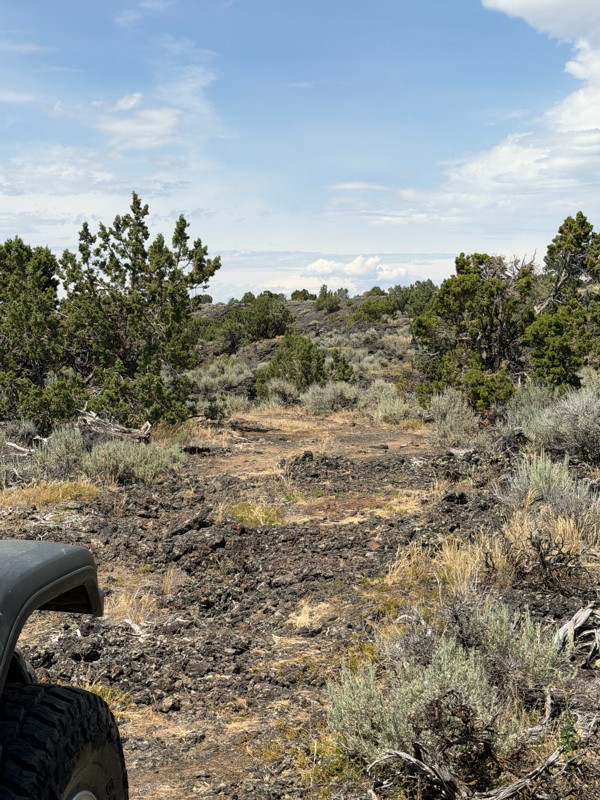
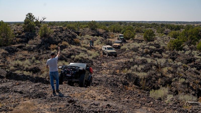
Definitely an interesting trail. I liked working our way around and over some of the cracks in the lava rock while smelling the sage and Juniper trees. Overall a very different trail than we are used ...
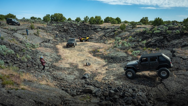
Dirty Chuckwalla
Rated 5/5
Open
Visited: 05/24/2026
If you’re looking for an easy local trail with some scenery and a relaxing drive, West Blacks Creek Road is a solid option. This is definitely more of a casual scenic route than a technical off-road t...
Michael Kerper
Rated 2/5
Open
Visited: 04/27/2026
Way too short to be worth the trip. Had a nice puddle to splash through. 🤷♂️
Richard Goins
Richard Goins
Rated 5/5
Open
Visited: 04/08/2026
Running between the Snake River and the bluffs and cliffs that define the Snake River Canyon, Big Bear Bar Road is a continuous treat for the eyes! The Owyhee Mountains to the south add to the scenic...
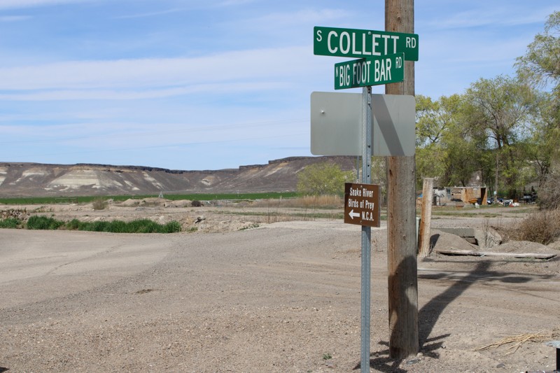

Bill Ward
Official Crew
Rated 4/5
Open
Visited: 03/17/2026
Very narrow trail. It has a couple of fun obstacles. Great views of the mountains in the distance.

Michele Strough
Rated 4/5
Open
Visited: 03/05/2026
Normally, this time of year, Castle Rock Road is closed due to snow. This year, not so much. We've had very little snow, and the road has been open all winter. The snow in the photos is from the la...
Bill Ward
Official Crew
No Rating
Open
Visited: 03/01/2026
Heavy snow on west and east end passes. Heaviest on the East pass near Clark fork.
We made it through but super sporty and required some driving skills. Don’t attempt in winter in snow without a good ...
DB
Dave Bender
Ryan Boudreau
Official Crew
Ryan Boudreau
Official Crew
Ryan Boudreau
Official Crew
No Rating
Seasonal Closure
Visited: 12/31/2025
According to this trails management agency, the trail is likely closed for the season.
You can reach out to the agency for more details.
Be sure to leave us a report and let us know ...
Trails Offroad
No Rating
Seasonal Closure
Visited: 12/31/2025
According to this trails management agency, the trail is likely closed for the season.
You can reach out to the agency for more details.
Be sure to leave us a report and let us know ...
Trails Offroad
No Rating
Seasonal Closure
Visited: 12/31/2025
According to this trails management agency, the trail is likely closed for the season.
You can reach out to the agency for more details.
Be sure to leave us a report and let us know ...
Trails Offroad
Rated 3/5
Open
Visited: 12/21/2025
30 degrees, rain, with about 3 inches of snow on the ground. We came through after a group, so we just had to manage sliding in the packed ruts. I had no issues in a stock Rubicon JL at 40psi, but had...
T
Tom
No Rating
Seasonal Closure
Visited: 12/14/2025
According to this trails management agency, the trail is likely closed for the season.
You can reach out to the agency for more details.
Be sure to leave us a report and let us know ...
Trails Offroad
No Rating
Seasonal Closure
Visited: 12/14/2025
According to this trails management agency, the trail is likely closed for the season.
You can reach out to the agency for more details.
Be sure to leave us a report and let us know ...
Trails Offroad
Most Popular

Updated: 09/24/2023
Magruder Corridor
Grangeville, Idaho
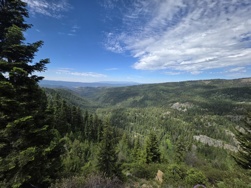
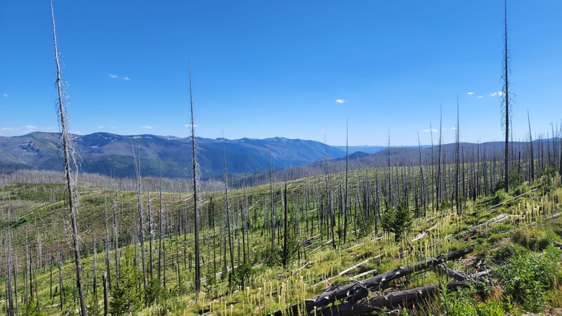
The Magruder Corridor Trail is a very accessible trail for most vehicles that takes you into the scenic and remote wilderness. It is on many people’s bucket list due to the fact that this is the only place in the lower 48 where you can be in the middle of 5 million acres of wilderness. There is history at every corner with plenty of information along the way and available from the ranger districts at each end. You can see first hand how a forest regrows after a burn, there have been many big forest fires over the past few decades that have swept through the area, and you get the chance to drive directly through that area. Most of the areas have a healthy regrowth already and the burnt trees offer a beautiful contrast to the greenery and wildflowers when they are blooming.

Updated: 06/21/2024
Middle Fork Road
Boise, Idaho
Middle Fork Road can be enjoyed year-round and is full of diverse scenery and natural hot springs. Plus, a gorgeous river, rushing waterfalls, beautiful rock formations, historic mining remnants, and an appealing lake make this a great trip. It ends at the historic mining town of Atlanta, which sits at the edge of the Sawtooth Wilderness and the base of the Sawtooth Mountains. The town of Atlanta is one of the most remote towns left in the Western US. You will be following water the entire time, starting with Arrowrock Reservoir and then the Middle Fork Boise River, which flows out of the Sawtooth Wilderness. It is said that there are over 80 natural hot springs along the Middle Fork River if you take the time to count them. For those who love hot springs, camping, bird watching, swimming, boating, fishing, horseback riding, snowshoeing, snowmobiling, and hiking, there are many places along this trail to do just that!

Updated: 07/15/2023
Cave Falls
Ashton, Idaho
Formed by lava flows from the Yellowstone caldera thousands of years ago, the Fall River is appropriately named after its many waterfalls. What is unique about these falls is not their height, but rather their width. Cave Falls, located within Yellowstone National Park, spans 140 feet of the river and offers breathtaking views of the upper and lower falls. And, if two waterfalls aren't enough, there is a hiking trail to Bechler Falls upstream on Bechler River. This trail offers numerous campsites, fantastic views of the Grand Tetons, and access to an isolated and less-traveled section of Yellowstone National Park.

Updated: 05/24/2024
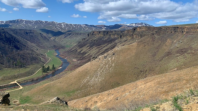
Owyhee Uplands Backcountry Byway
Jordan Valley, Idaho
Nestled within the remote and captivating landscapes of southern Idaho and southeastern Oregon lies the Owyhee Uplands Backcountry Byway, an extraordinary route that promises a journey through pristine beauty. Stretching approximately 103 miles, this offroad trail embarks on an enchanting path rarely explored by many, guiding travelers through the picturesque Owyhee County in Idaho.
Commencing at Jordan Valley, Oregon, the trailhead beckons adventurers on a mesmerizing voyage, where vast open ranges and scenic vistas unfold before their eyes. Along this captivating route, the region's geological formations, wildlife, and rich historical significance come to life, painting a fascinating picture of the area's past. The trail shows evidence of Native American cultures and early exploration, adding depth and context to the journey.
As explorers venture deeper into the backcountry, they encounter dramatic elevations inviting challenging and exhilarating descents. Amidst this untamed beauty, the vast open plains and the majestic rugged terrain create an awe-inspiring and emotionally profound connection with nature, leaving an indelible mark on the soul.
A prominent feature of this trail is the breathtaking views of the North Fork Owyhee River Rim, surrounded by a picturesque landscape of trees, rock formations, and awe-inspiring vistas. This idyllic spot offers a perfect haven for reflection amid nature's serene embrace, inviting travelers to pause and savor the moment's tranquility.
Moreover, the Owyhee Uplands Backcountry Byway provides access to five wilderness areas: Owyhee River, North Fork Owyhee River, Pole Creek, Little Jacks Creek, and Big Jacks Creek Wildernesses. Each of these areas offers its unique blend of natural wonders, contributing to the allure and diversity of this extraordinary trail.
For adventurers seeking a truly immersive experience in the wild and unspoiled beauty of the Owyhee Uplands, the Backcountry Byway awaits, promising an unforgettable expedition through a land of remarkable grandeur and timeless allure.


Updated: 05/01/2024
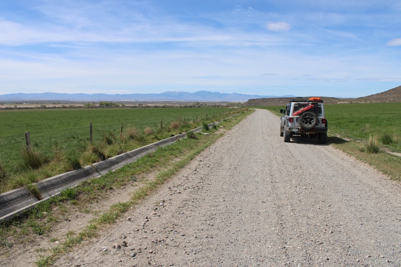
Nip and Tuck Road
Open
/
Stanley, Idaho/
4.89 miles/
About 30 minutes
This is a wonderful little dirt trail that takes you off of Highway 21, bypasses the summer crowds in the town of Stanley, and offers amazing, expansive views of the Sawtooth Mountains. Nip and Tuck is part of the Sawtooth National Recreation Area that is managed as part of the Sawtooth National Forest and covers over 730,864 acres. This trail is a popular spot for dry-camping, hikers, and bikers. You feel you have just enough space to get away from the crowds and traffic of town and highway. On one side, you see rolling grassland hills with blooming wildflowers in the summer, and on the opposite side, you can see the Sawtooths peaking in and out of views. This trail is proof that your next adventure might just be one road away that is less traveled.

Updated: 07/23/2023
West Blacks Creek Road
Boise, Idaho
If you are looking for an easy, leisurely, scenic drive not far from Boise, then this is the perfect road for you! West Blacks Creek Road is located in the Boise National Forest, has wonderful views of volcanic canyons winding along the South Fork Boise River, and hidden waterfalls come from streams out of the snowcapped mountains flowing into the river. It can take less than 30 minutes to hit the trailhead from Boise. It is an excellent trail for birdwatching as raptors such as hawks, and eagles like to nest along the rocky canyons, surf the wind streams and hunt along the South Fork River. There are also numerous hiking, camping, and has trailhead accesses to the Danskin Mountain OHV Trail System. It ends in the small town of Prairie.

Updated: 04/21/2024
Boise Ridge
Boise, Idaho
Bogus Basin Road ends a short way past the Boise Ridge Trailhead at the Bogus Basin Mountain Recreation Area, noted as a popular, local ski area. The trail itself is in the beautiful Boise National Forest just 30 minutes from Boise. The forest is over 2 million acres of spectacular beauty that you have to experience for yourself. The trail meanders southward along the main ridge east of Boise, providing panoramic 360-degree views. With the many spurs off of this trail, you can make your dispersed camping experience as remote as you like. The trail is open year-round, the only limitations would be you and your rigs ability in snow.
Updated: 08/06/2025
Lost Trail
Open
/
Melba, Idaho/
7.46 miles/
About 3 hours
Lost Trail is a favorite among locals for testing new rigs or fresh upgrades. It offers a mix of technical challenges and easier bypasses, making it a great group-ride trail. The ability to pick and choose the obstacles you complete is a luxury not found on many trails. For those who typically think of snow-capped mountains in Idaho, the high desert landscape of the Owyhees will be a different experience.
If you enjoy multiple forms of motorized recreation, Lost Trail and the surrounding area are shared-use. Full-size, under 50", and single-track trails create a large network that spiders across the hills and valleys. Because of this, it is imperative that drivers keep an eye out for cross traffic throughout the trail and practice responsible trail etiquette.
Whether you're breaking in a new build or just looking for a fun day on the rocks, The Lost Trail is a great way to experience Idaho off-roading.

Updated: 07/24/2026
Boulder Creek
Cathedral Pines, Idaho
Boulder Creek Road goes to the historic abandoned mining town of Boulder City and a gorgeous secluded lake in the mountains. It includes impressive views of the forest and open areas, multiple river crossings, and many waterfalls. The trail becomes more difficult the further you go as the road transitions from dirt to a steep embankment of shale rock with a stream down the middle. Recommend this trail for more advanced off-roaders who can climb slippery, medium-size rocks; the course is single track. The decrepit city is embraced by richly colored peaks of the Boulder Mountains overlooking Sun Valley. Scattered pine trees and meadows of wildflowers and thick grasses surround the decaying cabins along the trail. The Golden Glow Mill on the hillside is one of the two centerpieces of this trail, and it is incredible to think of around 700 residents who lived by the mill in the late 1800s. Nestled above the mine is the second centerpiece, Boulder Lake, and it is a great spot to disperse camp or have a picnic lunch.

Updated: 07/15/2023
Horseshoe Lake
Ashton, Idaho
Horseshoe Lake is a popular off-road destination for camping and fishing on the outskirts of Yellowstone National Park. The lake is stocked with rainbow trout as soon as the snow melts. The lake bottom tapers off very slowly, making it a perfect spot to take the kids. The lake is deep enough for swimming and non-motorized boats. Dispersed camping is allowed right along the lakeshore, along with hiking trails into Yellowstone National Park from the camping area at the end of the trail. This area offers views of the Gand Tetons to the south and easy access to Cave Falls and the Fall River.
As the name implies, this lake is in the shape of a horseshoe. It is located near Ashton, Idaho at the edge of the Targhee National Forest, just outside of Yellowstone National Park.

Updated: 05/01/2024
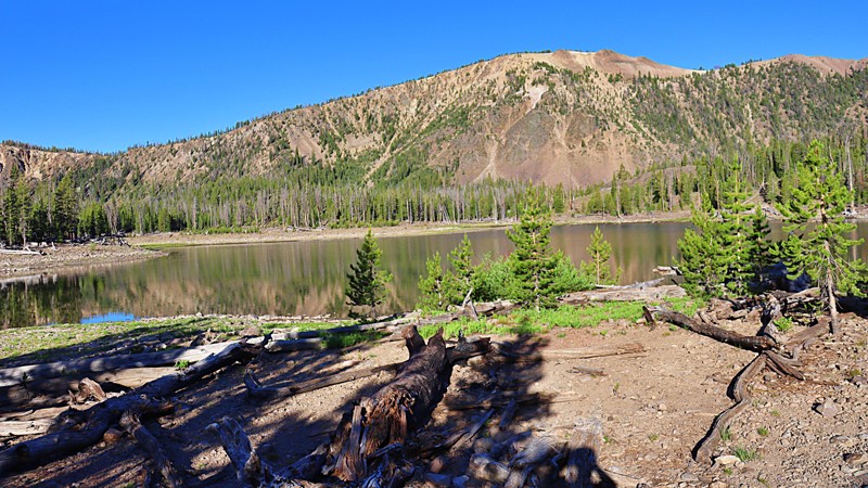
Basin Butte Road
Stanley, Idaho
Located just minutes away from Stanley, Basin Butte Road is a stunning scenic trail that presents a myriad of captivating sights. Along the route, adventurers can find a historic fire lookout and an enchanting alpine lake perched at an impressive elevation exceeding 8,000 feet. The trail treats visitors to awe-inspiring vistas of the Sawtooth Mountains, with glimpses of Stanley Lake in the distance and the vast expanse of the Valley Creek plains. Once you arrive at the Historic Basin Butte Lookout, unobstructed panoramic views stretch for miles in all directions.
Continuing along the trail, Hindman Lake, an expansive 8-acre alpine lake, offers fishing, remote camping, and hiking amidst the pristine surroundings. Basin Butte Road truly showcases nature's beauty at its finest, making it a perfect choice for first-time offroaders seeking an experience beyond a flat forest service road. The blend of breathtaking scenery and various recreational options makes this trail an ideal destination for nature enthusiasts and adventure seekers.

Updated: 07/12/2024
Sehewoki'i Newenee'an Katete Butte
Emmett, Idaho
Formally known as Squaw Butte, Sehewoki'i Newenee'an Katete is a prominent feature of the Emmett Valley landscape. You can watch for quail, pheasant, and the greater sage-grouse, also known as a sagehen, while you travel through the lower elevations of this beautiful mountain with seasonal streams from the winter snows at the peak. There is a beautiful, steep-walled canyon where you gain 1100 feet in only 1.5 miles, where you might see deer, elk, and even bighorn sheep. Near the summit, there are quaking alders on either side of the more shallow canyon you are now in where black bears have been spotted. The views of the valley below are amazing from the summit, and even more so if you drive to the Lookout Tower.

Updated: 07/13/2024
Continental Divide Road
Island Park, Idaho
This is a beautiful backcountry road that runs on in some spots and along the iconic Continental Divide Trail and bounces back and forth between Idaho and Montana. The incredible views along this dirt road will take you through fields of tall grass and wildflowers, up the mountains through Aspen Groves, and over the hill through stands of Pine and Spruce trees with breathtaking views of all the surrounding mountain ranges and lakes. This trail follows and crosses the borders of the Targhee National Forest in Idaho and the Beaverhead National Forest in Montana and is also the only way to access Henry's Lake Overlook which offers 360-degree stunning views as far south as the Teton Mountain Range 80 miles south. On a clear day, the Grand Tetons are very distinct on the horizon. This is a great trail for anyone that wants to explore some of the few sections of the Continental Divide Trail with vehicular access.
Updated: 11/04/2025
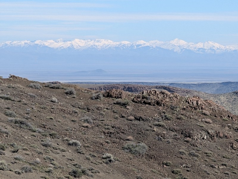
Pinyon Peak Loop
Stanley, Idaho
Nestled in the Salmon–Challis National Forest, the Pinyon Peak Loop (also known as Beaver Loon Creek) is a remote, rugged drive with sweeping views into the Frank Church–River of No Return Wilderness. The route rides airy ridgelines to 9,942-foot Pinyon Peak, where a historic fire lookout crowns a panorama of the Salmon River Mountains, alpine meadows, and basins that fall away toward the Middle Fork of the Salmon River. Along the drive, mining relics, old lookout sites, and abundant trails add rich history and options for exploration, with big-mountain scenery as a constant companion.
Updated: 09/23/2025
Hell's Half Acre
Open
/
Rising River, Idaho/
7.49 miles/
About 5 hours
Traversing the outer bands of an ancient lava lobe created 4,100 years ago, Hell’s Half Acre is a playground of ancient lava flows that create an obstacle course unlike anything else in the continental United States. The trail winds through rugged, volcanic rock gardens, jagged ledges, and uneven shelves where precise tire placement isn’t just recommended, it’s mandatory. The basalt formations create tight, twisty channels with steep drops and abrupt climbs, often with no easy bypass. Between obstacles, the scenery is stark and dramatic. Low sagebrush flats give way to twisted junipers and lava outcrops that look frozen in time. Hell's Half Acre is slow, deliberate wheeling with plenty of chances for spotting, flex shots, and testing your rig’s articulation.
Acknowledgement: Thank you to the Snake River Offroaders Club, which supports the Hell's Half Acre trail and provides continual clean-up efforts to maintain this incredible area. Consider supporting the club at their annual Lavapalooza Ride and Rally event.
Updated: 07/14/2023
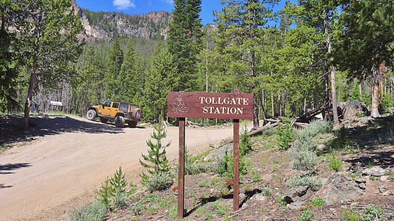
Custer Motorway
Challis, Idaho
Travel through history in the Land of the Yankee Fork, a historic mining region between Challis and Stanley via the Custer Motorway. This historic toll road was once used to carry passengers, equipment, and supplies between the mining boomtowns. This route offers scenic vistas, former stage stops, homesteads, and a mining ghost town. Combining this trail with the Yankee Fork Road and visiting the Yankee Fork Gold Dredge is a great all-day trip.
Updated: 10/01/2025
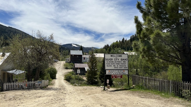
Silver City Road
Murphy, Idaho
Silver City is a privately owned ghost town in Southern Idaho that looks just about like it did during its heyday in the 1880s. Silver City is one of the premier destinations for history buffs and people who want to escape today's rat race.
Silver City Road starts as pavement but turns to gravel. The trail has steep climbs, and hairpin turns as it cuts through the picturesque mountains. One section of the road drops down to Sinker Creek with steep, hairpin corners. The road often sees heavy traffic, so take your time approaching the blind corners.
As the road climbs out from Sinker Creek and starts into the trees, there is exposed rock from 2-6" tall. Even though this is a gravel road, high clearance SUVs are recommended over cars because of a couple of these rocks. The road gains almost 4,000 feet of elevation, so be prepared for more hairpin switchbacks as the road heads over the top of the grade and down to the public restrooms.
Taking a left at the restrooms puts you within a mile or two of the town. Be prepared to go slow. Weekend visitors have overrun the locals, and the fastest way to their bad side is speeding through town. The speed limit is 5 mph.
Stop by the Idaho Hotel, have a drink or a hamburger, and then walk around the town, stepping back into history. There is a campground at the far end of town right along Jordan Creek, but the campground is as primitive as it gets: no water, no services, and pit toilets. If you need it, make sure you bring it: besides getting food at the old hotel, there are no services available in Silver City.
This road is closed seasonally from the first snowfall to Memorial Day Weekend, so please check with the Owyhee County Sheriff's Office for exact dates each year.
Updated: 08/28/2023
Challis Creek Lakes
Challis, Idaho
Challis Creek Lakes 4268 is a jeep trail located in the Salmon-Challis National Forest, an hour from Challis. The Salmon-Challis National Forest covers a vast 4.3 million acres of east-central Idaho which includes the Frank Church-River of No Return Wilderness, the Jim McClure-Jerry Peak Wilderness, the tallest peak in Idaho, Borah Peak,and the Salmon River.
Challis Creek Lakes trail begins at the junction of Mosquito Flat Reservoir. It leads to a group of three alpine lakes that sits at the edge of the Frank Church-River of No Return Wilderness at around 9000' in elevation, with beautiful views of the surrounding mountains. This is a rocky and bumpy trail with burbling creek crossings that meanders thru the forest and sometimes even in the road! There is also the Challis Creek trailhead access for hikers, equestrians, and motorcyclists midway on the trail. Once you reach the top of the trail, the lakes are a refreshing view after coming out of the forest and have plenty of space to disperse camp.
Updated: 07/25/2026
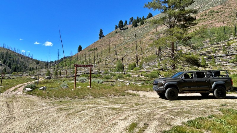
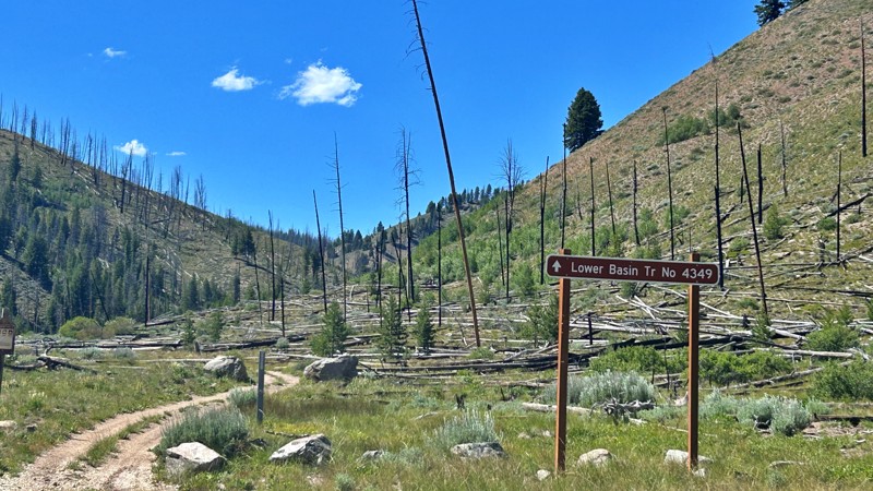
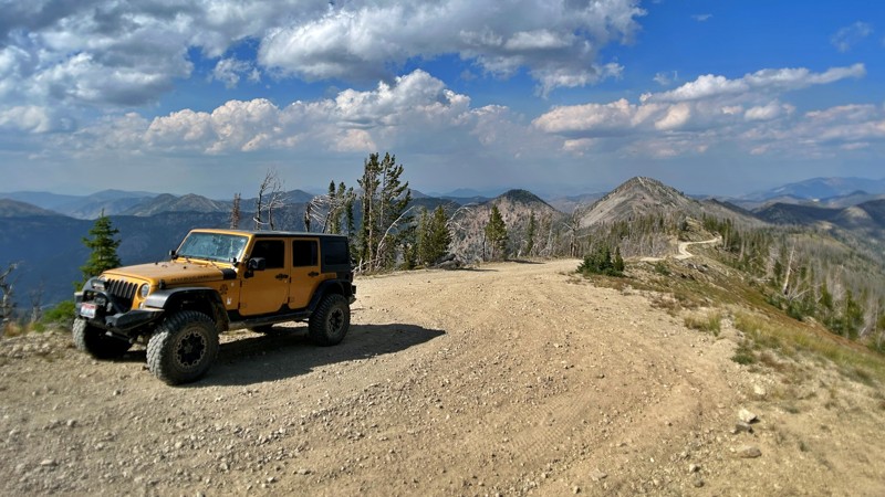
Pole Creek-Germania Creek
Sawtooth City, Idaho
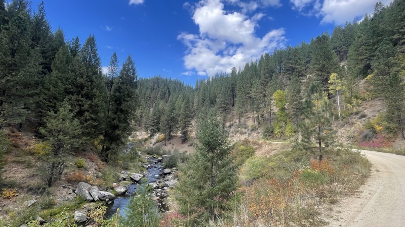
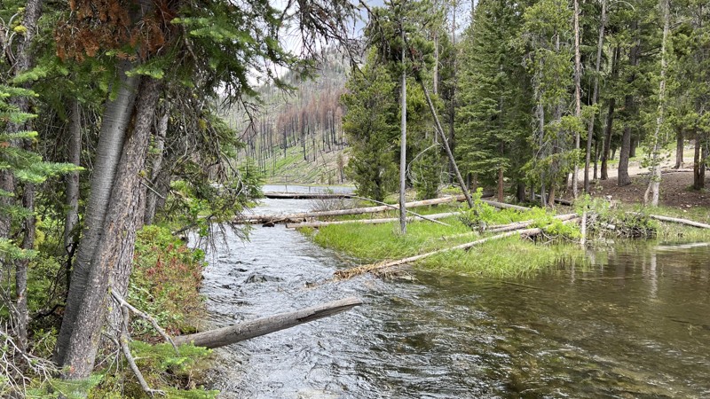
Pole Creek Road is an old mining track with beautiful scenic views and historic mining remnants. The road ends deep in the Washington Basin of the White Cloud Mountains. This trail provides access to several hiking trailheads and offers fantastic views of the giant boulders and granite slabs of 11,000 feet peaks. While the trail starts as graded, it gets narrower and rougher as it climbs. There are several water crossings of various depths. High clearance, aired-down offroad tires, and 4WD are highly recommended. There are campsites along the road with options for creekside or mountain views.
Updated: 01/19/2026
Lolo Motorway
Musselshell, Idaho
The Lolo Motorway, or the Lolo Trail, is a rugged, single-lane road that winds along the high ridges between the Lochsa and North Fork Clearwater Rivers. Constructed by the Civilian Conservation Corps in the 1930s, this challenging route requires a sturdy, high-clearance vehicle and a high level of self-reliance. The rocky and steep terrain makes it unsuitable for RVs or trailers. Still, those who brave the journey are rewarded with breathtaking views and a deep connection to history as they follow the same paths once traveled by the Nez Perce and the Lewis and Clark Expedition.
While the national forest MVUMs show the motorway as open year-round, straight-through access is typically only available from July through September due to lingering snow drifts and fallen trees. Spanning 92 miles, the Lolo Motorway offers adventurers a truly immersive experience in the remote beauty of the area. However, with no gas stations, stores, or other services along the way, it's crucial to emphasize that thorough preparation is not just recommended but absolutely essential. This responsibility adds to the readiness and excitement for the challenge ahead.
There are scattered established campsites along the trail. Please use existing sites rather than start new sites.

Updated: 07/07/2024
Sawtelle Peak
Island Park, Idaho
Anyone in the area, whether having been there for a lifetime or for the first time, should check out the views from Sawtelle Peak. The views from the top of this mountain are the closest you'll be to having a birds-eye view without being in a plane. On clear days, one can easily see the distinct features of the jagged Grand Tetons in Wyoming to the south 60 miles away. Folks are often amazed at how large Henry's Fork River and Island Park Reservoir are. You never get a feel for their size amongst all the trees! One can look down onto Henry's Lake with a glimpse of Hebgen Lake over the next ridge. The Red Rock Lakes are hidden behind Red Rock and Nemesis Mountains, but the Red Rock River can be seen snaking through the green grassy fields off in the distance.
This trail is located in Island Park, Idaho, 30 minutes from West Yellowstone and the west entrance to Yellowstone National Park. If traveling through this area in the dry summer months, check out this trail. The views here may even rival your trip through Yellowstone and a whole lot less traffic.
Updated: 10/15/2024
082
Big Springs, Idaho
Escape the highway traffic and embark on a captivating adventure along Fish Creek Road. This scenic route winds through towering trees, treating you to occasional views of the vast caldera and a glimpse of the majestic Grand Tetons. Don't forget to make a pit stop at the roadside cut through the legendary Buffalo Lake obsidian deposit, renowned for its exceptional quality. Immerse yourself in the serenity of the drive as the road offers a mix of smooth overgrown asphalt and 16 miles of dirt, occasionally dotted with potholes and ruts.
Campgrounds can be found to the south, nestled along the Warm River, and established dispersed campsites near Big Springs in Island Park. It's the perfect escape for those craving a tranquil and picturesque journey off the beaten path.
Updated: 04/06/2026
Rocky Canyon
Boise, Idaho
Rocky Canyon Road, also known as Shaw Mountain Road on the eastern side, is one of the access roads to the famous scenic Boise Ridge Road. Rocky Canyon can also be used to access trails in the Idaho City area and near Lucky Peak Reservoir. It is narrow and is widely used by bikers, hikers, and runners. On the Boise side of the summit, the road is graded dirt, but once you start to descend, the trail is not well maintained, and there can be washouts in some areas. There are no camping areas along this trail.
Updated: 07/23/2026
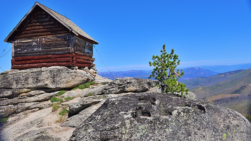
Hells Half-Acre Lookout
Upper Crossing, Idaho
Hells Half Acre Lookout sits atop Hells Half Acre Mountain, at an elevation of 8,116 feet. The trail is accessible from the Magruder Corridor and is set high in the Bitterroot National Forest with views of the Frank Church Wilderness and Salmon-Challis National Forest. The lookout is staffed every summer during fire season. There are some areas for dispersed camping along the trail.

Updated: 06/05/2022
Scriver Creek Road
Garden Valley, Idaho
Scriver Creek Road is in the Boise National Forest, just north of the quaint and very rural town of Crouch, Idaho. The area offers snowmobiling, kayaking on the Payette River, hiking, hunting, camping, and of course, 4 wheeling. This trail specifically is the Mother of several Scriver Trails, many of them listed in this guide. Trails with spurs of their own and ending in additional routes to explore for miles of 4x4 fun. When you include the 8 fantastic dispersed campsites to choose from, 6 of which are creekside, you have a trail that deserves a visit, an hour, a day, or 2 weeks. You'll leave knowing you've experienced the beauty of the Boise National Forest.
Updated: 06/11/2024
Indian Hot Springs
Bruneau, Idaho
Nestled between river canyons, Indian Hot Springs is a hidden desert oasis with stunning views in every direction. Leaving the stark Inside Desert, the excitement peaks as you see the Bruneau River’s flowing waters, topped with steam from the hot springs, plunging 2,300 feet into Bruneau Canyon. This ancient route, once traversed by the indigenous Paiute-Shoshone for trade and relaxation, later attracted prospectors in search of the prized Bruneau Jasper, whose remnants still dot the landscape. This trail is a must-explore when visiting the Bruneau-Jarbidge area.

Updated: 07/16/2024
Sunset Mountain Lookout
Idaho City, Idaho
Sunset Mountain Lookout 316 is a jeep trail located in the southeastern part of the Boise National Forest, an hour and a half from Boise, and less than 30 minutes from the historic mining town of Idaho City. The Boise National Forest covers a vast 2.5 million acres ranging from forest to grassland.
Sunset Mountain Lookout leads to an unmanned fire lookout built in 1958 with impressive panoramic views of the surrounding mountains and ridges within the Boise National Forest. Sunset Mountain Lookout was registered in October 2011 on the National Historic Lookout Register and is at an elevation of 7,869 ft. Visitors can walk up to the 10-foot concrete base and around the catwalk to take in the views from all directions.
This trail has various options for dispersed camping as pullovers or off the road. For those who enjoy combining hiking, equestrian, or hiking with off-roading, there are a few trailheads along the road with room for parking.
Updated: 12/02/2024
North Fork Boise River
Tenmile Summer Home Area, Idaho
The North Fork Boise River Road, also known as Rabbit Creek Road and NFSR-327, is a forest service automobile-friendly road that begins at State Highway 21 near Idaho City, climbs over Rabbit Creek Sumit, and follows Rabbit Creek and the North Fork Boise River. It then drops down thru Swanholm and ends at Middle Fork Road. Hunting, fishing, hiking, sight-seeing, snowmobiling, cross-country skiing, trail riding, and camping is prevalent on this trail, with at least one developed campground Black Rock Campground along the trail. There are numerous jeep trails, spurs, and plenty of dispersed camping spots from which to choose.
Updated: 11/30/2025
Railroad Ridge (Jim Creek-Livingston Mine)
Torreys, Idaho
The area surrounding this trail is full of mining history and spectacular views as it is the highest road in Idaho, topping around 10.4k feet in elevation. Railroad Ridge is an in-and-out trail. The route begins at the historic Livingston Mine living quarters and ascends steeply as a single track with almost zero pullouts. But the views at the top are entirely worth the climb. The trail's end overlooks the Sawtooths to the west and the unending Frank Church Wilderness to the north. The Lost River Range and Lemhi Mountains can be seen along the eastern side. The open and close dates all depend on snowmelt and snowfall each year. Once you reach the open meadow at the top, there are plenty of places to disperse camp.
Updated: 10/29/2025
Cottonwood
Twin Springs, Idaho
Cutting through the foothills between the Boise River and Highway 21, Cottonwood is a one-lane road with some wide spots, small potholes, and shallow tire ruts. Only it goes into the foothills instead of along the river gorge. The National Forest section of the trail is very narrow, with lots of opportunities for pinstripes. There are several creek crossings. The northern end of the road passes through a small subdivision. There are a few nice dispersed campsites along the trail.
Updated: 04/13/2026
Harris Creek Road
Horseshoe Bend, Idaho
Harris Creek connects the historic mining town of Placerville and Horseshoe Bend. Combine Harris Creek with
to make a nice easy scenic loop to Idaho City. In 1863, at the height of the gold rush, Placerville had a population of 3,200, mainly consisting of miners and townspeople who worked the Basin. Later, logging and ranching became the predominant occupations. Since World War II, outdoor recreation, second homeowners, and tourism have become important to Central Idaho and the Boise Basin. This road also goes by the historic Star Ranch homestead located across a picturesque meadow with mountains in the background. There are various dispersed campsites along this trail from creekside to mountain ridge.
Updated: 02/21/2026
Two Headed Dragon
Murphy, Idaho
Two Headed Dragon is a short, 1/2 mile rock trail that might take all day, depending on how your rig is equipped. Two lockers and 35" tires are recommended minimums for this trail. It's called Two-Headed Dragon because, after the first waterfall, the trail splits into a right-hand side and a left-hand side. Two Headed Dragon is a true rock crawling trail, so expect loose, rolling rocks and vertical climbs for most of the trail. Make sure your hubs are locked as you start the entrance to Two Headed Dragon. There is a bit of a gatekeeper, but it is mild. After, you will wind up the trail to the first Waterfall. The first Waterfall is the hardest part of the trail if you are completing the left-hand side of the Dragon. The Waterfall is a four-foot vertical climb. Four-door Jeeps and longer rigs have break over issues on this climb and get hung up on their skid plates. Depending on your rig and tire height, there are a couple of lines on this waterfall. However, a lot of rigs have to winch over this point. After the Waterfall, it is decision time: left and easy, or do you try the right-hand side of the dragon? The right-hand side has loose, rolling rocks-from basketball size to ottoman size at the bottom of the climb. Rigs have to do a three-point turn to get lined up in the bottom, so these rocks can catch a diff or a driveline easily before even starting up the right-hand side. The line tends to be farther to passenger than people want to believe because it feels like a rollover waiting to happen. Once the climb starts, there are several stair steps of rock and a squeeze chute to navigate. At the exit to the right-hand side, there is an optional V-notch at the top that has climbed multiple shades of paint from sheet metal. If that is your choice, the left-hand side is still not a giveaway. Drivers have to navigate a three-foot step with lots of loose shale. Then, the trail turns back to the right in a vertical rock climb that threatens to hang up diffs on solid rock and as you have to slowly crawl to the top. Once up on top, the two sides come back together. There is one more tough spot on the trail. The last obstacle is another four-foot waterfall that rock buggies have a hard time pulling. There is an optional route to the left and driving around the large rock that makes the waterfall. Drivers must put their rock sliders on the rock and pivot around to complete the last waterfall. This can be really tough on longer, four-door rigs. After the last obstacle, climb over the top of the hill and down to the sand wash below where Two Headed Dragon joins into Lost Trail. Camping is dispersed with no formal camp spots on this trail. To get to the Two Headed Dragon from Nampa, head south on Highway 78 towards Murphy. About three miles before Murphy, there is a large, gravel parking lot on the right-hand side of the road on a sweeping right-hand curve. This is the beginning of Road H216. Take H216 and turn left on H100. Turn right on H170, which leads to the entrance to Two Headed Dragon, labeled H171 on the maps.
Updated: 07/16/2026
Burnt Knob Lookout
Red River Hot Springs, Idaho
Burnt Knob Lookout leads to an iconic, historic fire lookout. It's advisable to have four-wheel drive with high clearance due to deep ruts and large boulders protruding from the surface. This road is not maintained. Burnt Knob is one of the most spectacular summits in the southern Clearwater Mountains, and just off the Magruder Corridor. As you first glimpse the lookout perched on the granite summit, there are hiking trails to the left leading you to the McArthur, Stillman, and Burnt Knob lakes, with native fish in those lakes. This lookout is a must-see! It is possible to camp at the lookout. It is normally unlocked if one wants to sleep inside.
Updated: 01/06/2026
Grimes Creek
Robie Creek, Idaho
This winding dirt road takes you through an area rich in mining history. The first few miles of the road from Highway 21, the Ponderosa Pines Scenic Route, has several nice campsites right along the water. For the last 8 miles, you will pass through an active mining area. This mostly flat and wide drive through the valley is a nice scenic with lots of history. Small potholes and washboard sections are the only obstacles on this road, making it suitable for most vehicles. Grimes Creek connects to Centerville Road so you can finish your dirt road trip to Idaho City.
Updated: 10/15/2024
Wildcat Gulch
Idaho City, Idaho
Turning on Grimes Creek Road from Highway 21, also called the Ponderosa Pines Scenic Route, to the right is a sign for Wildcat Gulch. Wildcat Gulch will also take you to Centerville Road and then onto Idaho City, like Grimes Creek. But instead of taking through the valley on a wide easy road, Wildcat Gulch goes up the mountain and across the ridgelines, giving you a completely different experience and several panoramic views of the foothills. Wildcat Gulch is a one-lane 4x4 road with medium to deep tire ruts and potholes. There are many nice campsites with great views, but most are on spur roads with little to no maintenance. It is also used for hunting access, and firewood collection, so you will run into more people in the Fall than in other parts of the year.
Updated: 07/24/2026
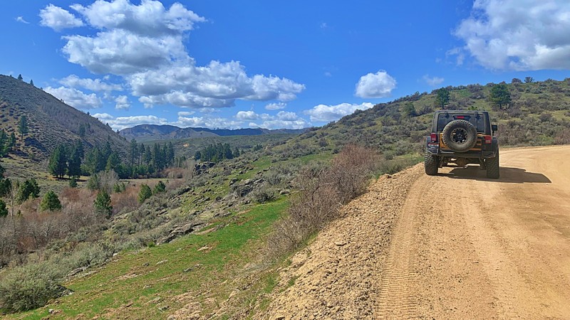
Ketchum-Featherville Road
Featherville, Idaho
Forest Service Development Road 227 runs from Featherville to Ketchum. Different maps have different names for the road, but FS227 is consistent across map packages for the entire road length. It is the perfect road for viewing wildflowers.
FS227 is an easy road to drive, but due to washouts, potholes, and rocks, a vehicle with reasonable ground clearance and good tires is recommended. Dust and blind curves are general hazards.
There are several designated campgrounds on the Featherville end of the road and designated and numbered individual campsites on the Ketchum end. Dispersed camping is also allowed along most of the road, but, particularly on the Ketchum end, care should be taken to avoid private property.
Updated: 10/15/2024
Lick Creek Road
McCall, Idaho
A few steep vertical traverses and relatively narrow shelf roads keep this track from qualifying as a beginner track, but it's otherwise an easy, relaxing, and impeccably beautiful trail from McCall into Idaho's famous backcountry fishing areas.
The first part of the trail features the beautiful Little Payette Lake and a handful of dispersed campsites tucked into the surrounding trees. The path then climbs up the mountain pass revealing stunning views of rock faces, peaks, and green valleys. While easily navigable, the first half of the route does feature a few bumps and potholes, along with patches of rock that can be rough on driver and passengers alike.
Once across the high pass and down into the river valley below, there are multiple dispersed camping areas with easy access to top-tier fly fishing spots along Lick Creek and connecting with the South Fork of the Salmon River. Along the route are also a few small formal campgrounds.
Updated: 07/14/2023
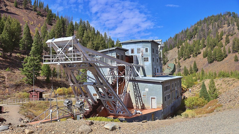
Yankee Fork
Sunbeam, Idaho
Yankee Fork Road is located in the Salmon-Challis National Forest. The road is a true reflection of what the history of Idaho is rooted in; hard work, brutal elements, western promise, and most importantly - gold. Uniquely, the Gem State's mining past is a legacy that remains just as much a part of our landscape today as the very minerals that hide beneath our rugged terrain, leaving behind a trail of ghost towns, long-standing saloons, and Wild West-style architecture. Today, some remnants of ghost towns Bonanza, homesteads, and mining sit by the Yankee Fork in various states of preservation and decay. You will see the dredge ponds and tailings alongside the road, as well as reclamation and revitalizing of the river habitat to restore Chinook salmon and steelhead in the Yankee Fork River after mining damage. Finally, the iconic Yankee Fork Gold Dredge is one of the best-preserved and presented dredges in the lower 48 states and is open to guided tours in the summer months. Several dredge ponds offer opportunities for fishing and camping.
Updated: 03/09/2026
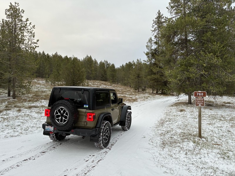
Thompson Hole
Lamont, Idaho
Thompsons Hole, FR 363, is a fun, rocky trail leading to the Fall River and Sheep Falls. Photos don't do the waterfall justice. It doesn't show the mist you feel that the gentle breeze lays upon you as the water violently tumbles into this 3-sided hole to the Fall River below, along with the loud rumbling sound from the multiple falls making conversation complicated along with that somewhat overwhelming feeling at the crest of the falls. Aspens, pine, and spruce line the trail with tall green grass. The occasional clearing with colorful wildflowers makes for a pleasant drive. There are rocky sections requiring decent ground clearance and 4-wheel drive. There's only one campsite along this trail, but it's gorgeous along the river a half mile upstream from the waterfall with easy access to a much calmer section of the Fall River.
Updated: 10/15/2024
Danskin Lookout
Oasis, Idaho
Danskin Lookout offers spectacular views from the high desert to the south, with hundreds of rock outcroppings along the way, some even as tall as 75 feet. As you get closer to the peak, there are canyon views that the South Fork Boise River has cut in the east. The Danskin Mountains are located in the extreme southwestern portion of the Boise Mountains; therefore, this area usually has its snowmelt first. There are several open dispersed campsites along this trail. The trail is gated before arriving at the peak, and there is a .31 mile hike to the summit and lookout. The lookout offers views of the Owyhee Mountains in the southwest and the taller peaks of the Boise Range, including Two Point Mountain and Trinity Mountain.
Updated: 10/15/2024
Beaver Creek
Grandjean, Idaho
Are you looking for an overlander's paradise camping spot? This is it if you are looking for your own private fishing and camping spot on public land. Follow Beaver Creek, FR 8, to Josephus Lake and Josephus Lake Campground. The lakeside campground is almost 20 miles in. The campground is all primitive camping. The trail also has several dispersed camping spots along the way. The road is rocky gravel with embedded rock. There are several steep switchbacks with an overall elevation gain of 2400 feet. The entrance to the campground has a deep water crossing. The crossing has a hard bottom but could challenge low-clearance vehicles.
Updated: 11/30/2025
Sunset Peak Road
Robie Creek, Idaho
Sunset Peak Road, often referred to locally as simply "8th Street" (the road name of the very last portion of the trail before it joins the ridge), is a well-maintained track providing incredible views of the city of Boise and connects you to the Boise Ridge. This trail is passable by any vehicle with moderate clearance. It's common to find a sedan parked along the trail in one of the turnoffs. The most challenging part of the trail is a small rutted hill, but it is still passable in 2WD. This trail is fantastic for sightseers looking to get an elevated view of Boise and is particularly stunning at night. Camping is not allowed anywhere on the trail.
Updated: 06/05/2022
Corral Creek
Emmett, Idaho
Corral Creek Trail is on BLM property in southwest Idaho, about 30 miles east of Oregon. It is a ranchers trail to maintain the pond at the end for his cattle. The scenery is fantastic in all directions with the Oregon mountains to the west, Squaw Butte to the east, and the beautiful Emmett Valley to the south. This trail will give you a feel for how cattle are raised in this part of Idaho, and elsewhere, dating back to the 1800s. Many of the cattle ranches here are 3rd and 4th generation. The typical charge to run cattle on BLM property is $1.50 per head, per month. Please respect that the rancher uses this property for his living and always STAY THE TRAIL.
Updated: 07/21/2026
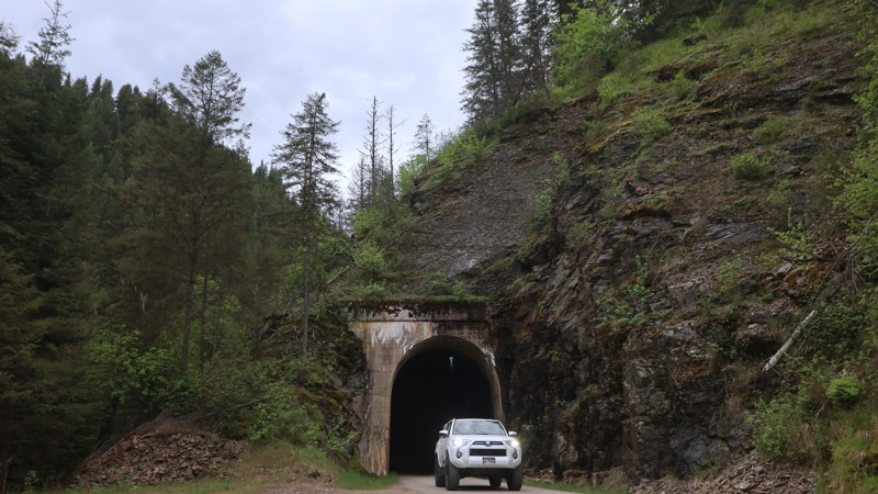
Moon Pass
Avery, Idaho
Winding through the rugged beauty of Idaho’s backcountry, Moon Pass, also known as North Fork St. Joe Road, is a scenic gateway that connects the historic town of Wallace with the quiet community of Avery along the St. Joe River. This 30-mile route is more than just a drive; it's a journey through time and terrain, following the path of the decommissioned Milwaukee Road railroad that once carried electrified trains from 1909 until 1980.
A large portion of the road rides atop the original rail grade, offering travelers a steady, well-maintained track that transitions from pavement just outside Avery to gravel, and eventually dirt and rock as you climb toward the summit of Moon Pass. Along the way, you’ll pass through seven narrow, one-lane train tunnels and cross over remnants of old trestles, with sweeping views of the North Fork of the St. Joe River unfolding around every bend. Thanks to seasonal maintenance by Shoshone County. It usually opens to vehicles in late May or early June, depending on snowmelt and tunnel upkeep. During winter, the route is closed to cars and may be groomed for snowmobiling instead. There are no visible campsites available off this trail.
One of the most captivating elements of this drive is its history. The route was once part of an electrified rail line designed to mitigate wildfire risk following the devastating 1910 fire. Today, relics of that era remain, like the railcar on display next to the historic depot in Avery, where you can dive deeper into the Milwaukee Road's legacy.
Despite its mountainous surroundings, this is an easy and accessible drive. The road is full-width and generally in good condition.
Keep an eye out for shuttle buses traveling to and from the nearby Route of the Hiawatha bike trail. Whether you're in it for the views, the tunnels, or the history, Moon Pass is a must-do for anyone looking to explore a scenic and storied slice of Idaho’s 4x4-friendly wilderness.
Updated: 11/30/2025
Long Gulch
Prairie, Idaho
Long Gulch, also known as Slide Gulch Road, is an effortless and pretty drive between the town of Prairie and the Arrowrock Reservoir, which follows along the Middle Fork Boise River. It does have a seasonal closure depending on snow levels as it reaches nearly 5000 feet in elevation and is not maintained in the winter. The trail may be closed periodically between November and early March. There are various dispersed campsites along the trail and spur roads leading to hiking trailheads.
Updated: 10/15/2024
Elk Mountain
Red River Hot Springs, Idaho
FSR 285 Elk Mountain Road runs along a ridge and offers views of the Clearwater Mountains. Elk Mountain is doable for 4x4 vehicles but is a narrow, one-lane road. Elk Mountain Road ends at the Elk Mountain trailhead, which leads to Elk Mountain, the highest mountain in the Clearwater Mountains. It is also provides access to Green Mountain Lookout, a historic wooden tower lookout.
Updated: 06/22/2026
Relay Ridge
Clementsville, Idaho
If you want a trail with a view, this is the one! Shortly after starting Relay Ridge, you're treated to a beautiful view of the lower valley, but the best is absolutely yet to come. The trail steadily climbs up Packsaddle Basin headed for Ryan Peak with 2 or 3 noticeable campsites, but it's not a camping goldmine like other trails in the area. The real treat is the last mile and a half, where the pines open up to alpine meadows as you're nearing the top of the ridge and the radio towers. At the top, you look directly across the Teton Valley, where the town of Driggs sits, and see the entire Teton range, including Grand Teton.
Updated: 09/22/2025
Trinity Ridge Road
Pine, Idaho
When turning onto Trinity Ridge Road from the south, one should note the sign that says passenger cars and trailers are not recommended. The first few miles are the typical low-maintenance dirt and gravel forest road. As the climb up to the pass on the shoulder of Trinity Mountain starts, the road degrades with washouts, ruts, rocks, and switchbacks. The Hardest Part photo does not do that section justice. It’s not long, but it is steep with large rocks. A true 4WD is needed. All-terrain tires are recommended. Other than the few miles climbing the south side of the pass, the rest of the road is easy. If driving up from the Rocky Bar/Featherville end of Ridge Road, a passenger vehicle should be adequate to get as far as Trinity Lakes. Just above the lakes is the pass.
Trinity Ridge has spectacular views on both sides. Alas, a large portion of the Ridge was burned in 2012, so the view is sometimes obstructed (enhanced?) by standing dead trees. But the view of the nearby valleys and distant mountains is awe-inspiring!
Although there are plenty of opportunities for dispersed camping, the gem of the Ridge is the Trinity Lakes area with clear blue waters, well-developed campgrounds, and many hiking trails.
Updated: 10/15/2024
Fall Creek Road
Swan Valley, Idaho
This trail is an overland traverse between the stunning Swan Valley on the Wyoming border and Idaho Falls. The trail leads through the beautiful Caribou range of hills and mountains. It is a busy stretch of trail with large group campsites and HOV trails from Swan Valley. There are no technical challenges on this road, only a very dusty, gradual 1400-foot ascent and scenic views before linking up with the Kepps Crossing road to complete the journey to Idaho Falls. Be aware that area farmers and ranchers use this road. You may occasionally come across a large water truck or farming equipment heading up and down this road that does include private parcels of land.
Updated: 10/16/2023
Loon Creek
Stanley, Idaho
Loon Creek Road, designated as NF-007, winds its way through the backcountry of Idaho, beckoning adventurous spirits to delve deep into the untamed heart of this region. This trail is an open invitation to explore the natural beauty, the remnants of a bygone mining era, and the profound serenity that defines the vast expanse of the Salmon-Challis National Forest and the Frank Church River of No Return Wilderness.
While journeying along this road, you'll encounter remarkable landmarks. These include the ghostly echoes of Casto, an abandoned mining settlement, the historical Oro Grande mining community, the Upper Loon Creek Airfield, the well-appointed Tin Cup Campground, and the Philips Creek Transfer Camp. Each of these destinations adds a unique facet to the captivating tapestry of this wild and remote landscape.

Updated: 07/23/2023
West Fork Alder Creek
Garden Valley, Idaho
The west fork of Alder Creek is in the beautiful Boise National Forest. It is mid-way between Placerville to the south and Garden Valley to the north. Placerville is a border-line ghost town from the 1800s and it's by-gone mining and logging prosperity. Garden Valley, with the south fork of the Payette River running through it, is internationally known for its white-water kayaking. The foliage and forest canopy of this trail has to be experienced to fully appreciate the beauty you will see from this trail. It is also a major ranging area for thousands of elk. The trail itself is well known to campers and hunters alike. This trail is in hunter unit #33 for those needing to research seasons and game.
Updated: 10/15/2024
Dagger Falls
Grandjean, Idaho
Take a scenic, leisurely drive to one of the coolest waterfalls around. Dagger Falls is an epic water feature on the Salmon River. Watch the salmon try to jump the falls or work around the fish ladder. Sheep and goat sightings are common in the surrounding high hills.
Although mostly a graded gravel road, switchbacks and exposed rock require attention. The road does get narrow, and since this is a popular boat launch for rafts in the summer, the chances of meeting pickups towing trailers are good. Take it slow around the blind corners, and make sure to stay in your lane.
Dagger Falls Campground s located at the falls. If camping next to a roaring river is your idea of sound effects, check this one out.
Updated: 10/03/2025
Rim Runner
Twin Falls, Idaho
Rim Runner is in an open OHV area with many unmarked/unnamed roads/trails. This route runs near the rim of the Snake River Gorge. Various spurs with great views and photo opportunities for the Twin Falls Bridge, the Snake River Gorge, and multiple waterfalls. The Twin Falls Bridge is one of the only bridges you can legally base jump off of, so if you are lucky, you might get a show. Like much of southern Idaho, lava rocks of all shapes and sizes abound. This has caused very uneven wear on the roads and trails and can cause ground clearance issues for any vehicle that doesn’t have adequate clearance. A paved highway divides the rim area from the rest of the OHV area and provides pullouts so visitors can walk the .5 miles or less out to the rim.
Along the rim is day use only. Dispersed campsites are allowed on the other side of the paved road.
Updated: 10/15/2024
Prairie Road
Dixie, Idaho
Prairie Road is the main access road from the tiny town of Prairie nestled at the bottom of the Trinity Mountain range to the closest city of Mountain Home. Prairie Road has a range of ranchlands, canyons with rock formations, and journeys along part of the South Fork Boise River. The trail is a beautiful drive in all seasons, with opportunities to see deer, elk, and eagles nesting along the road. Near the town of Prairie, the lookout at the peak of Danskin Mountain can be seen. There are some dispersed campsites available along the area that follows the river. The Danskin Floatboat Access and the Cow Creek Floatboat Access also provides a launch site for whitewater rafts into the South Fork River with pit toilets and an information kiosk on site.
Updated: 10/15/2024
Crow Creek Road
Geneva, Idaho
Crow Creek Road runs as a long arterial route through the Montpelier Ranger District and, if run in its entirety out of the national forest, takes you from Montpelier Reservoir across the border into Afton, WY. Camping along this route is mainly limited to the reservoir campground, a couple of sites around Giveout Camp (roughly 6 miles from the reservoir), and a couple more near the final spurs (roughly 1.5 from the end of the route).
Updated: 08/20/2025
West Mountain Jeep Trail
Cascade, Idaho
This historic single-lane road winds along the crest of West Mountain for an impressive stretch of more than 20 miles. Traversing the ridge reveals breathtaking panoramic vistas of the valley below, with Cascade Reservoir gracing the backdrop. Additionally, you'll discover access points to numerous alternative routes along the journey.
This trail isn't tailored for those seeking an easy, smooth forest service road. Instead, it beckons to adventurers who relish the challenge of an authentic jeep trail that demands vehicle clearance, precise tire placement, and the occasional off-camber moment. The payoff, however, is an unforgettable memory of the awe-inspiring views along the mountain ridge.
Be prepared for the possibility of pinstriping, particularly in the narrow stretches alongside the treeline. You'll also encounter boulders, especially on the inclines, and there's an abundance of washouts to navigate. This is not a trail to do when it's wet or muddy, as it would be impassable in places. While designated campsites may be scarce, ample pull-off spots and spur routes are ideal for dispersed camping. Always bear in mind the essential principle of Leave No Trace.
Updated: 06/16/2025
Deadwood Reservoir South
Grimes Pass, Idaho
The southern entrance to Deadwood Reservoir runs through the Boise National Forest on Scott Mountain Road, NFSR 555, a graded dirt road that any high-clearance 2WD can handle. The trail has scenic forest views that occasionally open up, providing glimpses of the rugged Sawtooth Mountain Range in the distance to the east.
Deadwood Reservoir is a medium size lake with lush trees and mountains surrounding it. There are campgrounds on the south, east, and north sides. Cozy Cove Campground is on the south side of the reservoir and has amazing spots right on the water.
Updated: 06/11/2024
Rowland Road
Bruneau, Idaho
Embarking on Rowland Road unveils a vital route to the secluded mining town of Jarbidge. Beginning in the Owyhee Desert and stretching into the Humboldt-Toiyabe National Forest, the trail enchants with its diverse landscape. From sprawling plateaus serving as free-range cattle grazing grounds to panoramic views of the Jarbidge Mountain Range, the journey culminates in ghostly remnants of buildings and mining activities, whispering tales of a bygone era.
Updated: 06/03/2025
Keeps Crossing
Guyaz, Idaho
Kepps Crossing is one part of a two-part route linking up with Fall Creek Road from the incredible Swan Valley area to Idaho Falls over the Caribou range. Kepps Crossing is tame and easily traversed by 2WD vehicles. The road brings travelers through rolling hills, small creeks, farmland, and wind farms before dropping into the southeastern edge of Idaho Falls. No technical or terrain challenges outside of a few wide switchbacks and gradual elevation changes. There is no camping along this part of the route.
Updated: 09/26/2025
Centerville Road
Placerville, Idaho
Centerville Road connects the historic mining community of Centerville and Horseshoe Bend to the west and Idaho City to the southeast. Centerville was one of the four prominent mining camps that emerged during the Boise Basin gold rush of 1862. By September of 1863, Centerville had a population of almost 3,000 people, making it the fourth-largest camp in the Boise Basin behind Idaho City, Placerville, and Pioneerville, and the fourth largest city in the area that is now Idaho. Unlike Placerville and Idaho City, which have survived and are active towns today, nothing remains of Centerville except a few homes. This trail is mainly a graded dirt road that is only paved near Centerville and Idaho City and offers scenic views of the Boise and West Mountains.
Updated: 10/15/2024
Bachman Grade Road
Oreana, Idaho
Bachman Grade Road, also called Triangle Road, is an easy and scenic excursion south from the little town of Oreana. Bachman Grade is a well-maintained, mostly two-lane, gravel road suitable for any vehicle. The trail starts in the relatively flat sagebrush steppe and climbs to about 6000 feet at Toy Pass. There are views of the mountains across the open sagebrush from the steppe. As you climb towards Toy Pass, views of the steppe and the mountains to the north of the Snake River Plain emerge.
In 2019, the BLM started the Bruneau-Owyhee Sage-Grouse Habitat (BOSH) Project to improve sage-grouse habitat in 617,000 acres. The project includes cutting down many of the juniper trees that crept into the sage-grouse breeding areas. Piles of cut juniper trees are waiting to be burned or removed.
While there are no designated camping areas along the road, dispersed camping is available. Few places scream “Camp Here!” but ample spots for a quick camp exist. When camping, avoid the private land along the road.
Unfortunately, the road is gated at a private property boundary around mile 23.
Owyhee County in Southwest Idaho has over 5000 square miles of desert, canyons, and mountains. There are no services in the entire area, and cell coverage is spotty. Being adequately prepared for any contingency is a must.

Updated: 08/28/2023
Archie Creek Road
Lowman, Idaho
Archie Creek Road, FR-542, is a mountain ridge road located in the central part of the Boise National Forest. The Boise National Forest covers a vast 2.5 million acres ranging from forest and grassland. This trail is approximately 2 hours from Boise and an hour from the historic mining town of Idaho City. This is a great option if you want to avoid the crowds on Idaho-21 or just want to look at mountains and feel like you are on top of the world as this road winds down off of the Banner Ridge offering impressive views of the surrounding mountains and ridges within the Boise National Forest. There is a great overlook that offers an amazing view of the Idaho -21/Ponderosa Pine Scenic Route and the Payette River. The trail then descends down, crosses the Payette River, and passes through the small community of Kirkham. There is one dispersed campsite on this trail in a great open area with 360 panoramic views of the nearby mountain peaks and ridges.

Updated: 06/05/2022
Cabarton Road
Cascade, Idaho
FS645 Cabarton Road is in the Boise National Forest. This trail is a great 15-mile trek to Cascade Lake until the Wilks brothers decided to block access with a locked gate. The area is still beautiful with the Tripod Meadow and Tripod Creek nearby. There are dozens of dispersed campsites in the area but be aware of the wild animals that call this forest home in addition to the hunters that hunt them.
Updated: 06/05/2022
Middle Fork Payette
Garden Valley, Idaho
The Boise National Forest offers an incredible variety of geography, fauna, foliage, and recreational activities. The Middle Fork Payette provides just about everything in one 15 mile package. Starting with the beautiful river and different levels due to snowmelt or late fall, you'll be amazed around every turn. This trail is a campers' paradise with room for hundreds of people to enjoy the outdoors, but never a feeling of being crowded. The sites will be appreciated by those who just want to unwind for a night or even a week or two. You'll also be able to fish for whitefish and trout, along with hunting big game in season, hiking, snowmobiling, and 4-wheeling. If you need even more, you have the hot springs to soak in around the 5-mile mark and also at the end of the trail.
Updated: 12/14/2025
East Heise Road
Poplar, Idaho
East Heise Road runs along the picturesque Snake River just a half hour northeast of Idaho Falls. This trail is an easy, well-graded dirt road with plenty of opportunities for camping, fishing, and boating. The area is beautiful and popular, particularly before the Wolf Flats Recreation Area. Travel farther down for a little more solitude. The trail deadends at ATV and Hiking trailheads, but there is a small loop with room to turn around.
The trail passes through a section of BLM land at the start. Camping in the BLM land is only allowed at designated sites identified by metal fire rings. There is a limit of 5 days. Once entering the Caribou-Targhee National Forest there are additional dispersed campsites with rock fire rings.
Updated: 06/05/2022
East Fork Alder Creek
Garden Valley, Idaho
This trail is in the Boise National Forest a few miles north of Placerville, an almost ghost town from the 1800s. From a population of 3,300, it has dwindled to 50 as of the last census. Placerville was established because of the gold and silver discovered in nearby Mineral Mountain. You can discover several mines near these trails end by exploring the link above. Garden Valley to the north is winter grazing for a huge herd of elk which frequent this area as well. Early spring is the best time to search for the prized antler racks that get shed yearly. Many animals live in this forest, including mountain lion, black bear, and wolf. The Boise National Forest is prized for its diversity, including hunting, fishing, camping, hiking, 4-wheeling, and just relaxing.
Updated: 08/11/2025
Skull Canyon and Mine
Blue Dome, Idaho
Tucked into the sagebrush wilds of Clark County, Idaho, Skull Canyon winds into the Bitterroot Range, revealing dramatic limestone walls formed over 325 million years ago. Even if you're not a geology buff, it’s hard not to be captivated by the canyon's sculpted rock faces, with hardy desert plants gripping the walls and weathered formations that look like the backdrop of a lost frontier.
From the outset, the road into Skull Canyon is unconventional. The narrow two-track cuts straight through the field of an old ranch once run by the Kaufman family in the 1890s. That alone sets the tone for the remote and untamed experience that lies ahead. Ben Lyons, the Kaufman’s foster son, is said to have stumbled upon a cave filled with human skulls here, giving rise to the canyon’s foreboding name. Whether the remains were from ancient tribal conflicts or something else entirely, the canyon’s eerie energy fuels the imagination. One look at the steep, shadowy walls and it’s easy to picture this place as a hiding ground or sacred refuge. A dispersed camping site is nestled within the canyon.
Eventually, the canyon releases you into the rolling, open foothills of the Lemhi Range, where the trail splits and options for further exploration or remote camping open up. One such fork leads you up toward the old Skull Mine, also known as the Weimer Mine, a relic of Idaho’s boom-and-bust mining days. First tapped in the 1880s, this rugged site produced lead, silver, copper, and zinc, with ore once shipped to the smelters at Nicholia and Hahn. Today, the mine lies dormant, but remnants of its past remain scattered across the slope.
The climb up to the mine is steep, washed out, and littered with loose, soccer-ball-sized rocks. It’s the kind of pitch where you’ll want to air down and lock in 4Lo.
Whether you come for the old mines, the ghostly legends, or the canyon’s raw beauty, Skull Canyon is a place where Idaho’s wild past and rugged terrain still echo loud and clear. Bring a capable rig, a sense of curiosity, and maybe a friend, because Skull Canyon is the kind of place that might leave you with more questions than answers.
Updated: 12/14/2025
Kelly Canyon
Heise, Idaho
At its westernmost point, Kelly Canyon starts at the Kelly Canyon Ski Resort at the Caribou-Targhee NF border. This long trail briefly leaves the national forest, crossing into Idaho Dept. of Lands territory before dropping back in as Long Hollow Road. Plentiful dispersed camping is available with a 5-day limit. The road is easy and well-maintained. Long Hollow Road can even be taken all the back to Highway 33, east of Rexburg.

Updated: 06/05/2022
Wash Creek
Banks, Idaho
690 Wash Creek is in the Boise National Forest, east of Garden Valley. The trail is only an hours drive from the busier Boise area, so it's an ideal destination for some quick 4-wheeling fun. The trail is just a few hundred feet south of the beautiful South Fork Payette River, which is world renowned for its whitewater rafting and kayaking competitions. The scenery along the trail and creek is spectacular, especially in the spring and fall. Your dogs will be welcome on this trail but keep them close at hand.
Updated: 10/15/2024
Twin Peaks Lookout
Challis, Idaho
This trail to the highest active fire lookout in the Pacific Northwest is an exciting one to drive, and the views are well worth the frayed nerves! This trail is the second highest road in Idaho and tops over 10,000 feet in elevation. It is a very narrow single track with 11 hairpin turns. The summit hosts the highest occupied lookout established in 1913 and a helipad. Views are unobstructed to the Continental divide on the north, seventy-five miles distant. You can see three-fourths of the Salmon-Challis forest of over a million acres from this point. There are no camping sites on this trail, but there are dispersed camping sites at the trailhead.
Updated: 06/05/2022
West Mountain Trail
Horseshoe Bend, Idaho
West Mountain Trail is in the beautiful and diverse Boise National Forest. It is just a few miles south and east of Sagehen Reservoir. This trail climbs to over 6,000-feet with the reservoir at 4,800-feet. The rainbow trout fishing is fantastic due to the campgrounds closing occasionally for logging activities for fire management. This area has something for everyone! Boating, fishing, swimming, hiking, hunting, camping, snowmobiling, or 4-wheeling! All of that and less than 2 hours north of Boise, Idaho. If you're new to the area, the drive north from Horseshoe Bend is an experience in itself, along the beautiful and internationally known Payette River for its rafting and Kayak competitions. When you leave the river to head inland you'll have 5 miles of beautiful dirt roads just to get to this trailhead!
Updated: 06/04/2026
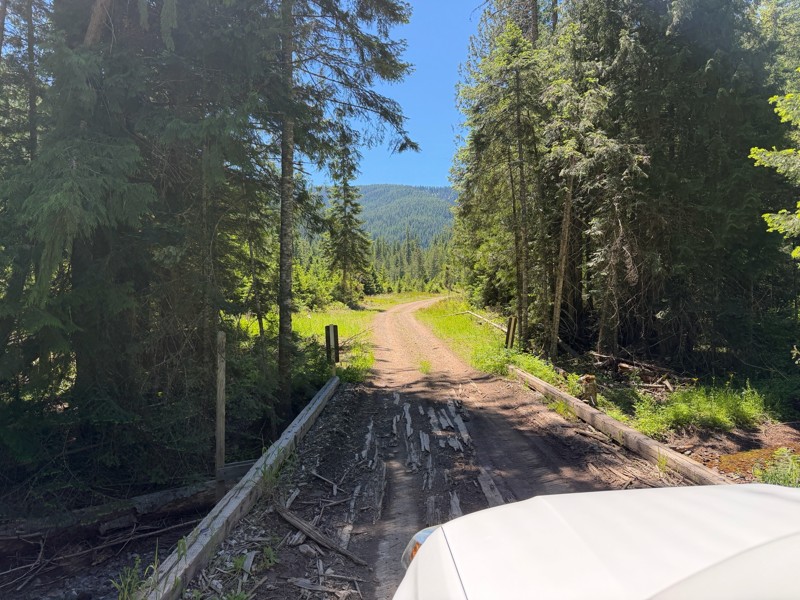
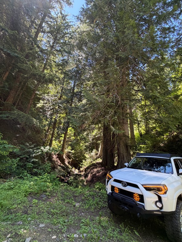
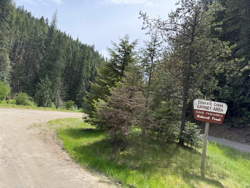
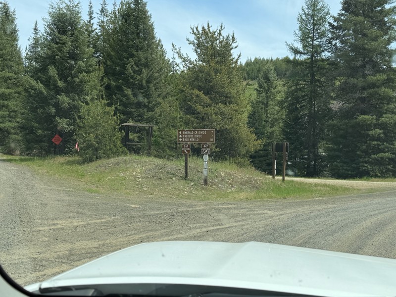
Palouse River Road
Harvard, Idaho
The Palouse River Road is an easy gravel road varying from one to two lanes wide and can be driven by any vehicle. Like many mountain roads, there are sections that are heavily wooded with restricted views and areas that are more open to the panoramic scenery. In the late spring and early summer some of the fields are tinted purple from the abundance of camas flowers! The biggest hazards along this road are blind curves, dust, and washboard. There is active logging in the area thus users should be prepared to encounter and avoid logging trucks. Along the drive, you will encounter long sections of road that wind along the Palouse River, providing a varying and exciting scenic nature for the drive. There are ample areas for dispersed camping, mainly along the river, and two campgrounds: Laird County Park on the west end and Emerald Creek Campground on the east end. Both of these campgrounds are developed campgrounds with tables, fire rings, and pit toilets. Laird Park also has a day-use area and a swimming beach.
Parts of the Palouse River Road pass through land owned by the Potlatch forest products company. They have their own rules for camping (mostly, they lease campsites to individuals), so camping on Potlatch property should be avoided. Potlatch also has a “recreational fee” for exploring off of the main road on their land, and they often check users for permits. So, be aware of land ownership and enjoy the nice drive through Potlatch property.
There are numerous signs along the road describing where you can and can’t dig for garnets. The Garnet is the State Gem of Idaho and can be “mined” by individuals in the northern part of the state. The Palouse River Road goes right through the heart of garnet mining country, and opportunities are abundant for digging for the little black gems. More information for digging for garnets in Idaho can be found via a simple internet search.
Updated: 10/15/2024
Deadwood Reservoir
Lowman, Idaho
Deadwood Reservoir is a huge engineering marvel that you wouldn't expect to find at the end of a long dirt road. The graded road passes through a nice forest until the lake suddenly appears. Since boating and camping are popular here, expect slow-moving traffic pulling boats and trailers. There are multiple campgrounds around the lake, as well as dispersed camping.
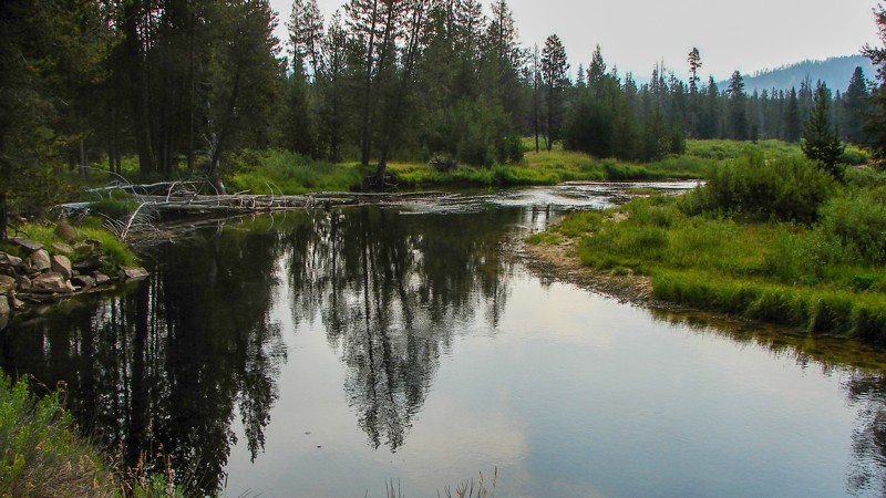
Updated: 10/15/2024
Landmark-Stanley Road
Landmark, Idaho
The Landmark-Stanley Road is an easy gravel road suitable for any vehicle. There are a few small washouts and potholes. Three campgrounds are along the road, and there are ample places for dispersed camping. Landmark-Stanley has a little something for everyone: sections of wide open meadows, picturesque streams, dense forests, and open rocky hillsides. The primary hazard is dust, which can be blinding at times.
Landmark-Stanley is one of the access routes to Deadwood Reservoir and is part of the access to Yellow Pine, Stanley, and Cascade.
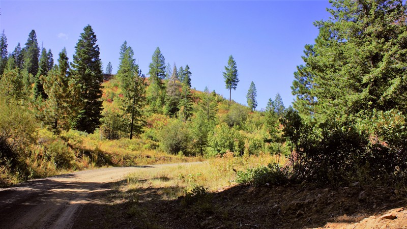
Updated: 10/18/2022
Dry Buck
Banks, Idaho
Dry Buck Trail is between the Dry Buck Valley and High Valley. The drive to either trailhead through these valleys is an experience you don't want to miss. It is recommended to make a loop from Highway 55 to Highway 55, a distance of 26 miles. Once on the trail, you'll experience the beautiful scenery this trail has to offer. There are free-range cattle throughout the trail from ranches in the valleys dating to the 1800s. Depending on the time and the season, you can experience every wild animal that Idaho has to offer. Deer, elk, bear, lion, and wolves, which all have hunting seasons starting in August. When camping, be mindful of the animals that call this forest their home and keep close watch over your children and pets.
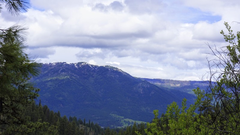
Updated: 06/05/2022
Little Anderson Creek
Banks, Idaho
Little Anderson Creek is in the beautiful Boise National Forest. The trail starts just north of Garden Valley which is noted for its large Elk population. This trail was originally used to drive cattle from Scott Mountain to market, and the logging industry brought their timber down to Horseshoe Bend until Boise-Cascade shut down the mill in 1998. Today, it's all about recreation and it's in a popular hunting area as well. During this trail write-up, elk, deer, and turkeys were spotted as well as a hunter looking for a bear. After every storm, you will encounter downed trees so be prepared to remove them or limit your time on the trail. Remember to "Stay The Trail". In most instances, you couldn't go around them even if you wanted due to the shelf nature of most of the trail. There are several no-name spurs off this trail for dispersed camping away from the main trail.

Updated: 08/28/2023
Banner Creek Road
Idaho City, Idaho
Banner Creek Road, FR-385, is a mountain ridge road offering knockout views of the Kirkham Ridge, Lowman Valley, and leads to an abandoned mining ghost town located in the central part of the Boise National Forest. WesternMiningHistory.com has a great article about the lifespan of the mining town of Banner. The Boise National Forest covers a vast 2.5 million acres ranging from forest and grassland. This trail is approximately an hour and a half from Boise and 35 minutes from the historic mining town of Idaho City. The trail descends down along Banner Creek and should connect with Pikes Fork 312, but currently ends just past the ghost town of Banner due to road conditions and washouts. There are a few dispersed campsite options on this trail as pullovers or off the road.
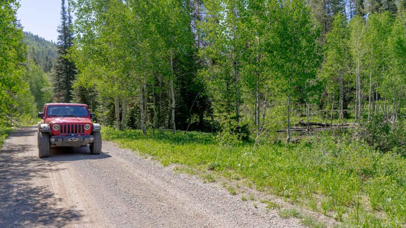
Updated: 10/15/2024
Diamond Creek Road
Georgetown, Idaho
Diamond Creek Road is a long stretch providing access to numerous ATV/UTV and hiking trails and a large dispersed camping area in the Webster Range. Much like Georgetown Canyon to the south, you'll notice beaver ponds and lodges along Diamond Creek. The vast majority of the camping is available along a 5-mile stretch in the center of this route. Some sites are individually isolated, while others are part of the Diamond Creek Camp dispersed camping area. You will also pass the Johnson Guard Station, which is a reservable cabin.
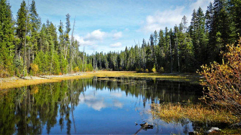
Updated: 06/05/2022
Pine Creek Meadow
Horseshoe Bend, Idaho
Pine Creek Meadow is in the Boise National Forest and south of the area known as Sagehen Reservoir. The Sagehen area, as well as this trail, are less than 2 hours from Boise making it the perfect getaway spot for a few hours of offroad wheeling and camping in one of the dozens of dispersed campsites you can find on these trails or being a bit more comfortable in one of four improved campsites at the lake. The rainbow trout fishing is fantastic due to the campgrounds closing occasionally for logging activities for fire management. This trail has a highlight feature in its own right; it has a meadow. At the halfway point in the trail, there is a small lake with the meadow extending beyond the north end. There is a fantastic camping spot right at the edge of the lake and one can only imagine the wildlife that enjoys this resource each day. This area is known for its deer, elk, bear, wolves, and cougars just to name the predators, so be aware and don't become the game.
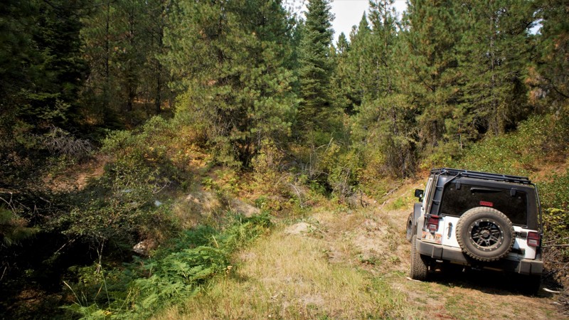
Updated: 06/05/2022
New Pine Creek
Horseshoe Bend, Idaho
New Pine Creek is in the Boise National Forest and south of the area known as Sagehen Reservoir. Sagehen and this trail are less than 2 hours from Boise making it the perfect getaway spot for a few hours of offroad wheeling, camping in one of the dozens of dispersed campsites you can find on these trails, or being a bit more comfortable in one of four improved campsites at the lake. The rainbow trout fishing will be fantastic in 2021 since the campgrounds have been closed all of 2020 because of logging activities for fire management. Beautiful bull elk can be spotted along this trail, as well as much other wildlife.
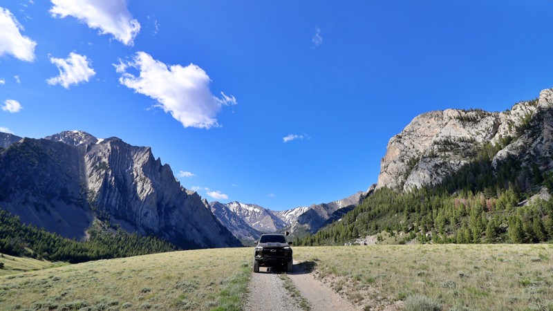
Updated: 02/12/2026
Upper Pahsimeroi
Goldburg, Idaho
Winding through the eastern slopes of Idaho’s towering Lost River Range, the Upper Pahsimeroi Road is a remote and breathtaking backcountry route often dubbed the "Swiss Alps of Idaho." This slow-going, rocky dirt road isn’t technical but does require a high-clearance vehicle. Drivers can expect occasional potholes, stream crossings, and small football-sized exposed rocks.
As you travel this lightly trafficked corridor, you’ll be surrounded by expansive alpine meadows, spruce-filled forests, and the looming presence of Idaho’s tallest peaks, such as Mount Borah, Leatherman, Church, and Breitenbach, all soaring beyond 12,000 feet. Numerous trailheads branch off the main route, offering direct access into the wilderness and to summit routes coveted by hikers and mountaineers alike.
The road is best accessed in summer or early fall, either from Pass Creek route or Horse Heaven Pass via Doublesprings. Dispersed camping opportunities are plentiful, along the East Fork Pahsimeroi River, beneath ridgelines, or tucked in beside dense forest stands. Trailers are not recommended unless they have a good suspension setup.
Wild, scenic, and serene, the Upper Pahsimeroi Road is your gateway to Idaho’s high alpine heart.
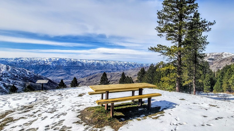
Updated: 10/15/2024
Deer Creek Road
Copperville, Idaho
Deer Creek Road, Forest Service Road 493, is an incredible drive that traverses the Nez Perce-Clearwater National Forest and Hells Canyon National Recreation Area, the deepest gorge in North America. This trail offers spectacular views of the surrounding Cold Springs Mountain Range.
Dry Creek Road runs from the small town of White Bird in the east off Highway 95 to Pittsburgh Landing in the west, which offers access to the mighty Snake River. Pittsburgh Landing has a nice campground with basic facilities and a boat launch. The fee is $15 per night.
This is an easy trail that any vehicle can handle. 4WD is not necessary. The gravel road is well-maintained but does have a couple of sharp hairpin turns alongside a sheer drop-off with no guard rail.
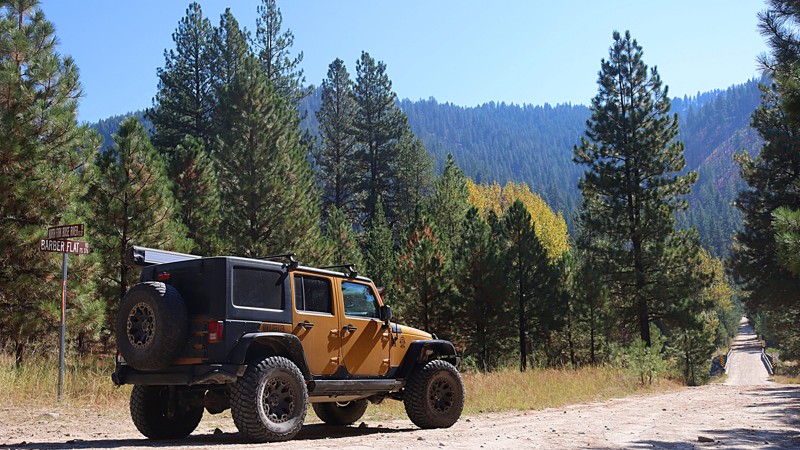
Updated: 10/15/2024
Barber Flat
Tenmile Summer Home Area, Idaho
Barber Flat - Jeep Trail 376, also known as Road Creek Road, can begin at Middle Fork Road or at North Fork Boise River Road. The trail climbs to over 5,000 feet with amazing views of the North Fork Boise River to the north, Middle Fork Boise River to the south, and the surrounding ridges. The trail is part of Section 2 of the Idaho Backcountry Discovery Route. This area has several multi-use trails for hikers, mountain bikers, SXSs, and jeeps. High clearance vehicles are recommended for this trail as there are numerous washouts and off-camber concerns. Barber Flat is a single lane with few areas to pull over for passing. Close to the top are spots for camping with plenty of room to turn around and fantastic views of the surrounding mountain range.
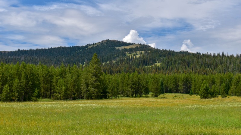
Updated: 01/20/2026
Two Top-Canyon Creek
Big Springs, Idaho
Two Top-Canyon Creek trail winds through steep mountain hillsides near Mount Two Top, reaching an elevation of 8661 feet and leading into Tygee Creek Basin. The trail ends close to the Continental Divide Hiking Trail and is just a quarter mile from the Montana-Idaho border. It's an out-and-back trail with some bumpy sections, exposed rocks, ruts, and puddles.
The trail is surrounded by lush foliage and trees, making it an ideal spot for picking mountain berries. There is one obvious campsite along the creek, offering a beautiful setting with trees for a makeshift bridge to access the hiking trail on the other side of the creek.
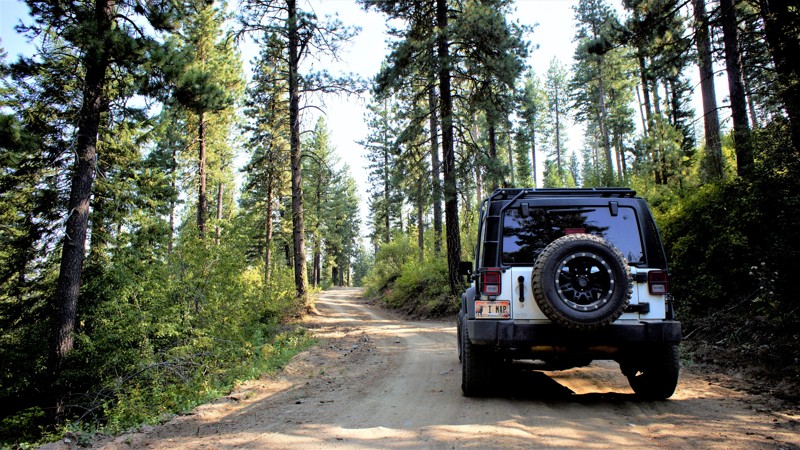
Updated: 06/05/2022
Quarry Mountain Road
Horseshoe Bend, Idaho
Quarry Mountain Road is in the beautiful and diverse Bureau of Land Managemen (BLM) forest. It is only 18 miles north of Horseshoe Bend and one hour from Boise, the state capital. Unlike the National Forests, this BLM area is also sub-managed by the Idaho Endowment Lands.
The area offers fantastic views, absent any forest fires, and is a playground for OHV and larger 4WD vehicles. The gravel road from Horseshoe Bend is an adventure as well, traversing beautiful ranch lands with their free-range cattle.
Drive with care. You will also pass "Zip Idaho" where you can zip-line through the forest. The trail itself leads to a gravel quarry by way of a spur trail with a lockable gate at that trail's end. In hunting season expect and respect hunters trailering their side-by-sides into the mountains for their annual deer or elk. While camping, be watchful for the predators. The area is home to mountain lions, bears, and wolves.
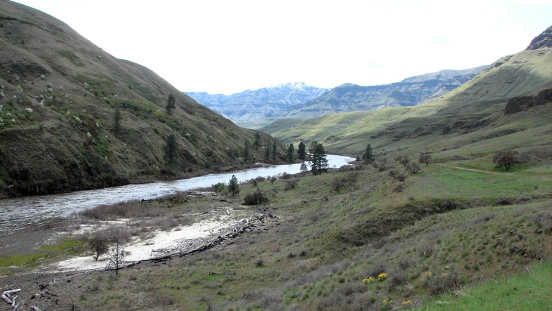
Updated: 10/15/2024
Eagle Creek Road
Zaza, Idaho
Eagle Creek Road is located within the Craig Mountain Wildlife Management Area and goes from Zaha Road down to and along the Salmon River. The first section of the road, down to the river, is a well-maintained gravel road varying from one to two lanes wide. Along this stretch, there are many significant water bars that are deep, steep, high, and with sharp rollovers on the top. Navigating these water bars without scraping requires good angles of attack, rollover, and egress.
Along the river, the second section is a minimally maintained dirt and gravel road with numerous stretches of large, sharp, loose rocks. This includes a 12-degree grade with loose, slippery rocks and might be difficult without a four-wheel drive.
The road ends at a gate with a sign saying no motor vehicles beyond that point. A short walk past the gate is the Wapshilla Airport, a dirt backcountry strip and a cabin with outbuildings.
The views of the river are somewhat limited by the narrow canyon and abundant trees. Along the lower section are magnificent views of the Salmon River and surrounding mountains. There are many nice beaches along the river. There are ample places to disperse camp along the bottom along the river. The Salmon River is a strict pack-it-in and pack-it-out area, including campfire ash and human waste. Campfires must be in enclosed fire pits, and porta-potties are required.
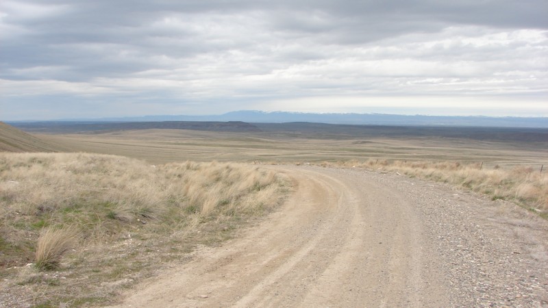
Updated: 04/25/2025
Crow's Nest Road
Hagerman, Idaho
Crow’s Nest Road is a pleasant drive through the wide-open Southern Idaho Desert. The terrain varies from slightly rolling hills, shallow ridges, rocky outcroppings, and canyons. Most of the area is open range, so beware of cattle on the road. The road is easily driven in the family sedan. For those with more capable vehicles and a sense of adventure, numerous two-track spurs ipe for further exploration lead off Crow’s Nest Road.
Crow’s Nest Road is accessed on the north from Highway 30, just south of the Snake River. Take the turn as if you were going to the ancient horse archaeological site. After a few miles, turn left onto Saylor Creek Road. When you get to the Y in the road, at the offroad motorcycle play area, veer right onto Crow’s Nest Road. The first few miles go through a large motorcycle play area with many trails going up the hills. Be careful for unwary riders on the main road!
After about ten miles, a sign indicates entry into the Saylor Creek Wild Horse Management Area. Saylor Creek HMA is over 100,000 acres and home to approximately 130 protected wild horses. It also has deer, elk, antelope, and many other wild game species. Crow’s Nest Road follows along the Saylor Creek HMA for much of its length.
Although dispersed camping is allowed in the area, no great camping spots are right along the road. There may be good spots along the side roads and trails. The developed campground at Balanced Rock Park is a few miles down the pavement from the south end of Crow’s Nest Road. Nearby Balanced Rock is worth a side trip to see one of the grandest wind-carved monoliths in the country! From the parking area, it looks big. If you walk up to it, it looks HUGE! And the views from up there are pretty spectacular.
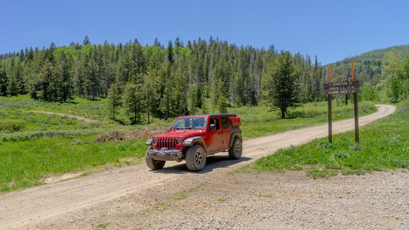
Updated: 10/15/2024
Georgetown Canyon Road
Georgetown, Idaho
Georgetown Canyon Road is a great route to take you off Highway 30 directly out of Georgetown and into the Caribou-Targhee National Forest. Heading north out of Georgetown, the trail becomes a little more scenic about halfway through, and between that point and the end of the route, you'll come across 2-3 dispersed campsites. This road also runs along a creek that beavers have done substantial work on. You can easily see their ponds and even large dens.
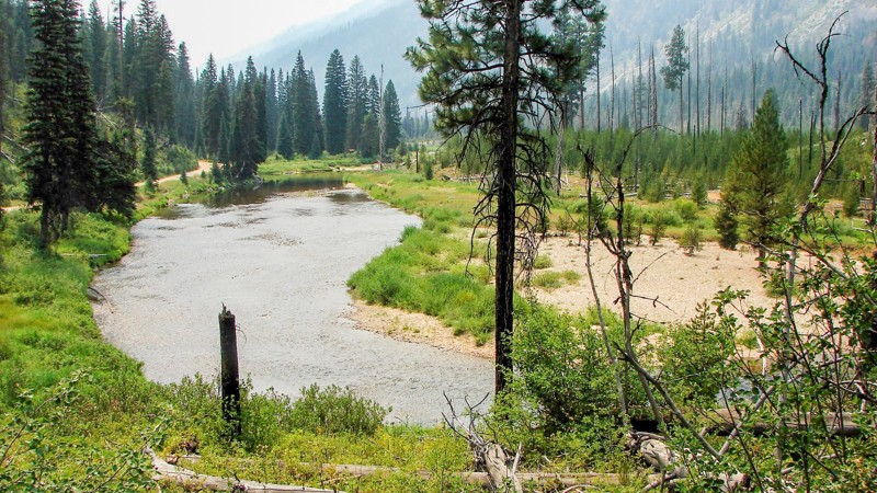
Updated: 10/30/2024
Johnson Creek Road
Landmark, Idaho
Johnson Creek Road is the southern ingress and egress for the little town of Yellow Pine, which usually has fuel, supplies, and a few restaurants. Johnson Creek is an easy gravel road suitable for any vehicle, but it is pretty dusty and has severe washboards for much of its length. While much of the road is through dense forest with few opportunities for expansive views, on the northern end, it follows Johnson Creek, and things open up considerably. Johnson Creek is quite scenic and well worth stopping to enjoy. There are multiple campgrounds along Johnson Creek Road and ample opportunities for dispersed camping in well-established sites.
The signage along the road indicates heavy truck traffic, presumably logging trucks. There are many blind curves where oncoming logging trucks could present real hazards. The only other main hazards are the dust and washboards.
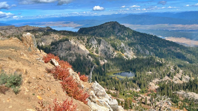
Updated: 11/15/2025
Snowbank Mountain Lookout
Cabarton, Idaho
Explore the beauty of Snowbank Mountain, also referred to as NF-446. This scenic route leads you through breathtaking alpine lakes, past an FAA radar station, and eventually to an antenna tower boasting panoramic views that stretch out over the vast expanse of Lake Cascade, extending for miles in every direction. Snowbank Mountain stands tall as the highest peak in the West Mountains range.
As you embark on this adventure, you'll find the journey smooth and well-maintained up to the radar facility, thanks to the FAA's presence in the area. Beyond the radar station, the trail becomes more challenging, with a narrower path and rougher terrain, complete with washout gullies, especially on the inclines.
Upon reaching the pinnacle, you'll be rewarded with breathtaking vistas. From this vantage point, you can admire the entire West Mountains range, catch a glimpse of the Seven Devils, and take in most of the Salmon River Mountains, including the Lick Creek Range near McCall.
You'll be spoiled for choices when choosing a spot to set up camp. Consider camping overlooking Blue Lake's picturesque surroundings, or opt for a site close to the trail for added convenience. Whichever you choose, Snowbank Mountain promises an unforgettable outdoor experience with awe-inspiring natural beauty at every turn.
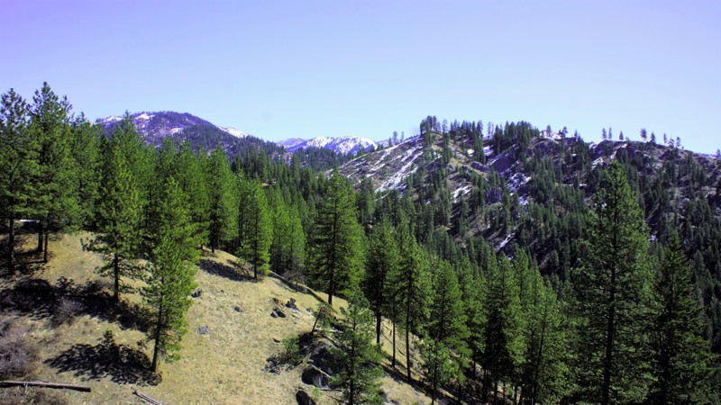
Updated: 06/05/2022
Lightning Creek
Horseshoe Bend, Idaho
The beauty of southwestern Idaho is second to none, with hundreds of off-road trails available for exploration. You'll pass through the town of Crouch to get to the trailhead, a population of less than 200 with a couple of restaurants, a market, and a hardware store. Crouch is a hub for trails like this one, plus white water rafting and kayaking on the south fork of the Payette River. You'll share this trail with other 4-bys, plus side x sides, motorcycles, elk, and deer. If you are enjoying the fantastic dispersed camping available on this trail, be cautious and careful with your children and pets.
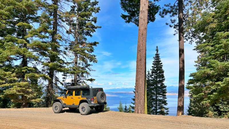
Updated: 10/15/2024
Anderson Creek
Cascade, Idaho
Also known as NF-435, Anderson Creek Road gently winds its way beside the Cascade Reservoir for at least seven miles, offering enchanting views of the lake while nestled within the vibrant evergreen and hardwood woodlands. Beginning its course at the base of the mountain along West Mountain Road, Anderson Creek Road concludes at the Four Corners trailhead. While the road may narrow in certain sections, it remains pretty accessible as a standard forest service road. There were no apparent campsites to be found along this route.
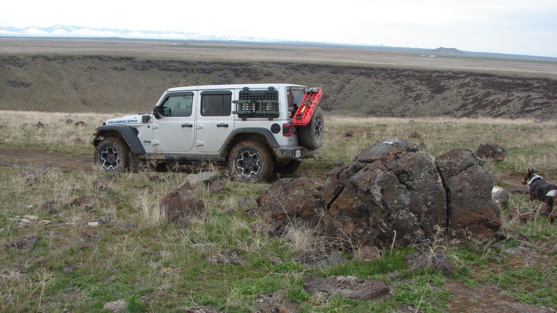
Updated: 12/02/2025
Crater Rings
Cleft, Idaho
The Crater Rings are adjacent, symmetrical volcanic pit craters in the Western Snake River Plain about eight miles northwest of Mountain Home, Idaho. The craters are at the summit of a broad shield volcano. The eastern crater is about 3000 feet across and 350 feet deep. According to Wikipedia, the western is 2500 feet across and 300 feet deep.
Although the Crater Rings are a phenomenal natural feature, many people in the area do not know about them. Crater Rings are rare enough that this area was designated a National Natural Landmark in 1980, but no signs lead to them. They are not visible from any major roads. They are well worth the visit!
The trail to the craters is not long, and getting to them is not particularly difficult. However, if you want to drive the trails around the craters, good tires and clearance are needed, as the trails are often covered with jagged, pointy lava rocks. The area around the craters is laced with side trails worthy of exploration.
Dispersed camping is allowed in the area, but no obvious campsites are along the trail.
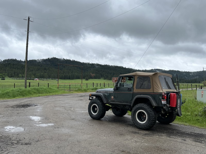
Updated: 10/15/2024
High Valley
Ola, Idaho
This trail starts in the small town of Ola, Idaho. Right after Muley's, the only restaurant in town, turn right on NF 644, High Valley Road.
High Valley is a beautiful drive up and over the mountains. Gaining and then losing just over 2,600 feet in under 20 miles makes the trip seem to cover more distance than it actually does. This trail starts and ends with a bar/restaurant at either end (Muleys in Ola and Cougar Mountain Lodge in Smith's Ferry), making for the perfect trail to run over the mountain to eat lunch or dinner from either direction. This trail leaves the sagebrush of lower Idaho and winds up through the trees. There are multiple mountain springs, ponds, and green meadows along the way.
The road is mostly a graded gravel road. But there are plenty of potholes, so be ready to slow down. There are steep switchbacks and blind corners, so the driver needs to pay attention. There are many old barns, lodgepole cattle chutes, and even some old Broncos and Jeep pickups rusting away in long-forgotten farmer's fields to entertain the people on the drive. If you are looking for an easy, sightseeing trail with plenty of along-the-road dispersed camping by burbling creeks, this is the trail for you. This trail connects to Idaho Highway 55, making this an overlander's dream of staying off the pavement while covering a lot of ground.
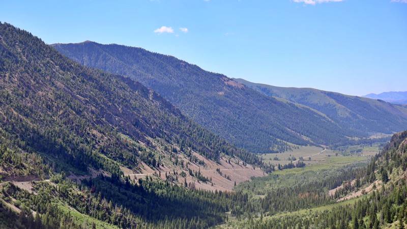
Updated: 10/15/2024
Trail Creek Road
Sun Valley, Idaho
Embark on an unforgettable journey along Trail Creek Road, a route not recommended for heavy vehicles and trailers due to safety concerns. This gravel, minimally maintained road is closed during the winter but reopens with the return of warmer weather. For those seeking a thrilling drive, Trail Creek Road offers a scenic path between Sun Valley and Big Lost Valley. Locals often use it as a shortcut to U.S. 93, providing access to Mackay and Challis, Idaho.
The road's rough, gravel surface, barely wide enough for two lanes, includes steep drop-offs and is susceptible to rockslides and washouts. It is only passable in summer, as winter snow accumulates to double-digit depths, rendering it impassable. Additionally, dirt and rock avalanches frequently damage the road during winter. Reopening the trail each spring typically requires 4-6 days of work by a dedicated road grader.
Several turnoffs along the route allow you to either set up dispersed camping or stay in designated campgrounds.
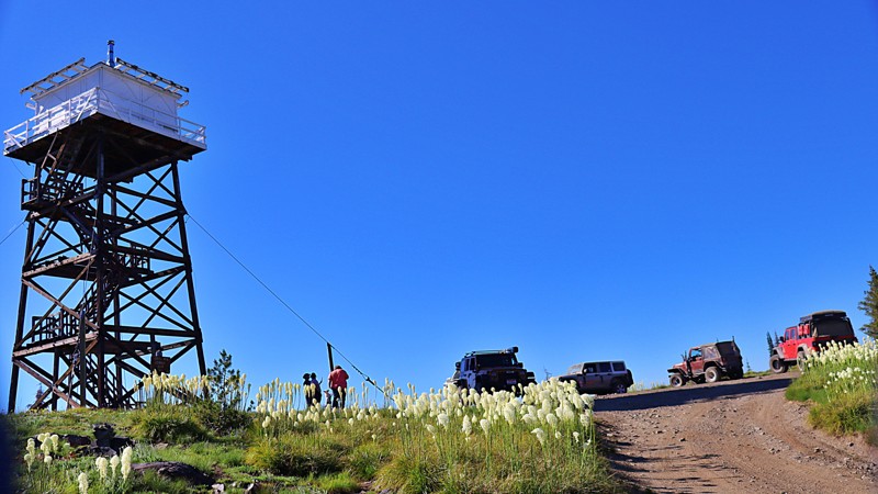
Updated: 10/15/2024
Green Mountain Lookout
Red River Hot Springs, Idaho
FSR 285A Green Mountain leads to an imposing wooden fire lookout tower on its summit. Green Mountain is a rougher trail than its access road Elk Mountain Road, it is doable with high clearance vehicles, and the views are worth it! Unlike most of this area, Green Mountain has not burned and offers stunning vistas. If you look carefully, you can spot another iconic lookout, Burnt Knob, in the distance. The tower is only used for emergency detection. You can camp at the lookout site.
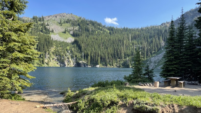
Updated: 10/15/2024
Black Lake Campground
Helena, Idaho
Black Lake Campground, nestled in Idaho's Wallowa-Whitman National Forest, is a rustic retreat for those who prefer a more primitive camping experience. With just 4 designated tent sites and one vault toilet, it's the perfect getaway for anyone looking to disconnect from the hustle and bustle of modern life and reconnect with nature.
There are several hiking trails to explore nearby lakes that aren't accessible by motorized vehicles.
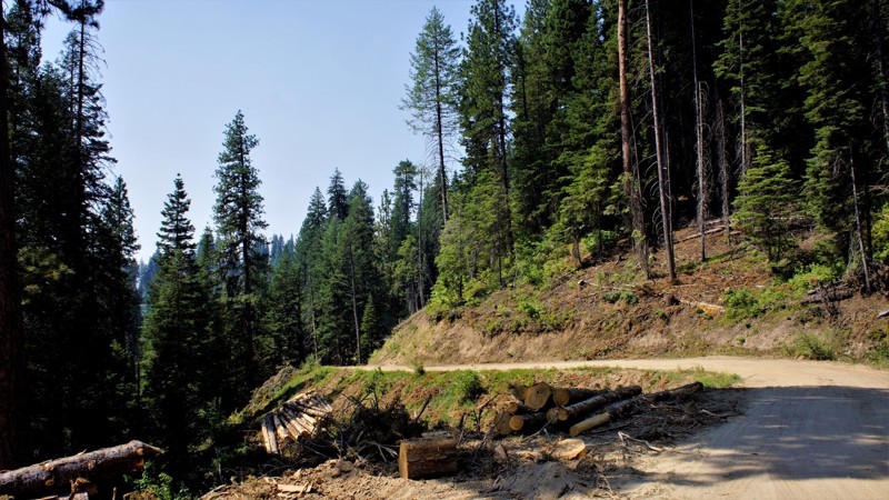
Updated: 06/05/2022
West Fork Scriver Creek
Garden Valley, Idaho
The West Fork Scriver Creek trail is located in the Boise National Forest just north of the small, rural town of Crouch, Crouch, and nearby Garden Valley serve as hubs for hiking, camping, fishing, hunting, and kayaking. The trail itself is part of a network of 4x4 trails totaling more than 100 miles for 4x4's, side x sides, and snowmobiles. Hunters will enjoy being in Unit 24 for elk, deer, bear, mountain lion, and wolf when in season. Scriver Creek Road follows Scriver Creek, which drains into the Middle Fork of the Payette River and forms the network for all of these great trails.
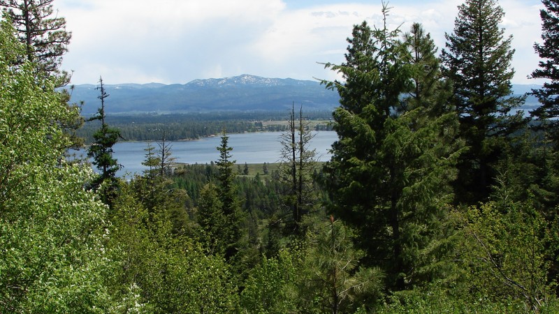
Updated: 10/15/2024
National Forest Development Road 186
Mesa, Idaho
The road starts as Middle Fork Road and then morphs into its namesake National Forest Development Road 186. It provides a crossover from just south of Council, Idaho, on Highway 95 on the west end to Donnelly, Idaho, on Highway 55 on the east end. It is a well-maintained gravel road that climbs up and over No Business Saddle just before dropping into Donnelly. There are spectacular panoramic views from the top, but in many cases, the views are blocked by the trees. The biggest hazard along the road is the combination of choking dust and blind curves and one should anticipate washboards.
Cabin Creek Campground is the only developed National Forest campground along the road; check Recreation.gov for the latest fees and open or closed status. There are also ample opportunities for dispersed camping just off the road and often right along the river when on public land.
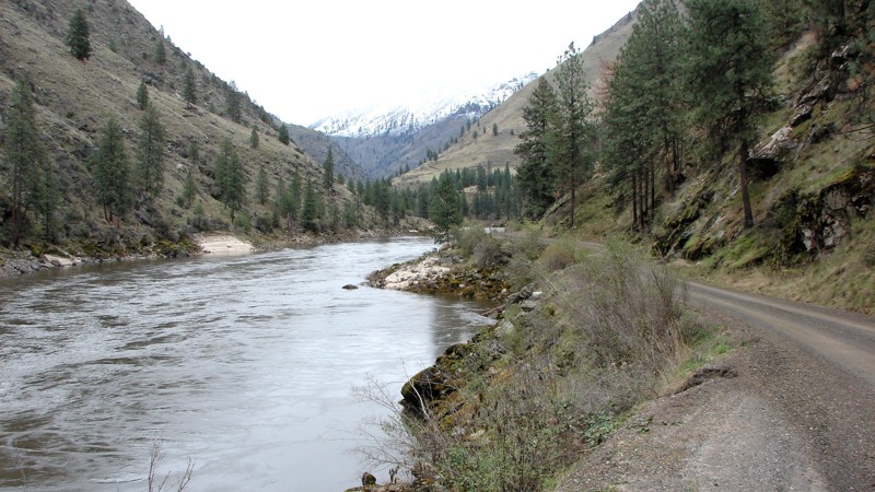
Updated: 07/13/2025
Salmon River Road
Riggins Hot Springs, Idaho
Salmon River Road starts in Riggins, Idaho, and ends at the Vinegar Creek Boat Ramp. Vinegar Creek is the furthest upstream launch point for jet boat operators entering the wilderness area. Further up the river are numerous small ranches and resorts on private property along the river. Vinegar Creek is one of the few supply points for most of those ranches, as everything has to be taken in by boat, carried in by horseback or hand, or flown into the ranches. Vinegar Creek is also the launch point for sport fishermen and other river users. As a result, it can be pretty busy, with reasonably heavy traffic along Salmon River Road.
There are two historical bridges with information boards explaining the area's history.
The road starts as a narrow paved road in Riggins. At about 12 miles, it changes to a well-maintained gravel road ranging from one to one and a half lanes wide with pullouts for passing oncoming traffic. It is primarily a shelf road with no shoulder on either side and is an almost continuous string of blind turns. The hard part of the Salmon River Road is not the road but the traffic coming towards you. Big jet boats ply the road between Riggins and Vinegar Creek. On their trailer, these boats are big enough to cover the entire road in many areas. Combined with blind turns, it makes for dangerous driving conditions.
Along the paved part of the road are several nice semi-primitive camping and picnic areas. Although dispersed camping is allowed along the entire road, it is generally not wide enough to accommodate it once it turns to gravel. The camping photo is from about the halfway point of the gravel road, the only place that can handle more than one rig.
The Salmon River cuts a deep, steep canyon through central Idaho. The Salmon River Road is one of the best places to get "up close and personal" with the river and the canyon from a wheeled vehicle. The scenery is second to none, and other than the potential for problems with oncoming traffic, the road is easy to drive and can be driven in any vehicle.
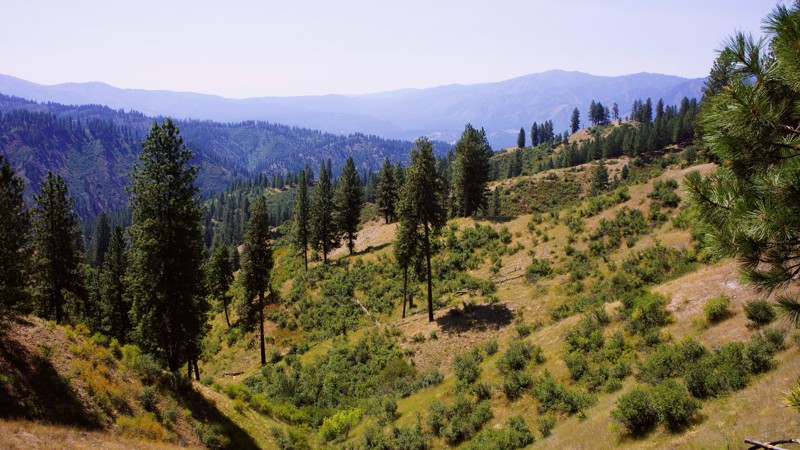
Updated: 06/05/2022
Gooseberry
Garden Valley, Idaho
Gooseberry is in the Boise National Forest in the mountains separating Garden Valley from Crouch. Because of Idaho's Forestry Management policies, it offers the most spectacular views into both of those valleys below you when up on the ridge. Both areas are noted for their wintering elk and sleigh rides. The trail starts on BLM and private property, so be respectful and watchful for others. There are several spurs to explore, including the Cow Creek Spur, which takes you to Garden Valley. Most of the trails in this area are well-traveled, which is a good thing, but sometimes you may want to tread where others don't? This trail offers that opportunity after the Cow Creek Spur. The forest offers camping, hiking, hunting, and 4-wheeling. This area, north of Crouch, offers 100s of miles of trail to explore on both sides of the Payette Rivers Middle Fork. If you camp, be alert to the fact that this forest is home to bear, mountain lions, and wolves, so keep close watch over your children and pets.
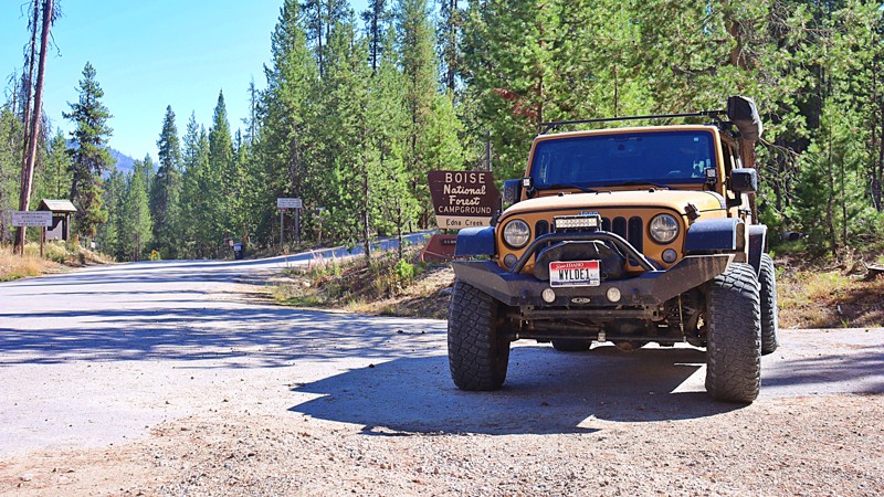
Updated: 10/15/2024
Little Owl Creek
Tenmile Summer Home Area, Idaho
Little Owl Creek, also known as Edna Creek and Crooked River, is an automobile-friendly forest service trail that can begin at State Highway 21 north of Idaho City or at North Fork Boise River. This is one of the main roads to access fishing, hiking, horseback riding, SXS, offroad bike, jeep trails, historic mining claims, and existing mining claims. There are two developed campgrounds off the trail, Edna Creek Campground and Willow Creek Campground. There are also plenty of choices for more private dispersed camping.
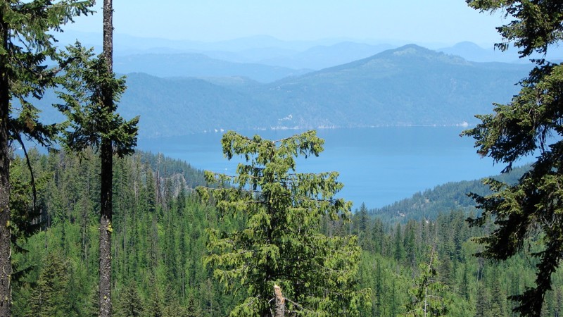
Updated: 06/15/2026
Bunco-High Drive
Belmont, Idaho
Bunco-High Drive is one of the longest continuous routes in the Idaho Panhandle National Forest and ranks among the most scenic. Spanning from near Highway 95 to the Clark Fork area, this route offers a wide variety of terrain, forest landscapes, and recreation access along its length.
The first 40 miles, starting from Highway 95, range from well-graded two-lane gravel to narrower single-lane dirt sections. Numerous pullouts make it easy for vehicles to pass, and most of this stretch can be driven with a vehicle that has moderate ground clearance. Dispersed and established campsites are scattered throughout this portion of the road.
The final 10 miles, beginning near Dry Creek Road (FS 203), become much narrower and more overgrown. Pinstriping from brush is likely, and several downed trees have been cleared just enough to allow passage. Higher ground clearance is recommended for this section, though drivers can bypass it by turning off at FS 203 and descending to Clark Fork.
Bunco-High Drive also connects to multiple side roads and trailheads, though many spurs require more capable vehicles. Hiking opportunities are available along the way, offering a chance to step out and enjoy the forest from a different perspective.
While the route is largely accessible, drivers should watch for small but deep potholes that can be hard to see when sunlight filters through the trees. There are also minor washouts and rocky patches where the roadbed has worn thin. Overall, Bunco-High Drive provides a scenic, lightly challenging journey that rewards drivers with sweeping views and quiet forest solitude.
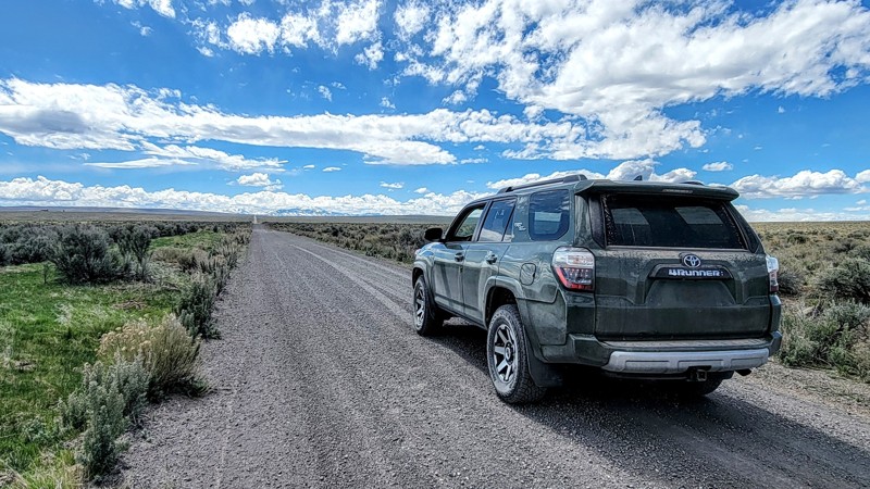
Updated: 10/15/2024
Clover Three Creek Road
Hot Springs, Idaho
Clover Three Creek Road runs from just south of Mountain Home in the north to Three Creek Road in the south, just above the Nevada border. This trail traverses through BLM land, so dispersed camping is available away from the road.
Along the road, the vegetation is scarce, and the land is barren, which is nice because you’ll see amazing views of the Sawtooth Mountains in the north and the Owyhee Mountains in the southwest. You can also see the Bruneau River Gorge.
Three miles from the trail's north end is the Bruneau Canyon Overlook, which offers stunning views of the river canyon.
The road itself is a wide, double-lane gravel road in good condition. Any vehicle can take this trail. However, it is an open range, so beware of livestock on the road.
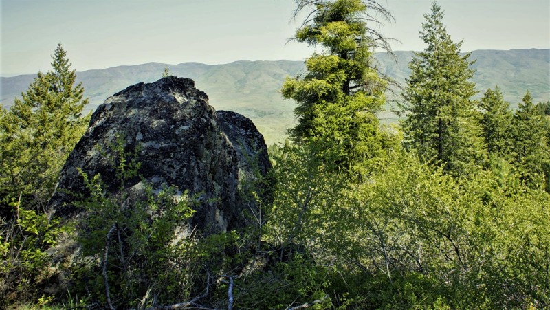
Updated: 10/18/2022
Ola Slope
Horseshoe Bend, Idaho
644A Ola Slope is in the Boise National Forest about 5 miles east of the "town" of Ola. With an elevation over 5,000 feet, you will experience all of the seasons southwest Idaho has to offer. This trail is in hunting section 32A so be respectful and cautious of others who might be in the area. When leaving the vehicle be aware of the fact that you are in a wild area including the presence of bears.
This trail writeup was done in mid-May and still showed traces of winter with snow on the northern slopes. No other persons or vehicles were observed during this beautiful drive through the forest, it's meadows and occasional creek crossings.
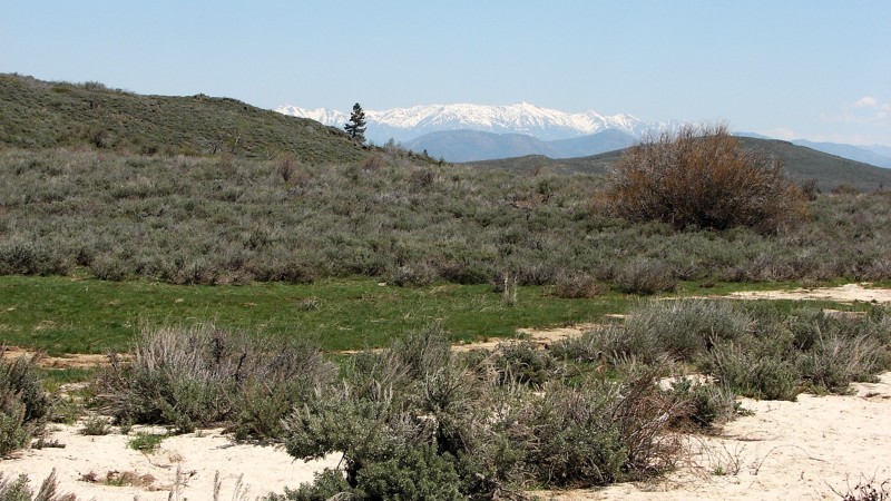
Updated: 10/15/2024
Bennett Mountain Road
Castle Rocks, Idaho
Bennett Mountain Road goes over the top of the Bennett Mountain range north of Mountain Home, Idaho. On the north, it starts from Highway 20 on the south side of Cat Creek Summit. The road sign along 20 actually calls it Cat Creek Road, but the forest service calls it Bennett Mountain Road and National Forest Development Road 156. At the south end of the designated route, the road becomes paved and can be followed to near Glenn’s Ferry, Idaho.
Roads crossing mountain ranges tend to have spectacular views; Bennett Mountain Road is no exception. The views of the peaks above the road, the Sawtooth Mountains to the north, and the Snake River Plain to the Owyhee Mountains in the south make this a spectacularly beautiful road to travel! The road itself goes through stands of aspen and birch mixed with open grassy meadows and areas of sagebrush, making the roadside scenic and interesting to complement the longer views.
It is a seasonally well-maintained gravel road that can be driven in any vehicle. It is minimally maintained in winter and is often blocked by snow. Wash-boarding of the road surface is likely to become a problem later in the summer. Dispersed camping is allowed along the road where it crosses public land. Please be aware that there are in-holdings of private land that must be respected.
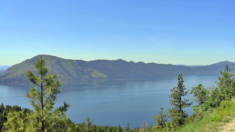
Updated: 03/09/2026
Johnson/Lakeview Road
Clark Fork, Idaho
Johnson/Lakeview Road #278 unfolds as a scenic, offroad route that winds its way through the wild heart of northern Idaho toward Johnson Creek near the Clark Fork River. This dirt road, offering a mix of easy to moderate terrain, is a favorite among backroad explorers looking for a laid-back drive with just enough rugged charm to keep things interesting.
The trek begins with broad, navigable sections suitable for high-clearance vehicles, even larger rigs, although some stretches are narrower. The further you travel, the more remote it feels. The road meanders through dense pine forests, over rolling ridges, and past open meadows, gradually gaining elevation on the eastern shore of Lake Pend Oreille.
Along the way, you'll find a web of narrow offshoot trails perfect for dirt bikes and ATVs, making this a hub of OHV recreation. The area is also rich in outdoor opportunities: fishing, hiking, and recreational mining are all popular pastimes. While there were no visible campsites beside the trail, dispersed campsites can be found tucked among the spurs and offshoot trails.
As you continue southeast, the road offers stunning views of the surrounding hills and mountains, with occasional panoramic glimpses of Lake Pend Oreille sparkling through the trees in one of Idaho’s most peaceful and scenic corridors.
Although Johnson/Lakeview Road is technically open year-round, it is best traveled from late spring through fall, as snow and ice can make the route impassable in the winter months. Whether you're out for a weekend of dispersed camping, a quiet lakeside escape, or just a beautiful drive through Idaho's backcountry, this trail delivers a memorable blend of solitude, scenery, and adventure.
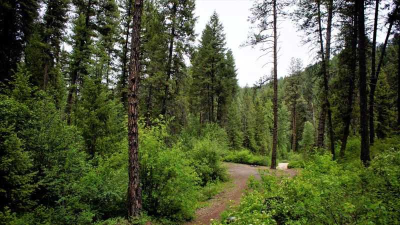
Updated: 06/05/2022
Bunchs Creek
Garden Valley, Idaho
Bunchs Creek FS615A Trail is in the beautiful Boise National Forest. It is mid-way between Placerville to the south and Garden Valley to the north. Placerville is a border-line ghost town from the 1800s and it's by-gone mining and logging prosperity. Garden Valley, with the south fork of the Payette River running through it, is internationally known for its white-water kayaking. It is also a major ranging area for thousands of Elk. The trail itself is well known to campers and hunters alike. The foliage and forest canopy of this trail has to be experienced to fully appreciate the beauty you will see from this trail.
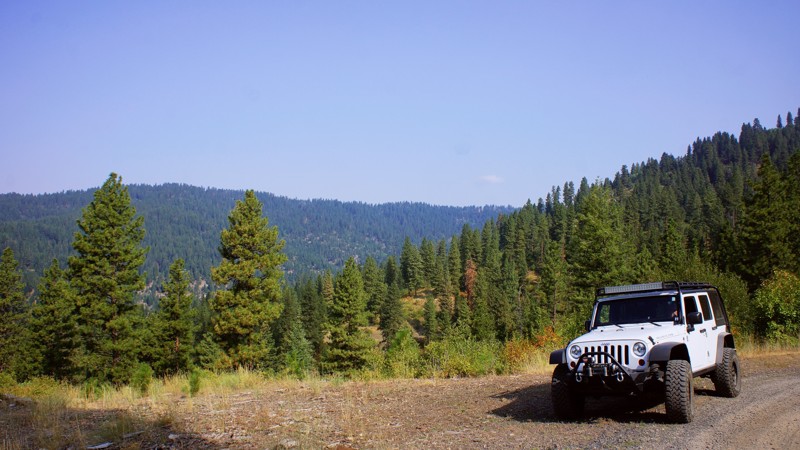
Updated: 06/05/2022
Dry Buck Ridge
Banks, Idaho
Part of the adventure of running the Dry Buck Ridge Trail is the 7-mile drive from Banks, where you will climb 1500 feet on a shelf road to arrive at the Dry Buck Road and Valley. The remaining time to the trailhead is through the beautiful valley and meadows of the Lazy R Ranch. The Lazy R has been a working cattle ranch since the 1800s. It borders this trail to the south and operates as a guest ranch for lodgings, weddings, hunting, and horseback riding. The trail is a camping paradise with several large and open sites with fire rings. You'll experience the feel of a cattle ranch as you navigate by many open-range cattle with their spring calves and enjoy the views down to the Payette River, 3,000 feet below. You'll experience the value of Forest Management driving through the thriving Aspens, Oak, and Ponderosa Pines. This trail will be a favorite, not soon to be forgotten.
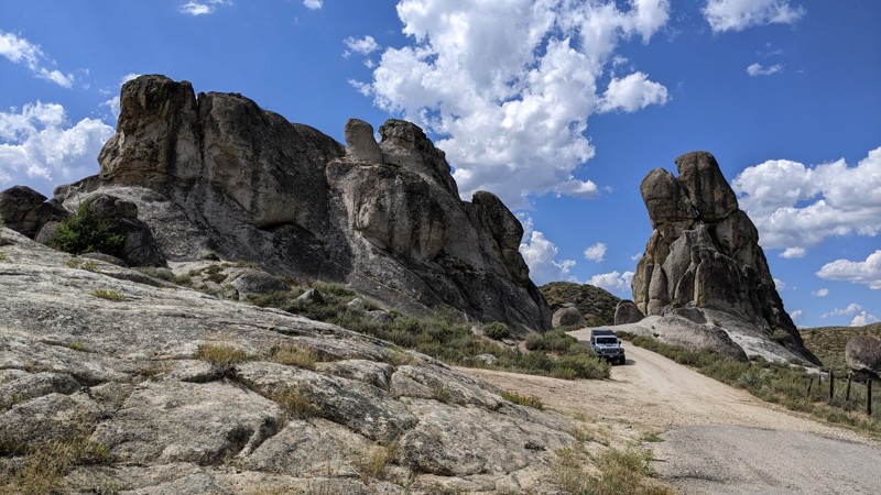
Updated: 03/09/2026
Castle Rock Road
Castle Rocks, Idaho
Castle Rocks Road is an interesting and scenic byway accessed from Highway 20 north of Mountain Home, Idaho. Taking the byway is almost the same number of miles as staying on the highway, but slower and much more scenic! The surface is good sand and gravel and is open to any automobile when dry and maintained. However, in the early spring and after heavy rain, the road can get serious washouts that may cause problems for the family sedan.
The large rock formations were formed millions of years ago by granite pushed upward into the softer surface materials. Over geologic time, the softer material eroded, leaving the magnificent granite outcroppings for which the area is named.
The surrounding land is part public and part private. Dispersed camping is allowed on public land. There is one reasonably nice dispersed camp area in a small clearing just east of where the road passes between the two tall rocks.
If traveling along Highway 20, Castle Rock Road is a pleasant diversion from highway driving.
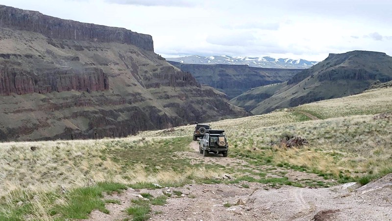
Updated: 10/15/2024
Black Rock Crossing
James Place, Idaho
3717 Black Rock Crossing begins at 366/037 Rowland Route Road and weaves eastward across the J-P Desert, offering stunning views of the canyons along the Bruneau River. From the west side, the trail is rugged, with rocky terrain that sometimes narrows, crumbles, and goes off-camber. Negotiating around fallen boulders might pose a challenge for full-size vehicles. A couple of homesteader graves are at the river's bottom, and a crossing spot to the opposite side, where a stone barn stands. Crossing the river in spring is likely impossible due to high and fast water levels. It's best to tackle the entire trail during the summer months. Black Rock Crossing continues its journey up the canyon, culminating near the Nevada border. While there were no discernable dispersed campsites, there was space in a few areas to pull over and set up camp.
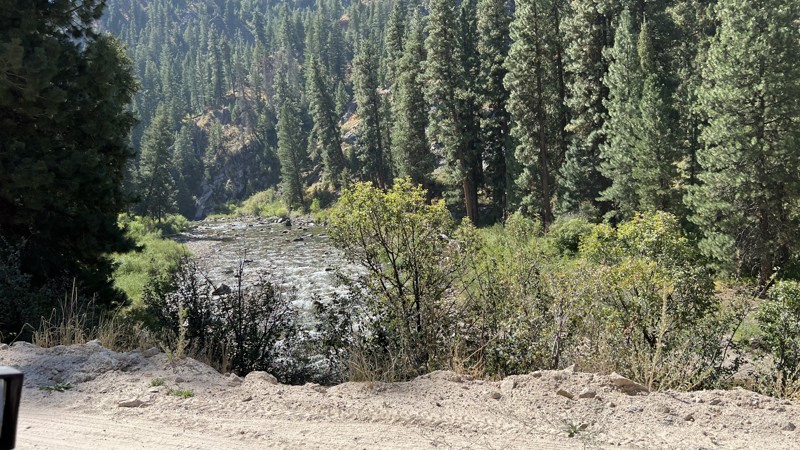
Updated: 11/30/2025
Baumgartner Hot Springs
Featherville, Idaho
Take a leisurely drive up a graded forest service road to a hot springs and campground. After leaving Featherville, Idaho, head up along the picturesque river with plenty of dispersed camping spots right along the river.
On busy weekends, like Memorial Day, 4th of July, or Labor Day, be aware of lots of oncoming traffic and dust. Also, there are houses and cabins along the route, so be ready to slow down and take your time around the population, but also be looking for deer, elk, and hawks along the route. There are tons of photography and wildlife viewing opportunities along the the route.
The road itself is not difficult but the trip is worth it for the beauty.
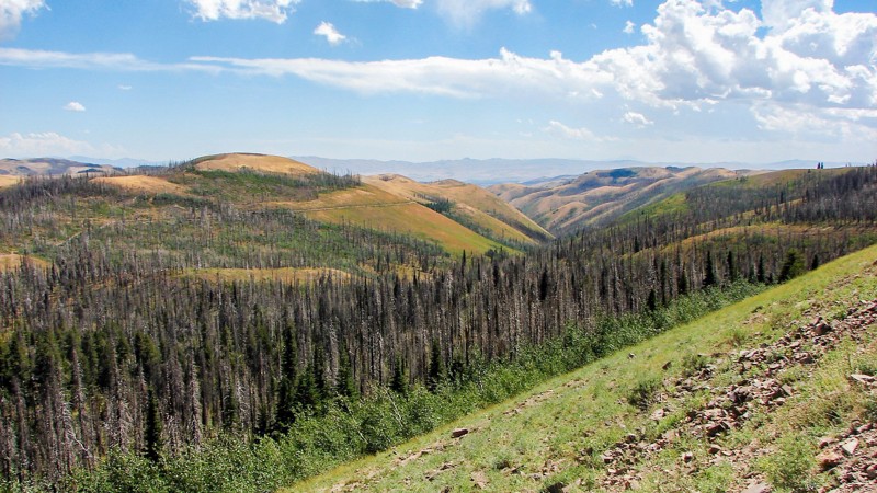
Updated: 10/15/2024
Oakley Rogerson Road
Oakley, Idaho
The Oakley Rogerson Road completely crosses the south unit of the Sawtooth National Forest, often called the South Hills, primarily on FS 500 but with short sections on FS 533 and 538. It is the primary east-west access across. The road starts outside the Forest near Oakley and continues outside the Forest near Rogerson. Near the middle of the trip is the Rock Creek Recreation Area, which includes the Magic Mountain Ski and Diamond Field Jack Snowmobile Areas. Due to heavy traffic, a short section between Magic Mountain and Diamond Field Jack is paved. The rest of the road is good gravel, easy to drive, and suitable for any vehicle.
Except for a short section near the Rock Creek Recreation Area, dispersed camping is allowed, and there are many available sites. Several campgrounds are along the road, with tables, fire rings, and pit toilets available. One of the more exciting and unique areas near the west end of the road is the Home of the Hummingbirds, where local volunteers hang hundreds of hummingbird feeders, and there are often several hundred hummingbirds in the area feeding on the provided nectar!
As one climbs into the National Forest, the flora changes to aspen, pine, and fir stands interspersed with the sagebrush desert. Much of the road is at a relatively high elevation, which provides spectacular panoramic views. There are a few areas of private property inholdings that must be respected.
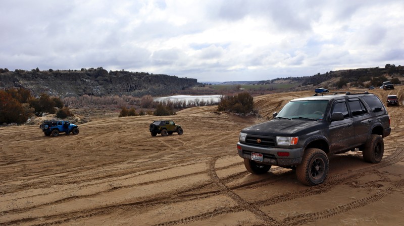
Updated: 10/15/2024
Lake Channel Sand Dunes
Quigley, Idaho
If you like sand, I've got a great place for you to check out. This is the Lake Channel Sand Dunes area managed by the Bureau of Land Management Idaho Falls region. While getting into and out of this bowl of sand can be challenging, the sand itself can offer easy to difficult tracks to choose from. Reaching and exiting the main area of sand requires traversing some rock ledges or steep sandy hills.
This area also offers a nice view of Bonanza Lake and can be reached from Lake Channel Road. It also has a few established camping spots with fire pits and shaded, level spots to post a tent.
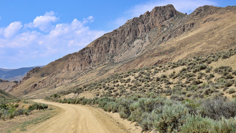
Updated: 07/21/2025
Spar Canyon
Dickey, Idaho
Spar Canyon Road showcases the high desert beauty of the Challis region, providing smooth access to a network of OHV trails. Though unpaved, the road is well-graded and comfortable, especially beyond the rocky sections near the highway. Along the route, you'll find plenty of spur trails, occasional cattle traffic, and possible wild horse sightings. The journey takes you through small rock canyons with stunning views at every turn. The road serves as the primary access for the Northern Boulder Mountain peaks and can be reached from US-93 to the east or East Fork Salmon River Road to the west. Be mindful that it is not maintained in the winter and can be challenging in wet or snowy conditions due to potential flash floods.
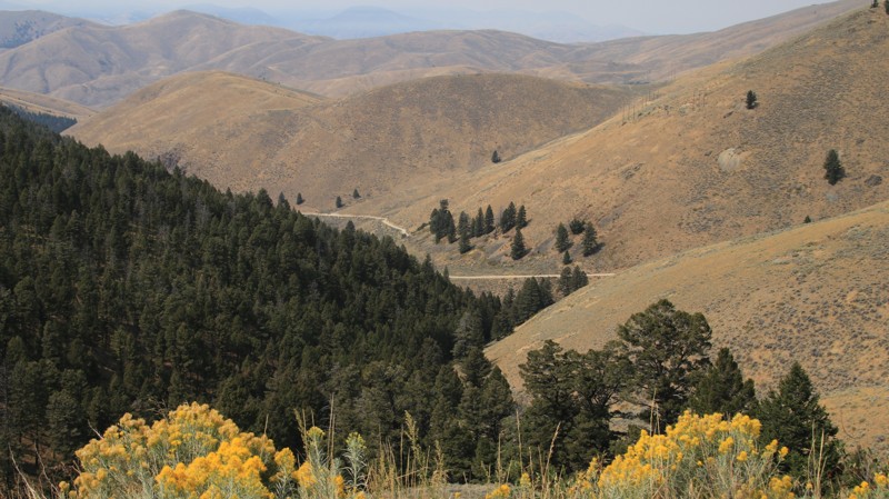
Updated: 10/15/2024
Lemhi Pass
Tendoy, Idaho
Lemhi Pass, also known locally as Agency Creek, climbs from the Lemhi Valley to the Lemhi Pass through the Salmon National Forest. The mostly wooded drive follows Agency Creek to the Continental Divide. Water on the east of the divide flows to the Atlantic Ocean. Water on the west ends up in the Pacific. The road is fairly tame except for the very steep climb of the last two miles. RVs and trailers are not recommended, but almost any other vehicle could drive the trail.
Agency Creek Campground is about 4 miles from the lower end of the road. It is free, can accommodate multiple vehicles, and has pit toilets, fire pits, and picnic tables. It sits beside the creek. There are also multiple dispersed campsites higher up the trail.
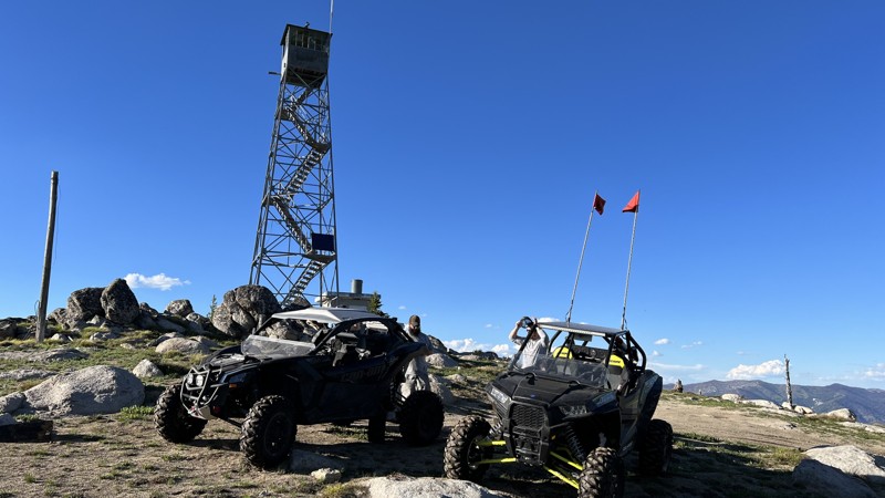
Updated: 10/15/2024
Bear Valley Lookout
Landmark, Idaho
Take a classic, high-elevation trip to an old 1914 Fire Lookout Tower. Bear Valley Lookout offers incredible 360-degree views of the Salmon River area. At the top of the trail is an awesome lookout tower that is no longer in use. Imagine being stationed up there.
The trail climbs to 8300 feet, so snow and fallen trees are always an issue early in the summer. There can be times you are climbing four-foot snow drifts on the 4th of July. Even though the trail can be rocky and gains close to 2000 feet of elevation in four miles, the trail is actually quite pleasant, with only a few spots of rocks exposed to drive around for stock four-wheel-drive vehicles.
The trail switchbacks and winds through an area of burned timber, open views, and heavy timber, giving a great variety of sights. Deer, elk, moose, and other animals are visible from the trail.
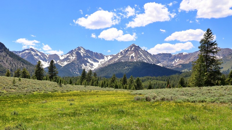
Updated: 10/15/2024
North Fork Big Lost River
Sun Valley, Idaho
The North Fork Big Lost River Road lets you experience stunning river and mountain scenery. This scenic trail runs parallel and provides access to the Jim McClure-Jerry Peak Wilderness, with several hiking trailheads. The road is well-maintained until the final mile, transforming into a primitive grassy trail with ruts from wet weather driving. While this section can be impassable during wet conditions, it offers breathtaking views of the White Cloud and Boulder Mountains. High-clearance vehicles are recommended for this last portion, while passenger vehicles and RVs can comfortably navigate most of the road. Numerous turnoffs provide ideal spots for RV-dispersed camping, perfect for immersing yourself in nature's beauty.
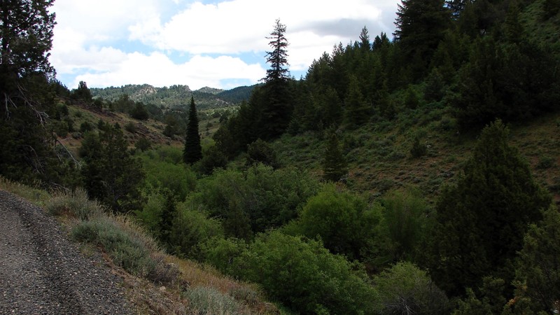
Updated: 09/04/2025
Trout Creek Road
Jordan Valley, Idaho
Trout Creek Road is a fairly easy gravel road connecting Silver City, Idaho, with Jordan Valley, Oregon. The east portion of the road has numerous potholes and a few rocks and requires moderate ground clearance but not 4WD. The west section is a well-maintained gravel road. While the potholes are mostly well-rounded, some of them can be quite deep and, depending on timing and weather, full of water. Other hazards along the road are dust and, particularly on the eastern section, blind curves. Dispersed camping is available along the eastern part of the road with many attractive sites. Care should be taken to avoid camping on private land.
The entire area is rich in mining history, and Trout Creek Road passes three areas where old mining structures are still visible. Unfortunately, the structures are on private land, but they can be viewed and enjoyed from the road.
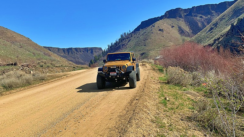
Updated: 10/15/2024
South Fork
Reclamation Village, Idaho
South Fork is a beautiful drive along the South Fork Boise River and starts at the top of Anderson Ranch Dam. The South Fork Boise River is very popular for trout fishing and whitewater rafting. Several dispersed campsite areas, some with established fire rings and pit toilets, and others with only stone fire rings. A point of interest is the historical Reclamation Village, where workers and their families lived during the construction of the Anderson Ranch Dam (1941-1950). Japanese-Americans interned at the Minidoka War Relocation Center near Twin Falls were used during WWII labor shortages.
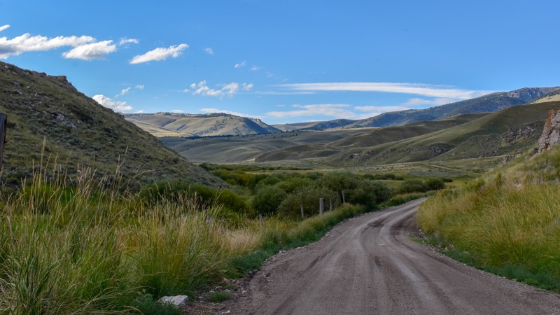
Updated: 10/15/2024
Medicine Lodge Road
Dubois, Idaho
Medicine Lodge Road begins less than 10 miles from Dubois, Idaho, off I-15, offering a welcome escape from the busy interstate. This trail and its connectors allow for over 100 miles of mostly dirt road, connecting to Bannack State Park outside Dillon, MT. The journey along this route is marked by striking near-vertical rock bluffs, showcasing unique geological formations and a bison farm, which is always neat.
As the road winds through the landscape, it reveals a variety of scenery, from rolling hills to open country vistas. The terrain features neat rock formations, adding an element of natural artistry to the surroundings. The lush greenery in the valleys contrasts beautifully with the rugged cliffs and open plains. Wildlife sightings are common, with deer, antelope, and birds of prey often spotted along the way.
This route and the connecting trails to the north offer a fantastic alternative for those looking to avoid paved roads. It's an excellent choice for adventurers seeking solitude and the beauty of Idaho's diverse landscapes.
There was no obvious sign of camping along this trail, but plenty of sites are available further north along Bannack Pass, South Medicine Lodge Road, and Big Sheep Creek Road.
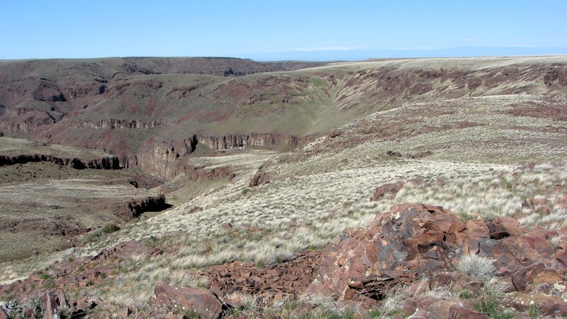
Updated: 10/15/2024
Jack's Creek Road
Comical Turn, Idaho
Jack's Creek Road goes west from Pipeline Road and follows the south side of the Little Jack's Creek Wilderness Area. It includes one cherry stem road into the wilderness that provides access to the deep canyons. Once it leaves the edge of the wilderness area, Jack's Creek Road winds through the sagebrush steppe and emerges on Mud Flat Road, aka the Owyhee Back Country Byway.
Along the wilderness area, the road crosses several narrow, steep gullies. These sections are covered in loose rock or gravel and are steep enough that 4WD is needed. West of the wilderness area, the road gradually improves until the last several miles are a nice, two-lane gravel road. The hardest part of the trail is one of the gullies near the east end of the road. There are several similar gullies both on the main road and on the cherry stem road.
The gullies were formed as tributaries to the river's main canyon and offer interesting views up and down the gully. Several gullies have nice grassy bottoms that would be nice places to hike to get additional views of the rock formations and cliffs.
Dispersed camping is allowed throughout the area. The most likely places are wide spots in the road where an overnight camp could be set up. Better camp locations may be on the side roads leading off Jack's Creek Road.
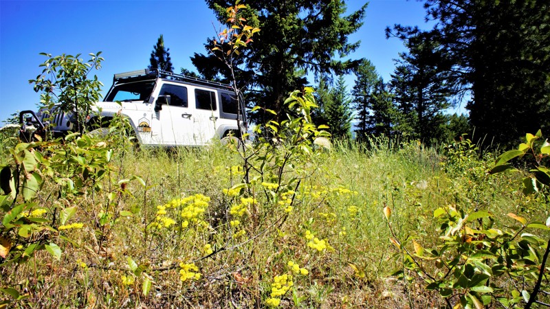
Updated: 06/05/2022
Wash Creek Ridge
Garden Valley, Idaho
Wash Creek Ridge is in the beautiful and diverse Boise National Forest. The trailhead is very near Garden Valley, home to a huge herd of elk in the winter. The South Fork of the Payette River is even closer and offers camping, hot springs, and internationally renowned Kayak competitions.
At the trail's end, you are very close to Mineral Mountain Road which will lead you to the almost ghost town of Placerville. A booming mining town in the 1800s Placerville today has a population of 55. Some research of the area will reveal several gold mines in and around Mineral Mountain.
The trail travels through beautiful pine trees and grasses along the ridge between Wash Creek and Alder Creek Road. Both the trail and the area are great for wheeling, hiking, hunting, and camping.
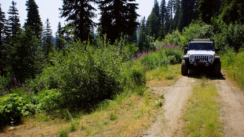
Updated: 06/05/2022
Middle Fork Scriver Creek
Garden Valley, Idaho
The Middle Fork Scriver Creek Trail is in the beautiful and diverse Boise National Forest. This trail is one of the several "Scriver" trails that make up this network for off-roading. It is less than 2 hours from Boise, and the three dispersed campsites on this trail are fantastic. You can do a quick out and back and spend less than 3 hours testing out some new modification on your rig, or stop for a picnic lunch, or set up camp for up to 2 weeks to enjoy nature, hike, hunt, or relax and do nothing. Remember, every wild animal this State offers is in this forest, so be aware and alert and respect their home.
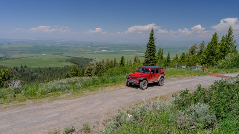
Updated: 10/15/2024
Grandview Main
Clementsville, Idaho
Grandview Main seems to be aptly named apexing at a viewpoint overlooking the valley below. Before entering the Caribou-Targhee NF, you'll first cross the Pony Creek Ranch. Signage is posted noting the private property. Respect their boundaries as you pass through. There are 2-3 noticeable campsites on this road, with two of them being only large enough for one vehicle. The trail is easy, although not quite as maintained as others in the area.
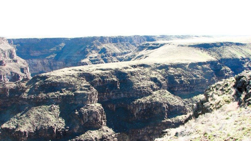
Updated: 10/15/2024
Blackstone/Grasmere Road
Hot Springs, Idaho
In many ways, the Blackstone/Grasmere Road is three separate roads with a single designation. The northern 15 miles and the southern four miles are well-maintained gravel roads ranging from one to two lanes wide. These sections are easy to drive with almost any vehicle. At about 15 miles from the north end, the road suddenly becomes a marginally improved two-track with areas of loose rock, sharp rocks, rocks to crawl over, gullies to navigate, and washouts. This center section is moderately difficult and requires a high clearance vehicle with good tires. About four miles from the south end of the road turns back into a well-behaved two-lane gravel road.
The road parallels the Bruneau River Canyon for much of the northern section. Numerous side roads and trails end on the canyon rim, offering spectacular views of one of nature's greatest works. The side trail depicted requires only moderate ground clearance and ends at a three-way canyon intersection. It is one of the most magnificent and scenic places along the entire Bruneau River Canyon!
Some other side roads and trails are equally easy, while others require a more capable vehicle with significant ground clearance.
The Bruneau River Canyon is a Wilderness Area. The wilderness designation includes the bottom, the canyon walls, and a short distance past the top of the walls in most areas. At the canyon end of the side roads, a marker designates the start of the wilderness area. Markers may be damaged or missing. A good rule of thumb is to not drive near the edge to keep your vehicle out of the wilderness area.
All of the public land along the road is open for dispersed camping. The end of the side road depicted is one of several options for setting up overnight—but don't sleepwalk!
The north trailhead of the Blackstone/Grasmere Road is accessed off of Hot Springs Road south of Bruneau, Idaho. There is no sign designating the road's name. The south trailhead is on Highway 51 at mile marker 37. There is a sign identifying it as Blackstone Road.
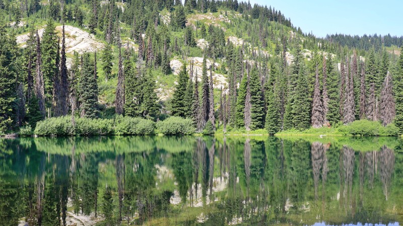
Updated: 10/15/2024
Rocky Ridge Lake
Musselshell, Idaho
Nestled in the serene wilderness of the Nez Perce - Clearwater National Forest, Rocky Ridge Lake Campground is a hidden gem along the historic Lolo Motorway. This trail is easy, but embedded rocks provide a bumpy ride, so higher clearance vehicles are recommended. Enveloped by towering pines, this tranquil retreat offers a harmonious blend of solitude and natural beauty. Each of the five campsites is equipped with a picnic table and an established fire ring. The sites are best suited for tents, as the road and campground are not recommended for RVs or trailers. The campground also has a pit toilet. With the soft whispers of the trees and the gentle lapping of water as your soundtrack, Rocky Ridge Lake Campground provides a peaceful escape for nature lovers, offering a refreshing retreat into nature’s embrace.
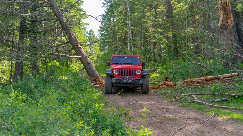
Updated: 09/30/2025
Lower Farnes
Herbert, Idaho
Lower Farnes is a narrow, out-and-back trail, spurring off Upper Farnes. This road is likely popular with hunters or perhaps snowmobilers, as there are no campsites along this road. But orange diamond signage is posted along the route. Keep an eye out for free-range cattle grazing in the area. The moderate rating is due to rutting on the trail from water and the narrow width. Per the MVUM this road is seasonally open from 07/01-9/30.
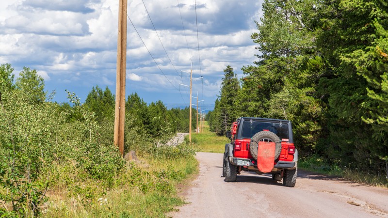
Updated: 10/15/2024
Sheep Falls
Warm River, Idaho
Sheep Falls is a popular trail and required to reach the hiking trailhead for Sheep Falls. This road is a story of 2 trails. The first portion is a little over two easy miles and is commonly run to reach Sheep Fall Trailhead. The remaining two-plus miles is a moderate, bumpy, muddy road that is slightly overgrown and ends with little room for one vehicle to turn around. 4WD may be needed depending on the mud situation. This is a scenic forest drive with lush vegetation and fresh air. There are large campsites in the first trail section and smaller, more secluded sites in the rougher second section.
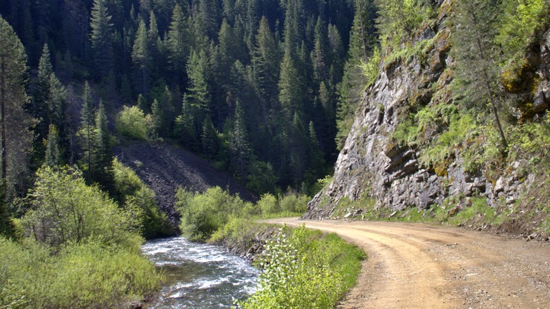
Updated: 06/03/2025
Loop Creek
Bogle, Idaho
Loop Creek Road (NF 326) is a scenic backroad gem tucked in the Idaho Panhandle National Forest, connecting Moon Pass to the area near Quarles Peak. This graded dirt road winds through a vibrant, lush green forest, occasionally revealing sweeping views of the valley below. While much of the route is wide enough for two vehicles to pass comfortably, be prepared for occasional narrow stretches and tight switchbacks that call for a bit of caution.
Ideal for a leisurely forest drive or a basecamp scouting run, Loop Creek Road is dotted with numerous dispersed campsites. These primitive sites offer a peaceful, off-the-grid camping experience surrounded by dense trees and the sound of a rushing creek nearby.
Its proximity to the iconic and historic Route of the Hiawatha Trail adds to the charm and the crowds. During peak seasons, expect moderate to heavy traffic from cyclists and shuttle vehicles navigating the popular rail trail. Still, if you're looking for a mix of forest solitude, rugged charm, and easy access to one of the region's most scenic corridors, Loop Creek Road delivers in spades.
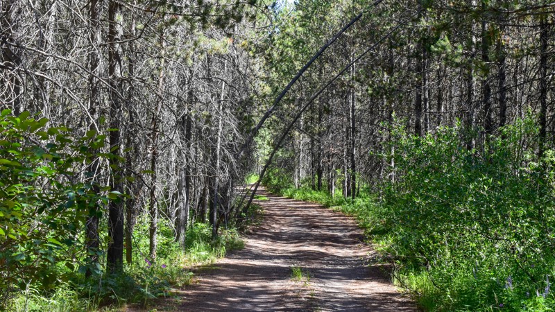
Updated: 03/09/2026
Wyoming Creek
Gerrit, Idaho
Wyoming Creek, FR 124, serves two primary purposes. First, it offers access to a few great campsites nestled along Wyoming Creek under the shade of the tall pines. However, its main allure lies in its role as a connector trail, leading down Thompson Hole Trail, FR363, to Sheep Falls along the Fall River (not to be confused with Sheep Falls on Trail 163 and Henrys Fork Snake River near Island Park) or a 1.5-mile hike from the trail's parking area down to the enchanting waterfalls. Be cautious of the blind turns and the low-hanging branches, as this is a popular trail for ATVs and side-by-sides.
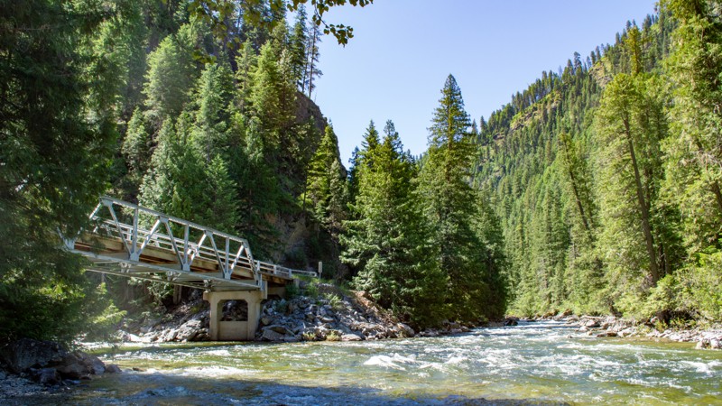
Updated: 11/30/2025
Selway River Road
Upper Crossing, Idaho
Selway River Road is a beautiful, non-technical, bumpy road winding its way along the early stages of the Wild and Scenic Selway River. This minimally maintained road sees usage almost every day from the lucky few who Raft the Selway River, so washboards and holes appear early in the season. Winding through the beautiful Clearwater National Forest, shade is plentiful, and snow lingers into early summer. Once it's dry, just about any vehicle can enjoy this scenic mountain drive.
There are many camping opportunities along the trail, including the developed Magruder Crossing Campground at the beginning and the Paradise Campground at the end. These campgrounds have designated sites, tables, fire rings, and bathrooms, but no water is available. Indian Creek and Raven Creek Campgrounds are located along the road as well, with minimal amenities. All of these incredible camping opportunities are free.

Updated: 10/23/2023
Timber Flat 666A
Horseshoe Bend, Idaho
This trail is in the Boise National Forest, two hours north of Boise, Idaho. Sagehen Dam and Reservoir are just 1.3 miles to the east. The reservoir has four improved campgrounds, some are first come, first served, and others require a reservation. The lake is well known for its rainbow trout, so bring a fishing pole. The trail and entire area are in Idaho's hunting unit 32A, where you will be sharing your space with deer, elk, black bear, mountain lions, and wolves, to name a few. This trail is one of many spurs along the main Sagehen Road and is best described as a dispersed camping paradise nestled among the pines, fir, and spruce. Shrubs and grasses dotted with wildflowers fill in the non-forested areas.
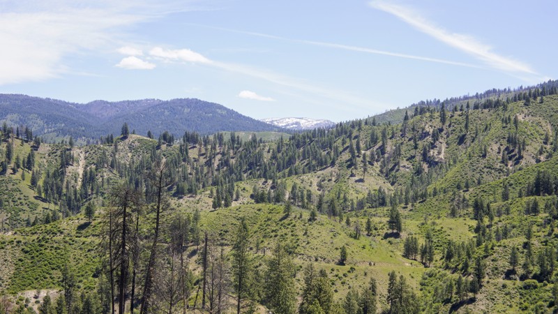
Updated: 06/05/2022
Horn Creek
Banks, Idaho
652 Horn Creek Trail is in the Boise National Forest, about 5 miles east of Garden Valley which is well known for its large herds of Elk. Loggers used this trail in the 1900s to get their timber to the mill in Horseshoe Bend. Running this trail in the early hours will reward you with views of the animals that call this forest home. Cougar, bear, elk, deer and maybe a wolf. Even on weekends, you won't see much traffic on this trail so camping near trails end will be quite secluded. If you're more into running water and a toilet, be sure and stay at the Hot Springs Campground for a real hot spring soak, and with the proper planning, you can enjoy the South Fork Payette River with rafting. A short drive south on Alder Creek Road brings you to Placerville, a ghost town from the 1800s. The area and trail offers you all the beauty you'd expect in an Idaho trail.
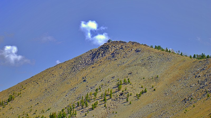
Updated: 10/15/2024
Pinyon Peak Lookout
Bonanza, Idaho
Perched atop the rugged Pinyon Peak, the Pinyon Peak Lookout offers an enchanting vantage point that immerses visitors in the pristine splendor of the natural world. Like a silent sentinel, this lookout tower transports you to a timeless realm where the marvels of nature extend beyond the distant horizon. The road is very narrow, with switchbacks and parking space for three vehicles at the most. There are no camping areas on this trail.
Elevated at an impressive 9,947 feet, the Pinyon Peak Lookout provides an unparalleled vista of the surrounding terrain. With its 360-degree views, you'll gaze upon the jagged peaks of the Salmon River Mountains reaching for the heavens, their rocky spires creating a breathtaking panorama. Below, an idyllic tapestry unfolds, featuring alpine lakes, luxuriant forests, and hidden valleys.
Beyond its scenic allure, the Pinyon Peak Lookout carries historical significance as a designated Heritage Site. Its legacy stretches back to as early as 1908, when it played a pivotal role in fire detection. The current lookout structure was erected in 1931. To this day, it stands as one of the longest-staffed lookout points in the Middle Fork district, faithfully continuing its duty as a functional fire detection outpost.
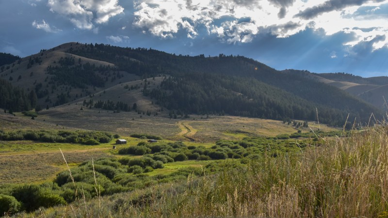
Updated: 10/15/2024
Bannack Pass Road
Lima, Idaho
Bannack Pass is a short trail connecting Medicine Lodge Road in Idaho and South Medicine Lodge Road in Montana. Despite its utility, the scenery is gorgeous from end to end: rolling hills, optional spurs and trails, and old cabins.
While dispersed camping is allowed along most of the trail, there were no apparent sites along the main trail.
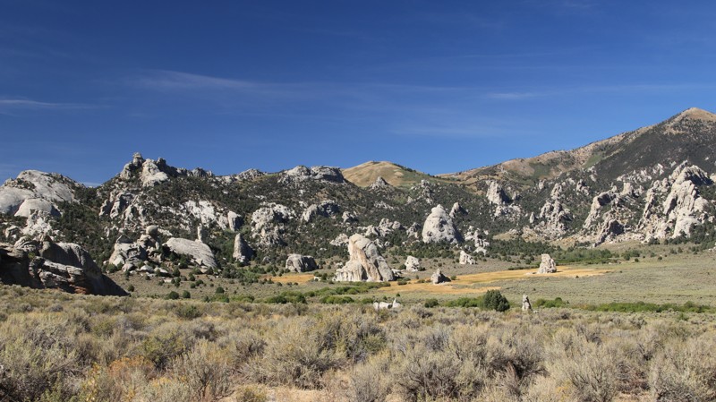
Updated: 10/15/2024
City of Rocks Road
Almo, Idaho
City of Rocks Road is an easy trip through history and a maze of ancient granite spires thrust up through the earth's crust thousands of years ago. Numerous hiking trails spur off the road, leading deep into this geological wonderland with granite towers that are a rock climbers' mecca.
Between 1845 and 1869, the California Trail saw over 250,000 easterners moving westward in search of the promised riches of the California Gold Rush. The California Trail ran through what is now the City of Rocks National Reserve, where wagon ruts are still visible beside the road today. The emigrants named the place Pyramid Valley for the pointed spires surrounding the lush central valley, a favorite camping location along the trail. A few travelers even wrote their names in axle grease on Register Rock, many of which are still visible today.
Camping in the City of Rocks Reserve is limited to designated campsites, which must be reserved. Sites have fire pits and picnic tables and range from walk-in tent pads to large sites for small RVs or trailers. Site 16 has a fabulous view and can accommodate a larger vehicle or trailer. Nearby Smokey Mountain Campground sits in a large juniper and pinion forest, offering 38 campsites with RV hookups. The small town of Almo hosts the Visitor Center, a small general store with a gas pump, two restaurants, and numerous commercial campgrounds.
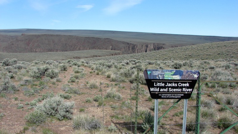
Updated: 10/15/2024
Pipeline and Pipeline Service Road
Bruneau, Idaho
The Owyhee Desert in southwest Idaho has five designated wilderness areas and at least one wilderness study area. The wilderness areas surround dramatic river canyons and protect them from development and ecological destruction. While it is not possible to drive in the Wilderness Areas, there are corridors and cherry stems that allow vehicle traffic on narrow corridors of non-wilderness into and sometimes through the wilderness. Cherry stems, in particular, allow you to drive across the sagebrush steppe and access the wonderful views of the river canyons and cliffs.
Part of Pipeline Road follows a corridor between Little Jack’s Creek Wilderness and Big Jack’s Creek Wilderness and includes one cherry stem going into each. The views of the canyons at the end of the cherry stems demonstrate the power and grace of Mother Nature at her finest! Pipeline Road also crosses large sections of the sagebrush steppe outside the wilderness areas.
Maps show Pipeline Road continuing south to and across the Owyhee River. At the south end of the route, the road runs into a reservoir. It is possible that the road going southeast from the southern point of the loop is underwater due to spring runoff and will become available for travel later in the season.
While much of Pipeline and Pipeline Service Road is easy, numerous more challenging areas make the road interesting to drive. The hardest part of this route is the western point of the loop, heading northeast onto the plateau. This short section is steep and with large, loose rocks. Once you enter this section, there is no opportunity to turn around. The best approach to this section is from the bottom by going clockwise around the loop. Before starting this section, you may want to walk it to determine if the driver and vehicle are up to the task. Return to the loop to exit the area if the road looks too intimidating.
Dispersed camping is allowed throughout the area. The ends of the cherry stems are interesting places to camp, but there are also numerous wide spots on the road for a camp.
Owyhee County in Southwest Idaho has over 5,000 square miles of desert, canyons, and mountains. There are no services in the entire area, and cell coverage is spotty. Being properly prepared for any contingency is a must. Because there are multitudes of crisscross trails, many of which look similar, a good navigation system, a backup system, and the knowledge to use them are a must.
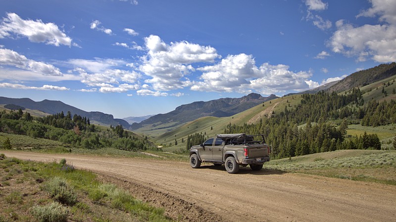
Updated: 08/11/2025
Pass Creek
Clyde, Idaho
Just outside the quiet town of Mackay, Pass Creek Road invites exploration into the scenic high desert and foothills of Idaho’s Lost River Range. This well-maintained backroad winds through sagebrush valleys, crosses small creeks, and hugs rugged hillsides as it leads into the striking Pahsimeroi and Little Lost River Valleys.
Historically used by pioneers and ranchers, the route is now an accessible overland path into Idaho’s expansive backcountry. Most vehicles can handle it in dry conditions, but it turns slick when wet and may close in winter due to snow. Summer and early fall are ideal for travel, just prepare for dust and solitude.
Camping is available at the Pass Creek Narrows Camping Area, which offers seven dispersed sites with space for trailers or roof-top tents. There are no services, so come self-sufficient and pack out everything you pack in.
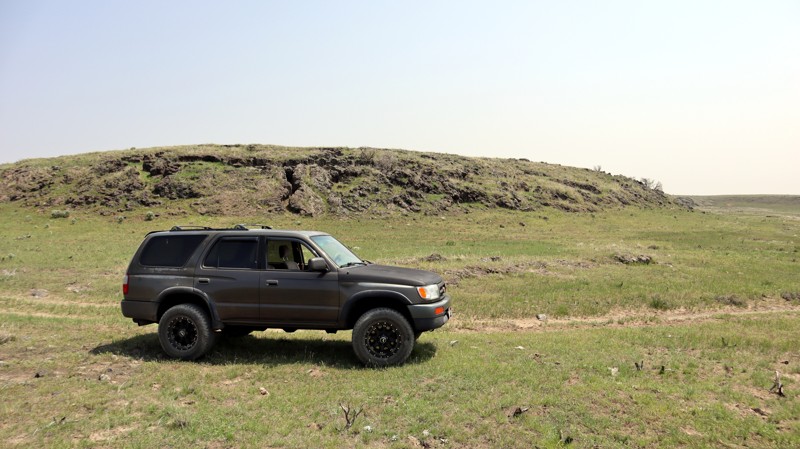
Updated: 11/20/2025
Menan Butte Road
Sage Junction, Idaho
Menan (pronounced Me-nan) Butte Road is an easy dirt road named after the buttes to its west. It travels through the desert west of Rexburg, Idaho, with occasional easy obstacles. If you enjoy traveling through desert landscapes with the occasional extinct volcano, you'll love this trail.
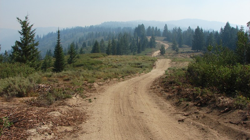
Updated: 10/15/2024
Bear Run - Pilot Peak
Idaho City, Idaho
Bear Run - Pilot Peak goes from Idaho City to FS 380 (Summit Flat). The south portion of the road is easy, with a sand and dirt surface. The north section changes to mostly dirt with occasional rocks and is narrower, steeper, and has a looser surface in many areas. Four-wheel drive is recommended for the north portion of the road but generally not required. The major hazards are limited sight distance, steep rocky climbs, and sometimes deep sand, which could pose a problem for motorcycles.
There are many areas with big, open vistas. Unfortunately, smoke in the air is common in this part of Idaho in the summer, so the views may be shortened and blurred. No designated campgrounds along Bear Run exist, but ample opportunities exist for dispersed camping.
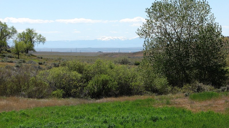
Updated: 10/15/2024
Mayfield Road
Mayfield, Idaho
Mayfield Road is a delightful, well-maintained gravel road that runs along the base of the foothills between the Snake River Plain and the Sawtooth Mountains. Along the majority of the road there are rocky outcroppings where the harder rocks were left behind when the softer soils and rocks were eroded away. Many of the outcroppings are quite tall and relatively narrow and provide very interesting views of the local geology. Because Mayfield Road runs along the foothills, it crosses many small valleys and ravines, which makes for an interesting but easy drive that can be done in any vehicle.
Mayfield Road is part of the new Main Oregon Trail Backcountry Byway, which runs from Glenn’s Ferry, Idaho, on the Snake River to Bonneville Point outside of Boise. Several information displays at historically significant points along the road make it an interesting route for history buffs or anyone interested in the Oregon Trail and its history. More information on the Byway and the historical sites along Mayfield Road can be found on the internet with a simple Google search.
Much of the land along the road is private, and proper respect for private land is encouraged. One section of the road travels through the Boise River Wildlife Management Area where motorized travel off of the main road is not allowed. The rest of the road travels through BLM land, where dispersed camping is allowed; however, there are no particularly enticing places to do so. The west end of Mayfield Road can be accessed via Black’s Creek Road off of Interstate 84.
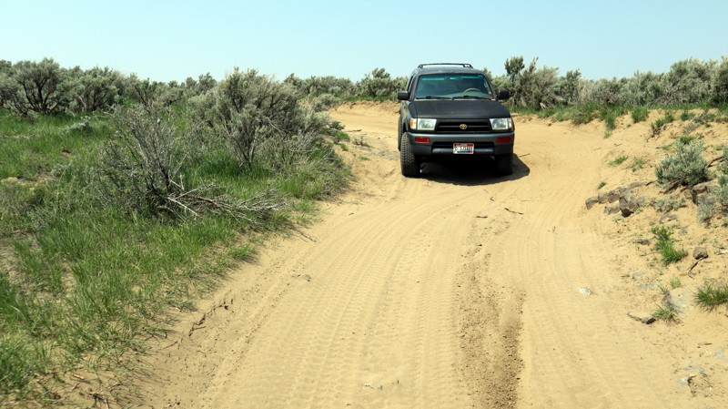
Updated: 10/15/2024
Hawgood Crossing Road
Plano, Idaho
Hawgood Crossing Road is a thoroughfare through the middle of a popular offroad recreational area west of Rexburg, Idaho. It is a dirt road easily traveled by any high-clearance vehicle, providing desert landscapes and access to Bureau of Land Management areas. The trail starts at the west end of 5000 North and ends at Redwood Road near the Montana Subdivision Railroad. While camping is allowed within Bureau of Land Management areas, no established camping spots are along this trail. Plenty of other crossroads allow for a lot of exploration of this area, most of which is under the control of the Bureau of Land Management.
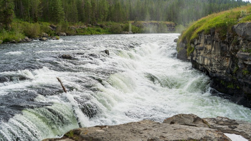
Updated: 05/01/2026
Sheep Falls Trailhead
Gerrit, Idaho
Sheep Falls Trailhead does precisely as the name suggests, guiding you from the Sheep Falls trail to the hiking trailhead for the namesake Sheep Falls. It is a bumpy dirt road with embedded rock patches at the end. 2WD will be fine, but if you have low clearance, you may want to be careful how you turn around here. A short 20-30 minute hike takes you to Sheep Falls, a beautiful waterfall on the Henry's Fork - Fall River. One small campsite was found along this short spur, but the Sheep Falls trail had numerous options.
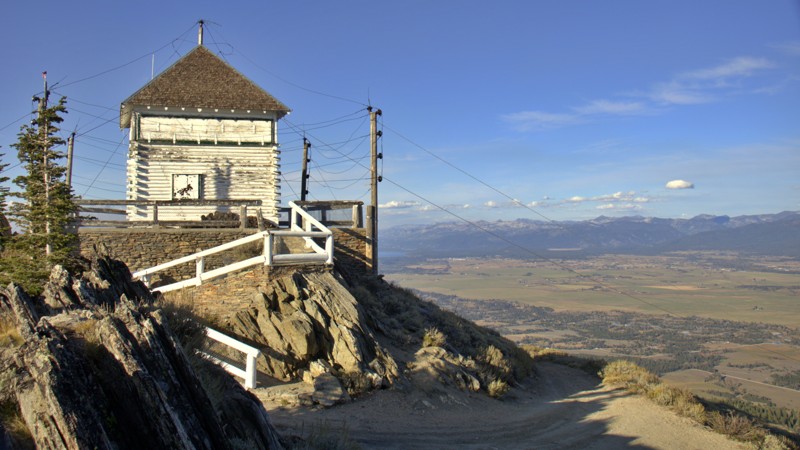
Updated: 10/15/2024
No Business Lookout
Old Fort, Idaho
No Business, NF-51814, is a trail that leads you to the historic No Business Lookout, where you can behold breathtaking vistas of Cascade Reservoir, the charming towns of Cascade and Donnelly, and even catch a glimpse of the serene alpine beauty of Payette Lake in McCall. To the west, Council Mountain stands as a majestic presence, while to the east, the vast expanse of Long Valley unfolds before you. Venture to the FAA radar area, and you'll be treated to captivating views of the Wallowa Mountains and Seven Devils Range.
The trail narrows into a challenging jeep trail adorned with rocky terrain and gully washouts. Although no designated campsites are evident, convenient pull-off areas and spurs along the way provide opportunities for dispersed camping. Remember always to adhere to the principles of Leave No Trace.
No Business Mountain got its name from a Weiser sheepman in the 1900s who had a camp on the peak. His sheep herder was new at the business. A few days after he went to the hills, he showed up at headquarters. It seems a bear had disputed his right to the range. The sheep went in all directions. The herder hit for the town. "Too wild," he told his boss. "A sheep herder has no business on the mountain."
The history of No Business Lookout dates back to the 1920s when it began as a camp. In 1937, a remarkable two-story, 20x20' log and frame house was constructed on the site. However, in 1963, a faithful replica of the original structure took place. During the summer fire season, the lookout is diligently staffed and warmly welcomes visitors to share in its rich history and panoramic views.
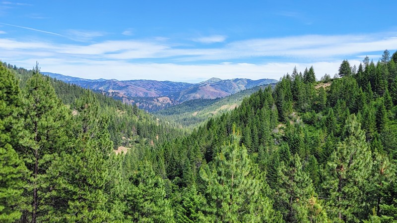
Updated: 10/15/2024
Robie Creek Road
Robie Creek, Idaho
Robie Creek is a nice drive through the Boise National Forest. The thick trees that line the road open up for some amazing views of the Sawtooth Mountains. Camping is scarce on this trail, but there are a few dispersed camping spots.
This is a dirt road that does not require 4WD. Any high-clearance vehicle can easily drive on it. The southern section of the trail is a popular recreation site for boating, paddleboarding, and kayaking.
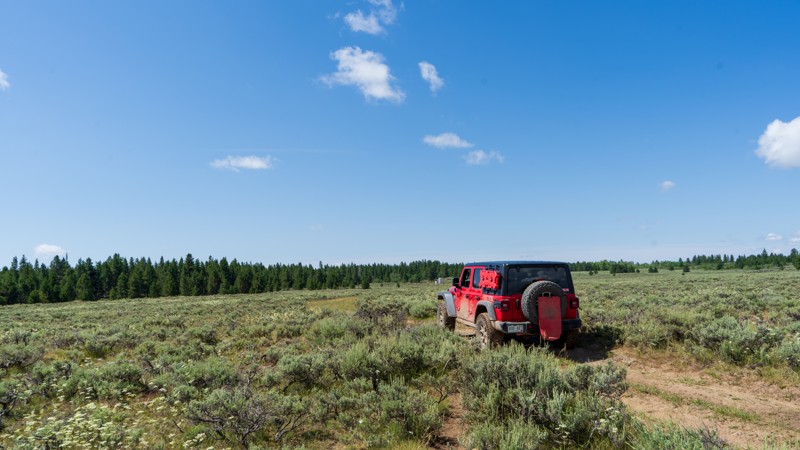
Updated: 10/15/2024
Davis Lake
Rea, Idaho
Despite its name, Davis Lake doesn't take you to a fantastic lake but many small ponds and wells that are used by cattle ranchers in the area. The draw for this trail is the extensive views of the Henry's Fork caldera system of the Yellowstone Volcano. The eruption that caused this relatively flat area happened around 1.3 million years ago. As you drive across the flats, you randomly encounter rocky patches where the lava rock pops through the dirt. This makes for a few small obstacles as well, requiring high clearance and possibly 4WD. Camping is sparse as long as you don't mind bovine company. You are better suited to finding camping closer to Highway 20.
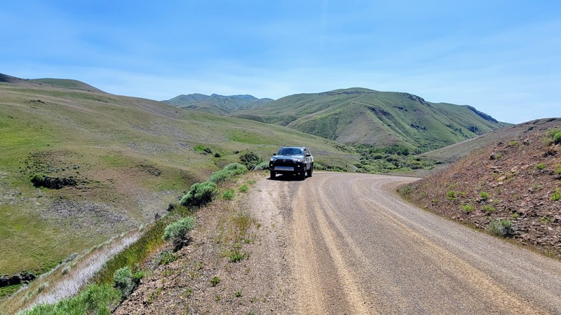
Updated: 10/15/2024
Big Flat Road
Black Canyon, Idaho
Big Flat Road is a well-maintained gravel road offering great views of the surrounding rolling hills and magnificent canyons. To the east, you can see The West Mountains. Alongside the road is Big Willow Creek, and several pullouts offer direct access to the water.
The wide road cuts through BLM land, and high clearance or 4WD is unnecessary; any vehicle can make it. There are a couple of small washboard sections and a few potholes, but they’re easy to avoid. You travel through an open range, so beware of livestock on the road.
Big Flat Road intersects Van Deusen Road just north of Emmett in the southwest and North Crane Road to the east, which will take you to Crane Creek Reservoir.
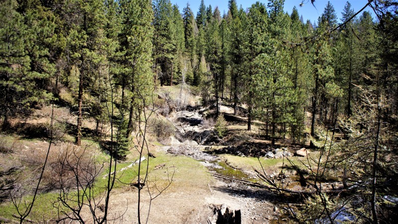
Updated: 06/05/2022
Sagehen Spur 626U
Horseshoe Bend, Idaho
This trail is in the Boise National Forest, two hours north of Boise, Idaho. Sagehen Dam and Reservoir is just 1.3 miles to the east. The reservoir has four improved campgrounds, some are first come first served, others require a reservation. The lake is well known for its rainbow trout, so bring a fishing pole. The trail and entire area are in Idaho's hunting unit 32A where you will be sharing your space with deer, elk, black bear, mountain lions, and wolves, to name a few. This trail is one of many spurs along the main Sagehen Road and is best described as a dispersed camping paradise nestled among the pines, fir, and spruce. Shrubs and grasses dotted with wildflowers fill in the non-forested areas.
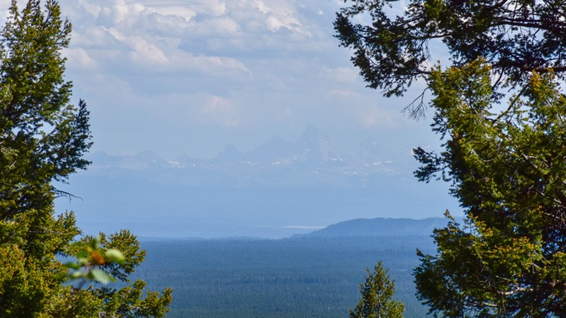
Updated: 10/15/2024
Green Canyon Road
Rea, Idaho
Green Canyon Road, also known as State Highway 167, takes you on a journey along the Henrys Fork Caldera rim shaped by a cataclysmic volcanic eruption approximately 640,000 years ago. As you drive, occasional views extend as far as the snowy Grand Tetons in the distance, offering a glimpse of the transformed landscape amidst the lush forests. Could this have once been a more rugged terrain, with deep river canyons, mud pots, and geysers, before the eruption and the migration of the lava chamber beneath what is now Yellowstone National Park? Along the roadside are outcroppings of ancient basaltic lava flows, leaving boulder-like features scattered throughout the forest. This trail also offers access to other trails, inviting exploration along with hiking, fishing spots, and serene camping areas, providing an opportunity to connect with nature and immerse yourself in the region's rich history. The history of Green Canyon Road can be traced back to the early settlement of the area, where pioneers and explorers relied on trails and rudimentary roads to traverse the wilderness.
An article from USGS describing the 2.1 million years of volcanic history in the area can be found here. This is a great article that explains the volcanic history you'll see as you drive toward Yellowstone National Park from Ashton, Idaho.
There are no obvious campsites along this road, but off the intersecting trail 465 lies West End Campground, located on the edge of Island Park Reservoir. West End Campground is a dispersed camping area with a vault toilet and no other amenities. Day-use activities and rental accommodations are available at Harriman State Park near Highway 20 and Island Park.
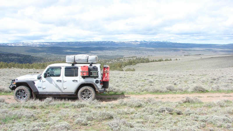
Updated: 10/15/2024
Antelope Ridge Road
Triangle, Idaho
Antelope Ridge Road follows its namesake ridge from the Bachman Grade Road to Mud Flat Road, part of the Owyhee Back Country Byway. Most of the road is at about 6000 feet elevation, so it is ordinarily impassable from late fall to late spring. The northern part of the road is rough and rocky with significant washouts, suitable for 4WD vehicles with good clearance and stout tires. After about ten miles, or about five miles from Mud Flat Road, it becomes a well-maintained gravel road suitable for most vehicles.
Antelope Ridge Road's elevation provides forever views ending at distant mountain chains.
Dispersed camping is allowed along the road except in a small private property section, including a charming little homestead. The gates on both sides of the private land were open, and there were no signs asking people to stay out.
Owyhee County in Southwest Idaho has over 5,000 square miles of desert, canyons, and mountains. There are no services in the entire area, and cell coverage is spotty. Being adequately prepared for almost any contingency is a must.
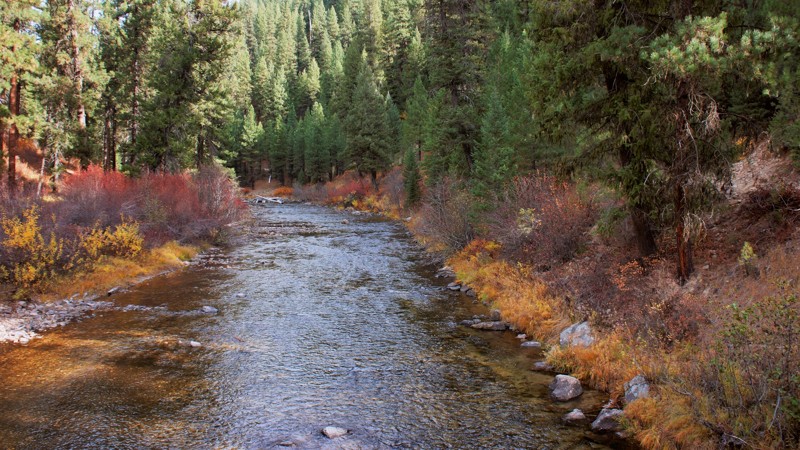
Updated: 06/05/2022
Six Mile
Garden Valley, Idaho
670 Six Mile Trail is in the beautiful and diverse Boise National Forest. You'll have to decide if it's the surrounding forest of pines, firs, cedar, or quaking aspens, and maple trees that draws you to this trail. Or possibly one of the several established campsites throughout the trail. The two campsites at the trailhead and waters edge will be your favorite choices.
The trail parallels the Middle Fork of the Payette River for a couple of miles before the trail turns westward on its climb up the mountain. You enjoyed viewing this trail as you drove to this trailhead while on the Middle Fork Payette Trail. Whatever your reasons, you will come away from this trail with lasting memories of having a good time.
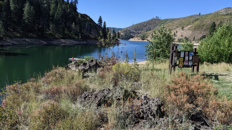
Updated: 09/22/2025
Fall Creek Road
Reclamation Village, Idaho
Fall Creek Road is, in many ways, two separate roads. The first section, FS120, starts at the Anderson Ranch Reservoir Dam and follows along the side of the reservoir to the Fall Creek Recreation Area. The second section, FS123, follows Fall Creek to Ice Springs Campground and is bordered mainly by private land with many cabins. Fall Creek Road is primarily an access road to the recreation areas along the reservoir and the cabin area. Fall Creek is relatively small and scenic. It is a pretty drive.
The road is generally a narrow two-lane along the reservoir with a well-maintained gravel surface. Maintenance is limited in the winter. Numerous pullouts assist with passing larger vehicles. The hazards along this stretch are twofold. The gravel often feels slippery, and the road is twisty, with many blind curves. The Hardest Part photo does not show the road surface but, instead, how the road winds along the edge of the reservoir, which is the hardest part of driving this road.
There are campgrounds along the reservoir and in the Fall Creek Recreation Area. At the north end of Fall Creek Road is Ice Springs Campground. It is a fee campground maintained by the Boise National Forest and is quite popular and often full.
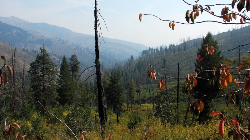
Updated: 07/23/2026
James Creek Road
Rocky Bar, Idaho
Although it starts at Rocky Bar, James Creek Road is a main access route between Featherville and Atlanta. It is a marginally maintained gravel and rock road suitable for any vehicle with moderate ground clearance. Although parts of the road go through timber tunnels with restricted scenic views, much of the road is above the timber, and the views are spectacular! The extensive views would be even better without the smoke from fire season, but they are still outstanding. There are no campgrounds along James Creek Road, but there are several opportunities for dispersed camping.
Featheville, Rocky Bar, and Atlanta are all historic mining areas. Near Rocky Bar, there are still active mining claims. Near James Creek Summit is a commemorative sign celebrating the brave freighters and mule skinners supplying central Idaho mining towns. There is also a monument to the bravery and spirit of Peg Leg Annie and Dutch Em, who got lost in a blizzard in May 1896 while walking from Atlanta to Rocky Bar.
In the winter, James Creek Road is part of the main groomed snowmobile route from Featherville to Atlanta. Summer or winter, starting from either town, is an excellent round-trip day ride to have lunch at the other end of the road.
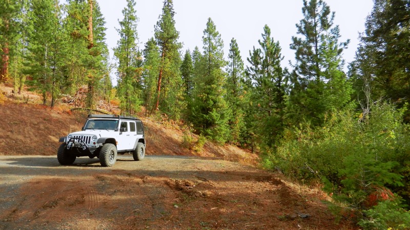
Updated: 06/05/2022
Fletcher Butte
Banks, Idaho
Fletcher Butte is in the Boise National Forest, less than 2 hours from downtown Boise. Its location makes for an ideal spot for you, your family, and friends to take off for an enjoyable day trip or take advantage of the many dispersed campsites you'll find along this trail, especially on the short Gravel Pit Spur near trails end. You'll parallel Shirts Creek (not the other creek) for most of the trail, which adds to the opportunity to spot the abundant wildlife that Idaho offers. When away from your vehicle, be aware of the wildlife nearby, especially with children and pets.
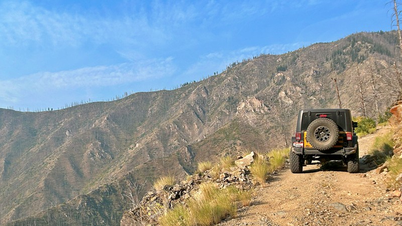
Updated: 10/15/2024
Grouse Creek
Custer, Idaho
Grouse Creek Road is a remote dirt road that provides access to the Frank Church River of No Return Wilderness. The Frank Church River of No Return Wilderness is one of the largest wilderness areas in the contiguous United States, covering over 2.3 million acres of rugged and pristine landscapes in central Idaho. At the end of the road, there are two primitive campsites at Indian Springs Campground, which consists of picnic tables, fire rings, and a vault toilet.
Grouse Creek Road serves as a gateway for outdoor enthusiasts, hikers, hunters, and campers to access the wilderness area. It's important to note that the road is typically rough and may not be suitable for all vehicles. Trailers are not recommended on this road. Travelers should be well-prepared for remote conditions, as the area's services and facilities are limited.
Before embarking on a trip to Grouse Creek Road and the Frank Church River of No Return Wilderness, it's essential to check the latest information, road conditions, and any necessary permits or regulations. It's recommended to contact local ranger stations or relevant authorities for the most up-to-date information.
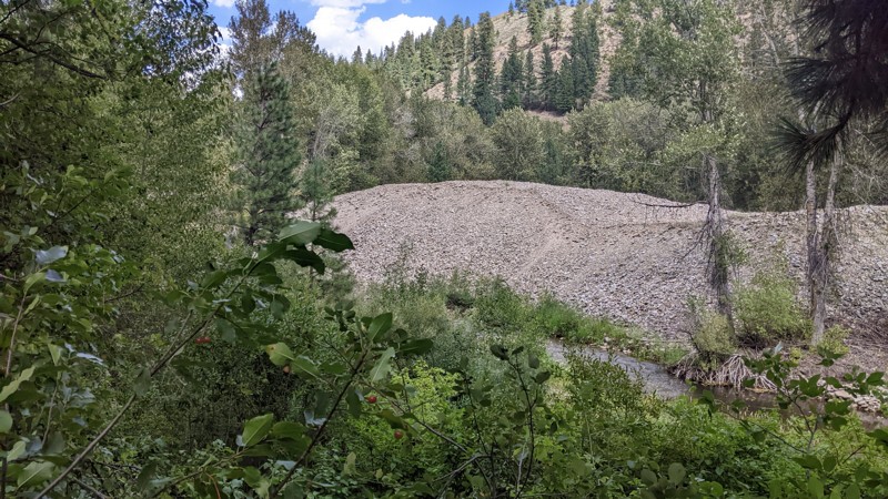
Updated: 10/15/2024
Rocky Bar Road
Rocky Bar, Idaho
The saying “you can’t see the forest for the trees” could have been coined for Rocky Bar Road. Heading south out of the small cluster of buildings called Rocky Bar, the well-maintained gravel road winds down into a heavily wooded valley en route to Featherville. The trees are right alongside the winding road and virtually eliminate any scenic view from the road. That is NOT to say it isn’t an enjoyable road to travel! It’s well maintained, well surfaced, and is an easy drive through the bottom of a steep valley. There just isn’t much of a view.
Rocky Bar Road is a connector road from Featherville to Rocky Bar. Featherville, Idaho, has a few services, including a country store, cafe, and bar. Rocky Bar has no services but has quite a few older buildings used as cabins, newer construction, and semi-active mining claims. North and west of Rocky Bar are an abundance of forest roads through the Boise National Forest and up to Trinity Ridge Road. Near Featherville are piles of rocks left over from dredge mining along the Feather River.
Rocky Bar is considered a ghost town, although there is current summer activity. The town was founded after gold was discovered in the Feather River in the early 1860s. Gold production declined in 1889, and in 1892, much of the town was destroyed by fire. There have been no permanent residents since the 1960s.
There is no camping to speak of along Rocky Bar Road, although there may be dispersed camping if you go up the side roads. Please be aware that much of the land in the area is privately owned and should not be used for camping or anything else without the owner’s permission.
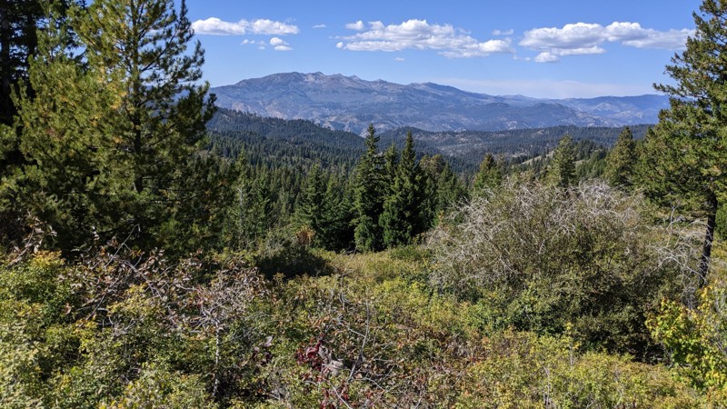
Updated: 10/15/2024
Grouse Creek Road
Paradise Hot Springs, Idaho
Grouse Creek Road, FS 166, starts as a wide two-lane gravel road with cabins on both sides. After a few hundred yards, the road enters the Boise National Forest and narrows but remains a nice gravel road. The last couple of miles are dirt, a bit rocky, but still accessible by pretty much any vehicle. FS 166 continues slightly beyond this track but becomes a narrow, rocky, two-track trail suitable only for true offroad vehicles and then becomes a snowmobile/ATV route. The primary hazard along the road is blind curves.
FS 166 starts by climbing and winding along the creek drainage. About halfway along the route, the road comes out on the top of a ridge it follows for several miles. The views are spectacular! Like most of this part of Idaho, areas have burned and have standing dead trees. The last couple of miles are rougher as the road winds off the ridge to another drainage. There are many side roads and trails, which should provide ample opportunity for further exploration.
Although there are no designated campsites, there are ample opportunities for dispersed camping, with site sizes ranging from one or two tents to several large RVs. It might be hard to find an open site during hunting season as the area is popular for hunting deer, elk, and bear.
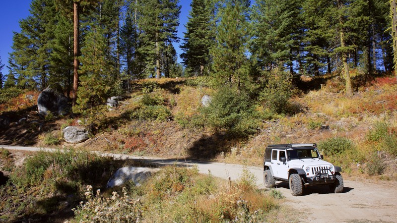
Updated: 10/18/2022
North Fork Ridge
Banks, Idaho
As the name North Fork Ridge implies, this trail follows a north/south ridge separating the Payette River Canyon to the east and High Valley to the west. The trail favors the east side of the ridge, offering you gorgeous views through the pines and cedars into the canyon and river below. There is a dispersed campsite along this trail to stop for a picnic or spend the night. This ridgeline favors wildlife, where you can observe every big game that Idaho offers. You can see bear, mountain lion, deer, and elk. Your best results would be at dawn and dusk. The highlight here is to enjoy the natural beauty this forest and trail have to offer.
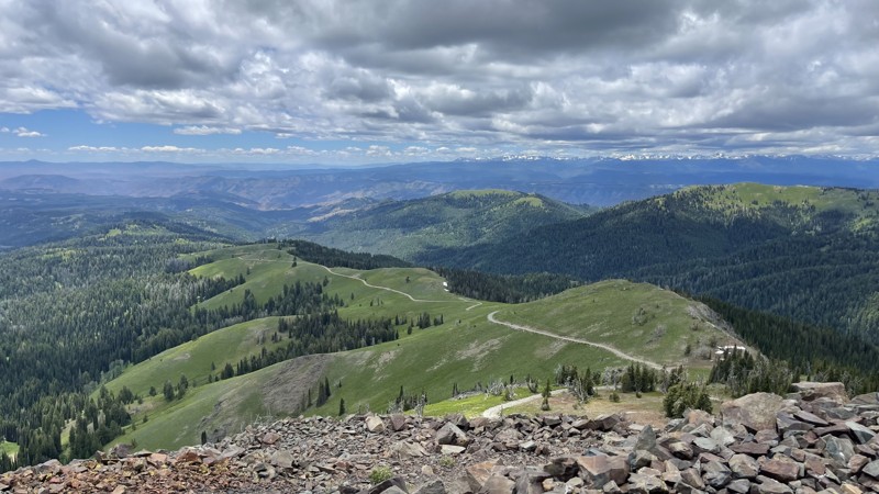
Updated: 10/15/2024
Smith Mountain Lookout
Landore, Idaho
Smith Mountain Lookout is a short out-and-back trail. The road is mostly a rocky shelf road with switchbacks. One major rut can cause problems for less-built vehicles. If positioned correctly, there’s room up top for 3-4 vehicles. There isn’t much room to turn around, so if you aren’t comfortable turning around on a cliff, it might be best to hike up.
Smith Mountain Lookout sits at an elevation of 8,009 feet and became a lookout in 1908; the existing building was constructed in 1963 and was registered on the National Historic Lookout Register on September 29, 2020, US 1438, ID 130 nhlr.org
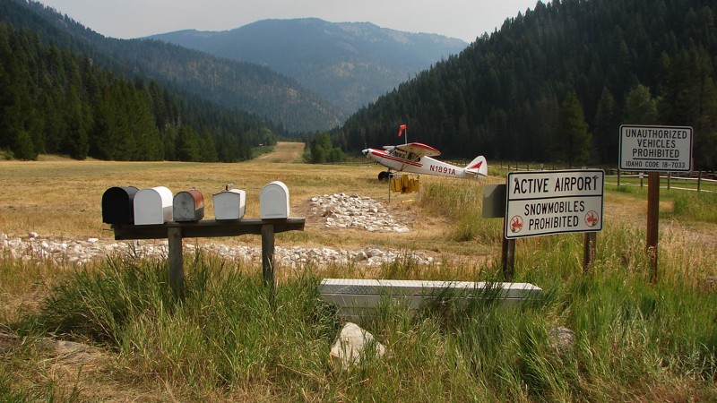
Updated: 06/25/2025
Big Creek Road
Yellow Pine, Idaho
Big Creek Road goes from near Yellow Pine to Edwardsburg. It is the first road of a four-road route from Yellow Pine to the Salmon River near Riggins. Big Creek Road is easy to drive and suitable for any vehicle with moderate ground clearance. The surface is maintained gravel, but many rocks extend above the road surface, making for an often rough ride. The main hazards are blind curves and a sometimes reasonably rough surface. The road follows picturesque babbling brooks for almost its entire length, and there are ample opportunities for big, expansive views. Unfortunately, the view is often obscured during the fire season with smoke from wildfires in the area.
Dispersed camping is allowed, but campfires are only allowed in designated campsites. One campground is near the Big Creek Airport just north of Big Creek Road, and another is just south of Yellow Pine on Johnson Creek Road.
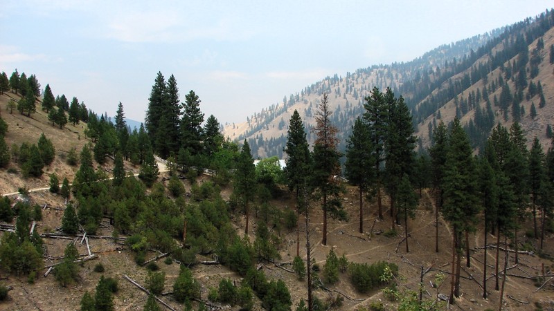
Updated: 10/15/2024
Elk Creek Road
Edwardsburg, Idaho
FS 340 runs from Edwardsburg to Warren and is the second section of a four-road route from Yellow Pine to the Salmon River at Riggins. The road is generally easy to drive, but due to rocks poking above the road surface, moderate ground clearance is needed. Four-wheel drive is unnecessary, but it might be helpful on the occasional steeper sections with loose rock. The road is one lane, mostly gravel, with some turnouts. The major hazards are blind curves, a narrow roadbed, and some rocks.
There are ample places to dry camp and a campground at the South Fork of the Salmon River. There are large stretches where the views are incredible—or would be if there is no smoke in the air. Smoke is a common occurrence during the fire season from July to September. There are also many small, picturesque streams along the road and, for a short section, the South Fork of the Salmon River.
The forest road number changes from FS 340 to FS 337 at Warren Summit and then back to 340, so it is essentially one road with two numbers assigned to it.
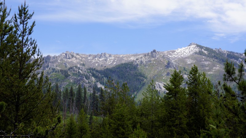
Updated: 10/15/2024
Silver Creek
Alpha, Idaho
Silver Creek is in the Boise National Forest. It is a campers paradise with dozens of designated dispersed sites, some with vault toilets. There is also the very large developed Silver Creek Campground. The campground is also the home of the Silver Creek Plunge Resort, which is a geothermal heated pool between 100-97 degrees.
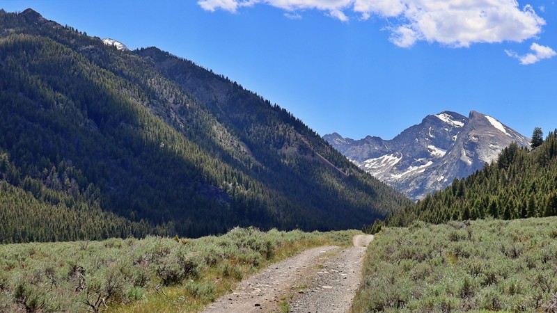
Updated: 10/15/2024
Kane Creek
Sun Valley, Idaho
Kane Creek Road offers a scenic in-and-out trail that showcases stunning views of Kane Summit. The drive is generally straightforward, though the last 2 miles can be challenging due to winter washouts and gullies. A high-clearance vehicle is advisable for this part. In the first 2 miles, you'll find shaded spots by the road or near the creek where you can park an RV for dispersed camping.
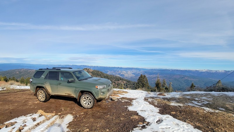
Updated: 04/10/2026
Harris Creek Summit
Robie Creek, Idaho
Harris Creek Summit is an incredible drive through the Boise National Forest that runs from Bogus Basin Ski Resort in the south up through the wilderness of the Boise Mountains in the north on Forest Road 297. Make sure to take the short turnoff towards the north end of the trail up to Hawley Mountain Lookout, the panoramic views of the Sawtooth Mountains and other ranges are not to be missed!
There are no developed campgrounds on this trail, but there are plenty of dispersed camping areas, as well as a campground near Bogus Basin.
Most of this trail is easy on this wide double-lane road, but at the north end, there are a couple of steep rocky sections. But under dry conditions, any high-clearance vehicle can make it, but 4-wheel drive is nice to have. The trail ends in the north, where a fallen tree blocks the road.
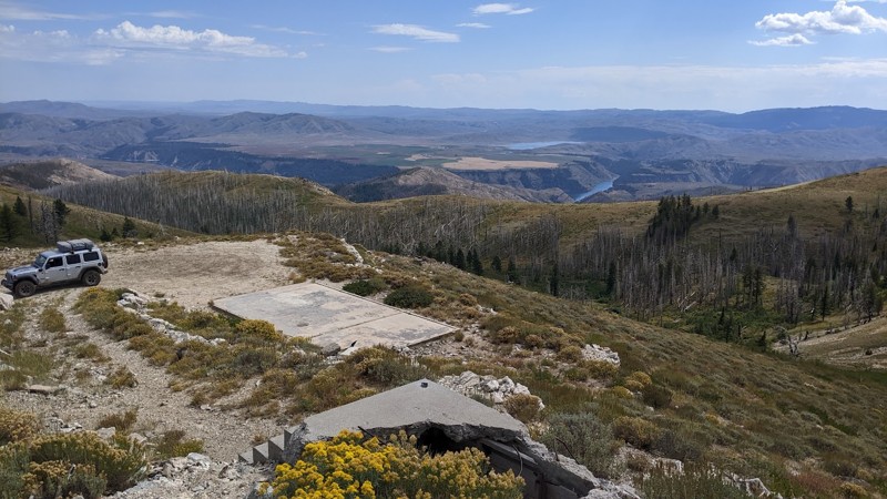
Updated: 12/08/2025
House Mountain Road
Prairie, Idaho
House Mountain, southeast of Prairie, Idaho, had a lookout from 1931 until 1990. No buildings are left, but the foundations of the lookout, the house supporting the lookout staff, and even the pit toilet remain. The very top of House Mountain is a concrete slab with incredible views! The Boise River Canyon, Anderson Ranch Reservoir, and Trinity Mountains are all on full display. House Mountain Road, FS 137, tuns south off Meadow Creek Road to this inspiring summit.
House Mountain Road's early section is wide and easy to drive. The primary concerns are small to medium washouts, downed timber, and oncoming traffic around blind corners. Most vehicles can drive the lower section of the road, but on the climb to House Mountain, the road gets narrow, steep, and rocky. The rocks are loose and pointy, so good ground clearance, good tires, and 4WD is the order of the day. The climb is a fun stretch, and the view from the top makes it all worthwhile!
Dispersed camping is available along the lower section of the road. Camping at the mountain summit would be possible, but wind might be an issue. FS 137C leads to a lovely little valley where elk hunters often camp.
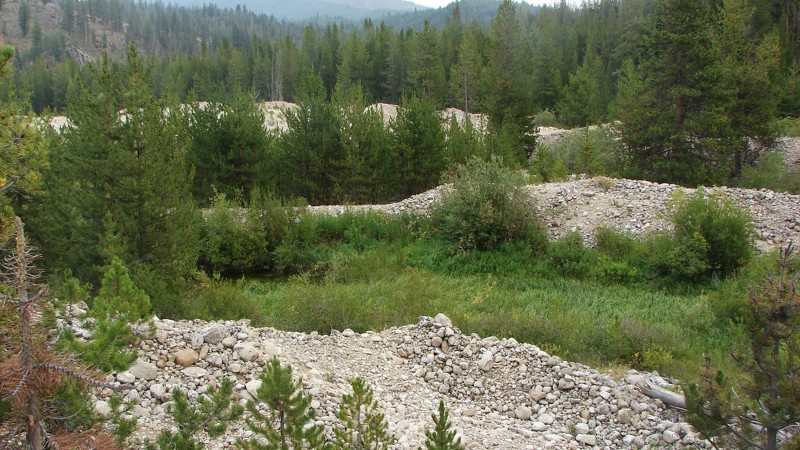
Updated: 10/15/2024
Warren Wagon Road
Warren, Idaho
The Warren Wagon Road is primarily a connector road between McCall and Warren, Idaho. It is the third section of a four-section route from Yellow Pine to the Salmon River near Riggins. The section highlighted is a well-maintained, two-lane gravel road that is easy to drive in any vehicle. The rest of the road, down to McCall, is paved. Along the Warren Wagon Road, there is one campground and some opportunities to disperse camp.
Just outside of Warren, there is nearly a mile of dredge tailings from the mining days in the area. Of particular note are the tops of some of the tailings piles, where you can see the curved mounds created by the dredge out-feed conveyor as it swung back and forth. The dredge then moved forward and made another curved mound.
Be sure to stop in Secesh Meadows, where there is a little resort with ice cream!
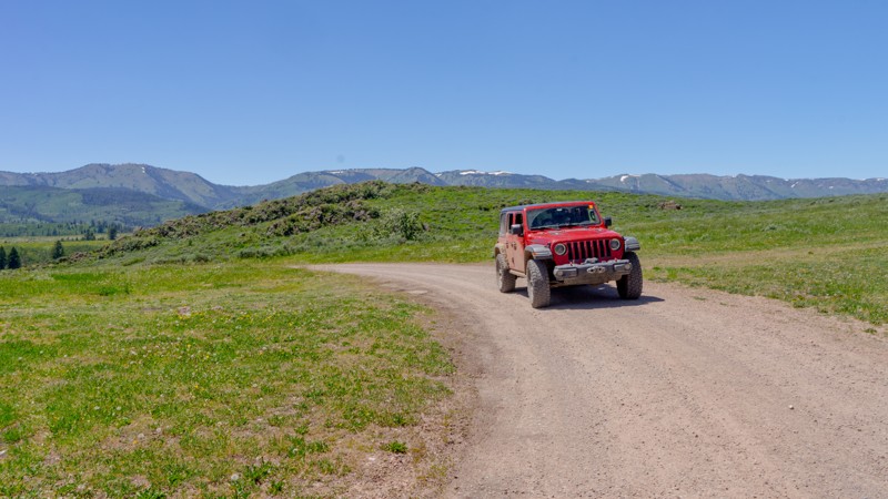
Updated: 10/15/2024
Ephraim Elk Valley
Bennington, Idaho
Ephraim Elk Valley is an out-and-back spurring off Crow Creek Road that takes you just past the Elk Valley Marsh. The marsh, a 200-acre high-altitude wetland bordered by grassland and forest, is recognized as an Idaho birding community site. The area is a nesting and molting area for Canada Goose and dabbling ducks. Camping is limited to a couple of sites at the top of the hill at the start of the trail and one at the end. The trail traverses a burn scar. Be aware of potential fallen trees on the trail.
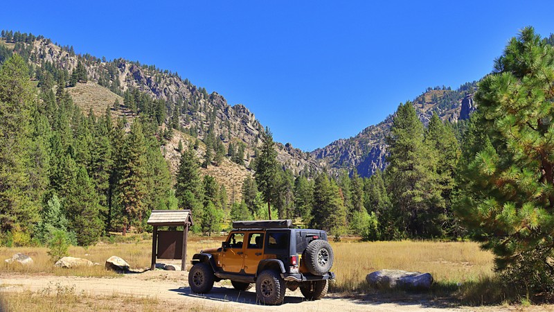
Updated: 10/15/2024
Hunter Creek - Crooked River
Tenmile Summer Home Area, Idaho
Hunter Creek - Crooked River Jeep Trail 348 is a fun, beautiful drive that runs along ridges to beautiful views of the Bear Summit and Archie Mountain. This trail can be started at North Fork Boise River or at Edna Creek. High clearance vehicles are recommended due to wash-outs and off-camber. The trail is mainly a single narrow lane. Hunter Creek - Crooked River provides access to several popular hiking trails and offers choices in dispersed camping along the trail.
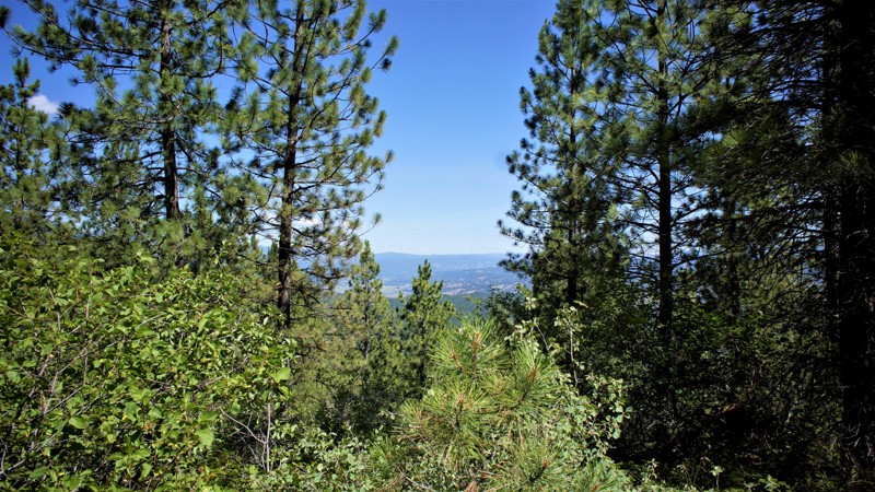
Updated: 06/05/2022
Wash Creek Ridge Spur
Garden Valley, Idaho
Wash Creek Ridge Trail is in the Boise National Forest. It is 4 miles north of Placerville, Placerville was established in 1862 for gold, and silver mining, plus logging. Its peak population of 3,300 has dwindled to 50 as of the last census, so the town is little more than a ghost town. This trail ends near Mineral Mountain where there are still active mines, Mineral Hill Mine, Grand View Mine, and the Klondike, to name a few. Elk winter in Garden Valley to the north. The elk live in these mountains in large numbers the rest of the year. In early spring this trail is a prime hunting spot for their dropped antlers. Elk have predators besides man so stay alert for mountain lions, wolves, and bears.
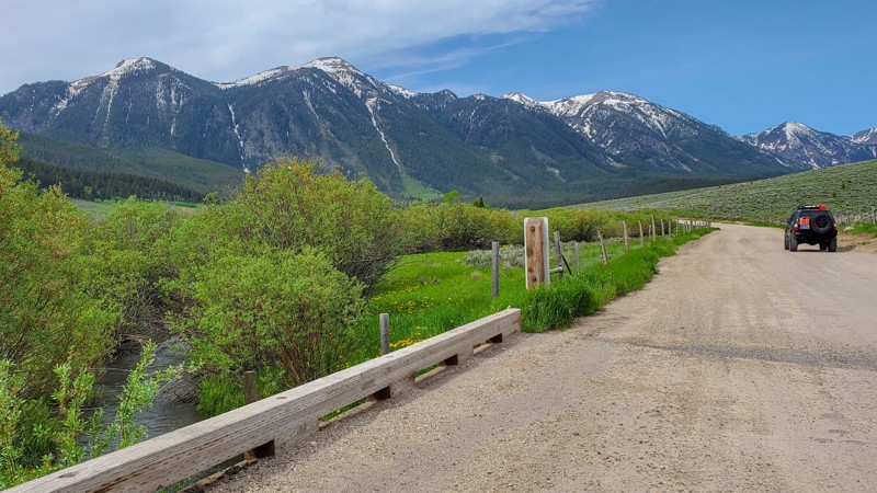
Updated: 10/15/2024
058
Lakeview, Idaho
Experience the beauty of Red Rock Pass, a connecting trail that links Henrys Lake in Idaho, near Highway 20, to South Valley Road, which leads to Monida in Montana, and I-15. This scenic connector trail offers a gateway to endless opportunities for exploration and outdoor adventure. There are also a couple of campsite spurs nestled among the aspen and spruce trees, with one near a small creek.
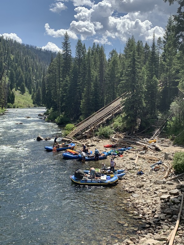
Updated: 10/15/2024
Boundary Creek Boat Launch
Landmark, Idaho
Boundary Creek Boat Ramp is a worthy short offshoot from Dagger Falls Road. The boat ramp is one of the premier staging areas for seven-day whitewater rafting trips through the Frank Church River of No Return Wilderness Area. Watch rafts are launched down a 100-foot slide into the river, sometimes with a person manning the oars, ready to hit the water and start rowing.
There is a Forest Service campground above this boat launch with primitive camping.
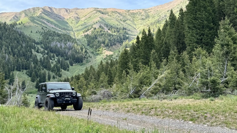
Updated: 11/30/2025
Lake Creek Road
Sun Valley, Idaho
In a valley nestled between 9,000-foot mountain ridges sits Lake Creek Road, an easy 4.5-mile out-and-back trail with scenic views and access to spectacular camping, fishing, and hiking.
Lake Creek Road begins at the end of a paved road in a neighborhood. It becomes a graded dirt road for 3.5 miles before turning into a dirt two-track.
There are at least a dozen turnouts and established camping spots, most right next to the crystal-clear Lake Creek. At the 3.5-mile mark, there is a day-use picnic area with a fire ring, picnic table, and vault toilet. This location also offers a spring-fed pond with excellent trout fishing opportunities.
This trail also has two moderate to challenging hiking trails - Taylor Canyon Trail and the High Ridge Trail.
Located close to Ketchum and Sun Valley, it offers plenty of local restaurants, stores, and attractions like the Ernest Hemmingway Memorial and gravesite.
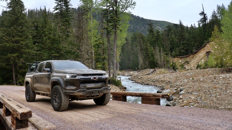
Updated: 06/04/2026
Lightning Creek
Clark Fork, Idaho
Tucked deep within the lush Idaho Panhandle National Forest, Lightning Creek Road #419 offers a scenic and peaceful backroad escape. It's perfect for those looking to unwind, explore, and maybe even cast a line. Stretching about 16 miles, this well-maintained gravel road follows the path of its namesake creek, weaving through dense forest and revealing hidden pockets of tranquility along the way.
One of the true gems of this route is the abundance of boondocking opportunities. Just yards from the creek, you’ll find spacious, private pullouts ideal for small campers or travel trailers. These spots are far enough off the main road to feel secluded, yet close enough to reach easily. Wake up to the sound of flowing water, enjoy your morning coffee beneath a canopy of trees, and spend your evenings around the campfire under star-filled skies.
This area is the wettest in Idaho, receiving an average of 90 inches of precipitation each year. It’s no surprise the landscape is so lush and vibrant. The road is generally wide enough for two vehicles to pass comfortably, with several spur trails and open spaces that invite a quick stop, a scenic lunch, or setting up camp for the night. Whether you're into fishing, exploring on foot, or simply relaxing by the creek, Lightning Creek Road offers an unforgettable slice of Idaho backcountry.
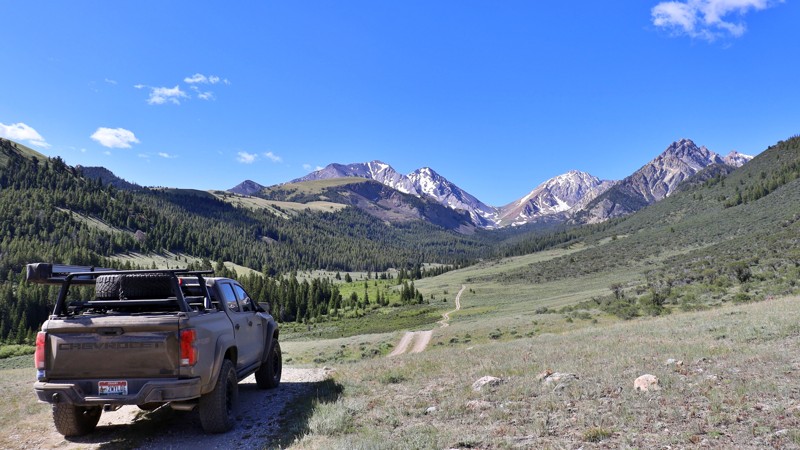
Updated: 08/11/2025
West Fork Pahsimeroi
Dickey, Idaho
The West Fork Pahsimeroi Road leads deep into the heart of Idaho’s wild Upper Pahsimeroi Valley. Known for its dramatic remoteness and alpine grandeur, this trail winds beneath the towering summits of the Lost River Range, offering views of Idaho’s highest peaks, including Mount Borah and Leatherman Peak.
Accessed via the Upper Pahsimeroi Road, this spur quickly turns primitive, with rough conditions that require a high-clearance vehicle and, in many spots, 4-wheel drive. Expect washouts, exposed rock shelves, and narrow ledges as you climb toward the trailhead.
Despite the moderate challenges, the payoff is immense. The road serves as a gateway to some of the region’s premier hiking and climbing destinations, including the Mahogany Creek drainage and the rugged approaches to Leatherman Peak. At the road’s end, the West Fork Upper Pahsimeroi Trailhead provides access to stunning alpine routes like the Merriam and Pass Lake Trails.
Here, you'll also find primitive campsites complete with picnic tables and established fire rings, ideal for basecamping in a place that feels worlds away. For those seeking high adventure, solitude, and front-row views of Idaho’s tallest mountains, the West Fork Pahsimeroi delivers in full.
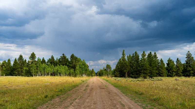
Updated: 10/15/2024
North Antelope Flat
Island Park, Idaho
As one of the central veins in this trail network, North Antelope Flat is an easy, packed dirt road taking you from Highway 20 through the Targhee National Forest and ending near the base of Bishop Mountain. Although it is often dry, this road can become rather sloppy with passing thunderstorms that frequent the area. Wildflowers are abundant during the spring and summer, so combine this with South Antelope Flat for a wonderfully colorful few hours. Camping was not seen directly on this trail, but many other trails in the area offer dispersed camping.
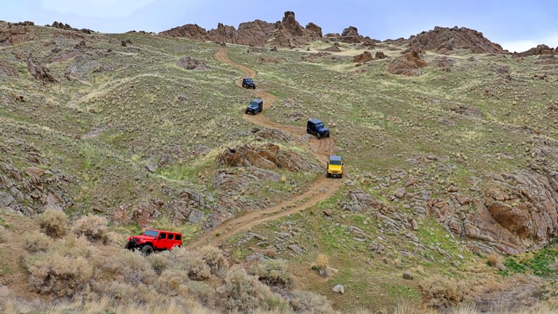
Updated: 06/30/2025
Pigeon Road
Wilson, Idaho
Known locally as part of the Wilson Peak Loop, Pigeon Road wraps around the east and south sides of Wilson Peak. The road starts and ends at Wilson Creek Road, and is a scenic drive that rewards adventurers with fantastic views overlooking the charming community of Wilson and the rugged beauty of the Owyhee Mountain Range. You can kick off your journey from either the north or south trailhead, but be prepared—about 4 miles of this route are marked "Motorized Travel Not Recommended." This stretch is thrilling, featuring heavily eroded sections, washed-out roadbeds, and sizable boulders demanding careful tire placement to avoid steep drop-offs. High clearance and 4WD are essential, and a locking differential will make tackling the trickiest parts a little easier. While you won't find any official campsites, numerous spur roads branch off to secluded areas that could make for perfect dispersed camping spots.
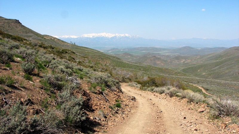
Updated: 10/15/2024
Davis Mountain Road
Hill City, Idaho
Davis Mountain Road is a non-maintained rock, gravel, and dirt trail through the Bennett Mountains north of Gooding, Idaho. The surface is often very rocky, rough, and steep, making a four-wheel drive vehicle with good ground clearance and proper tires a must. The road climbs in and out of several deep valleys, has multiple water crossings, and numerous tight switchback turns. Anticipate climbs steeper than 15°.
Davis Mountain Road follows along the north edge of both the Deer Creek Wilderness Study Area and the Gooding City of Rocks East Wilderness Study Area. While motorized travel within the WSAs is not allowed, there are a couple of cherry stem and through-road incursions into the WSAs where motorized travel is allowed. Whether traveling the main road or an incursion, it is important to stay on the designated road and respect the near-wilderness aspects of the area.
Dispersed camping is allowed along Davis Mountain Road, and there are numerous likely places to set up for the night. Where the road borders a Wilderness Study Area, camping inside the WSA is allowed—but you have to walk into the chosen site as vehicles are not allowed in the WSA. Potential dispersed campsites are near small springs and streams, but, at least in early May, the mosquitoes would make camping in those spots less than pleasant.
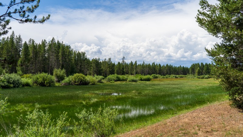
Updated: 10/15/2024
Graveyard Flats
Gerrit, Idaho
Graveyard Flats in an uneventful packed-dirt road through the Targhee National Forest right below Lookout Butte. This trail splashes through a couple of mud puddles before connecting with West Hatchery Ford. Camping was not found along this trail. Hhowever, there are multiple options in the area if you are looking to spend the night in the woods.

Updated: 01/09/2025
Sagehen Spur 626BA
Cascade, Idaho
Sagehen Spur 626BA is in the Boise National Forest, less than 2 hours north of Boise. The main road, Sagehen Reservoir Road, has lots of spur trails like this one where you will find dozens of dispersed camping sites. This trail has Tripod Meadow opposite the trailhead which has the Tripod Creek running through it. The meadow is a beautiful location to watch for the wildlife that calls this area home. Besides deer and elk, be aware of bear and mountain lion as well. Watch yourself, your children, and your pets accordingly.
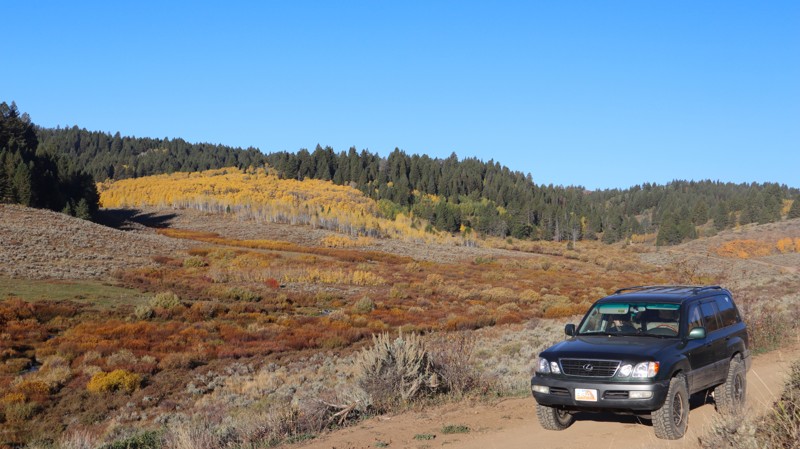
Updated: 11/15/2025
Inman Toponce Road
Inkom, Idaho
This is a popular area for outdoor recreation with access to camping and many other offroad trails. This can make it quite dusty when dry, as the dirt has been well pulverized to fine dust. Almost any vehicle could make this trail, with sharp curves and steep hills being the biggest challenges. It also contains scenic mountain views that become colorful in the fall. There's a big staging area near the west end where you can leave a trailer and take your motorized vehicle into the forest. There are a few obvious camping spots just off the road and dispersed camping all along this road. At the end of this trail, it turns into a 50" wide or less ATV trail.

Updated: 10/23/2023
Timber Flat 666A1/A2
Horseshoe Bend, Idaho
Timber Flat 666A1/A2 is in the Boise National Forest and south of the area known as Sagehen Reservoir. A1 and A2 are actually spur trails from the main Timber Flat. It was decided to combine these two shorter trails into a nice 1.2-mile trail since it loops onto itself at the trail's end. This area is less than 2 hours from Boise, making it the perfect getaway spot for a few hours of offroad wheeling, camping in one of the dozens of dispersed campsites you can find on these trails, or being a bit more comfortable in one of four improved campsites at the lake. The rainbow trout fishing will be fantastic in 2021 since the campgrounds have been closed all of 2020 because of logging activities for fire management. Beautiful bull elk can be spotted along this trail, as well as much other wildlife.
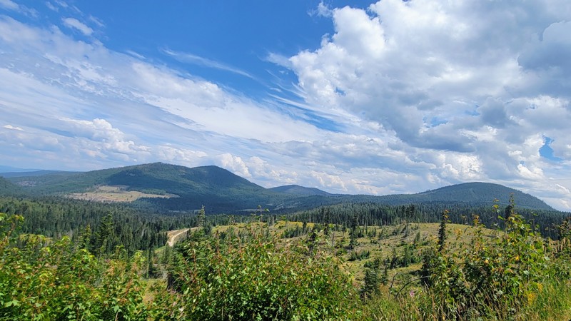
Updated: 06/04/2026
Fishhook Creek Road
Avery, Idaho
Fishhook Creek Road winds through the breathtaking mountains of northern Idaho, threading its way into the heart of the Idaho Panhandle National Forest. You’ll see spectacular views as you traverse around Widow Mountain.
This is an active logging road toward the north end, which is a wide, double-lane gravel road. Be careful and watch out for logging trucks barrelling down the road if you’re there during working hours.
Little North Fork Clearwater Campground is a small campground located on the river that shares its name. There are only a few spots and no facilities. The only other campground is called Orphan Saddle, which does have vaulted toilets, and each site has a picnic table and fire ring.
This is not for beginners; there are some tricky, rocky sections in the middle of the trail, while both ends are relatively easy. 4WD and high clearance are a must for this trail on the rocky sections. The north end of the trail is a tiny town named Avery, and the other end of the trail is in Clarkia in the southwest.
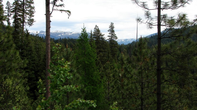
Updated: 10/15/2024
Smokey Boulder Road
Devils Ladder, Idaho
Smokey Boulder Road is an easy gravel bypass around New Meadows, Idaho, and it can be driven by any vehicle. The major hazards are blind curves and moderate washboards in places. Much of the road travels through dense forest.
Camping is interesting, with many designated, signed, and numbered campsites along the ridge portion of the road. It is set up like a linear campground, with up to about a quarter mile between sites. Some sites have fire pits and pit toilets, while others don't. A few sites are accessible pulling a trailer, but many are not.
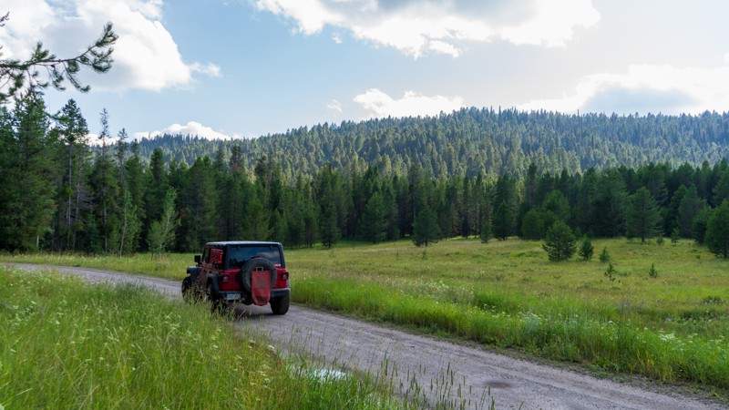
Updated: 10/15/2024
South Antelope Flat
Island Park, Idaho
The most popular trail in this network, South Sheep Falls, is a maintained dirt and gravel road with access to incredible camping, hunting grounds, hiking trails, wildflower viewing, and bird watching. Jogging over 13 miles through the Targhee National Forest, combine this with North Antelope Flat for a wonderful drive through the trees and breathe in the fresh air. There are nearly endless camping options from small and tucked away to large enough to handle RV's.
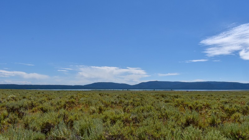
Updated: 10/15/2024
Old Shotgun Road
Rea, Idaho
Looking to venture off the beaten path when visiting the greater Yellowstone area? Then maybe set your sights on Old Shotgun Road. This quirky trail's name remains shrouded in mystery, adding a touch of curiosity to your adventure. As you explore, you'll find yourself amidst fields of lush green grass, with grazing cattle congregated near the many creeks that cross under the road. The trail offers views of the Henrys Fork Caldera rim, a reminder of the region's volcanic past. The surrounding caldera was formed approximately 1.3 million years ago, and over time, it has filled in with basaltic lava flows, resulting in the flat topography experienced on this trail. Depending on your source, you'll also hear this called the Island Park eruption.
There is no camping along this trail but continue onto Lower Sheridan Ranch Road for great campsites with trees for shade and windbreak. There are more camping opportunities along Yale-Kilgore Roads as well.
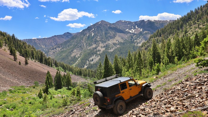
Updated: 10/15/2024
Little Fall Creek
Sun Valley, Idaho
Little Fall Creek Road offers stunning views of the Boulder Mountain Range. This rugged old mining road is narrow and rough, but a high-clearance vehicle will easily take you up to 7,800 feet. Beyond that point, the road becomes more challenging, with large rocks to navigate between 8,000 and 8,200 feet. The last 0.7 miles are not recommended for full-size vehicles due to tight switchbacks and fallen logs that could damage sides and tires. At the trail's end, you'll see a historic miner cabin, a testament to the area's past.
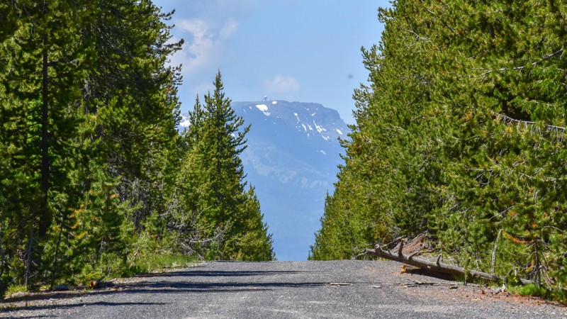
Updated: 10/15/2024
066
Big Springs, Idaho
066 is an easy trail with some ruts, connecting West Yellowstone to Island Park via South Fork Madison. The trail has some decent views, and it is a pretty drive. Dispersed camping is allowed in the area, with a few spurs to campsites in the lower trail elevations.
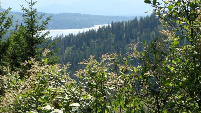
Updated: 08/11/2025
Railroad Grade Road
Rockaway Beach, Idaho
Railroad Grade Road offers easy and interesting access between US 95 and FS 206, also known as Little North Fork Road. The Grade is an easy drive on a good, two-lane, gravel road that is in reasonably good condition. It can be driven by any vehicle with reasonable ground clearance. Railroad Grade Road winds up from Little North Fork Road, tops a ridge, and winds down to the valley near US 95.
Because this is a major access road into the Idaho Panhandle National Forest, it is likely to be busy, especially on weekends. Although the road surface is in reasonably good shape, it is pretty dusty, and there are numerous blind curves where extra caution should be exercised. Dispersed camping is permitted, and several nice, existing sites are available to choose from.
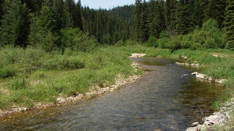
Updated: 06/29/2026
Little North Fork Road
Lakeview, Idaho
Little North Fork Road is a scenic gravel route that closely follows the North Fork of the Coeur d'Alene River for most of its length. This well-worn two-lane road is accessible to most vehicles with moderate ground clearance and provides constant visual access to the river, creating a peaceful and immersive driving experience. The northern end of the route winds through dense forest with limited long-range views, while the southern stretch opens into broader vistas with striking mountain backdrops.
The road surface is typical forest gravel, though much of the gravel has worn away, leaving behind patches of exposed base rock and small potholes. These conditions can make the ride feel slow and bumpy, especially around the many blind corners that demand caution. Despite the rough sections, the road remains manageable for most stock SUVs and trucks.
Dispersed camping is allowed along the route, and there are plenty of pre-established sites, especially at the northern and southern ends. Whether you're in it for riverside views, peaceful forest camping, or a quiet mountain drive, this road offers an enjoyable off-pavement escape for casual and seasoned adventurers alike.
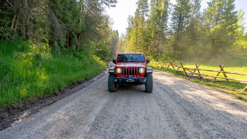
Updated: 12/14/2025
Table Rock Canyon
Poplar, Idaho
Table Rock Canyon is a connector chock full of dispersed campsites. The Table Rock Campground is also located roughly at the trail's halfway point. The road is easy and seems to be continually well-maintained as it sees a lot of traffic and use. There are lots of ATV and moto trails in the area, be aware of recreational motorized traffic.
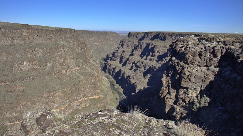
Updated: 10/15/2024
Bruneau Canyon Overlook
Hot Springs, Idaho
The Bruneau Overlook offers a convenient vantage point above Bruneau Canyon, which the Bruneau River sculpted through basalt and rhyolite formations. Visitors witness the untamed beauty of the wild and scenic Bruneau River as it flows out of the Bruneau-Jarbidge Rivers Wilderness area. At the end of the road, well-frequented hiking trails run along the canyon's rim, attracting hikers and birdwatchers alike. Additionally, a pit toilet is available at this location. There are no campsites along the trail.
Be mindful of cattle that may be present along the road.
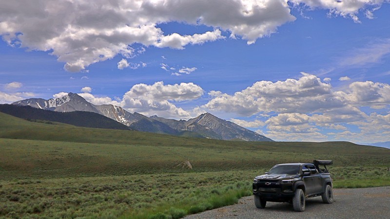
Updated: 08/11/2025
Doublesprings
Dickey, Idaho
Doublesprings Road (FR 116) is a gravel backroad that winds through the wild and scenic terrain of Custer County, Idaho. Starting about 22 miles north of Mackay off US-93, it climbs steadily between the Lost River and Lemhi ranges, topping out at Doublespring Pass, a wide saddle offering sweeping views of Idaho’s highest peaks, including Borah, Leatherman, and Breitenbach.
This easy, graded road is more than just a scenic drive. Just a few miles in, travelers pass the Mount Borah earthquake site, where interpretive signs detail the dramatic 1983 quake and visible fault scarp. It’s also a launch point for offroad exploration into the spectacular Upper Pahsimeroi and West Fork Pahsimeroi Valleys, with river canyons and remote trails that feel worlds away.
Wildflowers, wildlife, and the quiet hum of high-country solitude make this drive especially rewarding in summer and fall. While there are no developed campgrounds, dispersed camping is available along wide pull-offs and side tracks.
Best traveled between late spring and fall, Doublesprings Road offers a blend of geological wonder, mountain views, and backcountry access that captures the rugged soul of central Idaho.
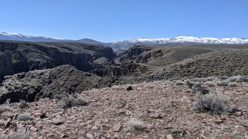
Updated: 10/15/2024
C900 Trail System
Spiry Place, Idaho
The C900 trail system in the Owyhee Desert follows the northwest side of Castle Creek Canyon. C900 ends at an open pit gravel/sand mine. Numerous spur trails go to the canyon rim with spectacular views. The vertical walled canyon and its many branches are cut through layers of basalt. Castle Creek can be heard at the bottom of the canyon, but it can't be seen unless one is willing to brave the precipice. The main canyon is deep and narrow, often deeper than it is wide.
Dispersed camping is allowed in the area, and several smaller trails end right above the canyon in acceptable camping areas. Also, sites along the main trail can be used for dispersed camping.
The trails alternate between smooth dirt and gnarly rocky stretches. Because the rocks are numerous and sharp, good tires and ground clearance are necessary. While not technical, 4WD is recommended for these trails.
Owyhee County in Southwest Idaho has over 5000 square miles of desert, canyons, and mountains. There are no services in the entire area, and cell coverage is spotty. Being adequately prepared for almost any contingency is a must. Because there are multitudes of crisscross trails, many of which look similar, a good navigation system and a backup system are needed, and the knowledge to use them is necessary.
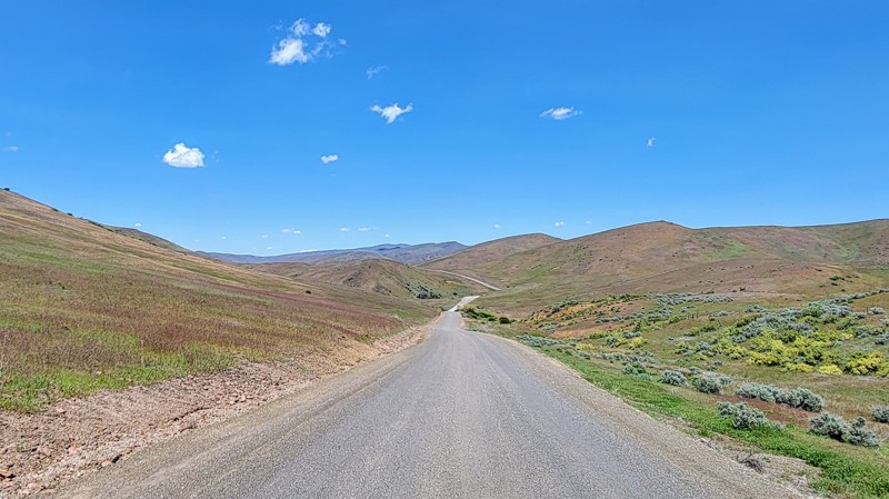
Updated: 10/15/2024
North Crane Road
Ola, Idaho
North Crane Road runs through BLM land and provides a dynamic landscape. As you drive through the lush rolling hills and canyons, you’ll get great views of the surrounding West Mountains to the east.
The road is mostly gravel and well-maintained, so no 4WD is needed. However, some stretches travel down a steep drop with no guardrail, so watch your speed going around the corners. Also, it is an open range, so beware of livestock on the road.
North Crane Road intersects Big Flat Road in the south and South Crane Road in the northwest, where Crane Creek Reservoir is located.
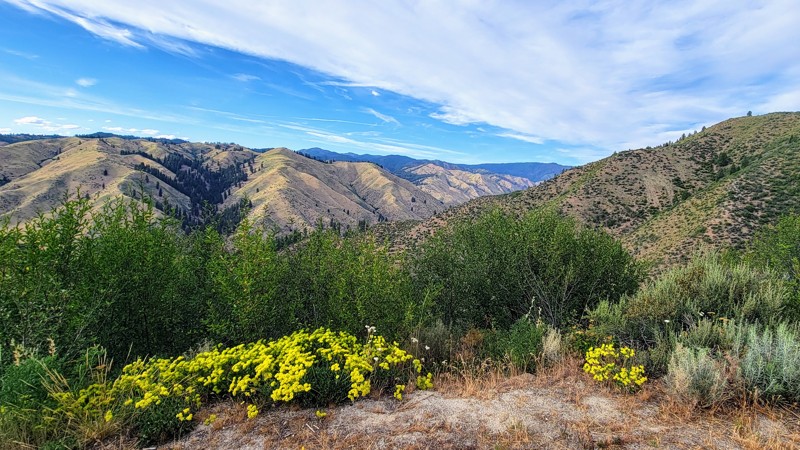
Updated: 11/10/2025
Grimes Pass Road
Grimes Pass, Idaho
Grimes Pass Road is a scenic, easygoing mountain route that winds through the Boise National Forest, just north of Idaho City. This well-graded dirt road traces the historic path of early miners and settlers, crossing through pine-studded ridges and open meadows as it connects the Banks-Lowman Scenic Byway to New Centerville, passing through the historic mining town of Pinoeerville. The elevation tops out around 4,800 feet at Grimes Pass, offering sweeping views of forested hills and the occasional glimpse of distant peaks.
The road is suitable for most vehicles in dry conditions, including stock SUVs and crossovers. While the terrain is generally smooth, occasional washboards, ruts, and potholes may appear depending on recent weather. Numerous spurs branch off the main route, leading to old mining sites, dispersed campsites, and deeper trail networks that offer more challenge for those looking to explore. There aren't any campsites along this specific road, but on Southfork Road in the north, there are great campsites along the Payette River.
Grimes Pass Road is a great choice for newer drivers or anyone looking for a relaxed offroad cruise through classic central Idaho backcountry. It provides a quiet, forested alternative to the busier paved routes and is especially beautiful in the fall when the aspens and larches begin to turn. Keep an eye out for wildlife, historic remnants, and signage marking the area’s Gold Rush past.
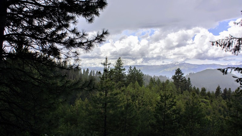
Updated: 06/07/2019
Left Fork Danskin Creek
Banks, Idaho
649 Left Fork Danskin Creek Trail is in the Boise National Forest - Emmett Ranger District, less than 2 hours north of Boise. You'll pass through Garden Valley a few miles before the trailhead which is absolutely beautiful and noted for the large herds of elk for your viewing. Most of the trails above Garden Valley were used by the logging industry from the early 1900s, but when Boise Cascade started shutting down the mills in the 1990s, logging slowed dramatically. If you're into getting away from the crowds to disperse camp, you have to check out the site along this trail. The views are beautiful and the area is large, flat, and surrounded by pine trees. Pets are allowed but remember, there are larger animals that call this place home nearby.
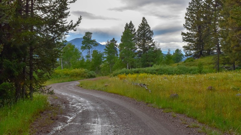
Updated: 10/15/2024
Meadow Creek Road
Big Springs, Idaho
Traveling from Big Springs to Highway 20 and Henrys Lake Flat, this gem of a trail runs through tall spruce, dense forest to green grass, aspen trees, and miles of meadows. There aren't any day-use or camping sites, with most of this trail running through private property.
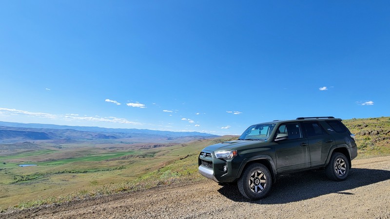
Updated: 10/15/2024
South Crane Road
Indian Valley, Idaho
South Crane Road runs from just east of Weiser, OR, to Crane Creek Reservoir in the north. You'll see the West Mountains and the Sawtooth Mountains to the east and rolling hills all around as you drive down the windy, well-maintained gravel road.
You'll travel through BLM land, so camping is allowed off the road. The spur to the trail's north end will take you to the reservoir, traveling a slightly rougher dirt road, but no 4WD is required. This is an open range, so watch out for livestock.
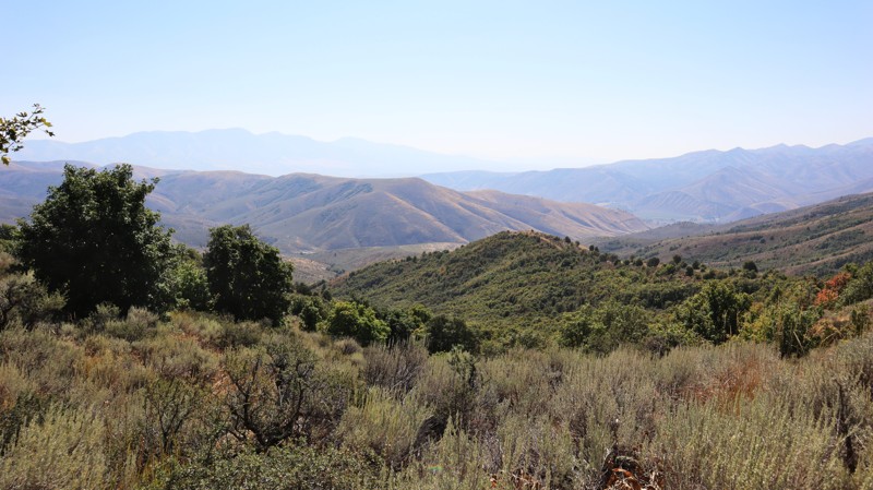
Updated: 11/15/2025
Chinese Peak
Blackrock, Idaho
Located within the Chinese Peak-Blackrock Trail System, Chinese Peak is a straight-through trail connecting Barton Road out of Pocatello and the primary Blackrock Trailhead. Marked as trail 0301 and traversing its namesake peak, this trail climbs to nearly 6,700 feet. The road from the north to the peak is a well-graded dirt road with mild switchbacks and moderately steep hills. South of the peak, you'll find another steep hill, a dusty shelf road, and narrow sections through thick vegetation that is guaranteed to inflict some pinstriping into your vehicle's paint. There are a couple of spots along this trail where you can camp and take in the views, but they are right along the edge of the trail.
This is a popular trail system for all user types, as there are over 40 miles of trails for motorized, equestrian, mountain biking, and hiking users. The trail system is seasonally closed from November 16th to April 15th each year.
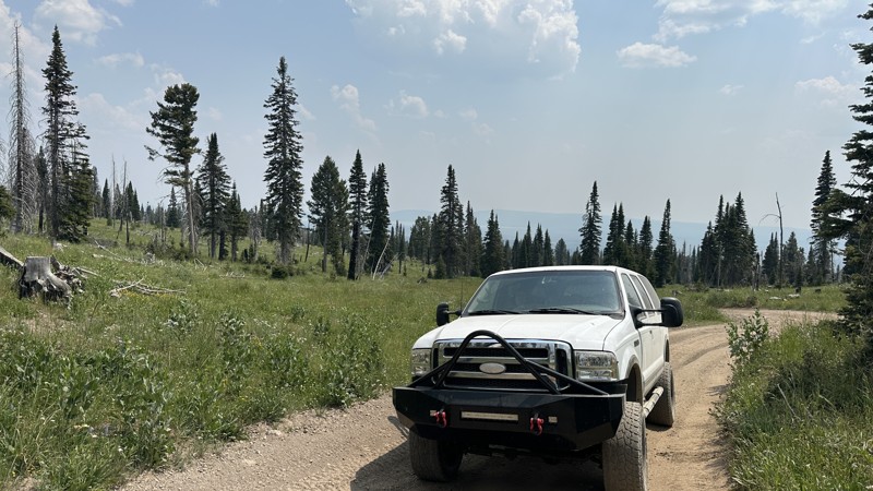
Updated: 10/15/2024
Keg Springs
Rea, Idaho
Keg Springs Road begins at about 6,600 feet in elevation from Yale Kilgore Road and ends on the continental divide between Idaho and Montana at about 9,000 feet. High-clearance 4x4 vehicles are recommended for use on this road due to its steep and rocky nature. Allow plenty of time for slower travel times due to the rocky trail conditions. The Keg Springs area is one of the best areas to experience subalpine meadows dominated by an abundance of wildflowers. Large game, including bears and moose, are often seen roaming around. No preexisting camping is found along this trail.
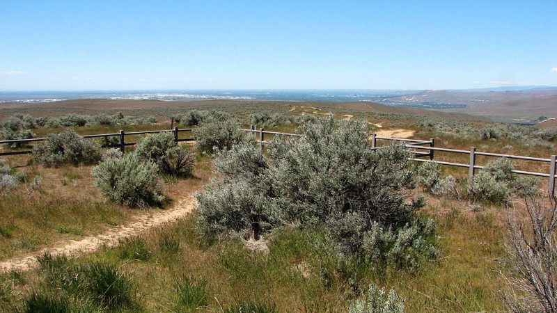
Updated: 10/15/2024
Bonneville Point Road
Blacks Creek, Idaho
Bonneville Point is named after Captain Bonneville, one of the early explorers of the Oregon Trail. When he first arrived at Bonneville Point after many days of traveling through the sagebrush steppes of Southern Idaho, he exclaimed, "The woods! The woods! See the woods!" as he viewed out across the heavily wooded Boise River Valley.
Exploring it yourself, you will find Bonneville Point Road is a well-maintained two-lane gravel road from Black's Creek Road to Bonneville Point. This short section of gravel road is the final mile and a half of the newly established Main Oregon Trail Backcountry Byway, which starts at Glenn's Ferry along the Snake River and ends at Bonneville Point. Bonneville Point is easy to access from Interstate 84 via Black's Creek Road and is a delightful stop for history buffs, anyone interested in the Oregon Trail, or simply as a break from driving for folks traveling through the area. The view over the Boise River Valley, including much of Boise, is magnificent! The Oregon Trail continues past Bonneville Point as a two-track trail designated for non-motorized use. There is no camping along the road, as much of it travels on private land.
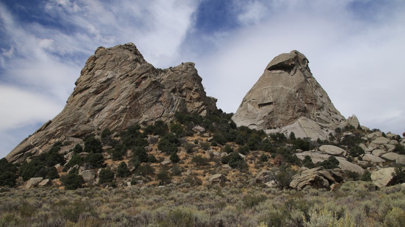
Updated: 10/15/2024
South Twin Sisters Road
Almo, Idaho
Twin Sisters begins at Register Rock and traverses a broad valley, passing two massive granite monoliths that give the road its name. Though the huge outcroppings are close together, they were formed millions of years apart before being thrust up through the earth's crust. Thus, they are hardly twins, but the name has stuck nonetheless.
Between 1845 and 1869, the California Trail saw over 250,000 easterners moving westward in search of the promised riches of the California Gold Rush. The California Trail ran through what is now the City of Rocks National Reserve, where wagon ruts are still visible beside the road today. The emigrants named the place Pyramid Valley for the pointed spires surrounding the lush central valley, a favorite camping location along the trail. A few travelers even wrote their names in axle grease on Register Rock, many of which are still visible today.
Camping in the City of Rocks Reserve is limited to designated campsites, which must be reserved. Four small walk-in tent sites and a group site sit near the Twins. Nearby Smokey Mountain Campground sits in a large juniper and pinion forest, offering 38 campsites with RV hookups. The small town of Almo hosts the Visitor Center, a small general store with a gas pump, two restaurants, and numerous commercial campgrounds.
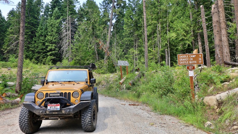
Updated: 10/15/2024
Saddle Camp
Powell Junction, Idaho
Saddle Camp Road is a gateway to adventure, offering one of the few access routes to the historic Lolo Motorway in the Nez Perce-Clearwater National Forest. This road is relatively easy to navigate, winding through a landscape that whispers tales of the past with every turn. The drive is tranquil, surrounded by dense forests and sweeping views of this wild and scenic region.
While there are no visible campsites along Saddle Camp Road, the trail is dotted with numerous spurs branching into the wilderness. These spurs provide perfect spots for dispersed camping, where you can set up camp in the quiet solitude of the forest, far from the beaten path. Saddle Camp Road invites explorers to pause, take in the beauty of the surroundings, and perhaps stay awhile, immersed in the timeless tranquility of the Nez Perce-Clearwater National Forest.
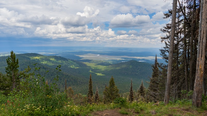
Updated: 10/15/2024
Bishop Mountain
Island Park, Idaho
Built in 1938, the Bishop Mountain Cabin housed employees of the USFS and BLM while they were on watch for wildfires. Now, it is available for rent through recreation.gov. Even if you are not renting the cabin, users of the trail can drive up to the gate just before the cabin for amazing views of Island Park Reservoir. The trail is a bumpy, packed dirt road that is often littered with ruts. 4WD should not be needed under optimal conditions, but high clearance will be your friend due to the scattered loose rocks.
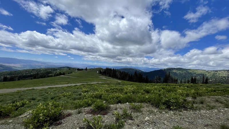
Updated: 10/15/2024
Black Lake Road
Landore, Idaho
Black Lake Road in Idaho is a scenic route that leads to the picturesque Black Lake. The road is known for its rugged beauty, winding through the mountains and offering breathtaking views of the surrounding landscape. It's a popular destination for nature lovers and adventure seekers looking to explore Idaho's wilderness.
The Placer Basin Gold Mine, roughly 2.5 miles up Black Lake Road from FD105, was discovered by Arthur Frenchie David in about 1882. A small quantity of high-grade ore was found, but the work was sporadic and yielded little metal. A mill, built about 1905, ran only one summer. Ore was hauled by wagon to the railroad.
Only a few families lived here at one time. Additional work was done in the 1930s, and another mill was built, part of which still stands. Most of the machinery was later salvaged and hauled away.
You can see Smith Mountain Lookout from the road up, and you won't want to miss the beautiful views from it, which is only a 10-minute detour. If you don't have the clearance for this road, it's still worth the 5-to-10-minute hike up!
Camping is best suited for Black Lake Campground.
If your destination is Smith Mountain and not Black Lake, the road is usually open by June.
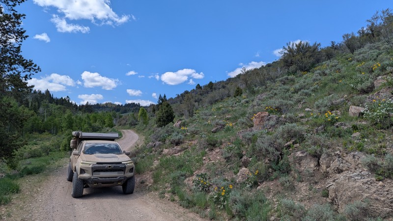
Updated: 06/23/2025
Fish Haven Canyon
Fish Haven, Idaho
This trail cuts through the Bear River Range and offers a peaceful and scenic drive through pine and aspen groves. With gentle grades and a smooth dirt surface, it's suitable for a wide range of vehicles. Dispersed campsites are scattered along the trail, some tucked into the treeline, others large and open, making them ideal for group gatherings or larger vehicles. Whether you're looking for a relaxed day drive or a basecamp for exploring surrounding routes, this trail delivers a quiet, laid-back backcountry experience without technical demands.
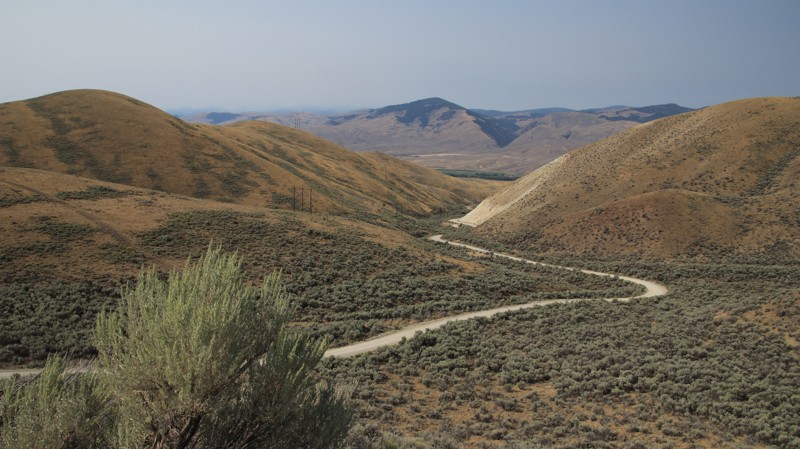
Updated: 10/15/2024
Warm Springs
Tendoy, Idaho
Warm Springs, FR 185, is part of the Lewis and Clark Back Country Byway. The trail climbs from the Lemhi River Valley to Lemhi Pass. The well-maintained dirt road has steep climbs, sections of shelf road, and numerous blind curve switchbacks. Beginning in sagebrush-covered hills, the trail enters a mixed conifer forest with scattered aspens before breaking out into alpine meadows near the top.
Sharkey Hot Springs is located near the bottom of the trail. Natural springs have been routed into two soaking pools, which have vault toilets and changing rooms. There is a fee for using the springs, which can be prepaid on rec.gov.
The road crosses the Continental Divide Trail, a north/south hiking trail that spans the US. Near Lemhi Pass, there are several pullouts with informative signage, while the pass itself provides amazing views eastward into Montana and westward into Idaho. Users will find numerous other trails connected at Lemhi Pass.
There are very limited camping opportunities along this road. Look elsewhere to camp.
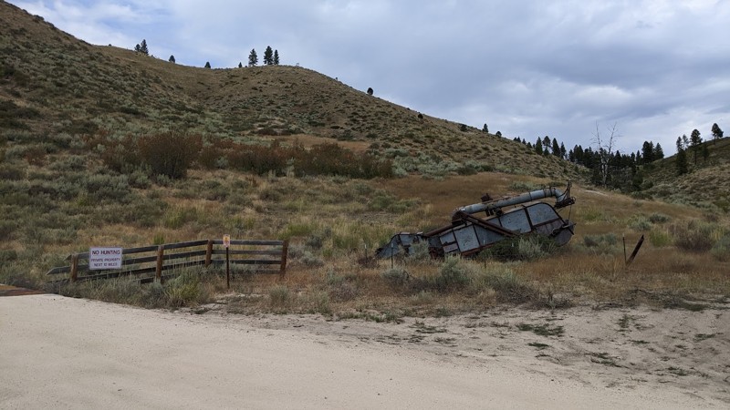
Updated: 09/03/2025
Meadow Creek Road
Prairie, Idaho
Meadow Creek Road, FS 128, runs from Prairie, Idaho, to Fall Creek Road. The western portion combines BLM and private land, while the eastern portion runs through the Boise National Forest. During the summer, Meadow Creek Road is a well-maintained, mostly two-lane gravel road, but it is not maintained in the winter and is generally closed by snow. Starting in Prairie, the western portion is straight, with good views of the more distant mountains to either side of the road, with interesting lava mounds and rim rock closer. The eastern portion winds through narrow scenic canyons, particularly in the national forest. The primary hazard of this road is the gravel surface, which can sometimes feel slippery, combined with the many sharp and switchback turns.
Plenty of options exist for dispersed camping along the forest service part of the road, often with a stream nearby. Ice Spring Campground, a nicely developed forest service campground, is on the western end of Meadow Creek Road, where it meets Fall Creek Road. The campground offers picnic tables and a pit toilet.
In addition to being a pleasant drive, Meadow Creek Road provides access to numerous smaller and more challenging roads, House Mountain Road, Trinity Mountain Road, and Anderson Ranch Reservoir via Fall Creek Road.
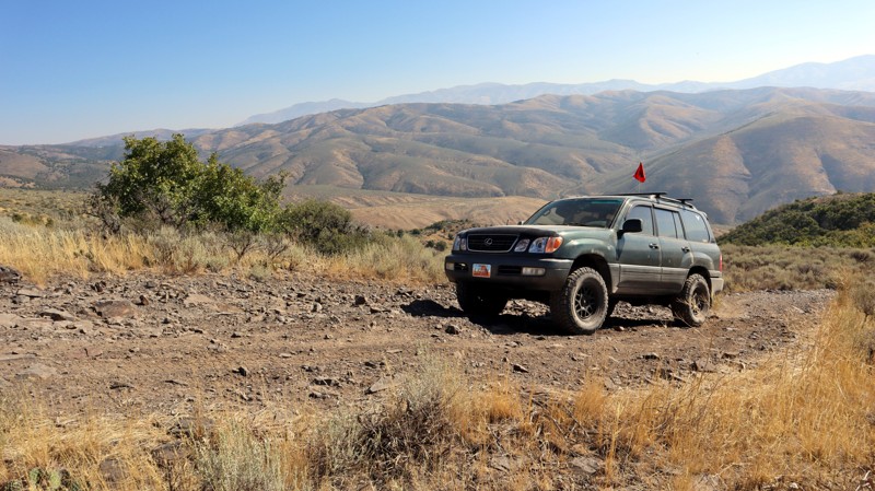
Updated: 11/15/2025
Southern Chinese Peak
Blackrock, Idaho
Located within the Chinese Peak-Blackrock Trail System just east of Pocatello, South Chinese Peak, trail 03110, is a connector road between I-15 and the Chinese Peak trail. This trail is a rough dirt road with steep climbs, gaining 1,800 feet along its nearly 4-mile-long trek. There is a small staging area along the south end of the trail at North Blackrock Canyon Road and a much larger staging area with sheltered picnic tables, fire rings, and vaulted toilets a bit farther up North Blackrock Canyon Road.
This is a popular trail system for all user types, as there are over 40 miles of trails for motorized, equestrian, mountain biking, and hiking users. The trail system is seasonally closed from November 16th to April 15th each year.
There are no established campsites along this trail.
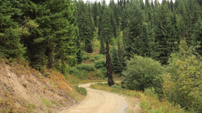
Updated: 10/15/2024
Parachute Hill
Powell Junction, Idaho
Running between the incredibly scenic Highway 12 and the historic Lolo Motorway, Parachute Hill is a steady climb into the Clearwater National Forest. Mixed conifers line the sides of this easy, winding trail. The upper section is along a steep shelf, so you should stop if you want to admire the views. Plunging off the side wouldn't be enjoyable.
Several good campsites are along the trail. The nearest to Highway 12 is a pull-through suitable for almost any rig. Another site on the east side of the trail has a unique wooden bench beside the fire ring and plenty of space for multiple rigs. The final campsite at the intersection with FR 5650 has room for several rigs. Nearby Powel campground offers water, picnic tables, and fire rings alongside Lochsa River. The historic Lochsa Lodge offers a restaurant, a small convenience store, expensive fuel, and lodging.
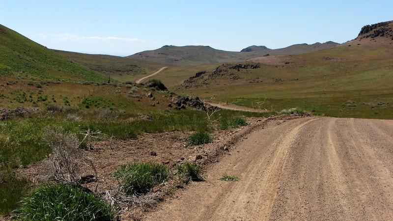
Updated: 10/15/2024
Immigrant Road
Sebree, Idaho
During most of the year, Immigrant Road is a well-maintained gravel road that is easy to drive and can be driven in any vehicle. However, there is no winter maintenance, so it can be dicey to drive during the winter. The west half of the road is mostly straight and runs along the foothills of the Bennett Mountains. The east half of the road runs through part of the Bennett Mountains; this section has significant climbs that twist and turn up and down the grades.
About midway along the road is an information board describing Kelton Road, Site 6 of the Main Oregon Trail Backcountry Byway. Kelton Road was a popular freight route bringing goods from the Transcontinental Railway at Kelton, Utah, up to Boise, Idaho.
Although dispersed camping is allowed on public lands bordering Immigrant Road, there are no obvious places to set up. Two sections of private land should be avoided if you decide to camp.
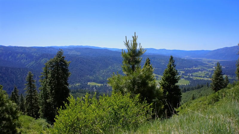
Updated: 06/05/2022
East Fork Scriver Creek
Garden Valley, Idaho
The beauty of southwestern Idaho is second to none, with hundreds of off-road trails available for exploration. You'll pass through the town of Crouch to get to the trailhead, a population of less than 200 with a couple of restaurants, a market, and a hardware store. Crouch is a hub for trails like this one, plus whitewater rafting and kayaking on the south fork of the Payette River. You'll share this trail with other 4-bys, plus side x sides, motorcycles, elk, and deer.
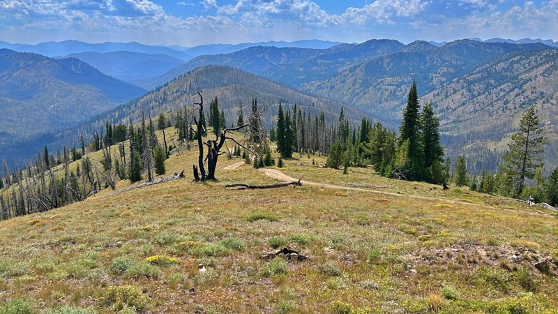
Updated: 10/15/2024
Feltham Peak
Bonanza, Idaho
Feltham Peak, NF-174, is a picturesque path to the summit and the historic Feltham Peak Lookout remnants. This lookout, which has a history dating back to 1926, gradually succumbed to disrepair after World War II. All that remains today are its enduring pier footings and a solitary flagpole. From the elevated vantage point of Feltham Peak unfolds an extraordinary visual spectacle. An unmatched panorama stretches across the Salmon-Challis National Forest's expansive beauty and the neighboring landscape's rolling peaks. Feltham Peak is worth the short drive from the Pinyon Peak Loop to enjoy the views. There is camping at the trailhead or the summit near the pier footings of the former lookout.
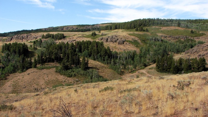
Updated: 10/15/2024
Winecup Road
Iversons, Idaho
Winecup Road leaves Deadline Ridge, drops into the Goose Creek Draw, and runs somewhat parallel to Deadline Ridge Road until it enters Nevada, turning west and reconnecting with it. Winecup Road has a native surface of sand and gravel and sections with considerable rock. On the north end, Winecup is a reasonably nice gravel road, but towards the south, it degrades into a mostly gravel and sand two-track. Because of the rocky areas and some relatively short but steep and rocky climbs, good ground clearance is required, and four-wheel drive is recommended. Dispersed camping is allowed, but there are no great places where other people have established camps. Winecup Road is open range, so cattle and sheep may be encountered.
The north end of Winecup Road winds down from the ridge through stands of aspen, pine, and fir mixed with open areas of grass and sagebrush. The contrasts on the hillsides are pretty impressive! As you drive south, the trees disappear, and the vegetation turns into a sagebrush desert with a good mix of rabbit and bitterbrush.
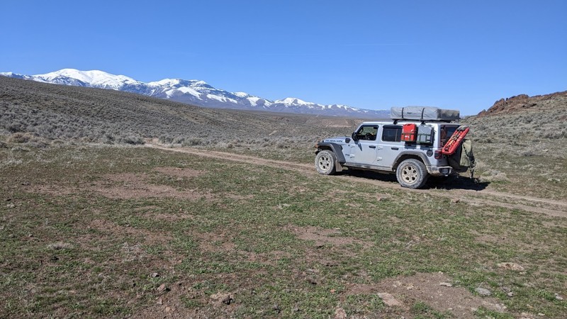
Updated: 10/15/2024
C700
Spiry Place, Idaho
C700 is accessed off Adler Creek Road, south of Oreana, Idaho. The early section of the trail is relatively smooth and easy through a series of gullies. The trail drops off the high plateau about midway, winding down a long, steep ridge with tight turns. The ridge has spectacular vistas of the Sawtooth Mountains to the north and deep canyons. After about 6.4 miles, the trail enters private property, although there is no fence or signage. At that point, out of respect for the landowners, it’s best to turn around and find another trail to get back to Adler Creek Road or wherever your front bumper leads you!
This trail has a maximum of 18 degrees of pitch and 15 degrees of roll. 4WD, good tires, and good ground clearance are a must. C700 is a fun road to drive, with just enough challenges to make it exciting but not scary.
Dispersed camping is allowed in the area, and there are several likely spots to set up camp.
Owyhee County in Southwest Idaho has over 5000 square miles of desert, canyons, and mountains. There are no services in the entire area, and cell coverage is spotty. Being adequately prepared for almost any contingency is a must. Because there are multitudes of crisscrossing trails, a good navigation system, a backup system, and the knowledge to use them is a must.
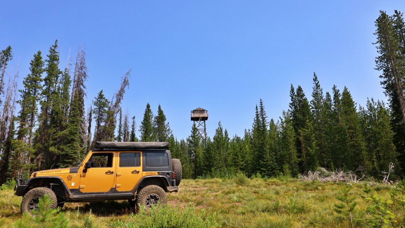
Updated: 10/15/2024
Weitas Butte Lookout
Musselshell, Idaho
Nestled along the historic Lolo Motorway, Weitas Butte Lookout offers a tranquil retreat amidst the rugged beauty of the Nez Perce and Lewis and Clark National Historic Trail. With expansive views of the Nez Perce-Clearwater National Forest, this lookout provides a unique opportunity to immerse oneself in the serene wilderness. Weitas's name is a sanitized version of its original name, "Wet Ass," likely coined by soldiers during General O.O. Howard’s Nez Perce campaign or by engineers working in the area. The Forest Service later changed it to Weitas, a more refined but less descriptive name.
This trail is unmaintained and, due to its steep grade, is prone to washouts, making it challenging for anything other than a high-clearance vehicle.
Constructed in 1931, the original lookout featured a 30-foot pole tower topped with an L-4 cab, and a garage was added in 1935. The current 53-foot treated timber tower, built in 1953, was among the first to be included in the Recreation Rental program in 1983. However, due to safety concerns, it is no longer used as a rental and remains on standby today.
Camping is available either beside the lookout or in the meadow below, where an established fire ring and a nearby toilet add to the convenience.
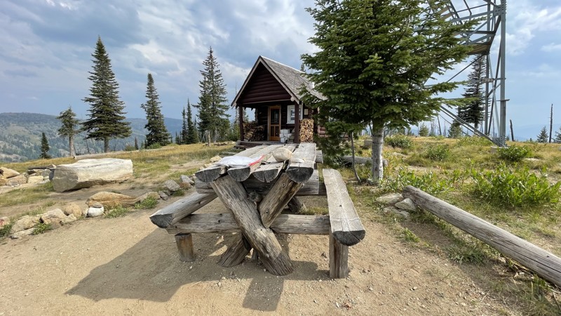
Updated: 10/15/2024
Carey Dome Fire Lookout
Green, Idaho
Since the 1920s, Carey Fire Tower has stood and is still active today. Its location was chosen due to its view in all directions of the remote backcountry in the Salmon River Mountains of west-central Idaho.
The road to the top is suitable for any high-clearance vehicle, and there is room for four to five vehicles to park. Once at the top, there is a stout picnic bench where you can enjoy lunch. The tower is seasonally staffed. If you are interested in fire towers, further reading can be found here.
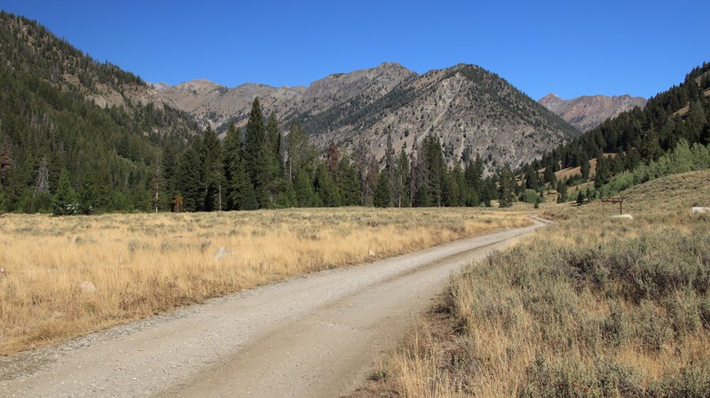
Updated: 11/30/2025
North Fork Big Wood River
Cathedral Pines, Idaho
North Fork Big Wood River is an easy out-and-back dirt road beginning off Highway 75 and ending at a hiking trailhead for the North Fork Trail. Soon after passing the Sawtooth Visitor Center, a place you must stop and enjoy, the road turns to dirt. The road follows and crosses its namesake river several times. The river has trout and several beaver dams. The road ends at a lollipop turnaround that serves as a hiking trailhead into the looming Boulder Mountains ahead.
There are several established campgrounds and 17 designated campsites along the trail. Murdock Campground can accommodate larger rigs, while Caribou Campground is more suited for tents and smaller rigs. The Cougar Dispersed Camping Area, set in a lovely area off the main road, can accommodate larger rigs and has a vault toilet. Many of the dispersed sites sit directly on the river banks. There is even a dump station and water just east of the visitor center. All camping is first-come, first-served.
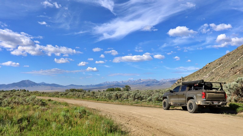
Updated: 08/11/2025
Sawmill Canyon
Clyde, Idaho
Sawmill Canyon Road (Forest Service Road #101) is an easy, unpaved road winding through the Salmon-Challis National Forest. Following the curve of Sawmill Creek, it offers access to alpine meadows, dispersed campsites, and a wide network of backcountry trails. It is perfect for OHV riders, hikers, and solitude-seekers alike.
This remote corridor is also the centerpiece of the Sawmill Canyon Project (2020–2023), a major effort to balance recreation with conservation. The project rerouted trails away from streams, installed bridges to prevent erosion, closed unsustainable user-created paths, and opened others to wider offroad vehicles, all while restoring wildlife habitat with the help of over 800 volunteer hours.
Despite being unpaved with the occasional pothole, the road is suitable for RVs and towable trailers. Primitive campsites, often tucked into aspen groves or beside creekside meadows, offer a peaceful base for exploring.
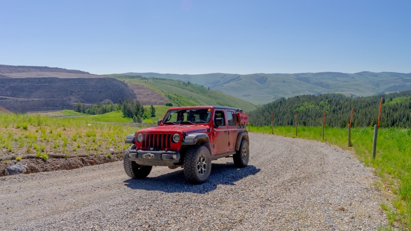
Updated: 10/15/2024
Wells Canyon
Georgetown, Idaho
Wells Canyon is a connector running between Crow Creek Road and the junction of Georgetown Canyon Road and Diamond Creek Road. The initial climb up Wells Canyon is on a wide, maintained road made of dark chunky slate-like rock. Although not challenging, the surface does make for a bumpy ride, and combined with the uphill grade, you may slip a little. At the top of the climb is a large active phosphate mine. Don't be deterred. There is well-placed signage directing you to stay safely on the public-access road. Just follow the Scout Route's gpx track. A pull-out area has information signage about the history of the mine and what the phosphate is used for. There is no camping available along Wells Canyon.
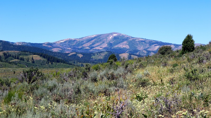
Updated: 11/15/2025
Long Gulch Road
Pebble, Idaho
Between Toponce Canyon Road and the Big Springs Camping area, Long Gulch Road is exactly as the name suggests; a long offroad trail that runs through a gulch along its southwestern section. This trail will take you up and down small canyons and through abundant dispersed camping areas, as it winds its way between The Bureau of Land Management and Caribou-Targhee National Forest Management areas. Most of the road is fairly easy to traverse, but high clearance and low-range four-wheel drive is required for some of the steeper hill climbs and rough terrain.
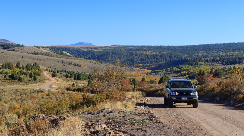
Updated: 11/15/2025
Pebble Creek Road
Pebble, Idaho
Pebble Creek Road, named for the stream it follows along much of its eastern stretch, serves as the easiest eastern entrance to the Caribou-Targhee National Forest east of Pocatello and provides the most direct route to the beautiful Big Springs Campground. This well-maintained dirt road also offers access to excellent dispersed camping spots along the way. However, the area is fairly secluded, so visitors should not expect any amenities nearby.
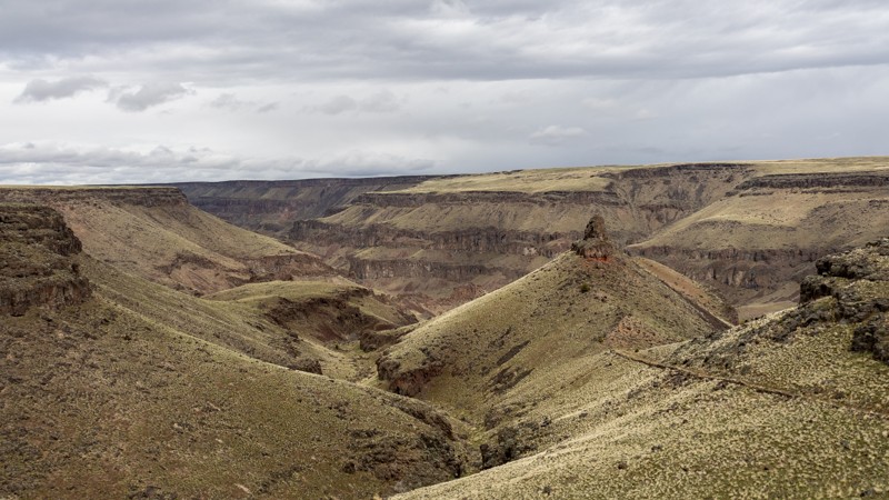
Updated: 10/15/2024
Homer Bedal Homestead
James Place, Idaho
Homer Bedal Homestead is a rarely-visited homestead with several abandoned buildings and farming implements. Please leave artifacts where they are found for future visitors' enjoyment. Portuguese immigrants once settled this land along the river, and though a fire may have swept through, several structures still stand. Midsize 4WD vehicles and ATVs are recommended, as full-size vehicles may have difficulty maneuvering around rocks on the canyon's steep grade. There are jaw-dropping views from the canyon rim down to the river below in every direction. By the river, there are areas that can be used for dispersed camping.
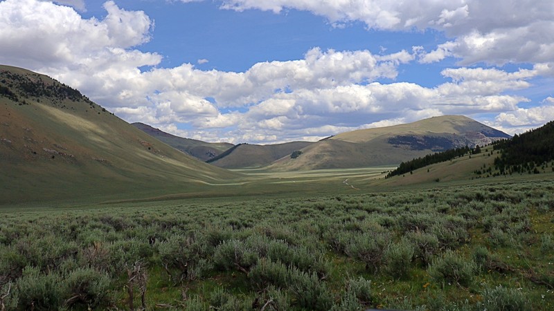
Updated: 08/11/2025
Horse Heaven Pass
Dickey, Idaho
Horse Heaven Pass is a quiet, scenic back road tucked into the backside of the Lost River Range. This single-lane, unmaintained dirt trail connects Doublesprings Pass to the Upper Pahsimeroi, offering a mellow ride through open grasslands and sweeping alpine views. Though slightly bumpy near low-lying troughs and water collection areas, the route is relatively easy and passable with high clearance.
In spring and summer, the landscape bursts to life with wildflowers, lush grass, and the occasional grazing deer, elk, or pronghorn. Though no established campsites are marked, a few spur roads lead to peaceful, tucked-away spots at the base of the range, perfect for dispersed camping.
Once used as summer pasture for wild and domestic horses, Horse Heaven lives up to its name. There’s little traffic, no noise, and no distractions, just crisp mountain air, panoramic views, and a rare sense of solitude in one of Idaho’s most beautiful corners.
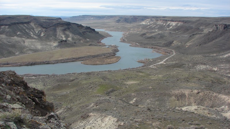
Updated: 10/15/2024
Black Butte
Morgan Place, Idaho
Access to Black Butte in the Morley Nelson Snake River Birds of Prey National Conservation Area (NCA) is off Range Road. The Range Road loop encircles the Idaho National Guard Artillery Range--a live fire range used for training. DO NOT go into the inner part of the loop! Signs are spaced every 100 yards and at the intersections of all roads leading into the artillery range, warning you to keep out. Please obey those signs!
Black Butte is outside the southern end of the artillery range. The butte is not exceptionally high or imposing but offers a spectacular view of the Snake River from its southeast side. The views of the river, its steep-walled canyon, and the mountains in the distance are well worth the short trip! The end of the road above the river would be a fine place to camp. Dispersed camping is allowed anywhere outside of the artillery range in the NCA!
The trail is not particularly difficult but does have rough and rocky patches. Recent rains can cause considerable puddling in the tire tracks and slippery conditions.
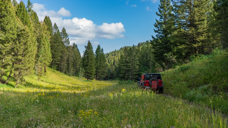
Updated: 10/15/2024
Free Use Canyon
Sarilda, Idaho
Free Use Canyon is an out-and-back trail dead ending at a small turnaround due to a locked gate. The trail is pretty narrow and overgrown. However, due to its semi-shaded nature, it allows drivers to view the incredible wildflowers that paint this forest in the spring and summer. Camping is also an option right after the trailhead among the towering pines. This is a popular area for hunters in the fall, so the campsites are large, flat, and well-established.
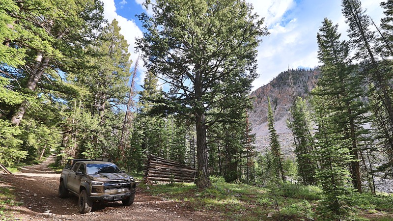
Updated: 08/12/2025
Weda'a Naokwaide
Hahn, Idaho
The “Weda’a Naokwaide” trail, often referred to as the Hidden Lemhi Pass, is a rough and remote route that carves its way across the western slopes of Idaho’s Lemhi Range. This lesser-known passage offers a raw, unfiltered offroad experience for those seeking solitude and scenery far from the beaten path.
The ascent is marked by narrow shelf roads peppered with sharp, loose rocks. While the stones aren’t especially large, the steep incline makes this a trail where 4LO is highly recommended. It’s not a technical rock crawl, but the combination of elevation, exposure, and terrain demands a steady hand and a well-equipped rig.
As you descend the western flank of the Lemhi Range, the terrain gives way to sweeping views that stretch across the Pahsimeroi Valley and to the distant jagged peaks of the Lost River Range.
At the base of the trail, you'll find a scattering of dispersed campsites, offering peaceful places to post up for the night. Whether you’re looking for a scenic crossover, a rugged drive, or simply a place to disconnect and explore, Weda’a Naokwaide delivers in every way, with drama, beauty, and the thrill of finding something hidden and wild.
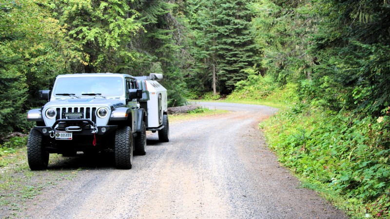
Updated: 09/11/2025
Elk City Wagon Road
Clearwater, Idaho
Before Highway 14 was built, the only route to Elk City, Idaho, was the Elk City Wagon Road, built in 1895 and 1896. The Road begins in the small town of Harpster, Idaho, as a short section of pavement and gravel that leads to Clearwater, Idaho. The Road, as depicted, runs from Clearwater to Newsom, Idaho. The Elk City Wagon Road continues on a combination of other roads to Elk City, Idaho. At most intersections, and occasionally between, there are signs identifying the route as the Elk City WR.
This section of the Elk City Wagon Road ranges from a well-maintained two-lane gravel road to a minimally maintained single-lane natural surface road. It can be driven in any vehicle with reasonable ground clearance. There are some potholes, washboarding, and minor washouts. The most significant hazard is the almost continuous blind curves. Most of the Road is closely bordered by thick forest, which limits the big views. It is, however, a very scenic drive through the forest.
There are no campgrounds along the Road, but dispersed camping is allowed. For much of the Road, the terrain does not lend itself to campsites, but there are a few established sites along the higher section of the road. There is some private land, particularly on the ends of the Road, that must be respected when selecting a campsite.
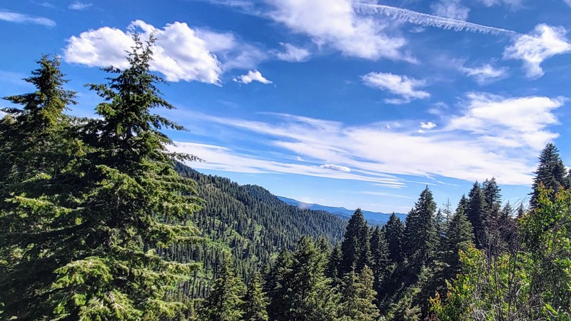
Updated: 08/11/2025
Alder Creek Road
Placerville, Idaho
Alder Creek Road offers a quiet and scenic drive through the mountainous terrain between Banks Lowman Scenic Byway and the small town of Placerville. This forest road is a mix of gentle grades, tight curves, and lightly rutted surfaces, making it a great choice for drivers seeking a mild backcountry experience without venturing into technical territory. It is a wide, two-lane gravel road that is well-maintained, allowing any vehicle to travel this trail safely. The road follows Alder Creek for much of the route, weaving through tall stands of pine and fir, with occasional clearings and great views of the surrounding Boise Mountains.
There are no camping opportunities directly on Alder Creek Road, but this trail is part of an extensive trail system that offers numerous camping options. Especially off the north end along South Fork Road and the Payette River.
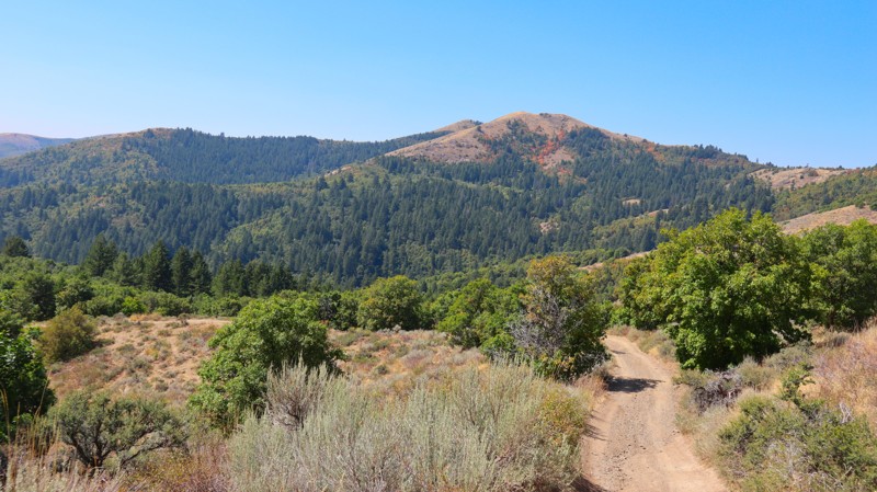
Updated: 11/15/2025
Blackrock Canyon
Blackrock, Idaho
Slicing through the center of the Chinese Peak-Blackrock Trail System, Black Canyon is a beautiful, out-and-back forest road with great camping spots and beautiful views for its entire 4-mile length. The trail is not challenging, but high clearance and low range will be useful for the occasional steep climb and uneven terrain. The most northern portion is an optional narrow trail full of overgrowth that comes to an abrupt dead end at a locked gate. At the southern start of the trail, you can find a large staging area with sheltered picnic tables, fire rings, and vaulted toilets.
Connect this trail with 0319 and 03113 to create a full loop.
This is a popular trail system for all user types, as there are over 40 miles of trails for motorized, equestrian, mountain biking, and hiking users. The trail system is seasonally closed from November 16th to April 15th each year.
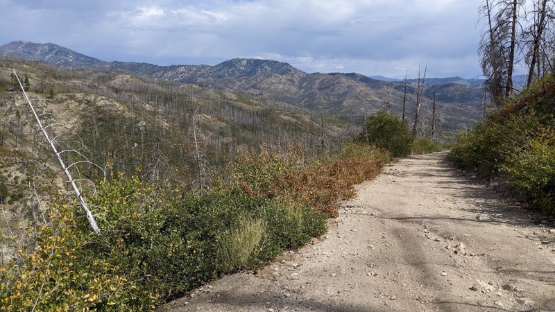
Updated: 10/15/2024
Mill Creek
Prairie, Idaho
Mill Creek winds through standing dead timber killed in the 2013 Elk Fire. Brush and smaller trees are returning after the fire's devastation. Running through the Boise National Forest between Castle Creek and House Mountain Road, Mill Creek is a fun, interesting, scenic, and relatively easy road. The shelf road section views into and across the steep valley to the distant mountains are spectacular!
After less than a mile from the east end, the road makes a hard right and becomes a narrow shelf road cut into a steep mountainside. The primary hazards along Mill Creek include down timber, gullies, washouts, and pin-striping. This is open-range, so watch out for livestock on or near the road. The shelf section has a few pullouts for passing.
While dispersed camping is available along the entire road, it can be difficult to find a place both big and flat enough to set up camp in the shelf road sections.
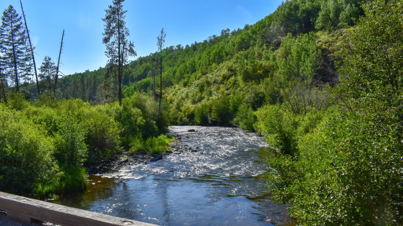
Updated: 10/15/2024
241
Warm River, Idaho
Robinson Creek Trail 241 is a fantastic way to connect your adventures near Cave Falls with Fish Creek Road 082 without backtracking to Mesa Falls Scenic Byway. This short trail has great views, but no camping.
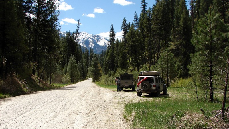
Updated: 10/15/2024
Swanholm Road
Rocky Bar, Idaho
Swanholm Road is a well-maintained and easy gravel road connecting the east end of the North Fork Boise River with the Middle Fork Road and forms part of a backcountry route from Idaho City to Atlanta. There are a number of side roads and trails that can be explored, but some of them are width-limited for ATVs or motorcycles. Dispersed camping is allowed all along the road, and there are numerous nice places to set up for the night. At the north end of the road is Deer Park Campground, a semi-developed camping area with several nice sites along the river.
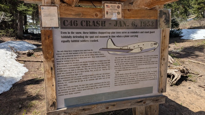
Updated: 06/23/2025
Pat Hollow
Fish Haven, Idaho
This trail in the Bear River Range leads to a tragic and historically significant site, the location of a C-46 aircraft crash that occurred on January 6, 1953, claiming the lives of 40 passengers.
The route starts moderately challenging with an uphill climb through a small rock garden. Beyond that, the trail becomes easier to navigate, though a large puddle may form during wetter seasons. Surrounded by dense pine forest, it offers a scenic drive that ends at the hiking trailhead. From there, a short walk down a dirt path leads to the memorial, where visitors can pay their respects and learn about the crash’s history. While there are no designated or dispersed campsites along this route, the journey is a meaningful one for those interested in historical events.
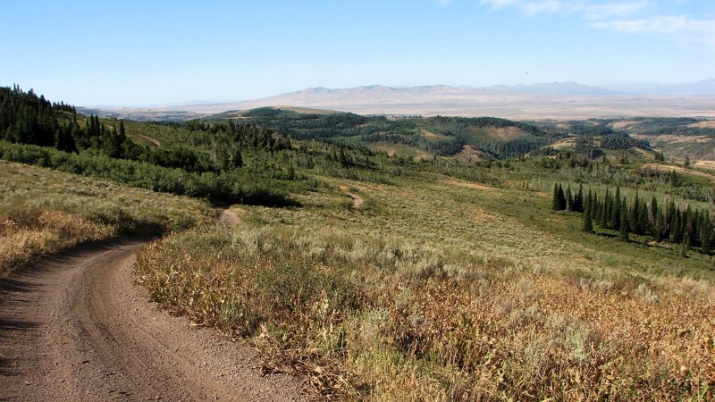
Updated: 10/15/2024
Upper Deadline Ridge Road
Rock Creek, Idaho
Upper Deadline Ridge Road, FS 647, runs along the top of Deadline Ridge from Oakley Rogerson Road to Deadline Ridge Road. It is quite rocky and requires relatively high clearance. Four-wheel drive is recommended due to the loose rocks on reasonably steep climbs. Because the road runs along the top of a ridge, the views and scenery are spectacular, with almost continuous opportunities for big, expansive views! The combination of aspens, pines, firs, and open grassy areas makes for an attractive combination of colors that adds to the area's beauty. Dispersed camping is allowed along Upper Deadline Ridge Road, but there are no obvious spots where people have previously camped.
Legend has it that the ridge was named after a deadly confrontation between cattle ranchers and sheep herders around 1900. The area is still open to grazing for both critters, so care needs to be taken to avoid them. There are also deer, elk, and some moose in the area that the watchful explorer might be able to see.
Updated: 10/15/2024
Castle Butte Lookout
Powell Junction, Idaho
Perched on a rugged rocky point at an elevation of 6,659 feet, Castle Butte Lookout is a unique cabin offering unparalleled 360-degree vistas of the Selway-Bitterroot Wilderness, the Seven Devils Mountains, the Great Burn area, and the deep canyons carved by the upper drainages of the North Fork Clearwater River.
Access to this remote lookout is via the Lolo Motorway, a primitive, single-lane road created by the Civilian Conservation Corps in the early 1930s. The trail to the lookout is unmaintained, susceptible to washouts and gullies, and not recommended for large RVs, vehicles with low ground clearance, or trailers. Visitors should be prepared to walk approximately 100 feet up a steep, rocky path to reach the lookout.
Castle Butte Lookout has a rich history, serving the Clearwater National Forest since 1916 as a modest frame cabin. In 1928, it was replaced by an R-1 log cabin with a distinctive cupola. The current structure, a 14’x14’ L-4 cab with a surrounding catwalk perched on a 10-foot stone base, was constructed in 1950. This historic lookout, recently restored, is now part of the recreation rental system, offering a unique connection to the past.
Castle Butte Lookout has a few basic comforts, though guests need to bring additional gear and supplies to enhance their stay. The breathtaking panoramic views alone promise an unforgettable experience.
For those seeking a more grounded experience, an area for dispersed camping is nestled among the trees along the trail below the lookout.
Updated: 06/05/2022
Mica Dome
Garden Valley, Idaho
Mica Dome is located in the beautiful and diverse Boise National Forest. The forest offers skiing, hiking, camping, fishing, boating, and hunting, to name a few activities. This trail is on a short ridge running north towards the south fork of the Payette River. This area was known for mica mining in the early 1900s, and both trails you'll travel through to get here are still actively mined for gold with evidence of claims posted along Wash Creek, and Horn Creek.
Updated: 10/15/2024
059
Big Springs, Idaho
Big Springs Loop is a popular trail that takes you to the historic Johnny Sack Cabin, a charming structure built around the turn of the 20th century. Below the cabin sits Big Springs, known for its crystal clear water and constant flow of pristine spring water. The cabin offers a fascinating glimpse into the area's rich history, while an old shed with a water wheel showcases the early power sources of the region. Improved campgrounds near the cabin and springs provide convenient resting spots. The bridge is a favorite spot for visitors to observe and feed the impressive fish below.
Updated: 10/15/2024
Wilson Creek Road
Lowman, Idaho
Wilson Creek Road is a primarily one-lane sand and gravel road from Deadwood Reservoir to Landmark-Stanley Road. Other than minor potholes and small washouts, it is an easy drive suitable for all but the lowest clearance vehicles. Much of the road goes through burned-out forests with a lot of standing dead trees. Be prepared to clear downed trees or turn back and take a different route should a tree cross the road. The primary hazards are oncoming traffic, which can be heavy on weekends, dust, and shortened sight lines due to the curves.
There are no campgrounds along the road and no obvious places where people have dispersed camped, although there are occasional wide spots in the road where dispersed camping would be possible. Several campgrounds lie around Deadwood Reservoir.
There are plenty of opportunities for big views. However, during fire season, the air can be quite smoky, which limits longer-range viewing.
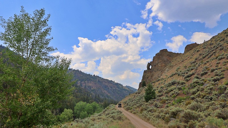
Updated: 11/30/2025
Big Boulder
Clayton, Idaho
Nestled amidst the rugged beauty of the Sawtooth National Forest lies Big Boulder Creek Road, a vital link to the storied Railroad Ridge, the highest driving road in Idaho at 10417 in elevation, and the hiking trails of the majestic mountain peaks of Cecil D. Andrus White Clouds Wilderness.
While Big Boulder Creek Road is navigable by passenger cars, it demands respect with its occasional rough patches strewn with rocks and occasional washouts. This narrow path closely hugs the cascading waters of Big Boulder Creek, meandering through a dramatic canyon that leaves little room for dispersed camping.
Yet, for those who traverse its twists and turns, a gateway to Idaho's wilderness awaits- a journey blending the thrill of exploration with the serenity of high-altitude landscapes.
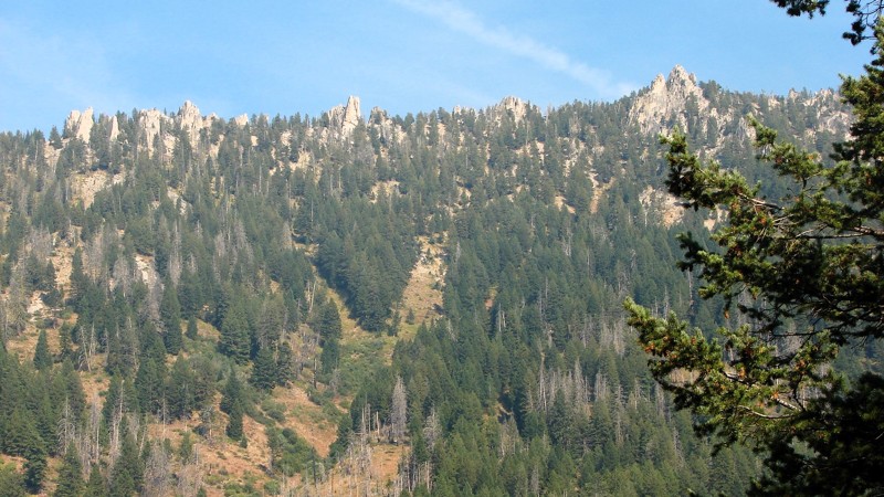
Updated: 10/15/2024
Phifer Creek Road
Rocky Bar, Idaho
Phifer Creek Road climbs sharply from the Middle Fork of the Boise River to Trinity Ridge Road. It is a one-lane gravel and rock road suitable for any vehicle with moderately high clearance. Although in generally good shape, there are sections with rocks and washouts. There are many tight switchbacks with quite steep sections right in the turn. Most of the road is in a timber tunnel that restricts the big views; however, there are enough open areas where the views open up to keep the road interesting. During fire season, the views can be blocked by smoke and haze.
No campgrounds are along Phifer Creek Road, but numerous opportunities exist for dispersed camping.
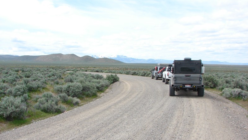
Updated: 10/15/2024
Poison Creek Cutoff
Doyle Place, Idaho
Poison Creek Cutoff is a well-maintained gravel road that goes from Mud Flat Road, aka the Owyhee Back Country Scenic Byway, to near the little town of Oreana. For much of its length, the road parallels the foothills of the Owyhee Mountains, with several side roads going over to and, presumably, into the foothills. Those traveling south on Highway 78 and desiring to get onto Mud Flat Road can save quite a few miles by taking the Cutoff.
As it follows the foothills of the Owyhee Mountains, Poison Creek Cutoff winds into and through interesting and scenic small draws and canyons. The largest draw is toward the south end, and the climb out is steep and winding with limited visibility, making it the hardest part of the road. Because it is a well maintained gravel road it can be driven in most any vehicle but care does need to be taken for other vehicles. Since the area is open range, there could be cattle on or near the road.
Dispersed camping is allowed along Poison Creek Cutoff, but there are no obvious campsites.
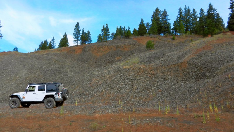
Updated: 06/05/2022
Gravel Pit Spur
Banks, Idaho
Grab the family and enjoy your time together in the great outdoors of southwestern Idaho! Gravel Pit Spur is in the Boise National Forest and gives you a great reminder of why all spur trails are worth exploring! This one is a jewel for dispersed camping. You could take your entire extended family or your entire neighborhood camping on this trail with its larger than normal-sized sites.
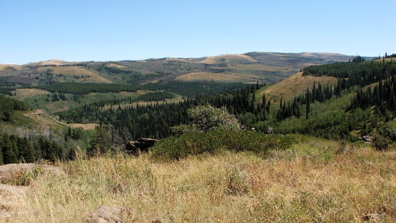
Updated: 10/15/2024
Deadline Ridge Road
Idavada, Idaho
Deadline Ridge Road goes from the south end of Winecup Road north to the Diamondfield Jack Snow Play Area. The south five miles starts below the ridge and climbs up to the top, where it continues as a rough, rocky road up to the north turnoff to Winecup Road. From there, it follows the ridge to Upper Deadline Ridge Road before dropping down and running along the side of the hill. It is somewhat confusing as Upper Deadline Ridge Road follows Deadline Ridge and is signed that way. You should have good tires and moderate ground clearance south of Winecup Road. North of Winecup Road is suitable for any vehicle. Four-wheel drive is not required but may be helpful on some of the steeper, rougher sections to the south.
Dispersed camping is allowed, and campsites can sometimes be found by following small, unmarked roads to either side of the main road. Sometimes, these roads go a short distance into the trees and end at a secluded dispersed campsite.
The best features of Deadline Ridge Road are the dramatic views heightened by the color contrasts between the deep green of the pines and firs, the softer green of the aspens, the gray-green of the sagebrush, and the tans and browns of the open grassy areas. When following the top of the ridge, the views are spectacular!
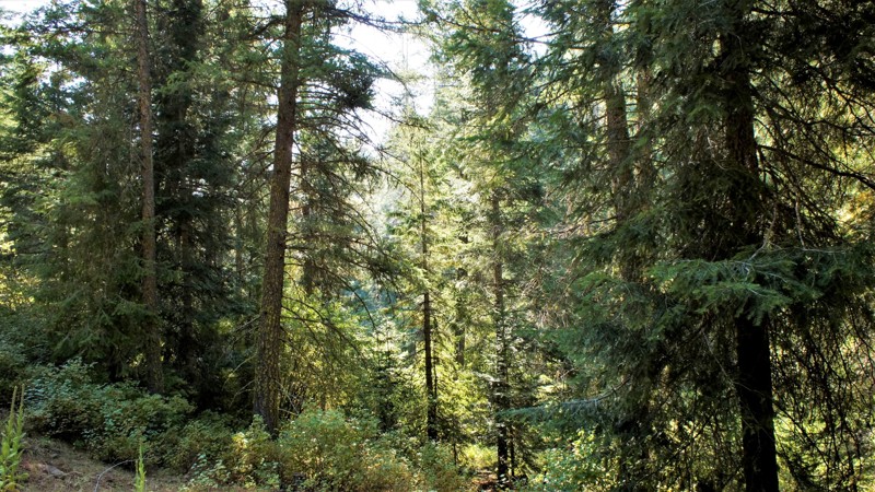
Updated: 06/05/2022
Timber Flat 666C
Horseshoe Bend, Idaho
666C Timber Flat is a spur trail off of Timber Flat in the Boise National Forest, two hours north of Boise, Idaho. Sagehen Dam and Reservoir are just 2.5 miles to the east with four improved campgrounds. Some of the campgrounds are first come first served while others require a reservation. The lake is well known for its rainbow trout, so bring a fishing pole. The trail and its surrounding area are in Idaho's hunting unit 32A where you will be sharing your space with deer, elk, black bear, mountain lions, and wolves, just to name a few of the forest's residents. This trail is one of many spurs along the main Sagehen Road and is best described as a dispersed camping paradise nestled among the pines, fir, and spruce. Shrubs and grasses dotted with wildflowers fill in the non-forested areas.
The Kyaott Trail System trailhead is just south of this trails trailhead and is an extensive trail network around the Sagehen area for ATV's, motorcycles, hikers, and horseback.
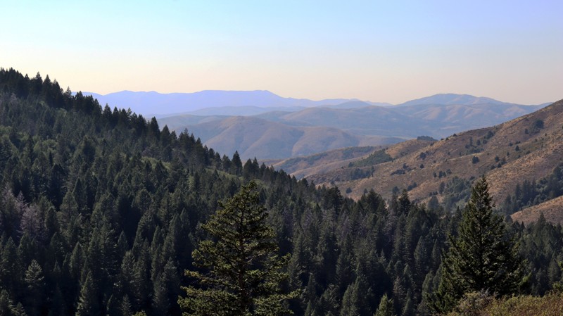
Updated: 11/15/2025
Divide
Pebble, Idaho
Creating a connector between Inman Canyon and Big Springs campground, FS013 is a long, windy forest road traveling through the thick pines of the Caribou National Forest. This road can be dusty in places and get rather bumpy over time between maintenance. However, the road is easy and suitable for almost any vehicle with decent ground clearance. There are sharp curves and occasional shelf roads with steep drop-offs, so users are cautioned to take their time. This trail offers fantastic dispersed camping options that can be found along the entire length of the trail.
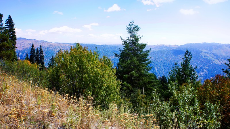
Updated: 06/05/2022
Spur 643L
Banks, Idaho
This beautiful spur trail know as 643L Spur is really out in the woods! People ask which is more important, the journey or the destination? In the case of this trail, it's both! You'll pass through miles of lush valleys and meadows with ranches dating back to the 1800s. From the trailhead, your short travel will take you eastward to the open expanse of the Payette River Canyon below. Your destination will be one of the largest dispersed campsites you've ever seen. Be sure to invite your wheeling friends along to have a weekend, or longer, that you won't soon forget.
Updated: 11/30/2025
Corral Creek
Sun Valley, Idaho
Situated just outside beautiful Ketchum, Caorral Creek climbs gently along its namesake watercourse to a hiking trailhead with a vault toilet. Along the way are a variety of designated campsites of various sizes, some close to the water, others with shade. Small RVs and camper trailers will fit in the larger ones, and ground tents and small rigs will easily fit in all. Camping is only allowed at designated sites.
This road offers superb views of Hardwerk Peak, Salzburg Spitzl, and the Devil's Bedstead. The narrow road is maintained but washboarded, with adequate pullouts for passing oncoming traffic.
The hiking trail at the road's end climbs up to Pioneer Cabin.
Updated: 11/15/2025
Blackrock Canyon East
Blackrock, Idaho
As the primary entrance into the Chinese Peak-Blackrock Trail System, Trail 3113 is a popular trail with multiple staging areas, picnic areas, campsites, and bathrooms. The trail leads up to a peak along the east side of the trail system and intersects with trail 0319, where you could continue over to 0302 to make a full loop. This hardpacked dirt trail is not challenging, but high clearance and low range will come in handy to manage the uneven areas of the road and steep climbs. Near the top of the ridge are a few additional dispersed campsites that offer nice views.
This is a popular trail system for all user types, as there are over 40 miles of trails for motorized, equestrian, mountain biking, and hiking users. The trail system is seasonally closed from November 16th to April 15th each year.
Updated: 08/12/2025
Basin Creek
Lemhi, Idaho
Basin Creek Road winds its way through the foothills of the Lemhi Range, gradually climbing into a rugged alpine basin where adventure and solitude await. This dirt and gravel road is generally passable by most passenger vehicles up to the Basin Lake Jeep Trailhead. From there, things get a bit more serious, beyond the gate, the route transforms into a steep, rocky Jeep trail that demands a high-clearance 4WD rig and some off-road confidence. The reward? Absolutely worth it.
As you bounce your way higher into the mountains, the scenery unfolds in dramatic fashion. The surrounding ridgelines dominate the horizon, while wildflowers and alpine pines line the trail. The final stretch leads you to Basin Lake, also known as Basin Creek Lake, a quiet 13.5-acre alpine reservoir sitting at nearly 8,900 feet elevation. Cradled in a mountain bowl and fed by the waters of Basin Creek, this secluded lake is a hidden gem for anglers and backcountry campers alike.
The lake is regularly stocked with Westslope Cutthroat Trout fry, making it a worthwhile destination for those looking to cast a line in clear, cold water. Dispersed campsites are tucked around the lake, with one particularly scenic site located near an old, weathered homestead that is silent and slowly being reclaimed by nature, adding a nostalgic touch to an already remote setting.
Whether you’re looking for a rugged 4x4 challenge, a quiet fishing spot, or just a place to disconnect and breathe in crisp mountain air, the road to Basin Lake delivers all the ingredients for an unforgettable high-country escape.
Updated: 10/15/2024
Cottonwood Road
Glendale, Idaho
Cottonwood Road is an off-pavement alternative to Highway 95, bypassing Council, Idaho. The road travels along good gravel roads and is accessed on the north from Highway 95 via Mill Creek Road and on the south directly from Highway 95. Cottonwood Road is a well-maintained, one-and-a-half to two-lane gravel road that is easy to drive with any vehicle. The major hazards are blind curves, moderate washboards, and dust when it’s dry. Most of the road is in deep forest with minimal views. Towards the southern part of the road, the trees open up some, and big views become possible. Much of this area was burned in past years, so the view sometimes includes dead, burned trees. Particularly in burned areas, it is possible for trees to fall across the road; you should be prepared to remove the down trees or turn around and go back the way you came in if the road is blocked. Dispersed camping is allowed along the public portions of the road, but care should be taken to avoid camping on private land along parts of the southern section of the road.
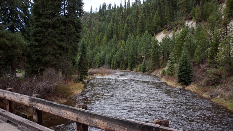
Updated: 10/15/2024
Bridge Creek
Alpha, Idaho
Bridge Creek is located in the beautiful Boise National Forest with dispersed campsites along the middle fork of the Payette River. The trail is fairly steep, rising 1500 feet over the first 4 miles.
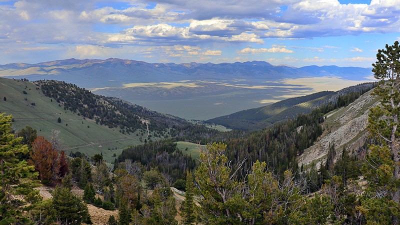
Updated: 08/11/2025
Quartzite Canyon
Hahn, Idaho
Quartzite Canyon Road serves as the rugged middle stretch between Spring Mountain Road and Weda’s Naokwaide, forming part of the only motorized vehicle route that fully crosses the Lemhi Range. It’s the roughest leg of the journey, and it lets you know it right away.
The trail is a steep, narrow shelf road carved into a ridge, where soccer-to basketball-sized loose and embedded rocks demand careful tire placement and the use of 4LO. This trail is a slow crawl, best suited for a high clearance vehicle, but one well worth the effort. As you climb, sweeping views open to dense forests, high mountain meadows, and distant silhouettes of Spring Mountain and Big Windy Peak stretch across the horizon.
The terrain may be rough, but it’s packed with beauty. Along the way, there is a solid dispersed campsite marked by a stone fire ring, with a few side turnoffs that looked like they could easily hide secluded gems of their own. If you're up for a bit of a challenge and want to see the Lemhi’s at their raw and wild best, this is the trail that delivers.
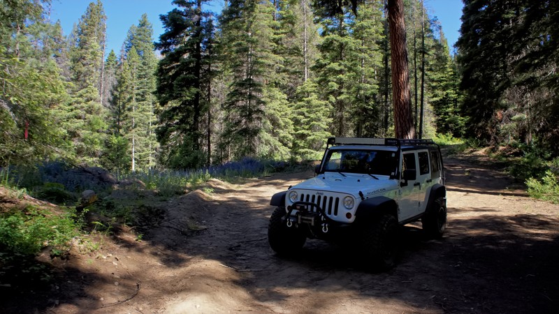
Updated: 06/05/2022
Old West Fork Scriver Creek
Garden Valley, Idaho
The beauty of southwestern Idaho is second to none, with hundreds of off-road trails available for exploration. You'll pass through the town of Crouch to get to the trailhead, a population of less than 200 with a couple of restaurants, a market, and a hardware store. Crouch is a hub for trails like this one, plus whitewater rafting and kayaking on the south fork of the Payette River. You'll share this trail with other 4-bys, plus side x sides, motorcycles, elk, and deer.
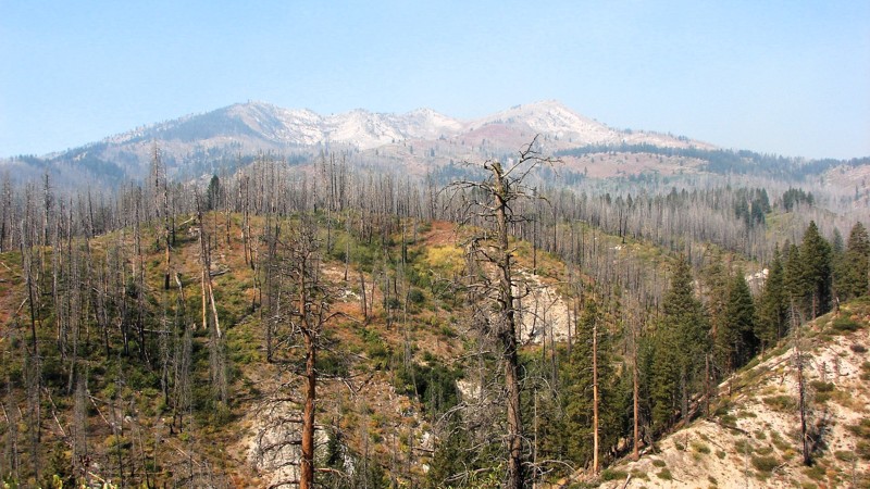
Updated: 10/15/2024
Wagontown Road
Featherville, Idaho
Wagontown Road is a minimally maintained gravel road going from the Featherville snow parking area to Trinity Creek Road, FS 172. It is mostly a narrow, windy, shelf road with limited sight distances for much of its length. A four-wheel drive is unnecessary, but moderate ground clearance is required due to rocky patches and minor washouts. The road is overgrown with brush in places, and some pinstriping can be expected.
Driving up from Featherville, the road is enclosed by dense forest with limited extensive views. About halfway along the road, things open up, and the views become big and expansive. Unfortunately, in this part of Idaho, the air is often smokey from local wildfires, and the bigger views are often hazy.
There are no campgrounds along Wagontown Road, but ample dispersed camping spots can be found. Archery hunting season is in early September, and most better-dispersed sites will be taken.
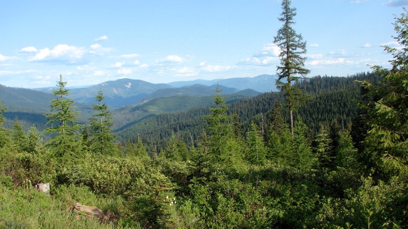
Updated: 08/11/2025
Bumblebee Creek Road
Linfor, Idaho
Bumblebee Creek Road goes from Little North Fork Road to Stull Saddle. The first half mile goes past a Forest Service Campground and is paved. This route starts where the pavement ends. Like many roads in this area, Bumblebee Creek Road is quite rocky in places, with numerous small potholes and a few minor ruts and washouts. It is a single-lane gravel road with ample pullouts for passing and stopping to take in the view. It can be driven with any vehicle with moderate ground clearance.
While much of the road travels through dense forest, there are plenty of areas clear enough to enjoy the expansive views of the Panhandle National Forest, particularly once one climbs up the road to the top of the ridge. Dispersed camping is permitted, and several established dispersed sites are available. There is also a nice Forest Service campground at the south end of the road near Little North Fork Road.
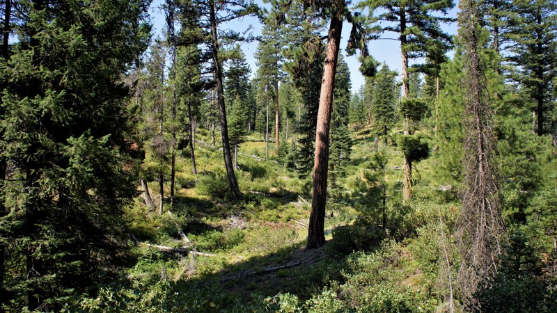
Updated: 10/15/2024
West Fork Creek
Alpha, Idaho
West Fork Creek is in the beautiful Boise National Forest, and the trailhead is literally less than 2 hours from Boise. Driving in on the Middle Fork Payette trail, you'll pass dozens of dispersed campsites and several designated campgrounds alongside the Payette River. This trail travels west up to the ridgeline, where you will have several options for returning to the main trail. This trail has a large campsite only one-mile from the trailhead, and at the halfway point there is a large area along West Fork Creek with several nice campsites with fire rings. This area appears to cater to hunters from the hanging evidence present, so not recommended for camping during hunting season.
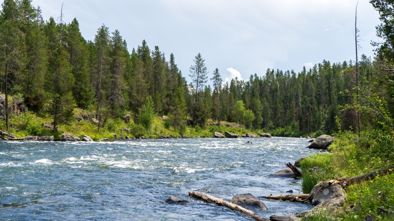
Updated: 07/21/2026
State Section Access
Gerrit, Idaho
Despite its unassuming and random name, this trail is sure to please with its mild obstacles and camping on the river. This trail requires 4WD for the average user, with rocks and ruts causing a workout for your vehicle's suspension. Mud puddles are frequent, especially after the passing monsoonal moisture, although never more than around a foot deep. The camping at the end is of the premium variety, offering 2-3 vehicles a secluded site right on the Henry's Fork.
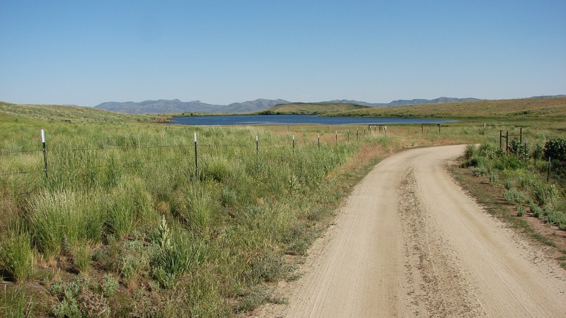
Updated: 10/15/2024
Harrison/Wild Horse Road
Castle Rocks, Idaho
Harrison/Wild Horse Road is an interesting bypass for about 12 miles of Highway 20 that gets one off the pavement and onto a good gravel road with interesting scenery. The east end of the road is signed as Harrison Road, while the west end is signed as Wild Horse Road—but it’s one road. The east end is directly off Highway 20, while the west end terminates on E. High Prairie Road. The road is generally maintained gravel and can be driven by almost any vehicle.
Starting on the east end, the road is a good, two-lane, gravel road going straight through farming country. About a third of the way in, the road degrades to a single-lane gravel and dirt road winding through the foothills and sagebrush steppe. Some parts of the steppe are in excellent, near-native condition, while others appear to have been heavily grazed, making for an interesting contrast showing the effects of grazing.
Most of the road is through private property, so there are no good spots to camp.
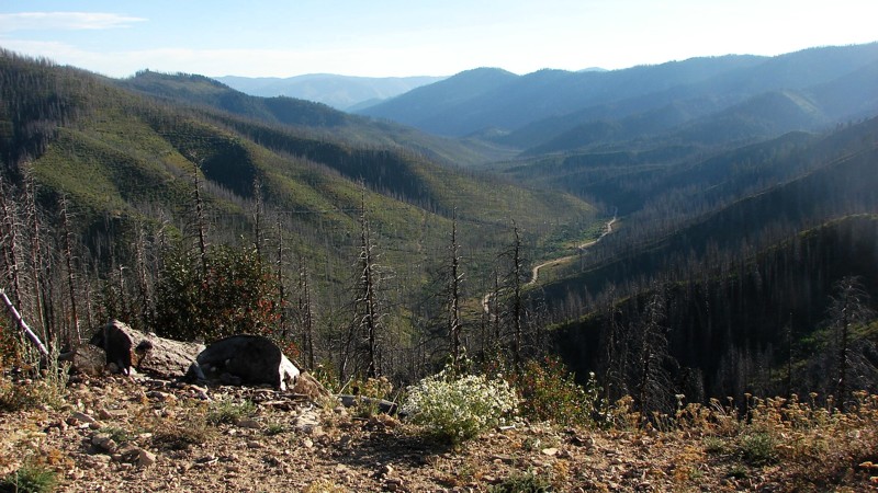
Updated: 12/14/2025
Lowman Bear Valley Road
Lowman, Idaho
The Bear Valley Road is a well-maintained, mostly two-lane, gravel road going from Lowman, Idaho, to Bear Valley Campground. Other than some mostly annoying (but seldom serious) potholes and washboards, it is an easy drive suitable for any vehicle. The road climbs up and over Clear Creek Summit and then descends into Bear Valley, where it follows along Bear Valley Creek, which is a delightful, clear, mountain stream.
Camping is allowed in designated dispersed sites only, most of which are on the southern end of the road. Additionally, several improved campgrounds can be found in the area, such as Park Creek Campground on the south end and Bear Valley Campground, just west of the northern end. Campground sites charge a nightly fee and are mostly equipped with tables and fire rings. Pit toilets are also available.
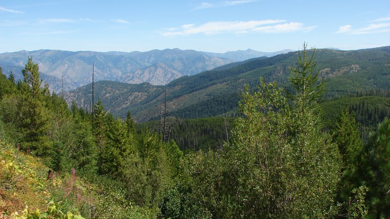
Updated: 09/04/2025
Burgdorf-French Creek
Burgdorf, Idaho
Burgdorf-French Creek Road is a well-maintained, one to two-lane gravel road suitable for any vehicle with reasonable ground clearance. The south part of the road, up on top, is a straightforward drive with the most significant hazard being dust. Once one starts down the grade, the road narrows to one lane with pullouts, and the most significant hazard becomes the switchbacks and blind curves. There are some minor washouts on the steeper slopes, and occasionally washboards and potholes.
There are several campsites along the upper section, and dispersed camping is available. However, once one starts down French Grade, the opportunities for camping become quite scarce.
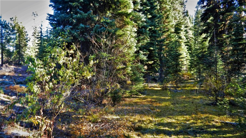
Updated: 06/05/2022
Pine Creek Meadow Spur
Horseshoe Bend, Idaho
627D Pine Creek Meadow Spur is a short trail connecting two main trails in the area, Pine Creek Meadow and West Mountain Trail. It is located in the expanse of the Boise National Forest. The trail is less than two hours north of Boise, Idaho, and only a couple of miles from Sagehen Reservoir where you can camp, swim, fish, and boat. You will have about 8 miles of wheeling to do just to get to this trailhead, so don't let it's short length deter you. Be alert and aware of the animals that call this beautiful forest their home, which includes elk, deer, bear, cougar, and wolves. This trail borders the north edge of the Pine Creek meadow so camping at Waypoint 2 puts you in a prime location for spotting those animals or utilizing that site as a base camp during hunting seasons.
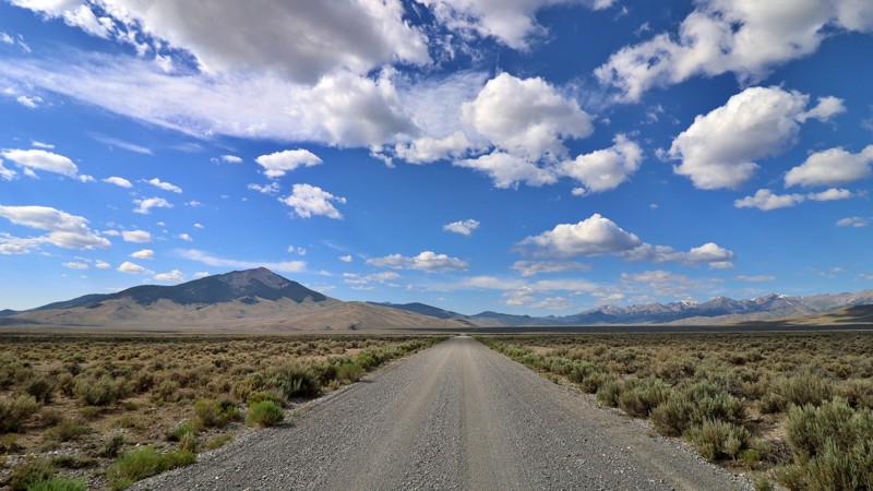
Updated: 08/11/2025
Dry Creek
Clyde, Idaho
Hidden within the wide-open reaches of Butte County, Dry Gulch Road, also known as the Mulkey Bar route, is a remote, unpaved byway that quietly meanders through central Idaho’s raw and untamed landscape. Acting as a connector between Summit Creek/Pahsimeroi Road and Pass Creek Road, this route skirts near the historic Mulkey Bar site, which was once a small but active mining or ranching hub. Now long abandoned, its presence is marked only on aging USGS maps and faded terrain.
As you travel, the road opens to sweeping views of Butte County’s arid basin and the distant silhouettes of the Lost River Range. Though mostly flat, the drive is lightly traveled and remains unimproved. Expect gravel stretches with washboard ruts, patches of loose rock, and the occasional washout. It's well-suited for those seeking a slower-paced, off-grid alternative to the region’s more trafficked routes.
No established campsites were visible along the route. Still, the solitude and sense of quiet exploration make it a rewarding passage for overlanders and backroad explorers connecting the region’s scenic byways. This is a place where you pack in what you need, drive with intention, and let the landscape do the talking.
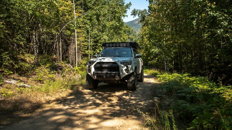
Updated: 10/09/2025
Jeru Creek
Mc Arthur, Idaho
Jeru Creek is a short but technical trail that requires a vehicle with clearance and at least a set of all-terrain tires. Airing down is recommended to handle the loose rocks, steep inclines, and tight switchbacks that can make traction tricky. The trail is narrow overall, though there are a few pullouts wide enough for passing vehicles. Along the way you’ll run into large dips, moderately rocky stretches, and a shallow water crossing that can get a little deeper during the wetter months.
There aren’t many spots for camping here, just a small pullout with a fire ring that has room for one vehicle. Keep in mind this pullout is right on the trail so you won't get any privacy.
Jeru Creek connects with several other trails in the area and makes a good option for either heading up or down from Pack River, giving you a different perspective depending on the direction you take.
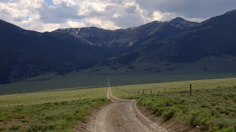
Updated: 08/11/2025
Spring Mountain
Hahn, Idaho
Spring Mountain Road traces a rugged trail along the eastern slopes of Idaho’s Lemhi Range, weaving through a landscape steeped in mining history and mountain solitude. Just south of the old Texas Mining District, this remote route climbs into high-country terrain once bustling with the noise of pickaxes, ore carts, and dreams of fortune. In the early 1880s, rich lead-silver deposits were discovered here, sparking the rise of the Spring Mountain Mine, better known as the Big Windy, perched at a lofty 10,000 feet on the Lost River side of the range.
As you ascend the graded dirt road, you'll pass side routes leading to the historic mining townsite of Hahn and through Horseshoe Gulch, where rusted relics still rest quietly in the sagebrush, telling silent tales of a forgotten era. The views grow more dramatic with each turn, revealing sweeping vistas toward Big Windy Peak. A single dispersed campsite appears just off the trail, marked by a weathered rock fire ring. This is an inviting spot for those seeking solitude under the stars.
Carved initially by miners, this road once connected to the Spring Mountain Mine complex, a conjoined operation of the Elizabeth and Teddy mines. At the head of Spring Mountain Canyon, remnants of an old aerial tramway still cling to the cliffs, a skeletal trace of the ingenuity that once powered this remote mining enterprise.
In October 2023, the Forest Service installed a permanent gate on the west end of the road near the junction with Quartzite Canyon Road, closing off vehicle access to the upper reaches of the trail. From here, Quartzite Canyon Road continues westward, guiding across the heart of the Lemhi Range before descending into the vast and windswept Pahsimeroi Valley.
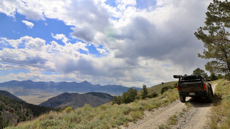
Updated: 08/11/2025
South Fork Worthing
Blue Dome, Idaho
Tucked into the rugged wilds of Clark County, South Fork Worthing Canyon is a surprisingly scenic backcountry gem that deserves more attention. This mellow, high-elevation route feels like Idaho’s version of a high-country cruise. Rolling grassy hills unfold above the vast Lemhi Valley, with wide-open skies and panoramic views that stretch to the far edges of the Lemhi Range.
Climbing to around 8,638 feet, this offroad trail can be accessed from either O’Brien Gulch or the historic Skull Mine, making it a perfect loop in tandem with a Skull Canyon run. The road itself is an easygoing shelf cut into steep, exposed terrain. It is simple enough to drive, but with enough edge exposure to flutter your stomach if heights aren’t your thing. The drama isn’t in technical challenge, but in the scale: long, sweeping ridgelines, sagebrush knolls, and the quiet that reminds you just how far off the beaten path you are.
Though visible campsites are absent, several spurs invite you to pull in and find dispersed camping options with commanding views of the mountains and valleys below. These are perfect for those seeking solitude under Idaho’s big sky.
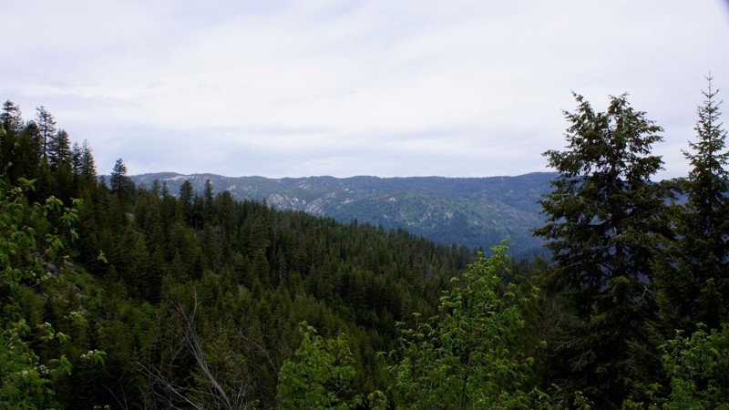
Updated: 10/15/2024
Lake Creek
Alpha, Idaho
Lake Creek is in the Boise National Forest. This trail is a spur trail from Bridge Creek and begins at the junction of Silver Creek Lookout Trail 678B. This trail is very narrow and degrades at the four-mile mark into an ATV/Side x Side trail. There is dispersed camping along the trail, including a nice spot at the trail's end.
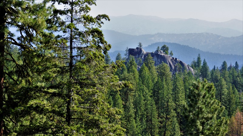
Updated: 10/15/2024
Middle Fork Payette Ridge
Alpha, Idaho
Middle Fork Payette Ridge is in the beautiful Boise National Forest. This trail is somewhat removed from the main trail in the canyon below, and you must travel on one or more trails to reach either trailhead. Consequently, this trail is ideal for forming a perfect 30-mile loop to and from Middle Fork Payette. You have several trail choices for access, including, Schriver Creek, Six Mile, or West Fork Creek. Dispersed camping is allowed throughout the Boise National Forest, and several areas look ideal. However, no fire rings were observed.
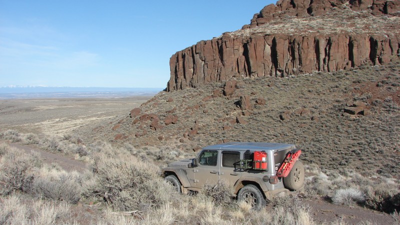
Updated: 10/15/2024
Little Horse Basin Gap Road
Comical Turn, Idaho
Owyhee County, Idaho, is home to many spectacular ravines, gullies, and rock formations. Little Horse Basin Gap Road, while not very long, provides interesting and awesome examples of many of these spectacular formations. The trail is on BLM land and borders the Little Jack’s Creek Wilderness Area. This area is at a low enough elevation that snow is rarely a problem—but portions of the trail become treacherously slippery when wet. Although the trail is relatively easy to drive, rough spots do require clearance.
While fairly easy to access from Highway 51, Little Horse Basin Gap Road is located in an area of approximately 5000 square miles with no services, limited cell phone coverage, literally thousands of trail segments, and at least five wilderness areas. Travelers should treat the entire area with respect and should not enter it unless well prepared for whatever contingencies may occur.
While dispersed camping is allowed along the trail, there were no obvious locations to set up a camp.
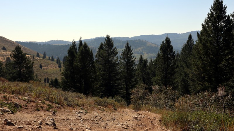
Updated: 11/15/2025
Dry Gulch
Inkom, Idaho
FS208 is commonly referred to for the sign near its southwestern trailhead, identifying it as a Rough Road. This short trail connects to several other forest roads in the area, offering many opportunities for further exploration. Most of the trail is fairly easy and scenic, but the western portion of the road has one steep hill with rough, uneven, and rocky terrain requiring four-wheel drive and good ground clearance. The eastern portion travels on Idaho State Trust Land and has a large camping area at the east trailhead. Dispersed camping is allowed, and abundant along the entire trail.
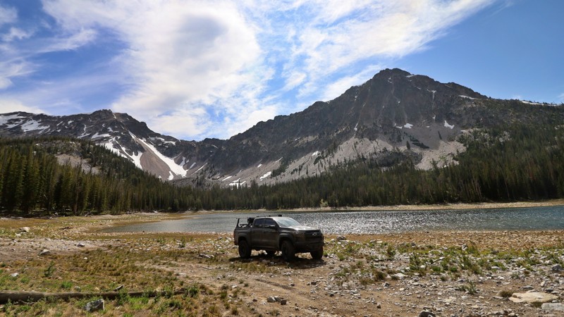
Updated: 08/12/2025
Mill Creek
Lemhi, Idaho
Mill Creek Road is a rugged, rocky jeep trail that leads to one of the Lemhi Mountains’ best-kept secrets: Mill Creek Lake. This out-and-back route isn’t for the faint of heart. It is a challenging 6-mile climb marked by loose rock and uneven terrain. You’ll want a high-clearance 4x4 with solid tires and a good sense of adventure to make it to the top.
As you ascend through the thick timber, the landscape begins to open, revealing expansive views of the surrounding ridgelines. Eventually, the trail crests at Mill Creek Lake, a tranquil 15.8-acre alpine reservoir situated at approximately 8,800 feet. The lake was formed behind a historic earthen dam built in 1928, and it rests in a peaceful glacial basin surrounded by towering pines and firs.
The lake’s mirrored surface reflects the jagged peaks above, and it’s not uncommon to have the whole place to yourself. Dispersed campsites are scattered along the tree line, offering backcountry solitude in one of Idaho’s most serene high-altitude hideouts. Whether you're pitching a tent under the stars or casting a line for rainbow trout in the calm alpine waters, Mill Creek Lake rewards those who make the climb
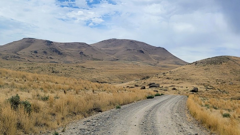
Updated: 09/04/2025
Wilson Creek / Salmon Creek Road
Wilson, Idaho
If you're looking for a scenic drive through the foothills of western Idaho, then Wilson Creek Road is not to be missed! Set against the stunning backdrop of the Owyhee Mountains and located just over half an hour from Boise, Wilson Creek Road makes the perfect getaway to get off the grid and discover some remote wilderness.
This easy-to-navigate gravel road is suitable for any high-clearance vehicle. This trail is part of an extensive trail system that includes many non-motorized trails. Along the northern end of the road, you will find a large parking area with a vault toilet. The large network here allows you to spend just a couple of hours exploring or make a full day out of it. There are no developed campgrounds along this trail, but there are a couple of neat offshoots that offer dispersed camping.
There is a tiny water crossing, so beware of driving this trail after a storm, as it’s prone to flash floods.
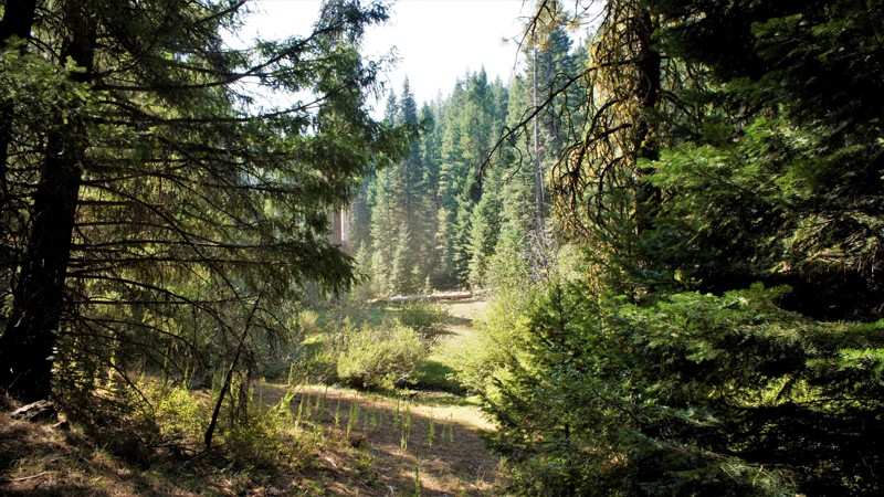
Updated: 06/05/2022
Timber Flat
Horseshoe Bend, Idaho
Timber Flat is in the Boise National Forest, two hours north of Boise, Idaho. Sagehen Dam and Reservoir is just 2.5 miles to the east with the first of four improved campgrounds. Some of the campgrounds are first come first served while others require a reservation. The lake is well known for its rainbow trout, so bring a fishing pole. The trail and entire area are in Idaho's hunting unit 32A where you will be sharing your space with deer, elk, black bear, mountain lions, and wolves, just to name a few of the forest's residents. This trail is one of many spurs along the main Sagehen Road and is best described as a dispersed camping paradise nestled among the pines, fir, and spruce. Shrubs and grasses dotted with wildflowers fill in the non-forested areas.
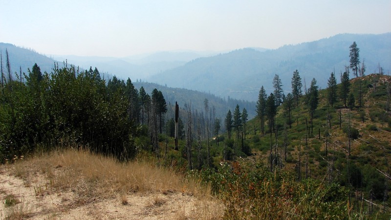
Updated: 10/15/2024
Rock Creek
Lowman, Idaho
Rock Creek Road is an easy single-lane sand and dirt road from Highway 21 to Lowman, where limited services and supplies are available. Rock Creek is a shelf road for almost its entire length, is primarily one lane wide with limited pullouts, and is highly snaky. It is an easy road to drive and can be driven in any vehicle, although moderate ground clearance and good tires are recommended. Most of the area around Rock Creek has burned in the last decade or two, leaving numerous dead-standing trees that can fall across the road. The primary hazards are blind curves and the road's narrowness—with little to no room to swerve out of the way of road hazards or oncoming traffic.
Much of the road is open on the downhill side, providing expansive views of the valleys and distant ridges. During the summer, smoke from area wildfires often limits the view. Because Rock Creek is a shelf road, camping options are limited. There are a few wide places in the road, particularly on inside switchbacks, where a quick, small camp could be set up, but there are no great camping areas.
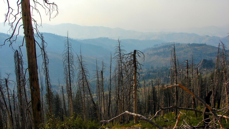
Updated: 10/15/2024
Roaring River Road
Rocky Bar, Idaho
Roaring River Road is a delightful single-lane, mostly gravel road suitable for any vehicle with moderate ground clearance. Roaring River Road goes from Trinity Ridge Road down to the Middle Fork of the Boise River in a long, gradual descent. The views are extensive, panoramic, and spectacular, except when smoke is in the air from summertime wildfires. At about the halfway point, the road crosses and then follows the Roaring River. There is a nice trailhead with a dispersed campsite at the crossing. Several other dispersed campsites are along the road, but no designated campgrounds.
Roaring River Road is one of three main roads from the Trinity Ridge area to the Middle Fork. All three are designated and groomed snowmobile trails in the winter and are closed to vehicle traffic during the snow season.
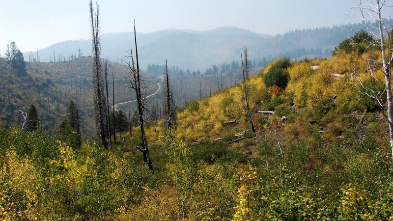
Updated: 10/15/2024
Edna Creek Road
Tenmile Summer Home Area, Idaho
Edna Creek Road is a moderately maintained gravel road that is easy to drive and suitable for any vehicle; however, scattered minor ruts and rocks require reasonable clearance. Significant water bars are also sharp enough to require fairly good break-over clearance. Much of the road is relatively open with opportunities for big, expansive views—currently blocked by smoke from the Wapiti Fire further north on 21. Much of the forest around Enda Creek Road has burned in past years, leaving many standing, dead trees that can fall across the road. One must be prepared to clear trees from the road or turn back and find a different route.
Dispersed camping is allowed, but there are few places to set up camp other than some wide spots next to the road and a couple further from the road, which hunters mostly fill during the hunting season. There are no campgrounds along Edna Creek Road.
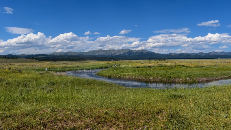
Updated: 10/15/2024
Lower Sheridan Ranch Road
Rea, Idaho
Welcome to Lower Sheridan Ranch Road, an extension of Old Shotgun Road, seamlessly blending into the picturesque beauty near Island Park, Idaho. This delightful journey winds through small hills, with intriguing fractured, boulder-like basaltic lava flow outcroppings dotting the landscape. Keep an eye out for those hidden gems - patches of trees that harbor fantastic, tucked-away campsites, perfect for an unforgettable outdoor escape.
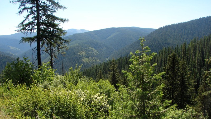
Updated: 08/11/2025
Shoshone Creek Road
Prichard, Idaho
Shoshone Creek Road runs from FS 3099 down to the Berlin Flats Group Campground. It is an easy road and can be driven by any vehicle with moderate ground clearance. The surface changes from good gravel two-lane to natural dirt single-lane. There are some small but deep potholes, particularly on the southern section. For most of the road, the trees are spaced sufficiently to avoid the claustrophobic feeling of a tree tunnel, allowing for almost continuous scenic beauty. There are some places high up where the trees part enough to offer spectacular views of the surrounding mountains and forest. Shoshone Creek Road continues south as a paved road beyond the route shown.
Dispersed camping is permitted, and there are several well-established sites.
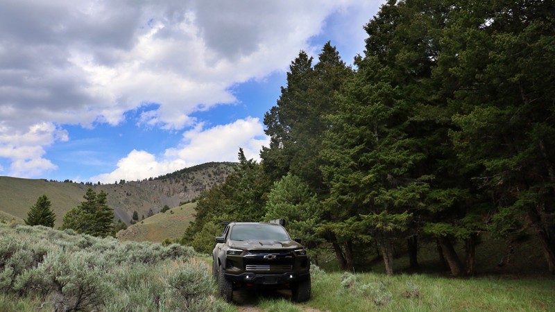
Updated: 08/11/2025
Pierce Canyon
Lone Pine, Idaho
Pierce Canyon serves as a rugged connector between South Fork Worthing and the surrounding high-country terrain. It is an offbeat path that winds through scattered tree stands, mellow hillsides, and slopes of exposed rock scree.
The trail itself is rough and rattly, with loose rocks ranging from softball to soccer-ball size scattered across much of the route. You’ll need to pick your line carefully as your rig bounces and flexes through this rocky stretch. Though nothing overly technical, it is enough to keep you alert behind the wheel.
While there aren't any clear camp sites along the route, the rugged scenery and transitional feel of the canyon make it a satisfying leg of the journey
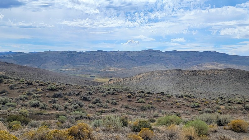
Updated: 09/04/2025
Rabbit Creek Road
Reynolds, Idaho
Rabbit Creek Road is a nice connector road between Reynolds Creek Road to the west and Highway 78 to the east. The trail traverses through the foothills of the Owyhee Mountains and is a short scenic drive that offers great views!
This double-wide gravel road is well-maintained and suitable for any vehicle. It does travel through an open range, so be cautious of livestock on the road. There aren’t any campsites along this trail. However, it is part of an extensive trail network that offers numerous opportunities for dispersed camping along other nearby roads.
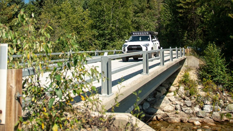
Updated: 10/09/2025
Upper Pack River Road
Elmira, Idaho
Upper Pack River Road offers one of the most scenic and relaxing drives in the Sandpoint area, following the Pack River deep into the Selkirk Mountains. This wide, well-maintained forest road requires no technical driving. It is a smooth mix of dirt and loose gravel that is easily managed by any vehicle, though high clearance is helpful for comfort. The road traces the winding river through lush pine forest and open stretches where sunlight glints off the water, creating the perfect setting for a summer drive or a quiet day of exploration. Several dispersed campsites appear along the way, from shaded riverside pullouts to larger clearings ideal for a weekend basecamp. The last third of the road passes several hiking trailheads, including Chimney Rock, Beehive Lakes, and Harrison Lake, popular destinations that take users deeper into the higher Selkirks.
A few bridges along the route are single-lane, requiring a bit of courtesy between drivers, but the remainder of the road is wide enough for easy two-way travel. The approach to the National Forest passes through private land, so it’s important to stay on the designated road and respect local property boundaries. With countless spur trails and nearby recreation options, Upper Pack River Road serves as both a scenic drive and a great launch point for further adventure in northern Idaho’s mountain backcountry.
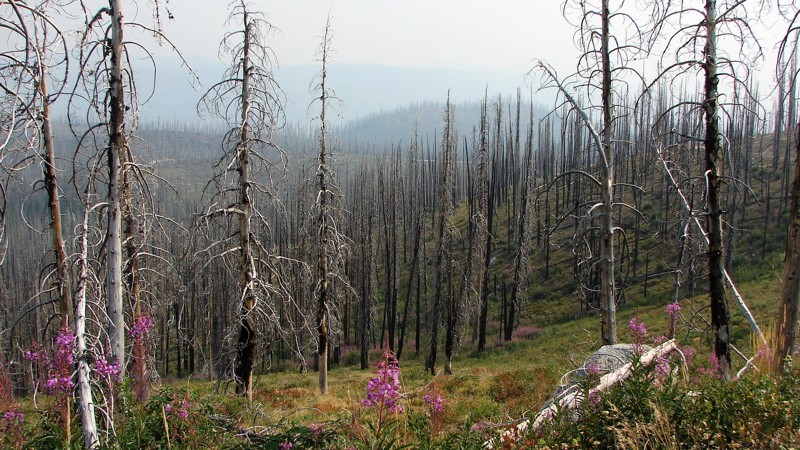
Updated: 12/14/2025
Whitehawk
Lowman, Idaho
Whitehawk is a one to two-lane sand road that is easy for any vehicle. It travels from the Lowman-Bear Valley Road to Wilson Creek Road, which leads to Deadwood Reservoir. Whitehawk is primarily a shelf road that winds around the mountains and along the sides of the valleys. Although it is often reasonably wide, you must still be cautious of oncoming traffic, which can be heavy on weekends. Dust can also be a factor that limits visibility. When the air is clear, there are many opportunities for big, expansive views of the mountains and valleys. Unfortunately, during fire season from July through September, the air is often heavily smoke-laden, which grays out or blocks the big views. Almost the entire length of Whitehawk has burned in the past, with many dead trees. Because burned dead trees often fall across the road, you must be prepared to remove trees blocking the road or turn around and take a different route.
Dispersed camping is allowed, and several acceptable sites exist. Camping is also available at Deadwood Reservoir down Wilson Creek Road.
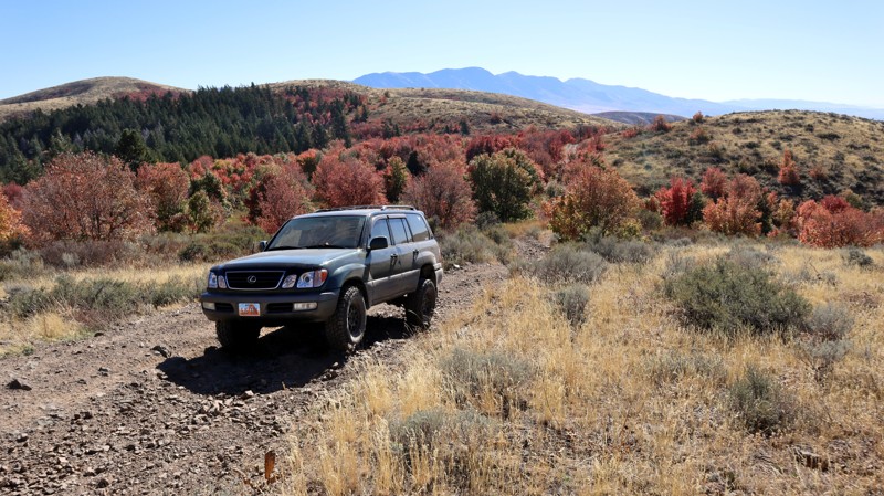
Updated: 11/15/2025
Blackrock Canyon North Ridge
Inkom, Idaho
Situated in the northeast corner of the Chinese Peak-Blackrock Trail System and partially on Idaho State land, trail 0319 provides amazing views of the surrounding mountain range, especially so during the fall season when the hillsides erupt with vibrant color. The trail offers several steep hill climbs covered in hard rocks, making the ride quite rough. The trail begins at 0302, travels past 03113, and dead ends for any vehicle wider than 50". 50" or less vehicles can continue on, using several other ATV trails to loop back to the staging areas. Full-size users will need to use 0302 to create a full loop through Blackrock Canyon.
Along the trail, there are a limited few campsites, that are fairly large and level, suitable for any camp setup.
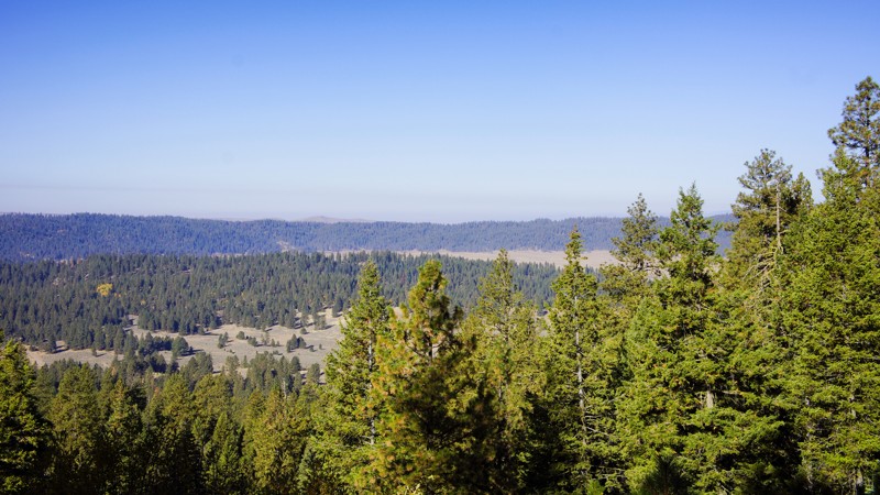
Updated: 09/30/2025
Dry Buck Spur
Williams Creek Summit Home Area, Idaho
Dry Buck Spur, FR 643Q, is in the beautiful and diverse Boise National Forest. It is a mirror image of 643M North Fork Ridge to the east. This side of the ridge offers fantastic views into High Valley through the pines, cedar, and quaking aspen. You won't be disappointed at the secluded dispersed campsite at the end of the trail.
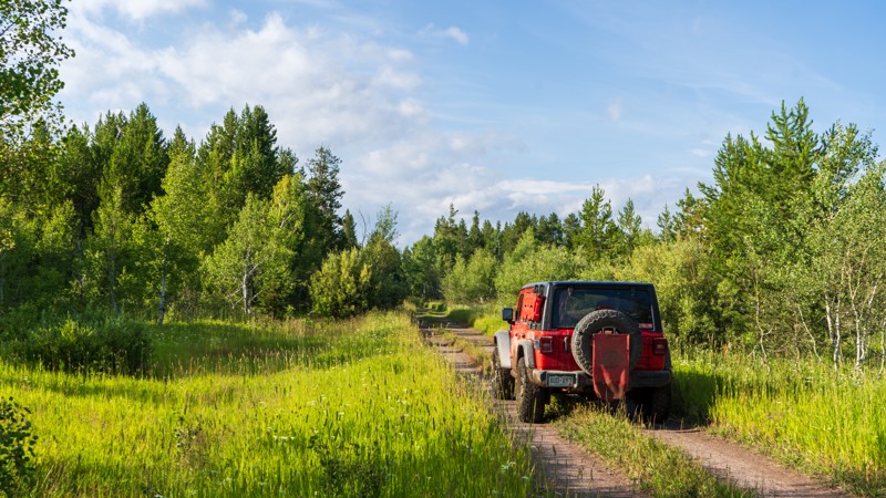
Updated: 10/15/2024
Parallel
Sarilda, Idaho
Although nothing overly difficult, Parallel had much more mud and bigger ruts than other trails in the area. Running parallel to Highway 20, this trail is tight in the trees, making the puddles stick around a tad longer. Due to the limited use, there's encroaching vegetation. Low-hanging branches could scratch your paint, so be on the lookout. Camping on this trail is possible in a few locations and is rather large and flat despite the confined nature of the trail itself.
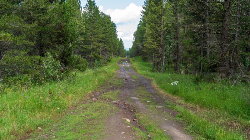
Updated: 10/15/2024
Little Butte
Sarilda, Idaho
Stretching over three miles through the Targhee National Forest, Little Butte takes you from Highway 20 to South Antelope Flat. Although nothing more than a bumpy dirt road on a good day, this trail quickly becomes a mud fest after a passing thunderstorm. Ruts are a common occurrence. High ground clearance is required. A few dispersed campsites are found along this trail as well.
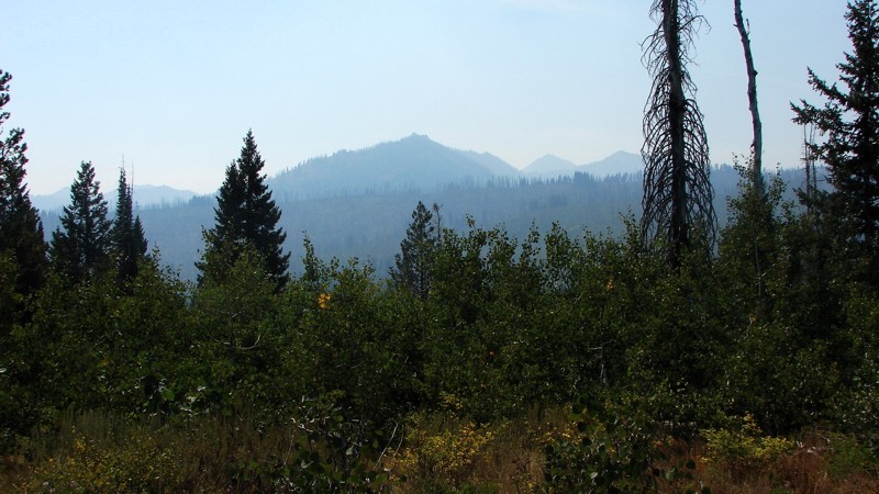
Updated: 10/15/2024
Trinity Creek Road
Featherville, Idaho
Trinity Creek Road is the main access route from Featherville to Trinity Ridge and the Trinity Lakes. RVs and horse trailers often use a well-maintained, one- to two-lane gravel road. Trinity Lakes Road is easy to drive and suitable for any vehicle. No campgrounds are along the road, but ample opportunities for dispersed camping exist. Good campgrounds can be found at the Trinity Lakes, three miles south of the intersection of Trinity Creek and Trinity Ridge Roads. Much of the road follows Trinity Creek, and there are good opportunities for picturesque views of the creek and rapids. Because the road is bordered mainly by thick forest, there are few extensive views, but they are spectacular where they exist. During fire season from July through September, the vast views are often obscured by smoke and haze.
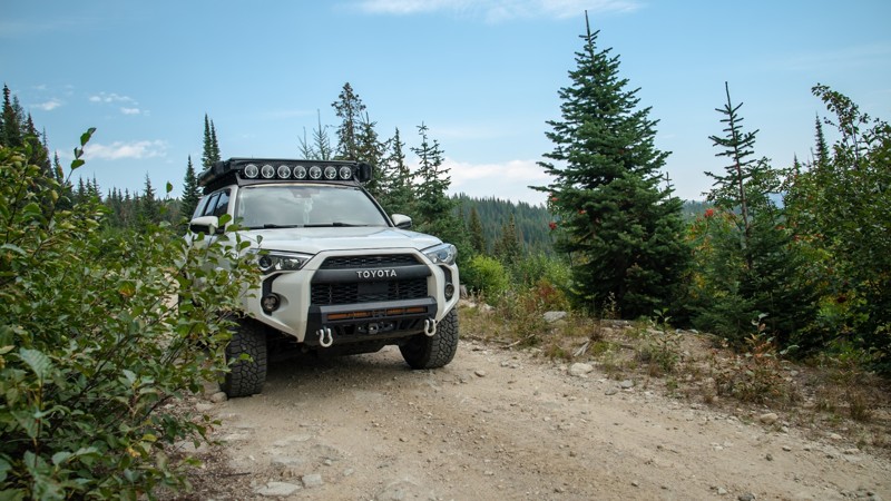
Updated: 10/09/2025
Cooks Lake
Moravia, Idaho
Cooks Lake, tucked up in the mountains near Bonners Ferry, is a beautiful spot if you’re looking to relax or do some fishing. The road is primarily easy and graded, but the closer to the lake you get, the rougher the terrain. At one point, you will need to squeeze by a pretty sketchy 3–4 foot-deep hole that takes up one side of the trail with a drop-off on the other. There’s barely enough room for a 4Runner to get through, but you need to be very precise with your tire placement. Anything larger than a midsize SUV isn’t recommended due to this obstacle.
The drive up is stunning, offering views of the forest and an abundance of wildflowers in the summer. Much of the road is a narrow shelf road that winds through trees and brush as you climb past 5,500 feet. At the end of the trail, there’s a small campsite, and from there you can hike a short distance (1/4 mile one-way) up to the lake if your rig isn’t equipped for the steep, rocky section to get to the lake. Quads and side-by-sides can usually make it right up to the water’s edge, but for full-size vehicles, you’ll need high clearance, 4WD, and low range to tackle this section. Otherwise, it’s a quick hike on foot.
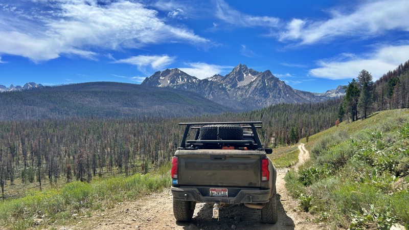
Updated: 07/16/2026
Dry Creek
Stanley, Idaho
Dry Creek Road (FS 70630) is a scenic backcountry route that can be driven as a loop between Highway 21 and Stanley Lake Road, offering spectacular views of the Sawtooth Range and a glimpse into Idaho's recovering forests. The trail winds through lodgepole pine forests and wildfire burn areas where vibrant wildflowers and young pines are reclaiming the landscape. Several spacious dispersed campsites near the Highway 21 trailhead provide outstanding mountain views and are suitable for travel trailers during the first mile. Beyond that, the road becomes narrower, steeper, and noticeably rockier, making it better suited for high-clearance vehicles and not recommended for towing most trailers. With panoramic overlooks, peaceful camping, and far less traffic than many nearby routes, Dry Creek Road is a rewarding escape into the quieter side of the Stanley area.
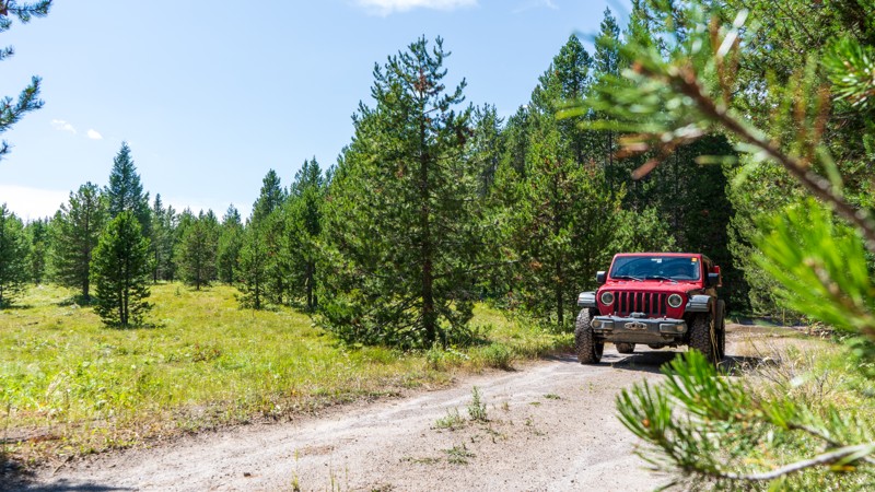
Updated: 10/15/2024
West Hatchery Ford
Warm River, Idaho
West Hatchery Ford is an easy, 1.5-mile dead-end trail taking you through the Targhee National Forest. Although there are no obstacles or specific sights, it is still a nice trail with lush vegetation and fresh air. Mud puddles may stick around in the shaded areas but are never more than a few inches deep and have a firm bottom. There were a few camping options sprinkled throughout the trail.
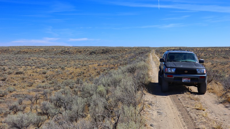
Updated: 12/31/2025
Northern Redwood Road
Sage Junction, Idaho
If you love a good desert landscape you may like this area. It's a nice easy drive through the desert with some mild challenges along the way. Being on Bureau of Land Management land you can camp along this trail, but don't expect to find any good camping spots. It's also not unusual to see fire restrictions in this area due to how dry it gets. For more details on camping on BLM land see their website.
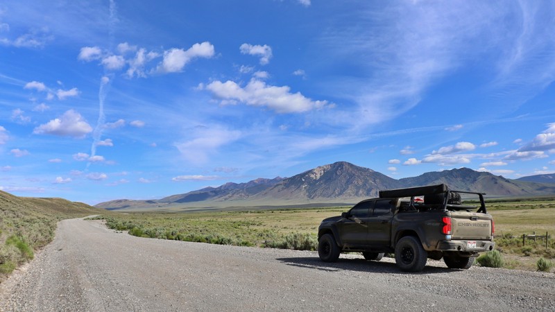
Updated: 08/11/2025
Summit Creek/Pahsimeroi
Goldburg, Idaho
Summit Creek Road, often referred to as Pahsimeroi Road, is the main unpaved artery running through the heart of Idaho’s remote and stunning Pahsimeroi Valley. This rugged backroad serves as a key connector to a variety of off-road routes and scenic byways, linking adventurous travelers to places like Sawmill Canyon and Pass Creek Road, which crosses over the Lost River Range.
Just off the road lies the Summit Creek Recreation Site, a lush oasis fed by a network of natural springs and winding creeks. The recreation site features a peaceful campground complete with picnic tables and three vault toilets, offering a comfortable place to rest before the next leg of your journey.
Across the road, Summit Creek beckons anglers with populations of Rainbow, Brook, and Bull Trout in its calm, clear waters. And just a stone’s throw away, Barney Hot Springs offers a scenic and somewhat hidden escape, perfect for those looking to soak in a wild and off-the-beaten-path experience.
Whether you’re passing through on a longer overland route or settling in to explore the valley and surrounding ranges, Summit Creek Road delivers a blend of rugged adventure and serene high desert beauty.
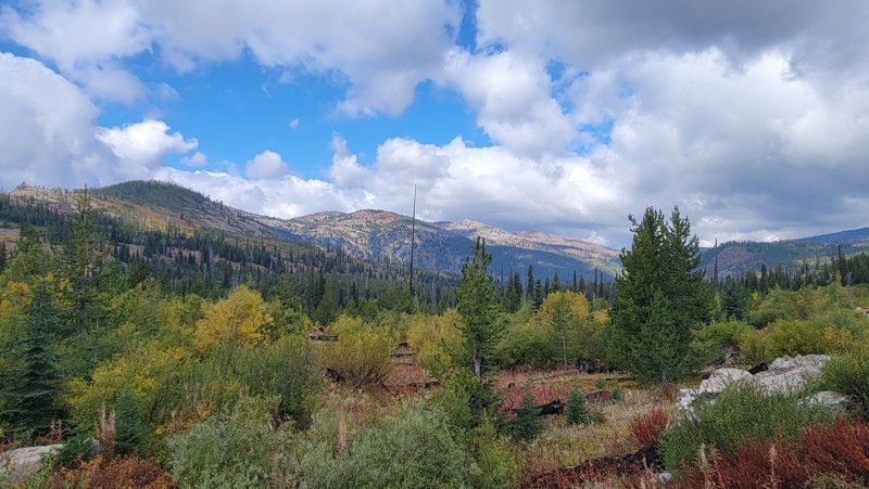
Updated: 07/06/2026
Goose Lake Road
Meadows, Idaho
Goose Lake Road (Forest Service Road 257) starts from Brundage Ski Resort in the south near the charming mountain town of McCall. This spectacular drive traverses the Payette National Forest and the Grass Mountains, passing by a couple of picturesque lakes that offer boating and other water activities.
There are several camping opportunities along this memorable trail, including developed campgrounds at Goose Lake and Hazard Lake, as well as numerous small turnouts and spurs for dispersed camping.
This heavily trafficked two-lane gravel road is suitable for any high-clearance vehicle; 4WD is not required. There are a couple of washboard areas and some potholes, but no challenging obstacles.
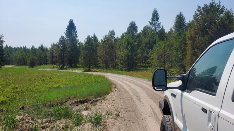
Updated: 10/15/2024
Lyle Springs
Island Park, Idaho
Lyle Springs Road, also known as FR170, is a packed dirt road that connects North Antelope Flat with Green Canyon Road. There are no obstacles along this trail, so it can be accessed by any high clearance vehicle. There are several established campsites along this route, with a few even large enough for trailers or multiple vehicles.
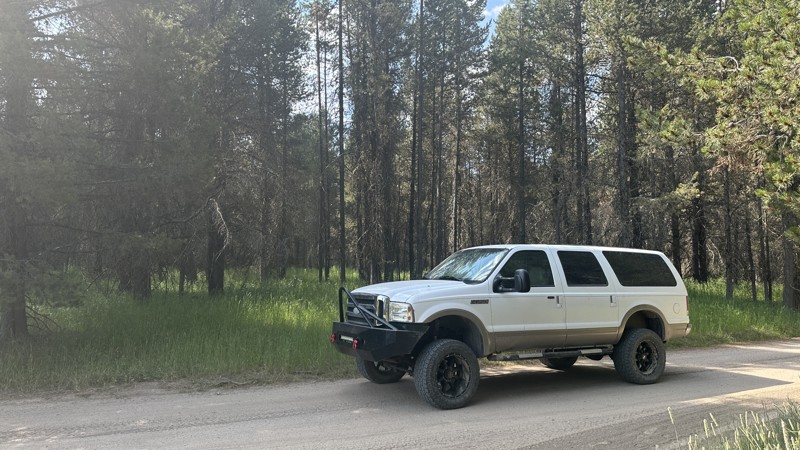
Updated: 10/15/2024
West End Campground Road
Rea, Idaho
FR 465, also known as West End Campground Road, is a compacted, unmaintained dirt road that follows the southern shoreline of Island Park Reservoir. Occasionally, ruts and small washes in the road may accumulate water after heavy rain. Along this route are numerous free dispersed campsites, with several being large enough for multiple RV trailers. Many of these campsites are also within a short walking distance of Island Park Reservoir's shoreline, providing ample opportunity for shore fishing. This route passes by the West End Campground, with additional free dispersed campsites and a vault toilet. Also along this route is the West End Boat Ramp to Island Park Reservoir, which also has vault toilets and nearby camping.
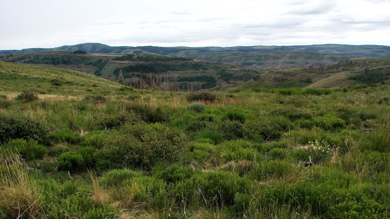
Updated: 12/02/2025
Dry Creek Road
Artesian City, Idaho
Dry Creek Road is one of several access roads that connect the agricultural area north of the Sawtooth National Forest to the vicinity of Oakley Rogerson Road. It is an easy road suitable for any vehicle with moderate ground clearance. While the surface is mostly dirt and coarse sand, there are areas where the natural base rocks protrude, causing a rather rough ride. The road primarily follows a long ridge with some rather outstanding panoramic views. The northern portion of the road is located on BLM land and features a relatively high-quality sagebrush steppe. Once you enter the National Forest, the sagebrush is often replaced by stands of both deciduous and coniferous trees, creating a delightful patchwork pattern. The trees become more abundant towards the south end of the road, but like much of Southern Idaho, many stands have burned over the years, leaving thick stands of dead trees.
Although dispersed camping is allowed along all of Dry Creek Road, there are no established dispersed sites within view of the road. Many side roads may lead to nice camping sites and are available for further exploration with an adequate vehicle.
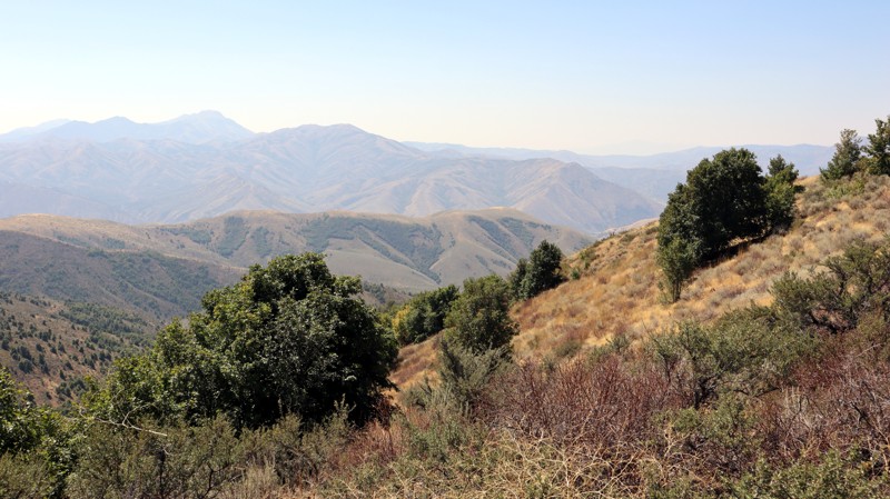
Updated: 11/15/2025
Blackrock Canyon South Ridge
Blackrock, Idaho
Blackrock Canyon South Ridge is a shortcut connector between Chinese Peak and Blackrock Canyon West. It is less than a mile long and primarily an easy, hard-packed dirt road. However, the trail is one vehicle wide, cutting across a steep, exposed slope, making passing oncoming traffic extremely difficult. It offers expansive views of the area but no camping opportunities.
This is a popular trail system for all user types, as there are over 40 miles of trails for motorized, equestrian, mountain biking, and hiking users. The trail system is seasonally closed from November 16th to April 15th each year.
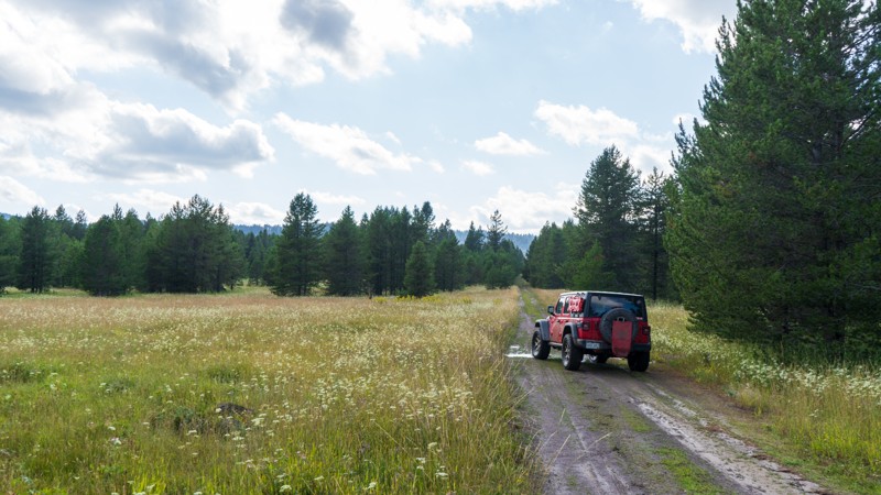
Updated: 10/15/2024
High Point
Gerrit, Idaho
Although generally dry, this trail can provide quite an exciting time if storms have been rolling through. This packed dirt trail turns to slick mud and deep puddles during the peak of the monsoon season. Providing access to the Targhee National Forest, this trail departs right off Highway 20 and jogs 3 miles west, taking you far enough away to enjoy the peace and quiet that this area has to offer.
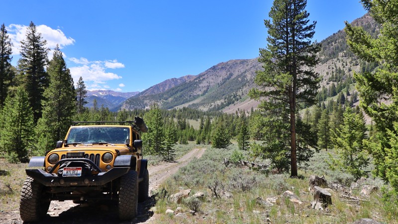
Updated: 10/15/2024
Kane Kappa Road
Sun Valley, Idaho
Kane Kappa Road offers a refreshing Jeep trail that escapes the busy, dusty Trail Creek. Caution is advised for passenger vehicles on this trail, where unexpected washouts and imposing rocks pose challenges. This straight-through trail leads you to the serene Kane Creek. While no established campsites dot this route, explorers can find promising offshoots offering ideal spots for dispersed camping.
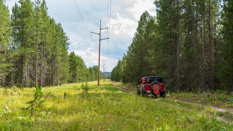
Updated: 10/15/2024
Sheep Falls Spur 1
Gerrit, Idaho
Sheep Falls Spur 1 is a bumpy dirt road that follows the powerlines to the river. Although there are no major challenges, mud puddles appear often and can be over a foot deep. There is not much in the way of views other than trees and powerlines, but the wildflowers between the poles can be quite vibrant. No camping was found anywhere along this trail, but nearby trails have multiple options.
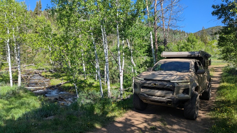
Updated: 06/23/2025
Old Fish Haven
Fish Haven, Idaho
Old Fish Haven is a lesser-traveled, out-and-back trail that offers a more rugged and private backcountry experience. Right out of the gate, it has a rocky technical section made up of protruding basketball-sized rocks. After the initial rock garden, the trail has a few other smaller rock sections but mellows out and winds its way through dense forest. Fish Haven Creek cuts across the trail, adding to the remote mountain charm and offering a refreshing stop. Dispersed campsites are limited but peaceful, tucked off the trail and ideal for one or two rigs looking for solitude.
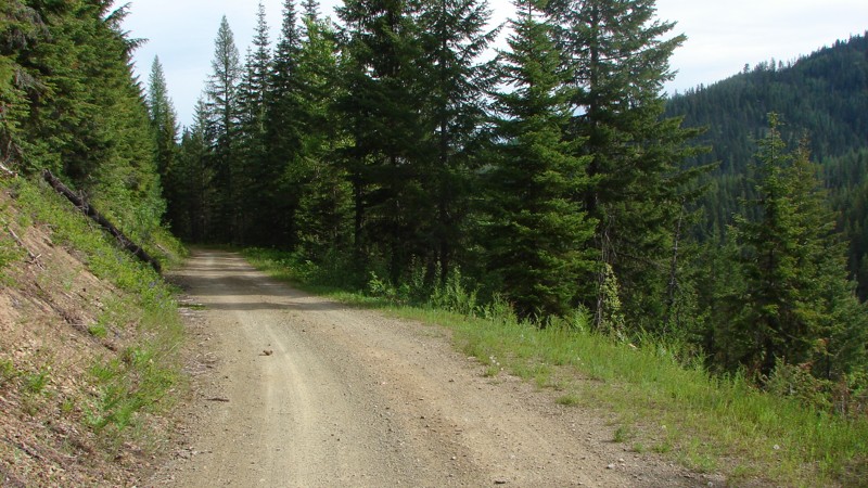
Updated: 08/11/2025
Tepee Creek Road
Linfor, Idaho
TePee Creek Road is a one-lane, mostly dirt road that runs from Stull Saddle to FS 422. At one time, the road was graveled, but most of the gravel has disappeared from the surface. The lower sections of the road are dotted with potholes, but it is still drivable by any vehicle with moderate ground clearance. Although much of the road goes through dense forest, there are ample opportunities for big, expansive views.
Dispersed camping is permitted; however, there are no established dispersed camping sites. There are a few wide spots and pullouts where an overnight camp could be established, but better options are available on nearby roads.
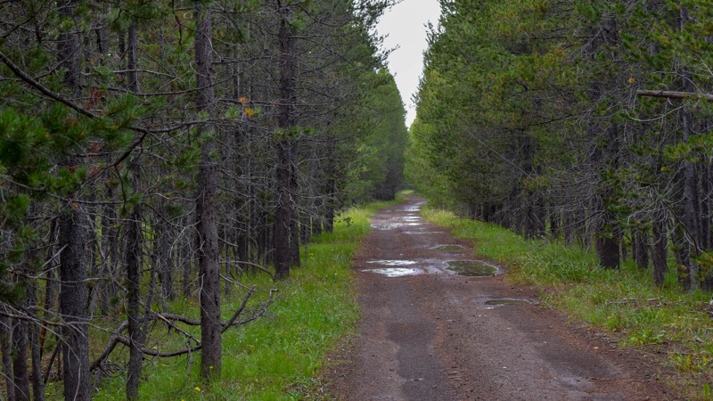
Updated: 10/15/2024
Kooch Ranch
Big Springs, Idaho
This is a very basic trail with not a ton of real value. No turnouts, campsites, outlet, or view beyond the trees. There are plenty of other trails in the area, time to leave this one for nature to reclaim.
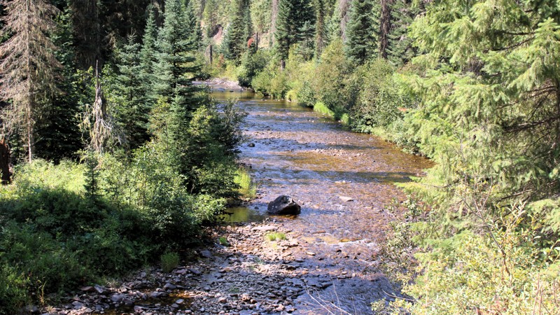
Updated: 09/11/2025
Newsom Creek Road
Mud Springs, Idaho
Newsom Creek Road goes from Highway 14 to a major intersection with Tahoe Road, FS 286, and Boundary Ridge Road, FS 464. From Highway 14 to the little hamlet of Newsom, about 8 miles, Newsom Creek Road is part of the Elk City Wagon Road, a historical road dating to the mining days in the Elk City area.
Today, Newsom Creek Road is a relatively easy drive on a well-maintained two-lane gravel roadbed; it can be navigated by any vehicle. There are a few sections of minor washboards and a few potholes. Other than that, the main hazards are dust and traffic on the numerous blind curves.
Between Highway 14 and Newsom, there are three very small national forest campgrounds with minimal amenities. Dispersed camping is permitted along the entire road, and there are several established sites, some of which are large enough to accommodate multiple RVs, along this lower stretch. Above Newsom, there are no campgrounds, and I didn't see any established dispersed sites.
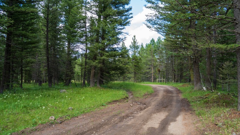
Updated: 10/15/2024
Antelope Cutoff
Island Park, Idaho
Acting as a jumper, Antelope Cutoff gets you from North Antelope Flat to South Antelope Flat very quickly, providing access to the main feeder trails from Highway 20 to this portion of the Targhee National Forest. Just like its bigger brothers, there are no major obstacles shy of a shallow mud puddle. Although camping is legal, there are no established sites, and you may be joined by a herd of cows if you choose to pitch a tent along this short trail!
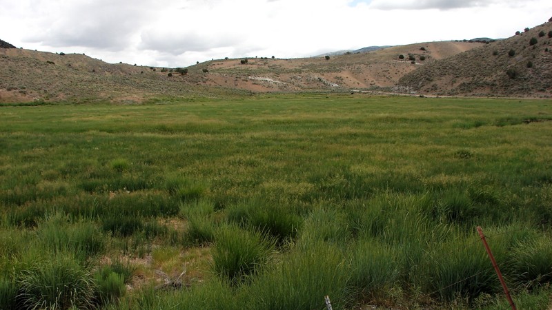
Updated: 12/02/2025
Goose Creek Road
Oakley, Idaho
Goose Creek Road is a well-maintained, two-lane, gravel road starting near Oakley, Idaho, going southwest through a corner of Utah, and then ending in Nevada, where it connects with Jackpot Little Goose Road going north and Rock Springs Road going south. Much of the road follows along creeks where large fields of grass hay are grown for cattle feed. Where there is no grass hay, the landscape varies from a sagebrush steppe to a juniper forest. Because the route generally follows along the creek bottoms, there are many expansive views across the fields to the distant mountains. The junipers grow where the road lifts away from the bottoms to cross small mountain passes and shoulders.
The road is an easy drive suitable for any vehicle with moderate ground clearance. In Idaho and Utah, the road is generally maintained better than in Nevada. However, in the better-maintained areas, mild to severe washboards are a significant problem. In Nevada, there are fewer washboards, but there are some ruts and washes from spring moisture.
Dispersed camping is allowed on all of the public land along the road; however, there is only one established site, near the south end of the road. There are ample wide spots and pullouts along the road where a quick overnight camp could be established. Much of the bordering land is privately held; please be respectful of private land and avoid camping in those areas.
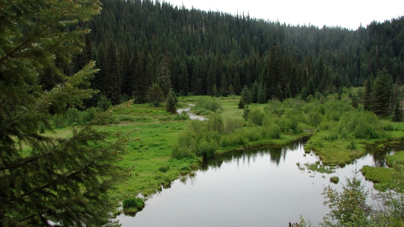
Updated: 08/11/2025
Leiberg McGee
Canyon, Idaho
The Leiberg McGee Road is a two-lane gravel road from the McGee warming hut to FS 209. It can be driven by any vehicle with moderate ground clearance. On the north end, it follows TeePee Creek, where large open areas provide delightful views of the creek running through the valley bottom. Further south, it climbs away from the creek to the five-way Leiberg Saddle that can be confusing to navigate. Continuing south, it drops from the saddle to FS 209 along the North Fork of the Coeur d'Alene River.
The biggest hazards are potential dust, some blind curves, and some sections with potholes. Dispersed camping is available, but there were no established dispersed sites right along the road. Some dispersed camping is available on side roads, particularly near the northern end of McGee Leiberg Road.
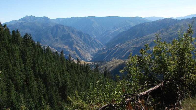
Updated: 11/30/2025
Grangeville Salmon Road
Riggins Hot Springs, Idaho
The Grangeville Salmon Road is a well-maintained, mostly two-lane, gravel road suitable for any vehicle with reasonable ground clearance. There are sections with moderate washboards and potholes. The most significant hazards are dust and blind curves. The road climbs from the Salmon River to about one-third of the way to Grangeville, where it becomes paved for the rest of the way to town. Much of the road provides excellent, panoramic views of the surrounding mountains and valleys.
There are no dispersed campsites along this dirt road. However, there are campgrounds down along the Salmon River and along the paved section of road heading to Grangeville.
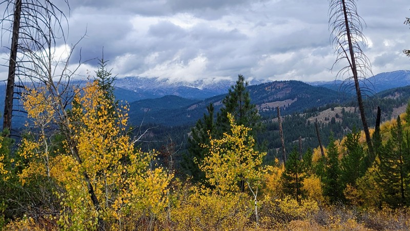
Updated: 11/07/2025
Pine Creek Road
Idaho City, Idaho
Pine Creek Road winds through the Boise National Forest with wide-open views of the surrounding Boise Mountains. The route begins just north of historic Idaho City, once one of the West’s largest mining towns in the 19th century, and follows a single-lane dirt track suitable for most high-clearance vehicles. Surface conditions range from smooth stretches to potholes and embedded rock, but the drive remains easy to navigate. There are no developed campgrounds along the road, though several dispersed sites appear along the way; for amenities, Bald Mountain Campground sits just past the southern end of the trail.
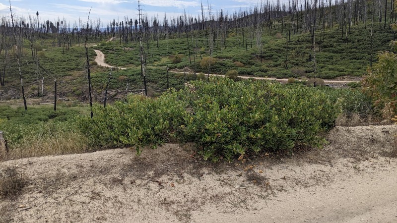
Updated: 10/15/2024
Castle Creek
Pine, Idaho
Castle Creek, FS 130, starts on Fall Creek Road and goes onto a shelf along the west side of the Fall Creek Canyon. The area was burned by a forest fire in about 2012 and is covered in dead, standing trees with newer bushes and other vegetation starting to grow. The road is primarily on forest service land, but there is private land, some of which have cabins. Unless you can be sure you are on public land, it is best to stay on the road or the numbered side roads leading off the main road. FS 130 is open in the summer only as it is not cleared nor maintained in the winter. FS 130 connects with FS 136 to access the House Mountain area.
While dispersed camping is allowed, there are no campsites along the road. Dispersed campsites are on the small numbered roads leading off of the FS 130. Please ensure any site is on public land.
The primary hazards on FS 130 are washouts and ruts in the road, downed trees, and livestock. This is open range, so it’s possible to have cattle on or near the road.
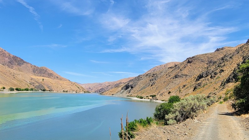
Updated: 09/04/2025
Olds Ferry Road
Eaton, Idaho
Olds Ferry Road is a scenic, easy-going drive that hugs the shoreline of Brownlee Reservoir, part of the Snake River, with golden hills of the Snake River Valley rising to the Hitt Mountain Range in the distance. The road is well-suited for high-clearance vehicles, with only a few rocky patches along the way, and rewards drivers with remarkable views and access to outdoor recreation. Steck Park, a developed campground right on the water, offers picnic tables, fire rings, a boat ramp, and reservable sites, making it a great basecamp for exploring the area. At the southern end, the road connects to the Weiser Sand Dunes OHV area, while the northern end is blocked by private property and a locked gate, so access is only possible from the town of Weiser. Whether you’re out for a leisurely drive or setting up camp by the reservoir, Olds Ferry Road delivers a quiet slice of Idaho’s high-desert beauty.
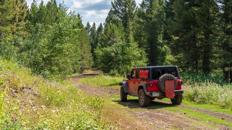
Updated: 10/15/2024
Fir
Idmon, Idaho
Fir is an easy, packed-dirt trail taking you from Davis Lake over to the Antelope Flat area. The trail is a bit unique, with the color of the dirt changing from red to black as you climb and drop over the tame hills. There are no obstacles to be driven, so any high clearance vehicle is acceptable for driving this trail. Camping is available as well, with the best spot lying at the west end of the trail.
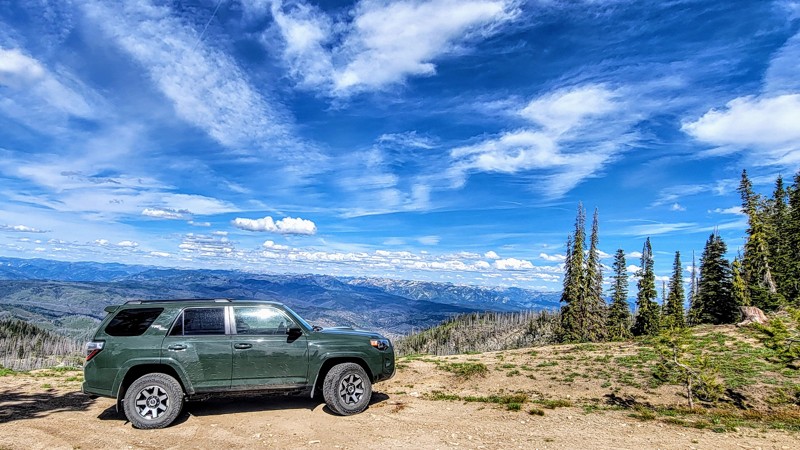
Updated: 08/11/2025
Summit Flat
Tenmile Summer Home Area, Idaho
Located only an hour from Boise, Summit Flat Road (FSR 380) stretches from just north of Idaho City on its eastern end to the historic mining town of Pioneerville on the west. Pioneerville was one of the main mining towns during the Boise Gold Rush of 1862.
This tree-lined dirt and rocky road traverses the Boise National Forest, offering spectacular views of the rugged Sawtooth Mountains to the northeast and the Boise Mountains to the south. Be sure to take the short spur up to Pilot Peak; it offers the best views, and the spur is located at the southeastern end of the trail. Grimes Creek runs alongside most of the trail.
Towards the east of the trail, there are bumpy rocky sections with a mild incline that will keep your speeds low, but any high-clearance vehicle can make it. 4WD is recommended but not necessary. Along the drive, you will find only a few pullouts suitable for camping.
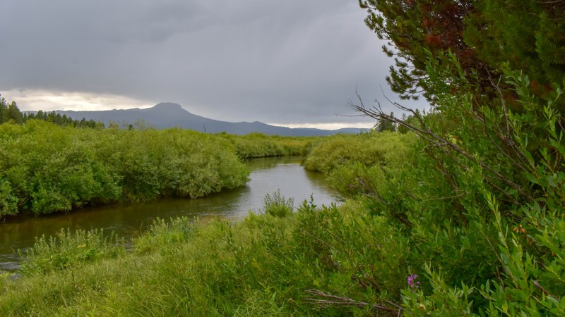
Updated: 10/15/2024
Orme Ranch
Big Springs, Idaho
Orme Ranch Road is an out-and-back trail with three excellent campsites along Henrys Lake Outlet. The campsites are within the first half mile, as the remainder of the road is flanked by private property. The trail offers nice views further ahead but no turnouts or parking spots. The highlight of this trail is undoubtedly the campsites.
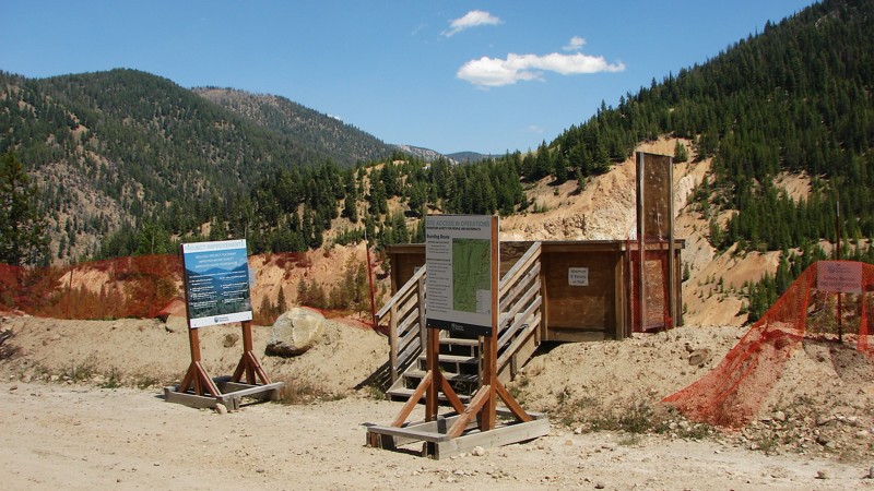
Updated: 09/04/2025
Stibnite Road
Yellow Pine, Idaho
Stibnite Road connects Yellow Pine, Idaho, to the Stibnite Gold Project, a redevelopment of an old gold mine aimed at recovering gold and antimony while restoring the site's environmental aspects. The road dead-ends at the Stibnite Project, where it enters restricted areas. The road is a very well-maintained one to two lane gravel road that can be travelled by any vehicle. Before arriving at the historical and environmental Stibite Site, the road follows the East Fork of the South Fork of the Salmon River, which provides a continuous string of brilliant scenic views of rapids and riffles. The primary hazard is an abundance of very tight blind corners, severe amounts of dust, and, when the site is operational, the chance of meeting large trucks going to or from the site.
Dispersed camping is allowed along Stibnite Road, and there are several existing sites. Be aware that there is also a considerable amount of private property along the road that must be respected.
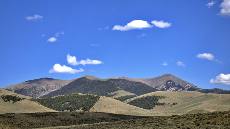
Updated: 08/11/2025
O'Brien Gulch
Lone Pine, Idaho
O’Brien Gulch is a scenic and straightforward gateway into the lower Bitterroot Range, linking Highway 28 to a network of rugged canyons and off-road routes, including the climb up South Fork Worthing. The drive eases you into the backcountry with a relatively mild trail that winds through rolling terrain and open stretches of sagebrush-covered hills.
There are no noticeable spots for setting up camp. Instead, O’Brien Gulch functions as a solid connector. This inviting entry point gradually transitions you from pavement to the high-country vistas and deeper adventures waiting farther up the trail.
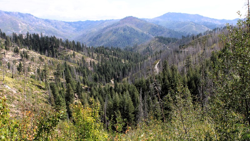
Updated: 10/09/2025
Burnt Creek Road
Prairie, Idaho
Burnt Creek Road is a typical, rough backcountry route connecting the small community of Prairie, Idaho, to Trinity Mountain Road, climbing through steep country with plenty of character. The road begins in the wide-open grasslands outside Prairie before narrowing into a one-lane gravel track that winds its way up into the mountains. Expect moderate washouts, loose granite surfaces, and a few sustained climbs where four-wheel drive proves useful, though nothing is overly technical for a driver who takes their time.
The reward for the effort comes in the scenery, with broad alpine views, rugged ridgelines, and a landscape shaped by both fire and regrowth. While burn scars in some stretches leave the hillsides raw, they also open the vistas to distant peaks and deep valleys. Along the way, you’ll find a few established dispersed campsites, some complete with old fire rings, particularly on the stretches of public land beyond the private holdings near Prairie. Whether you’re looking for a scenic climb, a quiet camp spot, or a connection deeper into the Trinity Mountains, Burnt Creek Road delivers a true Idaho high-country experience.
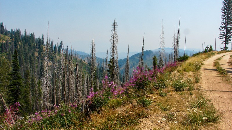
Updated: 09/30/2025
High Quartz
Tenmile Summer Home Area, Idaho
High Quartz Road goes from FS 380C (Summit Flat-Rock Creek) to FS 551 (Rock Edna). It is easy to drive and, although suitable for any vehicle, moderate ground clearance and good tires are recommended due to rocks and minor ruts. The primary hazards are blind turns. High Quartz is a shelf road for its entire length with no campgrounds or good places to set up a dispersed camp. The views are phenomenal, but the smoke from area wildfires can diminish them considerably. In early August, wildflowers are abundant, which brightens the terrain.
This is a seasonal road and is only open to vehicle traffic from July 1 through September 30.
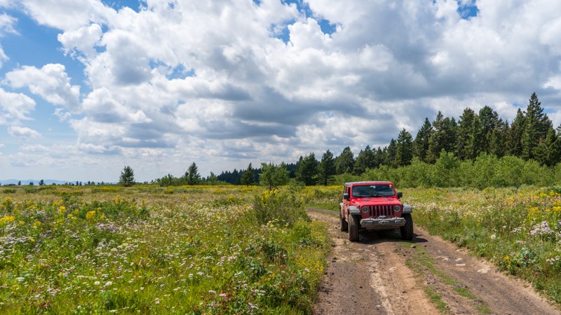
Updated: 10/15/2024
Fogg Butte Road
Idmon, Idaho
Acting as a cutover from Fir, Fogg Butte Road is a bumpy dirt road with no obstacles. It is short at only 1.3 miles and gives you access to Fogg Butte and a few dispersed campsites, although not many are ideal. From the open meadows on the caldera, this trail slowly climbs uphill to the north, dumping you into the trees of the Targhee National Forest.
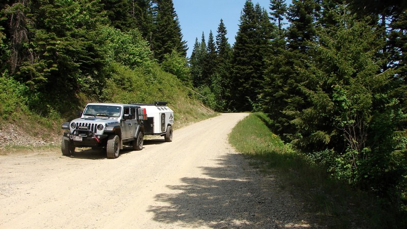
Updated: 08/11/2025
Chilco Road
Lakeview, Idaho
Chilco Road is a two-lane gravel road that leads into the interior of the Idaho Panhandle National Forest. Though not technical, the road is rough in places due to washboarding, exposed rocks, and small potholes. Numerous blind curves require attentive driving. It is generally suitable for any vehicle with moderate ground clearance. The area is especially popular with side-by-sides, ATVs, and motorcycles, particularly on weekends.
Despite traversing steep, mountainous terrain, the road is mostly lined with dense forest, which limits expansive views. Dispersed camping is permitted, though options are limited. One well-established site is located at the south end of the road and can accommodate multiple rigs.
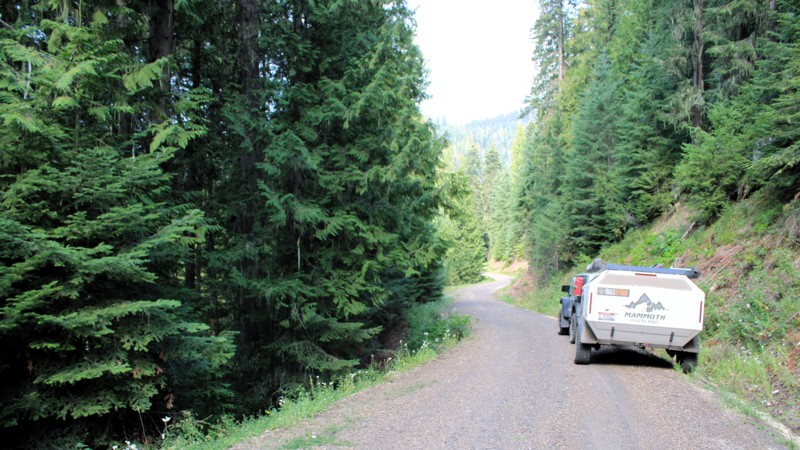
Updated: 09/11/2025
Tahoe Road
Newsome, Idaho
Most of Tahoe Road travels through dense forest that blocks all of the big views. On the Stites end of the road, there are a few open areas where the big views can be enjoyed. Even so, it's a delightful drive through the forest on a very windy, well-maintained gravel road. There are almost no washboards or potholes. The significant hazards are dust and blind curves. Tahoe Road can be driven by any vehicle.
There are no campgrounds along Tahoe Road. Dispersed camping is permitted, but there are very few established sites with existing fire rings. Several areas along the road are large enough and flat enough to set up a quick overnight camp.
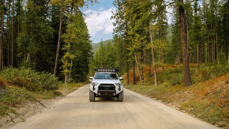
Updated: 10/09/2025
Snow Creek
Moravia, Idaho
Snow Creek Road is a scenic, easy-going drive tucked into the forested hills southwest of Bonners Ferry, offering a peaceful way to explore Idaho’s lush northern backcountry. This well-graded gravel road has no obstacles or technical challenges, making it accessible to nearly any vehicle and perfect for a relaxed day of exploring. Towering pines and cedars line the route, filtering sunlight through a green canopy and giving the drive a secluded, wilderness feel. The road connects with several nearby routes, making it a useful link for travelers headed deeper into the Selkirk Mountains or exploring the surrounding forest network. While there’s no camping directly along the main road, the surrounding spur routes offer excellent opportunities to find a quiet dispersed site. Signs along the way remind visitors that this is active bear country, an authentic reminder of how wild and untouched the area remains. Toward the end of the road, you’ll find access to nearby hiking trails, including options that lead to scenic waterfalls, making Snow Creek Road an ideal mix of easy driving and natural beauty for anyone looking to slow down and enjoy Idaho’s mountain serenity.
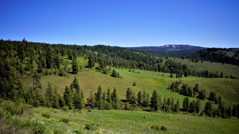
Updated: 04/24/2026
Sagehen Spur 626U1
Gross, Idaho
Sagehen Spur 626U1 is a .2-mile long out-and-back spur off of 626U that ends at a dispersed campsite. This trail is within Idaho's hunting unit 32A, where you will be sharing your space with deer, elk, black bears, mountain lions, and wolves, to name a few. This trail is one of many spurs along the main Sagehen Road and is best described as a dispersed camping paradise nestled among the pines, fir, and spruce. Shrubs and grasses dotted with wildflowers fill in the non-forested areas. It is a typical pine forest dirt trail that can get a bit muddy and slippery during rain or snowy weather, but the trail is relatively flat and should be manageable by most high clearance vehicles.
Sagehen Dam and Reservoir is just 1.5 miles to the east. The reservoir has four improved campgrounds; some are first come, first served, and others require a reservation. The lake is well known for its rainbow trout, so bring your fishing pole.
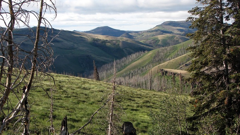
Updated: 12/02/2025
Trapper Creek Road
Iversons, Idaho
Trapper Creek Road is a well-maintained, one to two-lane gravel road that runs from the Oakley Rogerson Road to Goose Creek Reservoir, near the town of Oakley, Idaho. It is an easy drive suitable for any vehicle with moderate ground clearance. The surface ranges from dirt two-track to large gravel, with some areas where the base rock is exposed, making for a rough ride.
From the Oakley Rogerson Road, Trapper Creek Road goes mostly south through the Sawtooth National Forest before turning east and heading towards the reservoir. The first section is a patchwork of forest and open areas, offering numerous expansive views of the surrounding mountains. Once the road turns east, the forest sections thin out, and the landscape becomes more dominated by sagebrush desert. At the turn to the east, the road enters a deep, narrow canyon with spectacular rock formations and cliffs. As one approaches the reservoir, the canyon bottom opens up, providing views of the currently snow-capped mountain in the distance.
Dispersed camping is allowed along the length of Trapper Creek Road; however, established sites are not available until near the reservoir, where several very nice sites can be found. There is some private land in this area, so please, be respectful!
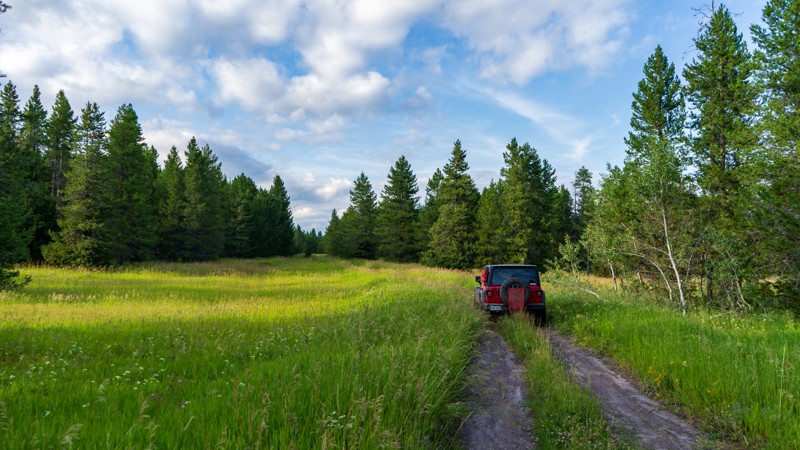
Updated: 10/15/2024
Stock
Sarilda, Idaho
Stock is an easy but likely muddy dirt road running from South Antelope Flat north to High Point. At just over a mile and a half, the trail crosses lush green meadows scattered among the pine trees. This trail stays mostly shaded, so the water sticks around slightly longer than more heavily used trails. Camping was marginal, but many incredible camping opportunities are found along South Antelope Flat.
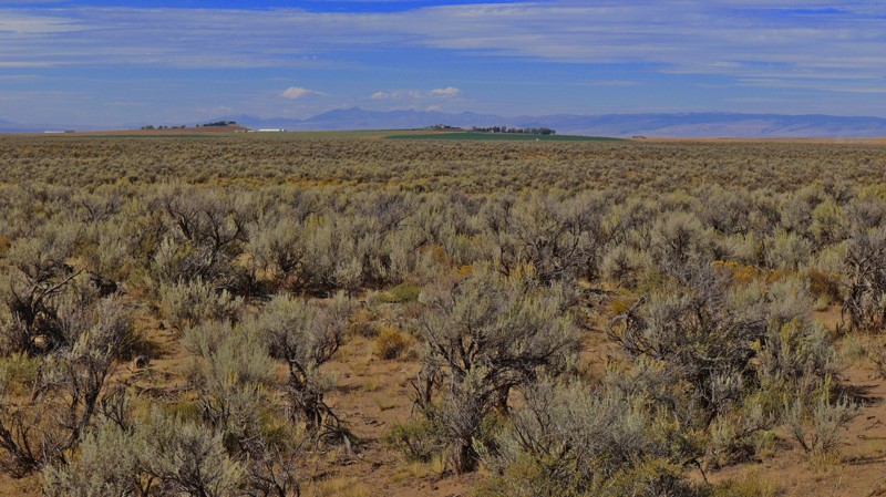
Updated: 12/31/2025
Hamer 3100 E
Hamer, Idaho
If you love a good desert landscape you may like this area. It's a nice easy drive through the desert starting at 3100 E at the north end or at Hamer Road to the south. To the north, you'll find county roads and farmland, with the southern area being on Bureau of Land Management land. You can camp along the southern portion of the trail but don't expect to find any good camping spots. It's also not unusual to see fire restrictions in this area due to how dry it gets. For more details on camping in BLM areas see their website.
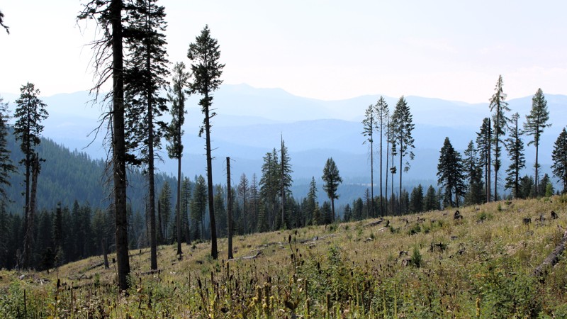
Updated: 09/11/2025
Mud Springs and Indian Trail Roads
Mud Springs, Idaho
The original Elk City Wagon Road left Newsom Creek Road and climbed up Smith Grade. Slides now block Smith Grade, so the modern Wagon Road route was moved a few miles down Newsom Creek Road to Mud Springs Road. After about three miles, Mud Springs Road reconnects with the original Wagon Road and becomes Indian Trail Road. It is all one road with no way to get off of it in that area. The road runs from Newsom Creek Road to Sweeney Hill Road, which becomes paved and runs down to Elk City, where limited supplies are available.
The road is mostly well-graveled, one to two lanes wide, and can be driven in any vehicle with reasonable ground clearance. It is heavily forested on both sides, limiting the expansive views so often found in this area. There are some minor washouts and potholes. The main hazard is blind curves.
There are no campgrounds along the road. Dispersed camping is allowed, but there are no established dispersed sites with existing fire rings. If needed, one could pull off onto a wide spot in the road or drive down one of the gated side roads to establish a quick camp.
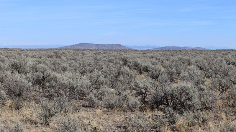
Updated: 06/10/2025
Southern Redwood Road
Sage Junction, Idaho
If you love a good desert landscape you may like this area, and you can also get a good distant view of the Menan Buttes along this road. It's a nice easy drive through the desert with some mild challenges along the way. This road used to go all the way through to Roberts, but since the creation of the Market Lake Wilderness area, the southern end of the road has been closed to motorized travel.
Being on BLM land, you can camp along this trail but don't expect to find any well-established camping spots. It's also not unusual to see fire restrictions in this area due to how dry it gets. For more details on camping on BLM see their website about camping.
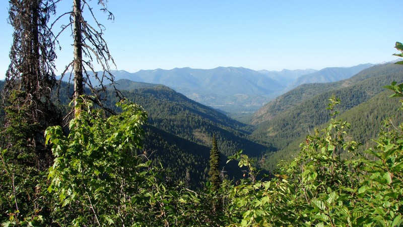
Updated: 08/11/2025
Johnson Divide Road
Granite, Idaho
Johnson Divide Road is a short gravel connector that runs from Johnson Creek Road, FS 278, into the interior of the Idaho Panhandle National Forest. It is relatively well-maintained and two lanes wide, making it accessible to all vehicle types.
Like many roads in the area, drivers should expect frequent small but deep potholes. Dust can also become an issue when encountering oncoming traffic, especially in dry conditions. Scenic views are mostly limited due to dense forest cover, though occasional breaks in the trees and wider clearings provide glimpses of the surrounding landscape.
Dispersed camping is permitted along the road, but the only established site is located at the southern end where Johnson Divide Road meets Upper Coeur d’Alene Road, FS 306.
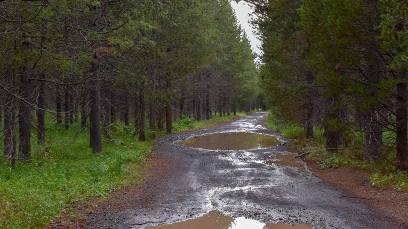
Updated: 10/15/2024
Meadow Creek Cutoff
Big Springs, Idaho
Running between Meadow Creek and Black Canyon, this easy connector trail has tall trees and a few sweeping turns. The area has abundant foliage, making it a good spot for picking mountain berries.
There are no campsites along this trail.
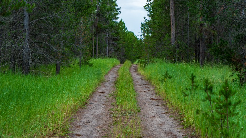
Updated: 10/15/2024
North Antelope Flat Spur 1
Island Park, Idaho
Spur 1 is a short trail just off of its namesake main trail, North Antelope Flat. It runs just under 2.5 miles with random bumps, ruts, and puddles, and ends at a small turnaround that could be used for camping. There is also one large campsite right near the trailhead if you have a bigger group. If there have been numerous storms in the past few days, the puddles could be quite long and slick.
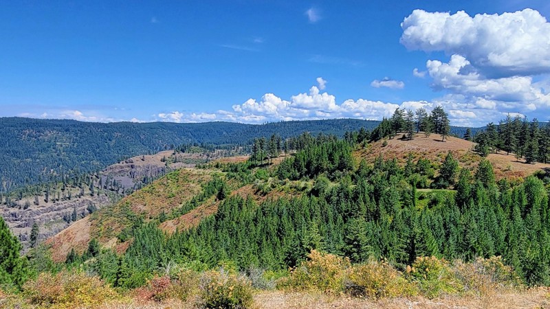
Updated: 09/04/2025
Free Use Road
Shells Lick, Idaho
Free Use Road (Forest Service Road 243) is a spectacular, point-to-point drive through the Nez Perce National Forest, supplying breathtaking views of Dairy Mountain and the surrounding Cold Spirings Mountains.
This double-wide gravel road is well-maintained, and suitable for any vehicle. It connects Highway 95 in the west and Grangeville-Salmon Road in the east, and is located just south of Grangeville. There are no developed campgrounds along this trail; however, there are some opportunities for dispersed camping off the main road in the eastern section of the trail.
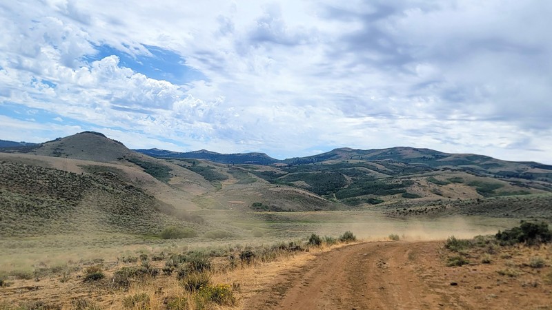
Updated: 11/07/2025
Whiskey Mountain Road
Reynolds, Idaho
Located under an hour southwest of Boise, Whiskey Hill Road is a short but scenic drive that offers some fantastic views of the surrounding rolling hills, which transition into the rugged Owyhee Mountains.
This dirt road has potholes and some rough patches, but overall, it’s an easy route, and any high-clearance vehicle can navigate it. There aren’t any campsites along the trail, but dispersed camping is available if you can find an offshoot, of which there are many, as this trail is part of an extensive trail network that leads to the historic mining town of Silver City.
The trail ends at a locked gate on private property at the southern end.
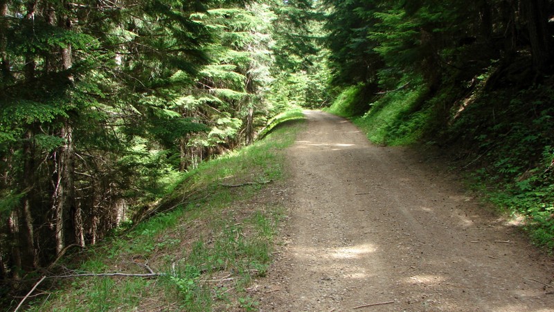
Updated: 08/11/2025
Cascade Picnic/Gurley Saddle
Rockaway Beach, Idaho
The Cascade Picnic/Gurley Saddle Road goes from FS 209 to FS 534. Starting on FS 209, the road is FS 610; at the FS 534 end, it is FS 379. The number changes at some point. It is a narrow, often-shelf, gravel-to-dirt road with numerous switchbacks as it climbs up and over the pass. There are at least two places on the side of the road where it has collapsed and been partially repaired; at this time, they are well-marked. Former users have mostly cleared many downed trees. Unfortunately, the people cutting the trees back provided barely enough room for a full-size rig to navigate the gaps. It can be done, but it's pretty tight in some places. Even so, it is not a difficult road to drive if proper care is taken.
Dispersed camping is allowed, and there are a few established sites, both up on the top ridge and on the more level areas at the beginning and end of the road. Going up and down from the ridge, the road is relatively narrow, and there isn't much room for a dispersed camp.
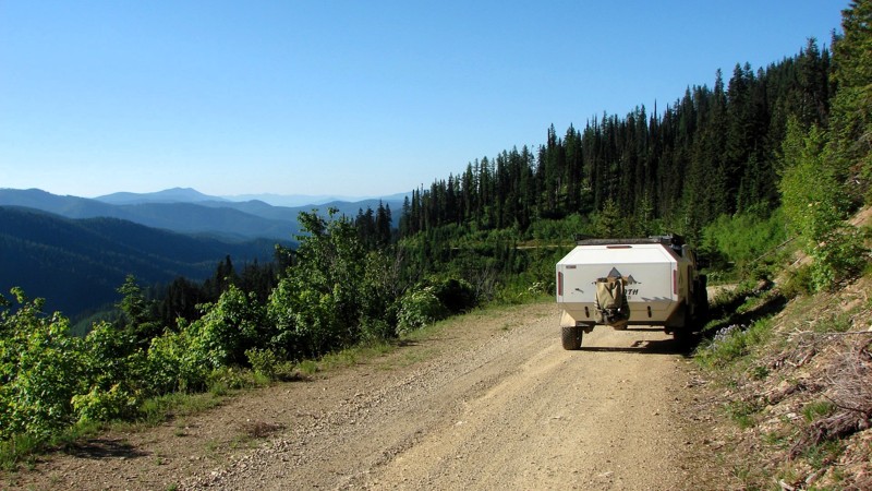
Updated: 08/11/2025
Upper Coeur d'Alene Road
Granite, Idaho
Upper Coeur d’Alene Road is a delightful, easy drive down from Johnson Divide Road (FS 1066) to Buckskin Road (FS 1533). The surface varies from a two-lane gravel road to a single-wide two-track, with weeds growing in the center. There are minor potholes, but nothing that would trouble any vehicle with moderate clearance. At the north end, the road gradually descends from the ridge, offering magnificent views of the surrounding forest and mountains. Down lower, the road follows a drainage, and the trees close in, but it is still a delightfully scenic drive along a winding road through the forest.
Dispersed camping is permitted, but options are limited. There is a nice site at the intersection with FS 1066, and there are a couple of nice sites down along the drainage. Unfortunately, there is a lot of moisture along the drainage, and mosquitoes are likely to be a problem.
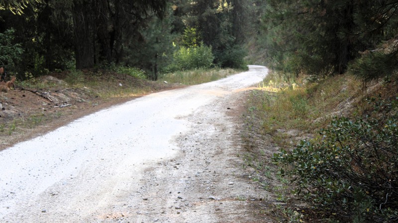
Updated: 09/24/2025
Cayuse Creek Road
Featherville, Idaho
Cayuse Creek Road starts at a gravel reclaimation site in Featherville and runs up through some private land and mining claims. Most of the road is well-maintained gravel, except for the upper section, after the creek crossing, at which point the road becomes a slightly rougher dirt road with small embedded rocks. Shortly after crossing the creek, the road comes to an end. Although it is a pleasant enough road to drive, it doesn't lead anywhere, and it holds nothing spectacular that would make it particularly worth taking.
There are no opportunities to camp along Cayuse Creek Road due to the private property.
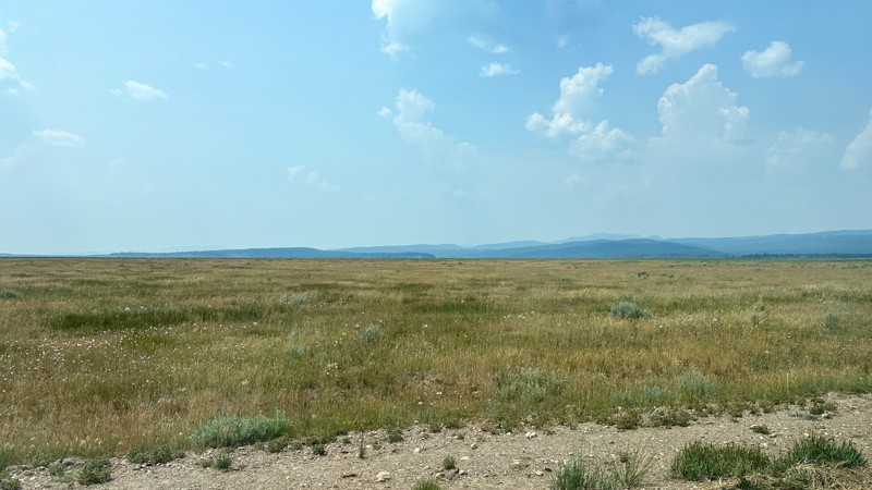
Updated: 10/15/2024
Willow Creek Cutoff Road
Rea, Idaho
Willow Creek Cutoff Road is a dirt road connecting Old Shotgun Road with Yale Kilgore Road. This route is significant to the area because it provides a route along the west side of the Island Park area to the towering Centennial Mountains. Along this road are open fields of livestock and Icehouse Creek Reservoir. Since the majority of the trail cuts across private land, no camping was observed.

Updated: 12/31/2025
Redwood to 3100 E
Hamer, Idaho
If you love a good desert landscape you may like this area. It's a nice easy drive through the desert with some mild challenges along the way. Being mostly on Bureau of Land Management land, you can camp along this trail; except in the northern area that transitions into farmland and county roads. There are a couple of clearings, that you could use as a camping sight, but don't expect to find any well-established spots. It's also not unusual to see fire restrictions in this area due to how dry it gets. For more details on camping on BLM land see their website.
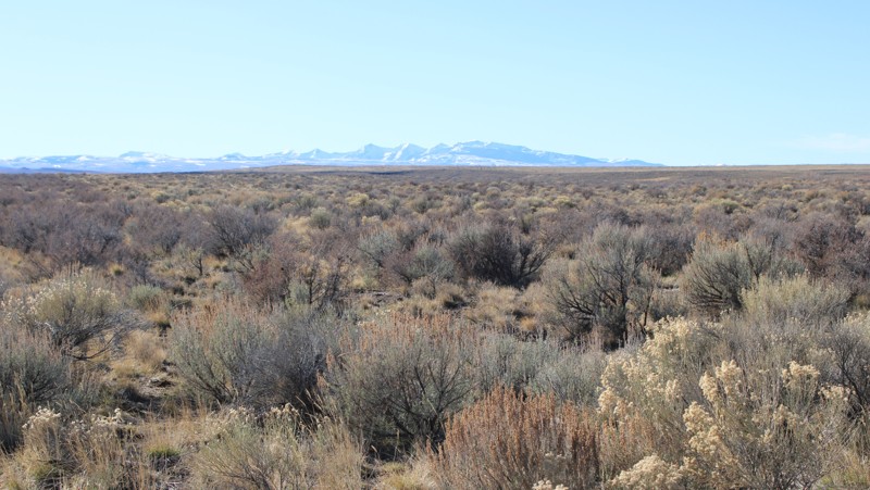
Updated: 01/05/2026
House Creek Road
Roseworth, Idaho
House Creek Road, also known as 17 Mile Road, is a major gravel road running from Three Creek Road in the south towards Roseworth in the north. Shortly before Roseworth, the road becomes paved and is not part of the Route. The road is very well maintained, with the primary hazard being driving imprudently fast for a gravel road. Although dispersed camping is allowed along the public sections of House Creek Road, there are no established dispersed sites. The nearest campgrounds are at Balanced Rock Park and Salmon Falls Dam.
This road travels through high-quality sagebrush steppe and offers nice views of distant mountains.
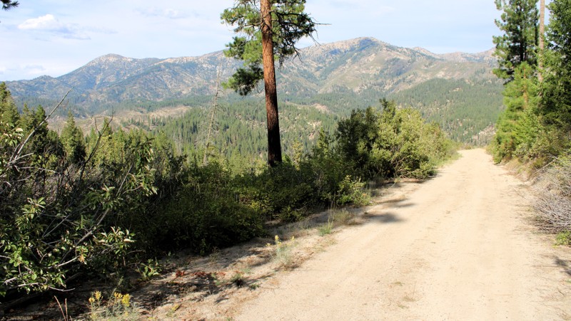
Updated: 09/24/2025
North Fork Lincoln Creek
Featherville, Idaho
North Fork Lincoln Creek Road is a delightful journey, offering a side loop off Rocky Bar Road. The scenery ranges from a wooded lane to vast, open views of the area's steep canyons and high ridges. The road is well-maintained and can be driven by any vehicle with reasonable ground clearance. There are a few patches of washboards and some relatively minor washouts.
Dispersed camping is permitted, and several nice, established sites with existing fire rings are available.
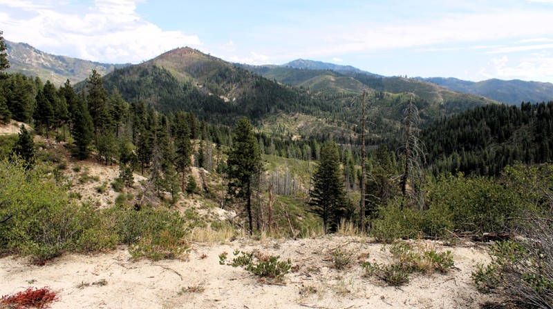
Updated: 09/24/2025
North Meadow Creek
Prairie, Idaho
North Meadow Creek Road goes from Burnt Creek Road to Meadow Creek Road, which can be taken into Prairie, where a restaurant with limited supplies is located. The road is generally one lane, with a mixture of gravel, native decayed granite, and dirt. Due to some steep climbs, loose surface, and moderate washouts, a Four Wheel Drive vehicle with reasonable ground clearance is recommended. Care must be taken when threading between the ends of downed trees that have been cut a bit too narrowly for comfort.
The panoramic views from North Meadow Creek Road are delightful! The terrain is steep with plenty of rocky outcrops, peaks, and deep valleys and draws. Some areas have been burned recently, which opens up the views into the distance. Dispersed camping is allowed, but there are only a few established sites with existing fire rings.
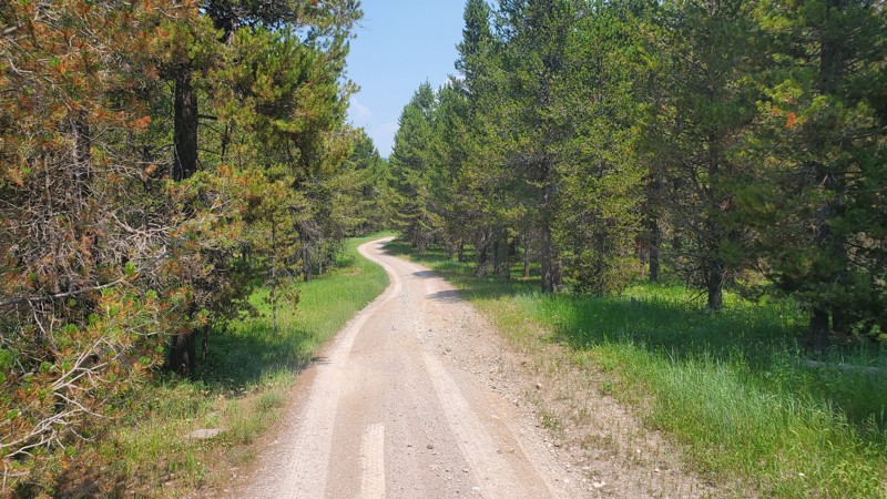
Updated: 10/15/2024
Lyle Springs Stock Driveway
Island Park, Idaho
FR170, Lyle Springs Stock Driveway, is a packed dirt road that connects Lyle Springs Road with Green Canyon Road. There are no obstacles along this trail, making it accessible by any high clearance vehicle. Several established dispersed campsites are along this route, with some large enough for trailers or multiple vehicles.
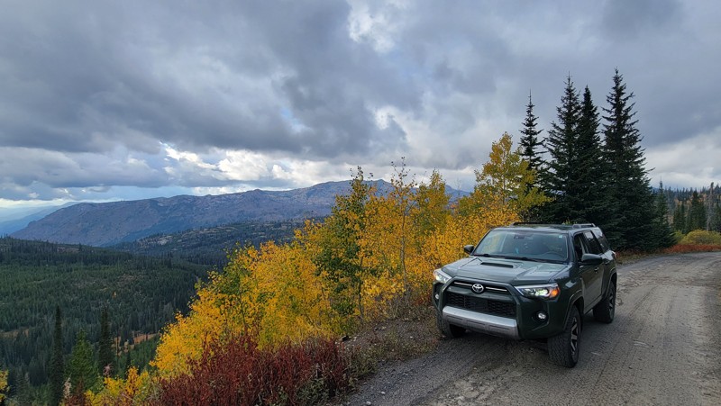
Updated: 11/20/2025
Elk Meadows Road
Pinehurst, Idaho
Elk Meadows Road (Forest Service Road 308) is a breathtaking drive through the Payette National Forest and the Grass Mountains, and around Lava Butte. There are some spectacular elevated views of the Hazard Lakes Basin. Please note, that maps will depict the roads going further than listed here, but they do not.
There are no developed campgrounds along this trail; however, there are suitable places for dispersed camping. This trail intersects with Goose Lake Road, which has a few developed campgrounds.
The road itself is rocky in parts, with numerous potholes, but any high-clearance vehicle can handle it. The spur on the north end is worth the trek and offers some great views. The trail ends in the north at a locked gate, but this trail is not to be missed!
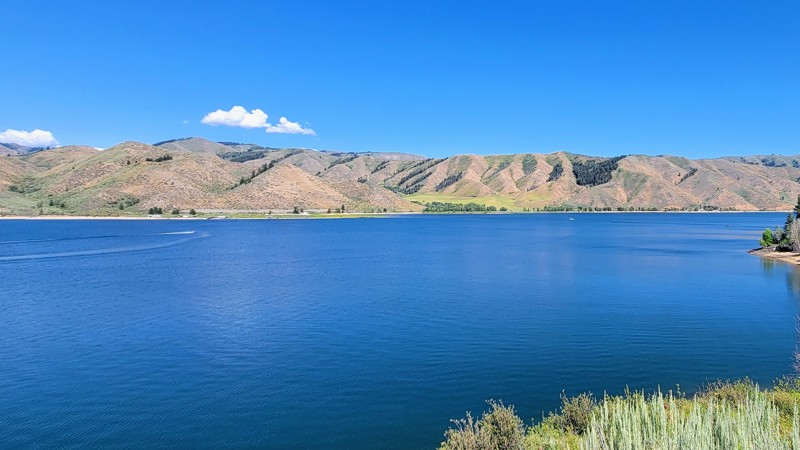
Updated: 09/22/2025
Sloans Gulch
Pine, Idaho
Sloans Gulch, also known as Lester Creek, is a short but remarkable drive through the Boise National Forest. It offers epic views of Anderson Ranch Reservoir and the nearby Trinity Mountains to the north.
On the west end of the trail is Ice Springs Campground, a developed campground with vaulted toilets, with each campsite equipped with its own picnic table and fire ring. The east end of the trail ends in the quaint town of Pine. There is also a campground located just south of Pine, near the lake, called Pine Campground, which has a boat ramp.
This is a well-maintained, wide two-lane dirt road open year-round and suitable for any vehicle.
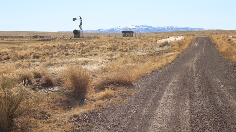
Updated: 01/05/2026
Grassy Hills Road
Roseworth, Idaho
Grassy Hills Road is an extension of Kinyon Road in the north and runs down to House Creek Road in the south. It is an easy drive on a one to two-lane gravel road suitable for any vehicle. There are a few sections of moderate washboards. Several side trails lead into the desert, ripe for further exploration in an appropriate vehicle. Although dispersed camping is allowed along the public sections of Grassy Hills Road, there are no established dispersed sites. The nearest campground is at Salmon Falls Dam.
As one travels south toward the mountains, the views become more scenic, especially when the sun glints off the snow. The road traverses a combination of sagebrush steppe and grasslands, each with its own unique scenic beauty.
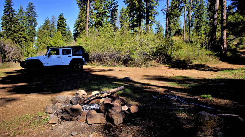
Updated: 07/06/2026
Sagehen Spur 626W
Gross, Idaho
Sagehen Spur 626W is a short out-and-back spur off of 626 that ends at a dispersed campsite. This trail is within Idaho's hunting unit 32A, where you will be sharing your space with deer, elk, black bears, mountain lions, and wolves, to name a few. This trail is one of many spurs along the main Sagehen Road and is best described as a dispersed camping paradise nestled among the pines, fir, and spruce. Shrubs and grasses dotted with wildflowers fill in the non-forested areas. It is a typical pine forest dirt trail that can get a bit muddy and slippery during rain or snowy weather, but the trail is relatively flat and should be manageable by most high clearance vehicles.
Sagehen Dam and Reservoir is just 2.7 miles to the east. The reservoir has four improved campgrounds; some are first come, first served, and others require a reservation. The lake is well known for its rainbow trout, so bring your fishing pole.
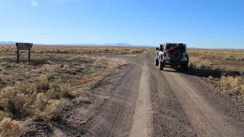
Updated: 01/05/2026
Kinyon Road
Castleford, Idaho
Kinyon Road is an easy one to two-lane gravel road through the desert of Southern Idaho and is suitable for any vehicle. It runs from Crows Nest Road near Balanced Rock Park in the north to Grassy Hills Road in the south. Continuing on Grassy Hills Road leads to Three Creek Highway with access to Salmon Falls Dam in the east and the Jarbidge, Nevada, area in the west. Numerous side trails lead into the desert, which are ripe for exploration in a more capable vehicle.
As one drives south on Kinyon Road, the distant mountains come into view and make for a scenic sight. Dispersed camping is allowed along the public sections of the road, but there are no established dispersed sites. The nearest campgrounds are at Balanced Rock Park and Salmon Falls Dam. The entire area is open range, and there may be cattle along the road.
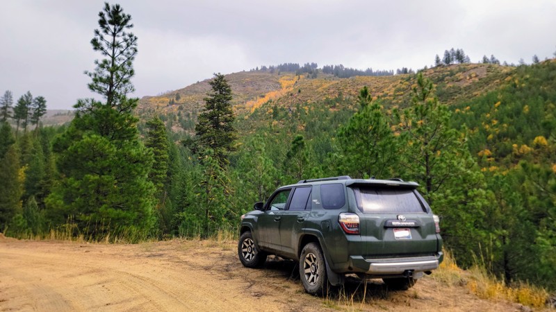
Updated: 11/07/2025
Elk Creek Road
Idaho City, Idaho
Just north of the historic mining town of Idaho City, Elk Creek Road offers one of the most scenic drives in the Boise National Forest. Winding through Forest King Gulch, pine forests, open ridgelines, and colorful creek valleys, the trail has a great blend of what Southwestern Idaho has to offer!
This single-lane dirt road has some extraordinary views of the surrounding Boise Mountain Range. It’s an easy trail; any high clearance vehicle can traverse it, with only a few rocky patches. And it makes a great loop with Elk Ridge Road coming back down south. There are no developed campgrounds along this route, but there are a few places for dispersed camping.
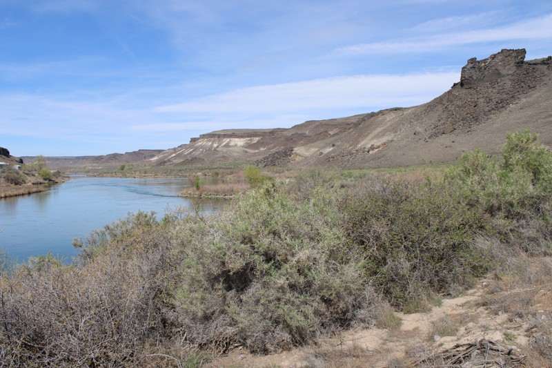
Updated: 05/20/2026
Big Bear Bar Road
Grand View, Idaho
Big Bear Bar Road is a delightfully scenic out-and-back drive along the Snake River near Grand View, Idaho. It is an easy drive suitable for any vehicle. The main hazard is dust, which can be blinding if following too closely or encountering oncoming traffic. About 3 miles from the eastern end of Big Bear Bar Road, you enter the Morley Nelson Birds of Prey National Conservation Area, where up to 800 nesting pairs of various raptors can be found. Look sharp, and you may see eagles, hawks, falcons, etc! At the west end of the designated route, the road is posted as private with no trespassing signs.
Dispersed camping is allowed, although there are no established sites right along the road. There are, however, multiple small side roads and trails where one could choose a place to camp. Parts of the road go through private property, which must be respected.
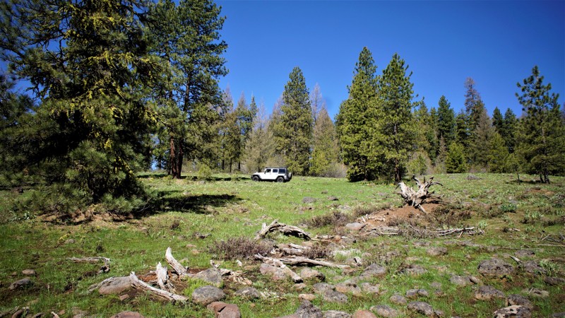
Updated: 09/29/2025
Sagehen Spur 626V
Gross, Idaho
This trail is in the Boise National Forest, two hours north of Boise, Idaho. Sagehen Dam and Reservoir is just 2.3 miles to the east. The reservoir has four improved campgrounds; some are first come, first served, and others require a reservation. The lake is well known for its rainbow trout, so bring a fishing pole! The trail and entire area are in Idaho's hunting unit 32A, where you will be sharing your space with deer, elk, black bear, mountain lions, and wolves, to name a few. This trail is one of many spurs along the main Sagehen Road and is best described as a dispersed camping paradise nestled among the pines, fir, and spruce. Shrubs and grasses dotted with wildflowers fill in the non-forested areas.
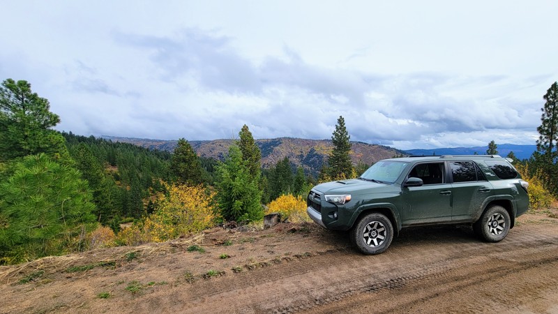
Updated: 11/07/2025
Elk Ridge
Star Ranch, Idaho
Nestled in the hills north of the old historic mining town of Idaho City, Elk Ridge Road is an awe-inspiring drive through the Boise National Forest. The trees give way to open ridgelines offering stunning panoramic views of the Boise Mountains.
This windy single-lane road with an exposed cliffside is rated as easy; there are a few rocky areas, but any high-clearance vehicle can handle this drive with ease. There are no developed campgrounds along the trail, but there are a few opportunities for dispersed camping on one of the many spurs. As this trail is part of an extensive trail system, it makes a great loop with Elk Creek.
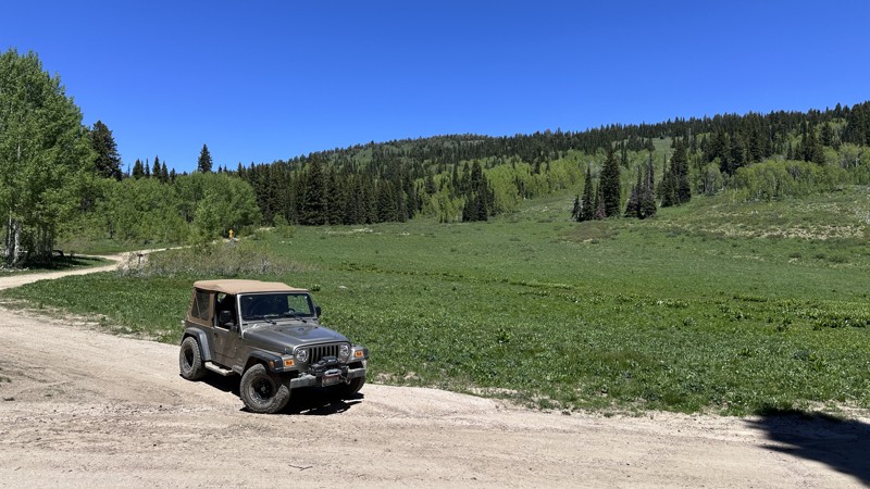
Updated: 06/18/2026
Eight Mile Creek Road
Bench, Idaho
Eight Mile Creek Road is a scenic mountain valley trail near Soda Springs, Idaho, offering nearly 10 miles of backcountry exploration. The route follows Eight Mile Creek for much of the drive, with the stream adding both beauty and character to the trail. Early portions of the route include several good dispersed camping opportunities, making this a great option for setting up camp and spending the day exploring nearby roads and trails. Eight Mile Creek Road also connects to several other trails making it a great access point for adventure in the Caribou National Forest.
The trail is suitable for stock 4x4 vehicles in dry conditions, though drivers should expect a moderate experience. In places, the creek has eroded portions of the road, creating narrow and uneven sections that require careful tire placement. The most notable challenge is a steeper rocky climb that adds some fun without making the trail overly difficult. Eight Mile Creek Road is less of a destination route and more of an enjoyable mountain trail to drive, camp, and ride while taking in the tranquil scenery of southeast Idaho.
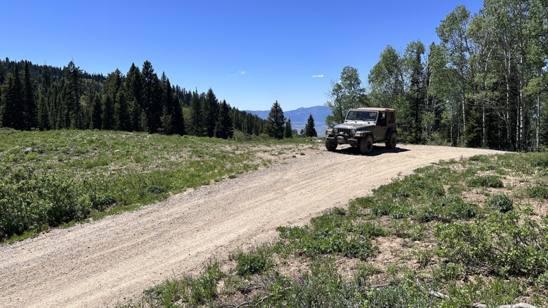
Updated: 06/18/2026
Eight Mile Road
Soda Springs, Idaho
Eight Mile Road is an easy, scenic route near Soda Springs, Idaho, offering excellent access to the Caribou National Forest. Stretching just over 15 miles, the trail travels through a mix of open valleys, forested hillsides, and mountain terrain, with Eight Mile Creek paralleling portions of the route. As the road climbs in elevation, visitors are treated to expansive mountain views and access to beautiful mountain meadows.
Suitable for nearly any vehicle in favorable conditions, Eight Mile Road is primarily a graded forest road with occasional embedded rocks and rough sections that can make for a bumpy ride. Dispersed camping opportunities can be found along the lower portions of the route, making it a convenient basecamp for exploring the surrounding area. The historic Eight Mile Guard Station, located near the boundary of the National Forest, can also be rented for those seeking a unique overnight experience. While the trail itself is relatively easy, its true value lies in the scenery, camping opportunities, and connections to numerous other roads and trails that provide access to a much larger portion of the Caribou National Forest.
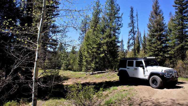
Updated: 09/29/2025
Sagehen Spur 626CA
Smiths Ferry, Idaho
Sagehen Spur 626Ca is in the beautiful and diverse Boise National Forest. It is less than 2 hours north of Boise, where you can find hundreds of miles of offroad trails to explore while taking your pick of dispersed and improved camping sites throughout the area. You will find beautiful meadows and creeks among the cedar, pine, fir, and other indigenous growth common to the area. Always be watchful of the animals that call this area home, including mule deer, elk, black bear, and wolf. Also, be aware that this is a popular hunting area where you will share the trails and campsites with those individuals who enjoy hunting.
Camping is allowed throughout the Boise National Forest unless otherwise posted, where you can stay up to 14 days without a fee. Be sure to have any required fire permits. After 14 days you must relocate to a different site at least 5 miles away. There are 4 beautiful improved sites, 8 miles to the west, at Sagehen Reservoir. No predisturbed campsites are found directly along this trail.
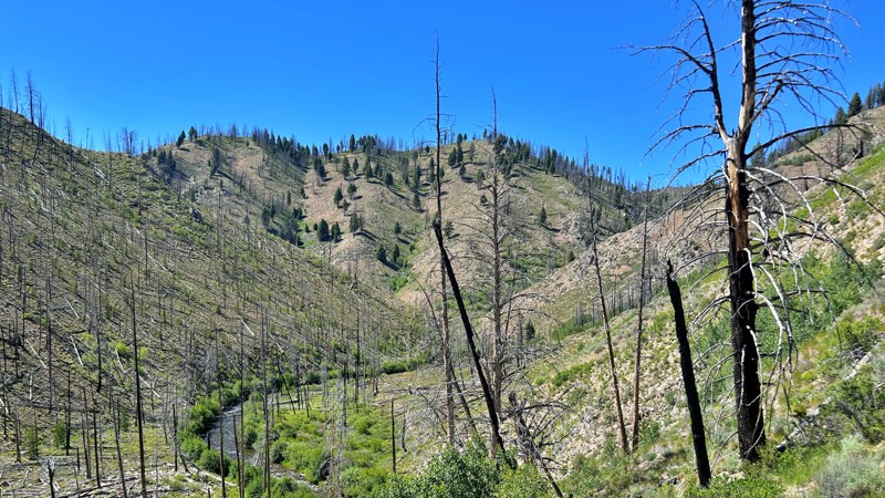
Updated: 07/16/2026
Basin Creek
Sunbeam, Idaho
Basin Creek offers a peaceful escape into the quieter side of Idaho's Sawtooth region. Easily reached from Highway 75, this scenic mountain valley follows the crystal-clear waters of Basin Creek through a landscape shaped by both wildfire and renewal. Fire-scarred hillsides are gradually giving way to young pines, aspens, and vibrant wildflowers, creating a beautiful contrast of resilience and recovery. The route begins as an unmaintained dirt road and gradually climbs through the valley, featuring a few narrow shelf road sections and occasional rocky stretches beyond the main campground. Along the way, you'll find peaceful creekside campsites, picnic areas, and access to Basin Creek Hot Springs, making it an ideal destination for camping, fishing, hiking, or simply enjoying the solitude of Idaho's rugged backcountry.

Upgrade your Membership
Unlock all of the details on every Trail Guide and Scout Route.
Start a 7-day Free TrialCommunity
Partners