Lost Trail (23.66 miles away)
Melba, Idaho


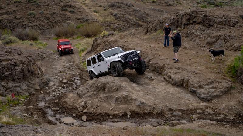
The C900 trail system in the Owyhee Desert follows the northwest side of Castle Creek Canyon. C900 ends at an open pit gravel/sand mine. Numerous spur trails go to the canyon rim with spectacular views. The vertical walled canyon and its many branches are cut through layers of basalt. Castle Creek can be heard at the bottom of the canyon, but it can't be seen unless one is willing to brave the precipice. The main canyon is deep and narrow, often deeper than it is wide.
Dispersed camping is allowed in the area, and several smaller trails end right above the canyon in acceptable camping areas. Also, sites along the main trail can be used for dispersed camping.
The trails alternate between smooth dirt and gnarly rocky stretches. Because the rocks are numerous and sharp, good tires and ground clearance are necessary. While not technical, 4WD is recommended for these trails.
Owyhee County in Southwest Idaho has over 5000 square miles of desert, canyons, and mountains. There are no services in the entire area, and cell coverage is spotty. Being adequately prepared for almost any contingency is a must. Because there are multitudes of crisscross trails, many of which look similar, a good navigation system and a backup system are needed, and the knowledge to use them is necessary.