
Nip and Tuck Road (61.87 miles away)
Stanley, Idaho
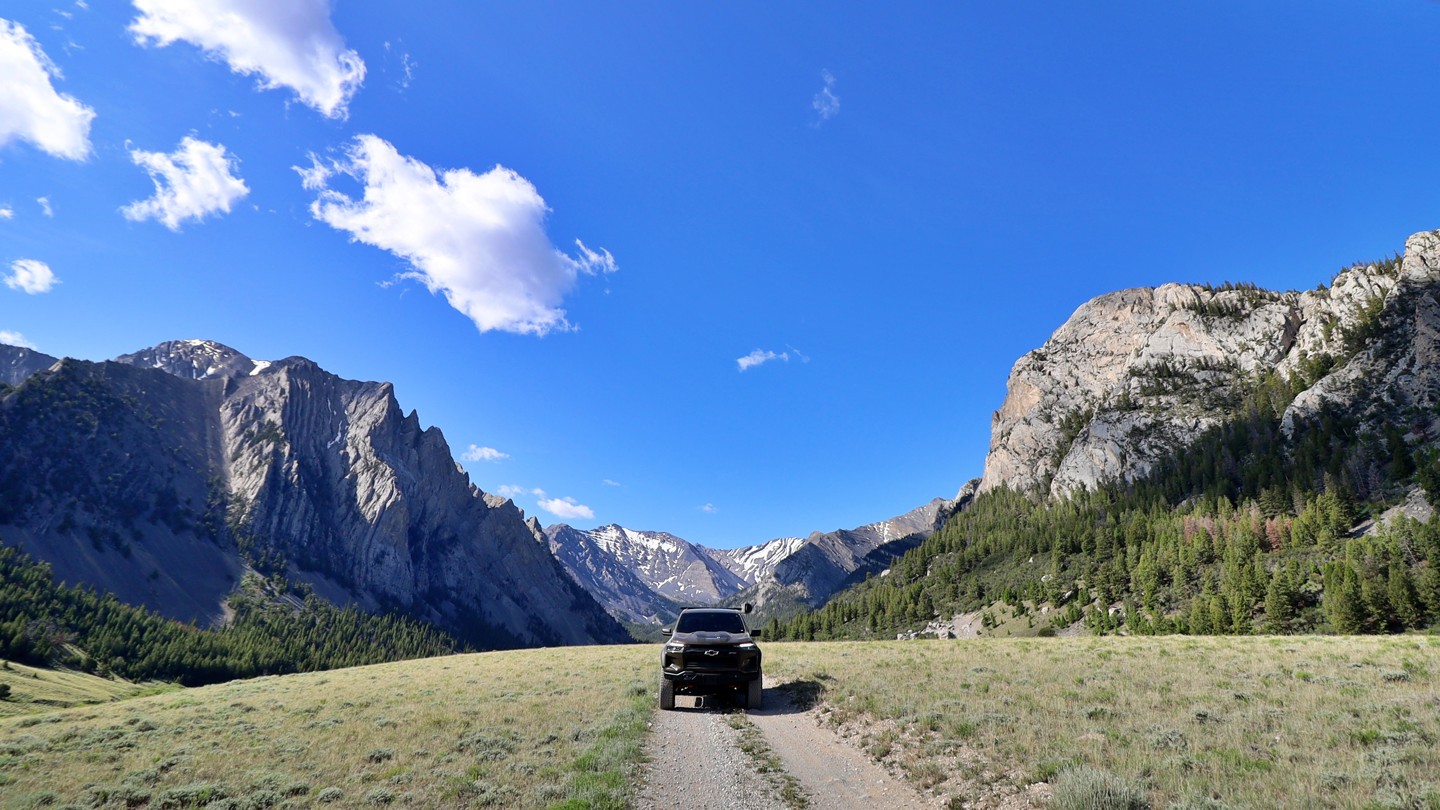

Winding through the eastern slopes of Idaho’s towering Lost River Range, the Upper Pahsimeroi Road is a remote and breathtaking backcountry route often dubbed the "Swiss Alps of Idaho." This slow-going, rocky dirt road isn’t technical but does require a high-clearance vehicle. Drivers can expect occasional potholes, stream crossings, and small football-sized exposed rocks.
As you travel this lightly trafficked corridor, you’ll be surrounded by expansive alpine meadows, spruce-filled forests, and the looming presence of Idaho’s tallest peaks, such as Mount Borah, Leatherman, Church, and Breitenbach, all soaring beyond 12,000 feet. Numerous trailheads branch off the main route, offering direct access into the wilderness and to summit routes coveted by hikers and mountaineers alike.
The road is best accessed in summer or early fall, either from Pass Creek route or Horse Heaven Pass via Doublesprings. Dispersed camping opportunities are plentiful, along the East Fork Pahsimeroi River, beneath ridgelines, or tucked in beside dense forest stands. Trailers are not recommended unless they have a good suspension setup.
Wild, scenic, and serene, the Upper Pahsimeroi Road is your gateway to Idaho’s high alpine heart.