



By clicking "ACCEPT", you agree to be the terms and conditions of each policy linked to above. You also agree to the storing of cookies on your device to facilitate the operation and functionality of our site, enhance and customize your user experience, and to analyze how our site is used.
Nevada Off-Road Trails
93
Total Trail Guides 87

987
Detailed Waypoints 129
Try a Free 7-Day Trial and unlock it all
Start a Free Trial Most Recent Trail Reviews
Rated 3/5
Open
Visited: 09/15/2026
Unfortunately Kodachrome Road appears to have been recently graded. The fins have more or less been obliterated, leaving mostly a crush box. The deeper rutted section of the wash on the Vegas site has...

H
HotRatShit
Rated 1/5
Open
Visited: 09/12/2026
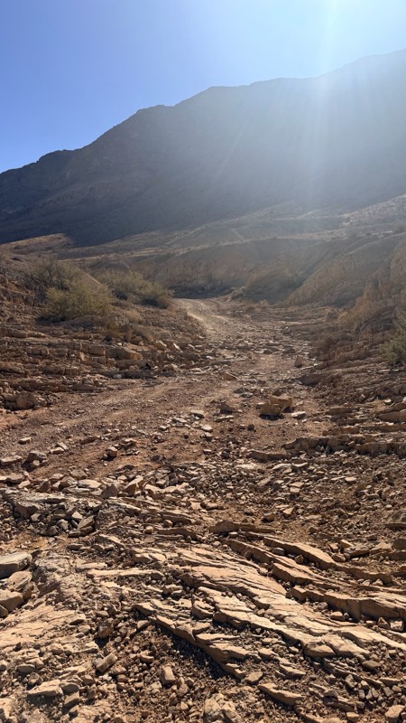
The rock fins are no longer there.. I’m not sure if they were washed out or were removed by someone. If the landmark wasn’t marked on the map I’d never actually know there were rock fins. I ran the wh...
Mario
Rated 5/5
Open
Visited: 09/11/2026
awesome place to camp and for a day trip . the trail is smooth. but gets busy on the weekends.

Dex Offroad
Rated 5/5
Open
Visited: 09/06/2026
Very quiet scenic drive with lots of off shoot trails to forested areas for dispersed camping. Many other trails in the area to connect with including the Silver State Trail.
KB
Kevin Bigley
Rated 4/5
Open
Visited: 09/06/2026
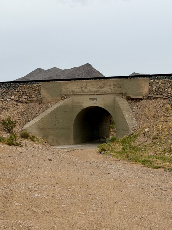
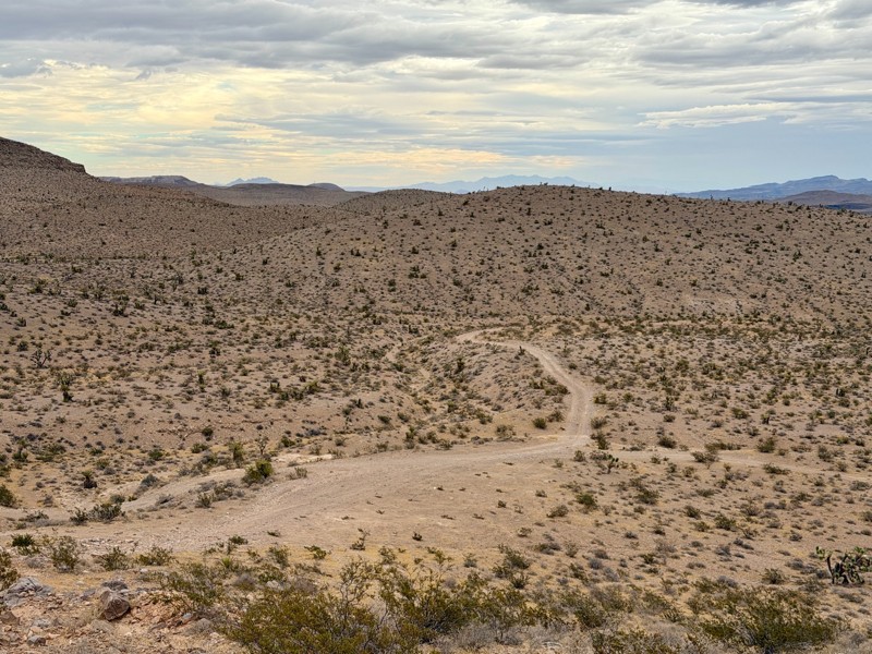
Railroad Canyon is a short rock crawling trail that is super close to Las Vegas. Easy trail acceess is made off the south end of Las Vegas Blvd. Begin by heading under the interstate overpass and th...

Bill
Rated 5/5
Open
Visited: 09/04/2026
Just as described. Ran it West to East. Camped at the campground. Stars were amazing. Saw no one entire time.
KB
Kevin Bigley
Rated 2/5
Open
Visited: 08/27/2026
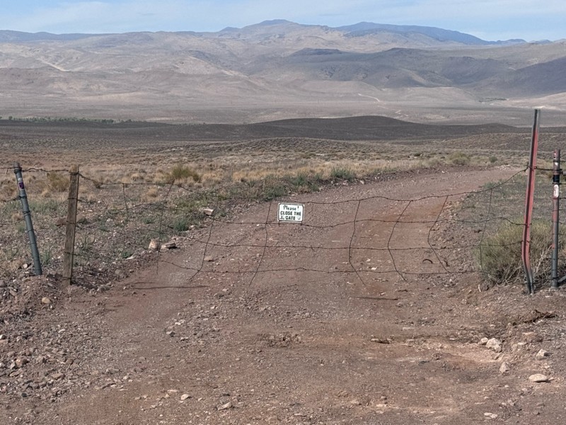
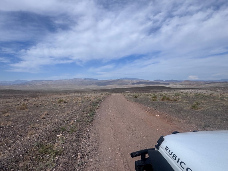
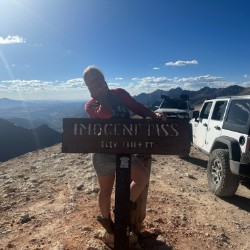
For the most part, this road is not graded. There were some sandy spots and water obstacles ( some avoidable and others not).
The last 1/3 of the trail that ends at Wild Horse Trail was pretty rough ...
Kim Soucek
Official Crew
No Rating
Open
Visited: 08/27/2026
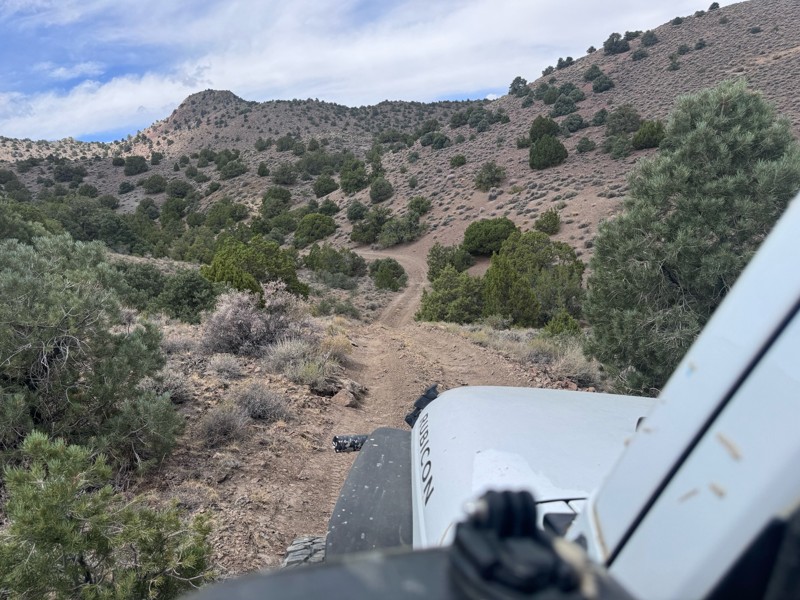
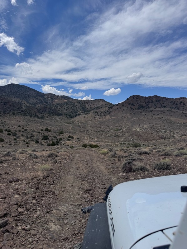
This trail is so fun! Twisty turns and steep drops and climbs- with beautiful rugged back country scenery the whole way.
On the Dayton side descent, I was rewarded with majestic views of the mountai...
Kim Soucek
Official Crew
No Rating
Open
Visited: 08/20/2026
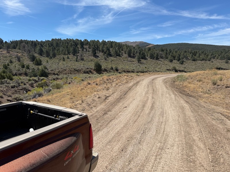
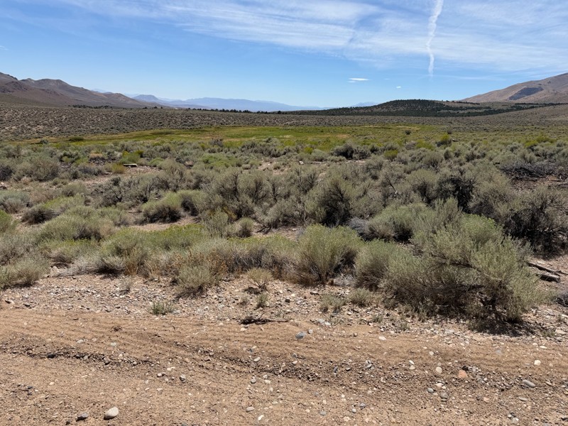
I’m new to this and don’t know what folks consider graded but to me this is not a graded road. Maybe it’s my truck but this route today was about 1/4 smooth and the rest was moderately very bumpy. Lot...
DD
Darius Davenport
No Rating
Open
Visited: 08/19/2026
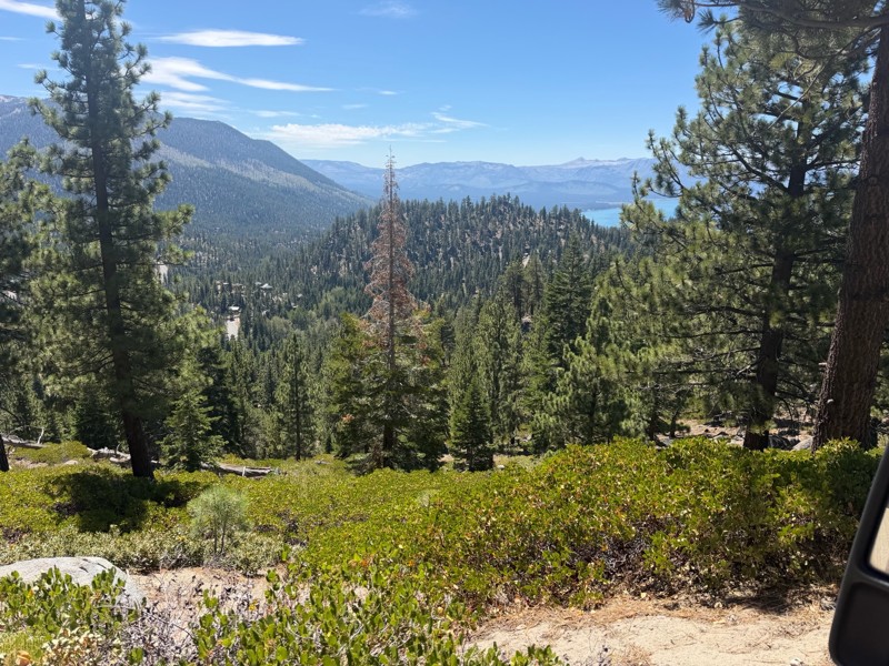
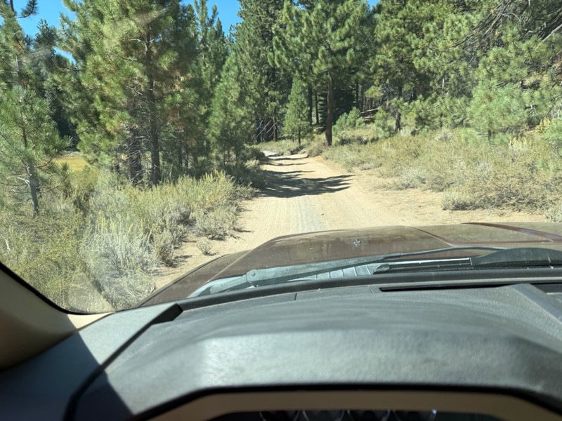
I rode Genoa Peak road from SR 50 to Logan Loop which brings you back to Genoa Peak and then south until Kings Berry Grade. I’m a very experienced driver but new to off roading. I actually wouldn’t ca...
DD
Darius Davenport
No Rating
Open
Visited: 08/11/2026
Per the MVUM, the trail is seasonally open. As always, check current fire restrictions/closures before venturing out.

Trails Offroad
Official Crew
Rated 3/5
Open
Visited: 08/10/2026
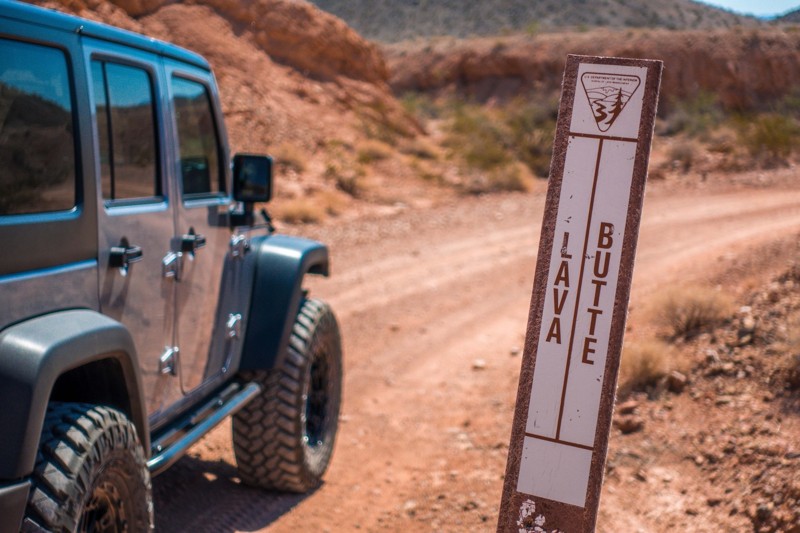
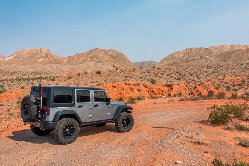
This is a quick and easy trail that is close to town. The trail is well groomed and accessible for beginners or stock rigs. Open desert landscape with volcanic rock all around here. Take the trail...
Bill
Rated 4/5
Open
Visited: 07/29/2026
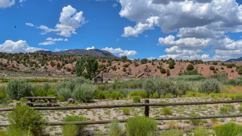
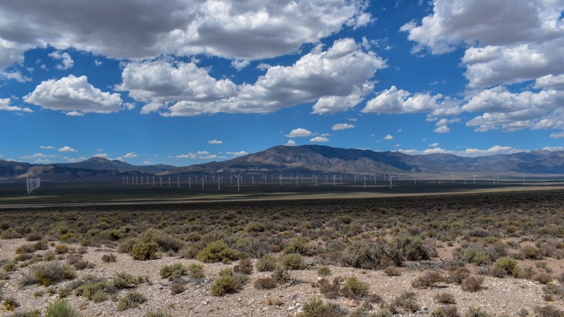
Something has always drawn me to this area. I’ve been coming out here for nearly 15 years prospecting and mining. The pond at Sacramento Pass is stocked, and I’ve had a decent dinner from what I caugh...

Cory Wooldridge
Official Crew
Rated 4/5
Open
Visited: 07/29/2026
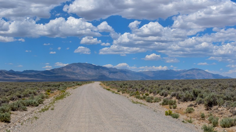
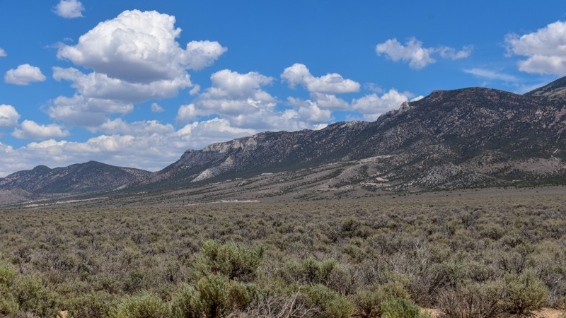
This trail gets 4 stars, not for the trail itself but for the access it provides. We have camped up Willard Creek Rd many times over the years. The lower site along the creek currently doesn’t have mu...
Cory Wooldridge
Official Crew
Rated 3/5
Open
Visited: 07/29/2026
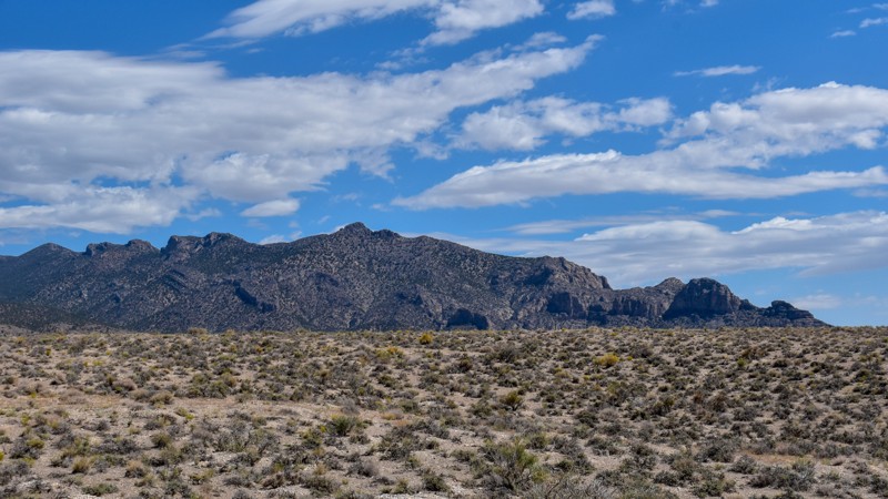
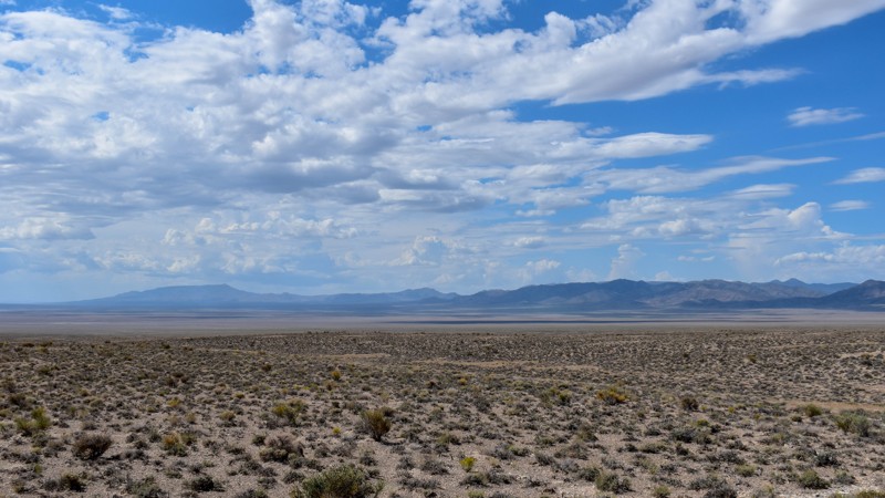
We love exploring old mines and ghost towns, even if only from the road. The west side of the Snake Range is rich in mining history, with silver and tungsten at the extremities and gold at the heart i...
Cory Wooldridge
Official Crew
Rated 3/5
Open
Visited: 07/29/2026
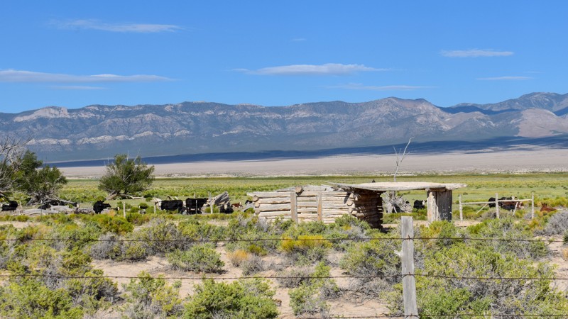
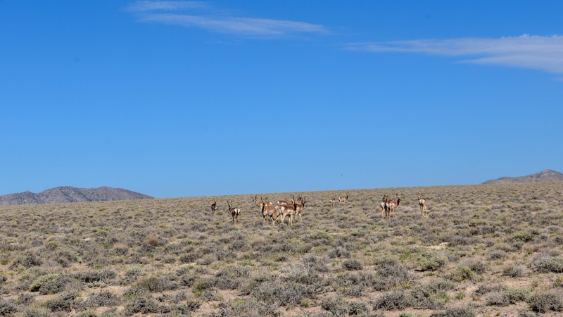
The old cabin and well way out in the middle of the valley were a neat surprise. There was a herd of antelope that was happy to stare back at us as we stopped to take pictures. The high-water line and...
Cory Wooldridge
Official Crew
Rated 3/5
Open
Visited: 07/28/2026
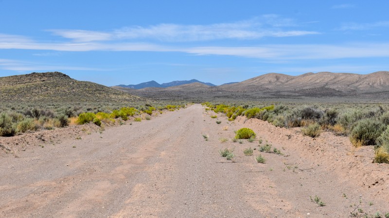
I love how smooth some of these roads are, the lack of trash, ruts, potholes, etc, make so many of these roads out here that much more enjoyable. Not much to see along this trail, but the distant view...
Cory Wooldridge
Official Crew
Rated 4/5
Open
Visited: 07/27/2026
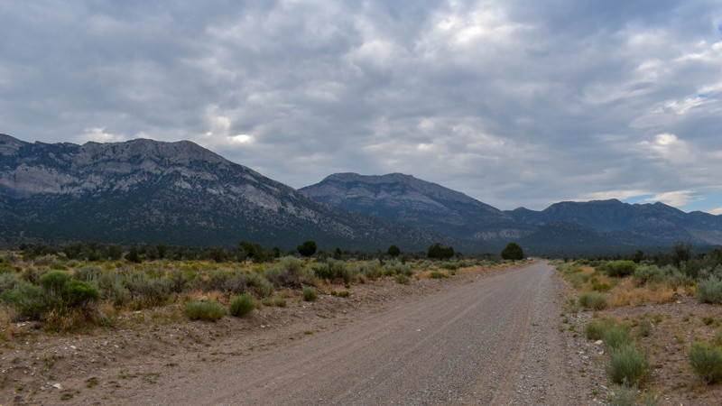
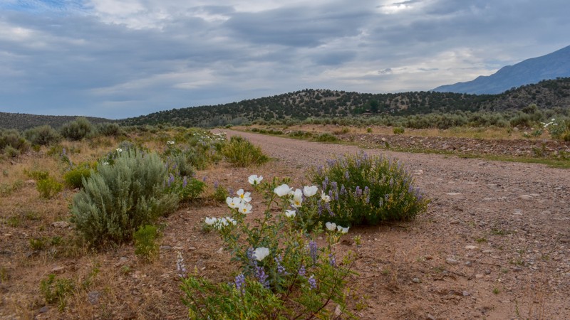
This is a gem of a dirt road. The entire network of trails south of Ely has been a fun week to explore, and North Cave Valley Road delivered an easy stretch of dirt that carried us for miles through o...
Cory Wooldridge
Official Crew
Rated 4/5
Open
Visited: 07/27/2026
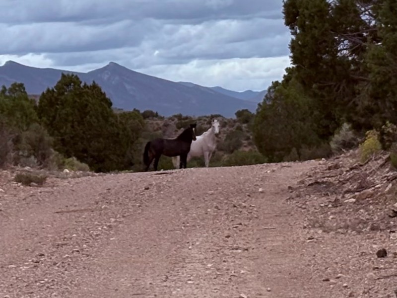
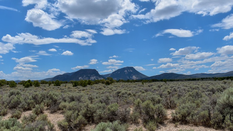
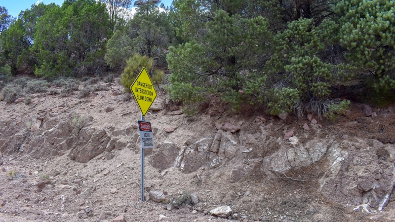
I love the way the clouds cast shadows, dotting the valley flow and framing the mountain ranges in different perspectives as time passes. The jagged mountains were neat, the horses were active as we m...
Cory Wooldridge
Official Crew
Rated 3/5
Open
Visited: 07/27/2026
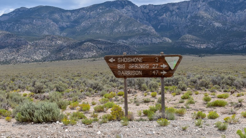
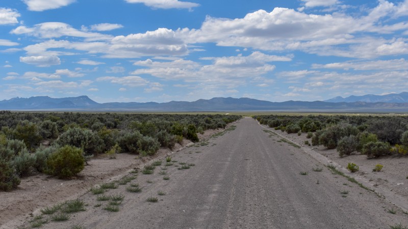
Its a beautiful, open trail with picture perfect tall sagebrush and the east and west ends, with small sage in the low lying valley named Baking Powder Flat. There were some quarry work areas which ma...
Cory Wooldridge
Official Crew
No Rating
Open
Visited: 07/26/2026
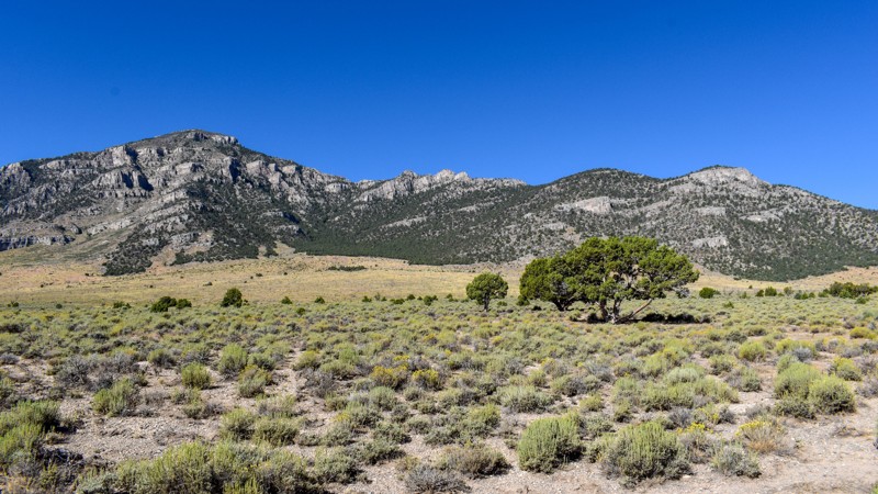
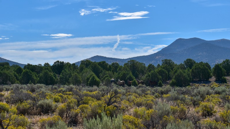
This trail is between a 4 and 5 star for me. I love the changing scenery and juniper tress. Seemingly endless valleys with mountains bordering the trail, groups of wild horses, easy dirt road. One win...
Cory Wooldridge
Official Crew
Rated 4/5
Open
Visited: 07/26/2026
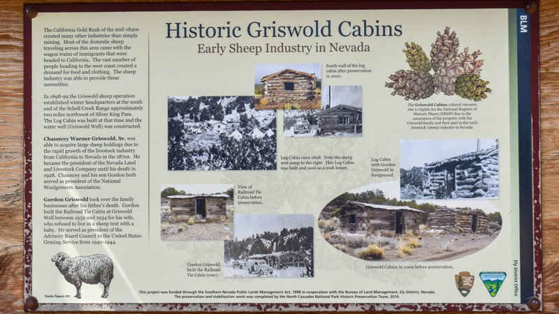
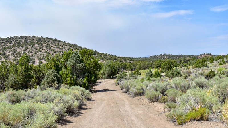
The history along this trail was a pleasant surprise. The scenery was nice, a couple of old small ruins barely visible through the sage to the west of the road, and a larger stacked wall to the west n...
Cory Wooldridge
Official Crew
Rated 3/5
Open
Visited: 07/26/2026
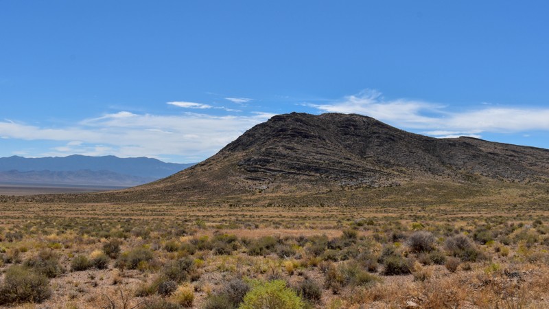
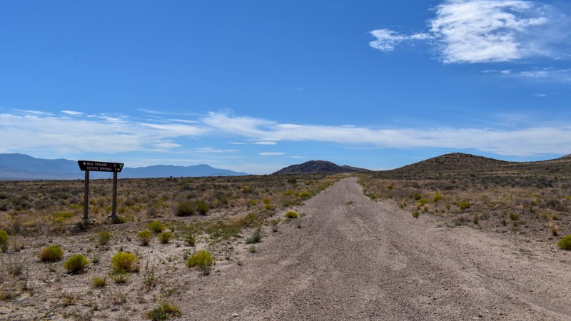
Another connector trail with gorgeous views and Coyote Spring or Stonewall Spring depending on your map at the south end. It's nice and green at the spring, but fenced and private property. Not much t...
Cory Wooldridge
Official Crew
Rated 3/5
Open
Visited: 07/26/2026
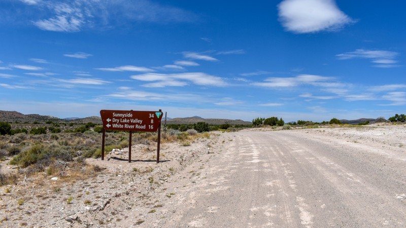
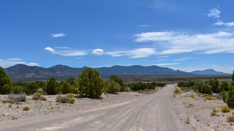
We camped in Spring Valley between Pioche and Ely for a week and went to the hot springs a couple of times taking different paths each time, this was by far the quickest and easiest way across. The vi...
Cory Wooldridge
Official Crew
Rated 3/5
Open
Visited: 07/26/2026
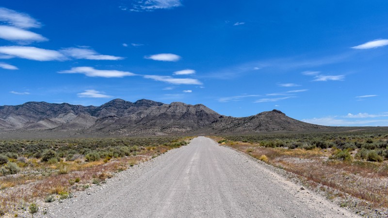
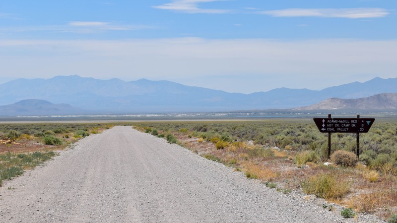
We've passed by this road when coming up from the south to go to Hot Creek and used the main entrance further north several times not knowing this was here. Coming up from the south this cuts off a li...
Cory Wooldridge
Official Crew
Rated 3/5
Open
Visited: 07/24/2026
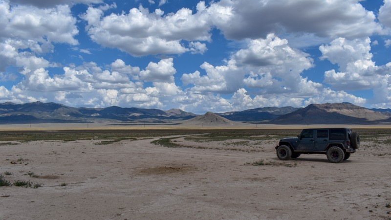
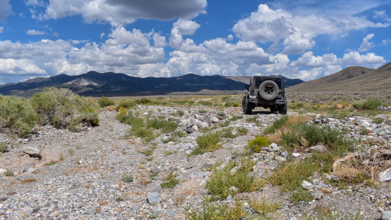
The maps imply this was once a decent road, either end of it still are, but the middle is not. There are sections where any trace of the road has been washed away into rocky gravel stream beds, with p...
Cory Wooldridge
Official Crew
Rated 5/5
Open
Visited: 07/24/2026
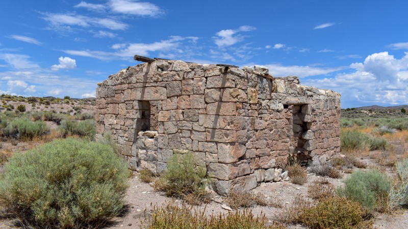
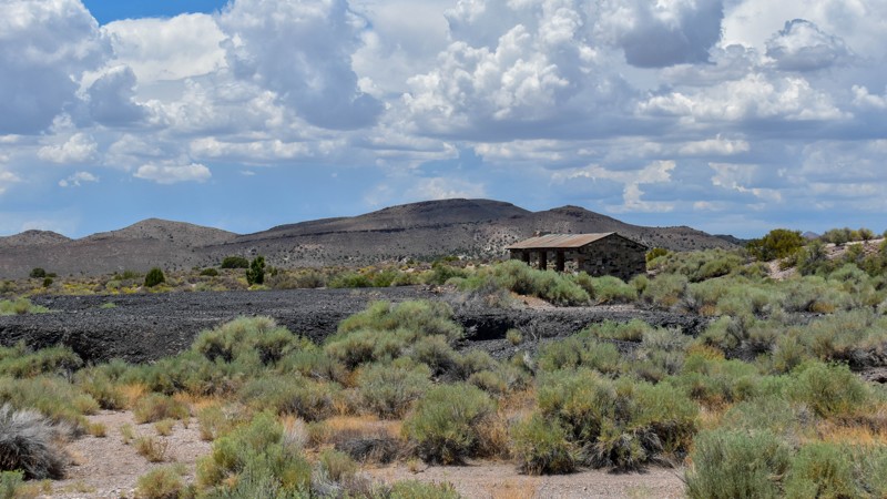
The maps of this area are very confusing and contradictory. Researching this trail, the trail name should have reached the old ghost town site, which at the time of mapping I thought was only a local ...
Cory Wooldridge
Official Crew
Rated 2/5
Open
Visited: 07/24/2026
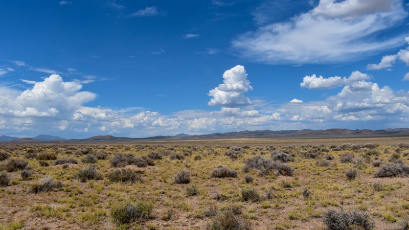
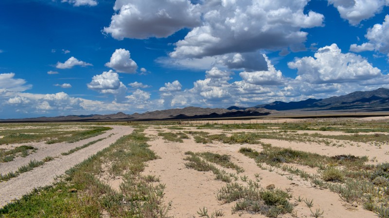
Forget the photos in the first review, pics here, notes there.
Cory Wooldridge
Official Crew
Rated 2/5
Open
Visited: 07/24/2026
This trail does offer expansive views, although not as exciting as others. There was a herd of antelope at Bullfrog Reservoir, which to us desert dwellers is called a tank, an earth berm with what I a...
Cory Wooldridge
Official Crew
Rated 3/5
Open
Visited: 07/24/2026
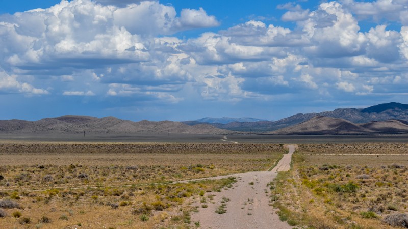
We got spoiled with the more northern mountainous trails, this one is a good connector during the dry months to get somewhere else in Cave Valley. The charcoal ovens though, are absolutely worth the t...
Cory Wooldridge
Official Crew
Rated 3/5
Open
Visited: 07/24/2026
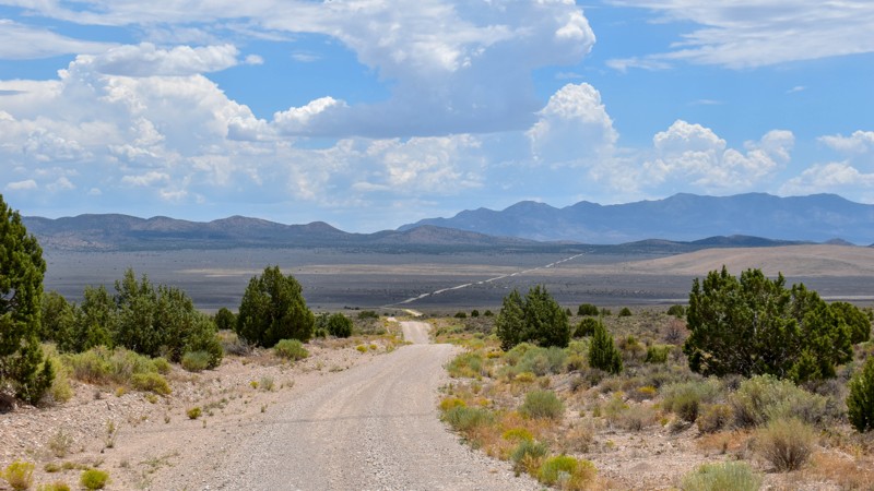
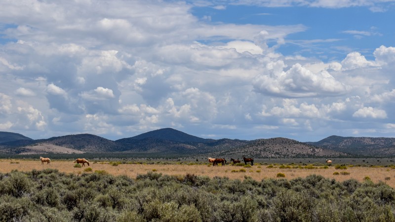
The wild horses and the old smelter slag, cabins, and charcoal ovens in the distance were the trail highlights for us. I prefer the trails further north for the scenery and vegetation, but the wild ho...
Cory Wooldridge
Official Crew
Rated 4/5
Open
Visited: 07/24/2026
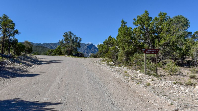
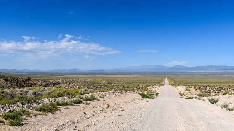
We took Patterson Pass Rd to Shingle Shortcut and onto Shingle pass to get to the Hot Spring Creek across the 318 near Dave Deacon campground. The ride was easy going, enjoyable and pretty. Several bl...
Cory Wooldridge
Official Crew
Rated 3/5
Open
Visited: 07/24/2026
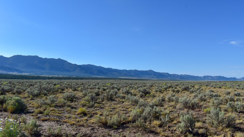
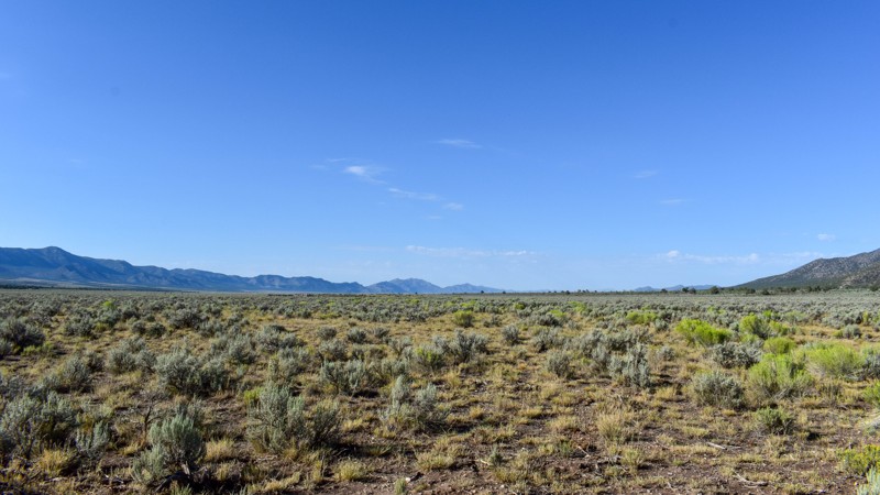
Compared to the surrounding trails, I gave this a 3 star rating. It is still a pretty trail. I do not like mud, and the low lying areas are that type of slick silty mud that could easily cause issues....
Cory Wooldridge
Official Crew
Rated 5/5
Open
Visited: 07/23/2026
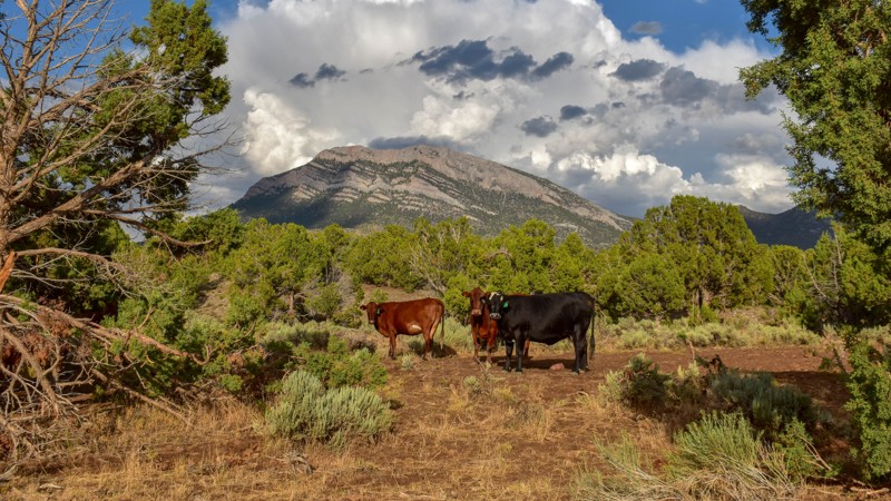
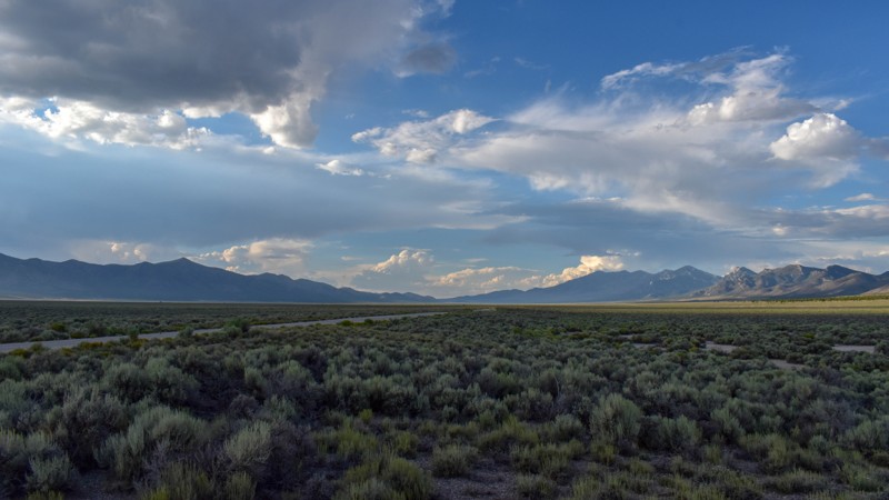
This trail was gorgeous. I like the scenery and the feel of the higher country trails in the northern area of Cave Valley more so than the southern. All in all, I haven't found any flat out boring roa...
Cory Wooldridge
Official Crew
Rated 4/5
Open
Visited: 07/23/2026
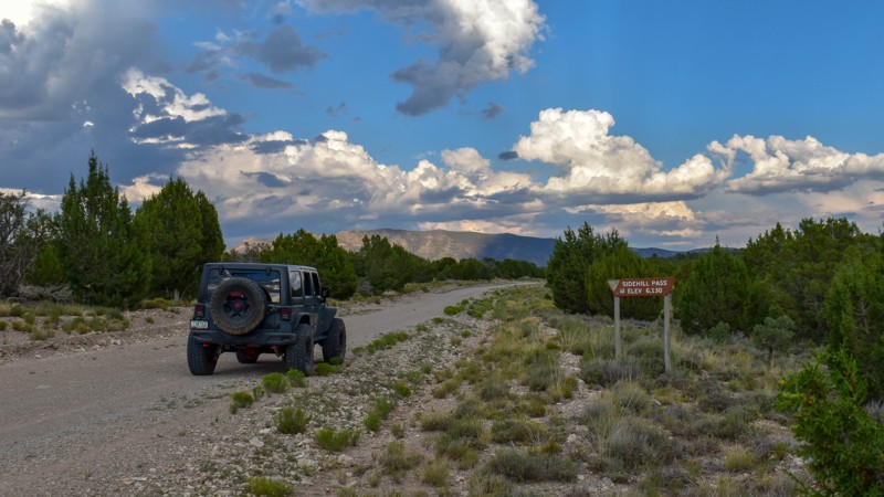
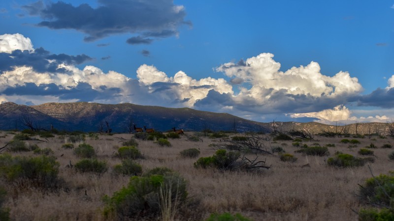
This trail had the most wildlife of any of the trails on this trip. We saw multiple elk, deer, and pronghorn antelope. Overall, this is a very pretty drive, and the easiest access from the east into C...
Cory Wooldridge
Official Crew
Rated 5/5
Open
Visited: 07/23/2026
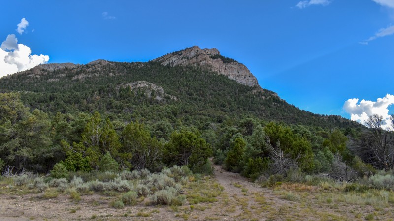
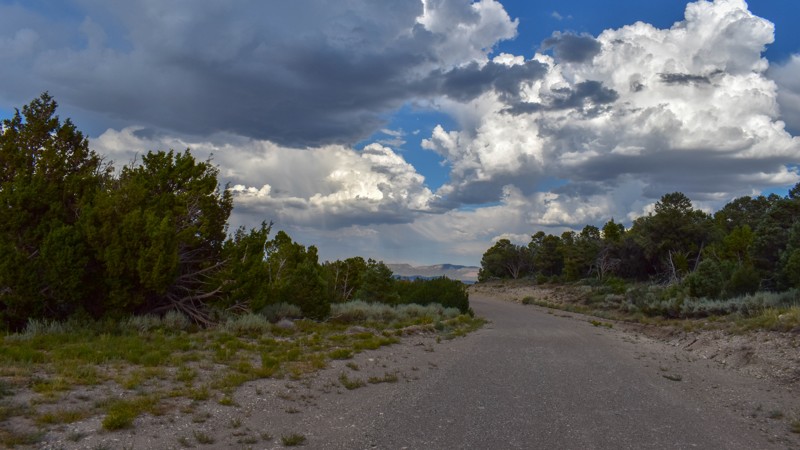
We've camped at Patterson Pass several times, but this was the first time exploring into Cave Valley. This area is gorgeous, the roads were just my style, and the weather was great. The evening monsoo...
Cory Wooldridge
Official Crew
Rated 4/5
Open
Visited: 07/12/2026
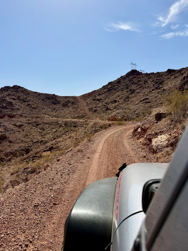
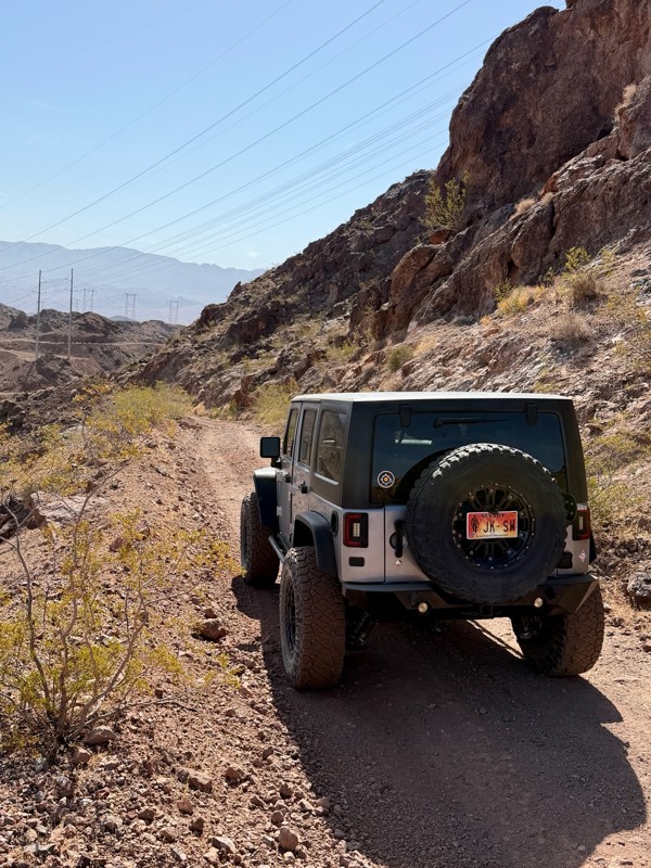
This is a short but exciting trail. You begin by climbing a series of rocky switchbacks that serve as access to the powerlines that tower above you. Don’t get distracted by the scenic views of Lake ...
Bill
Rated 5/5
Open
Visited: 07/06/2026
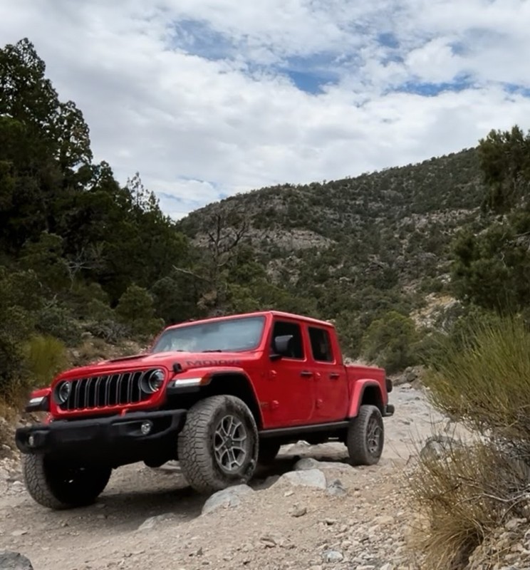
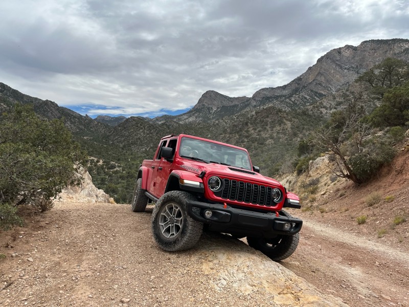
Really Rocky Road - Lift Kit recommended
EC
Edgar Carrillo
No Rating
Open
Visited: 06/29/2026
Joined this at Waypoint 12 of Potosi Pass Road. This isn’t a trail; it’s a four lane wide, mostly gravel, well graded, racetrack. Watch out for locals running at high speeds. It’s worth taking it t...
KN
Karen Nowak
No Rating
Open
Visited: 06/28/2026
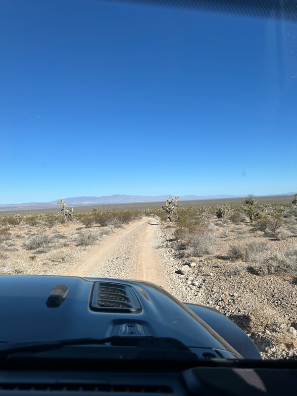
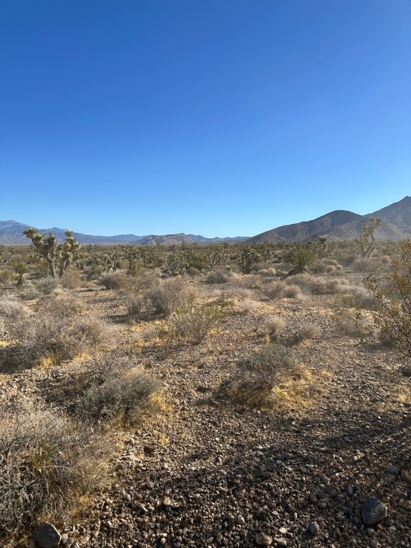
Have done this route before and the problem with Google sending you off course to get to the trailhead off Highway 160 has been solved. It now finds the Potosi historical marker and its attendant le...
KN
Karen Nowak
Rated 5/5
Open
Visited: 06/21/2026
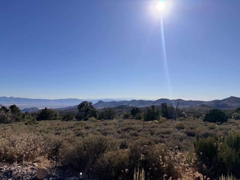
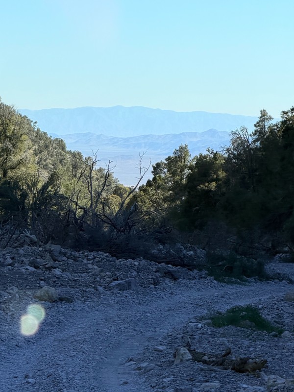
pretty easy trail with really awesome camping opportunities!
AK
Abby Kersey-Mendez
Rated 5/5
Open
Visited: 05/31/2026
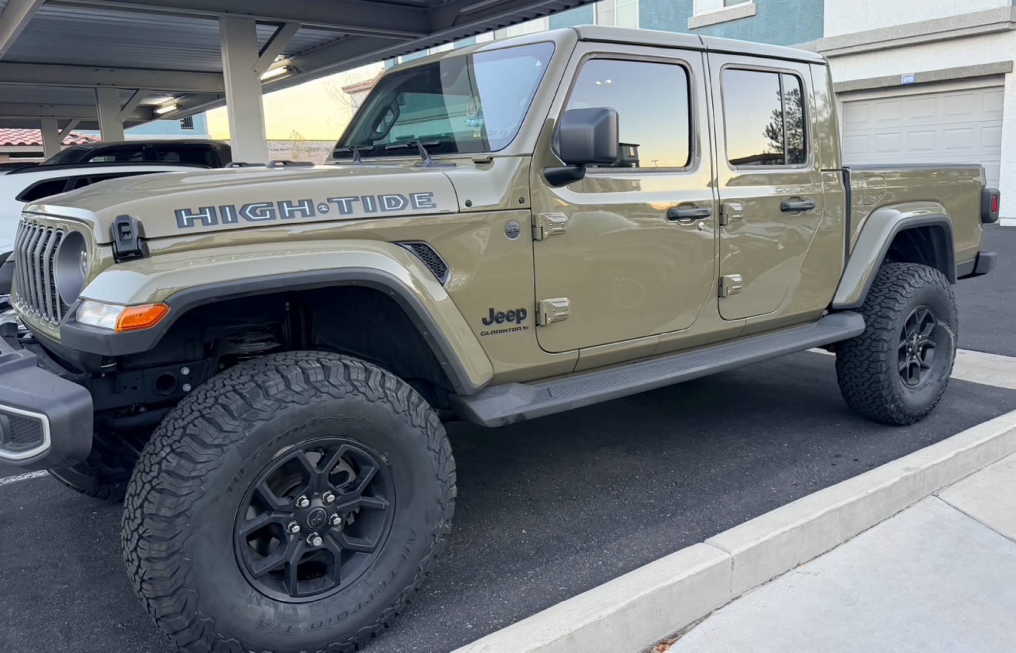
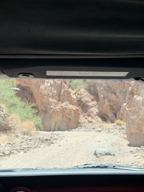
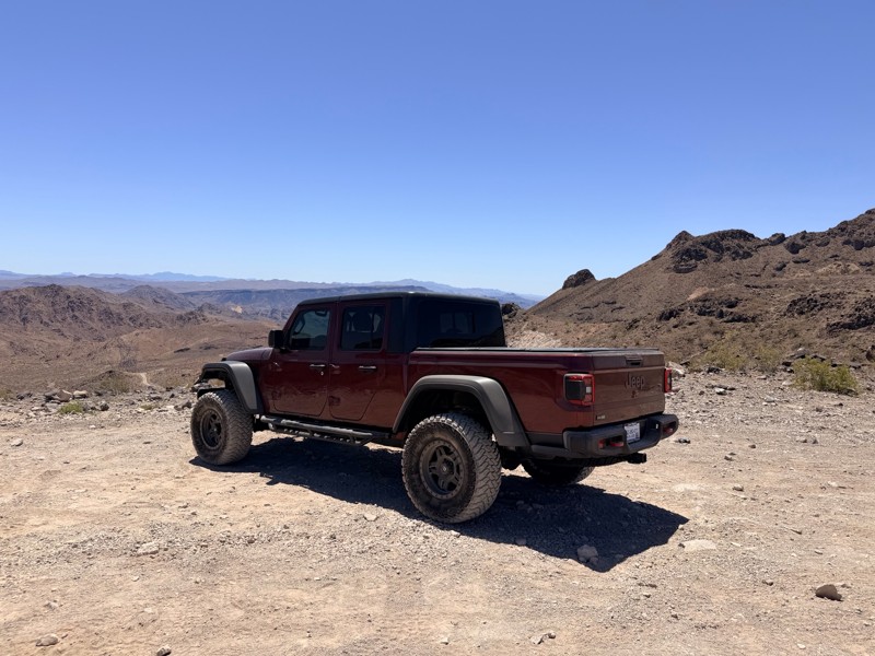
harder than we expected. drove a jeep gladiator for the first time. we got through it but the end was a bit dicey.
AK
Abby Kersey-Mendez
Open
Visited: 05/25/2026
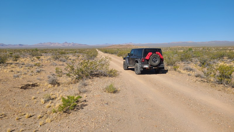
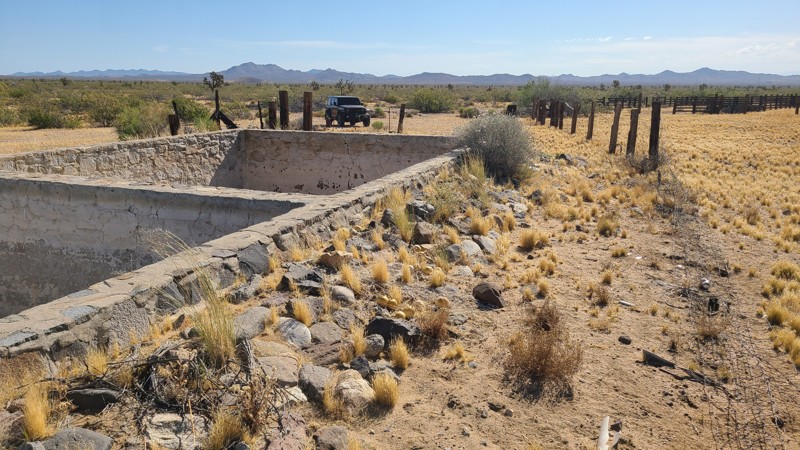
When hiking, watch out for the Cholla cactus and its spines. These are no joke. The microscopic thorns fishhook-like barbs that are very difficult to remove and even stick to your hands when trying ...

Robert
Official Crew
Rated 5/5
Open
Visited: 05/24/2026
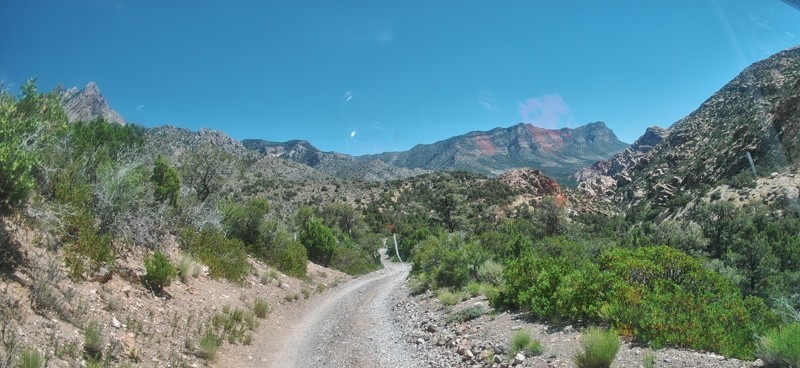
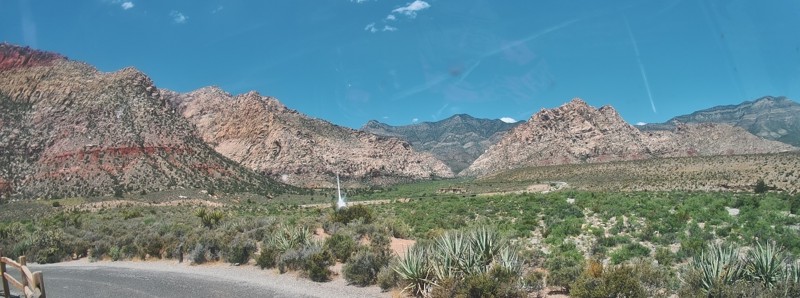
Completed this trail in my Gladiator Rubicon with a 2" lift and 35" tires. It was a pretty easy trail and found the rock Garden a nice challenge and had no problems getting through it. The trail was v...

PBenn
Rated 5/5
Open
Visited: 05/23/2026
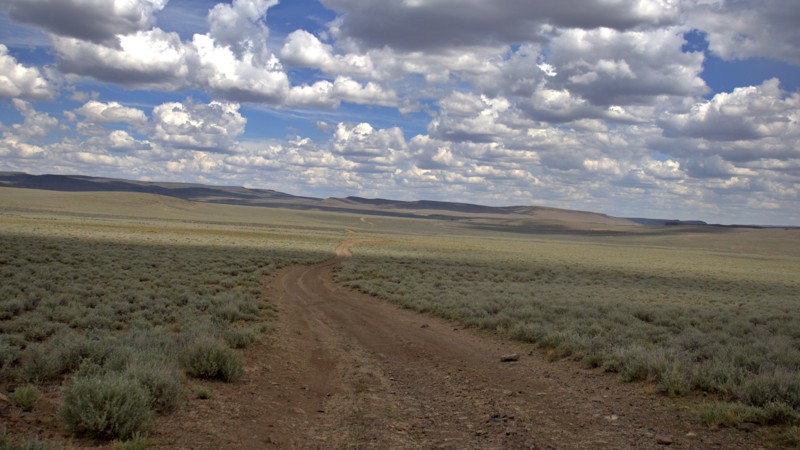
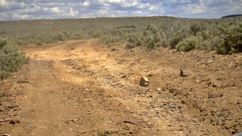
We used High Rock Canyon Road to reach the northern entrance of the High Rock Canyon Trail, and it was a great way to kick off the adventure. While the road isn't particularly difficult, the sweeping ...

Rose Meirs
Official Crew
Rated 5/5
Open
Visited: 05/23/2026
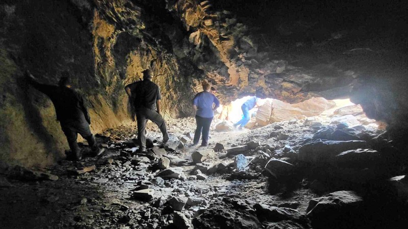
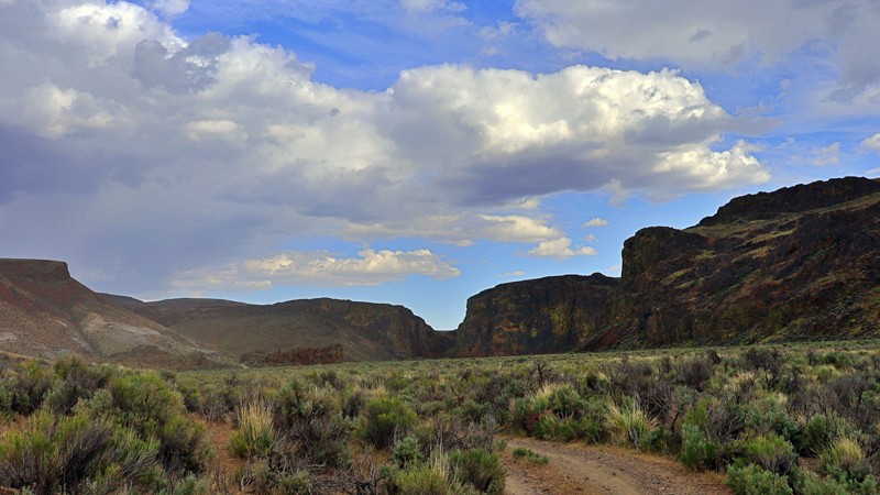
We tackled this trail with a group of six Jeeps and a Colorado ZR2 Bison, and while the route is not particularly difficult, it delivers plenty of adventure along the way. Expect narrow sections where...
Rose Meirs
Official Crew
No Rating
Open
Visited: 05/22/2026
Ran this trail from west to east. The turn off from Sandy Valley Road is easy to miss. The whole area is rich in mining history so it’s interesting to explore.
KT
Ken Turzinski
Rated 5/5
Open
Visited: 05/18/2026
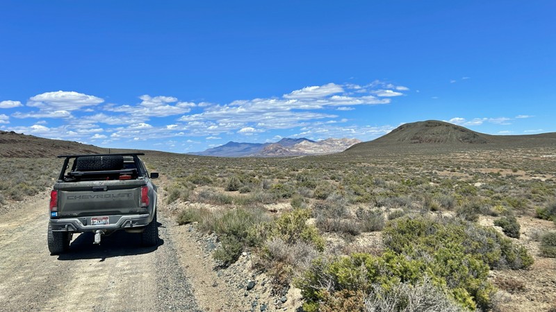
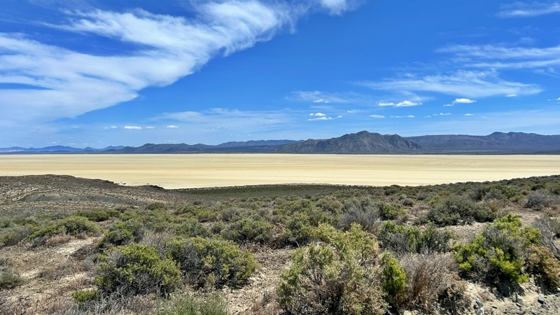
Our group used Soldier Meadows Road as the gateway to our basecamp and as the main route for exploring the incredible Black Rock Desert and High Rock Canyon region. Be prepared for plenty of washboard...
Rose Meirs
Official Crew
Rated 5/5
Open
Visited: 05/18/2026
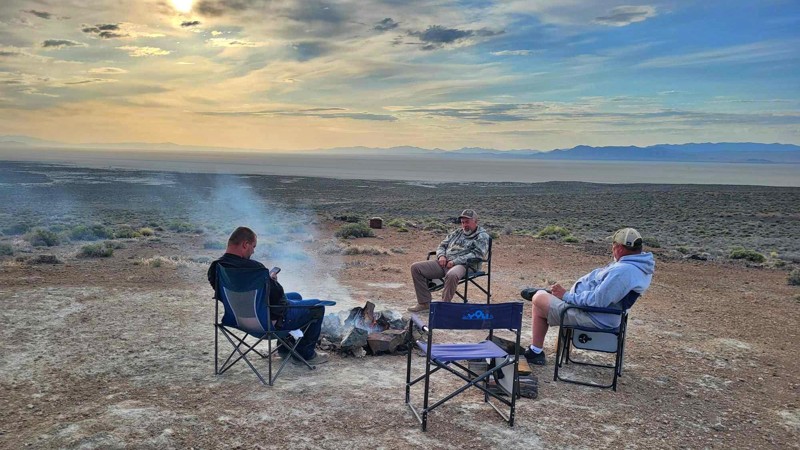
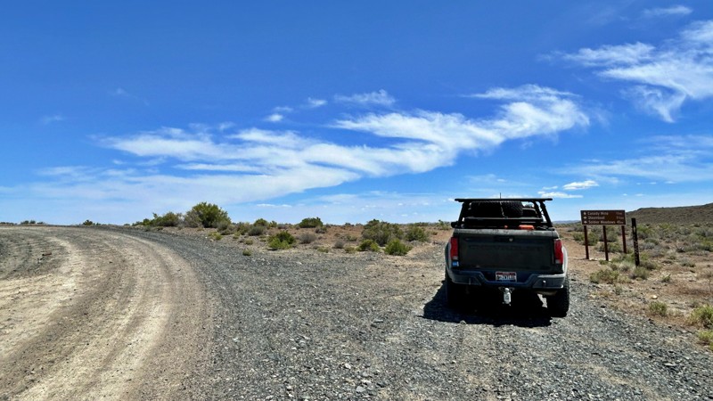
I chose this trail as our base camp and staging area for a Memorial Day weekend adventure exploring the Black Rock Desert and High Rock Canyon. It turned out to be the perfect spot for our group, acco...
Rose Meirs
Official Crew
Rated 5/5
Open
Visited: 05/18/2026
Glad to see this trail open again! Ran in about 3 hours and thoroughly enjoyed it.
Trail will be closed again September 2026 for further repair, so get out there while it's open!

Danny Britton
Most Popular

Updated: 08/28/2026
Sunnyside Cutoff
null, Nevada
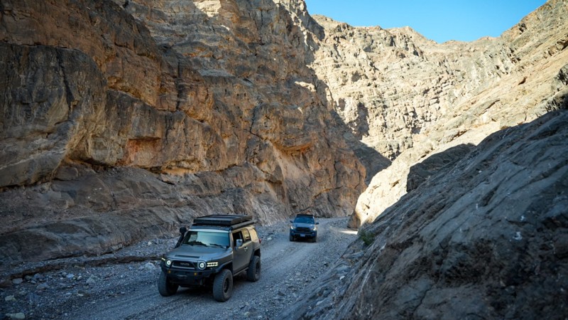
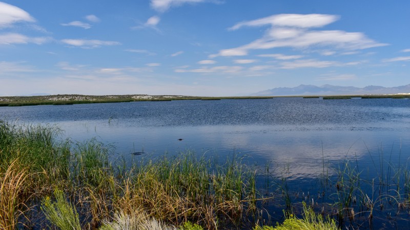
This graded dirt road runs through the Wayne E. Kirch Wildlife Management Area in the White River Valley of Nye County, Nevada, connecting directly with Highway 318. The nearest town is Lund. Highlights include Dacey and Adam-McGill Reservoirs, and Hot Creek, a popular soaking creek, as the route travels through this Nevada Department of Wildlife-managed area.
There is no camping along the trail itself. Dave Deacon Campground sits at the end and offers some shady spots, though most sites sit in full sun and are exposed to the wind. Vegetation is limited primarily to sagebrush and provides very little wind protection. The ground surface is soft dirt.
Updated: 09/13/2026
Sunnyside Road
Mount Wilson, Nevada
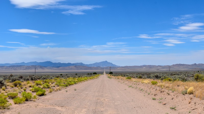
Sunnyside Road is a graded connector road running from Bristol Wells Road and Highway 93 to Highway 318. It passes through the area where Muleshoe and Dry Lake valleys meet, with the majority of the junipers concentrated on the west end of the trail. The remainder travels through high-desert sage and rabbitbrush, offering expansive views of the surrounding mountains and valleys.
NOTE: The signs along Highway 318 show the road name Bristol Wells Road. Most of the paper maps show it named Sunnyside Road.
Camping opportunities along the main trail are virtually nonexistent. Tall sagebrush along either side of the road, together with the drainage ditch and berm, makes it difficult for low- to medium-clearance vehicles to pull off into open areas. There is little to no windbreak along most of the trail, and dust and potential wind further reduce the roadside appeal. Better options are available along the Bristol Wells spur trails to the west in the juniper trees (though few existing campsites are present there), at Dave Deacon Campground off Sunnyside cutoff to the east, or at the northern end of Mud Springs Rd, which offers the highest frequency of better dispersed sites.
Updated: 08/11/2026
Silver King Well
Mount Wilson, Nevada
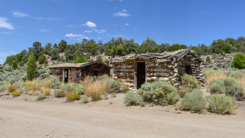
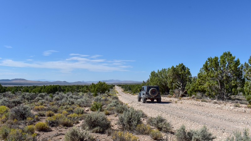
Silver King Well is a single-lane dirt trail (part of the broader Silver State Trail network) in the Schell Creek Range on BLM land northwest of Silver King Pass. The lower/southern half is a winding, rolling rough dirt trail through juniper and pine trees with sweeping blind corners, while the northern half transitions to a rockier, rougher, and bumpier two-track with exposed cobble and uneven. Standout features include the Historic Griswold Cabins (an early sheep-industry headquarters established 1898–99 by Chauncey Warner Griswold Sr., with the original log cabin serving as a cookhouse and the later Railroad Tie Cabin built by his son Gordon in 1932–34; the site is eligible for the National Register of Historic Places and was stabilized in 2010), the nearby Silver King Mine, and the stone ruins of Silver King Well.
An established campsite with parking sits right at the Griswold Cabins. Dispersed sites are uncommon along the rest of the trail—there are few spurs or suitable pull-offs. A couple of spots exist near the Silver King Mine among the junipers, but they sit on a slight slope. Sites are mostly open dirt or sandy ground with only partial shade from scattered junipers; wind exposure is moderate in the more open stretches.
Updated: 08/11/2026
Mud Spring Road
Atlanta, Nevada
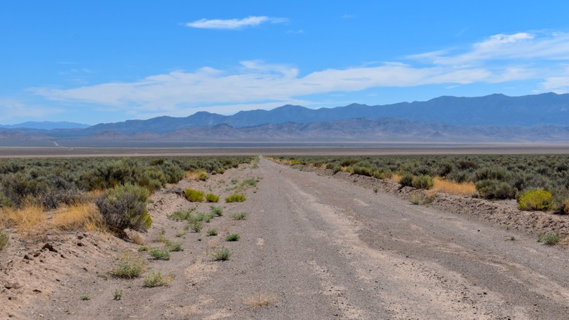
Mud Spring Road (also mapped as Muleshoe Valley Road) is a dirt road that travels through Muleshoe Valley from Highway 93 to Coyote Spring Road. The surface is primarily hard-packed dirt and gravel with scattered loose stones, exposed rock, and mild washboard in places, offering a bumpy ride in spots but remaining suitable for high-clearance vehicles under normal dry conditions. The route crosses open high-desert terrain of dense sagebrush and rabbitbrush mixed with stands of pinyon-juniper, passing an old metal windmill and occasional flat gravelly clearings. Scenery shifts constantly with long sightlines to rocky mountain ranges, distant valleys, and open skies. Groups of wild horses often exceed the number of visitors you will see along this trail. No structures appear anywhere along the trail.
Multiple camping opportunities exist within a short distance of Highway 93 and along spur trails. Sites include flat to gently sloping gravelly and dirt surfaces amid sagebrush, some with partial shade from nearby juniper trees and others fully open and exposed to wind. Dispersed camping is generally allowed on surrounding BLM lands.
Updated: 08/11/2026
Coyote Road
Pioche, Nevada
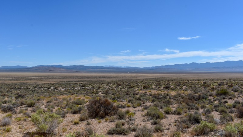
Coyote Road is a graded dirt road that continues from Dry Lake Road and ends at the Coyote Spring intersection on BLM land. The surface has mild washboard with stretches of loose gravel and small embedded rocks, and it can become muddy when wet, so use caution in those conditions. The trail runs through open high-desert flats lined with sagebrush and rabbitbrush, offering long straight views across the valley toward surrounding low hills and distant mountain ranges.
Dispersed camping is allowed, but there are no established sites and nowhere suitable along the trail. There is no shade or taller vegetation to block the wind. The ground surface is flat, soft dirt covered in sagebrush. Better camping opportunities can be found at Bristol Wells Road, the northern end of Mud Springs Road, or Dave Deacon Campground on the west side of Highway 318 off the Sunnyside Cutoff.
Updated: 08/11/2026
Coyote Spring Road
Mount Wilson, Nevada
Coyote Spring Road is a rough dirt road on BLM land that intersects Coyote Rd, Mud Springs Road, and Sunnyside Road. It mostly crosses rolling hills, with deeper washes and ruts near the southern end; unlike the flatter, smoother adjoining trails, drivers should watch for possible washouts over blind hills. The surface is rocky and gravelly dirt with scattered stones, sections of exposed bedrock and caliche, and the route is lined with low sagebrush and sparse desert shrubs. Expansive views open across the high-desert valleys toward distant mountain ranges and prominent stratified hills.
No established campsites exist along this trail, and there are no suitable areas for dispersed camping (though it is allowed on BLM land). There are no trees or other tall vegetation to provide shade or block the wind. The ground is rocky, uneven dirt with exposed rock and caliche amid low sagebrush, leaving sites fully exposed and offering open views of the surrounding desert and mountains.

Upgrade your Membership
Unlock all of the details on every Trail Guide and Scout Route.
Start a 7-day Free TrialBrowse Trails in Nevada by City
Browse every Nevada city with offroad trail guides.
Community
Partners

