
Toquerville Falls (88.66 miles away)
Toquerville, Utah
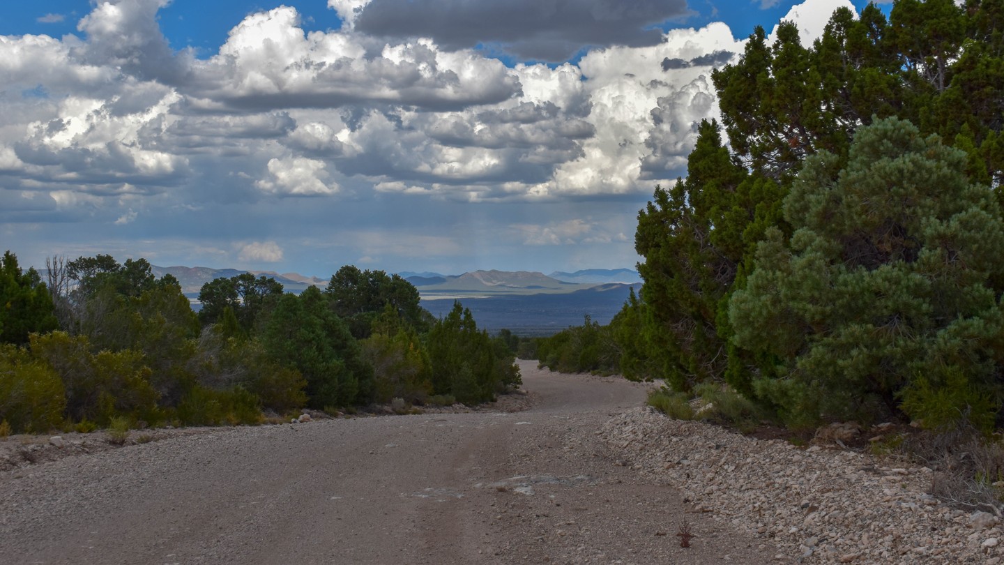

Stampede Road is a varied dirt route that begins near the Caselton Mine Loop (SR 320) outside Pioche and climbs through the rugged volcanic Highland Range, crossing Stampede Gap—a natural low saddle in the ridgeline—before descending into Dry Lake Valley. In the higher mountain sections, it intersects numerous two-track side trails amid open pinyon-juniper woodlands and sagebrush, with scenic views of colorful peaks and rocky slopes.
Below a previous burn scar, the road becomes notably more difficult for about one mile: washed out with deep ruts and loose, rounded gravel where fines have been stripped away by water, creating a soft, sand-like surface that shifts under tires. Drainage patterns along the road and in adjacent washes have nearly erased any trace of the road in some sections. Once on the valley floor, the path eases into a dusty, mildly rutted two-track across the open arid basin.
Dispersed camping is allowed on surrounding public lands, but sites in the area are scarce. There is only one established campsite along the road; it is not very level or ideal. Spur roads offer a few additional camping spots off the trail.
The route passes through the historic Highland Mining District (ore discovered around 1869, producing lead, silver, gold, and copper) and begins near the Caselton area, where the Combined Metals Reduction Company sank a major shaft in 1929 and later built a large flotation mill that processed silver-lead-zinc ores from the 1940s into the 1950s (with intermittent use into the 1970s). The surrounding landscape still shows mining remnants, and the gap itself is now the focus of modern exploration for a porphyry copper-molybdenum system.

