Most Popular

Search for Trails
Kentucky: Turkey Bay OHV Primary Yellow 01 Hero Photo
All-Access Preview Icon
4.8/5 (8 reviews)
Updated: 05/01/2024
Turkey Bay OHV Primary Yellow 01
Open
/
Murray, Kentucky/
5.47 miles/
About 2 hours
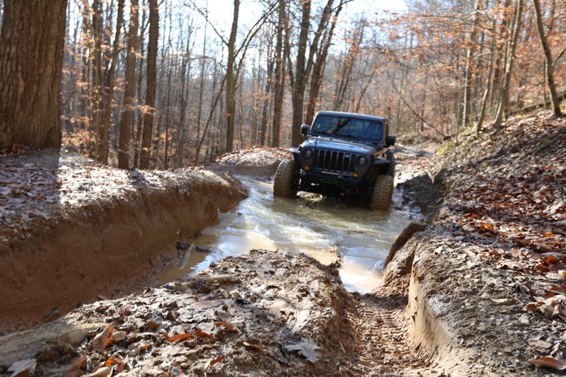
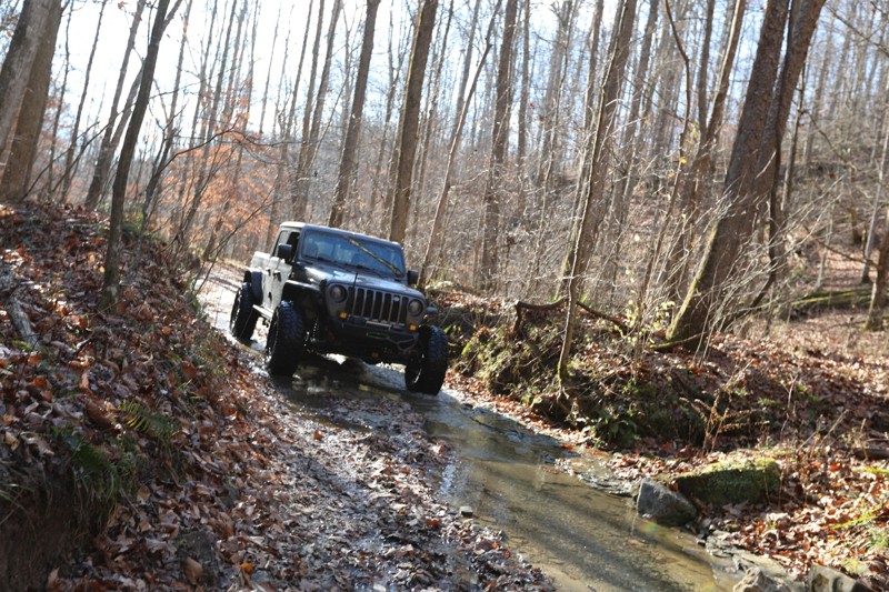
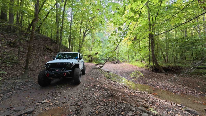
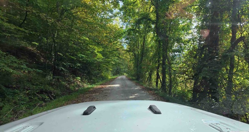
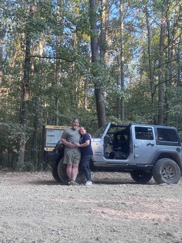
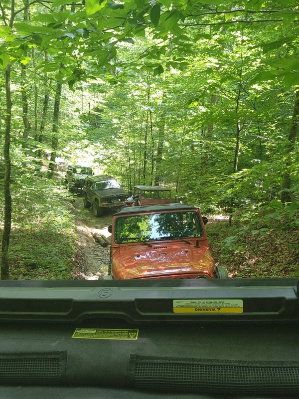
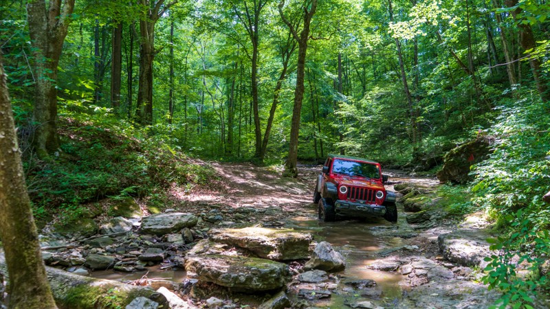
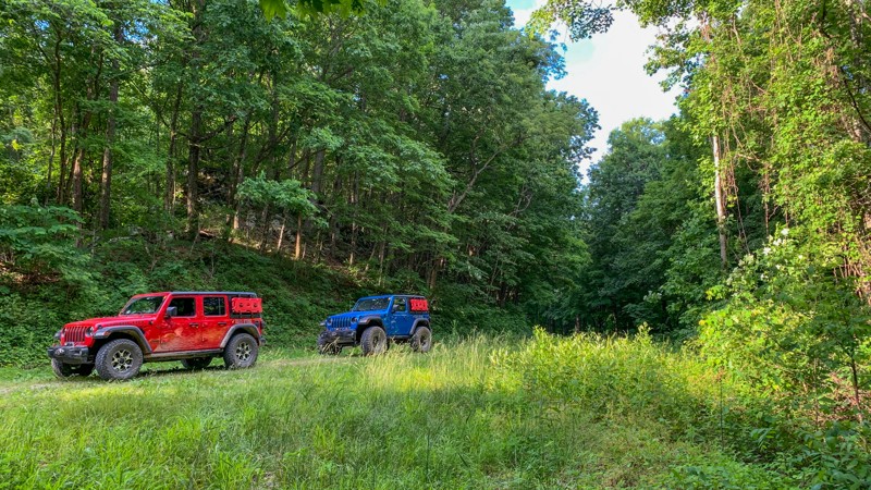
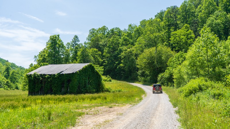
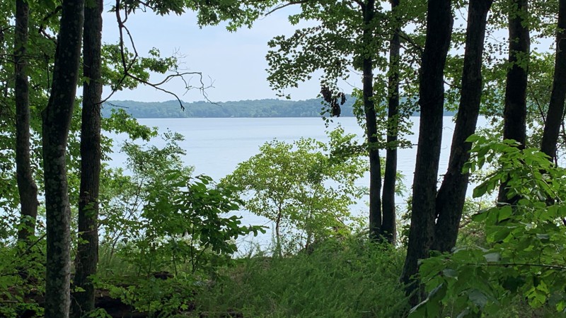
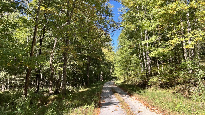
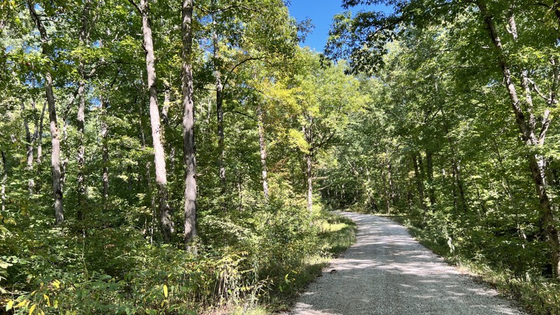
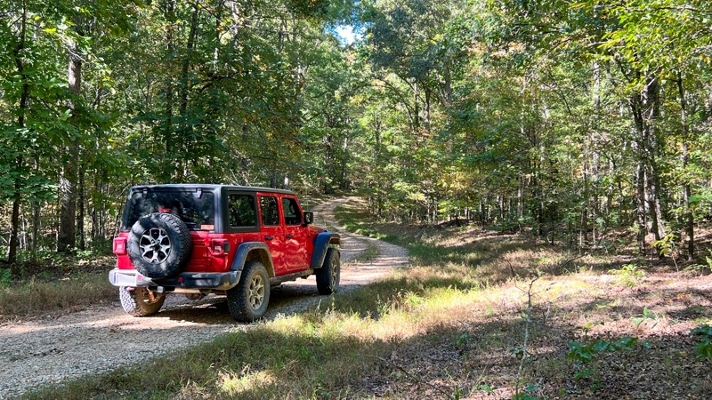
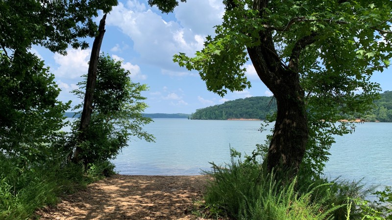
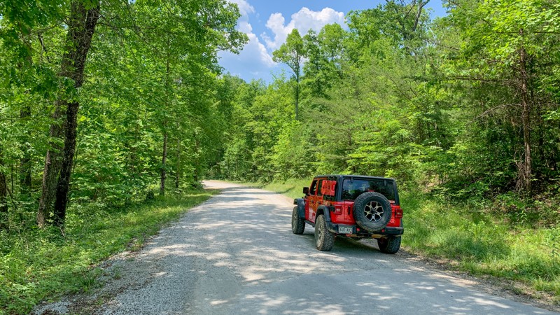
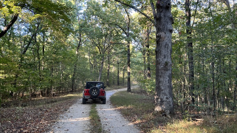
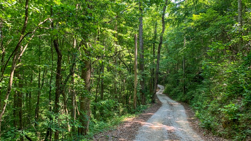
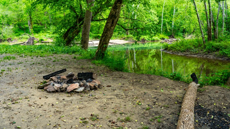
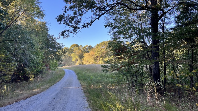
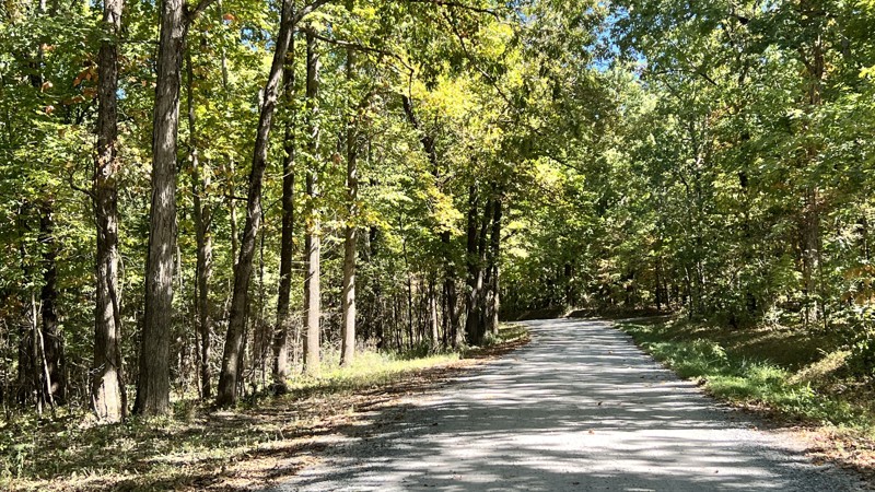
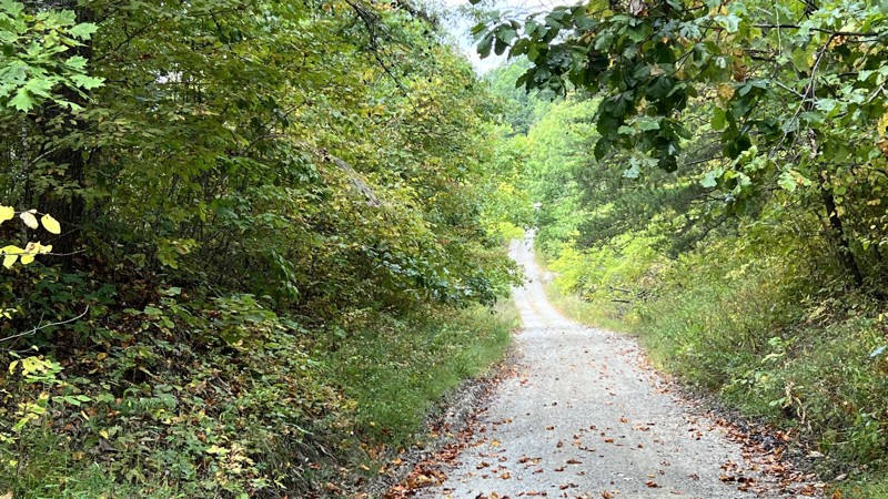
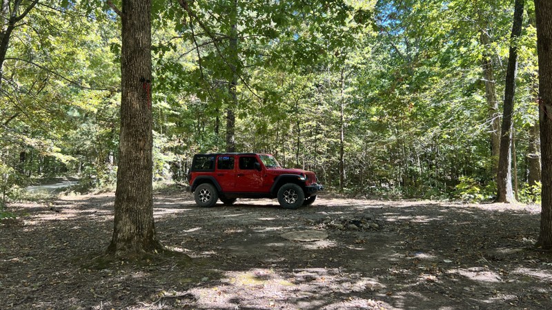
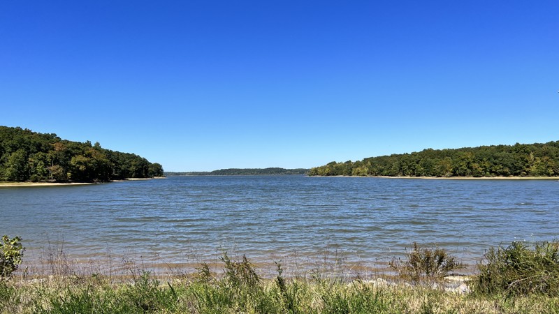
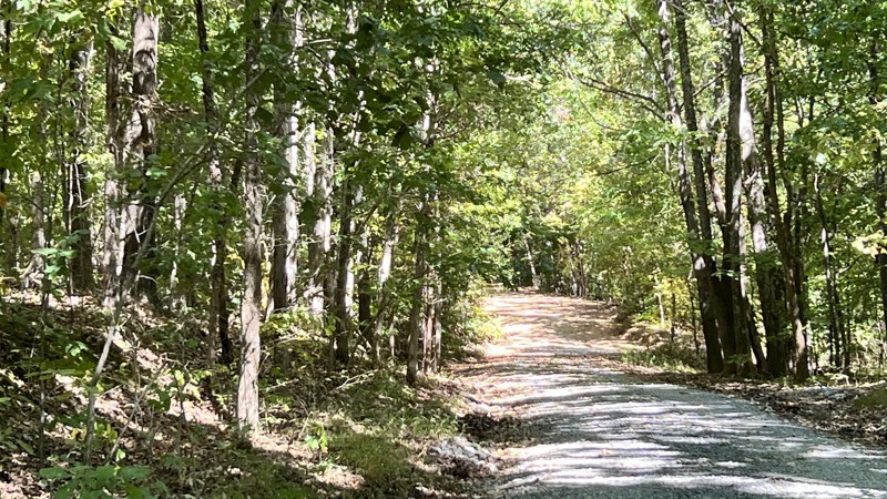
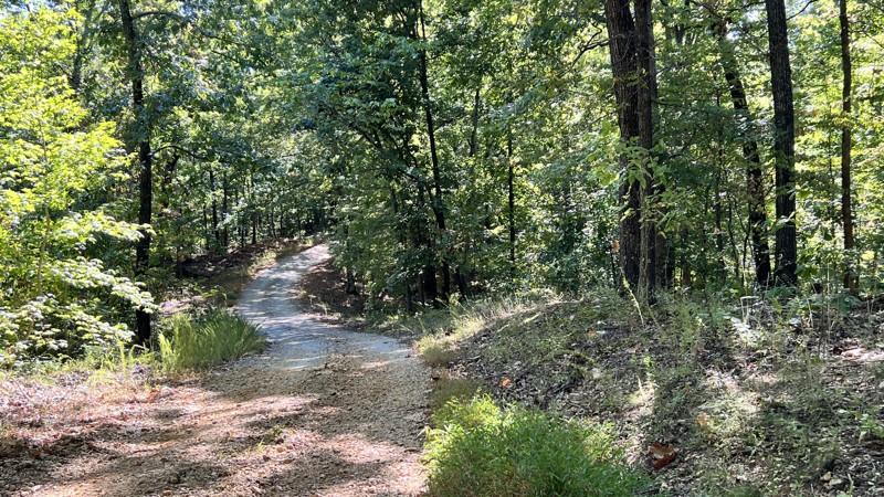
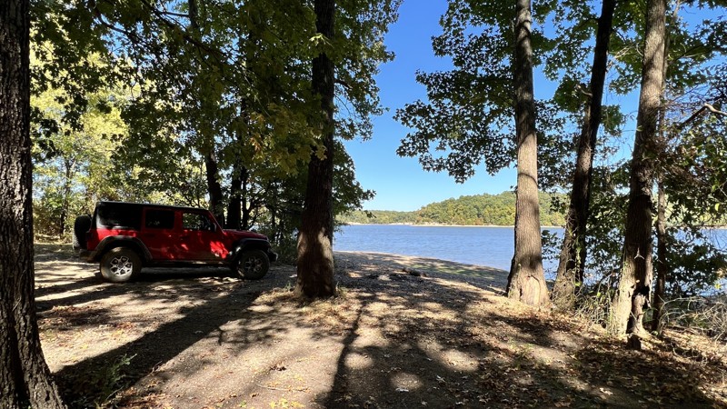
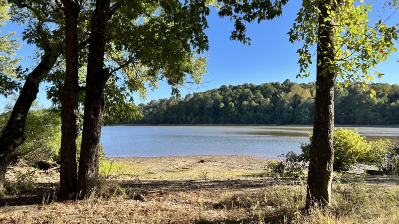
Primary Yellow 1 isn’t a pretty name, but it is a pretty trail through the Kentucky forest. Located smack in the middle of Land Between the Lakes, Turkey Bay OHV Area boasts over 100 miles of off-road trails, and this is one of the main routes through the park. Camping is allowed nearly anywhere along these trails, even shoreline camping and access to Kentucky Lake. These trails are the only designated 4x4/off-road trails in the 170,000 acres in the Lakes National Recreation Area. The 40-mile long national park offers hiking, horse trails, 300 miles of undeveloped shoreline, mountain biking, 400+ miles of scenic roads, and 1400 campsites, including within Turkey Bay. Since this is a primary trail within the OHV park, you will most likely spend time along this trail at some point. Once inside the park, you could spend days exploring it and never take the same way twice. Consider this the first 7 miles of a massive OHV playground and get to Turkey Bay.
Kentucky: Spaas Creek Hero Photo
All-Access Preview Icon
4.8/5 (11 reviews)
Updated: 05/11/2024
Spaas Creek
Open
/
Stanton, Kentucky/
5.99 miles/
About 2 hours

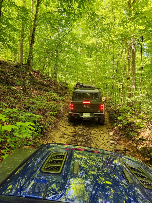
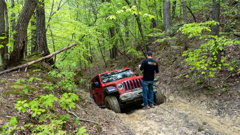
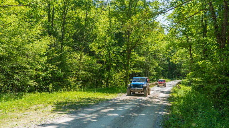
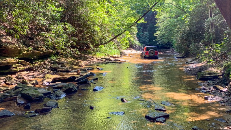
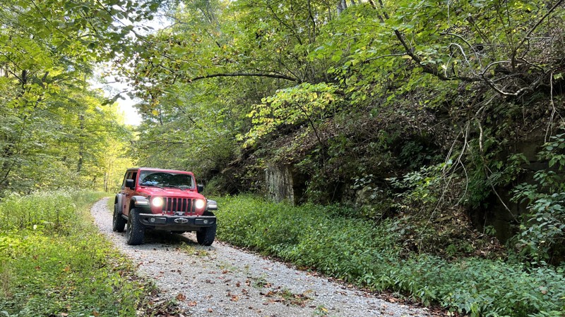
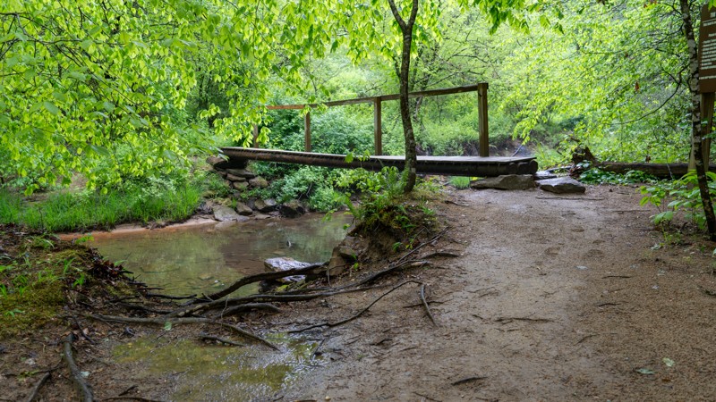
When looking for prime offroad trails in the Red River Gorge Area, look no further than Spaas Creek. It is one of the best offroad trails within the Daniel Boone Backcountry Byway for a good reason - it is satisfying! To satisfy your sense of adventure, it is just tough enough with moderate obstacles to challenge and excite new drivers and provide interest for seasoned drivers. Overlanders love it because it is one of the few trails on the Byway that has dispersed and rustic camping. The wooded wet scenery, which presents new inspiring details around every corner, will captivate even the most cynical in your group. You can't help feeling satisfied after driving Spaas Creek.

Kentucky: Pumpkin Hollow Road Hero Photo
All-Access Preview Icon
5/5 (6 reviews)
Updated: 06/07/2024
Pumpkin Hollow Road
Open
/
Stanton, Kentucky/
3.56 miles/
About 2 hours

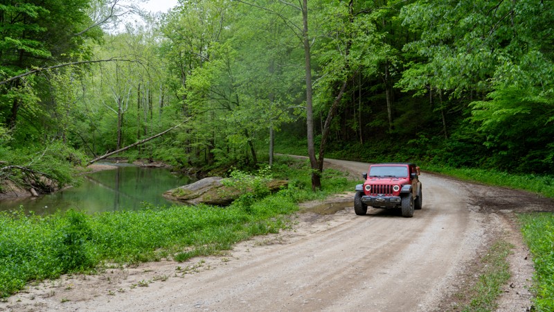
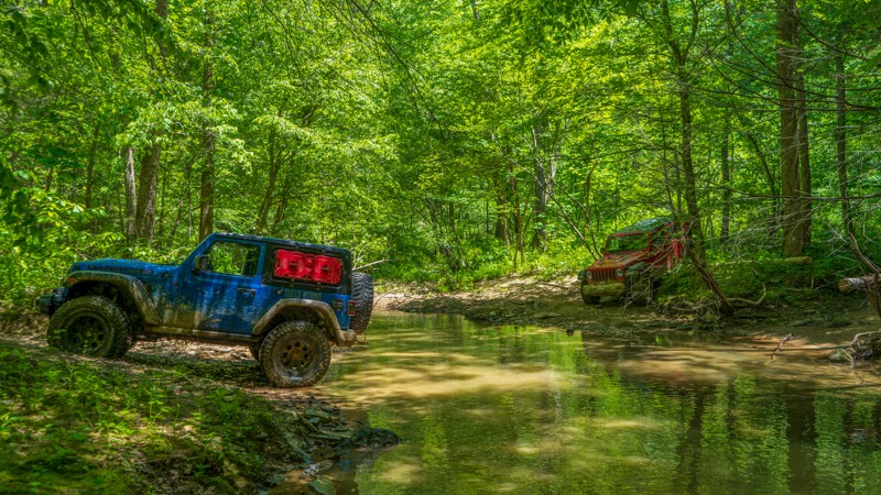
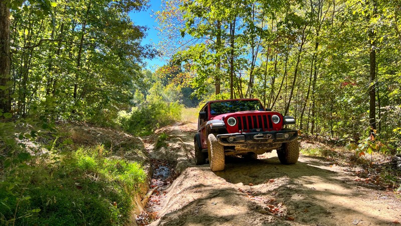
It starts with the name - Punkin Hollow in one county and Pumpkin Hollow in another. Either way you spell it, the Hollow is the quintessential offroad experience of the Red River Gorge region and the Daniel Boone Backcountry Byway. It combines the best features of wheeling in the area without being too stressful and intense. The experience isn't a "gimme" either. You are going to have to earn your hero shots. Slick rocky climbs through a thick dark green forest will give way to the crossing of the Right Fork Cane Creek. Of all the creek crossings on the Byway, this one is special. You will certainly want your camera crew to get the hero shot of you driving the crossing. Get your wheeling buddies and make it an epic trip by combining Pumpkin Hollow with Spaas Creek.

Kentucky: Turkey Bay OHV Primary Yellow 02 Hero Photo
All-Access Preview Icon
4.5/5 (2 reviews)
Updated: 12/15/2023
Turkey Bay OHV Primary Yellow 02
Open
/
Murray, Kentucky/
3.78 miles/
About an hour
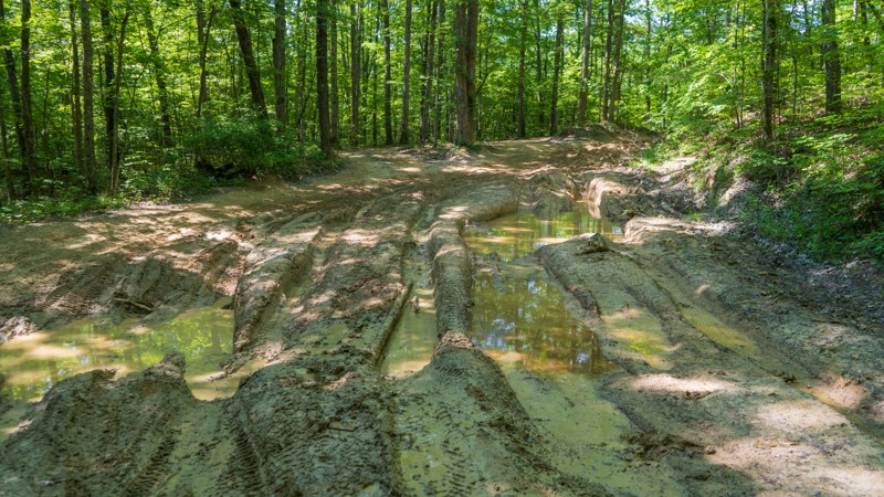
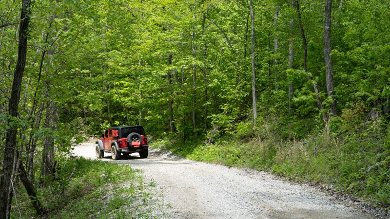
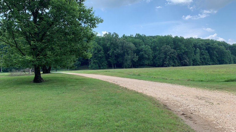
Located in the Turkey Bay OHV area near Murray, KY, Primary Yellow 2 is one of the main trails that take you into the densely packed and nearly 100 miles of trails in the park. Land Between the Lakes is 170,000 acres, but these trails are the only 4x4 designated roads. Wheelers come from all over the midwest to spend some time on this muddy circuit. Land Between the Lakes is a 40-mile long peninsula that offers hiking trails, horse trails, 300 miles of undeveloped shoreline, mountain biking, 400+ miles of scenic roads, and 1400 campsites, including camping within Turkey Bay. This national recreation area attracts over 1.5 million people per year. Primary Yellow 2 is a primary trail into the area but still requires a 4x4 and can get you deep into the park. You can spend time exploring this trail and can take dozens of ways back to the start. This is only the start of the massive OHV park, don’t miss this muddy fun run.
Kentucky: Turkey Creek Road Hero Photo
All-Access Preview Icon
4/5 (2 reviews)
Updated: 12/15/2023
Turkey Creek Road
Open
/
Murray, Kentucky/
1.06 miles/
About 8 hours
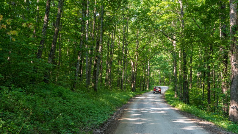
Located near Murray, KY and within the Land Between the Lakes boundary is Turkey Creek Road, the main entrance road into the Turkey Bay OHV Area. Shortly after the guardhouse, this trail is covered in tree canopy and is dense Kentucky forest all the way to the water's edge in the camping area. On top of access to off-road trails in Turkey Bay, the mud playground off the side of this trail is a fun place to splash your rig through. Turkey Bay OHV Area is a dense cluster of nearly 100 miles of off-road trails in the Land Between the Lakes National Recreation Area. These trails are the only designated 4x4/off-road trails in the 170,000-acre park. The rest of the Land Between the Lakes offers hiking, horse trails, mountain bike, scenic roads, and 1400 campsites, including within Turkey Bay. This is the primary trail entrance to the park and you will have to spend time here. Make it worth your while by stopping by the mud pits before taking off into the trail system. Once inside the park, you could spend days exploring it and never take the same way twice. Turkey Bay is a midwest classic, don’t miss it.
Kentucky: Turkey Bay OHV Primary Yellow 04 Hero Photo
All-Access Preview Icon
4/5 (2 reviews)
Updated: 12/23/2023
Turkey Bay OHV Primary Yellow 04
Open
/
Murray, Kentucky/
1.51 miles/
About 30 minutes
While Primary Yellow 4 is only 1.5 miles long, it is an integral part of the over 100 miles that are contained within Turkey Bay OHV. Located in the middle of the Land Between the Lakes recreation area, this trail is a mild run through the Kentucky forest while connecting you to dozens of trails in the system. Since these are some of the only designated 4x4 roads in the area, wheelers come in from all over to explore the area. Land Between the Lakes is a 40-mile long peninsula that offers hiking trails, horse trails, 300 miles of undeveloped shoreline, mountain biking, 400+ miles of scenic roads, and 1400 campsites, including camping within Turkey Bay. This national recreation area attracts over 1.5 million people per year, so bring your rig, and be one of them.
Kentucky: Marbleyard Hero Photo
All-Access Icon
4/5 (2 reviews)
Updated: 02/19/2024
Marbleyard
Irvine, Kentucky

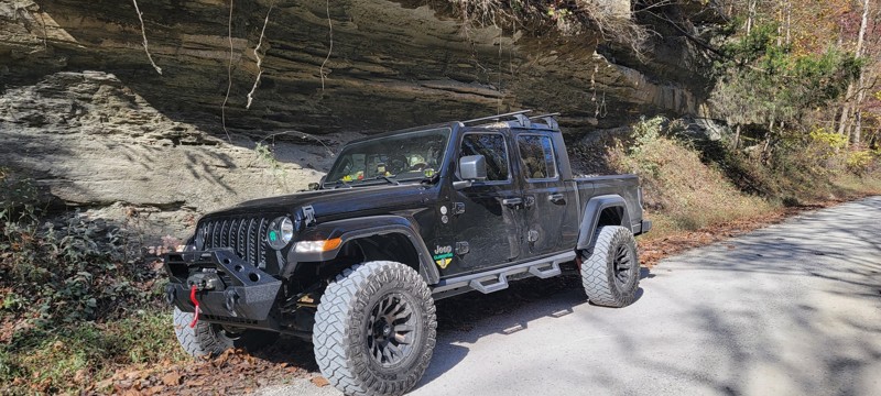
Marbleyard is a scenic route located in the Daniel Boone National Forest. Throughout the forest, the trail passes through a diverse array of flora and fauna, including various tree species like oak, hickory, and maple. Whitetail deer, wild turkey, and various bird species are commonly seen within the forest. Two unique features of this trail are the Cottage Furnace and Tucker Cave, which are both reachable by just a short hike. Despite its easy nature, this trail will surely please any level of adventurer.

Kentucky: Mountain Springs Road Hero Photo
All-Access Icon
5/5 (2 reviews)
Updated: 07/12/2023
Mountain Springs Road
Furnace, Kentucky

Mountain Springs Road will flat-out punch you in the gut while smiling and tell you you are having a great time. And you will believe it. At least you will want to believe it. Arguably the most challenging trail of the Daniel Boone Backcountry Byway. This road is no joke. Like most situations in life, it starts relatively innocent, then quickly morphs into a 3-hour adventure with you and your machine against the trail. Bring your buddies for backup and all the great stories you can share for the years to come.

Kentucky: Indian Creek Road Hero Photo
All-Access Icon
5/5 (2 reviews)
Updated: 12/26/2023
Indian Creek Road
Stanton, Kentucky

Located a short drive from Stanton, Indian Creek Road is a popular local destination for great fishing, swimming, and camping. This scenic drive along the banks of the peaceful, shaded, winding creek is the ideal place to sit back and relax, whether for a day, a weekend, or an extended vacation. Indian Creek Road is one of the few roads in the area with dispersed camping. The camping spots fill fast on weekends.

Kentucky: New Virginia Ridge Road Hero Photo
All-Access Icon
4.3/5 (8 reviews)
Updated: 06/28/2024
New Virginia Ridge Road
Beattyville, Kentucky

New Virginia Ridge is an alternate road following the Daniel Boone Backcountry Byway. It is one of the more calm and subdued backcountry drives in the entire network. Tall hardwoods line the gentle dirt road while you wind down, around, and past flowing tributaries and Hawk Branch. If you roll the windows down or take the top off, you can hear the crystal clear water flowing as you drive by. Towards the end, the trail runs along the edge of Big Sinking Creek, where structures remain from oil and gas booms that went bust before it reaches Bald Rock Fork. It is a perfect addition when driving the Byway.

Kentucky: Johnson Hollow Road Hero Photo
All-Access Icon
4/5 (3 reviews)
Updated: 06/07/2024
Johnson Hollow Road
Frenchburg, Kentucky

Driving into a dark hollow for the first time always brings a bit of a thrill and excitement. Johnson Hollow Road is no different, with the thrill and excitement coming in the form of being greeted by an old house with its own personality. When you drive by the mysterious old house, you can't help but wonder what it was like decades ago, perhaps with a cheerful, rosy-cheeked grandmotherly figure waving to you as you drive by. But then the present moment sets in, and all you see are the endlessly dark windows and the feeling you are being watched by something or someone within the decaying structure. Johnson Hollow is an excellent add-on or a fun bypass to Wayne Benson Road when driving the DBBB.

Kentucky: Fixer-Leeco Road Hero Photo
All-Access Icon
4.5/5 (6 reviews)
Updated: 06/29/2024
Fixer-Leeco Road
Slade, Kentucky

Fixer-Leeco Road is a perfect beginner trail along the Daniel Boone Backcountry Byway. Long water crossings through beaver areas are a memory-making experience and get your proverbial tires wet when learning how to drive offroad. Additionally, Fixer-Leeco marks the beginning of a long stretch of dirt road when you combine it with Fixer Road and either Cave Fork Road or New Virginia Road.

Kentucky: Cold Iron Fork Road Hero Photo
All-Access Icon
5/5 (2 reviews)
Updated: 07/12/2023
Cold Iron Fork Road
Frenchburg, Kentucky

Cold Iron Fork Road on the Daniel Boone Backcountry Byway can be described as "a thorn among the roses." The thorn is one gnarley rock obstacle, and the roses are literally wild roses found abundantly on the trail. Combine that with driving under an impressive tree canopy of beech, sugar maple, oak, hemlock, hickory, and white pines to round out the whole offroad experience. Have the winch ready, and bring a camera!

Kentucky: Ross Creek Hero Photo
All-Access Icon
5/5 (1 reviews)
Updated: 02/19/2024
Ross Creek
McKee, Kentucky

Ross Creek Off-Road Trail is a thrilling and rugged adventure nestled within the picturesque Daniel Boone National Forest in Kentucky. This offroad trail, also known as Pistol Creek by the locals, offers adrenaline-pumping experiences for off-roading enthusiasts and nature seekers alike. As you navigate the challenging terrain of Ross Creek Trail, you'll be captivated by the stunning forest scenery and towering trees. This trail is perfect for those seeking a thrilling offroad excursion, with its mud pits, rocky sections, and creek crossings that test both the skill and endurance of drivers. For an unforgettable offroad adventure in the heart of the Daniel Boone National Forest, Ross Creek is an absolute must.

Kentucky: Old Fincastle Road Hero Photo
All-Access Icon
4.8/5 (4 reviews)
Updated: 06/08/2024
Old Fincastle Road
Beattyville, Kentucky

Touted as tough and non-negotiable, Old Fincastle Road is among the few rock-crawling offroad trails when driving the Daniel Boone Backcountry Byway. It's one you don't want to skip. The trail has interesting and exciting features for drivers and passengers alike, from the challenging rock obstacles to a fun, scenic water crossing of Walker Creek. If you are new to rock crawling, this one will pucker you up just enough to inspire you to find more rock crawling trails.

Kentucky: Wayne Benson Road Hero Photo
All-Access Icon
4.5/5 (4 reviews)
Updated: 07/20/2024
Wayne Benson Road
Frenchburg, Kentucky

Wayne Benson Road is worth adding to your list of DBBB trails. Mushy, mucky, and muddy Wayne Benson Road is an actual trail that provides the sense of adventure you seek. When all you hear are the birds chirping and the sound of sticky mud under your tires, you will feel remote, alone, and insulated from mundane daily life. As an add-on in this area of the DBBB, you can continue your offroad experience by taking on Johnson Hollow after completing this trail.

Kentucky: Fixer Road Hero Photo
All-Access Icon
3/5 (4 reviews)
Updated: 03/16/2024
Fixer Road
Slade, Kentucky

Many roads and offroad trails along the Daniel Boone Backcountry Byway are named after landscape features, such as ridges, creeks, or forks. Others are named based on what towns they connect, such as Fixer-Leeco. Then you have the roads named after the town or settlement itself. That is the case with Fixer Road. Let's be clear. Fixer is not named in adoration an attorney who works for corrupt politicians, but rather for a man who was irritated with the U.S. Post Office. Folklore has it that a post office was established in the community in 1917. After submitting several rejected entries to postal authorities, an irritated customer declared that he was done suggesting place names. If the post office didn't like it, they could "fix 'er" themselves. If you are driving the DBBB, Fixer Road takes you through historical oil and gas activity and old homesteads while providing views of the Big Sinking Creek.

Kentucky: Cave Fork Road Hero Photo
All-Access Icon
3/5 (4 reviews)
Updated: 03/20/2024
Cave Fork Road
Slade, Kentucky

Cave Fork Road is the tale of two stories. The first story is that you drive through two creek crossings for almost 3/4 of a mile and can take in the lush forest around you. The other side of the story is that you can witness Kentucky's oil and gas history for the remainder of the road as you drive through an old oil boom area that helped America win World War 1. If you are driving the DBBB, there are other options to reach pavement, such as Bald Rock Fork Road or New Virginia Road.

Kentucky: S-Tree Road Hero Photo
All-Access Icon
3/5 (2 reviews)
Updated: 02/19/2024
S-Tree Road
McKee, Kentucky

S-tree is a captivating destination for those seeking tranquility and natural beauty. Located in the heart of Kentucky's rolling hills, this enchanting region offers a serene escape from the hustle and bustle of everyday life. Visitors to the S-tree area can immerse themselves in the lush greenery of the forest, exploring a network of picturesque hiking and driving trails that wind through towering trees and vibrant wildflowers. Whether it's a peaceful hike, a scenic picnic, or simply basking in the serenity of nature, S-tree is a hidden gem within the Daniel Boone National Forest, inviting visitors to unwind and reconnect with the natural world.

Kentucky: Brushy Fork North Road Hero Photo
All-Access Icon
5/5 (2 reviews)
Updated: 07/12/2023
Brushy Fork North Road
Korea, Kentucky

Brushy North Fork Road is a true delight among the offroad trails that make up the Daniel Boone Backcountry Byway. Your attention is immediately captured by a rock obstacle to begin the trail before it gives way to water crossings that are several vehicle lengths long. Most of the water comes from the several ponds you pass by, where at points, they overflow into the road. Adding to the delight factor, the ponds provide clear views of the skies above, making this trail somewhat different than most in the area as copious amounts of sunlight shines in the lower sections, which makes you want to roll the windows down or take the top off to enjoy the experience in its entirety.

Kentucky: Wild Dog Creek Hero Photo
All-Access Icon
4.2/5 (6 reviews)
Updated: 02/19/2024
Wild Dog Creek
McKee, Kentucky

Wild Dog Creek Road is a captivating route nestled within the enchanting beauty of the Daniel Boone National Forest. This scenic road winds its way through the forested landscapes, offering an immersive experience for nature lovers and outdoor enthusiasts alike. As you traverse Wild Dog Creek Road, you'll be greeted by towering trees, peaceful creeks, and an abundance of wildlife. Whether you're seeking a peaceful drive or stringing together an adventure-filled route, be sure to check out Wild Dog Creek.

Kentucky: Bald Rock Fork Road Hero Photo
All-Access Icon
4.5/5 (4 reviews)
Updated: 06/29/2024
Bald Rock Fork Road
Beattyville, Kentucky

Part of the Daniel Boone Backcountry Byway, Bald Rock Fork is a remote and quiet road sure to pique your adventurous spirit. This road starts where Fixer Road ends along the edge of the Big Sinking Creek, which they call sinking because water disappears or sinks into limestone deposits, making the creek look dry as the water runs underground. The trail eventually turns to follow its namesake, Bald Rock Fork. With impressive creek views and crossings, the road enters the Pendergrass Murray Recreation Preserve, with world-class rock climbing and fantastic hiking opportunities.

Kentucky: Ballard Branch/Lone Oak Hero Photo
All-Access Icon
4.2/5 (4 reviews)
Updated: 06/15/2024
Ballard Branch/Lone Oak
Clay City, Kentucky

If Ballard Branch/Lone Oak is your first set of trails or roads when doing the entire Daniel Boone Backcountry Byway, don't let its schizophrenic personality fool you that the DBBB as a whole is going to be just like this one. It won't. If you are already on your way and have driven several other trails, you will be glad this one goes quickly.

Kentucky: Hell Creek Road Hero Photo
All-Access Icon
3.7/5 (3 reviews)
Updated: 07/12/2023
Hell Creek Road
Beattyville, Kentucky

Towering above you, sheer cliff walls are lined at the bottom with laurels that run alongside the road as you descend into the hollow that Hell Creek trickles across. While short and quick, this scenic and gentle road is a no-brainer to add to your list of roads you want to drive the DBBB. It is the perfect add-on when tackling the infamous Old Fincastle Road.

Kentucky: Big Perry Morehead Hero Photo
Scout Route Icon
2/5 (3 reviews)
Updated: 12/15/2024
Big Perry Morehead
Haldeman, Kentucky
Big Perry is a gravel road leading to hiking trailheads in the Sheltowee Trace National Recreation Area. The trail follows along a ridgeline for almost its entire distance, where you can see ground sloping downwards on either side of you. While leaves are on the trees, it provides zero views. At about midpoint, it passes under high voltage power lines. Observed one pre-disturbed campsite and no other suitable locations.
Kentucky: Barnes Buck Hero Photo
All-Access Icon
0/5 (0 reviews)
Updated: 06/14/2023
Barnes Buck
Irvine, Kentucky

Barnes Buck Road in the Daniel Boone National Forest is an exhilarating offroad destination that promises adrenaline-fueled fun for adventurous enthusiasts. This rugged trail showcases the perfect blend of natural beauty and thrilling challenges. One of the notable features that set Barnes Buck apart is its numerous mud pits, which test the mettle of both drivers and their vehicles. As you navigate through this offroad playground, you'll encounter multiple obstacles and mud-bogging opportunities. The picturesque surroundings of the forest, with its towering trees, only add to the excitement and make Barnes Buck Road an unforgettable experience. If you're seeking a thrilling offroad adventure complete with mud-slinging action, Barnes Buck Road is a must-visit destination.

Kentucky: Rader Ridge Road Hero Photo
All-Access Icon
4/5 (1 reviews)
Updated: 02/19/2024
Rader Ridge Road
Beattyville, Kentucky

The muddy Rader Ridge Road on the Daniel Boone Backcountry Byway is an exhilarating and challenging offroad experience that will test the skills of even the most seasoned adventurers. Located within the rugged beauty of the Daniel Boone National Forest, this road is known for its treacherous conditions, particularly during wet weather. As drivers maneuver through the deep mud and slippery terrain, they face thrilling obstacles that demand expert navigation and a capable vehicle. If you're seeking an adrenaline-fueled offroad adventure, tackling the muddy Rader Ridge Road on the Daniel Boone Backcountry Byway is an unforgettable experience that will leave you in awe of the raw beauty of nature.

Kentucky: Wolf Knob Hero Photo
Scout Route Icon
4/5 (2 reviews)
Updated: 10/15/2024
Wolf Knob
Ayers, Kentucky

Climbing 700 feet through the Daniel Boone National Forest, Wolf Knob is an easy route of maintained gravel that dead ends at almost 1,800 feet. A few dispersed campsites are among the lush Kentucky vegetation, with the prime campsite right underneath a seemingly out-of-place patch of rocks. If peace and quiet are what you are after, this trail might just fit the bill.

Kentucky: Patrick Cemetery Road Hero Photo
All-Access Icon
1/5 (2 reviews)
Updated: 07/12/2023
Patrick Cemetery Road
Frenchburg, Kentucky

Patrick Cemetery Road is a necessary evil when driving the Daniel Boone Backcountry Byway. It is not very exciting compared to other roads along the DBBB, but it's not pavement either. Drive this road for one reason - to say that you completed every road on the DBBB!

Kentucky: Herdes Springs Hero Photo
All-Access Icon
3/5 (2 reviews)
Updated: 02/19/2024
Herdes Springs
McKee, Kentucky

The Herdes Springs 4x4 Trail on the Daniel Boone Backcountry Byway is a thrilling adventure for offroad enthusiasts. Located amidst the rugged beauty of Kentucky's wilderness, this trail offers a challenging and exhilarating experience for those passionate about four-wheeling. Drivers navigating the trail encounter obstacles, including steep inclines and declines, rocky terrain, and muddy sections, testing their driving skills and vehicle capabilities. Towering trees surround the trail as you wind down to Herdes Creek. For those seeking an adrenaline-pumping offroad adventure in the heart of nature, the Herdes Springs 4x4 trail is an absolute must-visit.

Kentucky: Rooks Branch Hero Photo
Scout Route Icon
4.5/5 (2 reviews)
Updated: 10/15/2024
Rooks Branch
Buch, Kentucky

Rooks Branch is a relatively flat trail winding through the Daniel Boone National Forest. There were no obstacles along its 2.8-mile length. However, you get to cross a little creek with a firm but rocky bottom. Unfortunately, there were no suitable camping locations to be seen.

Kentucky: Brushy Hero Photo
All-Access Icon
4.5/5 (2 reviews)
Updated: 07/12/2023
Brushy
Korea, Kentucky

The sticky mud and a long descent into the hollow will brighten your eyes and widen your smile. Brushy 1085, part of the Daniel Boone Backcountry Byway, starts 4.5 miles of actual offroad trail when you combine it with its neighbor, Brushy Fork North Road. The forest envelopes you with direct sunshine, quickly losing its shine as you drop into the hollow. As you continue this short trail, photo opportunities unveil themselves to you and your wheeling mates. After completing this trail, photos of water crossings, a calming unnamed tributary, and flexy obstacles will surely be in your collection.

Kentucky: Turkey Foot Hero Photo
All-Access Icon
3/5 (1 reviews)
Updated: 02/19/2024
Turkey Foot
McKee, Kentucky

Turkey Foot is a true gem for nature enthusiasts and outdoor adventurers alike. Located in the rugged mountains of eastern Kentucky, this pristine region boasts breathtaking landscapes, dense forests, and sparkling waterways that beckon visitors to explore. The trail meanders calmly through rich biodiversity and abundant wildlife. Turkey Foot is a haven for nature lovers, offering a unique opportunity to connect with the natural wonders of the Daniel Boone National Forest.

Kentucky: Bacon Creek Road Hero Photo
Scout Route Icon
5/5 (1 reviews)
Updated: 10/21/2024
Bacon Creek Road
Golden Pond, Kentucky

Bacon Creek Road, within Land Between the Lakes, leads to a hiking trail that offers a great view of and access to Lake Barkley. However, this road is subject to closure during heavy storms. The park encourages visitors to review the official Land Between the Lakes Alerts prior to visiting for temporary trail and road closures. Campers can camp in just about any area within the park. But please familiarize yourself with LBL's camping costs and policies. There is no cost to drive this trail. Camping Permits are $20 for those over 18. Anyone under 18 does not need a permit.


Land Between the Lakes is a 40-mile long peninsula that offers hiking and horse trails, 300 miles of undeveloped shoreline, mountain biking, 400+ miles of scenic roads, and numerous campsites. If you're one of the 1.5 million people who visit Land Between the Lakes every year, make Bacon Creek Road a part of your day.

Kentucky: Sand Lick Hero Photo
Scout Route Icon
2/5 (1 reviews)
Updated: 10/15/2024
Sand Lick
Foxtown, Kentucky

Sand Lick is a maintained gravel road taking you from the town of Foxtow toward Highway 421 just north of Kckee. There are no obstacles along its 4-mile length, making it great for anyone looking to get out and spend time in nature. No camping was observed along the trail.

Kentucky: Ford Bay Road Hero Photo
Scout Route Icon
5/5 (1 reviews)
Updated: 10/15/2024
Ford Bay Road
Golden Pond, Kentucky
Ford Bay Road is located in the Kentucky portion of Land Between the Lakes (LBL). This trail is accessible from the main trail, Woodland Trace 100, which runs the entire length of LBL. Ford Bay Road trail features a combination of gravel, dirt, and mud surrounded by thick vegetation, and shade. Campers have the opportunity to camp in just about any area within the park. But, please familiarize yourself with LBL’s camping costs and policies. There is no cost to drive this trail. Camping Permits are $20 for those over 18. Those under 18 do not need a permit. LBL is a 40-mile long peninsula that offers hiking and horse trails, 300 miles of undeveloped shoreline, mountain biking trails, 400+ miles of scenic roads, and over 1400 campsites. If you’re one of the 1.5 million people who visit LBL every year, make this trail a part of your visit.
Kentucky: Brandon Chapel Road Hero Photo
Scout Route Icon
3/5 (1 reviews)
Updated: 10/15/2024
Brandon Chapel Road
Cambridge Shores, Kentucky
Brandon Chapel starts as a powdery limestone gravel road. It is so fine that the vegetation and trees on the side of the road are covered in light grey limestone dust. After passing a cemetery, this limestone gives way to an active logging area. After the logging area, the road turns scenic and rustic and is lined with Chinese Bushclover. Towards its east end, the road shows signs of erosion. No pre-disturbed camping sites were found, but there are open prairie areas where one could camp if needed.
Kentucky: Old River Road Hero Photo
Scout Route Icon
5/5 (1 reviews)
Updated: 10/15/2024
Old River Road
Linton, Kentucky
Old River Road stretches over 5 miles through the middle portion of Land Between the Lakes. A few rough and muddy spots along the trail can be navigated with a stock vehicle with good ground clearance. Also, Old River Road intersects with eight other trails. A portion of this trail crosses over Pryor Bay and provides a great view of the bay and a good place to drop a line and catch your dinner. Campers can camp in just about any area within the park. But, please familiarize yourself with Land Between the Lakes’s camping costs and policies. Camping permits are $20 for those over 18. Anyone under 18 does not need a permit. Land Between the Lakes is a 40-mile long peninsula that offers hiking trails, horse trails, 300 miles of undeveloped shoreline, mountain biking, 400+ miles of scenic roads, and 1400 campsites. Make Old River Road a part of your day if you’re one of the 1.5 million people who visit LBL every year.
Kentucky: Lockege Hero Photo
Scout Route Icon
3/5 (1 reviews)
Updated: 10/15/2024
Lockege
Clearfield, Kentucky
Lockege is technically listed on the MVUM as a through-road, but it has been blocked by a landslide halfway through since September 2019. The western end is signed as closed, while the eastern end is not. You can still take the road to McKinsey Ridge, a hiking trail. Otherwise, it is a beautiful drive through an oak and hickory forest with a tiny patch of rocks exposed from underneath the forest floor. No camping opportunities at all.
Kentucky: Old Tator Knob Hero Photo
Scout Route Icon
4/5 (3 reviews)
Updated: 10/15/2024
Old Tator Knob
Sudith, Kentucky
Old Tator Knob travels through the Pioneer Weapons Wildlife Management Area. The area is designated for hunting with the same tools and methods as early pioneers and Native Americans. Hunters must use "primitive weapons," like muzzle-loading firearms, bows, or crossbows when hunting. From the start, you will quickly descend towards Buck Creek, driving through hardwoods, where a great dispersed campsite exists, then climb back up toward the higher elevation before finding another camp hidden off the road.
Kentucky: Dog Divide Hero Photo
Scout Route Icon
3/5 (2 reviews)
Updated: 10/15/2024
Dog Divide
Buch, Kentucky

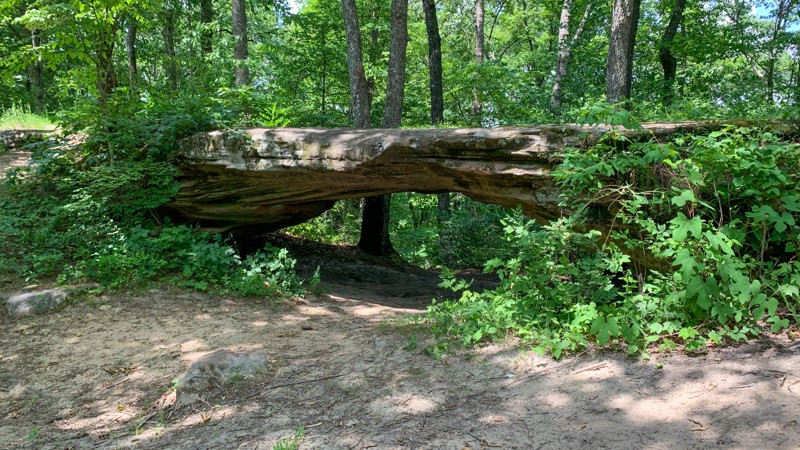
Dog Divide is a 5.3-mile long trail winding through the Daniel Boone National Forest in southern Kentucky. It is well-maintained gravel with nothing in the way of obstacles. A rock arch greets you alongside the trail with a small pullout to stop and enjoy this rare, unique feature. No camping was observed along this trail.

Kentucky: Sulphur Branch Hero Photo
Scout Route Icon
1/5 (1 reviews)
Updated: 10/15/2024
Sulphur Branch
Salt Lick, Kentucky
Sulphur Branch leaves pavement and gains elevation before branching off to an equestrian camp. The gpx track included the spur to the White Sulphur Horse Camp. The trail continues to a parking lot for the 124 ATV and Motorcycle Trail. There are good views of the surrounding hills from the equestrian camp. The only camping is at the equestrian campground.
Kentucky: Dodd's Ridge Road Hero Photo
Scout Route Icon
5/5 (1 reviews)
Updated: 10/15/2024
Dodd's Ridge Road
Cambridge Shores, Kentucky
Dodd's Ridge Road provides a good adventure in an area with mostly gravel roads. This one is rutted, muddy, and less used than most. The ruts are so deep that you can see evidence of years worth of bypasses created to avoid them. When wet, it would be best to travel in a group and have recovery gear. There was one remote, dispersed campsite well hidden off the main road at the beginning of the trail at the western end.
Kentucky: Colson Hollow Road Hero Photo
Scout Route Icon
5/5 (1 reviews)
Updated: 10/15/2024
Colson Hollow Road
Fenton, Kentucky
Colson Hollow Road is located in the Kentucky portion of Land Between the Lakes (LBL). It is accessible off of the main trail, Woodland Trace 100, which runs the entire length of LBL. At the end of Colson Hollow Road is a large camping area with several picnic tables, a restroom facility, and access to The Tennessee River. Campers have the opportunity to camp in just about any area within the park. But, please familiarize yourself with LBL’s camping costs and policies. There is no cost to drive this trail. Camping Permits are $20 for those over 18. Those under 18 do not need a permit. LBL is a 40-mile long peninsula that offers hiking and horse trails, 300 miles of undeveloped shoreline, mountain biking trails, 400+ miles of scenic roads, and over 1400 campsites. If you’re one of the 1.5 million people who visit LBL every year, make this trail a part of your visit.
Kentucky: Racetrack Hollow Hero Photo
Scout Route Icon
4/5 (2 reviews)
Updated: 10/15/2024
Racetrack Hollow
Rockcastle, Kentucky
Racetrack Hollow is a gravel and hard-packed dirt road that leads to Curry and Racetrack Hollow. As you descend into the hollows, Chinese Bushclover lines the road with green. Oaks tower above you. Just before it joins Black Mail Route Road, the trail crosses Fulton Creek, where the road has been washed out due to storms. Possibly this section changes after any heavy rain event. 4WD is highly recommended to get over the creek and washouts. A good dispersed campsite is located just as you turn south on Black Mail Route.
Kentucky: Eagle Point Road Hero Photo
Scout Route Icon
5/5 (1 reviews)
Updated: 10/15/2024
Eagle Point Road
Fenton, Kentucky
Eagle Point Road is located in the Kentucky portion of Land Between the Lakes (LBL). It is accessible off the main trail, Woodland Trace 100, which runs the entire length of LBL. Eagle Point Road is well maintained, except for a few ruts towards the end. Also, at the end is a view of The Tennessee River. Campers can camp in just about any area within the park. There are campsites along this trail. Before making plans, familiarize yourself with LBL’s camping costs and policies. Camping Permits are $20 for those over 18. Those under 18 do not need a permit. LBL is a 40-mile long peninsula that offers hiking and horse trails, 300 miles of undeveloped shoreline, mountain biking trails, 400+ miles of scenic roads, and over 1400 campsites. If you’re one of the 1.5 million people who visit LBL every year, make this trail a part of your visit.
Kentucky: Cold Hill Hero Photo
Scout Route Icon
1/5 (2 reviews)
Updated: 10/15/2024
Cold Hill
Buch, Kentucky

Cold Hill is a gravel-based through trail with no obstacles or notable points along its 1.9-mile length. This is an excellent trail to give you access to many others in the area. Camping was not observed anywhere along the trail.

Kentucky: Lick Branch Hero Photo
Scout Route Icon
2/5 (2 reviews)
Updated: 10/15/2024
Lick Branch
Buch, Kentucky

Lick Branch is a 2.5-mile long spur with minimal elevation gain. There are no obstacles along its maintained gravel surface, making it an excellent trail for beginners to stretch their legs in the Daniel Boone National Forest. There were no camping options spotted along this trail.

Kentucky: Woodson Chapel Road Hero Photo
Scout Route Icon
3/5 (1 reviews)
Updated: 10/15/2024
Woodson Chapel Road
Cambridge Shores, Kentucky
Ending at the Woodson Chapel Cemetery, the road travels mainly through a healthy forest with a solid tree canopy mostly of hardwoods. The forest is broken up by prairie areas, making the drive a little more interesting. There is no camping found along the route.
Kentucky: Clear Creek Campground Hero Photo
Scout Route Icon
4.5/5 (4 reviews)
Updated: 04/15/2025
Clear Creek Campground
Sudith, Kentucky
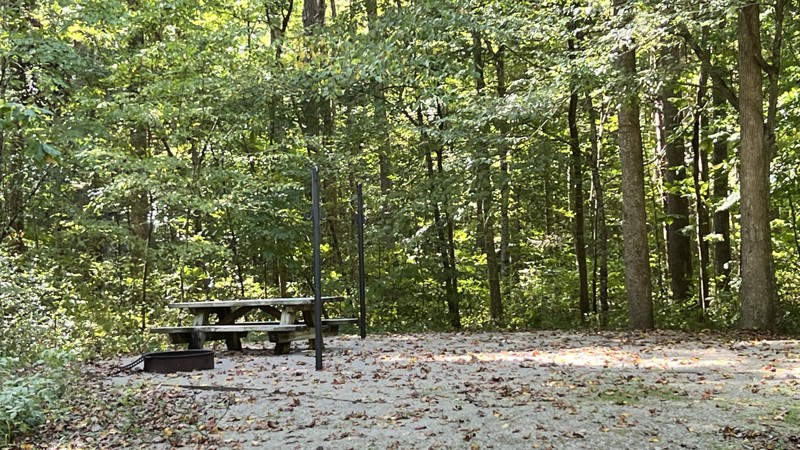
Just off the Zilpo National Forest Scenic Byway, Clear Creek Campground provides overlanders a place to stay if they have difficulty finding dispersed camping or do not want to deal with the larger, improved campgrounds. At this campground, the sites are situated further apart, and the ones on the west side along the creek are the most scenic. There are vault toilets. Each site has a table, tent pad, and a pole to hang a lantern. The campground is first-come, first-serve. Beware of bears!
Kentucky: Miller Fork Road Hero Photo
Scout Route Icon
4/5 (1 reviews)
Updated: 10/15/2024
Miller Fork Road
Airedale, Kentucky

Miller Fork is an access road leading to the Miller Fork Recreational Preserve parking lot. Acquired in 2013 by the Red River Gorge Climber's Coalition, this 309-acre MFRP offers spectacular rock climbing with nearly 30 crags and over 500 routes. The road to the parking lot is a gentle drive along Hell's Creek, down a gravel road with occasional potholes and slight dips that can often be filled with several inches of water. Parking can be tight on busy weekends, so be sure to plan accordingly. There is one pull-off with a fire ring along the road, but the camping legality of that spot is unknown, as the road travels entirely through privately owned property. Thus, users should assume camping is not allowed.

Kentucky: Leatherwood Fork Hero Photo
Scout Route Icon
4/5 (2 reviews)
Updated: 10/28/2024
Leatherwood Fork
Nada, Kentucky

Leatherwood Fork is a dead-end spur road off Indian Creek Road that follows Indian Creek for less than a mile. The road surface is hard, compact gravel, and suitable for any vehicle. The creekside views along Leatherwood Fork are incredibly scenic, and the birds are constantly chirping in the area, giving it a very peaceful vibe.

There are several campsites along the road. All require leaving your vehicle on the road and hiking a short distance to the campsite. This is not a good road for camper trailers. The road ends abruptly with no good turnarounds. Thus, trailers would have to back up long distances.

Kentucky: Black Mail Route Hero Photo
Scout Route Icon
3/5 (1 reviews)
Updated: 10/15/2024
Black Mail Route
Wildwood Hills, Kentucky
Black Mail Route is a mostly gravel road that generally travels north-south. The trail travels through forested areas and pops in and out of prairie areas. It is an uneventful road until you get to Fulton Creek, where the road can be washed out. Just around the creek crossing, you pass through Racetrack Hollow. One dispersed campsite can be found near the creek. High clearance is recommended for the washout area.
Kentucky: Clear Creek Furnace Hero Photo
Scout Route Icon
4/5 (1 reviews)
Updated: 10/15/2024
Clear Creek Furnace
Sudith, Kentucky
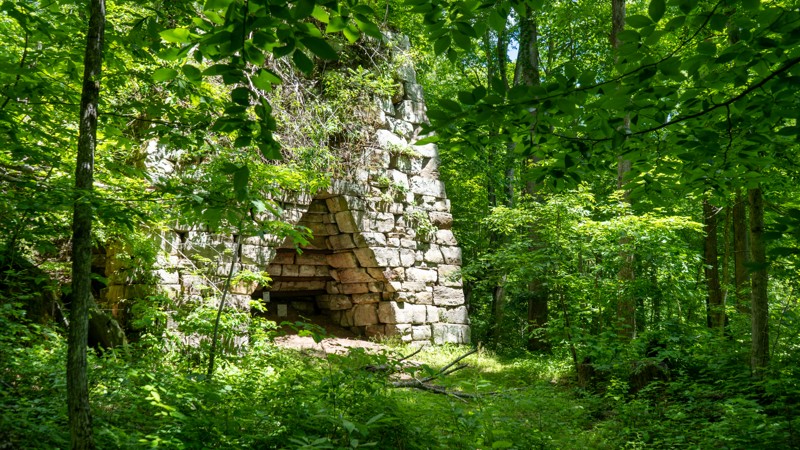
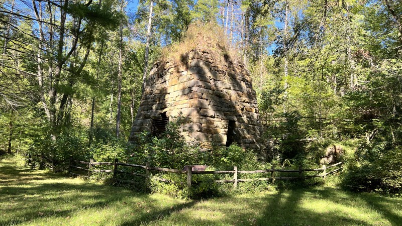
Typically, the little side roads that lead to picnic tables are not worth exploring. This one is a bit different since it has historical value. Known for its high output, the Clear Creek Furnace was built in 1839 by W. A. Lane and W. S. Allen. The furnace operated until its last blast in 1875. Production of iron at the location ceased from 1857 until 1873, when the furnace was rebuilt and renamed Bath Furnace. In 1874 alone, the reconstructed furnace produced more than 1,339 tons of iron. It still stands today and is one of the best preserved nineteenth-century Kentucky iron furnaces. This is a day-use area only. Clear Creek Campground is only 2-minutes south.
Kentucky: Kuttawa Landing Hero Photo
Scout Route Icon
4/5 (1 reviews)
Updated: 10/15/2024
Kuttawa Landing
Kuttawa, Kentucky
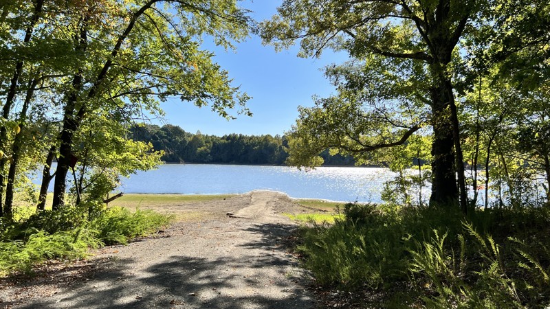
Kuttawa Landing includes two roads, 127 and 127B. Kuttawa Landing provides views and camping on Lake Barkley and Davenport Bay. Traveling down to Davenport Bay, the road will turn paved for a minute before reaching two spacious campsites in the shade and a boat launch. The camping on the north side had little shade, and the views were of civilization across the body of water.
Kentucky: Nickell Branch Road Hero Photo
Scout Route Icon
2/5 (1 reviews)
Updated: 10/15/2024
Nickell Branch Road
Grand Rivers, Kentucky
A simple gravel road leads to the Nickell Branch Campground with views of Lake Barkley and the dam. Site 4 is a good site with a bit of space between you and the other sites. Vault toilets and picnic tables only.
Kentucky: Freestone Hero Photo
Scout Route Icon
1/5 (1 reviews)
Updated: 10/15/2024
Freestone
Clearfield, Kentucky
Freestone is an out-and-back gravel road leading to a parking area for the Limestone Knob and Limestone Biking trails. Rock formations start at the trailhead. However, the trail quickly turns into a winding road through hardwood forests. No camping opportunities.
Kentucky: Pisgah Point Spur Hero Photo
Scout Route Icon
3/5 (1 reviews)
Updated: 10/15/2024
Pisgah Point Spur
Cambridge Shores, Kentucky
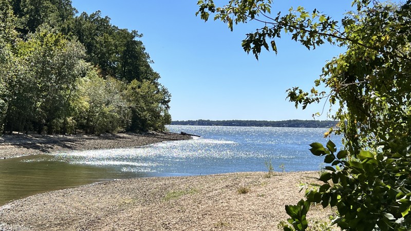
Pisgah Point is an easy gravel road that leads to Kentucky Lake. Along the way, it will pass under power lines and through a forest, passing a few secluded campsites before reaching the end at a cemetery, a sizeable dispersed camping area, and a vault toilet.
Kentucky: Willow Creek Hero Photo
Scout Route Icon
3/5 (1 reviews)
Updated: 10/15/2024
Willow Creek
Grand Rivers, Kentucky
You get a fantastic view of Willow Bay on Lake Barkley from the north side. Moving south, you enter the woods, where there is evidence of blow-down from storms. No visible camping spots along the route.
Kentucky: Twin Lakes South Hero Photo
Scout Route Icon
3/5 (1 reviews)
Updated: 10/15/2024
Twin Lakes South
Cambridge Shores, Kentucky
This gravel road will roll up and over hills through the forest and eventually ends at Kentucky Lake. There is space at the end of Twin Lakes South to disperse camp if you have the proper permit. .
Kentucky: Lady Cemetery Hero Photo
Scout Route Icon
3/5 (1 reviews)
Updated: 10/15/2024
Lady Cemetery
Kuttawa, Kentucky
A gravel road that ends at the lake and a cemetery. Along the way, the road had a lovely tree canopy and rolls through hills. One very nice campsite exists 3/4 of the way up on a hill.
Kentucky: Benberry Cemetery Hero Photo
Scout Route Icon
1/5 (1 reviews)
Updated: 10/15/2024
Benberry Cemetery
Grand Rivers, Kentucky
This gravel loop provides access down to the water after it passes by the Benberry Cemetery. The access roads are not on the MVUM and should be only walked, not driven. There are more than 270 known cemeteries in Land Between the Lakes. These cemeteries are remnants of the communities that existed before the creation of Lake Barkley and Kentucky Lake.
Kentucky: Crossroad Church Road Hero Photo
Scout Route Icon
3/5 (1 reviews)
Updated: 10/15/2024
Crossroad Church Road
Kuttawa, Kentucky
A gravel road starts where the Crossroads Church once stood. It leads to a beautiful campsite at Malloy Bay on Lake Beverly. The camp at the end is large enough for 2-3 vehicles and a matching number of small ground tents.
Kentucky: Henderson Chapel Hero Photo
Scout Route Icon
3/5 (1 reviews)
Updated: 10/15/2024
Henderson Chapel
Kuttawa, Kentucky
Henderson Chapel includes road numbers 121A, 121B, and 121C. It starts from Brandon Chapel Road and is immediately muddy and rutted. Commencing, it passes by the Henderson Chapel Cemetery before splitting off for offshoots B and C. Offshoot B, which heads east, gives you a view of Carnack Bay and camping, while offshoot C travels west and also has camping. Both offshoots include a bit of pavement on their steep declines to the water.
Kentucky: Wooldand Road Hero Photo
Scout Route Icon
3/5 (1 reviews)
Updated: 10/15/2024
Wooldand Road
Rockcastle, Kentucky
Used when running other roads in the area to help create a more extended day on gravel and dirt, Woodland provides a pleasant drive through rolling hills through the woods and the prairies. It terminates in the west at a hiking trail.
Kentucky: Green Branch Hero Photo
Scout Route Icon
3/5 (1 reviews)
Updated: 10/15/2024
Green Branch
Confederate, Kentucky
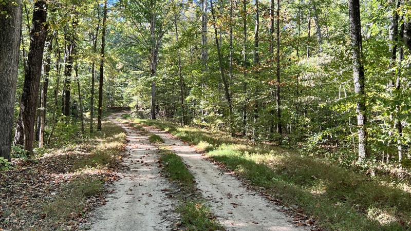
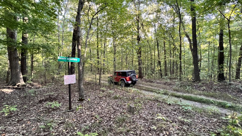
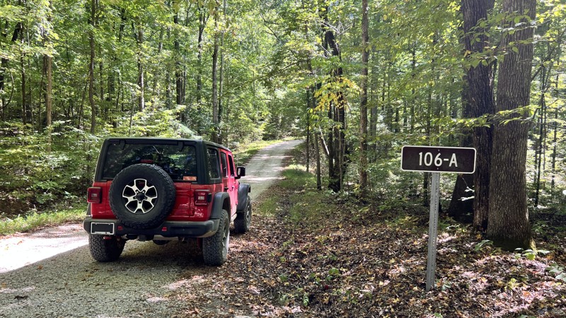
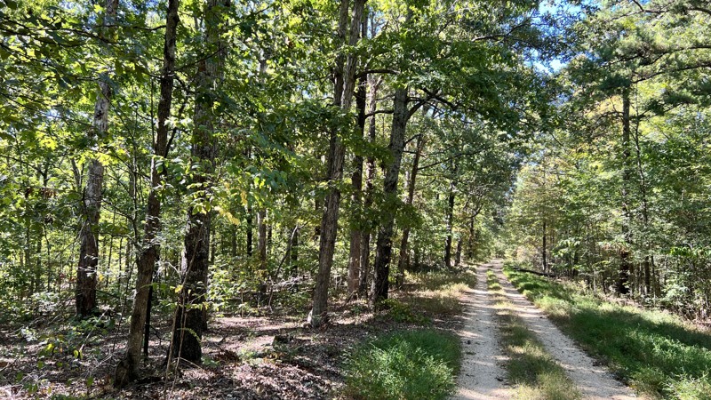
Green Branch is a two-track you can barely see from the main arterial road you would take to get to it. It's lightly used, and you will encounter hidden ruts and minor rocks to climb over. The MVUM shows it ending at the Roach Cemetery, but the road does keep going. This track ends to coincide with the MVUM. No camping was spotted, and there is no camping within the cemetery area. There are more than 270 known cemeteries in Land Between the Lakes. These cemeteries are remnants of the communities that existed before the creation of Lake Barkley and Kentucky Lake.
Kentucky: 105/106 Connector Hero Photo
Scout Route Icon
1/5 (1 reviews)
Updated: 10/15/2024
105/106 Connector
Cambridge Shores, Kentucky
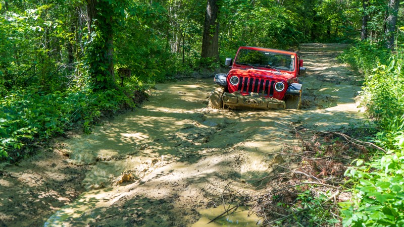
This road connects Twin Lakes South to Lyon County Park Road. It is well-maintained and gravel that any vehicle can drive. Plenty of room for passing. No camping here, but at the end of Twin Lake South there is space for dispersed camping.
Kentucky: Cothran Road Hero Photo
Scout Route Icon
3/5 (1 reviews)
Updated: 10/15/2024
Cothran Road
Kuttawa, Kentucky
A gravel road through a healthy forest, with pine and Chinese Bushclover lining the road. Cothran Road leads to pavement on each end. Some spots may have puddles after rain. No pre-disturbed camping sites were found.
Kentucky: Tower Road Hero Photo
Scout Route Icon
1/5 (1 reviews)
Updated: 10/15/2024
Tower Road
Rockcastle, Kentucky
Tower Road is listed as 310 on the MVUM. The map shows the road going much further. However, the signage in the field varies. This follows the field signage. The trail is an uneventful gravel two-track with views of the forest. No camping was found.