


By clicking "ACCEPT", you agree to be the terms and conditions of each policy linked to above. You also agree to the storing of cookies on your device to facilitate the operation and functionality of our site, enhance and customize your user experience, and to analyze how our site is used.
Missouri Off-Road Trails
4
Total Trail Guides 1

35
Detailed Waypoints 74
Try a Free 7-Day Trial and unlock it all
Start a Free Trial Most Recent Trail Reviews
No Rating
Open
Visited: 08/11/2026
Per the MVUM, the trail is seasonally open. As always, check current fire restrictions/closures before venturing out.


Trails Offroad
Official Crew
Open
Visited: 08/11/2026
Per the MVUM, the trail is seasonally open. As always, check current fire restrictions/closures before venturing out.
Trails Offroad
Official Crew
Open
Visited: 08/11/2026
Per the MVUM, the trail is seasonally open. As always, check current fire restrictions/closures before venturing out.
Trails Offroad
Official Crew
Rated 3/5
Open
Visited: 06/26/2026
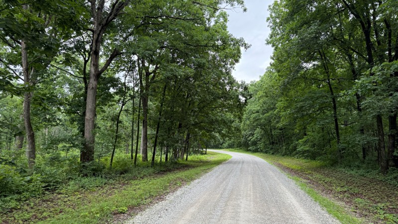
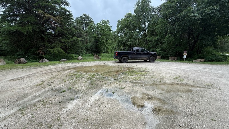
Tower road was an uneventful drive through the forest. The camping areas vary in size from 1-2 vehicles all the way to a large group site and are easily accessible by pretty much any vehicle. Most of ...

Shayne Danielson
Official Crew
Rated 4/5
Open
Visited: 06/26/2026
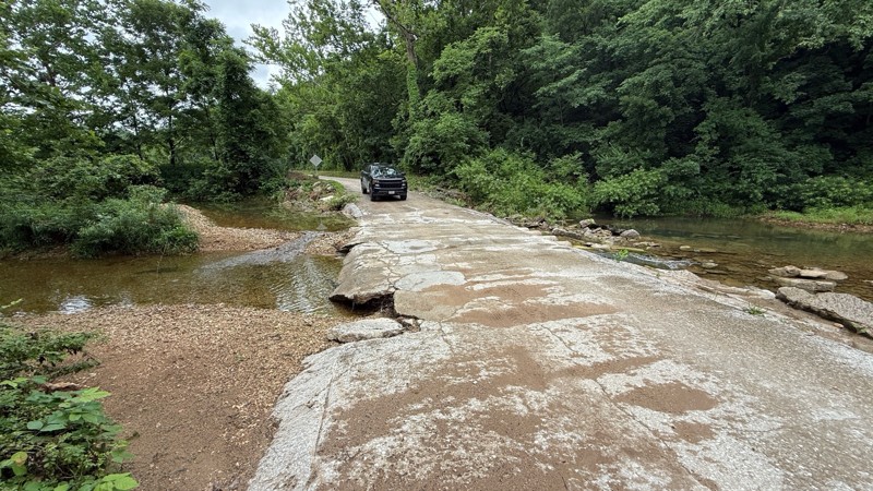
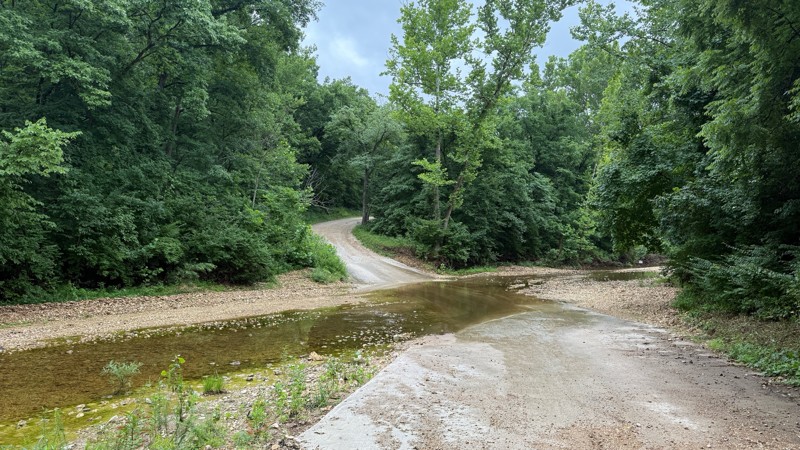
The trail is not demanding at all. I was expecting higher water levels after the area received quite a bit of rain within the last 24 hours. As you can see by the photos, all of the creek crossings we...
Shayne Danielson
Official Crew
Rated 3/5
Open
Visited: 06/26/2026
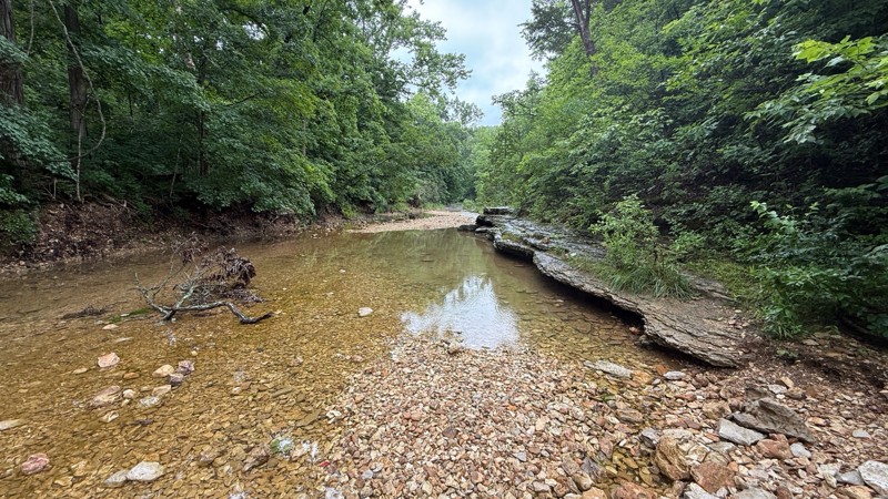
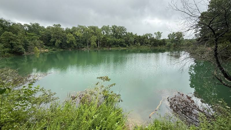
The road itself is a simple gravel road to to drive. The creek bottom has a nice area to have lunch and hike the Lizard Rock Nature Trail and check out the north fork of Charrette creek. Walking in th...
Shayne Danielson
Official Crew
Open
Visited: 06/26/2026
According to MVUM data, this trail should be open for the season.
Trails Offroad
Official Crew
Rated 5/5
Open
Visited: 06/06/2026
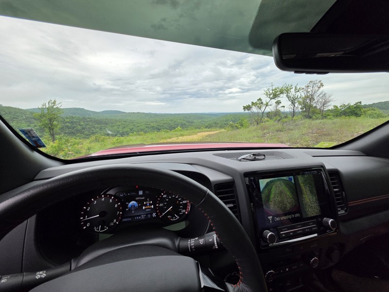
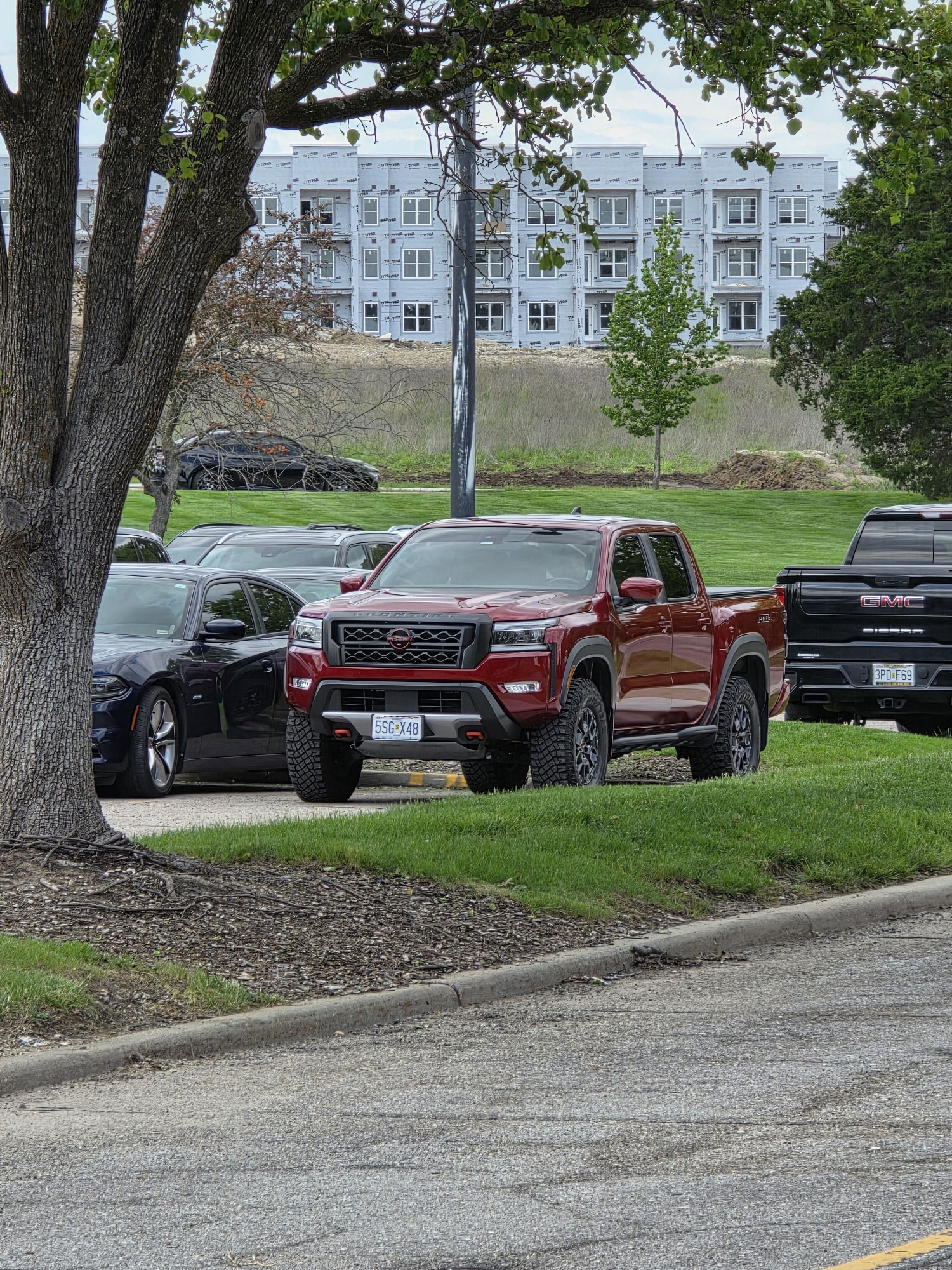
75% of this trail is pretty and difficult-ish but more just bumpy/rocky than anything and not too bad, but the creek bed/bottoms section (north half of west side of map) is TIGHT, my frontier felt hug...
Sean Allen
Open
Visited: 05/22/2026
Busy in the campgrounds but the park is big enough that the trail did not to feel crowded. A nice drive with a couple shelf obstacles. Rained the night before so lots of water. Tree fell in the night ...
TR
Tim Ritchie
Rated 4/5
Open
Visited: 05/16/2026
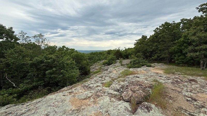
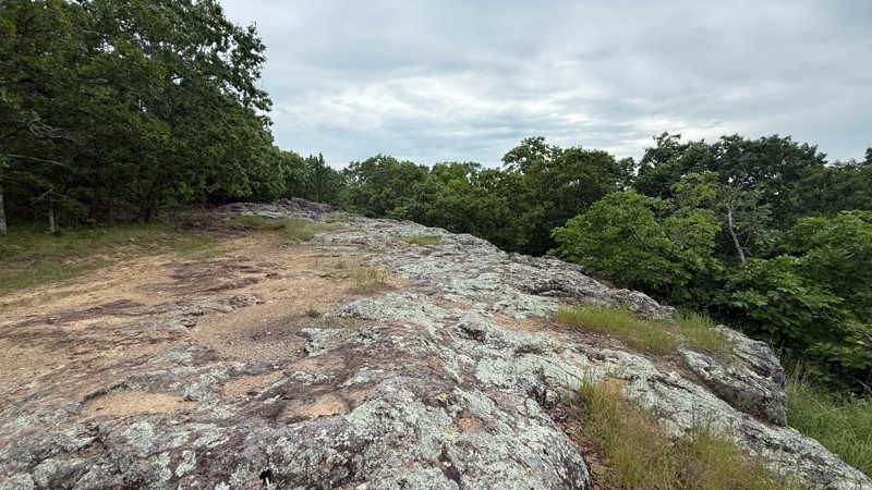
The trail no longer is moderate in difficulty level. Any 2wd vehicle can make it to the top since there are no ruts, puddle holes or any other obstacles. The last part at the top is now blocked off wi...
Shayne Danielson
Official Crew
No Rating
Seasonal Closure
Visited: 03/31/2026
According to this trails management agency, the trail is likely closed for the season.
You can reach out to the agency for more details.
Be sure to leave us a report and let us know ...
Trails Offroad
Official Crew
Rated 5/5
Open
Visited: 03/29/2026
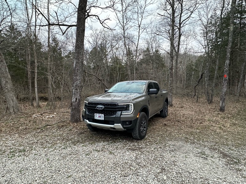
Gravel road that is fairly well maintained, lots of great camping as well as miles of hiking trails. Natural Bridge is easily walked to and a nice side quest to stretch the legs a bit. Large area to p...
A
Adam
Rated 5/5
Open
Visited: 03/19/2026
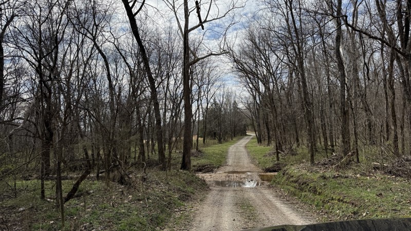
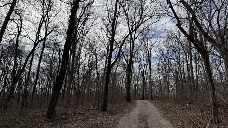
Riverview provides the best camping option in the area! Because of this, I can see it being a popular location. Unfortunately, I was not able to get good photos of the gravel bar since it was occupied...
Shayne Danielson
Official Crew
Rated 4/5
Open
Visited: 03/19/2026
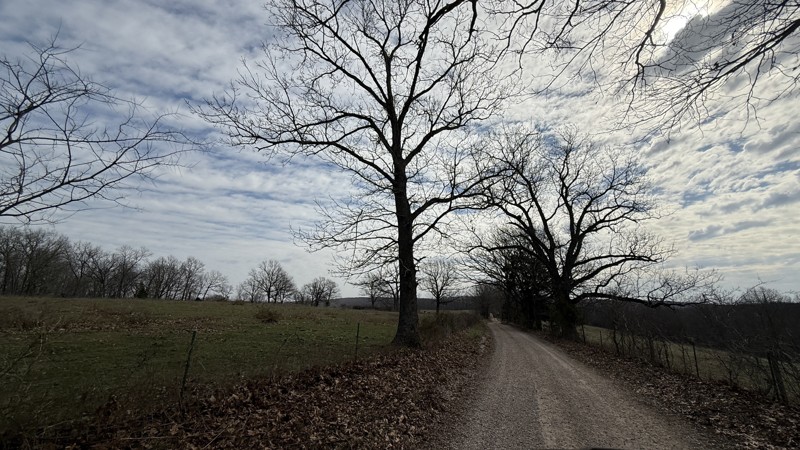
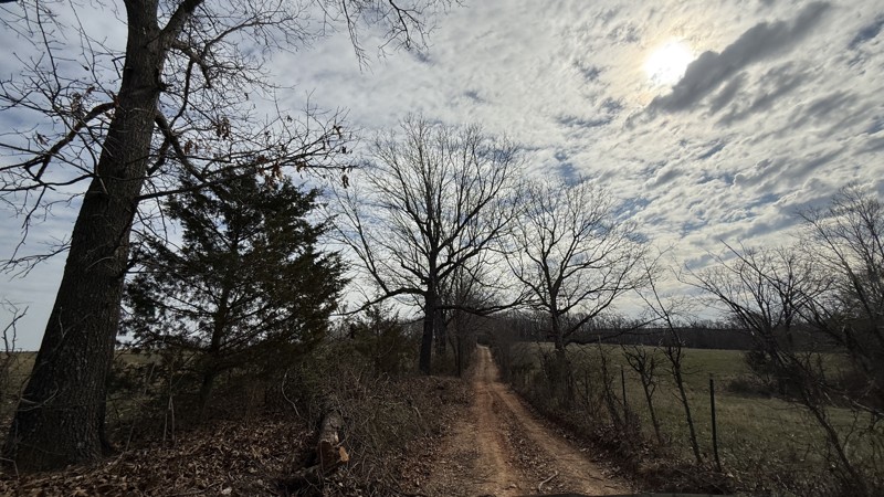
This trail is pretty simple and straight forward. While the campsite is large and flat, I would consider it to be a back up to the large gravel bar located on the the connecting FSR Riverview just sou...
Shayne Danielson
Official Crew
Rated 4/5
Open
Visited: 03/19/2026
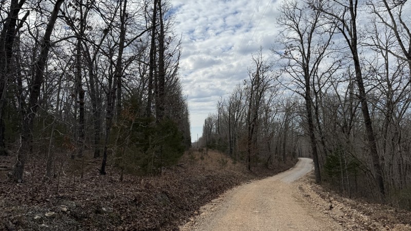
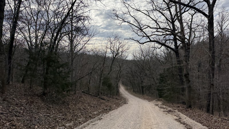
The trail itself is not difficult at all. Aside from some gravel bottomed water puddles, it is not a challenge. The campsites are uneven so it could be a challenge getting level depending on the spot ...
Shayne Danielson
Official Crew
Open
Visited: 03/18/2026
According to Smorr.net, the park is open to the public from Friday through Sunday.

Todd
Official Crew
Rated 4/5
Open
Visited: 03/17/2026
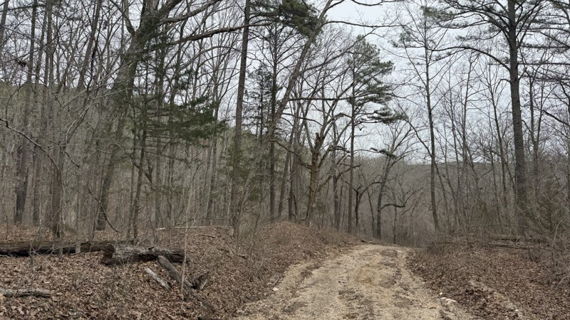
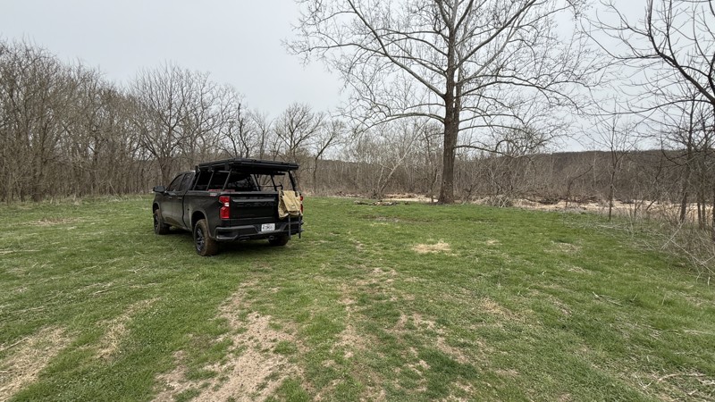
While the trail is short, it does have a large camping area right next to the river. Depending on how much rain the area has had, the mud area at the bottom might not be passable. The only access to t...
Shayne Danielson
Official Crew
Rated 5/5
Open
Visited: 03/17/2026
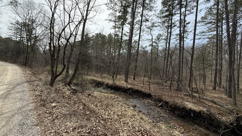
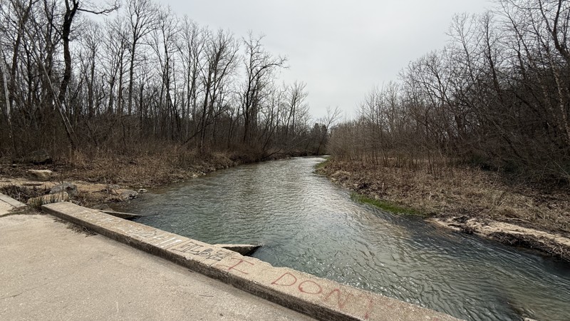
Kaintuck Hollow is a neat area! I am glad I checked out the area. The arch is more like a short through cave that you can hike through. Water was flowing through it when I visited. It has a few tight ...
Shayne Danielson
Official Crew
Rated 4/5
Open
Visited: 03/17/2026
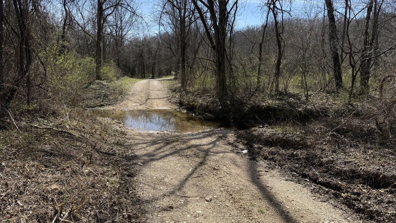
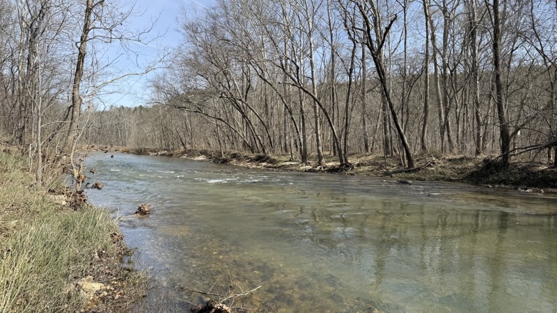
This is an easy trail providing two large waterside camping options. At the time of this review, I would consider the trail to be out and back because 1735A on the southern end was blocked by a signif...
Shayne Danielson
Official Crew
Rated 5/5
Open
Visited: 02/08/2026
For an easy drive, this one was a lot of fun. Nice crossings that got some water up on the hood, and a few spots where you could go through the stream for some extra fun. Nice views and plenty of wild...
MC
Mark Croke
Rated 4/5
Open
Visited: 02/08/2026
Nice ride for a family in the morning. No difficulties on the trail at all. Even with a lot of snowmelt over the past couple of days, the creek was low, and there were only a few splashes at the cross...
MC
Mark Croke
Seasonal Closure
Visited: 12/01/2025
According to this trails management agency, the trail is likely closed for the season.
You can reach out to the agency for more details.
Be sure to leave us a report and let us know ...
Trails Offroad
Official Crew
Seasonal Closure
Visited: 12/01/2025
According to this trails management agency, the trail is likely closed for the season.
You can reach out to the agency for more details.
Be sure to leave us a report and let us know ...
Trails Offroad
Official Crew
Seasonal Closure
Visited: 12/01/2025
According to this trails management agency, the trail is likely closed for the season.
You can reach out to the agency for more details.
Be sure to leave us a report and let us know ...
Trails Offroad
Official Crew
Seasonal Closure
Visited: 12/01/2025
According to this trails management agency, the trail is likely closed for the season.
You can reach out to the agency for more details.
Be sure to leave us a report and let us know ...
Trails Offroad
Official Crew
Seasonal Closure
Visited: 12/01/2025
According to this trails management agency, the trail is likely closed for the season.
You can reach out to the agency for more details.
Be sure to leave us a report and let us know ...
Trails Offroad
Official Crew
Open
Visited: 11/04/2025
The Guard Rail trails starts close the to main office and immediately presents the driver with a steep down grade to reach the creek bed. Correct tire placement is required on two off camber ledges a...

Richard Wooden
Open
Visited: 11/04/2025
This week, we ran Pee Wee’s Crossing long trail running over dirt and rocks or directly through a creek bed. This fall was dry, so the creek was not an issue, and the tree canopy has a range of fall c...
Richard Wooden
Rated 3/5
Open
Visited: 10/04/2025
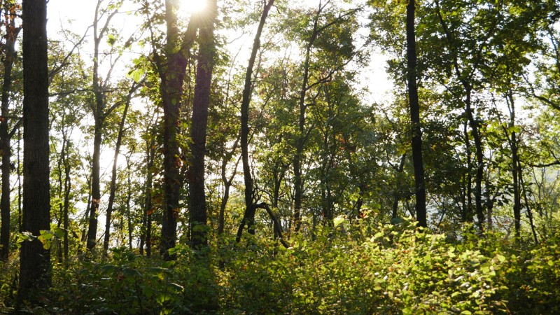
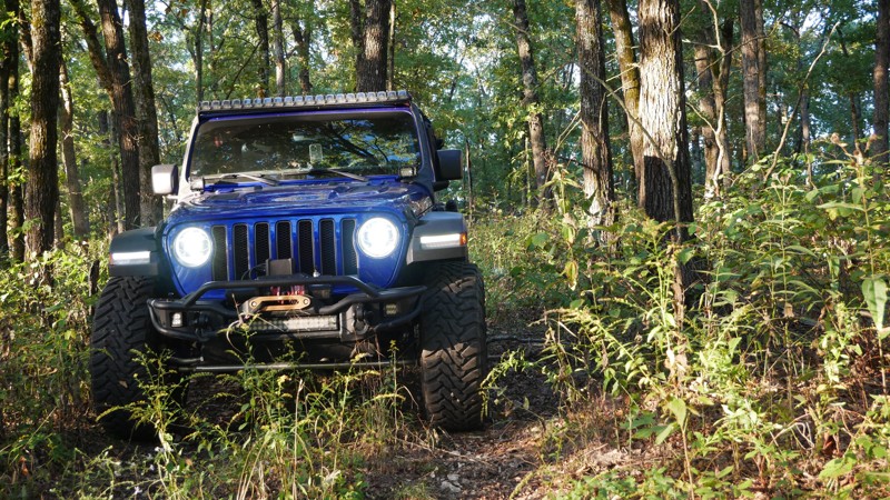
1050 Mountain Maid Road is one of those quiet little gems tucked south of Roaring River State Park, nothing extreme, but full of that Ozark charm. The drive itself is easygoing, but you’ll definitely ...

Brent
Official Crew
Rated 5/5
Open
Visited: 10/04/2025
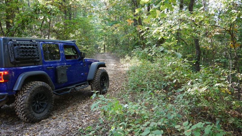
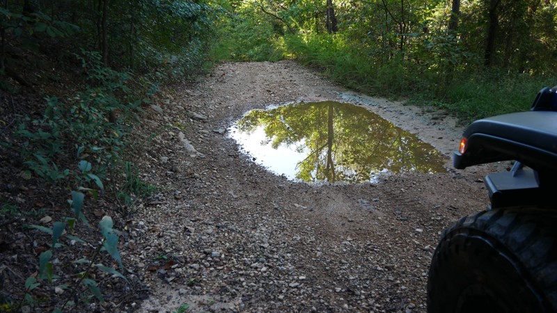
The highlight of the trail is the Radium Springs Well, where remnants of the old stone structure still stand hidden among the trees. It’s an atmospheric spot that connects today’s explorers with a for...
Brent
Official Crew
Rated 5/5
Open
Visited: 10/04/2025
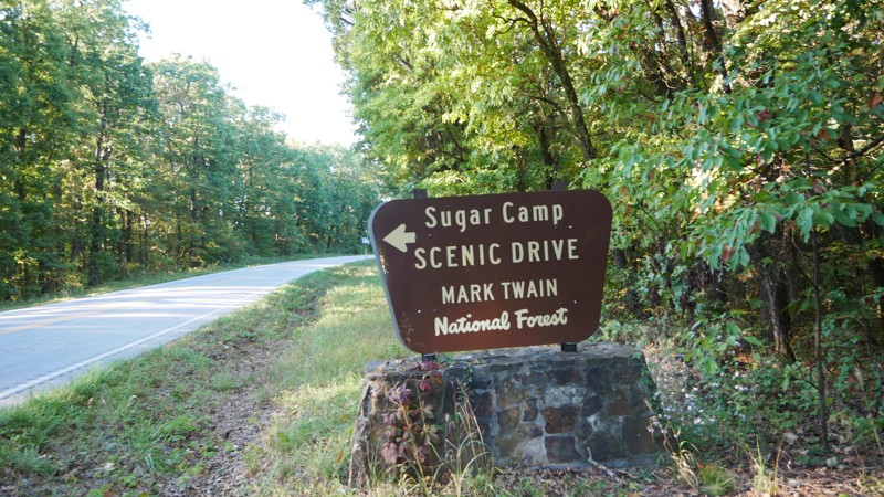
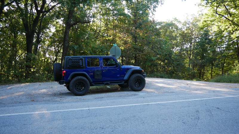
If you’re looking for a relaxed, scenic drive through the Ozarks that still leaves room for exploration, Sugar Camp Scenic Byway delivers. Tucked just south of Roaring River State Park, this gravel ro...
Brent
Official Crew
No Rating
Open
Visited: 05/16/2025
According to this trails management agency, the trail is likely open for the season.
You can reach out to the agency for more details.
Be sure to leave us a report and let us know if...
Trails Offroad
Official Crew
No Rating
Seasonal Closure
Visited: 03/31/2025
According to this trails management agency, the trail is likely closed for the season.
You can reach out to the agency for more details.
Be sure to leave us a report and let us know ...
Trails Offroad
Official Crew
Open
Visited: 03/31/2025
According to this trails management agency, the trail is likely open for the season.
You can reach out to the agency for more details.
Be sure to leave us a report and let us know if...
Trails Offroad
Official Crew
Open
Visited: 03/31/2025
According to this trails management agency, the trail is likely open for the season.
You can reach out to the agency for more details.
Be sure to leave us a report and let us know if...
Trails Offroad
Official Crew
Open
Visited: 03/31/2025
According to this trails management agency, the trail is likely open for the season.
You can reach out to the agency for more details.
Be sure to leave us a report and let us know if...
Trails Offroad
Official Crew
Open
Visited: 03/31/2025
According to this trails management agency, the trail is likely open for the season.
You can reach out to the agency for more details.
Be sure to leave us a report and let us know if...
Trails Offroad
Official Crew
Rated 5/5
Open
Visited: 03/26/2025
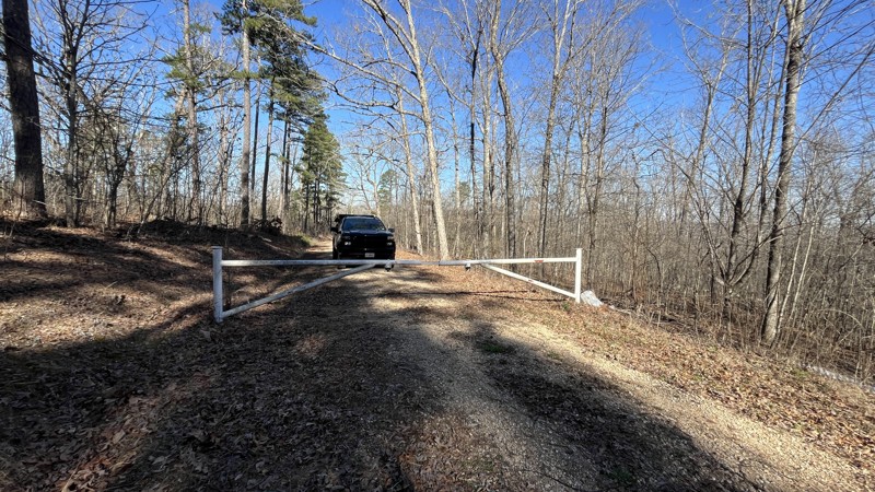
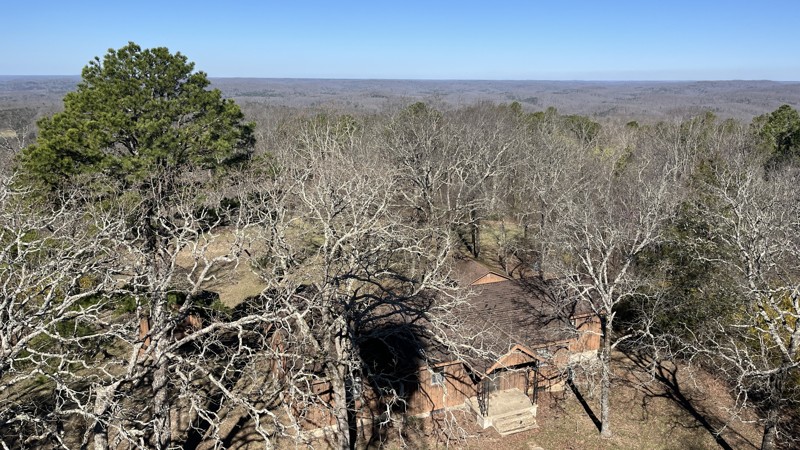
If you are in the area, this is a great place to visit! The views are amazing making it worth the time to check out. There were a few spots with downed trees and tree branches that had been cleared al...
Shayne Danielson
Official Crew
Rated 4/5
Open
Visited: 03/25/2025
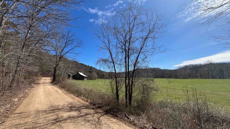
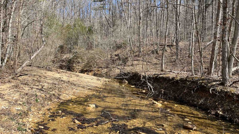
I did a patrol of the trail and took a few more photos. It was an easy drive and all the water crossings were uneventful because the water levels were pretty low.
Shayne Danielson
Official Crew
Rated 5/5
Open
Visited: 03/25/2025
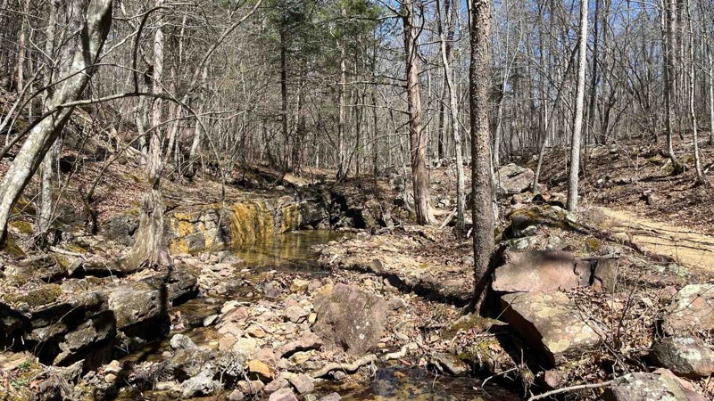
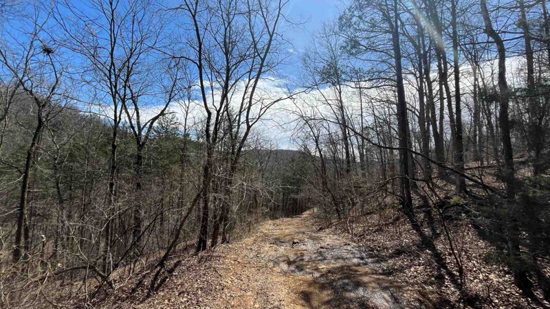
I did a patrol of P-235 to check the conditions of the trail and to add some photos of Colwil Lake. The water crossing at Blair Creek was 12” deep and had plenty of loose rock. This is where you will ...
Shayne Danielson
Official Crew
Rated 3/5
Open
Visited: 03/25/2025
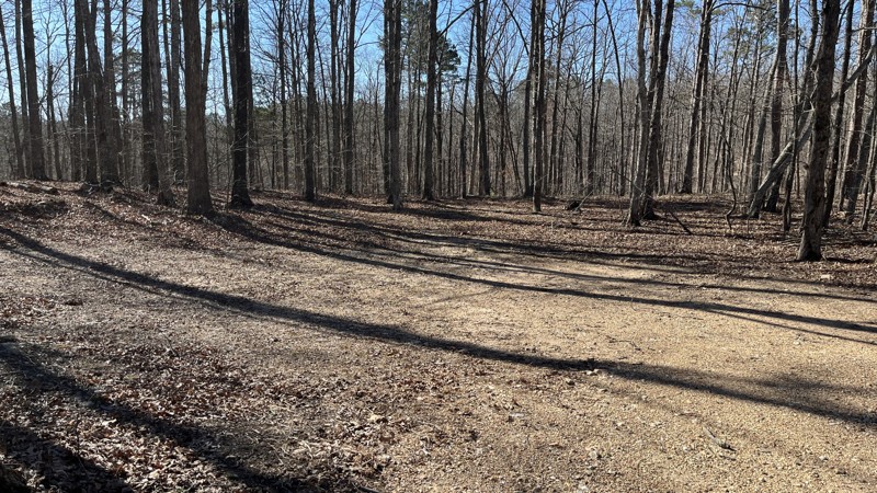
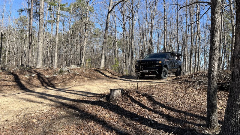
If you are looking for a good forest drive, this is the trail for you. Glimpses of the valley below with the Current River and Big Creek can be seen through the trees in places. There has been a decen...
Shayne Danielson
Official Crew
Rated 5/5
Open
Visited: 03/25/2025
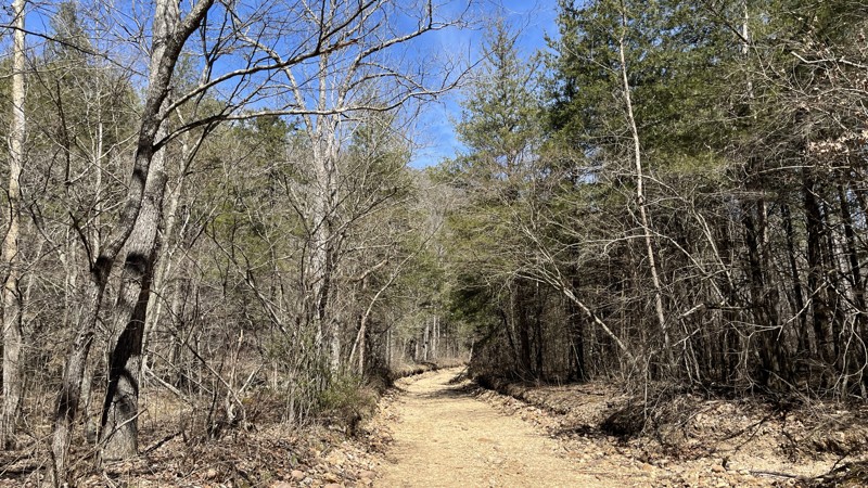
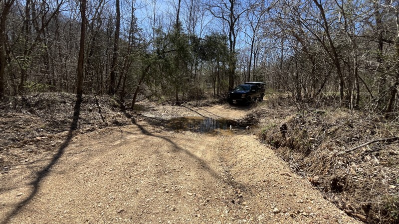
I enjoyed the trail for sure with the best parts being the water crossings in the valley. There hasn't been much rain lately which made the water crossings uneventful. If there has been a good amount ...
Shayne Danielson
Official Crew
Rated 5/5
Open
Visited: 03/25/2025
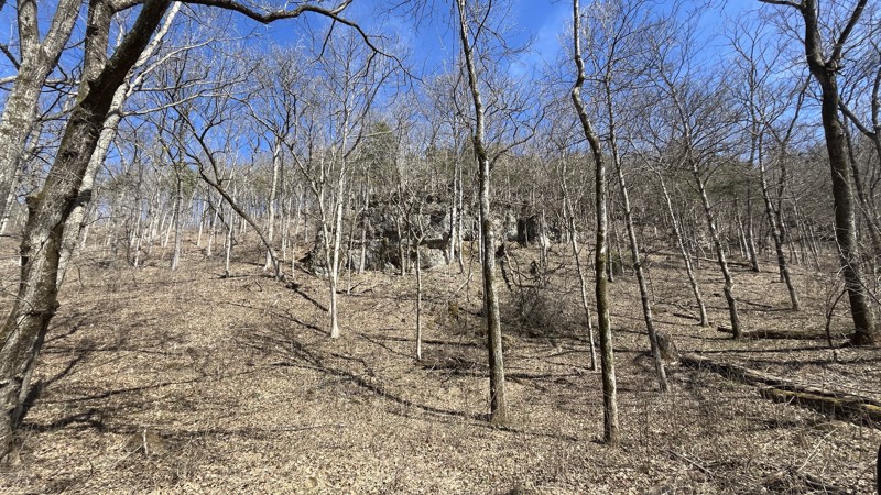
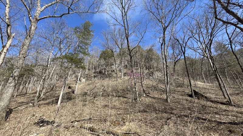
Blue Spring did not disappoint! The signs stating steep grade were absolutely correct. The cliffs were an unexpected highlight along the drive. The walking trail to get to Blue Spring is short with so...
Shayne Danielson
Official Crew
Open
Visited: 03/07/2025
Park is open for the season.


Ryan Boudreau
Official Crew
Open
Visited: 03/07/2025
Park is open for the season.
Ryan Boudreau
Official Crew
Open
Visited: 03/07/2025
Park is open for the season.
Ryan Boudreau
Official Crew
Open
Visited: 03/07/2025
Park is open for the season.
Ryan Boudreau
Official Crew
Open
Visited: 03/07/2025
Park is open for the season.

Ryan Boudreau
Official Crew
Open
Visited: 03/07/2025
Park is open for the season.
Ryan Boudreau
Official Crew
Most Popular


Updated: 04/22/2024
PeeWee Crossing - Southern Missouri Off-Road Ranch
Open
/
Seymour, Missouri/
1.87 miles/
About 2 hours
Besides being the first Badge of Honor trail you will likely hit within Southern Missouri Off-Road Ranch, PeeWee Crossing is one of the longest trails in the park. It is a great introductory trail to wheeling within SMORR. Several large ledges with bypasses make this an ideal beginner trail to test your skills. The trail travels along a scenic streambed along the park's north side and offers access to over a dozen more difficult trails where you can continue to develop your offroad prowess.

Updated: 04/18/2024
Guard Rail - Southern Missouri Off-Road Ranch
Open
/
Seymour, Missouri/
0.48 miles/
About 30 minutes
Like a mini amusement park log ride, Guard Rail wastes no time getting to the action. This Jeep Badge of Honor trail drops a steep grade, meanders through a hardwood forest creekbed, and ends the same way it started, with a steep, long, and potentially challenging grade. This fun, scenic trail, located within Southern Missouri Off-Road Ranch, is a great trail to test your abilities and build your confidence for tackling larger hill climbs you can find throughout the ranch.

Updated: 02/05/2025
Cougar Crossing - Southern Missouri Off-Road Ranch
Open
/
Seymour, Missouri/
1.01 miles/
About 30 minutes
Located only an hour east of Springfield, Cougar Crossing is a stock-friendly trail that is a great way to familiarize yourself with your vehicle's capabilities and Southern Missouri Off-Road Ranch. As you navigate the ever-changing contours of the ranch, this trail will have you winding and weaving through tight foliage and navigating a symphony of ascents and descents. Each hill conquered will become a testament to your adventurous spirit and leave you craving to experience more.

Updated: 04/18/2024
Rocker Knocker - Southern Missouri Off-Road Ranch
Seymour, Missouri
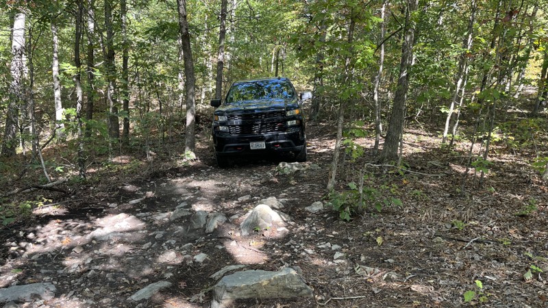
If you are looking to spice up your SMORR adventure, then maybe you should check out Rocker Knocker. Not to be confused with the obstacle in Moab, Rocker Knocker in Missouri is a tough trail that will likely put drivers to their test as they navigate this trail. Two obstacles will push you and your nerves to compete. Not to give anything away, most wide stance vehicles can do this trail, but you will have to earn it. If you are looking for challenges, check out this trail.

Updated: 10/15/2024
Karkaghne Scenic Drive
Greeley, Missouri
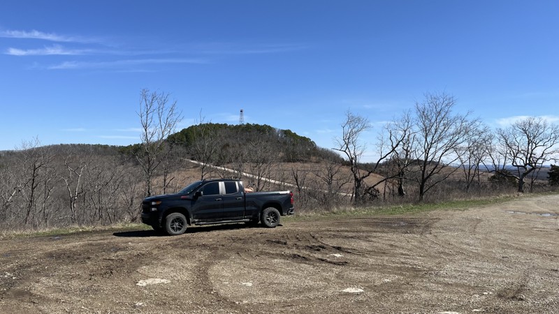
Karkaghne Scenic Drive is an overall easy drive through the Mark Twain National Forest, aside from one moderate part needing 4WD and clearance. A massive sinkhole is a few hundred feet across and roughly 150 feet deep. Because of this, concrete barriers block the road on either side since the hole is expanding to eat away the road. An unimproved bypass allows for travel. However, it has large rocks, so 4WD and higher clearance may be needed depending on the line taken. For those interested in history, this route is in the general area of the Trail of Tears. Multiple county and Forest Service roads are allowing for further exploration. While there are not many campsites directly off the road, there is a good-sized open area on the south side of the sinkhole. The trail's southern end is pavement until it connects with State Highway 21.
Updated: 06/09/2025
Glade Top Trail
Smallett, Missouri
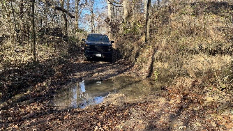
The Glade Top Trail is part of a National Forest Scenic Byway as it meanders through the Mark Twain National Forest Southeast of Springfield, Missouri. The route follows a ridge line with great views of the surrounding countryside. If the weather is good, one can even see into Arkansas on the horizon 40 miles south. There are several overlooks with open areas comprised of limestone and dolomite formations mixed in with woodlands. Near Caney Picnic Area, an old fire tower is no longer used. The tower is fenced off, and climbing it is prohibited.
Additionally, there is a small cave next to the Caney Picnic Area with a short trail to a small entrance. Several campsites can be found to accommodate small or large groups. If you are in the area, this is an easy trail worth visiting.
Updated: 04/29/2025
CR P-235
Melton, Missouri
County Road P-235, on the northern end, starts in the Mark Twain National Forest and then transitions to the Roger Pryor Pioneer Back Country for most of the trail. The southern end, where the road parallels the Current River, is part of the Ozark National Scenic Riverways. Traveling from north to south, it starts as a gravel road on a ridge line. Just before approaching the Current River, there is a steep descent into the valley, where the condition of the decent gravel road begins to get rough with ruts and small rocks. Once at the bottom, there are stream crossings, mud puddles, and dirt. Colwil Lake is worth checking out as there are a few access points along the road and campsites. Once the trail turns back north, it gets a moderate rating due to several water crossings along unnamed creeks, with the final crossing being Blair Creek. Loose rock and varying water depths create challenges, so 4WD is undoubtedly needed. Depending on the time of year, the water depth and width vary at the crossings, so beware. The trail gets tight in a few places, so expect pin striping.
Updated: 02/11/2026
Lost Creek Road
Macedonia Neighborhood, Missouri
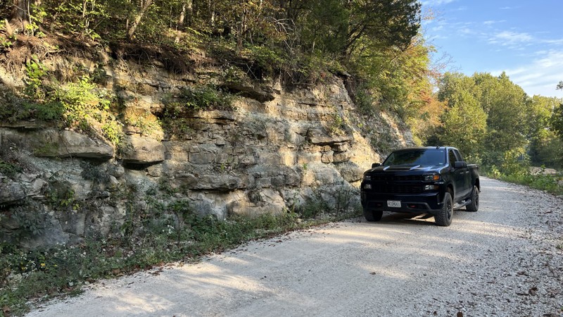
Lost Creek Road is a great road to check out. The northern end of the road is pavement that transitions to gravel. There are several water crossings on the route. Water levels vary depending on the weather activity and time of year, so be cautious at the crossings. There is a waterfall right next to the road when the water is high. No cell service is available along the trail.
For a country road, it is worth the time to check out. Turkey, deer, and eagles are often seen along the trail. Old barns and other structures add a rustic feeling. The trail passes through private property, so you must stay on the road. No camping is available.
Updated: 02/11/2026
Massas Creek Road
Case, Missouri
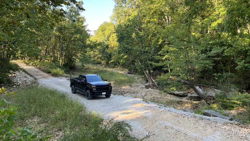
Running between Joneburg and Highway 94, Massas Creek Road is an easy drive for those looking to get out for an afternoon on the trail. There are water crossings, so beware of the weather as water levels vary. On either side of the road is private property, so there is no camping, hiking, or getting out to wander around. The ends of Massas Creek Road are pavement that transitions to gravel. There are large, impressive cliffs close to the road. However, many of them are obscured by the vegetation.
Updated: 10/15/2024
Callaway Fork Road
Defiance, Missouri
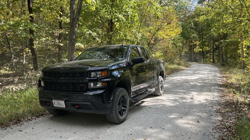
Callaway Fork Road is an easy country road to get off the pavement for a little bit. There are a few water crossings along the route, so be cautious of the weather and time of year as water depth varies. Private property is on either side of the road, with no trespassing signs frequently visible from the road. On the western side of the road, there are several cliffs and rock outcroppings. Many of these features are hard to see if the vegetation is in season. Callaway Fork Road is close to the Katy Trail and the Missouri River, so the area has multiple things to do. Unfortunately, there is no camping along this trail.
Updated: 05/28/2026
CR 283
Midridge, Missouri
The northern end of CR 283 starts in the Mark Twain National Forest and quickly transitions to the Roger Pryor Pioneer Back Country. The trail starts off innocent enough and then drops to the valley, where the real fun begins. Multiple water crossings, mud/water holes, tight spots, and campsites make for a challenging time. Depending on the time of year, water levels vary, so be cautious when attempting the trail due to the number of water obstacles. The Ozark Trail - Blair Creek Section parallels the route the entire time. There are some short side trails available for exploration. CR 283 is worth checking out if you're looking for a challenge.
Updated: 06/29/2026
Charette Creek Road
Concord Hill, Missouri
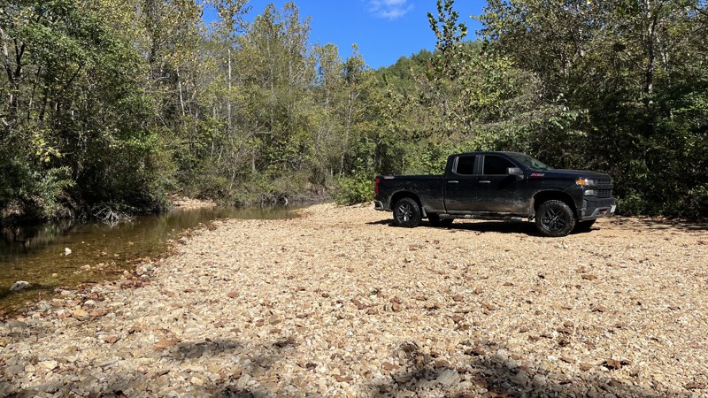
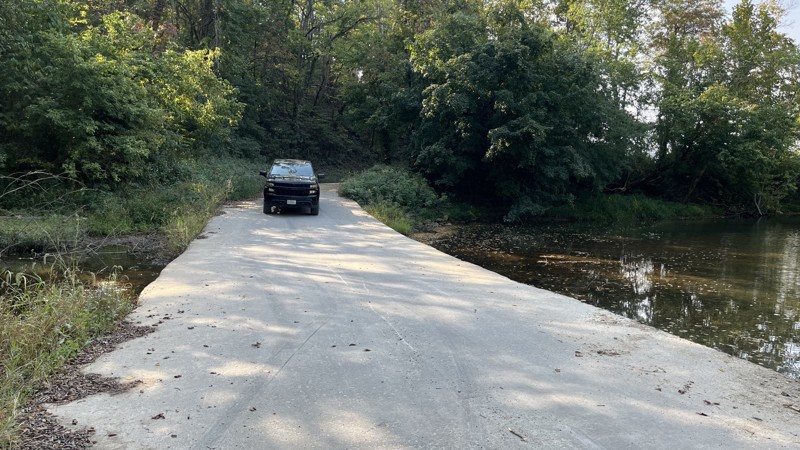
Charette Creek Road is an easy country route. Private property is on either side of the road the entire way, so there is no hiking or camping. Several rustic old barns and other structures are visible from the road. Cell service is spotty. There are a few water crossings, so beware of the weather and time of year as the water levels vary. Wildlife such as turkeys, deer, and birds can be seen easily depending on the time of day. Cliffs are next to the road. However, they are mostly covered in vegetation depending on the time of year.
Updated: 06/10/2026
912
Longrun, Missouri
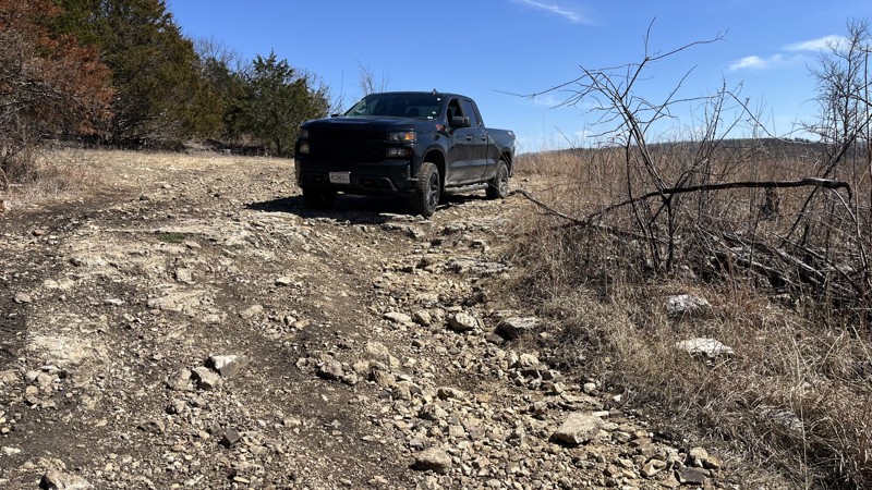
Forest Service Road 912 in the Mark Twain National Forest offers great views, camping, rock obstacles to navigate, and creek crossings along the nearly four miles of its length. On either end of 912, there are simple obstacles on the top of the ridges. However, where the trail climbs or descends offers the most exciting obstacles. While there are a few bypasses, plenty of areas remain to provide a good challenge, especially if the area recently had rain. Expect pin striping and the use of 4LO and lockers depending on the chosen line. Rock ledges up to 24 inches are plentiful, and deep ruts offer the opportunity to flex your rig. This trail is a fun one. If you are up for it, check it out!
The track stops at the USFS MVUM limit on the eastern end. However, the heavily used road continues to connect with Skyline Drive.
Updated: 10/15/2024
Skyline Drive
Longrun, Missouri
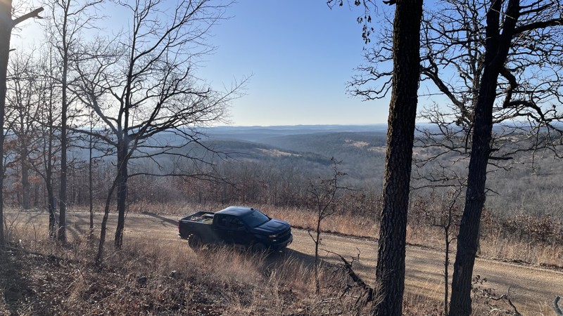
Skyline Drive is part of a National Forest Scenic Byway that snakes through the Mark Twain National Forest Southeast of Springfield, Missouri. The route follows along the ridge line and offers great views of the surrounding countryside. Several campsites can accommodate small to large groups. Side trails drop into the valleys below, begging for further exploration. This trail is a must-see and easy to drive!
Updated: 06/29/2026
Tower Road
Jonesburg, Missouri
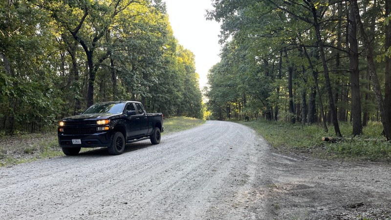
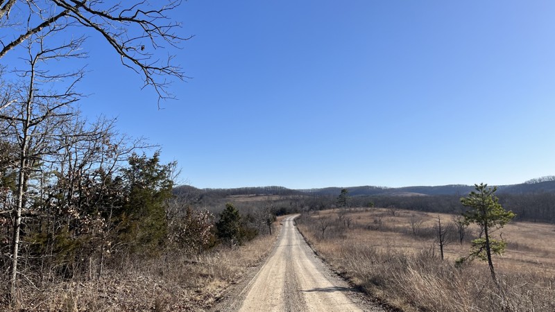
Tower Road is an easy, graded gravel track through the Daniel Boone Conservation Area. There are multiple campsites for one or more vehicles and a larger camping area for groups or trailers on the trail's north end. Fishing is also permitted at the pond next to the large camping area. The area has hiking trails if you want to set out on foot.
Updated: 10/15/2024
Mcadoo
Bradleyville, Missouri
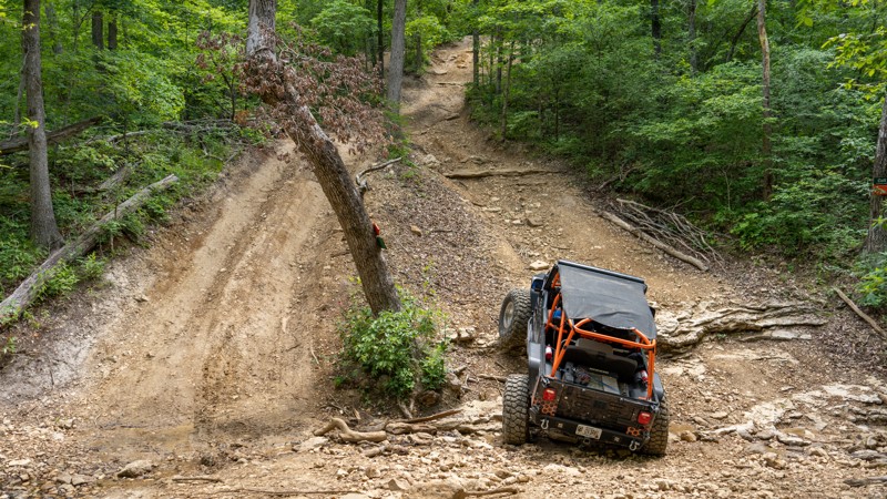
Macadoo, within the Mark Twain National Forest, offers amazing views of the valleys below along the ridge top and open areas. Camping opportunities are plentiful and can handle small or large groups. Several side trails offer further exploration along with hiking. If you are in the area, this is an easy trail worth visiting.
Updated: 09/10/2026
Cold Mountain - Southern Missouri Off-Road Ranch
Seymour, Missouri
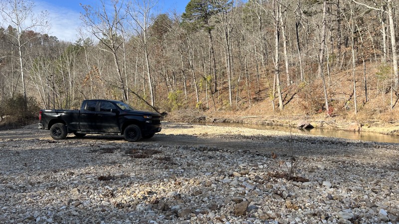
Located within Southern Missouri Off-Road Ranch (SMORR), Cold Mountain is a moderate trail with several short rock ledges, a steep hill climb, and a variety of lines to keep the trail interesting for just about any vehicle. This is a straight-through trail that connects Backwoods Road 1 with Gaucho and is the main access point to the Cougar Crossing Badge of Honor trail. The section of Cold Mountain between Backwoods Road 1 and Cougar Crossing is nothing more than a dirt road. The trail then begins descending 134 feet in 1/10th of a mile and traverses a couple of 10 to 12-inch rock ledges before bottoming out in a ravine and offering several lines back up a steep ascent with optional rock ledges up to 14''. This trail is great for beginners and suitable for an aggressive stock vehicle looking for a challenge. A small lift and larger tires make the trail significantly easier.
Updated: 03/04/2025
CR 242
Owls Bend, Missouri
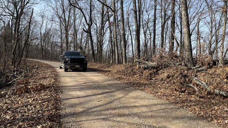
County Road 242 is part of the Roger Pryor Pioneer Back Country area. The southern half of the route follows Blair Creek, while the northern half climbs out of the valley. The water crossings along the creek make this a fun and challenging trail. Expect pin striping as parts of the trail do get tight. The width and depth of the water crossings vary with the time of year and how much rainfall there has been in the area. Campsites are plentiful on the many gravel bars on the creek. The creek crossings are loose gravel, so 4WD is necessary. There are cliffs and rock outcroppings to see along the trail as well. On the southern half, the Ozark Trail - Blair Creek Section follows the route, so be observant for hikers. As the trail emerges from the valley, there are rock formations to check out.
Updated: 10/15/2024
Bidwell Creek Road
Womack, Missouri
Bidwell Creek Road offers an easy drive through the Mark Twain National Forest. There are several campsites and a handful of side trails for additional exploration. Crisscrossing through the area is the John J. Audubon Trail. Generally, the trail follows the top of a ridgeline with potential views through the trees to the valley below. Each end of the trail is private property that is clearly marked. While the trail's northern end shows it can connect to Boyd Road, emplaced barriers prevent it.
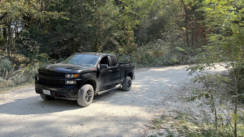
Updated: 06/29/2026
Reifsnider Park Road
Innsbrook, Missouri
Reifender Park Road is an easy out-and-back road through the Reifsnider State Forest. There is hiking, fishing, and shooting available. Camping is only authorized during deer hunting season. There is one creek crossing with variable water levels. There are picnic tables and fire rings available halfway through the track. There is a lot to do in a small area, so check it out!
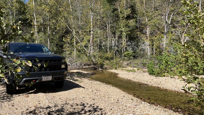
Updated: 10/15/2024
CR-238
Midridge, Missouri
CR 238 offers a challenging trail full of water crossings, water holes, mud holes, tight spots, campsites, and cliffs along Blair Creek in the Roger Pryer Pioneer Back Country. The trail parallels the Ozark Trail - Blair Creek Section the entire way. The water level varies depending on the time of year, so consider this when taking this route. Expect pin striping and bring recovery gear. The junction of CR 283 and 238 has a deep water hole, so beware.
Additionally at the junction, there is a part of 238 that goes up the hill to the northwest. However, there is a sign saying it is closed to motor vehicles. The only way to go is south.
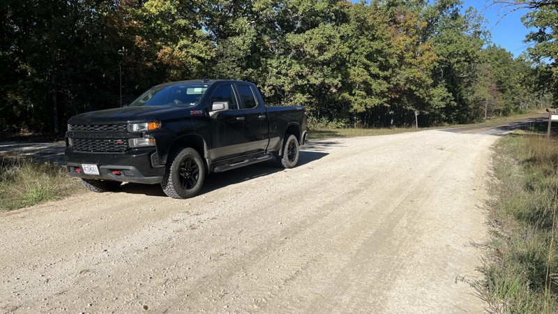
Updated: 10/15/2024
CR 404
Sligo, Missouri
CR 404 wanders directly through the Indian Trail Conservation area. It offers a variety of outdoor activities, including camping, shooting at the range, fishing, hunting, visiting the fire tower, and seeing where the Trail of Tears goes through the area. It is well worth the time to check the area out. Campsites are plentiful, from spots for a couple of rigs to larger ones where several vehicles can fit. The northern end starts at State Highway 19 and connects to other trails in the Mark Twain National Forest to the east and south.
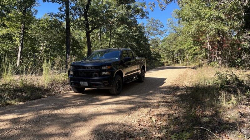
Updated: 10/15/2024
CR 903
Stone Hill, Missouri
CR 903 is an easy drive through the Mark Twain National Forest. Several other county and Forest Service roads branch off for additional exploration. There are campsites close to the main trail, although most are located on the side trails. For those interested in history, this road is part of the area for the Trail of Tears, as shown on signs for the area. It is worth checking out for those looking for a drive in the woods.
Updated: 09/10/2026
Moonshine - Southern Missouri Off-Road Ranch
Seymour, Missouri
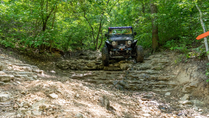
Moonshine is a straight-through, U-shaped trail that starts and ends on Backwoods Road, intersecting with Rattler halfway through. The trail can be run in either direction and offers nearly a perfect mirror of the trail on each side of the U. No matter which direction you travel, you first encounter an extreme off-camber descent down a shade-covered and often muddy trail that leans your top half hard into the surrounding oak trees. You then descend a steep and slippery 5-foot limestone wall, where you cross over Rattler and attempt to climb up a steep and slippery 5-foot limestone wall. To exit the trail, you ascend a shade-covered, often muddy track that leans extremely off-camber into hard oak trees. This trail is best for experienced drivers in heavily modified vehicles with large tires, lockers, and body armor. Vehicles with tops should avoid this trail. Body damage is a high possibility.

Upgrade your Membership
Unlock all of the details on every Trail Guide and Scout Route.
Start a 7-day Free TrialCommunity
Partners

