













By clicking "ACCEPT", you agree to be the terms and conditions of each policy linked to above. You also agree to the storing of cookies on your device to facilitate the operation and functionality of our site, enhance and customize your user experience, and to analyze how our site is used.
Colorado Off-Road Trails
602
Total Trail Guides 575

6450
Detailed Waypoints 568
Try a Free 7-Day Trial and unlock it all
Start a Free Trial Most Recent Trail Reviews
Rated 4/5
Open
Visited: 09/25/2026
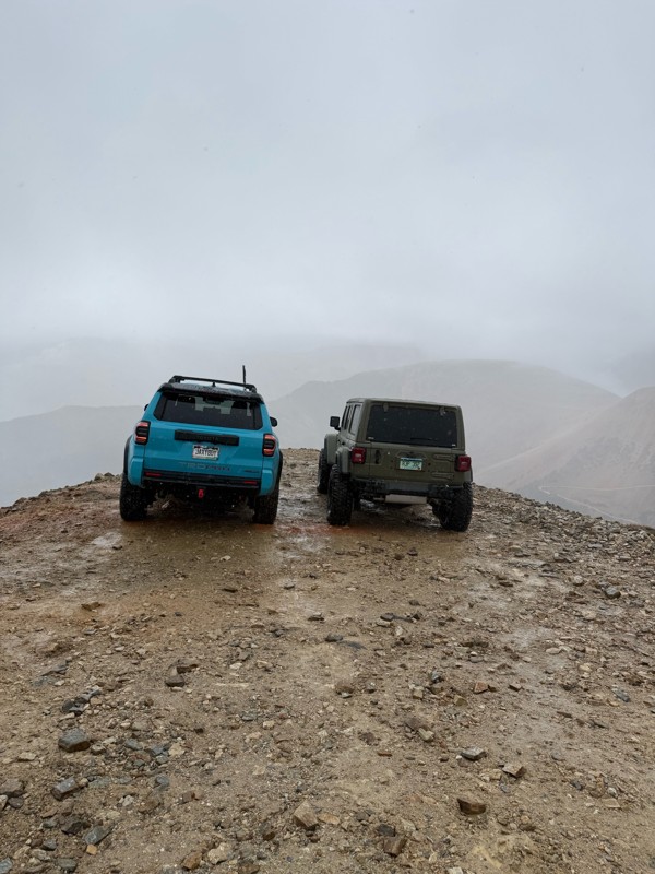
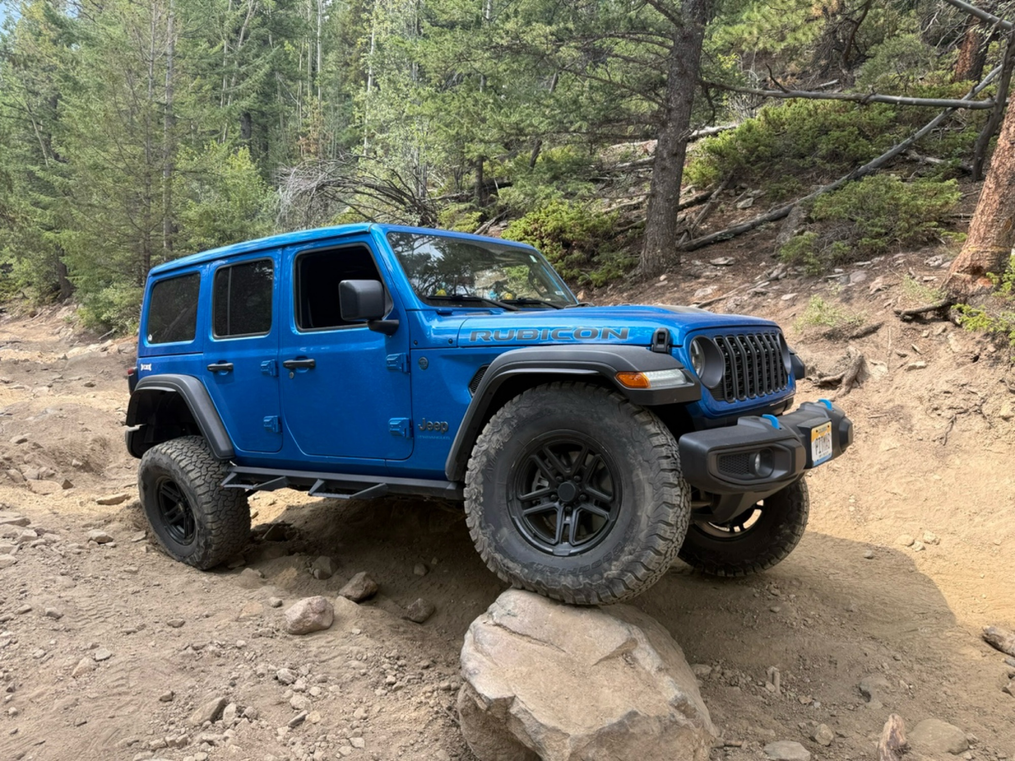
There were definitely some difficult obstacles but nothing you can’t get through with a good line and a spotter. If you don’t like shelf roads DON’T go down Webster pass. As a person who has a fear of...

Tiffani
Rated 5/5
Open
Visited: 09/25/2026
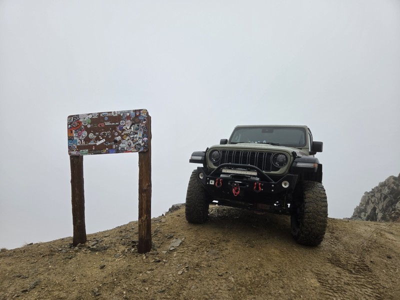
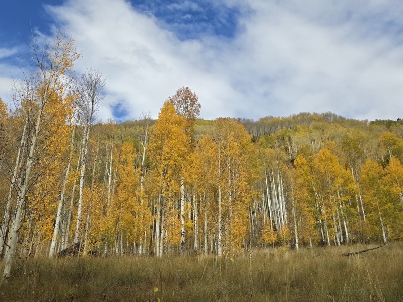
Today was my first time over Pearl Pass, and it won't be my last. The trail is fun and the scenery (what I saw of it) was amazing.
The weather was not good, it missed and rained all the way up the ...
CH
Chris Hebner
Rated 5/5
Open
Visited: 09/25/2026
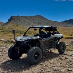
Pretty views but mostly overcast the whole time. No snow up here like there was over at engineer. Bathrooms are closed.
Tyler
Rated 4/5
Open
Visited: 09/25/2026
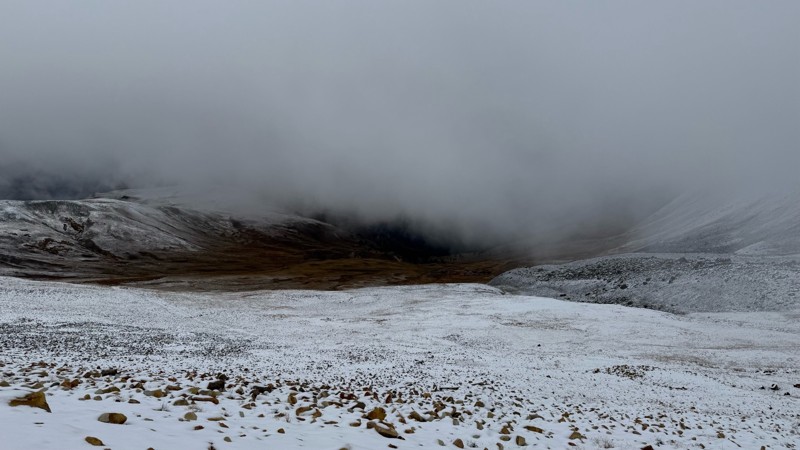
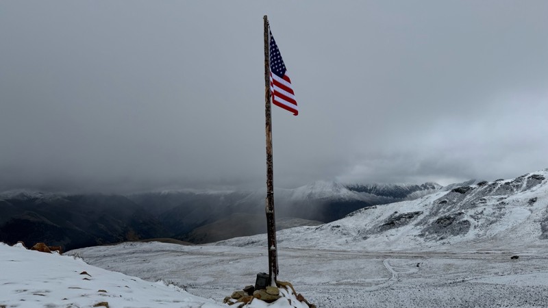
Pretty bumpy with some more rough spots near the top. Has been mostly overcast due to the storms lately. Decent amount of snow up at the top.
Tyler
Rated 5/5
Open
Visited: 09/25/2026
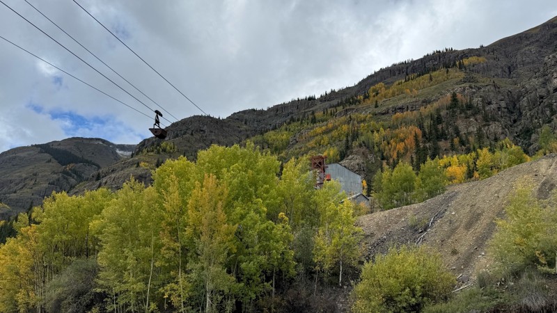
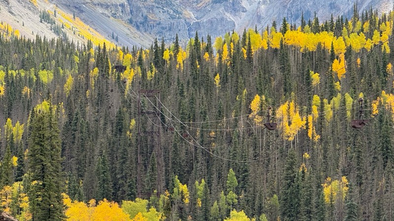
Beautiful fall colors, waterfalls and mining sights. Easy road till you get closer to the pass.
Tyler
Rated 5/5
Open
Visited: 09/24/2026
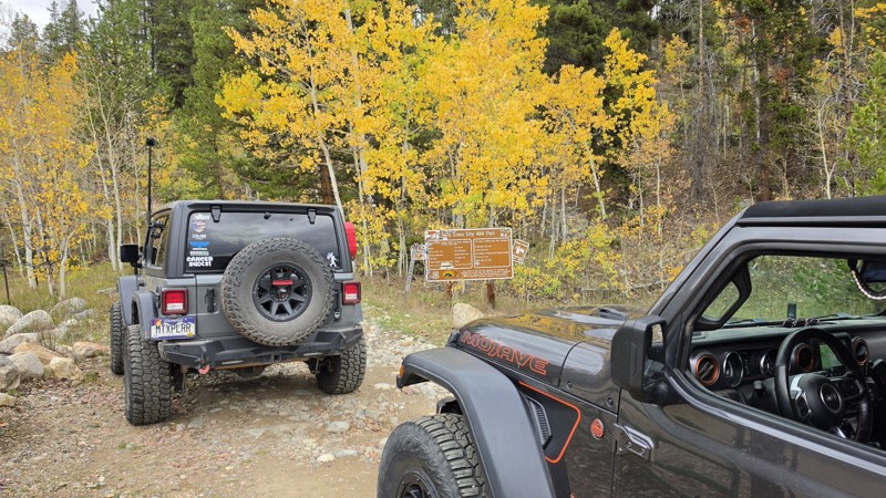
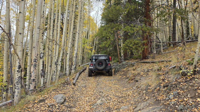
Amazing! Maybe my new favorite trail, at least in Colorado. It was a perfect fall day and no other vehicles on the trail. A bit wet and misty added to the challenge. Pulled line twice mostly because o...

Corey Charlick
Rated 5/5
Open
Visited: 09/24/2026
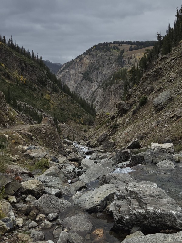
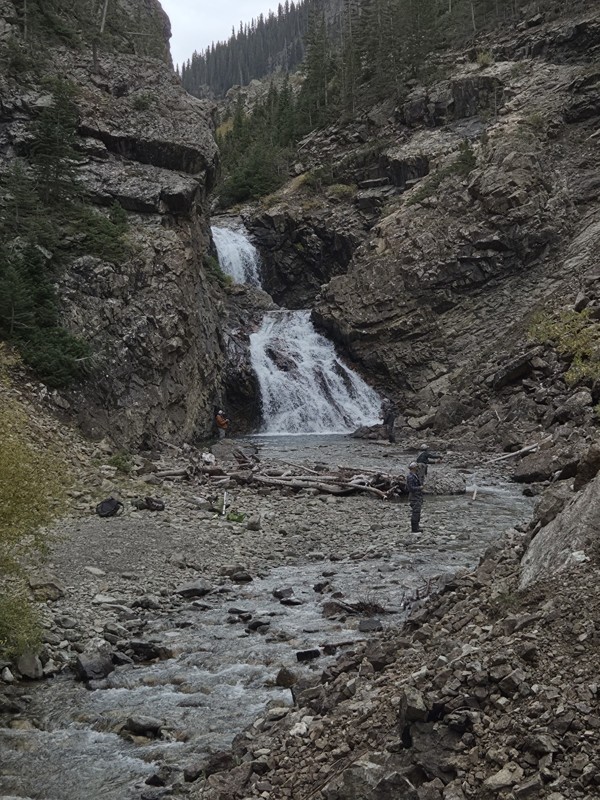
Schofield's reputation is well earned. The shelf roads were sketchy in a few spots, but they were wider than I expected. I was traveling north to south.
Flying solo I was more sketched out for th...
CH
Chris Hebner
Rated 5/5
Open
Visited: 09/24/2026
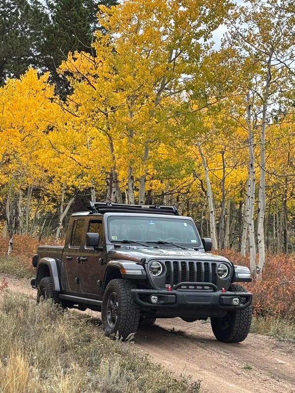
Fun easy trail with great views. Caught the aspens peaking.
LL
Louis L
Rated 5/5
Open
Visited: 09/23/2026
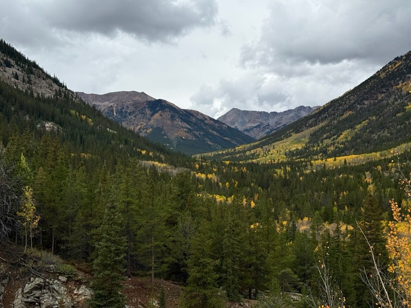
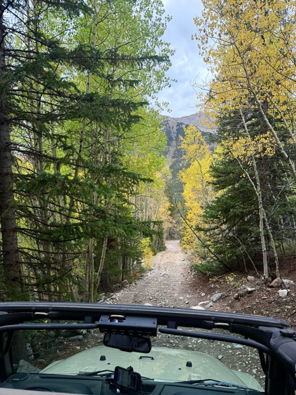
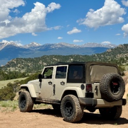
This was a nice trail with little difficulty but plenty to offer between the creek crossings, peaceful forest, good views, and an awesome lake a short walk from the end.
Normally an “Optional” diffic...
Josh
Rated 4/5
Open
Visited: 09/23/2026
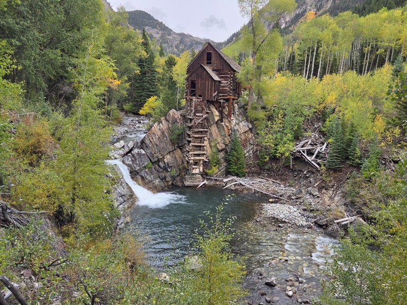
BUMPY!!! Don't let the 2 rating fool you. The trail isn't at all difficult, but it is bumpy! I arrived in the area in the afternoon and thought I'd take a quick trip up to check out Crystal Mill. ...
CH
Chris Hebner
No Rating
Open
Visited: 09/23/2026
Great medium level drive. Allow time to get to trail head as the washboard getting there is rough. It was worth it though.
KE
Keith Early
Rated 5/5
Open
Visited: 09/23/2026
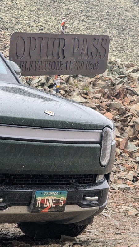
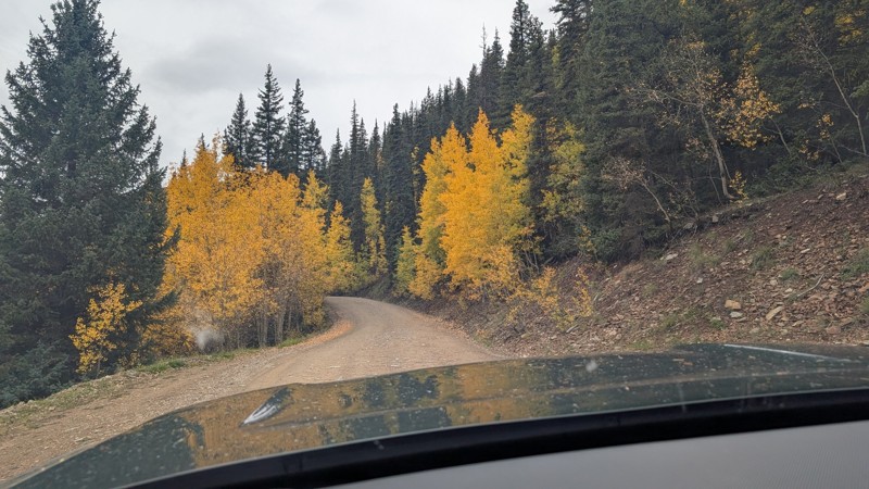
nice trail with good views. a classic in the San Juans... it's not quite as easy as 2 but not a true 3 either. Totally doable with a stock 4WD.

Mustafa ParDane
Official Crew
Rated 5/5
Open
Visited: 09/23/2026
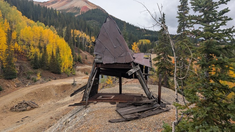
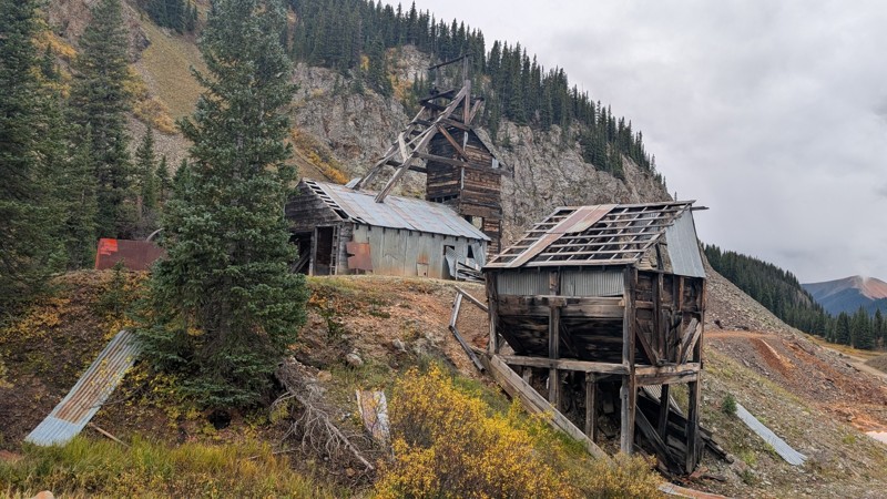
Nice fun easy trail! You will see lots of mines. I mean lots of them. If you are into it, this is the trail for you :)
Mustafa ParDane
Official Crew
Rated 5/5
Open
Visited: 09/23/2026
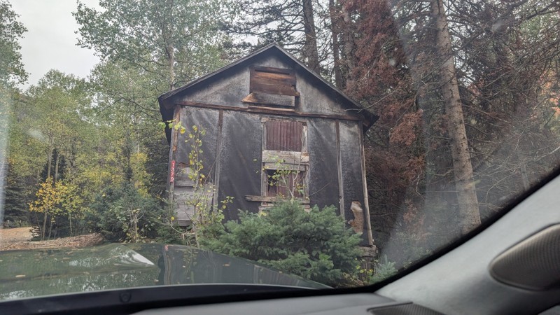
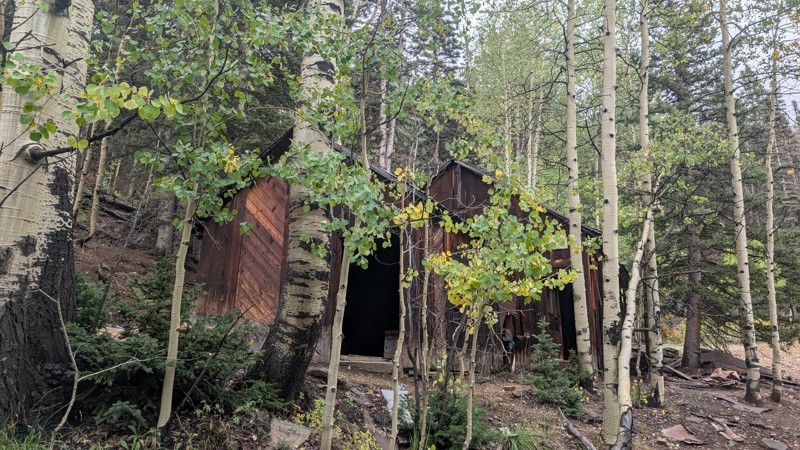
It's a steep climb all the way from the beginning to the top but there is no real obstacles. You will see some cool mines. And the views are awesome. You will see some good views of the Red Mountain p...
Mustafa ParDane
Official Crew
Rated 5/5
Open
Visited: 09/23/2026
We frequent this route probably once a week from GoG to Woodland Park. Be very careful on the blind curves - no shortage of knuckleheads driving way too fast (a biker was struck fatally in June). Us...
TC
Tim Crane
Rated 5/5
Open
Visited: 09/22/2026
Scenic road connecting to other alpine loop trails. it's not very technical or hard. but if you don't prefer shelf roads, maybe that can be considered hard. Red Mountain peaks are awesome. the scenery...

Mustafa ParDane
Official Crew
Rated 5/5
Open
Visited: 09/22/2026
Besides the shelf roads, there is not other bug obstacle or anything technical. As always, it has really good views :)


Mustafa ParDane
Official Crew
Rated 5/5
Open
Visited: 09/22/2026
Views are awesome as always with any alpine loop trails. There is a very short hike at the summit that takes you to even higher point with better views. Lake Como looks very good from there.


Mustafa ParDane
Official Crew
Rated 5/5
Open
Visited: 09/22/2026
Started from Lake City as most people recommend running the alpine loop clockwise. I think that was a wise choice because I didn't have a lot of ongoing traffic. The views are awesome and they start r...


Mustafa ParDane
Official Crew
Rated 5/5
Open
Visited: 09/22/2026
Tough trail, lots of technical spots throughout. Dont attempt solo or with any kind of stock truck!


Greg Dermann
Rated 4/5
Open
Visited: 09/22/2026
Just a dirt road with lots of potholes. Nothing technical. Drove this up to the 401 Trailhead to bike. Pretty busy with folks camping and leaf peeping. Overall it is in a pretty area and theres good c...



Davis McPherson
Rated 4/5
Open
Visited: 09/22/2026
Ok I have not run that trail in the last 4 years. I don't recall it looking like the photos. Did it recently get this way (rock garden) and get the difficult rating?
C
coyoteslocos
No Rating
Temporary Closure
Visited: 09/21/2026
Sign at the bottom of the hill says road construction but when you get to the turn off it is blocked.
PD
Paul Dixon
Rated 5/5
Open
Visited: 09/21/2026
Ran the trail from Westcliff side over the pass and into Great Sand Dunes NP. Had great weather. Don't think it had rained much in the days prior. So, the trail was dry. Think the difficulty ratin...



Stephen
Rated 5/5
Open
Visited: 09/21/2026
Id put it at a 3 some larger rocks mud and shelf roads: beautiful trail. Highly recommend.


Brian mckie
No Rating
Open
Visited: 09/21/2026
There is an area towards the end of this trail not long before it opens into the meadow that is very shaded and has become a mud hole. Well, somebody with a vehicle not capable enough to get through i...

Curt Greeley
Rated 5/5
Open
Visited: 09/20/2026
Ran this trail for the first time on 9/20/26. Absolutely stunning views and the leaves were almost at peak. This might be my new favorite trail to run during this time of year. Not difficult, but long...



Jack Mackie
Rated 4/5
Open
Visited: 09/20/2026
I wanted to run this trail on my way out from the gulches area but when I got down to the first stream crossing it had a few large logs placed in it. Im not sure if this is for traction or what, but I...
Jack Mackie
Rated 5/5
Open
Visited: 09/20/2026
First time out here and I ran this alone on 9/20/26 coming back from Old Stage 220. Took Sportsman Rd to get to 220 so I decided to take this to trail to get back to Cedar Mtn Rd. This is more fun tha...
Jack Mackie
Rated 5/5
Open
Visited: 09/20/2026
This is one of my favorite trails. I like to start at St. Mary's and run it in reverse lf this trail guide. I prefer to take most of the steep sections downhill, but if you want a fun challenge, then ...


Tim
Rated 5/5
Open
Visited: 09/20/2026
Ran this on 9-20-26 up to the Phoenix rocks. WK2 3" lift on 33's. Never been in this area before but I have read many of the reviews on here about the gulch trails. I was alone and the phoenix rocks w...

Jack Mackie
SH
Sharon Hansen
Rated 5/5
Open
Visited: 09/20/2026
Maiden voyage for my stock suspension 1994 Wrangler. The trail was surprisingly rocky in the beginning. Beautiful views and not too much traffic.
SH
Sharon Hansen
Rated 2/5
Partially Open
Visited: 09/20/2026
While there were some aspen views, this is not the best place to find them. Most of the views of the surrounding area are obscured by pine trees that are close to the road. Many of the overlooks are o...
MG
Mike Gerdts
Rated 4/5
Open
Visited: 09/20/2026
We enjoyed the trail. Beautiful scenery. Definately narrow in some areas. The terrain itself wasn't so difficult. Clearence is needed for some of the rocks in the trail.


Lisa Johnson
Rated 4/5
Open
Visited: 09/19/2026
Ran it in a 157"WB F150 on 33's, and would probably run it in a passenger car. Great views, easy climb and the switchbacks were totally navigable in a fullsize. Some of the roads on top are more app...
J
Justin
Rated 5/5
Open
Visited: 09/19/2026
The last descent at the end is kind of muddy so take it extra slow.



Joshua Scurran
Rated 5/5
Open
Visited: 09/19/2026
Ran east to west. The ascent at waypoint 14 has been cleaned up considerably - not sure if this was the work of the recovery crew we passed who were headed up Mt Baldy road, but it was much less rocky...

Jeff Dew
JG
Joseph G Botthof III
No Rating
Temporary Closure
Visited: 09/19/2026
Following up on Ryan's post, multiple incidents have occurred of vehicles sliding off the trail at washouts. CO4x4RNR was up yesterday recovering a vehicle, and we were told the trail will remain clo...

ERIC D BROWN
Rated 5/5
Open
Visited: 09/19/2026
Epic views at the top make this in and out road a must see on my list. Shelf roads with a few areas for passing. Switchbacks and 12"-18" boulders in only a few places to navigate. 4wd and good clearan...



Desi
Rated 5/5
Open
Visited: 09/19/2026
Expect closures Sept 21-24 for pipeline maintenance starting near the trestle. Perhaps related, there’s a rusty 4-6” pipe sticking out of a puddle near the trailhead at the top.
It’s been a bit rai...

MG
Mike Gerdts

Kirk Kneezle
Kirk Kneezle
Kirk Kneezle
WH
William Harkcom
Rated 5/5
Open
Visited: 09/18/2026
Great trail. Lots of fun, great views. Loved all the rock outcroppings.



Jessica H
Rated 5/5
Open
Visited: 09/18/2026
Short but fun. Right mix of technical and scenic. Ran this with Solitude Creek. Great views but that initial climb looked daunting but once you get into it wasn’t that bad.


Jessica H
Most Popular

Updated: 10/15/2024
Penrose Commons BLM 6102J
Adelaide, Colorado
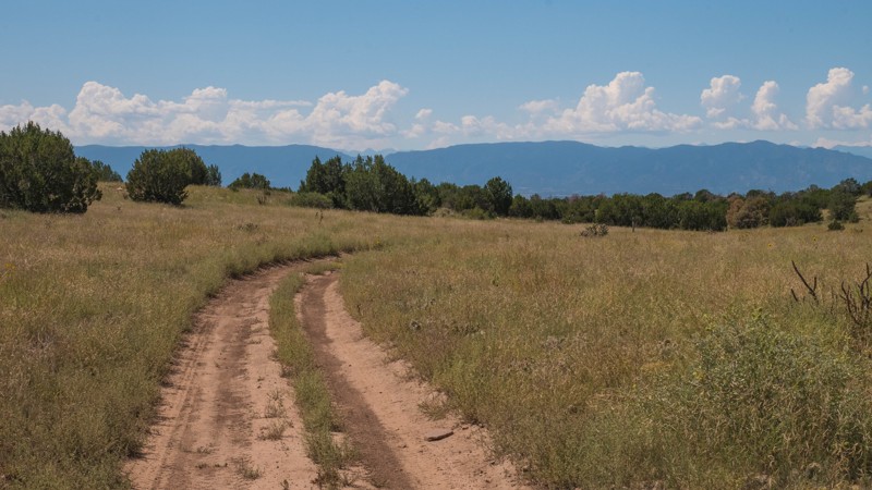
Penrose Commons is a BLM OHV recreation area near Penrose, Colorado. The area is full of crisscrossing full-size and ATV trails of varying difficulty. BLM Route 6102J is a short spur that connects to ATV trails. This trail itself is an easy, rutted dirt road. It would be muddy when wet. Camping within Penrose Commons is limited to designated sites only, which are marked with camping signs. No campsites can be found along this trail. Vault toilets are located at the entrance to the OHV area.
Updated: 10/15/2024
Quartz Road
Palmer Lake, Colorado
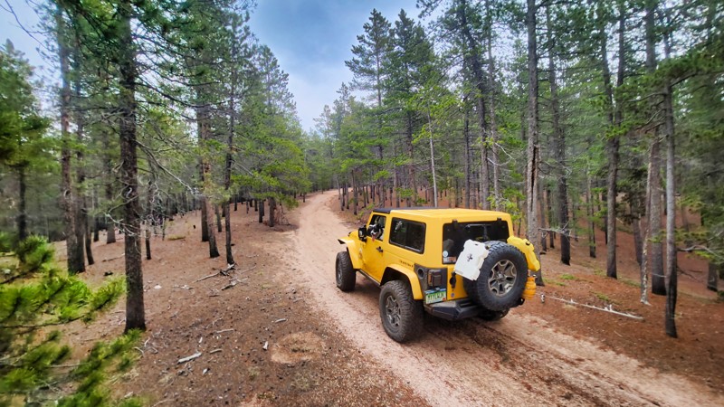
Quartz Road is an easy, quick out-and-back trail off the popular Rampart Range Road in the Pike National Forest. Once the trail serviced the Spielman Mine. The trail rides a ridgeline through a pine forest. There were no established sites seen along the trail.
Updated: 08/07/2023
Noble Road
Lake George, Colorado
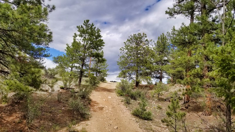
Noble Road, in Pike National Forest, is a serene and secluded spur off Figure 9 Road. Despite its smaller footprint within the vast 110-square-mile Badger Flats Trail Network, it offers a tranquil journey through the woodland. Its charm and tranquility make it a valuable addition to any offroad adventure in the area.
Updated: 08/11/2026
Gold Bar
Spar City, Colorado
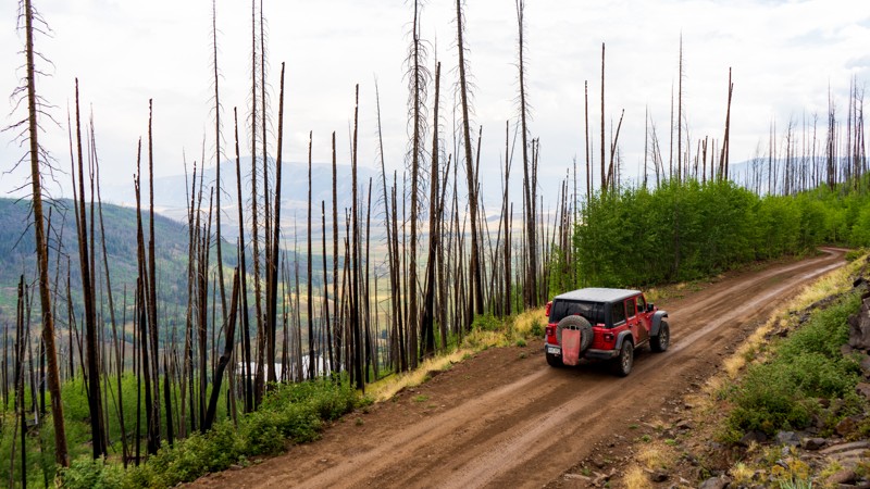
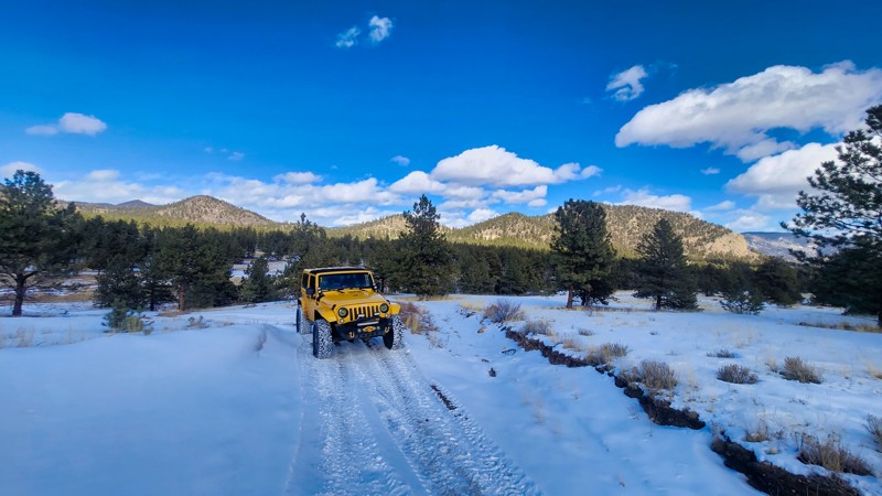
Gold Bar is a well-maintained trail leading away from Middle Creek just north of Love Lake. A majority of the trail travels within a burn scar, where the pines still stand bare, but the undergrowth has come back strong. The trail ends at a gate with room to turn around. The trail has no obstacles making it suitable for any high clearance vehicle. There are two small campsites along the trail.
Updated: 10/15/2024
Lincoln Road
Tarryall, Colorado
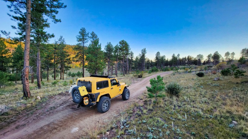
Lincoln Road is a short connector that, when combined with Bull Road, connects Burns Park Road, Thorpe Road, and Puma Road (AKA La Salle Pass). The trail doesn't offer much scenery but is a vital part of the Badger Mountain Trail Network.
Updated: 10/15/2024
Perkins Road
Lake George, Colorado
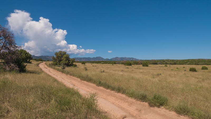
This small spur road off of Platte Springs Road connects with Tappan Road. The trail has a nice dispersed campsite.
Updated: 10/15/2024
Penrose Commons BLM 6102D
Adelaide, Colorado
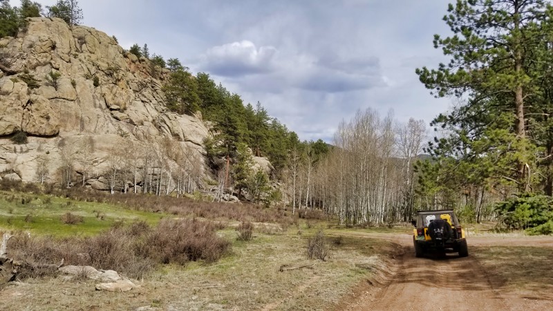
Penrose Commons is a BLM OHV recreation area near Penrose, Colorado. The area is full of crisscrossing full-size and ATV trails of varying difficulty. BLM Route 6102D is a short connector between 6102 and 6102A. It begins as a rough dirt road through open meadows followed by a long rock and gravel hill. This trail is suitable for any 4x4 with moderate clearance. Camping within Penrose Commons is limited to designated sites only, which are marked with camping signs. No campsites can be found along this trail. Vault toilets are located at the entrance to the OHV area.
Updated: 11/27/2023
Picnic Area Road
Lake George, Colorado
Tucked away as an attractive detour off Sixteener Road, Picnic Area Road presents a unique vista of a once-dense forest, now transformed by logging in 2019. This reshaped landscape exposes the beauty of the forest while providing an open and scenic experience. Remarkable rock formations enhance the trail's appeal, marking Picnic Area Road as an excellent supplement to a day of exploration within this network.
Updated: 10/15/2024
Illinois Texas BR
Winfield, Colorado
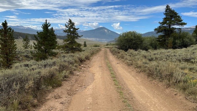
Illinois Texas BR is an easy trail that begins by taking you through the trees, past a handful of campsites and ends in the wide-open tundra typical of Taylor Park.
There can be mud in the early summer and small ruts that come and go along the trail, depending on the season. Any vehicle with clearance can easily drive this trail.
A few campsites are in the trees along the north part of the trail.
Updated: 11/27/2023
Sore Foot
Lake George, Colorado
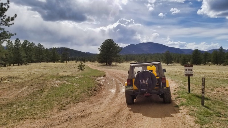
Winding through the lush forests of Pike National Forest, Sore Foot Road offers an accessible and delightful trail for all types of off-roaders. This scenic journey around Round Mountain ends at a breathtaking overlook, rewarding travelers with awe-inspiring views of Pike's Peak. With its relatively mild terrain interspersed with stunning vistas, Sore Foot Road is an excellent choice for those seeking a blend of natural beauty and a touch of adventure in their offroad experience.
Updated: 10/15/2024
Ensign Ridge Road
Woodland Park, Colorado
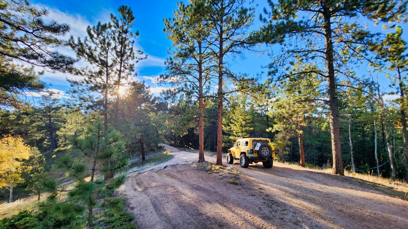
Ensign Ridge Road is a short out and back trail off Ensign Gulch. The road is rarely easy, but there are bypasses when things get too bumpy.
Updated: 10/15/2024
Jake Road
Westcreek, Colorado
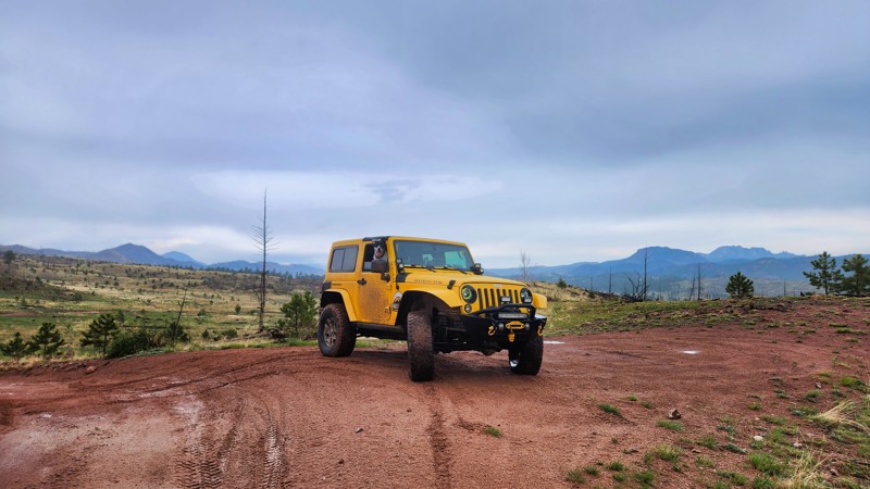
Jake Road skirts the outside of this small trail network just north of Rainbow Falls. After climbing a small hill, the trail treats you to views of the surrounding mountains from a comfortable campsite. These trails are a little to speak of now, but as the forest regrows around them from the 2002 Hayman burn scar, they will get more interesting.
Updated: 07/27/2026
Cake Ridge Spur
Abbeyville, Colorado
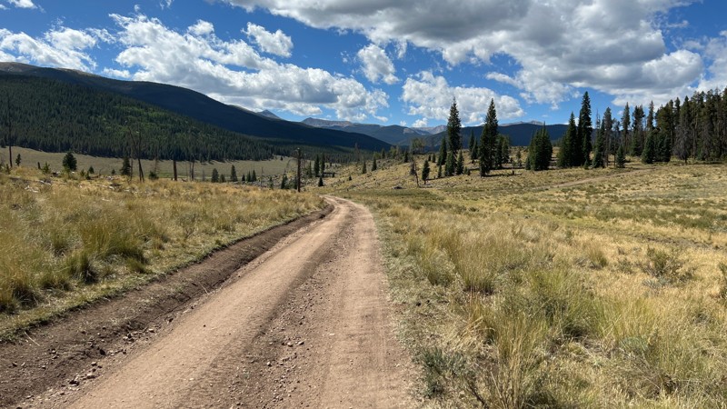
Cake Ridge Spur is a short dirt trail connecting three other nearby trails. This trail is part of a network of trails between Cottonwood Pass and Cumberland Pass. Cake Ridge Spur offers a chance to get out of the trees and catch glimpses of the surrounding area. The trail crosses Cow Creek at its south end, but the crossing has a man-made hard bottom that is usually only a few inches deep. It's also common to see cattle on this trail.
Although there are no campsites on this trail, all nearby trails have obvious campsites.
This trail is rated as moderate due to the frequent rutted-out sections along its length. A few of these ruts have bypasses, while others must be driven through. The ruts can be around a foot deep, which poses risks to vehicles with low clearance. However, any vehicle with AWD or 4WD and clearance can easily drive this trail.
Updated: 02/17/2025
Mitchell Road
Loma, Colorado
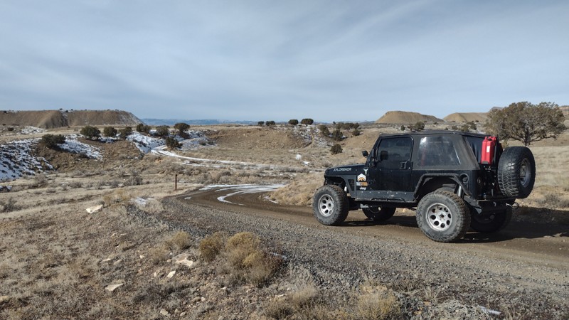
Mitchell Road is an easy 3.3-mile connector trail that travels through the North Desert OHV area with world-class mountain bike and OHV trails. The road travels along the base of the Book Cliffs, where numerous recreation trails crisscross the region. The trail system and abundant camping provide great opportunities to experience the diverse desert environment along the base of the Bookcliffs. The designated OHV area is for max 50" width ATVs.
At the trail's beginning, the North Fruita Desert Campground has primitive-type campsites with picnic tables, fire rings, and vault toilets, but no water. Campsite rates are $20 per night and include up to 10 people and 2 vehicles. There is an $8 non-refundable reservation fee for each reservation. Food, lodging, and other supplies can be found nearby in the City of Fruita.
Updated: 10/15/2024
Penrose Commons 6101B
Adelaide, Colorado
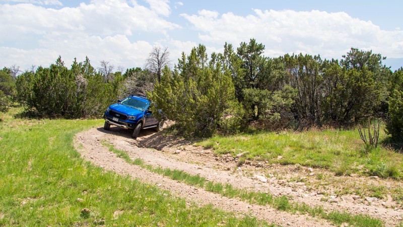
Penrose Commons is a BLM OHV recreation area near Penrose, Colorado. The area is full of crisscrossing full-size and ATV trails of varying difficulty. BLM Route 6101B is an out-and-back rocky trail that leads to the trailhead of ATV T6101A. The rocky trail has one tight banked turn and a couple of small rock steps. This trail is suitable for any 4x4 with moderate clearance. The trail's end has a large turnaround loop suitable for 5-6 vehicles.
Camping within Penrose Commons is limited to designated sites only, which are marked with camping signs. No campsites can be found along this trail. Vault toilets are located at the entrance to the OHV area.
Updated: 10/15/2024
Phantom Meadow Road
Westcreek, Colorado
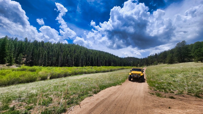
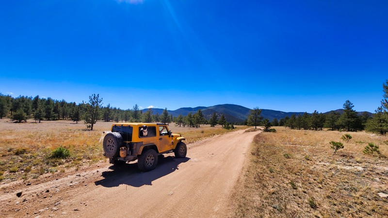
Phantom Meadow is a quick out-and-back trail off its parent Manchester Road. It travels along Phantom Creek, passing a few campsite spurs along the way. Towards the end of the trail, the road gets tight with overgrowth and exposed rocks.
Updated: 10/15/2024
Boomer Road
Tarryall, Colorado
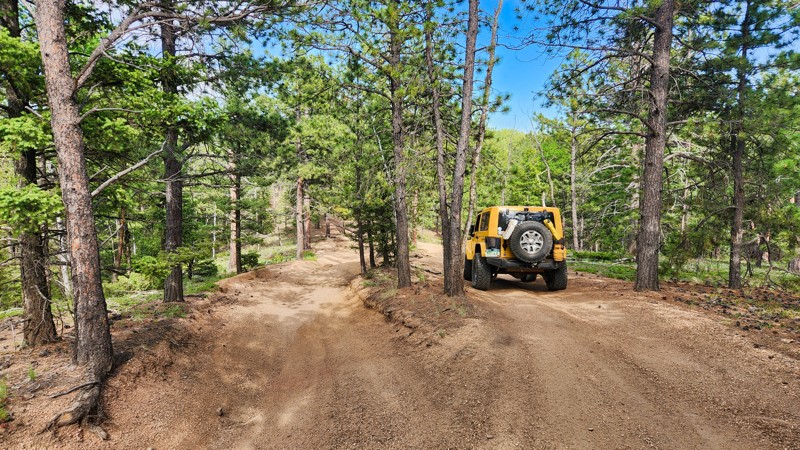
Boomer Road is part of the Puma Hills area of trails and weaves its way through the forest here. The mild rocky sections climb up and down, and this area provides a decent bump in the ride.
Updated: 10/15/2024
Trash Road
Divide, Colorado
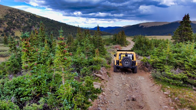
Trash Road is a mildly challenging trail connecting off Rule Ridge Road with regular dirt and loose rock typical of the region. Dispersed camping is permissible along the route, though no established sites were spotted, making it a potential option for overland vehicles seeking a location to set up camp.
Updated: 09/09/2026
Santiago Cutoff Road
Silver Plume, Colorado
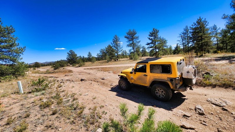
Santiago Cutoff Road is a half-mile connector that links Leavenworth Creek Road with Waldorf Wagon Road. This rocky, inclined trail offers more than just a path between points; it provides picturesque views as it descends the mountain. Although the MVUM allows for camping within 300 feet of the road's centerline, no established camping spots were observed along the route. Ideal for those seeking a short but scenic drive, Santiago Cutoff Road enhances any journey through this area, offering a glimpse of the surrounding beauty from a unique vantage point.
Updated: 10/15/2024
Mill Road
Tarryall, Colorado
Mill Road runs from County Road 31 to County Road 77 and connects to some camping along the way. It's not terribly difficult and just has some rocky sections to bump over and dusty dirt that's kicked up most days.
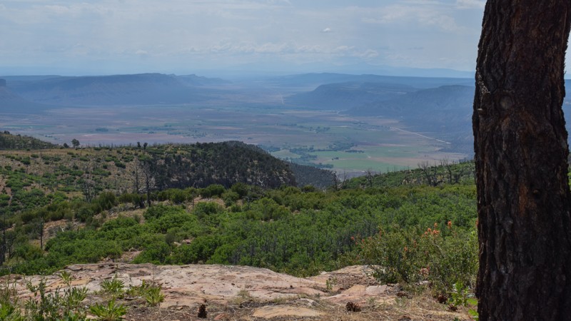
Updated: 10/15/2024
Paradox Road
Paradox, Colorado
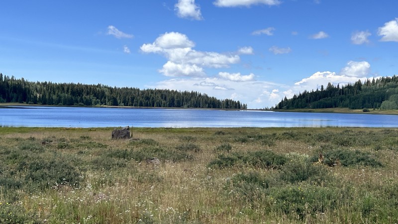
Paradox Road, located along the Colorado and Utah border, is a scenic drive leading to the picturesque Buckeye Reservoir at 7,600' of elevation. It easily winds up a maintained gravel and dirt road with countless switchbacks, offering fleeting views of the valley below. The road can be heavily corrugated, and the weekend campers' towing trailers can be dangerous on the many blind corners. Camping is primarily found at higher elevations where only a few campsites are immediately off the trail. Around Buckeye Reservoir, you can find campsites with large firepits and wonderful lake views. In dry conditions, the entire route can be completed in 2WD vehicles equipped with durable tires and high clearance. The trail can be impassable in the winter due to deep snow and icy conditions.
Updated: 10/15/2024
Flowing Park
Grand Mesa, Colorado
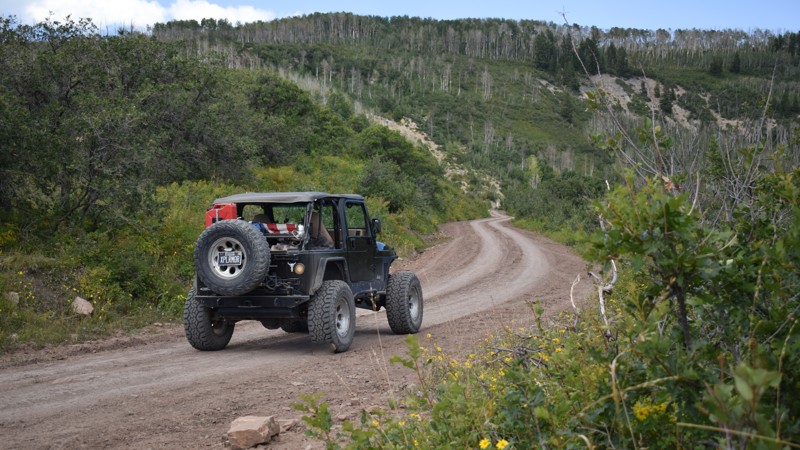
Flowing Park is an out-and-back trail starting from Lands End Road and leading to the Flowing Park Reservoir. Compared to Lands End Road, most of the route is wooded. En route, a few dispersed campsites are nestled in the trees, but they are sparse, considering the length of the road. No camping can be found near the reservoir, as it is part of the drinking water supply. The road is suitable for any vehicle.
Updated: 08/11/2026
Old Highway 90 Road
Piñon, Colorado
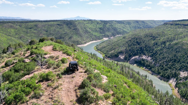
As the name suggests, this was once an old highway over the mountains, climbing to over 4,000 vertical feet, up a semi-maintained gravel and dirt road into Uncompahgre National Forest. Before connecting with Divide Road at the summit, you will wind through colorful canyons with a notable change in vegetation as you twist up the switchbacks. The trail can have deep corrugation washboard bumps, and sections may be rutted after being graded for the season. There are numerous primitive campsites along the route, with the most and best being at higher elevations. Use caution around corners as this road is commonly used by large trucks pulling campers.
Updated: 08/11/2026
Trail Canyon
Dolores, Colorado
Trail Canyon winds through the Dolores Ranger District of San Juan National Forest, northeast of Dolores, Colorado. This rough dirt road can be done in a stock 4x4 or high clearance vehicle. It offers access to mature Ponderosa Pines, stands of Aspen trees, and mixed meadows, as well as historic sites, such as the Beaver Creek Massacre Trail. The short spur at the southern end of the trail offers 360-degree views of the surrounding forest and canyon below.
There are various options for dispersed camping in open meadows or within the pine forest.
Seasonal closures typically run from December through mid-April; always check with the Dolores Ranger District for up-to-date motorized access information. It’s a popular corridor for dispersed camping, off‑road driving, hiking, wildlife viewing, and mountain biking—use proper etiquette, pack out trash, and respect trail regulations.

Upgrade your Membership
Unlock all of the details on every Trail Guide and Scout Route.
Start a 7-day Free TrialBrowse Trails in Colorado by City
Browse every Colorado city with offroad trail guides.
Community
Partners

