By clicking "ACCEPT", you agree to be the terms and conditions of each policy linked to above. You also agree to the storing of cookies on your device to facilitate the operation and functionality of our site, enhance and customize your user experience, and to analyze how our site is used.
Offroad Trails in Flat Tops
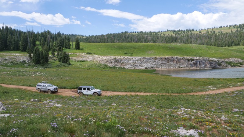
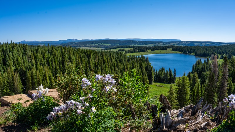
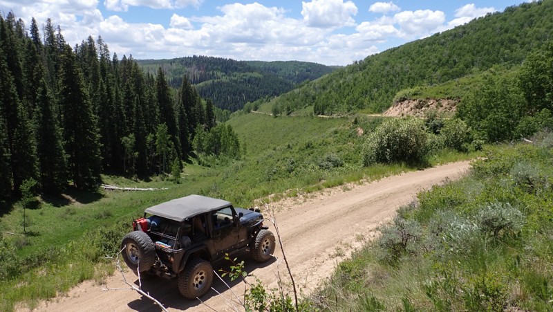
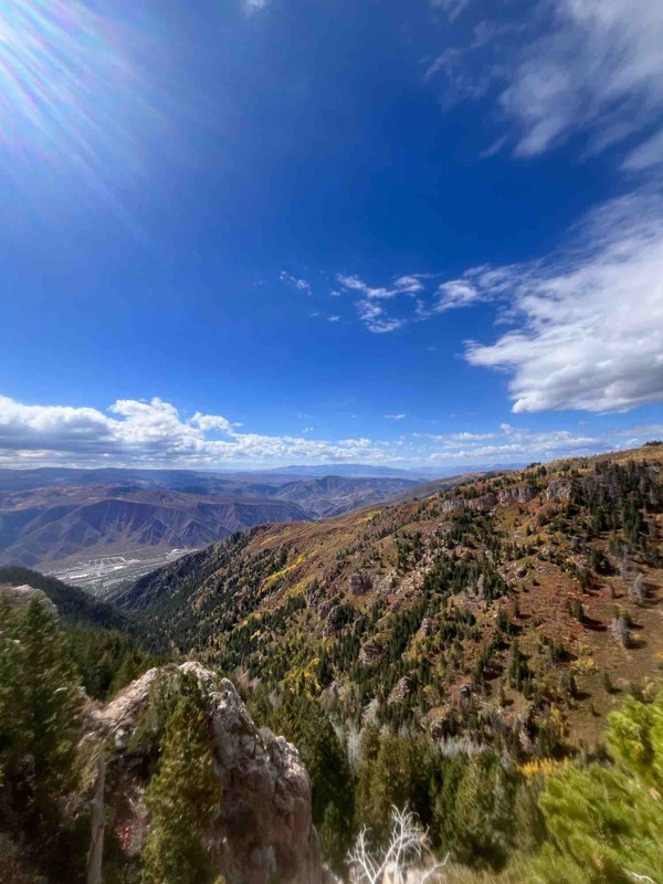
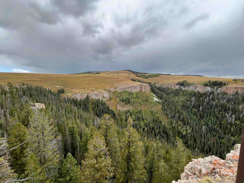
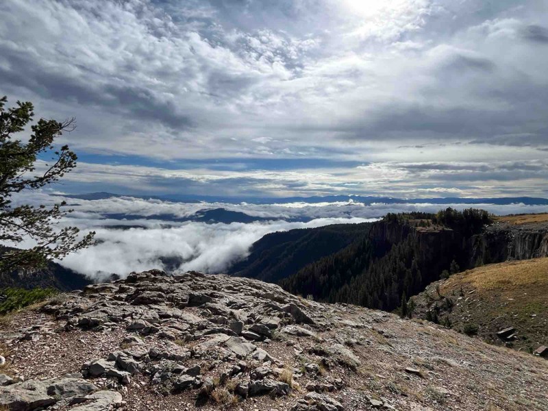
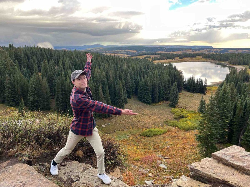
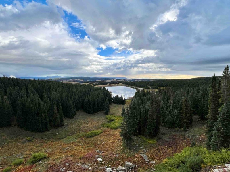
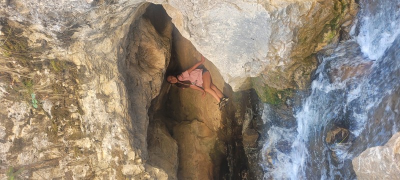
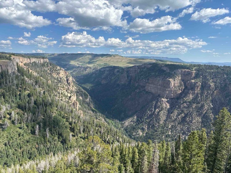
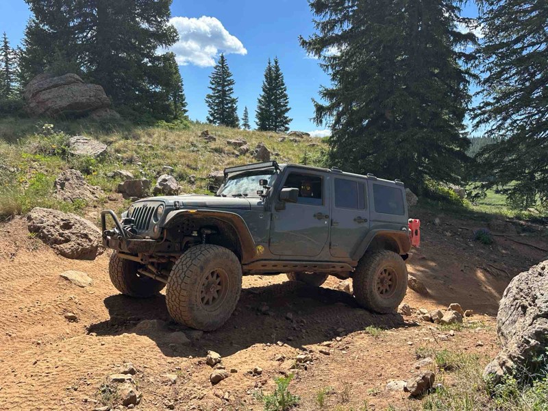
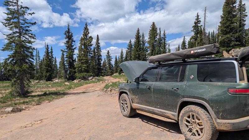
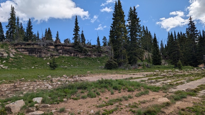
The Flat Tops are a high-plateau mountain range in northwest Colorado. Its trail system spans the Routt and White River National Forests generally averaging a breathtaking (literally) 10,000 feet in elevation. With its vast expanse of rugged terrain, towering peaks, pristine alpine lakes, and lush forests, the Flat Tops provide an ideal playground for those with the itch to get outdoors. From overlanding to camping, from hiking to horseback riding, from hunting to fishing; this is a haven for outdoor enthusiasts of all kinds.
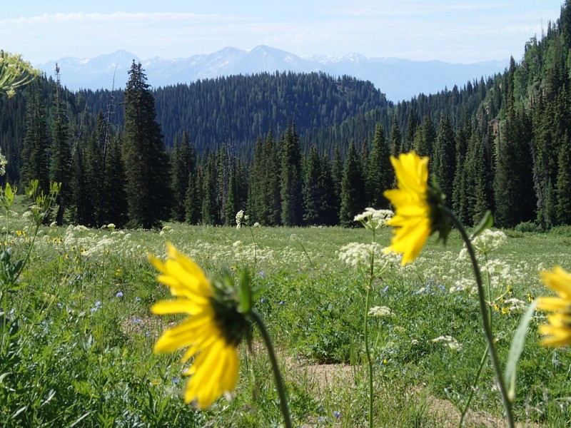
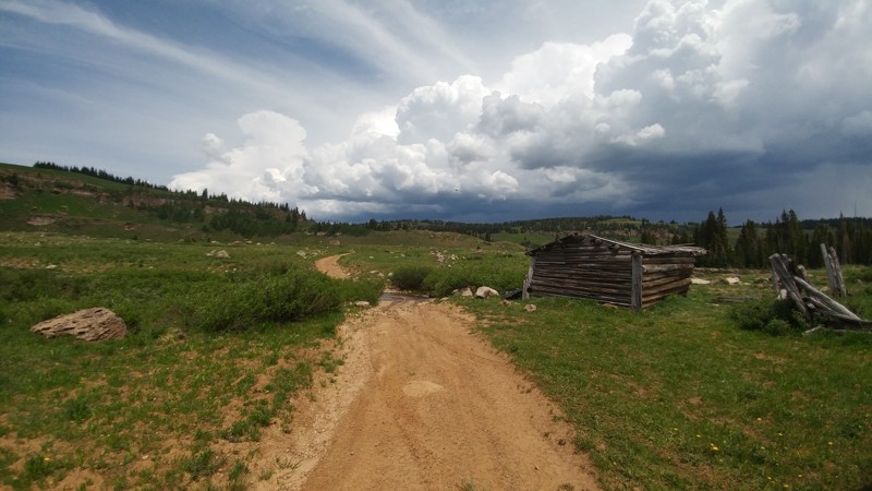
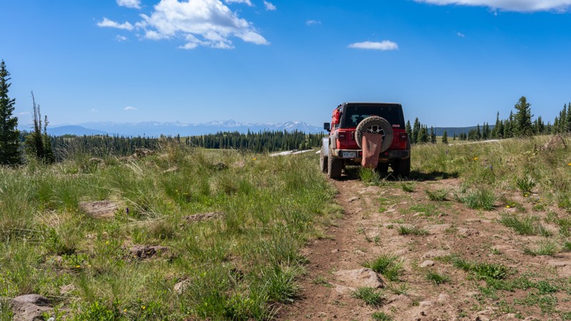
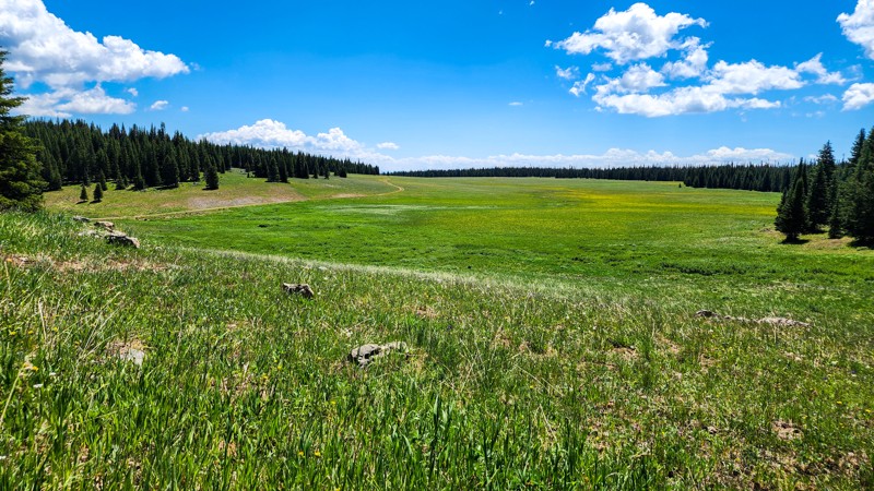
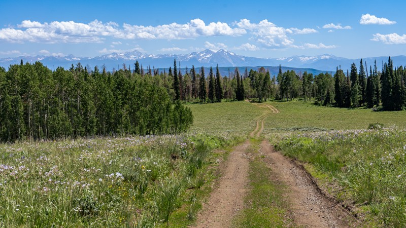
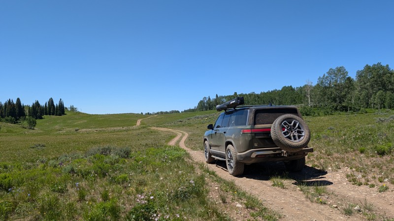
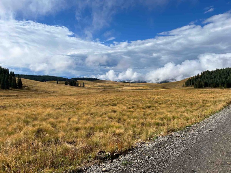
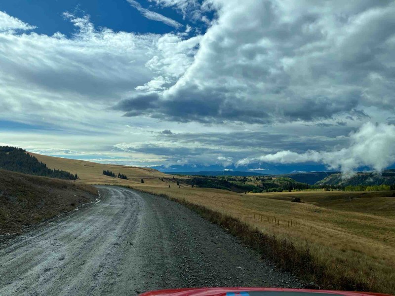
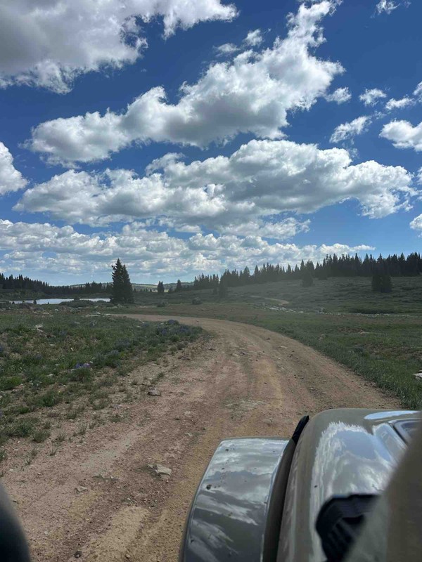
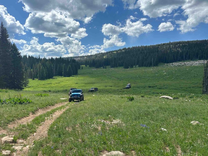
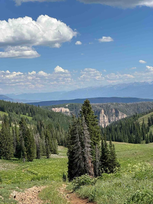
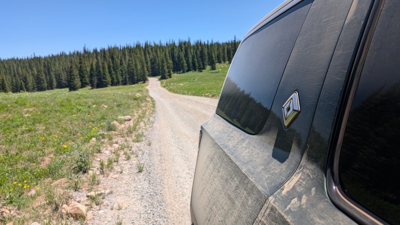
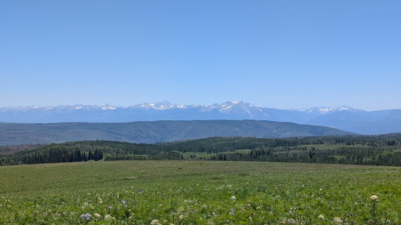
Vast networks of trails crisscross the landscape in the Flat Tops. These winding trails lead through dense forests, across lush meadows, past wildflowers and alpine lakes, and up to panoramic vistas. Popular entry points include Buford Road, Coffee Pot Road, and Transfer Trail. Most roads you will find along the Flat Tops, are generally easy to moderate in difficulty rating. Although, vehicle-swallowing mud holes do exist in the area and can challenge even the most prepared drivers. Winch points are sparse in the high-altitude environment and sometimes you won’t see another sole for miles. The Flat Tops are devoid of cell service, so visitors should come prepared to self-rescue.
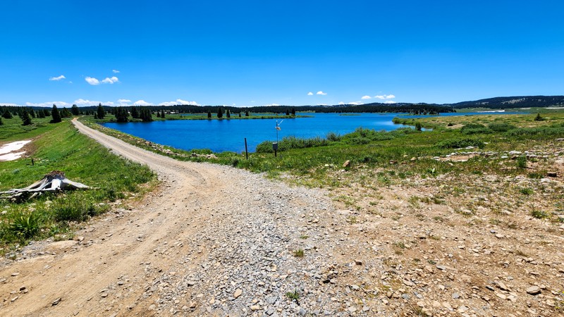
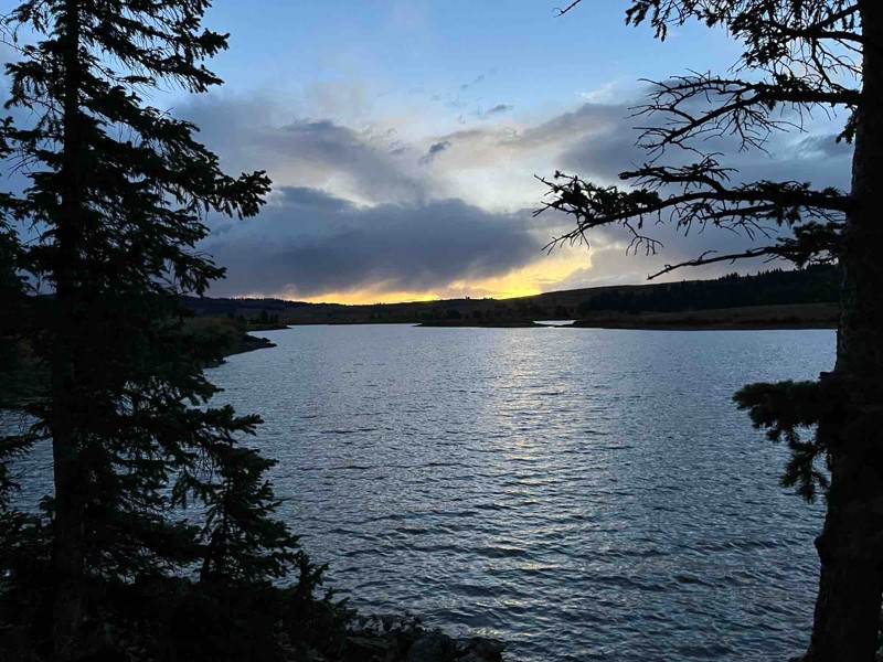
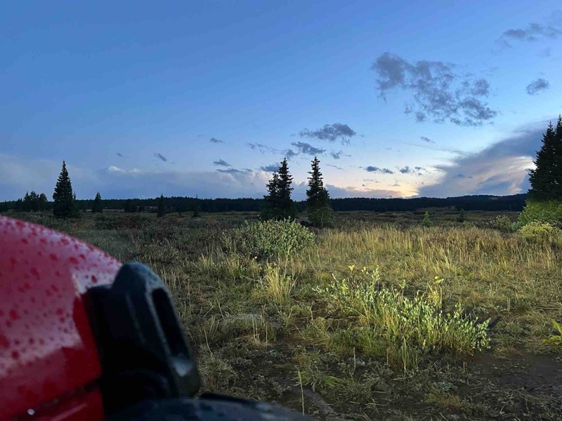
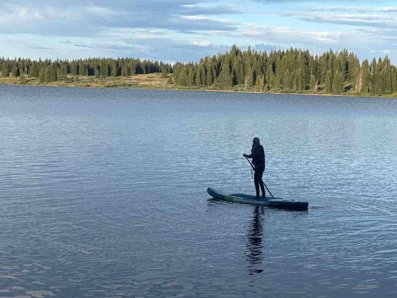
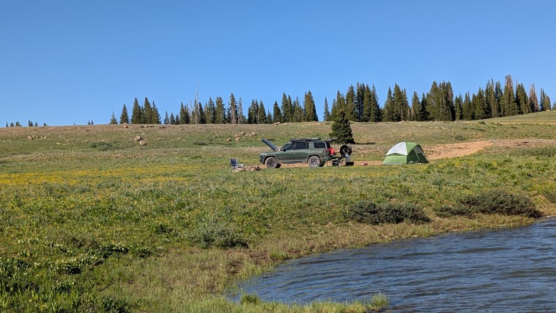
Remote campsites along the Flat Tops offer a chance to disconnect from daily life and experience the beauty of the wilderness under the starlit sky. The Flat Tops are home to over 100 ponds and lakes in the area. It is not uncommon to find a campsite with your own peaceful fishing spot to relax and enjoy. And more than just fish, you are likely to encounter thriving wildlife including deer, elk, moose, black bears, and various bird species which makes the area ripe for photographers and hunters.
Whether you come for the camping, the fishing, the hiking, the photography, or the hunting, the Flat Tops of Colorado invites all its visitors to explore and connect with the pristine beauty of the natural world.
Top Reasons to Explore Here
Most Recent Trail Reviews

Most Popular
Transfer Trail
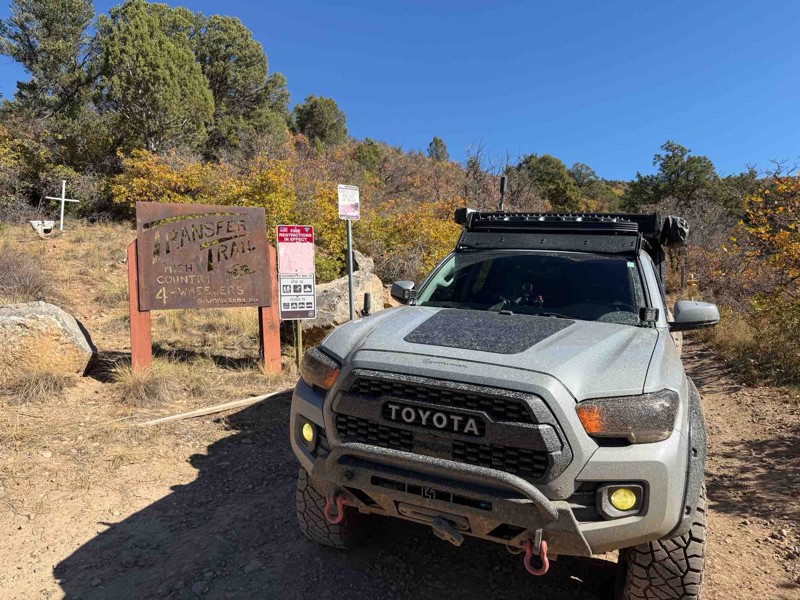
The Transfer Trail, situated near Glenwood Springs, Colorado is the main overland route into the White River National Forest SE Flat Tops area. The road delivers you deep into the heart of meadows filled with wildflowers, thick forest of spruce, fir, pine and aspen trees and scenic lakes. Mixed into the experience are vistas of the distant Elk Mountains to the south, and No Name Creek when you find yourself at Windy Point overlook. This off-road route was originally part of the Ute Indian Trail System, then later became a toll road for the Hip Roof Saw Mill at Windy Point. A sheep farmer then bought the land and herded sheep in the area. The old road system connected through the Flat Tops to distant towns such as Meeker and Yampa. Although the Mill and much of the old road system is long gone, the Transfer Trail remains.
Coffee Pot Road
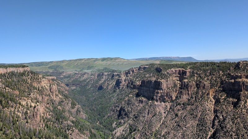
Coffee Pot Road is a beautiful and scenic drive that snakes its way up the southern edge of the Flattops, beginning at the Colorado River and ending at the famous Flat Tops Wilderness of the White River National Forest. Coffee Pot Road traverses a beautiful landscape, offering incredible views of surrounding mountains, forests, deep canyons, valleys, and stunning high-alpine lakes. After tackling an easy yet white-knuckle ascent, you will find endless opportunities for adventure and fun, with countless 4x4 trails, tons of fishing holes, hiking trails, wildlife viewing, and genuinely epic campsites that embody the Colorado spirit. Coffee Pot Road is undoubtedly of those drives you can't find anywhere else.
Blair Mountain
Blair Mountain is situated in the White River National Forest, but potentially more known by the region's moniker as the "Flat Tops". Once you find yourself at one of the highest points in this mountainous region of Colorado, you will understand the name. It is comprised of lots of high altitude plateaus, mesas, rolling hills/valleys, and meadows. Its unique geological makeup of being relatively flat at a high altitude allows for an abundance of water retention. There are numerous lakes, ponds, creeks, and marshes along Blair Mountain. Of course with lots of water comes lots of vegetation. This area might be one of the most impressive wildflower displays Colorado has to offer. The actual trail lies on National Forest land that outskirts the Flat Tops Wilderness Area and overlooks the 235,000-acre parcel of land only accessible by foot. In 1919, Arthur Carhart was sent to the area to survey it as a site for summer homes. He was so struck by the landscape that he informed his superiors the land should be set aside, protected, and preserved. He spoke so passionately about the subject that he and the area are credited with sparking the ideas fundamental to the Wilderness Act of 1964. It is for this reason the Flat Tops region is known as “the Cradle of Wilderness”. This track is a technical overlander's dream trail. Its remote location, natural beauty, and plentiful camping/fishing/hiking opportunities will make you want to come back over and over again. Forest Roads jut out in almost every direction, fostering the potential for exploration to be as much or as little as you like. Once you set your wheels on the trail and pitch your tent atop a ridge or by a pristine mountain lake, you may never want to leave.
Crescent Lake
Adams Lake
Bowen Lake Loop
White Owl Lake
Located high atop the hills of the Flattops, White Owl Lake is a connecting road within a vast network of trails traveling part of the White River National Forest. This trail travels through expansive meadows and dense forests, passing pristine mountain lakes and streams. The trail offers a truly remote and unspoiled outdoor experience. Whether you come for camping, fishing, the relaxing drive, or the serenity, White Owl Lake leaves you with a new appreciation for the beauty and solitude of the great outdoors.
Grizzly Jeep Road
Grizzly Jeep Trail is a beautiful high alpine road located in the Flat Tops of the White River National Forest. It travels through an extremely delicate environment, so staying on the trail and packing out all trash is very important. Grizzly Cow Camp is the destination on the trail with primitive camping and some truly incredible alpine views. The trail is an experience with a variety of obstacles, gorgeous scenery, and a good possibility of seeing wildlife. The trail connects Coffee Pot Road with White Owl Lake and Transfer Trail, making it a perfect trail for a quick ride or as an addition while running other trails in the area. The trail can have some deep, sticky mud holes depending on the time of year and recent weather, so definitely do try this one alone. Also, one rutty rock ledge will challenge vehicles that do not have rock sliders or larger tires. This trail is best suited for experienced drivers in a modified vehicle on larger tires.
The only established campsite along this trail is at the Grizzly Cow Camp. It is a Primitive campsite without any facilities, only an established fire pit.
New Castle Buford Road
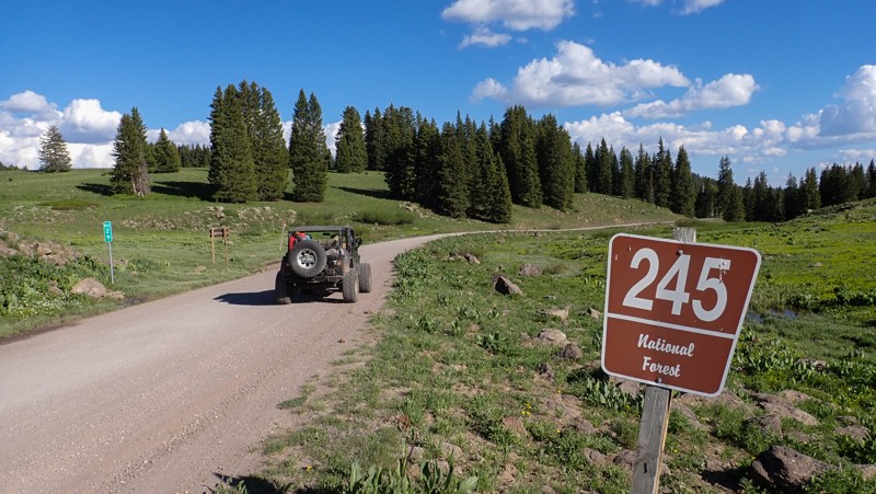
Bridging the gap between New Castle and the tiny community of Buford, Forest Road 245 travels over 32 miles through the White Mountain National Forest. The trail has abundant free primitive camping along the countless spur trails leading into the trees. Wildlife is abundant in the area. Elk, moose, deer, bear, and mountain lions are common sites on the trail. The trail is a maintained county road with long climbs, washboards, and ruts from water drainage. The entire route can be completed in high clearance 2WD in dry conditions. ATVs are not allowed but be aware of other traffic on the road including large trucks towing campers. This is a busy and fast road.
Heart Lake
Traveling along the eastern edge of a spectacular high alpine lake, Heart Lake is a fantastic trail for dispersed camping, fishing, and awe-inspiring views of the famous Flat Top Mountain Range. The trail travels between Coffee Pot Road and Blair Mountain and offers numerous campsite options, both lake-side and tucked between the trees. The northern half of the trail, connecting to Coffee Pot Road, is fairly rough, with small ruts and exposed flat rocks the size of dinner plates. This section of trail travels past a small, remote alpine lake with a couple of campsites and will require a high clearance vehicle to access. The southern half of the trail, traveling directly next to Heart Lake and connecting to Blair Mountain, is a well-maintained dirt road with many campsite options ranging in size from large group sites to small single tent sites. The trail's southern half is suitable for any vehicle and camp setup, including passenger cars, large trailers, and RVs.
Rifle Gap
Easily climbing 17 miles into the White River National Forest, Rifle Gap winds through a narrow canyon before zig-zagging up to 9300 feet. Early in the route, you travel through Rifle Mountain Park, possibly the best limestone sport climbing in North America. Visitors from all over the globe visit the park for its rock climbing. The park boasts over 250 bolted climbing routes and campsites along the creek. Stopping in the park requires a fee. There's no charge for driving straight through to the National Forest. Once through the park and up into the pines, there's free camping and sprawling views. Inside the National Forest, the trail is not maintained. There are ruts, tight switchbacks, and long dirt climbs. The trail is ideal for stock high-clearance 4x4s equipped with durable tires.
Jack's Spring Road
Jack's Spring is a 9-mile, in-and-out spur off of Coffee Pot Road, located near Deep Creek Lake in the Flat Tops Mountain Range. The first mile of Jack's Spring is the most heavily trafficked part of the trail and offers several dispersed camping options ranging in size from a single tent to large group sites. Only the first two campsites, overlooking Deep Creek Lake, are suitable for trailers. It is advised not to tow a trailer down this road unless you are certain one of those campsites is open for use, as there is nowhere else to turn around safely if you cannot use the first two campsites.
The second mile of the trail is the roughest, with many deep ruts carved into the soil from prior use during wet periods. The ruts will only be a problem if conditions are wet when they can suck your tires in and potentially high center your vehicle. After 2.5 miles, the trail flats out and travels along the edge of several large, open meadows, eventually peaking and offering amazing views of the Elk Mountain Range far in the distance. The open, alpine vistas will surely leave you wanting to bust out in song to "The Sound of Music".
The last half mile of the trail can be extremely soggy, even late into the summer, as you pass through a soft, marshy area next to a shallow seasonal lake. Be cautious in this marshy area as you may never see another vehicle for help, and the closest rescue will be hours away. Cell Service is spotty but possible near the end of the trail.
This trail is suitable for any high clearance vehicle, and 4-wheel drive is highly recommended for travel due to the possibility of rain creating impassable conditions.
Picket Pin Road
Picket Pin is a lightly traveled, in-and-out spur road located near Deep Creek Lake in the Flat Tops Mountain Range, north of Glenwood Springs. This trail is the poster child of a slow-burner, as the journey along the road begins as a seemingly mundane drive through dense pine forest with an annoying amount of potholes. Eventually, the trail pokes out of the trees and rewards you with wide-open meadow views and passes a couple of camping spurs that dart off into the trees.
The first 2.5 miles of road are an easy, hard-packed dirt surface. At the 2.5-mile mark, a 20-yard-long chocolate milk-looking mud puddle will leave you looking for a depth probe. This marks the beginning of consistently muddy conditions, even in peak summer, that necessitate a high clearance 4-wheel drive vehicle. The trail comes to an end after 3 miles, where it T's to two separate, awesome campsites. The northern site is a large, grassy site nestled along the hillside, while the southern site is a small and level site sitting atop the ridgeline with views that stretch as far as the eye can see.
Deadhorse
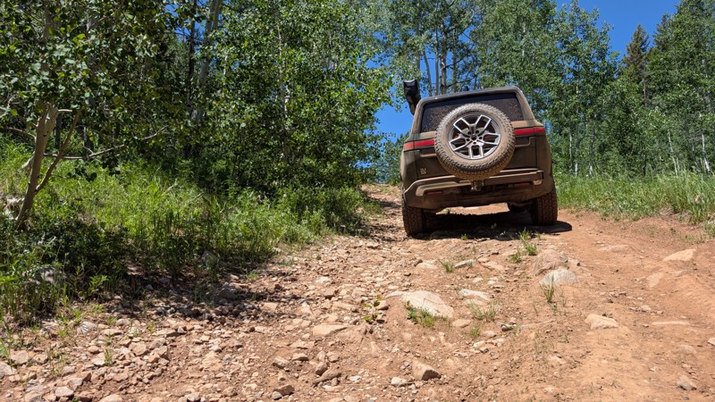
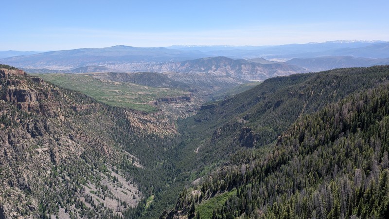
Deadhorse is a dead-end spur road off Coffee Pot Road, along the Flattops in White River National Forest. The road is a rough and rocky, lightly used two-track, cutting through the 2020 Grizzly Creek Fire burn scar. Consistently smooth granite rocks the size of softballs and footballs, barely poking through the soil surface, create the trail's roughness. When not traveling through burnt trees, Deadhorse offers fantastic views across Glennwood Canyon, all the way to Mount Sopris and the Elk Mountains Range. Dense ground vegetation, including Aspen saplings, squeeze tight against the trail's edge, making it nearly impossible to avoid pinstriping your paint. The trail ends abruptly at a small turnaround, only large enough for a few vehicles.
This trail is suitable for any high clearance vehicle. 4WD is not necessary. Airing down is highly recommended to make for a smoother ride.
Dispersed camping is allowed along the entire route, with plenty of open, level areas. However, no previously used campsites were observed, most likely due to regrowth that has occurred since the fire.
Deep Creek Overlook
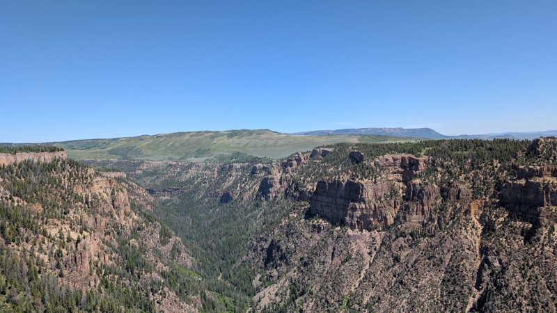
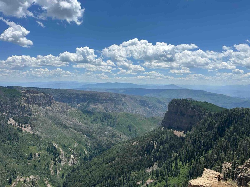
Deep Creek Overlook is an easy, short spur road off Coffee Pot Road that leads to breathtaking views of Deep Creek Canyon. From a large parking lot, an easy hiking trail takes you to a fenced viewpoint where you can soak in a stunning, 180-degree panorama. Your view will stretch across a vast horizon, including some of Colorado's highest peaks and the distant ribbon of I-70. Ample parking is available at the trailhead, which provides access to two different trails. This quick adventure is a perfect addition for anyone exploring the Flat Tops area.
Wagon Gulch
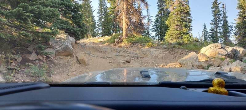
If you're in the Flat Tops on a busy day and looking for an escape, this trail is for you. A high-clearance 4WD vehicle is strongly recommended due to a few steep, rocky climbs (up to a 17-degree pitch) and large humps that require good ground clearance; a stock 4x4 should be sufficient.
The double-track road leads you through beautiful aspen groves and into serene, silent meadows dotted with wildflowers. Be advised, there is a high risk of vehicle pinstriping from brush along the trail. The route concludes at a gate, although the MVUM map shows the road continuing for another 0.2 miles, there is no discernible trail beyond this point. It's the perfect place to find true quiet; we visited on a weekend and saw absolutely no one.
Camping: According to the MVUM, dispersed camping is permitted along this road. However, you will not find any established campsites. To protect this area, please use established campsites elsewhere.

Unlock all of the details on every Trail Guide and Scout Route.
Start a 7-day Free Trial
