










By clicking "ACCEPT", you agree to be the terms and conditions of each policy linked to above. You also agree to the storing of cookies on your device to facilitate the operation and functionality of our site, enhance and customize your user experience, and to analyze how our site is used.
Utah Off-Road Trails
359
Total Trail Guides 334

4759
Detailed Waypoints 925
Try a Free 7-Day Trial and unlock it all
Start a Free Trial Most Recent Trail Reviews
Rated 5/5
Open
Visited: 09/25/2026
We drove this top to bottom in a 2025 Tundra on 34s. No real obstacles, just rough and steep.

SS
Sebastian S.
P
Peaks&Pixels
No Rating
Open
Visited: 09/24/2026
This trail has been graded recently and is now an easy trail.
IE
Ingrid Enyeart
Rated 5/5
Partially Open
Visited: 09/22/2026
The portion of the trail between the fork at 11 and the fork at 13 has two major ledges that have formed going into and out of the wash. Not sure what vehicle could overcome these. So just take the sc...


CI
Christine Irsik
Rated 4/5
Open
Visited: 09/22/2026
We enjoyed this trail and will definitely do it again. Gorgeous views at many points along the trail. We didn’t try The Wall, but everything else was just enough of a challenge for us and nice that m...
LF
Leslie F
No Rating
Open
Visited: 09/22/2026
Drove out here in a thunderstorm after doing dome plateau overlook. Epic camping. peaceful. unparalleled views. trail had two steep rocky sections I used 4wd low but probably didn't need to.

JR
jon ross
No Rating
Open
Visited: 09/21/2026
This is a short 2 mile of so cut off trail. Has a wash out with a by pass half way through.



Earl Neisler
Earl Neisler
Rated 2/5
Open
Visited: 09/21/2026
Pinstripe Alley nonstop for the first 4 miles. INo view to be had until waypoint 7. It was a beautiful view then we turned around. Should’ve read the reviews before we started the trail, because th...
LF
Leslie F
Rated 5/5
Open
Visited: 09/21/2026
This is a highlight for the trip. We stayed at waypoint10 for the night.


Earl Neisler
Rated 4/5
Open
Visited: 09/21/2026
Nice connector. The short out back was the hardest and not that short.


Earl Neisler
Rated 4/5
Open
Visited: 09/21/2026
A well maintained road. Found a nice camp site on the south in.
Earl Neisler

Jesse Martin
Jesse Martin
Rated 5/5
Open
Visited: 09/20/2026
Great area to go camping and gather for family reunions. There are multiple other trails that fork off throughout the trail to explore.

Dustin
Earl Neisler
Rated 5/5
Open
Visited: 09/20/2026
Only did apart due to time. This is 1 I will come back and finish.

Earl Neisler
Rated 3/5
Open
Visited: 09/20/2026
Not much to say it a slow easy. A good connecting trail.
Earl Neisler
No Rating
Open
Visited: 09/20/2026
We started just south of Cottonwood Canyon. We stop and looked but could not fine the rock art. The area was a nice to see all the green.


Earl Neisler
Rated 4/5
Open
Visited: 09/19/2026
Great trail, we drove through waypoints 24-35. Easy ride with a good amount of mud holes with few ruts on the stretch we drove. Would love to complete the whole trail at a later date.
Dustin
Rated 4/5
Open
Visited: 09/19/2026
Fun easy trail. Great way to get out and enjoy a relaxing trail ride to take in nature and see the fall colors.
Dustin
Rated 5/5
Open
Visited: 09/19/2026
Great Trail! The scenery was good with lots of wildlife. The trail was diverse that give drivers the opportunity to use both high and low four wheel drive. Trail has both wide and narrow areas.
Dustin
Rated 5/5
Open
Visited: 09/18/2026
I run this trail every year. Always fun and beautiful views. Fair amount of off camber sections.

Jeff Klaassen
Rated 5/5
Open
Visited: 09/18/2026
This was a good trail. The trail still had so flood damage but was passable. Highly recommended this. Has some all some view. We took 2 day to enjoy the ride and views.


Earl Neisler
No Rating
Open
Visited: 09/16/2026
Very fun, short trail. We did the loop but not Wipeout Hill. The sandy sections were a blast and there were a few ledges and obstacles that probably warrant a 5 but are still a fun challenge. We did i...



Mark Signorelli
Rated 4/5
Open
Visited: 09/15/2026
Ran this one and it's a decent stretch for anyone with a high clearance 4x4. The early sagebrush section had me watching my GPS track closely since the road nearly disappears a few times, but it alway...



Jay North
Official Crew
Rated 4/5
Open
Visited: 09/15/2026
Ran this as a quick add-on while working through the rest of the Red Hills network, and it's a fun one to knock out in under an hour. The wash crossing is the one spot where you actually have to think...


Jay North
Official Crew
Rated 3/5
Open
Visited: 09/15/2026
Ran this one on a dry afternoon and came away satisfied without being blown away. The rocky, rolling grade keeps things interesting without ever feeling out of reach for a stock high clearance rig, th...


Jay North
Official Crew
Rated 4/5
Open
Visited: 09/15/2026
Ran this one on an afternoon when I didn't have time for a full day out, and it delivered more than I expected for a short climb. The hill about a mile in makes you actually think about your line, and...


Jay North
Official Crew
Rated 4/5
Open
Visited: 09/13/2026
Red Peak Road is a short, easy cruise that's mostly smooth dirt with just enough texture to keep it interesting. There's a mild rough patch early on and a slightly rockier stretch past the halfway poi...


Jay North
Official Crew
Rated 2/5
Open
Visited: 09/13/2026
This is an easy, low-key cruise with a short technical bump right in the middle where it ties into the rest of the network, otherwise it is just packed dirt and gravel the whole way. Nothing here dema...


Jay North
Official Crew
Rated 4/5
Open
Visited: 09/13/2026
This one's an easy, mellow cruiser and it shows in how quick it feels behind the wheel. The rocky spots near the start and about two thirds up are barely worth mentioning, just some careful tire place...


Jay North
Official Crew
Rated 5/5
Open
Visited: 09/13/2026
This one's a fun add-on if you're already out in the area, easy enough for most of the way that a stock rig won't break a sweat, with just a couple of hard spots to keep things interesting. The washou...


Jay North
Official Crew
Rated 4/5
Open
Visited: 09/13/2026
A nice view of Kanab. Steepish and possibly slick when muddy. One spot has a small rock shelf. 4x4 recommended.


Ben Ruddell
Official Crew
Rated 3/5
Open
Visited: 09/13/2026
Easy, suitable for high clearance 2WD on a dry day, though four wheel drive earns its keep if the ground's been wet. The ruts along the way are mild and easy to place your tires around, and the two wa...


Jay North
Official Crew
No Rating
Open
Visited: 09/12/2026
Crazy no reviews since I ran it last May. We ran it again this time the whole trail out to the south overlook. It had rained the night before and into the morning. The rock dried up quick but a lot o...



Andrew Hotton
Rated 5/5
Open
Visited: 09/12/2026
Sand dunes. DANGER, you need to know your technique to head in here. It’s easy to misjudge slope and camber and get stuck or worse roll.


Ben Ruddell
Official Crew
Rated 3/5
Open
Visited: 09/12/2026
The section of the trail was rocky and rough - still fairly easy but the rockiest stretch.
WF
Wyatt Frampton
Rated 4/5
Open
Visited: 09/12/2026
This trail checks so, so many of the boxes -- hanging off a cliff, passing within 4" of rocks on BOTH sides at the same time on narrow sections, meaningful obstacles (ledges) where I smacked my hitch ...
IR
Isaac R
Rated 3/5
Open
Visited: 09/12/2026
This is an easy, high clearance 2WD road, easy enough that the drive itself isn't the draw. The shelf road stretch is mild and only about two jeeps wide, so keep an eye out for oncoming traffic, and t...


Jay North
Official Crew
Rated 2/5
Open
Visited: 09/12/2026
This is a mellow, low-stress drive that rewards a relaxed pace more than any technical challenge. Stock high clearance handled every mile without a second thought, and the surface stayed predictable e...


Jay North
Official Crew
Rated 5/5
Open
Visited: 09/11/2026
Great rest quick trail! Perfect for beginners, fun place for a picnic. The entrance and exit terrain to the tunnel changes depending on the weather and use. Very fun and interesting.


Dustin
Rated 4/5
Open
Visited: 09/11/2026
My route didn’t originally include this trail, but one of my crew broke on impossible hill and we had to limp back to civilization. This trail was beautiful and remote. Difficulty wise, no issues on t...



Dewie Jones
Official Crew
Rated 4/5
Open
Visited: 09/10/2026
Way better than I thought it would be. This was simply a connector trail for my unsuccessful (broken Toyota) Blanding to Moab overland trip. The trail is absolutely beautiful, relatively fast access, ...
Dewie Jones
Official Crew
Rated 3/5
Open
Visited: 09/10/2026
Easy enough that I did this road in pitch-black with just headlights (no light bar or anything) on the way to see sunrise from the end of the trail (Hurrah Pass). Really straightforward, just rocky li...
IR
Isaac R
Rated 4/5
Open
Visited: 09/10/2026
Incredibly beautiful road and not really rough at all -- I did a bunch of with fully-inflated tires. I know it's just a connector but honestly I would 100% come out here again to enjoy the views, hang...
IR
Isaac R
Rated 4/5
Temporary Closure
Visited: 09/10/2026
Deep mud around river crossing prevents passage. We came from Goblin Valley side, we were able to cross the river but there was deep mud on south side due to recent rains. Almost got stuck, had to go ...

Thomas A Youngerman
Rated 5/5
Open
Visited: 09/09/2026
Incredible bucket list trail that you must do if you can. DON'T do it in 1 day unless you like rushing it, unfortunately circumstances changed that required us to rush it. It's gorgeous and worth an o...



Sean Allen
Rated 5/5
Open
Visited: 09/09/2026
I built this into our rocklanding/overland route and really enjoyed the adventure. You can tell this isn’t well traveled which added to the experience. With that said, we’re trying to get to Moab from...


Dewie Jones
Official Crew
Thomas A Youngerman
Most Popular

Updated: 04/10/2026
D2930
Green River, Utah
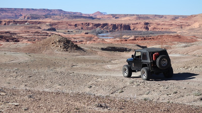
D2930 runs 3 miles out-and-back across a rugged desert landscape, offering distant views of Ruby Ranch and the Green River. The route follows a deeply rutted two-track to the base of Dellenbaugh Butte, where access to the Green River continues on foot. This trail requires 4WD, high ground clearance, and strong approach and departure angles. Washout trenches are extremely deep and can easily swallow a 33-inch tire. Reaching the very end also requires climbing a vertical, off-camber rocky ledge. The trail ends at a fence that blocks vehicle access to the river, so please respect the boundary and continue only on foot. There are no established campsites along the trail.
Updated: 04/10/2026
San Rafael 923
Green River, Utah
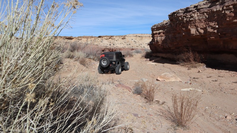
A random gate along SR-24 grants access to San Rafael 923 and the adventures that await within The Swell. The trail is passable with stock type 4x4s with high ground clearance and durable offroad tires. The trail drops down into a canyon where there is a rocky climb, potentially requiring 4x4 in larger vehicles. The trail is wide enough for all vehicles and trailers. It takes about 15 minutes, unless you stop to explore the unique fossilized rocks in the wash. No camping exists along the route. However, abundant camping is available in the southern portion of San Rafael Reef.
Updated: 03/09/2026
D1005
Moab, Utah
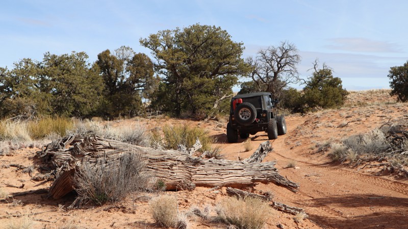
D1005 is a rocky and bumpy crossover engulfed by dense Pinyon Pine and Utah Junipers, offering fleeting distant views. The entire 1.8 miles is a twisting, bumpy ride through a natural high desert forest. The countless, still-standing dead trees are grey carcasses of their past. The trail requires 4WD high clearance, skid plate protection, and durable offroad-type tires. There are a couple of hills with vertical ledges 6-10" tall. Traveling south to north is the easiest direction, and takes about 45 minutes to cross over. The terrain is rugged, so no established camping was found along the route. A short distance from the junction with D1006, you can find one small campsite on that trail.
Updated: 03/09/2026
D1008
Moab, Utah
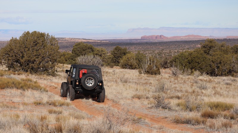
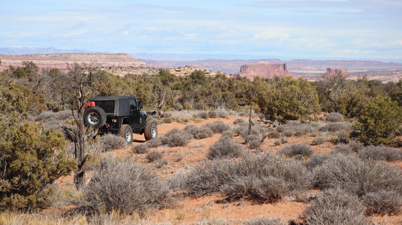
Plan your trip for a clear day, and this short but rewarding loop will deliver big views that feel far larger than the mileage suggests. If you really want to soak it in, claim one of the tucked-away campsites nestled among the trees and make a weekend of it. Be aware that the sand can turn soft, especially during the heat of summer, and 4WD may be helpful in those sections. The trail threads through tight, twisting trees, so expect potential pinstriping if you run the entire loop. Most camping is concentrated near the western trailhead, where fairly level dirt sites offer easy access and a comfortable basecamp. Remember, firewood gathering is not allowed here, so plan ahead and bring approved regional firewood with you.
Updated: 03/09/2026
D1758A
Moab, Utah
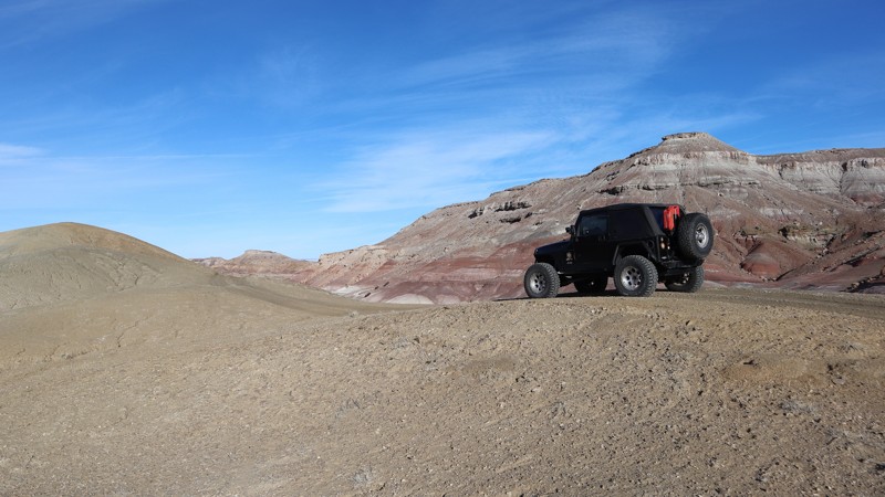
The signs at the trailhead say Dead End and No Camping for a 1/2 mile. What they don't say is that at the end of the 0.7-mile trail is a single campsite with amazing views all to itself. The entire route is hard pack and soft sand right-up to the end where the legal path ends at a sandstone slab overlook with a campsite tucked off to the side. It's worth poking your nose in here to see if it's open; you won't regret it. In dry conditions, it's passable in high-clearance 2WD, but the sand can be soft in the summer.
Updated: 04/10/2026
D3041
Green River, Utah
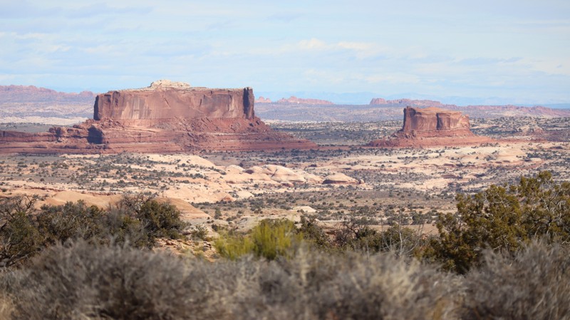
D3041 travels along a barren, unforgiving landscape with a colorful backdrop. The soft brown dirt two-track zig-zags over rolling hills and across rutted open prairie land. The deep, 12-24", vertical cross-cut trenches require significant approach and departure angles. Four-wheel drive, durable tires, and high clearance are required for the ruts, soft sand, and rocky sections. There is abundant camping at the western trailhead along Ruby Ranch Road. The camping is a wide-open space with room for RV campers and large groups.
Updated: 03/09/2026
D1972
Moab, Utah
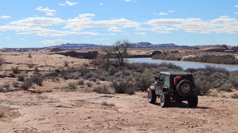
Under a mile long, D1972 easily leads out and back to wonderful overlooks and area mountain bike trails. The trail begins with a wide-open prairie, climbs up to the trees, and then passes through a bumpy section of small rocks. The trail ends at an overlook and continuation of the Coney Islands bicycle trail. The trail requires a little extra ground clearance to reach the end, but can be completed in 2WD. Unfortunately, camping is not allowed along this trail.
Updated: 04/10/2026
D8210
Green River, Utah
Ending on the edge of the sprawling Ruby Ranch, D8210 leads out-and-back to an overlook of the Green River. Branching off of D2930, the rough two-track is almost invisible at times. Crossing large sandstone slabs without trail markers is likely the most difficult part. There are no obstacles or deep washouts. The trail ends above a vertical rock ledge, where you must walk a short distance to climb the red rocks for amazing views of the river and Dellenbaugh Butte. The very end offers a wonderful and picturesque spot to set up a roof-top tent for the night.
Updated: 04/10/2026
D1781
Moab, Utah
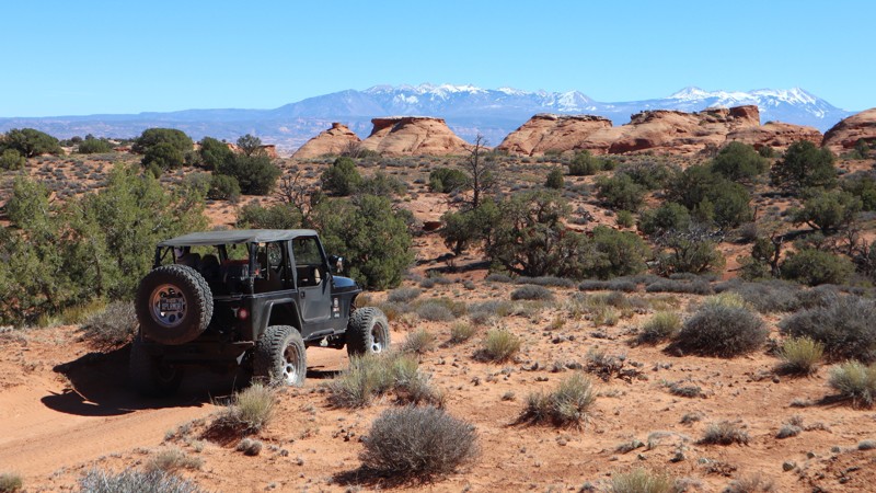
"Keep going to the end, there's an amazing campsite". Not far from Gemini Bridges, tucked back at the very end of D1781, is that Instagram campsite you've been looking for. At just over 3/4-mile, and doable in a stock 4x4, this is a no-brainer for an individual or small group to set up the RTT and time-lapse camera. The trail in is soft two-track sand ruts, but the end is rolling sandstone slabs right up to the cliff edge. Once you set up base camp, be sure to head over to Boulder Bridge and explore those canyons.
Updated: 07/16/2026
Six Mile Road
Laketown, Utah
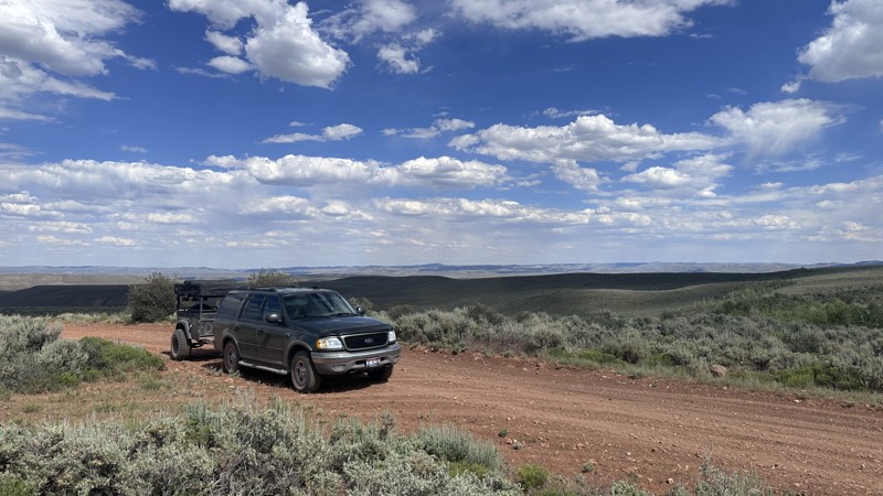
Six Mile Road is an easy gravel route that climbs from Laketown Canyon east of Bear Lake before connecting with Manhead Road a few miles north of Sage Creek Junction. While the drive itself is straightforward and suitable for most vehicles, it serves as a scenic gateway into the surrounding mountains and provides access to an extensive network of roads and trails for continued exploration by 4x4s, side-by-sides, and ATVs. Along the way, the road passes Sixmile Reservoir, a small reservoir that offers opportunities for fishing, wildlife viewing, or simply taking a break to enjoy the scenery.
The route passes through several open mountain valleys with seasonal streams that add a welcome splash of green to the landscape. Expansive views from the higher elevations make the drive worthwhile, and it's common to encounter grazing cattle and sheep along the way. Although the trail is relatively short and lacks technical challenges, it's an enjoyable, scenic connector that opens the door to many more opportunities to explore the mountains east of Bear Lake.
Updated: 08/11/2026
Nobletts Ridge
Woodland, Utah
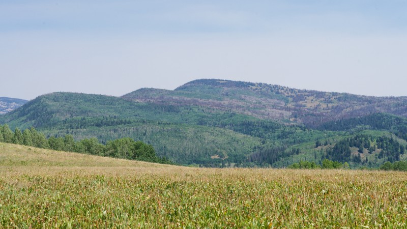
Nobletts Ridge is a short trail climbing a wooded ridge shoulder above Long Hollow just off the Wolf Creek Highway (SR-35) corridor. The route winds through mixed conifer and a dense aspen grove, with occasional breaks in the canopy offering views back toward the hollow. Most travelers use it as a scenic out-and-back detour rather than a through-connector, drawn by the aspen tunnel about a mile in that is especially striking in early fall.
The road stays one vehicle wide through much of the aspen grove, so drivers should watch for oncoming traffic. Suitable camping can be found along the trail.
Updated: 08/13/2026
Dry Hollow Road
Woodland, Utah
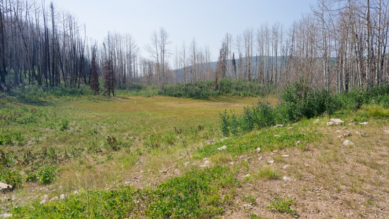
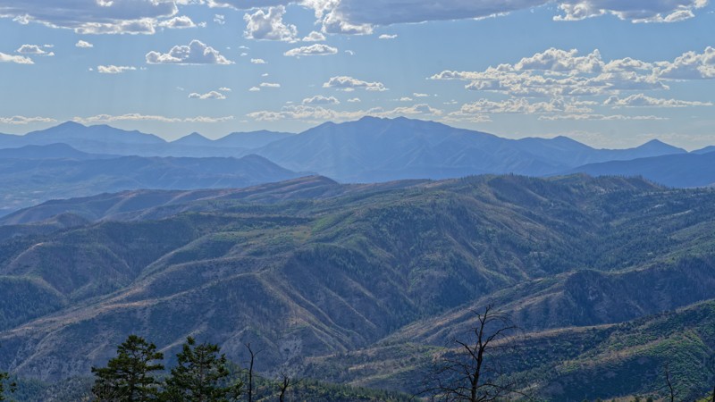
Dry Hollow Road is a short connector route at just 0.4 miles one way, it climbs about 210 feet from a burned hillside through recovering forest, passing a seasonal pond before ending in a meadow at a junction with the ATV trail network. It works well as a short add-on for riders already exploring the Soapstone Basin area, offering a quick out-and-back with a bit of technical interest along the way.
There is one dispersed campsite at the end of the road, large enough to comfortably fit two rigs or a single rig with a trailer. It offers some shade and privacy, though not extensively. Riders looking for a larger or more secluded site should plan to look elsewhere in the Soapstone Basin area.
Updated: 08/26/2026
West Side Strawberry
West Portal, Utah
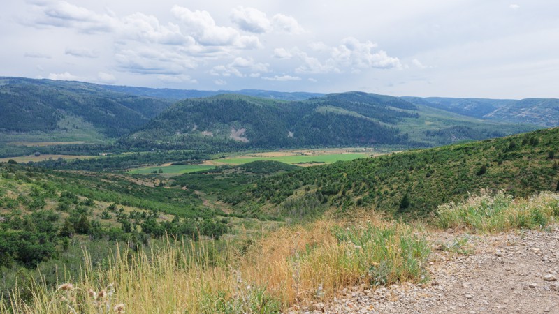
This route offers a mellow way to connect the west side of Strawberry Reservoir south toward the Indianola area, making it a solid pick for someone easing into backcountry driving in the Wasatch. Along the way, a short detour on Spur 70453 leads to the Willow Creek Guard Station, a pair of weathered but standing buildings with a usable outhouse (bring your own toilet paper). Further south, the road climbs onto a ridge before working through a shelf road section wide enough to pass oncoming traffic.
Difficulty is Easy, typically suitable for a high clearance 2WD, though a rough stretch of washboard and ruts near the guard station will slow the pace. There are no notable trail concerns to plan around beyond staying on the road near the south end, where the route runs close to private property.
Dispersed camping is plentiful, with dozens of spots scattered across several clusters along the route. Most, including the sites near the reservoir at the start and those near the guard station, sit wide open with no shade or privacy but easy access. A handful of spots farther south offer both shade and privacy for those wanting more seclusion.
Updated: 08/11/2026
Cedar Hollow
Woodland, Utah
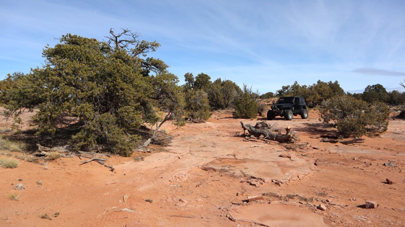
The trail climbs out of a pine and aspen forest in the Wasatch National Forest. Over 3.5 miles, it gains about 1,230 feet, running as a narrow shelf road through the trees before opening into a high, small meadow. Along the way, it passes a junction with an information board and pit toilets where the Aspen Pass ATV trail ties in, and it ends at a three-way junction that offers several routes to continue exploring, making Cedar Hollow useful both as a scenic out-and-back and as a connector into a larger network of trails.
The road is manageable for a stock high clearance vehicle; four-wheel drive isn't strictly necessary in dry conditions, but it helps on the loose rock and erosion found in the upper half. Two steep switchbacks hold good traction, and drivers should watch for embedded rock ledges and tight tree cover that can scratch wider vehicles. Camping is available at several dry, pine-shaded sites along the lower half of the trail, including one large enough for two or three big rigs; no developed facilities are available beyond the pit toilets at the upper junction.
Updated: 03/09/2026
D1006
Moab, Utah
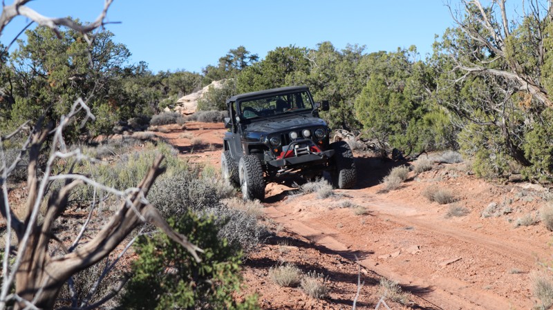
D1006 is a rocky and bumpy connector trail surrounded by dense Pinyon Pine and Utah Junipers. For the entire mile, you're bouncing and twisting through a high desert forest. The trail requires high clearance and durable off-road-type tires for the sharp rocks. A short distance from the junction with D1005, there is one small campsite on a short spur of sandstone. Follow the track closely through the zigzag section; it can get confusing staying on track. Pinstripping is almost guaranteed along this trail; thus, if you enjoy your paint, you will want to avoid this one.
Updated: 04/10/2026
D1740
Moab, Utah
An overgrown tight trail, without much room to turn around or camp at the end. D1740 once traveled about twice as far as it currently does. It now travels across lush restoration land, before ending at a fence line with a small turnaround spot. If you choose to camp there, keep in mind visitors are now forced to turn around in your campsite. There are no obstacles, just a brusy, and sandy two-track.
Updated: 08/11/2026
Long Hollow Campsite Road
Woodland, Utah
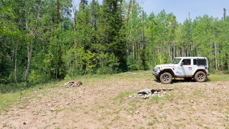
Long Hollow Campsite Road is a short, easy access spur to Long Hollow Campsite. The dirt surface has minimal ruts or washboard, grades are gentle and consistent, and there are no obstacles requiring special technique, making it a good choice for drivers building confidence with high-clearance vehicles.
Long Hollow Campsite offers dispersed camping at the end of the trail, providing a quiet base for exploring nearby trails, hiking, and ridge routes.
Updated: 08/26/2026
Strawberry Mountain
Independence, Utah
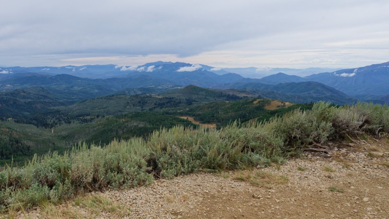
Strawberry Mountain climbs out of the timber below Strawberry Peak in the Uinta Mountains. The main route works up through rocky two-track and shelf road to the ridge below the peak, then drops north through open meadows and aspen groves before ending in a stand of aspens. The radio towers atop Strawberry Peak are the main point of interest, offering wide views of the surrounding ridgelines, and the aspen groves along the lower half of the route make for a good return trip once the leaves change in the fall. Drivers use this trail to reach the summit and its views, or simply to drive through the aspen country to the north.
The main line is rated Moderate and is within reach of a stock high clearance 4x4, with a rocky, undulated surface, obstacles under 12 inches, and a single-lane width with pullouts to pass oncoming traffic. A separate spur climbs from the main route to the actual summit and is optional, stepping up to difficult terrain that calls for a lightly modified 4x4 with a small lift and larger tires. The spur is reported to change condition often, and while a propane delivery truck does make it up to refill tanks at the tower, the road appears to be repaired ahead of that trip. Because of this, the spur's difficulty can shift between moderate and difficult depending on when it was last maintained, and it should be looked over in person before attempting the climb.
Camping along the trail is dispersed, with many sites scattered across the open flats and aspen stands below the peak and along the descent to the north. The largest of these can comfortably fit three to five rigs or a larger group, and several of the sites sit back in the trees with enough shade and separation from the road to offer some privacy, unlike the more exposed flats near the summit side of the route.
Updated: 08/11/2026
Upper Cedar Hollow
Woodland, Utah
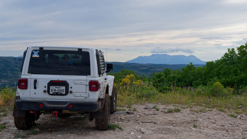
Upper Cedar Hollow OHV climbs into the Uinta Mountains east of Kamas, Utah, following Forest Service route 80178 through dense pine and aspen forest. The out-and-back trail runs 5.6 miles one way, reaching a high point of roughly 8,720 feet before rolling down into Cedar Hollow, where it dead-ends at a posted private property boundary that serves as the natural turnaround point. Along the way, drivers pass a wide viewpoint overlooking the surrounding ridgelines near the west end, making the trail a worthwhile out-and-back run for those looking to reach a scenic overlook or simply spend a few hours exploring.
The route is best suited to a stock high-clearance 4x4 with off-road tires. Terrain alternates between hard-packed dirt, embedded rock shelves, and loose rock, with a short rocky climb about ten minutes in that catches less attentive drivers off guard; a bypass is available for those who prefer to skip it. Much of the trail narrows to one vehicle wide with pull-outs for passing, and low spots can hold mud or standing water for days after a storm, so the trail is best avoided immediately following wet weather. Several dry camp spots, including one large enough for multiple rigs, are scattered along the first two miles, giving visitors an easy option to turn the drive into an overnight trip.
Updated: 04/10/2026
Dug Out Creek
Hanksville, Utah
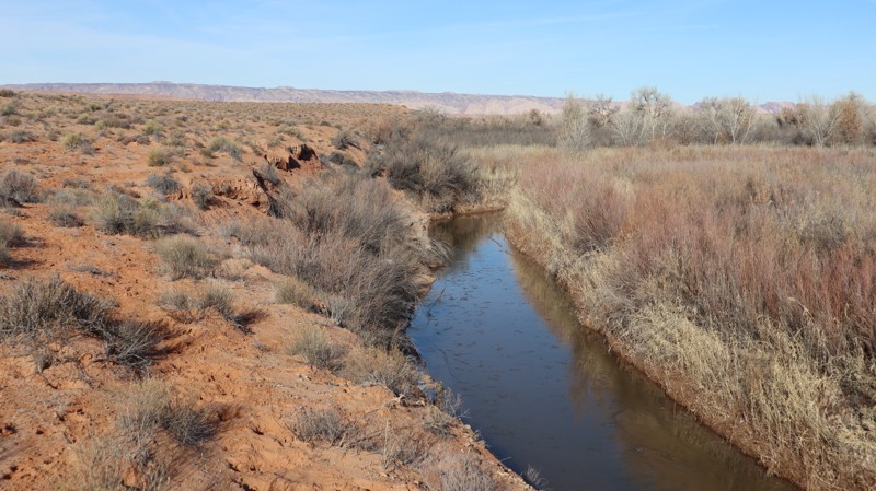
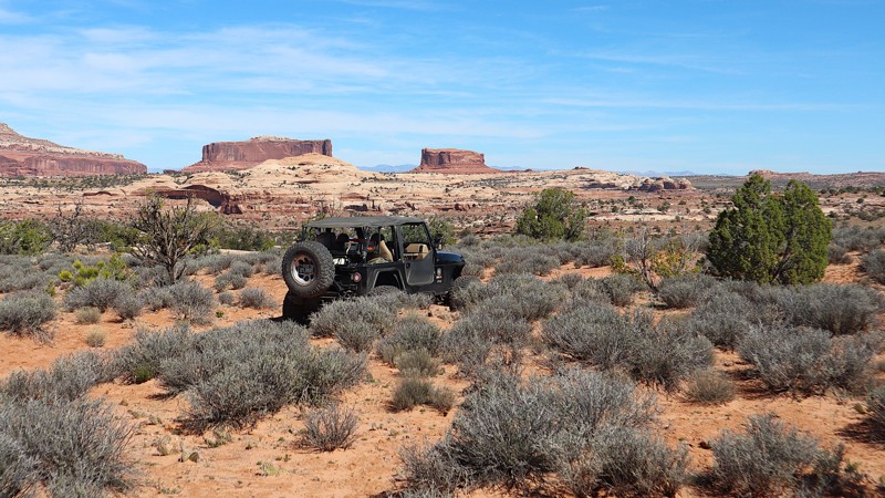
Remote and isolated, Dug Out Creek travels far out into the San Rafael Desert to a nondescript point along the San Rafael River. The southern portion of the trail connects to Saucer Basin. 98% of the trail is graded sand, but once you reach the far northern end at the view overlooking the riverbed area, a gigantic sand dune waits to trap the unsuspecting traveler. Once past the dune, the insanely bumpy final half-mile is making you realize it really wasn't worth it. No camping was found along the trail. Note that even the southern section can be extremely bumpy in the fall/winter because cattle walk the roads.
Updated: 05/01/2026
D1907
Moab, Utah
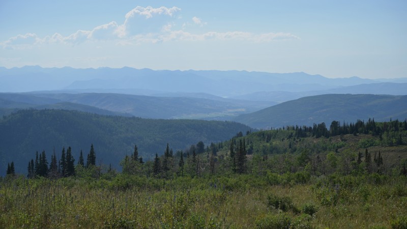
Far back into a scenic canyon is a lone turnaround campsite. D1907 offers a peaceful, secluded campsite for the adventurous traveler. The trail end can be reached in all stock-type 4x4s and enjoyed by the whole family. The trail is mild in Moab terms, and the camping is secluded. There is one turnaround at the end with room for a couple of vehicles with tents.
Updated: 08/11/2026
Piuta Road
Woodland, Utah
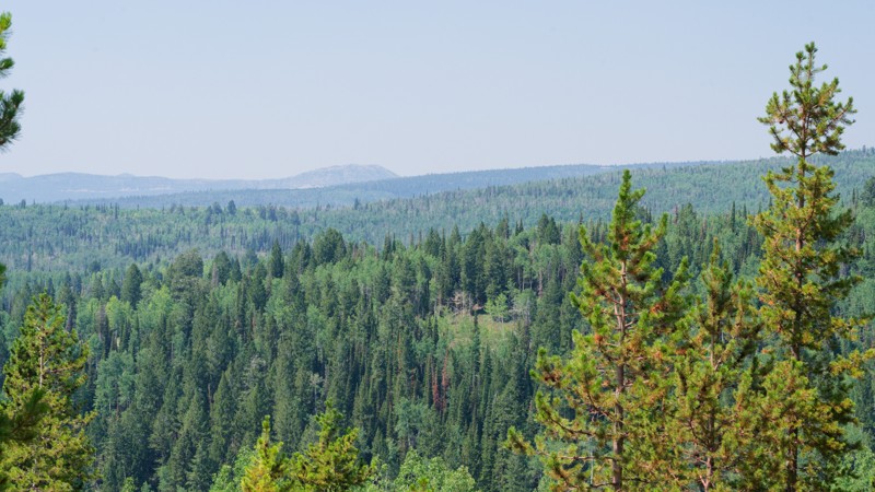
Piuta Road is a scenic high-elevation two-track in the Uinta Mountains, approximately 2 miles one direction (4 miles out and back). The route follows a wide dirt-and-rocky path with gentle grades, with one moderately rutted section that includes an easy bypass for vehicles that want to avoid obstacles.
Mount Timpanogos dominates views to the south from the upper sections, along with vistas of Woodland and Jordanelle Reservoir. Multiple well-maintained camping areas provide open parking for multiple vehicles and are ideal for large camping groups. The trail terminates at a scenic turnaround that comfortably accommodates five or six vehicles, where all traffic must turn around.
Updated: 09/10/2026
Lambert Burn
Woodland, Utah
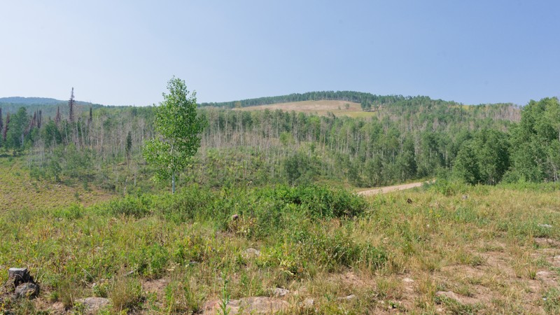
Lambert Burn Road branches off Soapstone Basin Road. The route climbs gradually through open camping flats and aspen groves before dead-ending at a fence line marking the edge of motorized travel. It's a short out-and-back, well-suited to pairing with other trails off Soapstone Basin Road for an afternoon of exploring campsites and testing a rig on a few mild obstacles. High-clearance 2WD is typically sufficient for dirt and rocky surfaces, small dips and ruts, and short, steep grades. The most demanding section comes about a third of a mile in, where the road narrows, and tire placement matters more than anywhere else on the route. Beyond that, the drive settles into an easy cruise through aspen and pine to the fence line, where a clearly posted sign marks the end of motorized travel and a good spot to turn around.
Three dispersed campsites sit along the route, spaced out among the trees and camping flats. The largest is a group site that can comfortably hold a larger gathering of rigs, while the other two are smaller. None of the sites offer meaningful shade or privacy, sitting out in open, sunny flats rather than tucked into the trees.
Updated: 08/13/2026
Lower Dry Hollow
Woodland, Utah
At just 0.2 miles, it links the main basin roads to a camping spot tucked above the drainage, with a rock slide sitting next to the site worth a look on foot. Stock vehicles can handle it, but drivers will want to watch tire placement over dirt and rock surfaces with obstacles under 3 inches. Camping is dispersed, with a single site at the end of the trail that can comfortably fit up to three rigs, or two rigs and small trailers. The site has a little shade from surrounding pine and aspen but no real privacy from the road.

Upgrade your Membership
Unlock all of the details on every Trail Guide and Scout Route.
Start a 7-day Free TrialBrowse Trails in Utah by City
Browse every Utah city with offroad trail guides.
Community
Partners

