
Mary Ellen Gulch (24.2 miles away)
Alpine, Utah
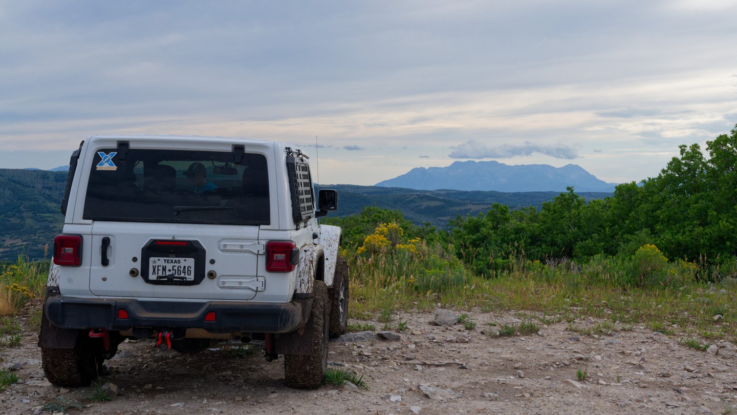

Upper Cedar Hollow OHV climbs into the Uinta Mountains east of Kamas, Utah, following Forest Service route 80178 through dense pine and aspen forest. The out-and-back trail runs 5.6 miles one way, reaching a high point of roughly 8,720 feet before rolling down into Cedar Hollow, where it dead-ends at a posted private property boundary that serves as the natural turnaround point. Along the way, drivers pass a wide viewpoint overlooking the surrounding ridgelines near the west end, making the trail a worthwhile out-and-back run for those looking to reach a scenic overlook or simply spend a few hours exploring.
The route is best suited to a stock high-clearance 4x4 with off-road tires. Terrain alternates between hard-packed dirt, embedded rock shelves, and loose rock, with a short rocky climb about ten minutes in that catches less attentive drivers off guard; a bypass is available for those who prefer to skip it. Much of the trail narrows to one vehicle wide with pull-outs for passing, and low spots can hold mud or standing water for days after a storm, so the trail is best avoided immediately following wet weather. Several dry camp spots, including one large enough for multiple rigs, are scattered along the first two miles, giving visitors an easy option to turn the drive into an overnight trip.

