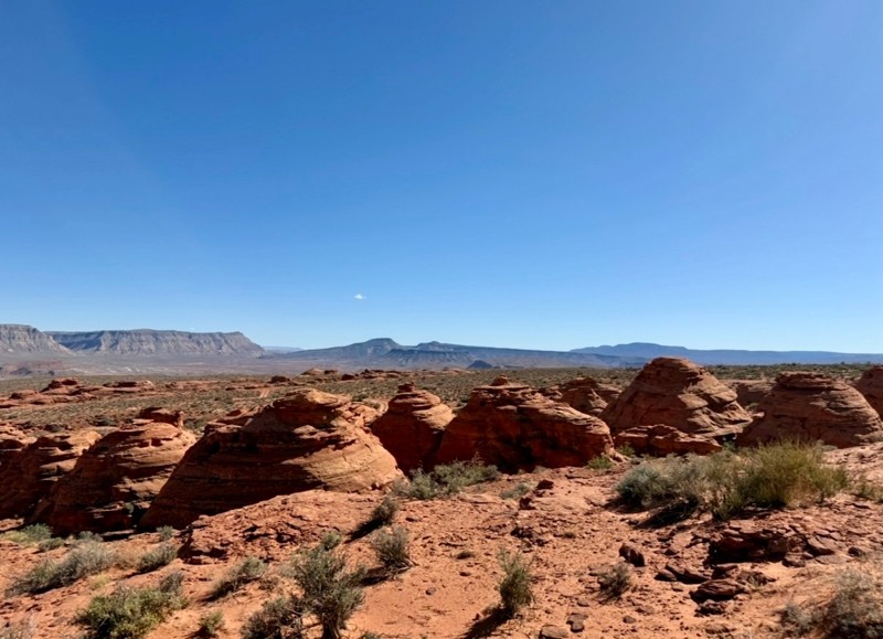
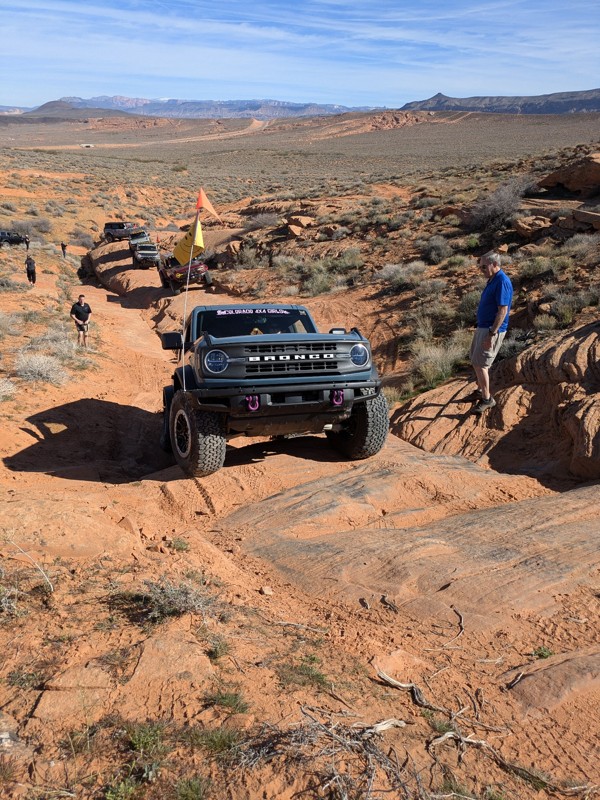
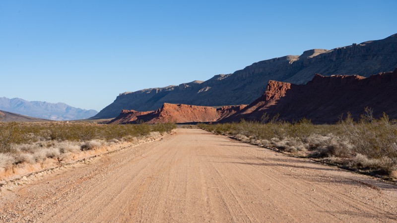
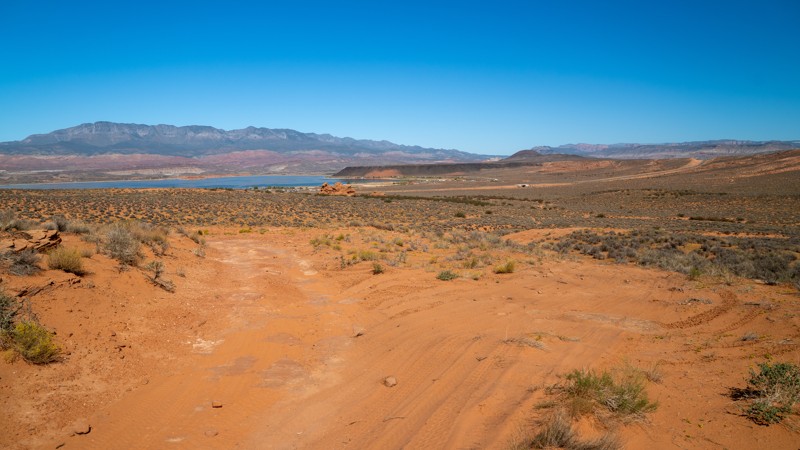
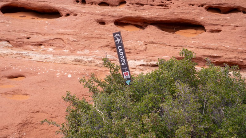
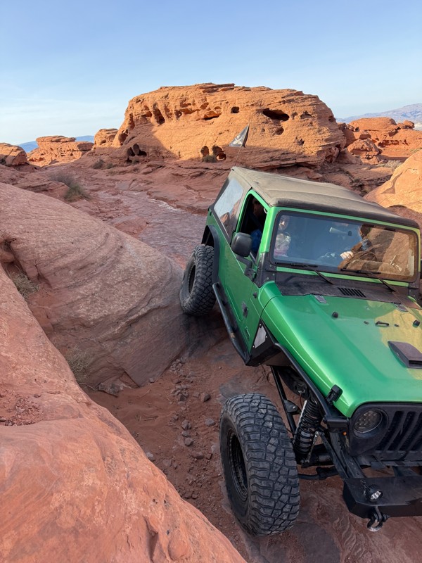
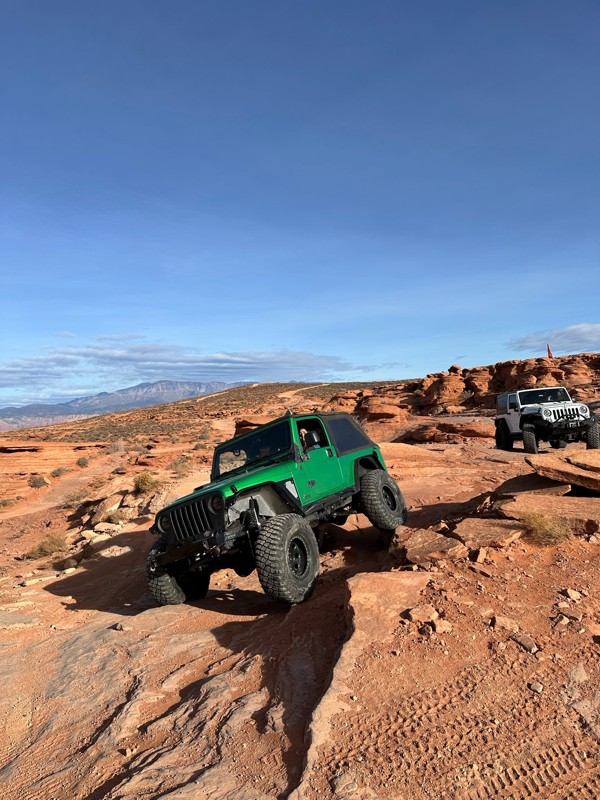
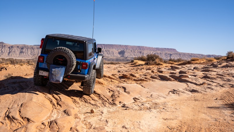
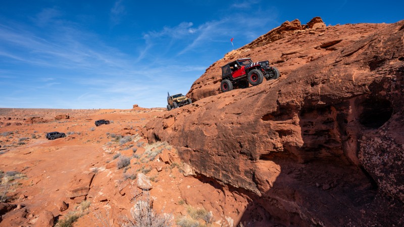
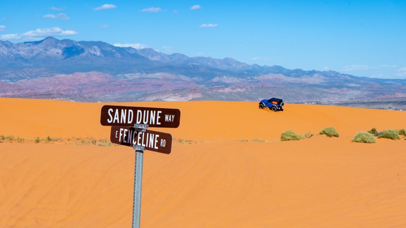
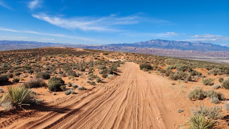
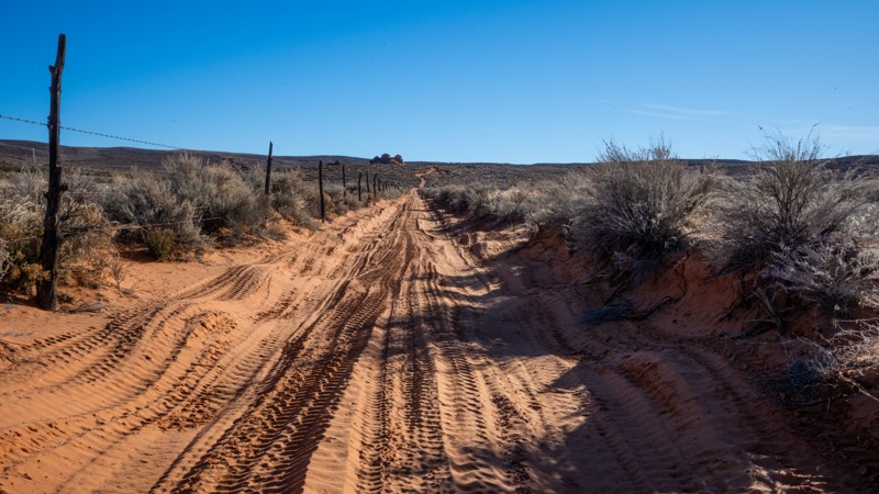
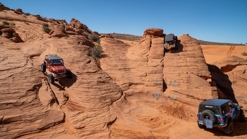
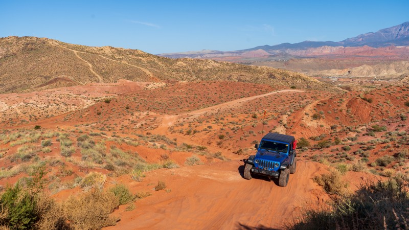
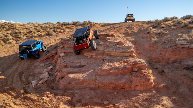
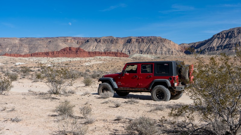
Close to the Arizona border in an area known as the backside of Sand Hollow, Queens Court is a newer trail with entirely different qualities from any other in Sand Mountain. Queens Court is a technical, boulder-strewn 3.5-mile loop with countless diff-catching rocks, small ledges, steep and loose climbs, birds-eye Arizona Strip views, and almost completely absent of any sand. The farther into this trail you travel, the more difficult it becomes. The trail does not offer bypasses for the major obstacles, and there are no winch points for self-recovery.
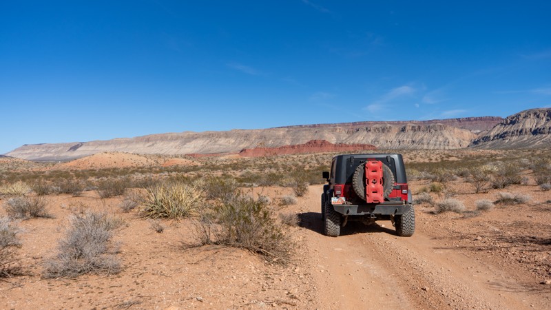
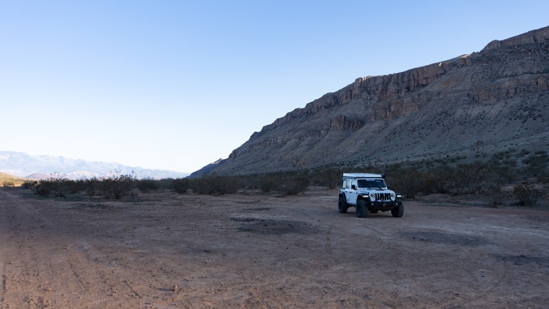
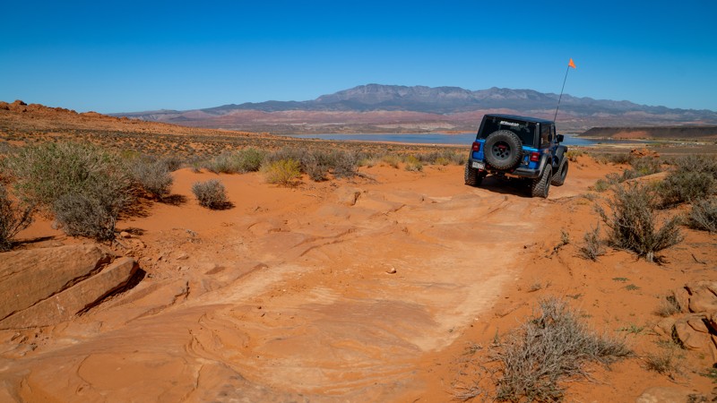
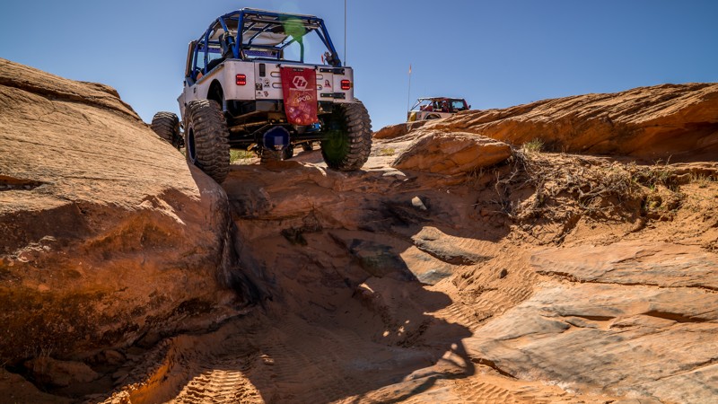
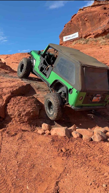
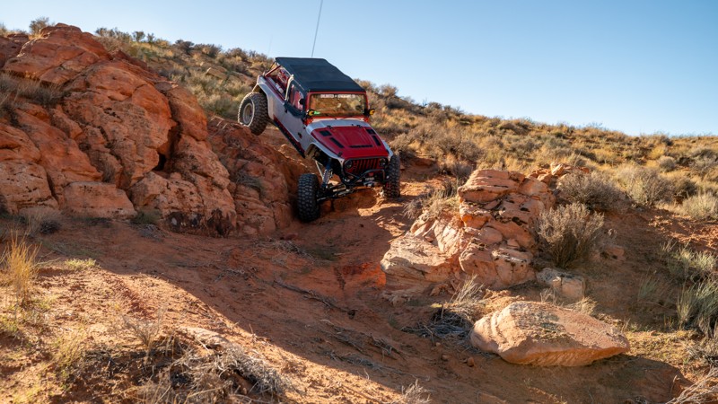
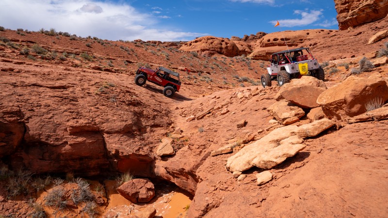
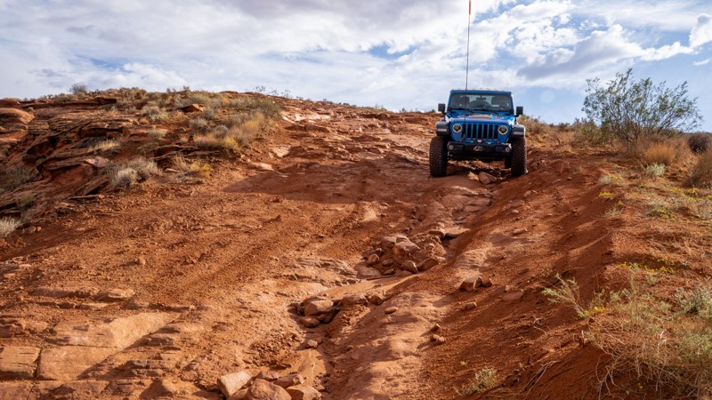
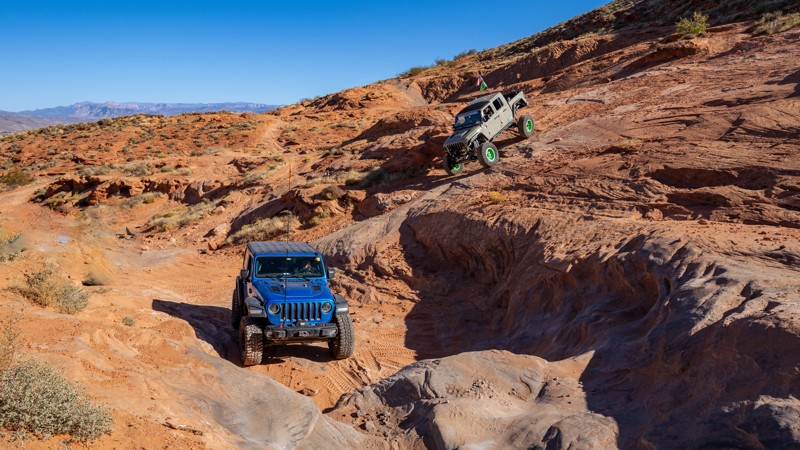
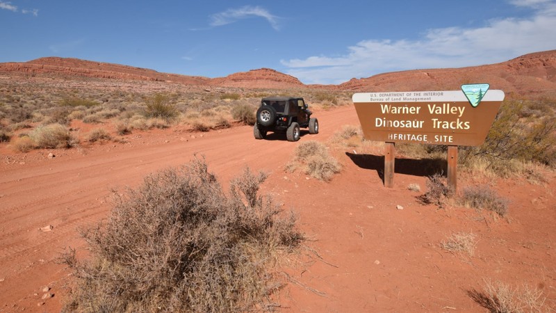
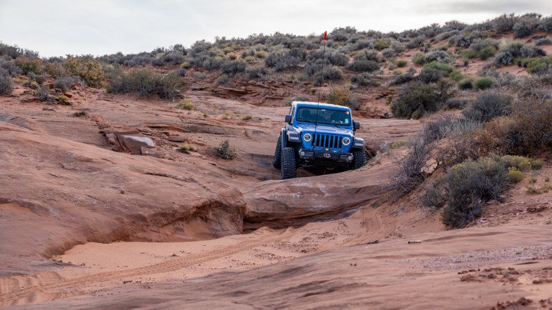
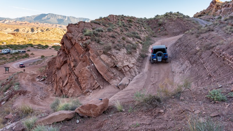
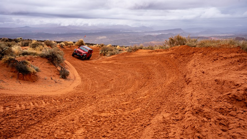
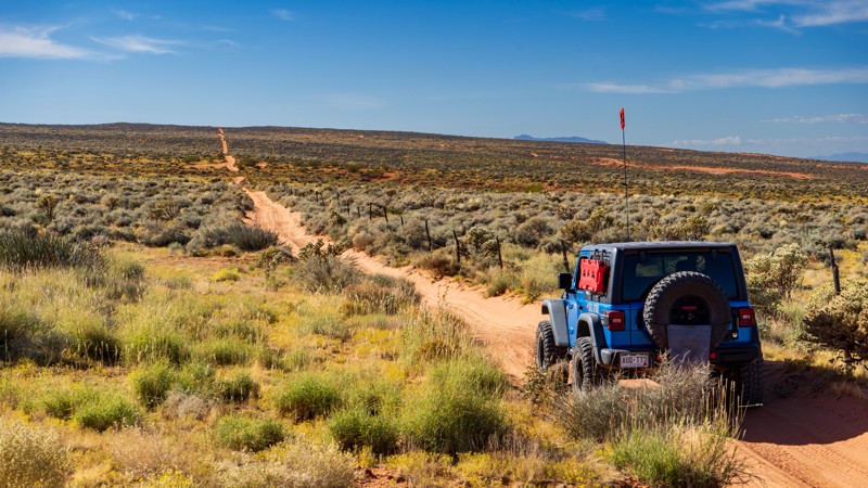
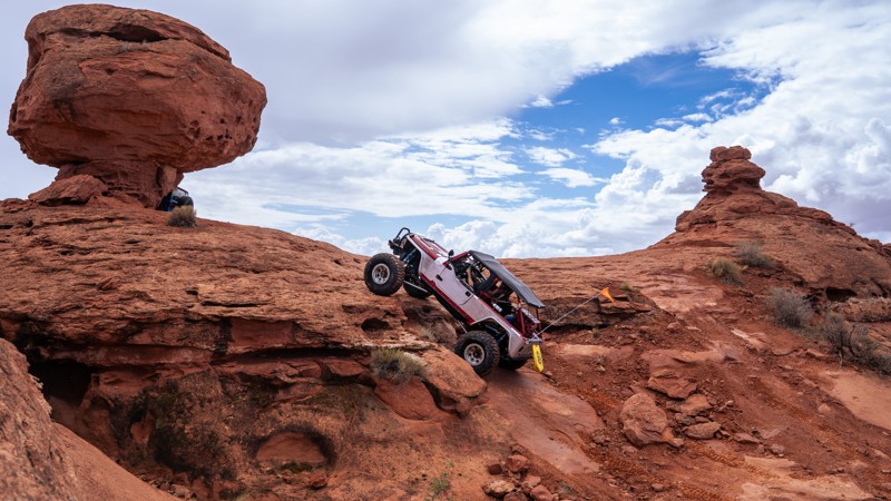
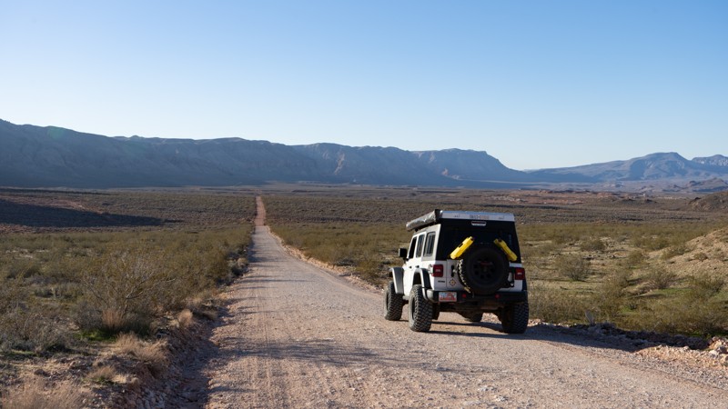
The trail starts on the eastern end of Warner Valley with large, open, dispersed camping opportunities. Queens Court is best run in the counter-clockwise direction around both loops. The first loop is a mild taste of what you will encounter later in the trail, with a small stair-step ledge. The second obstacle, named left hook, is a two-part obstacle starting with a v-notch ledge, up to a landing, and then a hard left turn up a steep, 36-degree slickrock slab with an uncomfortable amount of off-camber lean. Long-wheelbase vehicles will find the slab easier to climb than short-wheelbase vehicles. The trail climbs a loose boulder-infested hill with moving basketball-sized rocks before finishing the first loop.
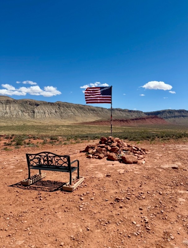
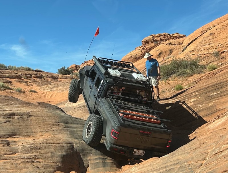
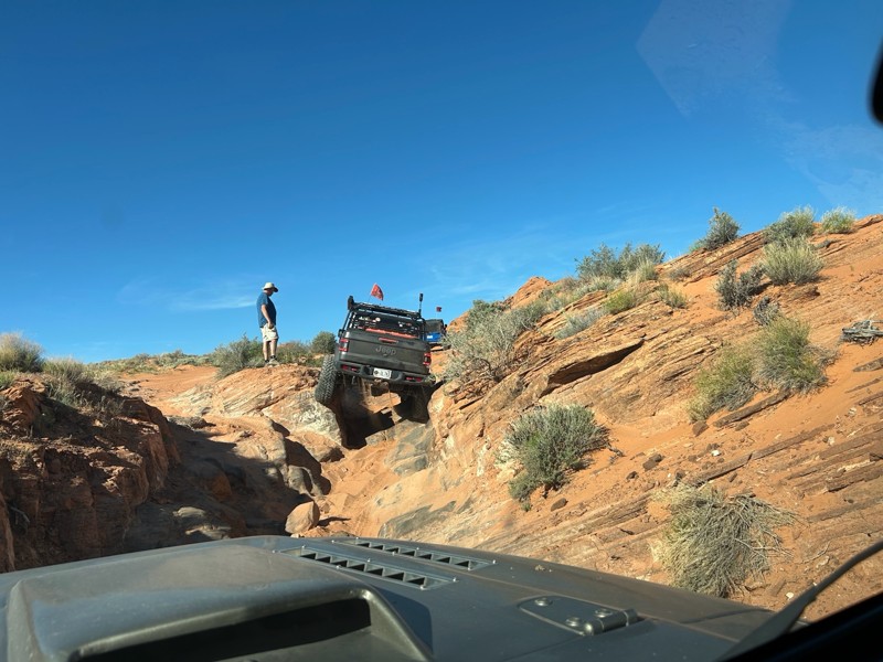
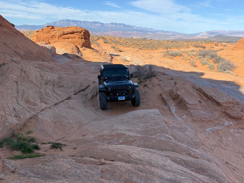
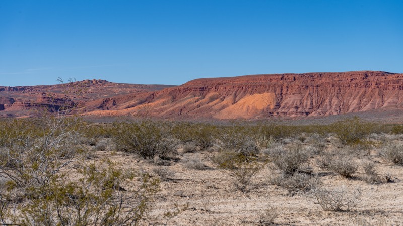
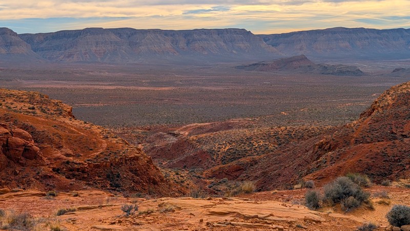
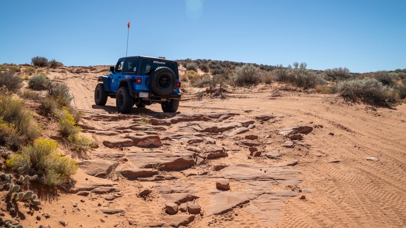
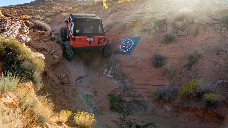
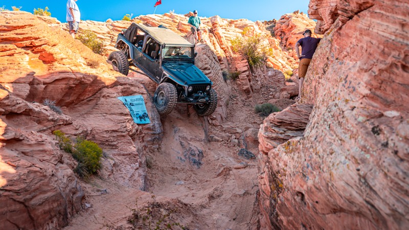
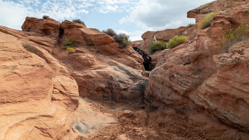
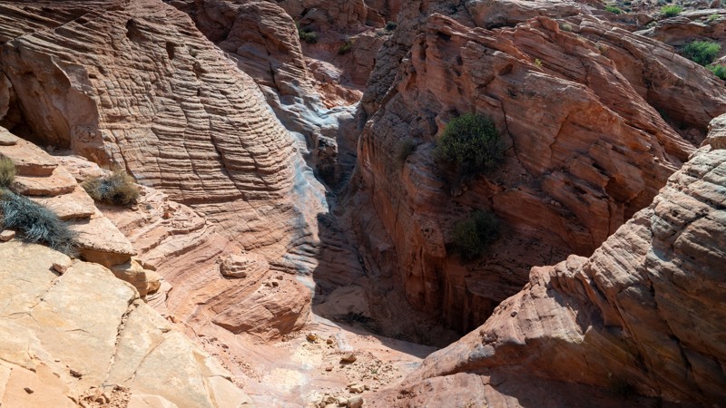
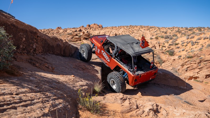
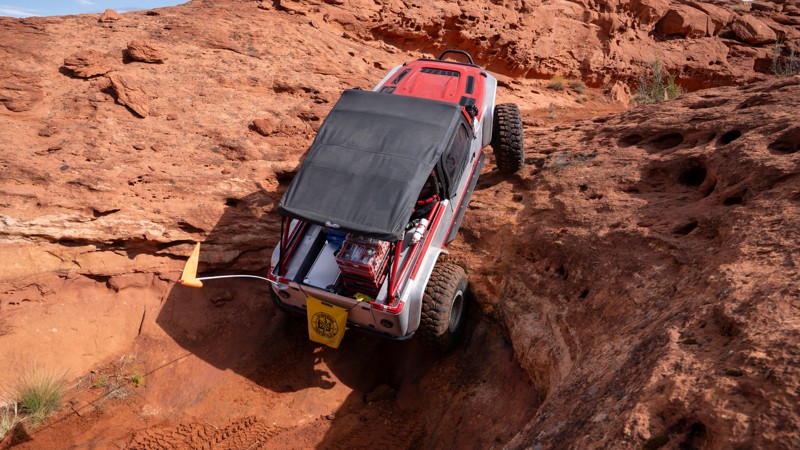
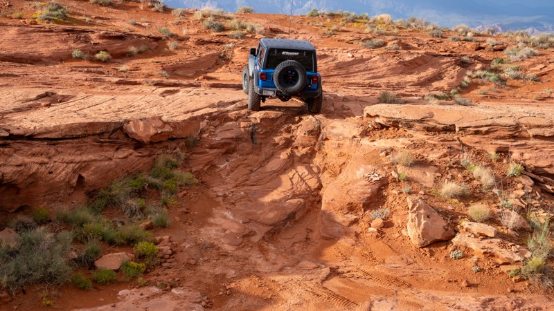
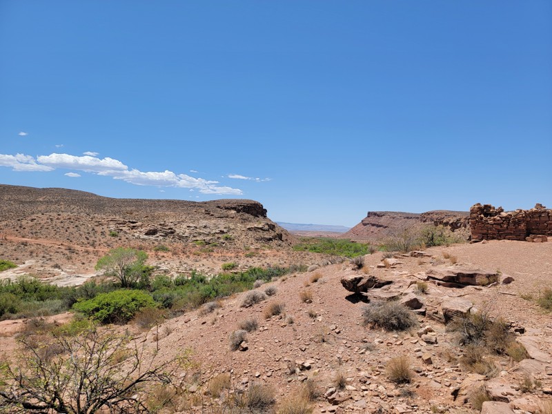
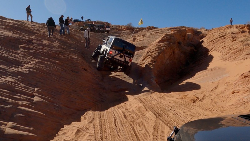
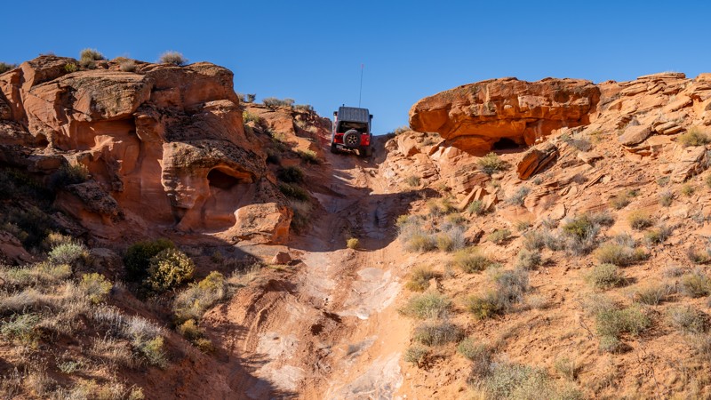
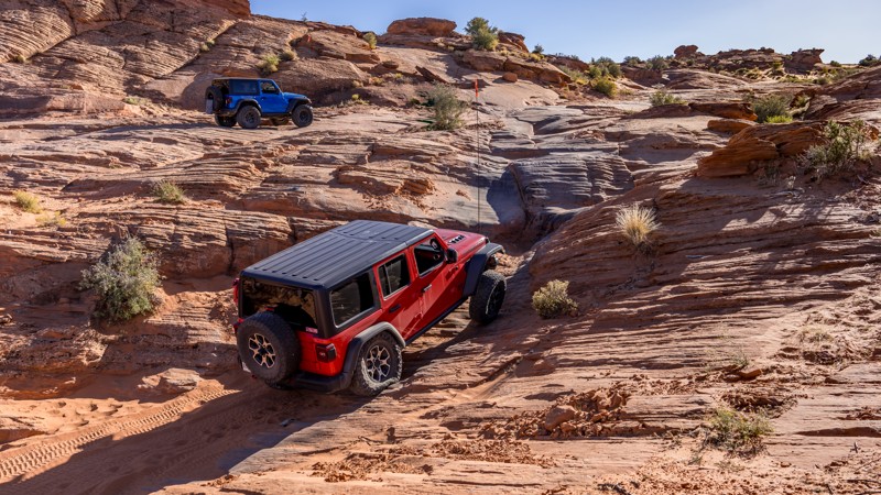
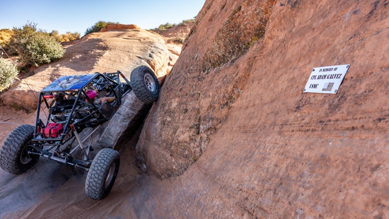
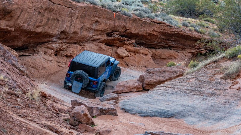
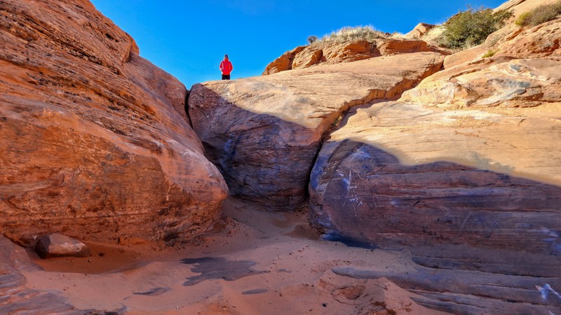
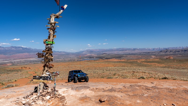
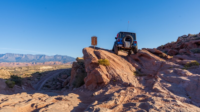
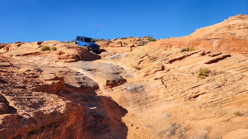
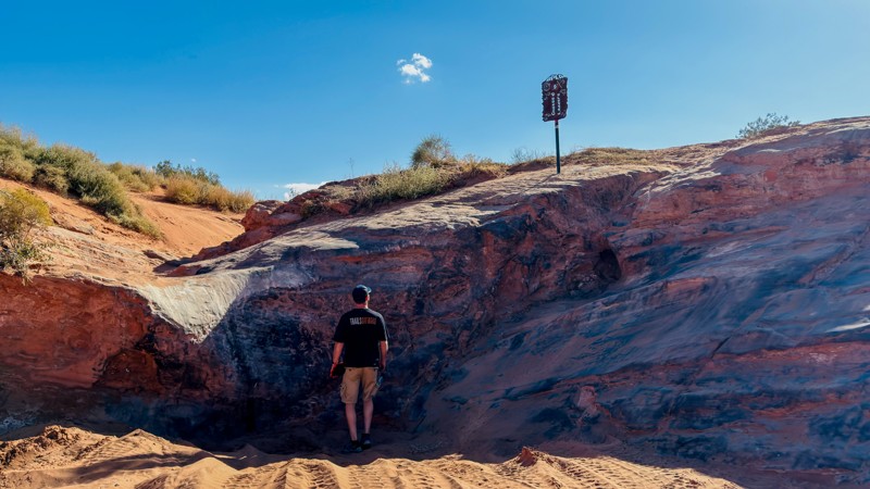
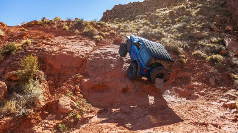
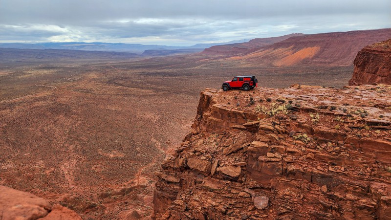
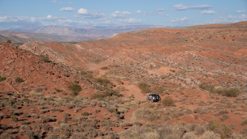
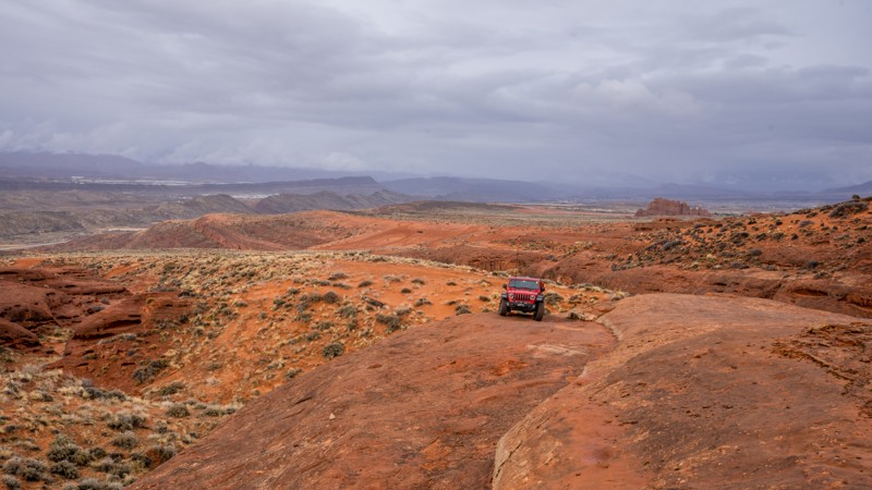
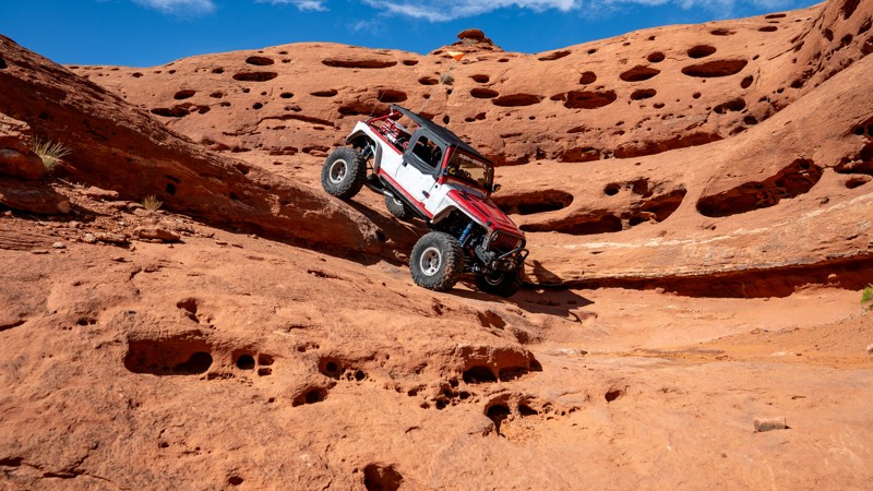
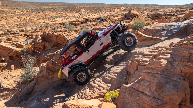
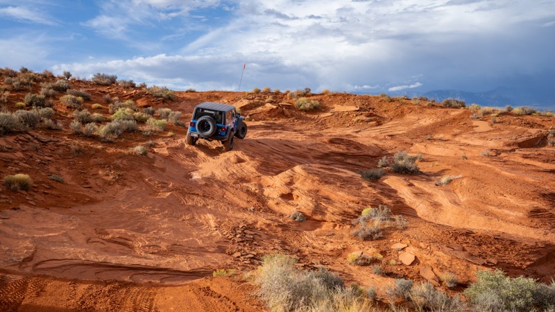
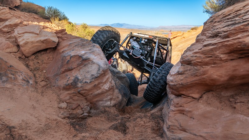
The second loop starts with small obstacles and various lines at "The Ledge," where you drop a short cliff into a narrow-cut wash. The canyon then comes to a pinch-point obstacle with no bypasses known as "The Slot." This obstacle will beat on rock sliders and requires careful tire placement to negotiate. The trail then turns south, and heads through Diff Buster Canyon, a time-sucking natural drainage with endless boulders of every shape and size and several 2-3 foot ledge climbs. You are then rewarded with amazing views of the Arizona border as you gaze out across Warner Valley. Drivers will then need to traverse two simultaneous 4-foot drops, the second of which is on the cliff edge, with little room for error. These drops are where the trail earns its highest rating. You then finish the loop with ease and return to where you started.
This trail best suits modified vehicles with lifts, larger tires, skid plates, rocker protection, and locking differentials. 35s should be considered a minimum tire size, with 37s being helpful with long wheel-base vehicles.
About Sand Mountain
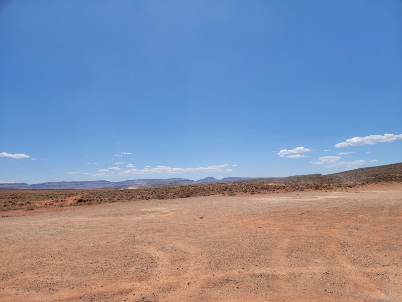
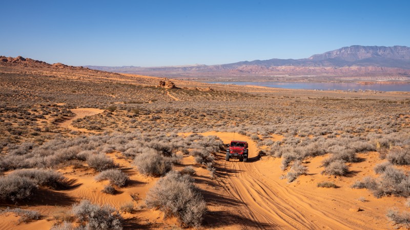
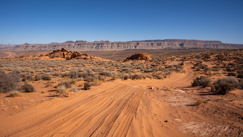
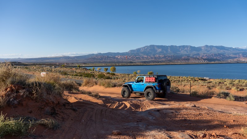
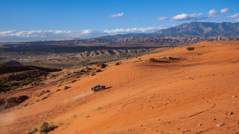
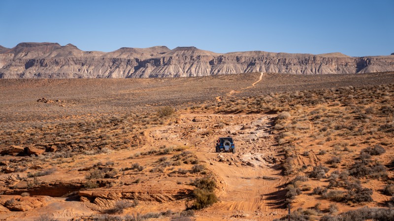
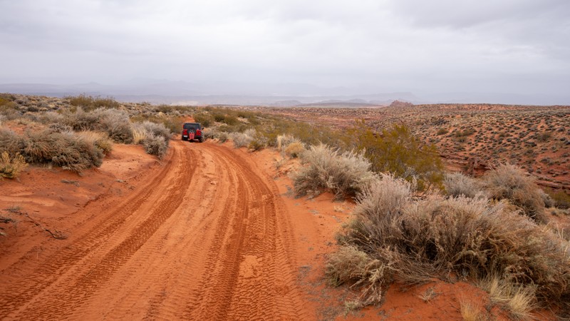
Sand Mountain is an extremely unique parcel of public land. Designated as an Open OHV Area, riders are free to make their own trails. Due to this, many of the long-established named trail routes have several variations that can take easier or more challenging routes through the intended trail. The GPX track for this trail helps you navigate the area, but various lines, bypasses, and additional obstacles may exist along the way. Riders are encouraged to stay on existing trails and not unnecessarily drive over or destroy vegetation.
Fees
Riding on Sand Mountain is entirely free. However, there are multiple entry/exit points for the area, including "the tunnel," which connects Sand Hollow State Park to the open OHV area. Any entry into the boundaries of Sand Hollow State Park requires a Utah State Park Pass.
Requirements
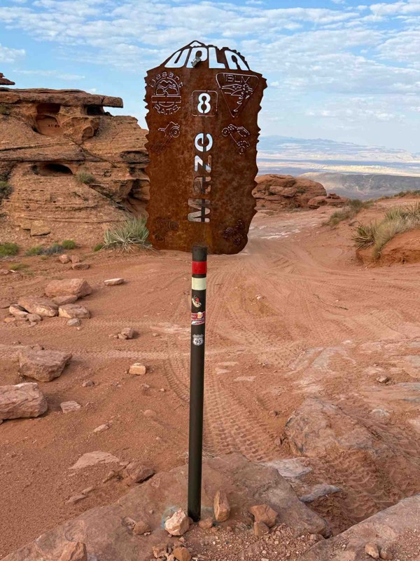
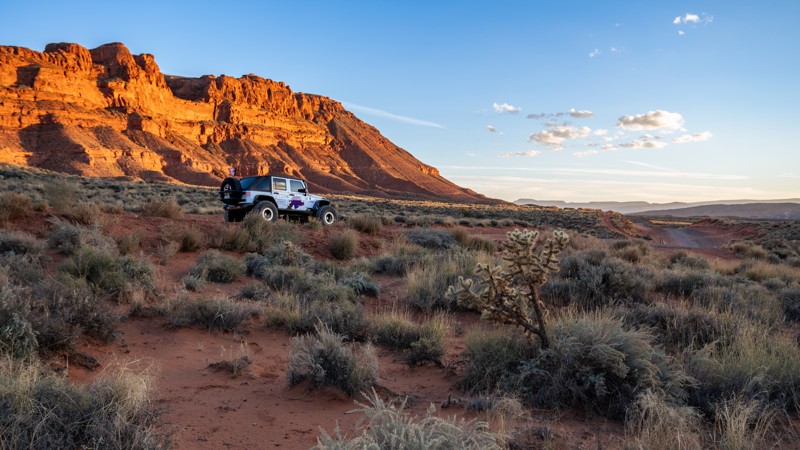
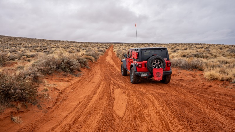
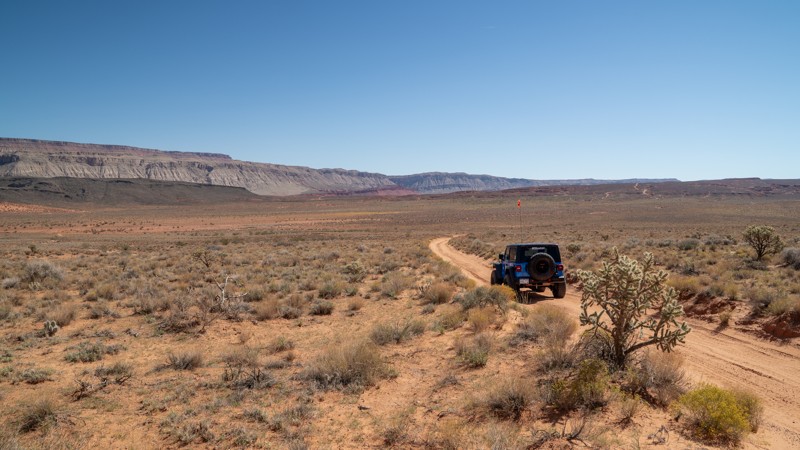
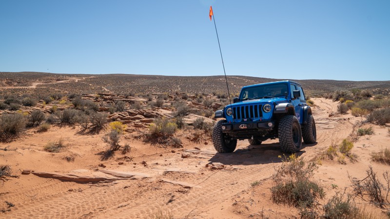
When operating on Sand Mountain, users must attach an orange or red safety flag to the vehicle, rising at least 8 feet off the ground.