By clicking "ACCEPT", you agree to be the terms and conditions of each policy linked to above. You also agree to the storing of cookies on your device to facilitate the operation and functionality of our site, enhance and customize your user experience, and to analyze how our site is used.
Offroad Trails in Moab
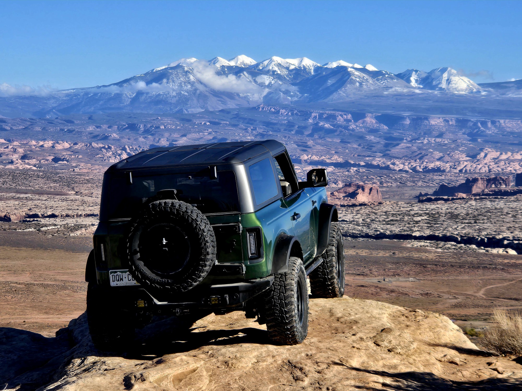
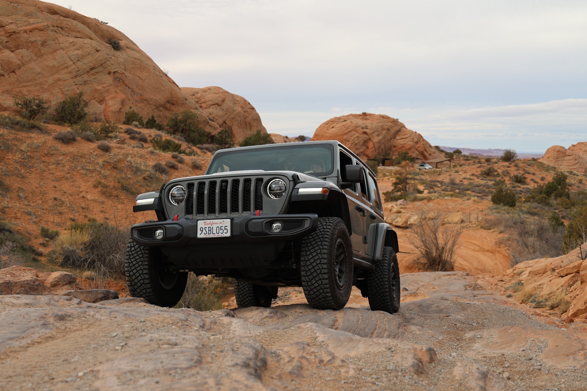
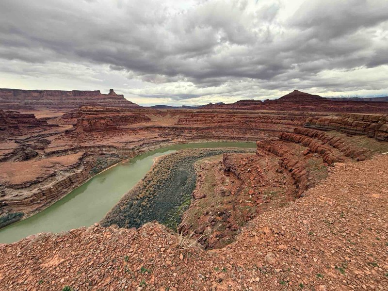
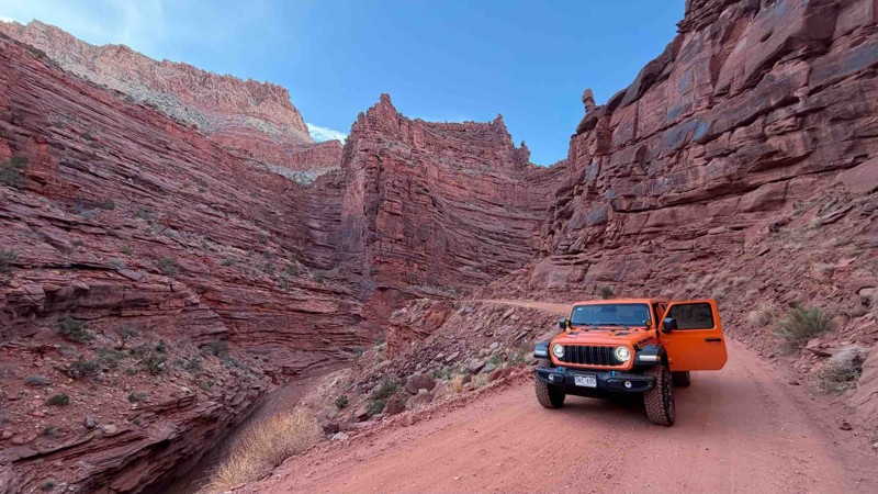
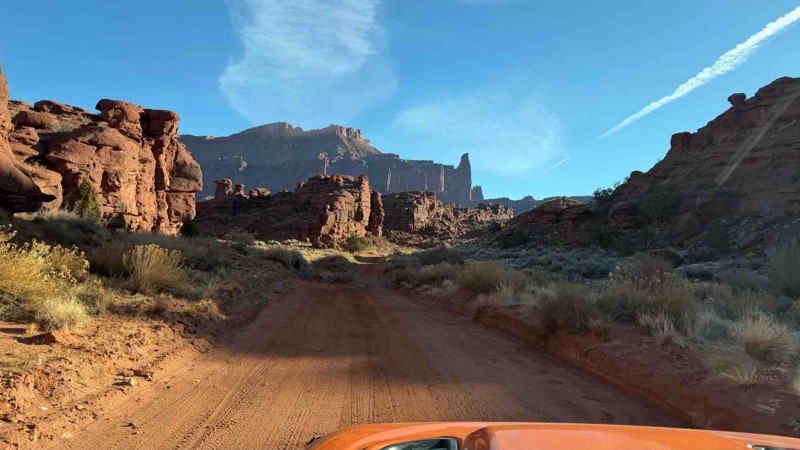
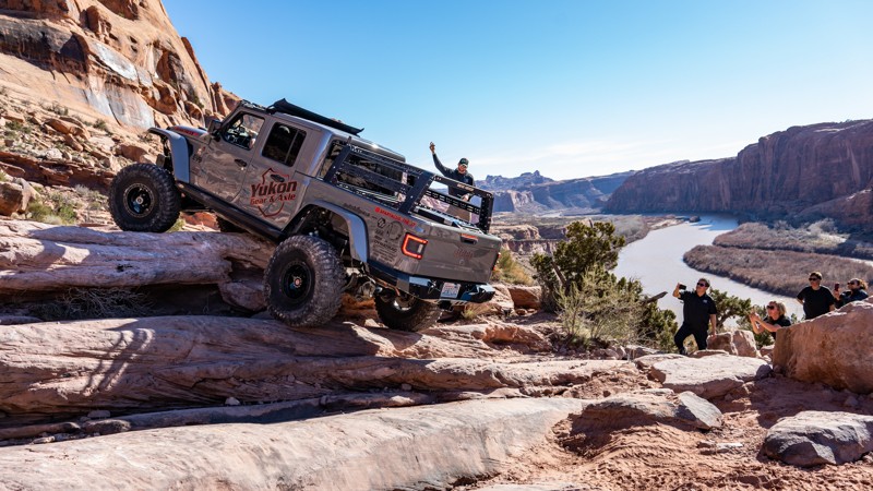
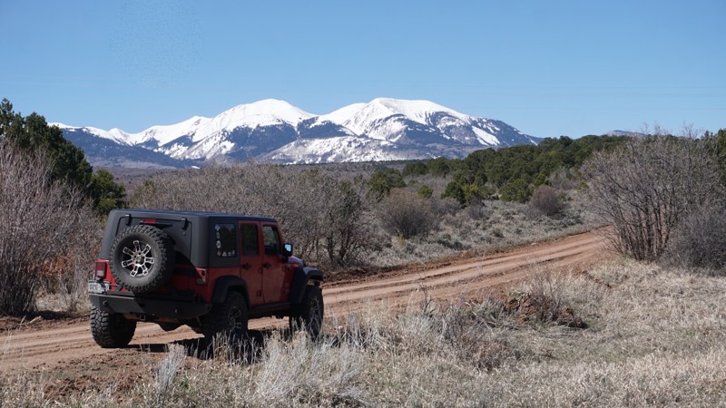
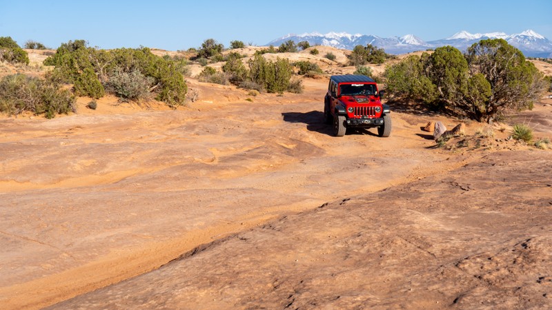
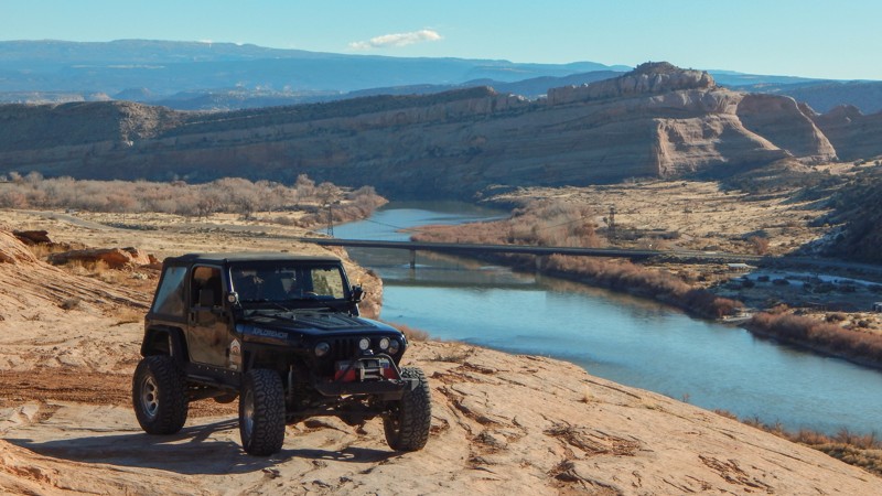
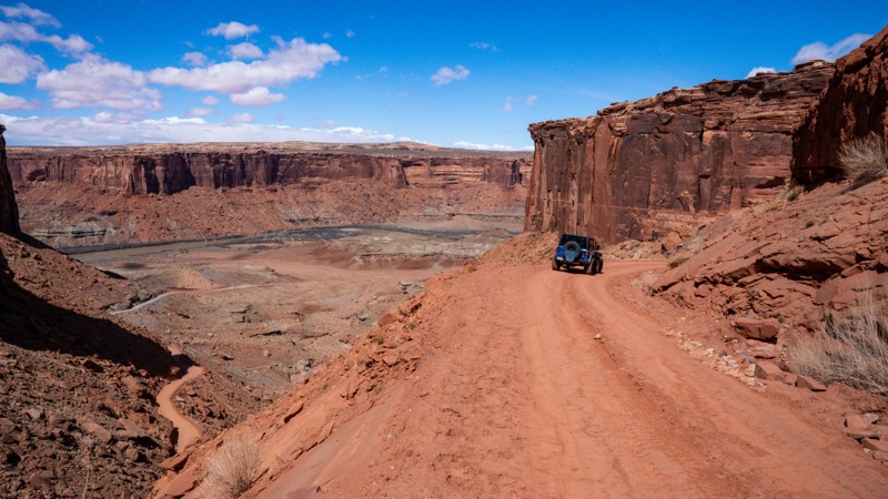
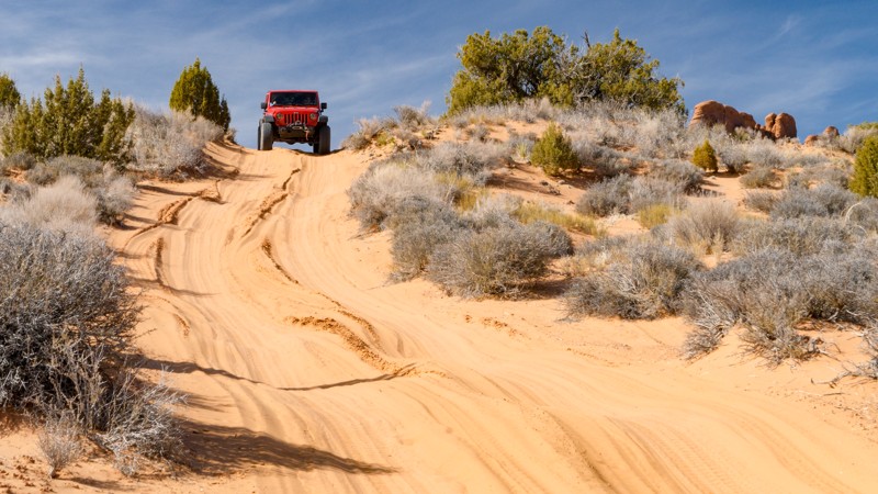
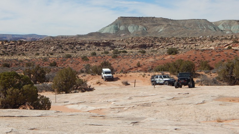
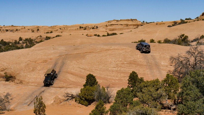
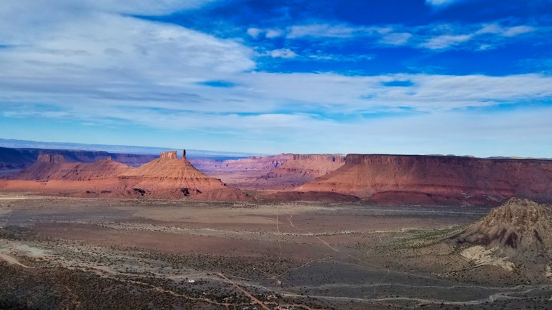
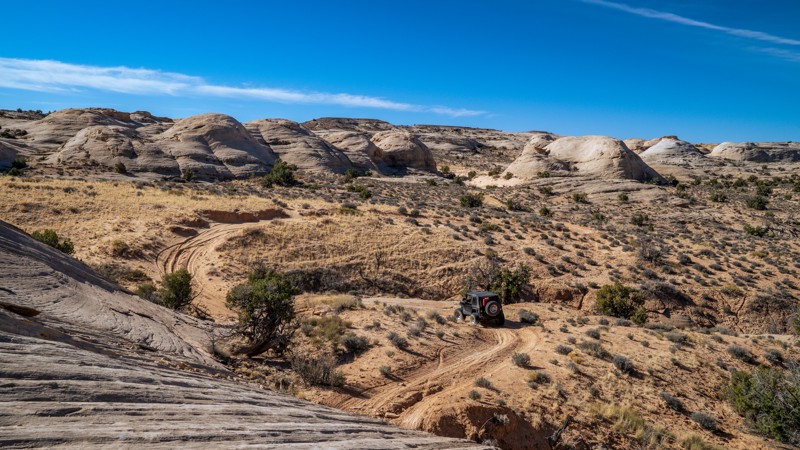
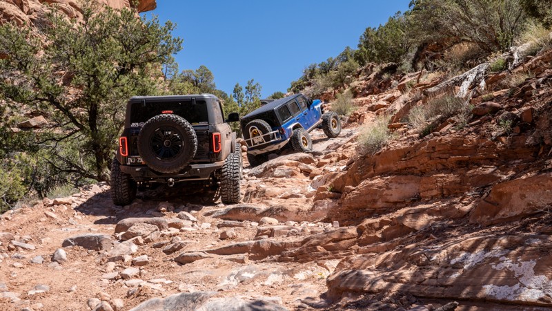
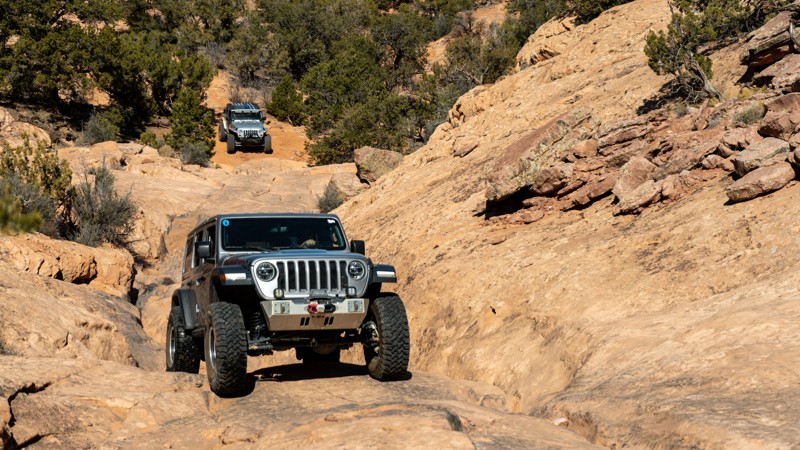
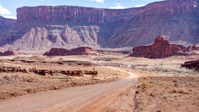
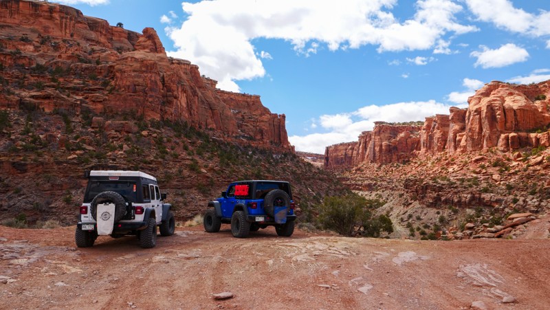
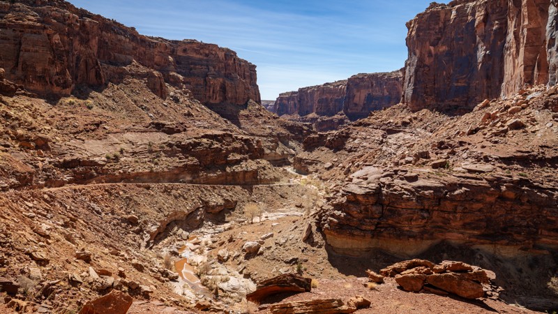
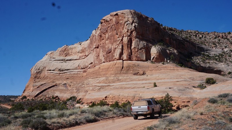
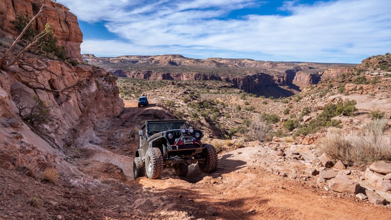
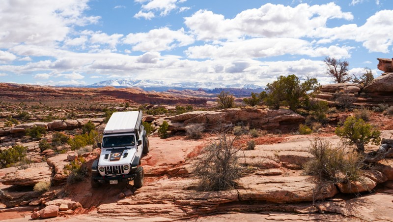
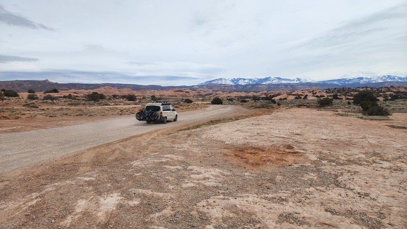
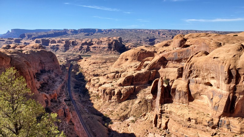
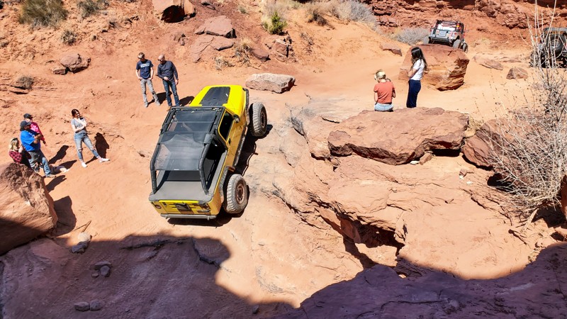
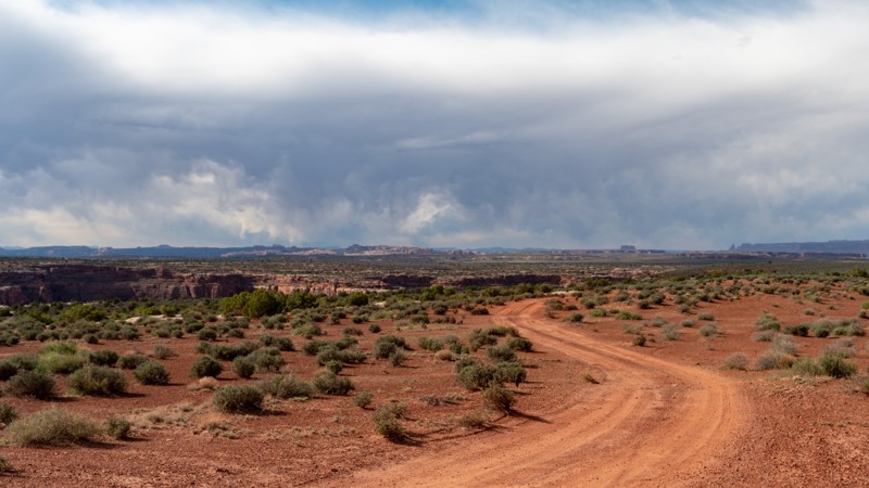
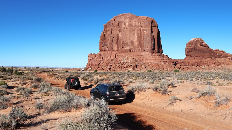
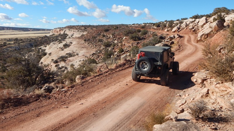
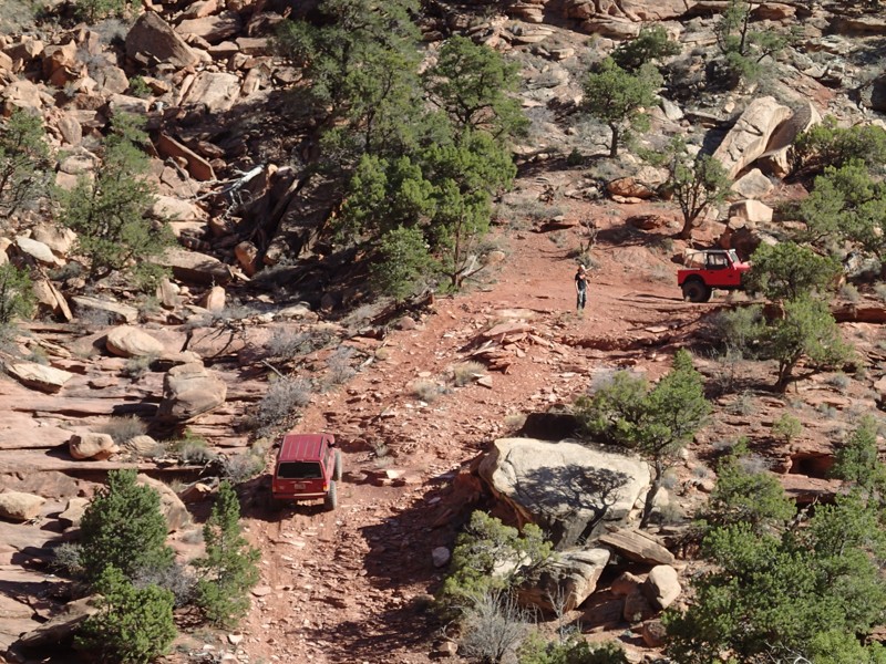
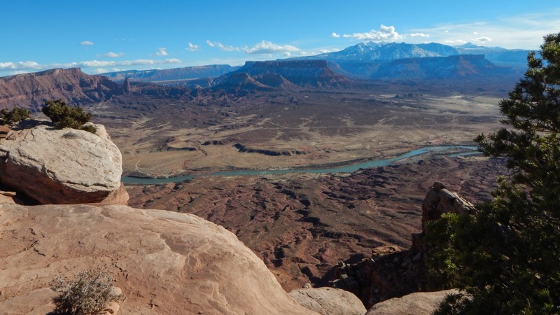
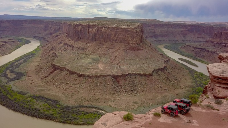
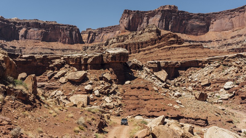
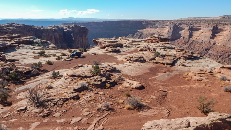
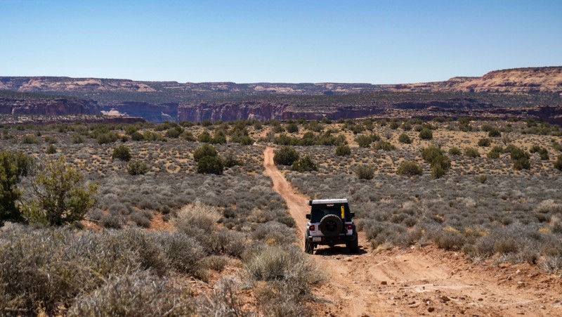
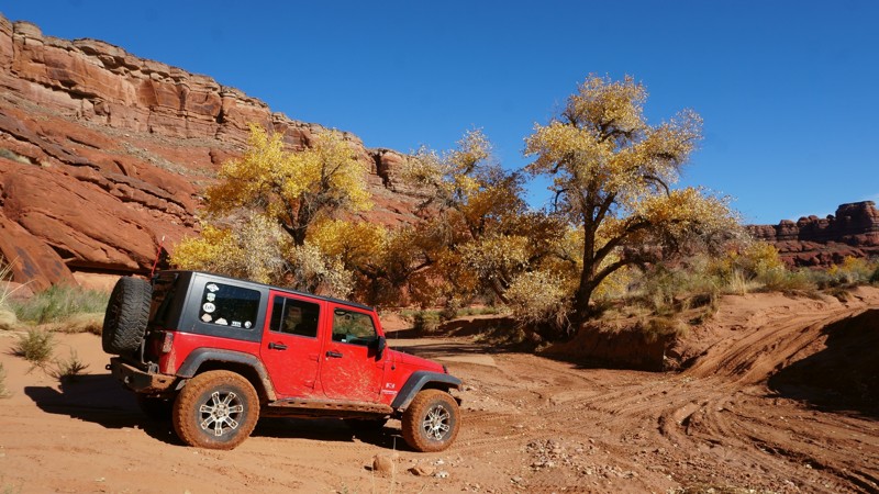
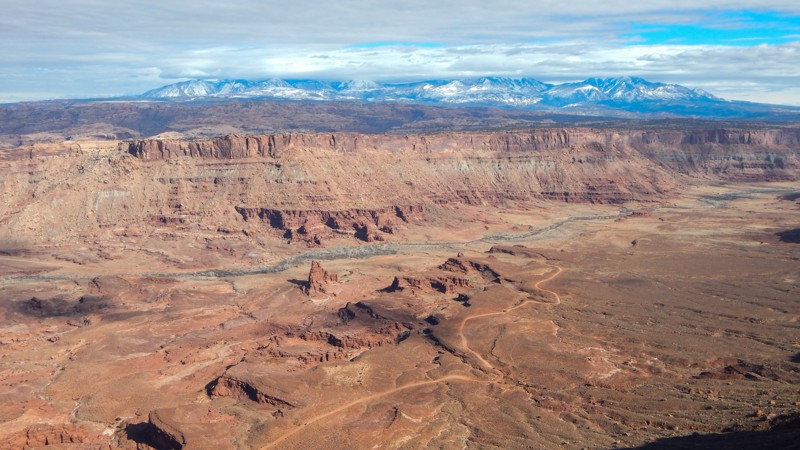
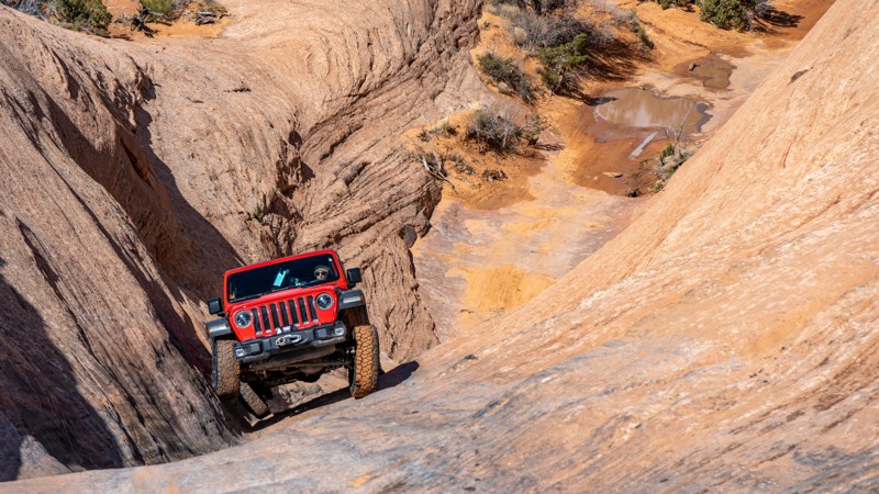
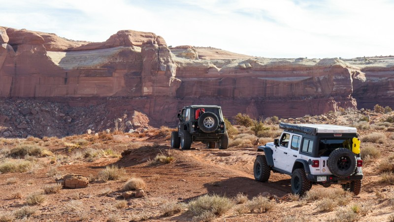
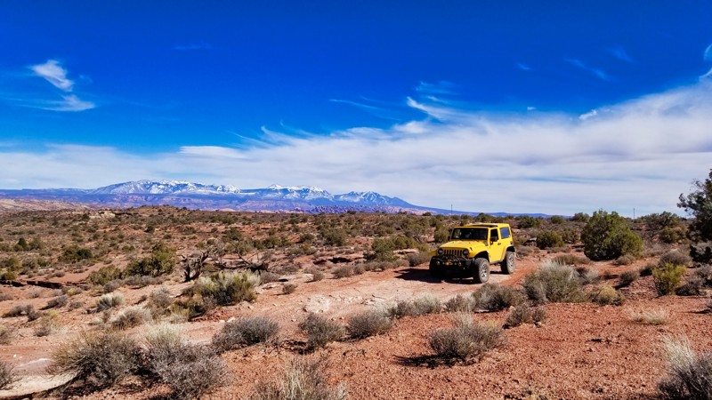
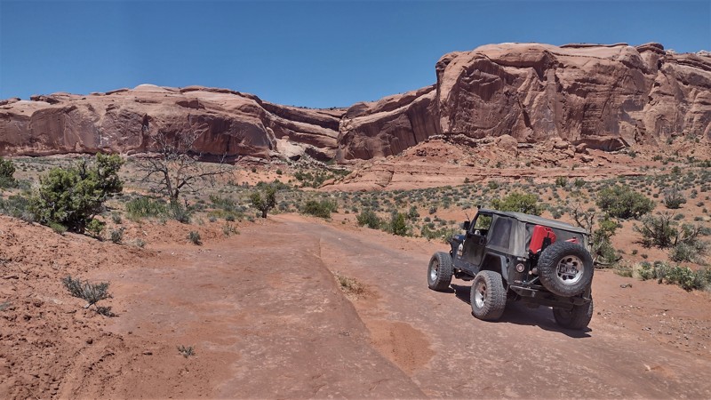
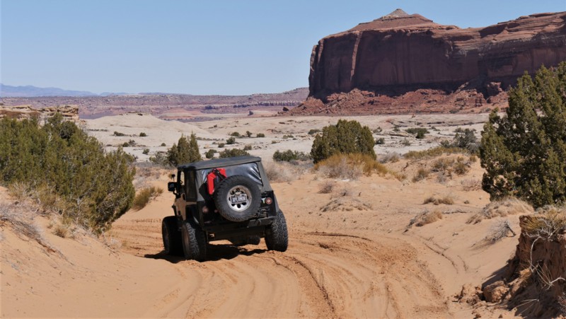
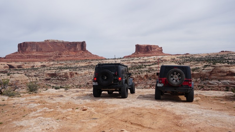
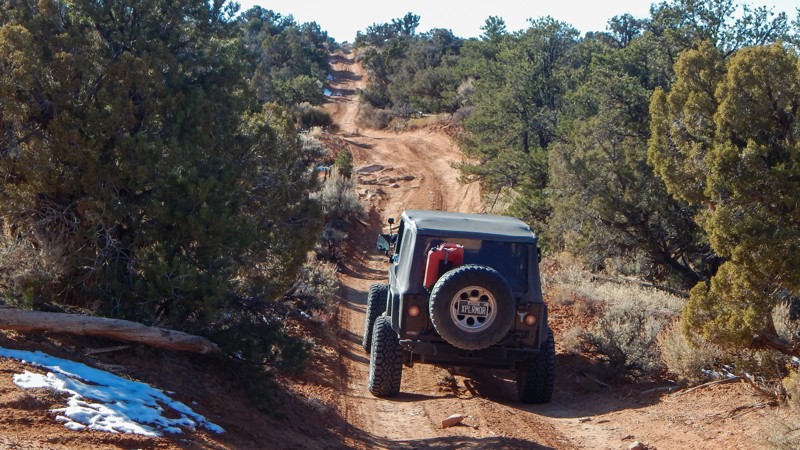
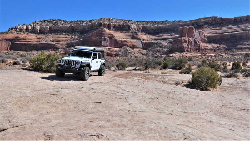
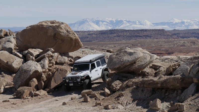
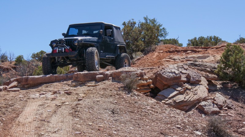
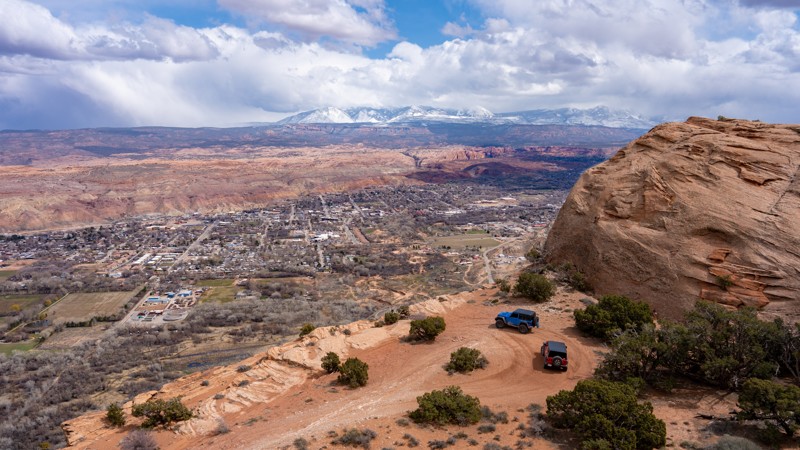
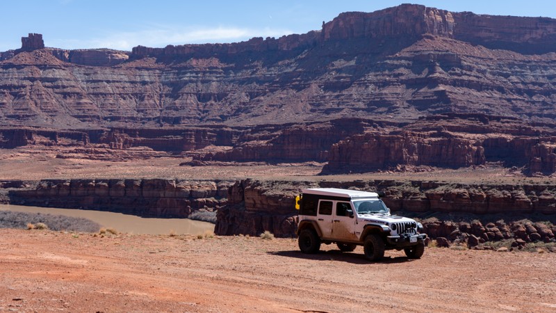
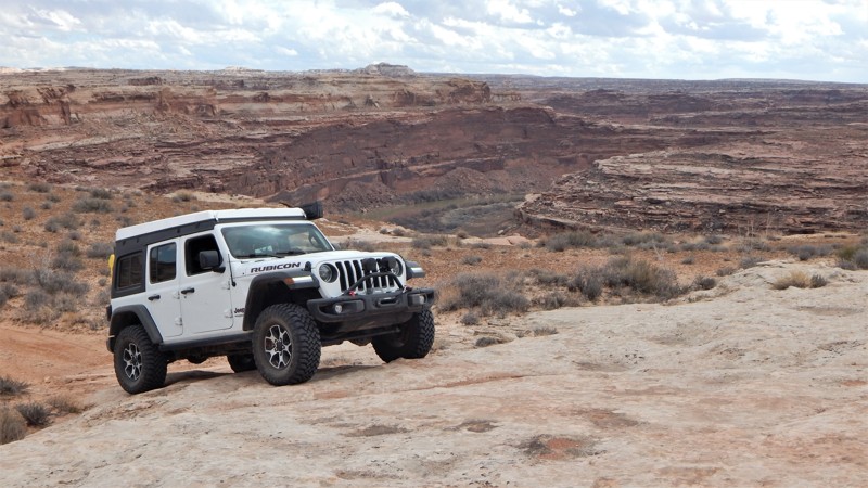
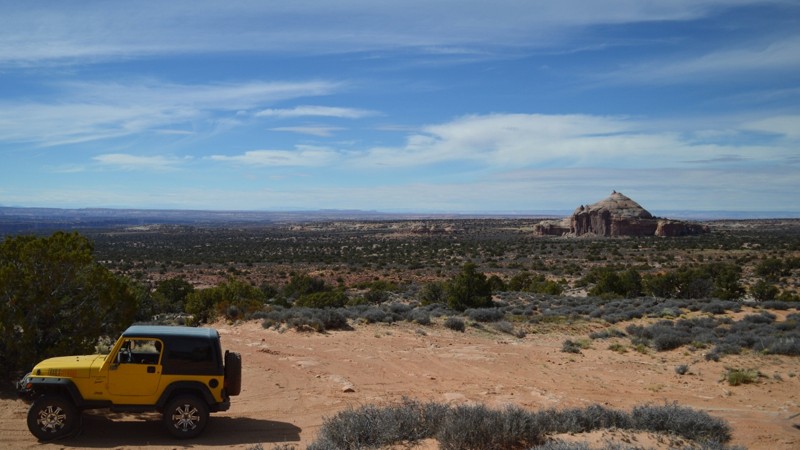
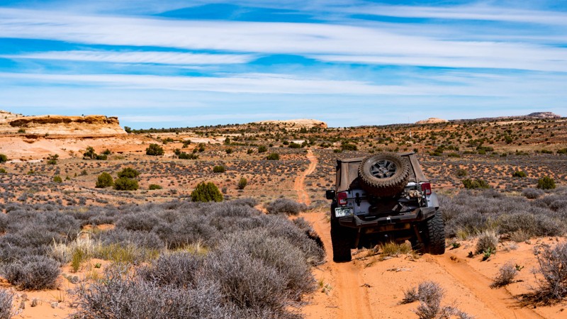
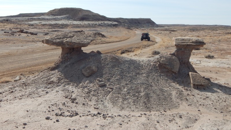
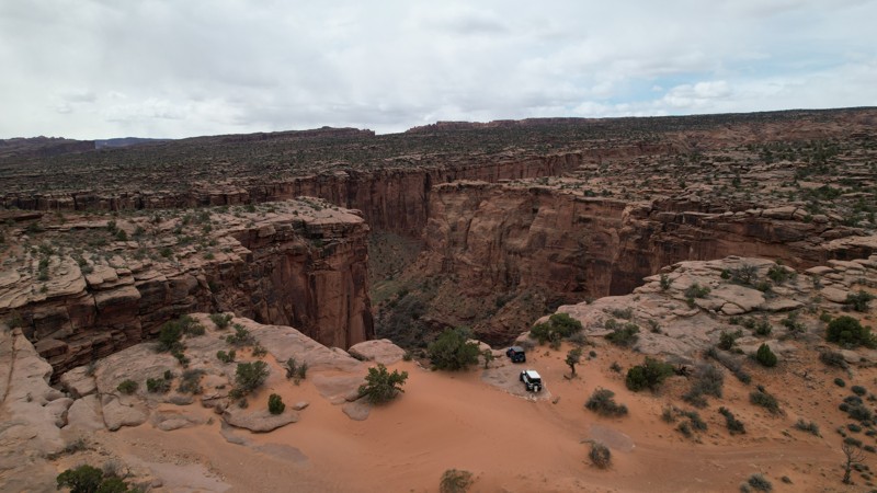
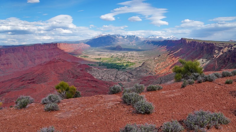
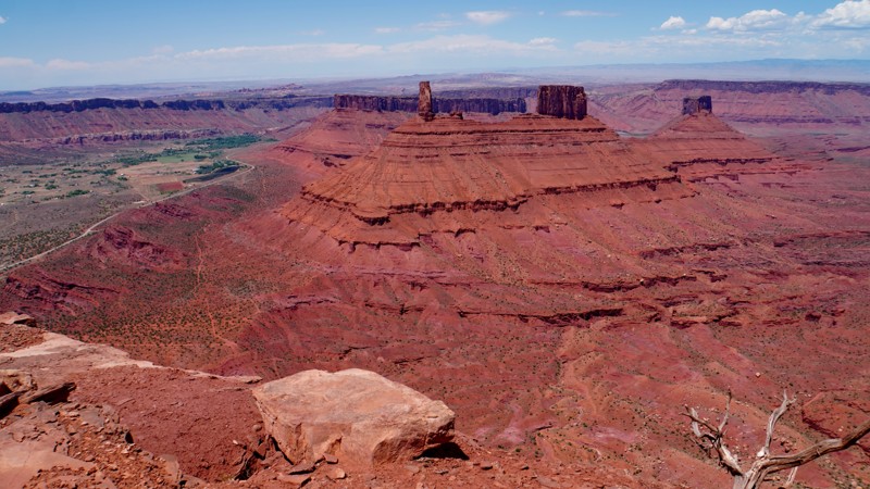
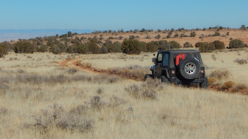
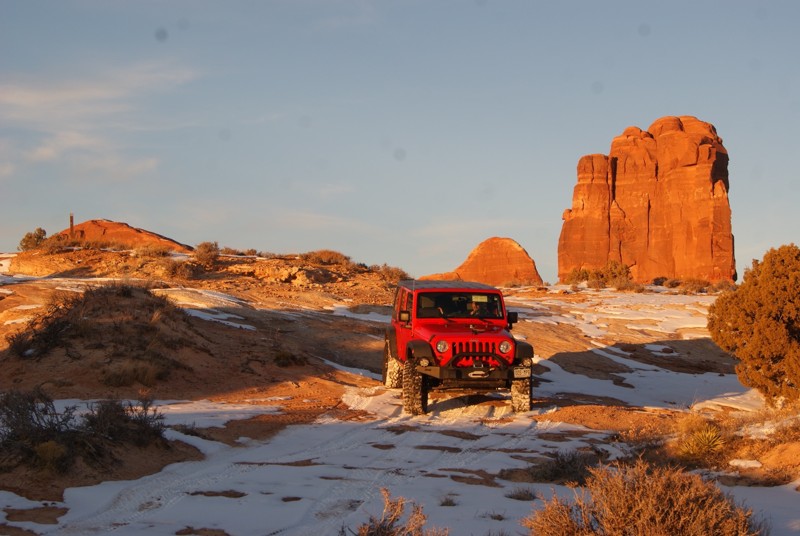
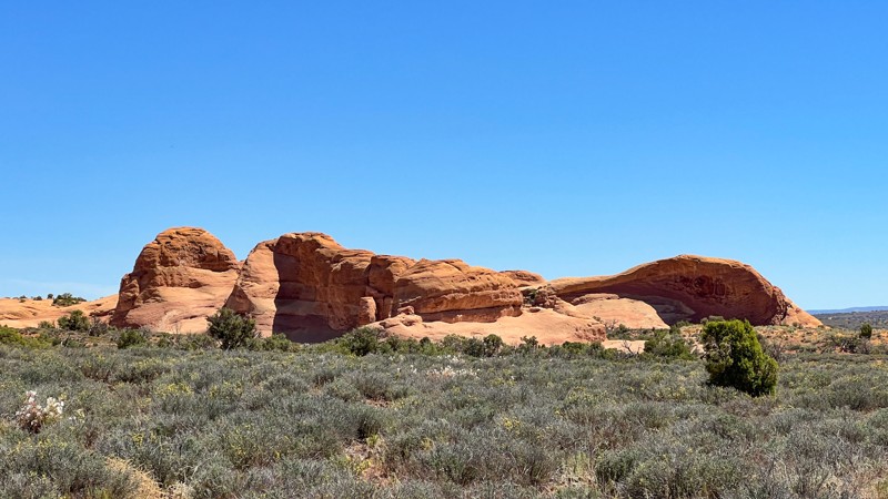
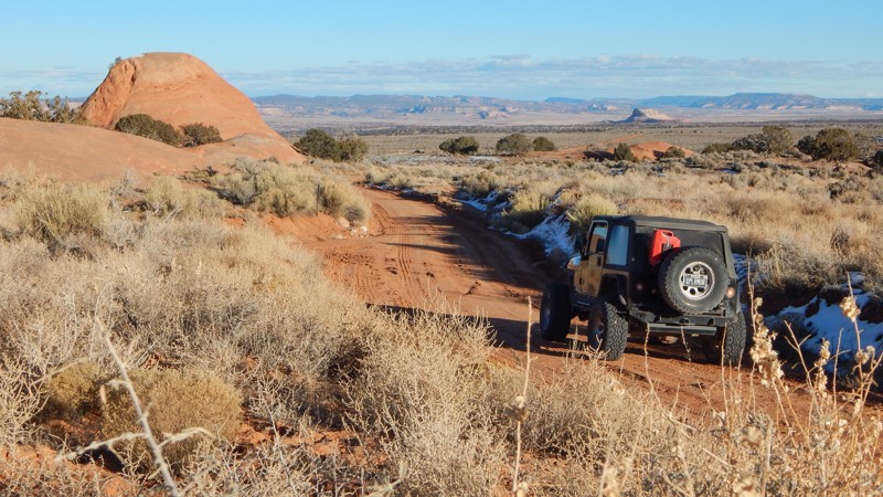
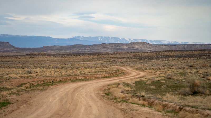
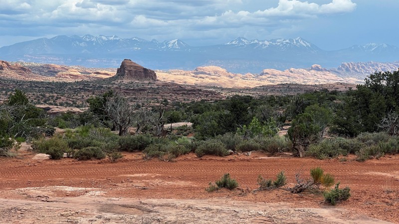
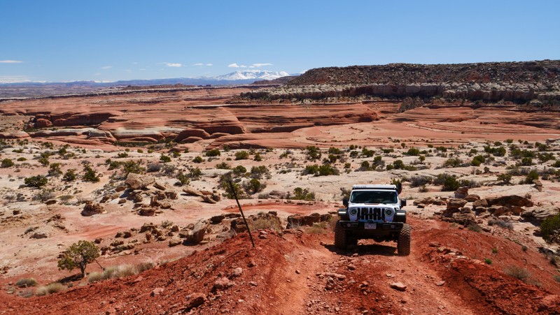
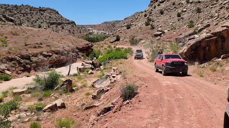
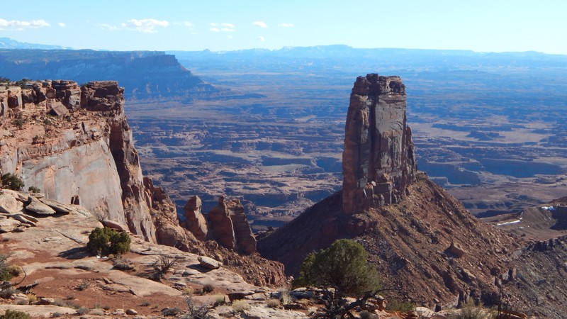
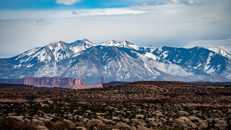
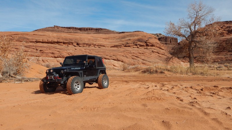
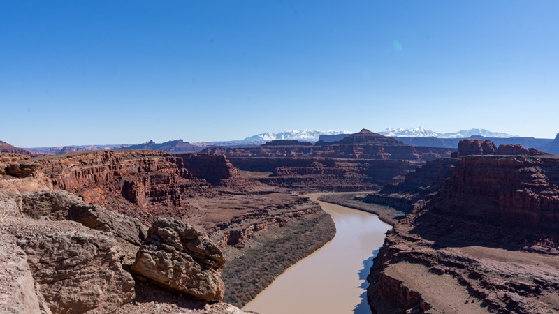
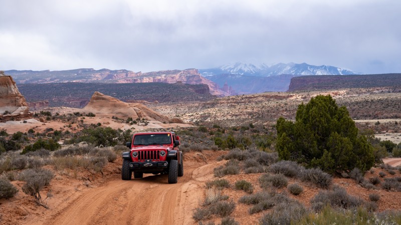
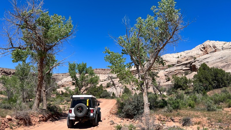
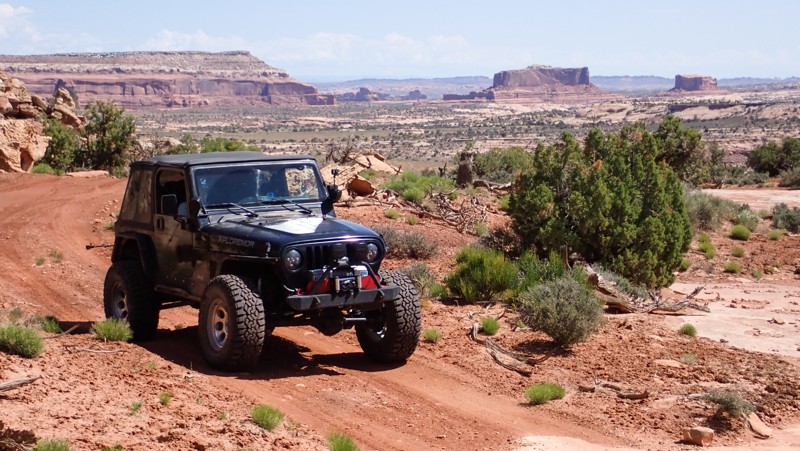
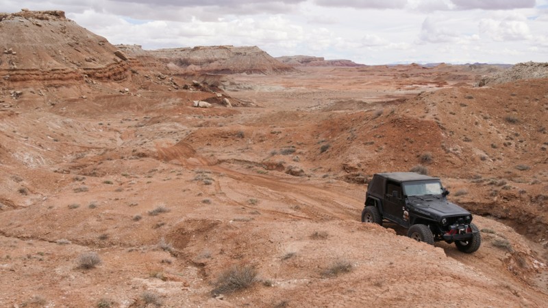
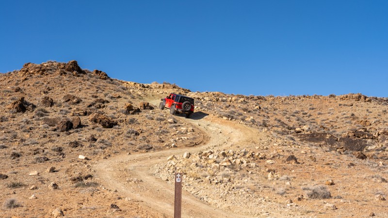
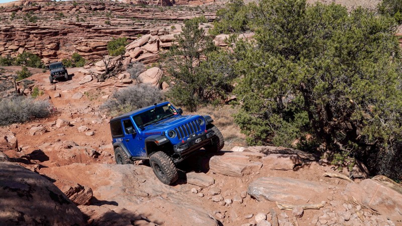
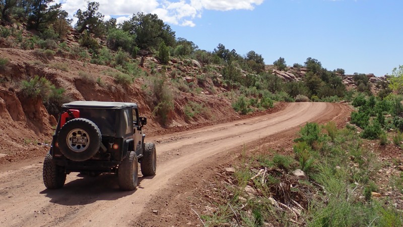
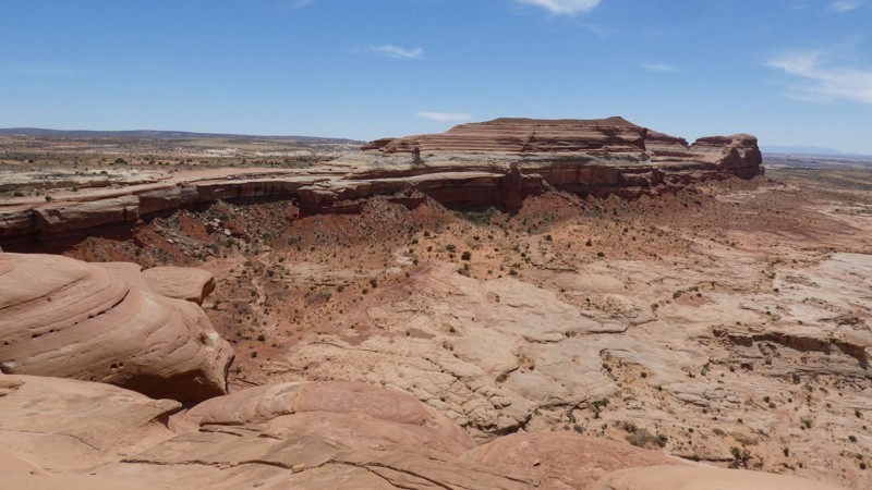
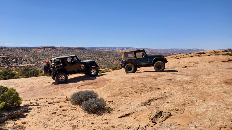
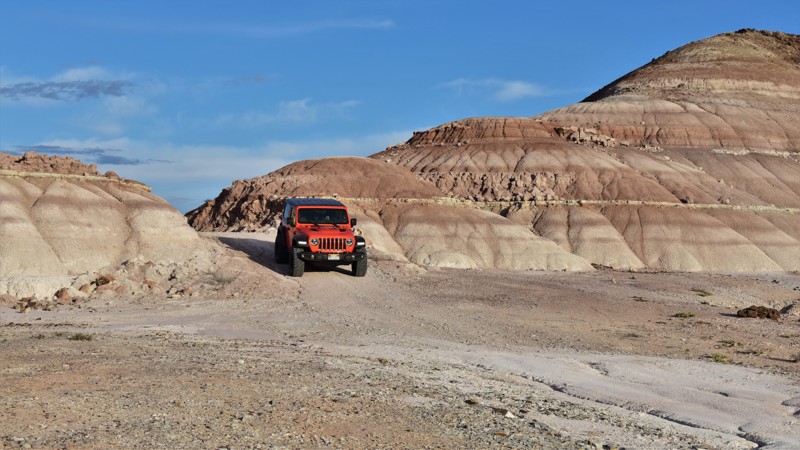
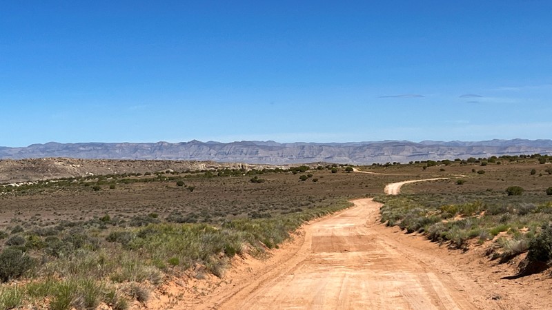
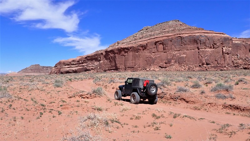
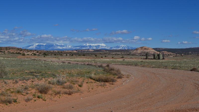
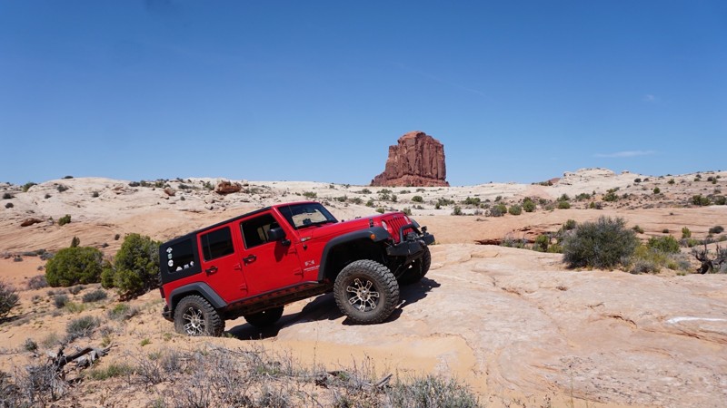
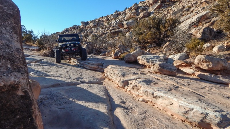
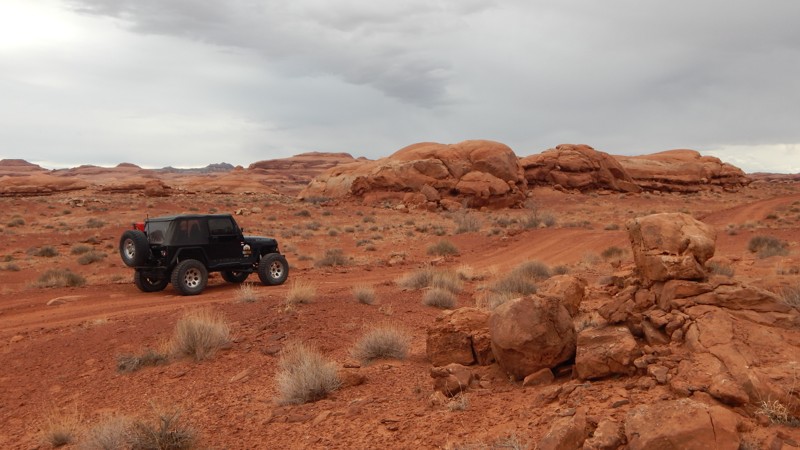
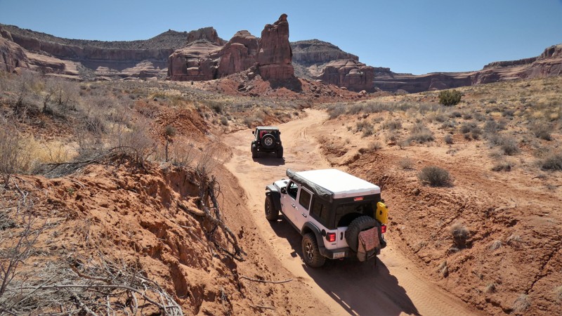
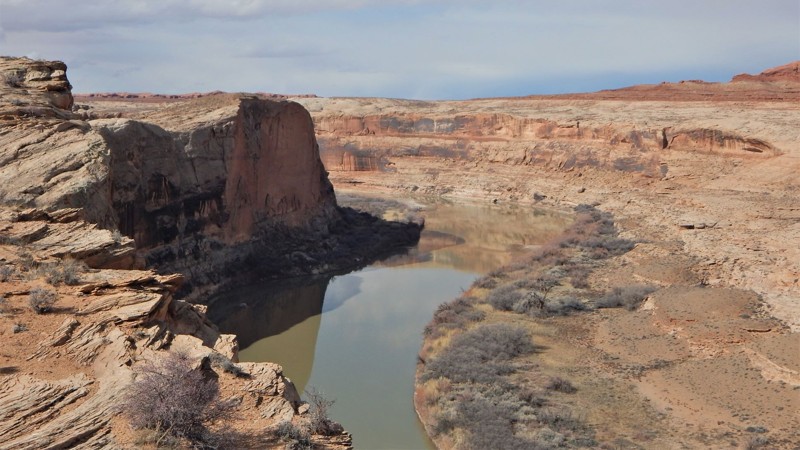
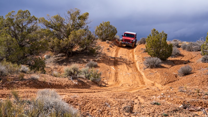
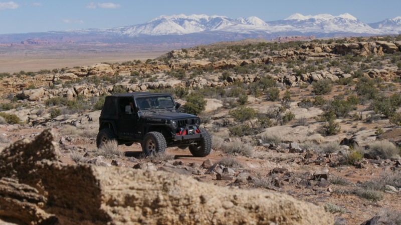
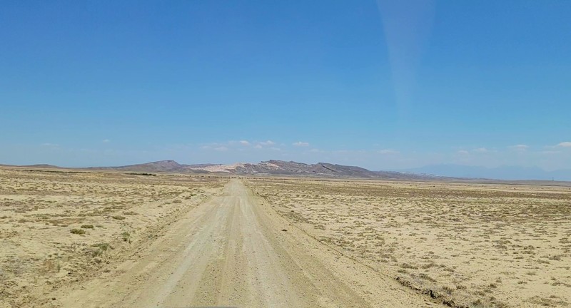
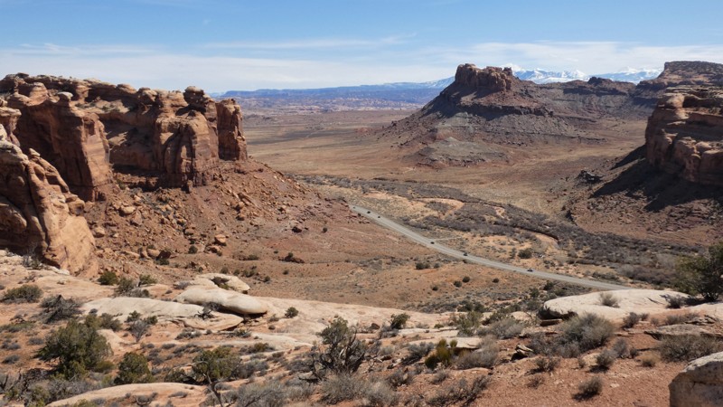
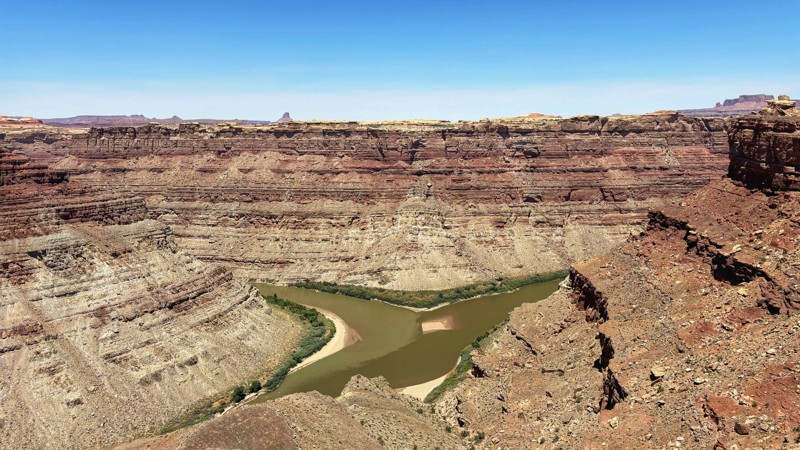
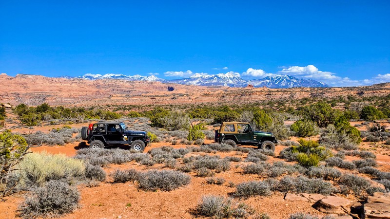
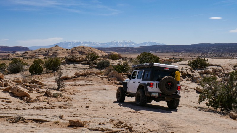
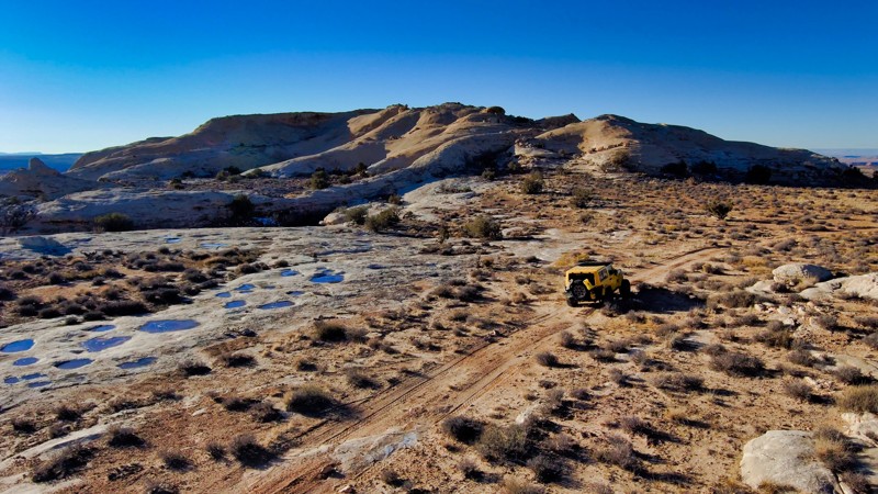
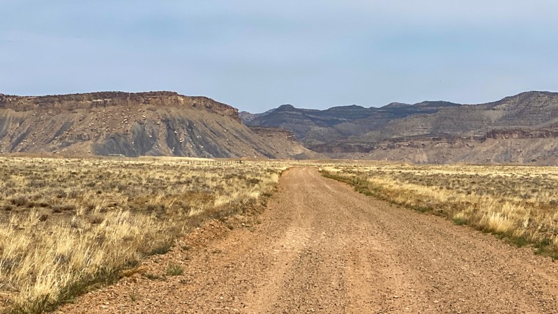
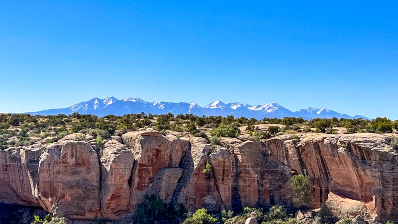
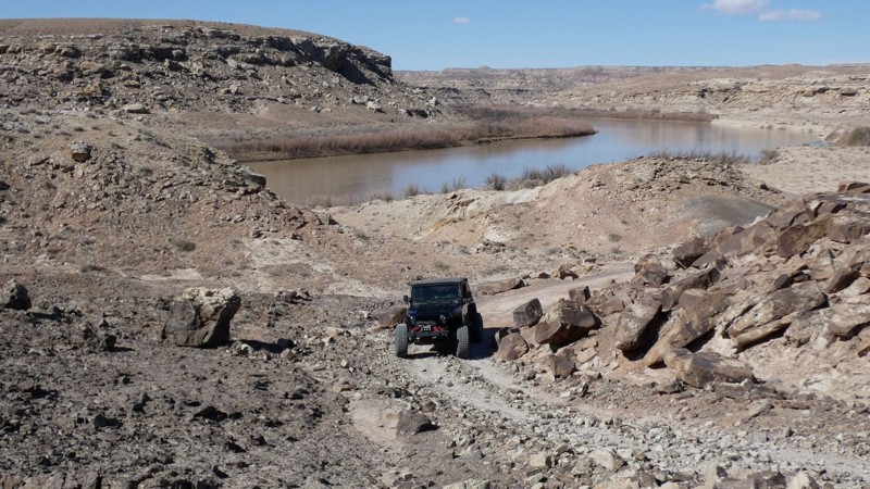
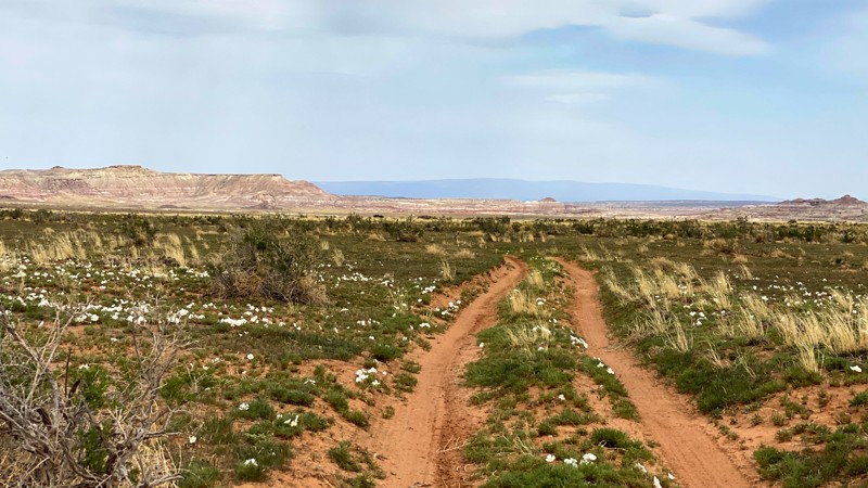
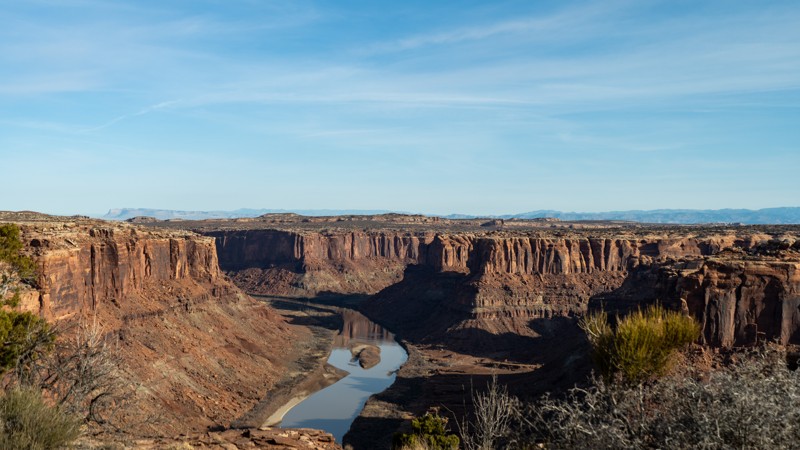
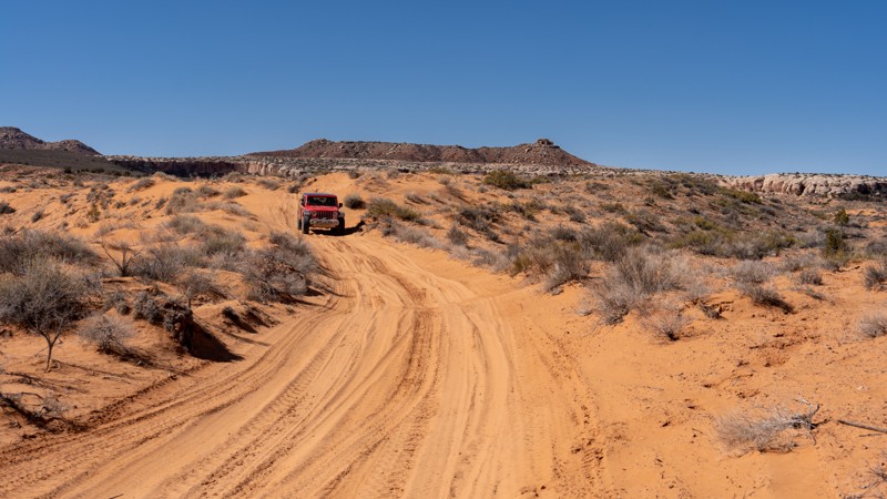
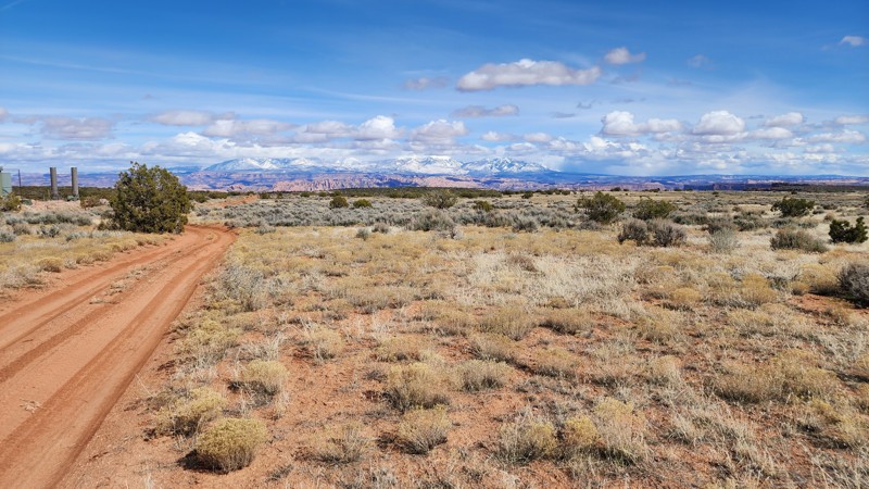
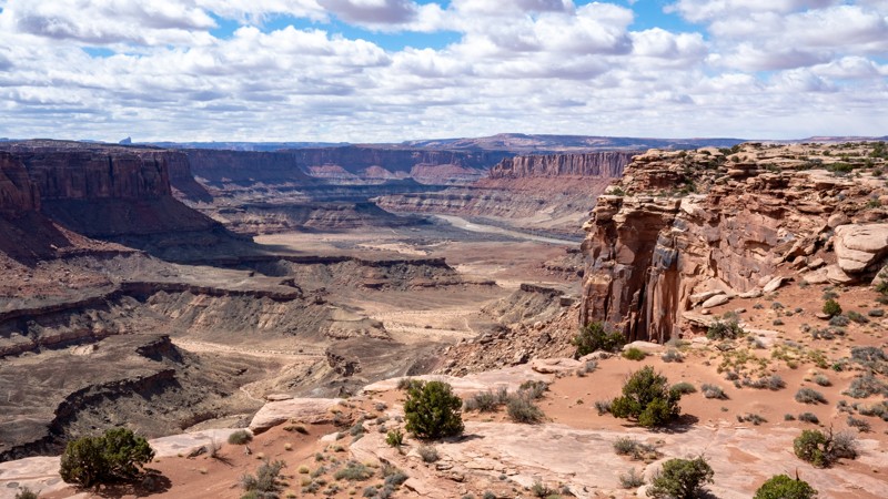
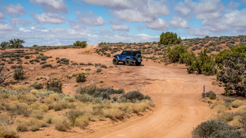
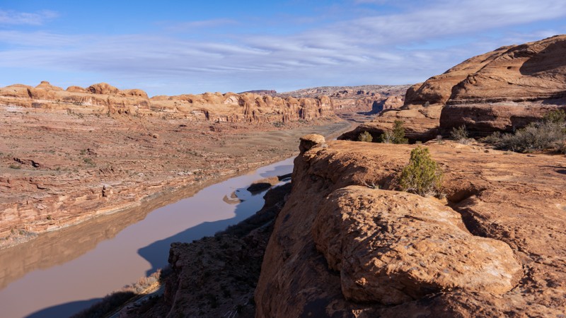
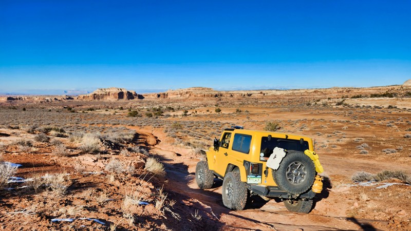
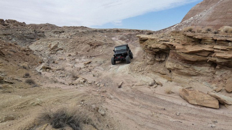
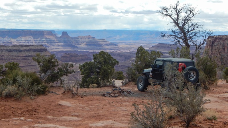
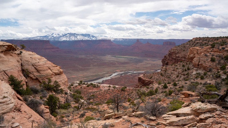
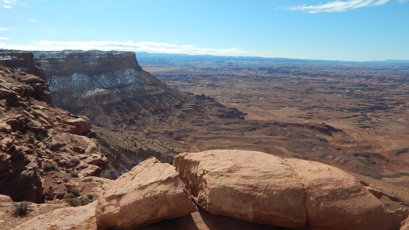
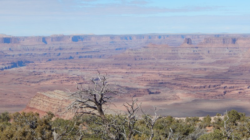
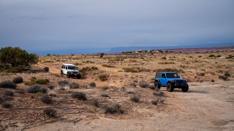
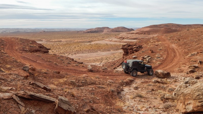
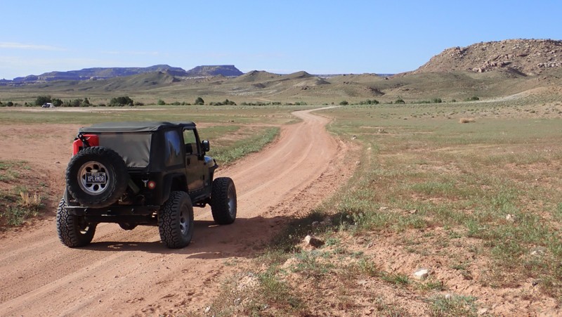
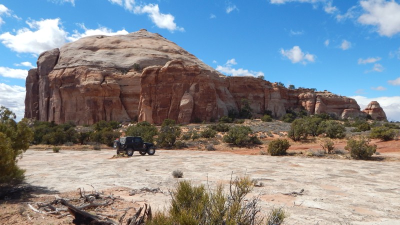
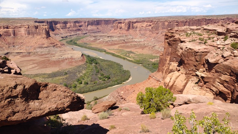
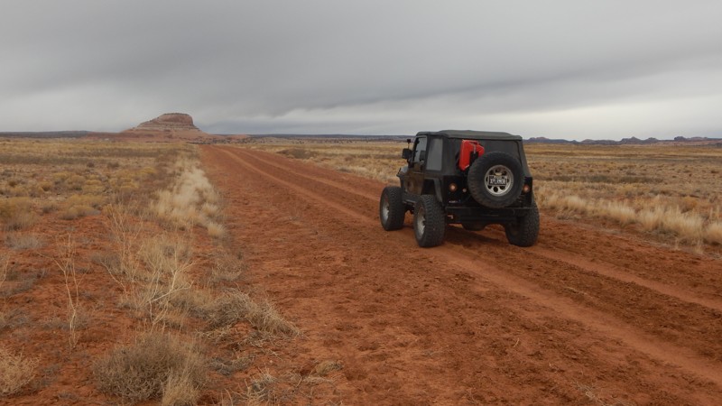
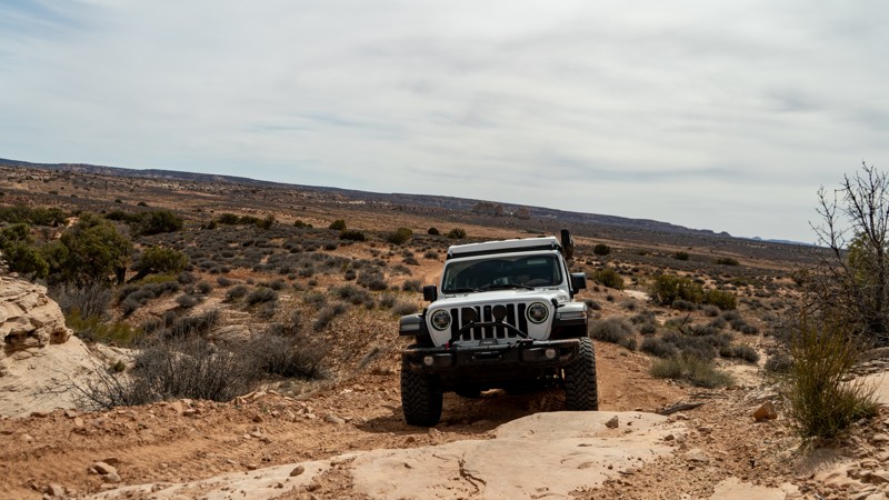
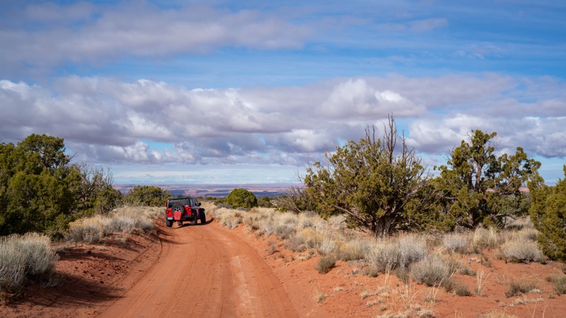
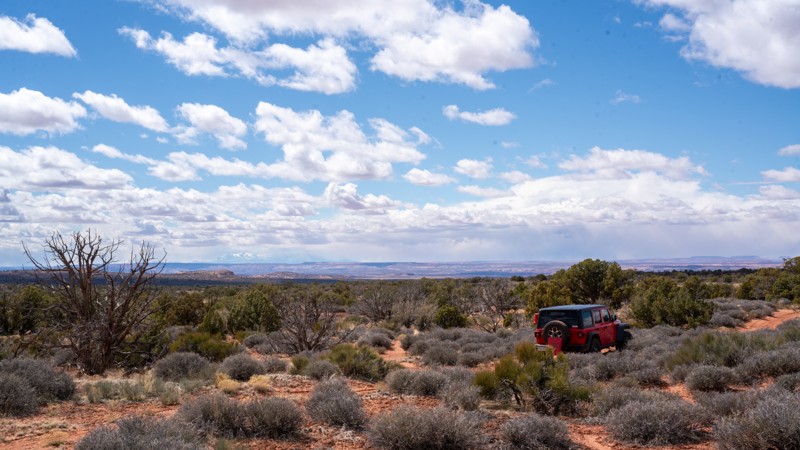
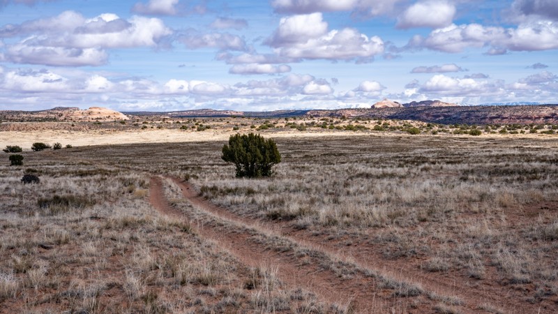
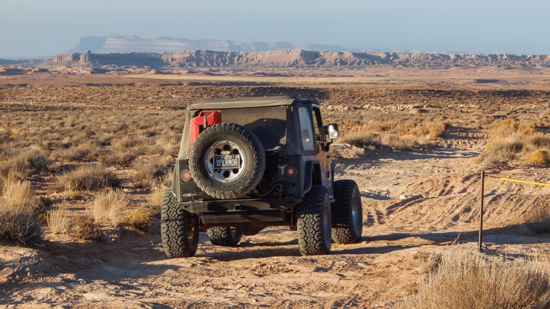
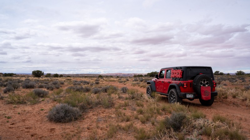
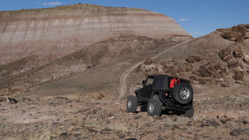
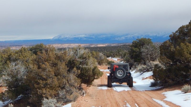
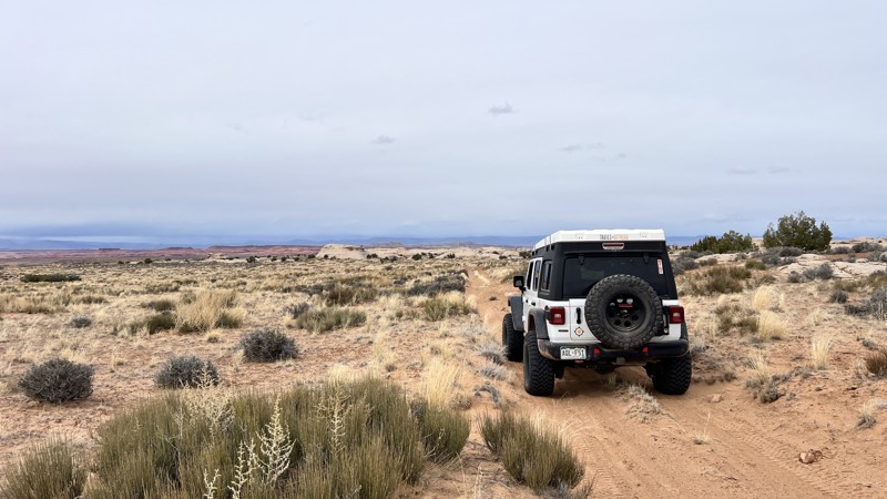
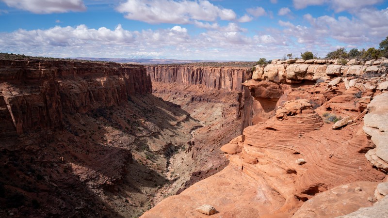
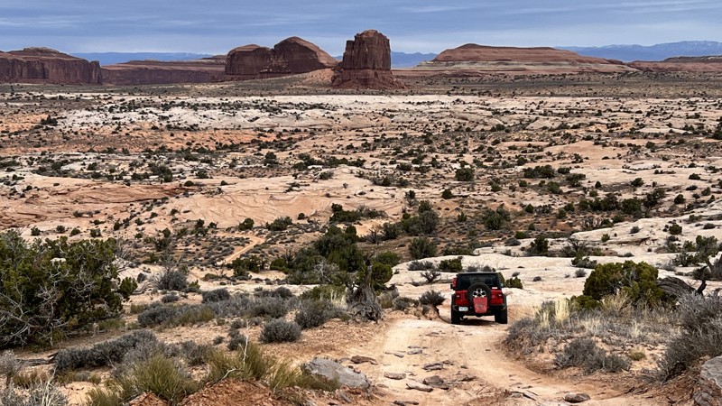
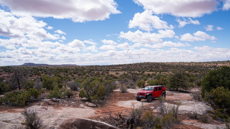
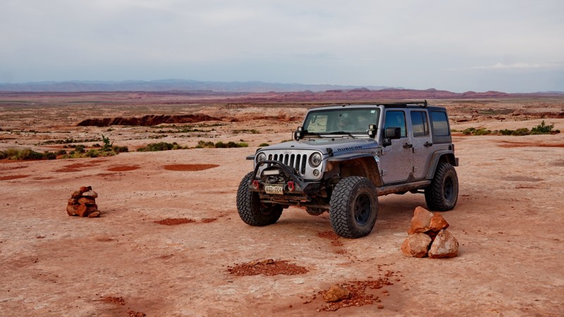
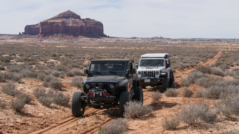
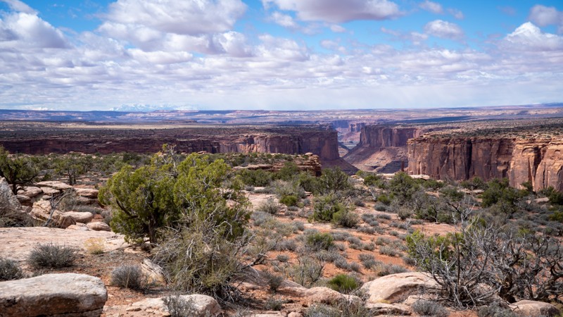
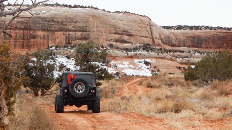
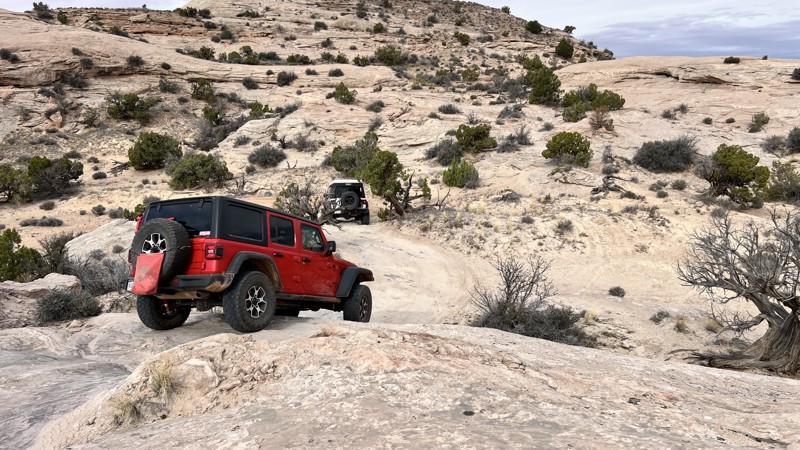
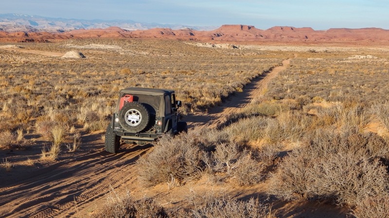
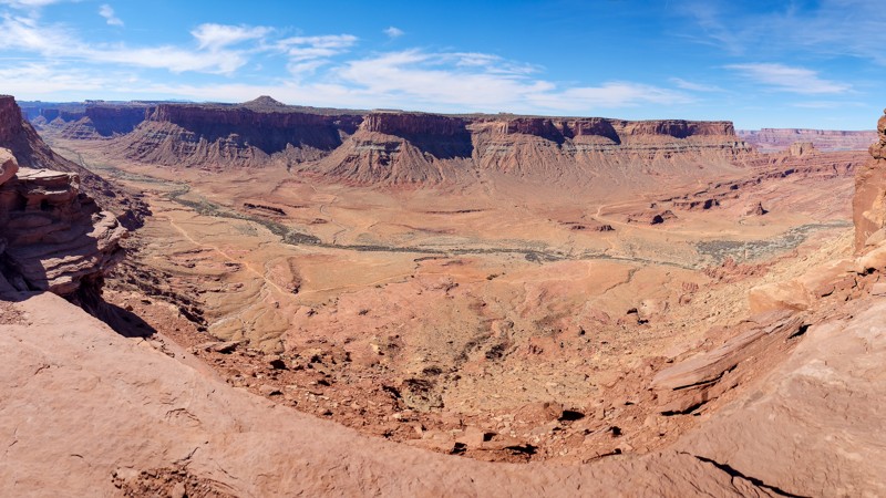
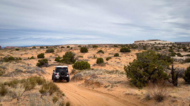
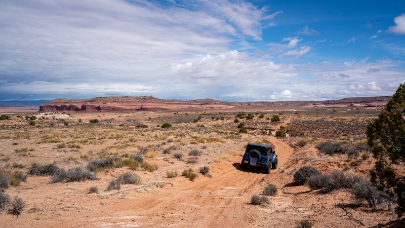
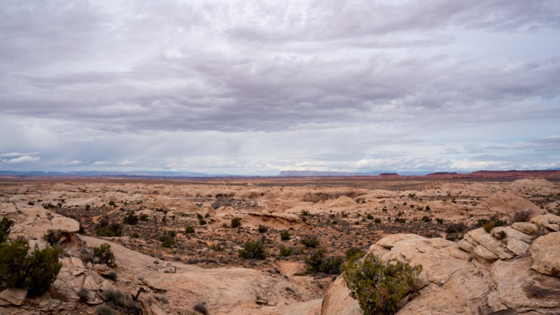
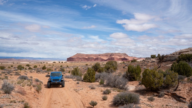
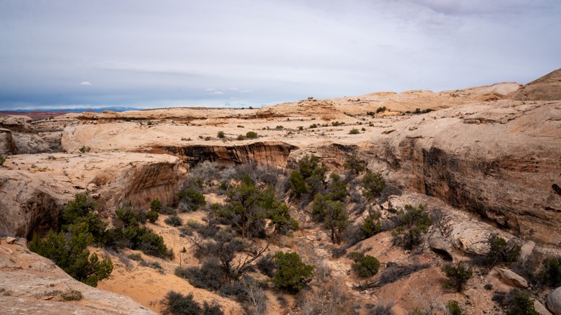
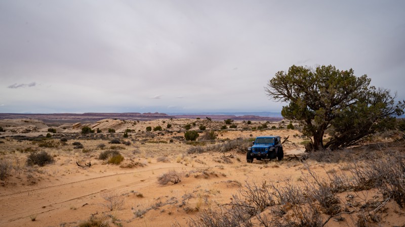
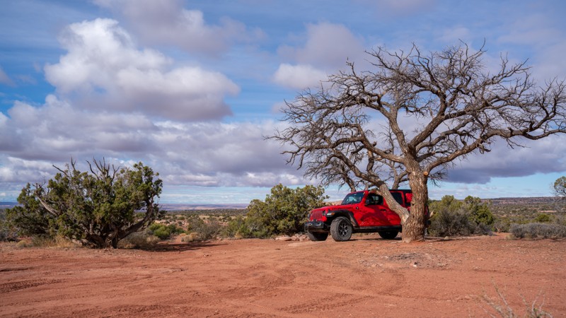
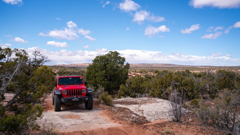
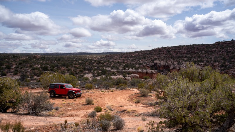
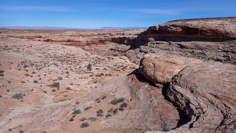
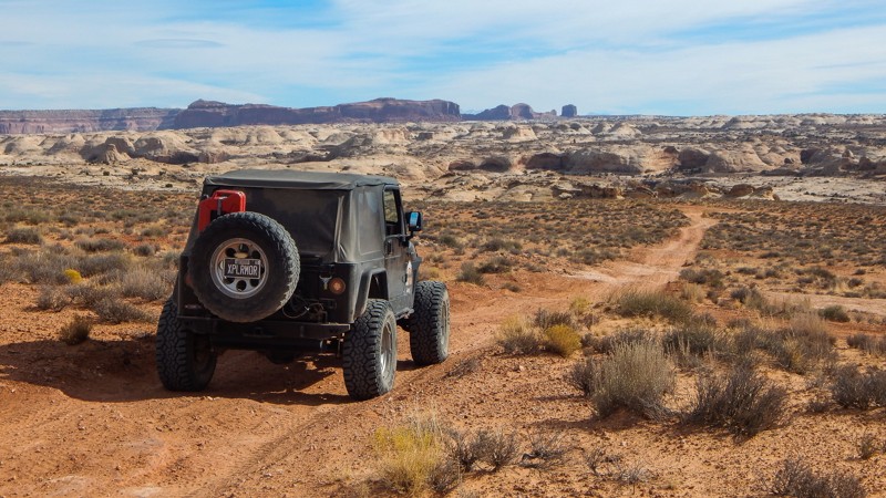
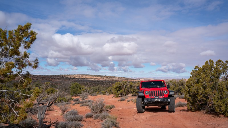
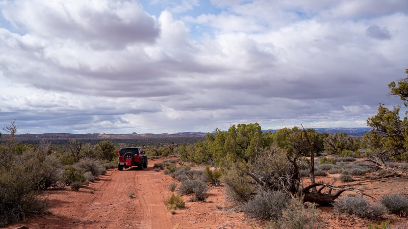
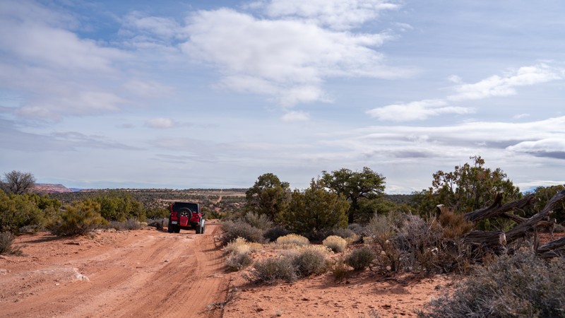
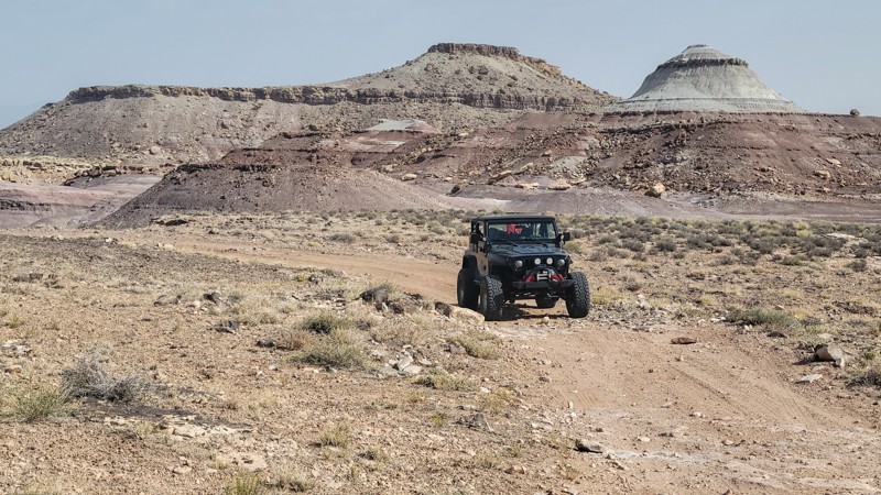
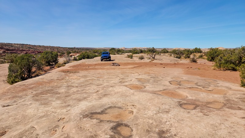
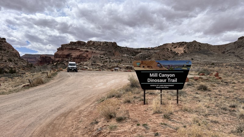
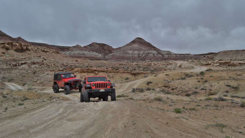
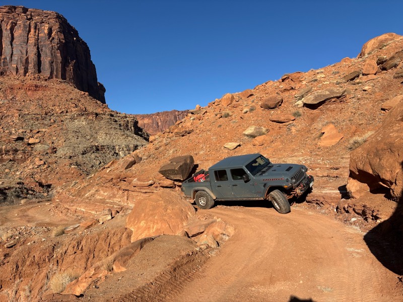
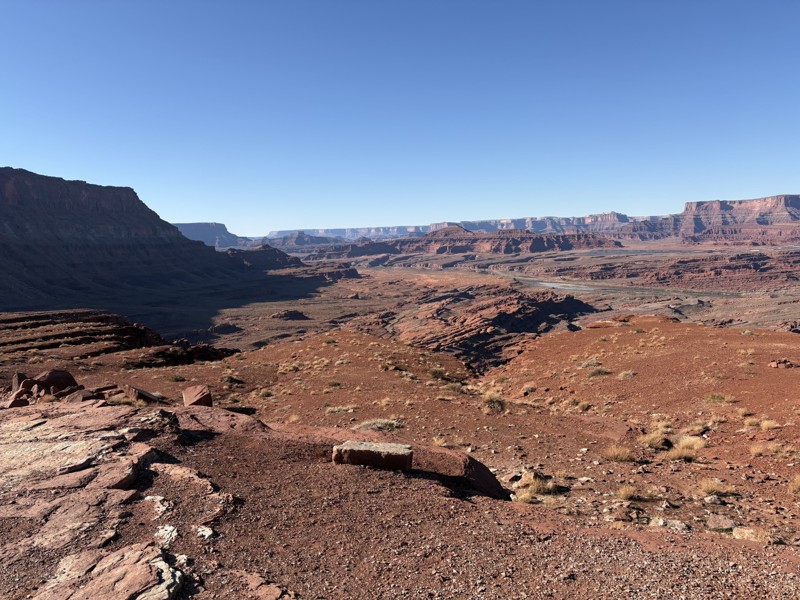
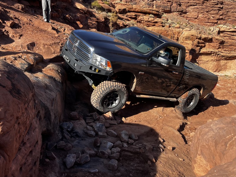
Moab, Utah, is renowned worldwide as a premier destination for offroad enthusiasts. Nestled in the heart of the American Southwest, Moab offers a diverse array of trails that cater to all skill levels. Whether it's an overland or rock crawling adventure you are looking for, this stunning red rock landscape offers 100s of open roads and trails that range from easy to extreme. The area spans over 103,000 square miles and includes lands managed by the Bureau of Land Management, The Manti-La Sal National Forest, Utah State Trust Land, Arches and Canyonlands National Parks, and the Sand Flats Recreation Area.
While the most well-known trails, such as Hell’s Revenge, Fins and Things, Poison Spyder, The White Rim Trail, and the Rimrocker, are typically the main attractions, the area is home to plenty of hidden gems worth exploring.
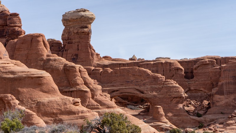
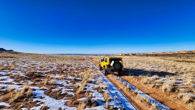
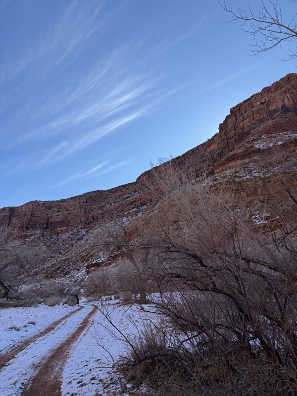
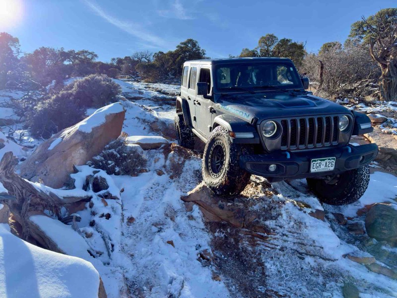
While visiting and riding the trails, enjoy Arches and Canyonlands National Parks to round out your trip. Plan accordingly because Arches now has a timed entry system from April through November, where you need a permit to enter. It is also important to know that summers can have extreme heat with monsoons, and even though it is a high-plain desert, it can snow in the winter months.
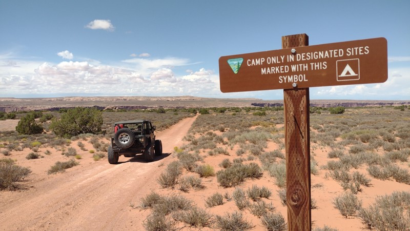
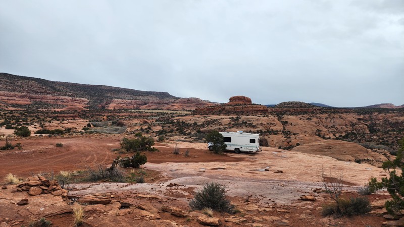
Dispersed camping is limited and only available in designated areas. Each Trails Offroad trail guide lists the various camping opportunities, including BLM’s designated campsites. BLM also manages several campgrounds with vault toilets and picnic tables. Within the town of Moab, you can find various lodging and dining opportunities and repair and maintenance services for your vehicle.
Top Reasons to Explore Here
Most Recent Trail Reviews
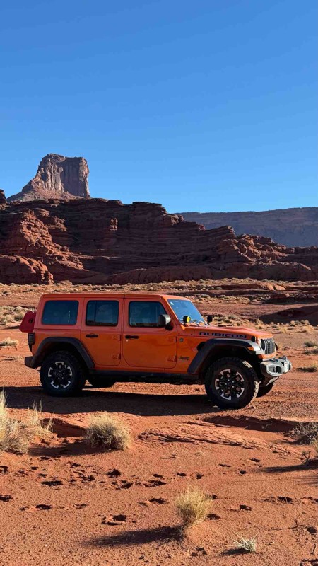
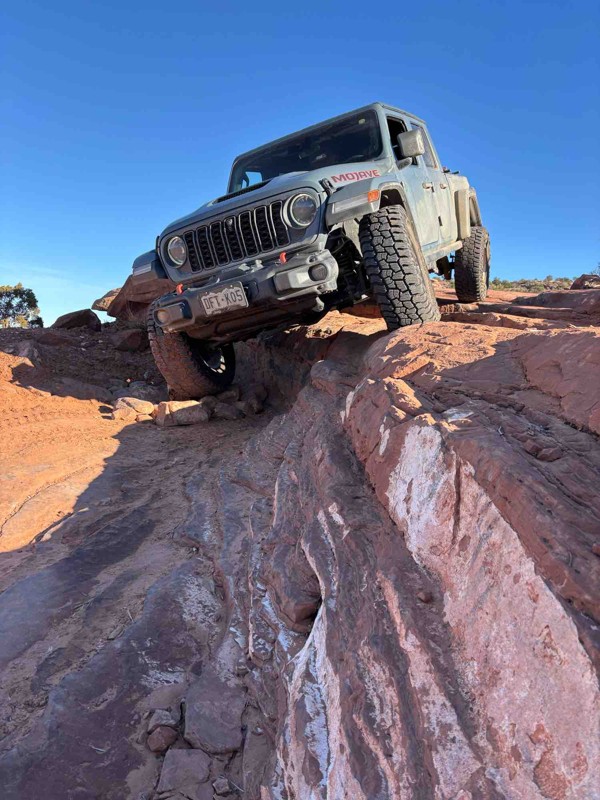
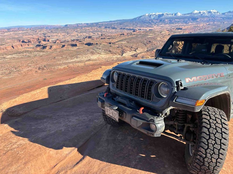
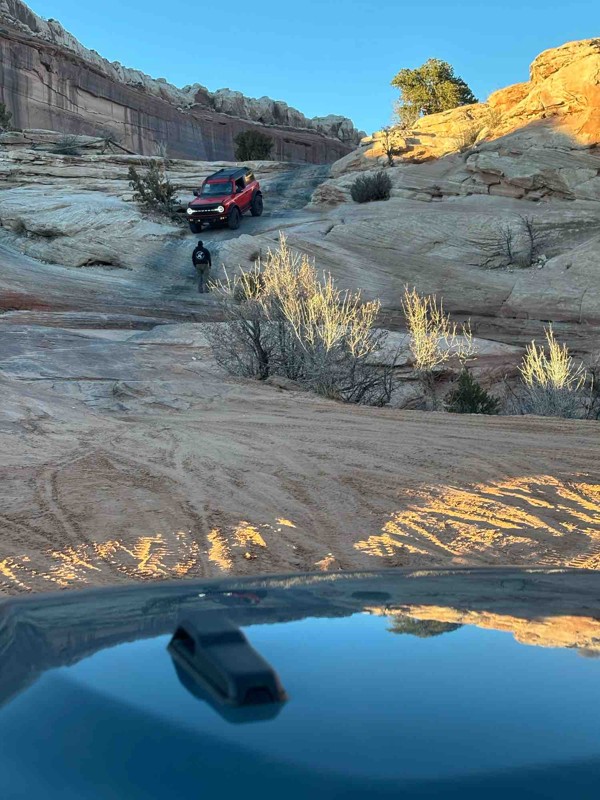
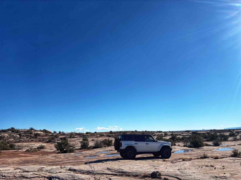
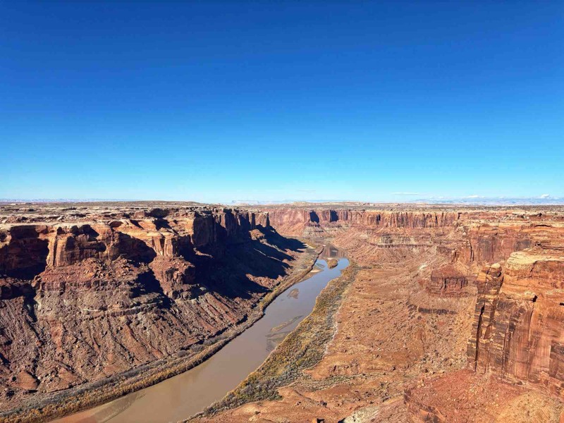
Most Popular
Rimrocker
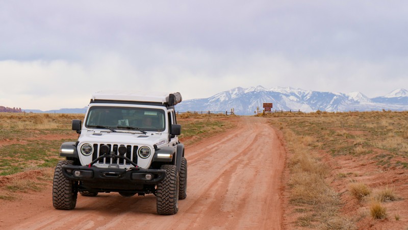
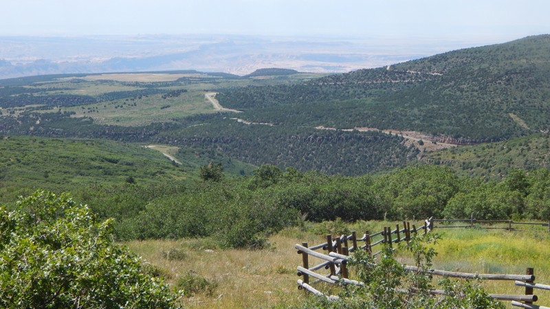
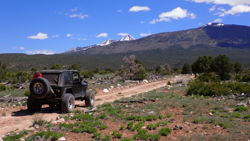
The Rimrocker Trail is a route of connected trails that allows you to enjoy 160 miles of off-pavement travel while experiencing the many different stunning landscapes that connect Montrose, Colorado to Moab, Utah. The trail is an especially vibrant destination to travel through the aspens during their fall color changes as well as stopping for the fantastic views at the overlooks. Towards the west end of the trail, the Manti-La Sal National Forest provides beautiful scenery and wildlife as well as gorgeous views of the La Sal Mountains. As you approach Moab, the landscape quickly turns from forest into desert as it transitions to some shelf roads built of the signature Moab red sand. Rimrocker travels through some historic areas of Colorado, highlighting the areas that reflect the mining days of the early 20th century. One area, in particular, is the old, abandoned company town of Uravan. Uravan is a contraction of Uranium and Vanadium. The town was a company town established by U. S. Vanadium Corporation in 1936 to extract the rich vanadium ore in the region. As a byproduct of vanadium extraction, small amounts of uranium were also produced. You will notice a green hue to many of the rocks as you travel through this region. The green hue is an indication of the presence of uranium ore. This trail is an overlander's dream trail offering multi-day camping opportunities, scenic vistas, impressive flora/fauna (absolutely massive swaths of Aspen stands), and a multitude of ever-changing biomes and landscapes. This trail is definitely one to take your time on, soak up the glorious sights and sounds, and make some new incredible memories. Whether you are brand new to overlanding or a seasoned wheeler, this trail has something for everybody. Don't forget the camera!
Fins and Things
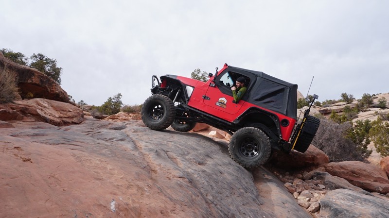
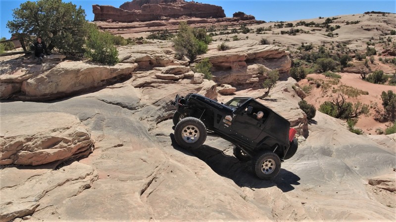
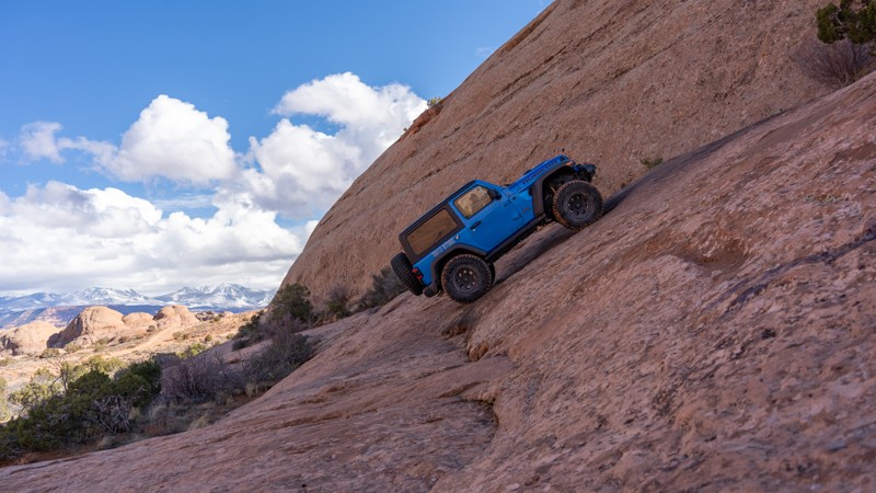
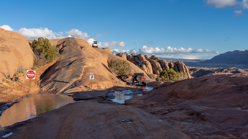
Are you looking for a trail close to Moab that provides an iconic Moab experience and is a Jeep Badge of Honor Trail? Then start the motor and head to Sand Flats Recreation Area for Fins and Things! This particular trail packs a tremendous amount of fun and grand views of the La Sal Mountains in the background while driving on the mysterious-looking "Fins and Things." "Fins" are the Navajo Sandstone slickrock formations northeast of Moab, and the "things" are what remain as the fins erode. The fins started as wind-blown dunes over 200 million years ago that got cemented into sandstone, and they are now going full circle back to sand blowing in the wind. The term "slickrock" emerged when early western settlers crossed this sandstone in wagons with wood wheels on steel rims. Those steel rims definitely didn't have the traction we have today with rubber tires. As a matter of fact, they found it rather "slick." Imagine facing down a 40-degree slope on wood and steel wheels! Fins and Things is the penultimate trail for proving just how grippy slickrock really is. You'll probably have a pretty tight grip on your seat cushion as well.
Hell's Revenge
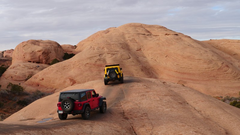
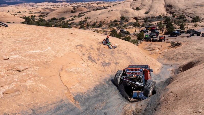
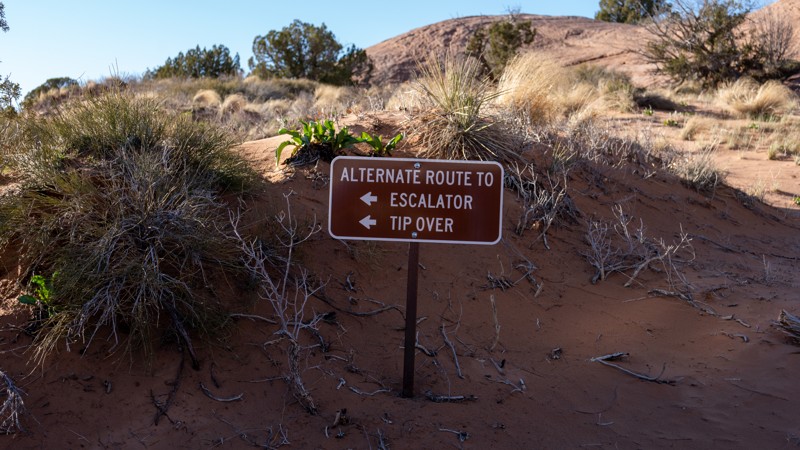
Welcome to Hell's Revenge, the world's most famous slickrock trail. Slickrock is petrified sand. The slickrock moniker dates back to when horse-drawn wagons would try to cross the seemingly easily traversed undulating sandstone. Metal horseshoes and steel-rimmed wagon wheels found no grip on the sandstone. Thus, it was called slickrock. Modern tires love the course sandstone. Moab's Hell's Revenge is considered a must-do for many wheelers. It's also in most folks' top 5 Jeep Badge of Honor Trails. When picturing Moab, the slickrock rollercoaster, fins, steep climbs, insane traction, and the two rubber tracks cresting over the hills off into the distance of Hell's Revenge is what comes to mind. If eavesdropping on conversations at any Moab watering hole, you'll hear names like Hell's Gate, The Hot Tubs, Car Wash, Micky's Hot Tub, The Escalator, and Tip Over Challenge mentioned reverently and constantly at the heart of any good Moab story. They are all on Hell's Revenge.
White Rim
Poison Spider Mesa
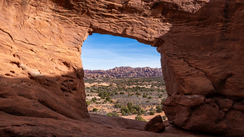
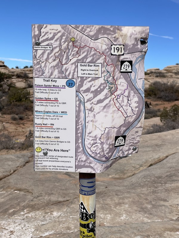
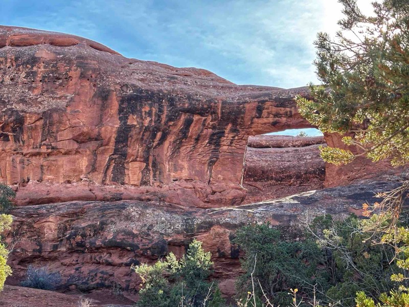
Moab is one of the premier off-road and four-wheel drive destinations. Comprised of many of the most well-known trails in all United States, it has trail types that suit all drivers wheeling desires and is often called an off-roader's paradise. Amongst these trails, Poison Spider is one of the most popular and challenging trails in the area. You get amazing wheeling, and you can also take in the inspiring Little Arch with a view of the Colorado River behind it. The bold will continue to Golden Spike, Where Eagles Dare, and finish on Gold Bar Rim. Very few complete what is known as "The Trifecta."
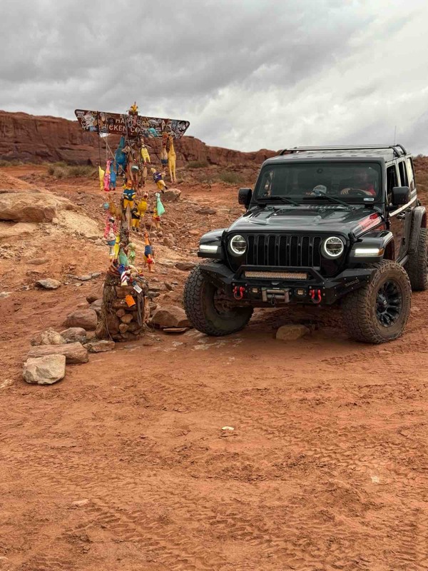
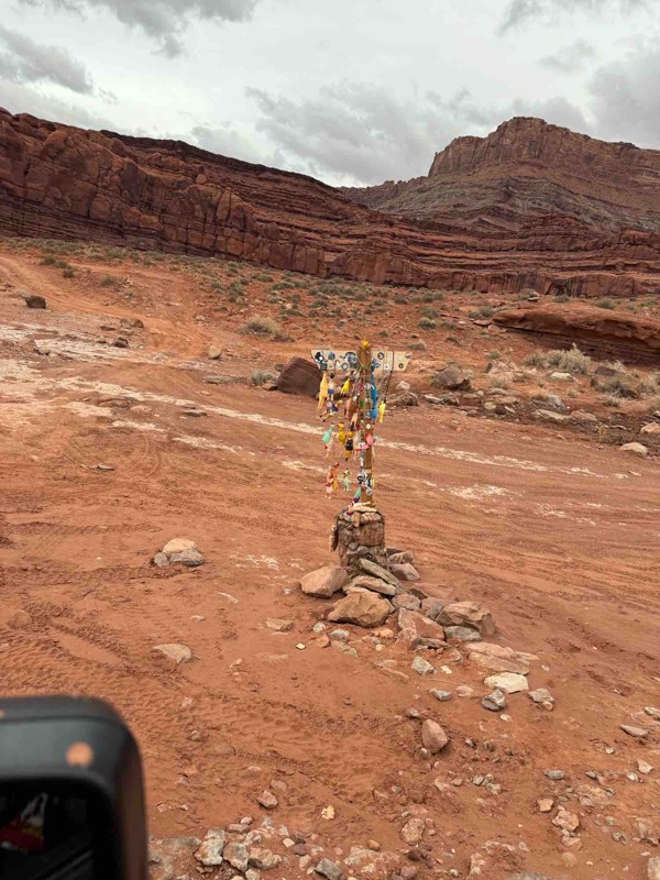
Chicken Corners
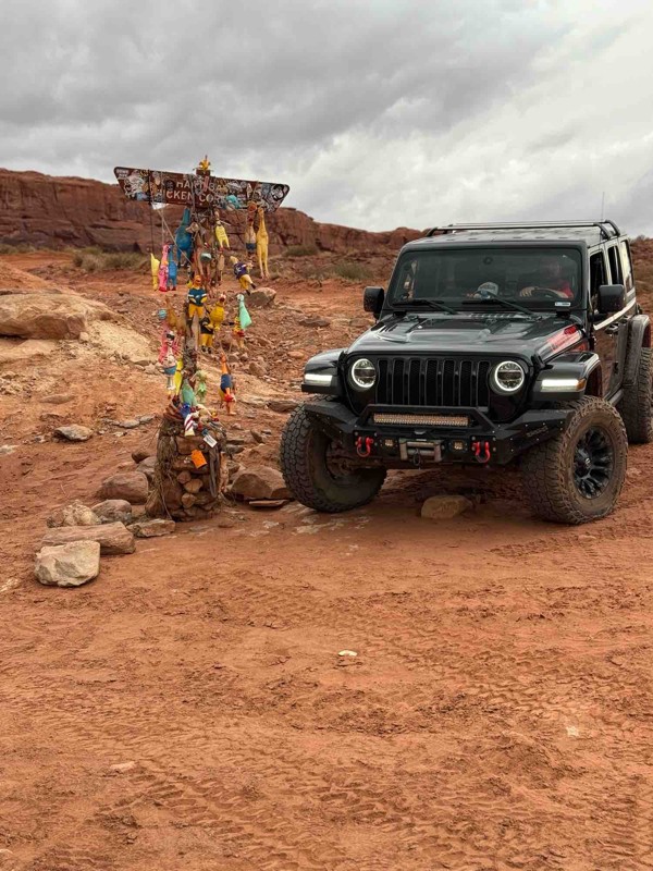
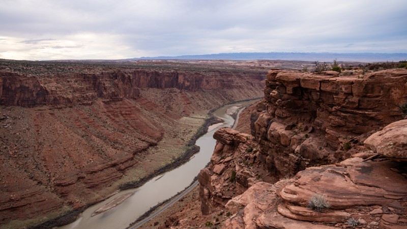
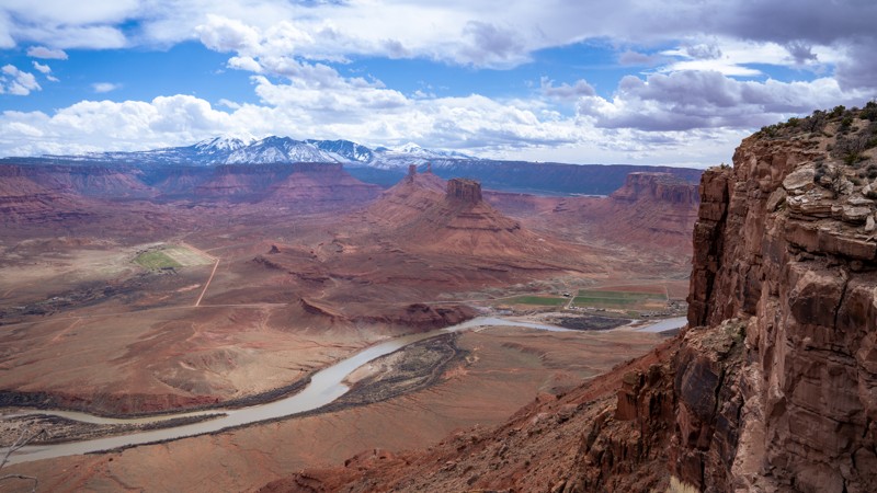
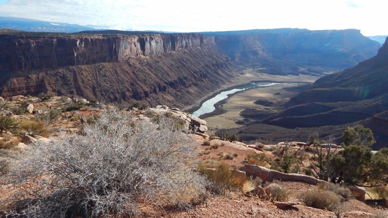
Traversing the red rock benches above the Colorado River, Chicken Corners is a scenic, out-and-back adventure that treats users to panoramic views of the river, Dead Horse Point State Park, and the Island in the Sky district of Canyonlands National Park. The trail culminates at Chicken Corners, a narrow, sloping section perched about 400 feet above the river, where early travelers would often dismount due to the exposure. Wildlife sightings, such as desert bighorn sheep, and geological features like catacomb caves and unique rock formations add to the trail's allure. Ideal for drivers seeking a scenic and less technical offroad experience, Chicken Corners provides a memorable journey through some of Moab’s most breathtaking terrain.
Top of the World
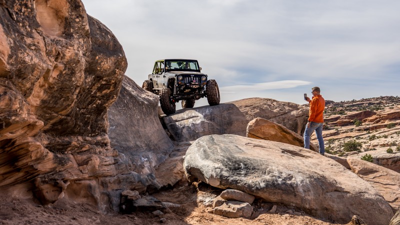
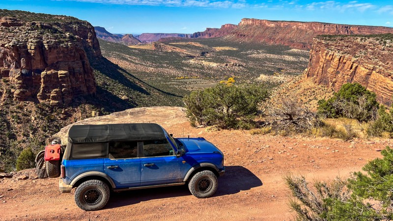
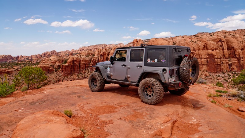
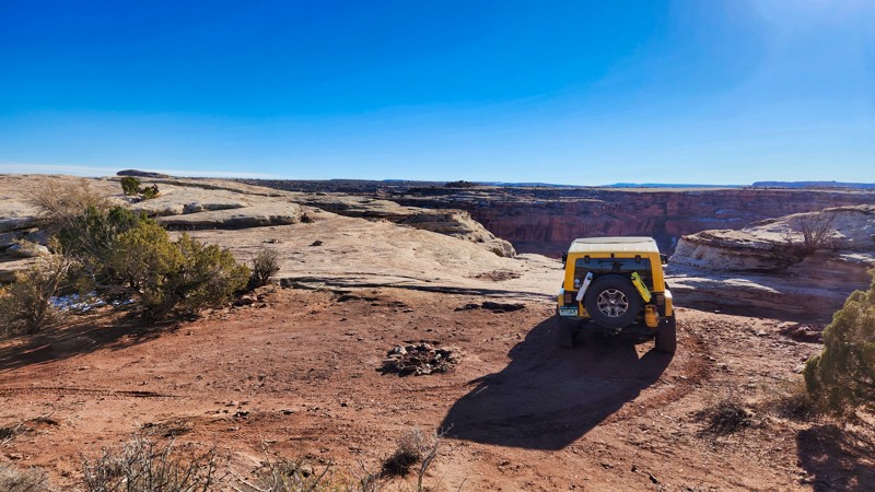
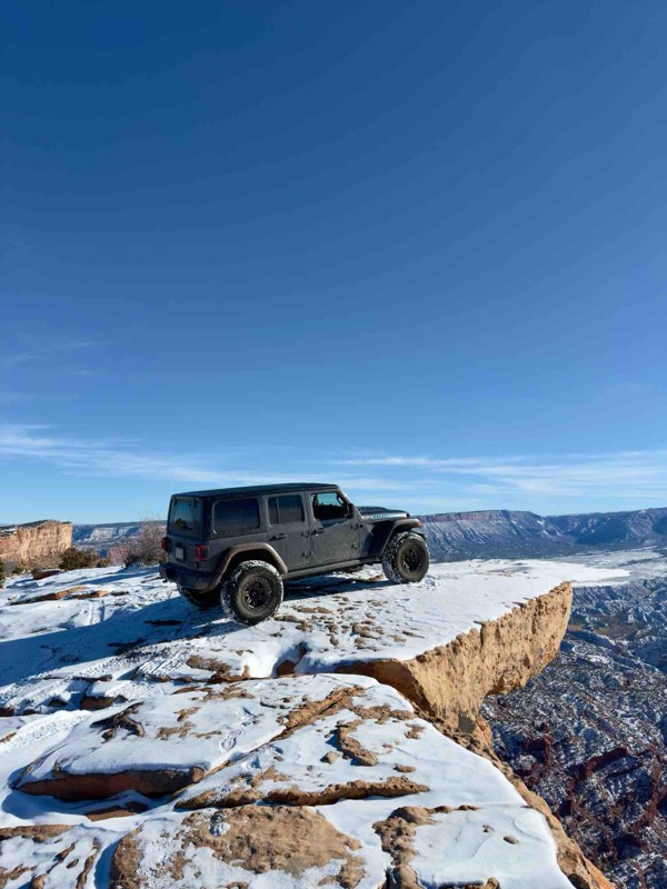
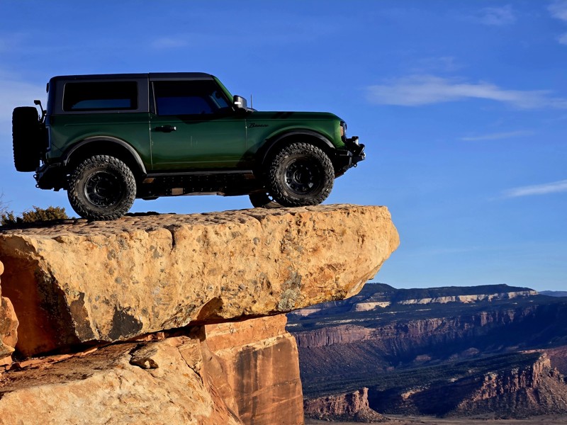
Whenever you see the photo of an offroad-ready rig on a sandstone slab jutting out over a glorious-looking red valley, that's this trail. That is right, Top of the World is a famous trail! It is most famous for its challenge and iconic views, let alone being a Jeep Badge of Honor Trail. The inspirational view from the top is going to automatically increase your bucket list to include Onion Creek, which you will have a birdseye view of as you nest on the perch above. The challenging drive to the top, its 360° view, and the unique photo opportunity make Top of the World a story you will tell for years to come.
Gemini Bridges
Moab can quickly be described as "unbelievable rock formations," and the main attraction on this trail is Gemini Bridges. Gemini Bridges are a pair of twin natural bridges that sit not far off this four-wheel drive road and are accessible via an easy hike. The bridges might be a destination, but this trail offers one heck of a journey! On top of being a great beginner road, the beautiful shelf section climbing out the valley, Gooney Bird Rock, other iconic offroad trails, and the overpowering view of the La Sal Mountains make this a trip you don't want to pass up.
Onion Creek
Steel Bender
Steel Bender is one of the more popular hard trails in the entire Moab area. Extremely close to town and easy to access, this trail offers an entire Moab experience in just over 9.5 miles. With towering Canyon walls, water crossings, sand dunes, slickrock fins, epic views, and ledges requiring the famous "Moab Bump", Steel Bender is non-stop fun and perfect for any adventure seeker or Jeep Badge of Honor trail hunter.
Sevenmile Rim
Are you looking for a Moab offroad trail that isn't over the top like "Metal Masher" or "Hell's Revenge"? Sevenmile Rim is the perfect trail to gain confidence to tackle those more difficult trails or soak in the sights. Packed with views in its entire 13-mile distance, it has every terrain type throughout the Moab region. The trail travels along the rim of the Big Mesa area with fantastic views to the east and the south into Sevenmile Canyon. As a bonus, you can get up close and personal with "Uranium Arch," which is just as majestic as those found in the National Park. This is the perfect trail for new drivers to Moab to get yourself and your skills ready for fantastic wheeling found nowhere else in the world.
Pritchett Canyon
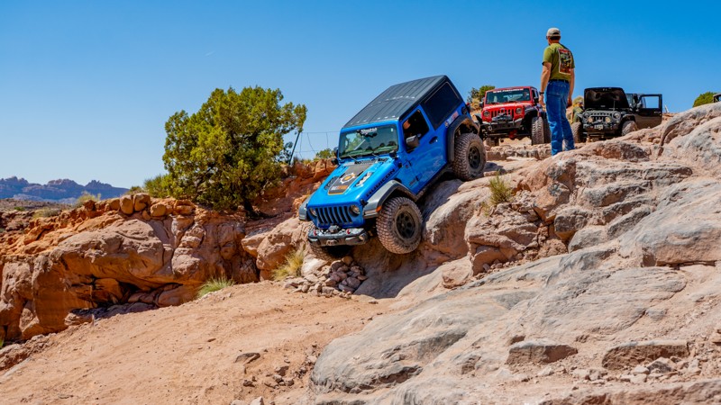
Located a short distance from downtown Moab, Pritchett Canyon is an iconic trail producing a continuous adrenaline rush. This trail's insane climbs, off-camber turns, and daunting ledges test the skills and endurance of the most experienced drivers and well-built machines. With a reputation of being the gnarliest Jeep Badge of Honor trail in the Moab area, this heart-pounding trail demands careful navigation and technical prowess, rewarding those who conquer its challenging obstacles with breathtaking views of towering cliffs and expansive vistas. If you want to put your off-roading skills to the ultimate test, gear up, grab some buddies, and embark on the journey of a lifetime through one of the most renowned offroad destinations in the world.
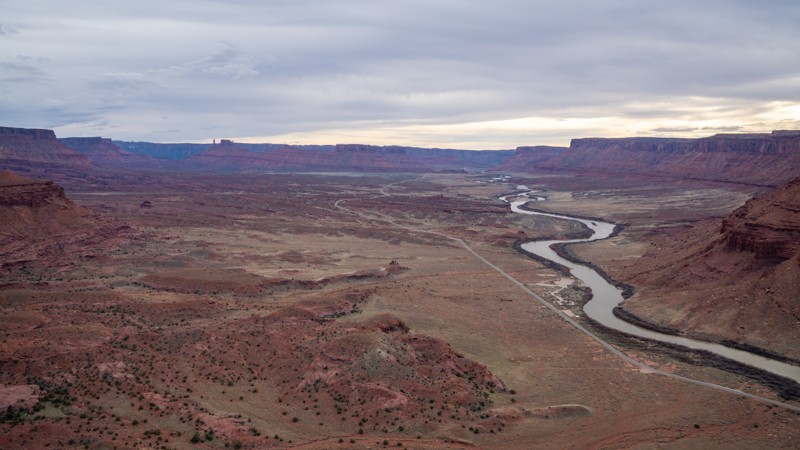
Potash Road
Potash Road is striking, with scenic natural, and unnatural personalities introducing themselves to you as you drive and explore the trail. Intricate canyons and hoodoos captivate you on the western end, followed by the Colorado River in the middle that begs you to pull a chair out and sit and stare at it all day. Then you reach the alien-post-apocalyptic landscape of the potash mines, asking yourself, "where on Earth am I, and what the heck is potash?" Combine all that with the stimulating Schafer Trail, and you have a great beginner's offroad adventure into Canyon Country.
Golden Spike
Easily one of the most famous off-road trails in the United States, if not the world. Golden Spike, home of the famous Golden Crack obstacle, is at the top of people's favorite trails in Moab, Utah. Full of amazing scenery, challenging obstacles, and even better stories, this trail is the perfect recipe to make any 4x4 trip legendary. You can easily say that this trail is one of those trails that offers it all. The trail has slickrock, fins, sand, narrow scenic canyons, waterfalls, ledges, long steep hills, amazing overlooks & viewpoints, wild obstacles, and sometimes standing water. If you are lucky, you might even see Golden Eagles soaring high above or catch a glimpse of a natural arch. So whether this is your first time in Moab or you are a seasoned vet, if you haven't done Golden Spike yet, this trail needs to be put at the top of your list to see why most people call this the best trail in Moab.
Shafer Trail
Easy and iconic, the Shafer Trail is a must-do when visiting Moab or the Canyonlands. The road was originally a cattle trail built by John Sog Shafer in 1917. Later, in the 1940s and 1950s, it was constructed into a useable road for trucks hauling uranium ore from the benches below. Long gone are the remnants of the old mining days, but the incredible and imposing rim walls still stand to remind you of how grand planet Earth really is.
Metal Masher
A short distance north of downtown Moab, Metal Masher features steep ascents and descents, off-camber sections, and numerous ledges up to 48 inches tall. The trail is peppered with large boulders, narrow ledges, and tight squeezes. All demand precision driving. A popular trail not only for its technical rock crawling challenges but also for its breathtaking scenic views from atop Arth's Rim, it's no surprise Metal Masher is recognized as a Jeep Badge of Honor trail.
Lockhart Basin
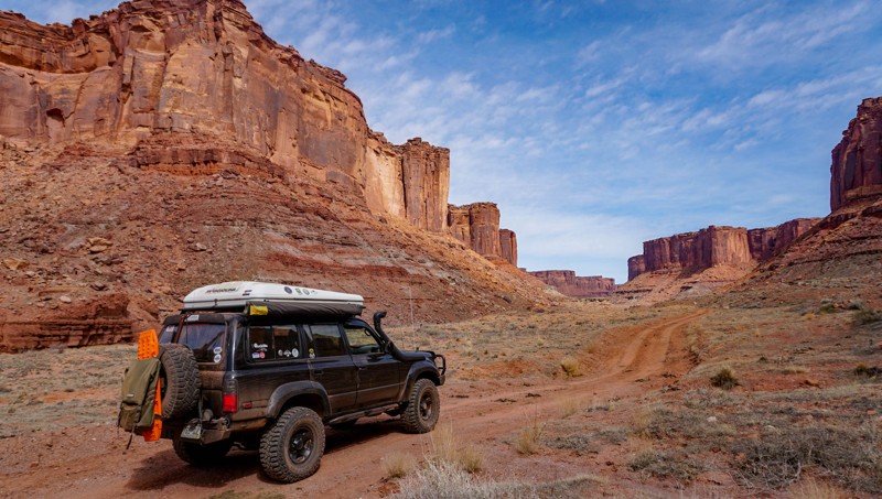
Traveling over a great distance and deep into the heart of desert and canyon country, a sense of freedom is the feeling you get when on the Lockhart Basin offroad trail just outside of Moab, Utah. It is remote and far from the traffic jams you experience on many other popular trails in the area. This route is often used to avoid pavement from the Moab area to the Canyonlands Needles District. Along the way, you witness the fortress-like walls of Hatch Point to one side of you, and the intricate and humbling canyon benches that were formed over time by the mighty Colorado River to the other. The trail is excellent for a long day or can be combined with other trails for a multi-day overland trip for capable rigs.
Long Canyon
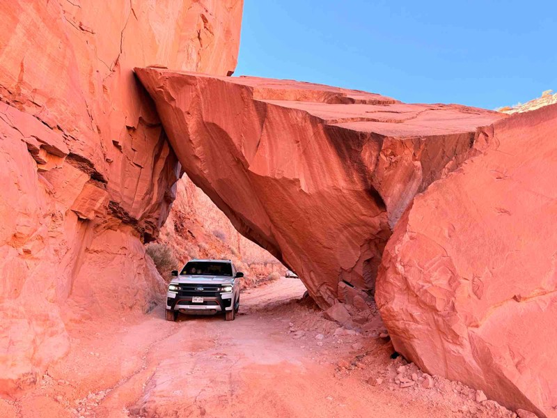
Offering stunning views of the surrounding canyons, rock formations, La Sal Mountains, and the desert landscape, Long Canyon is a picture-perfect trail for anyone visiting Moab and wanting to see big views. Along this steep drive, you'll encounter towering cliffs, expansive vistas, and unique geological features, including a one-of-a-kind rock tunnel you actually drive through. To get the most breathtaking experience, this trail is best done on a clear day, about an hour before sunset, to really highlight the scenery.
Cliff Hanger
Located 10 minutes from downtown Moab, Cliff Hanger is an intense trail with a world-renowned namesake obstacle that literally takes drivers to the edge of their abilities, as well as their vehicles. Nonstop slickrock ledges and epic canyon views await those that can calm their nerves as they traverse the side of Kane Springs Canyon en route across the only motorized trail on the Amasa Back. This trail rightfully earns its status as a Jeep Badge of Honor trail and is easily one of the most memorable trails in the Moab area, making you excited to tell your friends all about it.
Kane Creek Canyon
Tucked away in Moab's offroad paradise lies Kane Creek Canyon. This extreme, breathtaking trail offers one of the best all-around epic adventures you can experience in Moab. From dramatic red rock walls and countless water crossings to intense washouts and technical rock obstacles, Kane Creek Canyon offers adrenaline-pumping moments and jaw-dropping scenery. In the spring and early summer, the cool flowing water of Kane Springs Creek leaves behind mud and quicksand but feeds the towering cottonwoods that thrive in the refreshing water under the shadows of desert sage and junipers that dot the cliffside. Late summer monsoons bring intense rain, often creating narrow washouts and constantly changing the trail. Whether it is your first time on the trail or your 50th, Kane Creek will always be an adventure.
Moab Rim
One of the closest 4wd trails to the town of Moab, Moab Rim is a difficult and dangerous trail that requires your undivided attention but rewards you with awe-inspiring views of the Colorado River and the town of Moab. Climbing 950 vertical feet from the base of the canyon next to the river, you will encounter many rock ledges and tight turns, all of which you must traverse while leaning off-camber towards the cliff edge. With tons of obstacles and epic scenery, this trail is sure to entertain even the most hardcore wheeler. This off-road trail is also a great trail if you are short on time or want to hit one quick trail while passing through town.
Gateway – Castleton Route
Willow Springs Road
Situated near Moab, Utah, and partially within Arches National Park and Utahraptor State Park, Willow Springs Road is a great way to experience the Arches backcountry without the crowds. Desert washes, dinosaur tracks, and unique rock formations make this a great road to combine with Eye of the Whale and Tower Arch for a great day of wheeling within both a National and a State Park.
Owl Draw Upland (Dome Plateau)
The challenge is just as exhilarating as the views. Considered the gateway to Dome Plateau, the Upland trail is a four-wheeling adventure that we all expect from Moab. Epic views, rock crawling, and memories worth a lifetime are delivered every time you venture out to this remote area north of Moab. The challenges are moderate but enough to keep the adventure exciting for even the most seasoned wheelers. Plan for a long day when connecting this amazing trail with all the others that make up the iconic Dome Plateau Loop.
Mineral Bottom Road
Mineral Bottom Road is an epic offroad trail from the upper edge of Mineral Canyon into the canyon's bottom along the Green River. The visually stimulating descent into the canyon is along a switchback-filled shelf road that offers plenty of visual exposure with sheer drop-offs and imposing canyon walls. Mineral Bottom Road creates anxiety for those with a fear of heights. Once at the bottom of the canyon, you feel like you're in an old-time Western movie, passing towering walls and massive buttes. This is a popular road for all recreation types and leaves a lasting memory for all users.
Courthouse Rock aka Buttes and Towers
Simply amazing is an appropriate description for this iconic Easter Jeep Safari route. Buttes and Towers follows an easy but rocky route around the most majestic landscapes in the Moab area. The trail offers very mild rock-crawling challenges for stock-type 4x4s on its massive stretches of sandstone. You will climb up and around the towering Courthouse Rock circle around the ledge at Pasture Butte before ending near the famous Determination Towers. The trail has numerous points where you'll want to stop, get out and soak it all in. For the lesser experienced offroaders, this is a great way to get the complete experience of a Moab adventure.
Eye of the Whale
Walking through the Eye of the Whale feels like walking into the mythical Middle Earth. Bright green plant life, pink and reddish sand, and standing trees are seen through the portal view shaped like a giant eye, the Eye of the Whale. Getting there is half the fun. This four-wheel drive road inside Arches National Park is one of the more adventurous ways to visit while avoiding crowds. Deep sand, washes, and slickrock are all surrounded by the otherworldly rock formations that immortalize Arches National Park. Combine this with Tower Arch Road and Willow Springs Road for an unforgettable day in one of the most famous National Parks in the United States.
Copper Ridge
Hurrah Pass
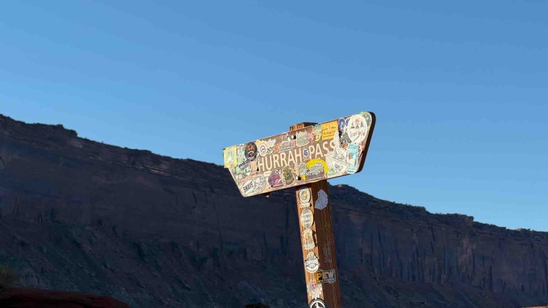
Hurrah Pass is a scenic offroad trail located a short distance outside of downtown Moab, offering a quintessential red rock desert experience. The trail winds its way alongside dramatic canyon walls, sandstone formations, and wide-open desert vistas. It gradually ascends to the summit of its namesake Pass at about 4,800 feet, providing panoramic views of the Colorado River, the potash evaporation ponds, Kane Creek Canyon, and endless jagged cliffs and buttes Moab is widely known for. Hurrah Pass is popular for its blend of manageable terrain, rich desert scenery, and access to further backcountry routes like Chicken Corners, making it a favorite for those looking to explore the remote beauty surrounding Moab without extreme rock crawling.
Behind the Rocks Trail
Porcupine Rim
Don't miss this gem in the Sand Flats Recreation Area. While not as famous as other local trails, it is well worth the time and effort it takes to run this route. To say this trail is scenic is an understatement. Virtually the entire 9 miles are rough outcroppings of the classic Moab slickrock, making for a challenging but fulfilling trip.
You may recognize the rock formations and terrain features along this trail because the area has been in several movies and TV shows. The same scenery that brings filmmakers is the highlight of this trail. As one of the highest-elevation trails in Moab, the views of Utah in are fantastic in all directions. The views include the La Sal Mountains, Castle Valley, Round Mountain, Castleton Tower, and the Colorado River on the north side. The south side of this trail has views of Moab, the sandstone rock 'fins,' and the famous trails in the valley.
Gold Bar Rim
Wipe-Out Hill
Salt Valley Road
This road is filled with amazing views of Arches National Park, the La Sal Mountains, and Klondike Bluffs. It offers a direct route from Crescent Junction to deep inside Arches National Park, finishing just shy of Devil's Garden. Enjoy the desert views along the way with varied terrain, and notice how the ground colors change as you drive this trail.
Lost World
Tucked away in the rugged red rock wilderness northwest of Moab, Utah, Lost World is an emerging favorite among offroad explorers. The trail winds through a surreal landscape of petrified sandstone fins, spires, ancient canyons, and wide-open desert views that seem untouched by time. As you crawl over slickrock shelves and drop into sandy washes, each turn reveals a cinematic view, from the snow-capped La Sal Mountains and distant Henrys to the maze-like chaos of sculpted rock below. Far from the crowds and deep in Utah’s backcountry, the Lost World trail delivers raw adventure and striking scenery with a journey into a prehistoric-looking expanse where solitude reigns.
Rose Garden Hill
Used as the only connecting route between Top of the World and Onion Creek, Rose Garden Hill is one of Moab’s most iconic challenges, and the hardest section of the overlanding route known as the Kokopelli Trail. The trail offers scenic wash driving, steep inclines, steep descents, loose soil, big ledges, epic views, and off-camber shelves that will test your vehicle and your nerves. This slow, rough, and narrow 4WD road can be tackled as a standalone challenge or part of a much longer, multi-day route connecting various trails.
Klondike Bluffs
Dinosaur tracks, slickrock, and washes - consider this trail your very own offroad Jurassic Park experience, without the risk of being eaten by Velociraptors. Klondike Bluffs, sitting just north of Moab and bordering the 300-million-year-old formations of Arches National Park, is truly an enjoyable and interesting 4WD trail. It travels alongside the visible evidence of the Jurassic time period and right up to the mysterious-looking rock formations of the Bluffs and Arches National Park. Combine this trail with Klondike Bluffs Escape for a visually stimulating route into Salt Valley and Arches National Park.
Tower Arch
Situated in Arches National Park, a major tourist destination known for its many sandstone arches, is a hidden gem four-wheel drive road known as Tower Arch Road. Driving the road is perhaps what our national parks must have been like in their infancy - rugged, remote, beautiful, and hard to get to! Traveling through red, pink, and brown sandstone formations, up and over ledges, and through reddish sandy dunes, you reach the namesake, Tower Arch. When you arrive, you feel like you have been tucked into the corner of nowhere as the sands of time are ever-changing, the magical landscape that time seems to have forgotten. Combine this with Eye of the Whale for an unforgettable day trip in Arches National Park.
Flat Iron Mesa
Kane Springs Road
Kane Springs Road, also labeled as Kane Creek Blvd and Kane Creek Road, is an important connector and camping road when visiting Moab. Look for the McDonald's in town, and turn west. The first 4.5 miles is rough pavement. The road then turns to dirt, which is where this track starts. The trail descends into the Hunter Canyon area before the road opens into a more expansive canyon with panoramic views. The road is usually suitable for any vehicle. However, the road is known to flood during wet weather in the last half mile, where you cross Kane Springs Creek, causing issues for 2WD vehicles.
Kane Creek Road connects to Moab Rim, Pritchett Canyon, Cliff Hanger, Kane Creek Canyon, and Hurrah Pass. The road is also home to the Ledge Campgrounds, with over 105 sites scattered over five areas labeled A - E. The first-come, first-served campsites have picnic tables and vault toilets.
Bull Canyon
Bull Canyon is a unique offroad experience well-suited for beginners. The trail takes you through winding canyons, towering cliffs, and sandy washes just off the famous Gemini Bridges trail. The trail is aptly named. Ranchers used the canyon as pasture land for their cattle. Seeing cows along the trail is not uncommon. The trail provides access to a short hike that leads to the magnificent Gemini Bridges. In addition to the natural beauty of the Gemini Bridges, you get deep into the heart of the awe-inspiring beauty of the unique landscape surrounding Moab. Combine this trail with Gemini Bridges, Surprise Overlook, and Long Canyon for an introductory route into wheeling around Moab.
Spring Canyon Bottom
Located northwest of Moab, Spring Canyon Bottom is a trail of transformation. What begins as a humble gravel road quickly sheds its simplicity, plunging offroaders into a dramatic world of red rock majesty. The terrain tightens into a narrow shelf road etched into sheer canyon walls, where every twist tests your nerves, and every turn rewards you with jaw-dropping views. This trail is not just a drive but a visceral experience. Your hands grip the wheel a little tighter, your heart beats a little faster, and your senses heighten with each minute that passes along the shelf road. It's a trail that commands respect and focus but also delivers unforgettable beauty in return.
As you descend into the serene heart of Spring Canyon and approach the wide expanse of the Green River, a sense of awe replaces adrenaline, but don't get too comfortable. The journey back is just as intense, this time clawing upward through the very challenges you just conquered. Spring Canyon Bottom is an offroad journey that leaves you breathless, both from the views and the ride itself.
The Catacomb Spur
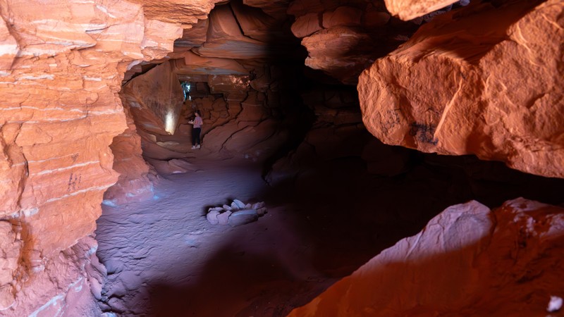
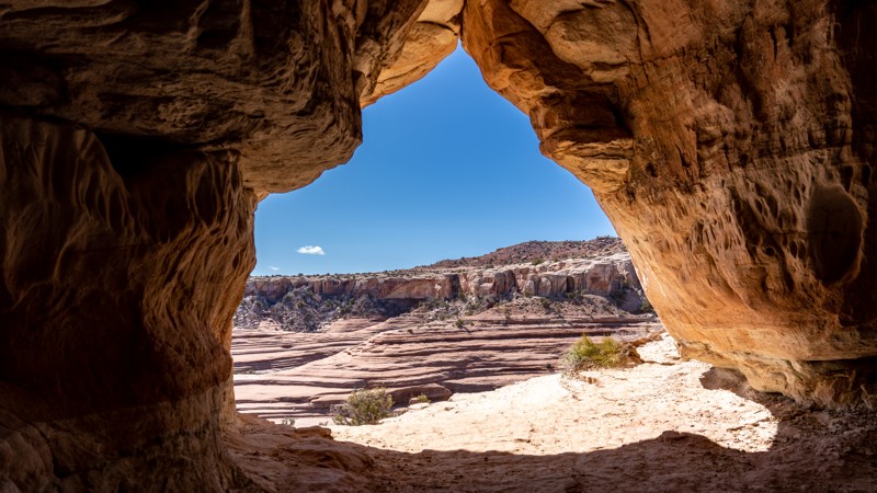
The Catacomb Spur is a uniquely hidden gem along the popular Chicken Corners Trail. Offering a short jaunt to the Wind Caves, also known as Catacomb Rock, users can wander a natural maze of wind-carved tunnels, where the air is cool, the views are spectacular, and the experience is peaceful. This trail offers fantastic camping with sweeping views across the canyons and mesas, as well as technical challenges the further along the trail you travel.
Rusty Nail
Rusty Nail is a difficult rock crawling 4x4 trail that is a "shortcut" to the most popular and most difficult obstacles on the Golden Spike & Gold Bar Rim trails. This trail challenges the most seasoned veteran wheeler, both physically and mentally. Large, off-camber, undercut ledges, true to the Moab testament, make up the majority of the obstacles on Rusty Nail. Although there are only four named obstacles, the trail is riddled with numerous challenges and no bypasses. There are alternate routes on a couple of obstacles, but those routes are just as difficult, if not more difficult, than the main route.
Entrada Bluffs Road
Behind the Rocks Road
Not to be confused with the Behind The Rocks Trail, Behind The Rocks Road is a rough and rocky 9-mile-long connector road between Picture Frame Arch and Pritchett Canyon. It connects a spiderweb network of trails and is the main exit from the popular hardcore trails Pritchett Canyon and Behind The Rocks Trail, connecting those folks back to Highway 191. This road has both fast and slow crawling sections and is traveled by users in both directions. The road becomes more challenging the farther north you travel. The southernmost 3 miles is the easiest, with a mix of hard-packed dirt, sand, and slickrock slabs. The middle 3 miles traverse several ledges and a short section of rutty shelf road. The northernmost 3 miles, just past the Kane Creek Canyon Overlook, are the most difficult, with a continuous onslaught of rough-cut slickrock ledges, many of which are 18-32 inches tall. This road is best suited for modified vehicles with larger tires, small lifts, and skid plate protection.
There is no suitable camping along this stretch of Behind the Rock Road.
La Sal Pass
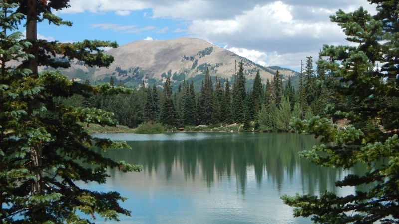
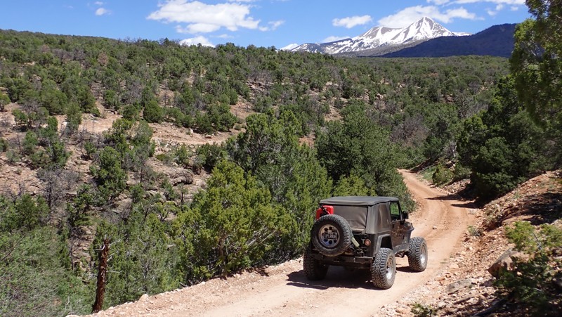
Break away from the valley heat in Moab and climb into the clouds along the La Sal Pass trail. Within this region of the Manti-La Sal National Forest, rocky peaks tower over 12,000 feet. La Sal Pass zigzags through the pine and aspen trees before summiting the picturesque pass between the mountain tops. The trail offers a beautiful half-day trip to the two small mountain lakes near the summit. The trails early section is still recovering from a recent fire, but the vegetation at higher elevations eventually envelopes you in a very dense forest with abundant wildlife.
Hook and Ladder OHV #1 (Cameo Cliffs)
Little Canyon
Within a network of more well-known trails lies Little Canyon. This unique trail is nestled between Gold Bar Rim and Bull Canyon, taking you across a traditional Moab landscape just northwest of town. You will likely have the trail all to yourself as you take in the breathtaking scenery. The La Sal Mountains tower in the background, rising over the red fins for which Moab is so well known. Alongside the expansive views are numerous shelves, ledges, and waterfalls, drawing your attention away for just a brief moment in time. This diverse combination of experiences will leave a lasting impression on those fortunate enough to find this hidden gem.
Hideout Canyon Road
Hideout Canyon Road connects the east end of Onion Creek Trail to Polar Mesa. The trail is almost 11 miles of ever-changing terrain. The trail traverses loose sand, exposed slickrock, gravel roads, and hard-packed dirt. The shelf roads and steep switchbacks provide expansive Thompson Canyon and Fisher Valley views. Hideout Canyon Road is lined predominantly with Utah Juniper, but a handful of large deciduous trees provide a brilliant pop of color during the Fall as their leaves change to bright gold. When starting from Onion Creek Trail, all but one of the obstacles require you to climb over them. Approximately a mile north of Onion Creek Trail, after crossing through an opening in a fence, you quickly descend a steep 16-degree switchback comprised of loose sand and large embedded rocks the size of a beach ball. When starting at Polar Mesa, you are tasked with descending the obstacles and climbing the steep switchbacks. Hideout Road is a perfect trail for beginners in a high clearance 4x4.
Along the trail's north end, 1.75 miles from Onion Creek, campers can find several remote campsites at the BLM's Hideout Canyon Camping Area. Here you can find vault toilets but no other amenities. The rest of the trail offers limited dispersed camping, and the few available sites are subpar. The two dispersed sites observed along the trail are not level and are incredibly close to the road.
Sand Flats Road
Sand Flats Road travels through the famous Sand Flats Recreation Area, connecting Moab to the La Sal Mountain Loop Road. This easy road provides trailhead access to many of Moab's most popular and famed trails: Baby Lions Back, Hell's Revenge, and Fins and Things. Porcupine Rim, Mill Creek Rim West, and Mill Canyon Rim East also connect to/from Sand Flats Road. The road has a mixed surface, including pavement, gravel, and dirt, with many washboard sections. The road drives along several exposed shelf sections and is 2-plus vehicles wide the entire way. This road is suitable for any vehicle.
Entering Sand Flats Recreation Area does require a daily fee, and camping is an additional fee.
Nine campgrounds lettered A through J, with over 120 campsites, are open year-round on a first-come, first-served basis. Only group campsites can be reserved. Camping is limited to these designated sites. The campsites have nearby vault toilets. Expect the campgrounds to fill quickly from Thursday through Monday.
Where Eagles Dare
The Pickle
The Pickle is an extremely short 4X4 trail with only a few challenging obstacles. It follows a wash through a canyon less than 100 feet deep. With one extremely narrow, mandatory section, this trail is not recommended for full-size trucks. This is a great trail to test your off-road rig's suspension or learn how to scale the slickrock ledges that Moab is known for. It is also a bit cooler, with plenty of shade provided by the canyon walls.
Deadman Point Road
Located a bit off the beaten path lies this gem of a trail. About 45 minutes north of Moab, Utah, Deadman Point used to have quite the ending until the final few miles of trail was closed in 2023. This trail has your typical Moab type scenery with sagebrush and sand, but it's the views that make this all worth it. After a long day out exploring, the distant views help relax the soul. This area is also very popular for camping and you could easily make a weekend exploring all of the trails out in this region. If you are up for the final 3/4 mile-long hike, the overlook view is worth the effort.
Spring Canyon Point
With backdrops straight out of a western movie, Spring Canyon Point is a wonderful way to escape into Labyrinth Canyon for a night under a Dark Sky. With easy access from Dubinky Well Road, the trail begins along blowing red sands with distant views of Tombstone Butte. At the base of the red tower, you will find numerous campfire rings and a large fenced area for parking. Continuing west, the distant views of buttes and towers amaze as you climb above the colorful landscape. Once out onto the point, creating a thumb into the Labyrinth Canyon Wilderness, the views down into the canyon are breathtaking as you creep up to the edge. Use caution, closely watch children and pets along the cliff edge. The trail is ideal for overland groups or individuals seeking to escape the Moab crowds.
Owl Draw
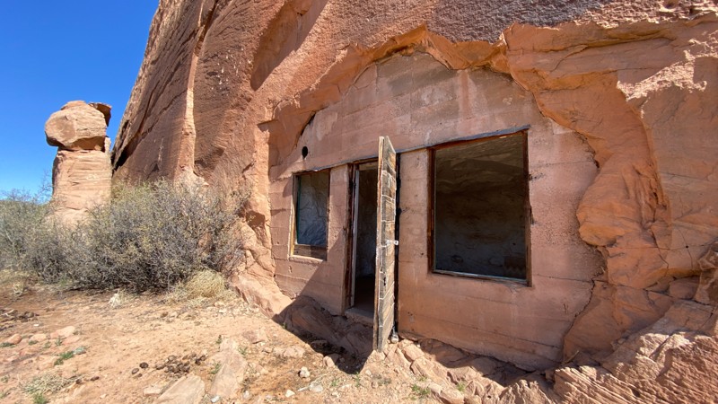
Whether you're beginning or ending your Dome Plateau adventure on this scenic route, you'll enjoy solitude and a bit of history as you traverse a rugged landscape. Owl Draw winds through canyons, over sprawling golden meadows, and along breathtaking sandstone cliffs with views of the La Sal Mountains. Owl Draw is the vital connector for multiple sections of the iconic Dome Platea Loop and is a worthy trail in its own right. The old log cabins tucked up in the rocks are just one of the highlights of this incredible drive.
Four Arches Canyon
Dome Plateau Overlook
This leisurely drive ends with one of the best views in the western United States. The Dome Plaeau Overlook will take your breath away in many ways. You catch glimpses of the views as you travel along the trail. Only when you're about to drop down the hill at Waypoint 4 do you realize what's in store. The views of the Colorado River set against the distant plateaus and mountains are phenomenal. No matter what you're planning on doing while exploring the Dome Plateau, be sure to plan a stop at this one-of-a-kind overlook.
Dry Mesa
Dry Mesa is tucked far back in the Arches National Park, next to a popular hiking trailhead. You literally drive over the sidewalk into the colorful Cache Valley Canyon and quickly enter BLM land. Once out of the park, you wind through a rocky wash as the canyon walls become taller. After a few mild rocky climbs, the imposing Limousine Hill looms ahead. It looks like it goes on forever. This hill is steep and very challenging. The dirt is loose, the rock ledges are many, and did I mention it was steep? The minimum needed is 33s, lockers front and rear, and nerves of steel.
Once you reach the summit, take a few breaths, and decide which way to run the loop around Dry Mesa. The trail loops around to several overlooks, each with its own unique view of the Colorado River far below. The challenges on top are mild compared to what you had to go through to get up there. There's camping at a few of the overlooks, but the winds can be quite strong and relentless.
Jackson Hole
Dubinky Well Road
One would think that a trail with a name like Dubinky would be based on a family name. But that is not the case with Dubinky Well Road. The term originates from two brothers, Red and Dubinky Anderson. The story gets murkier because it is unknown if "Dubinky" was Dubinky's given first name or if it came from the rumored story of running from a ghost. Storytellers say he was so scared it caused him to run ten miles to what was to become Dubinky Ranch. Either way, Dubinky Well Road near Moab is steeped in ranching history, and the well itself was once grand central for those seeking water. Today, it provides easy access to several more famous roads, beautiful views of the La Sal Mountains to the southeast, and the longest cliff line in the world, the Book Cliffs, to the north.
Klondike Bluffs Escape via Baby Steps
A short trail with big views! Descending from the top of Klondike Bluffs, you are greeted with expansive open views of Salt Valley below you and Arches National Park across from you. Near Moab, Utah, the Klondike Bluffs are something you don't commonly see. The odd discoloration makes you think you are in a completely different part of Utah. This remote and challenging trail puts you into a new area with miles of trails to explore, as well as putting you right at the border of Arches National Park.
Hellroaring Canyon North Rim Overlook
Lathrop Canyon
Mineral Point
After crossing the rugged and remote desert to reach Mineral Point, you're rewarded with breathtaking views of the Green River winding through Labyrinth Canyon. A textbook example of water's power, Labyrinth Canyon was carved over millions of years by one of the last wild rivers in the United States. Deep into the canyons visible to the south along the trail are ghostly silhouettes of the buttes and towers within Canyonlands. Long stretches across tall grassy meadows help break up the slow, bumpy sections. One final ledge must be conquered to reach one of nature's true wonders. Or you can simply park and walk the final quarter mile to this amazing overlook.
Kane Creek Canyon Rim
Blue Hills Road
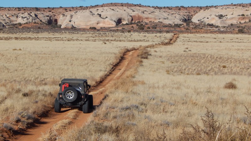
Traveling across seemingly endless prairie lands, Blue Hills Road leisurely meanders along the edge of Moab's most iconic 4x4 areas. You can set up basecamp for up to 14 days at one of the many boondocking areas or choose a side trail and find a private campsite back in the hills. The route has beautiful views of the red rock cliffs and distant mountain peaks. This is the main access road to numerous popular 4x4 trails and an excellent way to see the local wildlife grazing on the prairies. Pronghorns are often seen in large herds, racing across the rolling hills, while the prairie dogs vigilantly watch for predators.
Bartlett Wash Road
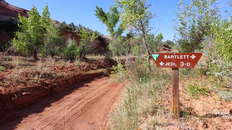
Bartlett Wash provides plenty of visual stimulation as you drive alongside sandstone cliffs formed over 100 million years ago and full cottonwoods offering shade in the summer. Many will want to drive it for the experience, while others will drive it to reach Hidden Canyon, Tusher Tunnel, or The Pickle. Whatever your motivation, Bartlett Wash is a road everyone takes at least once in Moab.
Triangle Road
Triangle Road is an interesting and scenic part of the overland route from Grand Junction to Moab. The easy 24-mile track has relatively simple dirt roads with small rock shelf sections. The trail's most exciting part is the Delores River crossing. Normally two to three feet deep, the Delores can rise to five feet or more during the Spring runoff. Just be sure to scout the crossing. Swinging in an arc seemed to be an easier crossing than straight through. When scouting the crosses, look for the sand bars, as the water will be shallowest there. While the rest of the trail can be done easily by a 2WD vehicle, the river crossing is a significant challenge and requires a high clearance vehicle. Once past the river, the trail ends at an intersection with Entrada Bluffs Road, which can be taken west to Highway 128 and Dewey Bridge.
The trail offers plenty of camping for overland vehicles and tent campers if you choose to go light. There are several designated campsites between Entrada Bluffs and the river crossing.
Hidden Canyon
The Hidden Canyon offroad trail is scenic and fast-paced, nestled between The Blue Hills and Barlett Flats. Just north of Moab, the route takes you deep into a colorful canyon with Windgate and Entrada Sandstone walls. Due to the ease of this trail and others in the area, this is an excellent location for new offroaders to test their skills without sacrificing the "fun factor."
Bartlett Overlook
Bartlett Overlook, also known as Hidden Canyon Overlook, is an excellent way to get on the rocks around Moab, Utah, without the extreme challenges of the more well-known trails. The trail travels to a breathtaking overlook of Hidden Valley and much more. This mildly challenging route travels through a very diverse and transitioning landscape. The red sandstone mesas seem to rise out of nowhere, creating a swirl of dramatic colors. The trail does have a few challenges to test you and your vehicle's capabilities.
Hidden Canyon Overlook
Hidden in the Labyrinth Canyon Wilderness lie numerous canyons to explore from both below and above. Hidden Canyon Overlook is part of the 3D Safari Route and gives a feeling of being deep in the outback. The trail traverses dirt, sand, and broad expanses of exposed bedrock, locally known as slickrock. The trail ends approximately 500 feet above Hidden Canyon, whose red and white sandstone contrasts with the blue sky and green vegetation. With the snow-capped La Sal Mountains in the distance, this place is a visual spectacle to cherish.
Cotter Mine Road
Dry Fork Bull Canyon
Seclusion, desert valley floors, high canyon walls, vegetation, and a meandering wash make Dry Fork Bull Canyon worth exploring. Situated near Moab, Utah, and a quick drive from the famous Gemini Bridges Road, this trail gives you that remote feeling that many off-road explorers seek. Once deep into the canyon, there are endless nooks and crannies along the edge of its walls to explore in detail by foot.
Note: This is not the more well-known trail, "Bull Canyon."
Lockhart Canyon
Staircase
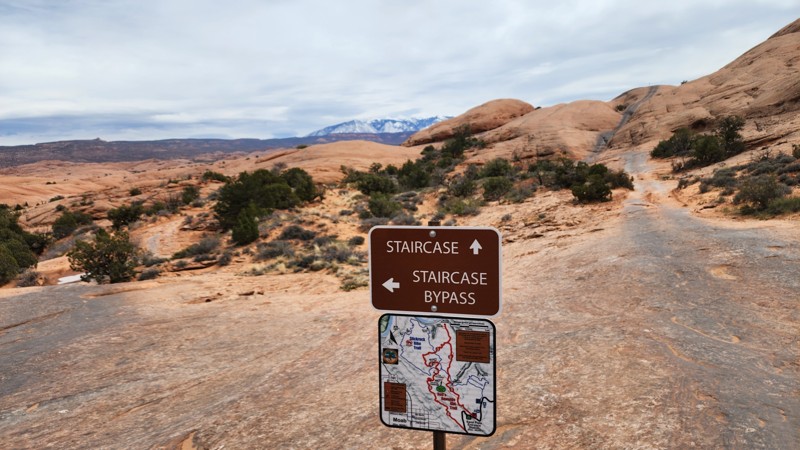
The Staircase is an older optional route previously closed for 10-15 years. Added back onto the Hell's Revenge trail map in 2022, this difficult slickrock chute is an excellent connector from Tip-Over Challenge to the large slickrock domes near the start of Hell's Revenge. The trail is one-way from west to east and descends a steep, narrow hill before leveling out and approaching the namesake obstacle. The main obstacle is a steep, slickrock chute with several off-camber ledges and deep holes. Tire placement is critical and short-wheelbase vehicles will find this obstacle more challenging.
This trail is best suited for experienced drivers with well-equipped off-road vehicles. Good suspension travel and traction aid devices such as lockers are highly recommended.
Anticline Overlook
Breathtaking cliff-edge views await you at the end of this easy 18-mile out-and-back gravel road. With multiple overlooks along the route, numerous side trails to choose from, and abundant camping, Anticline Overlook is your gateway to a remote and scenic Utah adventure. Named for the curved, uplifted Kane Creek Anticline, this dramatic landscape has views that rival the Grand Canyon. The overlook site has picnic tables, small shade shelters, interpretive signs, and a pit toilet. There is no water or camping at the Anticline Overlook, but dispersed camping is available on multiple side trails or at the Hatch Point Campground. With durable tires and dry conditions, the route can be completed in a passenger car.
Looking Glass Road
Hell's Gate
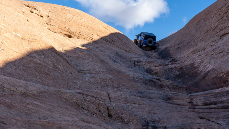
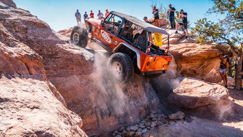
Hell's Gate is a famous and challenging optional route along Hell's Revenge Trail. Hell's Gate is best known for its steep, narrow, V-shaped climb with vertical walls, requiring drivers to carefully navigate their vehicles through a narrow slickrock channel. This obstacle is the poster child of many "Moab Failure" YouTube videos and always gathers a crowd.
The well-marked horseshoe-shaped trail starts near the overlook on the northern end of Hell's Revenge. Drivers must first negotiate a steep, 100-yard rutty descent while straddling a v-notch crack in the slickrock. This section is known as "Descending Into Hell." After reaching a sandy flat, the trail turns east for the "Climb Out of Hell," another steep, slickrock v-notch that cycles your suspension and lifts the front wheels of short-wheelbase vehicles. Longer wheelbase vehicles have an easier time ascending the steep climb.
Hell's Gate is not for the faint of heart and is only recommended for experienced off-road enthusiasts with well-equipped off-road vehicles. Novice drivers should avoid this obstacle-laden track. Traction aid devices such as lockers are highly recommended.
Rainbow Rocks (Rainbow Terrace)
Hidden behind the iconic Tombstone Butte, Rainbow Rocks is a windshield full of towering red cliffs. Also known as Rainbow Terrace, its name comes from the multi-layered Entrada Sandstone cliff faces. The vertical red wall creates a colorful boundary along most of the trail. The rocks are particularly stunning in the early morning or late afternoon sun. You'll begin by rolling up and down sandy hills, taking glimpses of Lost World Butte through lush desert vegetation. You'll twist through the maze of house-sized boulders that make any vehicle look small. While the views are amazing, the trail has enough challenges to entertain even the most hardened wheeler.
Combing Rainbow Rocks with Dee Pass, Salt Wash Road, and Crystal Geyser trails creates the Easter Jeep Safari "Crystal Geyser" route.
Arths Pasture Road
After an adrenaline-charged day of tackling Moab's more demanding offroad trails, Arth's Pasture serves as the perfect cooldown. While less technical, this trail doesn't compromise on the natural spectacle; it offers consistent, picturesque views toward the La Sal Mountains, making it a favorite spot for photo ops. As you reach the trail's end, the vista reveals the Manti-La Sal National Forest Mountain range and its surrounding wilderness. Although initially an exit route for the more intense Metal Masher, Arth's Pasture holds its own as a standalone out-and-back journey. For those looking to extend their adventure, this trail pairs excellently with nearby routes like Gemini Bridges, Four Arches Canyon, and Bull Canyon, making it an essential part of a full day of scenic yet manageable wheeling.
Big Mesa Trail
Big Mesa is a logical yet rewarding addition to both Wipe-Out Hill and Bartlett Flat trails. These three trails challenge our vehicles while rewarding our souls with breathtaking views of 7-mile Point. Big Mesa has one 4x4 challenge that continues the feel of the other trails that traverse below the cliffs. Once you climb out of the wash, you will see mountain bikers cruising across bridges, traversing below the overhangs of the hidden natural arches, while you relax along this more leisurely section of trail.
Crystal Geyser Road (Little Valley Road)
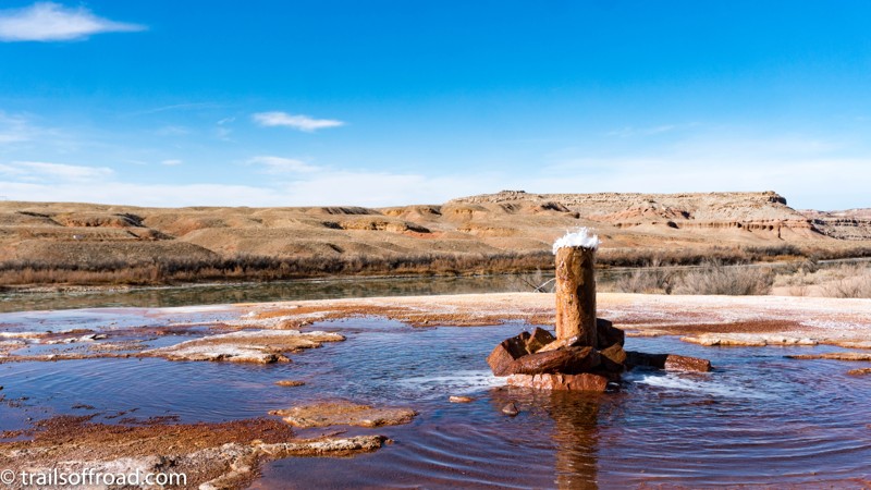
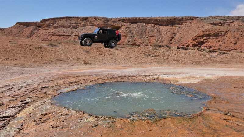
Crystal Geyser is a popular destination for off-roaders in Moab and Green River, Utah. Located only a few miles Southeast of Green River, Utah, Crystal Geyser is an example of a cold-water, carbon dioxide driven geyser. Geothermal activity is not involved in the geyser’s eruption. The tangerine, copper, and white colors deposited around the geyser’s base add a vibrant hue to an otherwise gray countryside. Crystal Geyser Road, also known as Little Valley Road, is the easiest and most direct way to the geyser itself. Several 4x4 trails meander through the rugged country between Moab and Green River and terminate at this very spot. One route, which is used during Moab’s Easter Jeep Safari, is called the Crystal Geyser Jeep Route. If you chose another route to the geyser, Crystal Geyser Road is the easiest way to depart the area.
Tusher Tunnel
Tusher Tunnel is one of those offroad trails around Moab, Utah, that you need to drive at least once. It will provide an interesting side excursion to your already packed list of must-do trails. It leads to a unique geological feature, a naturally formed tunnel 83 feet long created by water seeping through a crack that dissolved away the rock when it reached a more complex layer of stone. As you walk through the tunnel, it feels like a transformative event as you get to the other side, and your eyes lay sight on an entirely new landscape.
Widow Maker
Widow Maker is a 1.3-mile-long optional spur route on the north end of the Metal Masher trail in Moab, Utah. The main feature of this spur is a steep and slick 10-foot vertical waterfall climb with no bypass. This difficult and technical obstacle requires a high degree of skill and precision to navigate successfully. The wall is known as "Widow Maker" because of the difficulty of getting over it and the high potential for rollover. This trail is not recommended for novice drivers or those with less capable vehicles. Additionally, short-wheelbase vehicles will find this obstacle exceptionally difficult to conquer. Large tires, dual lockers, plenty of horsepower, and a longer wheelbase will help you immensely.
Baby Lions Back
Baby Lions Back is a quick must-do side trip when driving Hell's Revenge or Fins and Things. The short drive takes 15 minutes or less and provides a thrill that you will remember for a long time. It is a one-way trail. Going up is not the issue, but coming down is very steep and ends in a pool of water that forms after rains or snow melt. The pool can be well above your vehicle's fording capacity. Exiting, you drive through one of the many designated campgrounds in the Sand Flats Recreation Area.
Crystal Geyser Jeep Trail
Crystal Geyser Jeep Trail is a trip through rural Utah's rugged desert country. This trail defines the term hitting the dusty trail. Layered multi-colored hills and boulder-lined cliffs surround this road. Considered the easy part of the famous Easter Jeep Safari Crystal Geyser route, this trail has unique desert views and multi-layered pinnacles of dirt that look like children's sand art. The area is rugged, isolated, and unpopulated, helping protect and repopulate the region's rare Desert Big Horn Sheep and Pronghorns.
Tukuhnikivatz Arch
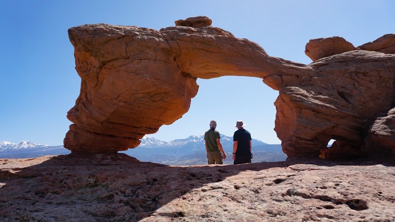
In Moab, The La Sal Mountains are usually in view and seemingly towering out of the desert. With its triangular sides, Mount Tukuhnikivatz is the most famed peak of the La Sal's and grabs most of the attention. This offroad trail takes you to the appropriately named "Tukuhnikivatz Arch," which perfectly frames the famous mountain. While there is no easy way to pronounce the name, it is said to mean "where the sun sets last" in a native language.
Box Car Loop
Fins and Things - Alternate Route (The Wall)
Yellow Cat Road
Bride Canyon
Mill Canyon - Tusher Road
Coyote Canyon
Duma Point Road
Are you looking for an oasis in the desert? How about welcoming shade and a flowing creek in the middle of Utah's red desert? Dripping Springs is the start of a riparian beltway stretching to the banks of the Green River. The dense trees and vegetation thriving within Ten Mile Canyon are a hiker and bird watcher's paradise. In the winter, look for predator birds nesting within the nooks of the cliff walls. The shade under the cottonwood trees in the summer is a welcome reprieve. Gold-colored fall leaves create a vibrant contrast to the surrounding rock formations. When combined with other nearby trails, Duma Point Road adds a unique cooling break to an otherwise hot day in the high desert.
Merrimac and Monitor Butte Viewpoint
Situated on the way to Canyonlands Island in the Sky District and Deadhorse State Park, this offroad trail is hidden amidst the paved and improved tourist areas directly off Highway 313. Named after the famous Merrimac and Monitor Civil War-era ironclads, it makes for a quick side trip when wheeling other trails in the Moab area. While not the most amazing trail, it takes you to a more up-close and personal view of Merrimac and Monitor Buttes and gives you a good bird's-eye view down into Seven Mile Canyon. It is perfect for the person looking to get used to driving offroad before tackling the more challenging trails in the area.
Trail Canyon (Dome Plateau)
Traveling through the wide, highlands of its namesake, Trail Canyon takes users across the top of the Highlands before quickly dropping down into a rugged and dense tree-lined drained. In either direction, this section of the iconic Dome Plateau Loop adds a little difficulty when you plan to visit the Dome Plateau Overlook. This route also offers access to several lesser-known overlooks of the canyon and the Colorado River.
Bartlett Flat
Take a leisurely scenic tour along one of the lesser-known trails in the region. Bartlett Flat is an excellent alternative to the more congested trails within the area. The trail easily travels below a towering red cliff before zigzagging through the scattered rock formations that dot the valley. You'll roll through long stretches of bright red sand and across long, solid rock slabs. For the cautious traveler or less experienced rock crawler, connecting this with Bartlett Overlook is a fun day and an ideal way to experience Moab without all the risks of challenging obstacles.
Dee Pass
Four-wheeling on the moon. That's how traversing this rugged, but oddly serene Utah desert trail feels. The different layers of colored dirt create a kaleidoscope of colors. The ground is virtually void of plant life, yet the landscape is alive with color. Dee Pass transports you over numerous colorful and rocky hills with unique panoramas. The La Sal Mountains create a perfect backdrop as you weave through the maze of balance rocks and narrow ledges. Dee Pass is not your typical Moab trail but part of the Easter Jeep Safari Crystal Geyser route.
Mineral Point Road to Spring Canyon Bottom Road
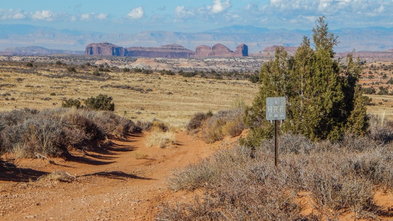
The iconic Hell Roaring Rim (HRR) route has become popular. Known as a family-friendly trail with spectacular views of the desert, this portion of HRR challenges even the most seasoned wheelers. Rocky ledges are overly abundant along this slow, bumpy traverse. You create the iconic HRR route and an all-day scenic adventure by connecting with the Mineral Point and Mineral Point Return via Hell Roaring trails. You'll wind through a diverse and well-preserved desert landscape with a hike to Tibbetts Arch and endless views of the canyons and distant mountains.
Pole Canyon Rim
With birdseye views 1,200 feet above the Colorado River, Pole Canyon Rim is an amazingly scenic in-and-out trail that leads to several overlooks. Beginning and ending on Entrada Bluffs, the trail starts as a fairly easy dirt and slickrock track passing Mule Shoe and Pole Canyon, with several campsites overlooking this canyon. As you continue south, the road becomes rockier and rougher, encountering small ledges less than 10 inches. A few miles in, the trail intersects with Powerpole Rim, where you can continue along the moderate and rough route or take a much harder Powerpole route to the rim overlooks. Eventually, the trail turns sharply and heads northwest, forking one more time. The southernmost fork leads to a rim-side overlook high above the Colorado River, and the northmost fork leads to a plateau overlook with 360-degree views. This northwest stretch of trail is quite narrow as it weaves through thick brush, and pinstriping is likely. There is plenty of opportunity to camp at the end of both fingers and amazing views in all directions.
This trail is suitable for any high clearance 4x4 or AWD vehicle. Low-range will likely not be used during your travels, but airing down is highly encouraged to ease in comfort of the ride.
Secret Spire
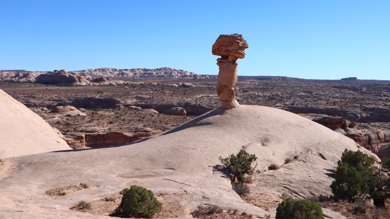
Part of an Easter Jeep Safari route, Secret Spire is a short, scenic drive across sandy two-track and slickrock on the mesa between Hellroaring and Spring Canyons. It rolls over small sandstone ledges that flex suspension and lightly test traction while staying beginner and stock-friendly. What it lacks in difficulty, it makes up for in scenery and geology, with flowing Navajo sandstone, sculpted hoodoos, and the namesake mushroom-shaped spire perched on a smooth dome at the halfway point.
Barney's Overlook
Barney's Overlook is a spur trail off the northeast portion of the Poison Spider loop that takes you to an epic campsite behind Pig Rock with an incredible bird's eye view of the downtown Moab Valley. The road to the two viewpoints along the cliff edge starts as a sandy trail but quickly transitions to a rough, slow, and rocky track across many small, jagged, slickrock ledges. Camping at the end is exposed to the wind depending on direction, but the ground is level. A few soft sandy spots will make for a great floor bottom for a tent.
This trail is suitable for any high clearance 4x4.
Dark Canyon Lake Road
Dark Canyon Lake Road is a beautiful and leisurely cruise through dense forest and towering mountain peaks over 12,000 feet. The trail connects Two-Mile Road and Geyser Pass on a 12.8-mile gravel and hard-packed dirt road winding through a scenic pass. During winter months, Geyser Pass Road can be closed, and Dark Canyon Lake Road may be impassable. Along the way, a high clearance trail leads down to Dark Canyon Lake, a must-stop. There is a turn-around parking area for a few vehicles at the lake. Most of the shoreline is private, but there is a small area to get your toes wet and enjoy a mountain lake view. Camping is relatively abundant along the route. There are numerous primitive campsites on the 4x4 side trails, or you can camp at one of the organized campgrounds in the area.
Pyramid Butte
From Potash Road, Pyramid Butte travels to the edge of the Colorado River, where you can see across to Chicken Corners. The road is primarily soft dirt and would be difficult in wet weather due to mud. A few patches of rocky soil are filled with goofball to baseball-sized rocks. Interestingly, patches of prickly pear cacti and sand dunes are built up against its namesake, Pyramid Butte. No camping is permitted.
10 Mile Point
Take a beautiful journey out to one of Moab's most breathtaking overlooks. 10 Mile Point starts as a maintained graded dirt road but ends on the rim, 400 feet above the Green River. The further you travel on this trail, the rougher it gets. There are several very bumpy sections, and towards the end, there is mild "rock crawling." You will need high clearance and possibly 4x4 for the soft sand or if you become high centered on a rock. This area is remote and not very busy; go over-prepared—plenty of free camping along this route.
Taylor Canyon Rim
Taylor Canyon Rim is a reasonably mellow trail on the border of Canyonlands National Park in Utah’s high desert. This dirt trail offers a diverse terrain that used to end at a rewarding overlook of Taylor Canyon, but closures in 2023 have cut the trail short. The trail runs along a sandy plateau with occasional rocky inclines. It’s said that on a clear day, it’s possible to see as far as the Henry Mountains to the west. This 4x4 trail provides access to the quiet backcountry and little-used campsites. What’s that you hear? Sweet silence. Make sure to pack for the unexpected, as you are not likely to see much company.
Highlands Road
While Highlands Road may not be a "destination trail," you'll likely have to use this easy trail to visit the popular Dome Plateau Overlook. Winding across the Highlands of the Dome Plateau, the road travels past colorful sandstone cliffs and sprawling meadows with distant views of the La Sal Mountains. Numerous 4x4 trails branch off this county road, leading to overlooks, log cabins, and other hidden gems.
Taylor Canyon
Fins and Things Alternate (Fin)
One of the many options on Fins and Things, this alternate track ramps up the excitement with a tricky descent down a razor-edge fin. Suitable for experienced drivers with capable vehicles and should not be attempted in slippery conditions.
Escalator
Escalator is a famous and very challenging optional route along the southwest end of Hell's Revenge Trail. As the name implies, Escalator is an extremely steep slickrock climb that makes its way through a series of deep potholes, each higher on the hill than the previous. This trail is extremely off-camber and leans your vehicle to such extreme angles that it is common to see vehicles blowing white smoke out of the tailpipe due to oil burning in the manifold.
This obstacle requires perfect tire placement. Just an inch offline can be the difference between conquering the obstacle or flopping your vehicle on its side.
Escalator is only recommended for experienced off-road enthusiasts with well-equipped off-road vehicles. Lockers are required, and a winch is recommended in case of recovery. Vehicles with hard tops are not recommended due to the extreme angles and the high risk of top damage.
Squaw Park (Dome Plateau)
Part of the Dome Plateau Loop, Squaw Park is a leisurely scenic tour across tall grass meadows and towering sandstone cliffs with multiple caves to explore. Cave Spring is a unique natural feature where a natural spring drips out of the cave walls, creating a colorful oasis within the cliff wall. You'll want to plan extra time to hike up into the caves to see how far they go!
Rough Canyon
Hell's Alternate
Hell's Alternate, a designated route within Sand Flats Recreation Area, bypasses the two large fins along the first mile of the main Hell's Revenge 4x4 Trail. This trail is primarily used by search and rescue but is open to public travel. Hell's Alternate offers unique scenery and one minor, optional challenge, a short hill climb with a sharp 31-degree angle. Hell's Alternate crosses Hell's Revenge at the one-mile mark and continues to a viewpoint along the edge of Abyss Canyon before finally rejoining Hell's Revenge just before the Staircase Bypass.
This trail is suitable for any stock, high clearance 4x4.
Big Draw Trail
Big Draw Road, named after the nearby Big Draw Wash that flows into Taylor Canyon, is an easy 4WD road that travels through the BLM desert to the northern edge of Canyonlands National Park. At the trail's end lies the rocky cliffs looking deep into the Taylor Canyon below. This trail takes you through several desert terrains, and you can experience sand, dirt, and rock surfaces. Along the way, you can see Beehive Butte, a rock structure that looks like the state symbol for the State of Utah. Not heavily traveled, the Big Draw Road can be a nice escape from the crowds to see the stunning views Mother Nature created for you to enjoy.
Geyser Pass
Quickly climbing into the La Sal Mountains, Geyser Pass is a quick way to escape the summer heat. This easy 7.8-mile gravel road zigzags up switchbacks before ending in the pine trees at over 10,000 feet at Geyser Pass. The trail can be completed in 2WD and passenger cars in dry conditions. While climbing up, multiple pull-off-type dispersed campsites have expansive views across the desert below. Connecting with Dry Canyon Lake and La Sal Pass trails creates a wonderful 4x4 day run into the mountains.
Ruby Ranch Road
Quickly traveling from the busy interstate, Ruby Ranch Road is your northern gateway into the unique desert landscape and network of trails leading south to Moab, Utah. Whether you're going to the dunes for the day or staying for a couple of weeks, Ruby Ranch has abundant free camping for groups or solo explorers looking for a spot to set up basecamp. With easy access to the small town of Green River, it's convenient, the area is less crowded, and the extensive trail network will keep you busy for days.
Surprise Overlook
Surprise Overlook near Moab is an excellent extension of your day if you are exploring Gemini Bridges, Little Canyon, or Bull Canyon. The trail is very short, with fantastic scenery in the immediate desert landscape and views of the La Sal Mountains in the distance. The trail's end treats you to a breathtaking view deep into Day Canyon. The trail is appropriately named because as you drive it, you have no idea of the view of the hidden Day Canyon. It is quite the surprise!
Mat Martin Point
Mat Martin Point is one of the most scenic yet obscure and rarely visited Jeep trails in Moab. It starts at an intersection where the Porcupine Rim safari trail ends and a mountain bike trail continues west. Mat Martin Point heads north and leads to five different branches and overlooks of Castle Valley. Most people who drive Porcupine Rim either don't realize this is a legal trail or are so worn out from its relentless bumps they just turn around where the Mat Martin Point trail begins. It takes a minimum of 2 hours to reach the beginning of the Mat Martin Point trail from Sand Flats Road, so it's best to allocate a full day to explore this trail. Due to its remoteness, you will almost certainly have the whole area to yourself.
The trail is slightly less difficult than Porcupine Rim, with no major obstacles, but there are a few moderate ledges and shelf road sections. The most difficult section is where the trail crosses a small canyon in the middle of a SITLA parcel about halfway out to the point, where there are a series of ledges on a shelf road descending into the canyon. While the main route out to the point is fairly distinct, there are a couple of places where route finding can be difficult. The two overlook spurs to the northwest have become overgrown to the point where they are almost non-existent, though they can still be followed on the ground if you look carefully. Be sure to follow the GPS track closely to stay on the legal trail.
The northeastern overlook is by far the best overlook, as it provides spectacular views of the La Sal Mountains straight up Castle Valley to the south and Fisher Towers to the east along the Colorado River. The north overlook is also worth visiting, with excellent views across the Colorado River canyon to Dry Mesa and Arches National Park, along with two arches in the Windows area clearly visible on the horizon. The pair of overlooks to the northwest are less impressive as both spurs dead-end on hilltops in the middle of the mesa, quite a distance from the rim itself or any expansive views. Getting there requires driving a sandy trail that is so overgrown with small clumps of sagebrush it is barely visible, and the payoff isn't worth the bumpy drive over all that sagebrush.
While the overlooks at the end of the point would make excellent campsites, camping is unfortunately prohibited on all BLM land along this trail. Camping is allowed on the SITLA parcel in the middle of the trail, but there are no existing campsites there. The closest established camping is either in the campgrounds in the Sand Flats Recreation Area or dispersed camping up Sand Flats Road in the Manti-La Sal National Forest.
Adobe Mesa
Adobe Mesa is a lesser-known but highly scenic trail in the highlands above Moab. It is located on the mesa that separates Castle Valley from Professor Valley and is particularly known for the majestic overlook of Castleton Tower from the western end of the mesa. The trail starts from the La Sal Loop Road in the Manti-La Sal National Forest and crosses onto BLM land once out on the mesa. It initially winds through a valley with a section of off-camber shelf road before coming out onto the flat mesa. Near the end of the mesa, it splits into two branches that each go to a different overlook on the rim. The western branch leads to an overlook of Castleton Tower and is the more difficult of the two branches. The northern branch is the easiest of the two and leads to another overlook of Professor Valley on the rim, where you will also find an excellent campsite. While this overlook isn't quite as spectacular as the western overlook, it is still worth checking out. The entire mesa is open to dispersed camping, and several campsites can be found both near the beginning and ends of the trail.
Adobe Mesa's overall difficulty is moderate. The road surface changes from rutted dirt near the beginning to a mixture of sand and slickrock ledges further out. The western branch is the most difficult, with a series of rock ledges that will challenge stock vehicles.
Tub Canyon (Dome Plateau)
Traveling along the northwest reaches of its namesake, Tub Canyon is a moderate challenge traversing trees and a scenic prairie-like landscape. Part of the much larger Dome Plateau Loop, this trail offers glimpses of red sandstone buttes poking out between the trees and tall, blowing grass. Although this trail is impossible to run as a stand-alone trail, combined with the other Dome Plateau sections, it creates a challenging and incredibly scenic day on the trail. Considered an alternate route to the popular Dome Plateau Overlook, this route adds a small pinch of difficulty for those looking for a bit more excitement.
Dellenbaugh Tunnel
Winter Camp Ridge
Big Indian Road
Easily crossing the flowing meadows, passing Eight Mile Rock, Big Indian Road is 8.3 miles of panoramic splendor. The red rock mounds and La Sal Mountains jut out of the landscape, filling the windshield with contrasting views across the meadow grass. The easy route connects the Anticline Overlook Road and Looking Glass Road. In dry conditions, the road can be completed with high clearance 2WD. There can be soft sand and deep ruts after rainstorms. No camping is found along the route. Camping can be found on the area side trails or at the Hatch Point Campground.
Salt Valley Gorge Road
D1900 - Gemini Bridges to Metal Masher
D1900 is a picturesque shortcut available between Gemini Bridges and Metal Masher in Moab, Utah. The trail begins at Waypoint 11 of Gemini Bridges and ends between Waypoints 3 & 4 of Metal Masher. Although this route may be slightly shorter than the usual one, it's worth taking a break to enjoy the breathtaking panoramic views, which may lengthen your travel time. D1900 is also slightly more challenging than the regular beaten path, with a few small slickrock ledges to navigate.
Hidden Canyon Rim Escape
Hidden Canyon Rim Escape is a great continuation of the Hidden Canyon Overlook trail in the Labyrinth Rims/Gemini Bridges region. Traversing slickrock and steep rocky ascents requires a bit of nerve as you climb away from the flat and smooth. As you approach the peak of the climb, don't forget to look back at the stunning views over the Labyrinth Canyon region and the La Sals mountains towering over Moab.
Gold Mine Road
Hatch Point
Many consider Hatch Point the best overlook campsite in the area, but getting there comes with a price. The 6.4-mile, one-hour, one-way, bumpy ride rewards you with breathtaking views of the Canyonlands and the twisting Colorado River far below. The rocky trail has one short section of 10 to 12-inch vertical ledges requiring high clearance and low-range gearing. Countless little rock ledges require slow speed, 4x4, and durable offroad-type tires. Once at the end, you can choose from a couple of campsites and sit back to enjoy the fantastic views. Prepare for winds. You must bring your firewood. An old vault toilet, picnic table, and rock fire ring are at the circle turn-around.
Hell's Alternate #2
Hell's Alternate #2 is a short, easy, sandy shortcut that can be traveled in either direction, west or east. This trail is the quickest way to reach Escalator, Staircase, and Tip-Over Challenge from the Sand Flats entrance if looking to avoid the hot tubs. Additionally, this route is often used as an early exit route for those that run the northern half of Hell's Revenge and want to return to the entrance parking lot.
This trail is suitable for any high clearance vehicle.
Cordova Canyon Overlook
White Wash Dunes
Although this area is an open OHV area, the track visits all the popular spots around the park to give you a complete experience in one track. You can either follow the track or try to reach the POIs on your own. Either way, you're guaranteed a good time on the dunes! White Wash Dunes is an open OHV area north of Moab, Utah. The BLM has designated this area wide open to off-highway vehicles. Similar to Sand Hollow in St. George, Utah, White Wash Dunes have countless drifting dunes to romp around on. When you're feeling a little more daring, feel free to try your luck climbing the red rocks. Go ahead. You can climb anything you see. As long as it's within this designated area, it's legal.
Thelma and Louise
Many refer to this as Thelma and Louise Point due to the 1991 film "Thelma and Louise." Much of the film was shot above at Dead Horse Point and looking down into this location. The road is comprised of dirt with golfball to baseball-sized rocks, and any vehicle can handle it. Follow the track to ensure you stay on the actual road, as you will see many vehicles driving up the edges, which would be considered "off the trail." Camping is prohibited.
Kokopelli Yellow Jacket Canyon Section
Part of the famed "Kokopelli Route," the Yellow Jacket Canyon section darts between Dome Plateau Upland and Owl Draw, crossing several challenging obstacles. The southwest end of the trail, near Yellow Jacket Canyon, is mainly a sandy trail with great views of the La Sal Mountains. As you work your way northeast, you will encounter several slickrock ledges ranging from 1-2 feet in height, with optional climbs as tall as 3-4 feet. The trail becomes mainly white slickrock through the middle section and traverses a steep, rocky, and ledgy hill climb before leveling out and passing through a low-lying clay area prone to mud pits during wet conditions. The trail traverses one more rocky hill climb with ledges 14" tall before leveling out on its way to Owl Draw. The only viable dispersed campsites are located near Owl Draw, where you can only find a few spots good for 2-3 vehicles.
This trail is best suited for modified vehicles with lifts and larger tires. Long-wheelbase vehicles will find this trail exceptionally challenging due to breakover angles along the ledgy hill climbs.
Robert's Bottom (Triangle Road)
Picture Frame and Balcony Arches
Located south of Moab, about 20ish minutes, Picture Frame and Balcony Arches is part of the popular Behind The Rocks area and offers users amazing scenery, great primitive camping, and opportunities to explore a spiderweb network of numerous side trails. The trail begins off Highway 191 and winds through classic Utah desert landscapes, including sandstone formations, wide-open vistas, and scattered juniper trees. The trail is most accessible on the east end and gets rougher the farther west you travel. While the road isn’t particularly technical, weather conditions like rain can make parts of it more challenging, and it is best suited for high-clearance, 4WD vehicles due to sections of loose sand, rocky terrain, and slickrock. The end of the trail is where the reward is, with both arches situated near opposite corners of a large dome of sandstone that forms a ridge on a small mesa overlooking part of the Behind the Rocks Wilderness. Balcony Arch is located on the southwest corner, above several designated campsites, while Picture Frame Arch is located on the northeast corner. Picture Frame Arch is the more well-known arch and is a large, natural sandstone formation that resembles a picture frame, making it a popular spot for photography.
The first 2 miles of trail do not allow camping, but there are several large staging areas great for airing down or unloading your machines. For the remainder of the trail, primitive camping is only allowed in designated areas marked with a tent symbol sign. Campsites range in size from a single vehicle to large group sites. From tenting and car camping to travel trailers and RVs, there is definitely a spot along this trail for everyone.
7 Up
Known as an exciting mountain bike trail, 7-Up is a short but fun 4.9-mile 4WD track along a portion of the popular bicycle trail. The trail passes below colorful rock cliffs with a hidden natural arch and across sprawling meadows with beautiful backdrops of red buttes. Dropping onto the sandy two-track at the northern trailhead, known as Old Arths Road, you are advised of the no camping along this section of the trail, but you are allowed to camp at the southern end of the route. The trail is ideal for stock 4x4s with high ground clearance and durable offroad tires. Several rocky ledges 8 to 10 inches tall will high-center long and low vehicles.
Professor Valley Rim
This short, 1.6-mile dead-end spur travels along the southwest end of Dome Plateau to a rim nearly 2,000 feet above Professor Valley. For over a half mile, you will ride the edge of the rim with astonishing panoramic views of the La Sal Mountains, Parriott Mesa, Castleton Tower, the Priest and Nuns rock formations, as well as the Colorado River. The drive is fairly easy in a high clearance 4WD vehicle, but users can expect to encounter 6-8" rocks and ledges along the way, tight brush that is likely to scratch your paint, and one loose hillclimb that might require low range. The trail ends at a small roundabout that can accommodate four to six vehicles and offers plenty of level, open ground for camping on top of patches of slickrock. This trail is suitable for any high clearance vehicle, but not recommended for large groups due to the small size of the ending turnaround.
Salt Wash Road
Salt Wash Road is a gateway to a mild but memorable painted desert and several popular 4x4 trails. A portion of the trail is part of the Easter Jeep Safari "Crystal Geyser" route and links several other 4WD trails between Moab and Green River, Utah. The road is easy and uneventful. The surrounding rock formations and multi-layered cliffs create beautiful panoramas. Deposits of bright white colors mixed into the red rocks create "cake layers" of colored sandstone. Lion's Head Rock at Waypoint 6 is a unique formation resembling a male lion with a mane of red rocks.
Upper Porcupine Rim
The Upper Porcupine Rim trail is an extremely scenic forest road that is also part of the Kokopelli Trail. It connects Sand Flats Road and the La Sal Loop Road, following the upper portion of Porcupine Rim with spectacular views of the La Sal Mountains and Castle Valley. It is best driven east to west, so the views along the rim are on the driver's side. It is also heavily used by bikes to access the Upper Porcupine Singletrack (UPS) trail, which is part of the Whole Enchilada bike trail.
The hardest part of the road is near the beginning, where it climbs steeply up to the rim from the intersection with Sand Flats Road. This section is heavily rutted dirt interspersed with short sections of slickrock, which would likely be impassable in wet conditions as it looks like it can get extremely muddy. Once on top of the mesa, the trail levels out and becomes smoother, passing through a wide-open flat meadow, which would be great for camping. About halfway into the trail, it reaches the rim of the mesa at an overlook with amazing views of Castle Valley to the west and Green Mountain and Mount Waas to the east. From here, the road follows along the rim for about a mile and a half before turning inland and intersecting the La Sal Loop Road next to the Jimmy Keen trailhead.
Though there are no obvious established campsites along this road, dispersed camping is allowed per the MVUM, and the meadow just before reaching the rim would make for a gorgeous location for camping. There are also multiple established campsites along Sand Flats Road near the beginning of this trail.
Radio Tower Bluff Road
Mineral Point North Return via Hellroaring Rim
Hell Roaring Rim (HRR) is quietly becoming an iconic route to travel in Moab. Considered a "family route," it's ideal for stock 4x4s and beginner drivers wanting a bit of a challenge but "nothing crazy." This portion of the HRR route is a scenic and fun way to cut your teeth on the rocks and take in spectacular views of the entire region from high up on a mesa. You create the iconic HRR route and an all-day scenic adventure by including the Mineral Point and Mineral Point to Spring Canyon Bottom Road trails. You'll wind through a diverse and well-preserved desert landscape with hidden historic markers and endless views of the canyons and distant mountains.
Salt Wash Trail
Otherworldly, barren, and desolate describe the foreboding landscape along Salt Wash Trail. The trail winds through and across rugged canyons with colorfully striped cinder cones dotting the horizon. This rugged but oddly beautiful Utah desert is frequented by geologists and archaeologists seeking rare earth minerals and ancient fossils. Salt Wash Trail has enough 4x4 challenges to keep things exciting and a wild mix of terrain, an excellent alternative to the easier trails in the area.
Airport Hill
Airport Hill is a small section of the 3D Jeep Safari Route starting near the Mill Canyon Trailhead. The trail is known for its steep, rocky hill climb near its eastern end. This hill climb snakes up to the top of a mesa. There's a two-foot rock ledge before the trail levels out with panoramic views of the Labyrinth Rims area and the Canyonlands Field Airport. The trail continues west, trekking along exposed piles of slickrock and soft sand before ending at an intersection with Sevenmile Rim within Tusher Canyon.
This trail is suitable for any high clearance 4x4.
There is no camping along this trail. Camping in this area is limited to designated dispersed spots only. Several designated sites are located along Cotton Mine Road.
Hunter Canyon
Wedged between two iconic Moab trails and skirting the edge of the Behind The Rocks Wilderness Study Area, Hunter Canyon somehow maintains a low profile while serving as the perfect encore to its neighboring routes. It lures you in with a few optional challenges, but just as you get comfortable and drop your guard, the canyon flips the script, throwing down a tight gauntlet of steep climbs, large boulders, and stacked ledges. It’s shorter and easier than its legendary northern neighbor, but make no mistake: Hunter Canyon is a rock-crawling trail that knows how to throw down.
Brown's Hole
Located south of Moab, on the edge of the Manti-La Sal National Forest, Brown's Hole is an easy 5.3-mile trail cutting through a scenic canyon with private residence. The western portion of the trail is a graded gravel road with a couple of campsites. They are easily accessible and have room for a couple of vehicles with tents. The trail becomes rougher once you enter Browns Hole, a canyon with a flowing creek. There can be deep muddy ruts and potholes while passing the various rustic ranches. The eastern portion is a lovely forest road along a narrow ledge above the creek. The complete trail can be completed in a stock high clearance 4x4 vehicle.
Rainbow Rim
Driving out to the point and walking up to the edge of Rainbow Rim is breathtaking. The adrenaline rush of slowly approaching the edge of the 400-foot vertical cliff is something you will never forget. Countless overlooks in the Moab area require quite a bit of effort to reach either on foot or in a Jeep. Rainbow Rim is an excellent way for the family or a group to experience the feeling of walking up to a breathtaking overlook without committing to an arduous all-day beat down. This memorable trail has no rock crawling or challenging obstacles. Instead, the mild mix of Moab-type terrain entertains even the seasoned wheeler.
White Knuckle Bypass
Salt Washington North
347 and 166
Buttes and Towers to Seven Mile Rim Cutoff
Slaughter Flats 78
Traveling up into to foothills of the Manti-La Sal Mountains, Slaughter Flats is a moderate scenic tour past old mines and sprawling panoramas of the mountain peaks. From the northern trailhead, the trail travels along narrow rocky ledges with countless dead-end off-shoots to old mine sites. By following the track closely, you'll safely travel past Yellow Circle mines and the relics left behind. You can stop at the old foundation with a chimney and a safe door. The old fenced-off mine entrances and a rusty truck dump are further up the twisting ledges. The trail is ideal for stock 4x4s with high clearance and durable offroad tires. The trail has numerous loose rocky hill climbs that require low-range gearing. The brush is tight, so you will get pinstripes. No camping was found along this route.
Canyon Rim Overlook Trail
If you are looking for epic views and the most amazing campsite, then this trail is for you. Canyon Rim Overlook Trail is about 25 minutes south of Moab. It’s convenient to the world-class trails that Moab has to offer without the crowds. The trail starts on Hatch Point Road and can be easily missed if you’re not paying attention. Although not overly difficult, there are a few spots that require your attention. 4x4 and a higher clearance vehicle are recommended.
Little Grand Wash
Levi Well Road
Levi Well Road is a quick and easy way to access the expansive trails within this area. The trail mixes soft sand and large sandstone slabs poking through the sand. It can be pretty bumpy, but there are not any rock obstacles. Low clearance vehicles may become bogged down and high-centered in the deep sand ruts. Camper vans may want to use another access road. The soft sand may dictate four-wheel drive and lower tire pressures. Camping was fairly limited along this route but not the area in general.
Short Cut Road
Dellenbaugh Tunnel - East Alternate
Dellenbaugh Tunnel Trail is fairly well-known, but what is not so well-known are the alternate four-wheel drive routes that can be combined to either get to the Tunnel or be used as a variation on your way back to Moab or camp. This east alternate offroad trail is fun to drive due to the mix of road surfaces, in addition, it provides an impeccable view of Tombstone Rock for almost the entire route.
Owl Draw Spur
If you want to add extra difficulty and excitement to an already iconic route, Owl Draw Spur is an excellent addition to the Dome Plateau Loop. It's a challenging and twisting ride through a rocky gorge with two big waterfalls. This short route starkly contrasts the other trails on the plateau. It's rugged and in a tight canyon without the sprawling prairie views and sandstone cliffs. Whether you're beginning or ending your plateau tour, leave time for this bonus track.
Red Wash Road
Tusher Canyon
Trin Alcove East
BLM 2340
BLM 2341 is a sandy shortcut trail that makes an excellent "brief" Steel Bender Loop, as it cuts down the middle of the larger, main Steel Bender Loop. The trail offers a few mild challenges as you make your way through a mix of sand hills, rocky climbs, and slickrock ledges. This is a lesser-used trail with spectacular views in all directions. The trail is generally 1 to 1.5 vehicles wide, with plenty of pull-out opportunities to pass oncoming traffic. BLM 2341 trail is suitable for any high clearance 4x4 vehicle with low gearing.
Although dispersed camping is allowed, there are no suitable or existing campsites along this trail.
Hiccup Hills
Hiccup Hills is one of those hidden gems in this little-used area of north Moab. The views are massive, and the trail is quite exciting. The trail has a few rock-crawling obstacles and a difficult hill that will push the limits of stock vehicles. The Hiccup Hill climb is short but pretty intimidating. The ground is loose dirt, and large boulders litter the slope before you reach the top, where a cattle gate immediately stops you. A locker or two may be needed on this climb to prevent rolling down into the canyon. No camping was found along this rugged route.
West Valley City Road
Above Sevenmile Canyon
While exploring the Courthouse Pasture region, take this short out-and-back trail leading to a scenic overlook. The out-and-back spur is high above the sweeping s-turns along Highway 313. The trail is easy enough for most stock 4x4s with high clearance and durable tires. There are 6-8 inch rock ledges, loose off-chamber sections, and deep sand. Camping is not allowed in the Courthouse Pasture area. There is camping on trails to the north or at one of the established campgrounds along Highway 313.
Confluence Overlook
This short 3+ mile side route takes you to within a .5 mile hike of the Green River and Colorado River Confluence Overlook. It's an exceptional viewpoint of the two rivers that separate the three districts of Canyonlands. The trail is mostly smooth dirt with a few short sections of Slickrock that protrude just enough to keep this trail interesting. There are no named obstacles, but a narrow section with a Slickrock fin will require the correct line as it offers no bypass. A picnic table and pit toilet are in the parking area at the trail's end, which makes for a nice lunch stop.
Miners Basin
This little gem sits just north of the summit of the La Sal Loop out of Moab and takes you up into the true alpine timber and snowpack of the La Sal mountains and to an old west mining ruin that includes an abandoned US Post Office and a small alpine lake. Excellent hiking and views are to be found along the way, and also a roadside overlanding campsite or two. There is some scree, so a 4x4 is ideal, but you'll make it in a 2WD under good conditions. There will be snow up here except in midsummer.
Staircase Bypass
This easy slickrock route is a quarter-mile bypass to the Staircase obstacle on Hell's Revenge. This is a one-way trail, traveling from west to east, starting near the Tip-over Challenge at Waypoint 35 of Hell's Revenge and ending at Waypoint 16. There are no significant obstacles along this route, just a couple of small, less than 6-inch ledges to contend with. It is actually harder to access this little spur than it is to drive it. This section of trail is suitable for any vehicle, but accessing it will require a high clearance 4WD vehicle.
Bird's View
With a Bird's Eye view of the Bird's Eye and Crow's Head Spires, D1234 is an easy way to get to a fantastic overlook of Shafer Canyon and beyond. The trail is perfect for beginners in capable stock 4x4s looking to avoid the more difficult rock crawling trails leading to overlooks. There are vertical rock steps and blind ledges 6-8" tall to navigate. The overlook parking area has been recently updated with fencing and signage for the overlook access. Camping is prohibited on this route, but cliff-edge camping is found on trails D1230 and D1227.
Bunny Hop
Starting down Bunny Hop from Blue Hills Road, look for the healthy jackrabbit population in this area. They hop around the rocks, seemingly oblivious to the loud vehicles climbing around the same stones. The trail is a moderate 4x4 challenge with several rocky ledge climbs that may high center low clearance vehicles. The trail is a great "ice-breaker" for beginners to the four-wheeling world. The views from the butte are vast and colorful, especially in the late afternoon sun. There is one campsite at the western trailhead.
Behind the Rocks Spur
Spring Canyon North Overlooks
D2662
This semi-maintained trail off Spring Canyon Point is an easy addition while running trails in this area. The toughest sections are rocky inclines, but all should be passable with clearance in good weather.
Salt Valley Gorge Road Cutoff
Hell's Revenge Sand Flats Exit
This is the exit route for those that do not want to run the entire Hell's Revenge loop or need to return to the parking lot within Sand Flats Recreation Area. Running parallel to the entrance fin along a lower fin, this simple 220-yard-long one-way trail provides one last spectacular view of the La Sal Mountains before ending at the Sand Flats entrance station. This trail is suitable for any high clearance vehicle.
Power Pole Rim
Power Pole Rim is a multi-section spur off Pole Canyon Rim and leads to a fantastic cliffside overlook high above Hittle Bottom and the Colorado River. The road starts several miles into Pole Canyon Rim before branching off for a short stint, then crossing over Pole Canyon Rim again before dead-ending at the overlook. For the most part, this trail is a fairly easy, rocky, and rough road. This includes the second section of the road that leads to the overlook. However, the first section of the road between the two Pole Canyon Rim intersections is a nasty 30-yard hill climb on an exposed ridge, covered in loose dirt and riddled with multiple 18-inch ledges. This hill requires a lifted vehicle with larger tires. A spotter is recommended, and a good line choice is required.
The trail ends with several campsites along the rim next to the power poles that drop 1,200 feet to the valley floor next to the river. This is a great place to take in a sunset and enjoy the views.
Mineral Canyon Road
The steep rock canyon walls and surrounding desert landscapes that line Mineral Canyon Road are reminiscent of panoramic images from the Old Wild West. This is the natural elegance of Utah at its best. Starting near the end of Mineral Bottom Road, Mineral Canyon Road follows this gorgeous canyon for 1.6 miles. Although evidence of mining activity is sparse, Mineral Canyon was once the site of uranium mines in the 1950s. Along the Green River near the trailhead of Mineral Canyon Road is a small sandy airstrip occasionally used by backcountry pilots seeking adventure.
Heavy rain and high water from the nearby Green River can limit access to the Mineral Canyon. Be prepared for the potential of extreme backcountry conditions.
Behind the Rocks Trail Cutoff
Providing excellent views of the Behind the Rocks Wilderness Study area, this road is an alternate route to Tukuhnikivatz Arch. You can also use it to bypass the Guardian on Behind the Rocks Trail. Comprised of dirt and protruding rock, it is a very rough drive. While being rough, there are no notable obstacles. Camping is prohibited.
Pipeline Road to Cordova Canyon
Along The River
Long Valley
D1511
BLM 2341
BLM 2341 is a short spur road off of the Steel Bender loop. The trail travels over soft sand and sections of slickrock. The road is bumpy in places but very easy and can be completed by any high clearance vehicle. The trail is only one-vehicle wide the entire way, but there are many places to pull off and pass oncoming traffic. The trail offers fantastic views of the La Sal Mountains and passes unique rock formations.
Although dispersed camping is allowed, there are no suitable or existing campsites along this trail.
10 Mile Canyon Overlook
Lost Springs Road
D1227
With breathtaking views above Shafer Canyon, camping at the end of D1227 is a memorable experience. The 1.1-mile out-and-back trail has moderate challenges that require extra ground clearance, 4x4, and durable offroad-type tires. The small rocky ledges can easily highcenter passenger cars and long wheelbase camper vans. The turns through the trees are tight to reach the endpoint on the rim. Camping can be windy, but it's probably worth it.
West Arths Rim
West Arths Rim is a scenic and rarely visited side spur off the Metal Masher Jeep Safari trail, which leads out to a spectacular scenic overlook looking down on Highway 313 and across to Seven Mile Rim. Prior to the trail closures in 2023, it formed a loop with another road that followed the cliff tops along Arths Rim back around to connect to Metal Masher, but that road was closed. Now, it is just an out-and-back spur accessed from the optional Widow Maker branch of Metal Masher. This route splits off before the actual Widow Maker Hill and the portion of the Widow Maker trail between it and the eastern junction with Metal Masher is easy, so any vehicle can reach it. While the trail is mostly rocky with broken slickrock, there are no real obstacles, and any 4x4 should be able to drive it.
The trail starts at an unmarked and easy to miss intersection in a grassy meadow that may be overgrown. It then descends into and crosses a small valley before climbing up the ridge to Arths Rim. The final climb to the edge of the rim crosses a large slickrock slab with scraped aside rocks marking the path. The road reaches the rim at a spectacular overlook marked with a large rock cairn. This is the main attraction of the trail, with views looking out the opening of Seven Mile Canyon along Highway 313 and to the east up Box Canyon and across to Heatwave Butte.
The road actually continues a short distance past the main overlook, turning back to the west, where it dead-ends at a flat parking area. You can park here and then walk a short distance out to the end of the point, which has amazing views up and down Seven Mile Canyon and some fun rock scrambling. While this spot would make a great campsite, camping is prohibited along most of this trail except near the beginning at the junction with the Widow Maker trail.
Lower Salt Wash
Upper Hunter Rim
This is a scenic, moderate alternative route to the middle section of the Behind the Rocks trail, which follows the upper rim of Hunter Canyon. It offers excellent views across the canyon into the Behind the Rocks Wilderness Study area and great dispersed campsites.
The route starts just after climbing out of the wash with the "High Dive" obstacle on the Behind the Rocks trail, with a right turn on a lesser-used track that winds around to the north to the rim of Hunter Canyon. From there, it follows the canyon rim for a while before dead-ending at a spectacular viewpoint/campsite on a point sandwiched between the canyon rim and a tall slickrock fin. Doubling back from there and turning right, you pass through a flat area at the base of more slickrock fins with additional dispersed camping opportunities. Turn right again to follow an easy sandy track that parallels the Behind the Rocks trail across a state trust land parcel, skirting the base of some sandstone cliffs before ultimately rejoining the Behind the Rocks trail just before Hummer Hill.
This route receives significantly less traffic than the main Behind the Rocks trail, and is much easier, with only a few moderate rock-ledge obstacles. It can be an easier bypass to the Vertical Ledges obstacle at Waypoint 16 of Behind the Rocks. Multiple dispersed campsites can be found near the trail's northernmost point, though the one at the main viewpoint is very exposed to wind. More sheltered campsites can be found amid the tangle of short spur trails further back from the rim.
Black Ridge 4714
Black Ridge is a moderate connector trail with sprawling views of the Manti-La Sal Mountains. This mild 4x4 trail is perfect for the adventurous type seeking lesser-used paths. Connecting with Slaughter Flats 78 creates a scenic and historical tour of this little-used area south of Moab, Utah. The trail is a mix of dirt and graded rock, with a few mild hills. Portions of the trail are slow going and bumpy, and the brush will become very tight once you climb into the trees. No established primitive campsites were found along this route, but the other connecting trails offer sites with mountain views.
Tusher Road
Tusher Road, an easy C-shaped connector, starts and ends along Tusher Canyon. The trail's southern half is a small section of the 3D Jeep Safari Route and passes trail D2482. The trail has long, soft sandy sections with small softball-sized rocks peppered randomly throughout. The only obstacle along the trail is a short, jagged rock ledge with multiple lines, including a smooth drive over two tabletop-sized sandstone slabs.
The trail is suitable for any high clearance vehicle.
There is no camping along this trail. Camping in this area is limited to designated dispersed spots only. Several designated sites are located along Cotton Mine Road.
D1700
D1700 is a short, straight-through spur road off Long Canyon that leads past a gas well and back to Long Canyon. The road is an easy, hardpacked two-track offering great views of the La Sal Mountains. Camping is not allowed for the first half mile along the western end, but no pre-established campsites exist along the remainder of the road. This trail is suitable for any vehicle with decent ground clearance.
West Secret Spire
West Secret Spire runs between Spring Canyon Point and BLM 338 North. The road is unmaintained by the BLM and connects to the network of trails in this area along the Green River. This trail isn't difficult and is a great way to see the scenery in the area while likely not running into anyone.
Taylor Canyon Overlook
D116 is a 1.6-mile dead-end spur road off Mineral Bottom, ending at an incredible overlook of Taylor Canyon and the Canyonlands National Park. The trail passes a cattle grazing area and travels across several dry desert washes. The terrain is a mix of sand and rock, extremely rough and bumpy, with one 10"-12" slickrock ledge you will need to contend with. As you get closer to the trail's end, the sand becomes more widespread and becomes substantially softer and deeper. The cliffside ending is highly scenic, with epic views of Buck Mesa, the Colorado River, Taylor Canyon, and the Taylor Canyon Road. The road has two campsites on the plateau along the drive, with an additional 3-4 campsites near the rim edge, depending on how close you want to squeeze to your neighbor. The campsites are best for vehicle camping, rooftop tents, ground tents, and small offroad trails. Large tents will have a hard time finding usable space.
The rough and rocky terrain makes using a high clearance, 4WD vehicle prudent.
Deadman Spring
Deadman Spring provides a diverse driving experience that includes managing slickrock obstacles through stimulating terrain. It is no wonder that it's part of the popular Easter Jeep Safari Route. It can be used as a short half-day trip from town or a more stimulating diversion if traveling Spring Canyon Bottom Road. At the trail's eastern corner is the namesake Deadman Spring, which you can park to investigate on foot for a quick leg stretch. There is limited camping on this route, all of which falls within the acceptable dispersed camping zones set forth by the Moab Field Office. It is suitable for a high-clearance stock SUV with 4-low gearing.
Wind Whistle Rock
Capturing the wind in its deep alcove carved into the sandstone cliff 200' above, Wind Whistle Rock is truly a unique natural wonder. As you travel up this sandy 4x4 two-track, the cliff and the deep hole begin to take shape. You can understand how it got its name using a little imagination. The trail is ideal for beginners with high-clearance 4x4s looking to add a little adventure compared to paved roads. You'll need durable tires and ambition to travel to the end, where you're rewarded with remnants of an old signal tower from the early settlers and fantastic views of the La Sals. There was camping at the end, with room for 2 to 3 vehicles with tents.
Little Mountain
Little Mountain is a very lightly used, difficult 4x4 trail hidden within the colorful hills of central Utah. The trail's challenges and views make for a fun and memorable day of wheeling. The route winds through a rocky canyon with narrow ledges, deep washed-out ruts, and one very rocky hill. You'll need high clearance, 4x4 low range, and durable offroad tires. A locker may be required to climb the rocky ledge hill midway through the trail. There was limited camping found in this rugged desert environment.
Dunes and Cliffs
You'll understand the name by traveling up two red dunes to the cliffs overlooking the Backside of Sevenmile Rim. The western trailhead is on Bartlett Wash Road at Waypoint 16. The sand is soft and off-camber in several spots. 4x4 and lower tire pressure are required. The route makes an excellent addition to connecting Bartlett Flat and more. The route has no rock obstacles. If you bypass the out and back spurs the 4.7-mile track can take as little as 15-20 minutes to complete. No camping was found along the route. The dead-end overlooks are turn-around points.
Fruit Bowl Access Trail
Located off Mineral Bottom, D1168 is a 1.5-mile-long dead-end trail that leads to the Utah mecca of Highline, the Fruit Bowl Highline area. This rutty, rough, and chunky slickrock trail leads past a dozen designated camping areas and ends at a large parking lot with a pit toilet. This popular area plays host to the annual GGBY Highline Festival around Thanksgiving. A short, half-mile hike from the parking lot leads to a cliffside where highliners, base jumpers, and rope swingers enjoy amazing views against the backdrop of Utah's red rock canyons. Camping along the trail is only allowed in designated spots. This trail is best suited for high clearance 4WD vehicles. Airing down is unnecessary but dramatically improves your comfort while driving the trail.
D1585
D1585 is a short, camping spur road off the popular Poison Spider trail near the Pre-Launch Pad obstacle. This easy sandy road travels a quarter mile west of the main trail to a cliff edge high above the Colorado River. The camp spot at the end is a large, relatively flat slab of slickrock that can accommodate several vehicles.
This road is suitable for any high clearance vehicle.
D2678
This spur off Spring Canyon Point has a little difficulty in an otherwise pretty tame area. The pictured rock climb is shortly after the trail leaves Spring Canyon Point and is a rough descent that you must climb on the way back out. At the end of the trail, you can park and continue on foot towards the river and the Keg Spring Bottom Viewpoint.
4718 Manti La Sal
Nestled within the foothills of the Manti-La Sal Mountains, 4718 is a moderate and scenic climb into the pinyon-juniper forest. Used to connect with Slaughter Flats 78, the trail is ideal for stock 4x4s and drivers looking for an adventurous day on the trail. There are no obstacles to mention, but there are long rocky hills with small ledges. The mountain views along the route's northern section are spectacular, but no primitive campsites were found along the trail.
Upper Levi Well
Dubinky Overlook
D1228
D1228 is a vital connector when exploring all the scenic overlooks or looking for the perfect campsite. The trail has a couple of challenges for 4x4 vehicles. There are vertical rock ledges that require low-range gearing and clearance. The challenges are few and ideal for stock-type 4x4 vehicles driven by less experienced drivers. One small campsite with room for a single vehicle sits along the route. Additional camping at the end of the overlook spur trails has fantastic views above Shafer Canyon.
Pritchett Arch Trailhead
This short spur off the Pritchett Canyon trail leads to the hiking trailhead for the majestic Pritchett Arch, which is approximately a half-mile hike away. You can also see Cummings Arch on the way to Pritchett Arch, though it is less impressive as it is more of a skylight than an arch. Pritchett Arch is similar to Corona Arch but larger and without the crowds. Because this area is so remote, you will likely be the only one there.
This road can be accessed without driving the major obstacles of Pritchett Canyon. To reach the start of the trail, come in on Behind the Rocks Road, which is itself a difficult level trail past the end of the Behind the Rocks safari trail. The road to the Pritchett Arch trailhead is mostly an easy sand road. However, there is one large, roughly two-foot ledge on the loop in the parking area at the end that can catch you by surprise when leaving. Though most people would only park along this road for day hiking, the trailhead is in a sheltered area that would also make a good campsite. This trail is suitable for any high clearance vehicle.
Jug Rock Flat
Bobby's Hole Overlook
This easy 0.75-mile trail is a moderate 4x4 trail with tight brush leading to the edge of Bobby's Hole Canyon, where you can see Bobby's Hole, an alcove in the sandstone cliffs. The trail has rock and sandy challenges for stock 4x4s along this twisting trail through the trees. The trail offers unobstructed views of Wind Whistle Rock, a unique natural arch formed on the cliff. No camping is allowed on this route. However, the nearby Wind Whistle Campground has 15 individual campsites and access to a one-mile nature hike.
Trail Canyon Shortcut
Acting as a jumper from Dome Plateau Section 2 to Highlands Road, this entertaining two-mile trail allows users to push the limits of their stock vehicle on a few small rock obstacles. Beginners will enjoy the challenges, while seasoned wheelers will appreciate the break from a normal boring dirt road. Small sections of this trail also allow for a bit more speed, making this a relatively quick trail. No camping is found directly along this trail.
Dubinky Flat
D1190 D1195 Designated Camping
Finding legal camping along Mineral Bottom Road can be confusing. The area has strict camping regulations and designated campsites to help preserve the delicate landscape. Halfway along this 1.2-mile out-and-back trail, there are five designated campsites. Each site is marked with a brown carsonite post. The sites are relatively small, with room for 1-2 vehicles with tents. The ground can be rocky and not very level. The trail to the sites is soft sand with deep ruts before turning to sandstone rocks near the campsites. The trail continues past the designated campsites and dead-ends at a non-descript point in the desert. You can walk a short distance from the campsites for views down into Mineral Canyon. The campsites cannot be reserved and are first come, first served. There are no services or water in these remote camp areas, and you must bring out all human waste. The trail has small rocky ledges and soft washouts that may require 4x4.
Richard's Mountain Spur
Richard's Mountain Spur is a 1.75-mile dead-end spur to an east-facing rim overlooking the Colorado River and the tip of Dome Plateau known as Richard's Mountain. From here, you can see Power Pole Rim and Pole Canyon Rim across the river. This trail is moderate, with a few small rocky patches perfect for beginners and stock vehicles. Camping is available along this spur.
Orange Trail 01
Slaughter Flats 4254
The Slaughter Flats region south of Moab is nestled in the foothills of the Manti-La Sal Mountains. The 4254 National Forest trail crosses sprawling meadows with stunning views of the snow peaked mountains. The camping is limited to a couple of sites, but what excellent campsites they are. Reaching this trail via Slaughter Flats 78 creates a scenic and historic tour of one of the lesser-known areas around Moab, Utah. The area trails are ideal for stock-type 4x4s with high clearance and a driver with a sense of adventure.
D1230
Of the three spur trails leading to the overlooks of Shafer Canyon, D1230 is the easiest to reach and has a couple of primitive campsites to choose from. The trail leads out and back to a magnificent view of the canyons and rock spires below. The trail is a mix of dirt and rock with a couple of spots requiring flexy suspension and high ground clearance. Low-range gearing and durable tires help ensure safe travel to the overlook and camping area. The trail ends in the trees with a couple of rock fire rings dispersed around the area. Please help preserve the area and do not create new campsites. Wood gathering is prohibited, and you must remove all human waste from the area.
Richardson Overlook
Tucked away in a lesser-used part of the Dome Plateau, Richardson Overlook is a short, out-and-back, but rewarding spur trail to an amazing overlook of the Colorado River, Onion Point, and the Richardson Amphitheater. This is a moderate trail with only a few minor challenges. Beginners and stock vehicles will really enjoy these challenges while everyone can appreciate the solitude that this trail provides. One small campsite at the overlook can accommodate 2-3 vehicles, but there are minimal flat spots for tents.
Rustlers Loop
The proper 4x4 portion of the Rustler trail network rewards the ambitious traveler with amazing views very few have ever seen. The trail is tight and twisty through the trees along the rim. At numerous points, you can take a short walk to cliff-edge views of the Canyonlands, 2000 feet below. The trail has rocky sections requiring high clearance, 4x4, and durable offroad-type tires. It's bumpy, and your vehicle will get pinstripes. It takes about 30 minutes to complete the loop to the epic camping at the end of the Rustler Spur trail.
Rustlers Overlook
The first and main road to the Rustler area trails leads to a subdued, overlook camping area. The easy sand road travels 3.4 miles to the turn-around camping area but is less rewarding than the Rustlers Spur trail. A vehicle can set up a tent or two in two small areas, but it would be tight and intrusive when traffic passes through for a look. The maintained road to the overlook is easy with packed sand and can be busy during the day. Whether you're there for a quick look or a few days, you'll leave with many memories and photos. Look for Horsehead Rock off in the distance.
D2761 Moab
D2761 is a rocky, sandy, remote, dead-end 4x4 trail across a scenic desert landscape. Unique balance rocks and hoodoos add to the vast panoramas that stretch for miles in all directions. Watch for pronghorn and big horn sheep that thrive in this pristine, remote environment. The trail cuts straight across the scrub brush, following a sandy two-track with long sections of bumpy sandstone, mild vertical ledges, and gradual descents. Airing down tire pressure will aid with traction in the loose sand and over the endless bumps. Low-range 4x4 may be needed numerous times, and high clearance and durable offroad tires are required. The rocky step ledges are 10-14" tall and must be driven in both directions. There are no campsites along this route or down in Bull Bottom. Abundant camping is available along Ten Mile Point.
Rustlers Spur
Rustlers Spur is the main out-and-back trail connecting all four of the Rustler network of trails. The 2-mile sandy service road leads to an overlook of the Canyonlands and a couple of rocky campfire rings for tent campers. The trail is hard-pack sand that is passable in 2WD in dry conditions. The trail connects with the more challenging 4x4 trail Rustlers Loop, leading to the Needles Overlook.
D1167
D1167 is a short, dead-end spur road off Mineral Bottom that leads to a couple of campsites at the cliff edge overlooking Mineral Canyon. Any vehicle can easily travel the road. The trail surface is primarily sand with sections of flat slickrock. The first campsite is large and wide open, with plenty of level space on top of the slickrock accommodating several tents and vehicles. Against another canyon area, the second campsite is again large and open, but has more uneven ground, making it harder to support ground tents. Rooftop tents are a great option at the second campsite.
Orange Trail 02
D2745
D2745 is slightly more difficult than its neighbors in this region. Bridging the gap between Duma Point Road, and D2707, this mixed-surface trail offers a few small rocky obstacles, where a slight lift aids in protecting your undercarriage. Running this trail from north to south offers a more significant challenge, as all obstacles will be uphill. There are no campsites along this trail.
Backside of Sevenmile Rim
Rolling along the red sand beside the cliffs of the Backside of Sevenmile Rim, you'll discover a lovely campsite and captivating views along this 1.6-mile trail. The campsite is at the trailhead with Bartlett Wash Road at Waypoint 13. 4x4 and lower tire pressure are required. The route makes an excellent addition to connecting Bartlett Flat and more. The route has no rock obstacles, and takes as little as 10-15 minutes to complete.
Flat Pass
Typically driven as a continuation of Steel Bender, Flat Pass is a challenging route with numerous large ledges and one especially notorious drop often called “The Fall.” The trail delivers expansive views of the La Sal Mountains, includes a scenic water crossing at Mill Creek, and eventually drops back into Spanish Valley on the south side of Ken’s Lake. For drivers seeking a true taste of Moab’s ledgy, technical terrain, Flat Pass stands out as a must-run route that offers both dynamic obstacles and rewarding scenery.
Duma Point D2778
Four miles out and back better be worth it. We've all muttered the words to ourselves at one point. Duma Point is one of those trails that's worth it. While not a difficult trail, this one's about the views and the feeling you get driving along the narrow cliff to the overlook. The trail winds along a picturesque rim that travels over two miles to Duma Point. The trail does have one off-camber obstacle between massive boulders. The entire trail can be completed in stock 4x4s with high clearance and durable offroad tires. The trail is narrow but wide enough for full-width trucks. The difficult obstacle is around the 3/4 mark of the trail. There are no campsites along this route. Camping is available along 10 Mile Point.
Behind the Rocks Overlook
This is a short, looping side trail off the Upper Hunter Rim trail, which goes out to a spectacular overlook on a rocky point along the rim of Hunter Canyon, looking across to the stunning rock fins of the Behind the Rocks Wilderness Study Area. Aside from that rocky point, the rest of the trail is easy sand. While there are no established campsites with fire rings along this trail, there are a couple of sheltered flat areas at the base of sandstone pinnacles that would make good campsites.
D1000
Crossing grassy meadows with views of the distant buttes, D1000 is a scenic and moderate alternative when entering this vast network of enjoyable 4x4 trails outside Moab. Between the sandy two-track, the trail easily crosses a few rocky sections requiring high-clearance and durable offroad-type tires. At the western trailhead is the lone campsite found along the route. The site is large enough for a couple of vehicles with tents and has spectacular views of the surrounding desert.
D1233
D1233 is a short, half-mile out-and-back 4x4 trail that leads to a turn-around for a hike to an overlook of Shafer Canyon. The trail requires 4x4 because of the trails leading there and an undercut rock ledge. The trail is narrow, with twisting turns through the tight trees. The trail abruptly ends at a grassy dune with no indicators of a hiking trail. To reach the Shafer Canyon overlook cliff edge, you must carefully hike through the crypto soil to reach views of Crow's Head Spire and the canyon. There are no campsites along this trail.
Hunter Rim
Hunter Rim is a scenic, meandering, bumpy drive along the edge of Hunter Canyon, ending at a view of Hunter Arch across the canyon. If you've committed to driving out this far on Behind the Rocks, consider driving about an hour roundtrip to the arch and narrow canyon viewpoint. The trail is mild compared to anything already encountered to reach this remote area along Behind the Rocks Road but expect several 12-14" ledges and basketball-sized rocks that can easily snag a differential. A couple of spots along the trail are a bit narrow due to washouts, but at the time of publication, they were passable in full-width vehicles. The terrain is rugged for camping, but it is allowed if needed.
Brinks Spring Road
Brinks Spring is a short-cut trail connecting Blue Hills Road and Hidden Canyon trails. Along this 1.8-mile trail, several wide-open large campsites are easily accessible in vans and RVs. There is no shade or protection from the wind. Midway through the trail, there can be mud from a nearby spring. In dry conditions, the trail can be completed in 2WD with high clearance. The northern section of the trail is graded dirt, and the southern portion is high clearance two-track.
Beehive Butte
Taking this short, moderate 4x4 trail past Beehive Butte is an excellent addition to many other trails that crisscross this lesser-used region of Moab. The trail drives right up to and past the eastern side of the lone-standing Beehive Butte. The trail has a couple of mild rocky sections that are ideal for beginners and stock-type vehicles. You need 4x4, high-clearance, and durable tires to complete the 1.9-mile route. There were no campsites along this route.
D1207 Designated Camping
While exploring the never-ending maze of trails along Mineral Bottom Road, you should know exactly where it's legal to camp. D1207 is a short, sandy, rocky out-and-back trail to several designated campsites for individuals or the entire overland crew. A short hike to the end leads to spectacular views of the Labyrinth Canyon and the Green River. The campsites along the early portion of the route are dispersed amongst the limited trees and are relatively small. The BLM map designates four individual campsites that cannot be reserved and are first come, first served. There are no services or water in these remote camp areas, and you must bring out all human waste. The trail has small rocky ledges and soft washouts that may require 4x4.
North Flats Road
North Flats Road is a 4.6-mile dead-end road ranchers use to access a large corral. There is no camping, obstacles, or points of interest. The road can become impassable in wet conditions and does not connect with other legal trails.
Spring Bottom Road to Short Cut Road Cutoff
D1065
A quick trail from Highway 313 to Island in the Sky, this jumper is a great choice for those looking to camp. Cowboy Camp Campground is located right off the pavement and offers toilets, tables, and fire rings. There is a fee to camp, although based on the views, it's worth it. Beyond the campground, the trail works downhill until it meets up with Mineral Bottom Road at Waypoint 4. There are no major obstacles, so beginners and stock vehicles will have no issues with this trail.
D1649
Located just south of Hole 'N' The Rock roadside attraction, D1649 is a short, dead-end camping spur at the eastern end of Kane Creek Canyon. The road houses nearly a dozen dispersed campsites depending on how close you want to be to your neighbor. Camp views are vast as you look past numerous rock formations and tall sandstone fins along the edge of Muleshoe Canyon. The road surface is a mix of small rocks, sand, and slickrock, with a few bumps and dips along the way. It is suitable for any vehicle, including RVs and travel trailers.
Bartlett Rock Art
An excellent and quick detour is hidden in the sandstone cliffs. Bartlett Rock Art site is a short out-and-back trail where a short hike leads to a massive cliff wall with early Native American rock art. The trail is soft sand and rocks. It can be done in 2WD, but 4WD may be needed in the soft sand. The trail is not recommended for low-clearance passenger vehicles. The walk from the parking area is very short but uphill to the pictographs. There is no camping along this route, but it is abundant on the other area trails.
D1136
Cutting through the Moab desert is D1136, a feeder trail for many scenic spurs such as D1301, D1290, and D1291B. Although this trail poses no risk for your average high clearance 4WD vehicle, there are a few small challenges. Rocky patches may push beginners to jump out of their vehicles and look at the line choices, while seasoned drivers will have no issues. There are a few scattered, dispersed campsites along this lightly used trail.
D1091
D1091 is an easy, straight-through two-track trail that starts and ends along Mineral Bottom Road. The road is primarily sand with sections of protruding slickrock. Expansive views of the La Sal Mountains, Buck Mesa, and beyond can be seen all along the trail as you trek across Horsetheif Point. On the western end of the trail, you will quickly pass a slickrock campsite good for vehicle camping and then come to a hard, 180-degree turn before reaching Horsetheif Spring. The spring is located on private property and provides no turn-around point, so please adhere to signage and ensure you take the 180-degree turn. The trail then becomes lightly used as it travels through grass and sagebrush and bumps its way back to the eastern side, ending just after a second large, slickrock campsite good for any camp setup and groups. The ground is level and provides ample parking. This trail is suitable for any high clearance vehicle.
D2800 Moab
Experience a remote and colorfully rugged landscape all to yourself. Traveling out to the remote Red Wash, D2800 is a scenic out-and-back trail to a network of red wall canyons and access to the Dead Cow dirtbike trail. The trail has long sections of loose sand and bump rock that require high clearance and durable tires. The trail ends above Red Wash, where the protected boundary is clearly marked. The trail does not have any camping.
D1503
D1503 is a mundane route that will connect you quickly between Spring Canyon Bottom and Deadman Point. The road can be driven in either direction. The only obstacle on the trail is where it meets Spring Canyon Bottom on the north. As you drive this road, you travel mainly through an open prairie-type environment with views of the Henry Mountains far in the distance. Please note that you will find several closed roads in the area that look well-traveled; they are, in fact, closed as of late 2023. Suitable camping is not found along this route.
Crystal Spring
Climbing over the Blue Hills, Crystal Spring is a rugged but visually rewarding experience. The trail's multiple challenges include loose rocky hills and vertical rock ledges that can be navigated by stock high clearance 4x4 vehicles with low-range gearing. You'll need durable and aggressive tires to travel the entire route safely. While not an all-day adventure, connecting this trail with other challenging trails in the area makes for an enjoyable day in this colorful desert. Camping was sparse, with only one site on the trail, but it's nice.
Rustlers Cutoff
Rustlers Cutoff is part of the four-trail Rustlers network of 4x4 routes north of the Needles Overlook. It's a short sandy trail between Rustlers Loop and Rustler Spur. The soft sand may require vehicles to use 4WD. There is no camping along the route, but excellent camping is at the end of Rustlers Spur.
D2707
When driving the famed Lost World Route, D2707 can be an add-on to extend your day and see new sights. It can be driven in any direction. The road is mostly sand with a few sections of slickrock, none of which is difficult and suitable for any high-clearance vehicle. There is evidence the area was once ripe with ranching, with a decrepit pump station providing the quintessential wild west vibe. Suitable camping was not found along the route.
D1301, D1308
Branching off D1136 is a fantastic, moderately rated loop offering incredible North Fork Mineral Canyon views. Take a break and enjoy the peace and solitude at the end of this loop. Spanning 4 miles in length, this trail has a few minor bumps but should not require 4WD. Sadly, there is no camping on this trail, but many nearby spurs have good options for dispersed camping.
Dellenbaugh Tunnel - South Alternate
This combination of trails, when driven from south to north, provides one of the more unique viewing opportunities of Tombstone Rock. When driving south to north, you will quickly lose elevation and face many mild obstacles, all on slickrock. It can be driven in any direction, starting from or going towards the famed Dellenbaugh Tunnel trail. Note that the spur leading west dead-ends into a clearing, which could be a good spot for lunch. Any high-clearance stock SUV with low gears will be able to manage without issue. Various maps or other services will also call this part of the Secret Spire Route. There are no camping opportunities.
D1122A
Bridging the gap between D1136 and Mineral Bottom Road, D1122A is a moderate trail that drives through typical Moab desert scenery. Sandy and smooth dirt stretches give way to rocky patches that may concern beginners and stock 4WD vehicles. The most challenging section is right where it branches off D1136, so you will quickly see if you are comfortable driving this trail. There are several dispersed campsites with plenty more opportunities on nearby spurs.
Junes Bottom
Junes Bottom is a scenic Utah red rock trail with a fascinating history, representing a rare success story in the endless land use fights with wilderness groups in Southern Utah. The road was originally constructed by rancher June Marsing in the 1930s, who lived in a small dugout house next to the Green River - ruins of which can still be seen today. The road was closed by the BLM in 2003 because it was inside a wilderness study area. The state was unsuccessful with a lawsuit trying to get it reopened, and the road remained closed for nearly 20 years. However, when the Labyrinth Canyon Wilderness Area was officially designated by Congress in the 2019 Dingell Act, the Junes Bottom Road was "cherry-stemmed" and excluded from the wilderness area. This forced the BLM to reopen it to vehicles in the 2020 San Rafael Desert Travel Management Plan.
Today, the Junes Bottom Road is one of only a handful of remaining roads accessing the west bank of the Green River in Labyrinth Canyon, though it ends about a quarter mile from the river itself. The difficulty is on the hard side of moderate. Although an aggressive stock high clearance vehicle could navigate the trail with some challenge, larger tires and a lift are highly recommended to safely traverse this trail due to its remoteness.
The terrain the road travels through varies greatly. It starts out as a sandy two-track crossing a grassy mesa top before descending through a series of steep dirt ramps and gullies. It then crosses a broad slickrock plain below striking red striped cliffs. Navigation can be tricky here. There are occasional cairns, paint blazes, and signs marking the wilderness boundary, but it can still be easy to wander off track. Good line choice is necessary here to avoid dragging your rear bumper coming off ledges and slickrock humps. The road becomes more distinct as it switchbacks down a series of terraces toward the river. This section has a notable ledge obstacle about a foot high leading into a narrow, curving shelf road section, which is the most challenging part of the trail.
The road comes to an end at a small parking area and hiking trailhead at the boundary of the wilderness area, a short walk away from the bank of the Green River. Though there are no obvious established campsites along this road, this parking area could make a good place for vehicles with rooftop tents to camp and spend an evening exploring the riverbanks.
2538 Rainbow Rock Spur
Set deep in the Rainbow Terrace area, 2538 is a short, sandy dead-end spur off Rainbow Rocks. The trail has exemplary views of the surrounding sandstone buttes. The trail abruptly ends at the Enduro Loop motorcycle trail. The trail is all soft sand with a couple of off-camber wash crossings.
Spring Canyon Well
A short section of graded road leads to Oil and Gas activity in the area. It leads to a portion of the Secret Spire Route run for Easter Jeep Safari.
D1164
D1164 is a short and easy dead-end spur road off Mineral Bottom Road that leads to several designated campsites, a few of which sit cliffside overlooking Mineral Canyon. The road is a mix of slickrock slabs and dirt with no major obstacles. It is rough enough that low-clearance vehicles and RVs should not attempt driving it, but any stock SUV or pickup truck would have no problems driving this road to the end. Camping along the road is only allowed in designated spots, of which you can find five along the trail. Portable toilets are required, and users must pack out all trash and human waste. Campsites along the road vary in size from one vehicle to multiple vehicles and are generally either soft sand or flat slickrock.
D1031
D1031 is a straight-through, lightly used sandy two-track that follows a high ridgeline between Mineral Bottom and Big Draw. The sandy trail has short sections of bumpy slickrock up to 10" ruts. The trail passes through extremely tight brush and trees where branches are likely to scratch your paint. The trail provides scenic views of the La Sal Mountains and has two great campsites with amazing cliffside views. Although the road is rough, any high-clearance vehicle will easily handle this trail in 2WD. Airing down is highly recommended to smooth the ride.
Long Valley Cutoff
D1290
D1290 is a 2.5-mile out-and-back trail to an overlook of the North Fork Mineral Canyon. This trail's remote isolation adds to the peacefulness while you are out here. This is not an overly difficult trail, so new drivers and stock high-clearance 4WD vehicles will enjoy this trail. There are only a handful of small rocky obstacles to conquer. There's no campsite along the trail, but many nearby spurs offer great dispersed camping.
D1411
The first legal primitive camping you'll encounter when entering from Highway 191 is this short out-and-back sandy two-track. The trail leads up to a turn-around campsite with room for 3 to 4 vehicles with tents. The trail is soft sand and requires high clearance and AWD. It's ideal for overland camper vans, far enough off the road for privacy, and the sunrise wake-up views of the La Sal Mountains are fantastic.
Jug Rock Spring Canyon Link
A combination of BLM trail numbers is technically labeled as Jug Rock Spring Canyon Link. Other maps and sources will also show this as part of the Easter Jeep Safari Secret Spire Route. It can be driven in any direction, with the road changing from dirt two-track to a section of slickrock near the southern end. Depending on which direction you drive the trail, there is a significant elevation change nearer the southern end, presenting a sustained climb/descent and quick slickrock pitches to negotiate. The trail is suitable for any high-clearance stock SUV with low gearing. There is no dispersed camping along the route.
D2766 Moab
A very short part of the Dead Cow network of dirtbike trails, D2766 is a full-size vehicle crossover trail between D2761 and D2800. The trail is a bumpy, sandy, straight cut across the scrub brush. Be aware of the hidden boulder under the sand. There are no campsites along this route. Camping is available along 10 Mile Point and other trails.
Kane Creek Canyon Overlook
Magazine cover views abound at the end of this short out-and-back trail to the Kane Creek Canyon Overlook. The rocky, bumpy, 1.5-mile-long slow-going trail offers continuous unobstructed views of Behind the Rocks and the La Sal Mountains before ending at a spectacular viewpoint overlooking Kane Creek Canyon. This 360° panoramic view is like no other in Moab.
During the drive, you will encounter 6-8" rock steps mixed with loose dirt that can be completed in stock-type 4x4s with durable tires and high-ground clearance. At the end of the trail, you cross an old drill platform area that is large and flat, suitable for several vehicles camping with offroad trailers, rooftop tents, or ground tents. The overlook can accommodate 4-6 vehicles safely and offers a small, level spot used for camping but has little shelter from the wind.
D1523
This short spur off Spring Canyon Point leads to a small campsite with big views down into the Green River Canyon. The spur isn't difficult, and the camping area is large enough for a single vehicle.
D2036
D2036 can be driven in any direction and follows a portion of the Easter Jeep Safari Secret Spire Route. The road is a mix of sandy two-track, with one slickrock climb/decent on the northern edge. To the south side of the slickrock climb are a few 1' to 2' tall ledges to manage, but any high-clearance stock SUV can handle them. There are no dispersed camping opportunities along the route.
D2629
Jumping between Duma Point Road and Rainbow Rocks (Rainbow Terrace), D2629 is a sandy 2.3-mile trail with good views of the surrounding valley and Dubinky Point. Although not a destination trail, this moderately rated trail is an excellent chance for beginners to tackle minor rocky obstacles and deep sand in stock 4WD vehicles. There are no campsites along this route, but many nearby trails have options for dispersed camping.
D2710
Tucked away in a less visited part of the Labyrinth Rims region of Moab, the D2700s trails offer peace and solitude, with small challenges and a lot of scenery. While D2710 is on the easier side of moderate, this trail has great scenery in almost every direction. Although there is no camping along this trail, many nearby spurs have good options for dispersed camping.
D2718
D2718 is a jumper trail between Duma Point Road, and D2700. At just over 1 mile, this moderate trail takes no time in any high clearance vehicle. 4WD helps with the deep sand and small hills. The views around this region are consistent with the Moab desert with Dubinky Point to the south. Unfortunately, there are no campsites on this trail.
D2703
Hidden away in the Labyrinth Rims region of Moab is a network of seldom used trails. D2703 is one of the many spurs offering great views and a bit of solitude. This easy spur is 2 miles long and easy for any high clearance vehicle, with only sandy patches to worry about. The trail dead ends at Trough Canyon, a small, pretty canyon typical in this area of Utah. A motorcycle trail continues, but full-size vehicles must turn around on the rocky rim. There are no campsites along this trail, although many nearby spurs have great dispersed camping opportunities.
D2697
Acting as a halfway jumper between D2700 and B338, this moderately rated trail provides scenery typical of the Labyrinth Rims region of Moab, with sagebrush, junipers, and Mormon tea dotting the golden sand. There are no difficult obstacles, although a few rocky patches may slow down new drivers and stock vehicles. Due to the patches of soft sand, 4WD is recommended. There are no campsites on this trail, but many nearby spurs have great dispersed camping opportunities.
D1280
Acting as a camping spur off Mineral Point, Waypoint 3, this short and sweet trail is not shy on options. Many of these sites are tucked into the trees that provide a fair amount of shade and are out of sight from the others. The further you drive back, the less likely you'll have neighbors. Most sites have plenty of flat sandy spots to pitch a tent. The trail is not difficult and does not require 4WD.
D1135
Another jumper between D1136 and Mineral Bottom Road, D1135 is an easy and quick option with good camping opportunities. There are no notable obstacles along this trail, so any higher-clearance vehicle should be acceptable. As with other spurs nearby, this area is less explored, making for a peaceful day on the trail. The campsites are quite nice, with several having large enough trees to provide shade from the summer sun.
D1291B
Branching off D1290, D1291B is a sandy, rocky out-and-back trail heading just over a mile to South Fork Mineral Canyon. Although the canyon is less than grand, it still offers the beautiful desert scenery that this region of Utah is known for. A few small challenges await users, but nothing that a stock 4WD vehicle cannot handle. The trail used to continue further but is now closed where the .gpx track ends. No campsites along this route exist, but many nearby spurs offer great dispersed camping opportunities.
Ten Mile Canyon Overlook
Located at the western end of the fantastic Lost World trail, D2701 quickly travels out and back to a breathtaking view on the rim of 10-Mile Canyon. The trail travels across patches of soft sand cut into the prairie grass and large sandstone slabs before ending at the rocks leading to the edge of the Canyon. You must park and walk a couple hundred feet over the white sandstone to enjoy the views. The ending is very small and tight and can only accommodate a few vehicles. Please do not drive beyond the designated track. The trail is located within a designated camping-only area along Ten Mile, but there are no designated sites along this track so you'll have to find another spot to set up camp for the night. Please be attentive with children and pets along the canyon edge.
Jewel Tibbetts Arch Hiking Trailhead
D1473 is the primary access road to the Jewel Tibbetts Arch hiking trailhead. The arch is located in Hell Roaring Canyon and is named after Jewel Tibbetts, a Moab rancher who lived about 10 miles away from the arch with her husband Bill in the 1950s and 1960s. They often took ranch visitors to see the arch.
Starting at Highway 313, the road is well-marked and traverses a mostly hardpacked sand surface with occasional sections of bumpy slickrock. You will find a cluster of dispersed campsites near the western terminus suitable for any vehicle or camp setup. The sites are large enough for multiple vehicles. Once the trail ends and intersects with Mineral Point Road to Spring Canyon Bottom Road, head southwest for another 0.3 miles to the official arch trailhead. The hike from this point is 2.1 miles roundtrip and takes about 2 hours to complete. If you have a capable, high clearance 4-wheel drive vehicle and want to skip the hike but still see the arch, continue south another 0.83 miles, where you can jump on D1463, which leads to a viewpoint of the arch that only requires a few hundred-yard hike.
D1076
D1076 is a short dead-end spur road off of Mineral Bottom Road. The road is very rough, bumpy, and rutty, with several small exposed slickrock ledges and slabs. The rutty terrain will be sure to test your suspension flex, but otherwise, there are no major obstacles to contend with. The trail starts with campsites on both sides of the road that are very large, level, and great for groups or small trailers like popup campers. As the trail continues, climbing a somewhat steep and loose hill, it eventually traverses down a sandy and rocky two-track, finally ending at a large, flat campsite good for vehicle camping and ground tents. The trail is suitable for any high clearance 4WD vehicle and offers fantastic camping.
Sevenmile Canyon Overlook
D1821 is a short, dead-end spur off the 7UP trail that leads past a few small campsites to a fantastic overlook of the Sevenmile Canyon area. The trail is rough, rocky, and slow, with a few 10" slickrock steps requiring careful tire placement for vehicles with smaller tires. The ending provides a nice campsite for one or two vehicles and views of 7 Mile Point, Merrimac Butte, and the La Sal Mountains. The trail is suitable for any high clearance 4-wheel drive vehicle.
D2715
D2715 is a short and sweet spur off of D2700 in the Labyrinth Rims region of Moab. This area offers a lot, from hiking and biking to plenty of motorized recreation trails spanning hundreds of miles. D2700 is an incredible trail to drive for the scenery, while D2715 has its own draw. Although it is an easy sandy trail, the camping at the end is why you should come here. Tucked behind mounds of rock, this private and secluded campsite is one of the better ones in the area.
D2664
Traveling to a lookout point over the broad and colorful Rock Canyon, D2664 makes for a perfect stop for lunch or a leg stretch when doing other trails in the area. On your way out to the viewpoint, a mild obstacle is just at the starting point near the start from D2662, requiring high clearance. It is important to note that base maps will show this road continuing as a loop to where you could eventually look down into Tenmile Canyon. However, that section of the trail was closed in 2023. Suitable camping does not exist along this route.
D1091B
D1091B is a short jumper road between Big Draw Trail and Mineral Bottom Road. It is a lightly used two-track with sections of sand and rough and bumpy slickrock striations. Due to light vehicle usage, route finding can be difficult along the slickrock. No pre-established campsites exist along this trail. This trail is suitable for any high clearance vehicle and airing down is highly recommended due to the brought terrain.
D1494
D1494 is a short, out-and-back camping spur off of Spring Canyon Bottom. There are 7 well-spaced campsites along this trail, all offering great views and plenty of personal space. The trail surface is a mix of hard-packed dirt and slickrock. The slickrock makes the drive bumpy at times but not difficult. Any vehicle with decent ground clearance can make the trek back to the farthest campsites. A few of the campsites look back towards Spring Canyon Bottom Road, while a few others overlook Hell Roaring Canyon. The campsites here are suitable for any type of camp setup, but long trailers should use caution due to some of the raised slickrock in sections that could snag underside stabilizers.
D1480
D1480 is a short, out-and-back camping spur off of Spring Canyon Bottom. There are nearly a dozen campsites along this spur. The first half of them are easily accessible by any type of camp setup, including RVs and trailer trailers. The last half is best suited for vehicle camping and small trailers only. The trail surface is primarily hard-packed sand and dirt with occasional sections of exposed, flat, slickrock. The deeper into the trail you travel, the more slickrock you will encounter. The slickrock areas are not difficult but can be a bit rough and bumpy on passenger cars. The trail ends at several campsites that offer fantastic views of Hell Roaring Canyon.
Halfway Station
An easy dirt road that leads to The Upper Courthouse Station, also known as the "Halfway Station." Halfway Station was once used as a house that served as a place to eat a meal, change horses, rest a spell, or sleep overnight as travelers in the late 1800s made their way to the railroad 35 miles away in Thompson. It is illegal to remove, deface, or destroy historical resources and artifacts. The road is suitable for any vehicle, and there is no camping.
Athena Trail
Named after the 1970's missile and the popular mountain bike trail that begins along this route, Athena Trail also has one of the last standing relics of the Green River Missile Launch Complex. In dry conditions, the trail can be completed in 2WD with high clearance and durable tires. The trail winds through rugged rolling hills with a couple of small campsites with stone fire rings. The trail leads out to an old launch site that has been left standing after 50 years. In 2024, the BLM removed all the old structures from the area. There is a turnaround area at the launch site where you can explore.
D1266A
D1266A is a 1.75-mile straight-through connecting trail between Spring Canyon Bottom and Tibbetts Arch that follows a rusty pipeline its entire length. The trail is part of the Hell Roaring Rim Jeep Safari route and is most commonly run from north to south. The trail surface is a mix of sand and slickrock, with one long sandhill climb approximately halfway through and scattered slickrock ledges 8"-12" tall. The sandhill is deep, soft sand and offers a complete bypass route. However, any high clearance 4-wheel drive vehicle should easily conquer the hill with a little momentum. There is no suitable camping along this trail, but several wide areas of trail where you can pull over and enjoy the views.
D1002
D1002 is a short and easy connecting trail between Mineral Bottom and D1000. The road is a mix of sand and exposed slickrock, making it a bit bumpy at times, yet still suitable for any high-clearance vehicle. The road can get very rutty and become impassable during heavy rain events. Although short, this road offers excellent dispersed camping options. Four fantastic campsites can be found along the drive that are large, flat, and perfect for any camp setup or any size group. These campsites offer great views of the surrounding area.
D2855
D2855 is a short connector trail with beautiful views as you drive toward Tenmile Canyon. The trail meets with the two main crossover 4x4 trails used to access several other scenic routes. The trail mixes soft sand with whoops and a short stretch of rocky steps leading to the trail end. There is no camping along the route. Camping can be found along 10 Mile Point.
D1262A
A jumper option from Mineral Point, Waypoint 6, to Mineral Point Road to Spring Canyon Bottom, Waypoint 6, is a short and easy trail similar to D1256. There are no significant obstacles, with the most challenging part being a slightly washed-out dirt hill. There are a couple of good dispersed camping opportunities along this trail.
D1310
Intersecting Mineral Point at Waypoint 9 is D1310, an easy sandy and packed dirt trail that jumps over to D1136, a through trail connecting many more popular trails. There are no obstacles on this trail, making for a quick journey. There are no campsites along this trail. However, many other spurs in the vicinity offer great dispersed camping opportunities.
D1256
D1256 is a quick and easy jumper guiding users from Mineral Point, Waypoint 4, to Mineral Point Road to Spring Canyon Bottom, Waypoint 9. This simple trail has few obstacles, making it suitable for any driver, assuming the difficulty rating of Mineral Point Road to Spring Canyon Bottom is also up your alley. There are a few dispersed camping options directly off this trail.
Missile Base
Once part of the Green River Missile Launch Complex, which operated from 1964 to 1975, this moderate 4x4 trail crosses a ruggedly scenic desert landscape. In dry conditions, the trail is ideal for stock-type 4x4s with durable offroad tires. You need a little extra ground clearance to get over the natural gas pipeline. The trail navigates around a colorful landscape with otherworldly natural formations. You will travel along a portion of the vast Orange Trail network of ATV trails. Although no campsites resided along this road, camping can be found along the nearby Crystal Geyser Road.
D1478
D1478 is a short, out-and-back camping spur off of Spring Canyon Bottom. It starts sandy and hard-packed and gradually gets rougher as it transitions into more slickrock as you get closer to the end. The end of the trail overlooks Hell Roaring Canyon. The trail is not difficult, just bumpy at times, and any vehicle with decent ground clearance can make the trek. Large travel trailers should avoid this spur because of limited space to turn around, but small trailers like teardrops and popups should be fine. There are a total of 4 campsites along the trail, all of which are large, decently level, and situated primarily on slickrock.
Mill Canyon
Mill Canyon is a quick side-trip trail to see dinosaur bones and an excellent view of the Determination Towers in the distance, which are along the Sevenmile Rim Trail. The bones are a short walk from the parking lot and are from a plant-eating dinosaur, the Saurpod. They have become fossilized and embedded in the rock and are visible along the easy hike. No camping along this trail, and the parking lot has plenty of space for your group.
Orange Trail
Orange Trail is a BLM-managed desert connector road near Green River, Utah. It is not a destination trail, but a handy shortcut/connector to know when linking together other routes in the area. As you travel toward the east end, the drive becomes more scenic as the road passes the mouth of a small rocky canyon to the south, adding a bit more visual payoff than you might expect from a simple connector. This is mostly a 2-track trail with free-standing rocks near the east end that are 6-8". This trail is suitable for any high clearance vehicle.
Orange Trail Shelf Road
Orange Trail Shelf Road is a short, moderate spur road off of Orange Trail. At the trailhead, it can look like a simple cattle track across open prairie, but it quickly transitions into a narrow descent that opens up valley views to the south. This spur serves as an alternate access point to the Orange Trail, linking travel between Salt Wash North and the Crystal Geyser Jeep Trail area. The narrow passage down a tight shelf road adds a bit of excitement to an otherwise mundane trail. The difficulty of this trail comes from the exposure. Full-width vehicles such as 1-ton pickups, vans, and vehicles towing trailers should avoid this trail. Otherwise, the trail is suitable for any high clearance vehicle.
Camping is not suitable along this trail, but can be found on many nearby roads.

Unlock all of the details on every Trail Guide and Scout Route.
Start a 7-day Free Trial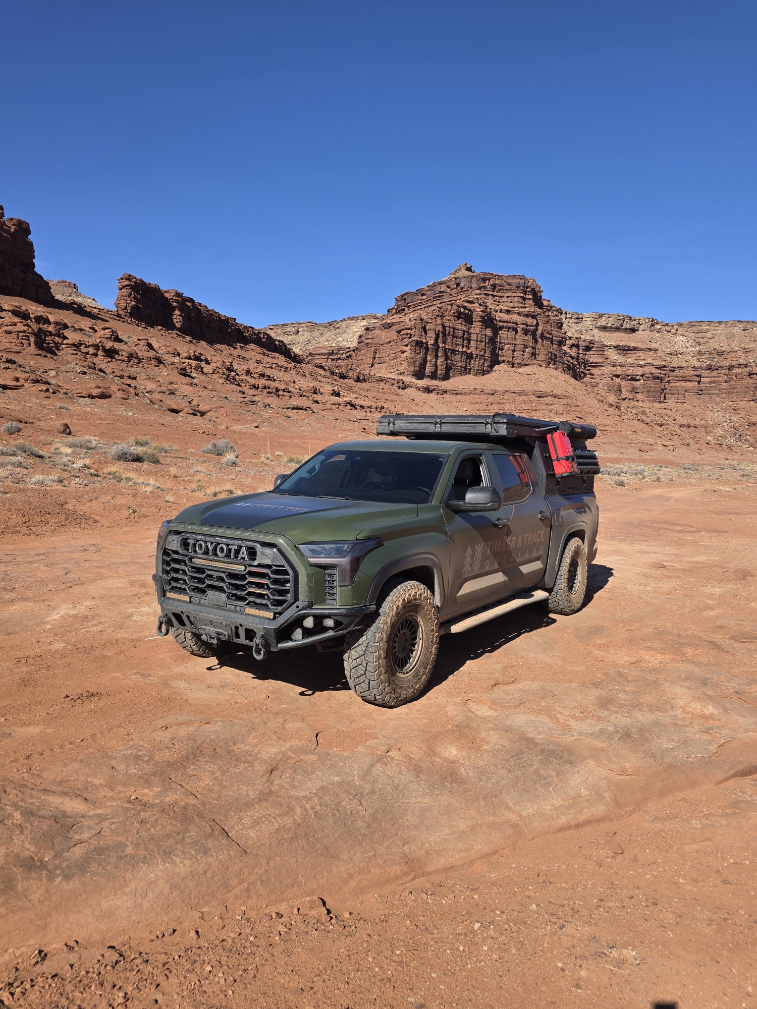
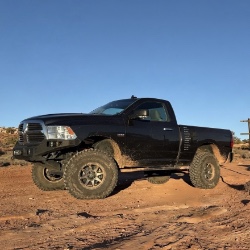
.jpg)
