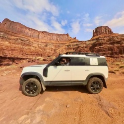
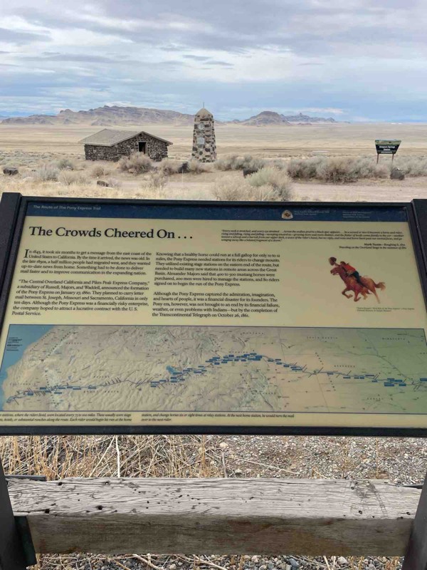
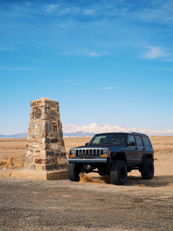
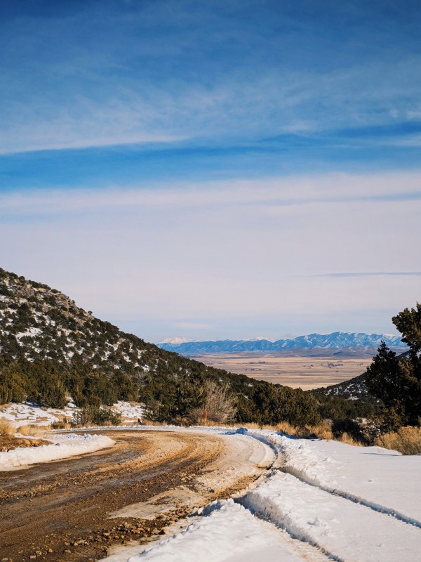
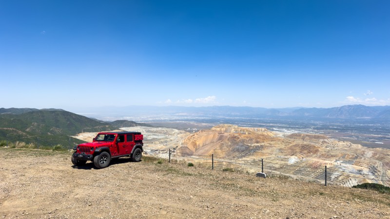
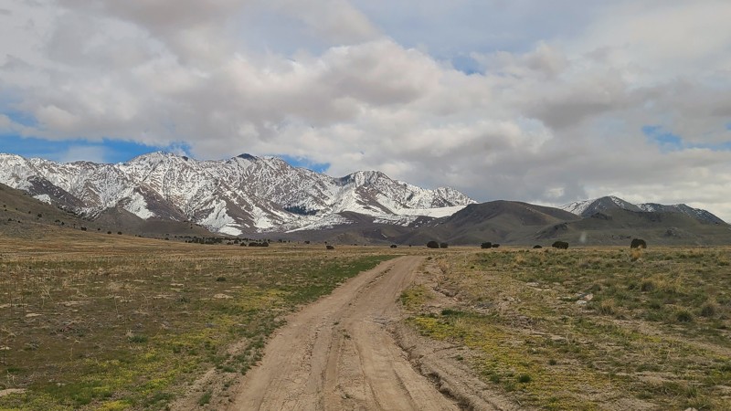
Middle Canyon Road/Copper Mine Overlook
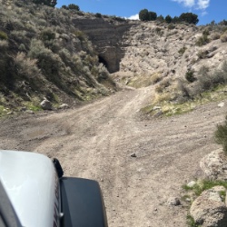
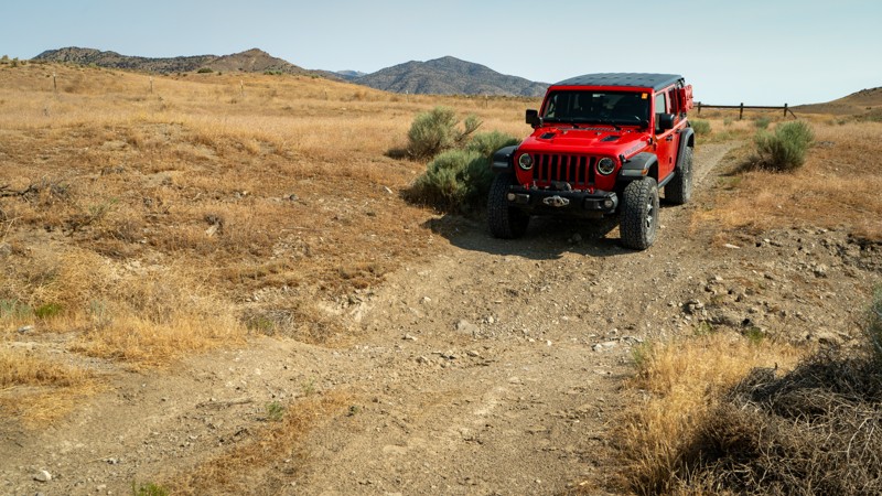
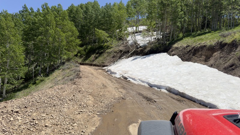
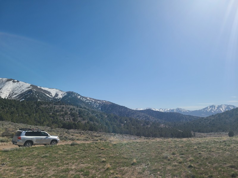
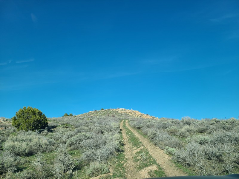
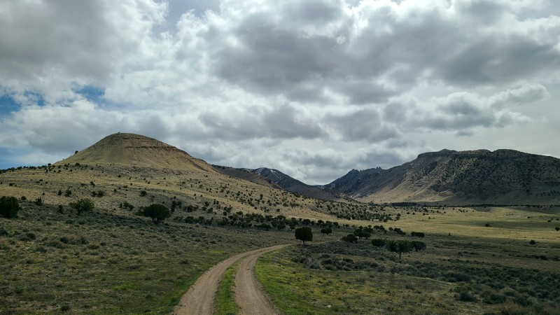
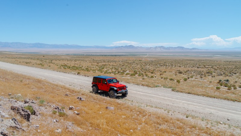
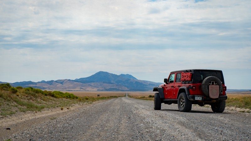
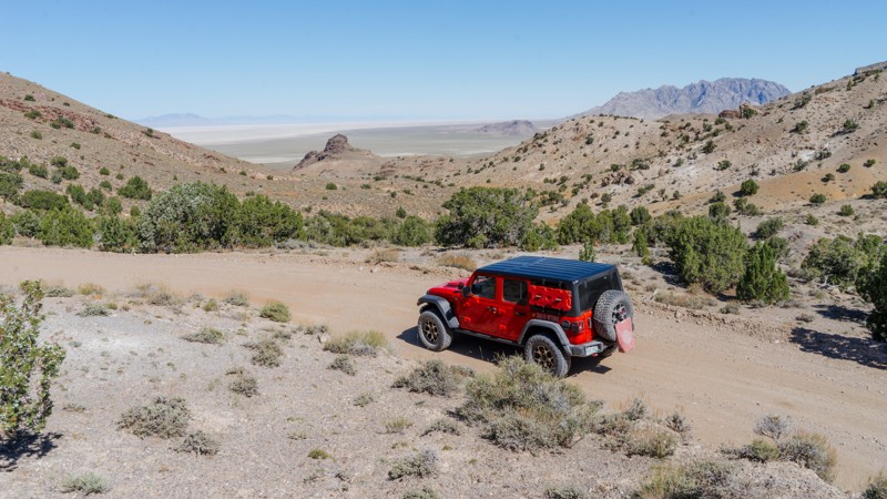
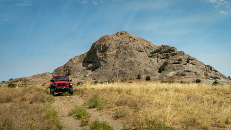
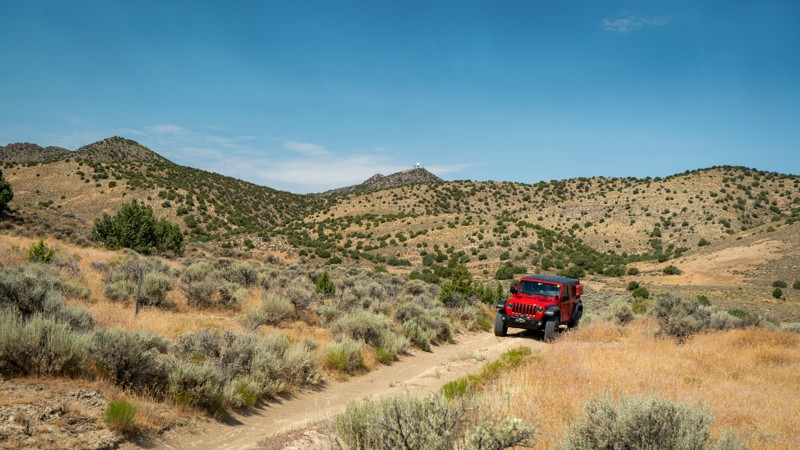
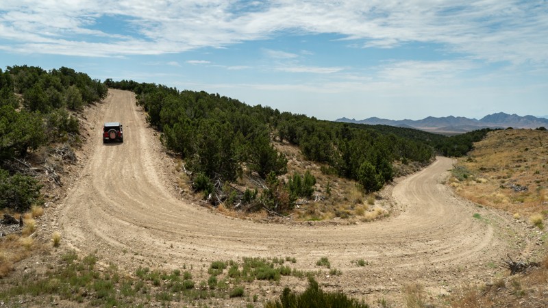
Middle Canyon Road/Copper Mine Overlook is a great escape from the city, with incredible views in all directions. It's an easy, well-kept dirt road accessible to most vehicles under good conditions. The road to the overlook is slightly rougher, but just about any car should have no trouble. Inclement weather may limit this to four-wheel drive vehicles, as it could become muddy. Many people head to the overlook from the Salt Lake side via Butterfield Canyon. The entire road up Butterfield Canyon is now paved until you reach the saddle.
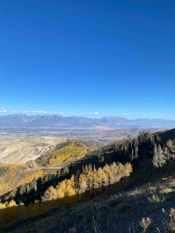
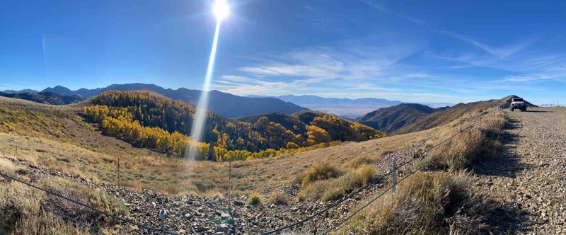
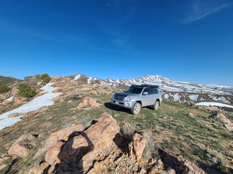
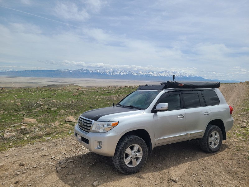
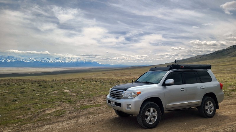
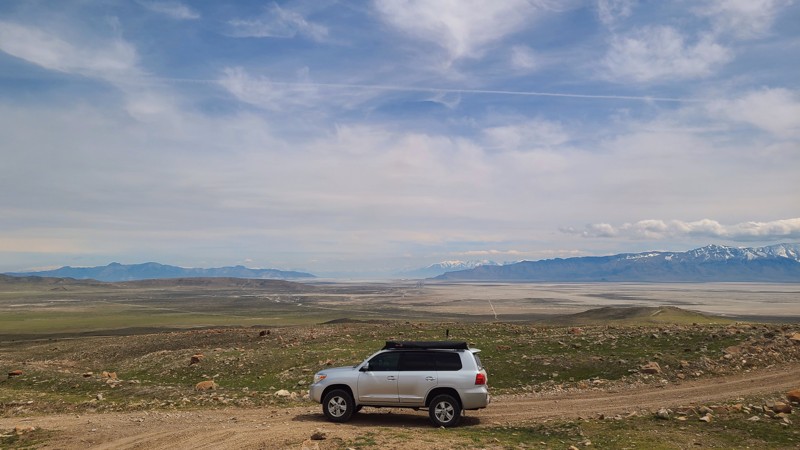
Once you are at the top, the Tooele Valley and Salt Lake Valley are visible, but the biggest draw is right below. The Bingham Canyon Mine, commonly referred to as Kennecott, is the largest open pit mine in the world. You can even see it from space! As of 2024, it was 3/4 of a mile deep and over 2 miles wide. This mine is most known for copper but also extracts other precious minerals like gold, lithium, and aluminum. This mine is still incredibly active, and you can see all of the trucks working along its shelf roads. If you are looking for an awesome experience to add to your day, check out a tour at the visitors center.
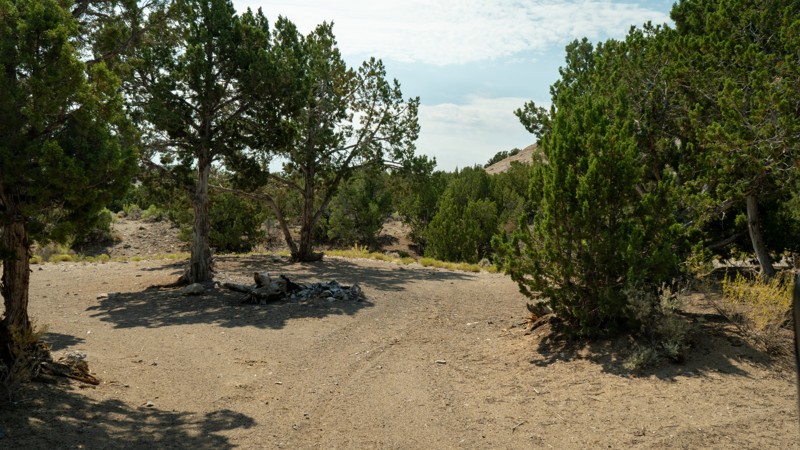
Camping is available at the start of the trail, where the pavement ends at Middle Canyon Campground. There are designated sites with fire rings, picnic tables, and a pit toilet. This is a popular camping area close to the city, so be sure to get there early!
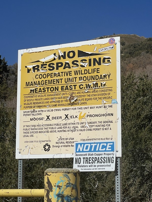
The entire canyon is closed yearly from November 1st to June 1st.