



By clicking "ACCEPT", you agree to be the terms and conditions of each policy linked to above. You also agree to the storing of cookies on your device to facilitate the operation and functionality of our site, enhance and customize your user experience, and to analyze how our site is used.
Nevada Off-Road Trails
93
Total Trail Guides 87

987
Detailed Waypoints 129
Try a Free 7-Day Trial and unlock it all
Start a Free Trial Most Recent Trail Reviews
Rated 3/5
Open
Visited: 09/15/2026
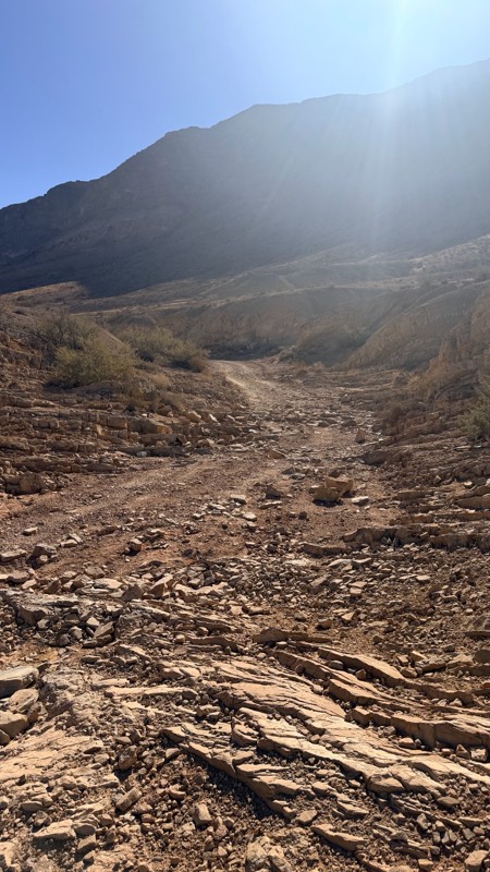
Unfortunately Kodachrome Road appears to have been recently graded. The fins have more or less been obliterated, leaving mostly a crush box. The deeper rutted section of the wash on the Vegas site has...

H
HotRatShit
Rated 1/5
Open
Visited: 09/12/2026
The rock fins are no longer there.. I’m not sure if they were washed out or were removed by someone. If the landmark wasn’t marked on the map I’d never actually know there were rock fins. I ran the wh...
Mario
Rated 5/5
Open
Visited: 09/11/2026
awesome place to camp and for a day trip . the trail is smooth. but gets busy on the weekends.

Dex Offroad
Rated 5/5
Open
Visited: 09/06/2026
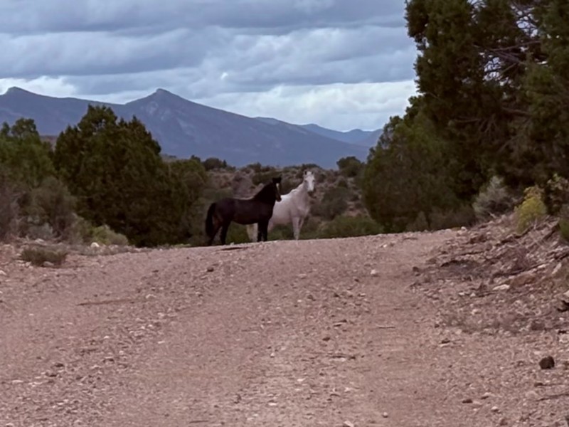
Very quiet scenic drive with lots of off shoot trails to forested areas for dispersed camping. Many other trails in the area to connect with including the Silver State Trail.
KB
Kevin Bigley
Rated 4/5
Open
Visited: 09/06/2026
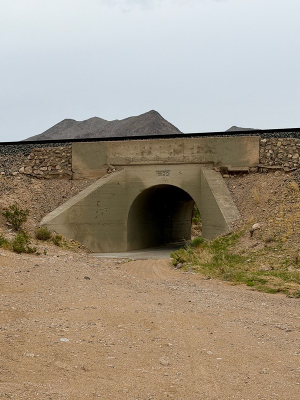
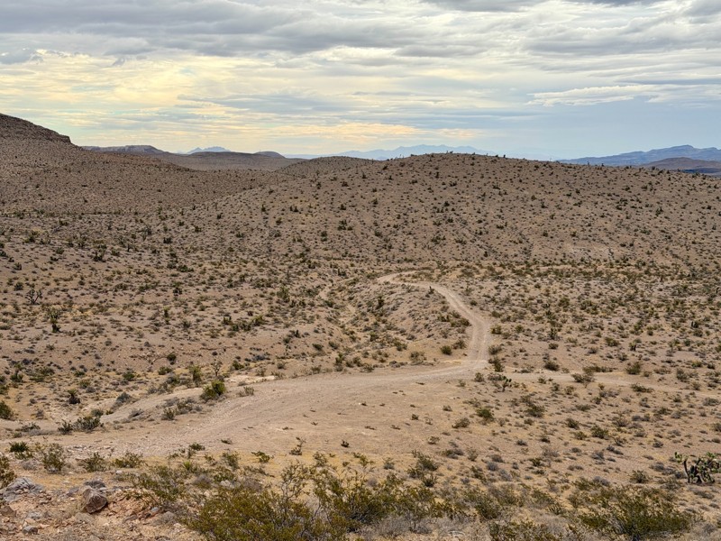
Railroad Canyon is a short rock crawling trail that is super close to Las Vegas. Easy trail acceess is made off the south end of Las Vegas Blvd. Begin by heading under the interstate overpass and th...

Bill
Rated 5/5
Open
Visited: 09/04/2026
Just as described. Ran it West to East. Camped at the campground. Stars were amazing. Saw no one entire time.
KB
Kevin Bigley
Rated 2/5
Open
Visited: 08/27/2026
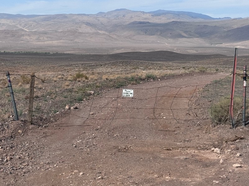
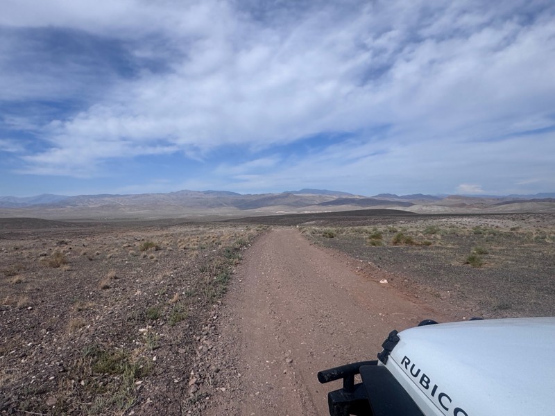
For the most part, this road is not graded. There were some sandy spots and water obstacles ( some avoidable and others not).
The last 1/3 of the trail that ends at Wild Horse Trail was pretty rough ...
Kim Soucek
Official Crew
No Rating
Open
Visited: 08/27/2026
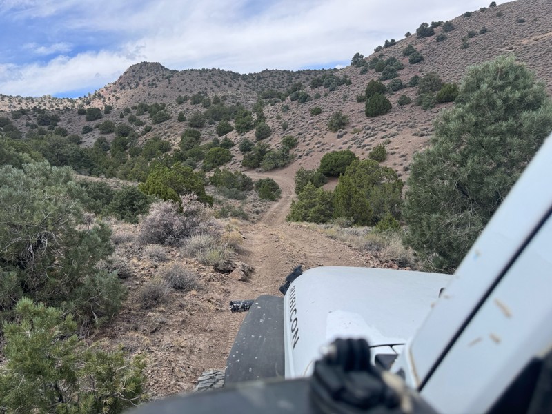
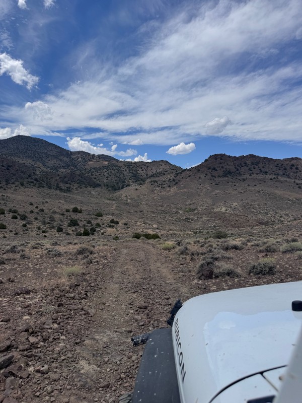
This trail is so fun! Twisty turns and steep drops and climbs- with beautiful rugged back country scenery the whole way.
On the Dayton side descent, I was rewarded with majestic views of the mountai...
Kim Soucek
Official Crew
No Rating
Open
Visited: 08/20/2026
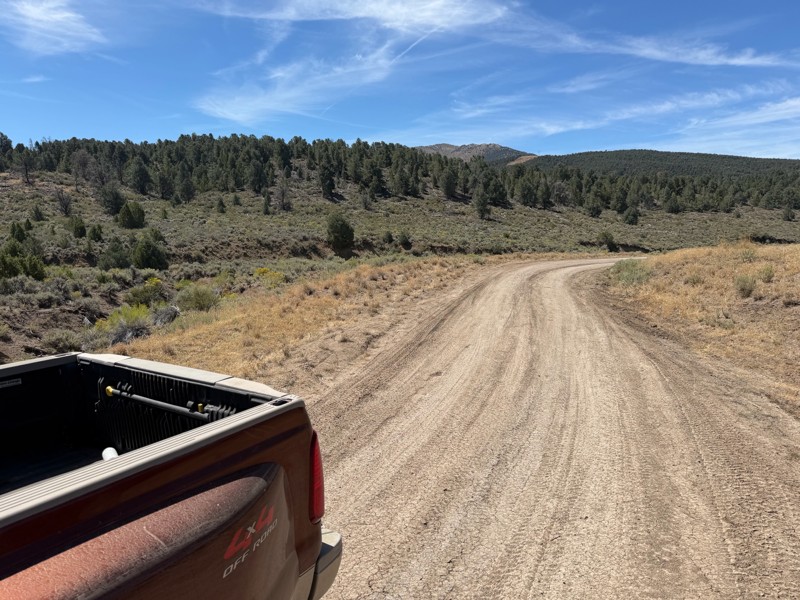
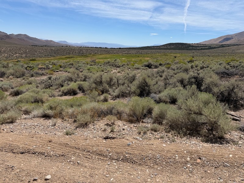
I’m new to this and don’t know what folks consider graded but to me this is not a graded road. Maybe it’s my truck but this route today was about 1/4 smooth and the rest was moderately very bumpy. Lot...
DD
Darius Davenport
No Rating
Open
Visited: 08/19/2026
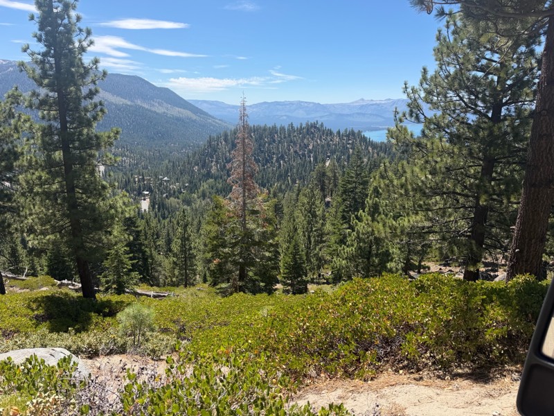
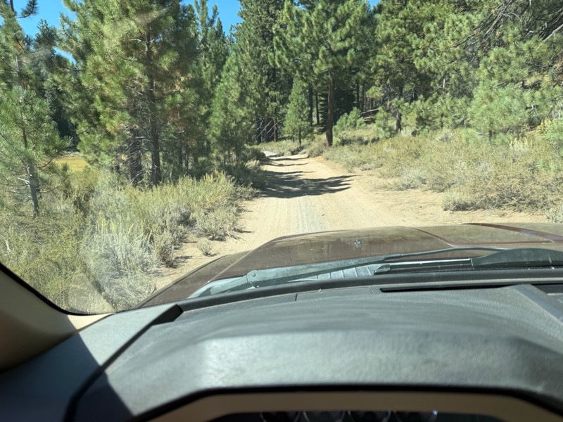
I rode Genoa Peak road from SR 50 to Logan Loop which brings you back to Genoa Peak and then south until Kings Berry Grade. I’m a very experienced driver but new to off roading. I actually wouldn’t ca...
DD
Darius Davenport
No Rating
Open
Visited: 08/11/2026
Per the MVUM, the trail is seasonally open. As always, check current fire restrictions/closures before venturing out.

Trails Offroad
Official Crew
Rated 3/5
Open
Visited: 08/10/2026
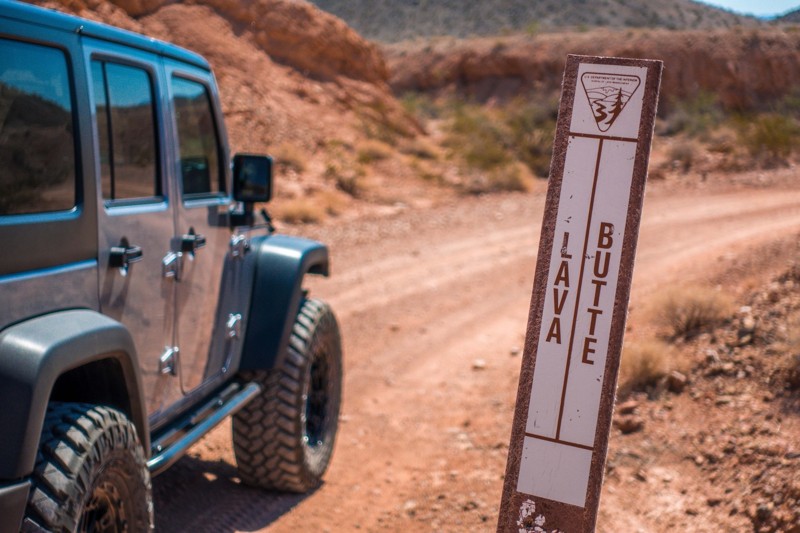
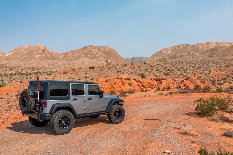
This is a quick and easy trail that is close to town. The trail is well groomed and accessible for beginners or stock rigs. Open desert landscape with volcanic rock all around here. Take the trail...
Bill
Rated 4/5
Open
Visited: 07/29/2026
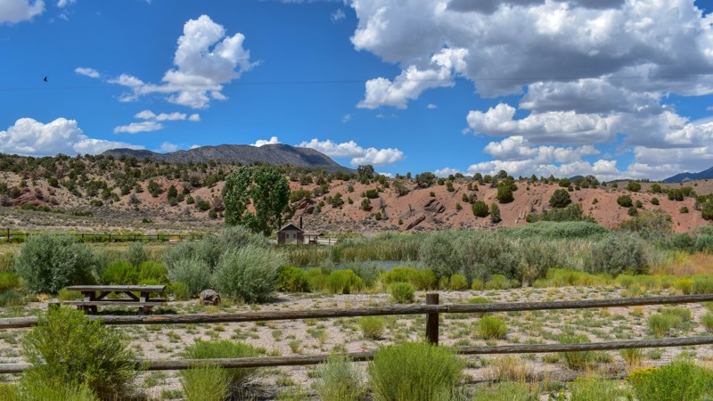
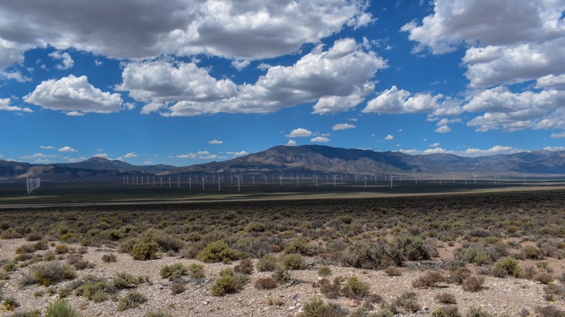
Something has always drawn me to this area. I’ve been coming out here for nearly 15 years prospecting and mining. The pond at Sacramento Pass is stocked, and I’ve had a decent dinner from what I caugh...

Cory Wooldridge
Official Crew
Rated 4/5
Open
Visited: 07/29/2026
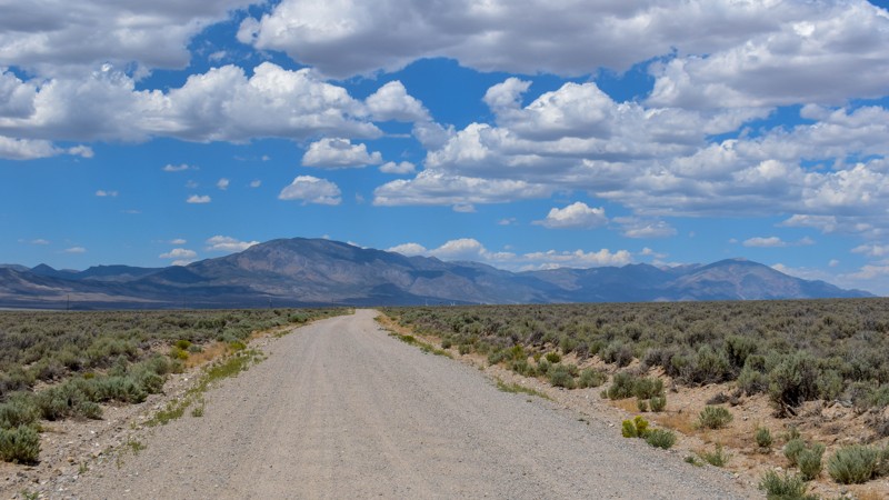
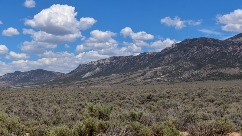
This trail gets 4 stars, not for the trail itself but for the access it provides. We have camped up Willard Creek Rd many times over the years. The lower site along the creek currently doesn’t have mu...
Cory Wooldridge
Official Crew
Rated 3/5
Open
Visited: 07/29/2026
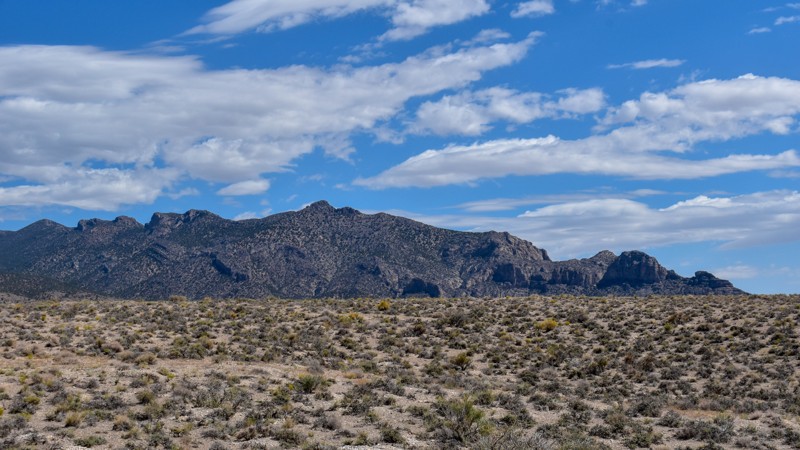
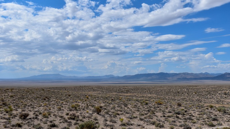
We love exploring old mines and ghost towns, even if only from the road. The west side of the Snake Range is rich in mining history, with silver and tungsten at the extremities and gold at the heart i...
Cory Wooldridge
Official Crew
Rated 3/5
Open
Visited: 07/29/2026
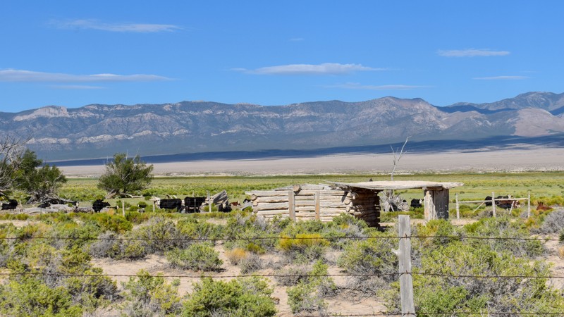
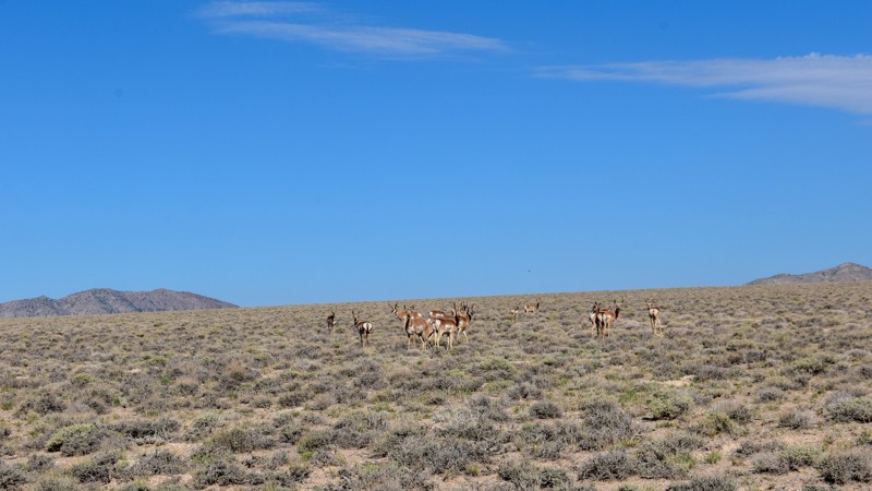
The old cabin and well way out in the middle of the valley were a neat surprise. There was a herd of antelope that was happy to stare back at us as we stopped to take pictures. The high-water line and...
Cory Wooldridge
Official Crew
Rated 3/5
Open
Visited: 07/28/2026
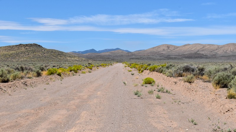
I love how smooth some of these roads are, the lack of trash, ruts, potholes, etc, make so many of these roads out here that much more enjoyable. Not much to see along this trail, but the distant view...
Cory Wooldridge
Official Crew
Rated 4/5
Open
Visited: 07/27/2026
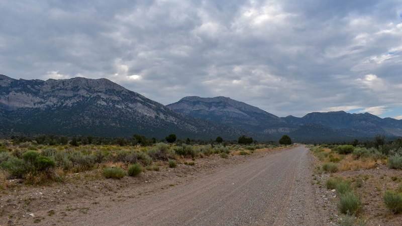
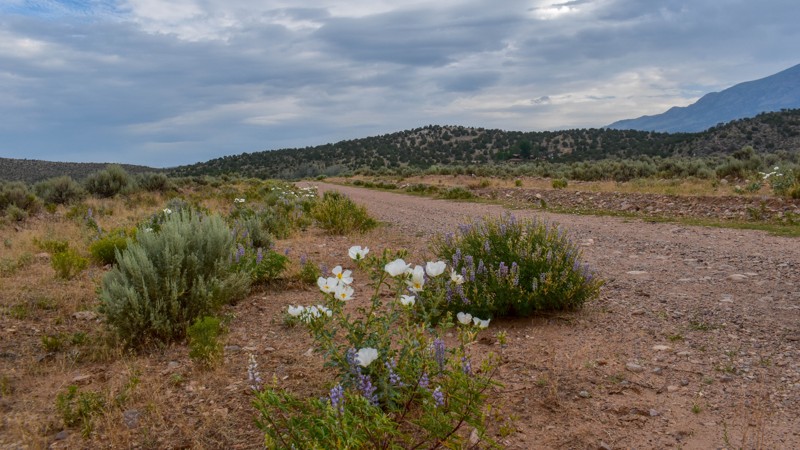
This is a gem of a dirt road. The entire network of trails south of Ely has been a fun week to explore, and North Cave Valley Road delivered an easy stretch of dirt that carried us for miles through o...
Cory Wooldridge
Official Crew
Rated 4/5
Open
Visited: 07/27/2026
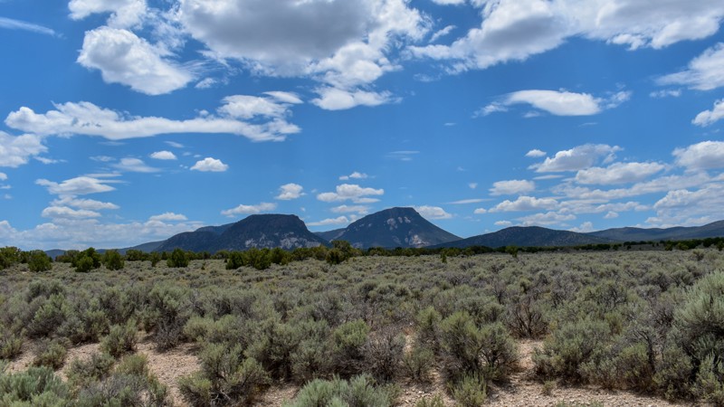
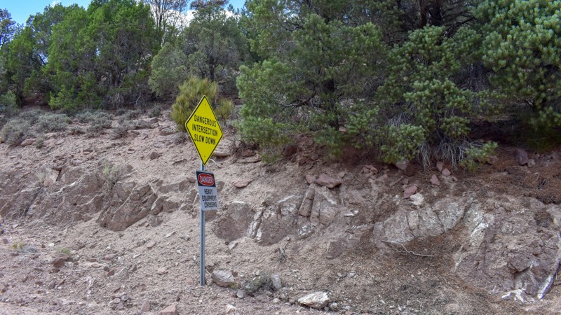
I love the way the clouds cast shadows, dotting the valley flow and framing the mountain ranges in different perspectives as time passes. The jagged mountains were neat, the horses were active as we m...
Cory Wooldridge
Official Crew
Rated 3/5
Open
Visited: 07/27/2026
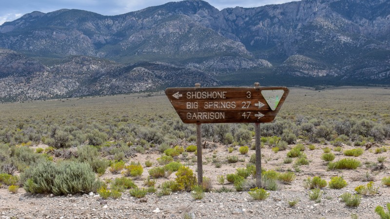
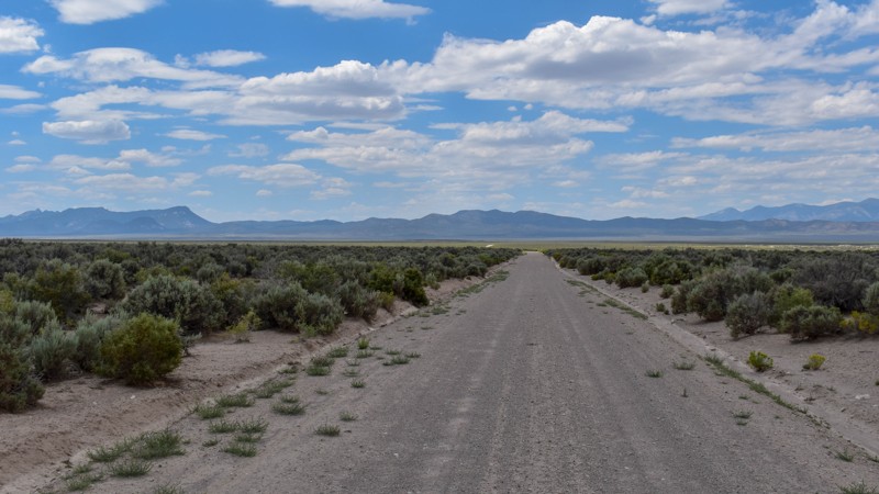
Its a beautiful, open trail with picture perfect tall sagebrush and the east and west ends, with small sage in the low lying valley named Baking Powder Flat. There were some quarry work areas which ma...
Cory Wooldridge
Official Crew
No Rating
Open
Visited: 07/26/2026
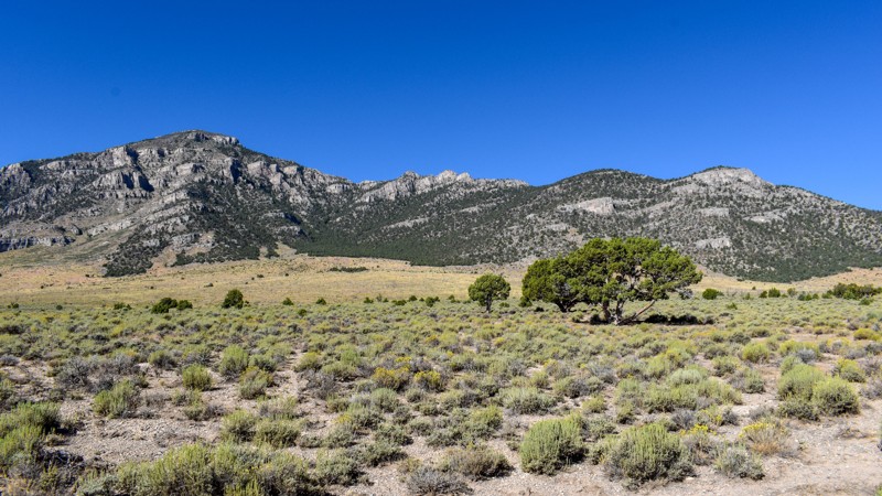
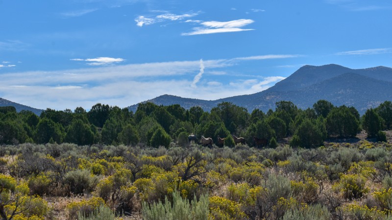
This trail is between a 4 and 5 star for me. I love the changing scenery and juniper tress. Seemingly endless valleys with mountains bordering the trail, groups of wild horses, easy dirt road. One win...
Cory Wooldridge
Official Crew
Rated 4/5
Open
Visited: 07/26/2026
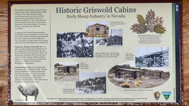
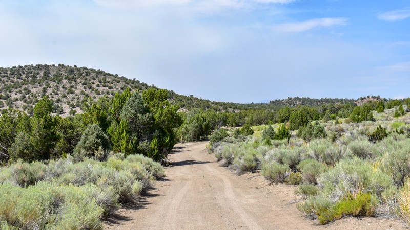
The history along this trail was a pleasant surprise. The scenery was nice, a couple of old small ruins barely visible through the sage to the west of the road, and a larger stacked wall to the west n...
Cory Wooldridge
Official Crew
Rated 3/5
Open
Visited: 07/26/2026
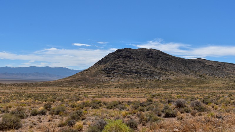
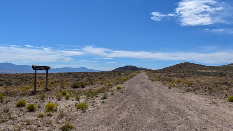
Another connector trail with gorgeous views and Coyote Spring or Stonewall Spring depending on your map at the south end. It's nice and green at the spring, but fenced and private property. Not much t...
Cory Wooldridge
Official Crew
Rated 3/5
Open
Visited: 07/26/2026
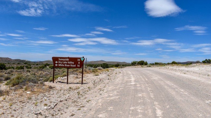
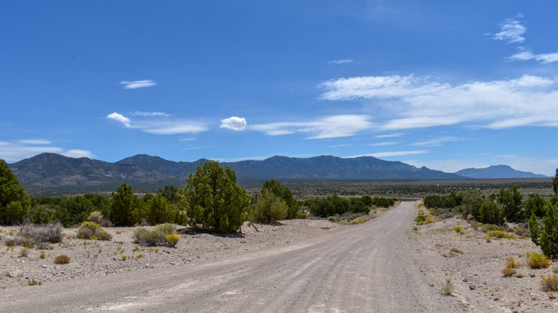
We camped in Spring Valley between Pioche and Ely for a week and went to the hot springs a couple of times taking different paths each time, this was by far the quickest and easiest way across. The vi...
Cory Wooldridge
Official Crew
Rated 3/5
Open
Visited: 07/26/2026
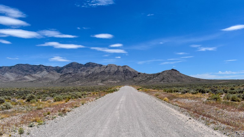
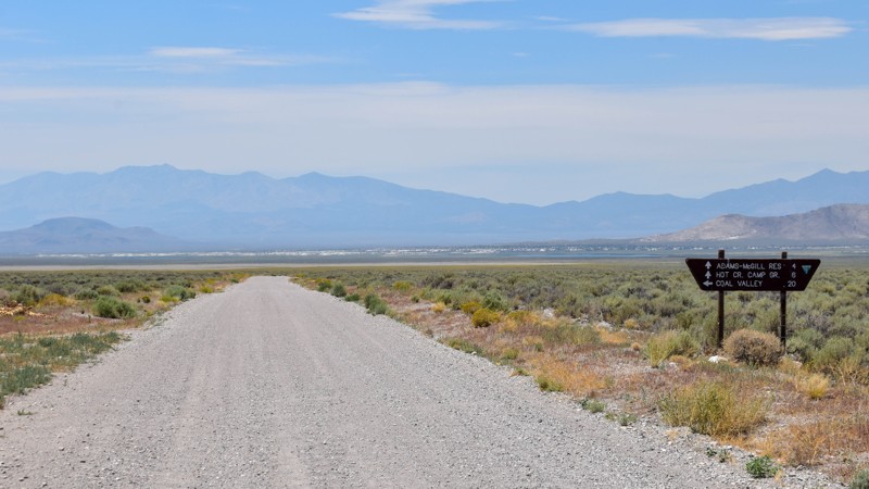
We've passed by this road when coming up from the south to go to Hot Creek and used the main entrance further north several times not knowing this was here. Coming up from the south this cuts off a li...
Cory Wooldridge
Official Crew
Rated 3/5
Open
Visited: 07/24/2026
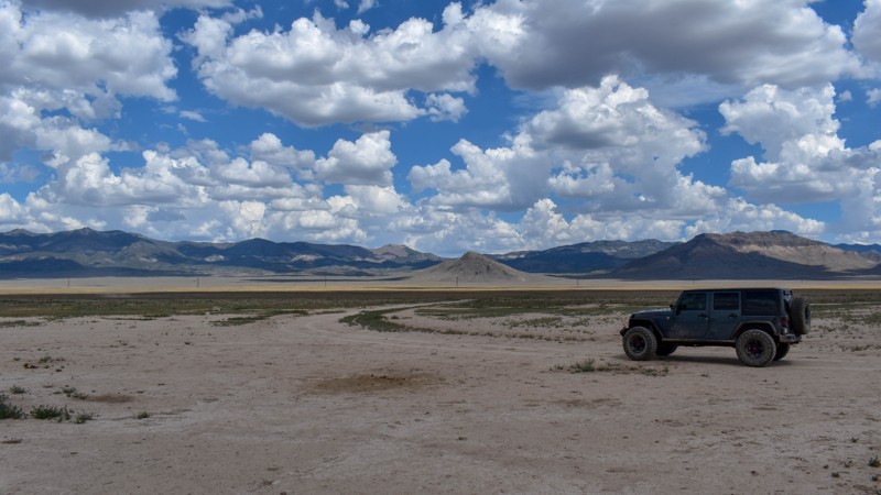
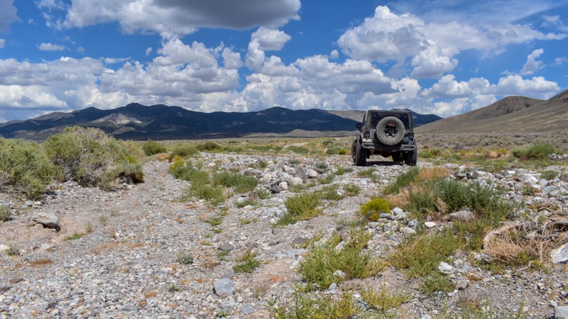
The maps imply this was once a decent road, either end of it still are, but the middle is not. There are sections where any trace of the road has been washed away into rocky gravel stream beds, with p...
Cory Wooldridge
Official Crew
Rated 5/5
Open
Visited: 07/24/2026
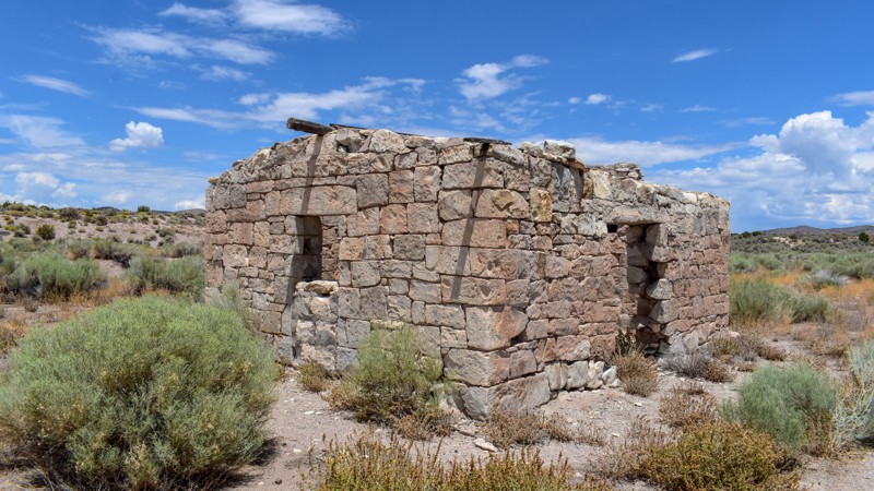
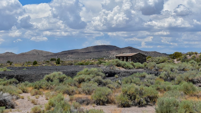
The maps of this area are very confusing and contradictory. Researching this trail, the trail name should have reached the old ghost town site, which at the time of mapping I thought was only a local ...
Cory Wooldridge
Official Crew
Rated 2/5
Open
Visited: 07/24/2026
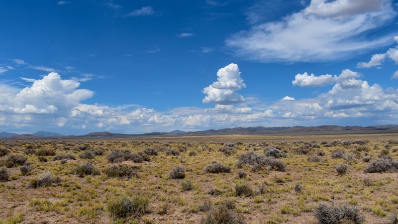
Forget the photos in the first review, pics here, notes there.
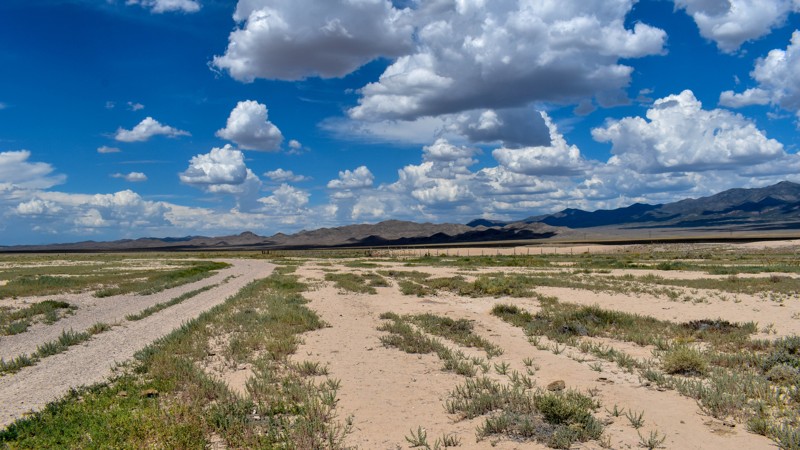
Cory Wooldridge
Official Crew
Rated 2/5
Open
Visited: 07/24/2026
This trail does offer expansive views, although not as exciting as others. There was a herd of antelope at Bullfrog Reservoir, which to us desert dwellers is called a tank, an earth berm with what I a...
Cory Wooldridge
Official Crew
Rated 3/5
Open
Visited: 07/24/2026
We got spoiled with the more northern mountainous trails, this one is a good connector during the dry months to get somewhere else in Cave Valley. The charcoal ovens though, are absolutely worth the t...
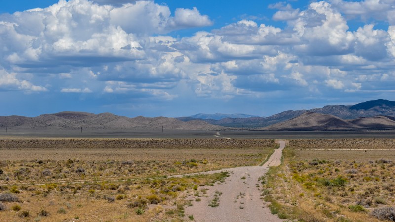
Cory Wooldridge
Official Crew
Rated 3/5
Open
Visited: 07/24/2026
The wild horses and the old smelter slag, cabins, and charcoal ovens in the distance were the trail highlights for us. I prefer the trails further north for the scenery and vegetation, but the wild ho...
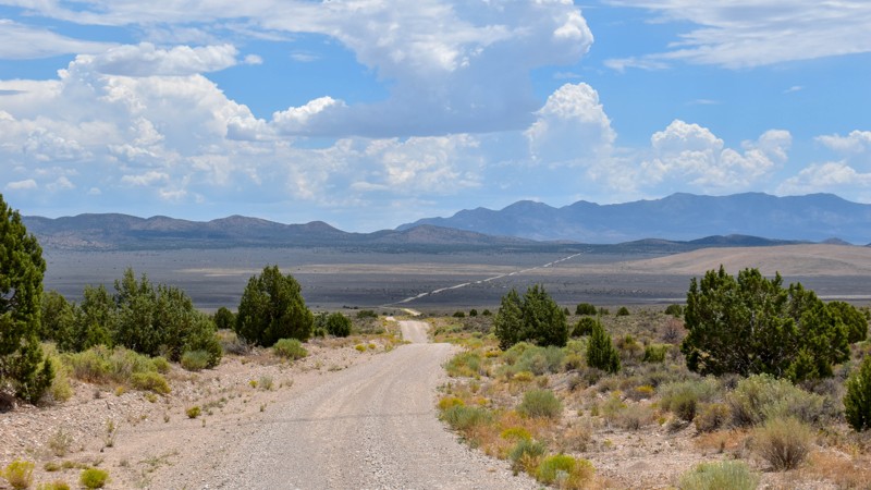
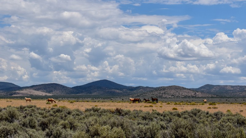
Cory Wooldridge
Official Crew
Rated 4/5
Open
Visited: 07/24/2026
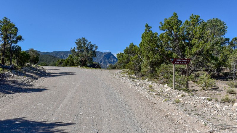
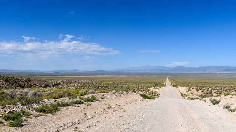
We took Patterson Pass Rd to Shingle Shortcut and onto Shingle pass to get to the Hot Spring Creek across the 318 near Dave Deacon campground. The ride was easy going, enjoyable and pretty. Several bl...
Cory Wooldridge
Official Crew
Rated 3/5
Open
Visited: 07/24/2026
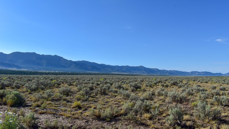
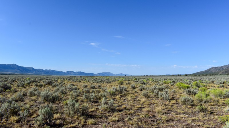
Compared to the surrounding trails, I gave this a 3 star rating. It is still a pretty trail. I do not like mud, and the low lying areas are that type of slick silty mud that could easily cause issues....
Cory Wooldridge
Official Crew
Rated 5/5
Open
Visited: 07/23/2026
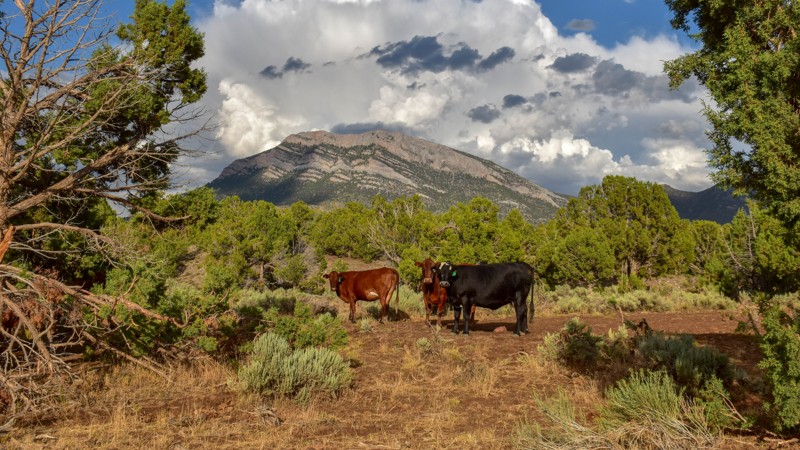
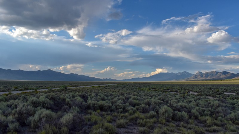
This trail was gorgeous. I like the scenery and the feel of the higher country trails in the northern area of Cave Valley more so than the southern. All in all, I haven't found any flat out boring roa...
Cory Wooldridge
Official Crew
Rated 4/5
Open
Visited: 07/23/2026
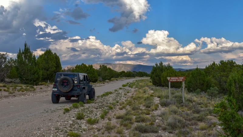
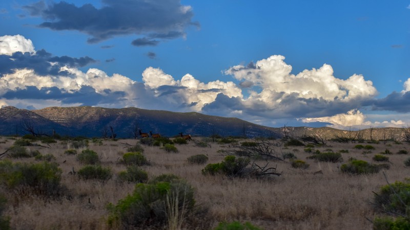
This trail had the most wildlife of any of the trails on this trip. We saw multiple elk, deer, and pronghorn antelope. Overall, this is a very pretty drive, and the easiest access from the east into C...
Cory Wooldridge
Official Crew
Rated 5/5
Open
Visited: 07/23/2026
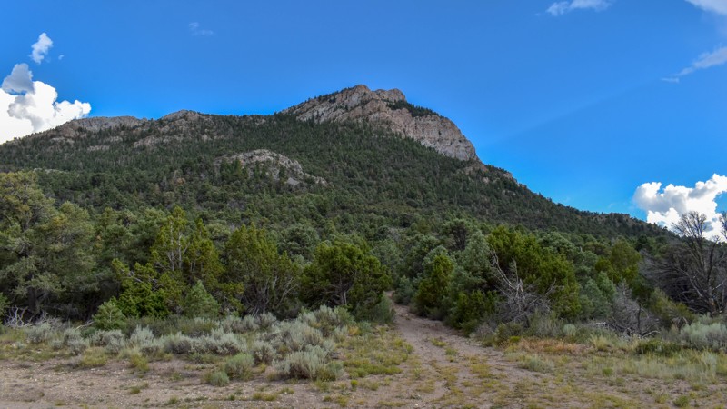
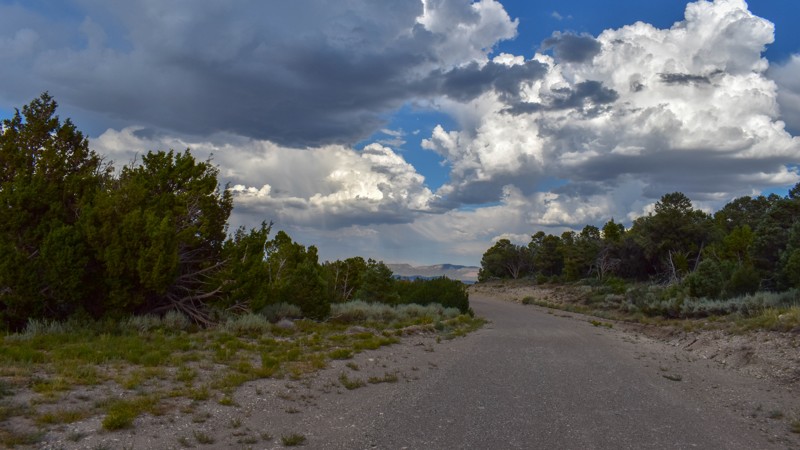
We've camped at Patterson Pass several times, but this was the first time exploring into Cave Valley. This area is gorgeous, the roads were just my style, and the weather was great. The evening monsoo...
Cory Wooldridge
Official Crew
Rated 4/5
Open
Visited: 07/12/2026
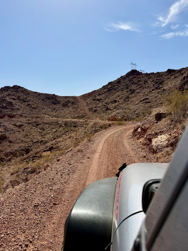
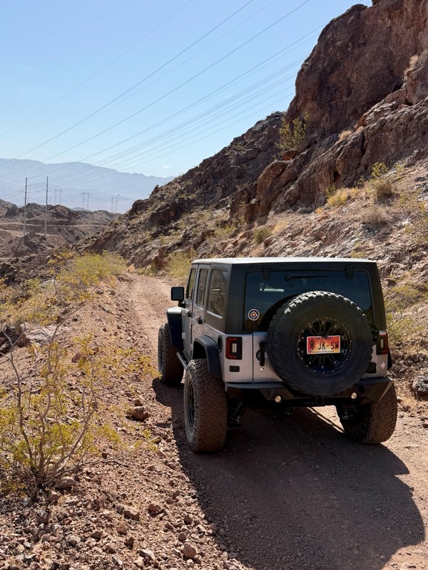
This is a short but exciting trail. You begin by climbing a series of rocky switchbacks that serve as access to the powerlines that tower above you. Don’t get distracted by the scenic views of Lake ...
Bill
Rated 5/5
Open
Visited: 07/06/2026
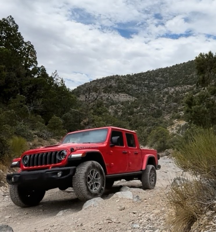
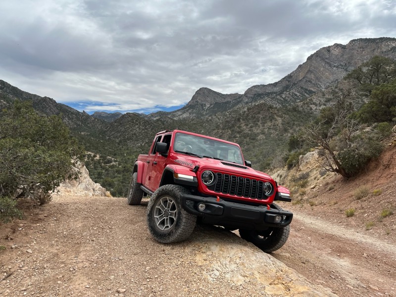
Really Rocky Road - Lift Kit recommended
EC
Edgar Carrillo
No Rating
Open
Visited: 06/29/2026
Joined this at Waypoint 12 of Potosi Pass Road. This isn’t a trail; it’s a four lane wide, mostly gravel, well graded, racetrack. Watch out for locals running at high speeds. It’s worth taking it t...
KN
Karen Nowak
No Rating
Open
Visited: 06/28/2026
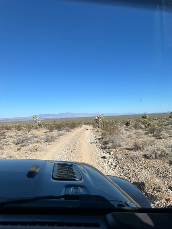
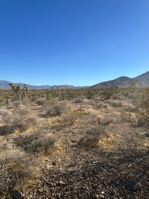
Have done this route before and the problem with Google sending you off course to get to the trailhead off Highway 160 has been solved. It now finds the Potosi historical marker and its attendant le...
KN
Karen Nowak
Rated 5/5
Open
Visited: 06/21/2026
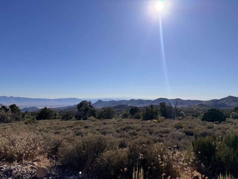
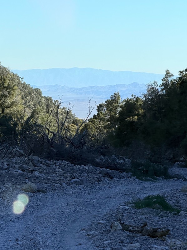
pretty easy trail with really awesome camping opportunities!
AK
Abby Kersey-Mendez
Rated 5/5
Open
Visited: 05/31/2026
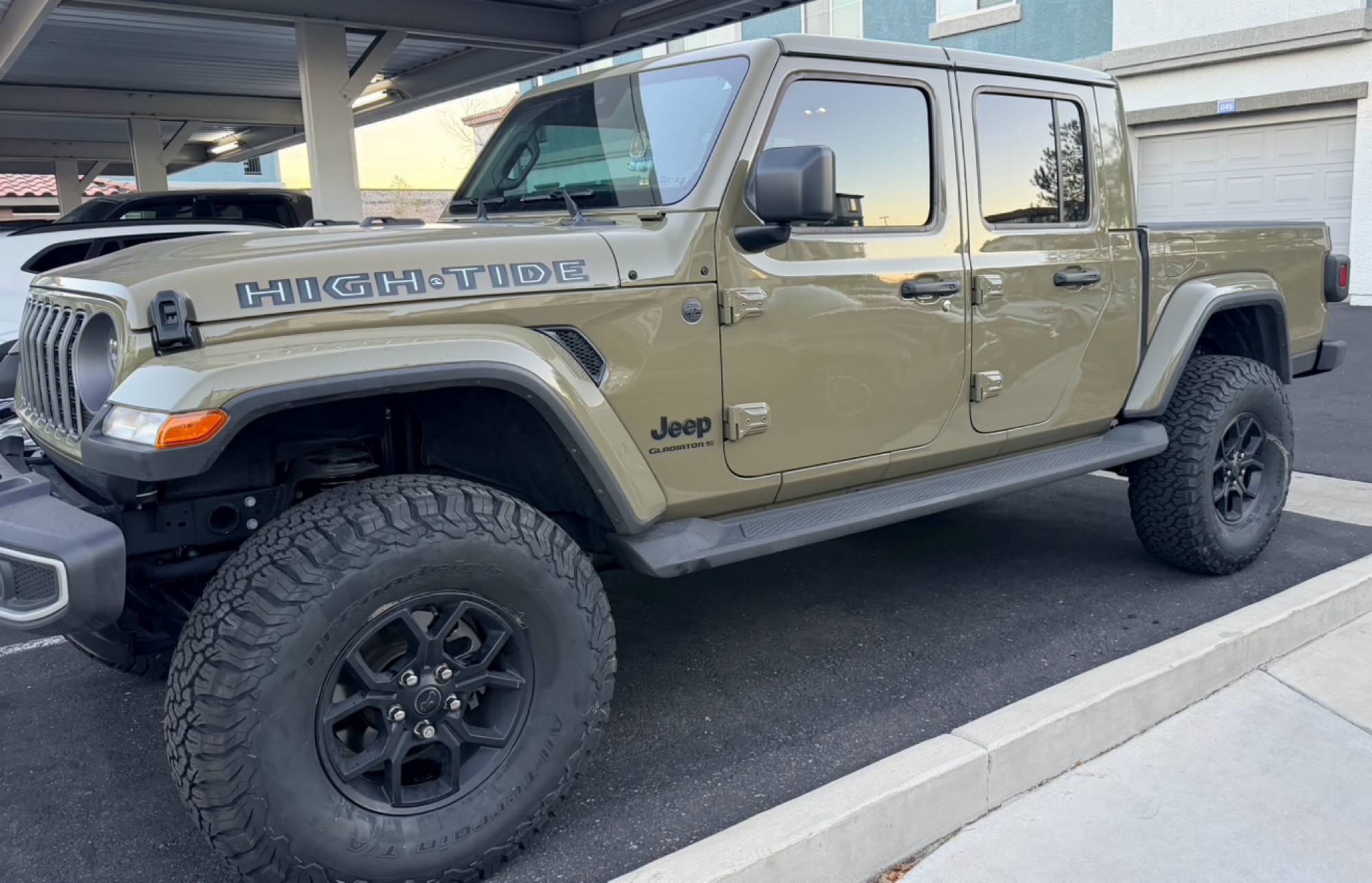
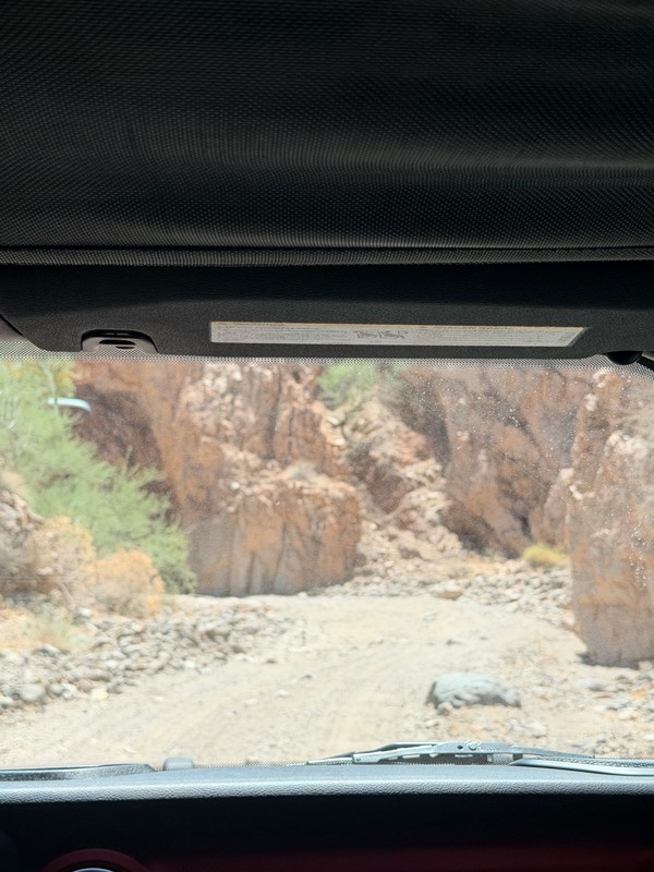
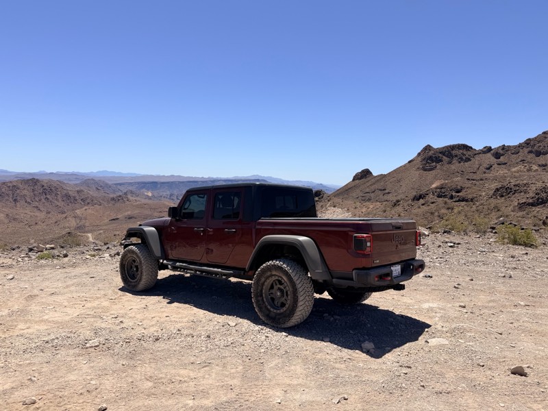
harder than we expected. drove a jeep gladiator for the first time. we got through it but the end was a bit dicey.
AK
Abby Kersey-Mendez
Open
Visited: 05/25/2026
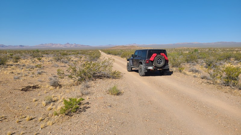
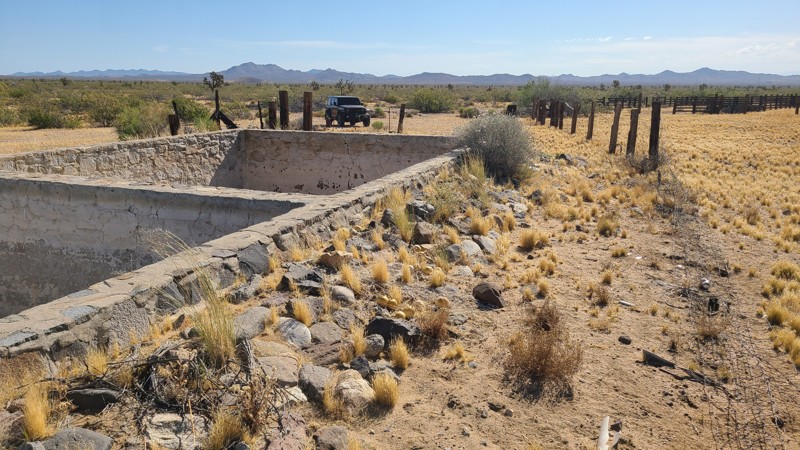
When hiking, watch out for the Cholla cactus and its spines. These are no joke. The microscopic thorns fishhook-like barbs that are very difficult to remove and even stick to your hands when trying ...

Robert
Official Crew
Rated 5/5
Open
Visited: 05/24/2026
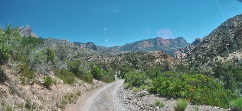
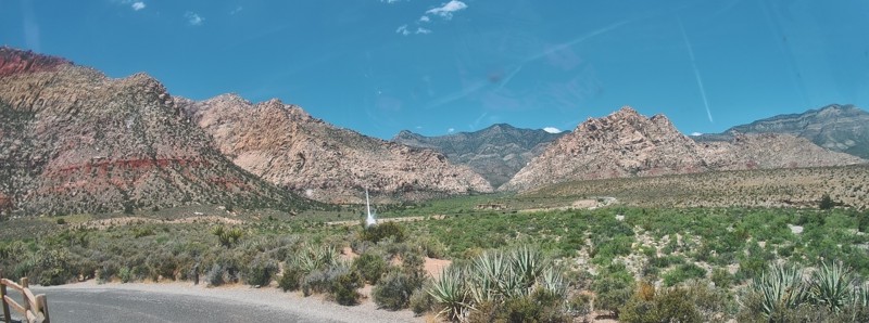
Completed this trail in my Gladiator Rubicon with a 2" lift and 35" tires. It was a pretty easy trail and found the rock Garden a nice challenge and had no problems getting through it. The trail was v...

PBenn
Rated 5/5
Open
Visited: 05/23/2026
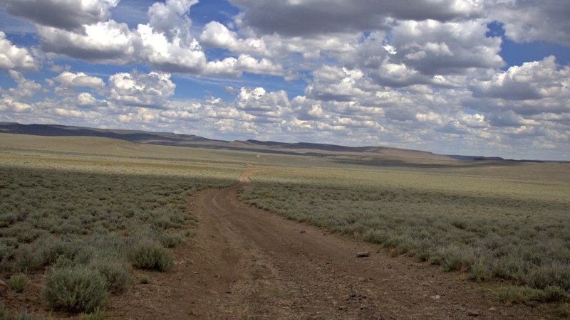
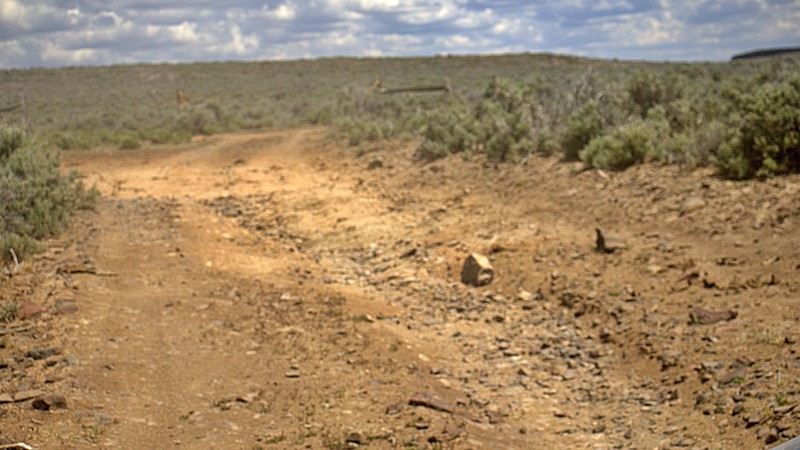
We used High Rock Canyon Road to reach the northern entrance of the High Rock Canyon Trail, and it was a great way to kick off the adventure. While the road isn't particularly difficult, the sweeping ...

Rose Meirs
Official Crew
Rated 5/5
Open
Visited: 05/23/2026
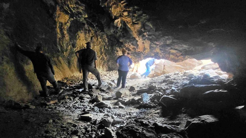
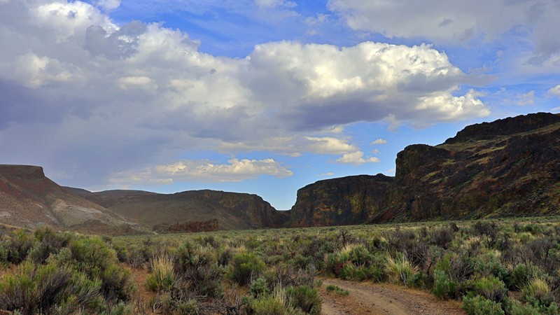
We tackled this trail with a group of six Jeeps and a Colorado ZR2 Bison, and while the route is not particularly difficult, it delivers plenty of adventure along the way. Expect narrow sections where...
Rose Meirs
Official Crew
No Rating
Open
Visited: 05/22/2026
Ran this trail from west to east. The turn off from Sandy Valley Road is easy to miss. The whole area is rich in mining history so it’s interesting to explore.
KT
Ken Turzinski
Rated 5/5
Open
Visited: 05/18/2026
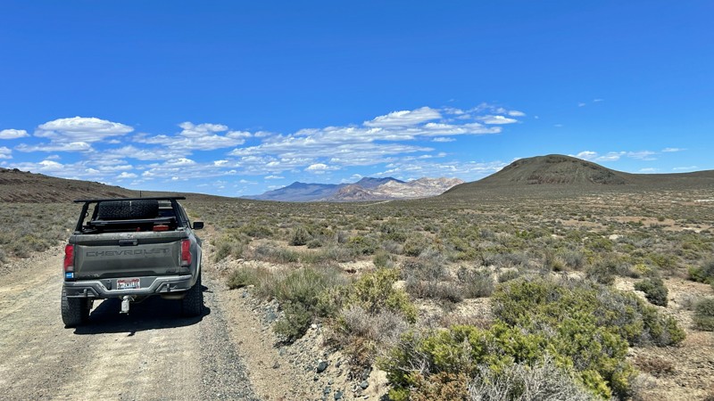
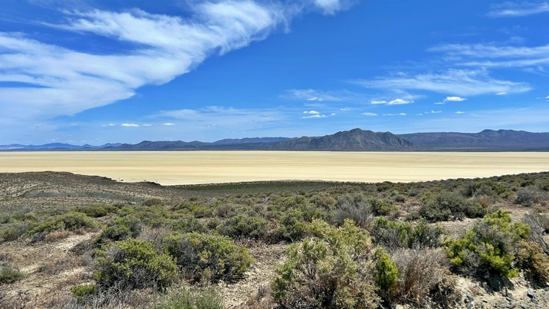
Our group used Soldier Meadows Road as the gateway to our basecamp and as the main route for exploring the incredible Black Rock Desert and High Rock Canyon region. Be prepared for plenty of washboard...
Rose Meirs
Official Crew
Rated 5/5
Open
Visited: 05/18/2026
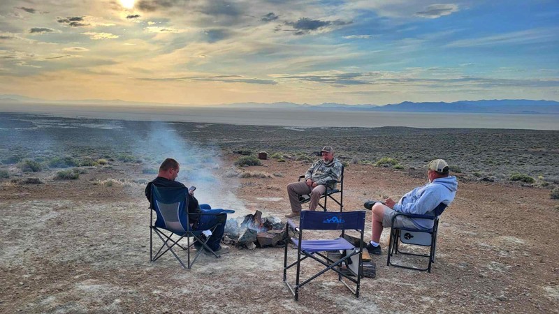
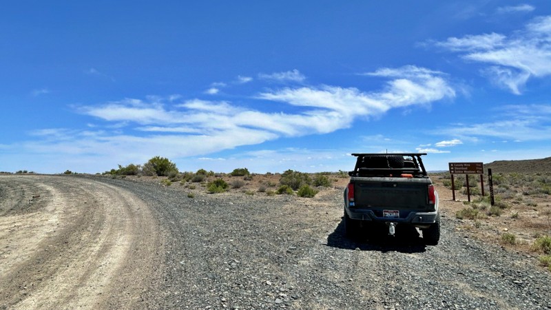
I chose this trail as our base camp and staging area for a Memorial Day weekend adventure exploring the Black Rock Desert and High Rock Canyon. It turned out to be the perfect spot for our group, acco...
Rose Meirs
Official Crew
Rated 5/5
Open
Visited: 05/18/2026
Glad to see this trail open again! Ran in about 3 hours and thoroughly enjoyed it.
Trail will be closed again September 2026 for further repair, so get out there while it's open!

Danny Britton
Most Popular
Updated: 06/05/2022
Pine Nut Road
Las Vegas, Nevada
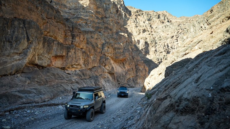
A Short road off of Mormon Well road located in the Desert National Wildlife Refuge that climbs from the valley floor into the pines at the top and ends with a great campground. One of the camp sites has a nice view of the desert below. There are multiple weather stations to explore. Plenty of hiking options from the campground, including a trail to Sheep Peak.

Updated: 07/02/2026
Sandy Valley Road
Mountain Springs, Nevada
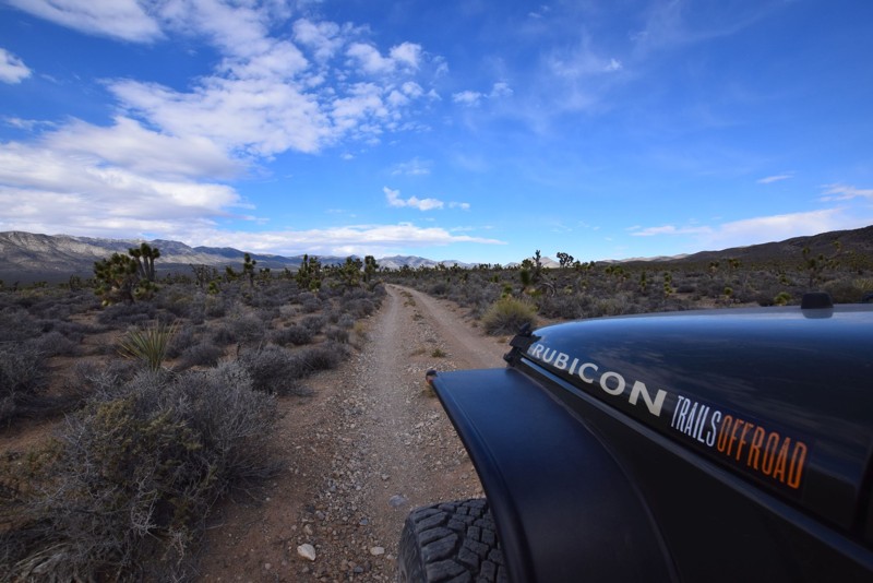
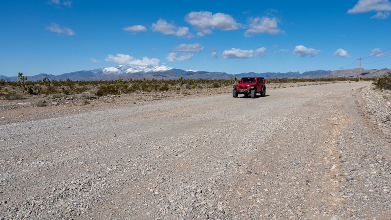
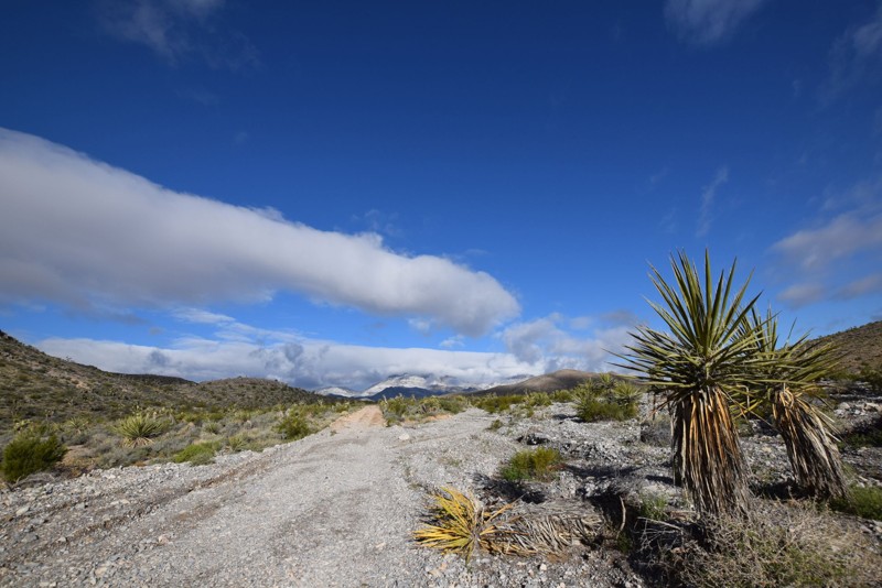
Sandy Valley Road, also referenced as Pahrump Road on various maps, is a straight-through, 16-mile-long graded gravel road that connects the Pahrump Valley Highway to Sandy Valley along the Nevada and California border. The road is extremely wide, crosses numerous dry desert washes, and becomes impassable during heavy rain as the water fills the washes. During dry conditions, the road is suitable for any vehicle. The first few miles along the northern end, you can find several spur roads that lead to open areas that have been used as possible campsites in the past. These open areas are in poor condition and do not make ideal campsites. However, they offer scenic views of Potosi Mountain, Charleston Peak, and the surrounding Joshua Tree forest.
Updated: 08/28/2026
Wild Horse Trail
Dayton, Nevada
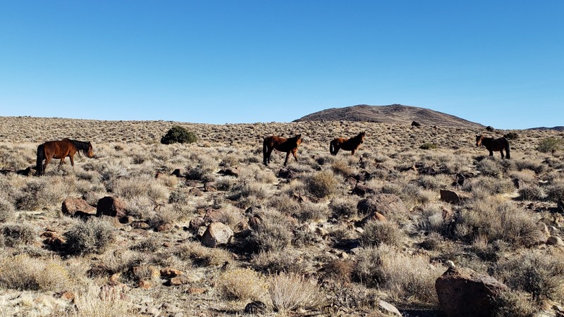
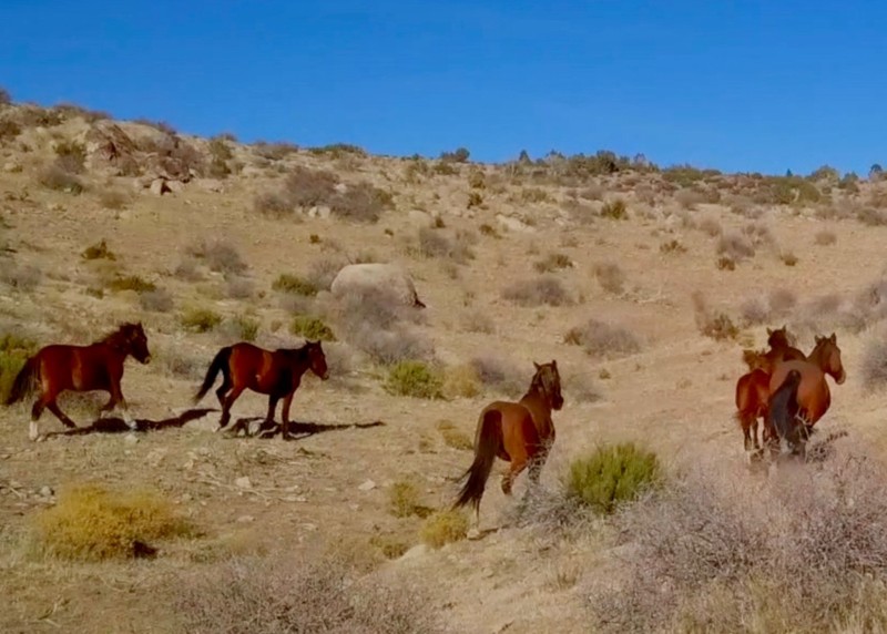
Wild horses and pronghorn antelope are often seen on this trail. Running across BLM land, there are dispersed campsites available along the route. There are also springs, old mines, and wildlife guzzlers.
Wild Horse Trail takes you from the outskirts of Dayton, Nevada, to Clifton Flat. The trailhead starts at the unlocked wild horse protection gate at the east end of Dayton Valley Road. Properly close and latch the gate after you enter.
Wild Horse Trail begins as a graded dirt road. As you ascend, the road narrows to a double-track trail. The trail's surface is mostly smooth compacted dirt with patches of rocky rubble. There are a couple of short steep hill climbs/descents with loose 6-inch rocks. Low-clearance vehicles may catch and drag the loose rocks. High clearance or lifted vehicles are better suited for this trail. The many juniper trees adjacent to Wild Horse Trail can leave minor pinstripes on Jeep-sized vehicles. Several seasonal streambeds cross the trail. Caution is advised during storms and spring snow melts.
Cell phone service, gasoline, food, and lodging are available in Dayton, Nevada, 2 miles from the trailhead.
Updated: 06/24/2023
Sawmill Road West
Las Vegas, Nevada
Sawmill Road West is a nice scenic off-road drive starting in the desert valley and climbing to an elevation of 5600 feet. Scenic landscape starts with brush and dirt/gravel roads and progresses to pine trees and snow during the winter season. Sawmill Road West is an optional entrance from the north into the Desert National Wildlife Refuge, which connects to Mormon Well Road. There are scattered camp sites along the trail, some big enough to fit multiple vehicles and tents.
Updated: 09/08/2026
Hot Creek Spring
Adaven, Nevada
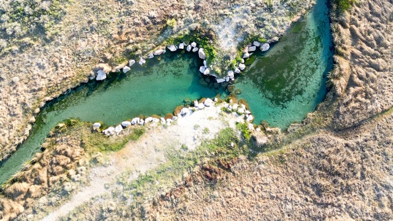
Hot Creek Spring Road is a one-mile gravel road that leads to a pleasant surprise: a natural warm pool for soaking and swimming.
Located in the Wayne E. Kirch Wildlife Management Area near Lund, Nevada, the warm pool is typically around 85 degrees Fahrenheit and is fed by Hot Creek Spring. It offers a large gravel parking lot and a short hiking trail with interpretive signage.
Free camping is available at the nearby Hot Creek Campground.
Updated: 10/15/2024
Ute Road
Ute, Nevada
Ute Road was once paved, but after severe flash flooding and washouts, it has become a patchwork of pavement, dirt, embedded rock, and ledges serving as a gatekeeper to accessing the Weiser Valley trail system. The only option to avoid Ute Road is to use Old Spanish Trail North.
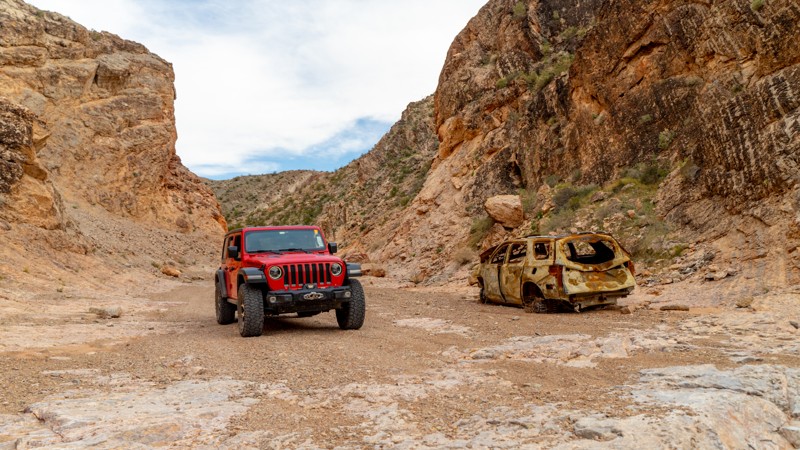
Ute Road's excitement is located within the rock canyon that cuts through California Ridge. In the canyon, you will find plenty of opportunities to test the articulation of your suspension and your line-choice ability. You will even be greeted by the remains of what is perhaps an early 2000s mid-sized SUV. Dispersed campsites can be found on the west end of the canyon, making them accessible from I-15 without entering the canyon. Additional camping is available at the trailhead area of Weiser Valley.
At its eastern end, Ute Road dead ends at a management gate, making it purely a road for the excitement of the obstacles and to access Weiser Valley.
Updated: 04/18/2023
Cedar Wash and Bishop Road
Caliente, Nevada
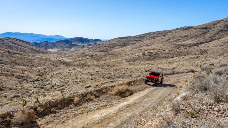
The Delamar Mountains are located in a remote region of one of the least populated counties the United States. As you climb in elevation the abandoned mines of the Delamar area soon give way to the pine forests of the Delamar Mountains. Once you cross the mountains you will drop into the Kane Spring Wash, just outside of Rainbow Canyon.
There are wild horses, bighorn sheep and deer in abundance on this 4x4 trail. Since you will be traveling well above 5000 feet expect cooler temperatures, a pleasant escape in the summer months.
At the trail end, turn east on Kane Spring Road and in 3.5 miles you will come to the small town of Elgin on Highway 317, also known as the Rainbow Canyon Scenic Drive. From there it is about 21 miles north to Caliente.
Updated: 05/20/2026
Kingston Road
Sandy Valley, Nevada
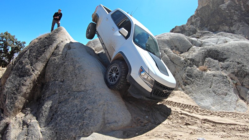
Kingston Road is a straight-through, nearly 13-mile-long dirt connection between Sandy Valley and Goodsprings, which traverses over Wilson Pass at 5,047 feet. The western end of the road out of Sandy Valley follows a wide, rocky, dry desert wash with 6''-10'' ruts and loose rocks. The trail is well traveled by many vehicles, including passenger cars and SUVs, as they access a commercial gun range. This portion of the trail appears to be washed out often as it is a main drainage from the mountains. Users should be prepared for impassable conditions after heavy rain. After passing the gun range, the road narrows a bit and begins working its way up the mountains. The trail stays rough as it traverses a more washboard, hardpacked surface and follows the powerlines. The eastern side of the pass, as you approach Goodsprings, is a well-maintained, graded dirt road. The trail comes to an end on North Beacon Street as it transitions to pavement and then becomes Pacific Avenue. Don't forget to make a stop at the historic Pioneer Saloon, one of Nevada's oldest saloons.
This trail does not offer any camping, and although it can be run in 2WD, a high clearance vehicle will be needed, and airing down is highly recommended to help ease your comfort during the drive.
Updated: 03/18/2023
Frontier Line - Moon Rocks
Sparks, Nevada
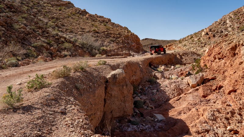
Outside Reno and Sparks, Nevada sits this open OHV playground know as Moon Rocks, where huge rock formations make up endless lines of anything from easy off-road exploring to extreme rock crawling.
Frontier Line is one of the more technical, but not quite extreme lines here at Moon Rocks. A steep ravine along with a technical v-crack and tight off-camber turns make Frontier Line one for more experienced wheelers. While built buggies won't have much trouble with this trail, an optional climb along this trail will challenge even fully built rock buggies.
Updated: 01/06/2026
Rainbow Gardens Road
Sunrise Manor, Nevada
Situated between Las Vegas and Lake Mead, within the Sunrise Mountain Special Recreation Management Area, Rainbow Gardens is a nearly 8-mile, point-to-point trail that cuts through a brightly colored mountain and canyon landscape formed by millions of years of erosion. Erosion still continues today, where heavy rains can quickly change this easy road into a rutty mess or even wash out the road entirely in spots. During normally dry conditions, this trail is suitable for any high clearance vehicle and is easily traversed in 2WD. Accessing the trail from the north end will be the most challenging thing you encounter, as you are required to drop the rutty hill on the north side of Kodachrome Road in order to start Rainbow Gardens. The remainder of the trail is a well-graded dirt and gravel road with minor grades and a short, 100-yard-long narrow section next to a drainage that drops off nearly 20 feet at its deepest point. The road is only 1.5 vehicles wide through this spot, but seeing oncoming traffic is easy, and the section is very short. This trail crosses several dry desert washes that can become rutty and ledgy after heavy floods. Rainbow Gardens can be run in either direction and can be run by itself or combined with one of the other nearby roads to create a full loop.
Camping is prohibited along this trail or any road within the Sunrise Mountain Special Recreation Management Area. The closest camping resides east, within Lake Mead National Recreation Area. Large trailheads on each end of the trail provide great areas for trailer parking or airing up/down.

Updated: 03/07/2023
Double Powerline
Moapa Valley, Nevada
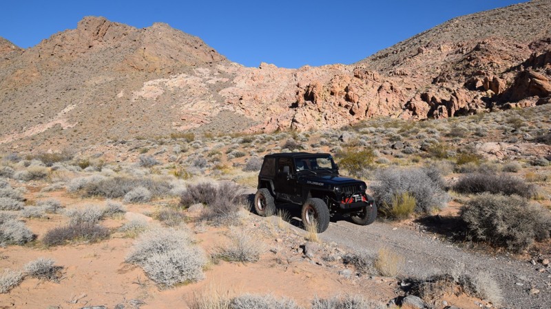
Double Powerlinel, located near Moapa Valley, is an excellent alternative for off-road users looking to access other trails without traveling on the highway. The route easily and quickly connects two popular OHV regions. The trail crosses underneath large power lines while traveling through sections of private property. The route can be combined with other published trails to make for a long and memorable overland route. The terrain in the area varies from rolling sand hills and jagged ridgelines. Sections of the route offer a glimpse into the Muddy River basin, where the ribbon of dense vegetation stands in stark contrast.
Updated: 03/01/2024
Colorock Quarry
Las Vegas, Nevada
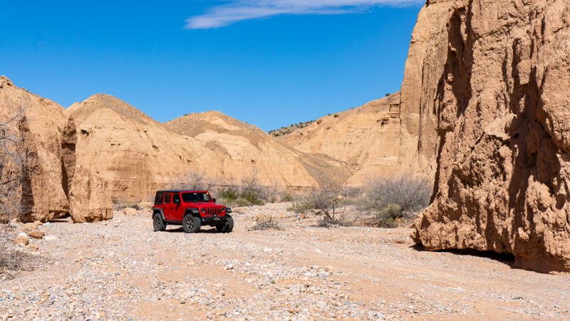
Located in the Muddy Mountain Wilderness, a 100 million-acre natural preserve north of Las Vegas, Colorock Quarry trail is an easy way to access this remote and truly unique region of southern Nevada. The trail winds its way through a colorful mix of rocky mountains before stopping at the wilderness boundary and an old mining cabin. The Muddy Mountains Wilderness Area is truly a geologists paradise. It features unique geological formations made of limestone, Aztec sandstone, and fossilized sand dunes that all come together creating a visually dramatic landscape.
Updated: 10/15/2024
Dave Deacon Camp Rd
Lund, Nevada
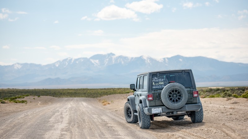
Dave Deacon Camp Road is a 40-mile trek through a rolling high desert basin offering a unique adventure. The road surface, mostly gravel, is dotted with intermittent patches of washboard dirt and silt. While the road is generally accessible to most vehicles, it's important to be aware of the potential hazards. Large loose rocks on the roadway could pose a risk to passenger vehicles with minimal ground clearance, and heavy rain could make travel along this route challenging.
The eastern scenery is relatively flat with typical wildland vegetation like sagebrush, rabbitbrush, and grasses. The western half of the road has a rolling landscape and offers scenic mountain views with young Juniper trees.
There aren't any campsites directly off this road, but many spur roads offer flat open spaces to set up camp. Towards the east, the nearby Hot Creek Campground is free and offers pit toilets, water, and an RV dump station.
The Western end of Dave Deacon Camp Road transitions from BLM land to National Forest and turns into Cherry Creek Summit Road, aka Forest Road 59410.
Updated: 10/15/2024
Knight Ranch Cuttoff
Jean, Nevada
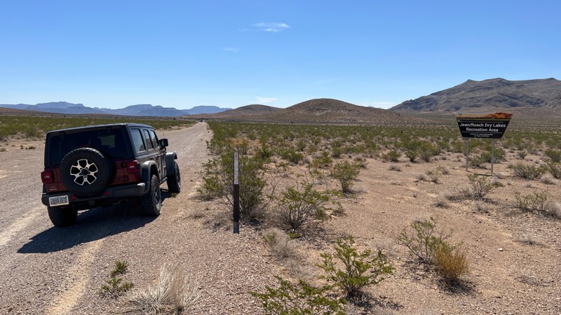
Knight Ranch Cuttoff is a short trail providing access from Las Vegas Blvd to the Jean Dry Lakebed and trails beyond. The area just east of the railroad tracks is frequently used for target shooting and is on BLM land.
Updated: 06/05/2022
Horseshutem Springs Road
Pahrump, Nevada
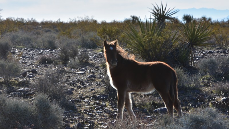
The Spring Mountains National Recreation Area is part of the Humboldt-Toiyabe National Forest. Better known to locals as Mount Charleston, it is located west of Las Vegas and encompasses more than 316,000 acres of remarkable beauty and surprising diversity. The Horseshutem Springs Road Backcountry 4x4 Trail on the west side of the Spring Mountains near Pahrump offers spectacular views of the Pahrump Valley and Telescope Peak in Death Valley National Park some 70 miles to the west. You will likely see wild horses, burros, and if you keep your eyes open, you'll likely see deer too near the end of the trail. Winter may find icy and snowy conditions in the upper areas near the end of the trail.
Horseshutem Springs is named for a Paiute Native American suspected of shooting early settlers' horses. The route became a Nye County non-maintained road in 2011 to preserve access to the springs that supply water to the nearby Johnnie community.
Updated: 10/15/2024
Virgin Wash
Amber, Nevada
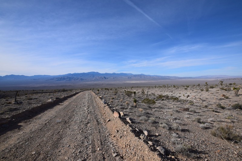
Bridging the gap between Logandale Main Loop and the town of Logandale, Virgin Wash is a fun route up a sandy wash with a few rock obstacles. Although most of the trail is relatively easy, one rock obstacle halfway through the route will cause stock and lightly modified 4WD vehicles to stop and think for a second. Longer wheelbase or lower vehicles may struggle to climb over without scraping. This trail is an excellent option if you want more adventure than just a few hill climbs. No campsites exist on this trail, but many dispersed sites exist in the Logandale Trails network.
Updated: 06/05/2022
Joe May Road
Las Vegas, Nevada
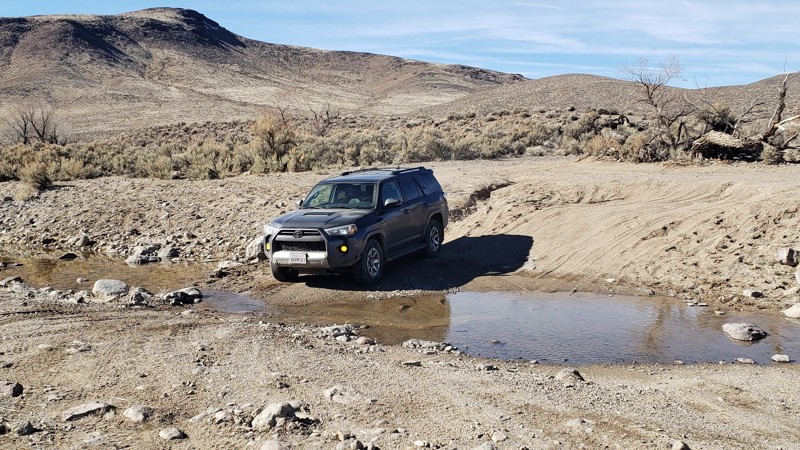
Joe May Road is located in the Desert National Wildlife Refuge that ends in a nice camping area with great views of the desert valley and mountains surrounding the area. Joe May Road is short drive on Alamo Road http://www.trailsoffroad.com/trails/988-alamo-road. This is a nice easy drive to a perfect campsite for watching the beautiful sunsets. This site is a great base for hiking in the surrounding hills. This would be a great base camp while exploring Alamo Road and the other trails in the area.
Updated: 09/02/2026
Clifton Flat Trail
Lux, Nevada
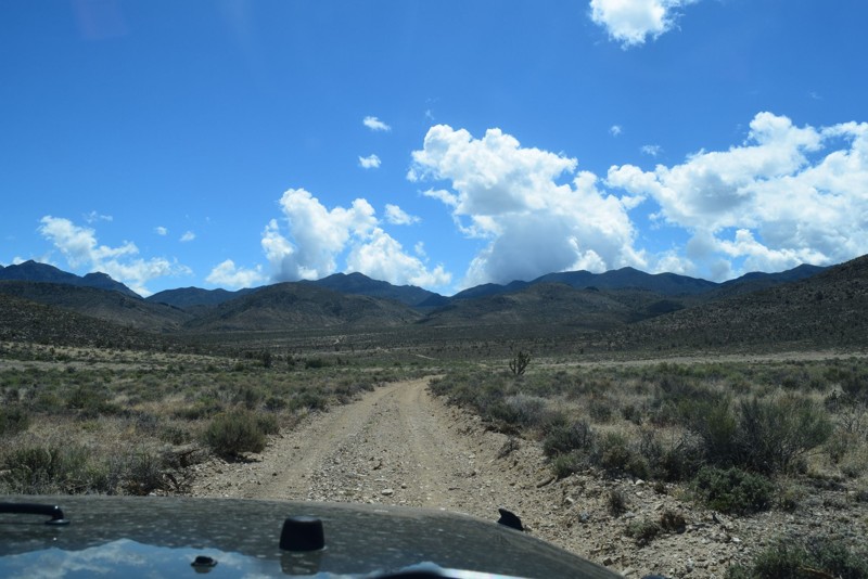
Running 11.7 miles off Highway 95 Alternate through BLM land to an area known as Clifton Flat. The trail passes through a remote, stark, sagebrush-filled valley. Clifton Flat is known for herds of wild horses and pronghorn antelope. The trailhead is an unlocked barbed wire wild horse protection gate south of Silver Springs. Clifton Flat begins on a graded dirt road. The trail descends and narrows to a double-track trail. The surface varies between smooth compacted dirt, mud, and rock rubble. The trail is generally level with gradual changes in grade.
The railroad crossing is active, so use look both ways. Several seasonal streambeds cross the trail. Caution is advised during storms and spring snow melts. Stock SUVs may catch and drag on loose rocks. High clearance and lifted vehicles are advised. This trail connects to the Wild Horse Trail.
Dispersed camping areas are available along Clifton Flat Trail. BLM camping and fire restrictions apply. Gas, food, and lodging are available 12 miles north in Silver Springs.
Updated: 06/05/2022
Deadhorse Road
Las Vegas, Nevada
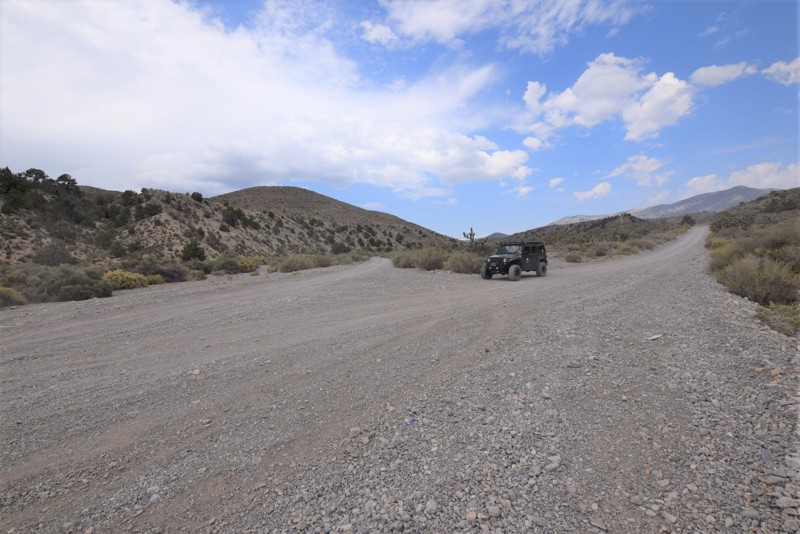
Dead Horse Road is a nice side trail off of Alamo Road in the National Desert Wildlife Refuge just North of Las Vegas. If you are looking for fairly remote place to hike, take photos, go for a picnic or camp; then this is a great place.
Please follow the link for more information on the Desert National Wildlife Refuge: http://www.fws.gov/refuge/desert/
Updated: 07/29/2023
Clark Canyon Road
Pahrump, Nevada
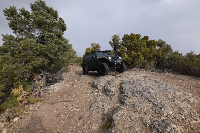
Clark Canyon Road is an offroad trail located in the Spring Mountains National Recreation Area, off of Wheeler Pass Road. This is a great trail for scenic views, tall trees with shade and an escape from the Las Vegas heat and desert scenery.
Updated: 11/17/2016
BM15 Road
Indian Springs, Nevada
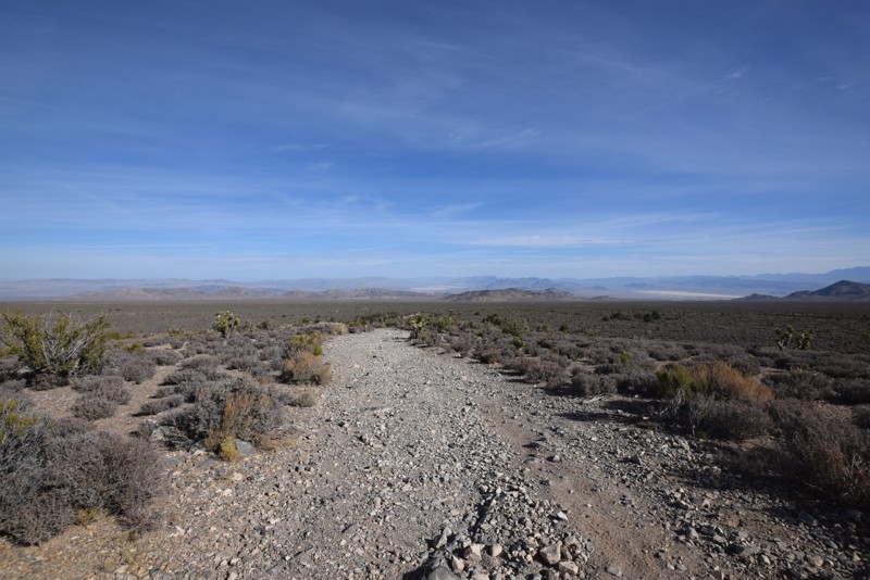
BM15 Road is an off-road trail that is a relaxing drive through a Joshua Tree forest with views of the surrounding mountains and valleys. As you continue on the trail and begin to increase in elevation, the Joshua Trees will begin to merge with the evergreen trees. This 4x4 trail offers multiple small campsites. This is a great trail to escape the heat of Las Vegas during the summer.
Updated: 06/05/2022
Mud Springs Road
Indian Springs, Nevada
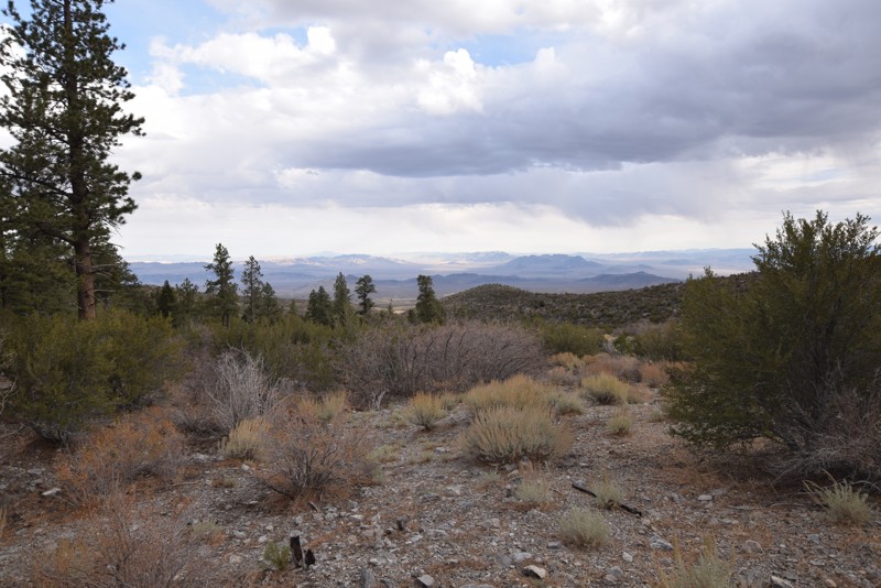
Mud Springs Road is an off-road trail that is a relaxing drive through a Joshua Tree forest with views of the surrounding mountains and valleys. As you continue on the trail and begin to increase in elevation, the Joshua Trees will begin to merge with the evergreen trees. This 4x4 trail offers multiple small campsites and a larger site at the end. This is a great trail to escape the heat of Las Vegas during the summer that is off the beaten path.
Updated: 01/16/2019
Camp Bonanza Road
Indian Springs, Nevada
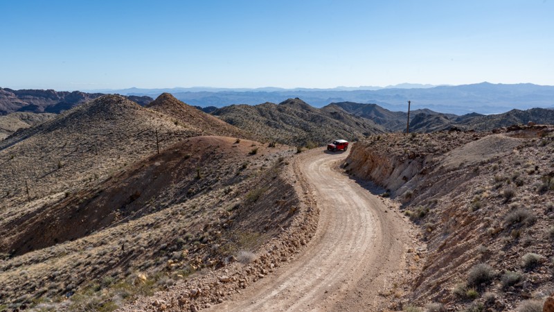
Camp Bonanza Road is an off-road trail that is an easy, relaxing drive just outside of Cold Creek. This trail offers views of the surrounding mountains and valleys, as the trail increases in elevation, the evergreen trees with become more prominent. There are multiple medium campsites along this 4x4 trail with a large campsite and a hiking trailhead at the endpoint. This is another great trail to escape the heat of Las Vegas during the summer.
Updated: 12/18/2024
Nelson Cutoff
Nelson, Nevada
Hidden within the Eldorado Mountains southeast of Las Vegas, Nelson Cutoff, also known as "The Backway to Nelson," is a pavement-avoiding drive into a hauntingly captivating slice of history: the ghost town of Nelson. This once bustling mining town was a hub for gold and silver miners in the late 19th century. With a reputation for being one of the most violent and lawless mining towns of its time, legend has it that law enforcement completely avoided the town of Nelson. The Great Depression left the town nearly abandoned, and it wasn't until the late 1990s that it became a tourist hotspot. Whether you're a history buff, an intrepid explorer, or simply seeking a break from the hustle and bustle of modern life, Nelson offers an experience unlike any other. Come, lose yourself in the echoes of the past, and discover the magic of this enchanting ghost town.

Upgrade your Membership
Unlock all of the details on every Trail Guide and Scout Route.
Start a 7-day Free TrialBrowse Trails in Nevada by City
Browse every Nevada city with offroad trail guides.
Community
Partners

