



By clicking "ACCEPT", you agree to be the terms and conditions of each policy linked to above. You also agree to the storing of cookies on your device to facilitate the operation and functionality of our site, enhance and customize your user experience, and to analyze how our site is used.
Nevada Off-Road Trails
93
Total Trail Guides 87

987
Detailed Waypoints 129
Try a Free 7-Day Trial and unlock it all
Start a Free Trial Most Recent Trail Reviews
Rated 3/5
Open
Visited: 09/15/2026
Unfortunately Kodachrome Road appears to have been recently graded. The fins have more or less been obliterated, leaving mostly a crush box. The deeper rutted section of the wash on the Vegas site has...

H
HotRatShit
Rated 1/5
Open
Visited: 09/12/2026
The rock fins are no longer there.. I’m not sure if they were washed out or were removed by someone. If the landmark wasn’t marked on the map I’d never actually know there were rock fins. I ran the wh...
Mario
Rated 5/5
Open
Visited: 09/11/2026
awesome place to camp and for a day trip . the trail is smooth. but gets busy on the weekends.

Dex Offroad
Rated 5/5
Open
Visited: 09/06/2026
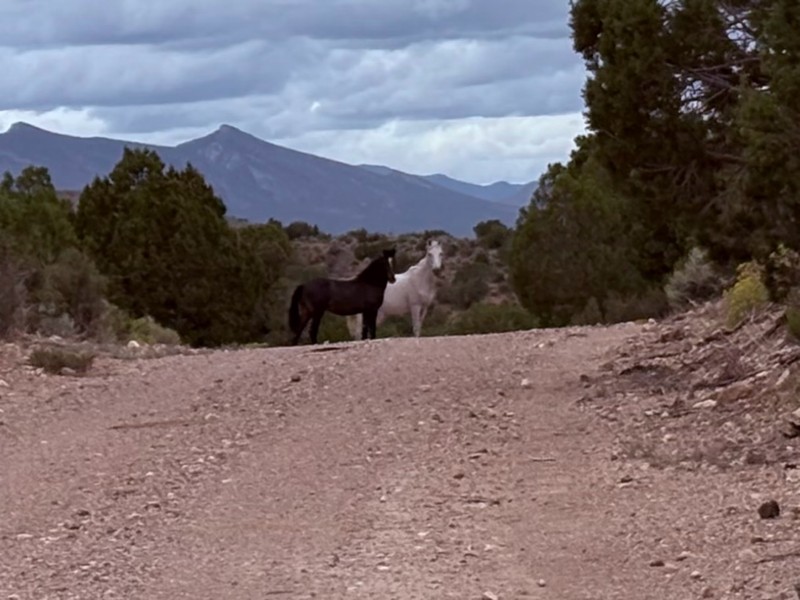
Very quiet scenic drive with lots of off shoot trails to forested areas for dispersed camping. Many other trails in the area to connect with including the Silver State Trail.
KB
Kevin Bigley
Rated 4/5
Open
Visited: 09/06/2026
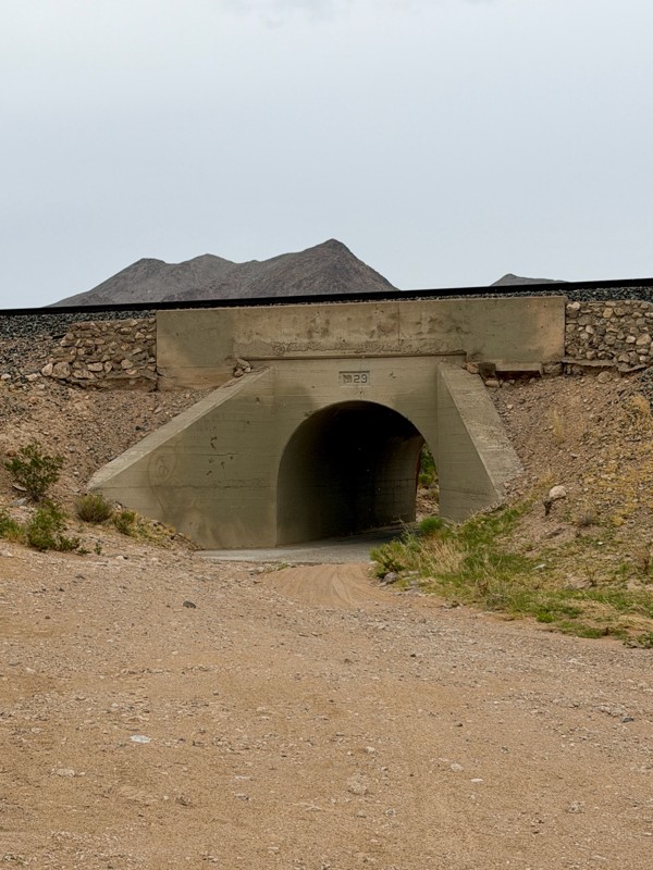
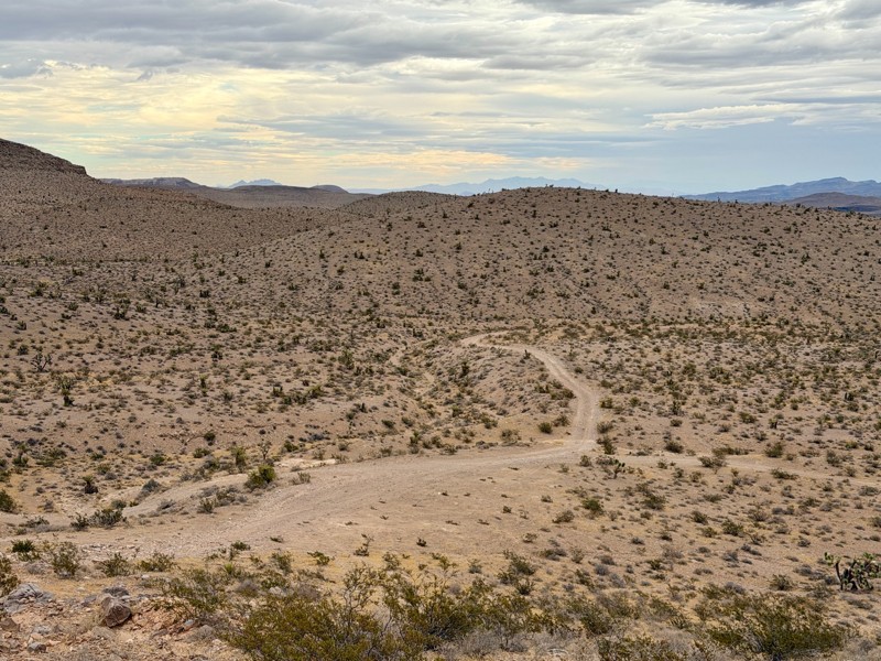
Railroad Canyon is a short rock crawling trail that is super close to Las Vegas. Easy trail acceess is made off the south end of Las Vegas Blvd. Begin by heading under the interstate overpass and th...

Bill
Rated 5/5
Open
Visited: 09/04/2026
Just as described. Ran it West to East. Camped at the campground. Stars were amazing. Saw no one entire time.
KB
Kevin Bigley
Rated 2/5
Open
Visited: 08/27/2026
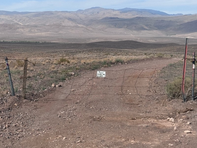
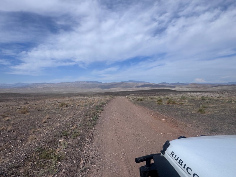
For the most part, this road is not graded. There were some sandy spots and water obstacles ( some avoidable and others not).
The last 1/3 of the trail that ends at Wild Horse Trail was pretty rough ...
Kim Soucek
Official Crew
No Rating
Open
Visited: 08/27/2026
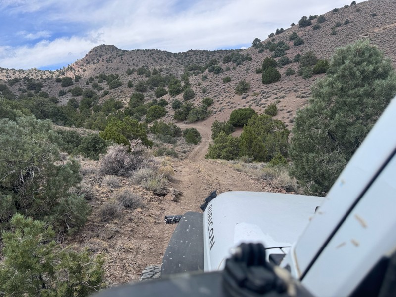
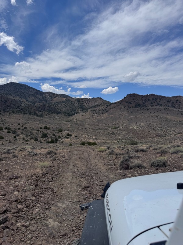
This trail is so fun! Twisty turns and steep drops and climbs- with beautiful rugged back country scenery the whole way.
On the Dayton side descent, I was rewarded with majestic views of the mountai...
Kim Soucek
Official Crew
No Rating
Open
Visited: 08/20/2026
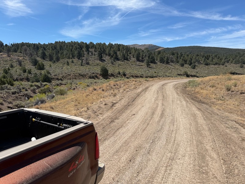
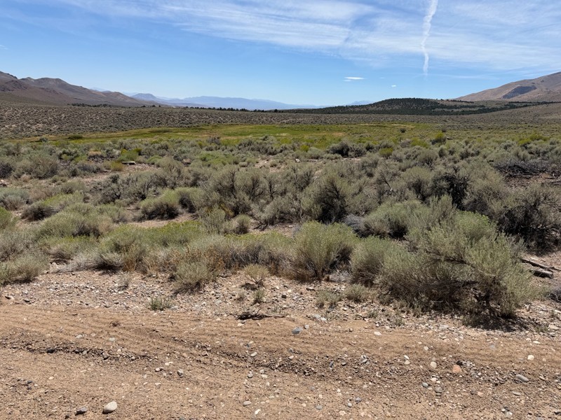
I’m new to this and don’t know what folks consider graded but to me this is not a graded road. Maybe it’s my truck but this route today was about 1/4 smooth and the rest was moderately very bumpy. Lot...
DD
Darius Davenport
No Rating
Open
Visited: 08/19/2026
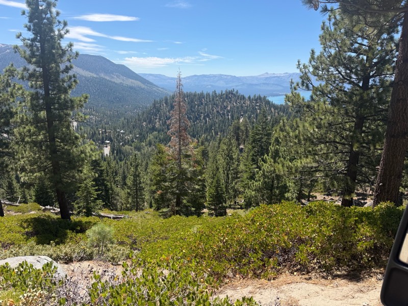
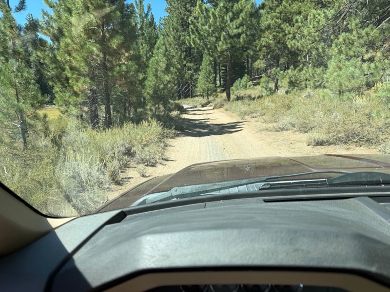
I rode Genoa Peak road from SR 50 to Logan Loop which brings you back to Genoa Peak and then south until Kings Berry Grade. I’m a very experienced driver but new to off roading. I actually wouldn’t ca...
DD
Darius Davenport
No Rating
Open
Visited: 08/11/2026
Per the MVUM, the trail is seasonally open. As always, check current fire restrictions/closures before venturing out.

Trails Offroad
Official Crew
Rated 3/5
Open
Visited: 08/10/2026
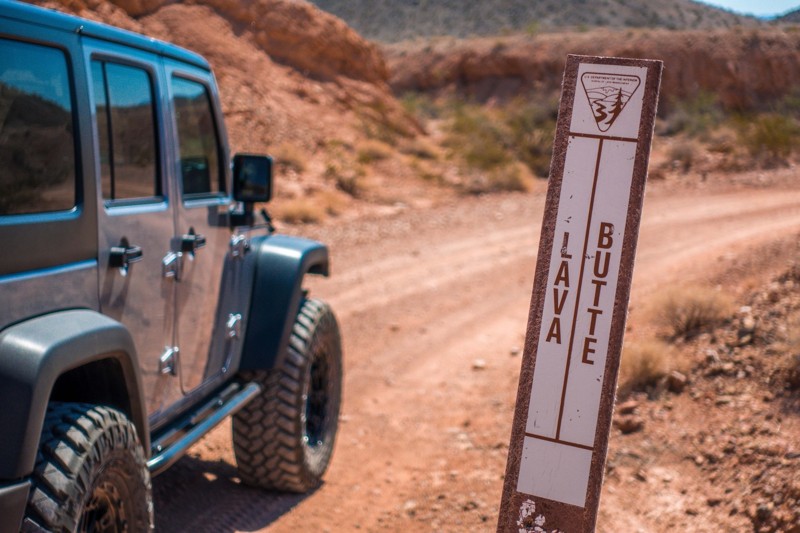
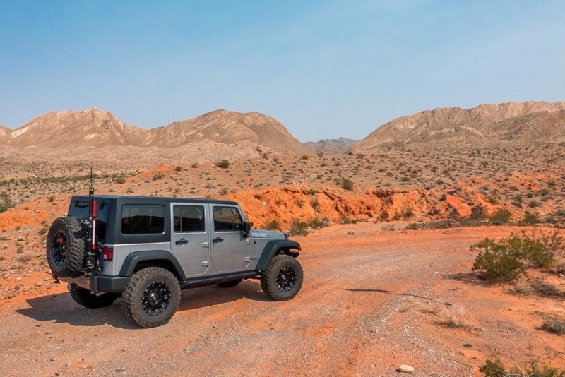
This is a quick and easy trail that is close to town. The trail is well groomed and accessible for beginners or stock rigs. Open desert landscape with volcanic rock all around here. Take the trail...
Bill
Rated 4/5
Open
Visited: 07/29/2026
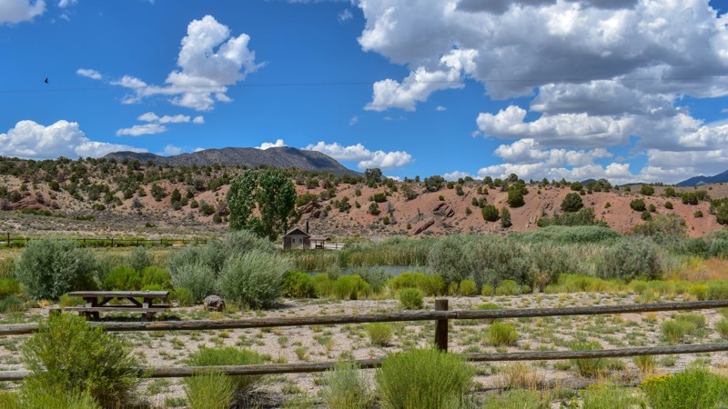
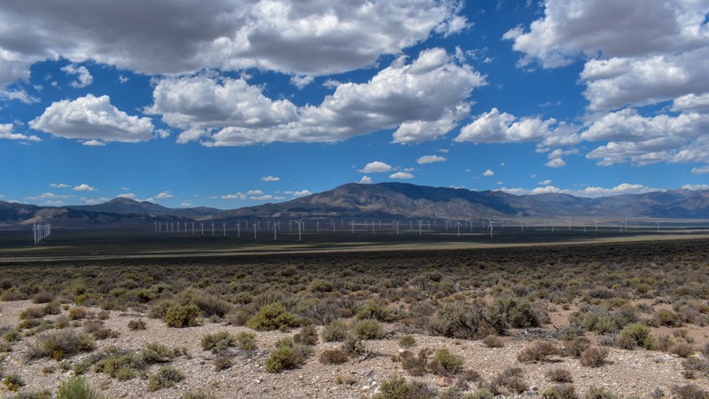
Something has always drawn me to this area. I’ve been coming out here for nearly 15 years prospecting and mining. The pond at Sacramento Pass is stocked, and I’ve had a decent dinner from what I caugh...

Cory Wooldridge
Official Crew
Rated 4/5
Open
Visited: 07/29/2026
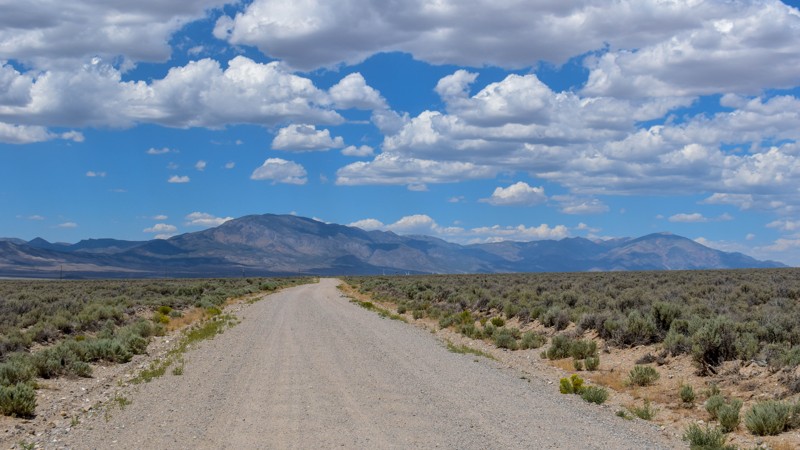
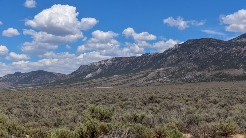
This trail gets 4 stars, not for the trail itself but for the access it provides. We have camped up Willard Creek Rd many times over the years. The lower site along the creek currently doesn’t have mu...
Cory Wooldridge
Official Crew
Rated 3/5
Open
Visited: 07/29/2026
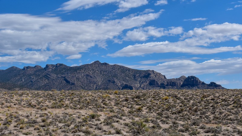
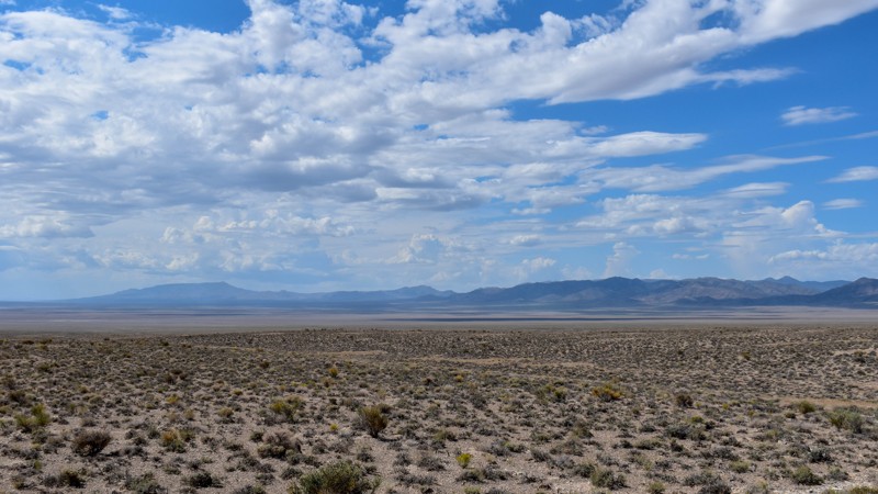
We love exploring old mines and ghost towns, even if only from the road. The west side of the Snake Range is rich in mining history, with silver and tungsten at the extremities and gold at the heart i...
Cory Wooldridge
Official Crew
Rated 3/5
Open
Visited: 07/29/2026
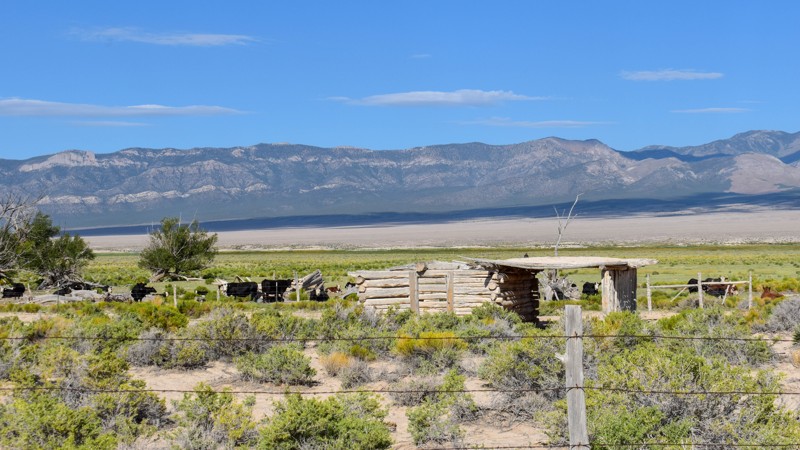
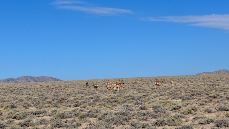
The old cabin and well way out in the middle of the valley were a neat surprise. There was a herd of antelope that was happy to stare back at us as we stopped to take pictures. The high-water line and...
Cory Wooldridge
Official Crew
Rated 3/5
Open
Visited: 07/28/2026
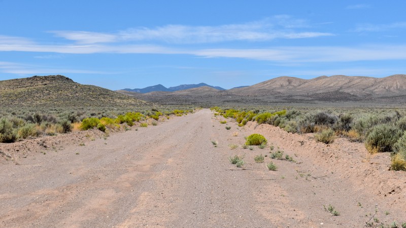
I love how smooth some of these roads are, the lack of trash, ruts, potholes, etc, make so many of these roads out here that much more enjoyable. Not much to see along this trail, but the distant view...
Cory Wooldridge
Official Crew
Rated 4/5
Open
Visited: 07/27/2026
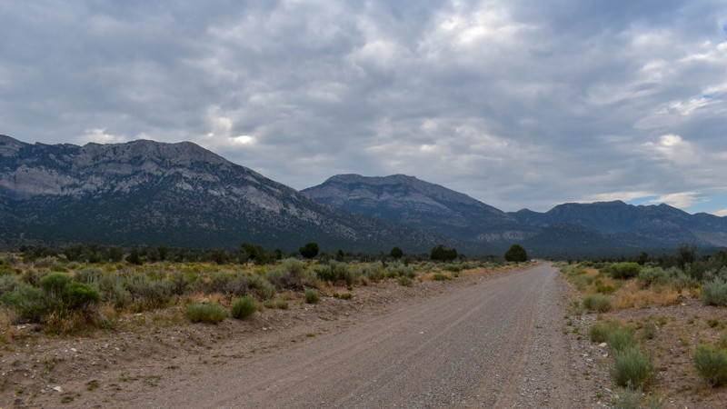
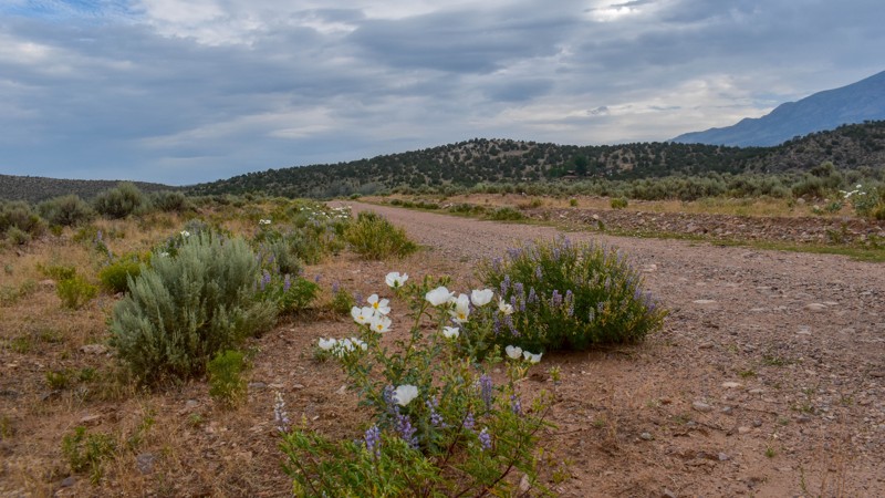
This is a gem of a dirt road. The entire network of trails south of Ely has been a fun week to explore, and North Cave Valley Road delivered an easy stretch of dirt that carried us for miles through o...
Cory Wooldridge
Official Crew
Rated 4/5
Open
Visited: 07/27/2026
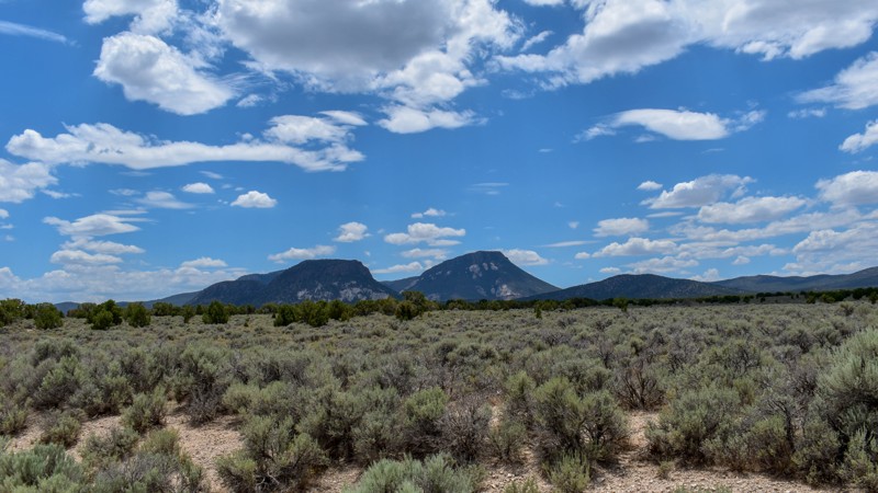
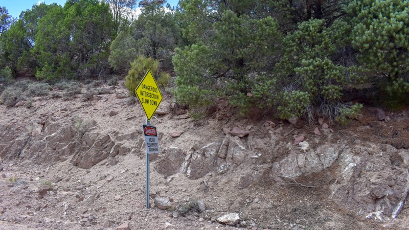
I love the way the clouds cast shadows, dotting the valley flow and framing the mountain ranges in different perspectives as time passes. The jagged mountains were neat, the horses were active as we m...
Cory Wooldridge
Official Crew
Rated 3/5
Open
Visited: 07/27/2026
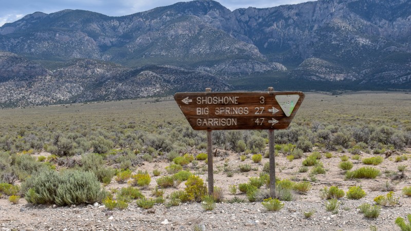
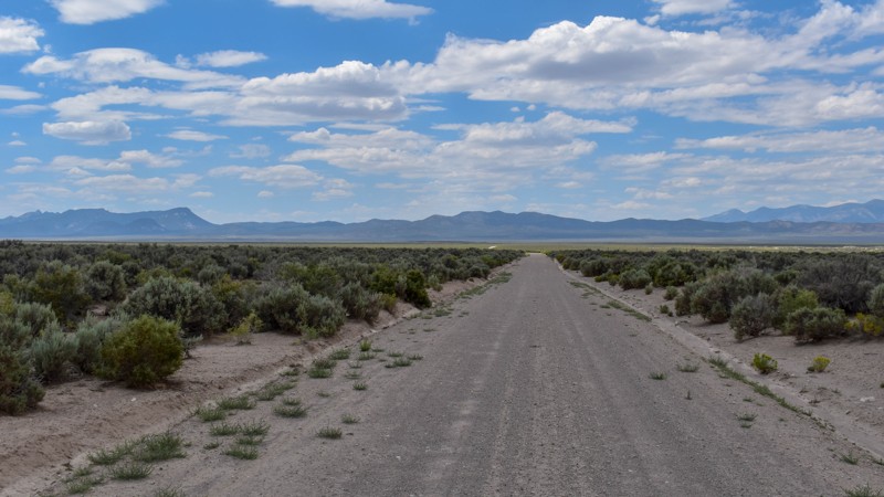
Its a beautiful, open trail with picture perfect tall sagebrush and the east and west ends, with small sage in the low lying valley named Baking Powder Flat. There were some quarry work areas which ma...
Cory Wooldridge
Official Crew
No Rating
Open
Visited: 07/26/2026
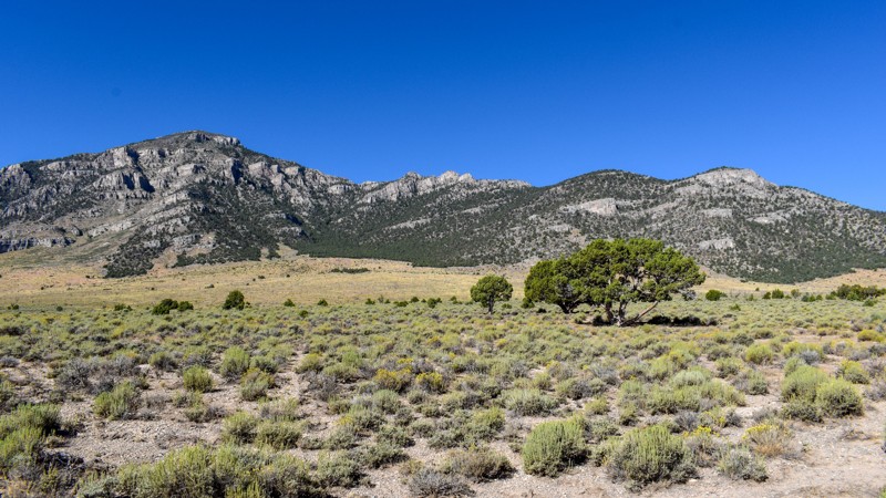
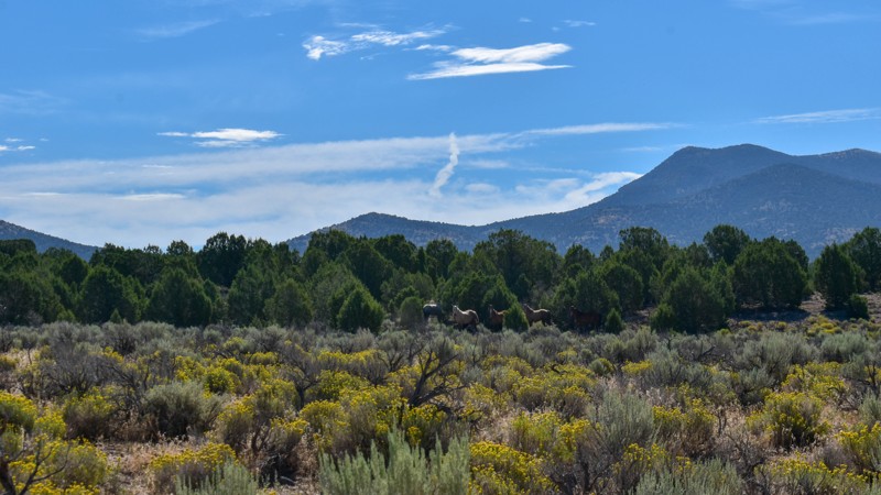
This trail is between a 4 and 5 star for me. I love the changing scenery and juniper tress. Seemingly endless valleys with mountains bordering the trail, groups of wild horses, easy dirt road. One win...
Cory Wooldridge
Official Crew
Rated 4/5
Open
Visited: 07/26/2026
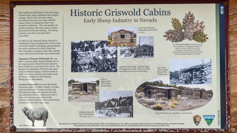
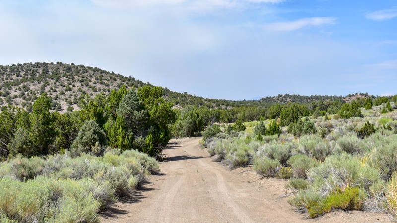
The history along this trail was a pleasant surprise. The scenery was nice, a couple of old small ruins barely visible through the sage to the west of the road, and a larger stacked wall to the west n...
Cory Wooldridge
Official Crew
Rated 3/5
Open
Visited: 07/26/2026
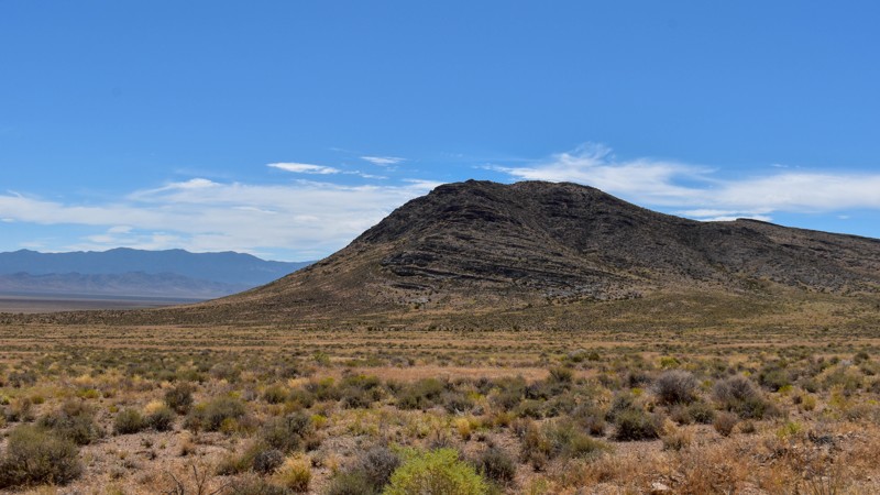
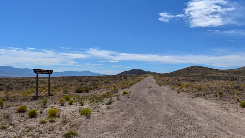
Another connector trail with gorgeous views and Coyote Spring or Stonewall Spring depending on your map at the south end. It's nice and green at the spring, but fenced and private property. Not much t...
Cory Wooldridge
Official Crew
Rated 3/5
Open
Visited: 07/26/2026
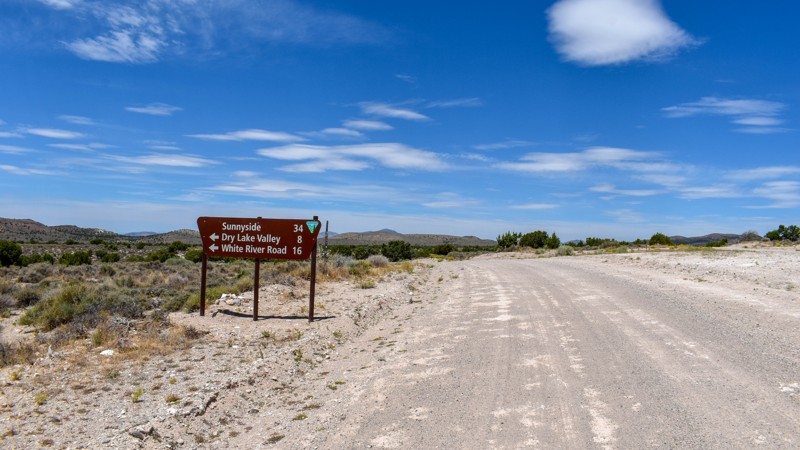
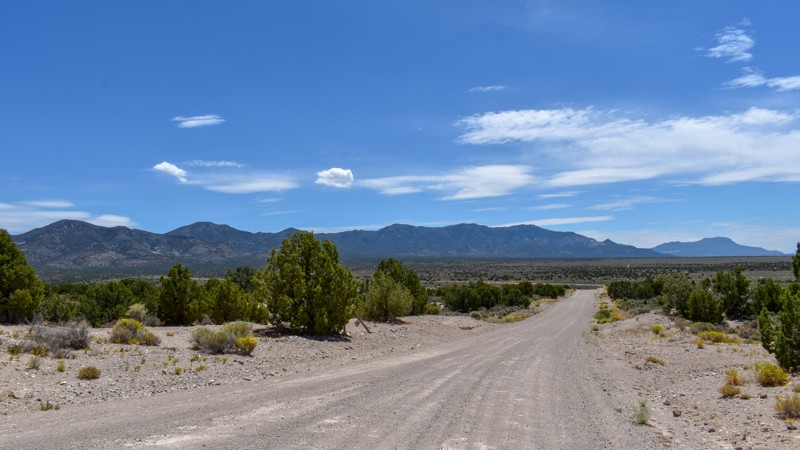
We camped in Spring Valley between Pioche and Ely for a week and went to the hot springs a couple of times taking different paths each time, this was by far the quickest and easiest way across. The vi...
Cory Wooldridge
Official Crew
Rated 3/5
Open
Visited: 07/26/2026
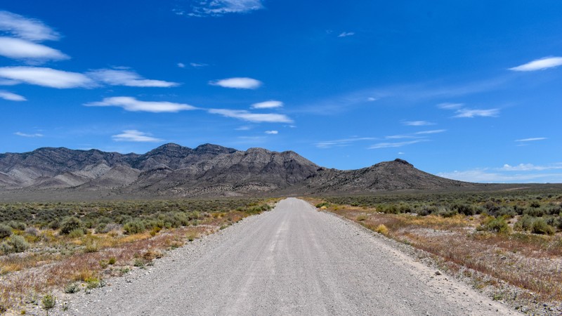
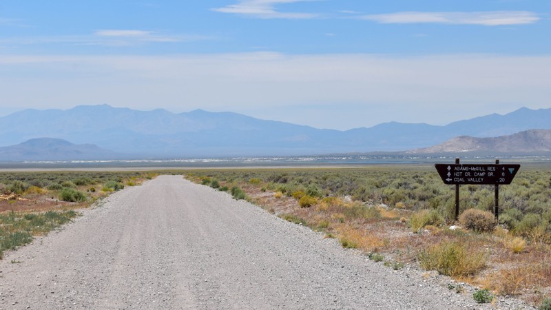
We've passed by this road when coming up from the south to go to Hot Creek and used the main entrance further north several times not knowing this was here. Coming up from the south this cuts off a li...
Cory Wooldridge
Official Crew
Rated 3/5
Open
Visited: 07/24/2026
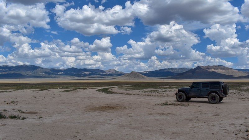
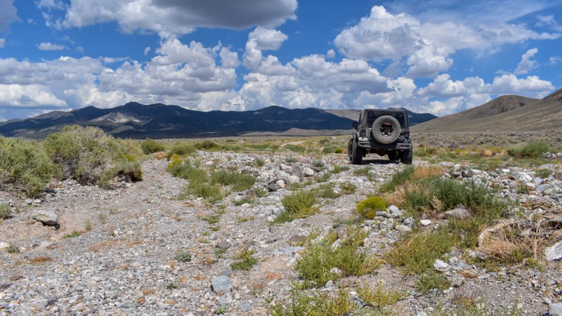
The maps imply this was once a decent road, either end of it still are, but the middle is not. There are sections where any trace of the road has been washed away into rocky gravel stream beds, with p...
Cory Wooldridge
Official Crew
Rated 5/5
Open
Visited: 07/24/2026
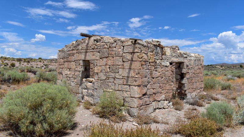
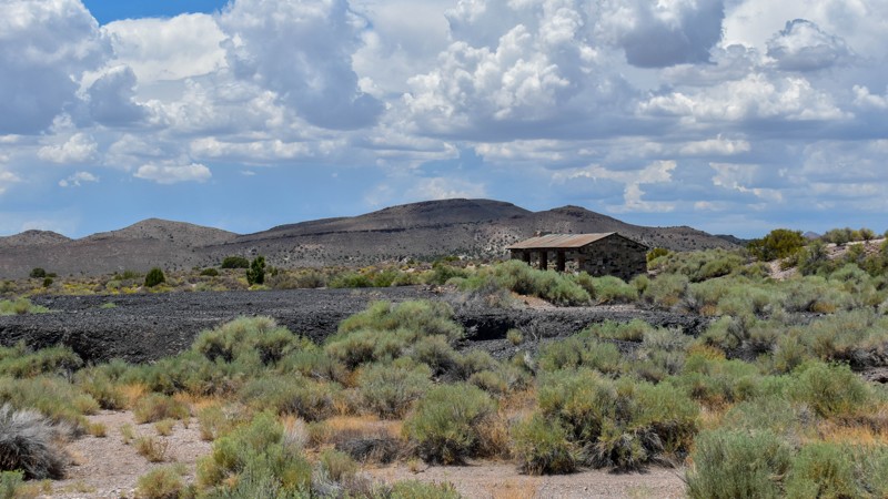
The maps of this area are very confusing and contradictory. Researching this trail, the trail name should have reached the old ghost town site, which at the time of mapping I thought was only a local ...
Cory Wooldridge
Official Crew
Rated 2/5
Open
Visited: 07/24/2026
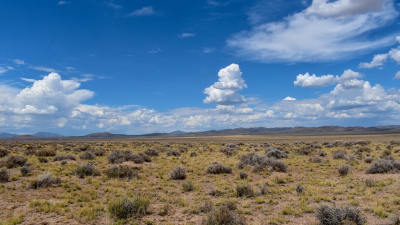
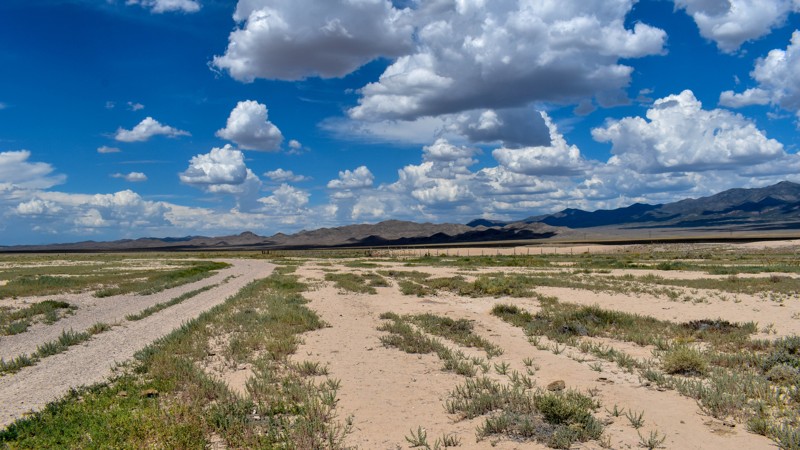
Forget the photos in the first review, pics here, notes there.
Cory Wooldridge
Official Crew
Rated 2/5
Open
Visited: 07/24/2026
This trail does offer expansive views, although not as exciting as others. There was a herd of antelope at Bullfrog Reservoir, which to us desert dwellers is called a tank, an earth berm with what I a...
Cory Wooldridge
Official Crew
Rated 3/5
Open
Visited: 07/24/2026
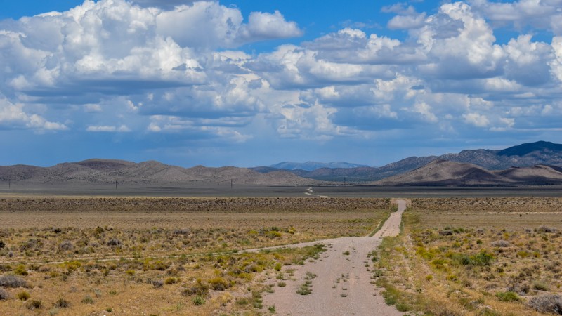
We got spoiled with the more northern mountainous trails, this one is a good connector during the dry months to get somewhere else in Cave Valley. The charcoal ovens though, are absolutely worth the t...
Cory Wooldridge
Official Crew
Rated 3/5
Open
Visited: 07/24/2026
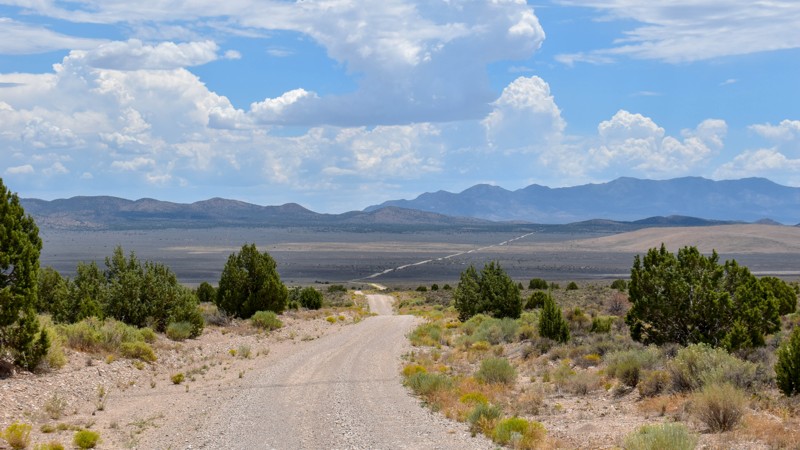
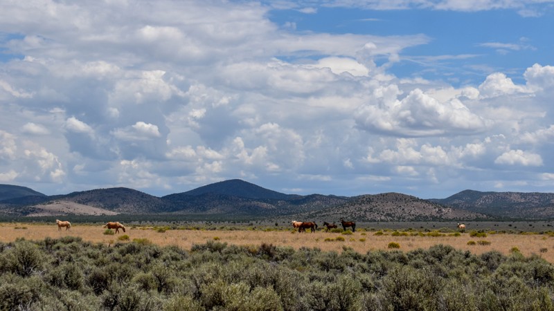
The wild horses and the old smelter slag, cabins, and charcoal ovens in the distance were the trail highlights for us. I prefer the trails further north for the scenery and vegetation, but the wild ho...
Cory Wooldridge
Official Crew
Rated 4/5
Open
Visited: 07/24/2026
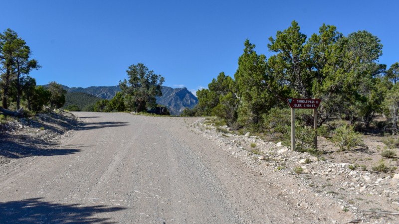
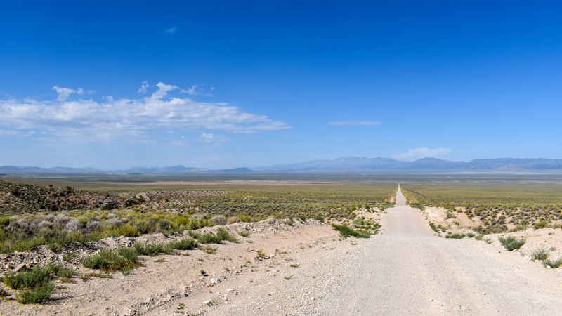
We took Patterson Pass Rd to Shingle Shortcut and onto Shingle pass to get to the Hot Spring Creek across the 318 near Dave Deacon campground. The ride was easy going, enjoyable and pretty. Several bl...
Cory Wooldridge
Official Crew
Rated 3/5
Open
Visited: 07/24/2026
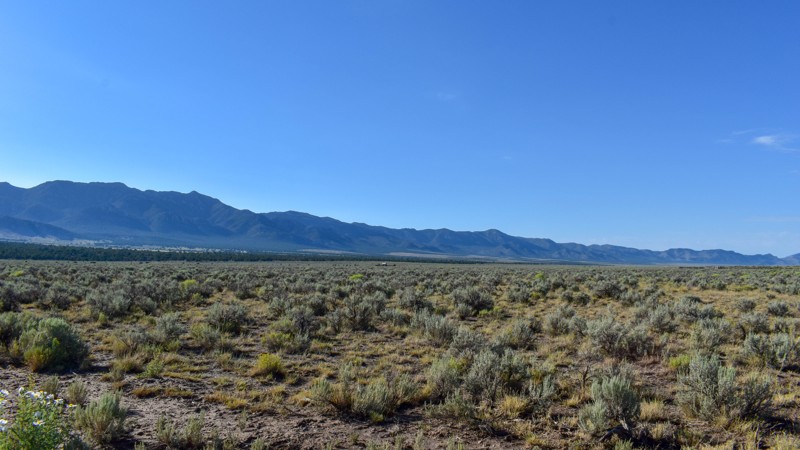
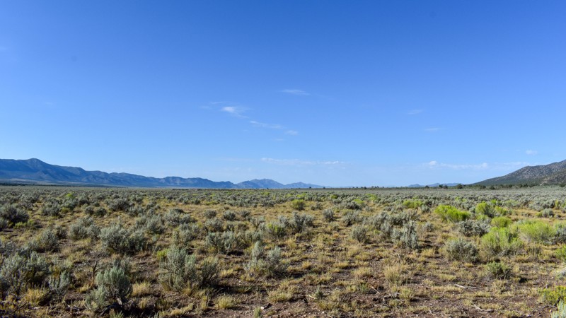
Compared to the surrounding trails, I gave this a 3 star rating. It is still a pretty trail. I do not like mud, and the low lying areas are that type of slick silty mud that could easily cause issues....
Cory Wooldridge
Official Crew
Rated 5/5
Open
Visited: 07/23/2026
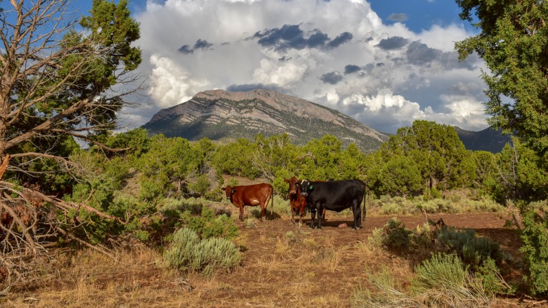
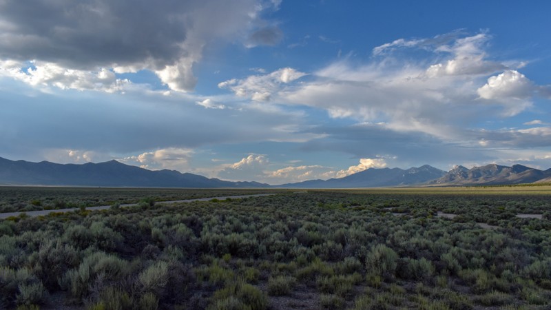
This trail was gorgeous. I like the scenery and the feel of the higher country trails in the northern area of Cave Valley more so than the southern. All in all, I haven't found any flat out boring roa...
Cory Wooldridge
Official Crew
Rated 4/5
Open
Visited: 07/23/2026
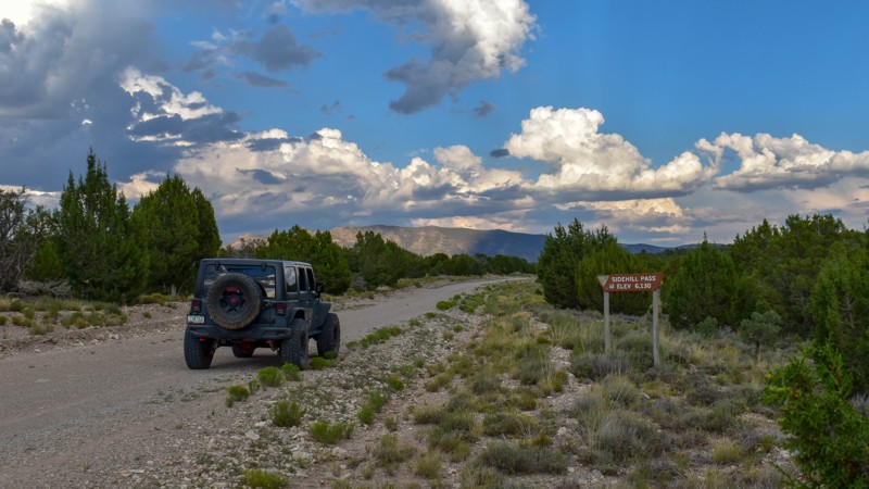
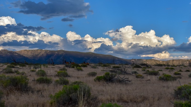
This trail had the most wildlife of any of the trails on this trip. We saw multiple elk, deer, and pronghorn antelope. Overall, this is a very pretty drive, and the easiest access from the east into C...
Cory Wooldridge
Official Crew
Rated 5/5
Open
Visited: 07/23/2026
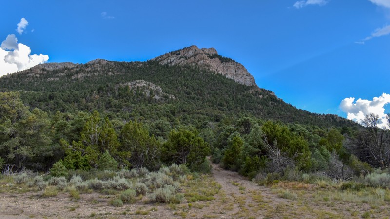
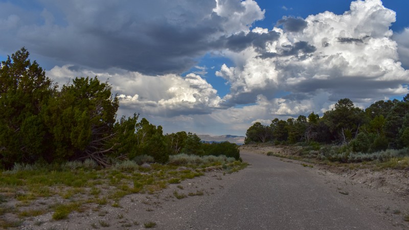
We've camped at Patterson Pass several times, but this was the first time exploring into Cave Valley. This area is gorgeous, the roads were just my style, and the weather was great. The evening monsoo...
Cory Wooldridge
Official Crew
Rated 4/5
Open
Visited: 07/12/2026
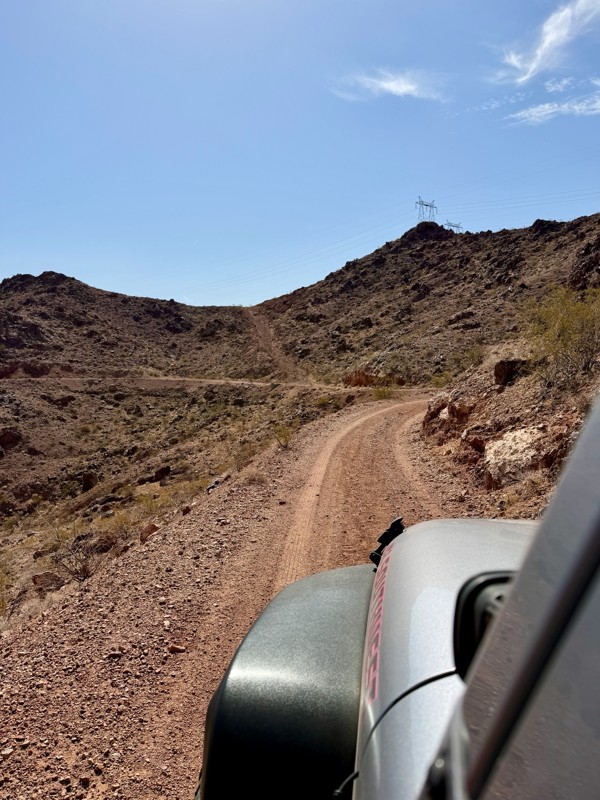
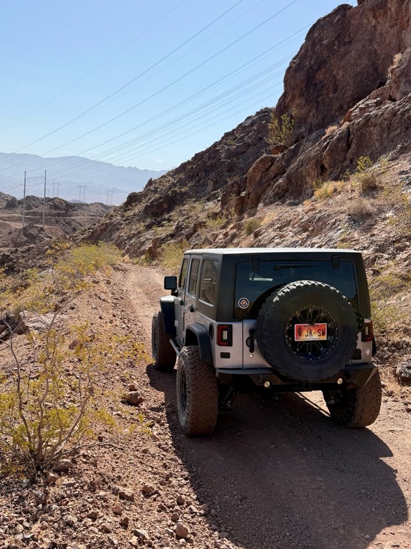
This is a short but exciting trail. You begin by climbing a series of rocky switchbacks that serve as access to the powerlines that tower above you. Don’t get distracted by the scenic views of Lake ...
Bill
Rated 5/5
Open
Visited: 07/06/2026
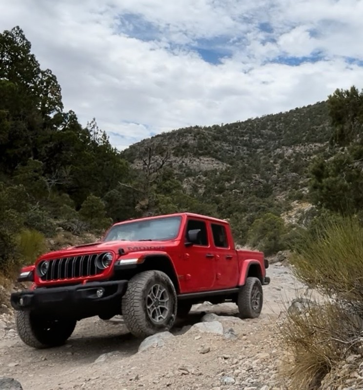
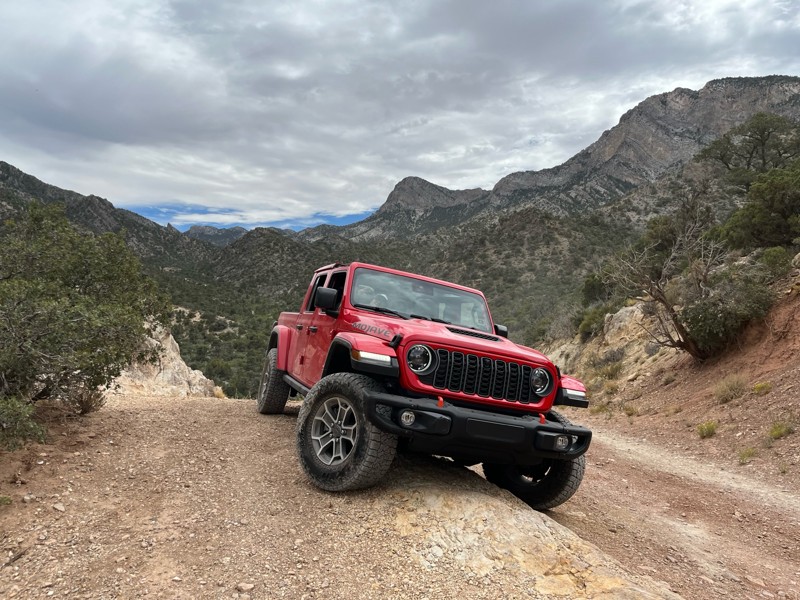
Really Rocky Road - Lift Kit recommended
EC
Edgar Carrillo
No Rating
Open
Visited: 06/29/2026
Joined this at Waypoint 12 of Potosi Pass Road. This isn’t a trail; it’s a four lane wide, mostly gravel, well graded, racetrack. Watch out for locals running at high speeds. It’s worth taking it t...
KN
Karen Nowak
No Rating
Open
Visited: 06/28/2026
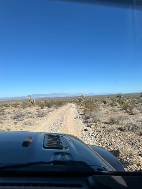
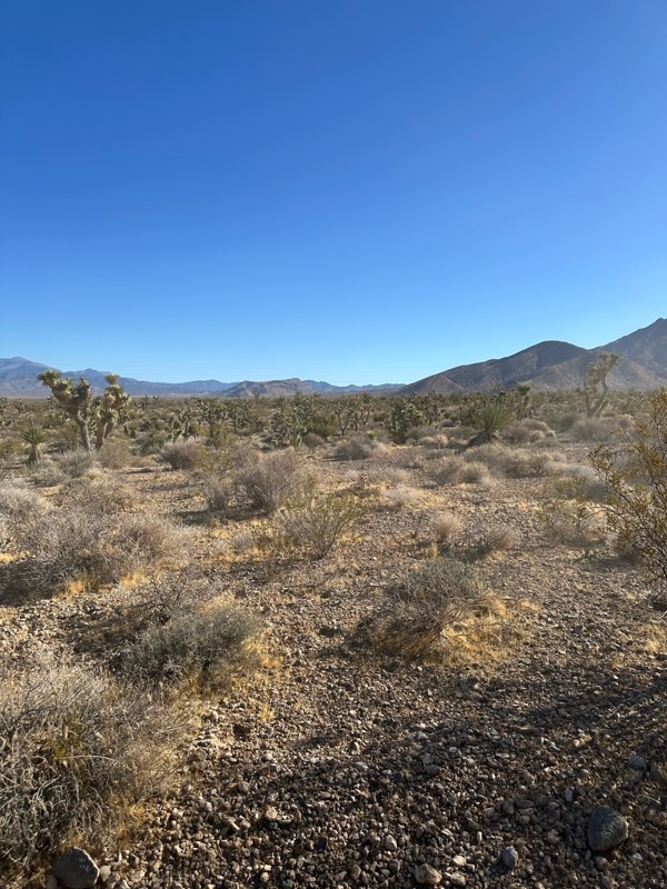
Have done this route before and the problem with Google sending you off course to get to the trailhead off Highway 160 has been solved. It now finds the Potosi historical marker and its attendant le...
KN
Karen Nowak
Rated 5/5
Open
Visited: 06/21/2026
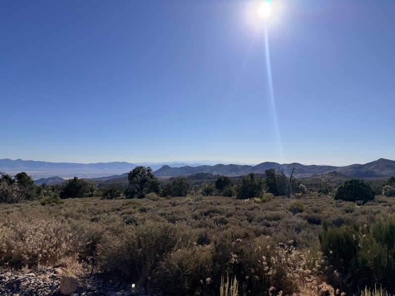
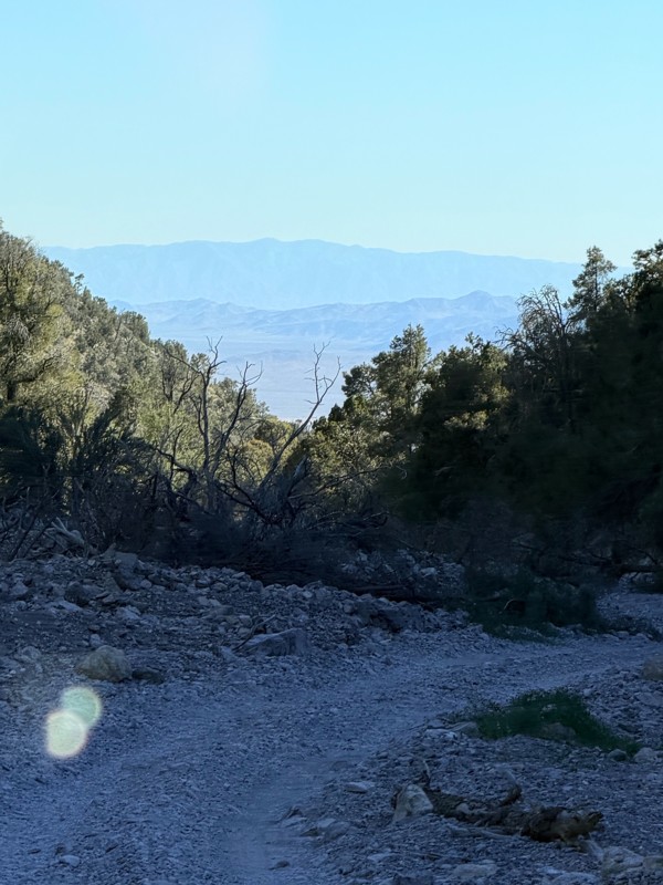
pretty easy trail with really awesome camping opportunities!
AK
Abby Kersey-Mendez
Rated 5/5
Open
Visited: 05/31/2026
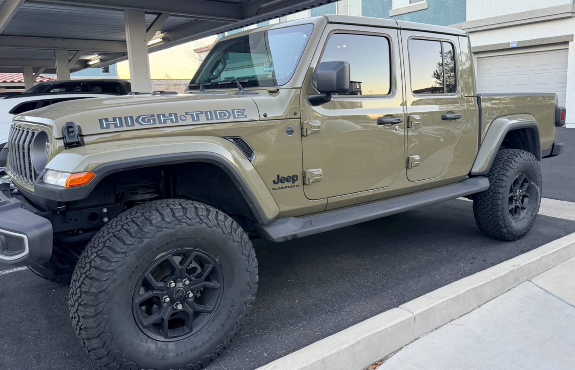
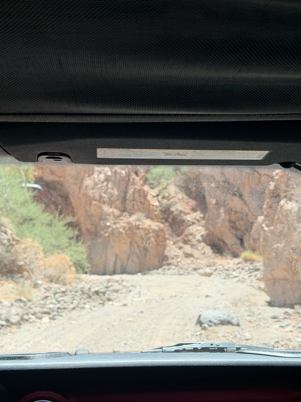
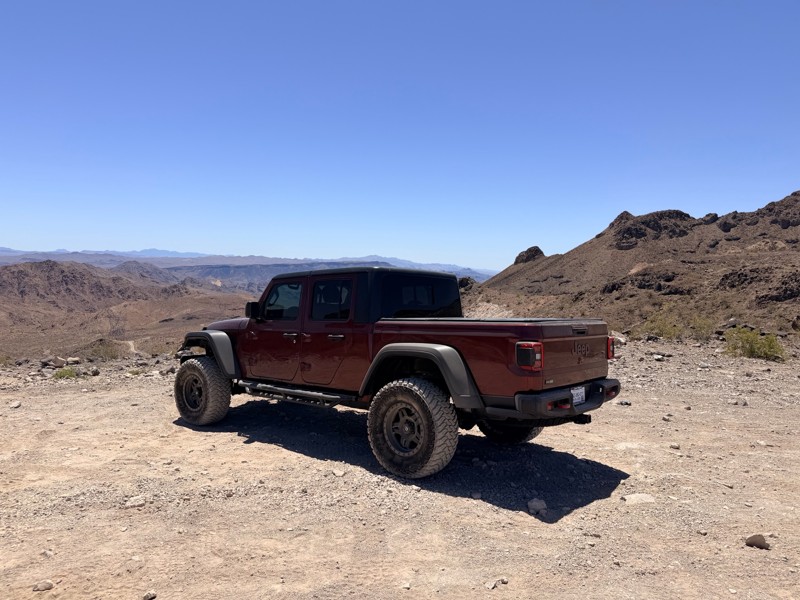
harder than we expected. drove a jeep gladiator for the first time. we got through it but the end was a bit dicey.
AK
Abby Kersey-Mendez
Open
Visited: 05/25/2026
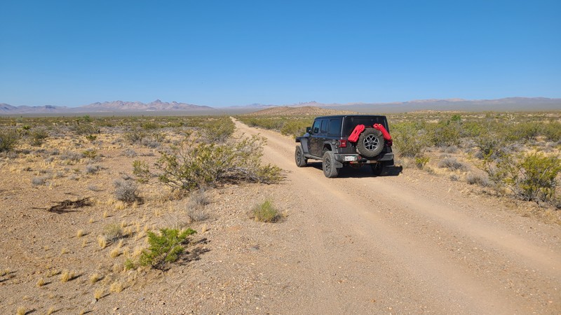
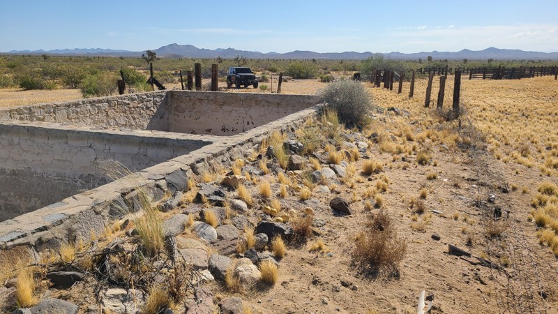
When hiking, watch out for the Cholla cactus and its spines. These are no joke. The microscopic thorns fishhook-like barbs that are very difficult to remove and even stick to your hands when trying ...

Robert
Official Crew
Rated 5/5
Open
Visited: 05/24/2026
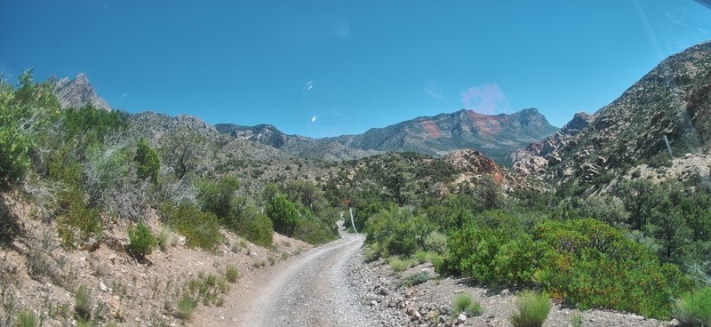
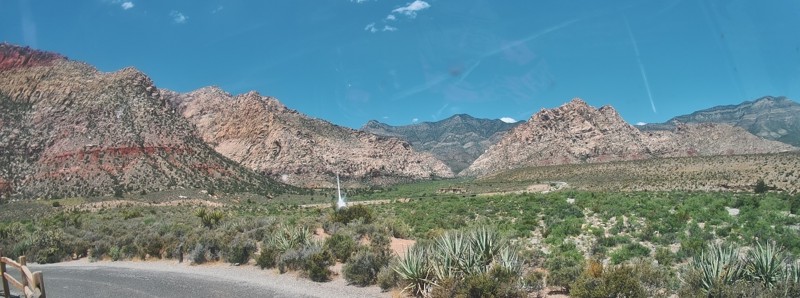
Completed this trail in my Gladiator Rubicon with a 2" lift and 35" tires. It was a pretty easy trail and found the rock Garden a nice challenge and had no problems getting through it. The trail was v...

PBenn
Rated 5/5
Open
Visited: 05/23/2026
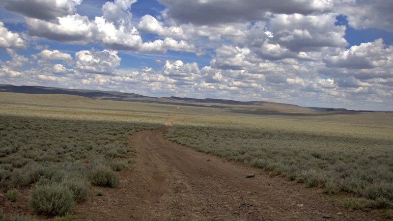
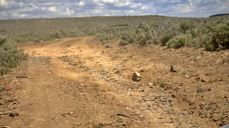
We used High Rock Canyon Road to reach the northern entrance of the High Rock Canyon Trail, and it was a great way to kick off the adventure. While the road isn't particularly difficult, the sweeping ...

Rose Meirs
Official Crew
Rated 5/5
Open
Visited: 05/23/2026
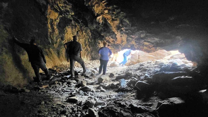
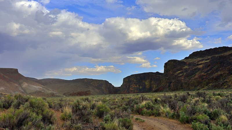
We tackled this trail with a group of six Jeeps and a Colorado ZR2 Bison, and while the route is not particularly difficult, it delivers plenty of adventure along the way. Expect narrow sections where...
Rose Meirs
Official Crew
No Rating
Open
Visited: 05/22/2026
Ran this trail from west to east. The turn off from Sandy Valley Road is easy to miss. The whole area is rich in mining history so it’s interesting to explore.
KT
Ken Turzinski
Rated 5/5
Open
Visited: 05/18/2026
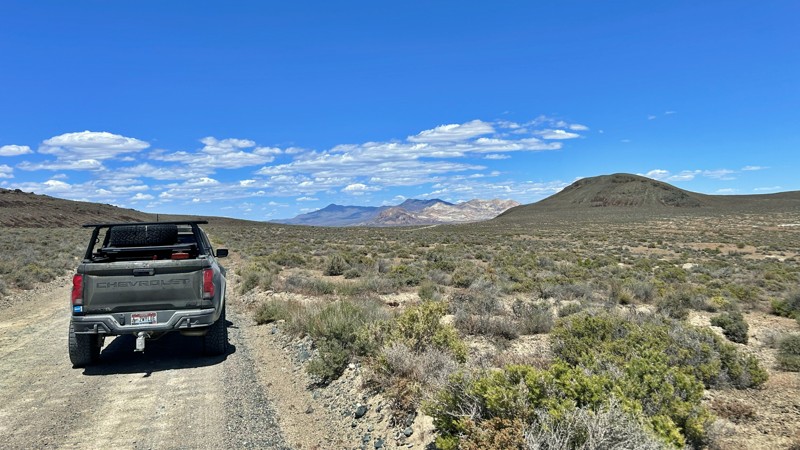
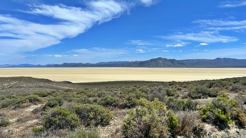
Our group used Soldier Meadows Road as the gateway to our basecamp and as the main route for exploring the incredible Black Rock Desert and High Rock Canyon region. Be prepared for plenty of washboard...
Rose Meirs
Official Crew
Rated 5/5
Open
Visited: 05/18/2026
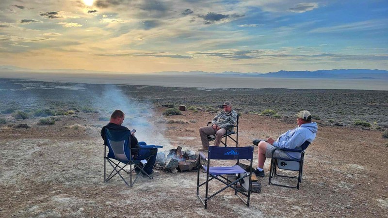
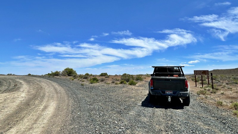
I chose this trail as our base camp and staging area for a Memorial Day weekend adventure exploring the Black Rock Desert and High Rock Canyon. It turned out to be the perfect spot for our group, acco...
Rose Meirs
Official Crew
Rated 5/5
Open
Visited: 05/18/2026
Glad to see this trail open again! Ran in about 3 hours and thoroughly enjoyed it.
Trail will be closed again September 2026 for further repair, so get out there while it's open!

Danny Britton
Most Popular

Updated: 10/15/2024
4324a
Austin, Nevada
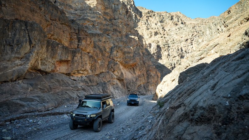
FR 4324A is a short spur trail with incredible views! There is no camping directly on this steep, narrow trail, but there is in the immediate area. The trail begins near Stokes Castle, a historical landmark with a dispersed campsite next to it. This is an interesting spot if you are into mining history and great views.
Updated: 04/18/2023
Badger Spring and Tickaboo Mountain Trail
Alamo, Nevada
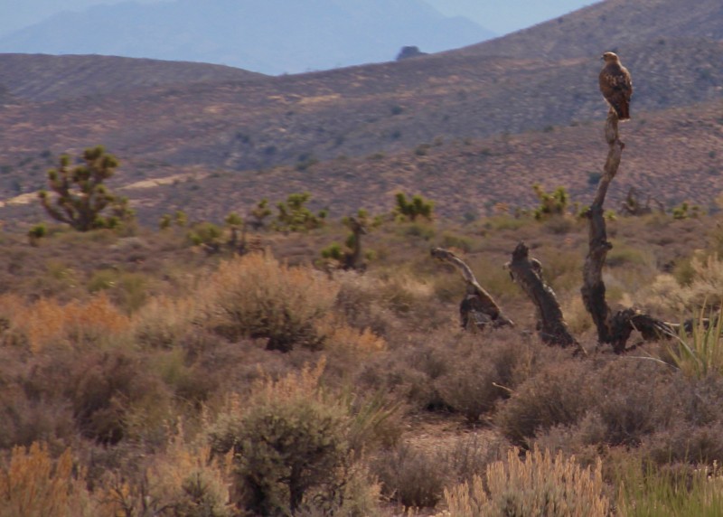
The Badger Spring & Tickaboo Mountain Trail is a short spur off the Badger Valley Loop trail. It climbs from the Joshua tree forests of the high desert to the pine forests associated with the mountain ranges.
The Tickaboo Mountain Hiking trail offers some amazing views west into the atomic test site and beyond that the famous Area 51.
The area supports abundant wildlife from bighorn sheep to wild horses. Due to the elevation it is also a good place to escape the summer heat.
Click here for BLM Nevada
Updated: 12/13/2022
Falling Man
Mesquite, Nevada
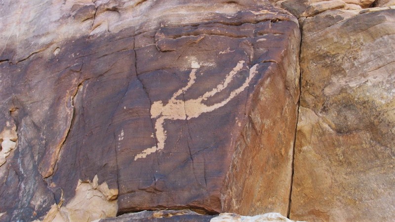
Located within the remote Gold Butte National Monument, the Falling Man petroglyph site is where you can view over 100 different examples of ancient rock art. The area gets its name from the most unique glyph in the area, an image of a person that appears to be falling. Most of the artwork in the area is of the native wildlife and other geometric shapes, so the image of a falling man is very unique. The trail to reach the site is relatively easy, but it does require high clearance and durable offroad tires. There is a fenced-off parking area marking the hiking trail leading to the many white & red sandstone cliffs. As you easily walk through the many stone outcroppings, you have to keep an eye out for all the hidden artwork in the area.
Updated: 09/14/2026
Cherry Creek Summit
Adaven, Nevada
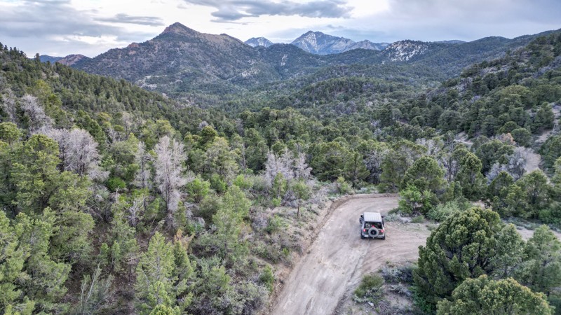
Located entirely within the Humbolt National Forest, Cherry Creek Summit is a narrow mountain road that winds through scenic canyons and rock formations. Most of this dirt trail is surrounded by pine and cedar forests, with small spring-fed creeks flowing throughout.
The road's east end begins with a one-lane bridge and continues along private property on one side for a short distance. From east to west, the trail ascends into the mountain, becoming more of a shelf road, limiting the ability of oncoming traffic to pass safely.
Multiple pull-offs along the road have open camping areas, including FR 59411, which has the Cherry Creek primitive campground. There is also a large area at the summit with room for multiple rigs to set up camp.
Inclement weather, like heavy rain or snow, could render this trail impassable.
Updated: 06/05/2022
Cow Camp Road
Las Vegas, Nevada
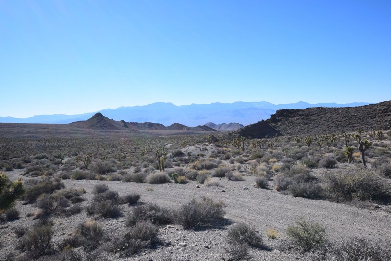
Cow Camp Road, located in the Desert National Wildlife Refuge, has fantastic views of the desert landscape starting on the valley floor, passes through Black Hills Gap and ends at the base of the Sheep Mountain Range. There you will encounter a picturesque camping area with a historic corral. The road provides hiking access to Cow Camp Spring and Wagon Canyon.
Updated: 10/15/2024
Rock Bottom
Amber, Nevada
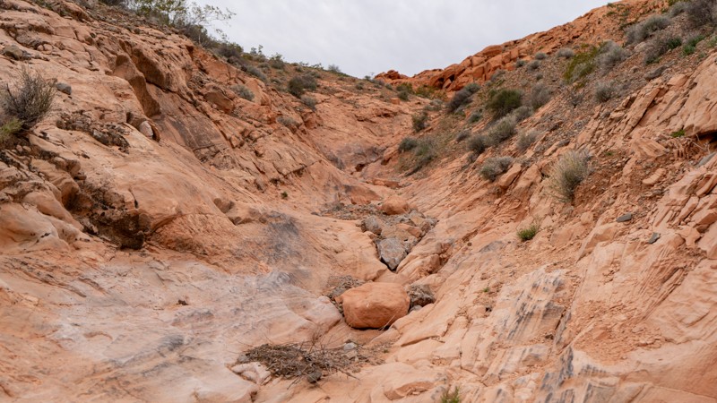
Hitting Rock Bottom has a different meaning in Logandale. This severe trail follows a narrow rocky wash lined with obstacles. A gatekeeper guards the entrance of the wash. If this obstacle proves to be too much, you may as well turn around now. Heavily modified vehicles are put to the test on this twisty and narrow trail. Camping is not an option. There are many opportunities along the nearby Logandale Main Loop.
Updated: 04/23/2025
Leadville Road
Gerlach, Nevada
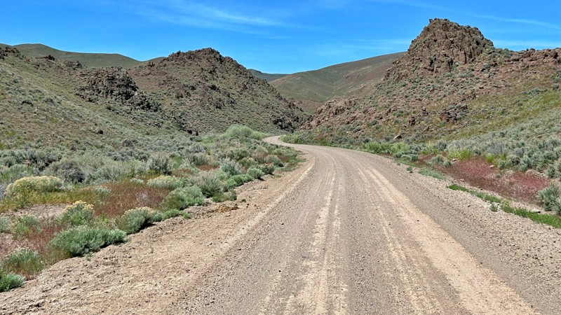
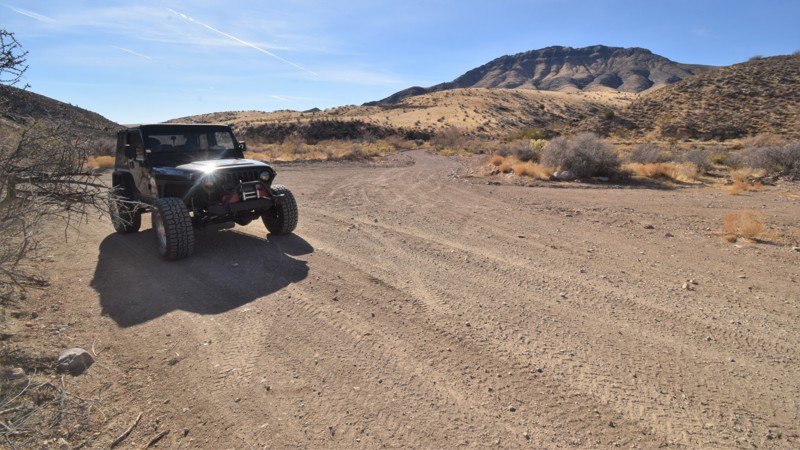
Leadville Road is a well-maintained county gravel route that guides you through a tapestry of historic and scenic wonders. Along the way, you can explore the rugged beauty of Razor Canyon, delve into the rich history of the Leadville Mining District, marvel at the ancient Lund Petrified Forest, and wander through the haunting remnants of the ghost town of Vya. Each stop promises a unique glimpse into the past and the region's natural splendor.
Updated: 06/05/2022
Lime Mountain
Beaver Dam, Nevada
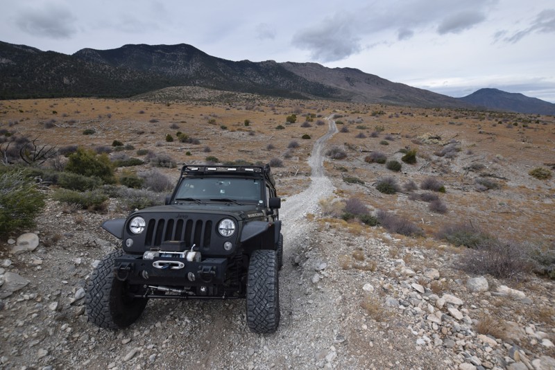
Lime Mountain is a vital connector trail for continuing across this remote and harsh desert environment of eastern Nevada. The entire route is an easy crushed gravel road traveling far out into the Nevada desert. The route easily allows access to rock hounding, hiking, and remote primitive camping. You will pass by the 6,936 foot tall Lime Mountain, winding through a region covered in Joshua trees, creosote bush, white bursage, and other desert shrubs. The region is a habitat for desert bighorn sheep and the Mojave Desert tortoise. The route connects with other truly remote trails that will take you far away from any signs of civilization.
Since the introduction of cattle grazing, non-native grasses have spread across the area, forever altering the landscape. Wildfires are rare occurrences in the Mojave Desert region, so these changes led to fires in 1993, 2005, and 2006. Some of the large Joshua tree forests were lost, however, this route travels through a very large section that has been able to survive. The trees create a densely packed forest; most of them are massive, growing as tall as 49 feet. They can live for hundreds of years; some specimens survive a thousand years. It's believed these trees likely got their name from the first Mormons migrating through this area.
Updated: 06/16/2023
Arrowleaf Road
Indian Springs, Nevada
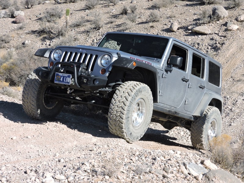
Arrowleaf Road, an off-road trail located in the Spring Mountains National Recreation Area, is a scenic drive with a hill climb/descent that is perfect for beginners to test their four-wheel drive skills. Arrowleaf Road can be used to access the network of trails located in the area.
Updated: 06/05/2022
Fenceline Road - Southern Nye County
Pahrump, Nevada
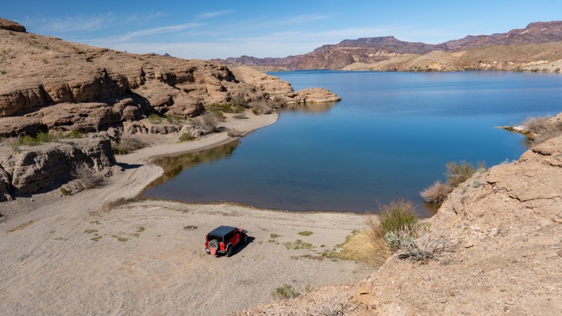
The Fenceline Road backcountry 4x4 route in Southern Nye County has numerous minor and moderate sized washes to negotiate as you cross the alluvial fan created by erosion of the Spring Mountains to the east over millions of years. Great views of Charleston Peak, the Pahrump Valley, and all the way to Telescope Peak in Death Valley National Park some 70 miles away can be viewed on the usually clear days.
The trail is generally hard packed rock and sand, and the wash crossings can be very steep and even impassable depending on vehicle and driver skill. Grades exceed 30 degrees on the most difficult of wash crossings, but there are bypasses suitable for any stock 4x4 vehicle with high ground clearance
Be sure to keep your eyes open for Desert Tortoise as this is an area where BLM has released several of these endangered reptiles.
This route is an excellent trip for inexperienced drivers wanting to gain experience with wash crossings and associated hill climbs
Updated: 09/29/2025
Montana Wash Road
Nelson, Nevada
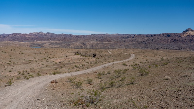
Located within the Lake Mead National Recreation Area, Montana Wash Road is an easy, dead-end gravel trail that follows along a dry wash to Morning Star Cove along the Colorado River. The road surface is generally coarse sand with shallow tire ruts and occasional washboards. Like other trails in the area, you will be rewarded with open desert views, lake views, and views of Fire Mountain along this trail. However, views at the end of this trail are absolutely fantastic along the cove, with several hiking opportunities up and down the river. The trail ends at a very large cove with two great dispersed campsites. If you have friends with a boat, this would be a perfect cove to meet them at. There are no amenities for these campsites and users must pack out everything they pack in, including human waste.
This trail is suitable for any high clearance vehicle and can easily be completed in 2WD.
Updated: 07/07/2026
Fire Mountain Cove Road
Nelson, Nevada
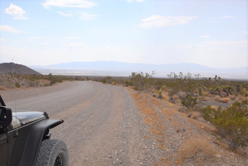
Fire Mountain Cove Road, located in the Lake Mead National Recreation Area, is a 5-mile dead-end road that offers users non-stop scenic views and tremendous dispersed camping as it traverses a ridgeline heading straight at Fire Mountain. The road is not difficult, but it is extremely bumpy due to the long stretches of washboard. The road surface is generally hard-packed dirt with scattered patches of coarse sand and loose gravel. The rolling hills and sweeping turns of this trail keep the drive entertaining, and as you approach the Colorado River, the sides of the trail become lined with posts and cable, delineating the trail and camping area. The first campsite you encounter is a large, flat campsite looking directly at Fire Mountain. This site is great for groups of 5-6 vehicles and suitable for small offroad trailers and ground tents. Continuing towards the river, you will pass two small campsites next to the road before reaching a Y-intersection, where you will continue to the final round-about campsite just above Fire Mountain Cove. These last few campsites are best for vehicle camping and ground tents. There are no amenities for these campsites, and users must pack out everything they pack in, including human waste. This trail is suitable for any high clearance vehicle and can easily be handled in 2WD or with an AWD crossover-type vehicle.
Updated: 04/29/2019
South Branch Wheeler Pass Road
Pahrump, Nevada
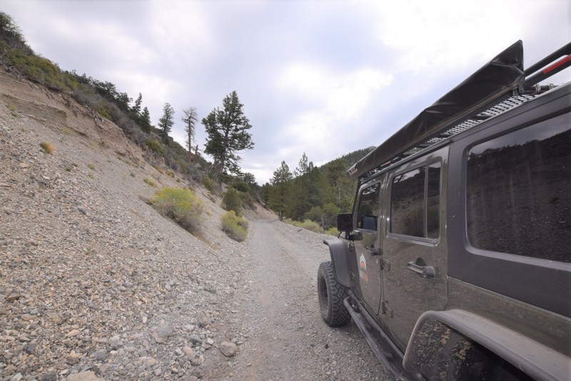
South Branch Wheeler Pass Road is a scenic off-road trail branching off of Wheeler Pass Road, just north of Pahrump in the Spring Mountains National Recreation Area. The trail gives you a choice of a different start point or end point when entering the Recreation Area from Pahrump and offers views of the surrounding desert landscape.
Updated: 07/29/2023
Wheeler Pass Cutoff Road
Pahrump, Nevada
Wheeler Pass Cutoff Road located in the Spring Mountains National Recreation Area, north of Las Vegas is an off-road connector trail that joins Wheeler Pass Road and Clark Canyon Road. The trail provides a relaxing drive with cooler temperatures and a change in the desert scenery due to being at a higher elevation.
Updated: 09/29/2025
Eagle Wash Road
Nelson, Nevada
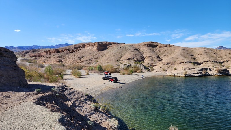
Eagle Wash Road, located within Clark County, is a straight-through gravel connecting road between Aztec Wash and Nelson's Landing. The road makes its way through Eldorado Canyon, traversing a wide desert wash with coarse sand, gravel, and small ruts, before ending along the edge of the Colorado River, where Nelson's Landing marina once stood. On September 14, 1974, a flash flood roared down the canyon after 5 inches of rain fell on the mountains to the west. The flood came in three waves, drowning nine people and carrying 38 vehicles, 23 boats, boat slips, trailers, cabins, a restaurant, and a store into Lake Mojave. The marina was never rebuilt, which is a grave reminder of the severe flash flood risks surrounding this particular wash. Although the cove is a popular hangout spot for water activities, there is no camping along this road or within the cove. Pit toilets and trash receptacles can be found at the intersection with Nelson Road.
Updated: 08/19/2026
Microwave Road
Pine Grove, Nevada
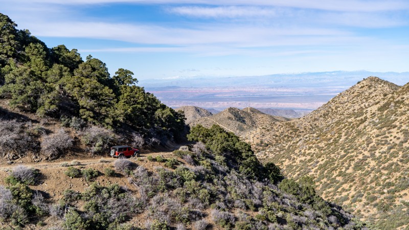
Microwave Road in the majestic Toiyabe National Fores offers magnificent landscapes and tranquil seclusion. The trail winds through a captivating terrain adorned with sage, pinyon, and juniper trees. The 9-mile trail is just off Nevada Highway 338, south of Wellington, Nevada. Microwave Road is a well-maintained gravel track wide enough for two vehicles to pass and is fine for passenger cars. The trail ends at a microwave station and tower.
While dispersed camping is permitted in Toiyabe National Forest, no discernible dispersed campsites were apparent along the trail. Ten miles from the Microwave Road trailhead, Desert Creek Campground offers year-round camping. Managed by the Forest Service, this campground caters to both tent and trailer camping, and reservations are unnecessary. Water and restroom facilities are not available at this location.
Updated: 03/09/2026
Cabin Canyon
Scenic, Nevada
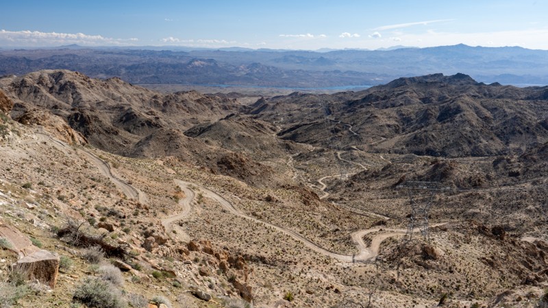
Cabin Canyon trail winds its way through the foothills of the Virgin Peak Mountains south of Mesquite. This 11-mile rocky trail climbs 3500 feet, guiding users from typical Nevada desert scenery with cactus, joshua trees, and creosote bushed to high elevation mountain scenery with juniper, small pines, and shadscale bushes. The trail begins as an easy, maintained road but quickly enters the narrow canyon littered with rocks. Spring runoff causes small streams to cut across the trail, creating occasional obstacles, including the most challenging part. 4WD is advisable due to the moisture and steeper hills with loose dirt. Dispersed camping is plentiful before entering the canyon, with a few different types of scenery.
Updated: 10/15/2024
West Powerline Wash Road
Nelson, Nevada
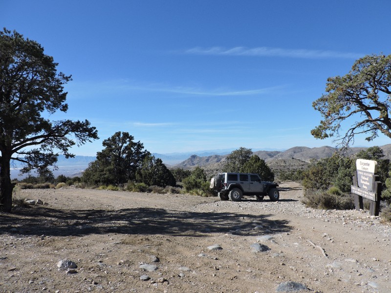
Located less than one hour southeast of Las Vegas, West Powerline Wash Road is a narrow, straight-through, bumpy dirt road that is easily one of the most spectacular roads you will find in southern Nevada. It features incredible geologic formations, dense stands of teddy bear cholla cacti, enormous barrel cacti, and gorgeous views of the Eldorado Mountains. This trail does not have any major obstacles, but the road is rough and slow the entire way, with small, brick-sized protruding rocks, teeth-chattering washboards, and shallow ruts and washouts. The eastern half of the trail might be mentally challenging for those not comfortable with shelf roads.
Beginning at Highway 95, the trail travels under the thin shadow of high-voltage powerlines across a washboard road through the Mojave Desert. Around 5 miles, the trail begins gaining elevation and enters an area known as "Knob Hill," where you encounter enormous rock formations appearing like giant piles of potatoes. Several spurs in this amazing wonderland of rocks dart off to epic dispersed camping spots with fantastic views back down into the valley you came from. As the road continues east, it narrows to a single-lane road, 1.5 vehicles wide, with plenty of pullout opportunities as it weaves along the edge of the Ireteba Peaks Wilderness. Twisting and turning, climbing and falling, the road snakes its way through the scenic mountains, offering jaw-dropping views of jagged peaks, the Colorado River, and Lake Mojave. You will cross many washes and cling to the edge of numerous hillsides as the trail drops an incredible 3,000 feet in just under 10 miles. The trail enters the Lake Mead National Recreation Area and comes to an end at a connection with Aztec Wash, just a couple miles west of the Colorado River.
This trail is suitable for any high clearance vehicle and drivers at any skill level. Expect the trail to take 2-4hrs of travel, one direction, and an additional 1-2hrs to return to Highway 95 via Aztec Wash.
Updated: 01/17/2019
Loop Boundary Road
Pahrump, Nevada
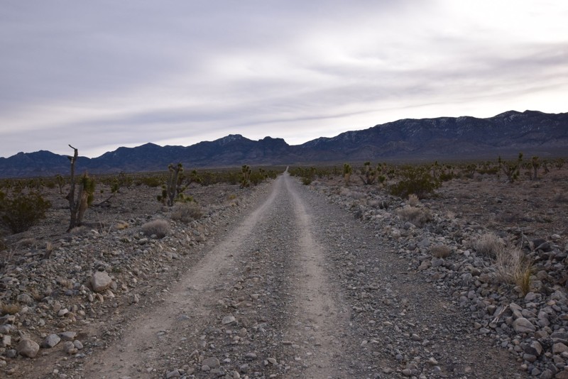
Loop Boundary Road is a moderately difficult, very scenic, and crucial 4x4 connector route for the continuous backcountry trail network along the west side of the Spring Mountains National Recreation Area (SMNRA). This backcountry 4x4 trail near Pahrump offers spectacular views from Charleston Peak to Telescope Peak in Death Valley National Park some 70 miles to the west. The route runs through high desert and the coniferous forest climate zone, with a total altitude change of nearly 4000 feet.
The Spring Mountains National Recreation Area is part of the Humboldt-Toiyabe National Forest. Better known to locals as Mount Charleston, it is located west of Las Vegas and encompasses more than 316,000 acres of remarkable beauty and surprising diversity.
Updated: 06/05/2022
Hidden Forest Road
Las Vegas, Nevada
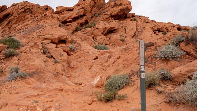
Hidden Forest Road is located in the Desert National Wildlife Refuge that ends in a nice camping area with great views of the desert valley and mountains surrounding the area. Hidden Forest Road is off of Alamo Road http://www.trailsoffroad.com/trails/988-alamo-road. This is a nice easy drive to a perfect campsite/base camp for exploring the Deadman Canyon and the Hidden Forest hiking trail. This would be a great base camp while exploring Alamo Road and the other trails in the area.
Updated: 10/15/2024
Bronco Falls
Amber, Nevada
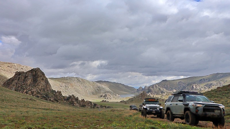
Bronco Falls lies next to Shredder Trail but offers a bit more punch. This rocky trail is well suited for modified rigs and experienced drivers wanting a little more challenge. Numerous obstacles lie along its short span. Camping is not an option directly on this trail, but the nearby Logandale Main Loop has plenty of options.
Updated: 10/15/2024
Knott Creek Reservoir
Dyke, Nevada
Hidden in the pristinely beautiful Pine Forest Mountains, Knott Creek Reservoir is rightly considered one of the prettiest lakes in Nevada. The Nevada Department of Wildlife manages and stocks the reservoir with cut bow and tiger trout, making it popular with anglers. Camping around the lake is primitive. Due to muddy conditions, road access can be difficult early and late in the season. 4WD is recommended.
Updated: 10/15/2024
Shredder Trail
Amber, Nevada
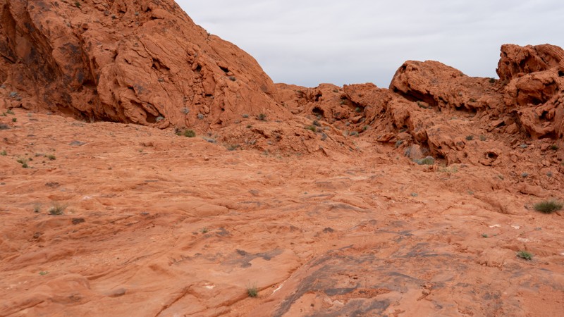
Lying near the entrance to Logandale, this challenging rocky trail winds through a small, tight canyon. Several small obstacles challenge lightly modified rigs, providing a short bit of fun, assuming everything goes well. Combine this trail with one of the others in the area for a half or full-day adventure! Camping is not an option directly on this trail, but the nearby Logandale Main Loop has plenty of options.
Updated: 03/30/2023
White Rock Road
Las Vegas, Nevada
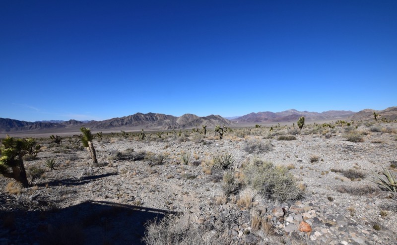
White Rock Road located in the Desert National Wildlife Refuge just outside of Las Vegas, Nevada. This short trail is an easy drive up to a flat camping that can easily fit 5-8 vehicles and tents in the area with fantastic views of the desert valley and an entrance for hiking into the White Rock Canyon.

Upgrade your Membership
Unlock all of the details on every Trail Guide and Scout Route.
Start a 7-day Free TrialBrowse Trails in Nevada by City
Browse every Nevada city with offroad trail guides.
Community
Partners

