










By clicking "ACCEPT", you agree to be the terms and conditions of each policy linked to above. You also agree to the storing of cookies on your device to facilitate the operation and functionality of our site, enhance and customize your user experience, and to analyze how our site is used.
Utah Off-Road Trails
359
Total Trail Guides 334

4759
Detailed Waypoints 925
Try a Free 7-Day Trial and unlock it all
Start a Free Trial Most Recent Trail Reviews
No Rating
Open
Visited: 09/24/2026
This trail has been graded recently and is now an easy trail.

IE
Ingrid Enyeart
Rated 5/5
Partially Open
Visited: 09/22/2026
The portion of the trail between the fork at 11 and the fork at 13 has two major ledges that have formed going into and out of the wash. Not sure what vehicle could overcome these. So just take the sc...


CI
Christine Irsik
Rated 4/5
Open
Visited: 09/22/2026
We enjoyed this trail and will definitely do it again. Gorgeous views at many points along the trail. We didn’t try The Wall, but everything else was just enough of a challenge for us and nice that m...
LF
Leslie F
No Rating
Open
Visited: 09/22/2026
Drove out here in a thunderstorm after doing dome plateau overlook. Epic camping. peaceful. unparalleled views. trail had two steep rocky sections I used 4wd low but probably didn't need to.

JR
jon ross
No Rating
Open
Visited: 09/21/2026
This is a short 2 mile of so cut off trail. Has a wash out with a by pass half way through.



Earl Neisler
Earl Neisler
Rated 2/5
Open
Visited: 09/21/2026
Pinstripe Alley nonstop for the first 4 miles. INo view to be had until waypoint 7. It was a beautiful view then we turned around. Should’ve read the reviews before we started the trail, because th...
LF
Leslie F
Rated 5/5
Open
Visited: 09/21/2026
This is a highlight for the trip. We stayed at waypoint10 for the night.


Earl Neisler
Rated 4/5
Open
Visited: 09/21/2026
Nice connector. The short out back was the hardest and not that short.


Earl Neisler
Rated 4/5
Open
Visited: 09/21/2026
A well maintained road. Found a nice camp site on the south in.
Earl Neisler

Jesse Martin
Jesse Martin
Rated 5/5
Open
Visited: 09/20/2026
Great area to go camping and gather for family reunions. There are multiple other trails that fork off throughout the trail to explore.

Dustin
Earl Neisler
Rated 5/5
Open
Visited: 09/20/2026
Only did apart due to time. This is 1 I will come back and finish.

Earl Neisler
Rated 3/5
Open
Visited: 09/20/2026
Not much to say it a slow easy. A good connecting trail.
Earl Neisler
No Rating
Open
Visited: 09/20/2026
We started just south of Cottonwood Canyon. We stop and looked but could not fine the rock art. The area was a nice to see all the green.


Earl Neisler
Rated 4/5
Open
Visited: 09/19/2026
Great trail, we drove through waypoints 24-35. Easy ride with a good amount of mud holes with few ruts on the stretch we drove. Would love to complete the whole trail at a later date.
Dustin
Rated 4/5
Open
Visited: 09/19/2026
Fun easy trail. Great way to get out and enjoy a relaxing trail ride to take in nature and see the fall colors.
Dustin
Rated 5/5
Open
Visited: 09/19/2026
Great Trail! The scenery was good with lots of wildlife. The trail was diverse that give drivers the opportunity to use both high and low four wheel drive. Trail has both wide and narrow areas.
Dustin
Rated 5/5
Open
Visited: 09/18/2026
I run this trail every year. Always fun and beautiful views. Fair amount of off camber sections.

Jeff Klaassen
Rated 5/5
Open
Visited: 09/18/2026
This was a good trail. The trail still had so flood damage but was passable. Highly recommended this. Has some all some view. We took 2 day to enjoy the ride and views.


Earl Neisler
No Rating
Open
Visited: 09/16/2026
Very fun, short trail. We did the loop but not Wipeout Hill. The sandy sections were a blast and there were a few ledges and obstacles that probably warrant a 5 but are still a fun challenge. We did i...



Mark Signorelli
Rated 4/5
Open
Visited: 09/15/2026
Ran this one and it's a decent stretch for anyone with a high clearance 4x4. The early sagebrush section had me watching my GPS track closely since the road nearly disappears a few times, but it alway...



Jay North
Official Crew
Rated 4/5
Open
Visited: 09/15/2026
Ran this as a quick add-on while working through the rest of the Red Hills network, and it's a fun one to knock out in under an hour. The wash crossing is the one spot where you actually have to think...


Jay North
Official Crew
Rated 3/5
Open
Visited: 09/15/2026
Ran this one on a dry afternoon and came away satisfied without being blown away. The rocky, rolling grade keeps things interesting without ever feeling out of reach for a stock high clearance rig, th...


Jay North
Official Crew
Rated 4/5
Open
Visited: 09/15/2026
Ran this one on an afternoon when I didn't have time for a full day out, and it delivered more than I expected for a short climb. The hill about a mile in makes you actually think about your line, and...


Jay North
Official Crew
Rated 4/5
Open
Visited: 09/13/2026
Red Peak Road is a short, easy cruise that's mostly smooth dirt with just enough texture to keep it interesting. There's a mild rough patch early on and a slightly rockier stretch past the halfway poi...


Jay North
Official Crew
Rated 2/5
Open
Visited: 09/13/2026
This is an easy, low-key cruise with a short technical bump right in the middle where it ties into the rest of the network, otherwise it is just packed dirt and gravel the whole way. Nothing here dema...


Jay North
Official Crew
Rated 4/5
Open
Visited: 09/13/2026
This one's an easy, mellow cruiser and it shows in how quick it feels behind the wheel. The rocky spots near the start and about two thirds up are barely worth mentioning, just some careful tire place...


Jay North
Official Crew
Rated 5/5
Open
Visited: 09/13/2026
This one's a fun add-on if you're already out in the area, easy enough for most of the way that a stock rig won't break a sweat, with just a couple of hard spots to keep things interesting. The washou...


Jay North
Official Crew
Rated 4/5
Open
Visited: 09/13/2026
A nice view of Kanab. Steepish and possibly slick when muddy. One spot has a small rock shelf. 4x4 recommended.


Ben Ruddell
Official Crew
Rated 3/5
Open
Visited: 09/13/2026
Easy, suitable for high clearance 2WD on a dry day, though four wheel drive earns its keep if the ground's been wet. The ruts along the way are mild and easy to place your tires around, and the two wa...


Jay North
Official Crew
No Rating
Open
Visited: 09/12/2026
Crazy no reviews since I ran it last May. We ran it again this time the whole trail out to the south overlook. It had rained the night before and into the morning. The rock dried up quick but a lot o...



Andrew Hotton
Rated 5/5
Open
Visited: 09/12/2026
Sand dunes. DANGER, you need to know your technique to head in here. It’s easy to misjudge slope and camber and get stuck or worse roll.


Ben Ruddell
Official Crew
Rated 3/5
Open
Visited: 09/12/2026
The section of the trail was rocky and rough - still fairly easy but the rockiest stretch.
WF
Wyatt Frampton
Rated 4/5
Open
Visited: 09/12/2026
This trail checks so, so many of the boxes -- hanging off a cliff, passing within 4" of rocks on BOTH sides at the same time on narrow sections, meaningful obstacles (ledges) where I smacked my hitch ...
IR
Isaac R
Rated 3/5
Open
Visited: 09/12/2026
This is an easy, high clearance 2WD road, easy enough that the drive itself isn't the draw. The shelf road stretch is mild and only about two jeeps wide, so keep an eye out for oncoming traffic, and t...


Jay North
Official Crew
Rated 2/5
Open
Visited: 09/12/2026
This is a mellow, low-stress drive that rewards a relaxed pace more than any technical challenge. Stock high clearance handled every mile without a second thought, and the surface stayed predictable e...


Jay North
Official Crew
Rated 5/5
Open
Visited: 09/11/2026
Great rest quick trail! Perfect for beginners, fun place for a picnic. The entrance and exit terrain to the tunnel changes depending on the weather and use. Very fun and interesting.


Dustin
Rated 4/5
Open
Visited: 09/11/2026
My route didn’t originally include this trail, but one of my crew broke on impossible hill and we had to limp back to civilization. This trail was beautiful and remote. Difficulty wise, no issues on t...



Dewie Jones
Official Crew
Rated 4/5
Open
Visited: 09/10/2026
Way better than I thought it would be. This was simply a connector trail for my unsuccessful (broken Toyota) Blanding to Moab overland trip. The trail is absolutely beautiful, relatively fast access, ...
Dewie Jones
Official Crew
Rated 3/5
Open
Visited: 09/10/2026
Easy enough that I did this road in pitch-black with just headlights (no light bar or anything) on the way to see sunrise from the end of the trail (Hurrah Pass). Really straightforward, just rocky li...
IR
Isaac R
Rated 4/5
Open
Visited: 09/10/2026
Incredibly beautiful road and not really rough at all -- I did a bunch of with fully-inflated tires. I know it's just a connector but honestly I would 100% come out here again to enjoy the views, hang...
IR
Isaac R
Rated 4/5
Temporary Closure
Visited: 09/10/2026
Deep mud around river crossing prevents passage. We came from Goblin Valley side, we were able to cross the river but there was deep mud on south side due to recent rains. Almost got stuck, had to go ...

Thomas A Youngerman
Rated 5/5
Open
Visited: 09/09/2026
Incredible bucket list trail that you must do if you can. DON'T do it in 1 day unless you like rushing it, unfortunately circumstances changed that required us to rush it. It's gorgeous and worth an o...



Sean Allen
Rated 5/5
Open
Visited: 09/09/2026
I built this into our rocklanding/overland route and really enjoyed the adventure. You can tell this isn’t well traveled which added to the experience. With that said, we’re trying to get to Moab from...


Dewie Jones
Official Crew
Thomas A Youngerman
Rated 5/5
Open
Visited: 09/08/2026
Great as always, high rewards in terms of views and nothing crazy in terms of obstacles. Great first trail for someone to do with a great payoff!


Sean Allen
Rated 5/5
Open
Visited: 09/08/2026
Fun trail, would run again. Had lunch between Monitor and Merrimac buttes.


Thomas A Youngerman
Most Popular
Updated: 09/18/2026
Hidden Splendor
Hanksville, Utah
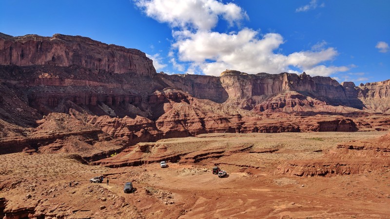
Hidden Splendor certainly lives up to its name. This incredible trail takes you down to Muddy Creek, a yearlong creek that feeds into the Dirty Devil River. All along this trail are viewpoints looking in every direction. You could easily spend hours on this trail taking great photos and enjoying the peace and quiet that the San Rafael Swell has to offer. If you are looking to spend a few nights in the area, there are many remarkable campsites providing you solitude from the bustle of the campgrounds in the area. Although this is a long out and back style trail, be sure to add this one to the must do list. You will quickly see why they call it Hidden Splendor.

Updated: 09/24/2025
Double Sammy
Hurricane, Utah
With Sand Hollow Reservoir as a constant scenic backdrop, Double Sammy offers continuous, non-stop challenges with obstacles that never seem to cease. No wonder this is one of the Sand Hollow area's most famous rock crawling trails. You will only have time to catch your breath when you are stopped waiting for a vehicle in front of you to continue. Best known for "The Chute" obstacle, this trail leaves you scratching your head as you repeatedly defy the laws of gravity. If you feel right at home with off-camber leans, tire lifts, and maneuvering over ridiculously steep terrain, this is a trail you won't want to skip.

Updated: 04/10/2026
Jackson Hole
Moab, Utah
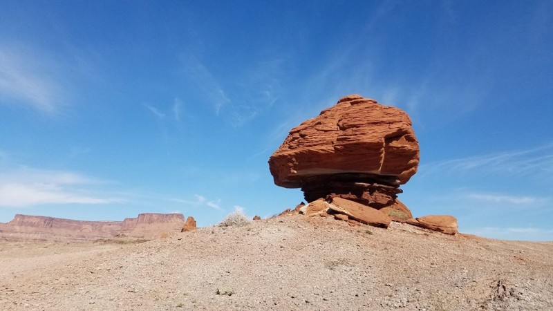
Jackson Hole is primarily composed of dirt and rocks. This out-and-back trail navigates around a large mesa in the middle with tall bluffs on the outer edge of the loop. High-clearance 4x4 vehicles should have no issues navigating this trail. Camping can be found on Chicken Corners
Updated: 04/30/2025
Klondike Bluffs Escape via Baby Steps
Moab, Utah
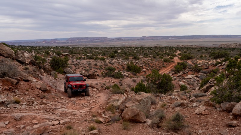
A short trail with big views! Descending from the top of Klondike Bluffs, you are greeted with expansive open views of Salt Valley below you and Arches National Park across from you. Near Moab, Utah, the Klondike Bluffs are something you don't commonly see. The odd discoloration makes you think you are in a completely different part of Utah. This remote and challenging trail puts you into a new area with miles of trails to explore, as well as putting you right at the border of Arches National Park.

Updated: 10/04/2023
Maze Overlook
Hanksville, Utah
The Maze Overlook trail in Canyonlands National Park is a thrilling adventure that takes visitors to breathtaking heights and rewards them with sweeping panoramic views. This rugged trail winds through the heart of the park's mesmerizing Maze District, showcasing the awe-inspiring natural beauty of red rock canyons and towering spires. As you navigate the challenging terrain, your adrenaline will surge with every twist and turn. Upon reaching the Maze Overlook, prepare to be captivated by the vastness of the landscape spread out before you, a true testament to the raw power of nature. The Maze Overlook trail is an unforgettable experience that will leave you in awe of the remarkable wonders found within Canyonlands National Park.
Updated: 05/27/2024
Hellroaring Canyon North Rim Overlook
Moab, Utah
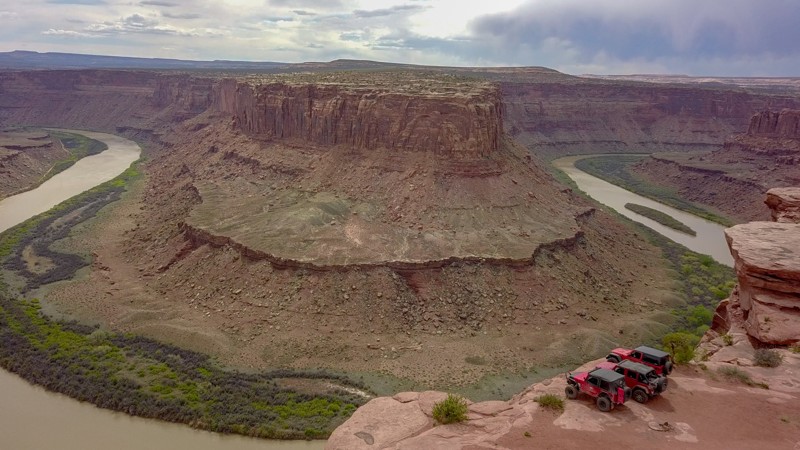
Deceiving at first, this incredible little spur has some of the best views around Moab. There are many locations that give you a chance to look down upon the Green River, but this one takes the cake. You get to see a huge bend in the river and both tails for quite a ways. In addition, you are right at the edge of a sheer cliff providing you the magnitude of the landscape. No other viewpoints give you quite the perspective that this one does. This is an absolute must do if you are in the area!
Updated: 03/04/2024
Blue Hills Road
Moab, Utah
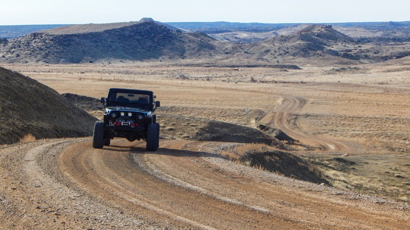
Traveling across seemingly endless prairie lands, Blue Hills Road leisurely meanders along the edge of Moab's most iconic 4x4 areas. You can set up basecamp for up to 14 days at one of the many boondocking areas or choose a side trail and find a private campsite back in the hills. The route has beautiful views of the red rock cliffs and distant mountain peaks. This is the main access road to numerous popular 4x4 trails and an excellent way to see the local wildlife grazing on the prairies. Pronghorns are often seen in large herds, racing across the rolling hills, while the prairie dogs vigilantly watch for predators.

Updated: 11/26/2023
The Fallen
Open
/
Hurricane, Utah/
1.64 miles/
About an hour
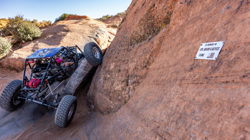
Dedicated to fallen service members from every American conflict, The Fallen is a highly technical trail located east of the sand dunes on top of Sand Mountain that boasts a countless number of slickrock challenges peppered between ten officially named obstacles. Muti-level waterfalls, tight wedges, and steep climbs await those willing to attempt this trail.
Updated: 05/01/2024
Colorado River Overlook
Monticello, Utah
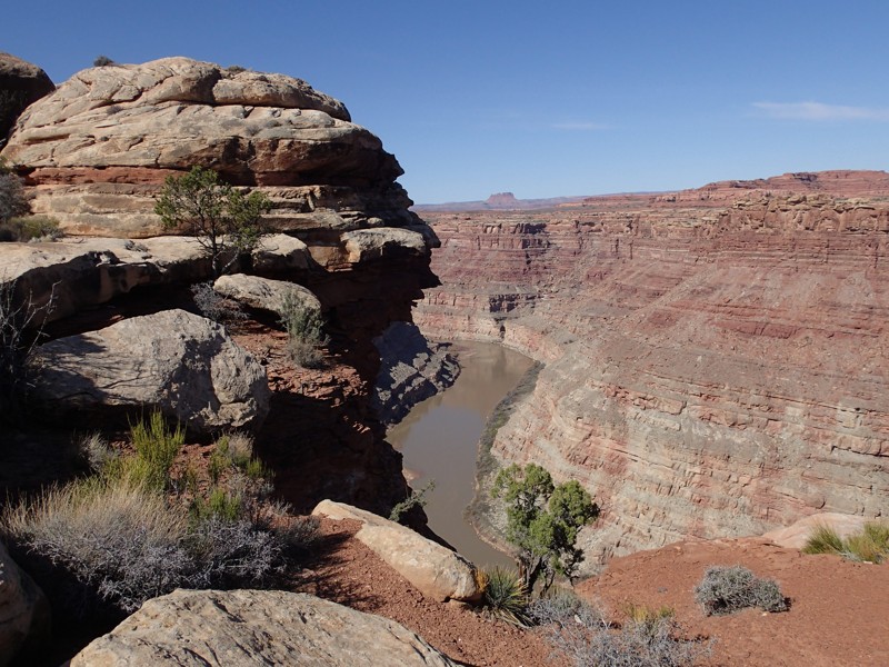
Situated in the Canyonlands Needles District, this four-wheel drive road offers a quick trip to the cliffs overlooking the mighty Colorado River. The Overlook is the easiest of backcountry roads within the Needles District, which has over 50 miles of roads which all lead you through the natural wonders of the area. This road takes you through the high desert with wide open views and it ends with an amazing view of the Colorado River and its associated canyons. A great side trip for anyone visiting the park that wants to get off the pavement.
Updated: 01/15/2026
Bartlett Overlook
Crescent Junction, Utah
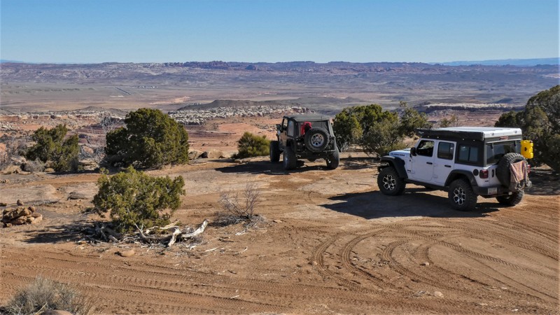
Bartlett Overlook, also known as Hidden Canyon Overlook, is an excellent way to get on the rocks around Moab, Utah, without the extreme challenges of the more well-known trails. The trail travels to a breathtaking overlook of Hidden Valley and much more. This mildly challenging route travels through a very diverse and transitioning landscape. The red sandstone mesas seem to rise out of nowhere, creating a swirl of dramatic colors. The trail does have a few challenges to test you and your vehicle's capabilities.
Updated: 06/14/2024
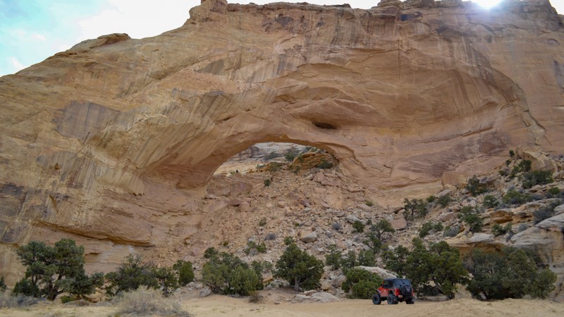
North Fork of Coal Wash
Ferron, Utah
Wash roads in Utah are common, but this one is really a nice treat. Entering from the West side of the San Rafael Swell, the North Fork of Coal Wash is an easy but scenic way into the iconic network of trails this area is known for. Also along its borders is Swasey's Arch, a massive stone structure reminding you just how small we really are in this world. Be sure to take some time to get out or enjoy the sights along the way as you wind your way down this awesome sandy wash.
Updated: 06/08/2024
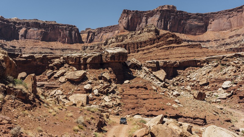
Lathrop Canyon
Moab, Utah
Lathrop Canyon is one of the few trails that branches off of the White Rim Trail. The drive through the canyon is quite fun, and it ends at the only point in Canyonlands where you can drive up to the Colorado River. The canyon, as well as the nearby hiking trail, are named after Howard Lathrop, who in 1939 was given a winter allotment by the US Grazing Service for his sheep. In 1953, the trail was used by uranium prospectors to obtain water from the Colorado River for their mining operations. Lathrop Canyon is a great addition to your day in Canyonlands, especially if it’s hot and you want to cool off in the river or under some shady trees.

Updated: 05/16/2025
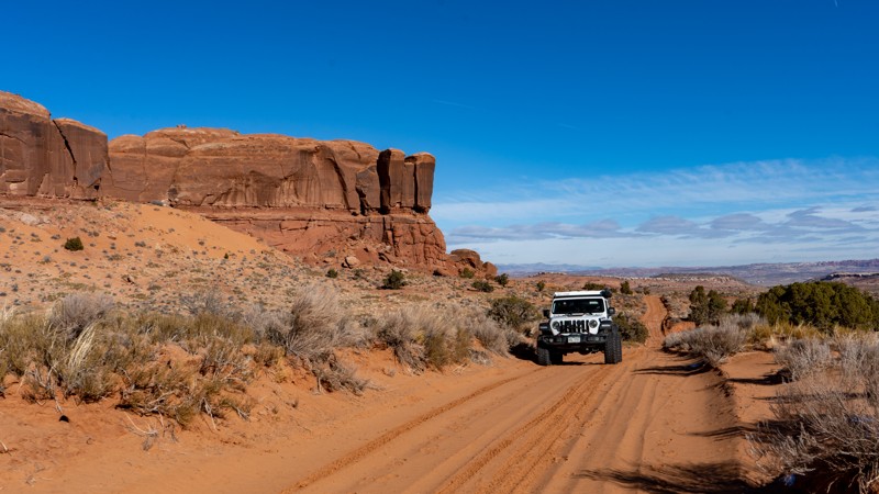
Cane Wash
Green River, Utah
This beautiful off-road trail acts as a shortcut from Buckhorn Draw Road over to Fixit Pass. Wash roads in the San Rafael Swell are abundant, but this one has a few extra features along its edges such as hikes and abandoned mines. This wash has some incredible scenery as it takes you from the more green area near Locomotive Point into the barren desert along the central portion of Buckhorn Draw Road. If you feel like taking a dip, you can even reach the San Rafael River via Fuller Bottom. What this wash lacks in obstacles, it makes up for in scenery. This off-road trail will get you deep into the network of trails within the San Rafael Swell providing days of endless excitement and scenery to view.
Updated: 01/23/2024
Bartlett Wash Road
Moab, Utah
Bartlett Wash provides plenty of visual stimulation as you drive alongside sandstone cliffs formed over 100 million years ago and full cottonwoods offering shade in the summer. Many will want to drive it for the experience, while others will drive it to reach Hidden Canyon, Tusher Tunnel, or The Pickle. Whatever your motivation, Bartlett Wash is a road everyone takes at least once in Moab.

Updated: 07/04/2024
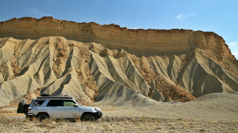
Norway Flat
Kamas, Utah
A gem of the beehive state, the Uinta-Wasatch-Cache National Forest is home to thousands of miles of forest roads and endless camping, fishing, and many other recreational activities. The Norway Flats area, just 10 miles from town, is an excellent intro to the vast wilderness of these mountains. Norway Flat is an easy trail leading you to numerous great camping spots and small lakes where you could take the kayak out and enjoy the peace and quiet. Because there are no developed campsites along this trail directly, and the small size of the lakes, this trail doesn't see as much action as others in the area, making it a great trail to escape the crowds and enjoy the cool mountain air.
Updated: 09/18/2023
Henry Mountains Road
Hanksville, Utah
Henry Mountains Road is the western gateway to the ruggedly beautiful Henry Mountains of southern Utah. Beginning in the Water Pocket Fold, a very colorful geologic warp in the Earth's crust, Henry Mountains Road climbs up and along the lower ridges of the Henrys, offering amazing views, fantastic campsites, and connections to other trails that lead deeper up into the mountains. The Henry Mountains, named for the first secretary of the Smithsonian Institution, was the last mountain range to be added to the map of the 48 contiguous States. They loom tall and gray to the east of the trail. Made of igneous minerals that extruded through the surrounding sandstone sediments, the mountains range from 23 to 31 million years old. The western slope of the Henrys host one of only three genetically pure herds of buffalo left in the United States. Kept at an optimal 350 head, additional buffalo above the 350 are sent to replenish the breeding base of other herds. Visitors keep a sharp eye out in hopes of spotting the herd but are more likely to spot a few of the dense population of deer that inhabit the mountain range. The trail ends in the shadow of the Horn, a stony butte below the immense and towering Mount Pennell. A drive along Henry Mountains Road is always an adventure.
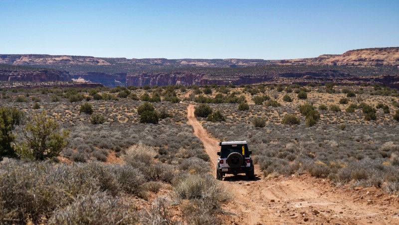
Updated: 04/10/2026
Kane Creek Canyon Rim
Spanish Valley, Utah
Kane Creek Canyon Rim is a hidden gem off of the main Behind the Rocks Road that features fun and scenic wheeling and offers remote vibes and great camping to boot. Any stock 4WD vehicle will have no issues traversing the landscape but make sure you have adequate tires that are aired down properly as you will be navigating through large patches of sand. If you happen to find yourself south of Moab and looking for a nice quiet campsite for the evening or simply getting away from the crowds, this trail might just be for you.
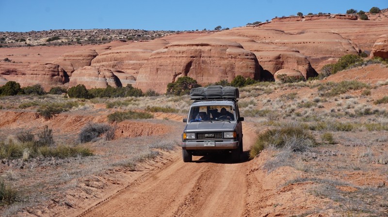
Updated: 12/12/2023
Hidden Canyon
Moab, Utah
The Hidden Canyon offroad trail is scenic and fast-paced, nestled between The Blue Hills and Barlett Flats. Just north of Moab, the route takes you deep into a colorful canyon with Windgate and Entrada Sandstone walls. Due to the ease of this trail and others in the area, this is an excellent location for new offroaders to test their skills without sacrificing the "fun factor."
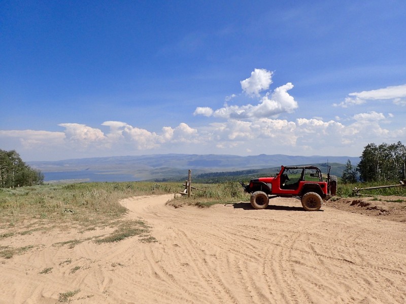
Updated: 06/15/2024
Strawberry Ridge
Springville, Utah
Situated high in the Wasatch Mountains near Daniel's Summit lies this incredible off-road trail. Taking you from the Hobble Creek Canyon area over to Strawberry Reservoir, this route has no shortage of photographic opportunities, miles of side trails, and endless spots to park and spend some time under the stars. Its relative distance from civilization makes this a popular trail in the summer, while providing snowmobiling opportunities in the winter. With the reservoir so close, this is a popular trail for water-goers to run all weekend with their basecamp set up down by the lake. If you are looking for a little more seclusion, head over to the first portion of this trail where you are less likely to see another soul all day long. Camping options are endless from towing a trailer to hanging from the trees in a hammock. Once you reach the ridge line, you will be treated with views for miles ranging from Mount Timpanogos to the west, Strawberry Peak directly to the north, and Square Top Mountain to the east towering over Strawberry Reservoir. Whatever reason you have for visiting this area, this trail surely is not one to miss with such incredible views in a small amount of driving.
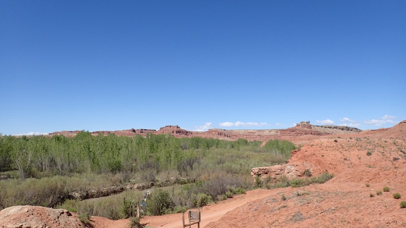
Updated: 04/28/2024
Fuller Bottom
Castle Dale, Utah
The San Rafael Swell in Central Utah is famous for its unique geography and incredible diversity. Boasting multiple dark sky parks, pictograph and petroglyph panels, the world-famous Goblin Valley, and the Wedge (Mini Grand Canyon), the San Rafael Swell is one not to miss. In the northern portion of the Swell, the San Rafael River carves its way from Emery County 90 miles southeast, where it meets with the Green River shortly before it joins up with the Colorado River. Along the river banks is Fuller Bottom, an "oasis" within the arid climate of the San Rafael Swell. Lush with vegetation, Fuller Bottom is accessed by a relatively easy offroad trail from the north and the south. Most visitors come in from the north due to the easy access from the intersecting Wedge Overlook and Buckhorn Wash trails. Coming in from the south requires you to cross the San Rafael River, which may not be an easy task based on when you expect to be traveling. Although this trail, in particular, may not boast of any specific interests aside from Fuller Bottom itself and the river crossing, it is worth the drive! Fuller Bottom gives you access to the petroglyphs and pictographs along Buckhorn Wash to the north and the incredible network of trails to the south, such as Devil's Racetrack, Fixit Pass, Eagle Canyon, or North Fork of Coal Wash.

Updated: 04/03/2024
Sliplock Gulch
Hurricane, Utah
Traversing slickrock waterfalls and maneuvering through tight rocky washes, Sliplock Gulch is a continuous pucker fest of fun from the first obstacle to the last. This trail offers countless steep and ledgy climbs that don't require a highly modified vehicle to conquer. Located near the western side of Sand Mountain, Sliplock Gulch is a great Sand Hollow trail to come to test your skills and your machine, no matter what size vehicle you drive.

Updated: 10/13/2025
Triple 7
Hurricane, Utah
Winding its way through the rocks of Sand Mountain is a trail known as Triple 7. Like others nearby, this trail is lined with thrilling rocky shelves, vertical faces, and chunky terrain. Although not overly tricky, many optional obstacles here can result in body damage or tipping if the correct line is not chosen. Views of Sand Hollow Reservoir can be had at almost any point, but attention should be paid to the consistent obstacles that lie ahead. This is a great trail to improve your driving skills if you are ready to bump up your off-roading game.
Updated: 04/22/2024
Hidden Canyon Overlook
Moab, Utah
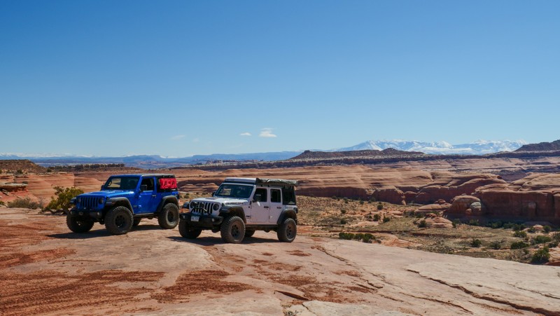
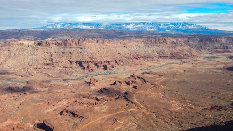
Hidden in the Labyrinth Canyon Wilderness lie numerous canyons to explore from both below and above. Hidden Canyon Overlook is part of the 3D Safari Route and gives a feeling of being deep in the outback. The trail traverses dirt, sand, and broad expanses of exposed bedrock, locally known as slickrock. The trail ends approximately 500 feet above Hidden Canyon, whose red and white sandstone contrasts with the blue sky and green vegetation. With the snow-capped La Sal Mountains in the distance, this place is a visual spectacle to cherish.
Updated: 02/13/2026
Anticline Overlook
Spanish Valley, Utah
Breathtaking cliff-edge views await you at the end of this easy 18-mile out-and-back gravel road. With multiple overlooks along the route, numerous side trails to choose from, and abundant camping, Anticline Overlook is your gateway to a remote and scenic Utah adventure. Named for the curved, uplifted Kane Creek Anticline, this dramatic landscape has views that rival the Grand Canyon. The overlook site has picnic tables, small shade shelters, interpretive signs, and a pit toilet. There is no water or camping at the Anticline Overlook, but dispersed camping is available on multiple side trails or at the Hatch Point Campground. With durable tires and dry conditions, the route can be completed in a passenger car.

Upgrade your Membership
Unlock all of the details on every Trail Guide and Scout Route.
Start a 7-day Free TrialBrowse Trails in Utah by City
Browse every Utah city with offroad trail guides.
Community
Partners

