










By clicking "ACCEPT", you agree to be the terms and conditions of each policy linked to above. You also agree to the storing of cookies on your device to facilitate the operation and functionality of our site, enhance and customize your user experience, and to analyze how our site is used.
Utah Off-Road Trails
359
Total Trail Guides 334

4759
Detailed Waypoints 925
Try a Free 7-Day Trial and unlock it all
Start a Free Trial Most Recent Trail Reviews
No Rating
Open
Visited: 09/24/2026
This trail has been graded recently and is now an easy trail.

IE
Ingrid Enyeart
Rated 5/5
Partially Open
Visited: 09/22/2026
The portion of the trail between the fork at 11 and the fork at 13 has two major ledges that have formed going into and out of the wash. Not sure what vehicle could overcome these. So just take the sc...


CI
Christine Irsik
Rated 4/5
Open
Visited: 09/22/2026
We enjoyed this trail and will definitely do it again. Gorgeous views at many points along the trail. We didn’t try The Wall, but everything else was just enough of a challenge for us and nice that m...
LF
Leslie F
No Rating
Open
Visited: 09/22/2026
Drove out here in a thunderstorm after doing dome plateau overlook. Epic camping. peaceful. unparalleled views. trail had two steep rocky sections I used 4wd low but probably didn't need to.

JR
jon ross
No Rating
Open
Visited: 09/21/2026
This is a short 2 mile of so cut off trail. Has a wash out with a by pass half way through.



Earl Neisler
Earl Neisler
Rated 2/5
Open
Visited: 09/21/2026
Pinstripe Alley nonstop for the first 4 miles. INo view to be had until waypoint 7. It was a beautiful view then we turned around. Should’ve read the reviews before we started the trail, because th...
LF
Leslie F
Rated 5/5
Open
Visited: 09/21/2026
This is a highlight for the trip. We stayed at waypoint10 for the night.


Earl Neisler
Rated 4/5
Open
Visited: 09/21/2026
Nice connector. The short out back was the hardest and not that short.


Earl Neisler
Rated 4/5
Open
Visited: 09/21/2026
A well maintained road. Found a nice camp site on the south in.
Earl Neisler

Jesse Martin
Jesse Martin
Rated 5/5
Open
Visited: 09/20/2026
Great area to go camping and gather for family reunions. There are multiple other trails that fork off throughout the trail to explore.

Dustin
Earl Neisler
Rated 5/5
Open
Visited: 09/20/2026
Only did apart due to time. This is 1 I will come back and finish.

Earl Neisler
Rated 3/5
Open
Visited: 09/20/2026
Not much to say it a slow easy. A good connecting trail.
Earl Neisler
No Rating
Open
Visited: 09/20/2026
We started just south of Cottonwood Canyon. We stop and looked but could not fine the rock art. The area was a nice to see all the green.


Earl Neisler
Rated 4/5
Open
Visited: 09/19/2026
Great trail, we drove through waypoints 24-35. Easy ride with a good amount of mud holes with few ruts on the stretch we drove. Would love to complete the whole trail at a later date.
Dustin
Rated 4/5
Open
Visited: 09/19/2026
Fun easy trail. Great way to get out and enjoy a relaxing trail ride to take in nature and see the fall colors.
Dustin
Rated 5/5
Open
Visited: 09/19/2026
Great Trail! The scenery was good with lots of wildlife. The trail was diverse that give drivers the opportunity to use both high and low four wheel drive. Trail has both wide and narrow areas.
Dustin
Rated 5/5
Open
Visited: 09/18/2026
I run this trail every year. Always fun and beautiful views. Fair amount of off camber sections.

Jeff Klaassen
Rated 5/5
Open
Visited: 09/18/2026
This was a good trail. The trail still had so flood damage but was passable. Highly recommended this. Has some all some view. We took 2 day to enjoy the ride and views.


Earl Neisler
No Rating
Open
Visited: 09/16/2026
Very fun, short trail. We did the loop but not Wipeout Hill. The sandy sections were a blast and there were a few ledges and obstacles that probably warrant a 5 but are still a fun challenge. We did i...



Mark Signorelli
Rated 4/5
Open
Visited: 09/15/2026
Ran this one and it's a decent stretch for anyone with a high clearance 4x4. The early sagebrush section had me watching my GPS track closely since the road nearly disappears a few times, but it alway...



Jay North
Official Crew
Rated 4/5
Open
Visited: 09/15/2026
Ran this as a quick add-on while working through the rest of the Red Hills network, and it's a fun one to knock out in under an hour. The wash crossing is the one spot where you actually have to think...


Jay North
Official Crew
Rated 3/5
Open
Visited: 09/15/2026
Ran this one on a dry afternoon and came away satisfied without being blown away. The rocky, rolling grade keeps things interesting without ever feeling out of reach for a stock high clearance rig, th...


Jay North
Official Crew
Rated 4/5
Open
Visited: 09/15/2026
Ran this one on an afternoon when I didn't have time for a full day out, and it delivered more than I expected for a short climb. The hill about a mile in makes you actually think about your line, and...


Jay North
Official Crew
Rated 4/5
Open
Visited: 09/13/2026
Red Peak Road is a short, easy cruise that's mostly smooth dirt with just enough texture to keep it interesting. There's a mild rough patch early on and a slightly rockier stretch past the halfway poi...


Jay North
Official Crew
Rated 2/5
Open
Visited: 09/13/2026
This is an easy, low-key cruise with a short technical bump right in the middle where it ties into the rest of the network, otherwise it is just packed dirt and gravel the whole way. Nothing here dema...


Jay North
Official Crew
Rated 4/5
Open
Visited: 09/13/2026
This one's an easy, mellow cruiser and it shows in how quick it feels behind the wheel. The rocky spots near the start and about two thirds up are barely worth mentioning, just some careful tire place...


Jay North
Official Crew
Rated 5/5
Open
Visited: 09/13/2026
This one's a fun add-on if you're already out in the area, easy enough for most of the way that a stock rig won't break a sweat, with just a couple of hard spots to keep things interesting. The washou...


Jay North
Official Crew
Rated 4/5
Open
Visited: 09/13/2026
A nice view of Kanab. Steepish and possibly slick when muddy. One spot has a small rock shelf. 4x4 recommended.


Ben Ruddell
Official Crew
Rated 3/5
Open
Visited: 09/13/2026
Easy, suitable for high clearance 2WD on a dry day, though four wheel drive earns its keep if the ground's been wet. The ruts along the way are mild and easy to place your tires around, and the two wa...


Jay North
Official Crew
No Rating
Open
Visited: 09/12/2026
Crazy no reviews since I ran it last May. We ran it again this time the whole trail out to the south overlook. It had rained the night before and into the morning. The rock dried up quick but a lot o...



Andrew Hotton
Rated 5/5
Open
Visited: 09/12/2026
Sand dunes. DANGER, you need to know your technique to head in here. It’s easy to misjudge slope and camber and get stuck or worse roll.


Ben Ruddell
Official Crew
Rated 3/5
Open
Visited: 09/12/2026
The section of the trail was rocky and rough - still fairly easy but the rockiest stretch.
WF
Wyatt Frampton
Rated 4/5
Open
Visited: 09/12/2026
This trail checks so, so many of the boxes -- hanging off a cliff, passing within 4" of rocks on BOTH sides at the same time on narrow sections, meaningful obstacles (ledges) where I smacked my hitch ...
IR
Isaac R
Rated 3/5
Open
Visited: 09/12/2026
This is an easy, high clearance 2WD road, easy enough that the drive itself isn't the draw. The shelf road stretch is mild and only about two jeeps wide, so keep an eye out for oncoming traffic, and t...


Jay North
Official Crew
Rated 2/5
Open
Visited: 09/12/2026
This is a mellow, low-stress drive that rewards a relaxed pace more than any technical challenge. Stock high clearance handled every mile without a second thought, and the surface stayed predictable e...


Jay North
Official Crew
Rated 5/5
Open
Visited: 09/11/2026
Great rest quick trail! Perfect for beginners, fun place for a picnic. The entrance and exit terrain to the tunnel changes depending on the weather and use. Very fun and interesting.


Dustin
Rated 4/5
Open
Visited: 09/11/2026
My route didn’t originally include this trail, but one of my crew broke on impossible hill and we had to limp back to civilization. This trail was beautiful and remote. Difficulty wise, no issues on t...



Dewie Jones
Official Crew
Rated 4/5
Open
Visited: 09/10/2026
Way better than I thought it would be. This was simply a connector trail for my unsuccessful (broken Toyota) Blanding to Moab overland trip. The trail is absolutely beautiful, relatively fast access, ...
Dewie Jones
Official Crew
Rated 3/5
Open
Visited: 09/10/2026
Easy enough that I did this road in pitch-black with just headlights (no light bar or anything) on the way to see sunrise from the end of the trail (Hurrah Pass). Really straightforward, just rocky li...
IR
Isaac R
Rated 4/5
Open
Visited: 09/10/2026
Incredibly beautiful road and not really rough at all -- I did a bunch of with fully-inflated tires. I know it's just a connector but honestly I would 100% come out here again to enjoy the views, hang...
IR
Isaac R
Rated 4/5
Temporary Closure
Visited: 09/10/2026
Deep mud around river crossing prevents passage. We came from Goblin Valley side, we were able to cross the river but there was deep mud on south side due to recent rains. Almost got stuck, had to go ...

Thomas A Youngerman
Rated 5/5
Open
Visited: 09/09/2026
Incredible bucket list trail that you must do if you can. DON'T do it in 1 day unless you like rushing it, unfortunately circumstances changed that required us to rush it. It's gorgeous and worth an o...



Sean Allen
Rated 5/5
Open
Visited: 09/09/2026
I built this into our rocklanding/overland route and really enjoyed the adventure. You can tell this isn’t well traveled which added to the experience. With that said, we’re trying to get to Moab from...


Dewie Jones
Official Crew
Thomas A Youngerman
Rated 5/5
Open
Visited: 09/08/2026
Great as always, high rewards in terms of views and nothing crazy in terms of obstacles. Great first trail for someone to do with a great payoff!


Sean Allen
Rated 5/5
Open
Visited: 09/08/2026
Fun trail, would run again. Had lunch between Monitor and Merrimac buttes.


Thomas A Youngerman
Most Popular

Updated: 01/09/2026
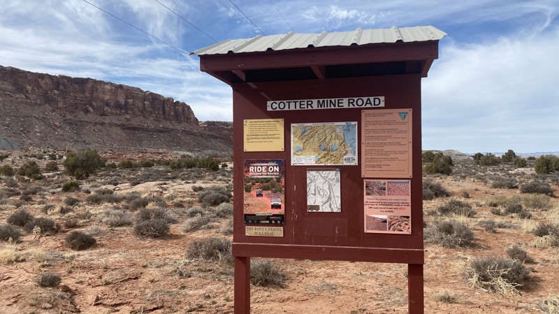
Cotter Mine Road
Moab, Utah
Railroad tracks and powerline give way to breathtaking views of the north side of Sevenmile Rim. There are several designated dispersed campsites along this route. This trail leads to other trails in the area and gives you a chance to check out dinosaur tracks even!
Updated: 09/10/2026
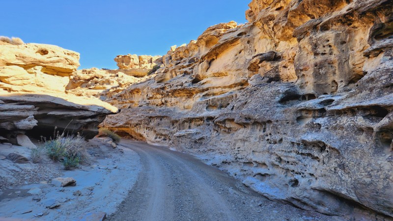
Crosby Canyon
Big Water, Utah
Crosby Canyon is a very scenic canyon trail that follows in and out of a wash taking you from Smoky Mountain Road down to the shores of Lake Powell. When dry, the path is fairly simple but can become quite difficult if muddy. It also has the potential to be dangerous with flash floods, so users should pay close attention to the weather. The end of the trail has some deep, soft sand, thus 4WD is highly recommended. Some camping can be found at the end of the trails.
Updated: 06/05/2022
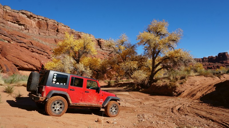
Lockhart Canyon
Monticello, Utah
Lockhart Canyon is near the Canyonlands National Park Needles District, directly off the famous and iconic Lockhart Basin. It is an entirely different driving experience altogether than the more popular trail. Taking you to the edge of the Colorado River, it travels deep into a canyon, following a wash almost the entire time. Remote and scenic, this off-road trail gives you plenty of fun wash driving and should be done if you are driving the entire Lockhart Basin Trail.
Updated: 08/11/2026
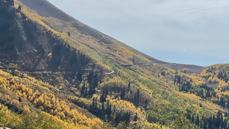
Squaw Peak
Orem, Utah
This definitely isn’t the fastest way to get from Orem to Springville, but it is certainly one of the most fun ways. The road is paved up to Hope Campground, the first of several USFS campgrounds. All the campgrounds close for winter. However, there is abundant dispersed camping along the trail. Squaw Peak has a little bit of everything, including mountain and canyon views, camping, and several hiking trailheads. After Rock Creek Campground, the 2nd USFS campground, the road narrows, and drainage moguls cross the road. High clearance isn’t necessary, but you may drag your belly going over some of the taller rollers.
Updated: 06/05/2022
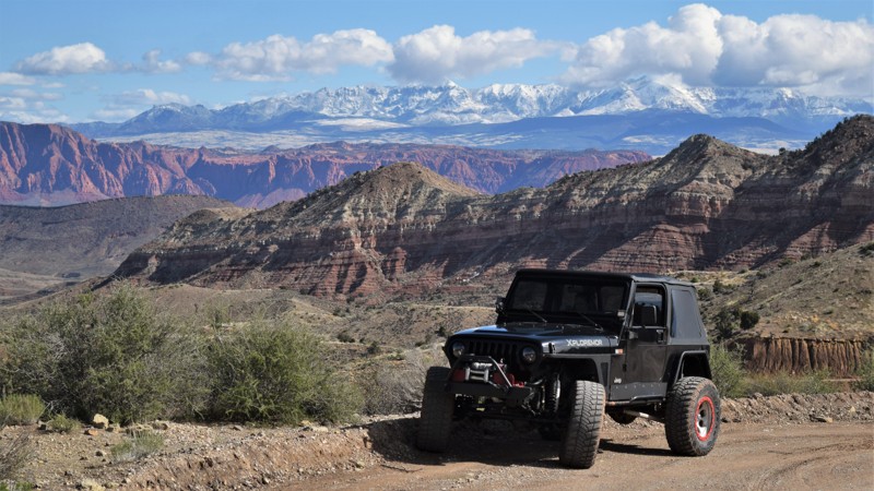
Joshua Tree Scenic Byway
Santa Clara, Utah
The Mohave Desert Joshua Tree Scenic Byway, located near St. George, Utah, is an easy and enjoyable escape from the rush of everyday life. It traverses 18 miles through the scenic mountains of the Beaver Dam National Conservation area with access to numerous other easy trails in the region. You'll have vast panoramas of the St. George valley, Red Mountain Wilderness, and the Beaver Dam Mountains along the trail. You can take the side trail to visit the Bloomington Caves, a vast underground labyrinth for those looking for a little more adventure. Hiking and rock climbing are also popular at Woodbury Crags and Kelly Rock. The camping is remote and away from all the city glow that can take away from your nighttime star gazing. There are numerous campsites with large enough space for you and a group of friends.
Updated: 04/04/2023
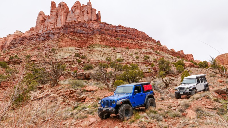
Dry Fork Bull Canyon
Moab, Utah
Seclusion, desert valley floors, high canyon walls, vegetation, and a meandering wash make Dry Fork Bull Canyon worth exploring. Situated near Moab, Utah, and a quick drive from the famous Gemini Bridges Road, this trail gives you that remote feeling that many off-road explorers seek. Once deep into the canyon, there are endless nooks and crannies along the edge of its walls to explore in detail by foot.
Note: This is not the more well-known trail, "Bull Canyon."
Updated: 06/08/2024
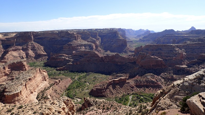
The Wedge Overlook
Castle Dale, Utah
The San Rafael River may not seem all that mighty, but it has carved its way through Central Utah creating some of the most incredible sights throughout the state. Also known as the Little Grand Canyon, The Wedge is one of these sites. Over 1,200 feet below lies the river, rich with history of the Fremont Indians that inhabited this area over 2,000 years ago. With two overlooks to view the seemingly endless canyon, you are sure to be impressed. Combine this short trail with Buckhorn Draw to make for a fun day exploring some history within the San Rafael Swell.
Updated: 01/29/2024
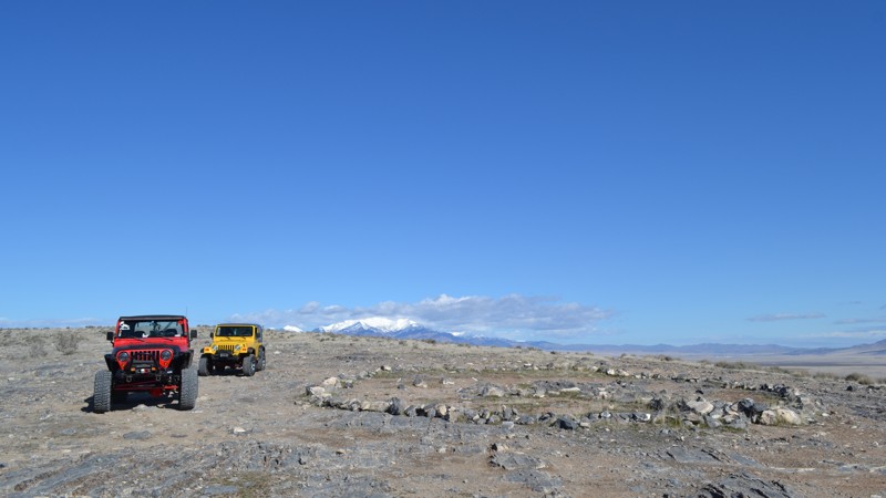
Nutty Putty Cave
Elberta, Utah
Out in the West Desert of Utah lies a cave. Known by most locals, and now even across the country, this hydrothermal cave has become infamous. In 2009, a gentleman by the name of John Edward Jones went in to explore the cave with his family, never to climb back out. Now a gravesite, Nutty Putty Cave has been closed for good, and there has even been a movie created about the whole unfortunate incident, The Last Descent. Still, people often come to check it out. The trail around it provides light entertainment while the viewpoint just north of the cave allows for nearly 360-degree views of the surrounding desert. If you have come to the area for just a day, or to spend a weekend away from the city, this is a must-visit area.

Updated: 03/27/2024
Panorama Point and Cleopatra's Chair
Hanksville, Utah
The Panorama Point Overlook 4WD trail in Canyonlands National Park offers an exhilarating journey through a stunning desert landscape. The rugged trail leads to sweeping vistas of the park's iconic red rock formations and deep canyons. The trail gradually ascends to the Panorama Point Overlook with an awe-inspiring panoramic view that stretches for miles, including the Las Sal and Abajo mountain ranges as well as a bird's eye view of the red rock canyons that give the Maze its moniker. From this vantage point, the layers of colorful cliffs and the meandering Colorado River create a breathtaking tapestry of nature's artistry. It's a must-visit destination for nature enthusiasts and adventurers seeking a remarkable experience in Canyonlands National Park.

Updated: 01/13/2024
Motoqua Road
Santa Clara, Utah
All good 4x4 adventures have to begin somewhere. Motoqua Road is an access route to several remote 4x4 trails within the Utah and Nevada deserts. The trail has an abundance of free primitive camping for all types of recreation vehicles or tents. The route is well-maintained gravel, smooth enough for large RV's to travel far out to a remote site to use as a base camp for exploring this vast region. There are multiple sites where a large group with tents can all camp together. Early in the route, you'll travel through a scenic canyon before you begin the long traverse up and down a seemingly endless number of rolling hills. For more scenery and an offroad challenge, visit the nearby Birthing Cave and Gunlock Reservoir trails.
Updated: 11/04/2024
Resurrection
Washington, Utah
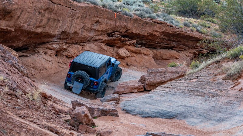
Traveling between Sliplock Gulch and West Fenceline Road, Resurrection is a 5-mile multi-section trail that provides a small taste of everything you can find within the Sand Mountain OHV area. The trail traverses two natural washes, climbs small, off-camber slickrock waterfalls, visits two bluffs with amazing views, pounds through soft sand, and provides an incredible look of the southwest desert flora.
Resurrection can easily be split into three separate sections with three separate difficulties. The first section, starting at Sliplock Gulch, lasts 0.55 miles and is the most challenging section as it snakes its way through a sandy-bottomed wash with several small slickrock obstacles. These obstacles will articulate your suspension and roll your center of gravity up to 25 degrees. One obstacle, named Skully's Pinch, will require you to traverse up a narrow, two-step cut in the slickrock while leaning to the passenger side, potentially causing rear corner damage. This first section climbs out of the wash as you pass an optional 10-foot waterfall climb and approach the first trail finger. This finger makes its way around Resurrection Rock with great views of Sand Hollow State Park and offers a few flexy holes and a poser rock to take photos. 35'' tires are recommended for long-wheelbase vehicles, while 33'' tires are suitable for short-wheelbase vehicles.
The second section starts on a plateau before dropping downhill and weaving through a second canyon known as Jacob's Draw. This canyon slowly increases elevation and traverses long slabs of slickrock that visually look like long slip-n-slides. Several steep ledges must be climbed, but all are smooth and gradual, making for great traction. This second section is much easier than the first and is suitable for any vehicle but may require prior driving experience or a spotter.
The third section begins as you pass West Fenceline Road and create a big "U" back to West Fenceline. This section is a simple sandy road with occasional protruding rocks, passing through rich flora where you will see many cacti and other desert plants. The trail then heads east to another trail finger around Tombstone Bluff, where you can see an old tombstone and explore a 4'x'4x25' cave cut into the mountainside. This last section is suitable for any high clearance vehicle.
About Sand Mountain
Sand Mountain is an extremely unique parcel of public land. Designated as an Open OHV Area, riders are free to make their own trails. Due to this, many of the long-established named trail routes have several variations that can take easier or more challenging routes through the intended trail. The GPX track for this trail helps you navigate the area, but various lines, bypasses, and additional obstacles may exist along the way. Riders are encouraged to stay on existing trails and not unnecessarily drive over or destroy vegetation.
Fees
Riding on Sand Mountain is entirely free. However, there are multiple entry/exit points for the area, including "the tunnel," which connects Sand Hollow State Park to the open OHV area. Any entry into the boundaries of Sand Hollow State Park requires a Utah State Park Pass.
Requirements
When operating on Sand Mountain, users must attach an orange or red safety flag to the vehicle, rising at least 8 feet off the ground.
Updated: 05/01/2024
Strawberry Ridge (Duck Creek)
Duck Creek Village, Utah
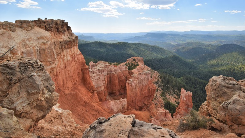
Strawberry Ridge at Duck Creek is the alternate trail to epic camping and a breathtaking vista. This route is the best way to reach the amazing cliff views at Strawberry Point and possibly find a great campsite along the way. This easy gravel road travels along a pine-covered ridge with an abundance of free primitive campsites. The trail is less crowded and a little more scenic than the residential sections along Strawberry Point trail. There are 20 plus campsites that are easily accessible for all 2wd vehicles, including passenger cars. The trail makes for an excellent basecamp area for when you're out exploring the hundreds of miles of OHV trails within the Dixie National Forest. Be sure to visit nearby Cascade Falls and the truly memorable Mammoth Cave.
Updated: 05/28/2026
Comb Ridge
Bluff, Utah
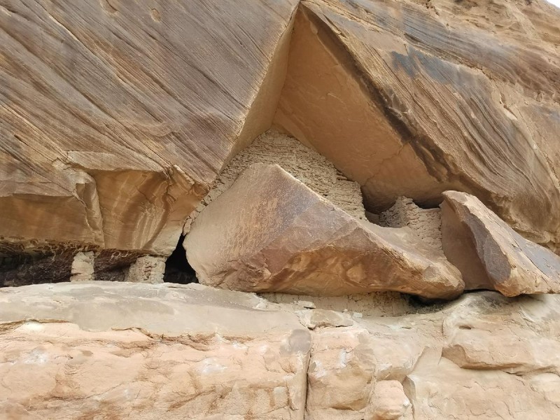
A true hidden treasure in the Utah desert. This area is rich with both ancient and recent history. It is interesting that no more than a few hundred yards apart there are Anasazi ruins that date at nearly 1000 years old and remnants of an old west trading post dating at 130 years old. This mix of historical timelines is not common to find so immediately close together. Add that to imposing red rock formations and the lush green San Juan river valley this is an oasis that you can walk through time visiting.

Updated: 06/22/2024
Iron Mine Lake
Kamas, Utah
Just over an hour away from Salt Lake City lies a playground. This playground offers over 2.1 million acres with any outdoor sporting activity you can imagine. The Uinta-Wasatch-Cache National Forest is quite the wonderland. This particular region lies just outside of Kamas, Utah, and is open to all kinds of recreation from backpacking to fishing, to just about anything with a motor.
Not far from the mouth of the canyon is the Soapstone Basin. This region runs right along the Lower Provo River and provides access to many streams, lakes, trails, and camping opportunities. Iron Mine Lake trail is one that provides it all. Be sure to bring a fishing pole if you plan on stopping at the lake, and your hiking boots if you enjoy a nice walk. Iron Mine Mountain is the second highest peak in this region of the Uintas!
Updated: 05/28/2026
Snow Flat Road
Bluff, Utah
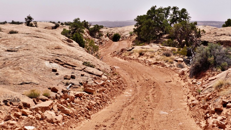
In 1880 the Hole in the Rock Pioneers were in their second year of forging a trail from Escalante, Utah, to what would become the village of Bluff on the banks of the San Juan River. Ahead lay a seemingly impenetrable maze of deep canyons cutting across Cedar Mesa. Running low on everything from food to parts to repair their wagons, the task seemed impossible. Scouts found a route, not an easy one but at least a possible one. Today you can drive that route with comparative ease on Snow Flat Road. The views down into Road Canyon are beyond impressive. The sawtooth pattern of Comb Ridge dominates the eastern horizon. The twin buttes of Bears Ears stand vigilant guard to the north. Driving the slick rock of the Twist demands your attention. There are several dispersed campsites scattered along the trail. Sometimes chasing history can be fun!

Updated: 12/18/2023
Constrictor
Fairfield, Utah
This is one of the harder trails within this network, other than Sidewinder. Even more modified rigs will be put to the test just to get to the hardest of the obstacles; Eagles Nest. At this point, you should expect breakage or a rollover if you even have the guts to attempt this wall. There is a winch point beyond it, but it can only help so much. Many people turn around at the sight of Eagles Nest, however, a few have made it beyond this point and reached the top. This is a great trail for a bit more of a challenge within "the snakes" as the locals call it. Consisting of 5 total well-established trails, this area is sure to never leave you wanting more.
Updated: 07/20/2026
Staircase
Moab, Utah
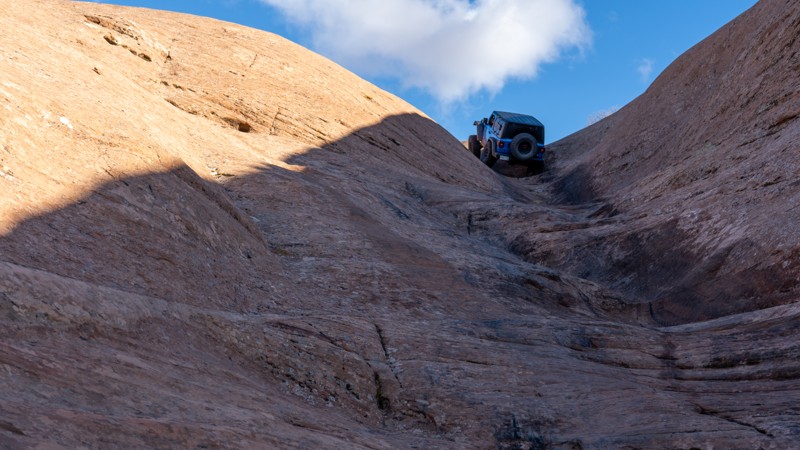
The Staircase is an older optional route previously closed for 10-15 years. Added back onto the Hell's Revenge trail map in 2022, this difficult slickrock chute is an excellent connector from Tip-Over Challenge to the large slickrock domes near the start of Hell's Revenge. The trail is one-way from west to east and descends a steep, narrow hill before leveling out and approaching the namesake obstacle. The main obstacle is a steep, slickrock chute with several off-camber ledges and deep holes. Tire placement is critical and short-wheelbase vehicles will find this obstacle more challenging.
This trail is best suited for experienced drivers with well-equipped off-road vehicles. Good suspension travel and traction aid devices such as lockers are highly recommended.
Updated: 06/08/2023
Kanarra Mountain
Cedar City, Utah
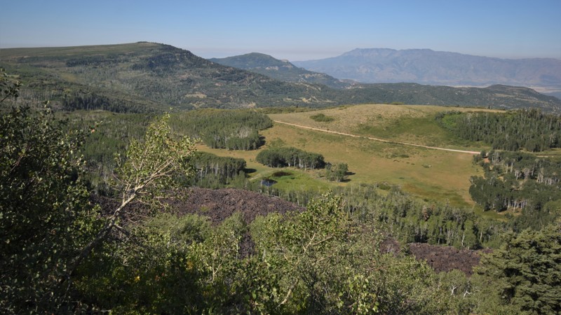
Kanarra Mountain Road is a scenic gateway to the higher elevations of the Kolob Terrace in southern Utah. The route travels up a picturesque canyon with bright red sandstone cliffs before reaching the cooler temperatures and scenic vistas above 9000 feet. While this route may not offer much camping, the route leads to Kolob Terrace Road which leads to some truly memorable lakeside camping at Kolob Reservoir. At the trailhead, be sure to stop at the large wooden sign that has a brief description of the South Rim of the Great Basin. You'll read how the region was formed and explored by the early settlers. The Kolob Terrace region of southern Utah is intertwined with a vast network of county roads leading to countless private vacation homes.
Updated: 03/22/2024
Lost Spring Wash
Green River, Utah
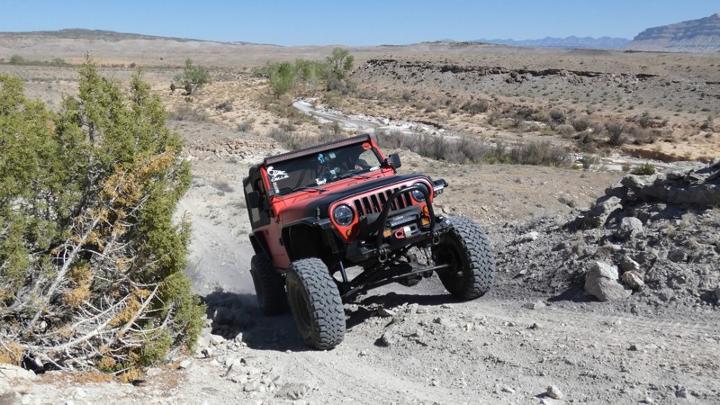
Follow the trail of the early settlers traveling along the edge of The Swell. Little-known and lightly traveled Lost Spring Wash trail is an ideal addition to Cottonwood Canyon Road, making for an excellent historic 4x4 tour. Because this particular canyon has annual water at its springs, the original route was part of the Old Spanish Trail. The early settlers would follow the water and mark their way with rock cairns. The trail zigzags along and into a rocky and picturesque canyon. For the adventurous type, numerous obstacles offer fun but difficult challenges. The trail is ideal for those looking to push the boundaries in their stock-type 4x4 vehicles. Running the trail in reverse, south to north is the most scenic and challenging.
Updated: 09/27/2023
San Rafael River Road/Mexican Mountain
Castle Dale, Utah
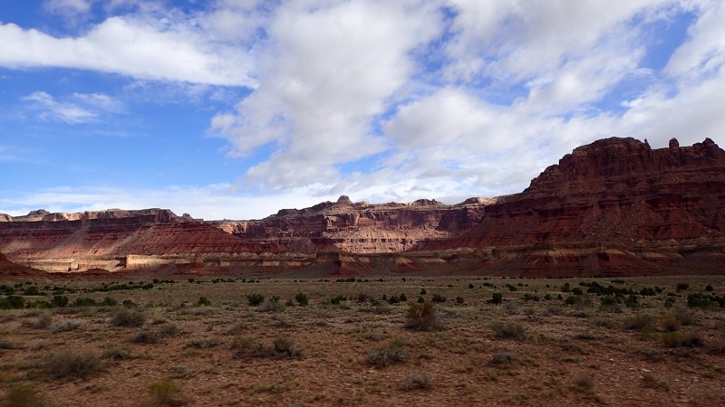
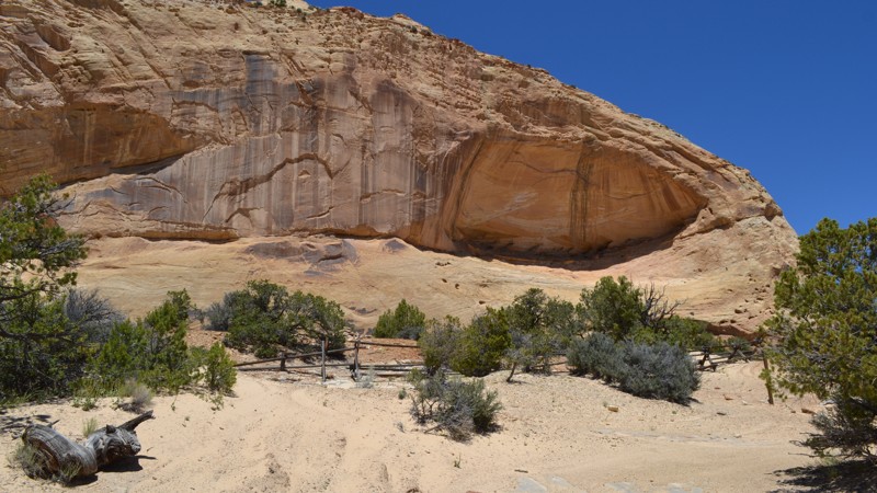
Tucked into the northern portion of the San Rafael Swell lies Mexican Mountain, a mound of black and red/orange Coconino Sandstone. The San Rafael Swell is one of the most unique geological areas in the world, carved away by wind and water and leaving behind some incredible features. The northern area of the swell is home to The Wedge, also known as the Little Grand Canyon, as well as Buckhorn Draw which boasts multiple pictographs and petroglyphs left by the Fremont Indians over 2,000 years ago. The small but mighty San Rafael River carved its way through this area leaving patches of lush vegetation creating many incredible camping opportunities. Running alongside this river is the San Rafael River Road/Mexican Mountain Trail, which takes you from San Rafael Bridge Campground off of Buckhorn Draw and back toward the mountain itself. Although well maintained, this off-road trail is well worth your time for some of the most incredible scenery within the San Rafael Swell.
Updated: 04/29/2023
Copper Globe Mine
Emery, Utah
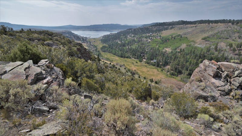
Located in the remote Central Utah Desert lies the San Rafael Swell. This area is known for its vast beauty and countless recreational opportunities including a large network of trails open to motorized, mechanized, equestrian, and foot travel. In the western side of the San Rafael Swell is a mine tucked away in the hills known as Copper Globe Mine. This mine was a failed copper ore mine with operations between 1900 and 1905. The quality of the ore was poor, and the material used to make the smelter melted before the ore causing the smelter to collapse. There is still plenty of evidence of the mine from large log piles to a little shack with a stove. You can spend hours exploring the area or choose to keep exploring connecting routes. Either way, you are sure to have a good time exploring the western area of the Swell.
Updated: 05/01/2024
Panguitch Lake
Panguitch, Utah
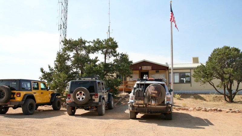
Panguitch Lake is where some of Utah's largest rainbow trout are fished each year; it's no wonder since the Paiute word for "big fish" is Panguitch. Visitors to the lake can also enjoy canoeing, camping, and exploring the Panguitch Lake OHV Trail System. As Utah grew in the late 1800s, the Panguitch Lake area became a retreat for people from all over southern Utah. You’ll find restaurants, boat rentals, general stores, lodges, and cabins for rent. Summer is the most active time of year around the lake, but during the winter months, ice fisherman and outdoor enthusiasts flock to the area for cross-country skiing and snowmobiling. This trail easily descends 2,600’ through a beautiful mountain region within Dixie National Forest, ending in the valley near Parowan, Utah.
Updated: 02/02/2026
Hans Flat Road
Hanksville, Utah
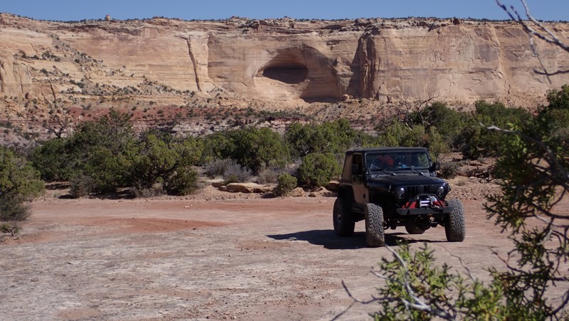
Hans Flat Road runs 20.9 sandy miles from Lower San Rafael Road to the Canyonlands Maze District's Hans Flat Ranger Station. The road is easy but has a lot of washboarding in sections. The most difficult part of driving this road is controlling your anticipation. The Maze District of the Canyonlands National Park is one of the most iconic destinations for dedicated offroaders. The Maze District is the only national park area that has not a single foot of paved road surface. When checking in at Hans Flat, expect the ranger will examine your rig, question your driving experience, and verify you are bringing enough water. A trip into the Maze is a serious adventure. Vehicle recoveries are difficult and extremely expensive. But it's oh so worth the effort.
There aren't many camping opportunities on Hand Flat Road and camping in the Maze District must be reserved ahead of time. There is camping along the Lower San Rafael Road.
Updated: 06/14/2024
Nielsen Dugway
Green River, Utah
Whether beginning or ending your adventure into the San Rafael Swell with the Nielsen Dugway trail, the yellow and orange sherbet cliffs are always a wonderful backdrop. The few challenges do little to distract from the views of towering rock buttes that poke out behind the Ponderosa Pines and Rocky Mountain Juniper trees that line the trail. The contrasting layers of the sandstone cliffs are incredibly vibrant along this specific trail within The Swell. Set up basecamp near the southern trailhead to explore all the historic stops this region offers.

Upgrade your Membership
Unlock all of the details on every Trail Guide and Scout Route.
Start a 7-day Free TrialBrowse Trails in Utah by City
Browse every Utah city with offroad trail guides.
Community
Partners

