










By clicking "ACCEPT", you agree to be the terms and conditions of each policy linked to above. You also agree to the storing of cookies on your device to facilitate the operation and functionality of our site, enhance and customize your user experience, and to analyze how our site is used.
Utah Off-Road Trails
359
Total Trail Guides 334

4759
Detailed Waypoints 925
Try a Free 7-Day Trial and unlock it all
Start a Free Trial Most Recent Trail Reviews
No Rating
Open
Visited: 09/24/2026
This trail has been graded recently and is now an easy trail.

IE
Ingrid Enyeart
Rated 5/5
Partially Open
Visited: 09/22/2026
The portion of the trail between the fork at 11 and the fork at 13 has two major ledges that have formed going into and out of the wash. Not sure what vehicle could overcome these. So just take the sc...


CI
Christine Irsik
Rated 4/5
Open
Visited: 09/22/2026
We enjoyed this trail and will definitely do it again. Gorgeous views at many points along the trail. We didn’t try The Wall, but everything else was just enough of a challenge for us and nice that m...
LF
Leslie F
No Rating
Open
Visited: 09/22/2026
Drove out here in a thunderstorm after doing dome plateau overlook. Epic camping. peaceful. unparalleled views. trail had two steep rocky sections I used 4wd low but probably didn't need to.

JR
jon ross
No Rating
Open
Visited: 09/21/2026
This is a short 2 mile of so cut off trail. Has a wash out with a by pass half way through.



Earl Neisler
Earl Neisler
Rated 2/5
Open
Visited: 09/21/2026
Pinstripe Alley nonstop for the first 4 miles. INo view to be had until waypoint 7. It was a beautiful view then we turned around. Should’ve read the reviews before we started the trail, because th...
LF
Leslie F
Rated 5/5
Open
Visited: 09/21/2026
This is a highlight for the trip. We stayed at waypoint10 for the night.


Earl Neisler
Rated 4/5
Open
Visited: 09/21/2026
Nice connector. The short out back was the hardest and not that short.


Earl Neisler
Rated 4/5
Open
Visited: 09/21/2026
A well maintained road. Found a nice camp site on the south in.
Earl Neisler

Jesse Martin
Jesse Martin
Rated 5/5
Open
Visited: 09/20/2026
Great area to go camping and gather for family reunions. There are multiple other trails that fork off throughout the trail to explore.

Dustin
Earl Neisler
Rated 5/5
Open
Visited: 09/20/2026
Only did apart due to time. This is 1 I will come back and finish.

Earl Neisler
Rated 3/5
Open
Visited: 09/20/2026
Not much to say it a slow easy. A good connecting trail.
Earl Neisler
No Rating
Open
Visited: 09/20/2026
We started just south of Cottonwood Canyon. We stop and looked but could not fine the rock art. The area was a nice to see all the green.


Earl Neisler
Rated 4/5
Open
Visited: 09/19/2026
Great trail, we drove through waypoints 24-35. Easy ride with a good amount of mud holes with few ruts on the stretch we drove. Would love to complete the whole trail at a later date.
Dustin
Rated 4/5
Open
Visited: 09/19/2026
Fun easy trail. Great way to get out and enjoy a relaxing trail ride to take in nature and see the fall colors.
Dustin
Rated 5/5
Open
Visited: 09/19/2026
Great Trail! The scenery was good with lots of wildlife. The trail was diverse that give drivers the opportunity to use both high and low four wheel drive. Trail has both wide and narrow areas.
Dustin
Rated 5/5
Open
Visited: 09/18/2026
I run this trail every year. Always fun and beautiful views. Fair amount of off camber sections.

Jeff Klaassen
Rated 5/5
Open
Visited: 09/18/2026
This was a good trail. The trail still had so flood damage but was passable. Highly recommended this. Has some all some view. We took 2 day to enjoy the ride and views.


Earl Neisler
No Rating
Open
Visited: 09/16/2026
Very fun, short trail. We did the loop but not Wipeout Hill. The sandy sections were a blast and there were a few ledges and obstacles that probably warrant a 5 but are still a fun challenge. We did i...



Mark Signorelli
Rated 4/5
Open
Visited: 09/15/2026
Ran this one and it's a decent stretch for anyone with a high clearance 4x4. The early sagebrush section had me watching my GPS track closely since the road nearly disappears a few times, but it alway...



Jay North
Official Crew
Rated 4/5
Open
Visited: 09/15/2026
Ran this as a quick add-on while working through the rest of the Red Hills network, and it's a fun one to knock out in under an hour. The wash crossing is the one spot where you actually have to think...


Jay North
Official Crew
Rated 3/5
Open
Visited: 09/15/2026
Ran this one on a dry afternoon and came away satisfied without being blown away. The rocky, rolling grade keeps things interesting without ever feeling out of reach for a stock high clearance rig, th...


Jay North
Official Crew
Rated 4/5
Open
Visited: 09/15/2026
Ran this one on an afternoon when I didn't have time for a full day out, and it delivered more than I expected for a short climb. The hill about a mile in makes you actually think about your line, and...


Jay North
Official Crew
Rated 4/5
Open
Visited: 09/13/2026
Red Peak Road is a short, easy cruise that's mostly smooth dirt with just enough texture to keep it interesting. There's a mild rough patch early on and a slightly rockier stretch past the halfway poi...


Jay North
Official Crew
Rated 2/5
Open
Visited: 09/13/2026
This is an easy, low-key cruise with a short technical bump right in the middle where it ties into the rest of the network, otherwise it is just packed dirt and gravel the whole way. Nothing here dema...


Jay North
Official Crew
Rated 4/5
Open
Visited: 09/13/2026
This one's an easy, mellow cruiser and it shows in how quick it feels behind the wheel. The rocky spots near the start and about two thirds up are barely worth mentioning, just some careful tire place...


Jay North
Official Crew
Rated 5/5
Open
Visited: 09/13/2026
This one's a fun add-on if you're already out in the area, easy enough for most of the way that a stock rig won't break a sweat, with just a couple of hard spots to keep things interesting. The washou...


Jay North
Official Crew
Rated 4/5
Open
Visited: 09/13/2026
A nice view of Kanab. Steepish and possibly slick when muddy. One spot has a small rock shelf. 4x4 recommended.


Ben Ruddell
Official Crew
Rated 3/5
Open
Visited: 09/13/2026
Easy, suitable for high clearance 2WD on a dry day, though four wheel drive earns its keep if the ground's been wet. The ruts along the way are mild and easy to place your tires around, and the two wa...


Jay North
Official Crew
No Rating
Open
Visited: 09/12/2026
Crazy no reviews since I ran it last May. We ran it again this time the whole trail out to the south overlook. It had rained the night before and into the morning. The rock dried up quick but a lot o...



Andrew Hotton
Rated 5/5
Open
Visited: 09/12/2026
Sand dunes. DANGER, you need to know your technique to head in here. It’s easy to misjudge slope and camber and get stuck or worse roll.


Ben Ruddell
Official Crew
Rated 3/5
Open
Visited: 09/12/2026
The section of the trail was rocky and rough - still fairly easy but the rockiest stretch.
WF
Wyatt Frampton
Rated 4/5
Open
Visited: 09/12/2026
This trail checks so, so many of the boxes -- hanging off a cliff, passing within 4" of rocks on BOTH sides at the same time on narrow sections, meaningful obstacles (ledges) where I smacked my hitch ...
IR
Isaac R
Rated 3/5
Open
Visited: 09/12/2026
This is an easy, high clearance 2WD road, easy enough that the drive itself isn't the draw. The shelf road stretch is mild and only about two jeeps wide, so keep an eye out for oncoming traffic, and t...


Jay North
Official Crew
Rated 2/5
Open
Visited: 09/12/2026
This is a mellow, low-stress drive that rewards a relaxed pace more than any technical challenge. Stock high clearance handled every mile without a second thought, and the surface stayed predictable e...


Jay North
Official Crew
Rated 5/5
Open
Visited: 09/11/2026
Great rest quick trail! Perfect for beginners, fun place for a picnic. The entrance and exit terrain to the tunnel changes depending on the weather and use. Very fun and interesting.


Dustin
Rated 4/5
Open
Visited: 09/11/2026
My route didn’t originally include this trail, but one of my crew broke on impossible hill and we had to limp back to civilization. This trail was beautiful and remote. Difficulty wise, no issues on t...



Dewie Jones
Official Crew
Rated 4/5
Open
Visited: 09/10/2026
Way better than I thought it would be. This was simply a connector trail for my unsuccessful (broken Toyota) Blanding to Moab overland trip. The trail is absolutely beautiful, relatively fast access, ...
Dewie Jones
Official Crew
Rated 3/5
Open
Visited: 09/10/2026
Easy enough that I did this road in pitch-black with just headlights (no light bar or anything) on the way to see sunrise from the end of the trail (Hurrah Pass). Really straightforward, just rocky li...
IR
Isaac R
Rated 4/5
Open
Visited: 09/10/2026
Incredibly beautiful road and not really rough at all -- I did a bunch of with fully-inflated tires. I know it's just a connector but honestly I would 100% come out here again to enjoy the views, hang...
IR
Isaac R
Rated 4/5
Temporary Closure
Visited: 09/10/2026
Deep mud around river crossing prevents passage. We came from Goblin Valley side, we were able to cross the river but there was deep mud on south side due to recent rains. Almost got stuck, had to go ...

Thomas A Youngerman
Rated 5/5
Open
Visited: 09/09/2026
Incredible bucket list trail that you must do if you can. DON'T do it in 1 day unless you like rushing it, unfortunately circumstances changed that required us to rush it. It's gorgeous and worth an o...



Sean Allen
Rated 5/5
Open
Visited: 09/09/2026
I built this into our rocklanding/overland route and really enjoyed the adventure. You can tell this isn’t well traveled which added to the experience. With that said, we’re trying to get to Moab from...


Dewie Jones
Official Crew
Thomas A Youngerman
Rated 5/5
Open
Visited: 09/08/2026
Great as always, high rewards in terms of views and nothing crazy in terms of obstacles. Great first trail for someone to do with a great payoff!


Sean Allen
Rated 5/5
Open
Visited: 09/08/2026
Fun trail, would run again. Had lunch between Monitor and Merrimac buttes.


Thomas A Youngerman
Most Popular

Updated: 02/17/2024
Horse Canyon Road
Green River, Utah
Isolation, desolation, and solitude can all describe the Book Cliffs region in eastern Utah. The 230-mile-long Book Cliffs run along the Highways from Price, UT to Grand Junction, CO, calling out to the adventurous traveler. Horse Canyon Road will deliver you to the doorstep of an area very few have ventured. It winds through a scenic canyon before climbing to the first tier along these towering cliffs. Once you're up on top, you'll zigzag along the edge of the Floy Canyon Wilderness Study Area, all while soaking in how pristine the terrain is, seemingly undisturbed by modern man. While linking this trail with others in the area, you will experience addictive isolation.

Updated: 09/10/2026
Hell's Gate
Moab, Utah
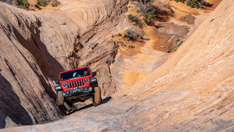
Hell's Gate is a famous and challenging optional route along Hell's Revenge Trail. Hell's Gate is best known for its steep, narrow, V-shaped climb with vertical walls, requiring drivers to carefully navigate their vehicles through a narrow slickrock channel. This obstacle is the poster child of many "Moab Failure" YouTube videos and always gathers a crowd.
The well-marked horseshoe-shaped trail starts near the overlook on the northern end of Hell's Revenge. Drivers must first negotiate a steep, 100-yard rutty descent while straddling a v-notch crack in the slickrock. This section is known as "Descending Into Hell." After reaching a sandy flat, the trail turns east for the "Climb Out of Hell," another steep, slickrock v-notch that cycles your suspension and lifts the front wheels of short-wheelbase vehicles. Longer wheelbase vehicles have an easier time ascending the steep climb.
Hell's Gate is not for the faint of heart and is only recommended for experienced off-road enthusiasts with well-equipped off-road vehicles. Novice drivers should avoid this obstacle-laden track. Traction aid devices such as lockers are highly recommended.
Updated: 11/10/2025
Davis Canyon
Monticello, Utah
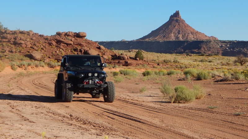
Utah's Canyonlands hide countless Native American artworks and ancient structures throughout its endless labyrinth of canyons. Deep within Davis Canyon, you can escape the crowds and have a few of the best-preserved historic sites all to yourself. These are the unmarked sites you won't find on any travel brochures. The granary on the cliff at Waypoint 9 is a nice stop with an exciting climb to view the precariously stacked stone structures. You can hike further into Davis Canyon to view the extremely well-preserved Five-Faces pictograph at the trail's end. Believed to have been left behind by the Anasazi hundreds of years ago, the stone structures and artwork found all over the area are exceptionally well preserved. Combining Davis and Lavender Canyons is a beautiful all-day or weekend adventure within a mesmerizing landscape.
Updated: 10/22/2023
Tusher Tunnel
Moab, Utah
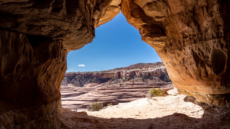
Tusher Tunnel is one of those offroad trails around Moab, Utah, that you need to drive at least once. It will provide an interesting side excursion to your already packed list of must-do trails. It leads to a unique geological feature, a naturally formed tunnel 83 feet long created by water seeping through a crack that dissolved away the rock when it reached a more complex layer of stone. As you walk through the tunnel, it feels like a transformative event as you get to the other side, and your eyes lay sight on an entirely new landscape.
Updated: 05/13/2025
Salt Creek Canyon
Monticello, Utah
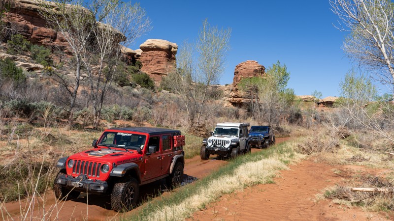
As one of the few trails in the Canyonlands Needles District, Salt Creek Canyon provides you with incredible scenery, a bit of excitement, and access to an excellent backcountry campground. This 4wd trail is not just a walk in the park. Despite its arid desert location, this trail has plenty of spring-fed water, providing life to lush vegetation. The surrounding rocks are sure a sight to see with the black streaks staining the iconic southern Utah red. This is an absolute must-do if you are in the area and can snag up one of the ten available vehicle permits issued daily. Also, please remember that since you are within the National Park, pets are not allowed.
Updated: 05/04/2024
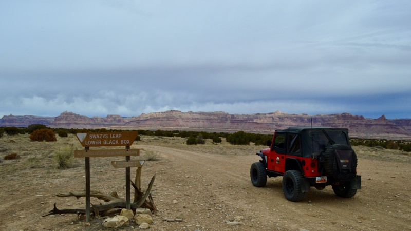
Swasey's Leap
Green River, Utah
Local folklore has it that Sid Swasey bet his brother, Charlie, that he could jump his horse over the 14-foot wide, 60-foot deep gap. The story goes that he completed the jump and won the bet. Another variation is that Sid was running from the law and made the jump to escape. There is even a poem to of this variation. Even though you can no longer drive all the way to the site of this feat (it is a two-mile hike past the locked gate at the Mexican Mountain Wilderness Study Area boundary), the trail offers quiet solitude, easy offroading, and spectacular high desert scenery. Combine this trail with Jackass Benches and Sulpher Springs to make for a day of adventure!

Updated: 07/13/2024
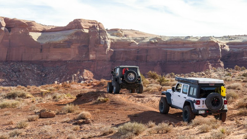
Murdock Basin Road
Kamas, Utah
The Uinta Mountains in northeastern Utah are home to over one thousand lakes, hundreds of miles of streams, and endless camping opportunities. This gem of an area lies just over an hour from Salt Lake and has services nearby to supply your adventure whether it is just a day or extended out for a week. While only accessible for a few months out of the year, there is more than enough land for everyone to spread out and enjoy. Even on the busy weekends, you can find yourself some peace and quiet. If you have never visited the Uinta Mountains, be sure to add it to your bucket list and get out on one of the hundreds of forest roads webbing throughout the land.
Updated: 03/29/2024
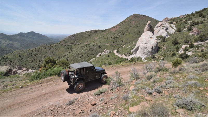
Rainbow Rocks (Rainbow Terrace)
Moab, Utah
Hidden behind the iconic Tombstone Butte, Rainbow Rocks is a windshield full of towering red cliffs. Also known as Rainbow Terrace, its name comes from the multi-layered Entrada Sandstone cliff faces. The vertical red wall creates a colorful boundary along most of the trail. The rocks are particularly stunning in the early morning or late afternoon sun. You'll begin by rolling up and down sandy hills, taking glimpses of Lost World Butte through lush desert vegetation. You'll twist through the maze of house-sized boulders that make any vehicle look small. While the views are amazing, the trail has enough challenges to entertain even the most hardened wheeler.
Combing Rainbow Rocks with Dee Pass, Salt Wash Road, and Crystal Geyser trails creates the Easter Jeep Safari "Crystal Geyser" route.
Updated: 04/13/2024
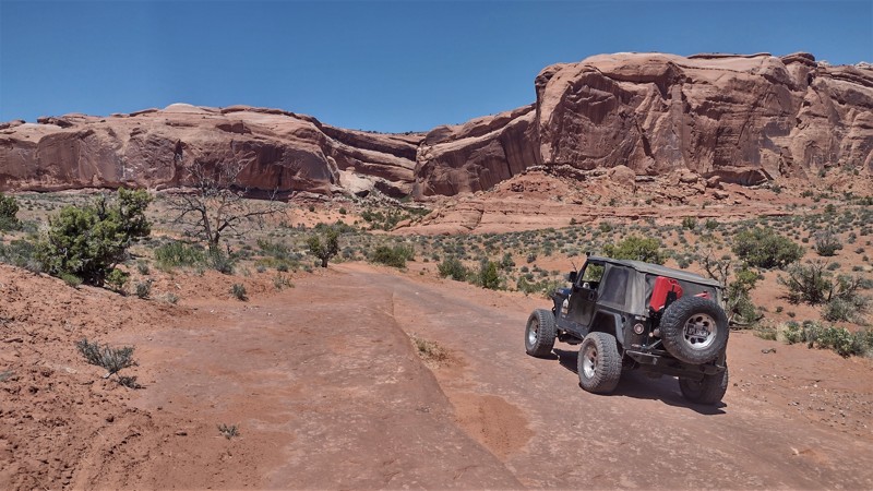
Slaughter Creek
Veyo, Utah
Slaughter Creek travels through the Dixie National Forest, along the edges of both Cougar Canyon and Slaughter Creek Wilderness areas, then exits north of Gunlock, Utah. Prepare for a long day on this 40-mile off-road route through a very remote high desert. You can expect to see breathtaking panoramas of rolling hills and unique white sandstone rock formations. You can choose to begin at Enterprise Reservoir and travel down to Gunlock, Utah, or in the warmer months travel up from Gunlock, ending for some camping and swimming at the lake. Either way, you will have a long but rewarding day on the trail.
Updated: 04/14/2025
Big Mesa Trail
Moab, Utah
Big Mesa is a logical yet rewarding addition to both Wipe-Out Hill and Bartlett Flat trails. These three trails challenge our vehicles while rewarding our souls with breathtaking views of 7-mile Point. Big Mesa has one 4x4 challenge that continues the feel of the other trails that traverse below the cliffs. Once you climb out of the wash, you will see mountain bikers cruising across bridges, traversing below the overhangs of the hidden natural arches, while you relax along this more leisurely section of trail.
Updated: 05/01/2024
Red Desert Road
Cedar City, Utah
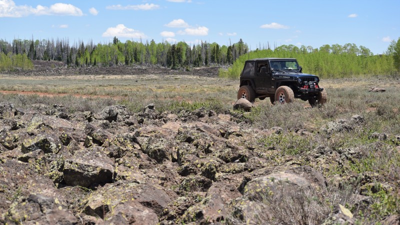
Red Desert Road is located within the Cedar Breaks region of the Dixie National Forest. This easy but very scenic route travels through lush mountain landscapes and wide-open prairie fields. Along the way, there are lava rock flows that wind their way through the trees and across the meadows. You can stop and view numerous craters left behind from when this region was littered with volcanic activity. The trail does have a few challenges in the middle section of the route. There is large lava rock in the trail and it becomes quite muddy from spring runoff. Connecting this trail Second Left Hand Canyon to the north, makes for a wonderful all-day adventure.
Updated: 10/11/2022
Gunlock Reservoir
Santa Clara, Utah
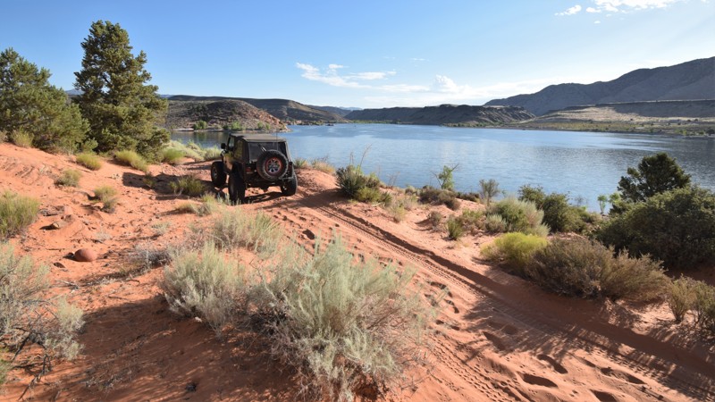
Gunlock Reservoir is 266 acres of tranquil waters located in the desert region of Utah, at an elevation of 3,584 feet. This route travels along the opposite shoreline from where the normal crowds gather. You will enjoy a challenging but scenic four-wheeling experience while having access to the sandy shores of a beautiful lake. Warm waters during summer and a mild winter climate make the reservoir a popular year-round destination. Largemouth bass, bluegill sunfish, and black crappie are the main fishing draws at Gunlock Reservoir. Green sunfish and black bullhead are also common, but they're less popular. Gunlock is known to produce trophy largemouth bass up to six pounds in weight. Bluegill and crappie are great targets for the kids. You can bring a kayak to paddle around the unique rock formations that jut out of the water. If you visit in early spring, the waterfalls on the south end of the lake are usually flowing, and you can park right next to them and relax for a bit.
Updated: 11/27/2023
Crystal Geyser Road (Little Valley Road)
Green River, Utah
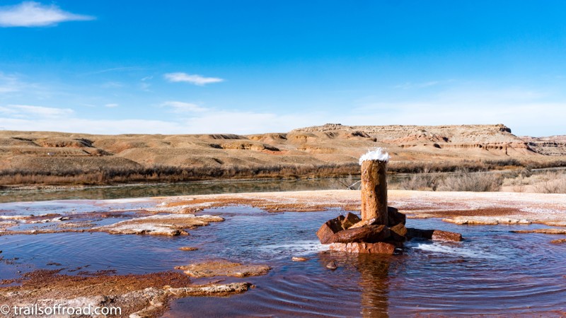
Crystal Geyser is a popular destination for off-roaders in Moab and Green River, Utah. Located only a few miles Southeast of Green River, Utah, Crystal Geyser is an example of a cold-water, carbon dioxide driven geyser. Geothermal activity is not involved in the geyser’s eruption. The tangerine, copper, and white colors deposited around the geyser’s base add a vibrant hue to an otherwise gray countryside. Crystal Geyser Road, also known as Little Valley Road, is the easiest and most direct way to the geyser itself. Several 4x4 trails meander through the rugged country between Moab and Green River and terminate at this very spot. One route, which is used during Moab’s Easter Jeep Safari, is called the Crystal Geyser Jeep Route. If you chose another route to the geyser, Crystal Geyser Road is the easiest way to depart the area.
Updated: 02/13/2026
Looking Glass Road
La Sal, Utah
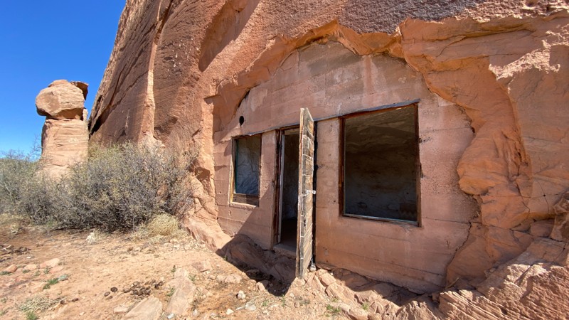
Looking Glass Road starts on Highway 191, south of Moab, Utah, and accesses Hatch Ranch Canyon. There are a couple of camping spots along the way and some interesting unique sights on this road, including some caves that were converted to dwellings and a community of eerily private houses. The road ends at Needles Overlook Road, which, if followed north, leads to the Anticline Overlook, which offers spectacular scenery overlooking several canyons and the Colorado River.

Updated: 10/15/2024
Sidewinder Exit
Fairfield, Utah
Looking for some excitement near Five Mile Recreation Area and Fairfield, Utah? Look no further than the area known as "The Snakes". This trail, in particular, was created to serve as an exit for the extreme trail known as Sidewinder, however, it is not for the faint of heart. With obstacles such as Buggy Bouncer and The Gauntlet, you are sure to not be bored. This offroad trail takes you quickly into the south end of the Oquirrh Mountain Range, rising in elevation with every inch traveled. This trail is well-used and changes often, providing newer challenges every weekend. Due to its proximity to Rattlesnake and Constrictor, as well as Five Mile Recreation Area, you will probably not be alone along this trail. Be sure to bring plenty of food and water as there are hundreds of miles to explore in the mountains just west of Utah Lake.
Updated: 02/05/2025
Hell's Backbone Loop
Escalante, Utah
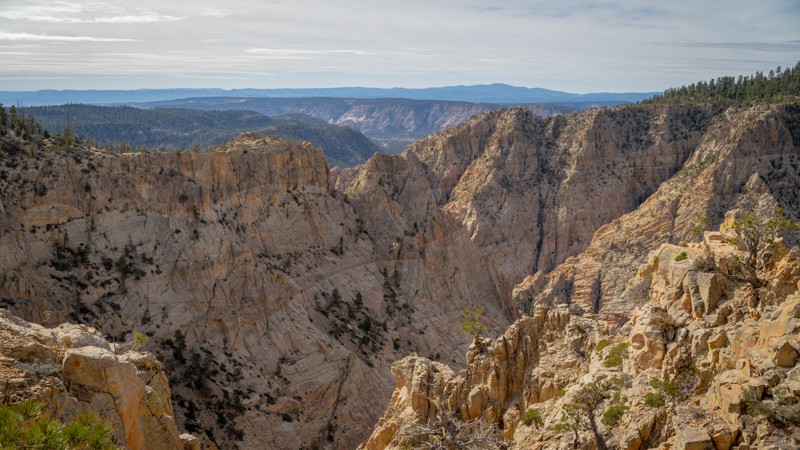
Boulder was arguably Utah's last frontier town as it is isolated, remote, and spectacular. Until 1933, the mail was delivered by mules capable of traversing the rough terrain of the area as no roads had been built to the tiny hamlet. As part of Franklin D. Roosevelt's 'New Deal' to relieve record unemployment during the Great Depression, the Civilian Conservation Corps was established, and building a road from Escalante to Boulder was a massive task given to four camps assigned to the area. The goal seemed nearly impossible given the deep canyons of the Escalante Staircase and the impassable ridges and ravines of Boulder Mountain, but regardless, the Civilian Conservation Corps (CCC) carved the 38-mile road along Hell's Backbone that included a 109-foot wooden bridge with a 1500-foot drop on each side (along with 22 other bridges). Today, a more modern structure has replaced the wooden bridge, but the breathtaking drop and amazing views remain as you stare directly into the heart of the Box-Death Hollow Wilderness Area. The easy, scenic drive through the Dixie National Forest is a visual delight, making for a fantastic family-friendly adventure that can easily be turned into an overnight stay at one of many dispersed campsites or local improved campgrounds.
Updated: 04/28/2023
E Kimball Draw/Cat Canyon
Emery, Utah
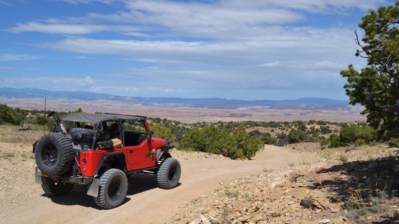
Winding its way through the canyons of the western San Rafael Swell lies the E Kimball Draw/Cat Canyon trail. A little bit rocky, a lot of camping and endless views are provided to you in this remote region of the Central Utah desert. This trail has a little bit of everything for the family to enjoy. Combined with Copper Globe Mine and the Reds Canyon Overlook Loop, you will be sure to have an adventurous weekend of exploring. Be sure to keep your eyes open for some wild horses!
Updated: 07/09/2026
FR 3301
Bryce Canyon City, Utah
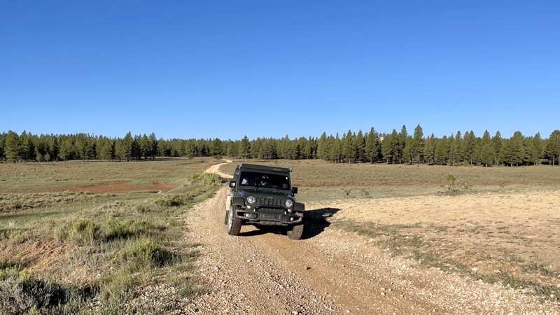
FR 3301 is a section of The Great Western Trail through the Dixie National Forest. The Great Western is a transcontinental route across Montana, Idaho, Wyoming, Utah, and Arizona. FR 3301 starts easily enough, getting progressively more challenging as you go along. It becomes steep, narrow, and very rocky, with a couple of washed-out areas toward the trail's end. Camping is permitted in designated dispersed campsites only. They are clearly marked throughout the trail. FR 3301 also runs parallel with Bryce Canyon National Park offering views of "Little Bryce Canyon" and a variety of wildlife.
Updated: 11/03/2023
Crystal Geyser Jeep Trail
Green River, Utah
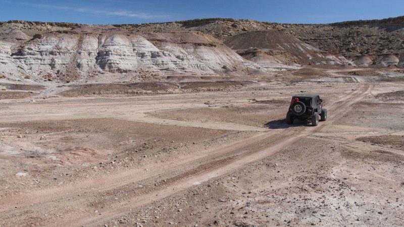
Crystal Geyser Jeep Trail is a trip through rural Utah's rugged desert country. This trail defines the term hitting the dusty trail. Layered multi-colored hills and boulder-lined cliffs surround this road. Considered the easy part of the famous Easter Jeep Safari Crystal Geyser route, this trail has unique desert views and multi-layered pinnacles of dirt that look like children's sand art. The area is rugged, isolated, and unpopulated, helping protect and repopulate the region's rare Desert Big Horn Sheep and Pronghorns.
Updated: 05/20/2026
Butler Wash
Tselakai Dezza, Utah
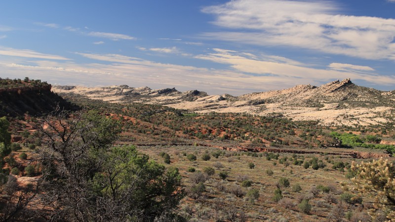
Butler Wash runs along the eastern side of Comb Ridge. Comb Ridge is a steep monocline running 80 miles in a north/south direction from Kayenta, Arizona, to the foothills of the Abajo Mountains. The sawtooth ridgeline is one of southeastern Utah's most prominent geological features. Ancient ruins and rock art litter the entire length of Comb Ridge.
Butler Wash runs between Highways 191 and 95. On the north end of the graded sandy trail are fossilized dinosaur footprints. Numerous pullouts along the trail double as campsites and hiking trailheads to ancient rock art and cliff dwellings. The eastern side of Comb Ridge slopes upward, thus creating the most accessible routes to the historic sites.
Bears Ears National Monument now charges for various activities in the area.
Updated: 01/12/2026
Widow Maker
Moab, Utah
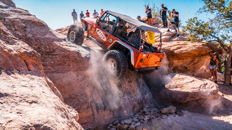
Widow Maker is a 1.3-mile-long optional spur route on the north end of the Metal Masher trail in Moab, Utah. The main feature of this spur is a steep and slick 10-foot vertical waterfall climb with no bypass. This difficult and technical obstacle requires a high degree of skill and precision to navigate successfully. The wall is known as "Widow Maker" because of the difficulty of getting over it and the high potential for rollover. This trail is not recommended for novice drivers or those with less capable vehicles. Additionally, short-wheelbase vehicles will find this obstacle exceptionally difficult to conquer. Large tires, dual lockers, plenty of horsepower, and a longer wheelbase will help you immensely.
Updated: 06/15/2026
Baby Lions Back
Moab, Utah
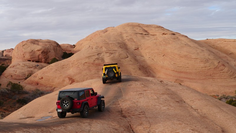
Baby Lions Back is a quick must-do side trip when driving Hell's Revenge or Fins and Things. The short drive takes 15 minutes or less and provides a thrill that you will remember for a long time. It is a one-way trail. Going up is not the issue, but coming down is very steep and ends in a pool of water that forms after rains or snow melt. The pool can be well above your vehicle's fording capacity. Exiting, you drive through one of the many designated campgrounds in the Sand Flats Recreation Area.
Updated: 03/29/2024
Tukuhnikivatz Arch
Moab, Utah
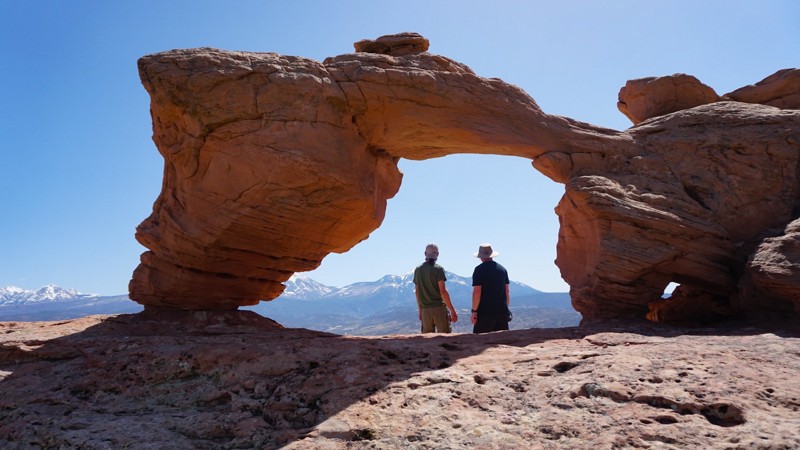
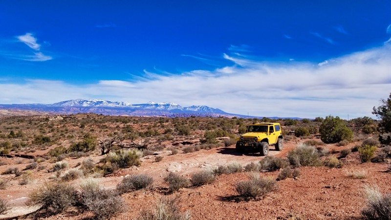
In Moab, The La Sal Mountains are usually in view and seemingly towering out of the desert. With its triangular sides, Mount Tukuhnikivatz is the most famed peak of the La Sal's and grabs most of the attention. This offroad trail takes you to the appropriately named "Tukuhnikivatz Arch," which perfectly frames the famous mountain. While there is no easy way to pronounce the name, it is said to mean "where the sun sets last" in a native language.
Updated: 10/31/2023
Arths Pasture Road
Moab, Utah
After an adrenaline-charged day of tackling Moab's more demanding offroad trails, Arth's Pasture serves as the perfect cooldown. While less technical, this trail doesn't compromise on the natural spectacle; it offers consistent, picturesque views toward the La Sal Mountains, making it a favorite spot for photo ops. As you reach the trail's end, the vista reveals the Manti-La Sal National Forest Mountain range and its surrounding wilderness. Although initially an exit route for the more intense Metal Masher, Arth's Pasture holds its own as a standalone out-and-back journey. For those looking to extend their adventure, this trail pairs excellently with nearby routes like Gemini Bridges, Four Arches Canyon, and Bull Canyon, making it an essential part of a full day of scenic yet manageable wheeling.

Upgrade your Membership
Unlock all of the details on every Trail Guide and Scout Route.
Start a 7-day Free TrialBrowse Trails in Utah by City
Browse every Utah city with offroad trail guides.
Community
Partners

