










By clicking "ACCEPT", you agree to be the terms and conditions of each policy linked to above. You also agree to the storing of cookies on your device to facilitate the operation and functionality of our site, enhance and customize your user experience, and to analyze how our site is used.
Utah Off-Road Trails
359
Total Trail Guides 334

4759
Detailed Waypoints 925
Try a Free 7-Day Trial and unlock it all
Start a Free Trial Most Recent Trail Reviews

P
Peaks&Pixels
No Rating
Open
Visited: 09/24/2026
This trail has been graded recently and is now an easy trail.
IE
Ingrid Enyeart
Rated 5/5
Partially Open
Visited: 09/22/2026
The portion of the trail between the fork at 11 and the fork at 13 has two major ledges that have formed going into and out of the wash. Not sure what vehicle could overcome these. So just take the sc...


CI
Christine Irsik
Rated 4/5
Open
Visited: 09/22/2026
We enjoyed this trail and will definitely do it again. Gorgeous views at many points along the trail. We didn’t try The Wall, but everything else was just enough of a challenge for us and nice that m...
LF
Leslie F
No Rating
Open
Visited: 09/22/2026
Drove out here in a thunderstorm after doing dome plateau overlook. Epic camping. peaceful. unparalleled views. trail had two steep rocky sections I used 4wd low but probably didn't need to.

JR
jon ross
No Rating
Open
Visited: 09/21/2026
This is a short 2 mile of so cut off trail. Has a wash out with a by pass half way through.



Earl Neisler
Earl Neisler
Rated 2/5
Open
Visited: 09/21/2026
Pinstripe Alley nonstop for the first 4 miles. INo view to be had until waypoint 7. It was a beautiful view then we turned around. Should’ve read the reviews before we started the trail, because th...
LF
Leslie F
Rated 5/5
Open
Visited: 09/21/2026
This is a highlight for the trip. We stayed at waypoint10 for the night.


Earl Neisler
Rated 4/5
Open
Visited: 09/21/2026
Nice connector. The short out back was the hardest and not that short.


Earl Neisler
Rated 4/5
Open
Visited: 09/21/2026
A well maintained road. Found a nice camp site on the south in.
Earl Neisler

Jesse Martin
Jesse Martin
Rated 5/5
Open
Visited: 09/20/2026
Great area to go camping and gather for family reunions. There are multiple other trails that fork off throughout the trail to explore.

Dustin
Earl Neisler
Rated 5/5
Open
Visited: 09/20/2026
Only did apart due to time. This is 1 I will come back and finish.

Earl Neisler
Rated 3/5
Open
Visited: 09/20/2026
Not much to say it a slow easy. A good connecting trail.
Earl Neisler
No Rating
Open
Visited: 09/20/2026
We started just south of Cottonwood Canyon. We stop and looked but could not fine the rock art. The area was a nice to see all the green.


Earl Neisler
Rated 4/5
Open
Visited: 09/19/2026
Great trail, we drove through waypoints 24-35. Easy ride with a good amount of mud holes with few ruts on the stretch we drove. Would love to complete the whole trail at a later date.
Dustin
Rated 4/5
Open
Visited: 09/19/2026
Fun easy trail. Great way to get out and enjoy a relaxing trail ride to take in nature and see the fall colors.
Dustin
Rated 5/5
Open
Visited: 09/19/2026
Great Trail! The scenery was good with lots of wildlife. The trail was diverse that give drivers the opportunity to use both high and low four wheel drive. Trail has both wide and narrow areas.
Dustin
Rated 5/5
Open
Visited: 09/18/2026
I run this trail every year. Always fun and beautiful views. Fair amount of off camber sections.

Jeff Klaassen
Rated 5/5
Open
Visited: 09/18/2026
This was a good trail. The trail still had so flood damage but was passable. Highly recommended this. Has some all some view. We took 2 day to enjoy the ride and views.


Earl Neisler
No Rating
Open
Visited: 09/16/2026
Very fun, short trail. We did the loop but not Wipeout Hill. The sandy sections were a blast and there were a few ledges and obstacles that probably warrant a 5 but are still a fun challenge. We did i...



Mark Signorelli
Rated 4/5
Open
Visited: 09/15/2026
Ran this one and it's a decent stretch for anyone with a high clearance 4x4. The early sagebrush section had me watching my GPS track closely since the road nearly disappears a few times, but it alway...



Jay North
Official Crew
Rated 4/5
Open
Visited: 09/15/2026
Ran this as a quick add-on while working through the rest of the Red Hills network, and it's a fun one to knock out in under an hour. The wash crossing is the one spot where you actually have to think...


Jay North
Official Crew
Rated 3/5
Open
Visited: 09/15/2026
Ran this one on a dry afternoon and came away satisfied without being blown away. The rocky, rolling grade keeps things interesting without ever feeling out of reach for a stock high clearance rig, th...


Jay North
Official Crew
Rated 4/5
Open
Visited: 09/15/2026
Ran this one on an afternoon when I didn't have time for a full day out, and it delivered more than I expected for a short climb. The hill about a mile in makes you actually think about your line, and...


Jay North
Official Crew
Rated 4/5
Open
Visited: 09/13/2026
Red Peak Road is a short, easy cruise that's mostly smooth dirt with just enough texture to keep it interesting. There's a mild rough patch early on and a slightly rockier stretch past the halfway poi...


Jay North
Official Crew
Rated 2/5
Open
Visited: 09/13/2026
This is an easy, low-key cruise with a short technical bump right in the middle where it ties into the rest of the network, otherwise it is just packed dirt and gravel the whole way. Nothing here dema...


Jay North
Official Crew
Rated 4/5
Open
Visited: 09/13/2026
This one's an easy, mellow cruiser and it shows in how quick it feels behind the wheel. The rocky spots near the start and about two thirds up are barely worth mentioning, just some careful tire place...


Jay North
Official Crew
Rated 5/5
Open
Visited: 09/13/2026
This one's a fun add-on if you're already out in the area, easy enough for most of the way that a stock rig won't break a sweat, with just a couple of hard spots to keep things interesting. The washou...


Jay North
Official Crew
Rated 4/5
Open
Visited: 09/13/2026
A nice view of Kanab. Steepish and possibly slick when muddy. One spot has a small rock shelf. 4x4 recommended.


Ben Ruddell
Official Crew
Rated 3/5
Open
Visited: 09/13/2026
Easy, suitable for high clearance 2WD on a dry day, though four wheel drive earns its keep if the ground's been wet. The ruts along the way are mild and easy to place your tires around, and the two wa...


Jay North
Official Crew
No Rating
Open
Visited: 09/12/2026
Crazy no reviews since I ran it last May. We ran it again this time the whole trail out to the south overlook. It had rained the night before and into the morning. The rock dried up quick but a lot o...



Andrew Hotton
Rated 5/5
Open
Visited: 09/12/2026
Sand dunes. DANGER, you need to know your technique to head in here. It’s easy to misjudge slope and camber and get stuck or worse roll.


Ben Ruddell
Official Crew
Rated 3/5
Open
Visited: 09/12/2026
The section of the trail was rocky and rough - still fairly easy but the rockiest stretch.
WF
Wyatt Frampton
Rated 4/5
Open
Visited: 09/12/2026
This trail checks so, so many of the boxes -- hanging off a cliff, passing within 4" of rocks on BOTH sides at the same time on narrow sections, meaningful obstacles (ledges) where I smacked my hitch ...
IR
Isaac R
Rated 3/5
Open
Visited: 09/12/2026
This is an easy, high clearance 2WD road, easy enough that the drive itself isn't the draw. The shelf road stretch is mild and only about two jeeps wide, so keep an eye out for oncoming traffic, and t...


Jay North
Official Crew
Rated 2/5
Open
Visited: 09/12/2026
This is a mellow, low-stress drive that rewards a relaxed pace more than any technical challenge. Stock high clearance handled every mile without a second thought, and the surface stayed predictable e...


Jay North
Official Crew
Rated 5/5
Open
Visited: 09/11/2026
Great rest quick trail! Perfect for beginners, fun place for a picnic. The entrance and exit terrain to the tunnel changes depending on the weather and use. Very fun and interesting.


Dustin
Rated 4/5
Open
Visited: 09/11/2026
My route didn’t originally include this trail, but one of my crew broke on impossible hill and we had to limp back to civilization. This trail was beautiful and remote. Difficulty wise, no issues on t...



Dewie Jones
Official Crew
Rated 4/5
Open
Visited: 09/10/2026
Way better than I thought it would be. This was simply a connector trail for my unsuccessful (broken Toyota) Blanding to Moab overland trip. The trail is absolutely beautiful, relatively fast access, ...
Dewie Jones
Official Crew
Rated 3/5
Open
Visited: 09/10/2026
Easy enough that I did this road in pitch-black with just headlights (no light bar or anything) on the way to see sunrise from the end of the trail (Hurrah Pass). Really straightforward, just rocky li...
IR
Isaac R
Rated 4/5
Open
Visited: 09/10/2026
Incredibly beautiful road and not really rough at all -- I did a bunch of with fully-inflated tires. I know it's just a connector but honestly I would 100% come out here again to enjoy the views, hang...
IR
Isaac R
Rated 4/5
Temporary Closure
Visited: 09/10/2026
Deep mud around river crossing prevents passage. We came from Goblin Valley side, we were able to cross the river but there was deep mud on south side due to recent rains. Almost got stuck, had to go ...

Thomas A Youngerman
Rated 5/5
Open
Visited: 09/09/2026
Incredible bucket list trail that you must do if you can. DON'T do it in 1 day unless you like rushing it, unfortunately circumstances changed that required us to rush it. It's gorgeous and worth an o...



Sean Allen
Rated 5/5
Open
Visited: 09/09/2026
I built this into our rocklanding/overland route and really enjoyed the adventure. You can tell this isn’t well traveled which added to the experience. With that said, we’re trying to get to Moab from...


Dewie Jones
Official Crew
Thomas A Youngerman
Rated 5/5
Open
Visited: 09/08/2026
Great as always, high rewards in terms of views and nothing crazy in terms of obstacles. Great first trail for someone to do with a great payoff!


Sean Allen
Most Popular

Updated: 10/15/2024
Warner Valley Exit Connector
Washington, Utah
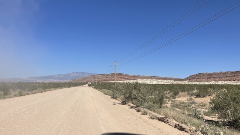
This trail connects the Warner Valley exit off of Southern Parkway to the Sunshine Loop and Little Black Mountain trails. This is a flat wide maintained dirt road with some loose gravel. This is an easy frontage road that any vehicle can drive. There is no camping along this connector.
Updated: 12/18/2023
Smith Camp Road
Green River, Utah
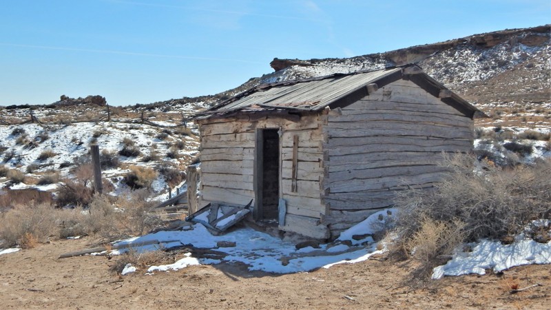
Smith Camp Road is a maintained gravel road that accesses numerous other scenic routes within the San Rafael Swell region. As you drive along, note how the landscape changes dramatically from the flat plain. The route quickly travels to an old ranch site with a couple of structures still standing. You will also pass a massive area for a free group campsite. Be sure to combine this with Cottonwood Canyon Road and the petroglyphs at Waypoint 08, then onto Green River Cutoff to create a memorable day on the trail.
Updated: 05/20/2026
Cottonwood Wash Road
Blanding, Utah
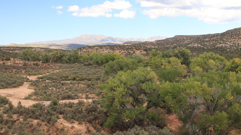
Cottonwood Wash runs off Highway 95 to intersect with Elk Mountain Road, one of the best ways into the higher elevations of the Bears Ears National Monument. The easy graded road has several shady camping areas along its namesake Cottonwood Wash. The most difficult section of the road is crossing a small side drainage that can be wet after heavy rains.
Updated: 10/22/2025
Old Notom Road
Caineville, Utah
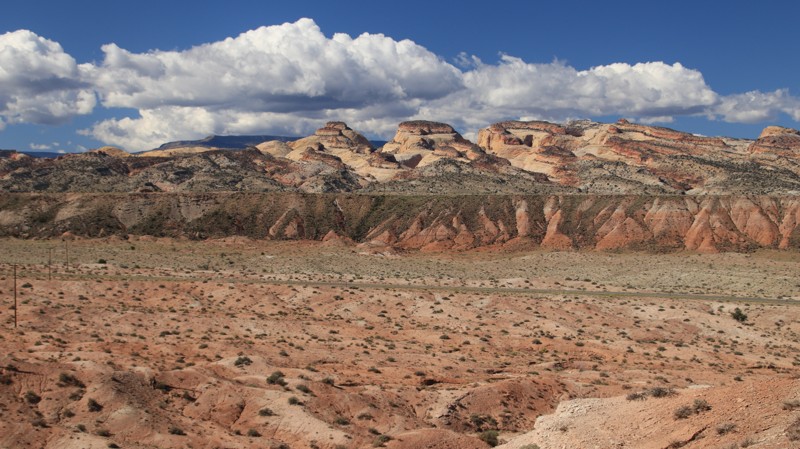
Old Notom Road runs between Highway 24 to join Notom - Bullfrog Road near the tiny hamlet of Notom. The graded road has impressive views of the Henry Mountains and Capitol Reef. The trail has a shelf road section and traverses a few colorful bentonite hills, which could be impassable when wet. There are several campsites along the route.
Updated: 09/10/2026
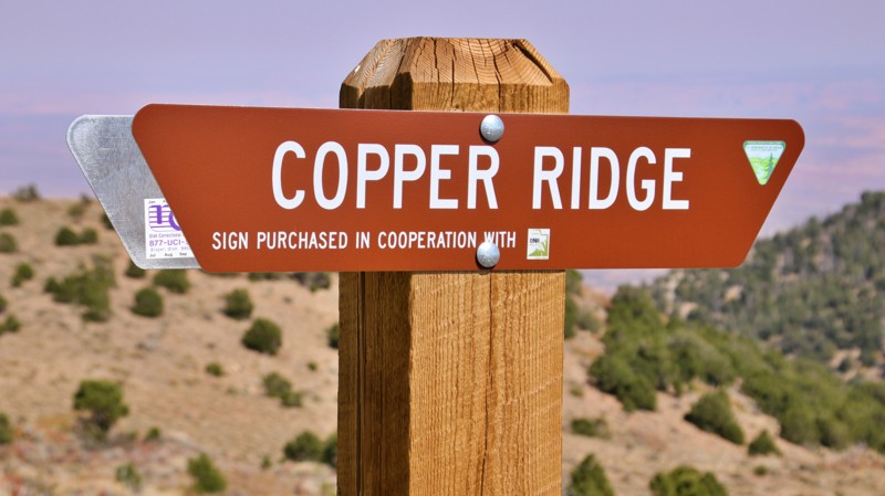
Copper Ridge Road
Hanksville, Utah
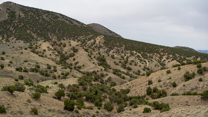
Copper Ridge Road runs along the southeastern side of the Henry Mountains from the intersection of Crescent Creek and Bull Creek Pass to Henry Mountains Road. The road also connects with Nasty Flat. The easy and well maintained trail winds around the various ridges and canyons radiating down the Henry Mountains offering fantastic views of The Block, The Horn, and Ragged Mountain.
While there are a few campsites at the northeastern end of the road, the most inspiring camping is on Copper Ridge Point, east of the intersection with Nasty Flat. While the several campsites on the point are rocky and exposed, they offer excellent views.
Updated: 10/15/2024
Widow Maker
Vernal, Utah
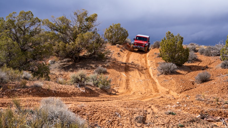
Winding its way through BLM land south of Red Fleet State Park, Widow Maker is a moderately rated trail acting as an alternate way north from Vernal to the reservoir. This trail is narrow and rocky at times, although stock high clearance 4WD vehicles should not struggle under dry conditions. With the roughness of the trail, airing down is highly recommended. Full-width and long vehicles may feel a bit uneasy around a few of the narrow bends. Although the majority of this trail is on BLM land, no existing campsites are available.
Updated: 10/15/2024
BLM 2340
Spanish Valley, Utah
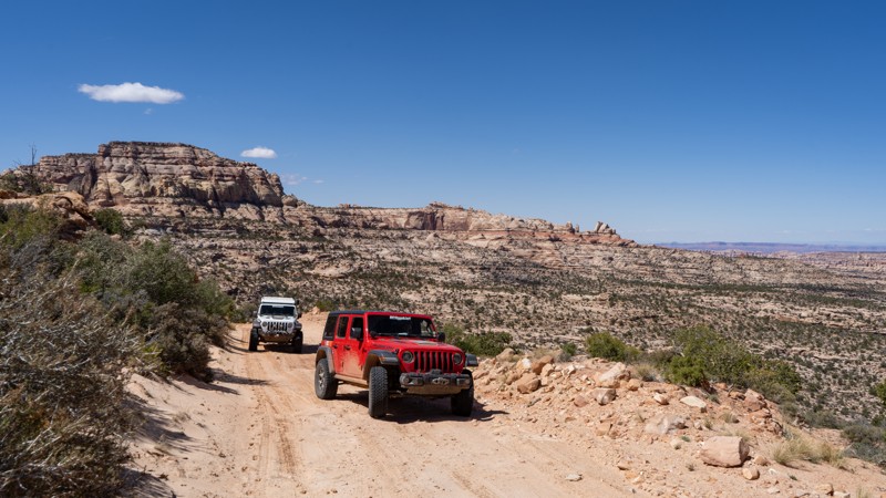
BLM 2341 is a sandy shortcut trail that makes an excellent "brief" Steel Bender Loop, as it cuts down the middle of the larger, main Steel Bender Loop. The trail offers a few mild challenges as you make your way through a mix of sand hills, rocky climbs, and slickrock ledges. This is a lesser-used trail with spectacular views in all directions. The trail is generally 1 to 1.5 vehicles wide, with plenty of pull-out opportunities to pass oncoming traffic. BLM 2341 trail is suitable for any high clearance 4x4 vehicle with low gearing.
Although dispersed camping is allowed, there are no suitable or existing campsites along this trail.
Updated: 09/14/2026
Beef Basin
Monticello, Utah
If you are looking for remoteness and solitude in the Moab area, and you are also a lover of history, it may be worth your while to put Beef Basin on your list. Situated between the Needles district of Canyonlands National Park and the relatively lesser-traveled Abajo Mountains, this easy, but extremely remote track offers access to quite a bit of history, including ruins and granaries from the Anasazi. Navigating out here is not for the faint of heart. Be prepared, as your easiest route is about 90 miles of driving to Moab. The road surface is mainly comprised of packed dirt with pockets of sand, and the potential to travel through washes that might have water flowing in them, depending on the time of year. There are a decent number of campsites located at the beginning of this lollipop-shaped route, but very few within the loop itself. Be prepared with communications, food, water, and shelter, as it will be a long time before someone can rescue you.
Updated: 08/11/2026
Smith Lake
Fruit Heights, Utah
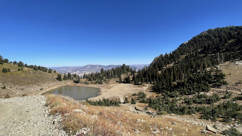
This secluded gem isn’t much of a lake, especially in the Fall when it looks more like an extra large puddle. However, that doesn’t make Smith Lake any less of a hidden gem of a camping spot. It can only be accessed by a one-lane rocky road. Most of the road is a rutted gravel road with golf balls to watermelon size rocks. There are two crisscrossing roads that wind down to the lake, making the trip down and back more of a loop. Deep ruts and areas that are starting to wash out are the primary obstacles.
Updated: 09/20/2025
Maple Canyon
Freedom, Utah
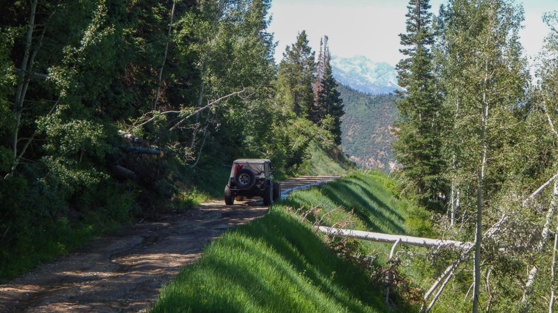
Located within portions of the Uinta National Forest, Maple Canyon is primarily known for its challenging rock climbing. Still, few know the trail crossing through the area is scenic and fun. Trail 69 is 15.3 miles and connects two popular areas used for camping and climbing.
Just 3 miles from Freedom, UT, the southern trailhead begins as an easy gravel road winding through a narrow slot canyon before reaching the Maple Canyon Campground, where shady campsites are below the rock climbing walls.
Once past the camping area, the trail becomes very tight and brushy as it zigzags above the craggy rocks of the canyon below. You will continue to climb to over 9100 feet, traversing along the top of the mountain, with massive views on both sides. Once up top, there are a few campsites with beautiful views and possibly snow in June.
Dropping into the next climbing area on the northern section offers numerous primitive campsites near more epic climbing.
The trail is ideal for stock 4x4s with high clearance and durable tires. Numerous narrow ledges with switchbacks, deep ruts, and potholes may be muddy. Do not attempt the route in wet conditions.
Updated: 05/01/2026
Black Ridge Radio Towers
Toquerville, Utah
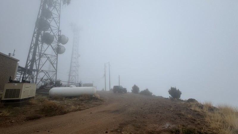
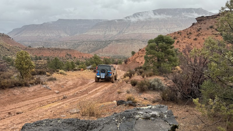
This track follows the border of the Blackridge Wilderness out to a set of radio towers on a west-facing overlook. During scouting, thick rain clouds and fog impeded the expansive views from the top of this route. A single, large campsite just before the radio towers has room for 3-4 vehicles if you park tightly. The site isn't well suited for ground tents as chunky black lava rock protrudes from the soil in abundance. Airing down is a good idea for this spur due to the multiple rocky sections that toss around your vehicle. In wet conditions, the surface becomes a very slick mud, making climbing and descending a slow and precarious journey.
Updated: 06/15/2024
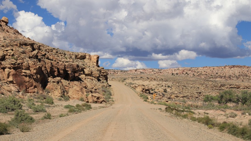
Pit and Page S
Kamas, Utah
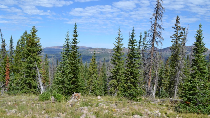
Alongside the already lesser-traveled Lambert Meadows, Pit and Page S will give you another few hours of solitude away from the crowds that the fabulous Uinta Mountains draw in every weekend. Although there isn't as much to do directly off of this trail, it offers some great camping and a few good spots to take in the vast views of the valleys below. Be sure to bring a few friends to sit around a fire and breathe in the fresh air, while you fall asleep to the wind in the trees! This area is sure to not disappoint.
Updated: 10/15/2024
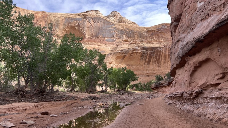
Montezuma Canyon South
White Mesa, Utah
Montezuma Canyon South runs along a cottonwood-lined Montezuma Creek, providing a portion of a scenic dirt drive from Blanding to Hovenweep. The graded road is easy with a few steep switchbacks and blind curves. Near the road's southern end is an area of ancient volcanic activity that scatters black igneous basalt rocks across the tan and buff sandstone typical of the area. The road has no dispersed campsites.
Updated: 10/15/2024
Horseshoe Canyon Access Road
Hanksville, Utah
Horseshoe Canyon Access Road is an easy offroad trail for almost any vehicle. The trail ends at a large camping area and a hiking trailhead. This area is known for its rich pre-European history. The 8-mile round trip hike into Horseshoe Canyon begins with a descent and then follows the sandy canyon bottom. There are several dinosaur footprints in the ancient sandstone. Along the walls of the canyon are at least four pictograph panels. The famous Great Gallery is the final panel along the hike. Massive painted figures from the Archaic period stare down from high on the sandstone walls of a large alcove. Archeologists can't date them precisely, but they are at least 2,000 years old and perhaps up to 6,000 years.
There is ample camping at the trail's end, with plenty of flat places, established fire rings, and a vault toilet. The camping is close quarters. The likelihood you will have this area to yourself is extremely slim. If private camping is more of your thing, there is an unnamed spur just off this road with a few secluded campsites that still allow easy access to wake up in the morning and tackle the hike.
Updated: 01/06/2026
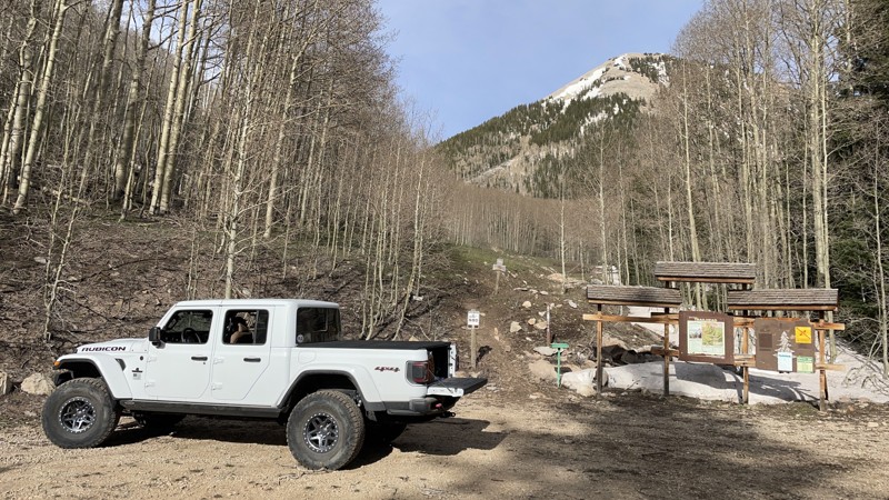
Miners Basin
Castle Valley, Utah
This little gem sits just north of the summit of the La Sal Loop out of Moab and takes you up into the true alpine timber and snowpack of the La Sal mountains and to an old west mining ruin that includes an abandoned US Post Office and a small alpine lake. Excellent hiking and views are to be found along the way, and also a roadside overlanding campsite or two. There is some scree, so a 4x4 is ideal, but you'll make it in a 2WD under good conditions. There will be snow up here except in midsummer.
Updated: 10/01/2024
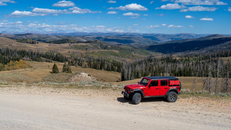
Lake Creek - Currant Creek
Heber City, Utah
Winding its way across the vast Uinta Mountains in northeastern Utah, Lake Creek - Currant Creek is an easy journey for any recreation enthusiast. Rising only 1,000 feet, you may think there are no impressive views to be had, but you would be wrong! At its highest, Lake Creek has seemingly endless views in all directions of the western hills of this expansive mountain range. Due to its proximity to major cities and ease of access, this is a popular trail for all forms of recreation, including camping, hiking, hunting, and fishing. The best time of year to visit is early fall when the leaves of the maple and aspen trees are at their peak! So pack a cooler and your sleeping gear, and create an overland adventure across the Uintas along Lake Creek.
Updated: 01/06/2026
Rattlesnake Gulch Escape
Toquerville, Utah
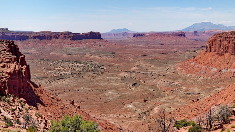
Rattlesnake Gulch Escape is a connector between Toquerville Falls trail and Rattlesnake Gulch. The track connects to Rattlesnake Gulch at Waypoint 11, putting you north of the most challenging obstacles. There is no camping along this connector, and the 600 feet of elevation change can be precarious, especially in wet conditions. A crumbling rocky shelf on a steep section is the hardest part of the route.
Updated: 05/20/2026
Big Ridge
Hite, Utah
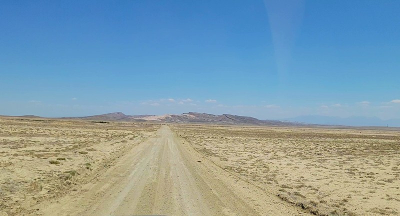
The Big Ridge Road, also labeled Happy Canyon on some maps, follows a long mesa top above Hatch Canyon and the Poison Springs road, with many amazing views of the surrounding area. It starts in the Orange Cliffs portion of the Glen Canyon National Recreation Area, adjacent to the Maze District of Canyonlands National Park, splitting off from the Flint Trail just above the famous Flint Hill switchbacks. The first 12 miles are an easy, well-maintained county B road consisting of graded dirt mixed with sections of broken slickrock. The first 7 miles are inside the Glen Canyon NRA, where camping is prohibited except at the Happy Canyon Campsite near the beginning of the trail. The highlight of this section is where the road traverses a narrow ridge with amazing views of the surrounding canyons on both sides.
After crossing onto BLM land, the road follows a flat mesa top past the top of the Simplot Dugway and crosses a backcountry airstrip. This section alternates between open fields and juniper forest. Camping is allowed here, though there are a few established sites.
The last 2.5 miles have a quite different character, transitioning from an easy graded dirt road to a moderate four-wheel-drive road, which is mostly a narrow shelf road skirting along the edge of a series of cliffs near Two Pipe Spring. The views here are spectacular. While there are no major obstacles along this section and the road is consistently wide enough for full-size vehicles, it may be intimidating to people who don't like shelf roads. Recent rockfall could render this section impassible or increase the difficulty level considerably.
At the end of the shelf road portion is a three-way junction. The road straight ahead leads to a hilltop overlook on an outcropping portion of the mesa. This road was closed in the 2025 Henry Mountains Fremont Gorge travel plan, but you may wish to hike the short distance to see the viewpoint at the end.
To the right is the beginning of a much harder road that climbs steeply up and over the highest terrace of Big Ridge before looping around the north rim of the mesa and reconnecting with the main Big Ridge Road near the backcountry airstrip. While most of this road is passable for full-size vehicles, there is a narrow, shelf road section in the middle that is only wide enough for ATVs and dirt bikes, preventing full-size vehicles from driving it as a loop. The east end of this side loop is easy and offers some nice viewpoints of Happy Canyon, while the west end is more challenging and requires navigating a series of steep, tight switchbacks with some difficult ledge obstacles and narrow pinch points. This side loop used to access a spur road that continued further out along the top of Big Ridge, but that road was also closed in the 2025 travel plan.
Updated: 10/15/2024
West Valley City Road
Crescent Junction, Utah
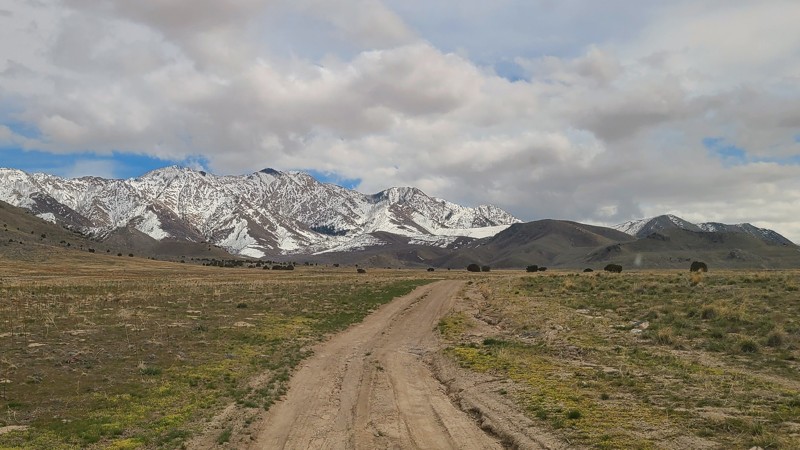
West Valley City Road is a dirt road shortcut between exit 175 of I-70 and US 191. This road did have a lot of washboards but could still be traversed pretty quickly. There isn't any camping along this road.
Updated: 10/15/2024
Muskrat Canyon Trail
Lakeside, Utah
Muskrat Canyon is a moderately challenging 2.5-mile out-and-back trail just off I-80 west of Salt Lake City, perfect for an off-pavement break from freeway traffic. The trailhead sits just off Highway 196 beyond two gates (as always, leave them as you found them) and features incredible views of the salt-flat valley below. The lower section of Muskrat is hampered by rutting and is best avoided after a rainstorm. As the trail gains elevation, the sandy rutted path gives way to a more narrow and rocky traverse up the 800 feet of elevation change. About three-quarters of the way up is a peaceful campsite nestled amongst Juniper trees in the shadow of snowcapped mountains. Beyond the camp spot, the trail enters a recent burn area and gets a little more technical before hitting a gate at a wilderness area line. Muskrat Canyon Trail is short, restful, and challenging enough to be interesting.
Updated: 10/15/2024
Point Lookout
Mexican Hat, Utah
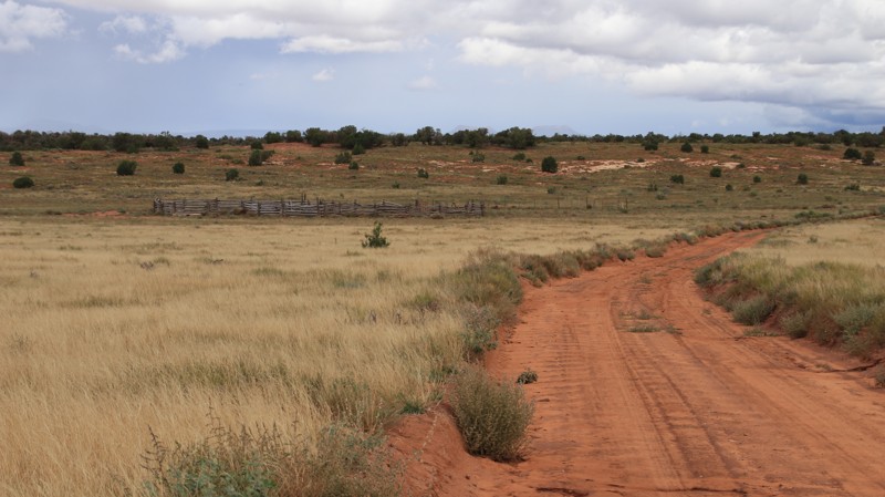
Point Lookout spurs off Slickhorn running 7.2 miles through the southern portion of Cedar Mesa to end at the border of the Grand Gulch ISA Study Area. Along the way are several nice campsites, a very interesting crossing of a small drainage, an old cattle corral, open grasslands, and a dense juniper-pinion forest. While the trail ends at the ISA Study area, the old jeep trail makes an excellent hike to Point Lookout and views of John's Canyon.
Bonus trivia question: How many cedars are on Cedar Mesa? None! Early European settlers were familiar with European cedars but not the western juniper, two different species of trees that look similar. Thus, many geographic names erroneously include cedar.
Updated: 10/15/2024
Trout Creek
West Portal, Utah
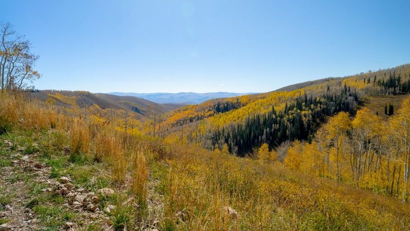
Trout Creek is your direct dirt route from Strawberry Reservoir to Currant Creek Reservoir. This is a popular recreation area, so dispersed camping is plentiful, but expect to share the space with campers, anglers, hikers, ATV/SXS, and hunters. The low-lying campsites are more popular with trailer campers, but additional sites are available higher up. The forest is filled with aspen, making late September and early October a beautiful time to visit. Be aware of possible prescribed burns and management agency closures. Check with the Heber-Kamas Ranger District.
Updated: 02/20/2025
Above Sevenmile Canyon
Moab, Utah
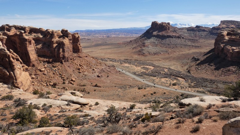
While exploring the Courthouse Pasture region, take this short out-and-back trail leading to a scenic overlook. The out-and-back spur is high above the sweeping s-turns along Highway 313. The trail is easy enough for most stock 4x4s with high clearance and durable tires. There are 6-8 inch rock ledges, loose off-chamber sections, and deep sand. Camping is not allowed in the Courthouse Pasture area. There is camping on trails to the north or at one of the established campgrounds along Highway 313.
Updated: 10/15/2024
Miller Canyon Trail
Black Rock, Utah
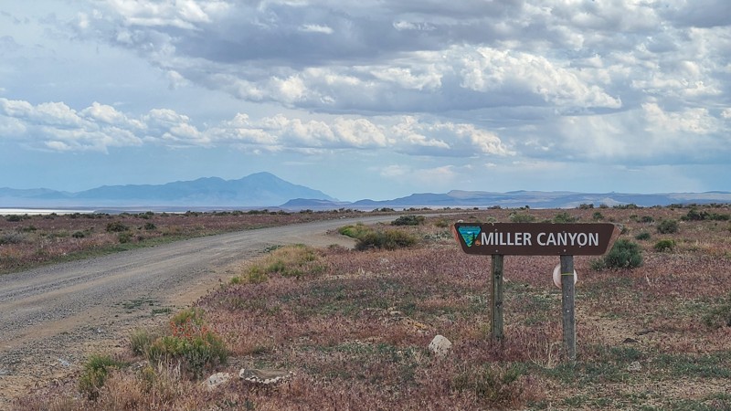
Miller Canyon trail is a relatively easy out and back off Highway 50 on BLM land in Utah's western desert. This graded trail has occasional small water crossings during the snowmelt. As the trail gains elevation, the canyon offers beautiful views and shaded relief from the hot desert sun with multiple large dispersed camping sites throughout, complete with rare desert tree cover. The upper section of the trail also runs along the northeastern border of the Notch Peak Wilderness Study Area. There are signs of old mining claims everywhere, with occasional old rock dwellings dotting the trail for history buffs. The trail is just minutes from the beautiful Sevier Lake salt beds, which have great dispersed camping in cooler months.

Upgrade your Membership
Unlock all of the details on every Trail Guide and Scout Route.
Start a 7-day Free TrialBrowse Trails in Utah by City
Browse every Utah city with offroad trail guides.
Community
Partners

