










By clicking "ACCEPT", you agree to be the terms and conditions of each policy linked to above. You also agree to the storing of cookies on your device to facilitate the operation and functionality of our site, enhance and customize your user experience, and to analyze how our site is used.
Utah Off-Road Trails
359
Total Trail Guides 334

4759
Detailed Waypoints 925
Try a Free 7-Day Trial and unlock it all
Start a Free Trial Most Recent Trail Reviews

P
Peaks&Pixels
No Rating
Open
Visited: 09/24/2026
This trail has been graded recently and is now an easy trail.
IE
Ingrid Enyeart
Rated 5/5
Partially Open
Visited: 09/22/2026
The portion of the trail between the fork at 11 and the fork at 13 has two major ledges that have formed going into and out of the wash. Not sure what vehicle could overcome these. So just take the sc...


CI
Christine Irsik
Rated 4/5
Open
Visited: 09/22/2026
We enjoyed this trail and will definitely do it again. Gorgeous views at many points along the trail. We didn’t try The Wall, but everything else was just enough of a challenge for us and nice that m...
LF
Leslie F
No Rating
Open
Visited: 09/22/2026
Drove out here in a thunderstorm after doing dome plateau overlook. Epic camping. peaceful. unparalleled views. trail had two steep rocky sections I used 4wd low but probably didn't need to.

JR
jon ross
No Rating
Open
Visited: 09/21/2026
This is a short 2 mile of so cut off trail. Has a wash out with a by pass half way through.



Earl Neisler
Earl Neisler
Rated 2/5
Open
Visited: 09/21/2026
Pinstripe Alley nonstop for the first 4 miles. INo view to be had until waypoint 7. It was a beautiful view then we turned around. Should’ve read the reviews before we started the trail, because th...
LF
Leslie F
Rated 5/5
Open
Visited: 09/21/2026
This is a highlight for the trip. We stayed at waypoint10 for the night.


Earl Neisler
Rated 4/5
Open
Visited: 09/21/2026
Nice connector. The short out back was the hardest and not that short.


Earl Neisler
Rated 4/5
Open
Visited: 09/21/2026
A well maintained road. Found a nice camp site on the south in.
Earl Neisler

Jesse Martin
Jesse Martin
Rated 5/5
Open
Visited: 09/20/2026
Great area to go camping and gather for family reunions. There are multiple other trails that fork off throughout the trail to explore.

Dustin
Earl Neisler
Rated 5/5
Open
Visited: 09/20/2026
Only did apart due to time. This is 1 I will come back and finish.

Earl Neisler
Rated 3/5
Open
Visited: 09/20/2026
Not much to say it a slow easy. A good connecting trail.
Earl Neisler
No Rating
Open
Visited: 09/20/2026
We started just south of Cottonwood Canyon. We stop and looked but could not fine the rock art. The area was a nice to see all the green.


Earl Neisler
Rated 4/5
Open
Visited: 09/19/2026
Great trail, we drove through waypoints 24-35. Easy ride with a good amount of mud holes with few ruts on the stretch we drove. Would love to complete the whole trail at a later date.
Dustin
Rated 4/5
Open
Visited: 09/19/2026
Fun easy trail. Great way to get out and enjoy a relaxing trail ride to take in nature and see the fall colors.
Dustin
Rated 5/5
Open
Visited: 09/19/2026
Great Trail! The scenery was good with lots of wildlife. The trail was diverse that give drivers the opportunity to use both high and low four wheel drive. Trail has both wide and narrow areas.
Dustin
Rated 5/5
Open
Visited: 09/18/2026
I run this trail every year. Always fun and beautiful views. Fair amount of off camber sections.

Jeff Klaassen
Rated 5/5
Open
Visited: 09/18/2026
This was a good trail. The trail still had so flood damage but was passable. Highly recommended this. Has some all some view. We took 2 day to enjoy the ride and views.


Earl Neisler
No Rating
Open
Visited: 09/16/2026
Very fun, short trail. We did the loop but not Wipeout Hill. The sandy sections were a blast and there were a few ledges and obstacles that probably warrant a 5 but are still a fun challenge. We did i...



Mark Signorelli
Rated 4/5
Open
Visited: 09/15/2026
Ran this one and it's a decent stretch for anyone with a high clearance 4x4. The early sagebrush section had me watching my GPS track closely since the road nearly disappears a few times, but it alway...



Jay North
Official Crew
Rated 4/5
Open
Visited: 09/15/2026
Ran this as a quick add-on while working through the rest of the Red Hills network, and it's a fun one to knock out in under an hour. The wash crossing is the one spot where you actually have to think...


Jay North
Official Crew
Rated 3/5
Open
Visited: 09/15/2026
Ran this one on a dry afternoon and came away satisfied without being blown away. The rocky, rolling grade keeps things interesting without ever feeling out of reach for a stock high clearance rig, th...


Jay North
Official Crew
Rated 4/5
Open
Visited: 09/15/2026
Ran this one on an afternoon when I didn't have time for a full day out, and it delivered more than I expected for a short climb. The hill about a mile in makes you actually think about your line, and...


Jay North
Official Crew
Rated 4/5
Open
Visited: 09/13/2026
Red Peak Road is a short, easy cruise that's mostly smooth dirt with just enough texture to keep it interesting. There's a mild rough patch early on and a slightly rockier stretch past the halfway poi...


Jay North
Official Crew
Rated 2/5
Open
Visited: 09/13/2026
This is an easy, low-key cruise with a short technical bump right in the middle where it ties into the rest of the network, otherwise it is just packed dirt and gravel the whole way. Nothing here dema...


Jay North
Official Crew
Rated 4/5
Open
Visited: 09/13/2026
This one's an easy, mellow cruiser and it shows in how quick it feels behind the wheel. The rocky spots near the start and about two thirds up are barely worth mentioning, just some careful tire place...


Jay North
Official Crew
Rated 5/5
Open
Visited: 09/13/2026
This one's a fun add-on if you're already out in the area, easy enough for most of the way that a stock rig won't break a sweat, with just a couple of hard spots to keep things interesting. The washou...


Jay North
Official Crew
Rated 4/5
Open
Visited: 09/13/2026
A nice view of Kanab. Steepish and possibly slick when muddy. One spot has a small rock shelf. 4x4 recommended.


Ben Ruddell
Official Crew
Rated 3/5
Open
Visited: 09/13/2026
Easy, suitable for high clearance 2WD on a dry day, though four wheel drive earns its keep if the ground's been wet. The ruts along the way are mild and easy to place your tires around, and the two wa...


Jay North
Official Crew
No Rating
Open
Visited: 09/12/2026
Crazy no reviews since I ran it last May. We ran it again this time the whole trail out to the south overlook. It had rained the night before and into the morning. The rock dried up quick but a lot o...



Andrew Hotton
Rated 5/5
Open
Visited: 09/12/2026
Sand dunes. DANGER, you need to know your technique to head in here. It’s easy to misjudge slope and camber and get stuck or worse roll.


Ben Ruddell
Official Crew
Rated 3/5
Open
Visited: 09/12/2026
The section of the trail was rocky and rough - still fairly easy but the rockiest stretch.
WF
Wyatt Frampton
Rated 4/5
Open
Visited: 09/12/2026
This trail checks so, so many of the boxes -- hanging off a cliff, passing within 4" of rocks on BOTH sides at the same time on narrow sections, meaningful obstacles (ledges) where I smacked my hitch ...
IR
Isaac R
Rated 3/5
Open
Visited: 09/12/2026
This is an easy, high clearance 2WD road, easy enough that the drive itself isn't the draw. The shelf road stretch is mild and only about two jeeps wide, so keep an eye out for oncoming traffic, and t...


Jay North
Official Crew
Rated 2/5
Open
Visited: 09/12/2026
This is a mellow, low-stress drive that rewards a relaxed pace more than any technical challenge. Stock high clearance handled every mile without a second thought, and the surface stayed predictable e...


Jay North
Official Crew
Rated 5/5
Open
Visited: 09/11/2026
Great rest quick trail! Perfect for beginners, fun place for a picnic. The entrance and exit terrain to the tunnel changes depending on the weather and use. Very fun and interesting.


Dustin
Rated 4/5
Open
Visited: 09/11/2026
My route didn’t originally include this trail, but one of my crew broke on impossible hill and we had to limp back to civilization. This trail was beautiful and remote. Difficulty wise, no issues on t...



Dewie Jones
Official Crew
Rated 4/5
Open
Visited: 09/10/2026
Way better than I thought it would be. This was simply a connector trail for my unsuccessful (broken Toyota) Blanding to Moab overland trip. The trail is absolutely beautiful, relatively fast access, ...
Dewie Jones
Official Crew
Rated 3/5
Open
Visited: 09/10/2026
Easy enough that I did this road in pitch-black with just headlights (no light bar or anything) on the way to see sunrise from the end of the trail (Hurrah Pass). Really straightforward, just rocky li...
IR
Isaac R
Rated 4/5
Open
Visited: 09/10/2026
Incredibly beautiful road and not really rough at all -- I did a bunch of with fully-inflated tires. I know it's just a connector but honestly I would 100% come out here again to enjoy the views, hang...
IR
Isaac R
Rated 4/5
Temporary Closure
Visited: 09/10/2026
Deep mud around river crossing prevents passage. We came from Goblin Valley side, we were able to cross the river but there was deep mud on south side due to recent rains. Almost got stuck, had to go ...

Thomas A Youngerman
Rated 5/5
Open
Visited: 09/09/2026
Incredible bucket list trail that you must do if you can. DON'T do it in 1 day unless you like rushing it, unfortunately circumstances changed that required us to rush it. It's gorgeous and worth an o...



Sean Allen
Rated 5/5
Open
Visited: 09/09/2026
I built this into our rocklanding/overland route and really enjoyed the adventure. You can tell this isn’t well traveled which added to the experience. With that said, we’re trying to get to Moab from...


Dewie Jones
Official Crew
Thomas A Youngerman
Rated 5/5
Open
Visited: 09/08/2026
Great as always, high rewards in terms of views and nothing crazy in terms of obstacles. Great first trail for someone to do with a great payoff!


Sean Allen
Most Popular

Updated: 10/15/2024
Cedar Wash Road
Escalante, Utah
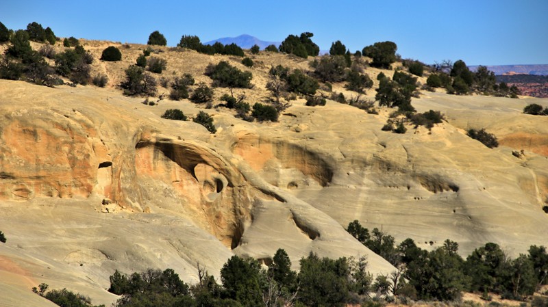
Cedar Wash Road begins off Center Street south of Escalante and connects with Hole in the Rock Road. Several small marginal campsites are along the north end of the road just after the pavement ends. These are suitable for one to two small vehicles. Hole in the Rock Road has plenty of very nice campsites.
The main draw of this otherwise nondescript road is the Cedar Wash Arch. Seeing the arch requires a short but mildly strenuous hike from the unsigned pullout.
The trail has deep sandy washes, sharp curves, and steep grades. Do not attempt if wet.
Updated: 12/18/2023
104 Manti-La Sal
Monticello, Utah
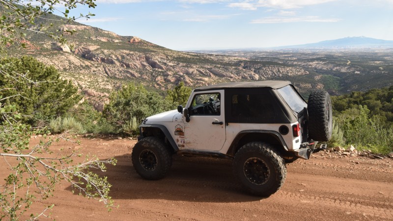
Located within the Abajo Mountains of Manti-La Sal National Forest this offroad trail offers users access to remote camping, hiking, and fishing. The trail travels along a picturesque canyon before eventually climbing up into the tall pines around Spring Lake. It is a wonderful place to put tent stakes down and explore some of the area trails. There are numerous hiking trails within the immediate area that lead to more remote regions within the forest system. The area is ideally located for access to both the Dark Canyon Wilderness and Canyonlands National Park.
Updated: 10/15/2024
Staircase Bypass
Moab, Utah
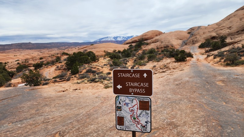
This easy slickrock route is a quarter-mile bypass to the Staircase obstacle on Hell's Revenge. This is a one-way trail, traveling from west to east, starting near the Tip-over Challenge at Waypoint 35 of Hell's Revenge and ending at Waypoint 16. There are no significant obstacles along this route, just a couple of small, less than 6-inch ledges to contend with. It is actually harder to access this little spur than it is to drive it. This section of trail is suitable for any vehicle, but accessing it will require a high clearance 4WD vehicle.
Updated: 10/15/2024
Kitchen Corral
Canyon Point, Utah
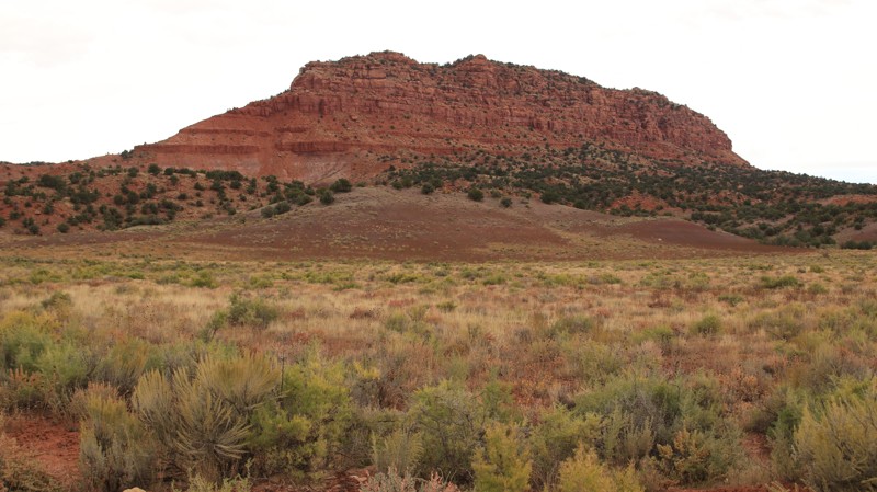
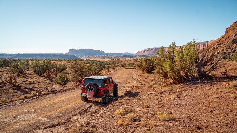
Kitchen Canyon runs north off Highway 89 to intersect with BLM 587 and 581. The easy trail crosses through the lower steps of the Escalante Staircase, passing through junipers and open valleys of sage bordered by sandstone walls. The dirt and sand road is irregularly maintained. One steep sandy wash crossing is the hardest part of the trail.
A huge level campsite in the junipers, 2.5 miles from the trailhead, can support six rigs. The pull-through sites are suitable for trailers or smaller camping rigs. There are multiple stone fire rings scattered about. A small one-rig site sits on the east side of the road down a small spur at 2 miles in. The trailhead also has a large flat area usable for camping. Expect a lot of road noise.
Updated: 01/15/2026
Wolverine Loop Road
Boulder, Utah
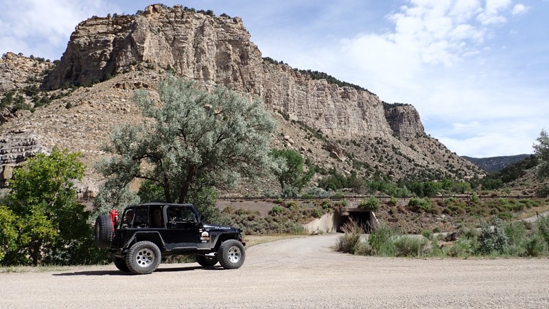
Wolverine Loop Road is a remote trail providing access to the southernmost reaches of the Grand Staircase Escalante National Monument when traveling off the Burr Trail. Mild maintenance by the managing agency keeps this route open year-round though it can be prone to erosion at the various wash crossings due to seasonal rainfall and flash flooding. The wash crossings are considered the hardest part of the trail but are easily managble by most high-clearance 2WD vehicles when dry.
Various hiking trailheads and points of interest such as Horse Canyon TH, Wolverine Petrified Wood Natural Area, and Little Death Hollow Trailhead are all located along the trail. Scenic views are plentiful with towering red rock mesas in most directions.
Camping is not extremely plentiful, some spots are found shortly off the trail's western end, a couple more at Little Horse Canyon, and a few more off the branching trails of Silver Falls and Moody Creek Road.
If you plan to overnight camp within Grand Staircase - Escalante National Monument, be sure to obtain a Backcountry Permit at the Escalante Interagency Visitor Center or in most of the trail register boxes at hiking trailheads. Backcountry Permits for overnight stays are free and assist the BLM (Bureau of Land Management) with tracking public land use and can also assist with emergency response efforts. Day use does not require a backcountry permit, but please sign the trail register.
Updated: 10/15/2024
Water Hollow
Salina, Utah
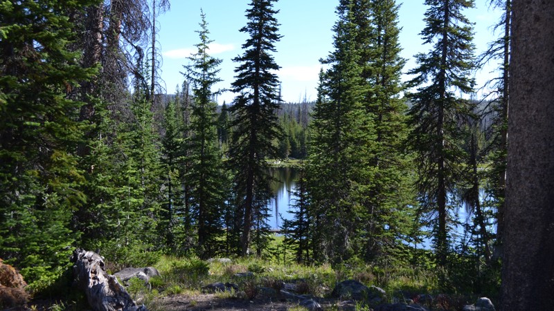
Water Hollow is a mildly challenging 11.3-mile 4x4 trail that winds its way up a scenic canyon before summiting high in the pine and aspen around 8000 feet. It makes for an ideal alternative for gaining access to this beautiful and remote section of the Fishlake National Forest. The trail is long and has a consistent grade up from Interstate 70. Once at the higher elevations, the trail becomes more narrow and has deep ruts. The trail is ideal for stock 4x4s with high ground clearance and durable tires. The camping is primitive, free, and very abundant along the upper sections of the route. There are multiple sites where you'll want to stay for a few days and explore all the lakes. The fishing in the area is abundant, and the spring bloom is beautiful. The trail is closed during the winter months because of deep snow.
Updated: 06/15/2024
Iron Mine Lake A
Kamas, Utah
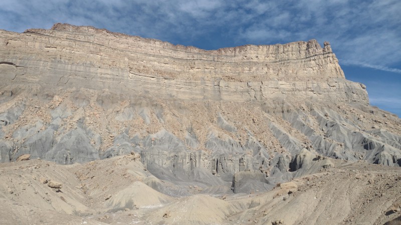
Just over an hour away from Salt Lake City lies a playground. This playground offers over 2.1 million acres with any outdoor sporting activity you can imagine. The Uinta-Wasatch-Cache National Forest is quite the wonderland. This particular region lies just outside of Kamas, Utah, and is open to all kinds of recreation from backpacking to fishing, to just about anything with a motor.
Not far from the mouth of the canyon is the Soapstone Basin. This region runs right along the Lower Provo River and provides access to many streams, lakes, trails, and camping opportunities. Iron Mine A is a great little jaunt to add to your adventure if you are looking for some camping by the lake. Break out the fishing pole and relax by the water, or sit by the fire and enjoy the wind in the trees while you watch the stars go by. There's no wrong answer when you're in the Uintas.
Updated: 10/15/2024
Battleship Butte
Green River, Utah
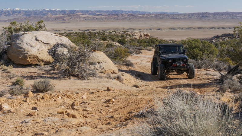
The towering cliffs north of the small town of Green River, UT, are a freeride mountain bikers' paradise. The area is an open E-Bike area. Many pros have visited the area cliffs to launch down the treacherous spines of Battleship Butte. The Semenuk Drop is the most famous of these lines that can be found on a nearby trail. This route begins as a well-maintained gravel road. It turns into a soft dirt two-track with very deep ruts and washouts. You will need a 4x4 and high clearance to make it to the cliffs. There are steep loose climbs, but they can be completed in stock 4x4s with good tires. The camping is wide open and very exposed. It can get very windy in the area and cold at night. A few flat areas had old rock campfire rings along the trail. This trail is impassable and not where you want to be when it's raining.
Updated: 10/15/2024
Bunny Hop
Crescent Junction, Utah
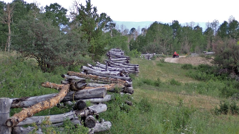
Starting down Bunny Hop from Blue Hills Road, look for the healthy jackrabbit population in this area. They hop around the rocks, seemingly oblivious to the loud vehicles climbing around the same stones. The trail is a moderate 4x4 challenge with several rocky ledge climbs that may high center low clearance vehicles. The trail is a great "ice-breaker" for beginners to the four-wheeling world. The views from the butte are vast and colorful, especially in the late afternoon sun. There is one campsite at the western trailhead.
Updated: 10/15/2024
East Willow Creek Road
Redmond, Utah
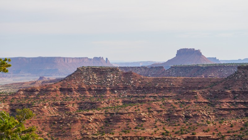
East Willow Creek Road is the easiest way up to Skyline Drive from the small town of Salina, Utah. The trail begins as a grated gravel road before turning into a rutted dirt forest trail. Once you enter the Fish Lake National Forest, the trail passes numerous free primitive campsites. Some of the campsites are quite large, with room for numerous RVs. The trail can be completed in 2WD with durable tires in dry conditions.
Updated: 09/10/2026
Golden Stairs
Hite, Utah
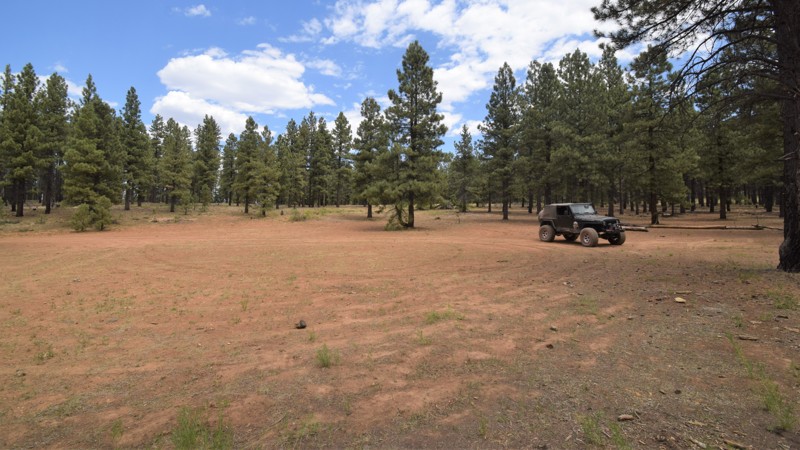
Short but sweet, this easy spur in the Maze District of Canyonlands takes you to the incredible Golden Stairs hiking trail and campsite of the same name. Getting into the park requires 4WD and high clearance, although this trail is an easy winding path. There is only a small amount of parking, so please be aware of keeping on the trail and leaving room for others to enjoy this breathtaking region. All camping in the Maze is by reservation only at Rec.gov.
Updated: 05/01/2024
Lava Knoll
Duck Creek Village, Utah
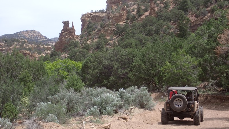
Whether you are looking for a secluded campsite in the pines or to just stay off of the pavement, Lava Knoll is a leisurely drive through a beautiful region of the Dixie National Forest. As the trail is presented here, it travels south from the Henrie Knoll area, connecting with numerous other trails and wonderful primitive campsites. The trail is easy enough for most stock SUVs with off-road type tires. The route offers chances to spot some of the abundant wildlife in the area. In early fall be sure to go up Henrie Knoll to view the blanket of fall colors.
Updated: 10/15/2024
Upper Tusher Canyon
Green River, Utah
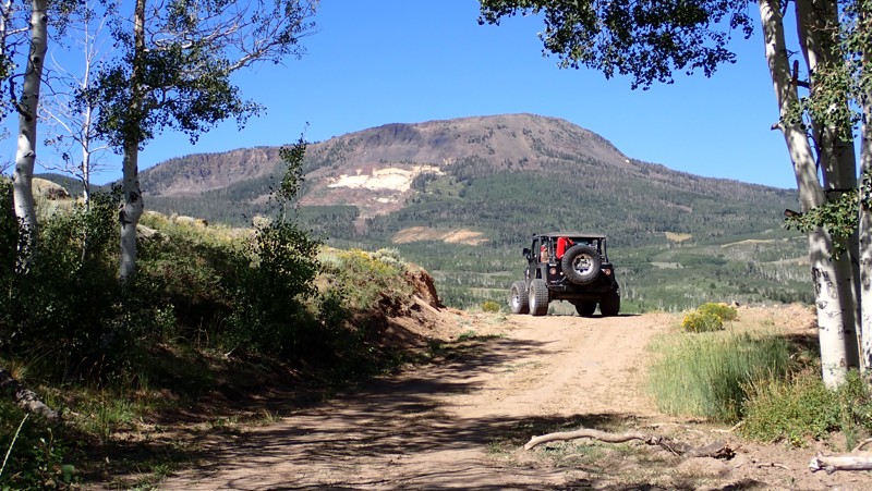
Upper Tusher Canyon is an entirely different experience than rugged lower Tusher Canyon. Your adventure begins in the sandy wash below the towering Book Cliffs, the longest continuous cliffs on the continent. The trail winds through a dense desert vegetation landscape with unique rock formations poking out of the trees. You will climb to over 7500 feet and the border of the Uintah/Ouray Indian Reservation, where a natural spring has created a shady oasis to set up camp. The trail ends at an old drill platform that makes a wonderful group campsite. Individual campsites are under the trees in the tall grass. The trail is well-maintained but can change after a rainstorm. In dry conditions, the trail can be completed in 2WD. The trail follows a canyon. Do not drive the trail in rainy conditions.
Updated: 01/09/2026
Clear Creek
Whipup, Utah
Clear Creek is an 8.6-mile moderate scenic climb into the Fishlake National Forest of Central Utah. The trail is ideal for stock-type 4x4s and overland vehicles with high ground clearance and durable off-road tires. There are many deep washouts and tight switchbacks. The long climb requires four-wheel drive. The dense foliage climbing through the canyon starkly contrasts the open meadows and aspen above 9000 feet. At lower elevations, there is limited camping. The best camping is higher up in elevation. Clear Creek's upper section is closed to motor vehicles from 01/01 to 04/15 every winter.

Updated: 06/08/2024
Thompson Overlook
Thompson Springs, Utah
Take this short but memorable trail to one of the best overlook campsites along the Book Cliffs. Thompson Overlook is accessible by following the scenic Sagers Bench to Waypoint 09 and then driving out to the cliffs. The trail winds its way through the tight brush before emerging right along the cliff's edge. The views are 400+ feet above I-70 and the small community of Thompson Springs. There are numerous small campsites pockmarked along the ridge, each with its own vertigo-inducing views and spectacular sunrises.
Updated: 06/04/2026
Eggnog - Star Springs Road
Ticaboo, Utah
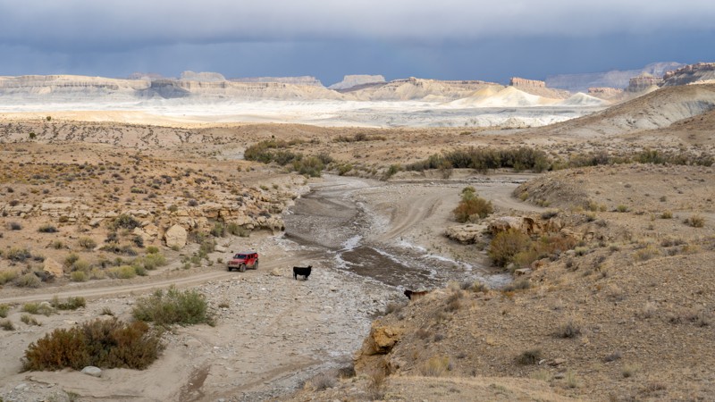
Eggnog - Starr Springs Road is an incredibly unique trail winding through a moon-like landscape just north of Bullfrog, Utah. Despite southern Utah being known for its red rock sandstone, this interesting little pocket of BLM land is bathed in blue and grey tones. Bentonite clay hills roll on far to the north, with a distant view of the well-known Waterpocket Fold to the west. Towering near the eastern end is Mount Hillers, a dramatic 10,000-foot-plus mountain peak with out-of-place red fins at its base. With the mashup geology, this trail is perfect for anyone in a high clearance 4WD vehicle looking to diversify their weekend overland trip.
Dispersed camping is limited to a few rocky spots along the trail. Luckily, there is a very peaceful and scenic campground at the eastern end of the trail called Starr Springs Campground. They offer a handful of designated campsites nestled among the oak tree grove, fire rings, picnic tables, and pit toilets.
Updated: 10/15/2024
Paria
Paria, Utah
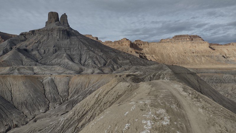
Paria is a Pauite word that means muddy water. Paria Road runs nearly six miles from Highway 89 to the Paria River. The road is packed with history. Two settlements in the 1800s sprung up and failed along the river. A Hollywood western movie town set once sat roadside, but it burned years ago. The informational signage at the trailhead goes into great detail on the area's history.
The road is graded dirt and usually easy, with only one steep wash crossing and a stretch of narrow shelf road. However, the road surface becomes very soft and slippery when wet. If the road is wet at the trailhead, consider it impassable.
One mile in a sizeable flat campsite sits roadside. The flat site can easily handle three rigs or a large motorhome. There is no shade, but it does have a fire ring. Only three other campsites are further along the road. All are small, exposed, and very close to the trail.
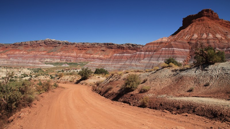
The first several miles of the trail pass through a sagebrush prairie with red and white sandstone bluffs defining the horizon. The trail begins a descent into the Paria River's valley, and the scenery changes into a kaleidoscope of colors. Bentonite hills of gray, purple, pink, buff, and tan but up against towering walls of burgundy sandstone, often topped with harder white or gray sandstone. Generally speaking, the lighter the color of sandstone, the harder it is.
A day-use area sits where the movie set once stood. There's a vault toilet, informational signage, and a picnic table. A bit further along the trail sits the Paria Cemetary, a monument to the hardy people who tried to make a life in this rugged landscape.
The trail ends at a sandy lollipop turnaround at the river. Walking along the Paia River is easy. If you hike south, downriver, look for bentonite bluffs on the east side of the river. The remnants of two stone cabins are at the south end of the bentonite hills. The larger one had a sunken root cellar. The lintels of the doors and windows are long sandstone slabs formed millions of years ago at the bottom of a sea or river. The cabin builder kept the side with the water ripple marks exposed.
Updated: 10/15/2024
Blue Castle
Green River, Utah
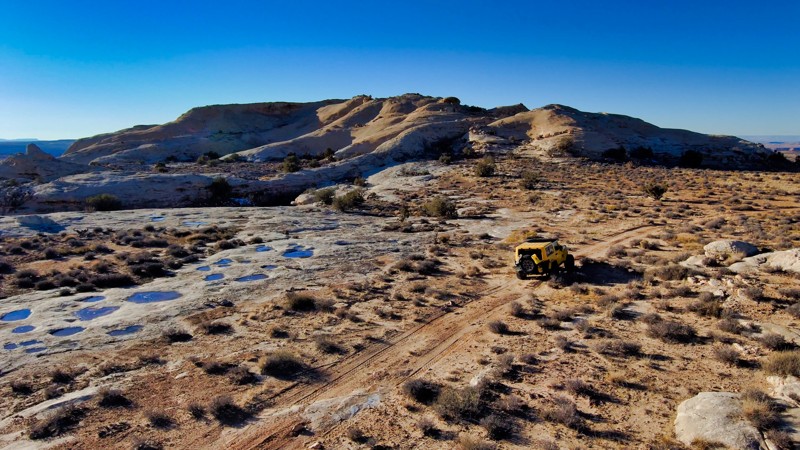
Blue Castle is a scenic and unique natural grey-colored butte that you can ride your bike on. The towering cliffs north of the small town of Green River, UT, are a freeride mountain bikers' paradise. The area is an open E-Bike area. Many pros have visited the area cliffs to launch down the treacherous spines of Battleship Butte. The Semenuk Drop is the most famous of these lines that can be found on a nearby trail. This route begins as a gravel route but becomes rocky with washouts. You can travel the entire route in 2WD with high clearance and durable tires. The camping is wide open and exposed. It can get very windy in the area and cold at night. A few flat areas had old rock campfire rings along the trail. This trail is impassable when wet and not where you want to be when it's raining.
Updated: 07/02/2026
D2662
Crescent Junction, Utah
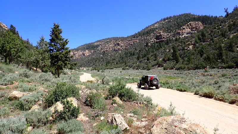
This semi-maintained trail off Spring Canyon Point is an easy addition while running trails in this area. The toughest sections are rocky inclines, but all should be passable with clearance in good weather.
Updated: 05/20/2026
Thompson Crossover
Crescent Junction, Utah
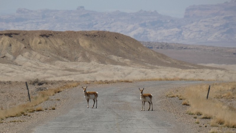
Thompson Crossover is part of old Highway 10 that was replaced with I-70 in the 1960s. All year long, early in the morning, you are guaranteed to see pronghorns along this route. They graze daily between the interstate and the Book Cliffs to the north. The road is beat-up old asphalt and gravel. There are potholes like you find on any county road, so be cautious at high speeds. There is little to no traffic, so you can go slow or stop to take pictures of the wildlife and the many remnants of the old highway. The camping is wide open along this route. You can put down stakes just about anywhere, but the noise from I-70 and the trains might be a deterrent. There is excellent camping on the Book Cliffs or organized campgrounds in Green River.
Updated: 10/15/2024
Cottonwood Canyon Road
Orangeville, Utah
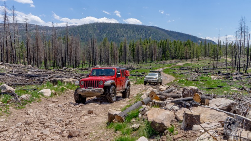
Cottonwood Canyon Road begins as a paved county road before turning into a grated gravel trail. The higher you climb into the pines, the steeper and more narrow the trail becomes. The trail has a couple of very nice old drill platforms that have been converted into large group camping areas. These sites are ideal for RVs or campers needing solid and level ground to park. As you climb, the landscape transforms from rugged desert rocks to dense pine and aspen forests. The trail is easily completed in 2WD vehicles equipped with durable tires.
Updated: 10/15/2024
Broadhead Meadows
Woodland, Utah
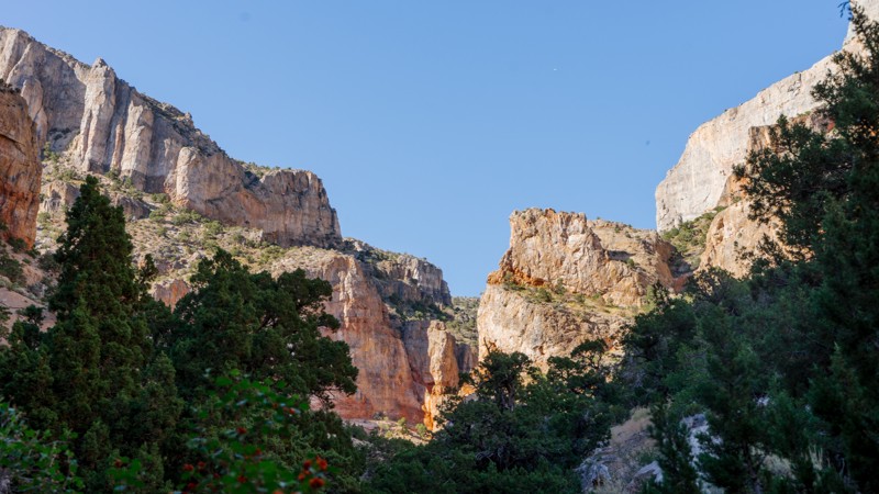
Broadview Meadows departs off Murdoch Basin Road and heads through the 2020 Upper Provo Wildfire burn scar north to Broadwater Meadows, connecting to the Mirror Highway. When running this trail, be sure to stay on Broadview Meadows FR416, as quite a few ATV-only trails diverge off the trail. A designated camping area is available immediately at the start of Broadview Meadows, with sites distinguishable by the metal fire rings and picnic tables. This fee area requires a recreation pass obtained at the kiosk on the Mirror Highway when you are first entering the Uinta-Wasatch-Cache National Forest. Three-day passes are only $6. The trail is a mix of rough dirt and cobblestone stretches. Air down to make the ride more comfortable.
Updated: 10/15/2024
Old 6 and 50
Eskdale, Utah
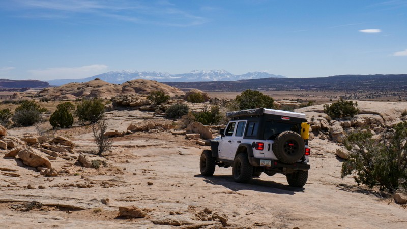
Running parallel to the modern-day, paved US-50 is the dirt and gravel Old 6 & 50. This nearly 73-mile stretch traverses Cowboy Pass and Marjum Pass like the groups traveling the Central Overland Trail in 1859. The most interesting parts of the trail are definitely within the western half of the route, including Hermit's Cabin in Marjum Canyon. To visit the cabin, you will drive down a spur to a small campsite and have to continue on foot for a short hike up a rocky canyon wash.
Camping directly along Old 6 & 50 is mostly limited to the site on the Hermit's Cabin spur, a site within Marjum Pass within view of the powerlines, and a very exposed site near Kells Knolls. Other Bureau of Land Management (BLM) roads that diverge off of Old 6 & 50 may provide additional opportunities for camping.
Visit the BLM official page on Hermit's Cabin to read the story of Bob Stinton, the World War I veteran who built the cabin. Treat this site with respect; do not lean on the walls, deface the rocks, or leave trash.
Updated: 10/15/2024
Spring Canyon North Overlooks
Moab, Utah
A straight out and back 2-track that follows a portion of the Secret Spire Easter Jeep Safari Route. This trail leads to the north edge of Spring Canyon and provides a view of the tip of Secret Spire. Traveling out the road has plenty of "whoop de doos" up and over soft and with a few patches of minor rock protrusions in other areas. At the end of the trail, the road surface is white rock.

Upgrade your Membership
Unlock all of the details on every Trail Guide and Scout Route.
Start a 7-day Free TrialBrowse Trails in Utah by City
Browse every Utah city with offroad trail guides.
Community
Partners

