










By clicking "ACCEPT", you agree to be the terms and conditions of each policy linked to above. You also agree to the storing of cookies on your device to facilitate the operation and functionality of our site, enhance and customize your user experience, and to analyze how our site is used.
Utah Off-Road Trails
359
Total Trail Guides 334

4759
Detailed Waypoints 925
Try a Free 7-Day Trial and unlock it all
Start a Free Trial Most Recent Trail Reviews
No Rating
Open
Visited: 09/24/2026
This trail has been graded recently and is now an easy trail.

IE
Ingrid Enyeart
Rated 5/5
Partially Open
Visited: 09/22/2026
The portion of the trail between the fork at 11 and the fork at 13 has two major ledges that have formed going into and out of the wash. Not sure what vehicle could overcome these. So just take the sc...


CI
Christine Irsik
Rated 4/5
Open
Visited: 09/22/2026
We enjoyed this trail and will definitely do it again. Gorgeous views at many points along the trail. We didn’t try The Wall, but everything else was just enough of a challenge for us and nice that m...
LF
Leslie F
No Rating
Open
Visited: 09/22/2026
Drove out here in a thunderstorm after doing dome plateau overlook. Epic camping. peaceful. unparalleled views. trail had two steep rocky sections I used 4wd low but probably didn't need to.

JR
jon ross
No Rating
Open
Visited: 09/21/2026
This is a short 2 mile of so cut off trail. Has a wash out with a by pass half way through.



Earl Neisler
Earl Neisler
Rated 2/5
Open
Visited: 09/21/2026
Pinstripe Alley nonstop for the first 4 miles. INo view to be had until waypoint 7. It was a beautiful view then we turned around. Should’ve read the reviews before we started the trail, because th...
LF
Leslie F
Rated 5/5
Open
Visited: 09/21/2026
This is a highlight for the trip. We stayed at waypoint10 for the night.


Earl Neisler
Rated 4/5
Open
Visited: 09/21/2026
Nice connector. The short out back was the hardest and not that short.


Earl Neisler
Rated 4/5
Open
Visited: 09/21/2026
A well maintained road. Found a nice camp site on the south in.
Earl Neisler

Jesse Martin
Jesse Martin
Rated 5/5
Open
Visited: 09/20/2026
Great area to go camping and gather for family reunions. There are multiple other trails that fork off throughout the trail to explore.

Dustin
Earl Neisler
Rated 5/5
Open
Visited: 09/20/2026
Only did apart due to time. This is 1 I will come back and finish.

Earl Neisler
Rated 3/5
Open
Visited: 09/20/2026
Not much to say it a slow easy. A good connecting trail.
Earl Neisler
No Rating
Open
Visited: 09/20/2026
We started just south of Cottonwood Canyon. We stop and looked but could not fine the rock art. The area was a nice to see all the green.


Earl Neisler
Rated 4/5
Open
Visited: 09/19/2026
Great trail, we drove through waypoints 24-35. Easy ride with a good amount of mud holes with few ruts on the stretch we drove. Would love to complete the whole trail at a later date.
Dustin
Rated 4/5
Open
Visited: 09/19/2026
Fun easy trail. Great way to get out and enjoy a relaxing trail ride to take in nature and see the fall colors.
Dustin
Rated 5/5
Open
Visited: 09/19/2026
Great Trail! The scenery was good with lots of wildlife. The trail was diverse that give drivers the opportunity to use both high and low four wheel drive. Trail has both wide and narrow areas.
Dustin
Rated 5/5
Open
Visited: 09/18/2026
I run this trail every year. Always fun and beautiful views. Fair amount of off camber sections.

Jeff Klaassen
Rated 5/5
Open
Visited: 09/18/2026
This was a good trail. The trail still had so flood damage but was passable. Highly recommended this. Has some all some view. We took 2 day to enjoy the ride and views.


Earl Neisler
No Rating
Open
Visited: 09/16/2026
Very fun, short trail. We did the loop but not Wipeout Hill. The sandy sections were a blast and there were a few ledges and obstacles that probably warrant a 5 but are still a fun challenge. We did i...



Mark Signorelli
Rated 4/5
Open
Visited: 09/15/2026
Ran this one and it's a decent stretch for anyone with a high clearance 4x4. The early sagebrush section had me watching my GPS track closely since the road nearly disappears a few times, but it alway...



Jay North
Official Crew
Rated 4/5
Open
Visited: 09/15/2026
Ran this as a quick add-on while working through the rest of the Red Hills network, and it's a fun one to knock out in under an hour. The wash crossing is the one spot where you actually have to think...


Jay North
Official Crew
Rated 3/5
Open
Visited: 09/15/2026
Ran this one on a dry afternoon and came away satisfied without being blown away. The rocky, rolling grade keeps things interesting without ever feeling out of reach for a stock high clearance rig, th...


Jay North
Official Crew
Rated 4/5
Open
Visited: 09/15/2026
Ran this one on an afternoon when I didn't have time for a full day out, and it delivered more than I expected for a short climb. The hill about a mile in makes you actually think about your line, and...


Jay North
Official Crew
Rated 4/5
Open
Visited: 09/13/2026
Red Peak Road is a short, easy cruise that's mostly smooth dirt with just enough texture to keep it interesting. There's a mild rough patch early on and a slightly rockier stretch past the halfway poi...


Jay North
Official Crew
Rated 2/5
Open
Visited: 09/13/2026
This is an easy, low-key cruise with a short technical bump right in the middle where it ties into the rest of the network, otherwise it is just packed dirt and gravel the whole way. Nothing here dema...


Jay North
Official Crew
Rated 4/5
Open
Visited: 09/13/2026
This one's an easy, mellow cruiser and it shows in how quick it feels behind the wheel. The rocky spots near the start and about two thirds up are barely worth mentioning, just some careful tire place...


Jay North
Official Crew
Rated 5/5
Open
Visited: 09/13/2026
This one's a fun add-on if you're already out in the area, easy enough for most of the way that a stock rig won't break a sweat, with just a couple of hard spots to keep things interesting. The washou...


Jay North
Official Crew
Rated 4/5
Open
Visited: 09/13/2026
A nice view of Kanab. Steepish and possibly slick when muddy. One spot has a small rock shelf. 4x4 recommended.


Ben Ruddell
Official Crew
Rated 3/5
Open
Visited: 09/13/2026
Easy, suitable for high clearance 2WD on a dry day, though four wheel drive earns its keep if the ground's been wet. The ruts along the way are mild and easy to place your tires around, and the two wa...


Jay North
Official Crew
No Rating
Open
Visited: 09/12/2026
Crazy no reviews since I ran it last May. We ran it again this time the whole trail out to the south overlook. It had rained the night before and into the morning. The rock dried up quick but a lot o...



Andrew Hotton
Rated 5/5
Open
Visited: 09/12/2026
Sand dunes. DANGER, you need to know your technique to head in here. It’s easy to misjudge slope and camber and get stuck or worse roll.


Ben Ruddell
Official Crew
Rated 3/5
Open
Visited: 09/12/2026
The section of the trail was rocky and rough - still fairly easy but the rockiest stretch.
WF
Wyatt Frampton
Rated 4/5
Open
Visited: 09/12/2026
This trail checks so, so many of the boxes -- hanging off a cliff, passing within 4" of rocks on BOTH sides at the same time on narrow sections, meaningful obstacles (ledges) where I smacked my hitch ...
IR
Isaac R
Rated 3/5
Open
Visited: 09/12/2026
This is an easy, high clearance 2WD road, easy enough that the drive itself isn't the draw. The shelf road stretch is mild and only about two jeeps wide, so keep an eye out for oncoming traffic, and t...


Jay North
Official Crew
Rated 2/5
Open
Visited: 09/12/2026
This is a mellow, low-stress drive that rewards a relaxed pace more than any technical challenge. Stock high clearance handled every mile without a second thought, and the surface stayed predictable e...


Jay North
Official Crew
Rated 5/5
Open
Visited: 09/11/2026
Great rest quick trail! Perfect for beginners, fun place for a picnic. The entrance and exit terrain to the tunnel changes depending on the weather and use. Very fun and interesting.


Dustin
Rated 4/5
Open
Visited: 09/11/2026
My route didn’t originally include this trail, but one of my crew broke on impossible hill and we had to limp back to civilization. This trail was beautiful and remote. Difficulty wise, no issues on t...



Dewie Jones
Official Crew
Rated 4/5
Open
Visited: 09/10/2026
Way better than I thought it would be. This was simply a connector trail for my unsuccessful (broken Toyota) Blanding to Moab overland trip. The trail is absolutely beautiful, relatively fast access, ...
Dewie Jones
Official Crew
Rated 3/5
Open
Visited: 09/10/2026
Easy enough that I did this road in pitch-black with just headlights (no light bar or anything) on the way to see sunrise from the end of the trail (Hurrah Pass). Really straightforward, just rocky li...
IR
Isaac R
Rated 4/5
Open
Visited: 09/10/2026
Incredibly beautiful road and not really rough at all -- I did a bunch of with fully-inflated tires. I know it's just a connector but honestly I would 100% come out here again to enjoy the views, hang...
IR
Isaac R
Rated 4/5
Temporary Closure
Visited: 09/10/2026
Deep mud around river crossing prevents passage. We came from Goblin Valley side, we were able to cross the river but there was deep mud on south side due to recent rains. Almost got stuck, had to go ...

Thomas A Youngerman
Rated 5/5
Open
Visited: 09/09/2026
Incredible bucket list trail that you must do if you can. DON'T do it in 1 day unless you like rushing it, unfortunately circumstances changed that required us to rush it. It's gorgeous and worth an o...



Sean Allen
Rated 5/5
Open
Visited: 09/09/2026
I built this into our rocklanding/overland route and really enjoyed the adventure. You can tell this isn’t well traveled which added to the experience. With that said, we’re trying to get to Moab from...


Dewie Jones
Official Crew
Thomas A Youngerman
Rated 5/5
Open
Visited: 09/08/2026
Great as always, high rewards in terms of views and nothing crazy in terms of obstacles. Great first trail for someone to do with a great payoff!


Sean Allen
Rated 5/5
Open
Visited: 09/08/2026
Fun trail, would run again. Had lunch between Monitor and Merrimac buttes.


Thomas A Youngerman
Most Popular
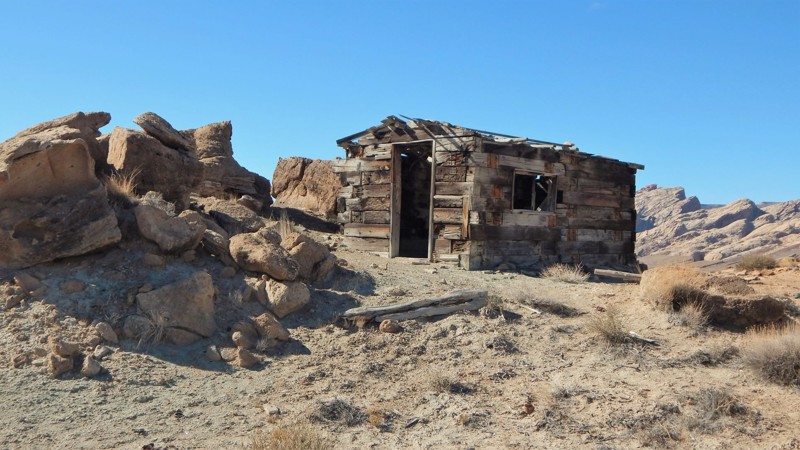
Updated: 03/22/2024
Buckmaster Mining District
Green River, Utah
Uranium ores in what is now known as the San Rafael district were first reported by Hess and Schaller way back in 1914. Since that time, this region of Utah has had over 6000 mines open and close. In 2015 the BLM began an ambitious task of properly inspecting and permanently closing all these dangerous sites. They removed all the harmful raw materials and structures but thankfully preserved specific areas for us to visit. Buckmaster has a wide variety of terrain to navigate while you're seeing all the unique points of interest. You can start or finish with the I-70 overlook. Plan an extended break at the old log cabin with epic views of The Swell.
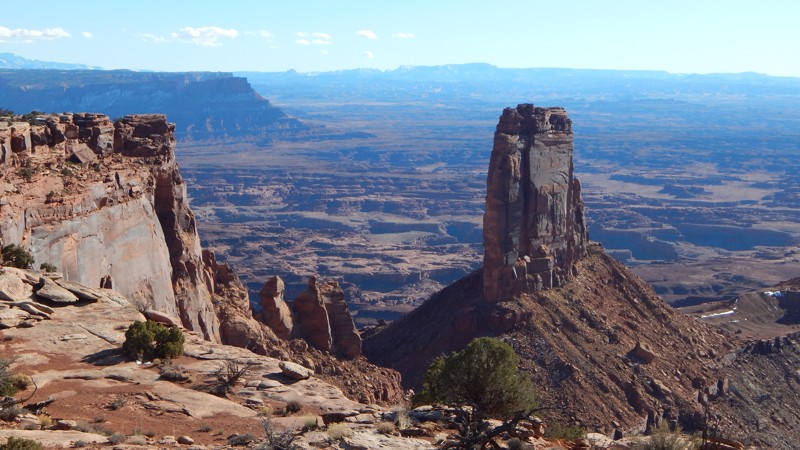

Updated: 05/28/2026
Hatch Point
Spanish Valley, Utah
Many consider Hatch Point the best overlook campsite in the area, but getting there comes with a price. The 6.4-mile, one-hour, one-way, bumpy ride rewards you with breathtaking views of the Canyonlands and the twisting Colorado River far below. The rocky trail has one short section of 10 to 12-inch vertical ledges requiring high clearance and low-range gearing. Countless little rock ledges require slow speed, 4x4, and durable offroad-type tires. Once at the end, you can choose from a couple of campsites and sit back to enjoy the fantastic views. Prepare for winds. You must bring your firewood. An old vault toilet, picnic table, and rock fire ring are at the circle turn-around.
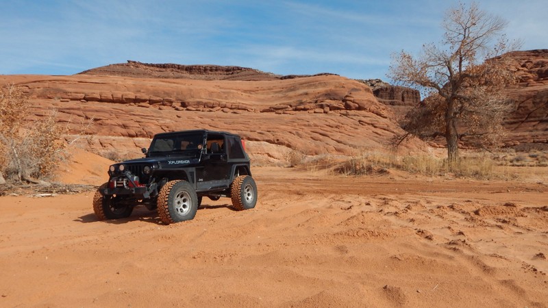
Updated: 11/04/2024
White Wash Dunes
Green River, Utah
Although this area is an open OHV area, the track visits all the popular spots around the park to give you a complete experience in one track. You can either follow the track or try to reach the POIs on your own. Either way, you're guaranteed a good time on the dunes! White Wash Dunes is an open OHV area north of Moab, Utah. The BLM has designated this area wide open to off-highway vehicles. Similar to Sand Hollow in St. George, Utah, White Wash Dunes have countless drifting dunes to romp around on. When you're feeling a little more daring, feel free to try your luck climbing the red rocks. Go ahead. You can climb anything you see. As long as it's within this designated area, it's legal.
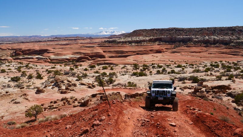
Updated: 04/02/2023
Hidden Canyon Rim Escape
Moab, Utah
Hidden Canyon Rim Escape is a great continuation of the Hidden Canyon Overlook trail in the Labyrinth Rims/Gemini Bridges region. Traversing slickrock and steep rocky ascents requires a bit of nerve as you climb away from the flat and smooth. As you approach the peak of the climb, don't forget to look back at the stunning views over the Labyrinth Canyon region and the La Sals mountains towering over Moab.

Updated: 05/27/2023
Sagers Bench
Thompson Springs, Utah
Take a memorable tour along a stretch of the 230-mile-long Book Cliffs spanning from Price, UT to Grand Junction, CO. Sagers Bench will deliver you to the doorstep of a wilderness area where very few have ventured. Sagers Bench borders the Floy Canyon Wilderness Study Area, an isolated and rugged environment. The trail easily winds through a scenic canyon before climbing to the first tier along these towering cliffs. Once you're up on top, you'll zigzag along the edge of the Wilderness Study Area, all while soaking in how pristine the terrain is, seemingly undisturbed by modern man. Linking this trail with others in the area provides a fantastic isolated experience in a landscape that begs to be explored.
Updated: 11/27/2023
Twister
Hurricane, Utah
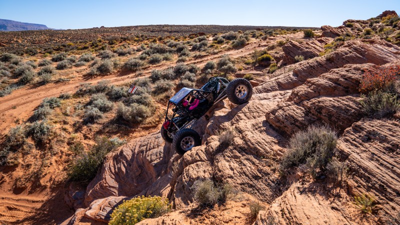
Like an offroad playground, Twister is a continuous offering of technical obstacles that twist, turn, and loop erratically, running parallel to obstacles your buddies might still be conquering. Located near the central part of the Sand Mountain OHV trail system, Twister is an adrenaline-rush trail for big builds as they ascend steep inclines and staddle vehicle-size notches using only the sidewalls of their tires for traction. The plethora of different lines through the many waterfalls, wedges, and off-camber walls leave you talking about this trail for days after your adventure and have you coming back time after time.
Updated: 02/13/2026
Big Indian Road
Spanish Valley, Utah
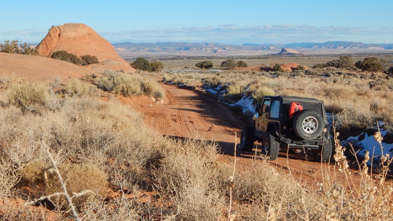
Easily crossing the flowing meadows, passing Eight Mile Rock, Big Indian Road is 8.3 miles of panoramic splendor. The red rock mounds and La Sal Mountains jut out of the landscape, filling the windshield with contrasting views across the meadow grass. The easy route connects the Anticline Overlook Road and Looking Glass Road. In dry conditions, the road can be completed with high clearance 2WD. There can be soft sand and deep ruts after rainstorms. No camping is found along the route. Camping can be found on the area side trails or at the Hatch Point Campground.
Updated: 10/15/2024
Mule Canyon / Arch Canyon Overlook
Blanding, Utah
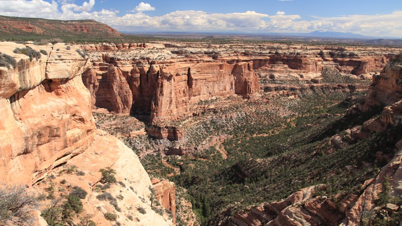
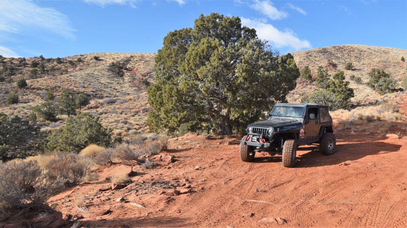
Mule Canyon hosts a significant number of ancient ruins, including the famous House on Fire. Arch Canyon is known for its rugged beauty and, of course, arches. This road leads you to a trailhead for exploring the first and an amazing overlook for the second. Along the way are excellent dispersed campsites, including one on the spur overlooking Arch Canyon.
This trail starts easy and becomes more difficult as you proceed. Five miles in, there are washouts and switchbacks. Later the track does a steep climb onto Texas Flat. Past the Arch Canyon overlook sour, the trail becomes narrow and off-camber. When wet, this section can be impossible to drive. The end of the trail is uninspiring.
Bears Ears National Monument now charges for some activities.
Updated: 06/05/2022
Gunlock Petroglyphs
Santa Clara, Utah
Long before the pioneers came out west, Native Americans had thriving communities hunted and farmed along the Santa Clara River. The archeological evidence that's been found shows their inhabitation was between 700 BC to 1200 AD. When the first Europeans arrived, the Piute Indians were living in the fertile valley around the river. These early native peoples created rock art panels along the river, all the way from Gunlock to St. George.
This trail takes you to a designated site with several different types of Native American artwork. The area is rich in history and offers outdoor enthusiasts numerous activities for the entire family. Hiking through the area offers countless sporadic petroglyphs, there's swimming & fishing at the reservoir, or you can test your vertical skills at nearby rock climbing sites. Last but not least, This trail leads to several primitive campsites that are very close to the Gunlock State Park and Reservoir.
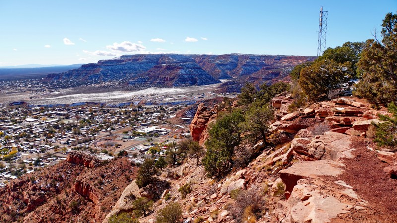
Updated: 09/14/2026
Hog Canyon Radio Towers
Kanab, Utah
This is the main entrance road into the Hog Canyon trail system. Under dry conditions, it is a graded dirt service road leading to a scenic overlook at a radio tower site overlooking the town of Kanab, which should be passable to all vehicles. Under wet conditions, especially after a recent snow, it can be extremely muddy and rutted, requiring a 4WD vehicle. The view from the radio towers is very scenic. This road provides access to numerous other 4WD trails in the area, which are significantly more challenging.
Several large established campsites can be found at the bottom of the valley near the beginning of the road. These are mostly just large dirt parking areas and would be best for RVs and vehicles with rooftop tents.
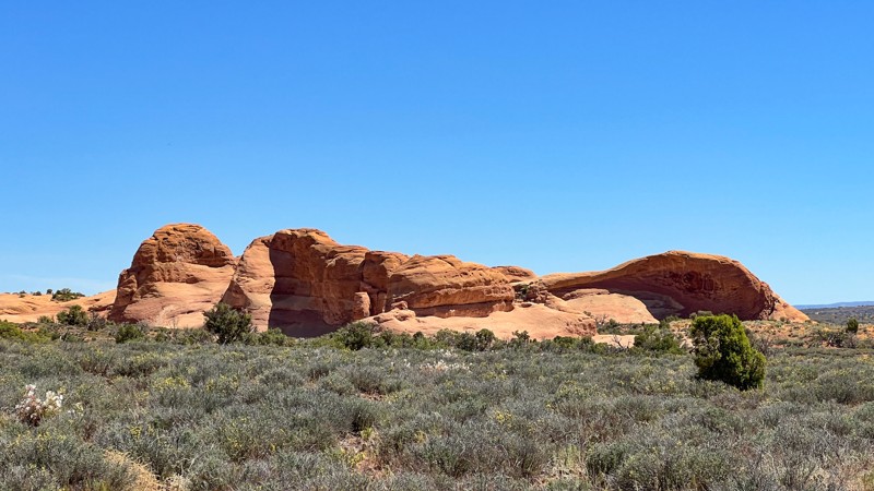
Updated: 04/10/2026
Winter Camp Ridge
Dewey, Utah
Winter Camp Ridge starts as hard-packed dirt that gives way to sand. As the road increases in elevation, the sand gives way to protruding rock. Just before the last 1/2 mile is a gate and a sign that makes it look like the road does not legally continue, but it does. Once past the gate, the hardest part of the trail is a 15-degree slope of slickrock. The route will treat you with surreal rock formations while edging closer to the Arches National Park boundary, then finally ending in a large grassy open area right at the Park's boundary. Only one pre-existing camp was found along the way.
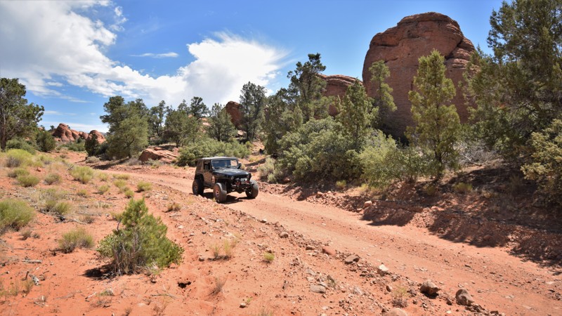
Updated: 06/05/2022
Manganese Wash
Santa Clara, Utah
All great adventures have to begin somewhere, Manganese Wash is an easy gateway to a remote region within the southern Utah desert. The route can be used as an access route to free primitive camping and to explore the numerous other 4x4 trails in the region. You can choose to camp within the unique rock formations at Waypoint 15, take a drive over to Birthing Cave or go for a swim at Gunlock Reservoir. The area was once active with mining which has resulted in a vast network of trails crisscrossing the region. The route travels through a shallow canyon before traveling through a maze of red sandstone rock formations. Connecting the route with Motoqua Road makes for an easy half-day scenic drive.
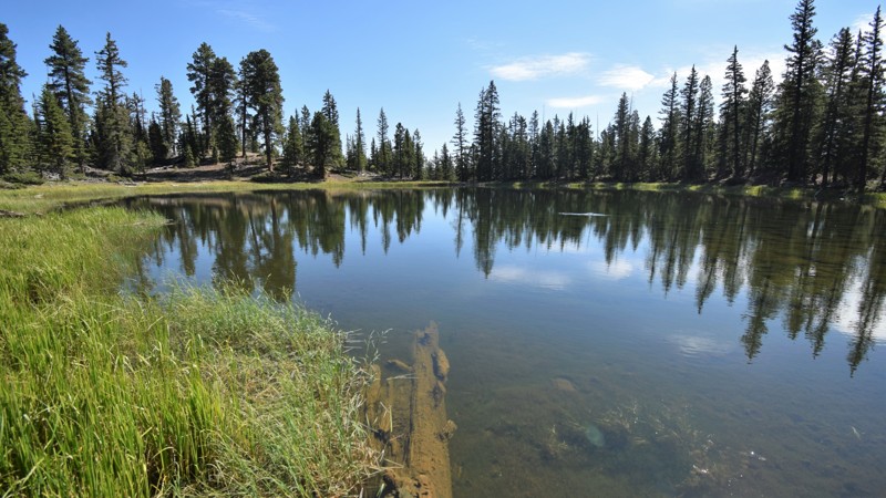
Updated: 05/01/2024
Mammoth Mountain
Duck Creek Village, Utah
Mammoth Mountain trail is a scenic yet challenging alternative to other less difficult routes within this region of Dixie National Forest. The route travels to both the secluded Dead Lake and Jenson Sawmill historical site where the wood for the original school in Cedar City was harvested. It's a very short walk to Dead Lake, a wonderful place for trout fishing or just taking in the view in the shade of a tall pine. After Dead Lake, the trail is very tight trees with an abundance of large lava rock. There are downed trees and a few mild challenges between the lake and the historic mill site. The trail can is used for connecting with several other trails within the National Forest OHV network.
Updated: 07/03/2026
Harris Wash and V Road
Escalante, Utah
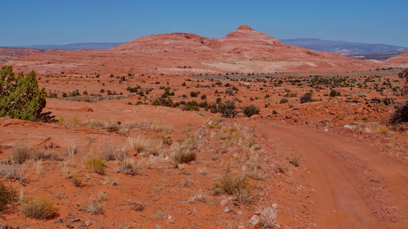
Harris Wash Road and V Road are technically two different roads, though they appear on the ground as one. The road leads from Hole in the Rock Road deep into a wilderness study area in the Red Breaks area of Grand Staircase Escalante National Monument. It provides the closest hiking access to the Cosmic Ashtray, one of the most famous geological features within the monument. The road is worth driving even without the hike for the spectacular views of the large Red Breaks petrified sand dunes.
The first half, Harris Wash Road, is graded dirt, usually passable in any vehicle as far as the Harris Wash trailhead. After crossing Harris Wash, the road name changes to V Road. V Road has had a history of closures and reopenings. Currently, the road appears to continue, but the latest Travel Management Plan signed in December 2024 has closed the continuation after Harris Wash. This section may reopen in the future.
There are several excellent dispersed campsites to be found along this road. All backcountry camping in Grand Staircase Escalante National Monument requires a permit, which can be obtained at the visitor center in Escalante.
Updated: 05/06/2026
Horn Silver Gulch (Dutch Flat Road)
Ferron, Utah
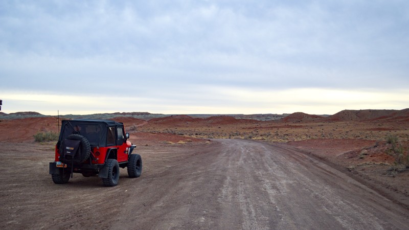
Horn Silver Gulch (Dutch Flat Road) is a great way to access the San Rafael Swell. On many parts of the trail, you get some excellent views of this remarkable area of the Swell, Cedar Mountain, and the Molen Reef. It is a mild trail with many camping opportunities, so whether you are looking for a whole weekend or just an afternoon in the Swell, this trail is an excellent way to get there.
Updated: 07/28/2026
Factory Butte Road
Caineville, Utah
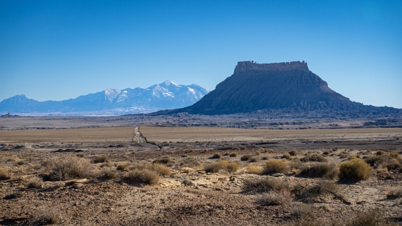
This offroad trail crosses a dead flat plateau of hard-packed, grayish bentonite clay, with views of Factory Butte, the most recognizable feature in the immediate area. It is bordered by Capitol Reef to the west, the Henry Mountains to the south, San Rafael Swell to the north, and the San Rafael Desert to the east. This road gives you access to a vast network of four-wheel drive routes within the Factory Butte OHV system as well as the open OHV areas. It can also be used to connect to Wild Horse Road, which takes you all the way to Goblin Valley on dirt. This is a relatively maintained dirt road, with a few small patches of bumps after rain storms. 2WD and high clearance will be plenty under dry conditions. However, due to the bentonite, 4WD will be required if the trail is wet, but it is advised to avoid it altogether if there is heavy rain in the forecast. Camping is available in many locations, all in the form of dispersed camping. Interestingly, some scenes of Disney's "John Carter" were filmed in the factory butte area.
Updated: 08/11/2026
Mill Creek Road
Altamont, Utah
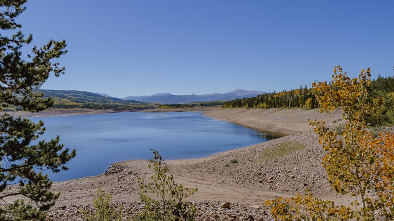
Mill Creek Road provides access to the northern Uinta Wasatch-Cache National Forest heading east before heading directly north and crossing the Wyoming border to drop you off at Meeks Cabin Reservoir. This is a beautiful drive to see the changing aspen during the Fall. The various spurs leading off Mill Creek provide access to dispersed camping and OHV trails.
Be prepared to share the road and the camping! This area is popular for ATV/UTV, trailer camping, and hunting. To secure camping be sure to get out there early or look for sites down some of the spurs where people are less likely to take a large trailer. Stop by the National Forest kiosks and purchase your recreation pass. A 3-Day pass is only $6 and helps support the management agency's work in the Uinta Wasatch-Cache National Forest.
Check for seasonal closures! This area is accessed via the Mirror Highway, which is gated in the winter due to high snow accumulation. The state does not plow north of Soapstone Basin on the highway to nearly Wyoming.
Updated: 08/11/2026
Big Flat
Brighton, Utah
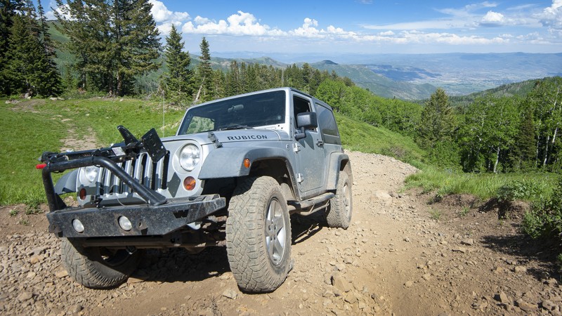
Big Flat is a short trail that packs a big punch! It's a spur trail off the Snake Creek Road, also known as Baker Fork for those coming in from American Fork Canyon. After driving dusty gravel roads, it's a nice break that will test your skills and reward you with breathtaking views of the Heber Valley and the High Uintas in the distance. The key to driving Big Flat is tire placement. The trail has many segments where erosion has left deep gullies in the already off-camber roadway. Be cautious in your tire placement. And use 4WD low right from the start for a better experience.
The trail is wholly in the Uinta National Forest, with dispersed camping permitted. An excellent site at the top of the roadway is protected by trees, with a large fire pit and stunning views.
Big Flat is also a great connecting route to Ridge Trail 157 and the Alta Dry Fork Trail. It's just a two-mile hike to Sunset Pass overlooking Alta and Brighton ski resorts. You can easily drop down into either. On your way back down to the roadway, look for a left fork towards the bottom, which will then put you on a pathway to drop down a steep hill into the bottom meadow.
Have fun. It's a nice little skill tester with a big reward at the top!
Updated: 04/07/2024
Lucky Strike Mine
Hanksville, Utah
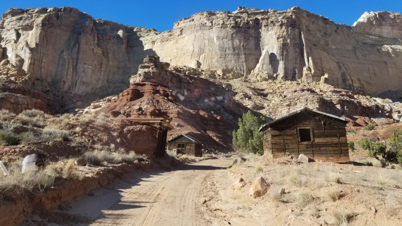
Whether out enjoying the epic overlanding or taking in the stunning scenery of The San Rafael Swell, there is a hidden gem in the shadows of the towering cliffs known as the Lucky Strike Mine. This short off-road trail leads to one of the most unique and well-kept ghost towns of the area. With hours and hours of exploring and adventure, there is no reason to pass this unique feature of the desert, as it is sure to amaze. The next time you have that offroad/overland vehicle packed up and are looking for something unique with great camping options, check out Lucky Strike Mine. You won't be disappointed!
Updated: 09/27/2023
Butts Point
Blanding, Utah
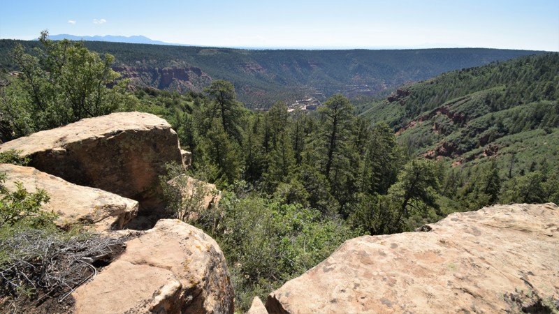
There are numerous side trails within the Manti-La Sal National Forest that are real hidden gems for various reasons. Butts Point is one of those thas one of the best campsites around with cool breezes within the pines. Your overland trip will be complete when adding this short one into your trip plans!

Updated: 03/31/2024
East Tintic Mountain Exploratory Canyon Route
Eureka, Utah
About 1 1/2 hours from Salt Lake City, this four-wheel-drive route is in the Prospector OHV Network and brings you along the East Tintic Mountains. This route gives you off-road access into the historic canyons in which the prospectors mined silver and gold in this area referred to as the "Tintic Mining District." The Tintic Mining District is among the oldest mining camps in Utah. Ore was first discovered in December 1869, about a mile east of Silver City, and the district was organized the following spring. The district is named in honor of the Ute Indian Chief Tintic, who lived his whole life in the area with his tribe. Shortly after the district was organized, an influx of settlers, prospectors, and miners started to move in. By 1899, the Tintic District was the leading mining center of the state of Utah.
Updated: 10/15/2024
D1900 - Gemini Bridges to Metal Masher
Moab, Utah
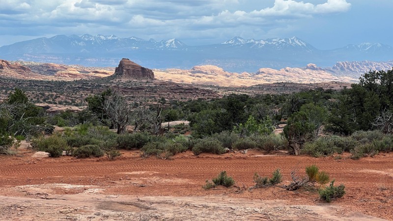
D1900 is a picturesque shortcut available between Gemini Bridges and Metal Masher in Moab, Utah. The trail begins at Waypoint 11 of Gemini Bridges and ends between Waypoints 3 & 4 of Metal Masher. Although this route may be slightly shorter than the usual one, it's worth taking a break to enjoy the breathtaking panoramic views, which may lengthen your travel time. D1900 is also slightly more challenging than the regular beaten path, with a few small slickrock ledges to navigate.
Updated: 05/01/2024
Strawberry Loop
Cedar City, Utah
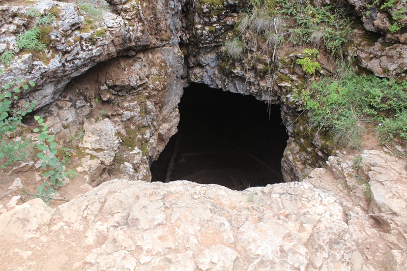
This great trail ends at the Duck Creek Campground and is only 50 minutes east of Cedar City. Along the trail there are several stunning lookout points that are a great opportunity to get out of the car. At Waypoint 8 is the turn for the one room limestone Ice Cave. The cave contains year-round ice and provides a unique experience of the temperature difference only a few feet below ground. You can combine this trail with Strawberry Point trail for even more stunning views.
Updated: 07/01/2025
Oil Well Flat
Green River, Utah
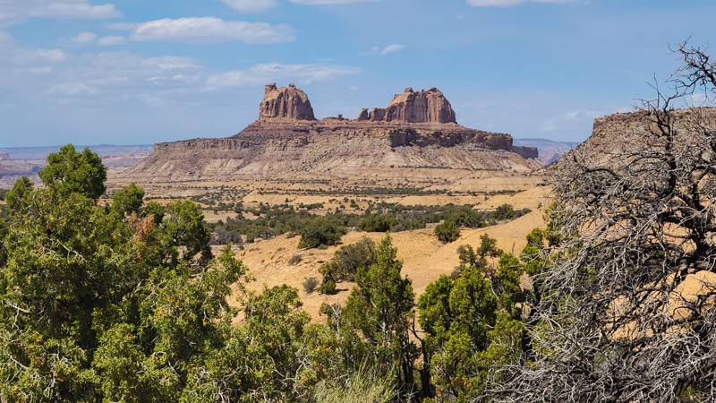
Oil Well Flat is a fun, offroad trail within the heart of what is truly a natural wonder, the San Rafael Swell. The shifting terrain is sure to keep you wondering what’s around the next bend. You’ll wind through junipers and bobbing slopes of colored sandstone. Beyond a clearing in the trees, the trail parallels the towering sandstone cliffs and towers. Spring and fall are prime seasons to visit, when temperatures are moderate. Ideal for beginners, combining this trail with both The Wickiup and Round Knoll creates a wonderful loop around this mesmerizing landscape.

Upgrade your Membership
Unlock all of the details on every Trail Guide and Scout Route.
Start a 7-day Free TrialBrowse Trails in Utah by City
Browse every Utah city with offroad trail guides.
Community
Partners

