



By clicking "ACCEPT", you agree to be the terms and conditions of each policy linked to above. You also agree to the storing of cookies on your device to facilitate the operation and functionality of our site, enhance and customize your user experience, and to analyze how our site is used.
Nevada Off-Road Trails
93
Total Trail Guides 87

987
Detailed Waypoints 129
Try a Free 7-Day Trial and unlock it all
Start a Free Trial Most Recent Trail Reviews
Rated 3/5
Open
Visited: 09/15/2026
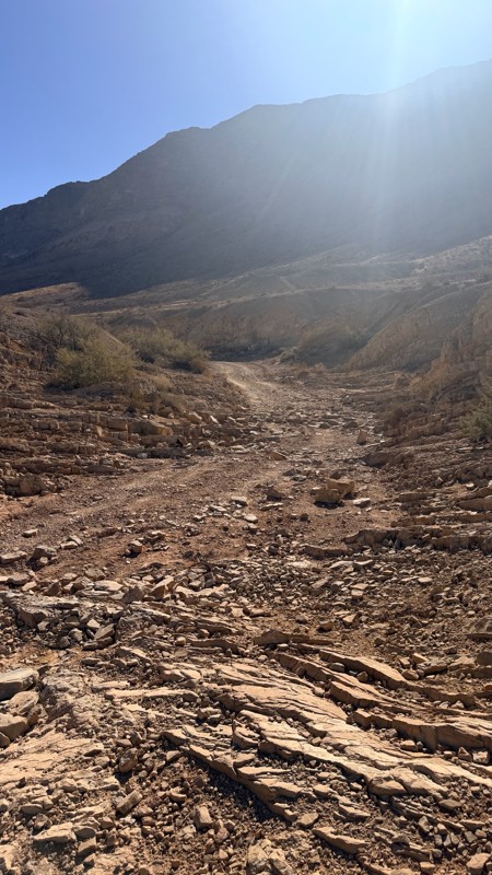
Unfortunately Kodachrome Road appears to have been recently graded. The fins have more or less been obliterated, leaving mostly a crush box. The deeper rutted section of the wash on the Vegas site has...

H
HotRatShit
Rated 1/5
Open
Visited: 09/12/2026
The rock fins are no longer there.. I’m not sure if they were washed out or were removed by someone. If the landmark wasn’t marked on the map I’d never actually know there were rock fins. I ran the wh...
Mario
Rated 5/5
Open
Visited: 09/11/2026
awesome place to camp and for a day trip . the trail is smooth. but gets busy on the weekends.

Dex Offroad
Rated 5/5
Open
Visited: 09/06/2026
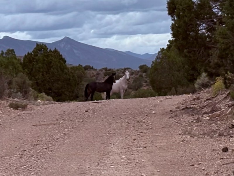
Very quiet scenic drive with lots of off shoot trails to forested areas for dispersed camping. Many other trails in the area to connect with including the Silver State Trail.
KB
Kevin Bigley
Rated 4/5
Open
Visited: 09/06/2026
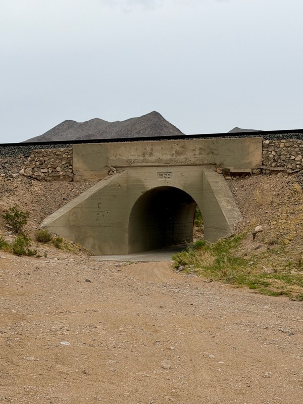
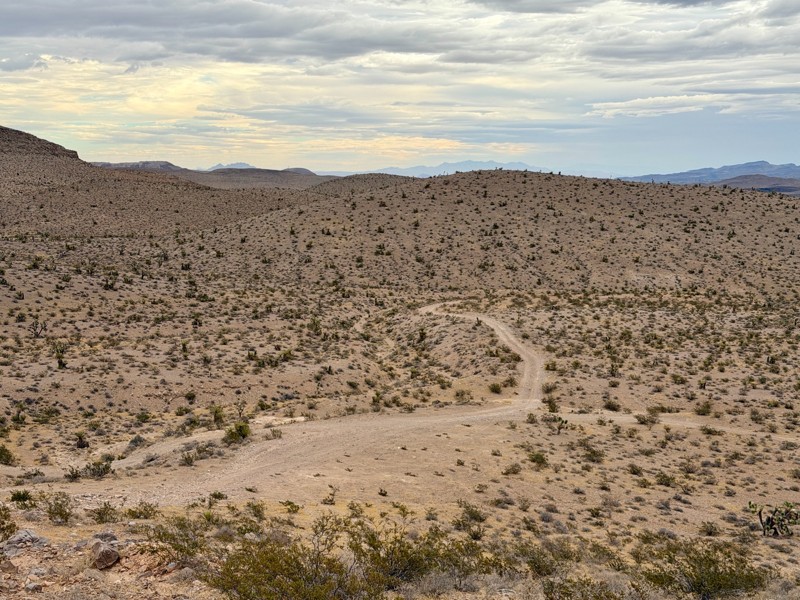
Railroad Canyon is a short rock crawling trail that is super close to Las Vegas. Easy trail acceess is made off the south end of Las Vegas Blvd. Begin by heading under the interstate overpass and th...

Bill
Rated 5/5
Open
Visited: 09/04/2026
Just as described. Ran it West to East. Camped at the campground. Stars were amazing. Saw no one entire time.
KB
Kevin Bigley
Rated 2/5
Open
Visited: 08/27/2026
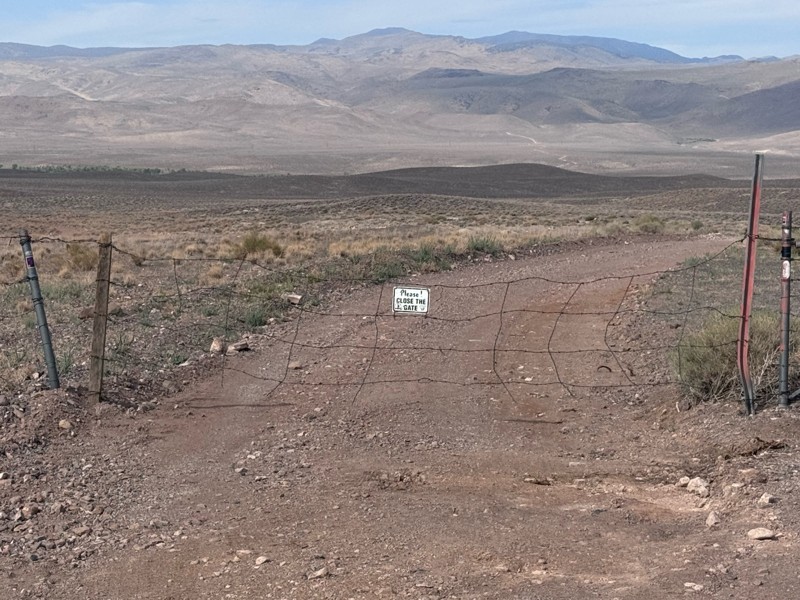
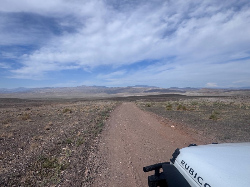
For the most part, this road is not graded. There were some sandy spots and water obstacles ( some avoidable and others not).
The last 1/3 of the trail that ends at Wild Horse Trail was pretty rough ...
Kim Soucek
Official Crew
No Rating
Open
Visited: 08/27/2026
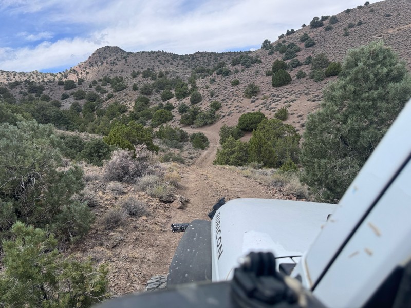
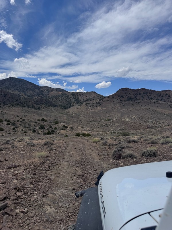
This trail is so fun! Twisty turns and steep drops and climbs- with beautiful rugged back country scenery the whole way.
On the Dayton side descent, I was rewarded with majestic views of the mountai...
Kim Soucek
Official Crew
No Rating
Open
Visited: 08/20/2026
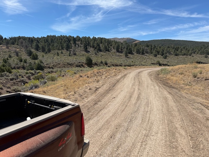
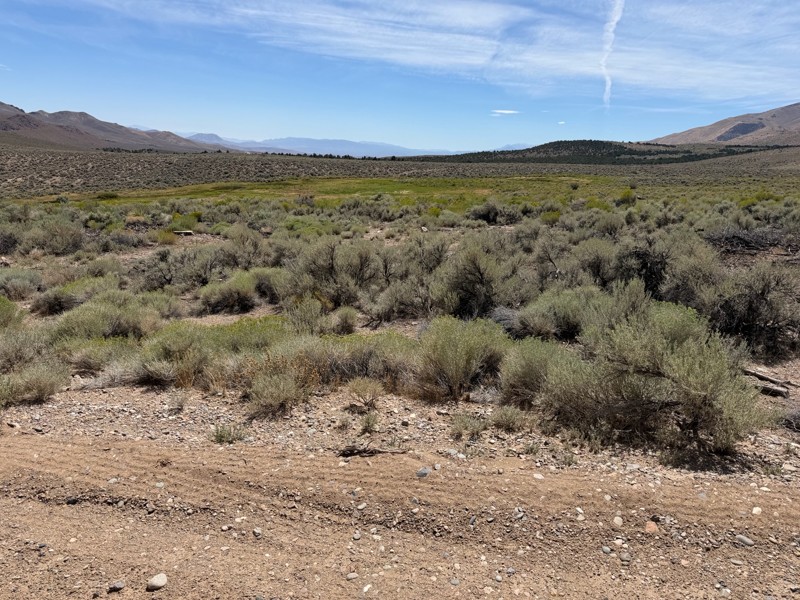
I’m new to this and don’t know what folks consider graded but to me this is not a graded road. Maybe it’s my truck but this route today was about 1/4 smooth and the rest was moderately very bumpy. Lot...
DD
Darius Davenport
No Rating
Open
Visited: 08/19/2026
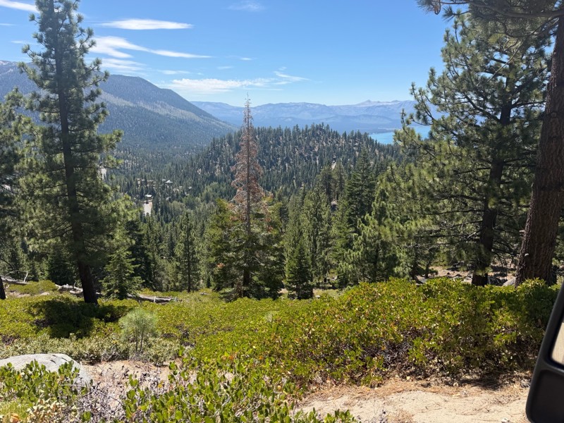
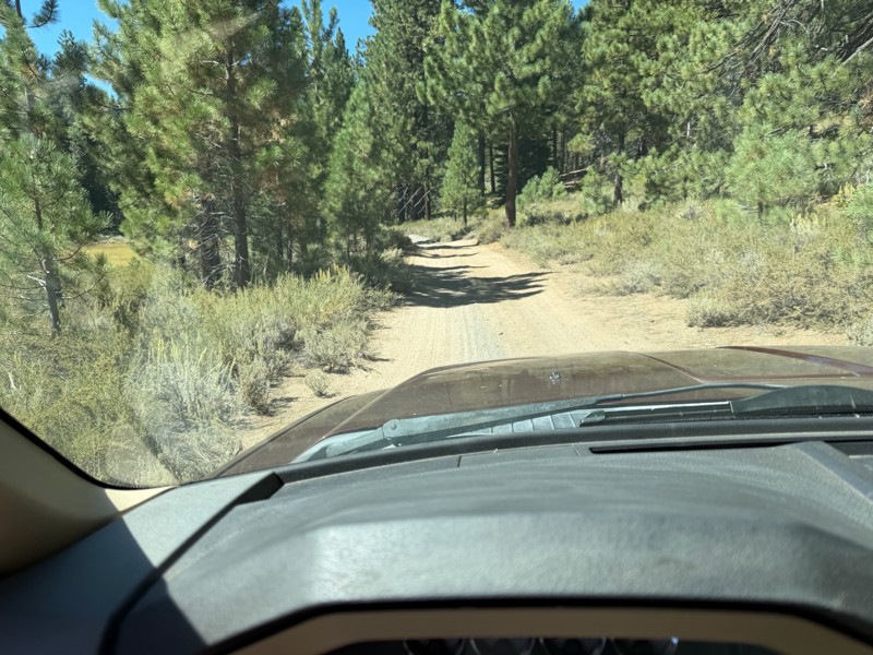
I rode Genoa Peak road from SR 50 to Logan Loop which brings you back to Genoa Peak and then south until Kings Berry Grade. I’m a very experienced driver but new to off roading. I actually wouldn’t ca...
DD
Darius Davenport
No Rating
Open
Visited: 08/11/2026
Per the MVUM, the trail is seasonally open. As always, check current fire restrictions/closures before venturing out.

Trails Offroad
Official Crew
Rated 3/5
Open
Visited: 08/10/2026
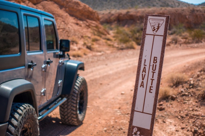
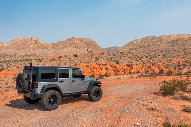
This is a quick and easy trail that is close to town. The trail is well groomed and accessible for beginners or stock rigs. Open desert landscape with volcanic rock all around here. Take the trail...
Bill
Rated 4/5
Open
Visited: 07/29/2026
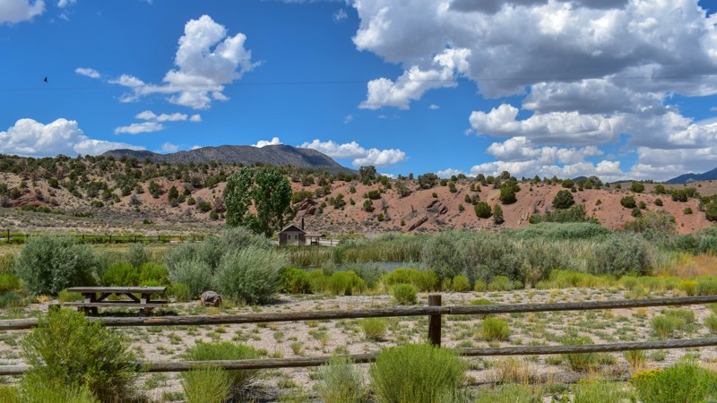
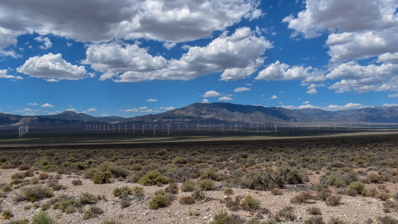
Something has always drawn me to this area. I’ve been coming out here for nearly 15 years prospecting and mining. The pond at Sacramento Pass is stocked, and I’ve had a decent dinner from what I caugh...

Cory Wooldridge
Official Crew
Rated 4/5
Open
Visited: 07/29/2026
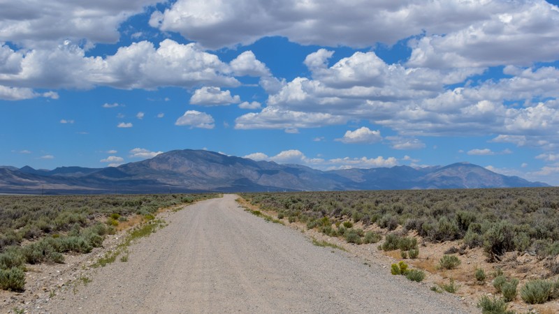
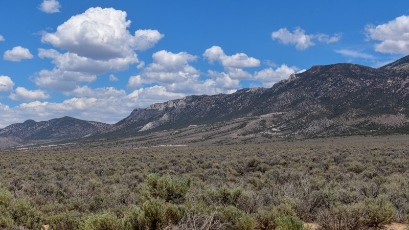
This trail gets 4 stars, not for the trail itself but for the access it provides. We have camped up Willard Creek Rd many times over the years. The lower site along the creek currently doesn’t have mu...
Cory Wooldridge
Official Crew
Rated 3/5
Open
Visited: 07/29/2026
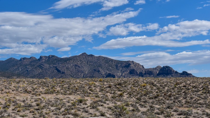
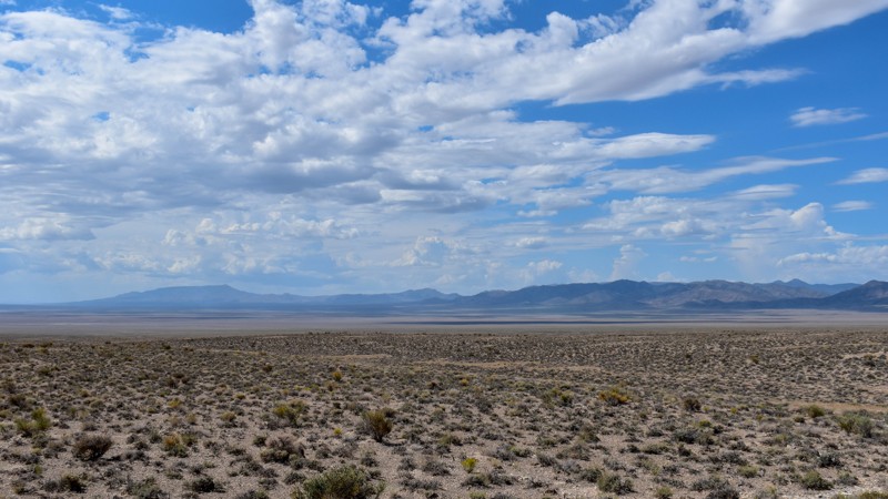
We love exploring old mines and ghost towns, even if only from the road. The west side of the Snake Range is rich in mining history, with silver and tungsten at the extremities and gold at the heart i...
Cory Wooldridge
Official Crew
Rated 3/5
Open
Visited: 07/29/2026
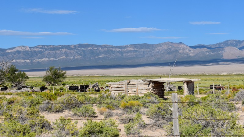
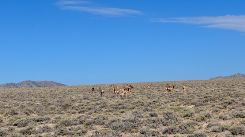
The old cabin and well way out in the middle of the valley were a neat surprise. There was a herd of antelope that was happy to stare back at us as we stopped to take pictures. The high-water line and...
Cory Wooldridge
Official Crew
Rated 3/5
Open
Visited: 07/28/2026
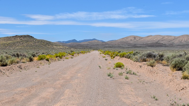
I love how smooth some of these roads are, the lack of trash, ruts, potholes, etc, make so many of these roads out here that much more enjoyable. Not much to see along this trail, but the distant view...
Cory Wooldridge
Official Crew
Rated 4/5
Open
Visited: 07/27/2026
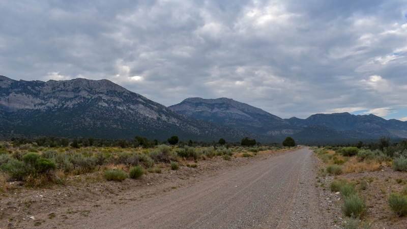
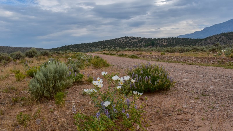
This is a gem of a dirt road. The entire network of trails south of Ely has been a fun week to explore, and North Cave Valley Road delivered an easy stretch of dirt that carried us for miles through o...
Cory Wooldridge
Official Crew
Rated 4/5
Open
Visited: 07/27/2026
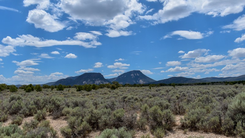
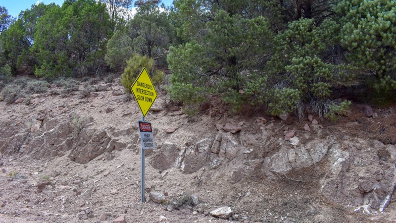
I love the way the clouds cast shadows, dotting the valley flow and framing the mountain ranges in different perspectives as time passes. The jagged mountains were neat, the horses were active as we m...
Cory Wooldridge
Official Crew
Rated 3/5
Open
Visited: 07/27/2026
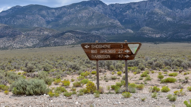
Its a beautiful, open trail with picture perfect tall sagebrush and the east and west ends, with small sage in the low lying valley named Baking Powder Flat. There were some quarry work areas which ma...
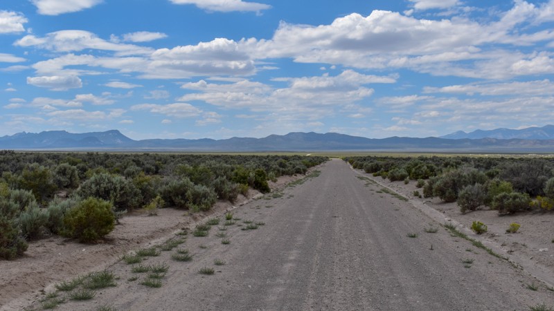
Cory Wooldridge
Official Crew
No Rating
Open
Visited: 07/26/2026
This trail is between a 4 and 5 star for me. I love the changing scenery and juniper tress. Seemingly endless valleys with mountains bordering the trail, groups of wild horses, easy dirt road. One win...
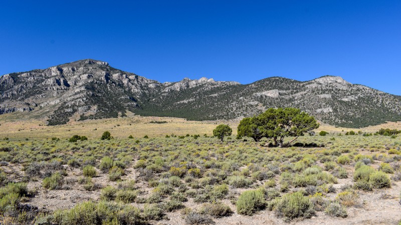
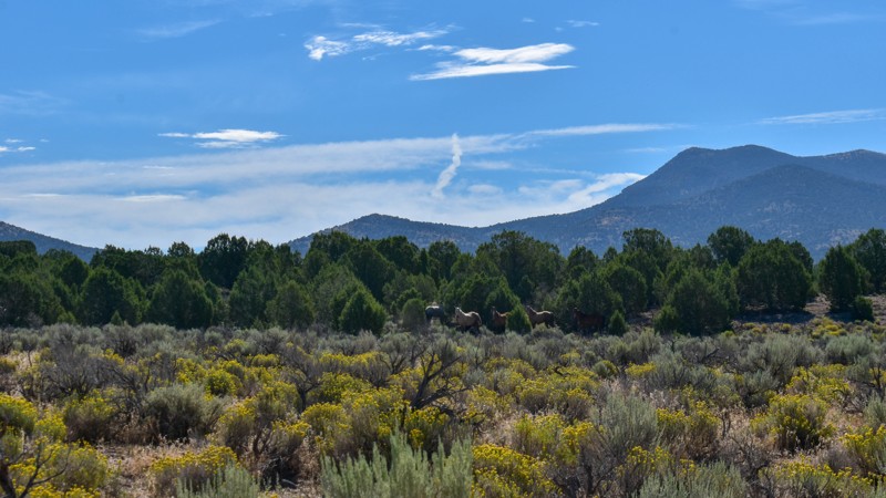
Cory Wooldridge
Official Crew
Rated 4/5
Open
Visited: 07/26/2026
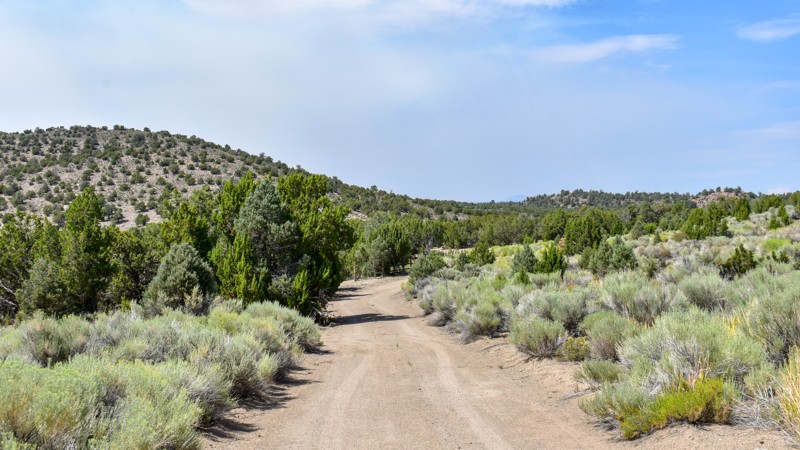
The history along this trail was a pleasant surprise. The scenery was nice, a couple of old small ruins barely visible through the sage to the west of the road, and a larger stacked wall to the west n...
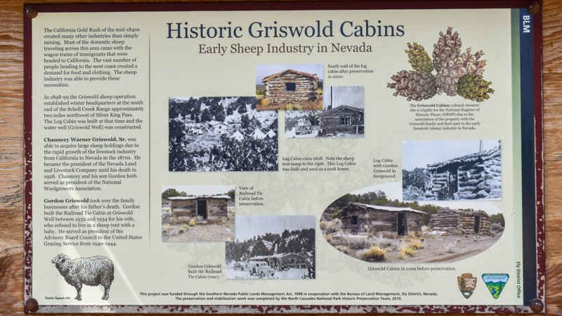
Cory Wooldridge
Official Crew
Rated 3/5
Open
Visited: 07/26/2026
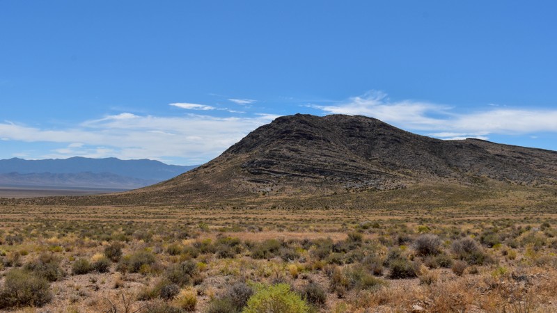
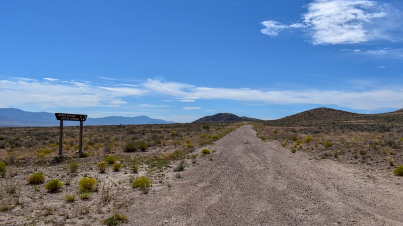
Another connector trail with gorgeous views and Coyote Spring or Stonewall Spring depending on your map at the south end. It's nice and green at the spring, but fenced and private property. Not much t...
Cory Wooldridge
Official Crew
Rated 3/5
Open
Visited: 07/26/2026
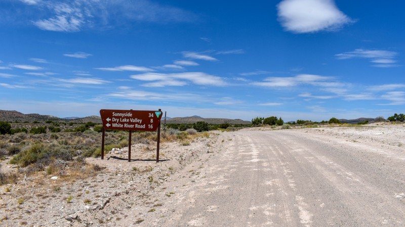
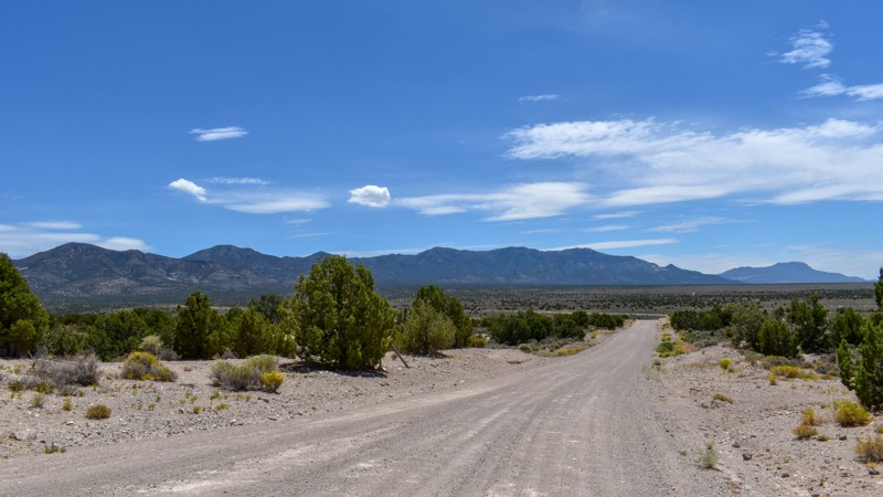
We camped in Spring Valley between Pioche and Ely for a week and went to the hot springs a couple of times taking different paths each time, this was by far the quickest and easiest way across. The vi...
Cory Wooldridge
Official Crew
Rated 3/5
Open
Visited: 07/26/2026
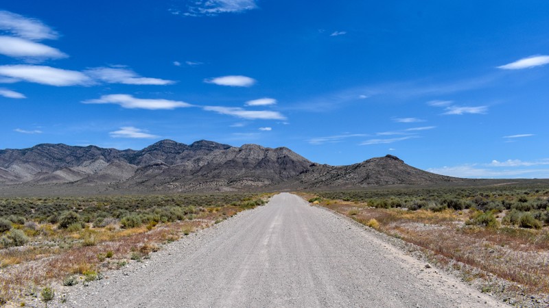
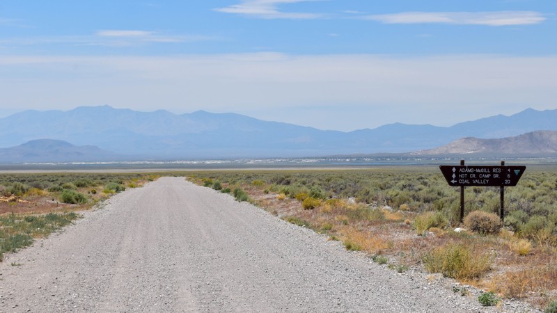
We've passed by this road when coming up from the south to go to Hot Creek and used the main entrance further north several times not knowing this was here. Coming up from the south this cuts off a li...
Cory Wooldridge
Official Crew
Rated 3/5
Open
Visited: 07/24/2026
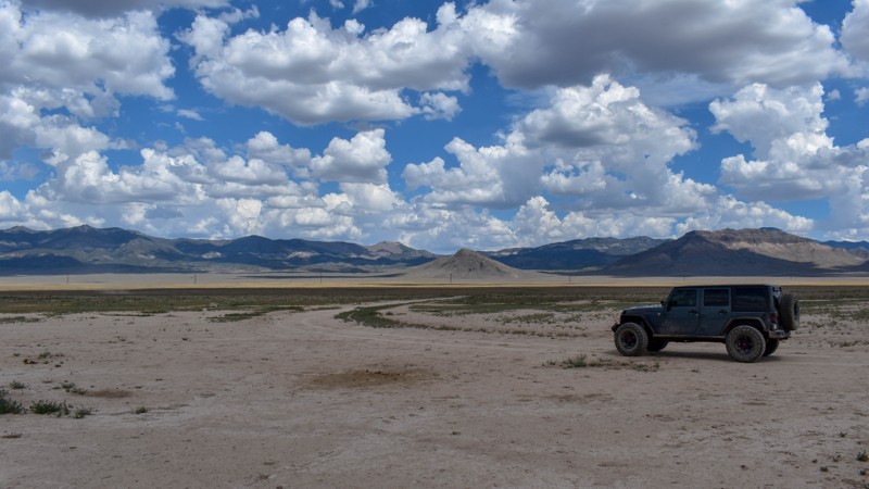
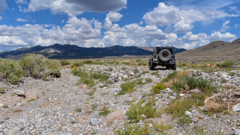
The maps imply this was once a decent road, either end of it still are, but the middle is not. There are sections where any trace of the road has been washed away into rocky gravel stream beds, with p...
Cory Wooldridge
Official Crew
Rated 5/5
Open
Visited: 07/24/2026
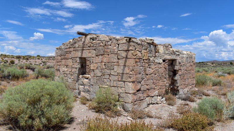
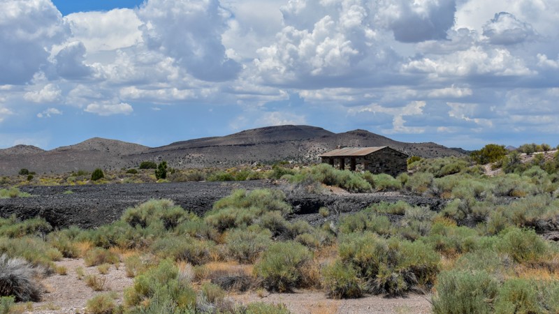
The maps of this area are very confusing and contradictory. Researching this trail, the trail name should have reached the old ghost town site, which at the time of mapping I thought was only a local ...
Cory Wooldridge
Official Crew
Rated 2/5
Open
Visited: 07/24/2026
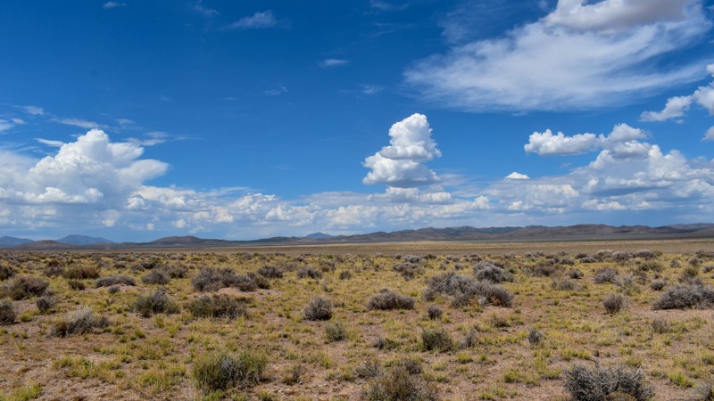
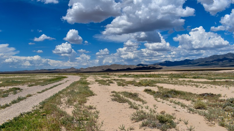
Forget the photos in the first review, pics here, notes there.
Cory Wooldridge
Official Crew
Rated 2/5
Open
Visited: 07/24/2026
This trail does offer expansive views, although not as exciting as others. There was a herd of antelope at Bullfrog Reservoir, which to us desert dwellers is called a tank, an earth berm with what I a...
Cory Wooldridge
Official Crew
Rated 3/5
Open
Visited: 07/24/2026
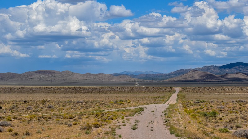
We got spoiled with the more northern mountainous trails, this one is a good connector during the dry months to get somewhere else in Cave Valley. The charcoal ovens though, are absolutely worth the t...
Cory Wooldridge
Official Crew
Rated 3/5
Open
Visited: 07/24/2026
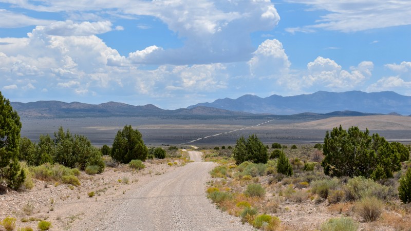
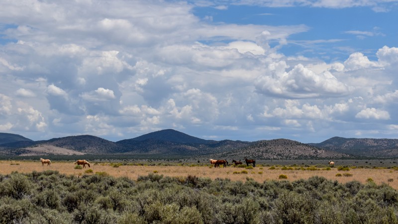
The wild horses and the old smelter slag, cabins, and charcoal ovens in the distance were the trail highlights for us. I prefer the trails further north for the scenery and vegetation, but the wild ho...
Cory Wooldridge
Official Crew
Rated 4/5
Open
Visited: 07/24/2026
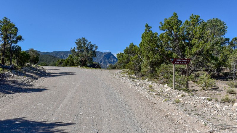
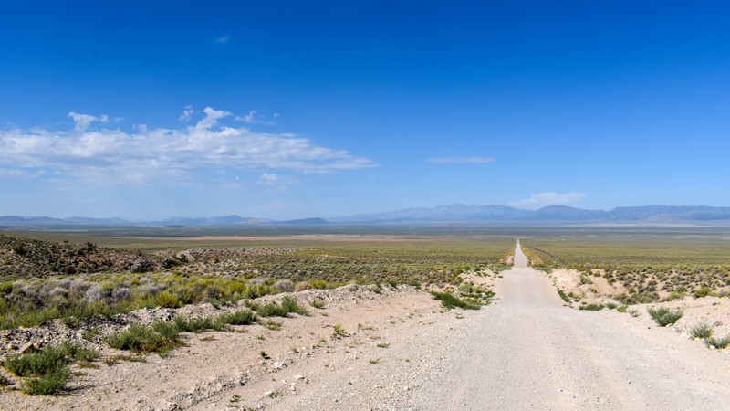
We took Patterson Pass Rd to Shingle Shortcut and onto Shingle pass to get to the Hot Spring Creek across the 318 near Dave Deacon campground. The ride was easy going, enjoyable and pretty. Several bl...
Cory Wooldridge
Official Crew
Rated 3/5
Open
Visited: 07/24/2026
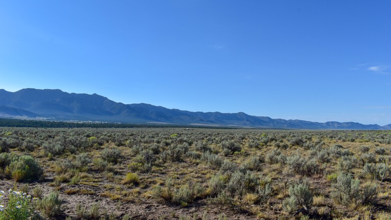
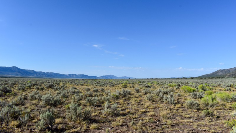
Compared to the surrounding trails, I gave this a 3 star rating. It is still a pretty trail. I do not like mud, and the low lying areas are that type of slick silty mud that could easily cause issues....
Cory Wooldridge
Official Crew
Rated 5/5
Open
Visited: 07/23/2026
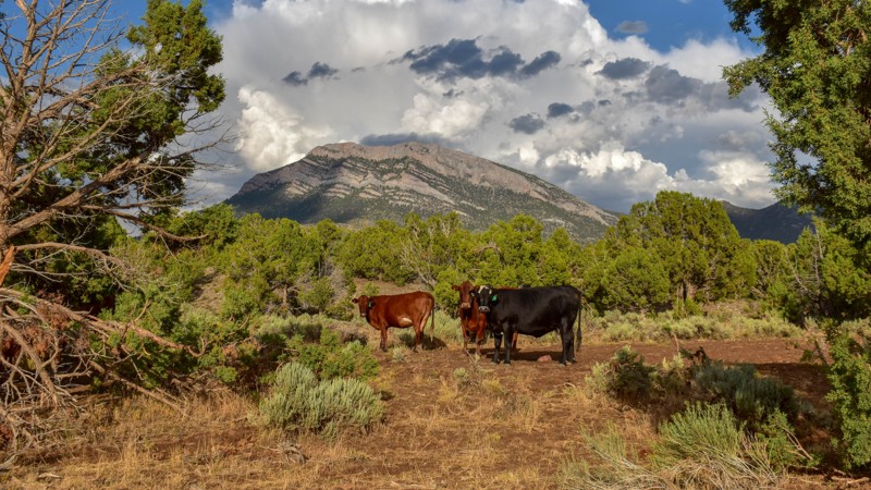
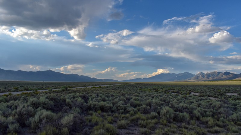
This trail was gorgeous. I like the scenery and the feel of the higher country trails in the northern area of Cave Valley more so than the southern. All in all, I haven't found any flat out boring roa...
Cory Wooldridge
Official Crew
Rated 4/5
Open
Visited: 07/23/2026
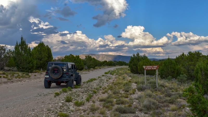
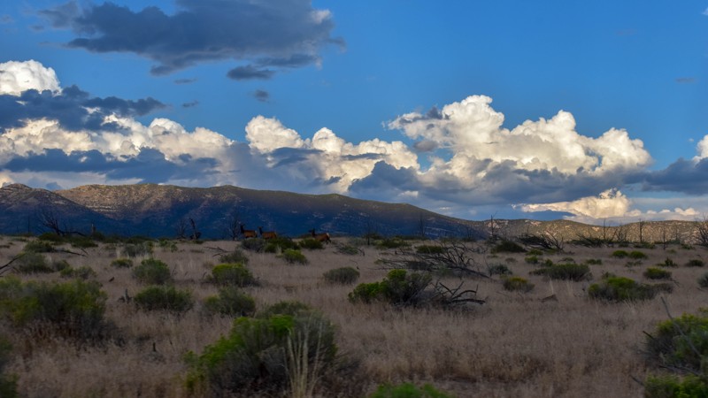
This trail had the most wildlife of any of the trails on this trip. We saw multiple elk, deer, and pronghorn antelope. Overall, this is a very pretty drive, and the easiest access from the east into C...
Cory Wooldridge
Official Crew
Rated 5/5
Open
Visited: 07/23/2026
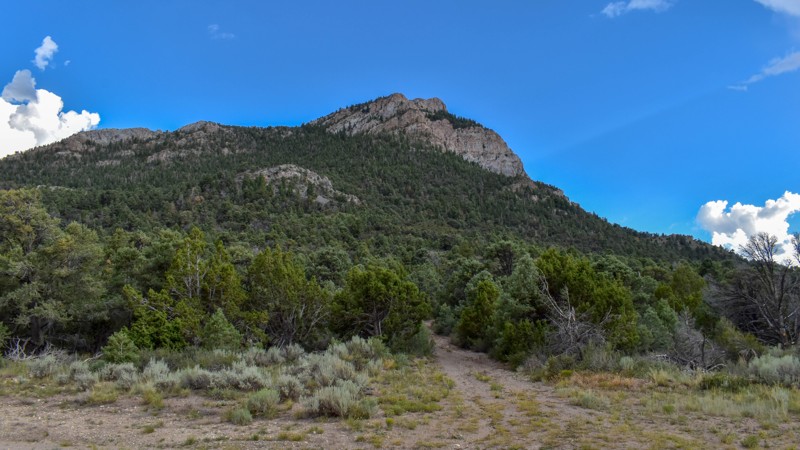
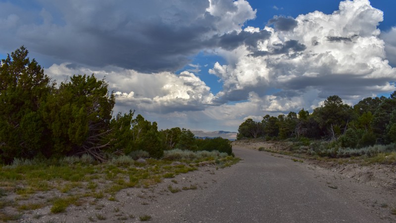
We've camped at Patterson Pass several times, but this was the first time exploring into Cave Valley. This area is gorgeous, the roads were just my style, and the weather was great. The evening monsoo...
Cory Wooldridge
Official Crew
Rated 4/5
Open
Visited: 07/12/2026
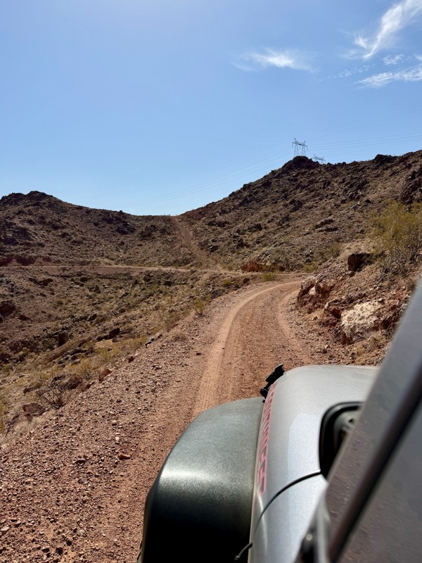
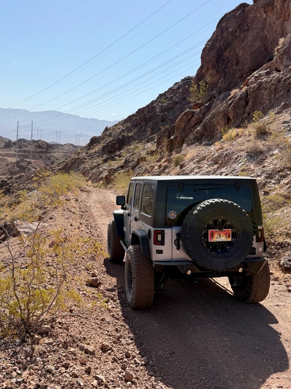
This is a short but exciting trail. You begin by climbing a series of rocky switchbacks that serve as access to the powerlines that tower above you. Don’t get distracted by the scenic views of Lake ...
Bill
Rated 5/5
Open
Visited: 07/06/2026
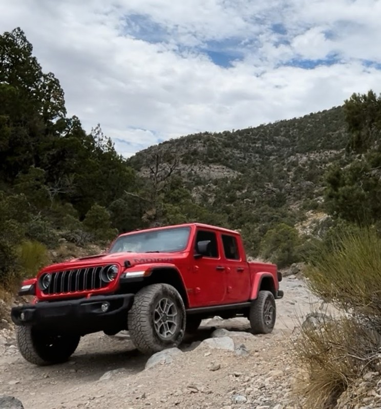
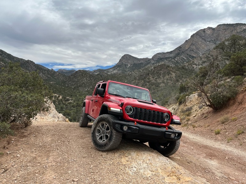
Really Rocky Road - Lift Kit recommended
EC
Edgar Carrillo
No Rating
Open
Visited: 06/29/2026
Joined this at Waypoint 12 of Potosi Pass Road. This isn’t a trail; it’s a four lane wide, mostly gravel, well graded, racetrack. Watch out for locals running at high speeds. It’s worth taking it t...
KN
Karen Nowak
No Rating
Open
Visited: 06/28/2026
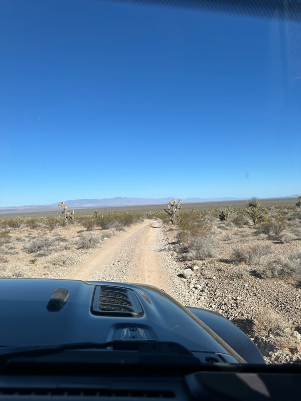
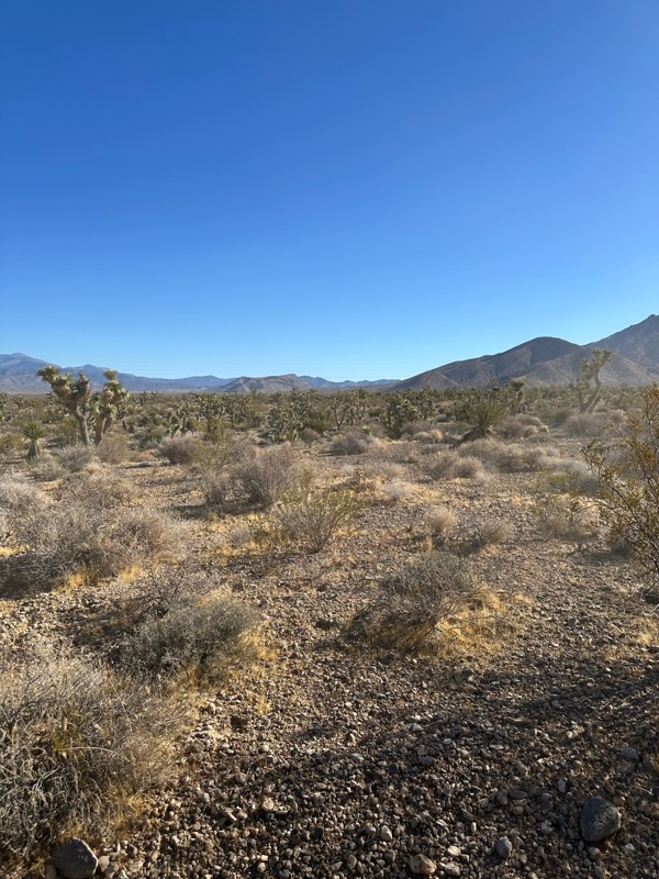
Have done this route before and the problem with Google sending you off course to get to the trailhead off Highway 160 has been solved. It now finds the Potosi historical marker and its attendant le...
KN
Karen Nowak
Rated 5/5
Open
Visited: 06/21/2026
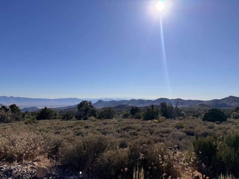
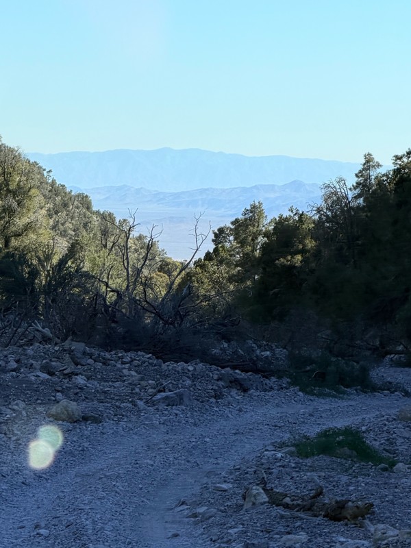
pretty easy trail with really awesome camping opportunities!
AK
Abby Kersey-Mendez
Rated 5/5
Open
Visited: 05/31/2026
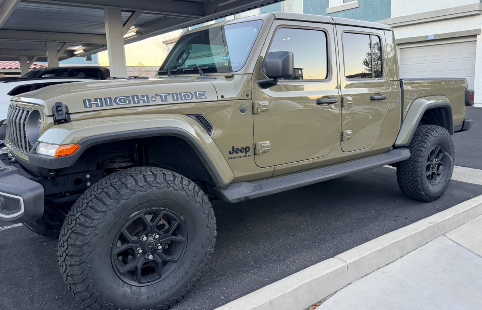
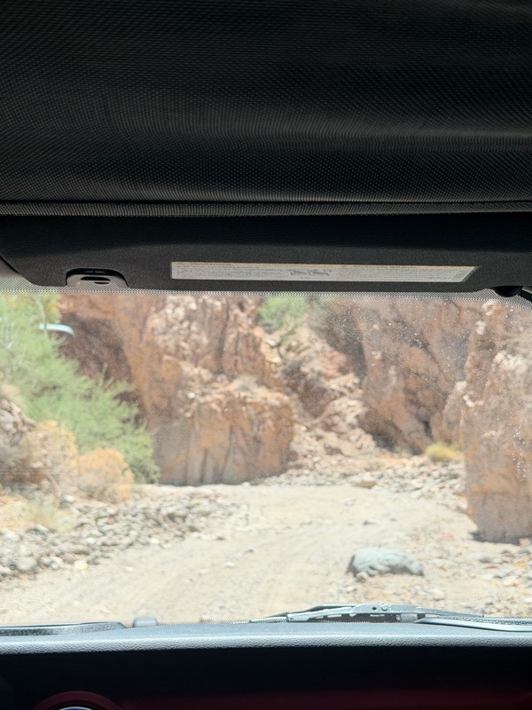
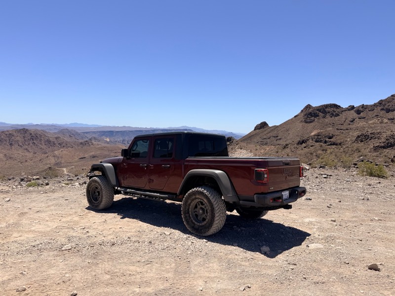
harder than we expected. drove a jeep gladiator for the first time. we got through it but the end was a bit dicey.
AK
Abby Kersey-Mendez
Open
Visited: 05/25/2026
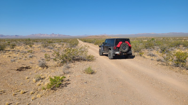
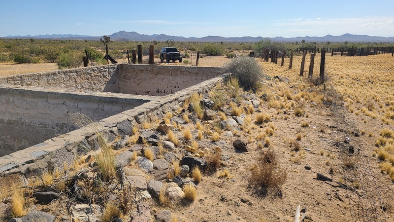
When hiking, watch out for the Cholla cactus and its spines. These are no joke. The microscopic thorns fishhook-like barbs that are very difficult to remove and even stick to your hands when trying ...

Robert
Official Crew
Rated 5/5
Open
Visited: 05/24/2026
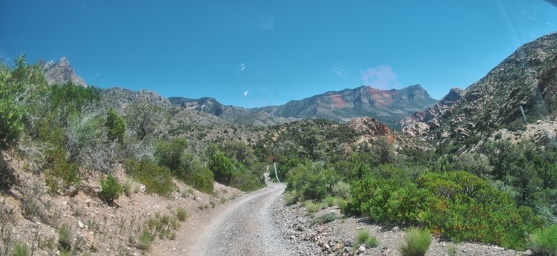
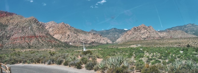
Completed this trail in my Gladiator Rubicon with a 2" lift and 35" tires. It was a pretty easy trail and found the rock Garden a nice challenge and had no problems getting through it. The trail was v...

PBenn
Rated 5/5
Open
Visited: 05/23/2026
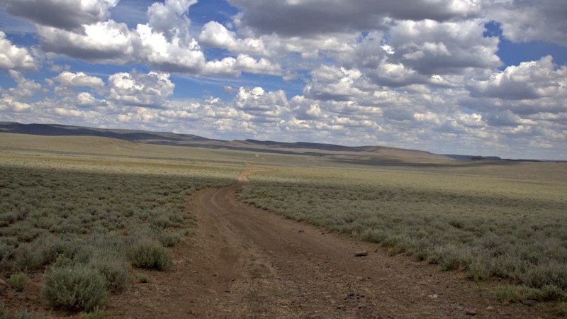
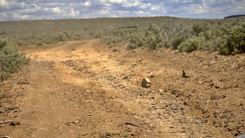
We used High Rock Canyon Road to reach the northern entrance of the High Rock Canyon Trail, and it was a great way to kick off the adventure. While the road isn't particularly difficult, the sweeping ...

Rose Meirs
Official Crew
Rated 5/5
Open
Visited: 05/23/2026
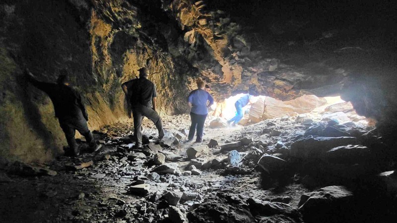
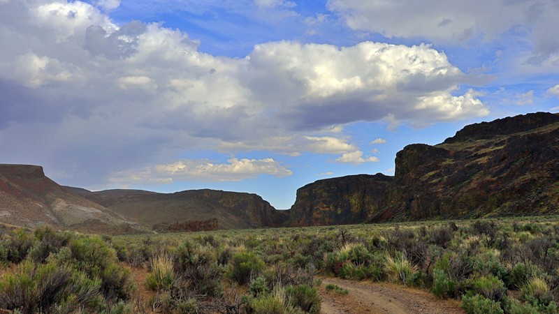
We tackled this trail with a group of six Jeeps and a Colorado ZR2 Bison, and while the route is not particularly difficult, it delivers plenty of adventure along the way. Expect narrow sections where...
Rose Meirs
Official Crew
No Rating
Open
Visited: 05/22/2026
Ran this trail from west to east. The turn off from Sandy Valley Road is easy to miss. The whole area is rich in mining history so it’s interesting to explore.
KT
Ken Turzinski
Rated 5/5
Open
Visited: 05/18/2026
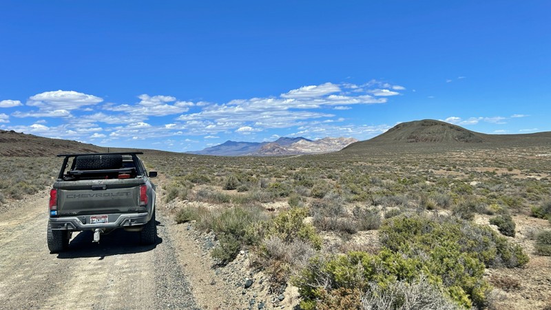
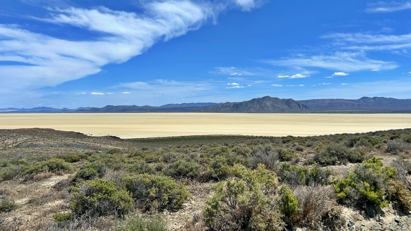
Our group used Soldier Meadows Road as the gateway to our basecamp and as the main route for exploring the incredible Black Rock Desert and High Rock Canyon region. Be prepared for plenty of washboard...
Rose Meirs
Official Crew
Rated 5/5
Open
Visited: 05/18/2026
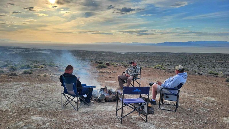
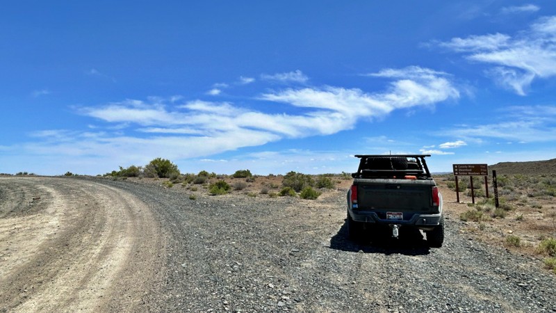
I chose this trail as our base camp and staging area for a Memorial Day weekend adventure exploring the Black Rock Desert and High Rock Canyon. It turned out to be the perfect spot for our group, acco...
Rose Meirs
Official Crew
Rated 5/5
Open
Visited: 05/18/2026
Glad to see this trail open again! Ran in about 3 hours and thoroughly enjoyed it.
Trail will be closed again September 2026 for further repair, so get out there while it's open!

Danny Britton
Most Popular

Updated: 01/14/2024
Gold Strike Pass
Boulder City, Nevada
A short drive from the Las Vegas strip, Gold Strike Pass offers a unique view of the Hoover Dam and Lake Mead region. Access to the trailhead is super convenient. It's an easy scenic alternative to the highway that you can drive to connect with other trails for an extended overland route. You'll immediately climb up narrow ledges with switchbacks high above the lake and highway traffic. The route travels along the northern edge of the Black Canyon Wilderness, a rugged desert landscape running along the Colorado River.

Updated: 07/10/2024
Weiser Valley
Moapa Valley, Nevada
Weiser Valley, located within the Logandale OHV area, is an excellent and easy way to catch a glimpse of the unique landscape that this region of Nevada is known for. The trail travels through a picturesque canyon with unique and colorful rock formations, including a natural arch high up along a rocky ridgeline. Weiser Valley can be used to access Logandale OHV Trails such as The Bowl, Matterhorn, and Hawkins Trails, as well as the remnants of the Silver Queen Gypsum mine. A large group camping area at the trailhead makes for an ideal base camp while you explore the area for days. Connecting this trail with others makes for a long and scenic overland route.

Updated: 11/27/2023
Wooden Pole Powerline Road
Las Vegas, Nevada
Wooden Pole Powerline Road is a fast and fun trail to visit while escaping the Vegas heat and local traffic. Located near Mount Charleston and the Spring Mountain Recreation areas, the trail allows for great views of the surrounding mountains, valleys, the thicker and greener vegetation, and even a distant view of the Las Vegas strip. This is an excellent trail for those who want an enjoyable drive with mild challenges and fantastic views.

Updated: 08/25/2026
Logan House Loop
Glenbrook, Nevada
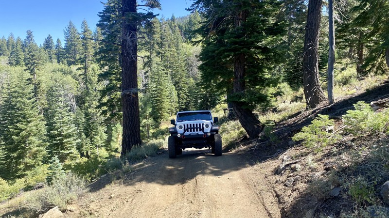
Logan House Loop is on a historic section of land near Lake Tahoe. Purchased in 1863 by Robert and Mary Logan, just before Nevada became the 36th state, the Logans opened the Logan House hotel on the lakeshore below this trail. In Mark Twain's San Francisco Letters of 1865, he describes the hotel as "new, handsomely furnished, and commodious; it stands within fifty feet of the water's edge, and commands a view of all the grand scenery there about; its table is furnished with the best the market affords, and behold they eat trout there every day."
Unfortunately for the Logans, the property fell victim to the tax burden. It was sold in 1866 to Henry M. Yerington, a timber baron and future Virginia and Truckee Railroad superintendent. The land was logged, and the house was left to decay.
The loop trail is accessible via Genoa Peak Road. It consists of rough dirt, loose gravel, rocks, and occasional asphalt. 4WD is unnecessary, but high clearance helps avoid numerous exposed rocks. It's an easy ride for all skill levels and caters to those who enjoy scenic drives through dense vegetation. There are several creeks along the way, but none that require crossing. There is no camping on this trail.
Updated: 10/15/2024
McCullough Pass
Jean, Nevada
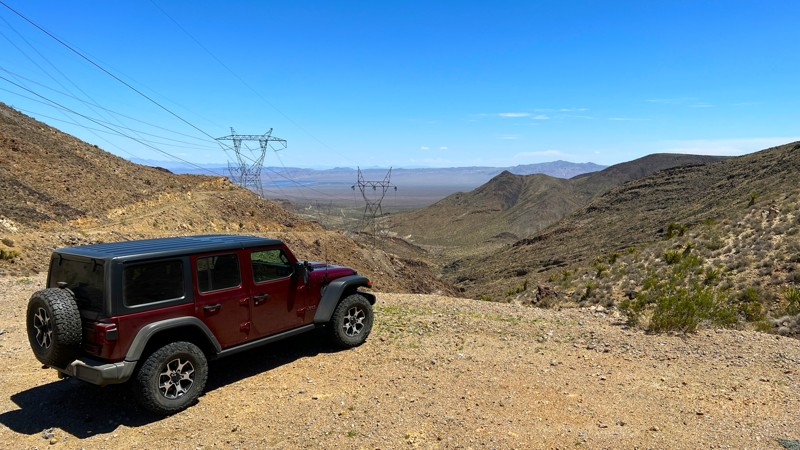
McCullough Pass Trail provides access from the Jean, NV dry lakebed area on the west to Highway US95 on the east. The section that travels over the saddle and back down is very rocky but provides sweeping views of the Bird Spring Range to the west and the Eldorado Valley to the east.
This is a powerline trail; many offshoots run to the individual towers. Downloading the GPX track will keep you on the correct path. Most of this trail is on BLM land. There were not any existing camping spots along the route. At about the 6-mile mark, you will cross into the Boulder City Conservation Easement. A sign on the road marks this. Past this point, no camping is permitted. The remaining section of the trail is rocky and has washboards and moguls that will bounce you around your vehicle. Take it slow, and next thing you know, you will be on US95.
Updated: 06/05/2022
Secret Pass - Nye County
Beatty, Nevada
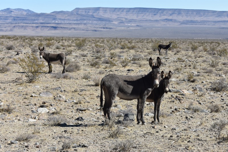
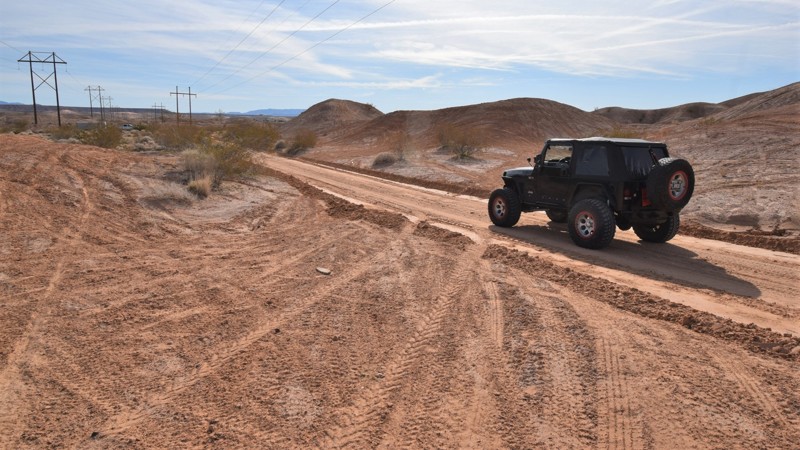
The Secret Pass 4x4 trail is an easy way to explore a seldom visited area of Nevada, and one of the best places we know of to see wild burros. 4 wheel drive is usually not required, and you will see unusual geologic formations, active and abandoned mining operations, unspoiled desert scenery, and expansive views along the way that will ensure you made the right choice taking this remote Nevada offroad trail.
Updated: 06/05/2022
Bowman Reservoir
Moapa Valley, Nevada
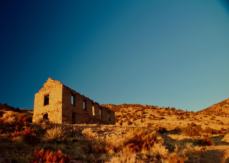
Bowman Reservoir is an ohv area located just outside the small town of Moapa Valley, NV. Along the route you'll experience wonderful views of the towering Mormon Mesa to the north. The trail can be used to access primitive camping near the Bowman Reservoir and linking with the popular Mormon Mesa trail. The region along the trail is an ohv riding area with large dirt dunes that are ideal for dirt bikes and atv's. The trail is an easy powerline service road that all stock high clearance 4x4's can easily complete. This short trail is part of a long overland route that allows users to travel on dirt from Las Vegas to St. George, Utah.
Updated: 03/18/2024
Helene and Delamar Ghost Towns
Caliente, Nevada
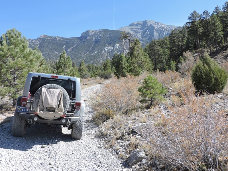
The ghost towns of Delamar and Helene are located in Delamar Valley between the Delamar Mountains and the South Pahroc Range. This area also borders the South Pahroc Range Wilderness Area to the west and the Delamar Mountain Wilderness Area to the south.
In 1889 two local ranchers, John Ferguson and Joseph Sharp, discovered gold in the high desert south of Caliente, Nevada. The mining camps of Ferguson and Helene soon sprung up as miners flocked in. In 1892, the Ferguson Mining District was formed. Reports came into Pioche that assays of $75 to $1000 a ton of ore was being mined resulting in the first rush of miners stampeding to the district.
In April of 1894, Capt. Joseph Delamar bought most of the important mines in the area and renamed the Ferguson camp as Delamar. Also in 1894 a post office and newspaper, the Delamar Lode, was opened. The town quickly grew to over 1500 residents and boasted an opera house and hospital. By the turn of the century the town had over 3000 residents.
The gold was embedded in quartzite, which when milled, created a fine dust. This dust caused many miners and residents to develop silicosis which earned the town the nickname "Widow Maker".
Up until 1909 the mines were the largest producers in the state, but soon after all operations closed and the residents left. There was a short revival of operations in 1929 but by 1934 the town was once again abandoned. All in all, the mines around Delamar produced over $25,000,000 dollars in gold.
The area around Delamar is a remote region with countless trails rated from easy to difficult. Dozens of old mines and abandoned camps can be found. Wildlife is abundant and sighting wild horses is the norm. Delamar would make an excellent base camp to explore the rich history and natural beauty of the area.
Please tread lightly so future generations can enjoy this reminder of of our past. The state of Delamar has declined rapidly in just the last few decades due to vandals literally tearing down the walls of buildings to find hidden treasure.
Updated: 01/29/2024
Wallace Canyon Road
Pahrump, Nevada
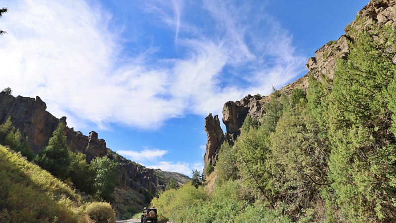
The Spring Mountains National Recreation Area (SMNRA) is part of the Humboldt-Toiyabe National Forest. Better known to locals as Mount Charleston, it is located west of Las Vegas and encompasses more than 316,000 acres of remarkable beauty and surprising diversity. The Wallace Canyon Road backcountry 4x4 trail on the west side of the Spring Mountains near Pahrump offers spectacular views from Charleston Peak to Telescope Peak in Death Valley National Park some 70 miles to the west. This route starts in the high desert and ends in the coniferous forest climate zone. You will likely see wild horses, burros, and deer. Winter may find icy and deep snow conditions in the upper areas of Wallace Canyon.
Updated: 04/17/2026
Charleston-Jarbidge
Murphy Hot Springs, Nevada
The journey to the remote town of Jarbidge begins either in Murphy Hot Springs, Idaho, via Three Creek Road or from Deeth, Nevada, along the Charleston-Deeth Road, which seamlessly transitions into Charleston Jarbidge Road as it winds through the rugged passes of the Jarbidge Mountains and Wilderness range. The town’s name, originating from the Shoshone language, translates to “monster that lurks in the canyon” or “weird beastly creature,” a tribute to the legend of Shoshone warriors who are said to have trapped this mysterious being in what is now Jarbidge Canyon.
The discovery of gold near Jarbidge in 1909 ignited one of the last great gold rushes of the Old West, swiftly transforming the town into a thriving hub with a population nearing 2,000 by 1911. Jarbidge also earned notoriety as the site of the last stagecoach robbery in 1916. However, the town’s prosperity waned after World War I, when much of its mining infrastructure was dismantled for the war effort. Mining operations ceased entirely in 1932 but were revived in 2013 by re-issuing gold removal permits.
Jarbidge is one of Nevada’s most remote towns, renowned for its extreme isolation, accessible only via the Charleston-Jarbidge Road. This route can be treacherous, and it is often closed from October to July due to heavy snowfall near Bear Creek Pass. Due to the steep grades and occasional washouts, all-wheel drive or four-wheel drive vehicles are recommended. Nestled in a canyon and surrounded by towering mountains, Jarbidge is not only the most isolated town in Nevada but also one of its most visually stunning, with air quality among the purest in the nation. This hidden gem offers a unique blend of history and natural beauty, making it the perfect gateway to exploring the untouched wilderness of northeastern Nevada.
The Jarbidge Wilderness Area, close to the Idaho border, unfolds as a mesmerizing landscape of forested peaks, deep river-carved gorges, and expansive basins. Visitors might come across arbor glyphs—carvings left by Basque sheepherders in the aspen groves that dot the wilderness. Despite its rugged terrain, the area remains accessible to adventurers of all levels. The historic town of Jarbidge serves as an ideal base camp, and the Charleston-Jarbidge Road offers eight free USFS-managed campgrounds along the rushing Jarbidge River and numerous opportunities for dispersed camping. The wilderness provides unparalleled fishing, hunting, and exploration opportunities for those seeking a deeper connection with nature.
Updated: 04/18/2023
Badger Valley Loop Nevada
Alamo, Nevada
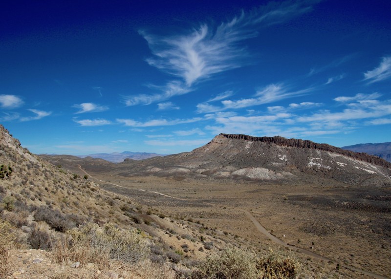
The Badger Valley is a high desert valley located between Badger Mountain to the west, and the East Pahroc Mountain Range to the east.
The many beautiful panoramic vistas of valleys, deserts, and mountains is astounding. There are also ample opportunities to view wildlife, including deer, bighorn sheep, and wild horses. Due to the abundance of wildlife, it is a popular area for hunters. The Badger Valley Loop is a short and easy trail for one interested in nature photography.
The north part of the offroad trail is bordered on the northwest by a section of the Basin & Range National Monument called The Shooting Gallery. This area is an excellent place to discover ancient Native American petroglyphs, some of which are 3000 years old.
Between Alamo and Rachel NV is the site of the Devonian Alamo Bolide Impact when, 367 million years ago, one or more meteors slammed into the earth. Unfortunately, the exact location of the impact zone has been obscured by time. For those interested in geology, there are still many signs of this event still visible such as impact breccia, distorted limestones, and high levels of iridium.
The area around Badger Valley is bordered on the south by the Desert National Wildlife Refuge and on the south and east by the Pahranagat National Wildlife Refuge. North is the Basin & Range National Monument. West of Badger Mountain is the Nellis Air Force Testing range where nuclear testing was done in the 1950s until the surface ban in the early 1960s.
Updated: 06/05/2022
Bull Valley Road
Beaver Dam, Nevada
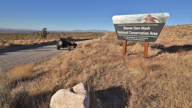
Bull Valley Road can be your gateway to all sorts of desert adventures. This easy crushed gravel road travels from the southwestern corner of Utah, far out into the Nevada desert. The route easily allows access to rock climbing, hiking, and remote primitive camping. You travel through the 63,000 acre Beaver Dam Wash National Conservation Area where you'll drive through a harsh desert landscape covered in Joshua trees, creosote bush, white bursage, and other desert shrubs that provide a habitat for desert bighorn sheep and the Mojave Desert tortoise. The route is long and connects with other truly remote trails that will take you far away from any signs of civilization.
Since the introduction of cattle grazing, non-native grasses have spread across the area, forever altering the landscape. Wildfires are rare occurrences in the Mojave Desert region, so these changes led to fires in 1993, 2005, and 2006. Some of the large Joshua tree forests were lost, however, this route travels through a section that has been able to survive. The trees create a densely packed forest; most of them are massive, growing as tall as 49 feet. They can live for hundreds of years; some specimens survive a thousand years
Updated: 06/05/2022
Rhyolite Railroad Loop & Ghost Town
Beatty, Nevada
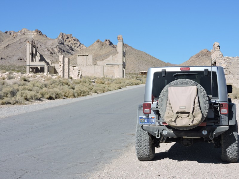
This easy 4x4 route follows a portion of the Bullfrog Goldfield Railroad's standard gauge spur route into Rhyolite, Nevada, the most photographed ghost town in the west. At its peak, nearly 5000 people lived here, one building was 3 stories tall and cost $90,000 to build. A stock exchange and Board of Trade were formed. The red light district drew women from as far away as San Francisco. There were hotels, stores, a school for 250 children, an ice plant, two electric plants, foundries and machine shops and even a miner’s union hospital.
You'll cross over grade fills and pass through grade cuts. You'll pass the historic Montgomery-Shoshone Mine site, the old Rhyolite train station that is slowly being restored, and Tom Kelly's bottle house, made of over 50,000 bottles. The other remaining buildings are all concrete hulks as wood is scarce in Nevada, and was reclaimed to help build new facilities somewhere else. Be sure to visit the Goldwell Open Air Museum at Waypoint 7 of the trail guide. The free museum displays old artifacts and modern art, and the last shot in the video was taken there.

Updated: 05/27/2023
Little Finland
Mesquite, Nevada
Little Finland is located within the very remote Gold Butte National Monument in southern Nevada. The region is known for its unique rock formations formed by millions of years of wind and rain. Little Finland, also known as Devil's Fire or Hobgoblin's Playground, is a specific area where the Aztec sandstone has been formed into arches, thin fins, and other jagged formations. The area became popular about 25 years ago, but because of how remote the area is, you're likely to be the only visitors. The site also has an abundance of rock art and petroglyphs. These delicate pieces of ancient artwork are on the ground, intermixed with the countless rock spires. To help preserve these delicate rocks and artwork, be cautious when walking through the area. When you park your vehicle, you must walk up to the elevated area where you'll become immersed within this special place.
Updated: 10/31/2024
Crawdad Cove Road
Las Vegas, Nevada
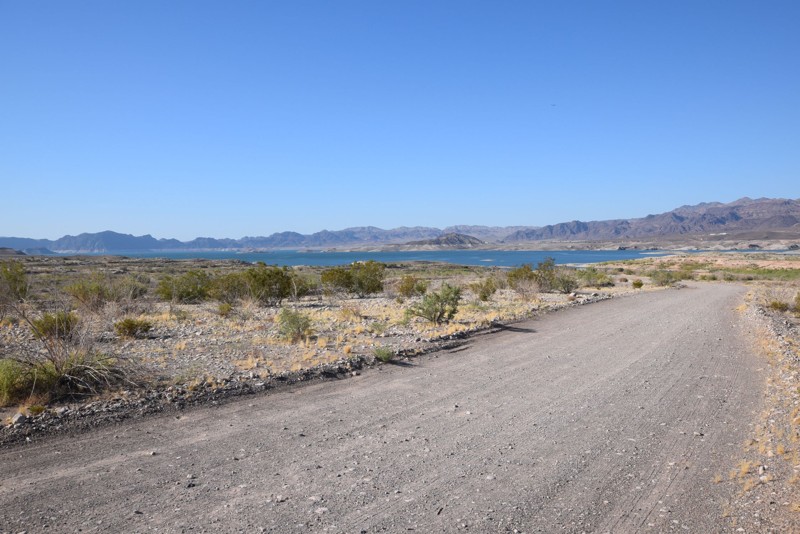
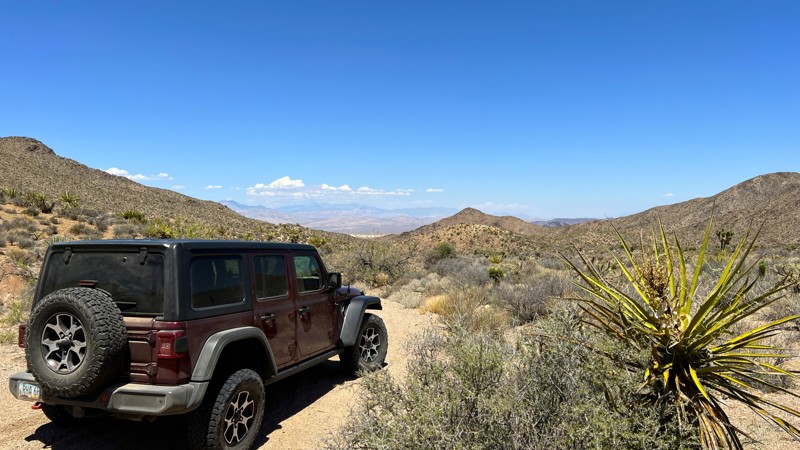
Crawdad Cove Road is an off-road trail located east of Las Vegas in the Lake Mead National Recreation Area(LMNRA). The LMNRA, operated by the National Park Service is located in both Nevada and Arizona. It follows the Colorado River corridor. The LMNRA includes Lake Mead and Lake Mohave, both reservoirs created by Hoover and Davis Dams plus their surrounding areas. Lake Mead was formed in 1935, less than a year before Hoover Dam construction was finished. In 1964, Congress approved the expanded area as the first National Recreation Area. This off-road trail makes for a great day trip visit Lake Mead for swimming, boating, kayaking, rafting or other water fun. Large areas available for camping, both tent and trailer. There are multiple side washes and small hills for hiking and exploring. Just be sure to bring your trunks, food, drinks and some shade. The trail is an easy drive with a scenic desert landscape. There are also beautiful views of Lake Mead as you approach the end of the trail. Plenty of wildlife was observed to include rabbits, road runners and multiple types of lizards.
Updated: 10/15/2024
Knight Ranch Road
Jean, Nevada
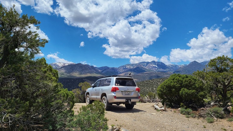
This trail starts where the Knight Ranch Road pavement ends just southeast of the Jean Dry Lakebed. It takes you from the desert floor up into the South McCullough Wilderness Area, where you see a large field of joshua trees. Just before the wilderness area begins, there is a large area for camping that can accommodate a group. A rock fire ring and picnic table are ready for your use. The trail ends where the BLM has erected a barrier fence. From that point, you can continue on foot for the full wilderness experience.
Updated: 10/03/2025
Big Wash Trail
Garrison, Nevada
This BLM trail begins in Utah and ends in Nevada at the intersection of the much easier route to Lexington Arch in the Great Basin National Park. This seldom-used trail does not appear on most maps or GPS navigation systems. Google Maps does show it as Route 950, forking off Route 948 off Highway 21.
The first portion of this two-track is rough, lightly traveled, and follows the rim of Hidden Canyon. Be careful and slow. The many twists and turns are close to the rim edge. Once past the canyon rim, the climb begins, and though not steep, it is steady, very rocky, and at times off-camber. High clearance 4x4 is definitely needed here, but the views are worth the effort. The trail is remote, surrounded by Great Basin Park to the west and canyons below to the south and east. Once at the peak, the drop is rocky and steep. First gear and 4x4 low are your friends on the descent.
Camping opportunities on the route are present but minimal with just a couple of pull-offs with fire rings. The Lexington Arch hiking trailhead is close by, as are a few other fun and scenic trails.
Updated: 09/14/2026
Telephone Cove Road
Laughlin, Nevada
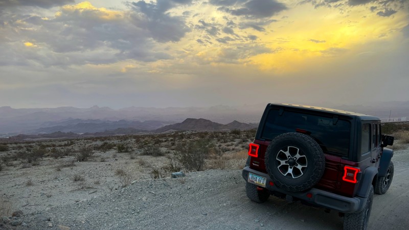
This trail provides access to the Telephone Cove Beach area from NV highway 163. It is a wide dirt road that easily will accommodate two-way traffic. One section contains some deep holes. Even though this one section of road is a bit challenging, I have watched regular cars, vans, and vehicles with trailers maneuver through. Camping by the lake is permitted following the guidelines posted.
Updated: 05/20/2026
Mack's Canyon
Lee Canyon Summer Home Area, Nevada
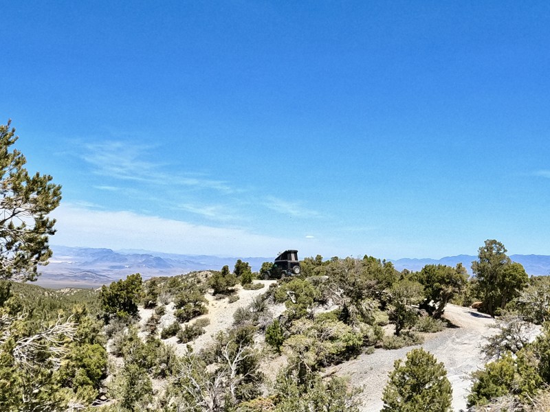
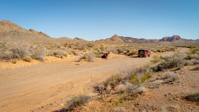
Mack's Canyon is an out and back stock friendly trail that is 4 miles one way, ranging in elevation from 7,391 to 8,230 feet. Dispersed camping is available along the entire trail, with two larger group campsites at the end. The first .5 mile is a simple gravel road with access to large campsites accessible by any vehicle, even large RVs. Beyond the first .5 mile, the road continues to be maintained but becomes steep, winding with sharp drop-offs and occasional rutting until about mile 3 of the trail. This section of the road provides spectacular views and cliff side campsites in the pinyon pines and junipers. This is the toughest part of the trail. Between miles 3 and 4, you will get into a larger pine forest within the canyon. The lower group camp is at 3.5 miles and looks to accommodate three to four mid-size vehicles. The upper group camp is 3.7 miles and may have space for 6-8 mid-size vehicles. Smaller campsites are also available at the end for those not in a group. I would be aware of heavy rains in this area as it is a slot canyon and may flood.
Updated: 10/29/2024
Callville Wash North
Las Vegas, Nevada
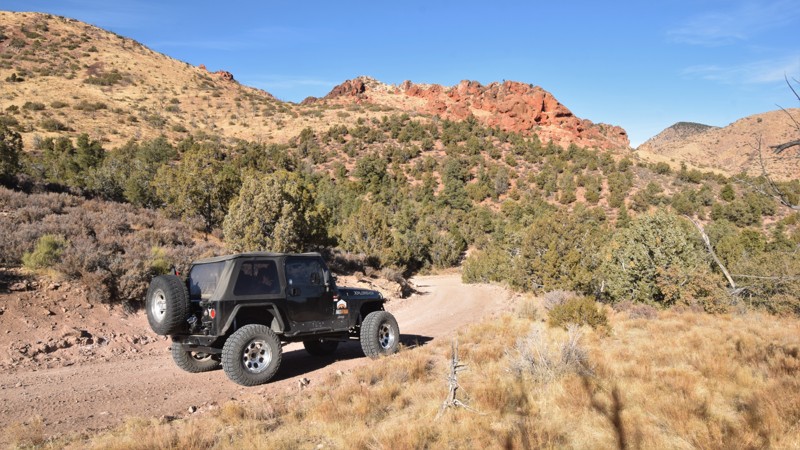
Callville Wash North is a rugged backcountry route within the Lake Mead National Recreation Area that traverses a scenic, geologically rich landscape, including layered sedimentary rocks, volcanic ash deposits, and cliffs interwoven with gypsum veins. The road offers views of notable formations like the Bowl of Fire, known for its vivid red, orange, and white rock formations. This trail provides hikers with easy access to the Bowl of Fire hiking trail, which travels into the Muddy Mountains Wilderness Area, providing access to impressive bright red rock formations and slots like Eagle Rock, Heart Bowl, Leaning Towers, and the namesake Bowls of Fire.
Updated: 06/05/2022
Bunker Pass
Caliente, Nevada
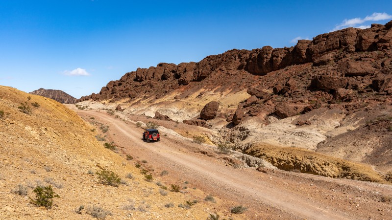
Bunker Pass, located in eastern Nevada, is a high desert trail that traverses the edge of the Clover Mountain range. The route is a well-groomed crushed gravel road, making for an ideal overland route for larger, less capable offroad vehicles. The trail connects with several other long trails, bridging the gap between western Utah and eastern Nevada. You'll wind your way through narrow switchbacks and over rolling hills covered with old-growth stands of ponderosa pine and aspen, both of which are uncommon in this part of Nevada. Be sure to keep your eyes open for mule deer, bighorn sheep, mountain lion, bobcat, and badger. Looking to the sky or atop the tall trees, you might spot an endangered peregrine falcon, prairie falcon, or even the elusive golden eagle. Millions of years ago, this area was a major volcanic center, massive lava flows shaped this dramatic landscape. After millions of years of corrosion, the mountains have colorful and dramatic rock formations that contrast with the thick vegetation. This unique area within Nevada is a great secluded and scenic destination for a weekend escape.
Updated: 08/13/2026
Lava Butte Road
Henderson, Nevada
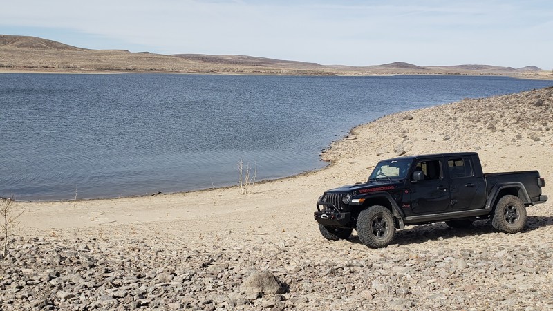
Located just east of Vegas, in the Sunrise Mountain Special Recreation Management Area, Lava Butte is an 8-mile, point-to-point trail that slowly weaves through the scenic mountain and brightly colored canyon landscape formed by magma 13 million years ago. Despite the name, Lava Butte was not formed from a lava eruption but rather from a blister-like magma chamber that uplifted and became exposed due to erosion. The dark appearance of the butte is from desert varnish, a natural dark patina that forms from weathering and concentration of iron and manganese oxides on the rock's surface. The road surface is generally hard-packed clay with short sections of small rocks ranging in size from golf balls to baseballs. Along the drive, you will encounter several gradual grades that are prone to washouts during and after heavy rain events. Although a high clearance vehicle is recommended, 2WD is sufficient during dry conditions. This trail can be run in either direction and can be run by itself or combined with one of the other nearby roads to create a full loop.
Camping is prohibited along this trail or any road within the Sunrise Mountain Special Recreation Management Area. The closest camping resides east, within Lake Mead National Recreation Area. Large trailheads on each end of the trail provide great areas for trailer parking or airing up/down.
Updated: 10/15/2024
Six Mile Beach Trail
Silver Springs, Nevada
Twelve thousand years ago, Lahaton Lake covered a large portion of the then-wet Nevada basin. In 1905 Lahontan Reservoir was created and named after that huge ancient lake. With 69 miles of willows and cottonwoods scattered along its shoreline, the park is one of the most popular places in Nevada to boat, fish, water ski, and horseback ride. The Lake is open to the public year-round. Lahontan is also a nesting site for bald eagles. Wild horses, bobcats, foxes, and deer share the park with a variety of birds, including migratory waterfowl, pelicans, herons, egrets, and hawks.
The west shore at Lahontan State Recreation Area offers great camping. Open year-round with a nightly fee of $20.00 per vehicle, primitive beach camping is permitted in all areas except for day use and boat ramp areas. A camping limit of 14 days in a 30-day period is enforced. Leashed pets are welcome.
The trail surface varies with smooth compacted dirt, mud, and sand. The trail is generally level with gradual changes in grade. Stock 4WD SUVs will work during dry weather. Drivers should be careful of the deep arroyo sand. Use caution during wet weather since the sandy arroyos are prone to flash flooding. When wet, portions of the trail are almost impassible. The trail crosses a mixture of public and private land. Please be respectful of the sections of private property.
Updated: 10/15/2024
Fisherman's Cove
Bunkerville, Nevada
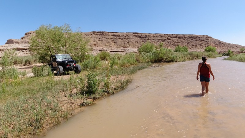
Fisherman's Cove is a bumpy, rocky, and sandy 10.5-mile out-and-back trail leading to the banks of the Virgin River. The trail starts as a gravel rock service road before dropping into a much rougher wash. 4x4 may not be required, but it might become necessary if you high center or lose traction in the soft sand. You must have durable offroad tires, no street tires on this route. The trail winds through the wash before opening at the sandy bank of the river. There is one large open area for 4-5 vehicles with tents. There are a couple of other smaller areas for primitive camping. The water is very shallow and wonderful to wade through.

Upgrade your Membership
Unlock all of the details on every Trail Guide and Scout Route.
Start a 7-day Free TrialBrowse Trails in Nevada by City
Browse every Nevada city with offroad trail guides.
Community
Partners

