













By clicking "ACCEPT", you agree to be the terms and conditions of each policy linked to above. You also agree to the storing of cookies on your device to facilitate the operation and functionality of our site, enhance and customize your user experience, and to analyze how our site is used.
Colorado Off-Road Trails
602
Total Trail Guides 575

6450
Detailed Waypoints 568
Try a Free 7-Day Trial and unlock it all
Start a Free Trial Most Recent Trail Reviews
Rated 5/5
Open
Visited: 09/23/2026
We frequent this route probably once a week from GoG to Woodland Park. Be very careful on the blind curves - no shortage of knuckleheads driving way too fast (a biker was struck fatally in June). Us...

TC
Tim Crane
Rated 5/5
Open
Visited: 09/22/2026
Scenic road connecting to other alpine loop trails. it's not very technical or hard. but if you don't prefer shelf roads, maybe that can be considered hard. Red Mountain peaks are awesome. the scenery...


Mustafa ParDane
Official Crew
Rated 5/5
Open
Visited: 09/22/2026
Besides the shelf roads, there is not other bug obstacle or anything technical. As always, it has really good views :)


Mustafa ParDane
Official Crew
Rated 5/5
Open
Visited: 09/22/2026
Views are awesome as always with any alpine loop trails. There is a very short hike at the summit that takes you to even higher point with better views. Lake Como looks very good from there.


Mustafa ParDane
Official Crew
Rated 5/5
Open
Visited: 09/22/2026
Started from Lake City as most people recommend running the alpine loop clockwise. I think that was a wise choice because I didn't have a lot of ongoing traffic. The views are awesome and they start r...


Mustafa ParDane
Official Crew
Rated 5/5
Open
Visited: 09/22/2026
Tough trail, lots of technical spots throughout. Dont attempt solo or with any kind of stock truck!


Greg Dermann
Rated 4/5
Open
Visited: 09/22/2026
Just a dirt road with lots of potholes. Nothing technical. Drove this up to the 401 Trailhead to bike. Pretty busy with folks camping and leaf peeping. Overall it is in a pretty area and theres good c...



Davis McPherson
Rated 4/5
Open
Visited: 09/22/2026
Ok I have not run that trail in the last 4 years. I don't recall it looking like the photos. Did it recently get this way (rock garden) and get the difficult rating?
C
coyoteslocos
No Rating
Temporary Closure
Visited: 09/21/2026
Sign at the bottom of the hill says road construction but when you get to the turn off it is blocked.
PD
Paul Dixon
Rated 5/5
Open
Visited: 09/21/2026
Ran the trail from Westcliff side over the pass and into Great Sand Dunes NP. Had great weather. Don't think it had rained much in the days prior. So, the trail was dry. Think the difficulty ratin...



Stephen
Rated 5/5
Open
Visited: 09/21/2026
Id put it at a 3 some larger rocks mud and shelf roads: beautiful trail. Highly recommend.


Brian mckie
No Rating
Open
Visited: 09/21/2026
There is an area towards the end of this trail not long before it opens into the meadow that is very shaded and has become a mud hole. Well, somebody with a vehicle not capable enough to get through i...

Curt Greeley
Rated 5/5
Open
Visited: 09/20/2026
Ran this trail for the first time on 9/20/26. Absolutely stunning views and the leaves were almost at peak. This might be my new favorite trail to run during this time of year. Not difficult, but long...



Jack Mackie
Rated 4/5
Open
Visited: 09/20/2026
I wanted to run this trail on my way out from the gulches area but when I got down to the first stream crossing it had a few large logs placed in it. Im not sure if this is for traction or what, but I...
Jack Mackie
Rated 5/5
Open
Visited: 09/20/2026
First time out here and I ran this alone on 9/20/26 coming back from Old Stage 220. Took Sportsman Rd to get to 220 so I decided to take this to trail to get back to Cedar Mtn Rd. This is more fun tha...
Jack Mackie
Rated 5/5
Open
Visited: 09/20/2026
This is one of my favorite trails. I like to start at St. Mary's and run it in reverse lf this trail guide. I prefer to take most of the steep sections downhill, but if you want a fun challenge, then ...


Tim
Rated 5/5
Open
Visited: 09/20/2026
Ran this on 9-20-26 up to the Phoenix rocks. WK2 3" lift on 33's. Never been in this area before but I have read many of the reviews on here about the gulch trails. I was alone and the phoenix rocks w...

Jack Mackie
SH
Sharon Hansen
Rated 5/5
Open
Visited: 09/20/2026
Maiden voyage for my stock suspension 1994 Wrangler. The trail was surprisingly rocky in the beginning. Beautiful views and not too much traffic.
SH
Sharon Hansen
Rated 2/5
Partially Open
Visited: 09/20/2026
While there were some aspen views, this is not the best place to find them. Most of the views of the surrounding area are obscured by pine trees that are close to the road. Many of the overlooks are o...
MG
Mike Gerdts
Rated 4/5
Open
Visited: 09/20/2026
We enjoyed the trail. Beautiful scenery. Definately narrow in some areas. The terrain itself wasn't so difficult. Clearence is needed for some of the rocks in the trail.


Lisa Johnson
Rated 4/5
Open
Visited: 09/19/2026
Ran it in a 157"WB F150 on 33's, and would probably run it in a passenger car. Great views, easy climb and the switchbacks were totally navigable in a fullsize. Some of the roads on top are more app...
J
Justin
Rated 5/5
Open
Visited: 09/19/2026
The last descent at the end is kind of muddy so take it extra slow.



Joshua Scurran
Rated 5/5
Open
Visited: 09/19/2026
Ran east to west. The ascent at waypoint 14 has been cleaned up considerably - not sure if this was the work of the recovery crew we passed who were headed up Mt Baldy road, but it was much less rocky...

Jeff Dew
JG
Joseph G Botthof III
No Rating
Temporary Closure
Visited: 09/19/2026
Following up on Ryan's post, multiple incidents have occurred of vehicles sliding off the trail at washouts. CO4x4RNR was up yesterday recovering a vehicle, and we were told the trail will remain clo...

ERIC D BROWN
Rated 5/5
Open
Visited: 09/19/2026
Epic views at the top make this in and out road a must see on my list. Shelf roads with a few areas for passing. Switchbacks and 12"-18" boulders in only a few places to navigate. 4wd and good clearan...



Desi
Rated 5/5
Open
Visited: 09/19/2026
Expect closures Sept 21-24 for pipeline maintenance starting near the trestle. Perhaps related, there’s a rusty 4-6” pipe sticking out of a puddle near the trailhead at the top.
It’s been a bit rai...

MG
Mike Gerdts

Kirk Kneezle
Kirk Kneezle
Kirk Kneezle
WH
William Harkcom
Rated 5/5
Open
Visited: 09/18/2026
Great trail. Lots of fun, great views. Loved all the rock outcroppings.



Jessica H
Rated 5/5
Open
Visited: 09/18/2026
Short but fun. Right mix of technical and scenic. Ran this with Solitude Creek. Great views but that initial climb looked daunting but once you get into it wasn’t that bad.


Jessica H
No Rating
Temporary Closure
Visited: 09/18/2026
Forest Service has closed the trail due to washout damage. No ETA yet on fixes or reopening.


Ryan Boudreau
Official Crew
No Rating
Open
Visited: 09/18/2026
Only drove it to the Chinns Lake cutoff, but that part was in great condition. They've recently laid down new gravel on the lower portion in the neighborhood, it is super smooth.
S
Scott
No Rating
Open
Visited: 09/18/2026
Great condition. Only tough spot is some deep holes just before you get to the lake, otherwise it's easy. The mud holes are deeper than I remember, but it's been raining quite a bit. Lake is very, ...
S
Scott
No Rating
Open
Visited: 09/18/2026
We ran it downhill from the Miner's Gulch area. It's an easy descent thru the forest, a few rocks here and there, nothing major. Nice view of the aspens and rain clouds moving thru the area. Decent...
S
Scott
No Rating
Open
Visited: 09/18/2026
Mostly moderate, but a few spots are pretty rough with unavoidable and awkwardly placed boulders - stock vehicle are likely to hit their rocker panels. Good approach angles and rock sliders are your...
S
Scott
Rated 5/5
Open
Visited: 09/18/2026
Trail is in great condition, views from the top are magnificent.
S
Scott
Rated 4/5
Open
Visited: 09/18/2026
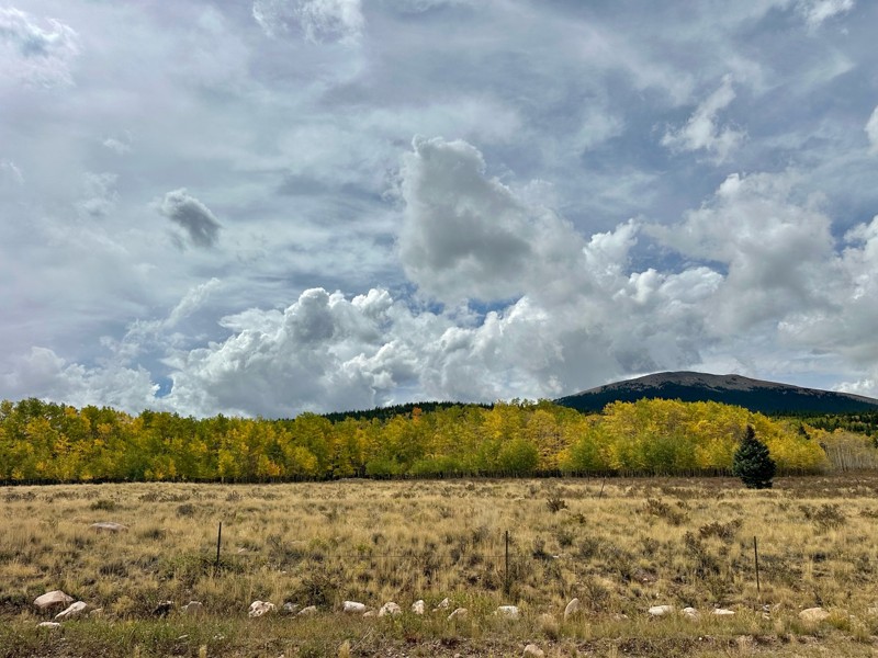
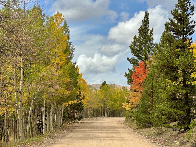
Went up for the aspens and I’d guess, for the most part, they’re maybe a few days past peak. Ran it in “reverse” starting from the east trailhead and there was still plenty of good color to see. Close...

Scott Bram
Rated 5/5
Open
Visited: 09/18/2026
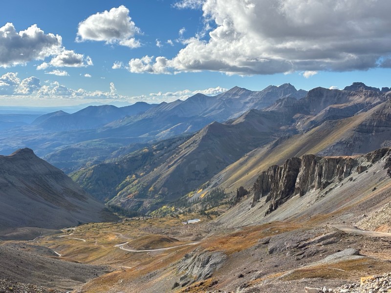
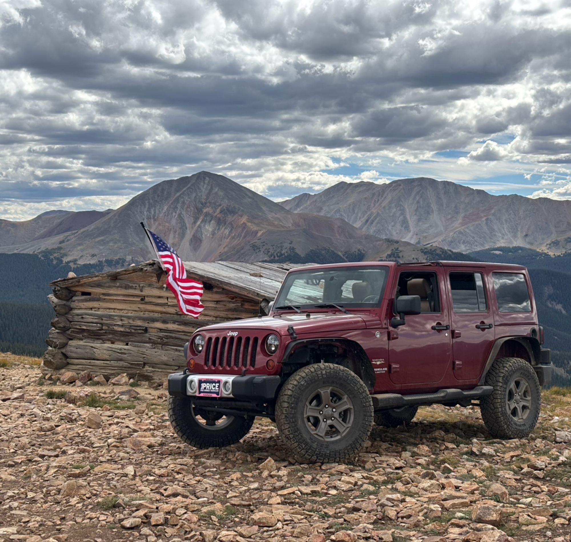
Ran the trail starting in Telluride on Friday the 18th. The trail is open the whole way through to Ouray. Very little dust thanks to all of the rain lately made our first time on Imogene very pleasant...
Matthew Stef
Rated 5/5
Open
Visited: 09/18/2026
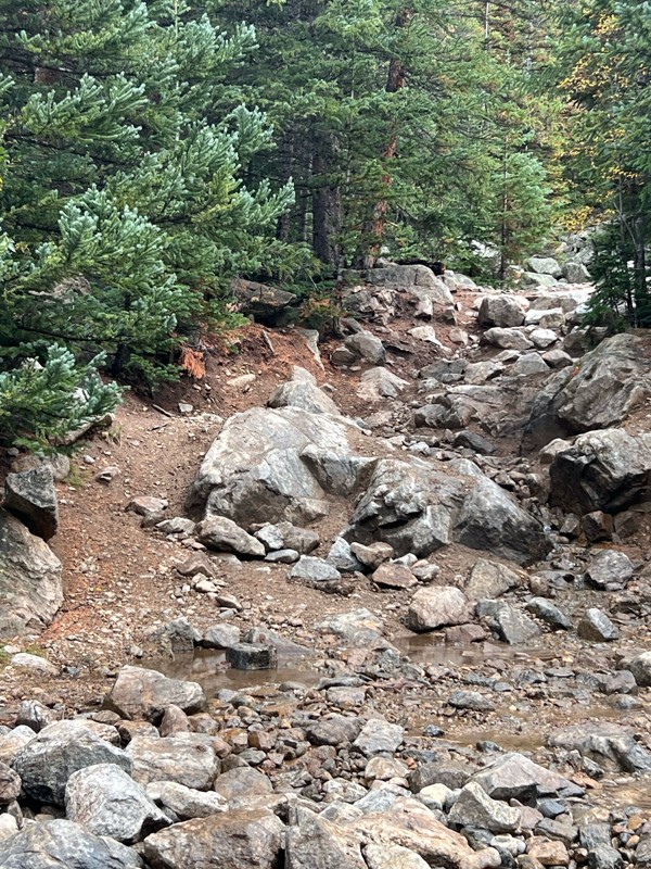
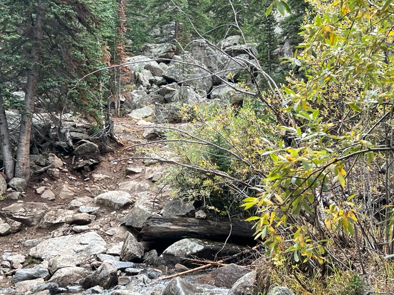
Fantastic views. Great time of the year to go - less likely to need to pass other vehicles on some steep ascents. The “gatekeeper” obstacle and narrow (no room to pass) sections are the major conside...
TK
Tarik Khatib
Rated 5/5
Open
Visited: 09/18/2026
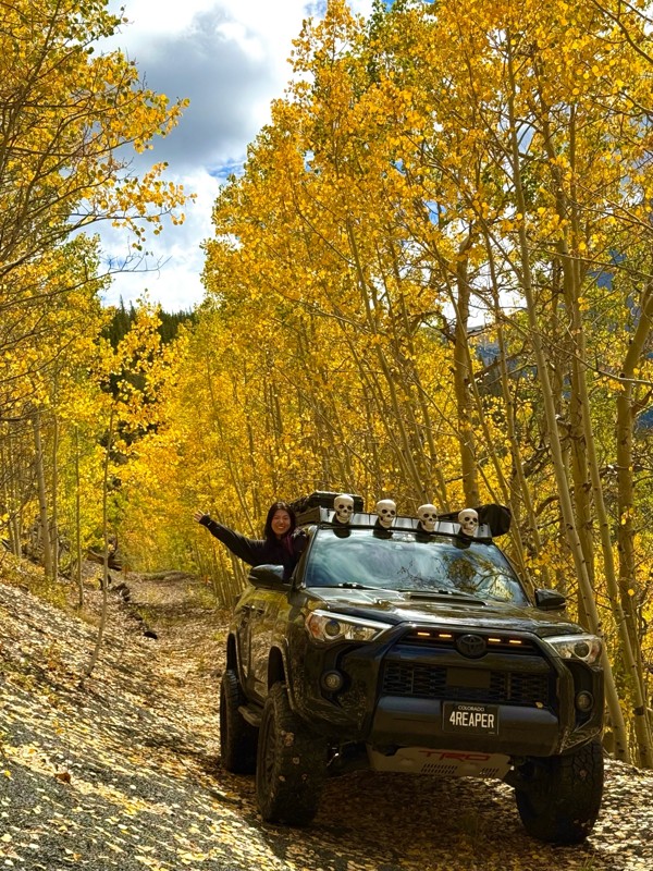
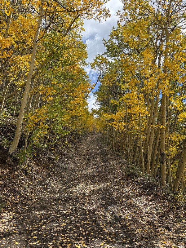
We honestly didn’t mean to take this road but ended up on this road on accident looking for a way to get from Georgia pass to Breck. The colors were amazing!! We came east to west so we were heading d...
V
Vince
Rated 5/5
Open
Visited: 09/18/2026
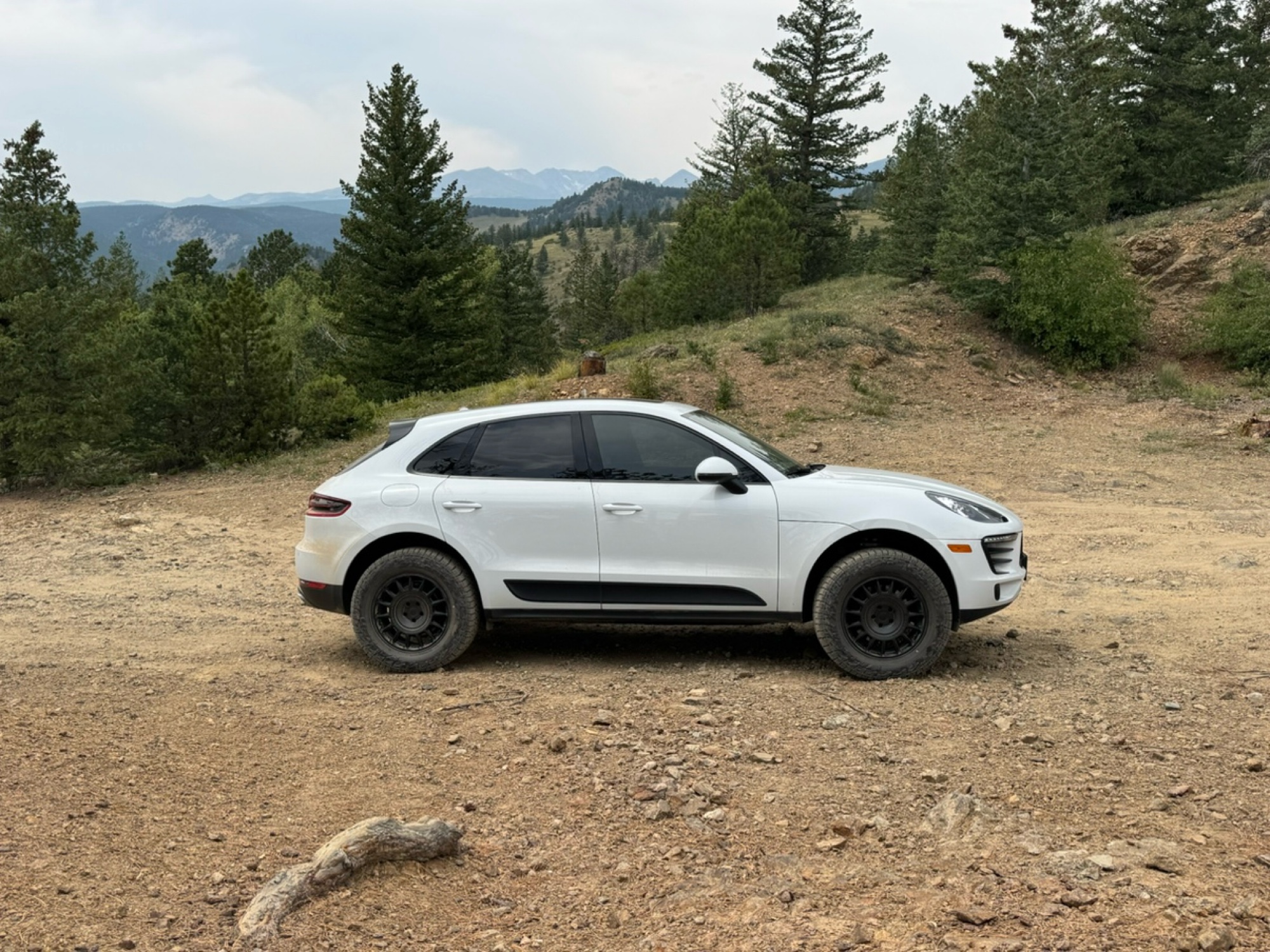
Beautiful trail. Fun whoops and a pretty rocky section. Would definitely recommend not taking the family sedan.
Wade Williams
Rated 5/5
Open
Visited: 09/18/2026
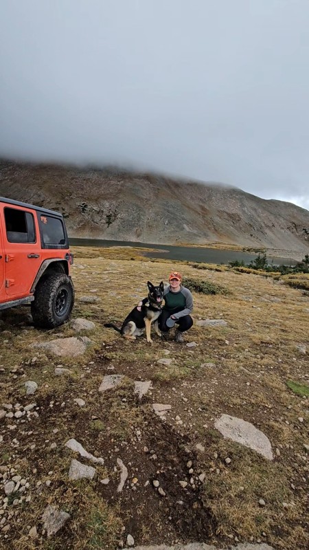
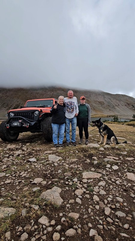
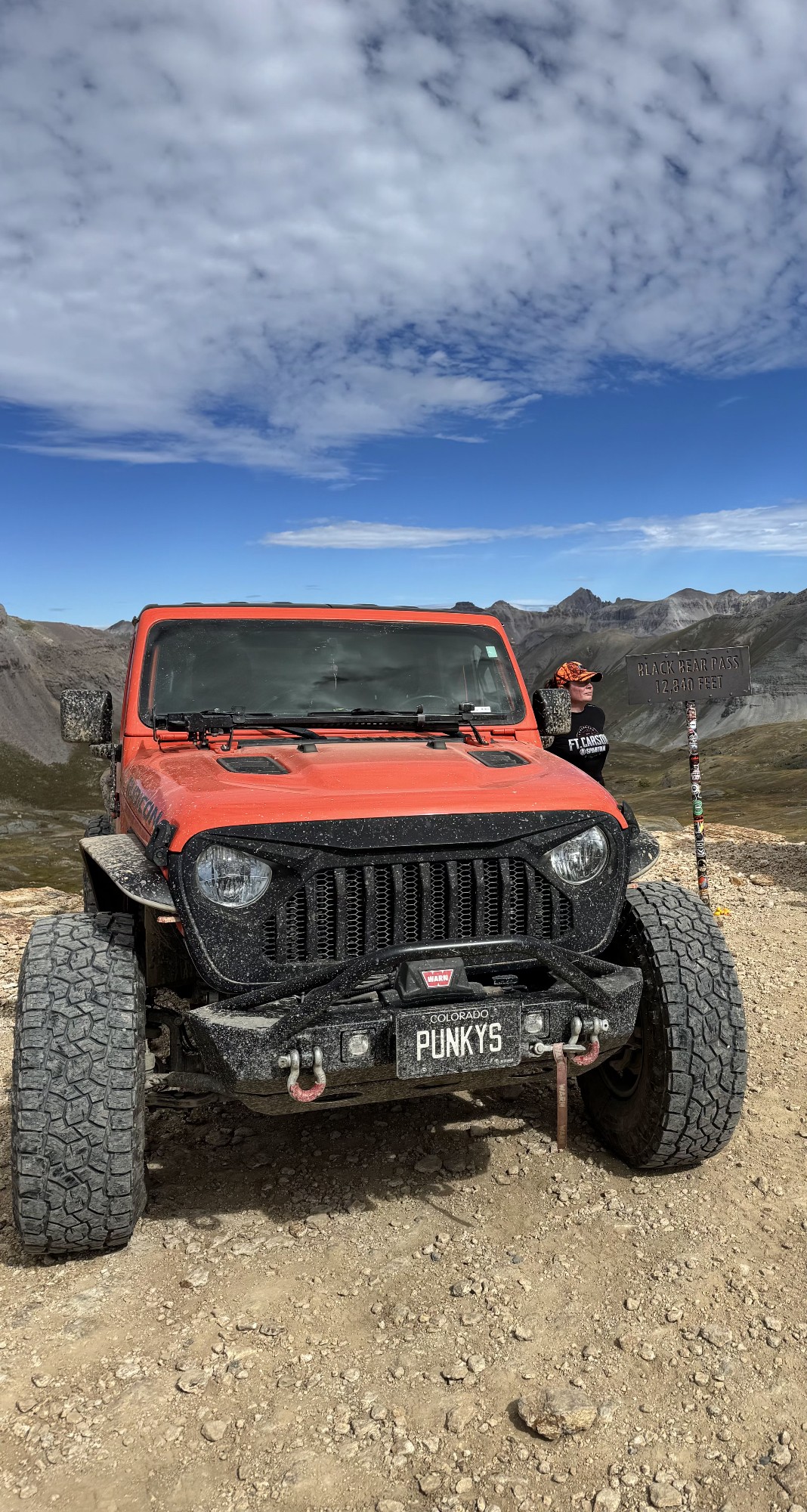
Super fun trail! Good mix of choosing some lines depending on clearance but nothing crazy or scary feeling. Moody views, but I prefer it that way.
Tamara Gold
No Rating
Open
Visited: 09/17/2026
Did this from East to West and it was a fine leaf peeping drive.
SB
Seth Burmeister
No Rating
Open
Visited: 09/17/2026
17 Jeep Renegade FWD, Stock size All Terrain tires 225/55R18
Scraped the bottom once on a rutted out area but simple tire placement would avoid that. After the Waterfall (waypoint 10) due to it rainin...
SB
Seth Burmeister
Most Popular
Updated: 10/15/2024
Little Muddy Creek
Parshall, Colorado
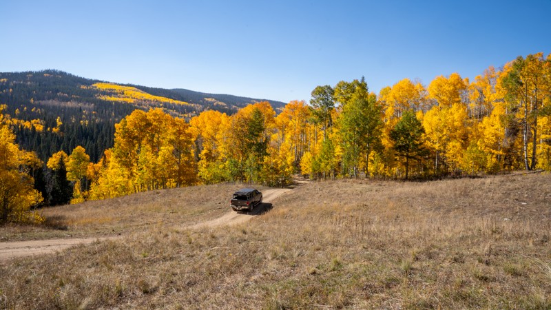
Little Muddy Creek is a true Jekyll and Hyde experience, offering two radically different personalities depending on the weather. When dry, the trail is a comforting forest drive, luring drivers with its scenic beauty and straightforward navigation, making you feel in control and at ease. But with the slightest hint of rain, the trail transforms into a treacherous monster, turning slick and unpredictable as if the ground itself is working against you. Mud quickly forms in the soft soils, creating slick, ice-like conditions where once-manageable hillsides become dangerous slides, making every inch feel like a battle for survival.
Updated: 07/10/2024
Long Hollow Road
Westcreek, Colorado
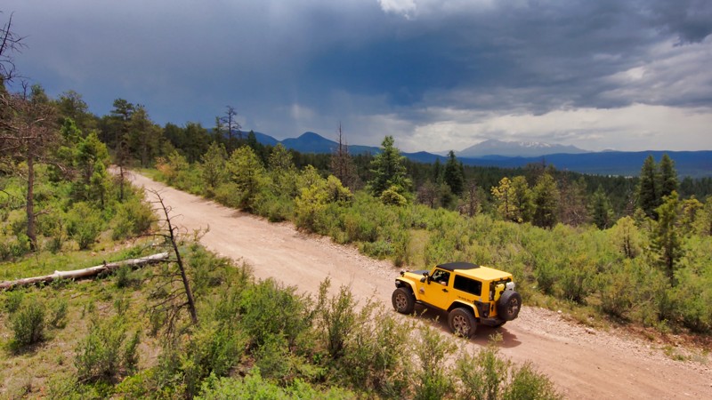
Long Hollow Road, part of the Rainbow Falls Trail Network from Rainbow Falls Road and Rampart Range Road, offers an enchanting journey through Colorado's dense forests. This rolling trail provides a peaceful escape with gentle climbs and descents, offering beautiful views and a sense of adventure without being too complicated. Ideal for campers, it is a convenient starting point to explore the surrounding trails, making it easy to enjoy the stunning Colorado landscapes.
Updated: 07/21/2026
Alpine Tunnel Road
Pitkin, Colorado
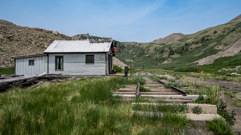
Climbing west from Pitkin into the high country of the Alpine Tunnel Historic District, Alpine Tunnel Road blends sweeping mountain scenery with one of Colorado’s most remarkable railroad stories. The road follows the former Denver, South Park & Pacific Railroad grade toward the Alpine Tunnel, which opened in 1882 as the first railroad tunnel beneath the Continental Divide and, at 11,251 feet, the highest point ever reached by rail at the time. Forests and open alpine slopes gradually give way to weathered railroad remnants, including the surviving 1890 Telegraph Office, creating a memorable journey through a landscape shaped by ambition, hardship, and the pursuit of Colorado’s next mining bonanza.
Updated: 07/06/2024
Dave Wood Trail
Montrose, Colorado
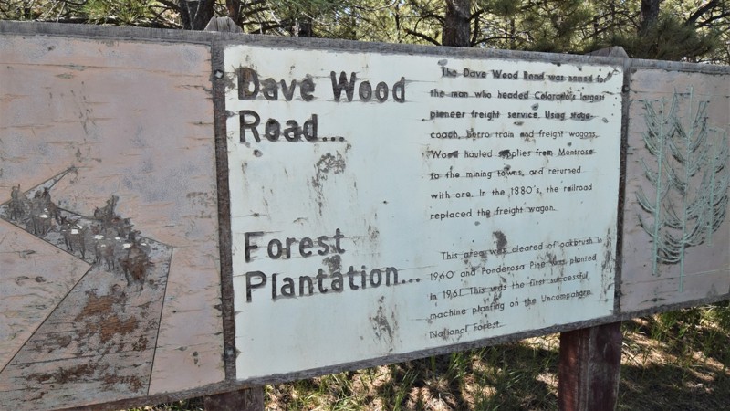
Dave Wood Trail is an excellent alternative to the weekend traffic on the paved highways. It travels from the San Miguel River near Norwood, Colorado all the way to Montrose to the north. The scenic route allows you to bypass miles of winding pavement and traffic. Numerous free campsite can be found along the road for a memorable backcountry experience. The trail is easy enough for most passenger vehicles but there are ample opportunities to take a more challenging 4x4 side trail to explore this wonderful area.
Updated: 06/09/2024
Ormes Peak Road
Colorado Springs, Colorado
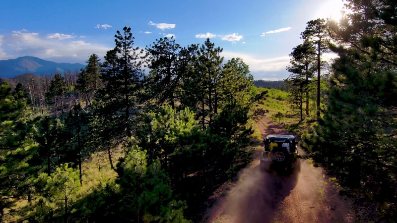
Emerging from the aftermath of the 2012 Waldo Canyon Fire, Ormes Peak Road presents a unique journey for wheelers through the regenerating Colorado forest. This easy yet engaging trail meanders through the burn-scarred woodland, now bursting with new aspen growth. Accessible year-round, it offers an off-the-beaten-path experience for wheelers in summer while flaunting a stunning fall colors display in the autumn, and even winter trips are feasible with the proper precautions and gear. Combined with nearby trails like Schubarth Road for a day of immersive driving, serene camping opportunities near young aspens, and a chance to witness nature's ongoing recovery firsthand. Ormes Peak Road is a testament to the enduring spirit of the Colorado wilderness.

Updated: 09/19/2026
State Highway 110 and County Road 10
Silverton, Colorado
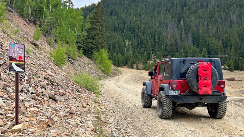
From Silverton, the road is part of the famous Alpine Loop and starts off as State Highway 110, which is a very wide, well-maintained gravel road. It provides access to Velocity Basin, Minnehaha Basin, and Prospect Gulch before turning into County Road 10, which travels completely uphill as a wide shelf road and passes Mogul Mine before joining Corkscrew Pass and Hurricane Pass. Suitable for any high clearance vehicle. Camping is limited to a few designated areas only.
Updated: 10/09/2024
Beaver Creek
Fairplay, Colorado
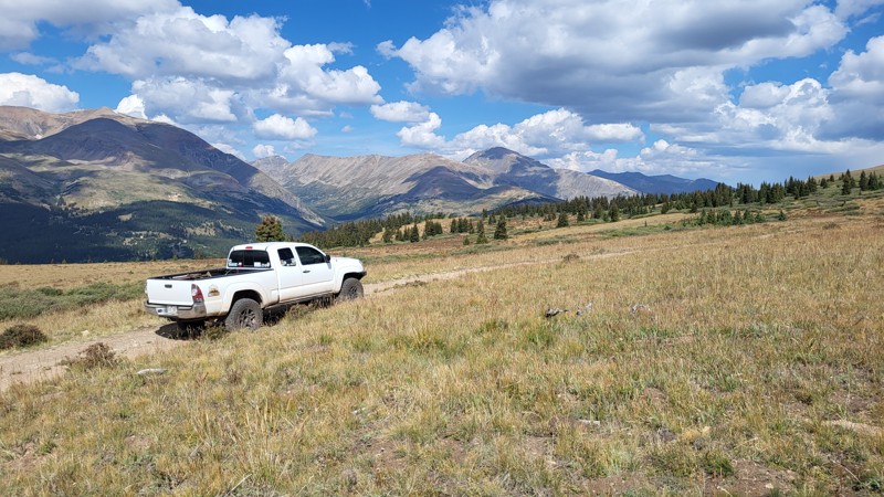
The Beaver Creek 4x4 trail offers a wide variety of terrain over this half-day excursion. From winding forest road to high alpine two-track, the trail peaks out above 12,000 feet and offers epic views of the surrounding 14,000-foot peaks. Ample campsites, stunning fall colors, and prime fall hunting make this a great Park County destination.
Updated: 06/16/2024
Hell Creek Road
Woodland Park, Colorado
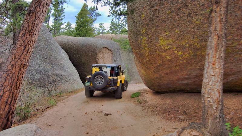
Near Woodland Park, CO, Hell Creek Road presents a unique offroad experience characterized by imposing boulders that dwarf even the most robust vehicles. This trail, framed by these monumental rock formations, hosts captivating campsites nestled among these grand natural sculptures, enriching the region's abundant camping prospects. Seasonal variations, such as snow wheeling, contribute to the thrill options, with numerous off-camber locations and icy creeks forming part of this frosty adventure. Join Hell Creek Road with the network of connecting trails for an all-encompassing, full-day wheeling experience, enjoyable year-round. The scale of the geological features that dominate Hell Creek Road promises a journey that leaves you both humbled and exhilarated in awe.
Updated: 10/17/2023
Elevenmile Canyon Road
Lake George, Colorado
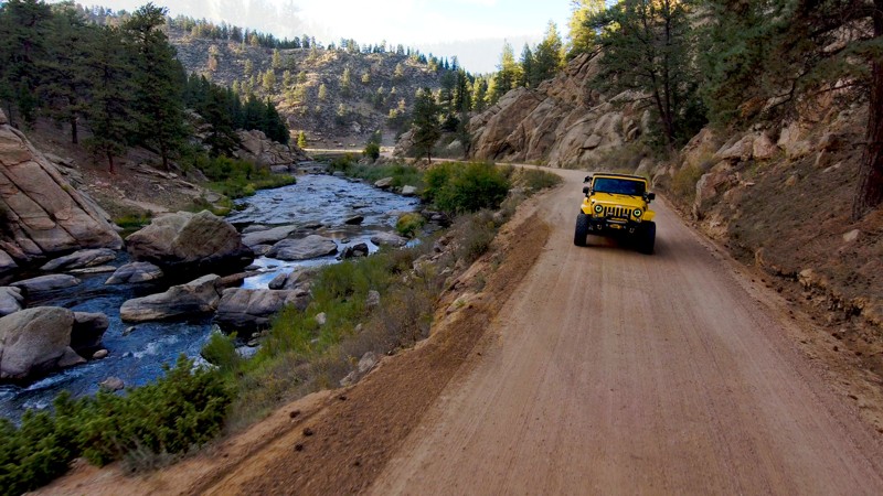
Elevenmile Canyon Road, nestled in the heart of Colorado's scenic landscapes, is a captivating off-roading gateway that seamlessly intertwines adventure with tranquility. The road meanders through the iconic Elevenmile Canyon, celebrated for its towering granite formations and the glistening South Platte River. As off-road enthusiasts traverse the accessible terrain, they encounter remarkable views of lush woodlands, the dynamic river, and a diverse array of wildlife. Steeped in historical significance, the road traces the old path of the Colorado Midland Railroad, adding a compelling historical layer to the journey. The trail features numerous serene picnic spots and fishing areas by the river, inviting visitors to relax and drink in the wilderness's breathtaking allure. Elevenmile Canyon Road, with its engaging blend of mild off-roading, intriguing history, and opportunities for immersion in Colorado's majestic natural settings, offers an unmatched experience for drivers across all skill levels.
Updated: 11/30/2023
Taylor River
Gunnison, Colorado
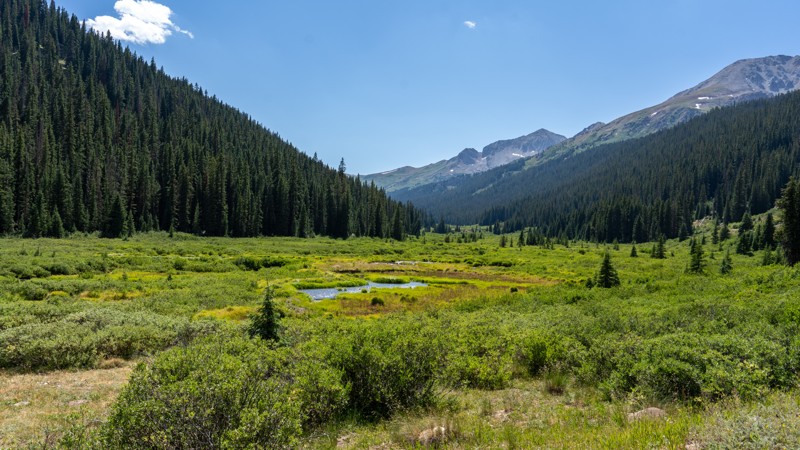
Taylor River Road runs through the heart of Taylor Park, an area in the Gunnison National Forest of Colorado known for its camping, fishing, and off-roading. It connects to the most famous passes in the Sawatch Range, including Taylor Pass, Cumberland Pass, and Cottonwood Pass. It is an immersive road for the authentic Colorado experience of tall treeless mountains in the background with lush meadows and pine trees in the foreground. Come for the camping and the long-distance overland routes you can create using this road.
Updated: 07/05/2024
Governor Basin
Ouray, Colorado
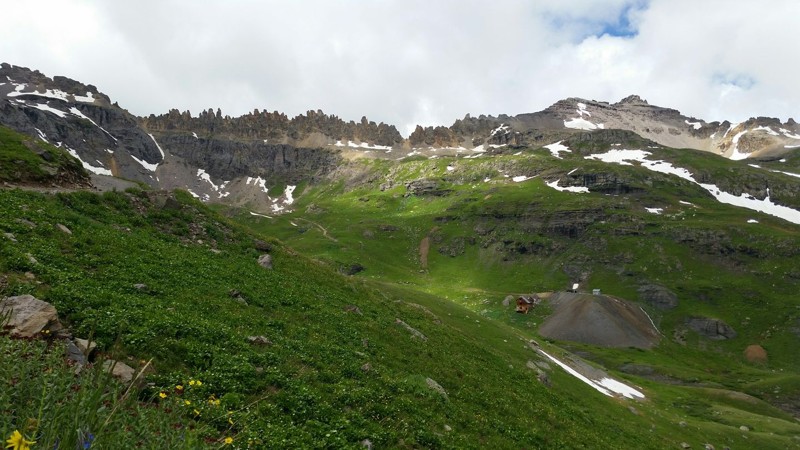
Offering gorgeous vistas of the jagged St. Sophia Ridge and beautiful wildflowers in late July, Governor Basin is a great route for travelers who wish to have the beautiful scenery that it's sister trail, Yankee Boy Basin has to offer, without the vehicle traffic that sometimes occurs. This route leads through stunning evergreen forest and ends high above timberline at the well preserved Mountain Top Mine.
Updated: 06/20/2024
Red and White Mountain
Vail, Colorado
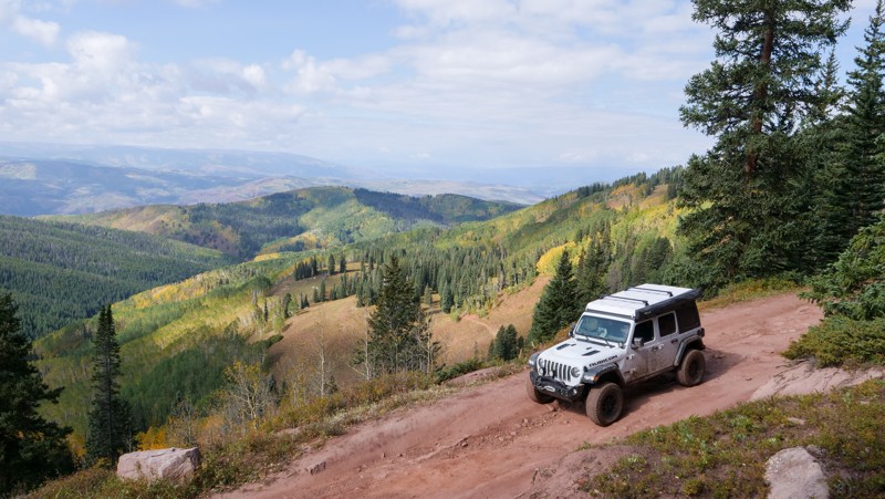
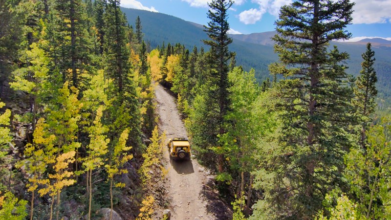
Red and White Mountain Road is aptly named after the 11,197-foot mountain it sits on. The drive takes you through massive aspen stands, which glow gold in the early Autumn months. When the tree canopy opens up, giving way to expansive views of Beaver Creek Ski Resort and the adjacent mountains on the other side of the Vail Valley, you know you are in Colorado. Load up the vehicle and roll down the windows to take in all the beautiful sights along the way!
Updated: 06/26/2026
Democrat Mountain Road
Empire, Colorado
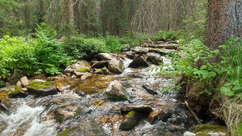
Steeped in the rich mining history near Georgetown, CO, Democrat Mountain Road presents an exhilarating offroad challenge. This trail instantly pulls you into a relentless 2600-foot ascent, and your journey weaves past remnants of mining ruins, silently recounting tales of the silver rush here. The trail unfolds with rewarding views of Leavenworth Creek Mountain and Alpine Peak, and inviting camping spots are tucked between all along the way, providing peaceful retreats. Democrat Mountain Road is a harmonious blend of history, adventure, and natural beauty, appealing to all outdoor recreation enthusiasts.
Updated: 07/14/2024
Deadman Road
Red Feather Lakes, Colorado
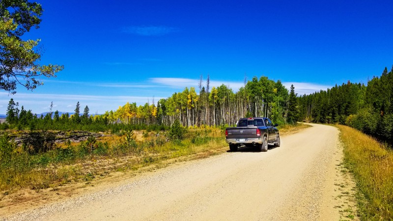
Deadman Road is an easy off-road trail through the Roosevelt National Forest with seemingly endless forest access and different routes to explore. Traveling from Red Feather Lakes to the Medicine Bow National Forest, Deadman Road was established for logging which it is still used for to this day. The logging history is also where this road gets its name, doesn't actually have anything to do with a dead man. Luckily, this has allowed for hundreds of miles OHV and 4x4 roads to be created. Some of these roads are now permanent while others are being closed and reopened as the year's pass. Deadman Road also has access to 2 single track trails, several beautiful valleys, creeks and streams for fishing, and the Deadman Lookout Tower where you can see from the plains of Wyoming to the peaks of Rocky Mountain National Park. Overall, this road is too much fun for one summer and once you visit you will always want to come back.
Updated: 06/15/2024
Aqueduct Road
Winter Park, Colorado
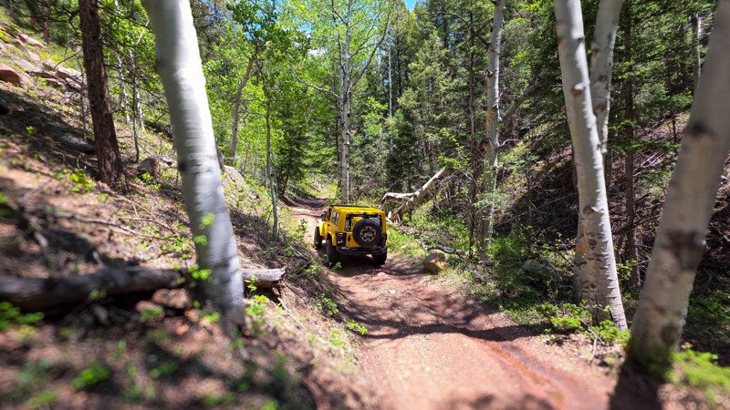
Whether you are looking to ditch the pavement for the sake of finding dirt roads, looking for a plethora of dispersed camping options not far from a town, where you can still have cell phone service, or you are just looking for some great hiking on the western side of the James Peak Wilderness, Aqueduct Road between Winter park and Tabernash is probably the trail for you.
This road takes you by several popular hiking trails such as Jim Creek and Devils Thumb and passes many camp spots along the trek. This road is a good place to see fall colors, as there are many aspen groves along the road and many that can be seen down in the Fraser Valley from this road. One unique feature is the ability to see Winter Park Ski Resort from the opposite ridgeline the resort sits on.
Updated: 07/06/2026
Hotel Gulch
Woodland Park, Colorado
Hotel Gulch Road is more than just a connector between Highway 67 and Rampart Range Road, it’s a quiet, scenic drive through the heart of one of Colorado’s most unique research forests. Winding beneath tall stands of ponderosa pine, this route passes through the Manitou Experimental Forest, a 16,000-acre living laboratory dedicated to forest and watershed science since the 1930s. If you keep an eye out, you’ll pass by a small cluster of beautiful stone buildings built by the WPA, a reminder of the New Deal era and the deep roots of conservation in this region.
The drive itself is easy and peaceful, with gentle grades and sweeping turns that invite you to take it slow. A few dispersed campsites are tucked along the route, offering a great overnight option for anyone exploring the southern Rampart Range area. It may not have bold obstacles or dramatic overlooks, but Hotel Gulch offers something quieter. An invitation to unwind, explore, and appreciate a corner of the forest where science and solitude go hand in hand.
Updated: 10/09/2024
Crooked Creek / Keyser Creek
Fraser, Colorado
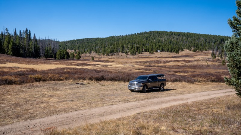
Crooked Creek, nestled in the high country west of Fraser, Colorado, offers a stunning and adventurous dirt road drive through lush pine forests and open meadows of the Arapaho National Forest. This scenic mountain road is the perfect base camp for an extended camping vacation, complete with ample wildlife viewing and dispersed camping opportunities along several picturesque creeks. With an abundance of OHV spur trails in the area, Crooked Creek is sure to keep you busy whether you visit for a single day or a long weekend.
Updated: 07/14/2024
Rollinsville
Rollinsville, Colorado
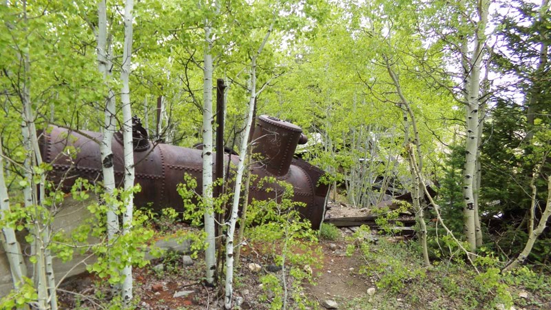
Situated on the west side of Colorado Highway 119 between the quaint little towns of Nederland and Rollinsville is a small network of hiking, mountain biking and 4x4 trails known as West Magnolia. Like much of the Colorado Front Range, the area is rich in mining history and abundant in scenic beauty. These easy-to-moderate four-wheel drive roads can provide a quick outing or be strung together to make a whole day or more of fun in the woods. Its proximity to the Denver area and ease of access make it popular for day trips or short weekend jaunts. Rollinsville is the main spine through the southern portion of this network. It is often combined with West Magnolia Road and Observatory to make a nice route to the town of Rollinsville. It also features more of the mining history of the area with the short hike to the Champion Mill and the remnants of the Lone Star Mine.
Updated: 07/23/2024
Mount Princeton
Buena Vista, Colorado
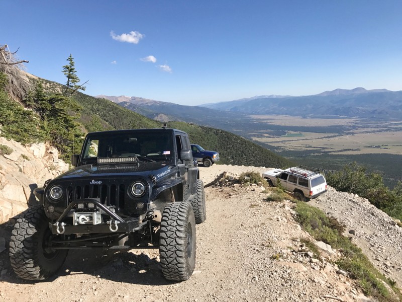
Mount Princeton (14,196') is the most majestic and popular of the Collegiate Peaks, and the Princeton Chalet road takes you well above timberline on the southern slope of the mountain. The trail is in such close proximity to Buena Vista that you can look up at the mountain from downtown and then two hours later you can be looking down on the valley below giving you views of nearly the entire county. The road will certainly test the nerves of even the most experienced drivers as it switchbacks its way up the mountains and then traverses to the south crossing a large avalanche chute before ending on a ridge below Tigger Peak (13,300'). A chalet built by Young Life in the 60s still stands at the end of the road and is used by hikers and mountaineers during their adventures.
Updated: 05/18/2024
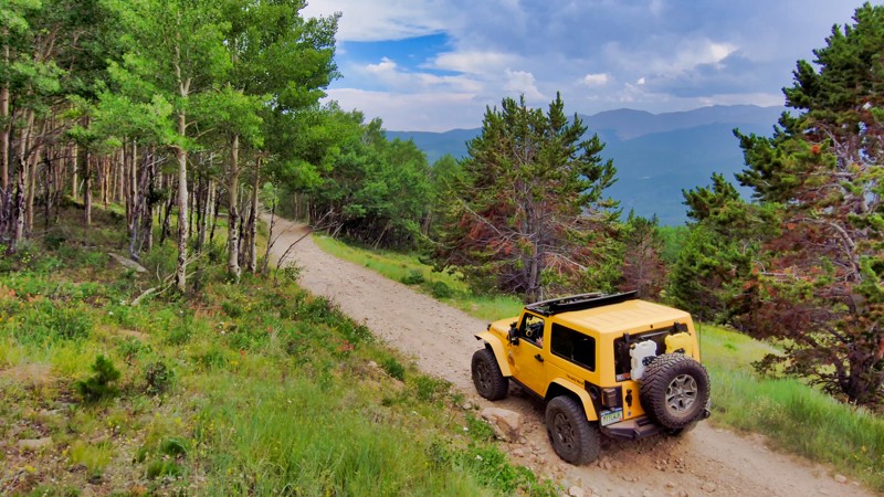
Stevens Gulch Road
Silver Plume, Colorado
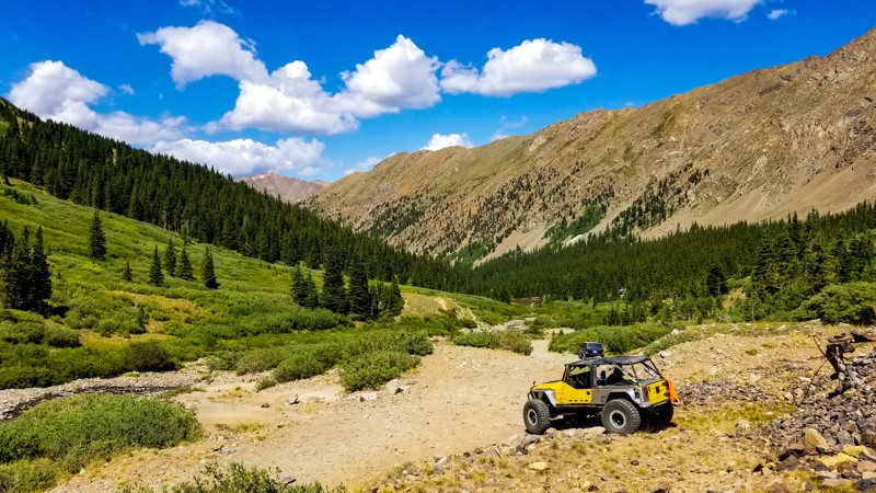
The opportunity to "bag" two, class-1 14ers on the same day doesn't come around very often. Grays and Torreys Peak are the two highest points on the Continental Divide and offer you this rare opportunity. Located in Arapahoe National Forest, Stevens Gulch is the only road to access the upper Grays trailhead that cuts 3 miles off of your peak bagging hike.
Updated: 06/27/2024
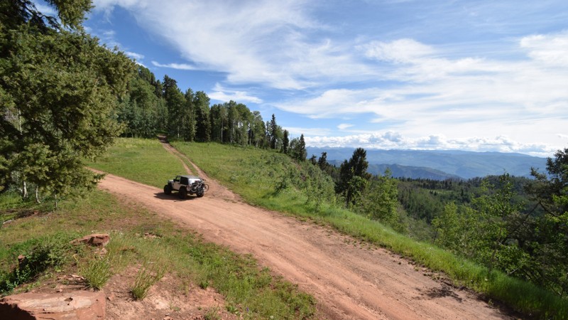
Ute Creek Road
Idaho Springs, Colorado
In the Saxon Mountain network of trails near Georgetown, CO, Ute Creek Road is a rough ride with scenic views. Nearby Mount Evans is ready to be photographed at the higher elevations. While this used to be an easy access road, time and weather have made this a technical trail while still providing a way to the top of Saxon Mountain. You can combine this with connecting trails to make a full day of wheeling.
Updated: 06/01/2024
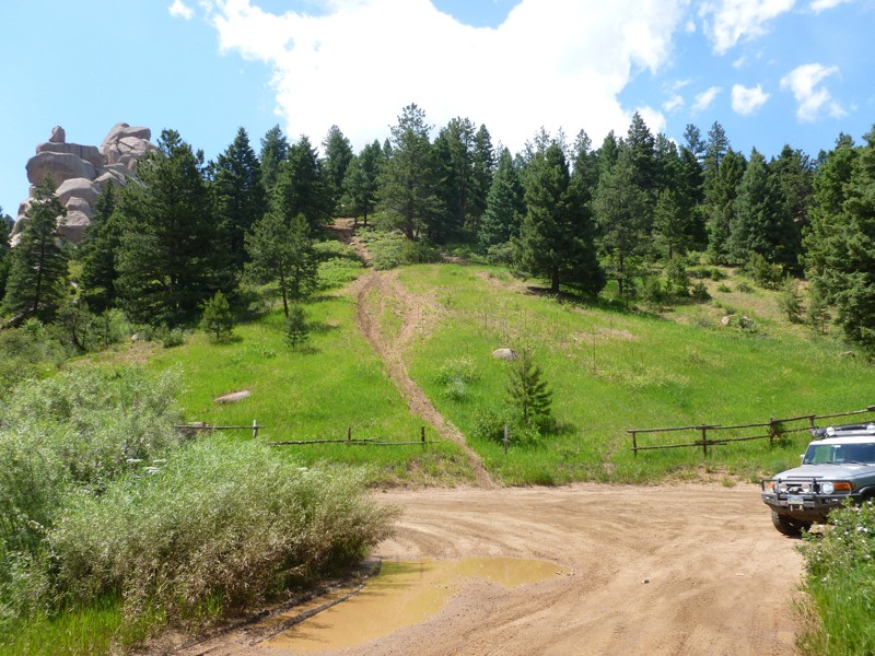
Junction Creek
Durango, Colorado
Junction Creek begins within the historic town of Durango and ends high above in the San Juan National Forest. The trail grants access to several popular hiking and mountain biking trails. This easy but long trail is often used for mountain bike shuttling, as well as the organized camping and primitive camping offered along the trail. There is also a beautiful and memorable scenic vista stop with beautiful views of the Animas River. While traveling up to over 10,000 feet, you'll experience vast panoramas of the larger peaks to the north without having to travel far from town or rent a more capable vehicle.
Updated: 06/02/2024
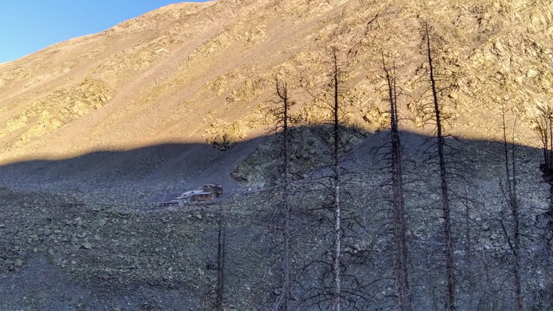
Upper Jackson Creek Road
Castle Rock, Colorado
This is a very nice trail through the valley in between Devil's Head and Dakan Mountain with a creek that runs through it. It has some spots for fishing, camping, and picnics. It's a nice trail to run to extend other trails or just to do Dakan Road as a loop. It has a lot of connectors to ATV and Dirt Bike trails. There is a very large network of trails here in the rampart range area that can make for a great day on the trail.
Updated: 10/15/2024
Lake Creek AKA Cloverdale Mine
Hillside, Colorado
Located within the San Isabel National Forest, roughly equidistant between Cotopaxi and Westcliffe, Lake Creek is a traditional Colorado mountain road that provides a mix of rugged scenery, mining history, and limited technical driving while passing the Cloverdale Mine and leading to the Silver Lake hiking trail. Along the way, Balman Lake and Rainbow Lake offer great vehicle-based camping, making this a suitable choice for just about any adventurer.

Upgrade your Membership
Unlock all of the details on every Trail Guide and Scout Route.
Start a 7-day Free TrialBrowse Trails in Colorado by City
Browse every Colorado city with offroad trail guides.
Community
Partners

