













By clicking "ACCEPT", you agree to be the terms and conditions of each policy linked to above. You also agree to the storing of cookies on your device to facilitate the operation and functionality of our site, enhance and customize your user experience, and to analyze how our site is used.
Colorado Off-Road Trails
602
Total Trail Guides 575

6450
Detailed Waypoints 568
Try a Free 7-Day Trial and unlock it all
Start a Free Trial Most Recent Trail Reviews
Rated 5/5
Open
Visited: 09/23/2026
We frequent this route probably once a week from GoG to Woodland Park. Be very careful on the blind curves - no shortage of knuckleheads driving way too fast (a biker was struck fatally in June). Us...

TC
Tim Crane
Rated 5/5
Open
Visited: 09/22/2026
Scenic road connecting to other alpine loop trails. it's not very technical or hard. but if you don't prefer shelf roads, maybe that can be considered hard. Red Mountain peaks are awesome. the scenery...


Mustafa ParDane
Official Crew
Rated 5/5
Open
Visited: 09/22/2026
Besides the shelf roads, there is not other bug obstacle or anything technical. As always, it has really good views :)


Mustafa ParDane
Official Crew
Rated 5/5
Open
Visited: 09/22/2026
Views are awesome as always with any alpine loop trails. There is a very short hike at the summit that takes you to even higher point with better views. Lake Como looks very good from there.


Mustafa ParDane
Official Crew
Rated 5/5
Open
Visited: 09/22/2026
Started from Lake City as most people recommend running the alpine loop clockwise. I think that was a wise choice because I didn't have a lot of ongoing traffic. The views are awesome and they start r...


Mustafa ParDane
Official Crew
Rated 5/5
Open
Visited: 09/22/2026
Tough trail, lots of technical spots throughout. Dont attempt solo or with any kind of stock truck!


Greg Dermann
Rated 4/5
Open
Visited: 09/22/2026
Just a dirt road with lots of potholes. Nothing technical. Drove this up to the 401 Trailhead to bike. Pretty busy with folks camping and leaf peeping. Overall it is in a pretty area and theres good c...



Davis McPherson
Rated 4/5
Open
Visited: 09/22/2026
Ok I have not run that trail in the last 4 years. I don't recall it looking like the photos. Did it recently get this way (rock garden) and get the difficult rating?
C
coyoteslocos
No Rating
Temporary Closure
Visited: 09/21/2026
Sign at the bottom of the hill says road construction but when you get to the turn off it is blocked.
PD
Paul Dixon
Rated 5/5
Open
Visited: 09/21/2026
Ran the trail from Westcliff side over the pass and into Great Sand Dunes NP. Had great weather. Don't think it had rained much in the days prior. So, the trail was dry. Think the difficulty ratin...



Stephen
Rated 5/5
Open
Visited: 09/21/2026
Id put it at a 3 some larger rocks mud and shelf roads: beautiful trail. Highly recommend.


Brian mckie
No Rating
Open
Visited: 09/21/2026
There is an area towards the end of this trail not long before it opens into the meadow that is very shaded and has become a mud hole. Well, somebody with a vehicle not capable enough to get through i...

Curt Greeley
Rated 5/5
Open
Visited: 09/20/2026
Ran this trail for the first time on 9/20/26. Absolutely stunning views and the leaves were almost at peak. This might be my new favorite trail to run during this time of year. Not difficult, but long...



Jack Mackie
Rated 4/5
Open
Visited: 09/20/2026
I wanted to run this trail on my way out from the gulches area but when I got down to the first stream crossing it had a few large logs placed in it. Im not sure if this is for traction or what, but I...
Jack Mackie
Rated 5/5
Open
Visited: 09/20/2026
First time out here and I ran this alone on 9/20/26 coming back from Old Stage 220. Took Sportsman Rd to get to 220 so I decided to take this to trail to get back to Cedar Mtn Rd. This is more fun tha...
Jack Mackie
Rated 5/5
Open
Visited: 09/20/2026
This is one of my favorite trails. I like to start at St. Mary's and run it in reverse lf this trail guide. I prefer to take most of the steep sections downhill, but if you want a fun challenge, then ...


Tim
Rated 5/5
Open
Visited: 09/20/2026
Ran this on 9-20-26 up to the Phoenix rocks. WK2 3" lift on 33's. Never been in this area before but I have read many of the reviews on here about the gulch trails. I was alone and the phoenix rocks w...

Jack Mackie
SH
Sharon Hansen
Rated 5/5
Open
Visited: 09/20/2026
Maiden voyage for my stock suspension 1994 Wrangler. The trail was surprisingly rocky in the beginning. Beautiful views and not too much traffic.
SH
Sharon Hansen
Rated 2/5
Partially Open
Visited: 09/20/2026
While there were some aspen views, this is not the best place to find them. Most of the views of the surrounding area are obscured by pine trees that are close to the road. Many of the overlooks are o...
MG
Mike Gerdts
Rated 4/5
Open
Visited: 09/20/2026
We enjoyed the trail. Beautiful scenery. Definately narrow in some areas. The terrain itself wasn't so difficult. Clearence is needed for some of the rocks in the trail.


Lisa Johnson
Rated 4/5
Open
Visited: 09/19/2026
Ran it in a 157"WB F150 on 33's, and would probably run it in a passenger car. Great views, easy climb and the switchbacks were totally navigable in a fullsize. Some of the roads on top are more app...
J
Justin
Rated 5/5
Open
Visited: 09/19/2026
The last descent at the end is kind of muddy so take it extra slow.



Joshua Scurran
Rated 5/5
Open
Visited: 09/19/2026
Ran east to west. The ascent at waypoint 14 has been cleaned up considerably - not sure if this was the work of the recovery crew we passed who were headed up Mt Baldy road, but it was much less rocky...

Jeff Dew
JG
Joseph G Botthof III
No Rating
Temporary Closure
Visited: 09/19/2026
Following up on Ryan's post, multiple incidents have occurred of vehicles sliding off the trail at washouts. CO4x4RNR was up yesterday recovering a vehicle, and we were told the trail will remain clo...

ERIC D BROWN
Rated 5/5
Open
Visited: 09/19/2026
Epic views at the top make this in and out road a must see on my list. Shelf roads with a few areas for passing. Switchbacks and 12"-18" boulders in only a few places to navigate. 4wd and good clearan...



Desi
Rated 5/5
Open
Visited: 09/19/2026
Expect closures Sept 21-24 for pipeline maintenance starting near the trestle. Perhaps related, there’s a rusty 4-6” pipe sticking out of a puddle near the trailhead at the top.
It’s been a bit rai...

MG
Mike Gerdts

Kirk Kneezle
Kirk Kneezle
Kirk Kneezle
WH
William Harkcom
Rated 5/5
Open
Visited: 09/18/2026
Great trail. Lots of fun, great views. Loved all the rock outcroppings.



Jessica H
Rated 5/5
Open
Visited: 09/18/2026
Short but fun. Right mix of technical and scenic. Ran this with Solitude Creek. Great views but that initial climb looked daunting but once you get into it wasn’t that bad.


Jessica H
No Rating
Temporary Closure
Visited: 09/18/2026
Forest Service has closed the trail due to washout damage. No ETA yet on fixes or reopening.


Ryan Boudreau
Official Crew
No Rating
Open
Visited: 09/18/2026
Only drove it to the Chinns Lake cutoff, but that part was in great condition. They've recently laid down new gravel on the lower portion in the neighborhood, it is super smooth.
S
Scott
No Rating
Open
Visited: 09/18/2026
Great condition. Only tough spot is some deep holes just before you get to the lake, otherwise it's easy. The mud holes are deeper than I remember, but it's been raining quite a bit. Lake is very, ...
S
Scott
No Rating
Open
Visited: 09/18/2026
We ran it downhill from the Miner's Gulch area. It's an easy descent thru the forest, a few rocks here and there, nothing major. Nice view of the aspens and rain clouds moving thru the area. Decent...
S
Scott
No Rating
Open
Visited: 09/18/2026
Mostly moderate, but a few spots are pretty rough with unavoidable and awkwardly placed boulders - stock vehicle are likely to hit their rocker panels. Good approach angles and rock sliders are your...
S
Scott
Rated 5/5
Open
Visited: 09/18/2026
Trail is in great condition, views from the top are magnificent.
S
Scott
Rated 4/5
Open
Visited: 09/18/2026
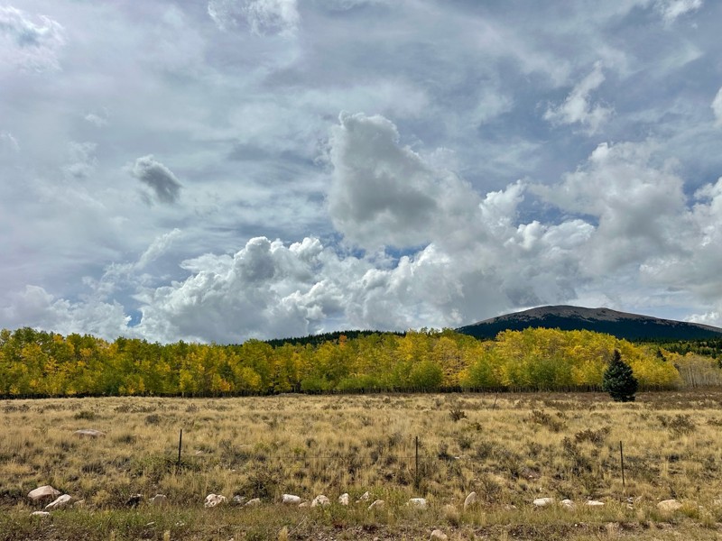
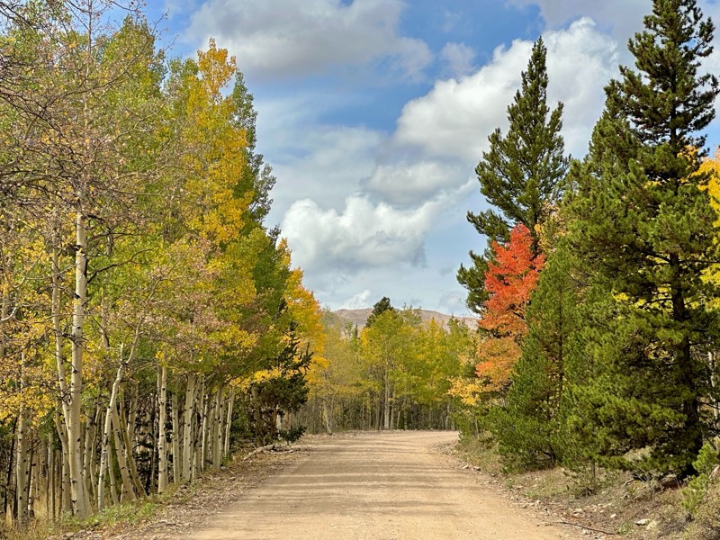
Went up for the aspens and I’d guess, for the most part, they’re maybe a few days past peak. Ran it in “reverse” starting from the east trailhead and there was still plenty of good color to see. Close...

Scott Bram
Rated 5/5
Open
Visited: 09/18/2026
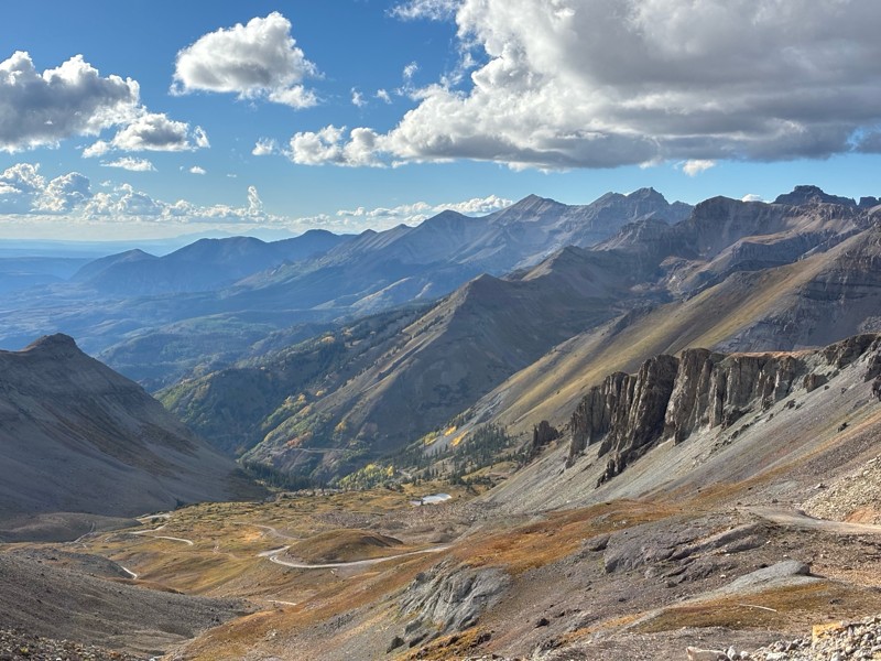
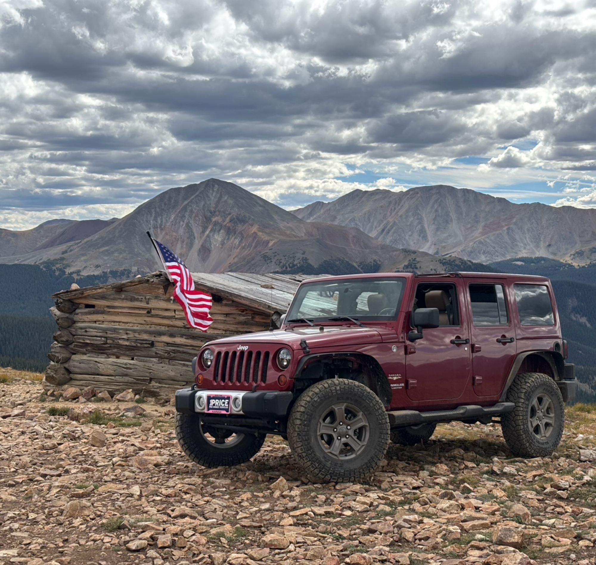
Ran the trail starting in Telluride on Friday the 18th. The trail is open the whole way through to Ouray. Very little dust thanks to all of the rain lately made our first time on Imogene very pleasant...
Matthew Stef
Rated 5/5
Open
Visited: 09/18/2026
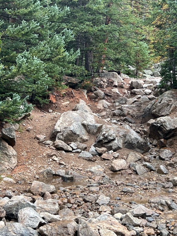
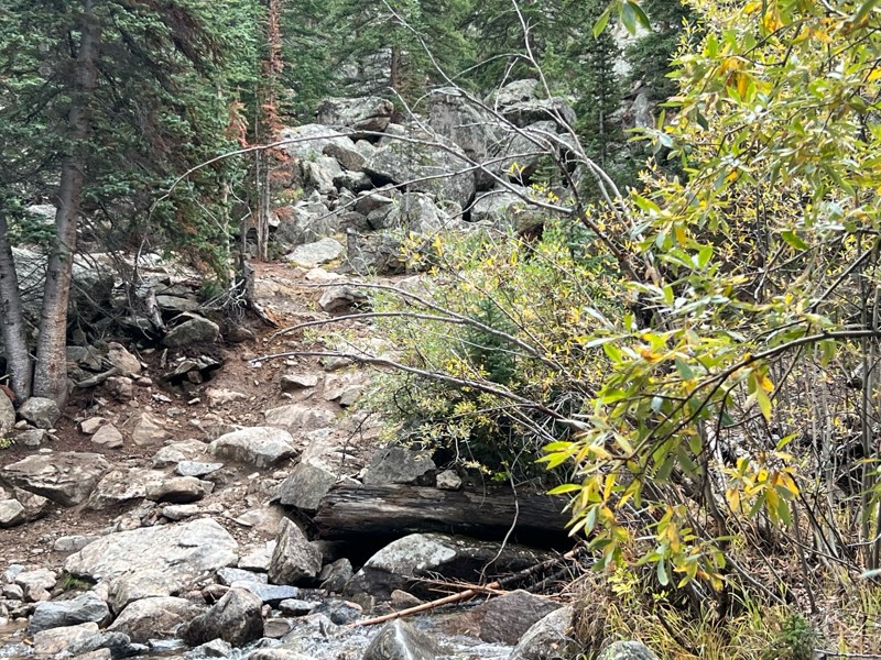
Fantastic views. Great time of the year to go - less likely to need to pass other vehicles on some steep ascents. The “gatekeeper” obstacle and narrow (no room to pass) sections are the major conside...
TK
Tarik Khatib
Rated 5/5
Open
Visited: 09/18/2026
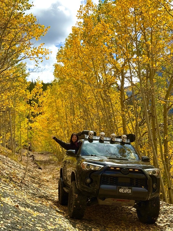
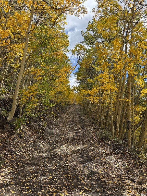
We honestly didn’t mean to take this road but ended up on this road on accident looking for a way to get from Georgia pass to Breck. The colors were amazing!! We came east to west so we were heading d...
V
Vince
Rated 5/5
Open
Visited: 09/18/2026
Beautiful trail. Fun whoops and a pretty rocky section. Would definitely recommend not taking the family sedan.
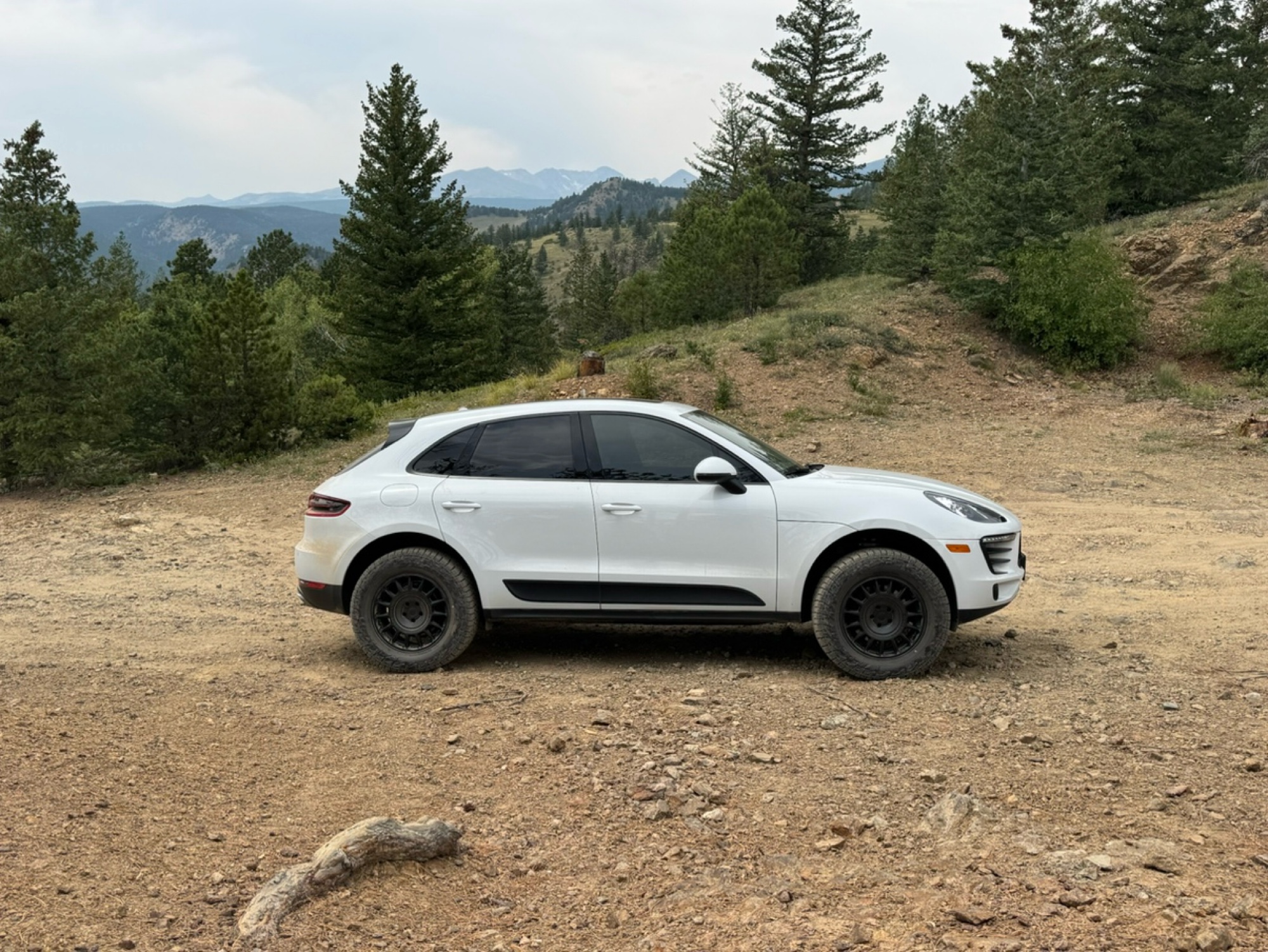
Wade Williams
Rated 5/5
Open
Visited: 09/18/2026
Super fun trail! Good mix of choosing some lines depending on clearance but nothing crazy or scary feeling. Moody views, but I prefer it that way.
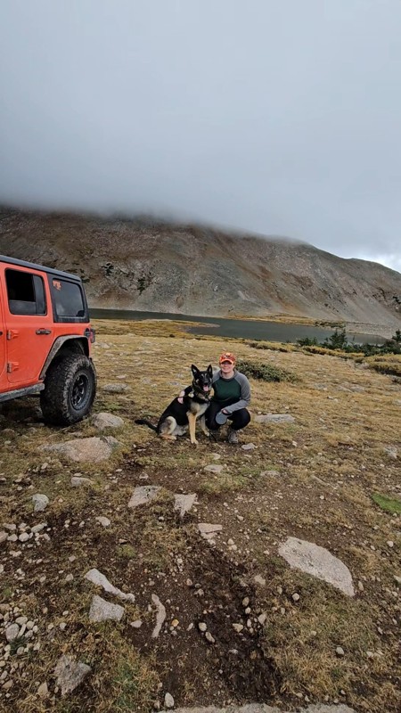
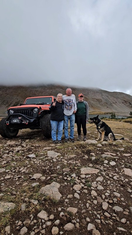
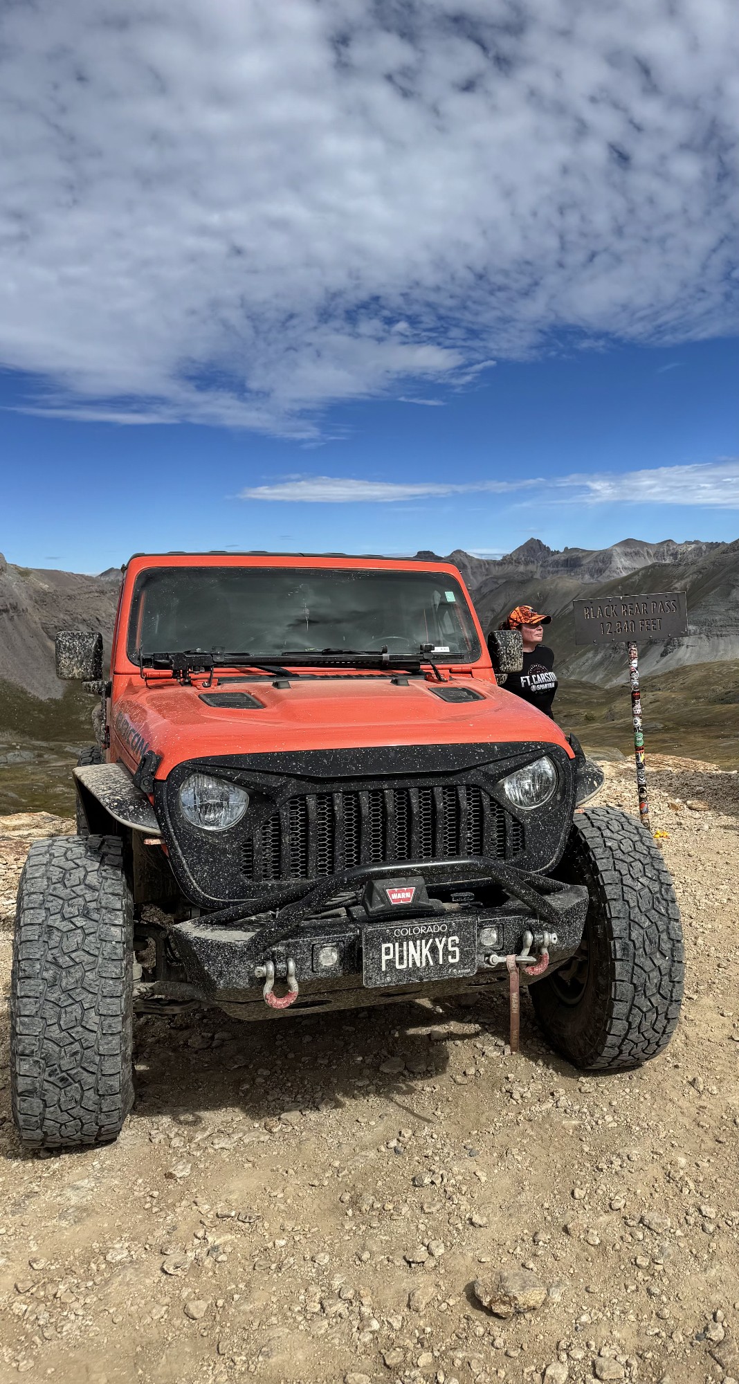
Tamara Gold
No Rating
Open
Visited: 09/17/2026
Did this from East to West and it was a fine leaf peeping drive.
SB
Seth Burmeister
No Rating
Open
Visited: 09/17/2026
17 Jeep Renegade FWD, Stock size All Terrain tires 225/55R18
Scraped the bottom once on a rutted out area but simple tire placement would avoid that. After the Waterfall (waypoint 10) due to it rainin...
SB
Seth Burmeister
Most Popular
Updated: 07/22/2024
Mount Bross
Alma, Colorado
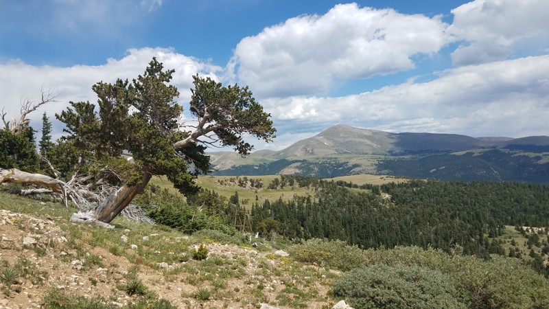
The Mount Bross trail will take you high up on the shoulders of this popular "14er" through high-alpine meadows and rocky, narrow, shelf roads. Naturally, this yields truly epic views. If you're hoping to "bag" Mount Bross, this trail provides nice, dispersed campsites that provide an easy approach for hiking to the summit.
This trail also offers plenty of mining history. Gold discovered on the slopes and gulches of Mount Bross triggered the first Colorado gold rush in 1859. Why the signs never read Mount Bross or Bust is beyond us.
Updated: 07/06/2024
Hermit Pass
Westcliffe, Colorado
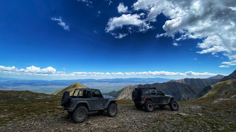
Hermit Pass is one of the few trails allowing you to drive a vehicle above 13,000' in elevation. Originally built as a mining exploration route and a connection between the Westcliffe Valley and the San Louis Valley, the road now primarily serves the recreation community. The route takes you through lower-elevation forests and aspen groves, past high-alpine lakes, and culminates with panoramic views both east and west framing the vast valleys below. The road does not offer much in the form of a technical challenge, but the scenery is well worth the trip! Hermit Pass should be part of your trail plans if you are in the Westcliffe area.
Updated: 09/17/2024
Carnage Canyon
Johnson Village, Colorado
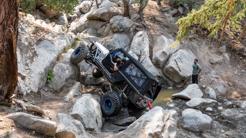
Carnage Canyon, or Carnage BV as it is sometimes referred to, is an extreme rock crawling trail. Though it is less than a mile long, this trail will take most of the day to complete, depending on the group size and the needed trail repairs. It is impossible to get through without a winch and a minimum of 37'' tires. Lockers are required, and vehicle damage is almost inevitable. This route features huge boulders, daunting waterfall climbs, and a V-notch obstacle that pushes most vehicles onto their side.
This trail should not be attempted if you do not meet the posted requirements at the trailhead.

Updated: 09/09/2026
Italian Creek
Mount Crested Butte, Colorado
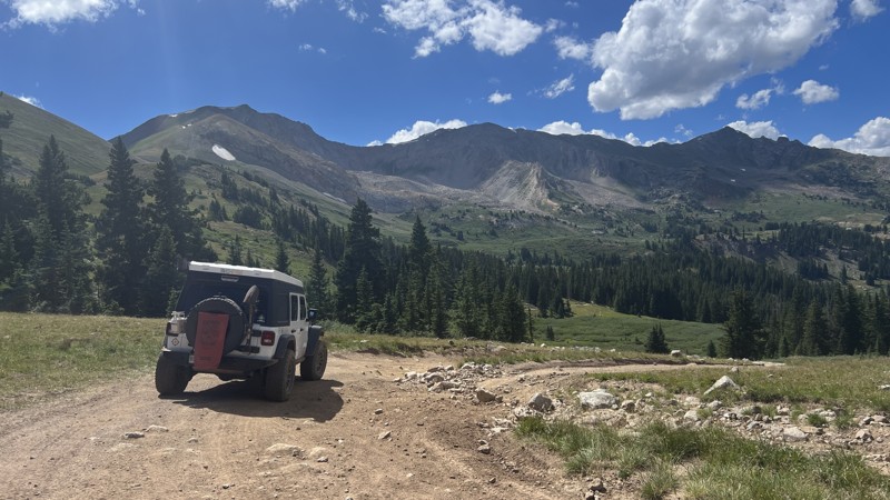
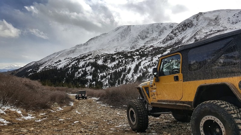
Italian Creek is a challenging trail that connects Cement Creek, just south of Crested Butte, to the Taylor Park area. Originally built in the 1880s, this trail was originally created as a connector trail between Taylor Park and Crested Butte, two prevalent mining towns at the time. This trail has quite a bit of diversity, with the western half of it being mostly in the forest with tight trees and the eastern half being above the treeline, which showcases the high mountain peaks and vistas for which this area is famous. While this is an all-day adventure traversing quintessential Colorado high-country, this route is not for the faint of heart and will test a stock rig.
Updated: 11/17/2025
Upper Hall Valley
Grant, Colorado
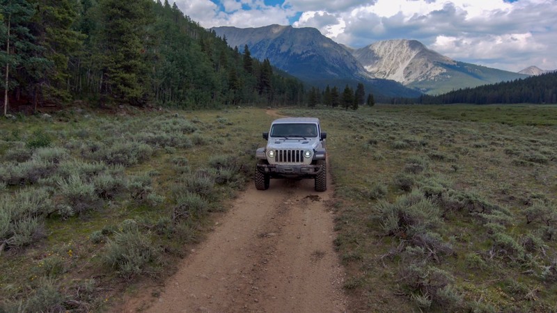
Hall Valley is a quick, relatively easy, scenic 4x4 trail that is close to Denver, Colorado. It leads you through aspen, pine, and finally into an open basin where you can explore the old structures of the Missouri Mine by foot. There are other four-wheel drive trails nearby such as Red Cone, Webster, and Beaver Lakes along with the Gibson Lake and Whale Peak hiking trails. Hall Valley is named after Colonel William Jairus Hall, a local mine owner.
Updated: 06/29/2024
Texas Creek
Gunnison, Colorado
A quintessential Colorado experience complete with pine trees, sage, a meandering stream, cattle, bears, bare mountain peaks, and excellent camping. Texas Creek is a beautiful trip in the Gunnison National Forest, delivering you to the footstep of the Collegiate Peak Wilderness Area that includes Mount Yale, Birthday Peak, and hiking trails accessing the Continental Divide and high plenty of alpine lakes. Pack the camping gear, chairs, and camera for this beautiful drive into the more seldom seen views of the west side of the Collegiate Peaks.

Updated: 07/24/2024
Fourmile Area: Natural Bridge
Buena Vista, Colorado
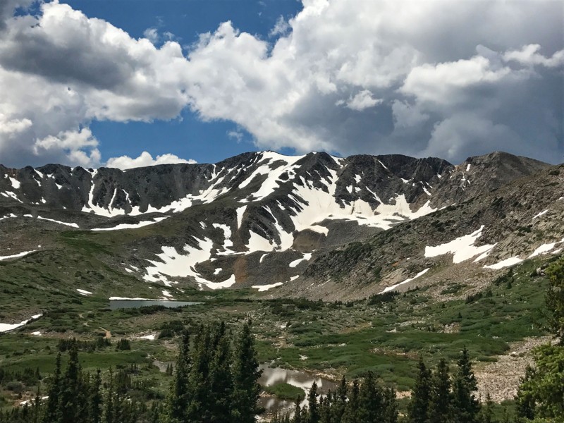
The Natural Bridge Loop is a scenic trail with a hiking option located just northeast of Buena Vista. The trail snakes back and forth over small ridges and through steep gullies before reaching the Natural Bridge rock formation. While an impressive photo opportunity from the road, the optional .75 mile hike to the bridge allows for an up close look and an amazing view of the Arkansas River Valley below. The return trip is equally as impressive with panoramic views of the 14,000' Collegiate Peaks as the backdrop. Bring your hiking gear and some water if you plan to hike to the bridge as it's a steep non-maintained trail up the mountainside.
Updated: 07/16/2024
Baldwin Lake
Buena Vista, Colorado
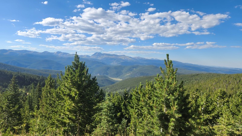
The Baldwin Lake Trail follows the Baldwin Creek drainage, gaining elevation as it climbs out of Baldwin Gulch. The trail offers postcard worthy views of Baldwin Lake as it sits in the basin below Grizzly Mountain (13,708'). The trail is part of the Mount Antero Trail system, and is a side trip off the Mount Antero Trail. Baldwin Lake offers the opportunity for high alpine fishing and the trail continues into the basin above giving a glimpse of the areas past mining history. Views of Mount Antero (14,275') are prominent on the return trip down the valley.
Updated: 06/15/2024
Dakota Hill
Black Hawk, Colorado
Dakota Hill offers spectacular mountain vistas, interesting mining relics, and connections to many more trails to explore. On the way to the trailhead, Apex has a few present-day residents but is a well-preserved ghost town. This offroad 4x4 route is one of the main spines of the extensive network of trails around Dakota Hill and Oregon Hill southwest of Rollinsville. This whole network is a remnant of a bygone era where a few made fortunes and others died with shattered dreams.
Updated: 06/29/2024
Solitude Creek
Estes Park, Colorado
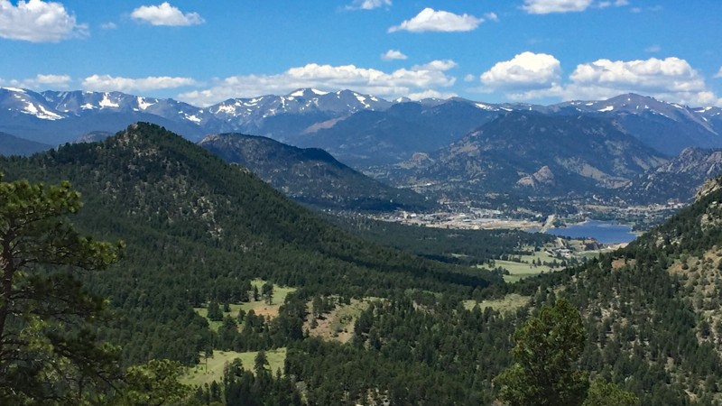
Solitude Creek is situated in Roosevelt National Forest just east of Estes Park. It is a loop off of the popular out-and-back, Pole Hill. This loop offers some truly epic camping opportunities and provides some of the most stunning views the Pole Hill area has to offer. There is one notable obstacle along Solitude Creek, which is called The Notch. Like the other trails in this area, any skill level or vehicle build will have a fun day out on this trail. The obstacles you will encounter will give the lesser built vehicles a challenge and will give the more built vehicles a chance to flex out.
If you are into camping, definitely bring the tent out for this one. If you are more of a day tripper, make sure you bring a lunch as this trail provides some extremely scenic places to enjoy a bite to eat while enjoying gorgeous views of the surrounding environment. For a fantastic day of offroading, combine this trail with Panorama Peak and Pole Hill. Run all three trails for a great time close to the Front Range.
Updated: 07/17/2024
Bear Town aka Kite Lake
Silverton, Colorado
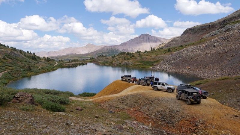
Kite Lake is situated in the Rio Grande National Forest in Southwest Colorado. It is a spur of the famous Stony Pass, which was a wagon supply route back in the 1880's. The San Juans are notorious for their beauty and ruggedness, and the trek up to Kite Lake is no exception. Kite Lake will take you up past Bear Town, which is a virtually non-existent mining town founded in 1893. Evidence of this mine is hard to find, and the trail is more known by its name of the final destination, which is a glorious alpine lake in the lush and scenic landscape nested in the heart of the San Juans.
The beauty of this area not only brings lots of people by 4WD vehicle but on foot and by bicycle as well. The famous 485 mile Colorado Trail from Denver to Durango travels adjacent to Kite Lake along the ridge above the lake. And the 3,100 mile Continental Divide Trail from Canada to Mexico crosses this trail at one point. This is a very special place for all types of outdoor enthusiasts.
Updated: 05/26/2024
Monument Rocks
De Beque, Colorado
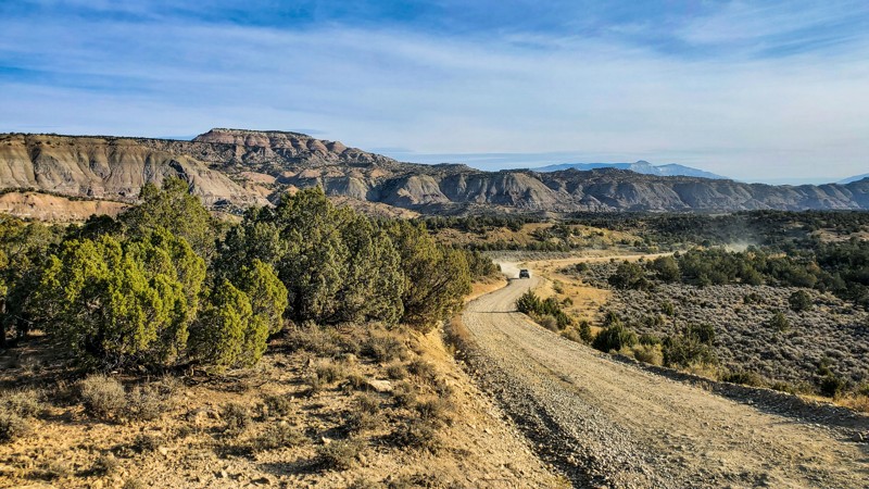
Located just west of De Beque, in the desert mountains of western Colorado, Monument Rocks is a trail that will surprise you with beauty, interesting rock formations, open camp views, jaw-dropping cliffs, and even the sights and sounds of wild horses. Close to Grand Junction, this off-road trail is easy enough to be completed by just about any SUV, and offers endless recreational opportunities as it snakes its way through the Little Bookcliffs Wild Horse Area; One of only three such ranges in the United States. Bring the family, bring a lunch, and bring the binoculars as you scout the horizon for the plethora of diverse colored horses roaming the area.
Updated: 12/31/2023
Yankee Mosquito (Kingston Peak Cutoff)
Central City, Colorado
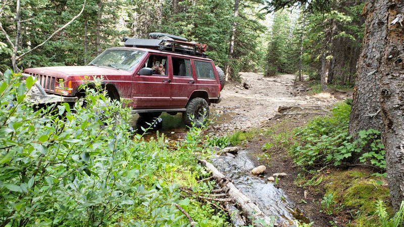
Tucked away on the backside of the Yankee Hill network of 4x4 trails, west of Central City, Colorado is a lesser-known gem of a trail. Officially named Yankee Hill-Mosquito Creek, Forest Service Road 772.1 is often referred to as the Kingston Peak Cutoff because it makes a major connection between Yankee Hill and Kingston Peak which allows you to run major portions of Yankee Hill and Kingston Peak as a loop from St. Mary’s back to Alice. Not only is this trail noted for its significance as a connecting trail but it is fun in its own right. There is just enough challenge to make it interesting but not enough to be overly difficult. It combines tight corners through dense forest in the lower section with open meadows and sweeping views near the top. Wildflowers are prevalent, especially along the creeks, and evidence of the area's rich mining history can be seen in an old, crumbling cabin. Although there is likely to be some traffic, it is not as well-traveled as the more well-known and popular parts of the Yankee Hill Network.
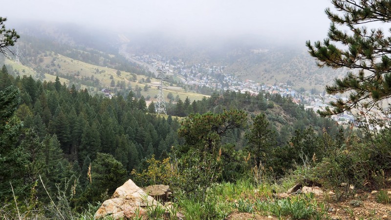
Updated: 08/02/2026
Sante Fe Mountain (Hidden Wilderness Road)
Idaho Springs, Colorado
Sante Fe Mountain is an out-and-back trail near Idaho Springs off Soda Creek Road. Take a left turn immediately after going under I-70 onto Montane Drive. The trail starts in a residential neighborhood with paved and graded gravel streets before reaching the Forest Service boundary. After entering the National Forest, the road gets narrower and gradually rougher as it winds its way up the side of the mountain through magnificent pine and fir forest with occasional lovely aspen groves. There are several areas where the forest opens up, providing stunning views of the surrounding mountains. Eventually, the trail ends at a private gate. Dispersed camping is abundant with many nice sites of various sizes. Sante Fe Mountains’ proximity to Barbour Fork make it a nice alternative for camping or a fun way to extend the day.
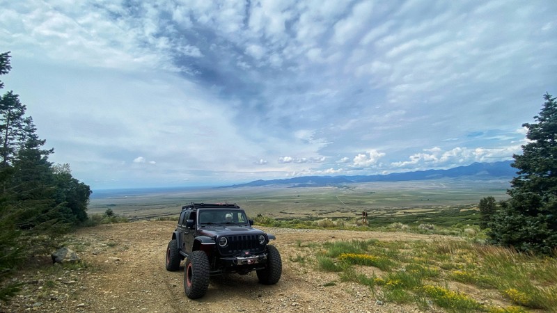
Updated: 03/12/2026
Hayden Pass
Villa Grove, Colorado
Hayden Pass is one of the few remaining routes that cross the Sangre De Cristo Mountain Range. Once used by the Utes to go from the Arkansas River to the San Louis Valley, the road now connects the town of Villa Grove on the west with the town of Coaldale on the east. Climbing the west side of the pass is slightly more difficult and rocky compared to the east side, but both sides of the pass offer magnificent views of the valleys below.
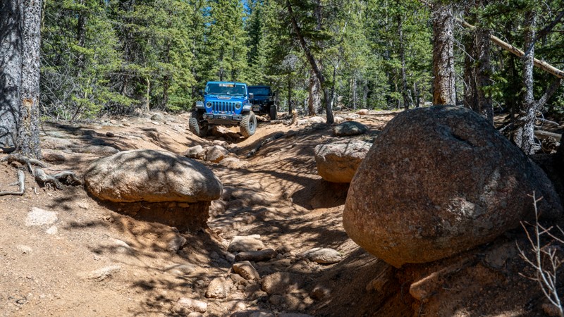
Updated: 07/20/2026
Saran Wrap
Colorado Springs, Colorado
Saran Wrap delivers a short but satisfying dose of Front Range wheeling southwest of Colorado Springs, making it a great trail to test out a new build without committing to a full day. The trail wastes little time putting your suspension to work, with rocky climbs, embedded boulders, erosion ruts, and uneven ledges that flex, twist, and articulate your vehicle through tight forest terrain. For drivers looking to shake down new tires, suspension, armor, lockers, or gearing, Saran Wrap offers enough technical challenge to expose strengths and weaknesses while still keeping the experience compact, focused, and fun.
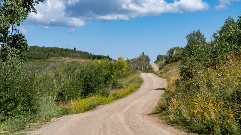
Updated: 05/28/2026
Divide Road
Orchard Mesa, Colorado
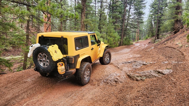
As described here, the road begins from the north within the Dominquez-Escalante National Conservation Area before reaching the heart of the Uncompahgre National Forest. It starts as gravel and quickly gains 2,000 feet in elevation within the first 15 miles of its almost 83 miles of distance. The northern half provides excellent views of the La Sal Mountains in Utah, and then as you travel south, views give way to the San Juan Mountains. The road mixes wide-open grasslands with patches of aspen and pines. The aspens were plentiful, offering a nice leaf peeping tour in the fall. Dispersed camping was denser in the northern sections but was abundant all over. When finding a dispersed pull-off, be sure to read the marker that states "No Motorized Traffic" as at first glance, it would appear you can't drive into a campsite, but you will notice smaller words stating the motorized travel must stop within a stated number of yards. There are also three designated campgrounds named Divide Forks, Columbine, and Iron Springs that are free and first come, first serve.
Updated: 05/26/2024
Illinois Gulch
Woodland Park, Colorado
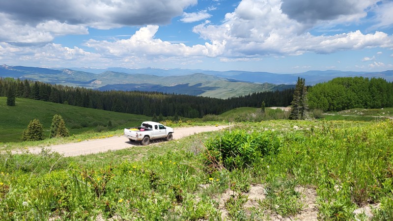
Illinois Gulch is a slightly rough picturesque trail in the Rainbow Falls area of Colorado. Easy to access yet less crowded than the nearby Flake Road, it's perfect for those looking for a peaceful weekend getaway, complete with numerous well-developed campsites. Illinois Gulch is a gateway to Long Hollow Road and the 15-square-mile Rainbow Falls Trail Network. However, this mild trail becomes significantly more challenging with fresh or ice-packed snow during winter, requiring extra caution. Despite its roughness, Illinois Gulch remains an alluring destination for newbies and seasoned drivers seeking memorable off-roading adventures while camping amidst nature's beauty.
Updated: 07/05/2024
Muddy Pass
Vail, Colorado
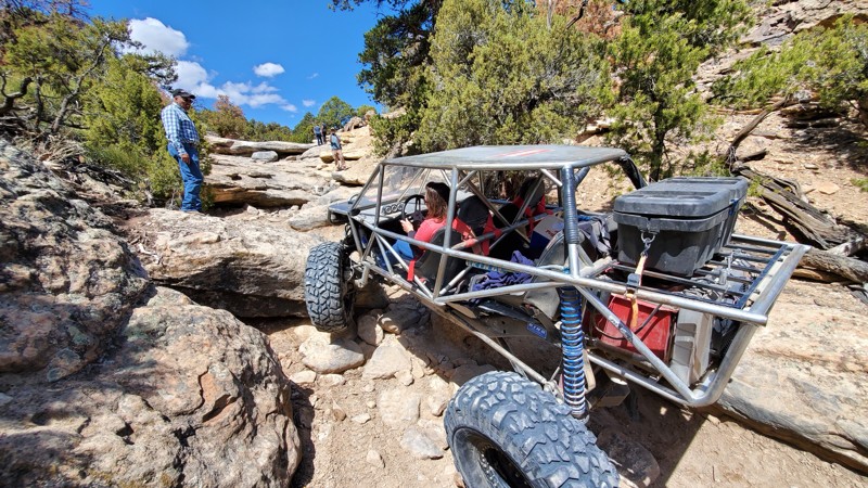
Offering amazing campsites with spectacular views of the Gore Range of mountains, Muddy Pass traverses from Vail to Wolcott, Colorado. This easy trail also accesses innumerable hiking trails and more challenging 4WD routes along its 30-mile stretch.

Updated: 03/04/2024
Billings Canyon
Open
/
Grand Junction, Colorado/
3.85 miles/
About 3 hours
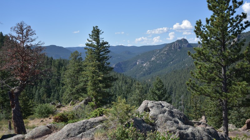
Located on the western slope of Colorado near Grand Junction, Billings Canyon Jeep Trail is an extreme trail for purpose-built vehicles. This hardcore offroad trail will test the limits of both man and machine as you work through a narrow one-way canyon within the Bang Canyon Management Areas. The Grand Mesa Jeep Club built the trail in the early 2000s in partnership with the BLM and other 4x4 enthusiasts. Big tires and big suspension are a must to traverse through the relentless onslaught of massive boulders, tall ledges, and deep holes.
Updated: 06/15/2024
Button Rock
Estes Park, Colorado
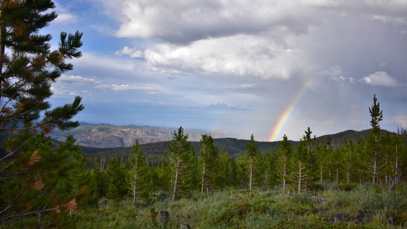
Located near the base of Button Rock Mountain, this forest service road offers a comfortable offroad venue appropriate for an afternoon getaway or a weekend camping excursion. With stunning views of the Front Range Valley and Coulson Gulch, Button Rock Road has a pleasant mixture of forested and open terrain. This route is popular with mountain bikers, hikers, and off-roaders alike.
Updated: 06/09/2024
Crown Point Road
Laporte, Colorado
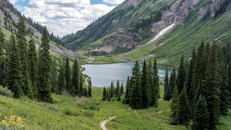
Crown Point Road leads into the heart of the Comanche Peak Wilderness. This road offers access to more than 100 miles of wilderness hiking trails in an area that borders the northern boundary of the Rocky Mountain National Park. The surrounding forest is rich with old-growth pine trees, so finding nature's ruggedness is easily accomplished along this route. Remnants of a 1943 World War II-era B-17 crash can be found south of Crown Point on the near-by hiking trails. Excellent dispersed camping is abundant, and the rippling sounds of nearby Bennett Creek will add to a peaceful experience.
Updated: 05/30/2024
Lower Gold Camp Road
Colorado Springs, Colorado
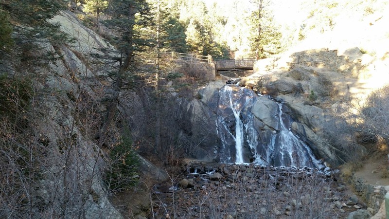
Lower Gold Camp Road is a gorgeous route that travels through a breathtaking pine-carpeted area close to Colorado Springs that is rich in scenery and railroad history. As travelers drive through this beautiful area, make sure to stop and visit Helen Hunt Falls, located approximately 200 yards southeast of the southern trailhead. This gorgeous little 36 foot tall waterfall is framed by a small bridge over the top of the falls that leads up a short but steep hike to reach Silver Cascade Falls. The falls are named in honor of Helen Maria Hunt-Jackson, a United States poet and writer who became an activist on behalf of improved treatment of Native Americans by the U.S. government. The Lower Gold Camp area is the location of many scenic hiking and mountain biking trails. The route of Lower Gold Camp Road traverses 2.5 miles of what was once the location of the Colorado Springs and Cripple Creek District Railway Company's railroad line connecting the city of Colorado Springs with the gold fields of Cripple Creek and Victor. The rail line originally opened for steam locomotive service April 8, 1901 and was advertised as the shortest possible route to the gold fields. Soon after it was given the name "The Short Line." After World War I the Short Line was forced sold as a result of dwindling income from the passenger and freight service. It was purchased by a Colorado Springs capitalist named W.D.Corley who in 1926, opened the route as a toll road for vehicle travel and renamed it the Corley Mountain Highway. It was renamed The Gold Camp Road in 1939 and today is maintained for free, public travel by the US Forest Service, Teller County, and El Paso County.
Updated: 07/23/2024
Gothic Road
Crested Butte, Colorado
Located within the Gunnison Nation Forest and passing through one of the most scenic and accessible valleys in Colorado, Gothic Road is a popular paradise for sightseers, photographers, and recreationalists of all varieties. Traveling this road is an unforgettable experience as you meander through the valley with panoramic views sandwiched between towering peaks such as Mount Baldy, Mount Bellview, Gothic Mountain, Avery Peak, and White Rock Mountain. Often flanked by wildflowers during the summer, this already picturesque trail becomes even more vibrant in the fall when vast groves of aspen trees ignite into a blaze of golden hues, contrasting with the deep greens of surrounding evergreens. Gothic Road offers an intimate glimpse into the untamed beauty of the Rocky Mountains and leaves you awestruck and speechless.

Upgrade your Membership
Unlock all of the details on every Trail Guide and Scout Route.
Start a 7-day Free TrialBrowse Trails in Colorado by City
Browse every Colorado city with offroad trail guides.
Community
Partners

