













By clicking "ACCEPT", you agree to be the terms and conditions of each policy linked to above. You also agree to the storing of cookies on your device to facilitate the operation and functionality of our site, enhance and customize your user experience, and to analyze how our site is used.
Colorado Off-Road Trails
602
Total Trail Guides 575

6450
Detailed Waypoints 568
Try a Free 7-Day Trial and unlock it all
Start a Free Trial Most Recent Trail Reviews
Rated 5/5
Open
Visited: 09/23/2026
We frequent this route probably once a week from GoG to Woodland Park. Be very careful on the blind curves - no shortage of knuckleheads driving way too fast (a biker was struck fatally in June). Us...

TC
Tim Crane
Rated 5/5
Open
Visited: 09/22/2026
Scenic road connecting to other alpine loop trails. it's not very technical or hard. but if you don't prefer shelf roads, maybe that can be considered hard. Red Mountain peaks are awesome. the scenery...


Mustafa ParDane
Official Crew
Rated 5/5
Open
Visited: 09/22/2026
Besides the shelf roads, there is not other bug obstacle or anything technical. As always, it has really good views :)


Mustafa ParDane
Official Crew
Rated 5/5
Open
Visited: 09/22/2026
Views are awesome as always with any alpine loop trails. There is a very short hike at the summit that takes you to even higher point with better views. Lake Como looks very good from there.


Mustafa ParDane
Official Crew
Rated 5/5
Open
Visited: 09/22/2026
Started from Lake City as most people recommend running the alpine loop clockwise. I think that was a wise choice because I didn't have a lot of ongoing traffic. The views are awesome and they start r...


Mustafa ParDane
Official Crew
Rated 5/5
Open
Visited: 09/22/2026
Tough trail, lots of technical spots throughout. Dont attempt solo or with any kind of stock truck!


Greg Dermann
Rated 4/5
Open
Visited: 09/22/2026
Just a dirt road with lots of potholes. Nothing technical. Drove this up to the 401 Trailhead to bike. Pretty busy with folks camping and leaf peeping. Overall it is in a pretty area and theres good c...



Davis McPherson
Rated 4/5
Open
Visited: 09/22/2026
Ok I have not run that trail in the last 4 years. I don't recall it looking like the photos. Did it recently get this way (rock garden) and get the difficult rating?
C
coyoteslocos
No Rating
Temporary Closure
Visited: 09/21/2026
Sign at the bottom of the hill says road construction but when you get to the turn off it is blocked.
PD
Paul Dixon
Rated 5/5
Open
Visited: 09/21/2026
Ran the trail from Westcliff side over the pass and into Great Sand Dunes NP. Had great weather. Don't think it had rained much in the days prior. So, the trail was dry. Think the difficulty ratin...



Stephen
Rated 5/5
Open
Visited: 09/21/2026
Id put it at a 3 some larger rocks mud and shelf roads: beautiful trail. Highly recommend.


Brian mckie
No Rating
Open
Visited: 09/21/2026
There is an area towards the end of this trail not long before it opens into the meadow that is very shaded and has become a mud hole. Well, somebody with a vehicle not capable enough to get through i...

Curt Greeley
Rated 5/5
Open
Visited: 09/20/2026
Ran this trail for the first time on 9/20/26. Absolutely stunning views and the leaves were almost at peak. This might be my new favorite trail to run during this time of year. Not difficult, but long...



Jack Mackie
Rated 4/5
Open
Visited: 09/20/2026
I wanted to run this trail on my way out from the gulches area but when I got down to the first stream crossing it had a few large logs placed in it. Im not sure if this is for traction or what, but I...
Jack Mackie
Rated 5/5
Open
Visited: 09/20/2026
First time out here and I ran this alone on 9/20/26 coming back from Old Stage 220. Took Sportsman Rd to get to 220 so I decided to take this to trail to get back to Cedar Mtn Rd. This is more fun tha...
Jack Mackie
Rated 5/5
Open
Visited: 09/20/2026
This is one of my favorite trails. I like to start at St. Mary's and run it in reverse lf this trail guide. I prefer to take most of the steep sections downhill, but if you want a fun challenge, then ...


Tim
Rated 5/5
Open
Visited: 09/20/2026
Ran this on 9-20-26 up to the Phoenix rocks. WK2 3" lift on 33's. Never been in this area before but I have read many of the reviews on here about the gulch trails. I was alone and the phoenix rocks w...

Jack Mackie
SH
Sharon Hansen
Rated 5/5
Open
Visited: 09/20/2026
Maiden voyage for my stock suspension 1994 Wrangler. The trail was surprisingly rocky in the beginning. Beautiful views and not too much traffic.
SH
Sharon Hansen
Rated 2/5
Partially Open
Visited: 09/20/2026
While there were some aspen views, this is not the best place to find them. Most of the views of the surrounding area are obscured by pine trees that are close to the road. Many of the overlooks are o...
MG
Mike Gerdts
Rated 4/5
Open
Visited: 09/20/2026
We enjoyed the trail. Beautiful scenery. Definately narrow in some areas. The terrain itself wasn't so difficult. Clearence is needed for some of the rocks in the trail.


Lisa Johnson
Rated 4/5
Open
Visited: 09/19/2026
Ran it in a 157"WB F150 on 33's, and would probably run it in a passenger car. Great views, easy climb and the switchbacks were totally navigable in a fullsize. Some of the roads on top are more app...
J
Justin
Rated 5/5
Open
Visited: 09/19/2026
The last descent at the end is kind of muddy so take it extra slow.



Joshua Scurran
Rated 5/5
Open
Visited: 09/19/2026
Ran east to west. The ascent at waypoint 14 has been cleaned up considerably - not sure if this was the work of the recovery crew we passed who were headed up Mt Baldy road, but it was much less rocky...

Jeff Dew
JG
Joseph G Botthof III
No Rating
Temporary Closure
Visited: 09/19/2026
Following up on Ryan's post, multiple incidents have occurred of vehicles sliding off the trail at washouts. CO4x4RNR was up yesterday recovering a vehicle, and we were told the trail will remain clo...

ERIC D BROWN
Rated 5/5
Open
Visited: 09/19/2026
Epic views at the top make this in and out road a must see on my list. Shelf roads with a few areas for passing. Switchbacks and 12"-18" boulders in only a few places to navigate. 4wd and good clearan...



Desi
Rated 5/5
Open
Visited: 09/19/2026
Expect closures Sept 21-24 for pipeline maintenance starting near the trestle. Perhaps related, there’s a rusty 4-6” pipe sticking out of a puddle near the trailhead at the top.
It’s been a bit rai...

MG
Mike Gerdts

Kirk Kneezle
Kirk Kneezle
Kirk Kneezle
WH
William Harkcom
No Rating
Temporary Closure
Visited: 09/18/2026
Forest Service has closed the trail due to washout damage. No ETA yet on fixes or reopening.


Ryan Boudreau
Official Crew
No Rating
Open
Visited: 09/18/2026
Only drove it to the Chinns Lake cutoff, but that part was in great condition. They've recently laid down new gravel on the lower portion in the neighborhood, it is super smooth.
S
Scott
No Rating
Open
Visited: 09/18/2026
Great condition. Only tough spot is some deep holes just before you get to the lake, otherwise it's easy. The mud holes are deeper than I remember, but it's been raining quite a bit. Lake is very, ...
S
Scott
No Rating
Open
Visited: 09/18/2026
We ran it downhill from the Miner's Gulch area. It's an easy descent thru the forest, a few rocks here and there, nothing major. Nice view of the aspens and rain clouds moving thru the area. Decent...
S
Scott
No Rating
Open
Visited: 09/18/2026
Mostly moderate, but a few spots are pretty rough with unavoidable and awkwardly placed boulders - stock vehicle are likely to hit their rocker panels. Good approach angles and rock sliders are your...
S
Scott
Rated 5/5
Open
Visited: 09/18/2026
Trail is in great condition, views from the top are magnificent.
S
Scott
Rated 4/5
Open
Visited: 09/18/2026
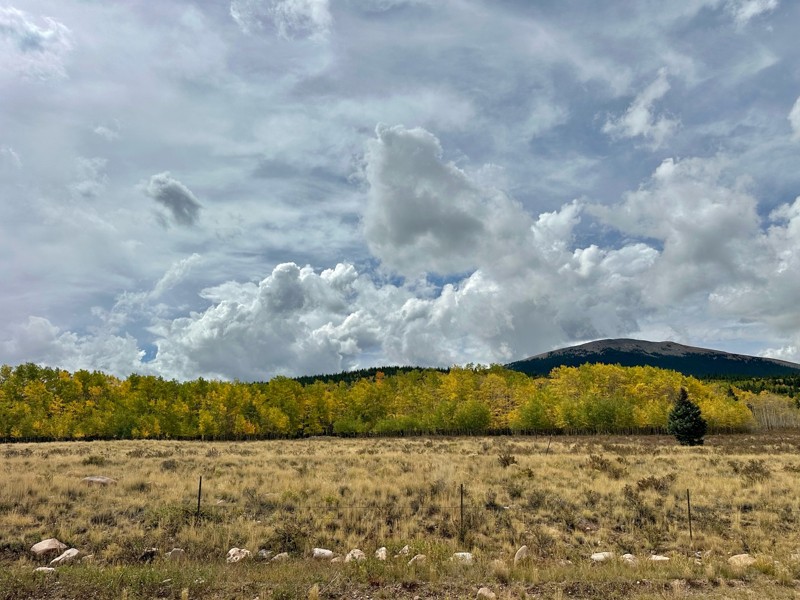
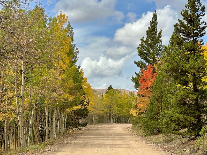
Went up for the aspens and I’d guess, for the most part, they’re maybe a few days past peak. Ran it in “reverse” starting from the east trailhead and there was still plenty of good color to see. Close...

Scott Bram
Rated 5/5
Open
Visited: 09/18/2026
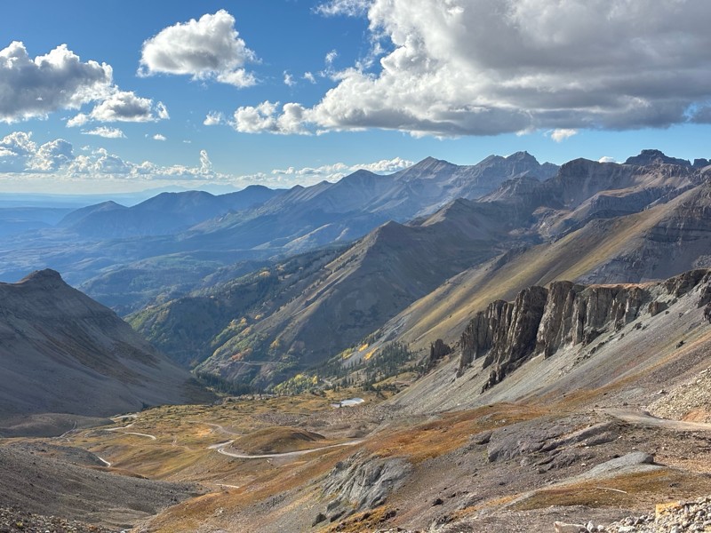
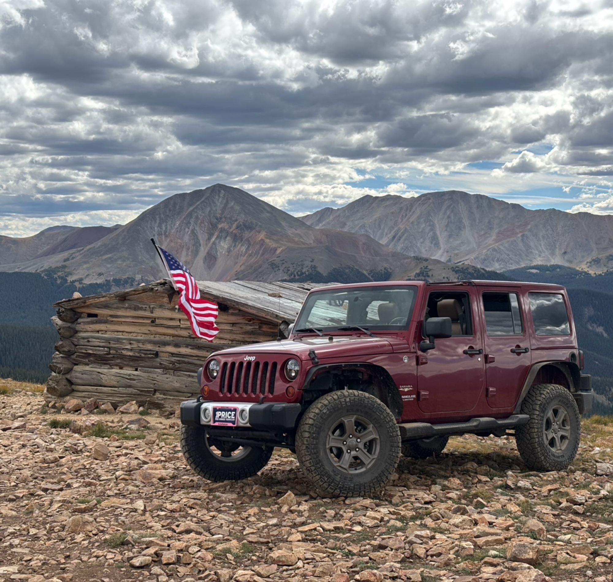
Ran the trail starting in Telluride on Friday the 18th. The trail is open the whole way through to Ouray. Very little dust thanks to all of the rain lately made our first time on Imogene very pleasant...
Matthew Stef
Rated 5/5
Open
Visited: 09/18/2026
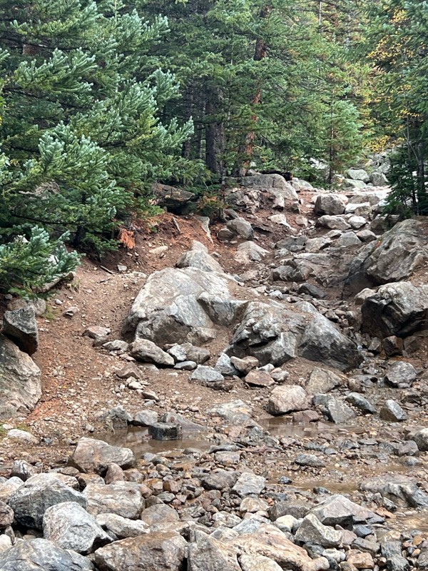
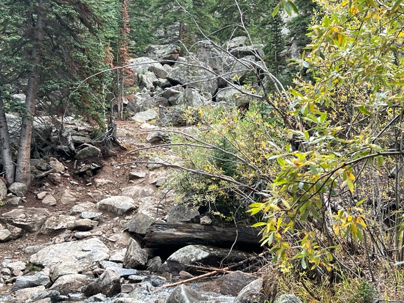
Fantastic views. Great time of the year to go - less likely to need to pass other vehicles on some steep ascents. The “gatekeeper” obstacle and narrow (no room to pass) sections are the major conside...
TK
Tarik Khatib
Rated 5/5
Open
Visited: 09/18/2026
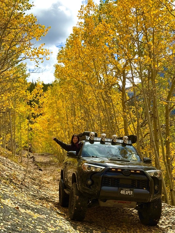
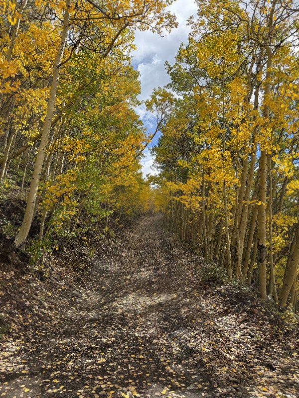
We honestly didn’t mean to take this road but ended up on this road on accident looking for a way to get from Georgia pass to Breck. The colors were amazing!! We came east to west so we were heading d...
V
Vince
Rated 5/5
Open
Visited: 09/18/2026
Beautiful trail. Fun whoops and a pretty rocky section. Would definitely recommend not taking the family sedan.
Wade Williams
Rated 5/5
Open
Visited: 09/18/2026
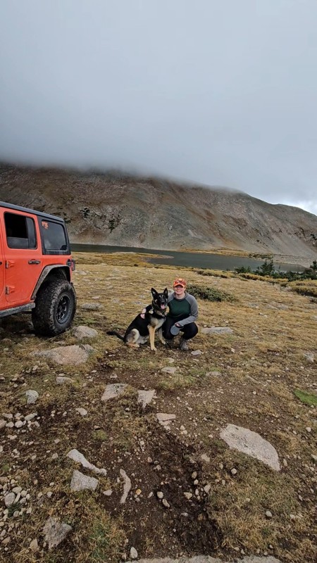
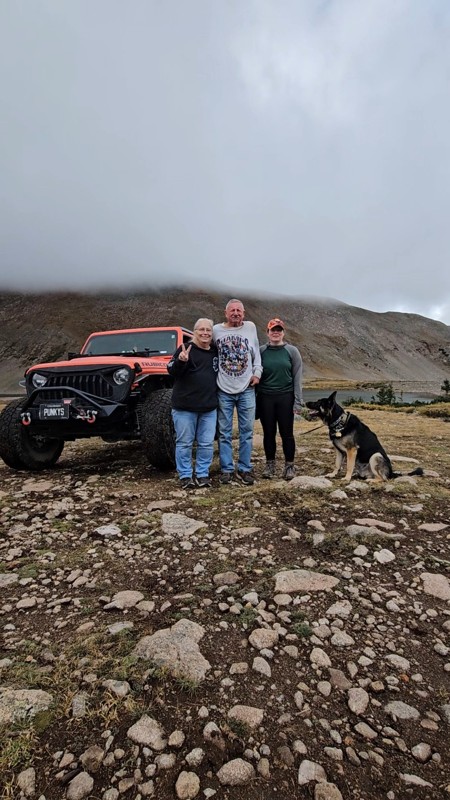
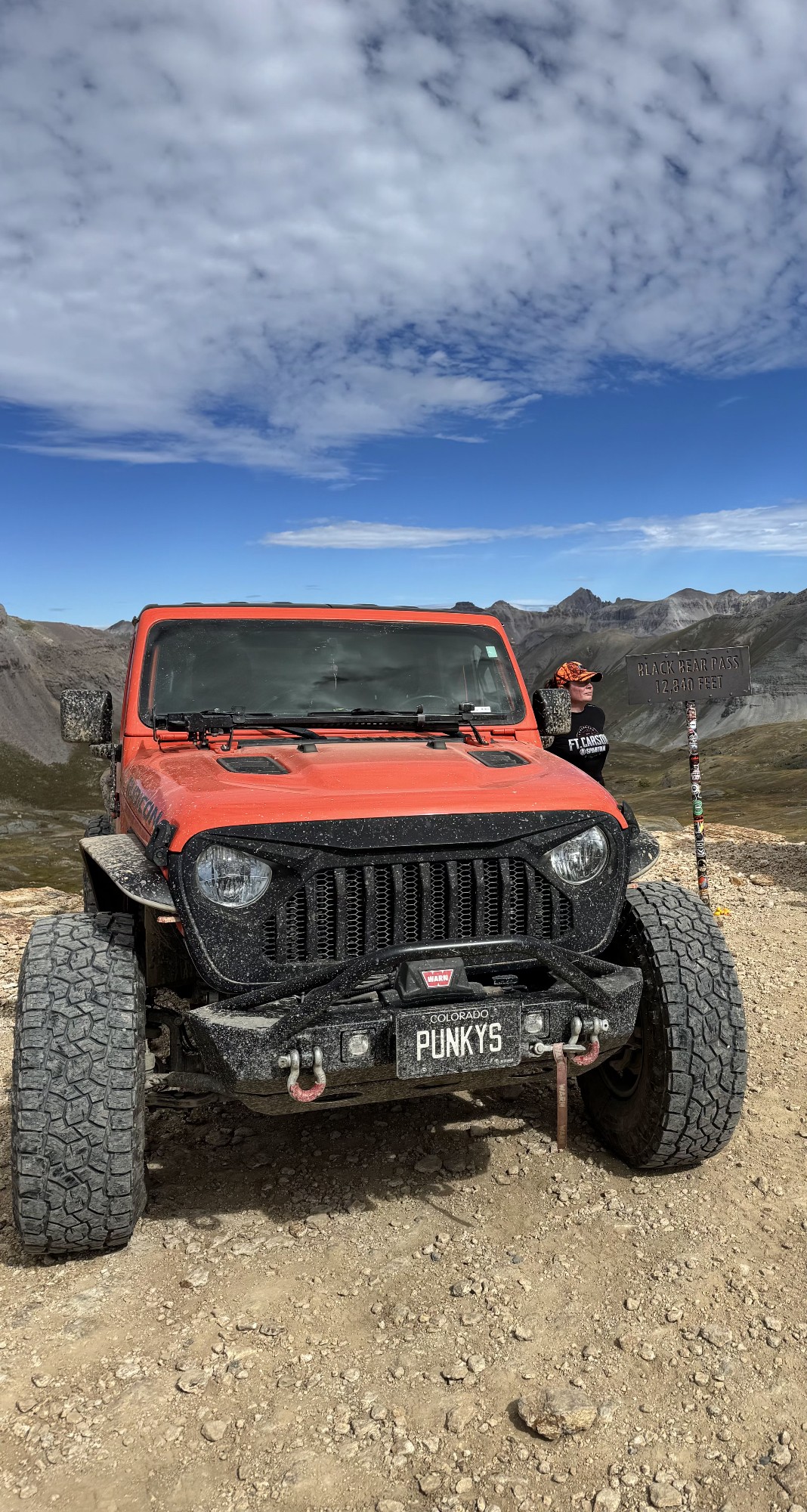
Super fun trail! Good mix of choosing some lines depending on clearance but nothing crazy or scary feeling. Moody views, but I prefer it that way.
Tamara Gold
No Rating
Open
Visited: 09/17/2026
Did this from East to West and it was a fine leaf peeping drive.
SB
Seth Burmeister
No Rating
Open
Visited: 09/17/2026
17 Jeep Renegade FWD, Stock size All Terrain tires 225/55R18
Scraped the bottom once on a rutted out area but simple tire placement would avoid that. After the Waterfall (waypoint 10) due to it rainin...
SB
Seth Burmeister
No Rating
Open
Visited: 09/17/2026
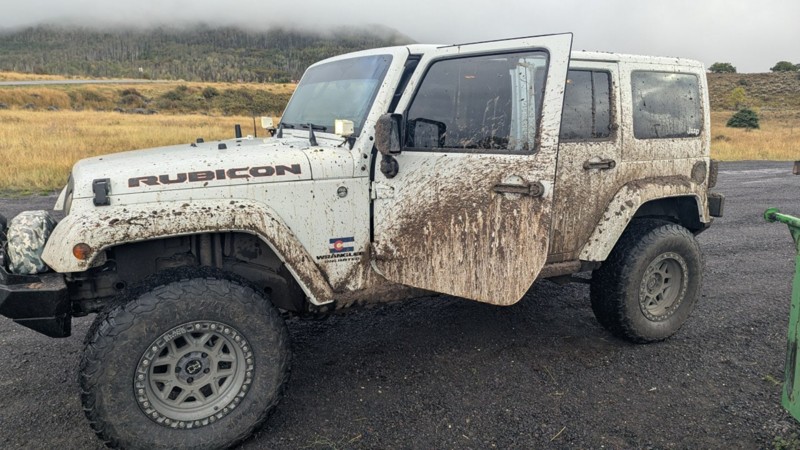
trail is an all day adventure. we took 5 hours to traverse the 8 miles of the trail in a constant rain. lots of mud and very rocky boulder fields keep you moving slow and slipping over the rocks.

Gregory A Hatch
No Rating
Open
Visited: 09/17/2026
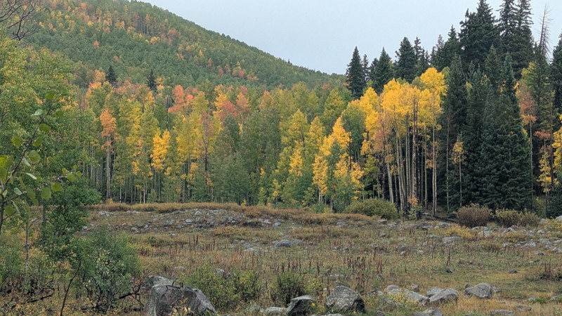
Fantastic trail in the Fall with numerous Aspen groves. Love the varied terrain.
DP
David P Miller
Most Popular
Updated: 07/17/2026
Cumberland Pass
Pitkin, Colorado
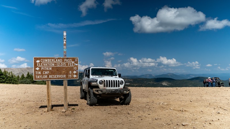
Expansive views of the Collegiates, Napolean Mountain, Green Mountain, Terrible Mountain, and rugged peaks are everywhere you look. Cumberland Pass packs big views of Colorado's mountains and connects two of the most quaint little towns around in Tin Cup and Pitkin while making its way all the way down to Taylor Park and Reservoir. People flock from all over the country for a summer vacation in this area of Colorado, and once you experience it yourself, you will know why.
Cumberland Pass is part of the famous Miners Loop that includes Tincup Pass and Hancock Pass and a wonderful route for overlanding on a summer Colorado weekend!
Updated: 06/11/2025
U.S. Basin
Silverton, Colorado
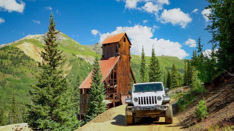
In the heart of the Red Mountain Mining District, there are mines dotted all over this trail. Some are famous, while others were mere blips in an exercise of futility of those seeking to make a fortune during the silver boom that lasted from 1882 to 1893. The boom commenced right on this trail in 1882, where you can visit the famous Yankee Girl Mine. Yesteryears mining exploits are responsible for all of the roads in this area and U.S. Basin, also known as Red Mountain Pass, packs in the history, but also the amazing views of the San Juan Mountains, which some call the Switzerland of America
Updated: 08/13/2025
Blair Mountain
Glenwood Springs, Colorado
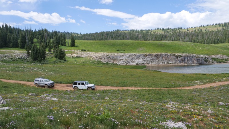
Blair Mountain is situated in the White River National Forest, but potentially more known by the region's moniker as the "Flat Tops". Once you find yourself at one of the highest points in this mountainous region of Colorado, you will understand the name. It is comprised of lots of high altitude plateaus, mesas, rolling hills/valleys, and meadows. Its unique geological makeup of being relatively flat at a high altitude allows for an abundance of water retention. There are numerous lakes, ponds, creeks, and marshes along Blair Mountain. Of course with lots of water comes lots of vegetation. This area might be one of the most impressive wildflower displays Colorado has to offer. The actual trail lies on National Forest land that outskirts the Flat Tops Wilderness Area and overlooks the 235,000-acre parcel of land only accessible by foot. In 1919, Arthur Carhart was sent to the area to survey it as a site for summer homes. He was so struck by the landscape that he informed his superiors the land should be set aside, protected, and preserved. He spoke so passionately about the subject that he and the area are credited with sparking the ideas fundamental to the Wilderness Act of 1964. It is for this reason the Flat Tops region is known as “the Cradle of Wilderness”. This track is a technical overlander's dream trail. Its remote location, natural beauty, and plentiful camping/fishing/hiking opportunities will make you want to come back over and over again. Forest Roads jut out in almost every direction, fostering the potential for exploration to be as much or as little as you like. Once you set your wheels on the trail and pitch your tent atop a ridge or by a pristine mountain lake, you may never want to leave.
Updated: 06/22/2024
Cedar Mountain Road
Divide, Colorado
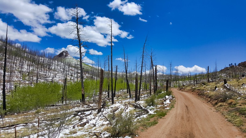
Cedar Mountain Road near Divide, CO, is a poignant journey through the 138,000-acre burn area of the 2002 Hayman Fire. The land is finally showing signs of life two decades after the devastating event. Skeletal trees punctuate the landscape, their blackened trunks standing as stark reminders of the fire's fury. They now guard lush patches of forest floor and ambitious saplings. Sweeping views of this regrowth, framed by Colorado's azure skies, create an awe-inspiring backdrop for the drive. With the mild off-roading terrain and stunning scenery, this trail is an unforgettable Colorado experience.
Updated: 07/30/2024
Flake Road aka Illinois Gulch
Westcreek, Colorado
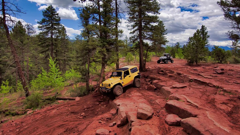
Just north of Woodland Park, Flake Road is a bucket-list item for Wheelers in Colorado. It's a well-used trail that has, over time, branched different paths, each providing a unique challenge. The main attraction is "Mini-Moab," known for its Utah-like red rock formations. It's a significant, formidable obstacle that offers varying degrees of difficulty over large boulders and shelves, drawing off-road enthusiasts from all corners of the state. Part of the 15 square mile Rainbow Falls Trail Network in Pike National Forest, Flake Road is a popular spot open all year and can be busy in the summer with people testing the rigs. So, if you're up for a thrilling ride coupled with stunning views, Flake Road is your destination.

Updated: 09/10/2025
Bald Mountain Gulch
Open
/
Johnson Village, Colorado/
8.64 miles/
About 2 hours
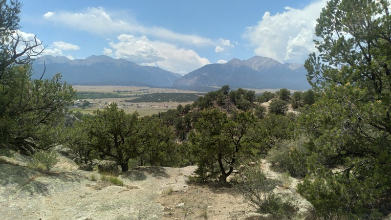
Bald Mountain Gulch (FS Road 300) is a 4WD road in the Fourmile area of Colorado, southeast of Johnson Village. It traverses scenic, high-elevation terrain in a northeast to southwest track. It provides the 4x4 enthusiast spectacular rock formations, sandy terrain, and occasional tawny rock and forest-framed views of the Arkansas River valley and the Collegiate Peaks. There are numerous 4WD roads in the vicinity, making Fourmile an ideal destination for a weekend of 4x4 trails, dispersed camping, hiking, and fishing not far from Denver or Colorado Springs. Bald Mountain Gulch is recommended to drive in conjunction with Bald Mountain Loop.
Updated: 07/14/2024
Deer Creek
Montezuma, Colorado
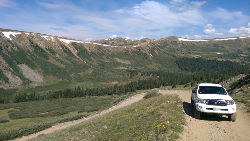
Deer Creek 4WD trail is the easiest of the trails heading out of Montezuma. It works its way south up the valley and summits at the Continental Divide, connecting with a few other popular 4WD trails in the high alpine tundra.
Updated: 07/05/2024
SOB Hill
Breckenridge, Colorado
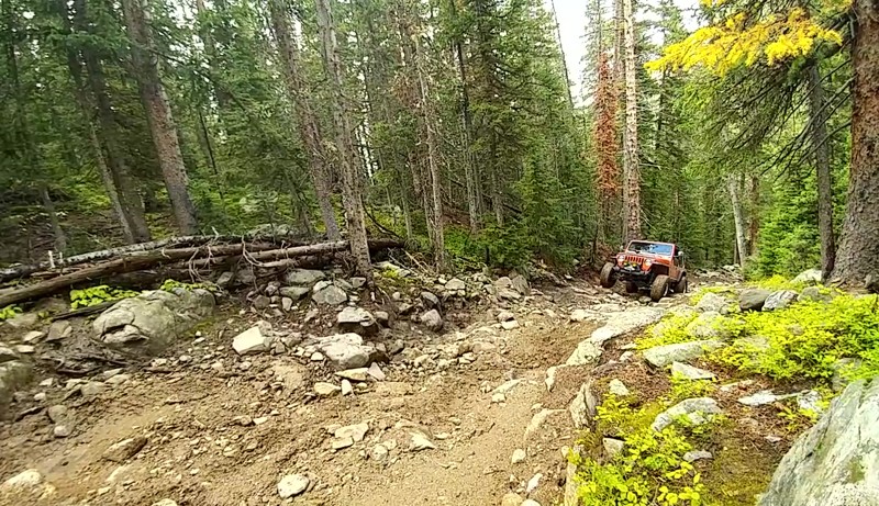
SOB Hill is a great off-road trail that is a more difficult bypass of the west side of Georgia Pass. It takes you up a steep hillside with a large section of boulders formally known as SOB Hill, giving this trail its name. This route is also referred to as Trail 10 but due to the nature of the obstacles as the trail grew in popularity the name changed. After the challenge, you continue climbing up the Continental Divide's west side until you reach the peak of Georgia Pass. From here at an elevation of more than 11,600 feet, you can see the entire South Park Valley all the way to Longs Peak and most of the White River National Forest.

Updated: 11/12/2025
Aspen Ridge
Salida, Colorado
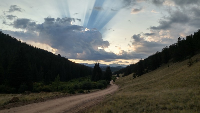
Stretching between Buena Vista and Salida, Aspen Ridge is a drive that feels like pure Colorado magic. The road winds along a high ridge where endless stands of aspen trees fill the landscape with color, sound, and light. In late summer, the groves shimmer with deep green leaves that flutter like rainfall in the breeze. Come autumn, those same trees explode into glowing gold, wrapping the entire ridge in a warm, ethereal light that turns every curve into a postcard moment.
Camping along Aspen Ridge is an experience you’ll never forget. Many of the best spots are tucked right among the aspen groves, where you can wake up to sunlight filtering through golden leaves and the soft sound of the forest coming alive. Others open out to sweeping views of the Collegiate Peaks and the Arkansas Valley, offering perfect places to sip coffee as the morning mist lifts.
Whether you’re here for the fall colors, the quiet summer air, or simply to escape the noise of everyday life, Aspen Ridge is where time slows down. It’s the kind of place that reminds you why Colorado’s backroads are worth exploring again and again.
Updated: 02/18/2024
Lost Park Road
Jefferson, Colorado
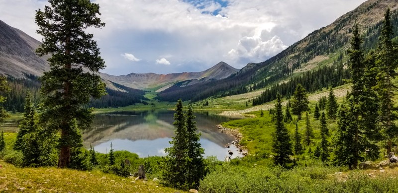
Lost Park Road is a gorgeous drive that follows the Lost Creek upstream taking you through several valleys and along the border of the Lost Creek Wilderness. It offers several different access points to the Colorado Trail, other hiking trails, and a network of more challenging 4x4 trails. Only an hour drive from Denver and open year-round, this trail is perfect for a day trip to see some great fall colors, viewing wildlife, snow wheeling, hunting, or a secluded weekend camping trip with endless areas to explore.
Updated: 06/30/2024
Grizzly Lake
Johnson Village, Colorado
Grizzly Lake is a difficult rock crawling trail that takes you over one demanding challenge at the start to steal your attention, and then never gives that attention back till the trail run is over. This trail combines all aspects of rock crawling into less than 3 miles. With ledge climbs, water crossings, shelf roads, off camber leans, and tight squeezes between trees, the trail finally rewards you for your courage by providing epic Rocky Mountain views at its ending point. Bring your camera, bring your fishing rod, but most importantly, bring a well equipped vehicle as the trek to Grizzly Lake is certainly an adventurous one.
Updated: 09/08/2025
Los Pinos - Cebolla Pass
Lake City, Colorado
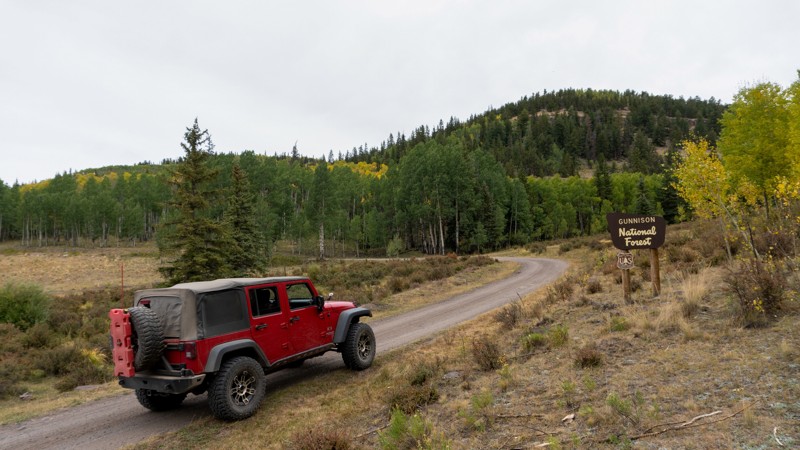
Los Pinos-Cebolla Pass is a 40-mile stretch of dirt road that splits through the impressive Powderhorn and La Garita Wilderness areas. It is often used when overlanding across Colorado, and you can see why with its plethora of pines, aspens, open meadows, and running crystal clear mountain water. Offering plenty of dispersed or designated camping, this road is good for a solid night's rest when traveling a long distance. This trail is situated mainly in the Gunnison Ranger District of the Grand Mesa, Uncompahgre, and Gunnison National Forests, totaling over three million acres of recreational opportunities. When looking for a good campsite or more miles of dirt, Los Pinos-Cebolla Pass is a good option.
Updated: 07/05/2024
Old Stage Road
Colorado Springs, Colorado
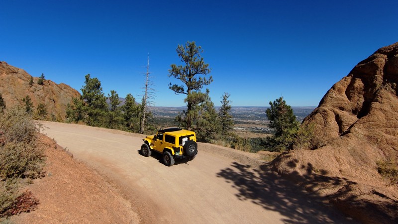
Just a short drive from the city of Colorado Springs lies Old Stage Road, a well-known road that leads you into the heart of the stunning Pike National Forest, eventually connecting to the famous Gold Camp Road. This route is a favorite for its incredible views of Colorado Springs, acting as a doorway to the historic railway trail that winds its way to Cripple Creek and the popular off-road trails along Gold Camp Road like Eagle Rock and Saran Wrap.
Old Stage Road is a perfect trail for those looking to dive into nature and explore the fascinating tales of the local gold rush era. It is easily accessible for a day trip or a spontaneous outdoor adventure. This is a must-visit for anyone eager to experience the beauty and history of the area surrounded by the great outdoors.
Updated: 07/12/2024
Caribou Creek (South)
Nederland, Colorado
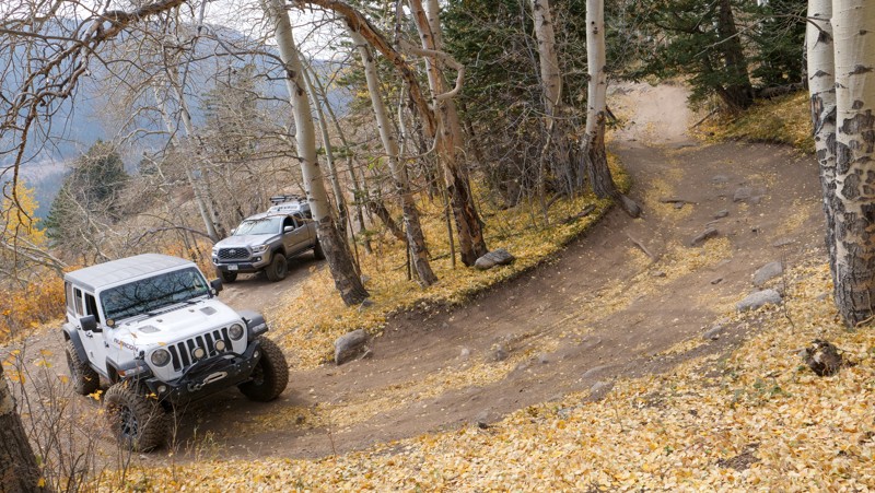
Caribou Creek is situated just north of the sleepy town of Eldora in the Arapaho/Roosevelt National Forest. While the town of Eldora might be sleepy, the trail just above it will wake you up and get your heart racing pretty quickly! The trail ascends suddenly out of Eldora and you will soon encounter some extremely narrow, off-camber pitches that will test even the most experienced drivers nerves. Take in the scenery as you continue up the hill, as parts of the trail present some beautiful mountain vistas, showcasing some high elevation lakes and peaks out in the distance. This trail will take you up to the abandoned ghost town of Caribou, which was known for its rich silver mining in the late 1800s.

Updated: 03/02/2026
Kebler Pass
Open
/
Crested Butte, Colorado/
31.37 miles/
About 2 hours
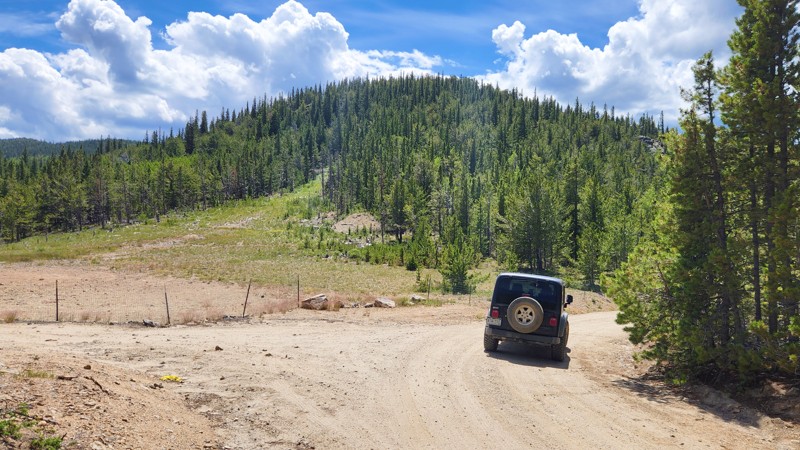
Part of the West Elk Loop Scenic Byway, Kebler Pass is a fantastic high-mountain pass that travels between Crested Butte and Paonia, over 10,007 feet above sea level. This busy dirt road traverses through one of the largest aspen groves in the country, providing spectacular fall color viewing as the surrounding forests burst into vibrant hues of red, orange, and gold. Kebler Pass is a seasonal road used to access many other recreational opportunities. It should be on everyone's "Do Not Miss" list if you are looking for incredible fall colors or epic mountain views.
Updated: 04/28/2024
Gamble Gulch
Rollinsville, Colorado
Located west of Colorado Highway 119 just south of Rollinsville, Gamble Gulch is in the heart of the historic Gilpin County mining area. Although not as productive and famous as its neighbors, Blackhawk and Central City, Gamble Gulch and Missouri Gulch boasted dozens of mines and supported the towns of Perigo, Gold Dirt, and Wideawake. This rich mining history is evident along the route. In addition, there are several connections into the extensive network of trails around Dakota Hill and Oregon Hill along the way, making this an important point of access to that network. Gamble Gulch provides a glimpse into a bygone era and is a jumping-off point for even more offroad adventure.

Updated: 03/16/2026
Lost Canyon
Granite, Colorado
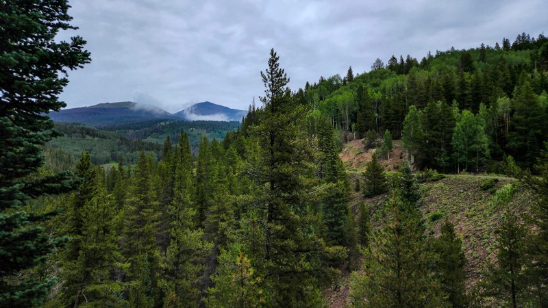
Situated in the San Isabel National Forest, halfway between Leadville and Buena Vista, Lost Canyon is a fantastic day drive for any 4wd vehicle. Home to some great primitive camping, this off-road trail delivers some of the best overall views you can find in the area. You can observe multiple, 14,000+ foot peaks on this drive and also gaze down on several of the largest bodies of water in the area including Clear Creek Reservoir, Twin Lakes, Mt Elbert Forebay, and even Turquoise Lake. During the fall, this trail provides spectacular aspen viewing because of the plethora of Aspen all along the trail. If scenery really isn't your thing, try your luck at gold panning and hope to strike it rich in the popular Cache Creek.
Updated: 06/08/2024
Marshall Pass
Sargents, Colorado
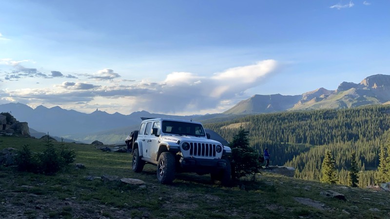
Crossing the Continental Divide and traveling between two National Forests, Marshall Pass was first a toll road before later becoming the first railroad route over the Continental Divide. This route was once considered a viable option for US 50, connecting Salida and Gunnison rather than Monarch Pass. Today, this gravel road still follows the old railroad grade and offers amazing views of mountain tops, meadows, lakes, fall foliage, and abundant wildlife.
Updated: 12/17/2024
Hermosa Park Road
Hermosa, Colorado
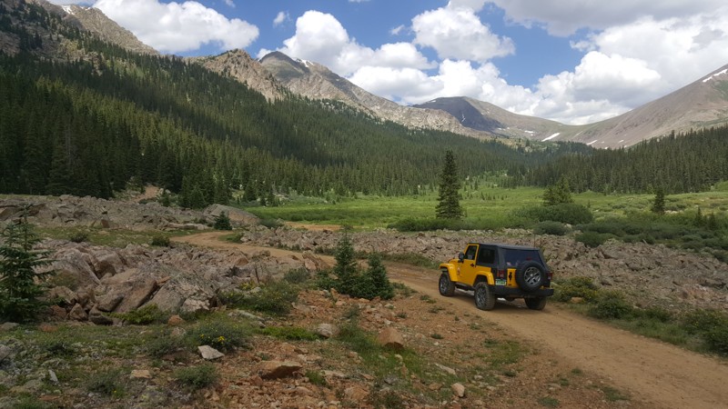
Hermosa Park Road provides a scenic shortcut from Durango to Telluride for those who'd rather avoid the smooth, well-traveled highway through Ouray and Silverton. Hermosa, Sig, and Barlow Creeks offer fishing and splashing while providing a fun fording opportunity when the water's up. The remote central portion of the trail has a small marshy lake, abundant wildlife, few other people, and EPIC views. You can access the Colorado Trail from a spur at the crest of Bolam Pass. There is a mining claim, an abandoned mine, and the old Barlow homestead near the trail's western end. Because this is such a remote location, there is no light pollution in the central portion of the trail. Stargazing is unsurpassed on clear nights.
Food and entertainment await you on the trail's eastern end at Purgatory Ski Resort. Many side roads and connectors take you to explore other parts of the San Juan mountains, especially in the east portion of the trail near Purgatory.
Updated: 06/30/2024
Chihuahua Gulch
Keystone, Colorado
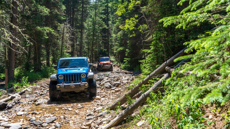
One of the more popular trails in the Keystone area, Chihuahua Gulch is used by 4x4’s, hikers and sometimes a little horse traffic will be seen. The first 2.1-miles of this trail is used by all, but the last four are for hiking only.
The scenery on this trail does not disappoint and packs a lot into a small trail. After the climb to the marsh, the views of the mountains open up as you look into the valley. With two stream crossings and a little rough rock here and there, this makes for a great trail for beginners and seasoned wheelers.
The Forest Service road once went to Chihuahua Lake, but is now blocked off. The hiking trail has been rated as moderate and shouldn’t be taken on by someone with no training. This is a great trail to pair with Warden Gulch (FS 265) for a day of off-roading.
Updated: 07/15/2024
Miners Gulch
Central City, Colorado
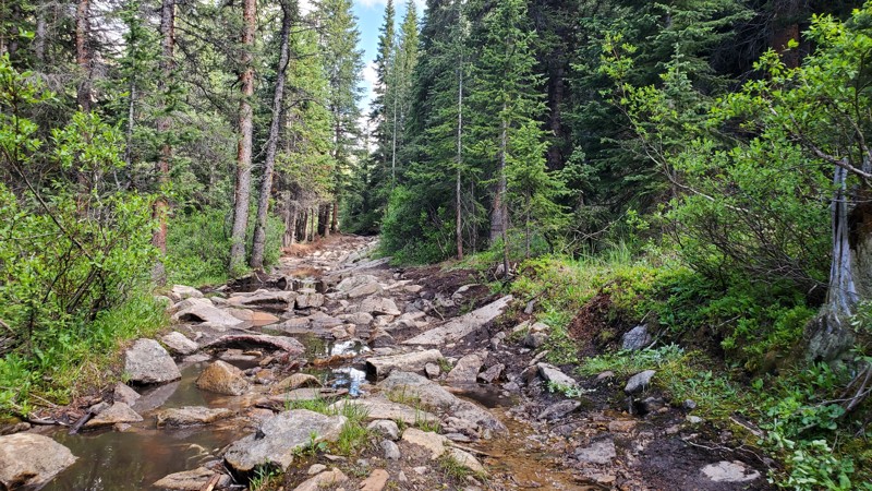
Situated in the Arapaho National Forest and close to Denver, Colorado, the Yankee Hill 4X4 network is filled with many four-wheel drive trails. Exploring further into the Yankee Hill area, you find gems, such as the Miners Gulch offroad trail. This trail is more difficult than most in the area, taking you deep into the forest, where the trail turns into a running stream for the last half mile. The trail gets its name from the miners of days gone by, but there are still active mining claims along the way.
Updated: 10/14/2024
Birdseye Gulch
Leadville, Colorado
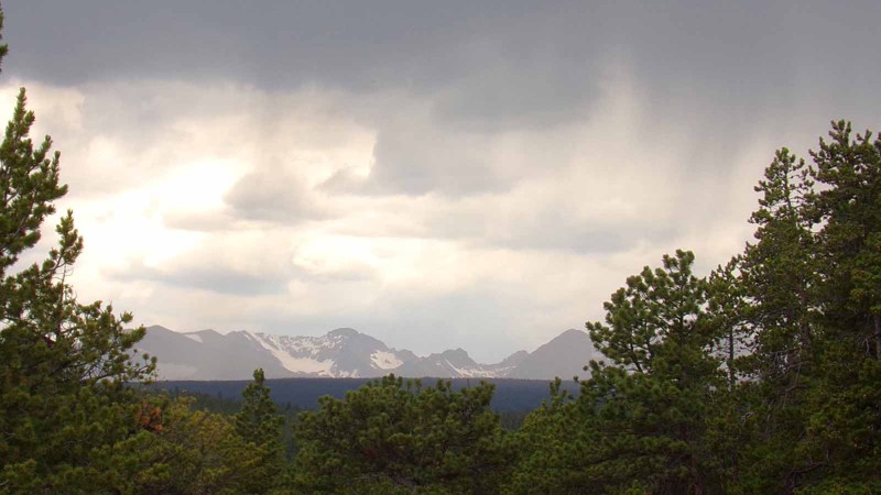
Located just outside of the highest incorporated city in the US, this off-road trail combines every feature of a classic Jeep road. Birdseye Gulch is narrow, rocky, and steep with standing water in places, creek crossings, gorgeous high alpine views, and even some mud. This trail is a more difficult side trip off of Mosquito Pass and a much more interesting route than taking the county road up from Leadville.
Updated: 07/11/2024
Gordon Gulch
Nederland, Colorado
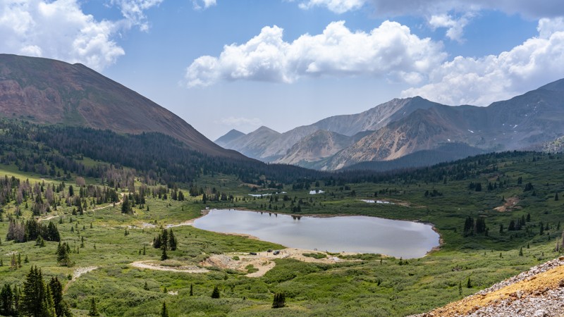
This easy trail west of Boulder, Colorado, is kind of a backdoor into the historic Switzerland Trail network. It boasts beautiful scenery and is a popular area for camping, hiking and mountain biking as well as 4-wheeling. Its proximity to the Denver Metro area makes it a good choice for a quick outing or it can be combined with the connecting and nearby trails to make a nice, relaxing day in the mountains. Since there is no seasonal gate, it also makes a nice snow run in the winter.
Updated: 04/30/2025
Billings Lake
Maysville, Colorado
Following the North Fork of the South Arkansas River to its origin beneath Pomeroy Mountain, Billings Lake is a stunning offroad trail providing a true Colorado backcountry experience. Rich with abundant camping, scenic views, historical landmarks, and plenty of activities to entertain outdoorsmen of all types, this slow-burning trail passes iconic hiking trails and world-class fishing lakes, culminating at a spectacular valley just beneath the iconic Pride of the West Tunnel. This Toll Tunnel connecting the Billings Lake Valley to the town of Hancock predates rail travel in the area by two years. The ornate stonework with the keystone engraved with "Pride of the West Tunnel 1880" was used as the backdrop by photographers taking pictures for prospective investors.

Upgrade your Membership
Unlock all of the details on every Trail Guide and Scout Route.
Start a 7-day Free TrialBrowse Trails in Colorado by City
Browse every Colorado city with offroad trail guides.
Community
Partners

