













By clicking "ACCEPT", you agree to be the terms and conditions of each policy linked to above. You also agree to the storing of cookies on your device to facilitate the operation and functionality of our site, enhance and customize your user experience, and to analyze how our site is used.
Colorado Off-Road Trails
602
Total Trail Guides 575

6450
Detailed Waypoints 568
Try a Free 7-Day Trial and unlock it all
Start a Free Trial Most Recent Trail Reviews
Rated 5/5
Open
Visited: 09/23/2026
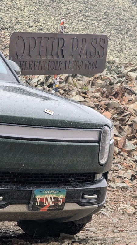
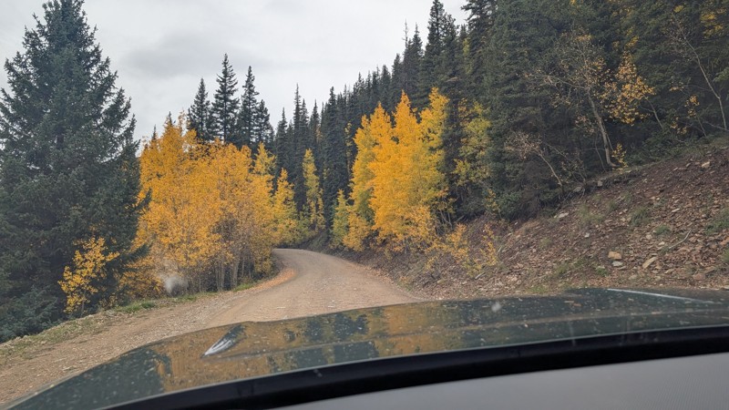
nice trail with good views. a classic in the San Juans... it's not quite as easy as 2 but not a true 3 either. Totally doable with a stock 4WD.


Mustafa ParDane
Official Crew
Rated 5/5
Open
Visited: 09/23/2026
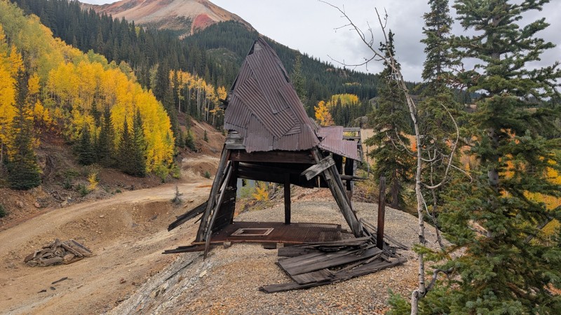
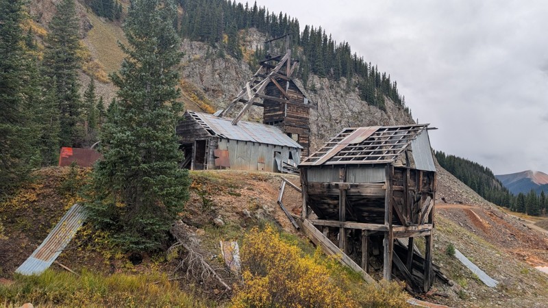
Nice fun easy trail! You will see lots of mines. I mean lots of them. If you are into it, this is the trail for you :)
Mustafa ParDane
Official Crew
Rated 5/5
Open
Visited: 09/23/2026
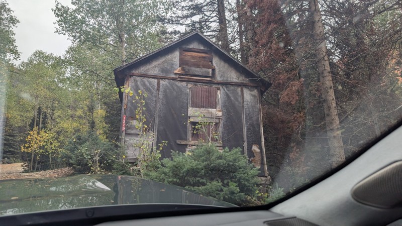
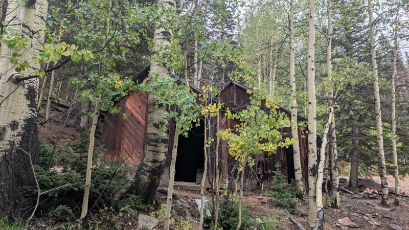
It's a steep climb all the way from the beginning to the top but there is no real obstacles. You will see some cool mines. And the views are awesome. You will see some good views of the Red Mountain p...
Mustafa ParDane
Official Crew
Rated 5/5
Open
Visited: 09/23/2026
We frequent this route probably once a week from GoG to Woodland Park. Be very careful on the blind curves - no shortage of knuckleheads driving way too fast (a biker was struck fatally in June). Us...
TC
Tim Crane
Rated 5/5
Open
Visited: 09/22/2026
Scenic road connecting to other alpine loop trails. it's not very technical or hard. but if you don't prefer shelf roads, maybe that can be considered hard. Red Mountain peaks are awesome. the scenery...

Mustafa ParDane
Official Crew
Rated 5/5
Open
Visited: 09/22/2026
Besides the shelf roads, there is not other bug obstacle or anything technical. As always, it has really good views :)


Mustafa ParDane
Official Crew
Rated 5/5
Open
Visited: 09/22/2026
Views are awesome as always with any alpine loop trails. There is a very short hike at the summit that takes you to even higher point with better views. Lake Como looks very good from there.


Mustafa ParDane
Official Crew
Rated 5/5
Open
Visited: 09/22/2026
Started from Lake City as most people recommend running the alpine loop clockwise. I think that was a wise choice because I didn't have a lot of ongoing traffic. The views are awesome and they start r...


Mustafa ParDane
Official Crew
Rated 5/5
Open
Visited: 09/22/2026
Tough trail, lots of technical spots throughout. Dont attempt solo or with any kind of stock truck!


Greg Dermann
Rated 4/5
Open
Visited: 09/22/2026
Just a dirt road with lots of potholes. Nothing technical. Drove this up to the 401 Trailhead to bike. Pretty busy with folks camping and leaf peeping. Overall it is in a pretty area and theres good c...



Davis McPherson
Rated 4/5
Open
Visited: 09/22/2026
Ok I have not run that trail in the last 4 years. I don't recall it looking like the photos. Did it recently get this way (rock garden) and get the difficult rating?
C
coyoteslocos
No Rating
Temporary Closure
Visited: 09/21/2026
Sign at the bottom of the hill says road construction but when you get to the turn off it is blocked.
PD
Paul Dixon
Rated 5/5
Open
Visited: 09/21/2026
Ran the trail from Westcliff side over the pass and into Great Sand Dunes NP. Had great weather. Don't think it had rained much in the days prior. So, the trail was dry. Think the difficulty ratin...



Stephen
Rated 5/5
Open
Visited: 09/21/2026
Id put it at a 3 some larger rocks mud and shelf roads: beautiful trail. Highly recommend.


Brian mckie
No Rating
Open
Visited: 09/21/2026
There is an area towards the end of this trail not long before it opens into the meadow that is very shaded and has become a mud hole. Well, somebody with a vehicle not capable enough to get through i...

Curt Greeley
Rated 5/5
Open
Visited: 09/20/2026
Ran this trail for the first time on 9/20/26. Absolutely stunning views and the leaves were almost at peak. This might be my new favorite trail to run during this time of year. Not difficult, but long...



Jack Mackie
Rated 4/5
Open
Visited: 09/20/2026
I wanted to run this trail on my way out from the gulches area but when I got down to the first stream crossing it had a few large logs placed in it. Im not sure if this is for traction or what, but I...
Jack Mackie
Rated 5/5
Open
Visited: 09/20/2026
First time out here and I ran this alone on 9/20/26 coming back from Old Stage 220. Took Sportsman Rd to get to 220 so I decided to take this to trail to get back to Cedar Mtn Rd. This is more fun tha...
Jack Mackie
Rated 5/5
Open
Visited: 09/20/2026
This is one of my favorite trails. I like to start at St. Mary's and run it in reverse lf this trail guide. I prefer to take most of the steep sections downhill, but if you want a fun challenge, then ...


Tim
Rated 5/5
Open
Visited: 09/20/2026
Ran this on 9-20-26 up to the Phoenix rocks. WK2 3" lift on 33's. Never been in this area before but I have read many of the reviews on here about the gulch trails. I was alone and the phoenix rocks w...

Jack Mackie
SH
Sharon Hansen
Rated 5/5
Open
Visited: 09/20/2026
Maiden voyage for my stock suspension 1994 Wrangler. The trail was surprisingly rocky in the beginning. Beautiful views and not too much traffic.
SH
Sharon Hansen
Rated 2/5
Partially Open
Visited: 09/20/2026
While there were some aspen views, this is not the best place to find them. Most of the views of the surrounding area are obscured by pine trees that are close to the road. Many of the overlooks are o...
MG
Mike Gerdts
Rated 4/5
Open
Visited: 09/20/2026
We enjoyed the trail. Beautiful scenery. Definately narrow in some areas. The terrain itself wasn't so difficult. Clearence is needed for some of the rocks in the trail.


Lisa Johnson
Rated 4/5
Open
Visited: 09/19/2026
Ran it in a 157"WB F150 on 33's, and would probably run it in a passenger car. Great views, easy climb and the switchbacks were totally navigable in a fullsize. Some of the roads on top are more app...
J
Justin
Rated 5/5
Open
Visited: 09/19/2026
The last descent at the end is kind of muddy so take it extra slow.



Joshua Scurran
Rated 5/5
Open
Visited: 09/19/2026
Ran east to west. The ascent at waypoint 14 has been cleaned up considerably - not sure if this was the work of the recovery crew we passed who were headed up Mt Baldy road, but it was much less rocky...

Jeff Dew
JG
Joseph G Botthof III
No Rating
Temporary Closure
Visited: 09/19/2026
Following up on Ryan's post, multiple incidents have occurred of vehicles sliding off the trail at washouts. CO4x4RNR was up yesterday recovering a vehicle, and we were told the trail will remain clo...

ERIC D BROWN
Rated 5/5
Open
Visited: 09/19/2026
Epic views at the top make this in and out road a must see on my list. Shelf roads with a few areas for passing. Switchbacks and 12"-18" boulders in only a few places to navigate. 4wd and good clearan...



Desi
Rated 5/5
Open
Visited: 09/19/2026
Expect closures Sept 21-24 for pipeline maintenance starting near the trestle. Perhaps related, there’s a rusty 4-6” pipe sticking out of a puddle near the trailhead at the top.
It’s been a bit rai...

MG
Mike Gerdts

Kirk Kneezle
Kirk Kneezle
Kirk Kneezle
WH
William Harkcom
Rated 5/5
Open
Visited: 09/18/2026
Great trail. Lots of fun, great views. Loved all the rock outcroppings.



Jessica H
Rated 5/5
Open
Visited: 09/18/2026
Short but fun. Right mix of technical and scenic. Ran this with Solitude Creek. Great views but that initial climb looked daunting but once you get into it wasn’t that bad.


Jessica H
No Rating
Temporary Closure
Visited: 09/18/2026
Forest Service has closed the trail due to washout damage. No ETA yet on fixes or reopening.


Ryan Boudreau
Official Crew
No Rating
Open
Visited: 09/18/2026
Only drove it to the Chinns Lake cutoff, but that part was in great condition. They've recently laid down new gravel on the lower portion in the neighborhood, it is super smooth.
S
Scott
No Rating
Open
Visited: 09/18/2026
Great condition. Only tough spot is some deep holes just before you get to the lake, otherwise it's easy. The mud holes are deeper than I remember, but it's been raining quite a bit. Lake is very, ...
S
Scott
No Rating
Open
Visited: 09/18/2026
We ran it downhill from the Miner's Gulch area. It's an easy descent thru the forest, a few rocks here and there, nothing major. Nice view of the aspens and rain clouds moving thru the area. Decent...
S
Scott
No Rating
Open
Visited: 09/18/2026
Mostly moderate, but a few spots are pretty rough with unavoidable and awkwardly placed boulders - stock vehicle are likely to hit their rocker panels. Good approach angles and rock sliders are your...
S
Scott
Rated 5/5
Open
Visited: 09/18/2026
Trail is in great condition, views from the top are magnificent.
S
Scott
Rated 4/5
Open
Visited: 09/18/2026
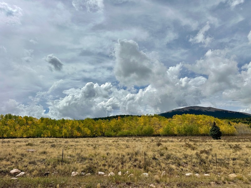
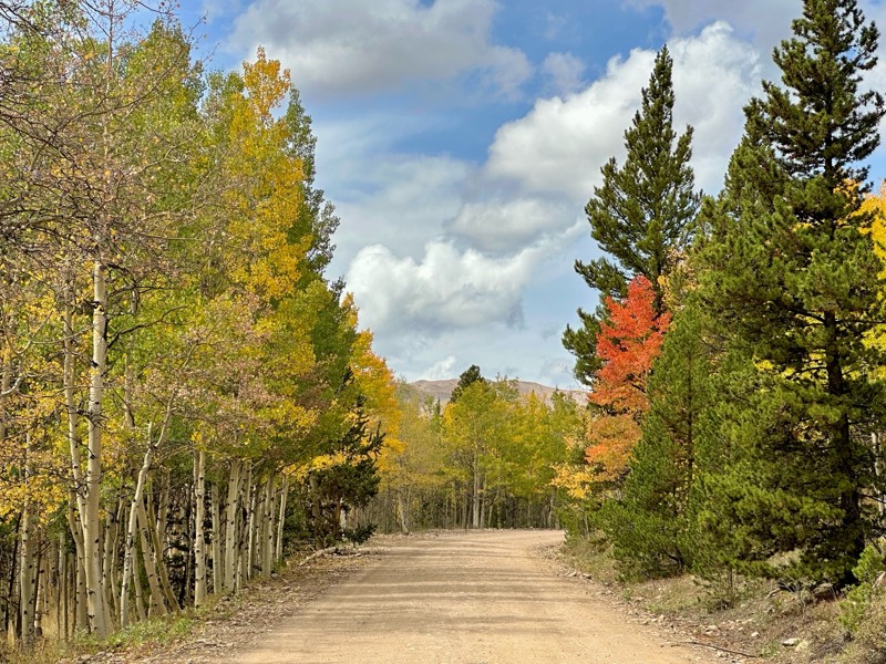
Went up for the aspens and I’d guess, for the most part, they’re maybe a few days past peak. Ran it in “reverse” starting from the east trailhead and there was still plenty of good color to see. Close...

Scott Bram
Rated 5/5
Open
Visited: 09/18/2026
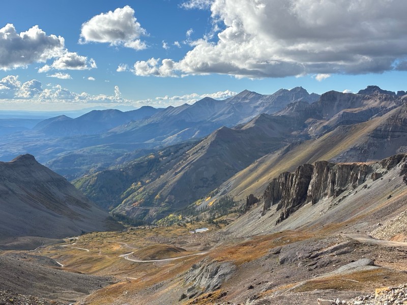
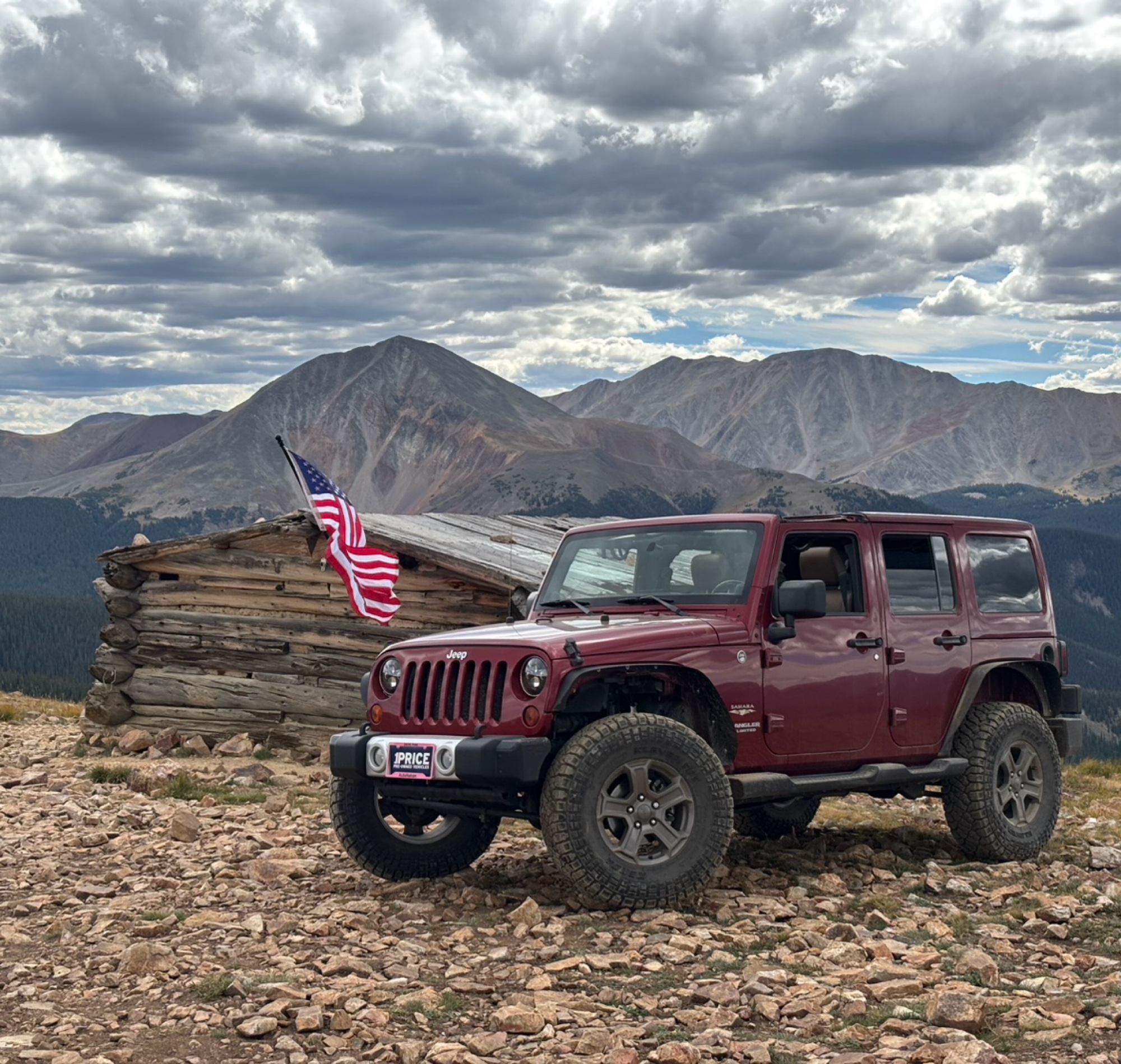
Ran the trail starting in Telluride on Friday the 18th. The trail is open the whole way through to Ouray. Very little dust thanks to all of the rain lately made our first time on Imogene very pleasant...
Matthew Stef
Rated 5/5
Open
Visited: 09/18/2026
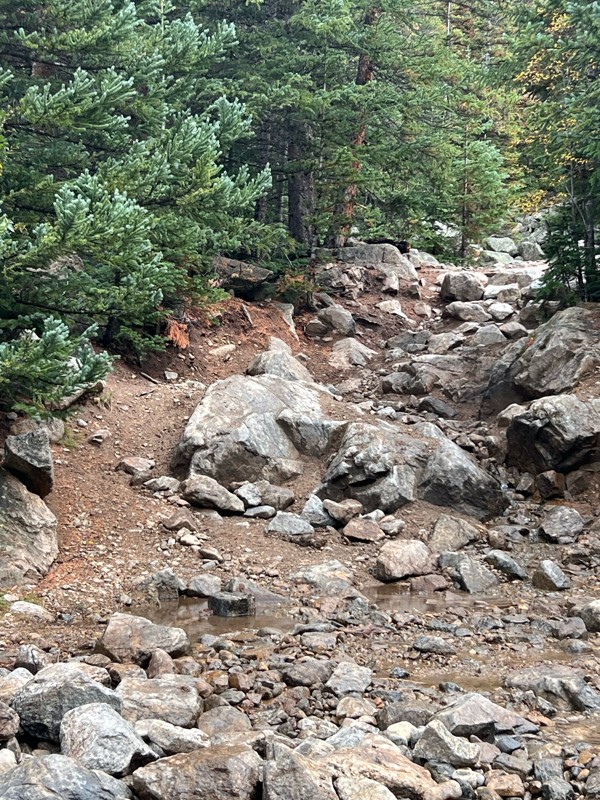
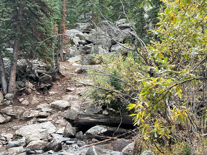
Fantastic views. Great time of the year to go - less likely to need to pass other vehicles on some steep ascents. The “gatekeeper” obstacle and narrow (no room to pass) sections are the major conside...
TK
Tarik Khatib
Rated 5/5
Open
Visited: 09/18/2026
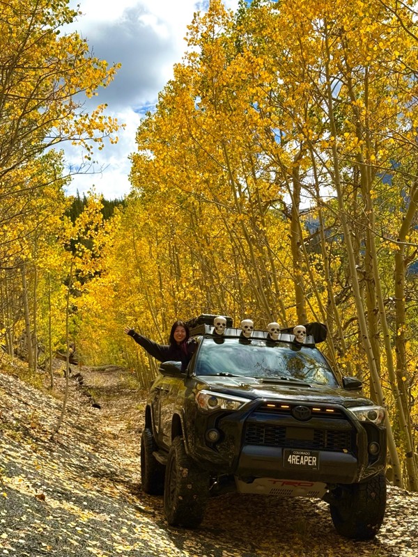
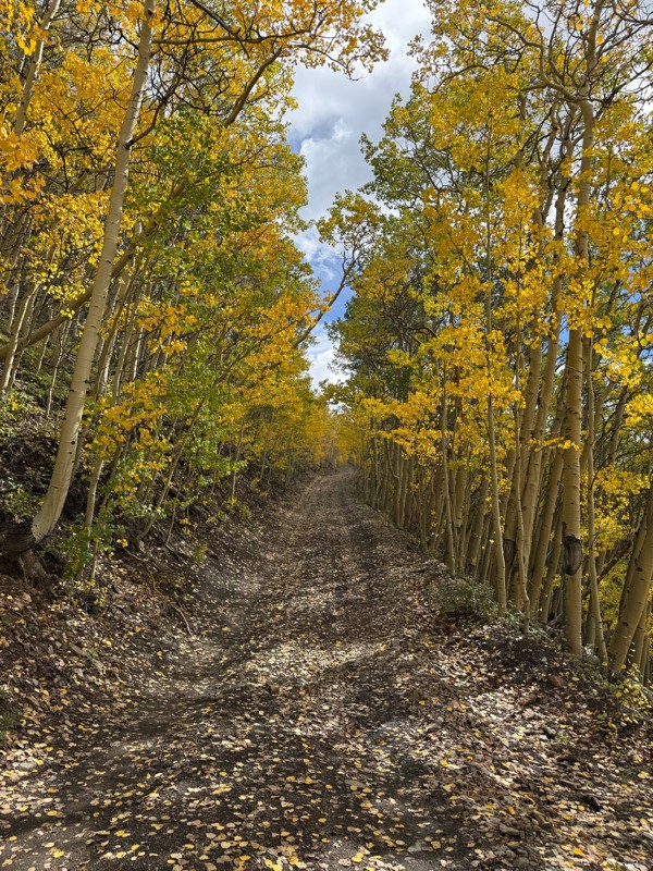
We honestly didn’t mean to take this road but ended up on this road on accident looking for a way to get from Georgia pass to Breck. The colors were amazing!! We came east to west so we were heading d...
V
Vince
Rated 5/5
Open
Visited: 09/18/2026
Beautiful trail. Fun whoops and a pretty rocky section. Would definitely recommend not taking the family sedan.
Wade Williams
Most Popular

Updated: 09/22/2025
Cottonwood Creek Road
Henson, Colorado
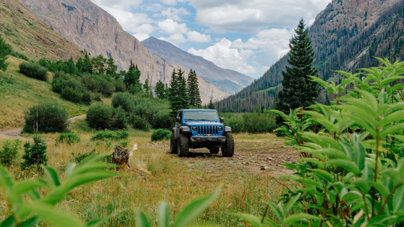
Cottonwood Creek Road is an out-and-back trail following Cottonwood Creek up through the Handies Peak Wilderness Study Area with access to dispersed campsites and two trailheads. Cataract Gulch Trailhead is located just 1.3 miles into the trail, and the Cuba Gulch Trailhead is found at the very end. Dispersed campsites are scattered along the trail with one featuring a vintage truck cab and others overlooking Cottonwood Creek, where it has carved down the rock. Although the beginning of the road is well-maintained after the first mile and a half, the surface becomes rougher with short climbs. This trail is a great spur for those trying to find camping off the busy Cinnamon Pass.
Updated: 07/23/2024
Little Government Creek Road
Cowdrey, Colorado
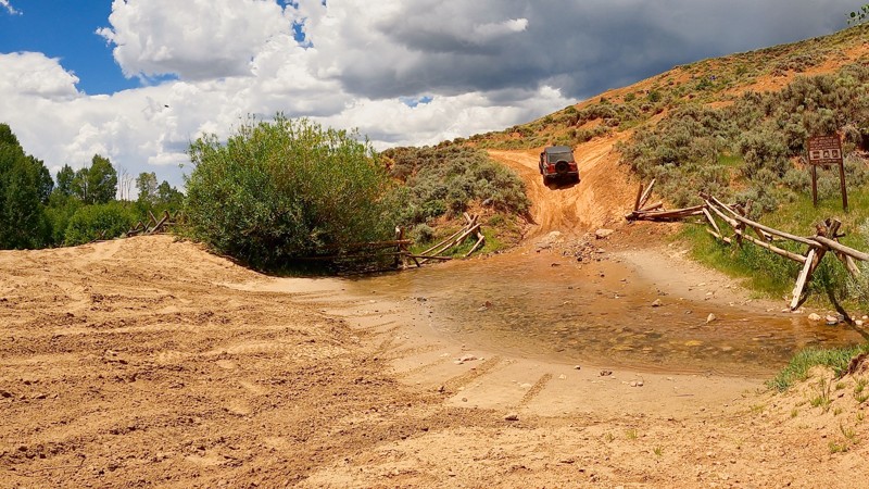
Little Government Creek Road, also known as North Sand Dunes Road, is one of the many enjoyable 4WD trails in the Walden, CO, area. The trail offers excellent views of Colorado's North Park and the sandy dunes of the North Sand Hills Recreation Area. The location is popular with OHV and 4X4 enthusiasts alike. The road climbs from the valley dunes into the Route National Forest. Both experienced and novice off-roaders will enjoy this ride.
Updated: 06/01/2024
Helmet Peak
Mancos, Colorado
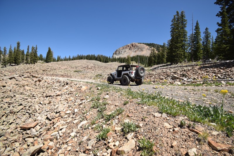
Located just outside the small town of Mancos, CO is a beautiful region of the San Juan National Forest loaded with 4x4 trails. Helmet Peak is one of many trails that make the region so memorable. The trail climbs up through dense pine and aspen forest before leading to spectacular vistas above 11,000 feet. Linking this trail with others, like Echo Basin, makes for an enjoyable but mildly challenging experience on the trail.
The 1.8 million acre San Juan National Forest located in southwest Colorado has thousands of miles of back-roads and hundreds of 4x4 trails to explore. The region's diverse terrain offers outdoor enthusiasts a wide variety of opportunities to experience nature without the large crowds found to the north. There are also plenty of great established campsites located along all the main routes in the area.
The Mancos, CO area has the "Alpine Loop" ATV trail system, an extensive network of interconnecting trails that crisscross the mountains above town. Theses trails are connected with full-size 4x4 trails that travel from various lakes and mountain summits all within minutes of town.
Updated: 07/02/2026
Ophir Creek Road
Fairview, Colorado
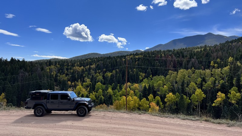
Right around the corner from Bishop’s Castle, Ophir Creek Road takes you into the heart of the San Isabel National Forest. The views are limited along the trail, but at the end, the trail opens up to a spectacular view of the Sanger de Cristo Range. The trail is easy and sprinkled with dispersed campsites with established fire rings.
Updated: 06/01/2024
Columbus Basin
Mancos, Colorado
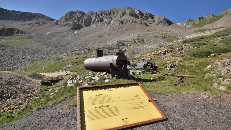
The San Juan National Forest in southwestern Colorado has numerous opportunities to summit mountain passes and visit old mining sites. Some of these trails can be quite difficult, remote and intimidating to a newcomer or novice 4x4 owner. The Columbus Basin trail is ideal for users wanting a backcountry off-road experience without all the stresses and crowds some of the more popular trails to the north may bring. The drive up La Plata Canyon leading to the trailhead is wonderful and very easy, with plenty of opportunity for great camping. The reward at the summit of Columbus Basin is a breathtaking panorama of the scenery below. You can also walk around the old mining equipment that still remains at the top.
Updated: 07/15/2023
Columbine Road
Central City, Colorado
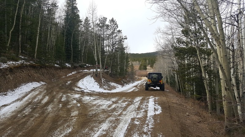
In 1859, John Gregory discovered gold in a gulch near what became Central City, Colorado and the gold rush was on. Within a few months, the population grew to 10,000 people seeking their fortunes. The area around Central City, Colorado became known as "The Richest Square Mile on Earth." During the late 1800s to early 1900s millions (perhaps billions) of dollar's worth of gold and silver were extracted from the hills of Gilpin County.
Columbine Road is the most popular, eastern entry point into the Yankee Hill network that is littered with dozens of offroad trails. This offroad trail is also the most direct route to the Columbine Campground.
Updated: 08/13/2026
Phoenix Park Waterfall
Creede, Colorado
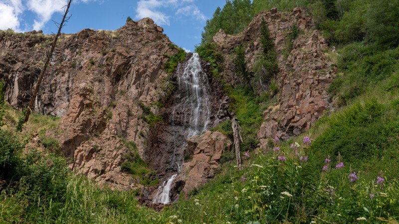
Forking off East Willow Creek Road, Phoenix Park Waterfall is a rough and rugged out-and-back trail ending in a large open meadow at the base of the La Garita Mountains, 0.75 miles from one of the most breathtaking waterfalls in the Creede area. The trail starts with a rocky, loose climb and then meanders through thick groves of aspen trees as it follows along East Willow Creek. As the trail gradually ascends the valley, it remains rough and rocky through 70% of the trail, with limited sections of hard-packed dirt. The trail is one vehicle wide the entire way but does offer many pullout opportunities to pass oncoming traffic. After several creek crossings, the trail ends at an old hunting cabin where you must leave your machines behind and take off on foot to see the waterfall. Although you can see the falls from the cabin, the hike to the base of the falls is relatively easy and well worth the march. Drivers should anticipate 1 hour of travel in each direction.
Dispersed camping is allowed along the entire trail. However, the only suitable site observed would be at the end of the trail near the cabin. Although an experienced driver in an aggressive high clearance vehicle could make the drive, this trail is best suited for vehicles with larger tires and a small lift to avoid numerous belly-scraping rocks. The trail is very remote, with no cell service, and not as often traveled as other nearby roads. If an emergency should arrive, it would be a long, grueling hike for help.
Updated: 08/11/2026
Frey Gulch
Dillon, Colorado
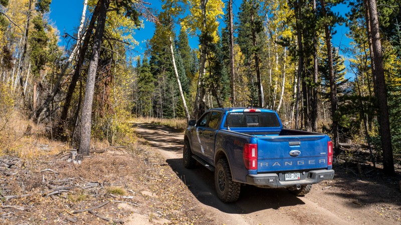
Frey Gulch is an easy dirt trail with nice views and some camping opportunities between Dillon and Keystone. The trail is drivable with most AWD SUVs, with some small ruts and bumps being the only obstacles.
To reach the trailhead, travel north on Landfill Road. When you reach the weigh station for the landfill, go around to the right. Past the scales, the road winds around to the right, and the trailhead is at the gate just past the gun range. This trail is closed from November 23 - June 30 to prevent wildlife disturbance.
The trail official ends for motorized use at the trailhead for the Pah Qwun hiking trail, even though it appears to continue for another 1/3 mile where there is a gate.
This trail leads to trailheads for several motorcycle and ATV trails.
There is no camping for the first 3/4 mile. Then there are several dispersed campsites. There are many signs prohibiting campfires in the area.
Updated: 08/25/2026
Paradise Basin
Pittsburg, Colorado
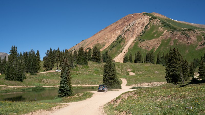
Paradise Basin is a high-alpine offroad adventure that is most commonly run with Slate River Road and Gothic Road, unless you are feeling spicy and decide to tackle the infamous Schofield Pass. This trail offers scenery for days as it takes you up to Paradise Divide. Several dispersed campsites are on the way up to the top. The summit of this trail offers camping spurs at just over 11,000 feet of elevation, where the camping is plentiful, and the views from the top are unmatched. You will cross a few shallow, hard-bottomed creek crossings as you progress out of the forest toward the switchbacks. Any AWD vehicle should be able to complete this trail. You'll know you're at the top when you see a gorgeous crystal-clear lake and the sign telling you which way you're heading.
Updated: 08/31/2026
Wahl
Jefferson, Colorado
Wahl is a straight-through trail running through the heart of the network of trails that parallel Kenosha Pass on the west side of Highway 285. It runs from Deadman on the west to the intersection of Liniger Ditch and Liniger Cutoff on the east. Along the way it intersects with Guernsey. To get to Wahl from the west side, you must run the first part of Deadman. To get to it from the east side you must either run the first part of T-Pit and then Lininger Cutoff or run the first part of Beaver Creek and then Lininger Ditch.
You can think of the trail in two parts. The first part is an easy traverse of the northern edge of the South Park valley from Deadman to the intersection with Guernsey. This section has abundant campsites, many of them suitable for large groups and RVs. The second part is a steep, loose, rocky climb to the top of the ridge and then an equally steep, loose, and rocky descent to the intersection with Lininger Ditch and Lininger Cutoff. This section only has a couple of campsites, one at the top of the ridge and one at the end of the trail.
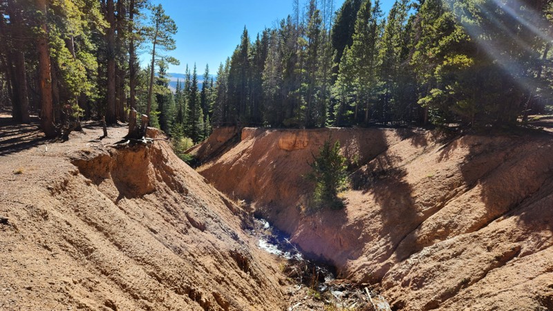
Be sure and stop at the top of the ridge to check out the impressive gulch the little creek has carved out of the side of the mountain on the west side of the trail. As with all the trails in this network, Wahl is a great trail for viewing fall colors.
Updated: 07/14/2024
Observatory
Nederland, Colorado
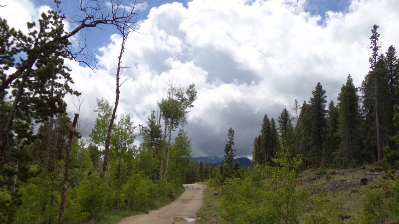
Situated on the west side of Colorado Highway 119 between the quaint little towns of Nederland and Rollinsville is a small network of hiking, mountain biking and 4x4 trails known as West Magnolia. Like much of the Colorado Front Range, the area is rich in mining history and abundant in scenic beauty. These easy-to-moderate four-wheel drive roads can provide a quick outing or be strung together to make a whole day or more of fun in the woods. Camping is available in designated sites. Its proximity to the Denver area and ease of access make it popular for day trips or short weekend jaunts. Observatory is the main spine through the northern portion of this network. It is often combined with West Magnolia Road and Rollinsville to make a nice route to the town of Rollinsville.
Updated: 05/30/2024
Beaver Creek Road
South Fork, Colorado
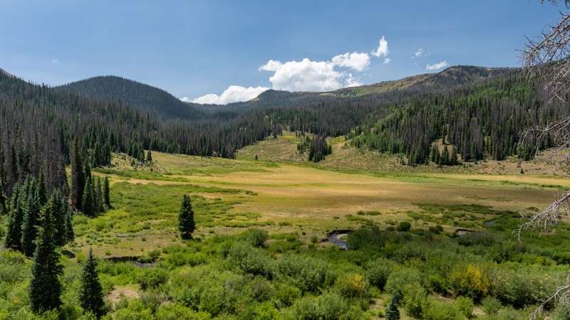
The Rio Grande National Forest is home to a multitude of outdoor activities. Ranging from fishing and hunting to hiking and off-roading, there is no shortage of activities to fill your weekend. Beaver Creek Road is one such trail that offers many, if not all, of these activities. This maintained trail, winding its way up almost 3,000 feet in elevation, is an outdoorsman's paradise. Beginning and ending at great fishing lakes, access to hiking, and being littered with campsites make for an amazing trail to begin your journey into the forests of Southwestern Colorado.
Updated: 02/04/2024
Pawnee Grasslands Murphy Reservoir
Briggsdale, Colorado
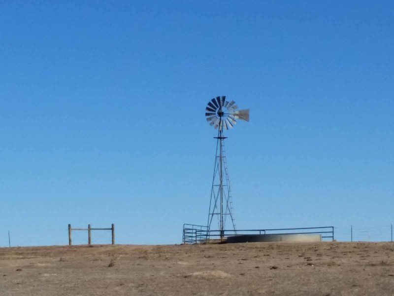
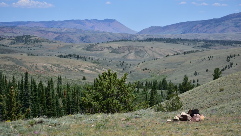
Sprawling across the plains northeast of Greeley, Colorado, the Pawnee Grasslands are criss-crossed by a network of gravel county roads and 2-track dirt Forest Service Roads. These easy roads offer an alternative to the usual mountain ‘wheeling of the Colorado Rockies, especially from late fall to early spring when many of the mountain trails are snowed in. This route through the back roads features the Murphy Reservoir, a small dam and pond used to store precious water on the arid plains, and an abandoned Atlas E ICBM missile silo, a leftover relic of the 1960s Cold War.
Updated: 05/07/2023
Hohnholz Lakes
Cowdrey, Colorado
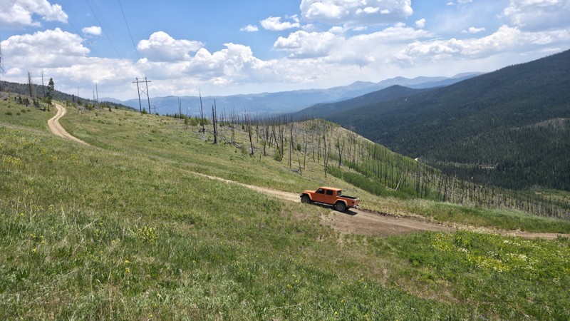
If you are wanting to take a little break and stretch your legs, the Hohnholz Lakes State Wildlife Area (SWA) provides great mountain cold water lake fishing. Hohnholz Road provides access to the US Forest near the Colorado – Wyoming border in the beautiful Laramie River Valley and is the gateway to the northern edge of the Rawah Wilderness near Shipman Park.
Updated: 07/07/2026
Rocky Point
Fraser, Colorado
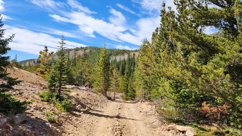
Rocky Point is a quick loop that is fun to explore, and provides great views to the south and east towards Winter Park and Fraser. As you climb into the trees on the north side of the loop, the views will be limited to the horizon, but it is a beautiful area. It is a less-explored spur, so you will find less traffic than the main trails off of Keyser Creek. It is very close to the Beaver Creek, Little Muddy Creek, and Cook Creek Rim, as well as other recreational trails in the area.
Updated: 04/22/2026
Silver Creek (Dakota Hill Network)
Central City, Colorado
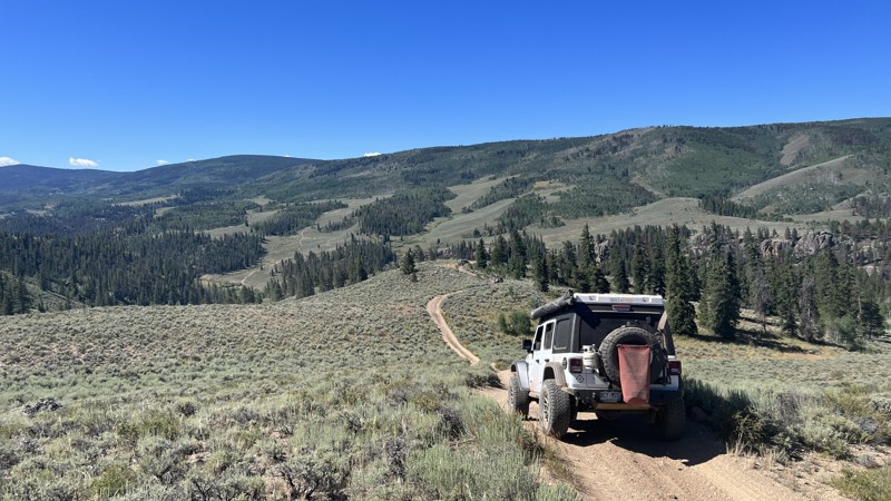
This out-and-back trail starts at the end of Pickle Gulch. As you exit Pickle Gulch, turn left down the hill to begin Silver Creek. The road continues down to Apex Road, but the last quarter mile or so is blocked by private property. There is no sign or gate at the end of the official route so be sure to pay attention to the track or the MVUM. There is a locked gate at Apex Road. As you follow the creek down the gulch, the trail is moderately rocky and quite bumpy. It is just hard enough to make you think about your lines but easy enough that a good driver in a stock rig should be able to complete it without issues. One of the main features of this trail is its connection to Lower Michigan Hill about halfway down. Lower Michigan Hill is a much more difficult trail and probably the hardest trail in the Dakoda Hill area. There are a few campsites along the trail, mostly near the top. As you get lower on the trail, there is lots of private property and several active mining claims.
Updated: 08/03/2026
One Mile
Almont, Colorado
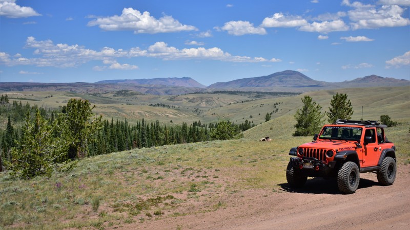
One Mile is a fun, flowy trail traversing an incredible high mountain desert south of Crested Butte. This trail is essentially the boundary for the Fossil Ridge Recreation Management area, with beautiful peaks to the east. One Mile takes you through various ecosystems, including forest, high mountain desert, and lush meadows, even with a few water crossing thrown in for good measure. If you enjoy feeling like the only person out there when you wheel, this is a great choice, as it doesn't see nearly as much traffic as the more famous trails in the area.
Updated: 06/05/2022
Roach Road
Cowdrey, Colorado
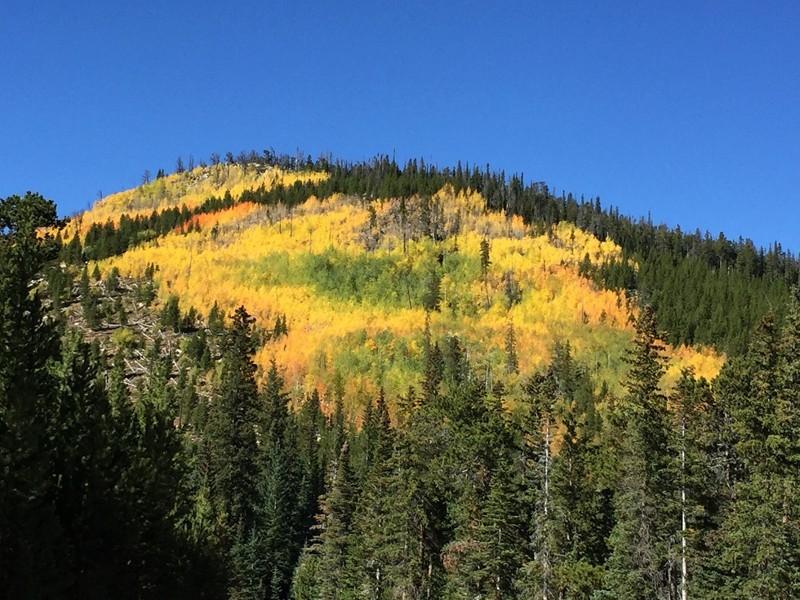
A drive through history and thick forest is what you will find as you stroll along this main route in the Roosevelt National Forest. Roach Road is named after the ghost town, Old Roach, that can be found while on this journey. This forest was a primary resource for supplying railroad ties during the US western expansion in the 1800’s. Mining resources were also later found in the vicinity. Today, Old Roach is a popular recreation destination if you’re looking for an escape from the urban hustle. Primitive camping, hunting, fishing, or a relaxed drive through the rugged forest are all reasons to explore this area.
Updated: 06/19/2024
Nunn Creek
Red Feather Lakes, Colorado
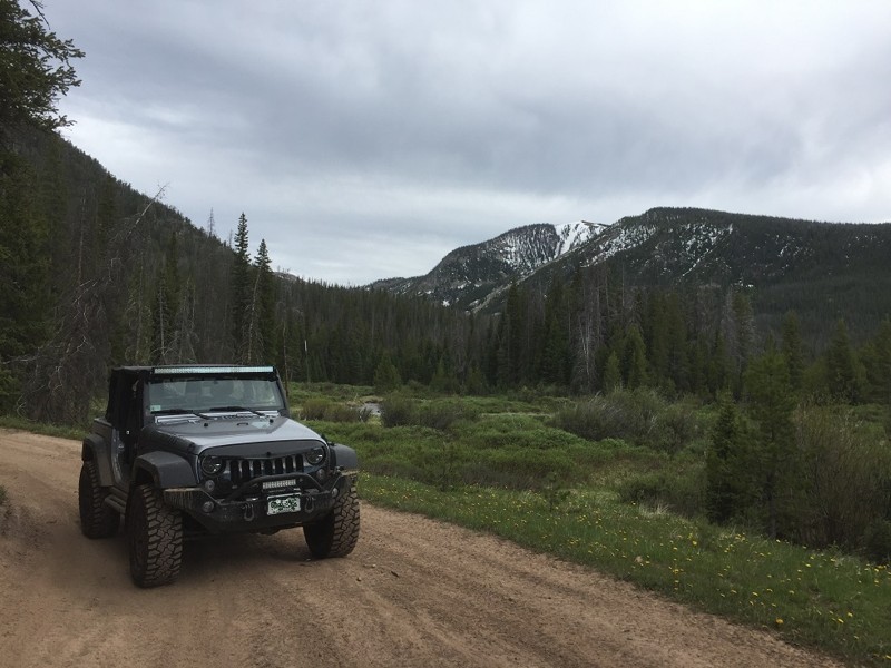
Nunn Creek is a short, narrow mountain trail that wanders through the forest between Deadman Road and Bald Mountain. The route is not very steep, but it is over 10,000 feet in elevation. This trail offers a nice and peaceful meander through the woods. During the fall season, beautiful patches of Aspen Trees light up the hillsides enhancing your journey. Standing water is typically on this trail and can hide some large rocks. The trail is suitable for a stock high clearance vehicle and drivers with minimal off-road experience.
Updated: 06/05/2022
Michigan River
Walden, Colorado
If you like narrow, steep Rocky Mountain trails, then this trail is for you. The road follows the South Fork Michigan River up the mountain side to the edge of the Never Summer Wilderness area. The trail is wet, rocky, steep and very narrow with very few places to pass other vehicles. Views of the nearby mountain peaks is limited as you will remain in the thick forest for most of the route. This is a trail that requires paying attention and having a slow, deliberate pace. Once at the trail's end, the mountain views are peaceful and majestic. If you enjoy a hike, a hiking trail into Rocky Mountain National Park begins where the vehicle trail ends.
Updated: 06/29/2026
South Colony
Westcliffe, Colorado
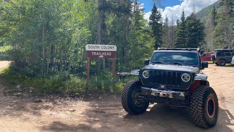
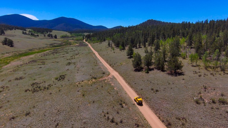
The South Colony Trail begins just south of Westcliffe and provides access to the South Colony Basin Hiking Trailhead. The road surface is mostly hard-packed dirt with a few rocks. Stock 4x4 high-clearance vehicles with a low range can navigate the road without issue. There are also several dispersed campsites located along the route. The trail ends at a large parking lot, which serves as a staging area for hiking access to South Colony Lakes, the Crestone Needle (14,203'), and Humbolt Peak (14,072').
Updated: 08/07/2023
Packer Gulch Road
Lake George, Colorado
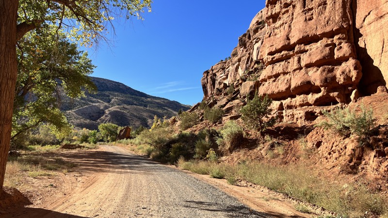
Perched west of the Tarryall Reservoir, Packer Gulch Road delivers a high-altitude off-roading experience amidst the predominantly flat landscapes of the area. This secluded trail ascends near-alpine heights, nestled between two 11,000 feet peaks within the expansive Badger Mountain Trail Network. Although the dense trees seldom part to unveil grand vistas, drivers relish the engaging switchbacks and the thrill of driving to the highest vehicular point within the entire network. Beyond the trail's terminus lies a spacious campsite, an ideal base for a weekend filled with exploration and adventure in the surrounding region.
Updated: 06/04/2026
Escalante Canyon Road
Dominguez, Colorado
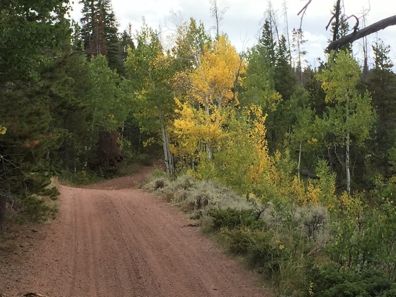
At the trailhead from Highway 50, a stone plaque reads " Escalante Canyon, named after one of the two priests Escalante and Dominguez after their expedition in 1776. Rich in history, this canyon has seen its share of human beings, starting with the earliest Native Americans circa 700 AD. After the Civil War, Captain Henry A. Smith, a tombstone carver, made this canyon his home. The canyon hosted the Colorado Sheep War during March 1916, and a shootout left residents Cash Sampson and Ben Lowe dead."
Starting from Highway 50, one could take Escalante Canyon and travel to and through the Uncompahgre National Forest. The trail crosses the Gunnison River and then follows Escalante Creek. All that water provides the green pasture land you drive through before climbing into higher elevations. The first half along the creek is primarily private land with little to no camping, then once into public land, dispersed camping opportunities are available, as well as the Potholes Campground, which is reservable. There is a seven-day camp limit and no cutting or collecting firewood.
There are several historical sites, which include the Walker Cabin and Captain Smith's Cabin. Both of which are worth a stop and directly off the road.
The area is popular with climbers and mountain bikers and is suitable for any vehicle, but beware, there is no winter maintenance. It ends where 25 Road starts, where you can continue for a more extended trip.
Updated: 07/14/2024
Sand Creek Pass
Red Feather Lakes, Colorado
Sand Creek Pass meanders through the Lodge Pole Pines of the Roosevelt National Forest in north-central Colorado. This road provides ample opportunities for a quiet, primitive camping experience as OHV traffic is minimal. The area is very popular in the fall season with deer and elk hunters setting up camp for their adventure. This scenic route is not difficult, but does contain one water crossing that can be up to a foot deep during the spring snow melt.
The road is optimal for stock, high clearance vehicles and drivers with little to no off-road experience.

Upgrade your Membership
Unlock all of the details on every Trail Guide and Scout Route.
Start a 7-day Free TrialBrowse Trails in Colorado by City
Browse every Colorado city with offroad trail guides.
Community
Partners

