













By clicking "ACCEPT", you agree to be the terms and conditions of each policy linked to above. You also agree to the storing of cookies on your device to facilitate the operation and functionality of our site, enhance and customize your user experience, and to analyze how our site is used.
Colorado Off-Road Trails
602
Total Trail Guides 575

6450
Detailed Waypoints 568
Try a Free 7-Day Trial and unlock it all
Start a Free Trial Most Recent Trail Reviews
Rated 5/5
Open
Visited: 09/23/2026
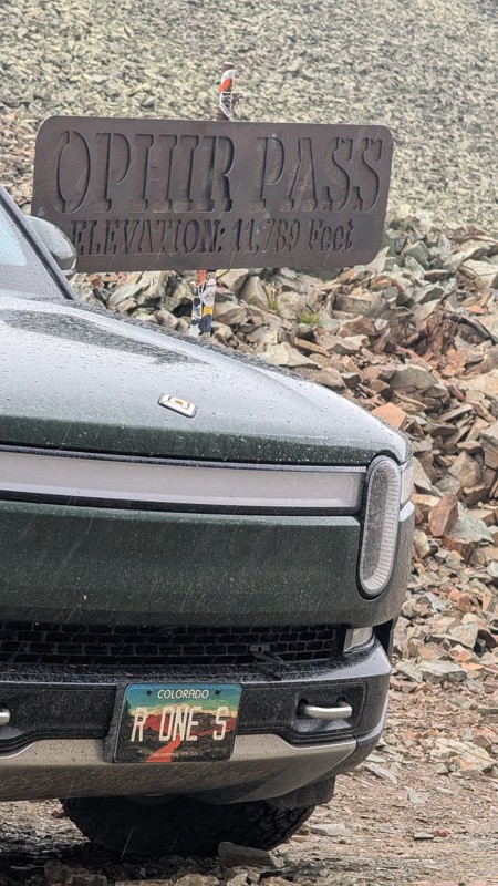
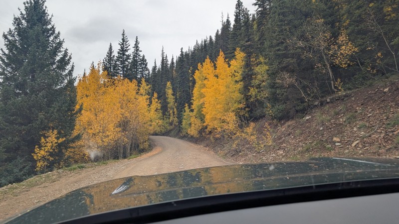
nice trail with good views. a classic in the San Juans... it's not quite as easy as 2 but not a true 3 either. Totally doable with a stock 4WD.


Mustafa ParDane
Official Crew
Rated 5/5
Open
Visited: 09/23/2026
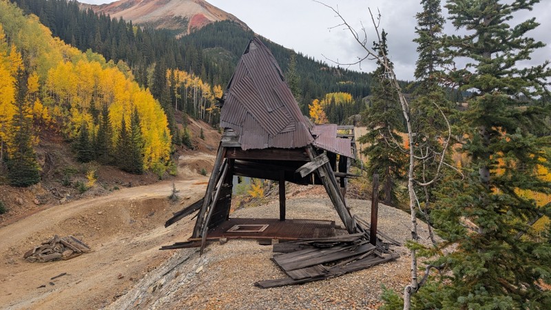
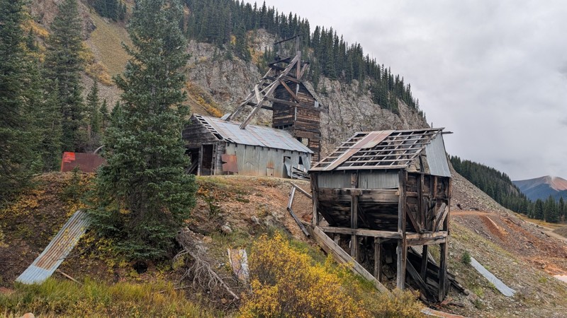
Nice fun easy trail! You will see lots of mines. I mean lots of them. If you are into it, this is the trail for you :)
Mustafa ParDane
Official Crew
Rated 5/5
Open
Visited: 09/23/2026
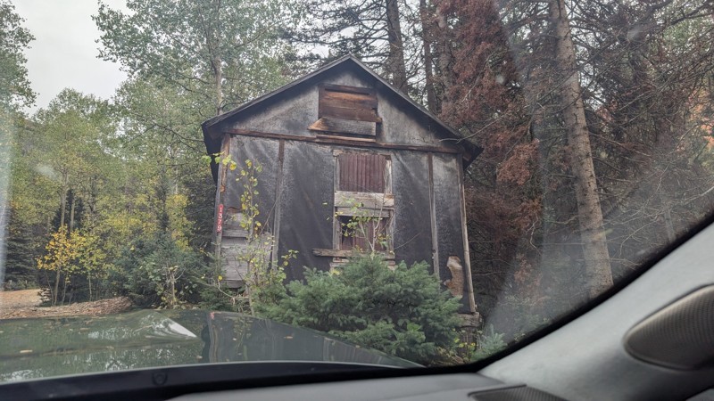
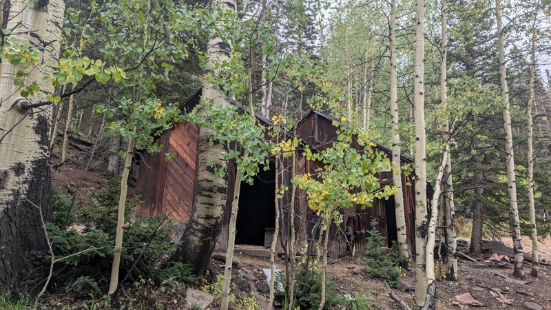
It's a steep climb all the way from the beginning to the top but there is no real obstacles. You will see some cool mines. And the views are awesome. You will see some good views of the Red Mountain p...
Mustafa ParDane
Official Crew
Rated 5/5
Open
Visited: 09/23/2026
We frequent this route probably once a week from GoG to Woodland Park. Be very careful on the blind curves - no shortage of knuckleheads driving way too fast (a biker was struck fatally in June). Us...
TC
Tim Crane
Rated 5/5
Open
Visited: 09/22/2026
Scenic road connecting to other alpine loop trails. it's not very technical or hard. but if you don't prefer shelf roads, maybe that can be considered hard. Red Mountain peaks are awesome. the scenery...

Mustafa ParDane
Official Crew
Rated 5/5
Open
Visited: 09/22/2026
Besides the shelf roads, there is not other bug obstacle or anything technical. As always, it has really good views :)


Mustafa ParDane
Official Crew
Rated 5/5
Open
Visited: 09/22/2026
Views are awesome as always with any alpine loop trails. There is a very short hike at the summit that takes you to even higher point with better views. Lake Como looks very good from there.


Mustafa ParDane
Official Crew
Rated 5/5
Open
Visited: 09/22/2026
Started from Lake City as most people recommend running the alpine loop clockwise. I think that was a wise choice because I didn't have a lot of ongoing traffic. The views are awesome and they start r...


Mustafa ParDane
Official Crew
Rated 5/5
Open
Visited: 09/22/2026
Tough trail, lots of technical spots throughout. Dont attempt solo or with any kind of stock truck!


Greg Dermann
Rated 4/5
Open
Visited: 09/22/2026
Just a dirt road with lots of potholes. Nothing technical. Drove this up to the 401 Trailhead to bike. Pretty busy with folks camping and leaf peeping. Overall it is in a pretty area and theres good c...



Davis McPherson
Rated 4/5
Open
Visited: 09/22/2026
Ok I have not run that trail in the last 4 years. I don't recall it looking like the photos. Did it recently get this way (rock garden) and get the difficult rating?
C
coyoteslocos
No Rating
Temporary Closure
Visited: 09/21/2026
Sign at the bottom of the hill says road construction but when you get to the turn off it is blocked.
PD
Paul Dixon
Rated 5/5
Open
Visited: 09/21/2026
Ran the trail from Westcliff side over the pass and into Great Sand Dunes NP. Had great weather. Don't think it had rained much in the days prior. So, the trail was dry. Think the difficulty ratin...



Stephen
Rated 5/5
Open
Visited: 09/21/2026
Id put it at a 3 some larger rocks mud and shelf roads: beautiful trail. Highly recommend.


Brian mckie
No Rating
Open
Visited: 09/21/2026
There is an area towards the end of this trail not long before it opens into the meadow that is very shaded and has become a mud hole. Well, somebody with a vehicle not capable enough to get through i...

Curt Greeley
Rated 5/5
Open
Visited: 09/20/2026
Ran this trail for the first time on 9/20/26. Absolutely stunning views and the leaves were almost at peak. This might be my new favorite trail to run during this time of year. Not difficult, but long...



Jack Mackie
Rated 4/5
Open
Visited: 09/20/2026
I wanted to run this trail on my way out from the gulches area but when I got down to the first stream crossing it had a few large logs placed in it. Im not sure if this is for traction or what, but I...
Jack Mackie
Rated 5/5
Open
Visited: 09/20/2026
First time out here and I ran this alone on 9/20/26 coming back from Old Stage 220. Took Sportsman Rd to get to 220 so I decided to take this to trail to get back to Cedar Mtn Rd. This is more fun tha...
Jack Mackie
Rated 5/5
Open
Visited: 09/20/2026
This is one of my favorite trails. I like to start at St. Mary's and run it in reverse lf this trail guide. I prefer to take most of the steep sections downhill, but if you want a fun challenge, then ...


Tim
Rated 5/5
Open
Visited: 09/20/2026
Ran this on 9-20-26 up to the Phoenix rocks. WK2 3" lift on 33's. Never been in this area before but I have read many of the reviews on here about the gulch trails. I was alone and the phoenix rocks w...

Jack Mackie
SH
Sharon Hansen
Rated 5/5
Open
Visited: 09/20/2026
Maiden voyage for my stock suspension 1994 Wrangler. The trail was surprisingly rocky in the beginning. Beautiful views and not too much traffic.
SH
Sharon Hansen
Rated 2/5
Partially Open
Visited: 09/20/2026
While there were some aspen views, this is not the best place to find them. Most of the views of the surrounding area are obscured by pine trees that are close to the road. Many of the overlooks are o...
MG
Mike Gerdts
Rated 4/5
Open
Visited: 09/20/2026
We enjoyed the trail. Beautiful scenery. Definately narrow in some areas. The terrain itself wasn't so difficult. Clearence is needed for some of the rocks in the trail.


Lisa Johnson
Rated 4/5
Open
Visited: 09/19/2026
Ran it in a 157"WB F150 on 33's, and would probably run it in a passenger car. Great views, easy climb and the switchbacks were totally navigable in a fullsize. Some of the roads on top are more app...
J
Justin
Rated 5/5
Open
Visited: 09/19/2026
The last descent at the end is kind of muddy so take it extra slow.



Joshua Scurran
Rated 5/5
Open
Visited: 09/19/2026
Ran east to west. The ascent at waypoint 14 has been cleaned up considerably - not sure if this was the work of the recovery crew we passed who were headed up Mt Baldy road, but it was much less rocky...

Jeff Dew
JG
Joseph G Botthof III
No Rating
Temporary Closure
Visited: 09/19/2026
Following up on Ryan's post, multiple incidents have occurred of vehicles sliding off the trail at washouts. CO4x4RNR was up yesterday recovering a vehicle, and we were told the trail will remain clo...

ERIC D BROWN
Rated 5/5
Open
Visited: 09/19/2026
Epic views at the top make this in and out road a must see on my list. Shelf roads with a few areas for passing. Switchbacks and 12"-18" boulders in only a few places to navigate. 4wd and good clearan...



Desi
Rated 5/5
Open
Visited: 09/19/2026
Expect closures Sept 21-24 for pipeline maintenance starting near the trestle. Perhaps related, there’s a rusty 4-6” pipe sticking out of a puddle near the trailhead at the top.
It’s been a bit rai...

MG
Mike Gerdts

Kirk Kneezle
Kirk Kneezle
Kirk Kneezle
WH
William Harkcom
Rated 5/5
Open
Visited: 09/18/2026
Great trail. Lots of fun, great views. Loved all the rock outcroppings.



Jessica H
Rated 5/5
Open
Visited: 09/18/2026
Short but fun. Right mix of technical and scenic. Ran this with Solitude Creek. Great views but that initial climb looked daunting but once you get into it wasn’t that bad.


Jessica H
No Rating
Temporary Closure
Visited: 09/18/2026
Forest Service has closed the trail due to washout damage. No ETA yet on fixes or reopening.


Ryan Boudreau
Official Crew
No Rating
Open
Visited: 09/18/2026
Only drove it to the Chinns Lake cutoff, but that part was in great condition. They've recently laid down new gravel on the lower portion in the neighborhood, it is super smooth.
S
Scott
No Rating
Open
Visited: 09/18/2026
Great condition. Only tough spot is some deep holes just before you get to the lake, otherwise it's easy. The mud holes are deeper than I remember, but it's been raining quite a bit. Lake is very, ...
S
Scott
No Rating
Open
Visited: 09/18/2026
We ran it downhill from the Miner's Gulch area. It's an easy descent thru the forest, a few rocks here and there, nothing major. Nice view of the aspens and rain clouds moving thru the area. Decent...
S
Scott
No Rating
Open
Visited: 09/18/2026
Mostly moderate, but a few spots are pretty rough with unavoidable and awkwardly placed boulders - stock vehicle are likely to hit their rocker panels. Good approach angles and rock sliders are your...
S
Scott
Rated 5/5
Open
Visited: 09/18/2026
Trail is in great condition, views from the top are magnificent.
S
Scott
Rated 4/5
Open
Visited: 09/18/2026
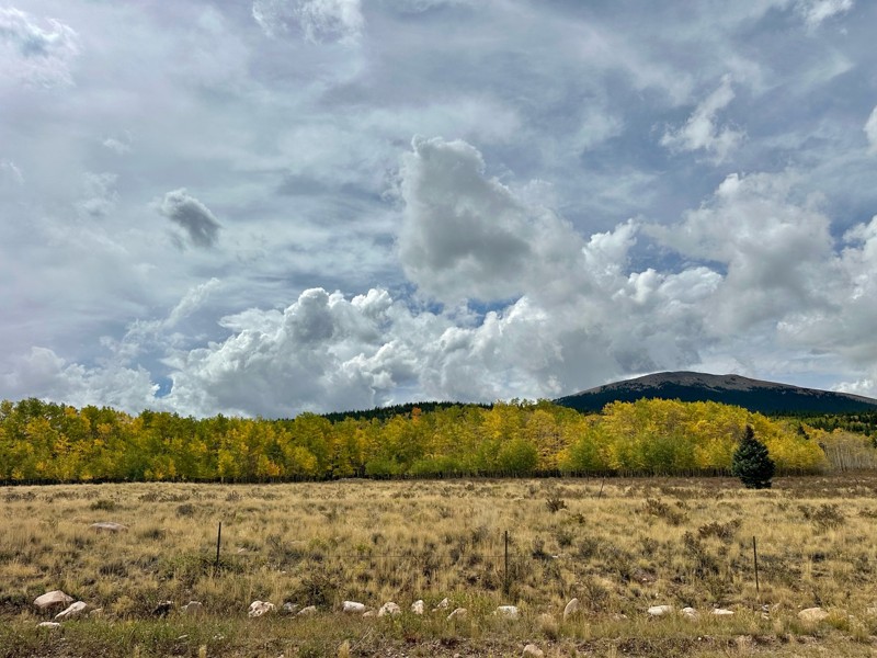
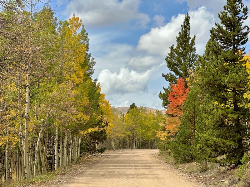
Went up for the aspens and I’d guess, for the most part, they’re maybe a few days past peak. Ran it in “reverse” starting from the east trailhead and there was still plenty of good color to see. Close...

Scott Bram
Rated 5/5
Open
Visited: 09/18/2026
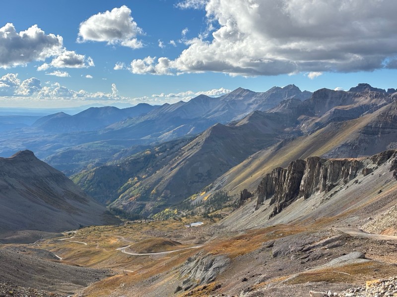
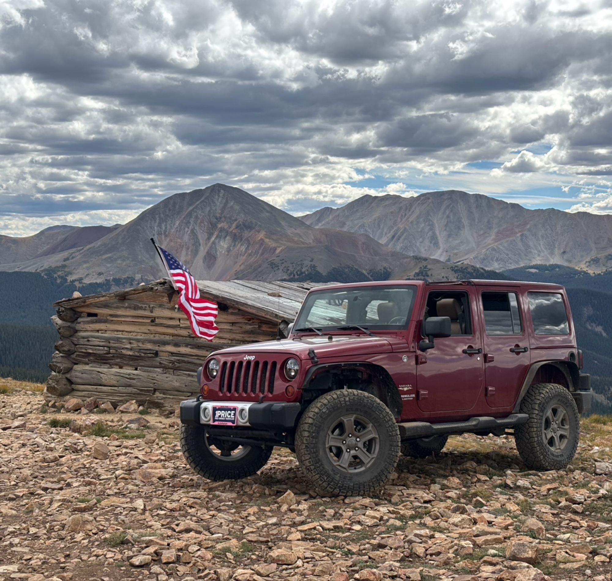
Ran the trail starting in Telluride on Friday the 18th. The trail is open the whole way through to Ouray. Very little dust thanks to all of the rain lately made our first time on Imogene very pleasant...
Matthew Stef
Rated 5/5
Open
Visited: 09/18/2026
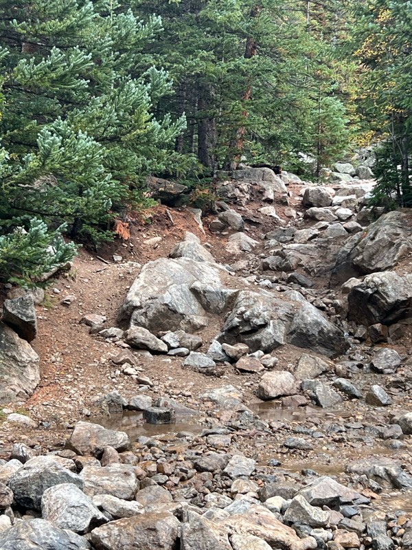
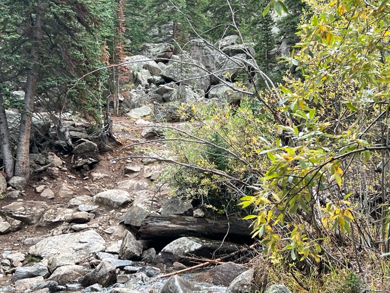
Fantastic views. Great time of the year to go - less likely to need to pass other vehicles on some steep ascents. The “gatekeeper” obstacle and narrow (no room to pass) sections are the major conside...
TK
Tarik Khatib
Rated 5/5
Open
Visited: 09/18/2026
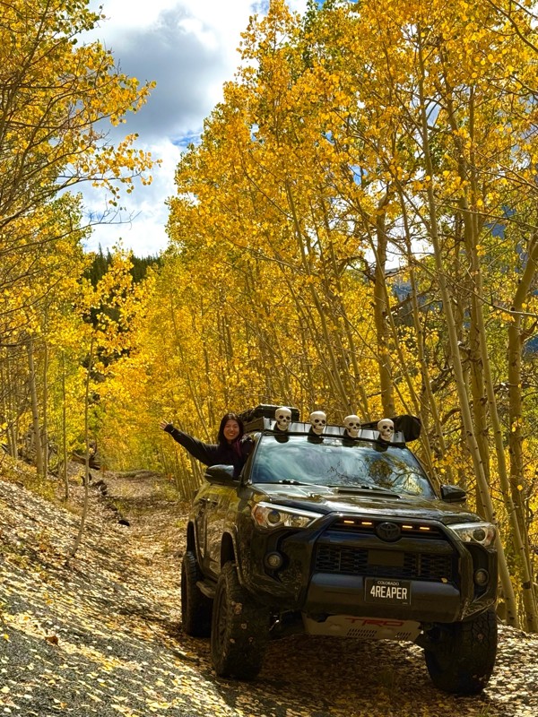
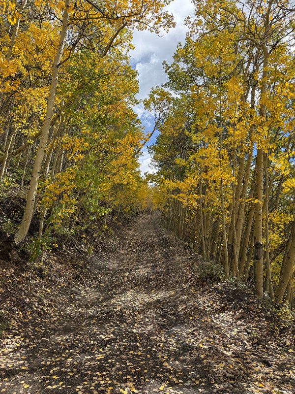
We honestly didn’t mean to take this road but ended up on this road on accident looking for a way to get from Georgia pass to Breck. The colors were amazing!! We came east to west so we were heading d...
V
Vince
Rated 5/5
Open
Visited: 09/18/2026
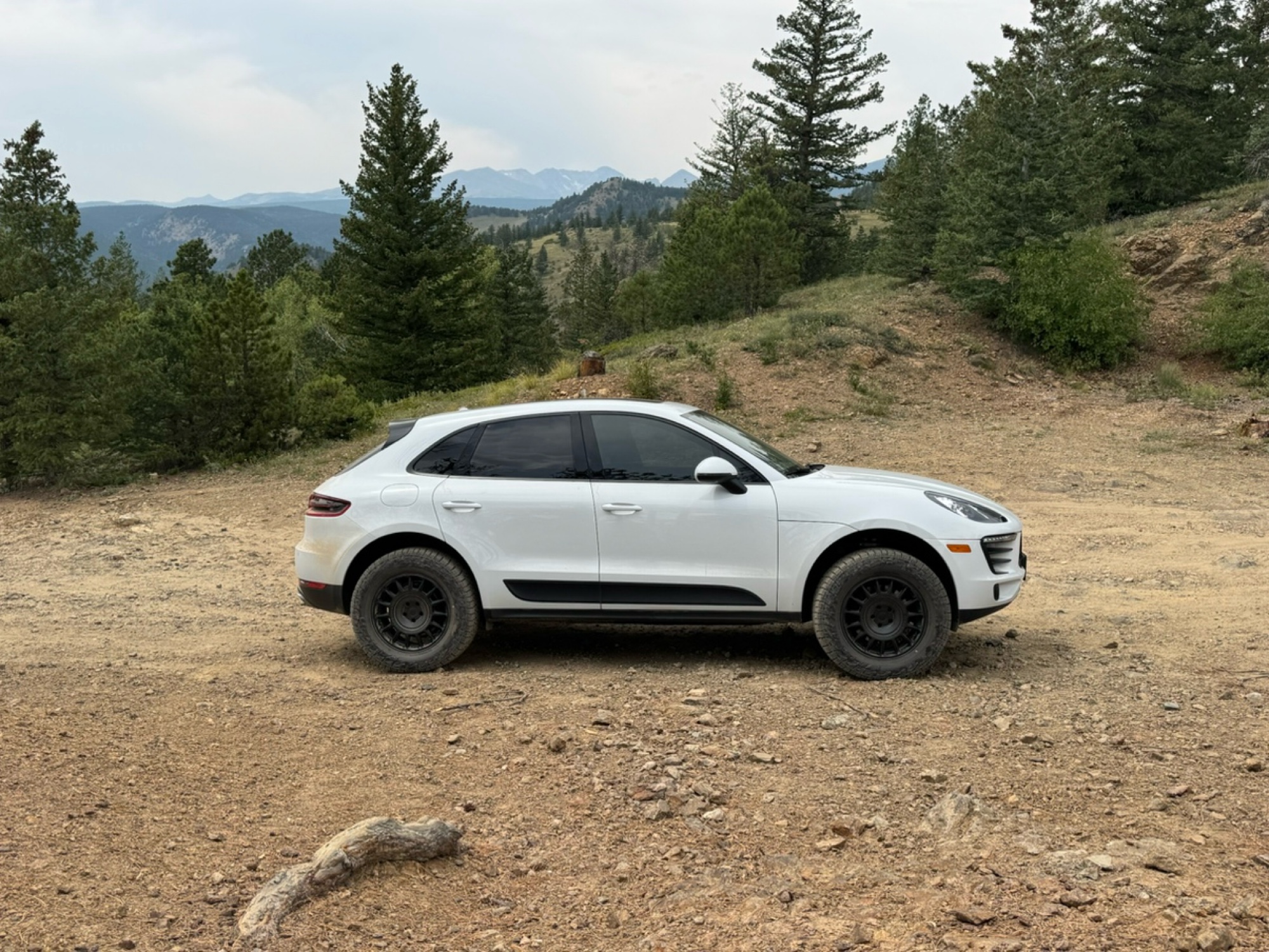
Beautiful trail. Fun whoops and a pretty rocky section. Would definitely recommend not taking the family sedan.
Wade Williams
Most Popular
Updated: 06/30/2024
Georgia Gulch
Breckenridge, Colorado
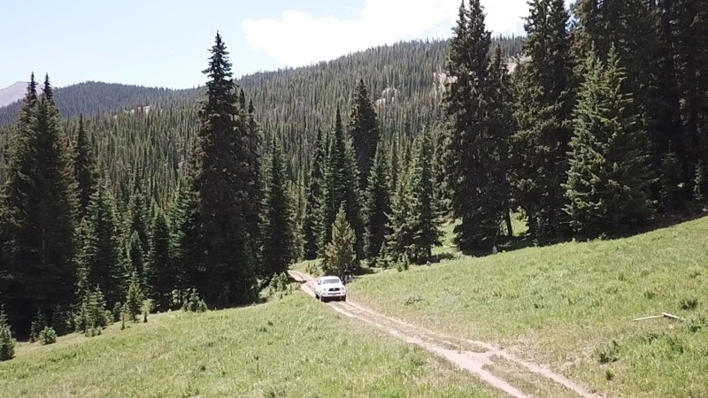
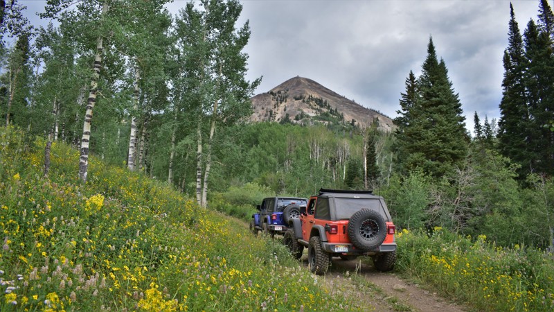
Georgia Gulch is a somewhat easy trail that winds through dense woods, up steep, loose draws, and through a fantastic scenic meadow. This is one of the least traveled trails in the area. If you want to get away, this is the place.
It is part of the Golden Horseshoe trail system which covers over 8,000 acres between the Swan River and French Gulch. The area has a rich history and is dotted with countless mines, mills, and cabins dating from the late 1870s through the 1950s.
The Golden Horseshoe is crisscrossed with 4WD, ATV, single track, mountain bike, and foot trails. Keep a sharp eye out for other folks using this network and, as always, be considerate. Stay the trail, and pack out what you packed in.
Updated: 07/06/2024
Deep Creek
Clark, Colorado
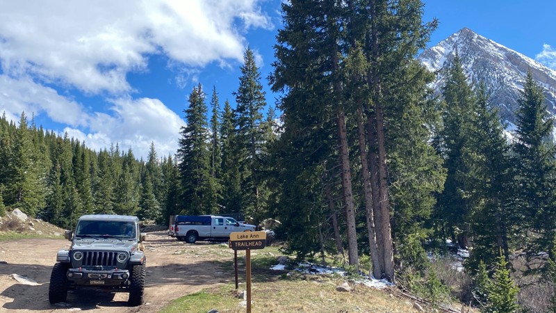
Deep Creek Road begins in the mountain' historic Hahn's Peak Village. A mining town from the mid-1800s, Hahn's Peak Village was once the county seat of Routt County, Colorado. Hahn's Peak, a volcanic created mountain, is the centerpiece of this historic area. Although mining was once the mainstay of this community, outdoor recreation is now the gold mine that keeps this area thriving. Off-roading, hiking, and camping are common summertime activities while cross country skiing and snowmobiling are popular winter activities. There is a patchwork of trails that encompasses the Hahn’s Peak vicinity. Deep Creek Road, in particular, exemplifies the beauty of the mature Aspen tree groves the flourish on the slopes of Hahn's Peak. The fall season is a real treat with the changing tree color.

Updated: 01/13/2026
Huron Peak Lake Ann
Winfield, Colorado
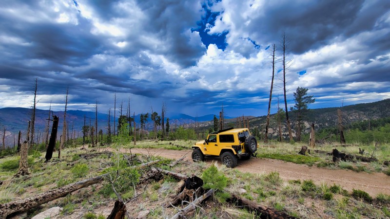
The Huron Peak and Lake Ann Trail take you from the mining town of Winfield to the Huron Summit Trail and the Lake Ann hiking trail. The road surface is dirt and rocks but is suitable for a stock 4x4 vehicle. The trail is just over 2 miles in length. It climbs and falls through thick timber before passing through several open areas and reaching the parking lot. There are several legal campsites along the route, but be sure to stay away from the closed sites, which are signed. It's a short out and back trip, but the views and the access to additional recreation make this trail a fun side trip,
Updated: 07/03/2022
Predator
Divide, Colorado
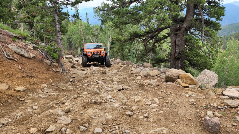
Nestled in the heart of Wildcat Canyon near Divide, CO, the Predator is a hidden gem that offers a blend of mild off-road terrain and breathtaking scenery. The trail passes through white-barked aspen groves and majestic pine forests with stunning views of Pikes Peak and the distant Sangre de Cristo Range. The trail provides both serenity and excitement, with the chance to spot native wildlife like mule deer and elk while tackling a few rocks and steep inclines. With this captivating mix of natural beauty and off-roading challenges, Predator promises to enthrall, challenge, and soothe.
Updated: 06/29/2024
The Chutes
Empire, Colorado
About an hour from Denver and situated within the Arapahoe National Forest, the Bill Moore Lake Trail is part of the Empire Loop, a network of trails just above Empire, Colorado. This short connector trail offers a shortcut along Bill Moore Lake with a fun, mildly challenging rocky hill climb.
Updated: 12/01/2023
Lower Iowa Gulch
Leadville, Colorado
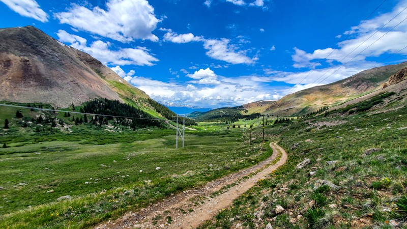
As a part of the historic Route Of The Silver Kings, Iowa Gulch is rich in mining history. Lower Iowa Gulch traverses along the bottom of the drainage, passing giant mining structures that once brought fame and fortune to many people. This trail rewards you with majestic views from the base of massive peaks such as Mount Sherman and Mount Sheridan and also offers across-the-valley views of Mount Elbert and Mount Massive. Combine this trail with others in the area to make a half-day loop sure to entertain you while you visit the Leadville area, the once home of the Unsinkable Molly Brown and Doc Holliday.
Updated: 12/01/2023
Buckeye Mountain
Rollinsville, Colorado
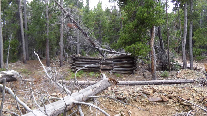
Close to Denver, Colorado, this short off-road spur in the southern part of the West Magnolia network offers a great opportunity to extend the day’s adventure or to find a more secluded camping site than you would find on the more popular northern part of the network. It can be combined with South Tennessee Mountain Connector and South Tennessee Mountain to make a fun little side loop off of the Rollinsville trail. You stay mostly in the trees so there are not any sweeping, panoramic views but there is plenty of beauty in the forest itself. You will also see evidence of the area’s mining history as you pass an old mine site with a crumbling log cabin.
Updated: 05/26/2024
Signal Butte Road
Divide, Colorado
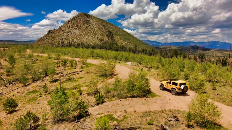
An extraordinary off-road adventure, Signal Butte Road weaves through an enchanting landscape of dense forest and open meadows punctuated by mesmerizing views of towering mountains in the distance. Its mildly challenging terrain, with occasional rocky patches and minor inclines, provides an exhilarating journey for off-roaders, while the scenic beauty ensures a fulfilling experience for nature lovers. The trail's route also takes you past the remnants of the Hayman Fire, allowing a poignant glimpse into nature's resilience and regeneration. Whether tackling Signal Butte Road alone or as part of a more extensive off-road exploration, prepare for a captivating blend of thrilling adventure, awe-inspiring scenery, and a compelling insight into Colorado's natural history.
Updated: 12/01/2023
Gould Mountain
Walden, Colorado
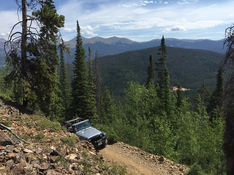
The Gould Mountain Road is one of the more enjoyable trails in the Colorado State Forest. The route offers great views of the nearby Continental Divide and North Michigan Valley. This road is a leisurely drive suitable for novice 4-wheelers. The route is open for vehicles, OHV's, hikers, mountain bikers, and horseback riders. The fall season is a visual treat with the Aspen trees changing to their vibrant gold hue. Elk and moose are abundant in the Colorado State Forest and seeing wildlife is common for visitors.
Updated: 11/06/2024
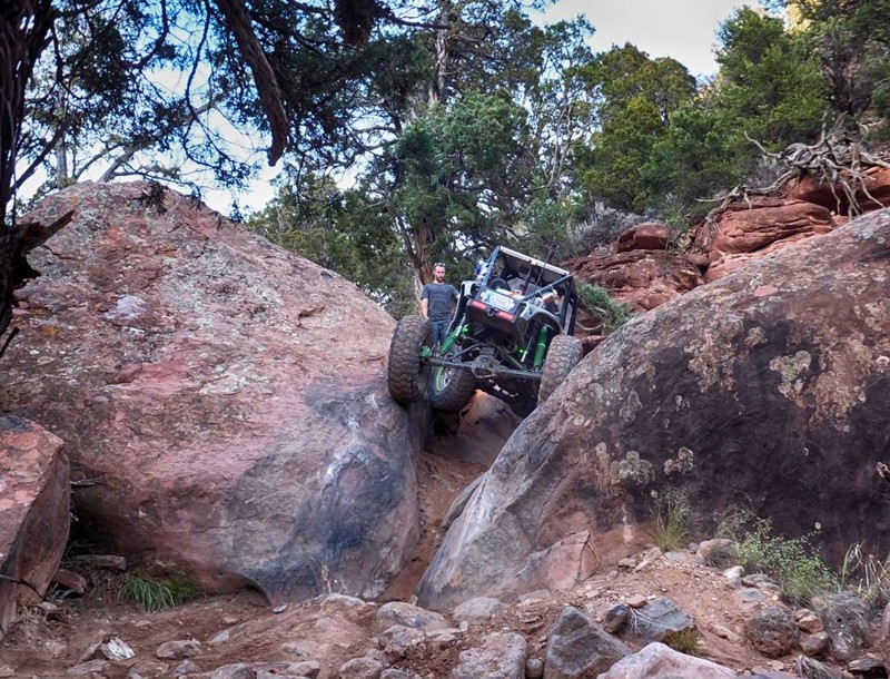
Upper Middle - Rock Crawling Trail
Gypsum, Colorado
Probably the hardest quarter mile Colorado has to offer, Upper Middle packs a 1-2-3 punch with consecutive, full throttle commitment obstacles. With a total of 6 obstacles altogether, this trail is only for the most extreme vehicles and is rarely completed without winching.
Updated: 06/07/2024
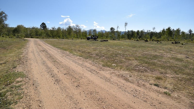
Chicken Creek
Mancos, Colorado
Within the San Juan National Forest of southwest Colorado are some truly enjoyable 4x4 trails. Chicken Creek Road may not be very difficult, but when connected with other trails like Echo Basin and Helmet Peak it makes for a great day on the trail. The trail is a fun way to enter this region so you can get a little bit of four-wheeling in while on your way up to one of the higher elevation trails that's within this vast network. Be sure to choose one of the primitive campsites along this route, because you'll want to stay a few days to experience what this charming region of Colorado has to offer.
Updated: 12/01/2023
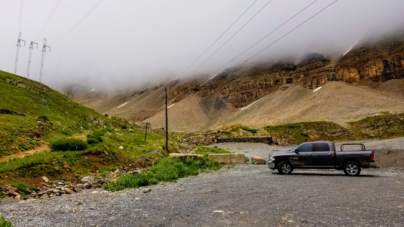
Upper Iowa Gulch
Leadville, Colorado
Southeast of Leadville, in the historic mining district, lays the hidden gem of Iowa Gulch. Located in the Mosquito Range, this trail climbs to the western base of the class-2 14er, Mount Sherman. Dotted with old mine buildings, the entire route provides impressive views of other high-altitude mountains, including Mount Sheridan and Dyer Mountain. Great for the views and scratching another 14er off your list.
Updated: 11/17/2023
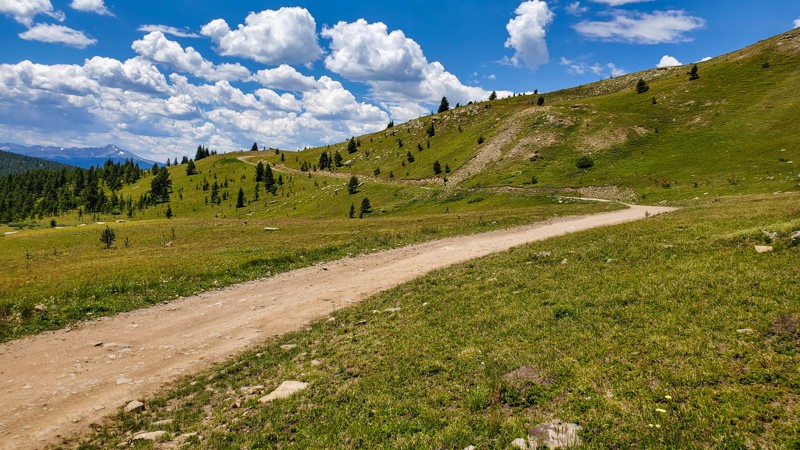
Ptarmigan Road
Red Cliff, Colorado
Located in the White River National Forest just above the historical Camp Hale, this trail provides users with endless amazing views of the Sawatch Mountains and takes you up a stunning dirt road drive that ends at one of the incredible 10th Mountain Division Huts. Not to be confused with the popular Ptarmigan Pass, Ptarmigan Road is a dead-end trail spur off of Resolution Road. Because this is not a through road, this trail is often overlooked by recreational users and provides a bit more seclusion. Two fantastic overlooks with plenty of open space will stomp exclamation points on your adventure down this off-road trail. Additionally, if you are in the Leadville or Red Cliff area and you are looking for an easy, short trail that will give you an epic sunset, this should be at the top of your list.
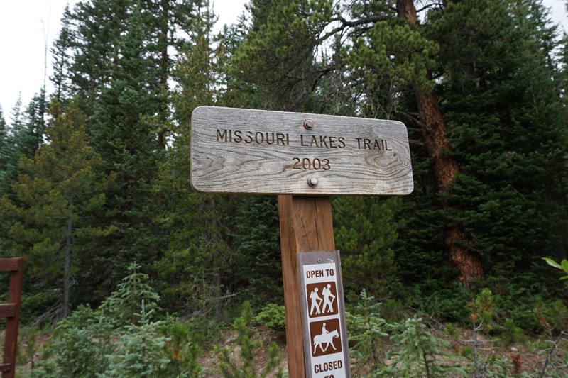
Updated: 05/21/2024
Homestake Collection System Road
Minturn, Colorado
Homestake Collection System Road is an easy dirt road that holds two purposes. First, it is the exit route and connector for vehicles that are coming off the Holy Cross City trail returning to Homestake Road. Second, it is a primary route for multiple hiking trailheads and a busy parking area for entrance into the Holy Cross Wilderness. The road is wide enough for two vehicles the entire way through and should not be an issue for any 4wd vehicle.
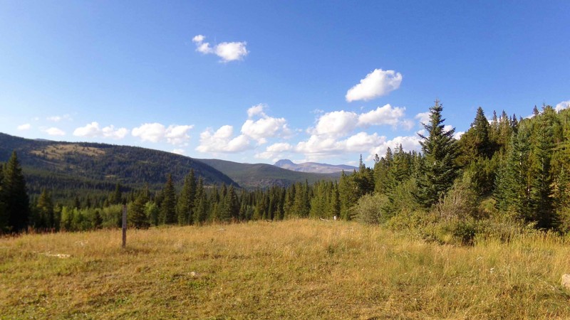
Updated: 12/31/2023
Mammoth Creek
Rollinsville, Colorado
This out-and-back spur off of Mammoth Gulch, west of Rollinsville, features several nice, large campsites as it makes its way through the thick, picturesque pine forest. The area is quite popular, though, and the sites fill up quickly. As you get higher up the trail, there are a few areas where the forest opens up and you can enjoy outstanding views of the gulch below as well as the surrounding mountains. This trail is a nice little diversion off the main Mammoth Gulch trail or a pleasant destination for a weekend camping excursion
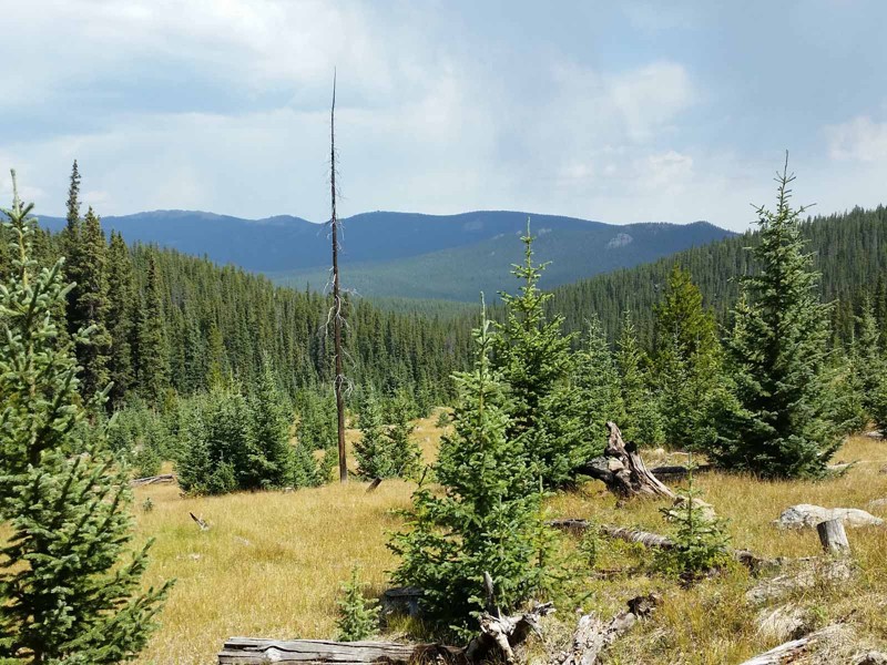
Updated: 07/20/2024
Bonis Creek
Jefferson, Colorado
Bonis Creek offers a step up in difficulty from the other trails in the Lost Park network near Jefferson, Colorado. This 4x4 trail also provides the opportunity for some spectacular scenic views of the Kenosha Mountains and Lost Creek Wilderness Area. It is a great short cut into or out of the offroading route formed by Topaz Mountain and Wallace Gulch or can be combined with a portion of Topaz Mountain and Banana Peel to make a nice, little loop.
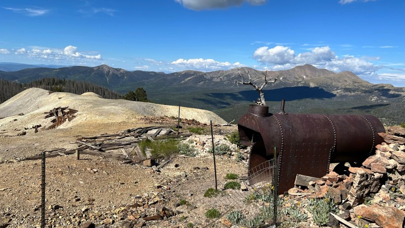
Updated: 08/11/2026
Round Mountain
Bonanza, Colorado
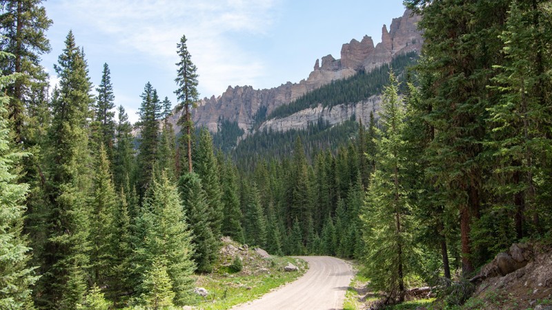
The Round Mountain trail is part of the Bonanza Off-Highway Vehicle Tour in a historic mining area. The trail begins immediately off Highway 285 near the abandoned town of Alder. The east half of the trail starts off smooth but becomes rough as it ascends over 3000 feet up Round Mountain on a narrow and sometimes steep trail with loose rocks. Passing opposing traffic is difficult in this area, and pinstripes are guaranteed in the tight sections. The summit of Round Mountain offers great views. Continuing the trail down the west side takes you past several historic mining sites and into the mostly abandoned, remote mining town of Bonanza. The west side is more mild than the east side and not as narrow.
The hardest part of the trail is on the east side approaching the summit, where it is steep, loose, and narrow, with limited passing spots. The trail can be traversed by any stock high-clearance vehicle with 4WD and a low range.
Camping is limited to only a few suitable spots along the trail.
Updated: 06/01/2024
Middle Fork Cimarron River
Ridgway, Colorado
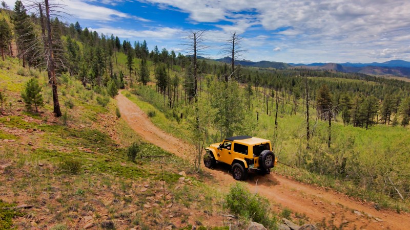
The middle fork of the Cimarron River is an amazing place to climb up into the canyon between Turret Ridge and Pinnacle Ridge. Starting at the confluence of the East and Middle Forks of the Cimarron River, the ascent through thick fir, spruce, and aspen forests provides an astounding array of scents, views, and peaceful wildlife sounds as you climb over 1,500 feet on a smooth dirt road.
There are numerous excellent camping spots along the road. The incredible views of the mountains never end. A picturesque river calls out to anglers or those just wanting cool off in the clear water.
At the end of the trail, is a parking area for staging and accessing the backcountry wilderness with a short (< 50 yard) walk down to the water at the boundary. Camping is not allowed at this spot, which is almost a pity because it's so picturesque here.
While certainly not the toughest trail you will ever drive, it certainly ranks as one of the most scenic.
Updated: 07/03/2022
Sportsman Road
Divide, Colorado
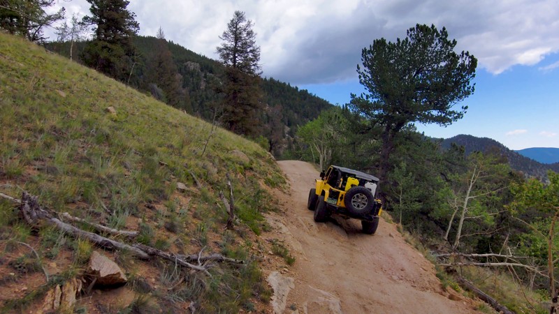
Sportsman Road is a quiet trail that usually isn't busy, making it a great spot to escape from the crowds on its neighbors, Longwater and Hackett Gulches. The road is relatively easy but connects to trails that offer rock-crawling opportunities for more experienced drivers and thrill seekers. The road links directly to the Wildcat Canyon trails like Old Stage FS220 and Forest Service 202, so there's plenty to explore.
Updated: 07/20/2026
Burns Park Road
Lake George, Colorado
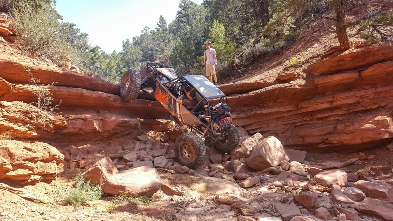
Burns Park Road presents an immersive offroad odyssey through panoramic landscapes and echoes of a storied mining past. As you traverse from rutted trails unveiling breathtaking mountain vistas into the heart of dense forests, the terrain grows richer, inviting challenges amidst its rocky expanse. A haven for solitude seekers or aspiring off-roaders eyeing tougher endeavors like the nearby China Wall, this trail is cradled in the Puma Hills of the Tarryall Mountains, once a bustling hub of mining exploits. Pair Burns Park Road with Thorpe Road and Puma Road for a full day of unforgettable adventure, uniting historical exploration and off-roading thrill.
Updated: 01/22/2026
Ten Falls Rock Crawling Trail
Eagle, Colorado
Arguably the most difficult and extreme rock-crawling trail in Colorado, Ten Falls is a legendary buggy trail that will test the capabilities of any vehicle and the fortitude of any driver. Located within the Gypsum Hills Recreation Area north of Gypsum, Ten Falls travels up the dry canyon creek bed of Cottonwood Creek for 3 miles, tackling a continuous string of off-camber, high-angle vertical climbs. Although named Ten Falls, there are far more than just ten obstacles. Rumor has it that the first trail runners lost count of the numerous waterfall climbs and decided it was easiest to just say ten. Vertical climbs over 8 feet tall often undercut severely, and the potential for backward rollovers is very high. Drivetrain failures are common while attempting this trail, so spares are highly suggested. This trail is famous for people starting early in the morning and not finishing until 2 am the next day. Running it without damage takes several hours.
This is an extreme trail that should only be attempted by highly skilled drivers in specialized, rock crawling-specific vehicles.
Updated: 08/11/2026
Heart Lake
Carbonate, Colorado
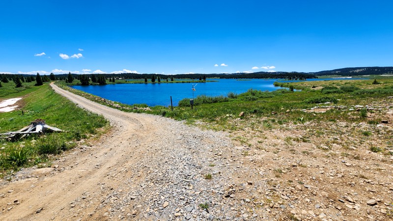
Traveling along the eastern edge of a spectacular high alpine lake, Heart Lake is a fantastic trail for dispersed camping, fishing, and awe-inspiring views of the famous Flat Top Mountain Range. The trail travels between Coffee Pot Road and Blair Mountain and offers numerous campsite options, both lake-side and tucked between the trees. The northern half of the trail, connecting to Coffee Pot Road, is fairly rough, with small ruts and exposed flat rocks the size of dinner plates. This section of trail travels past a small, remote alpine lake with a couple of campsites and will require a high clearance vehicle to access. The southern half of the trail, traveling directly next to Heart Lake and connecting to Blair Mountain, is a well-maintained dirt road with many campsite options ranging in size from large group sites to small single tent sites. The trail's southern half is suitable for any vehicle and camp setup, including passenger cars, large trailers, and RVs.
Updated: 06/01/2024
Ditches Road
Mancos, Colorado
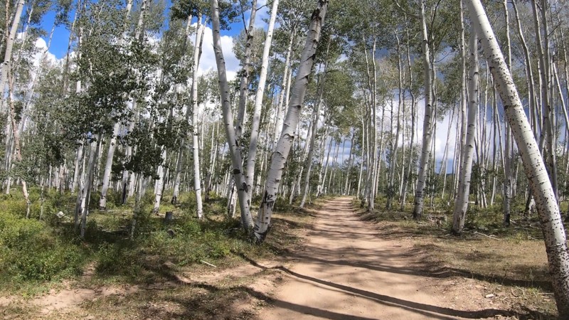
Located within the San Juan National Forest of southwestern Colorado is a vast network of trails that offer users a backcountry four-wheeling experience without all the trail traffic. Ditches Road is a mild 4x4 trail that leads up into the mountains above the town of Mancos. The trail has some mild challenges along the way but nothing a stock 4x4 couldn't handle when it's dry. The trail connects with others in the area to make for a truly enjoyable day on the trail. You can also choose to pick from one of the many great free campsites so you can have some extra time to truly take in the laid back atmosphere this region is known for.
Updated: 07/02/2026
Greenhorn Mountain Road
Fairview, Colorado
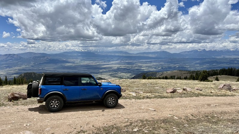
Beginning at the Ophir Creek Road and Gardner Road intersection, Greenhorn Mountain Road snakes its way southeast through the San Isabel National Forest. It is a well-maintained dirt road until the last half mile, where it becomes rougher with baseball size exposed rocks. There is an abundance of campsites, ranging from single-vehicle sites to sites large enough for an RV. As you travel from north to south, you are teased with views of the Sangre De Cristo Mountain. Upon reaching the end of the road at the Greenhorn Trail trailhead, you are finally rewarded with expansive views of the Sangre De Cristo Mountains. Near the end of the road, two emerald-green lakes provide the perfect backdrop for a picnic. Although OHVs are not allowed on Greenhorn Mountain Road, there are four OHV-only trails that connect to the road with a parking lot large enough for multiple trailers.

Upgrade your Membership
Unlock all of the details on every Trail Guide and Scout Route.
Start a 7-day Free TrialBrowse Trails in Colorado by City
Browse every Colorado city with offroad trail guides.
Community
Partners

