













By clicking "ACCEPT", you agree to be the terms and conditions of each policy linked to above. You also agree to the storing of cookies on your device to facilitate the operation and functionality of our site, enhance and customize your user experience, and to analyze how our site is used.
Colorado Off-Road Trails
602
Total Trail Guides 575

6450
Detailed Waypoints 568
Try a Free 7-Day Trial and unlock it all
Start a Free Trial Most Recent Trail Reviews
Rated 5/5
Open
Visited: 09/23/2026
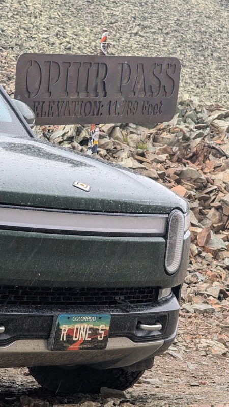
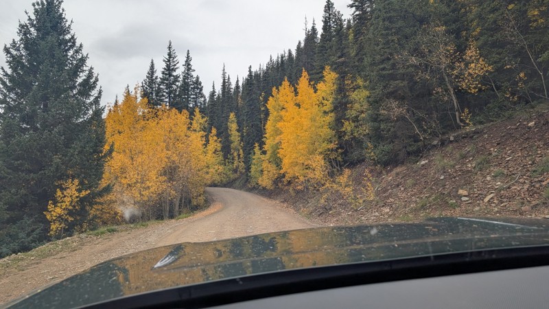
nice trail with good views. a classic in the San Juans... it's not quite as easy as 2 but not a true 3 either. Totally doable with a stock 4WD.


Mustafa ParDane
Official Crew
Rated 5/5
Open
Visited: 09/23/2026
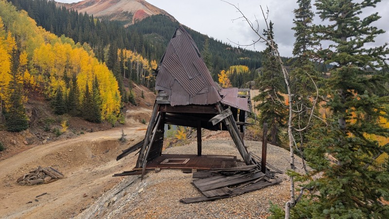
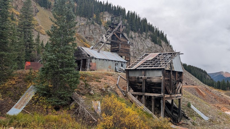
Nice fun easy trail! You will see lots of mines. I mean lots of them. If you are into it, this is the trail for you :)
Mustafa ParDane
Official Crew
Rated 5/5
Open
Visited: 09/23/2026
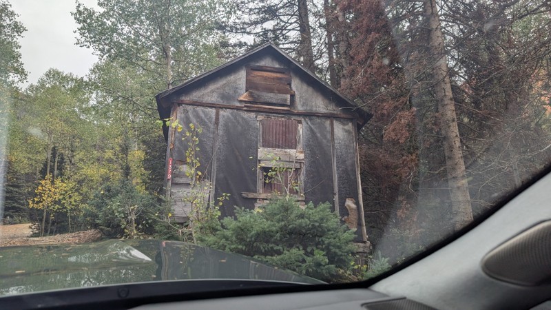
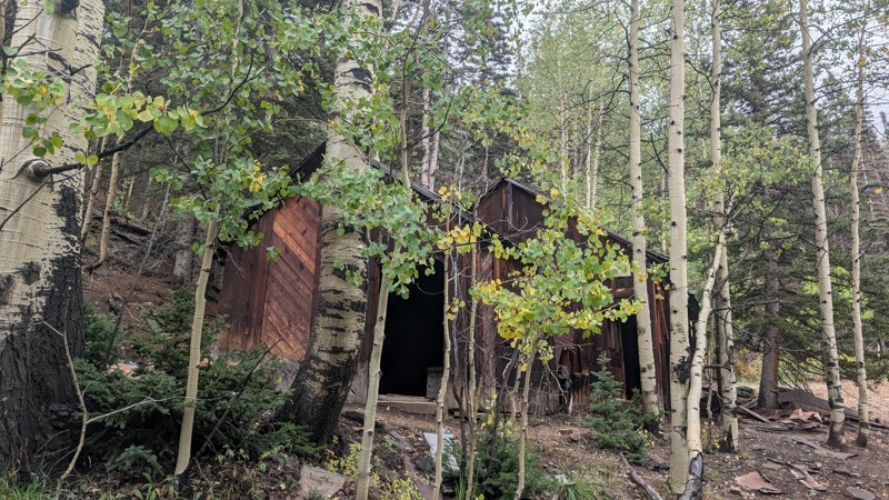
It's a steep climb all the way from the beginning to the top but there is no real obstacles. You will see some cool mines. And the views are awesome. You will see some good views of the Red Mountain p...
Mustafa ParDane
Official Crew
Rated 5/5
Open
Visited: 09/23/2026
We frequent this route probably once a week from GoG to Woodland Park. Be very careful on the blind curves - no shortage of knuckleheads driving way too fast (a biker was struck fatally in June). Us...
TC
Tim Crane
Rated 5/5
Open
Visited: 09/22/2026
Scenic road connecting to other alpine loop trails. it's not very technical or hard. but if you don't prefer shelf roads, maybe that can be considered hard. Red Mountain peaks are awesome. the scenery...

Mustafa ParDane
Official Crew
Rated 5/5
Open
Visited: 09/22/2026
Besides the shelf roads, there is not other bug obstacle or anything technical. As always, it has really good views :)


Mustafa ParDane
Official Crew
Rated 5/5
Open
Visited: 09/22/2026
Views are awesome as always with any alpine loop trails. There is a very short hike at the summit that takes you to even higher point with better views. Lake Como looks very good from there.


Mustafa ParDane
Official Crew
Rated 5/5
Open
Visited: 09/22/2026
Started from Lake City as most people recommend running the alpine loop clockwise. I think that was a wise choice because I didn't have a lot of ongoing traffic. The views are awesome and they start r...


Mustafa ParDane
Official Crew
Rated 5/5
Open
Visited: 09/22/2026
Tough trail, lots of technical spots throughout. Dont attempt solo or with any kind of stock truck!


Greg Dermann
Rated 4/5
Open
Visited: 09/22/2026
Just a dirt road with lots of potholes. Nothing technical. Drove this up to the 401 Trailhead to bike. Pretty busy with folks camping and leaf peeping. Overall it is in a pretty area and theres good c...



Davis McPherson
Rated 4/5
Open
Visited: 09/22/2026
Ok I have not run that trail in the last 4 years. I don't recall it looking like the photos. Did it recently get this way (rock garden) and get the difficult rating?
C
coyoteslocos
No Rating
Temporary Closure
Visited: 09/21/2026
Sign at the bottom of the hill says road construction but when you get to the turn off it is blocked.
PD
Paul Dixon
Rated 5/5
Open
Visited: 09/21/2026
Ran the trail from Westcliff side over the pass and into Great Sand Dunes NP. Had great weather. Don't think it had rained much in the days prior. So, the trail was dry. Think the difficulty ratin...



Stephen
Rated 5/5
Open
Visited: 09/21/2026
Id put it at a 3 some larger rocks mud and shelf roads: beautiful trail. Highly recommend.


Brian mckie
No Rating
Open
Visited: 09/21/2026
There is an area towards the end of this trail not long before it opens into the meadow that is very shaded and has become a mud hole. Well, somebody with a vehicle not capable enough to get through i...

Curt Greeley
Rated 5/5
Open
Visited: 09/20/2026
Ran this trail for the first time on 9/20/26. Absolutely stunning views and the leaves were almost at peak. This might be my new favorite trail to run during this time of year. Not difficult, but long...



Jack Mackie
Rated 4/5
Open
Visited: 09/20/2026
I wanted to run this trail on my way out from the gulches area but when I got down to the first stream crossing it had a few large logs placed in it. Im not sure if this is for traction or what, but I...
Jack Mackie
Rated 5/5
Open
Visited: 09/20/2026
First time out here and I ran this alone on 9/20/26 coming back from Old Stage 220. Took Sportsman Rd to get to 220 so I decided to take this to trail to get back to Cedar Mtn Rd. This is more fun tha...
Jack Mackie
Rated 5/5
Open
Visited: 09/20/2026
This is one of my favorite trails. I like to start at St. Mary's and run it in reverse lf this trail guide. I prefer to take most of the steep sections downhill, but if you want a fun challenge, then ...


Tim
Rated 5/5
Open
Visited: 09/20/2026
Ran this on 9-20-26 up to the Phoenix rocks. WK2 3" lift on 33's. Never been in this area before but I have read many of the reviews on here about the gulch trails. I was alone and the phoenix rocks w...

Jack Mackie
SH
Sharon Hansen
Rated 5/5
Open
Visited: 09/20/2026
Maiden voyage for my stock suspension 1994 Wrangler. The trail was surprisingly rocky in the beginning. Beautiful views and not too much traffic.
SH
Sharon Hansen
Rated 2/5
Partially Open
Visited: 09/20/2026
While there were some aspen views, this is not the best place to find them. Most of the views of the surrounding area are obscured by pine trees that are close to the road. Many of the overlooks are o...
MG
Mike Gerdts
Rated 4/5
Open
Visited: 09/20/2026
We enjoyed the trail. Beautiful scenery. Definately narrow in some areas. The terrain itself wasn't so difficult. Clearence is needed for some of the rocks in the trail.


Lisa Johnson
Rated 4/5
Open
Visited: 09/19/2026
Ran it in a 157"WB F150 on 33's, and would probably run it in a passenger car. Great views, easy climb and the switchbacks were totally navigable in a fullsize. Some of the roads on top are more app...
J
Justin
Rated 5/5
Open
Visited: 09/19/2026
The last descent at the end is kind of muddy so take it extra slow.



Joshua Scurran
Rated 5/5
Open
Visited: 09/19/2026
Ran east to west. The ascent at waypoint 14 has been cleaned up considerably - not sure if this was the work of the recovery crew we passed who were headed up Mt Baldy road, but it was much less rocky...

Jeff Dew
JG
Joseph G Botthof III
No Rating
Temporary Closure
Visited: 09/19/2026
Following up on Ryan's post, multiple incidents have occurred of vehicles sliding off the trail at washouts. CO4x4RNR was up yesterday recovering a vehicle, and we were told the trail will remain clo...

ERIC D BROWN
Rated 5/5
Open
Visited: 09/19/2026
Epic views at the top make this in and out road a must see on my list. Shelf roads with a few areas for passing. Switchbacks and 12"-18" boulders in only a few places to navigate. 4wd and good clearan...



Desi
Rated 5/5
Open
Visited: 09/19/2026
Expect closures Sept 21-24 for pipeline maintenance starting near the trestle. Perhaps related, there’s a rusty 4-6” pipe sticking out of a puddle near the trailhead at the top.
It’s been a bit rai...

MG
Mike Gerdts

Kirk Kneezle
Kirk Kneezle
Kirk Kneezle
WH
William Harkcom
Rated 5/5
Open
Visited: 09/18/2026
Great trail. Lots of fun, great views. Loved all the rock outcroppings.



Jessica H
Rated 5/5
Open
Visited: 09/18/2026
Short but fun. Right mix of technical and scenic. Ran this with Solitude Creek. Great views but that initial climb looked daunting but once you get into it wasn’t that bad.


Jessica H
No Rating
Temporary Closure
Visited: 09/18/2026
Forest Service has closed the trail due to washout damage. No ETA yet on fixes or reopening.


Ryan Boudreau
Official Crew
No Rating
Open
Visited: 09/18/2026
Only drove it to the Chinns Lake cutoff, but that part was in great condition. They've recently laid down new gravel on the lower portion in the neighborhood, it is super smooth.
S
Scott
No Rating
Open
Visited: 09/18/2026
Great condition. Only tough spot is some deep holes just before you get to the lake, otherwise it's easy. The mud holes are deeper than I remember, but it's been raining quite a bit. Lake is very, ...
S
Scott
No Rating
Open
Visited: 09/18/2026
We ran it downhill from the Miner's Gulch area. It's an easy descent thru the forest, a few rocks here and there, nothing major. Nice view of the aspens and rain clouds moving thru the area. Decent...
S
Scott
No Rating
Open
Visited: 09/18/2026
Mostly moderate, but a few spots are pretty rough with unavoidable and awkwardly placed boulders - stock vehicle are likely to hit their rocker panels. Good approach angles and rock sliders are your...
S
Scott
Rated 5/5
Open
Visited: 09/18/2026
Trail is in great condition, views from the top are magnificent.
S
Scott
Rated 4/5
Open
Visited: 09/18/2026
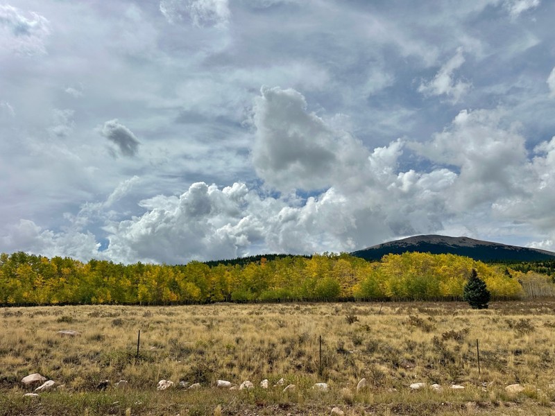
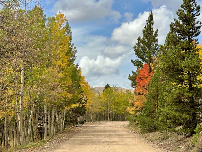
Went up for the aspens and I’d guess, for the most part, they’re maybe a few days past peak. Ran it in “reverse” starting from the east trailhead and there was still plenty of good color to see. Close...

Scott Bram
Rated 5/5
Open
Visited: 09/18/2026
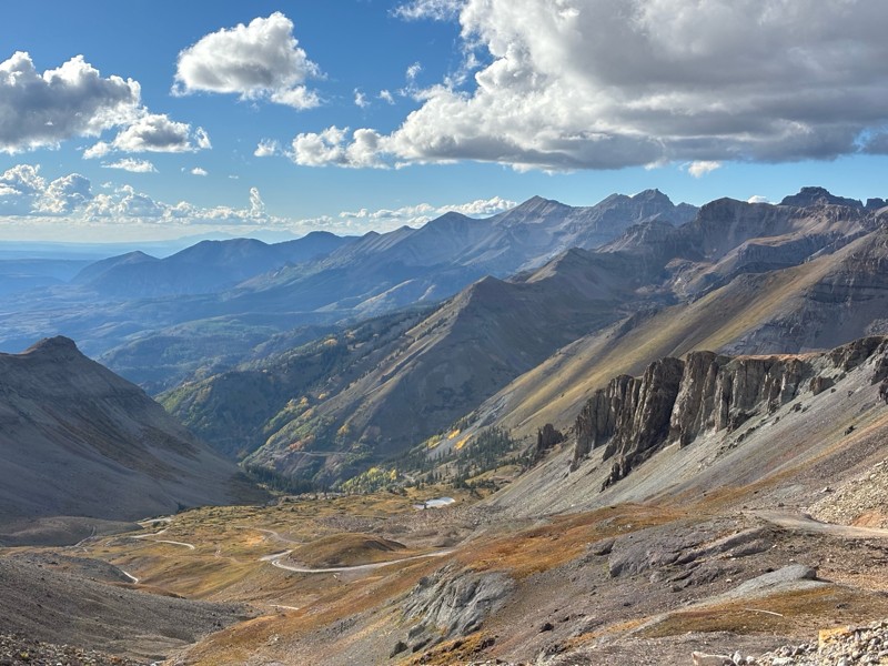
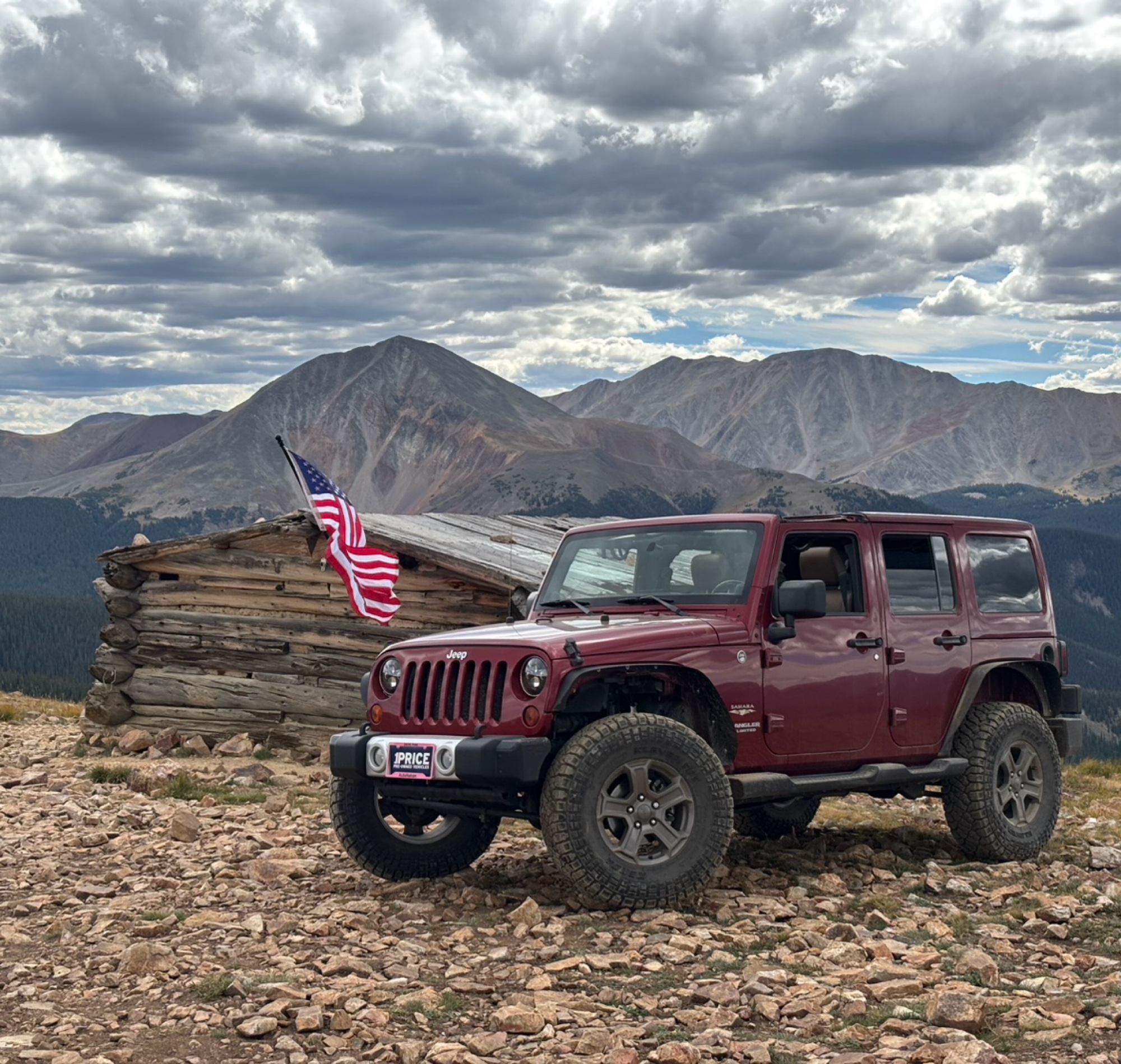
Ran the trail starting in Telluride on Friday the 18th. The trail is open the whole way through to Ouray. Very little dust thanks to all of the rain lately made our first time on Imogene very pleasant...
Matthew Stef
Rated 5/5
Open
Visited: 09/18/2026
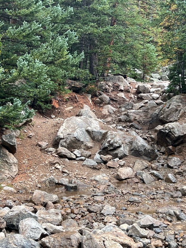
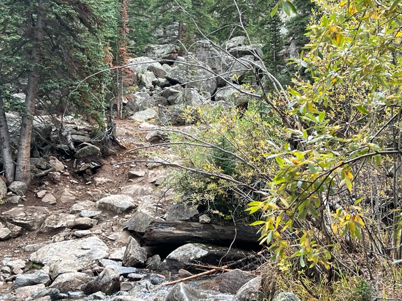
Fantastic views. Great time of the year to go - less likely to need to pass other vehicles on some steep ascents. The “gatekeeper” obstacle and narrow (no room to pass) sections are the major conside...
TK
Tarik Khatib
Rated 5/5
Open
Visited: 09/18/2026
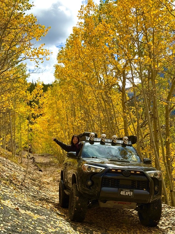
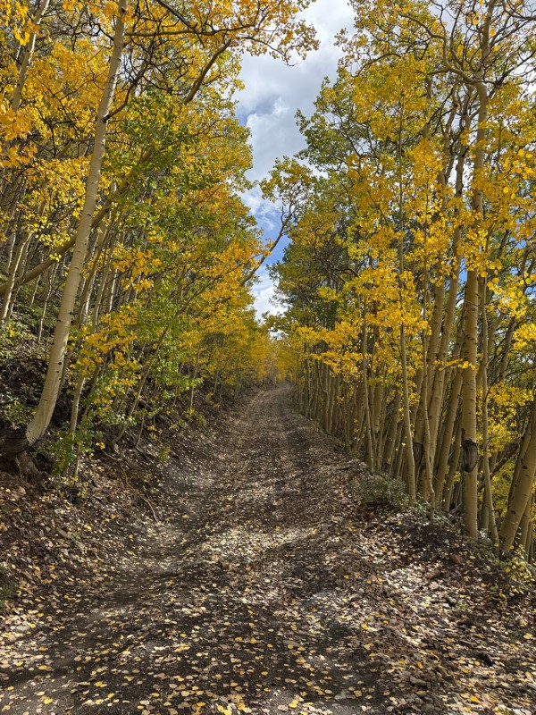
We honestly didn’t mean to take this road but ended up on this road on accident looking for a way to get from Georgia pass to Breck. The colors were amazing!! We came east to west so we were heading d...
V
Vince
Rated 5/5
Open
Visited: 09/18/2026
Beautiful trail. Fun whoops and a pretty rocky section. Would definitely recommend not taking the family sedan.
Wade Williams
Most Popular
Updated: 09/04/2024
Denarious Mine Road
Georgetown, Colorado
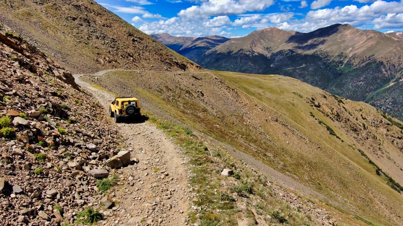
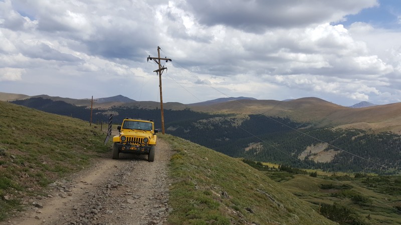
Denarious Mine Road, winding around the imposing Ganley Mountain, provides an exhilarating off-roading journey that challenges the nerves and awakens the senses. Skirting the mountain's flanks, this thrilling shelf road challenges drivers with narrow paths that overlook stomach-churning drops of over 3000 feet. But, the sheer adrenaline is balanced by the inspiring grandeur of the surrounding Colorado landscape. From your lofty vantage point, panoramic vistas reveal deep valleys, towering peaks, and the vast, rugged beauty of Colorado's wilderness. With its intense thrill and awe-inspiring scenery, Denarious Mine Road is an experience that can ignite an undying passion for shelf roads and forever serve as a humbling encounter that reminds us how nature commands respect for the balance of its beauty and danger.
Updated: 07/21/2024
Santiago Mine
Georgetown, Colorado
Santiago Mine is a nearly 100-year-old site that contains one of the best-preserved mines in the area. The mine was opened in 1935 and many of its features remain in remarkable condition today. The USFS was able to get the site declared historical in 2013. Prior to that, it had been for sale for a cool $33,000,000. After the Forest Service turned it into a historical site, they announced temporary closure and clean up of the site. While that information has been hard to come by through official sources, this is the last update from the Forest Service was the closure announcement in 2015. At that time, the Forest Service indicated that the site may be preserved further and turned into an official historical site that people can visit without causing damage to the site. Though information has been hard to come by officially, this is what we know about the restoration process at the mine from sources on the ground and the contractor's website.
Lead and other dangerous mineral remediation was completed in the summer of 2016. This summer they are working on filling in the soil, directing water runoff, and revegetation. How and when the work will be complete is unknown at this time. Trailsoffroad has not been able to find out if there are official plans for this site once the cleanup was done. We will be keeping a close eye on the progress and in touch with Clear Creek County about the progress and plans for this site and report them here.
This trail is still worth running out and back. The views of the valley are great, you can even see the snow-crushed remains of a pickup truck and the over 100-year-old telephone lines that carried some of the first intercontinental phone calls. At its peak, this phone lines carried a whole six telephone lines.
Enjoy the trail and do not trespass at the mine but feel free to admire it from afar.

Updated: 06/14/2025
Ohio Creek
Crested Butte, Colorado
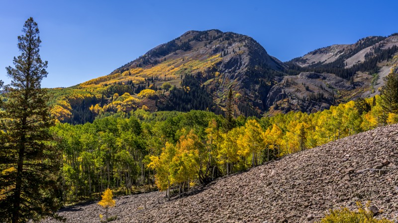
Ohio Creek is a dirt alternative to Highway 135 between Gunnison and Crested Butte. The entire road is 23.2 miles long, with only 11 unpaved miles. The dirt portion of this road is not difficult and suitable for most vehicles, but the northern 6.7 miles of the road are extremely rough with many potholes, small protruding rocks, and severe washboard. In addition, the road is only 1.5 vehicles wide or slightly less along the northernmost 2 miles. This narrow stretch of road makes it unsuitable for trailer and RV traffic, and exceptionally wide vehicles might find it difficult to pass oncoming traffic.
Ohio Creek provides spectacular views of Ohio Peak and the Anthracite Range, part of the West Elk Mountains. The road passes the Beaver Ponds and Swampy Pass hiking trailheads, offering one vault toilet. A small handful of dispersed campsites can be found along the northern half of the road, but no campgrounds or other amenities can be found. Large, mature aspen groves showcase amazing fall viewing opportunities and provide heavy shade in the warmer months.
Updated: 10/29/2023
Boletes
Lake George, Colorado
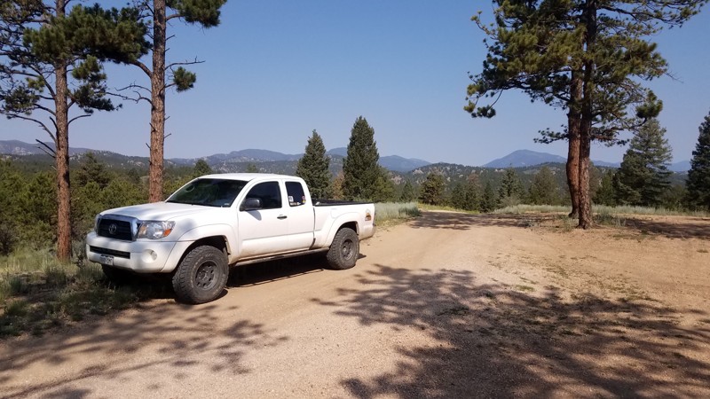
Wanna get away? Blue Mountain is a true hidden gem for camping and easy trails close to Colorado Springs. A bolete (pronounced "bow-leet") is an edible mushroom common to the area. Boletes (a.k.a. Blue Bird Mine Road), west of Blue Mountain, is one of the very few mining roads in an area that was dominated by cattle ranching in the late 1800s. The trail features some excellent, trailer-accessible, dispersed campsites open year-round.

Updated: 06/19/2024
Bull Mountain
Walden, Colorado
Bull Mountain is one of the many off-road trails located in the Colorado State Forest. The road is used to access the ridge atop of Bull Mountain and is an easy off-road experience for novice drivers. It is also open in the fall to access hunting areas and becomes a snowmobile route in the winter months. Bull Mountain is a multiple use trail that is available for vehicles, OHVs, mountain bikes, and horseback.
Updated: 03/21/2026
Baxter Pass
Mack, Colorado
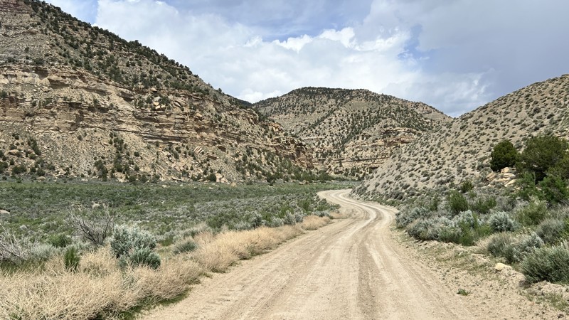
Baxter Pass is a historic corridor that follows the Uintah Narrow Gauge Rail Line built between 1905 and 1906. The rail line was originally used to haul an additive substance known as Gilsonite. Gilsonite was used in asphalt, inks, paints, and oil-drilling fluids. The rail line existed until 1939 when trucks were utilized for hauling. What remains today is a long stretch of road and one remaining building, a machine shop. The road is comprised of hard-packed dirt, with rocky sections near the top of the pass. On the near south side of the pass, the road narrows to only one vehicle width wide, where caution will be required for any oncoming traffic. It can be traveled in either direction and takes you through six wide canyons. As you drive through the canyons, an oil and gas line is a visual cue for most of the trip. Suitable for any high-clearance vehicle in dry conditions. As the r ad weaves mostly through private property, there is no camping.
Updated: 12/11/2025
Arrastra Gulch
Silverton, Colorado
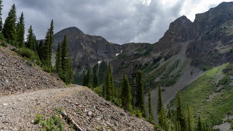
Climbing up its namesake gulch, the Arrastra Gulch offroad trail is a narrow shelf adventure with plenty to see. No significant obstacles block this trail, but its steep grade on a loose talus shelf warrants a confident driver and a vehicle with a low-range transfer case. Cable towers and carts sit above your head, giving a glimpse into the past of how they once transferred the minerals from clear up top in the gulch down into the valley.
Updated: 10/09/2024
High Park
Alma, Colorado
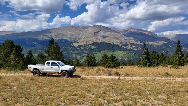
With thrilling rocky climbs and high alpine views, High Park offers the perfect mix for the stock 4x4 crowd. More challenging than nearby Crooked Creek and Beaver Creek, but less harrowing than Wheeler Lake and much shorter than Mosquito Pass, High Park is the perfect middle ground.
Updated: 06/29/2026
Turret Trail
Whitehorn, Colorado
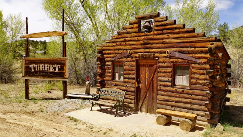
The Turret Trail leads to the old ghost town of Turret, Colorado, and is the only road into, rather than around, Browns Canyon National Monument. The first few miles are a graded county road until you get to the Turret ghost town, which is privately owned and has interesting old buildings you can view from the road. Turning left on the main road through town brings you to the hiking trailhead for the Austin Trail, which goes to one of the main attractions in Browns Canyon National Monument called Railroad Gulch.
Past Turret, Forest Road 184 becomes a one-lane dirt track. Though the road remains easy, the terrain becomes more rugged as you enter Browns Canyon National Monument. The trail winds through a series of scenic hills and valleys with frequent views of towering rock formations nearby and the Collegiate Peaks in the distance. The road eventually dead-ends at a washed-out gully a few hundred yards short of where the endpoint is shown on the MVUM. Beyond that point, it turns into a scenic but seldom-used hiking trail entering the Browns Canyon Wilderness Study Area.
Dispersed camping is allowed along this trail, and there is one notable campsite up a short spur with spectacular views of the Collegiate Peaks and the Arkansas Valley. Even though it's in a national monument, this road is very lightly used and unlikely to be crowded even on holiday weekends. Turret Trail is a true hidden gem in the Salida area.
Updated: 02/04/2024
Pawnee Grasslands-Keota Loop
Briggsdale, Colorado
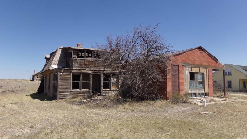
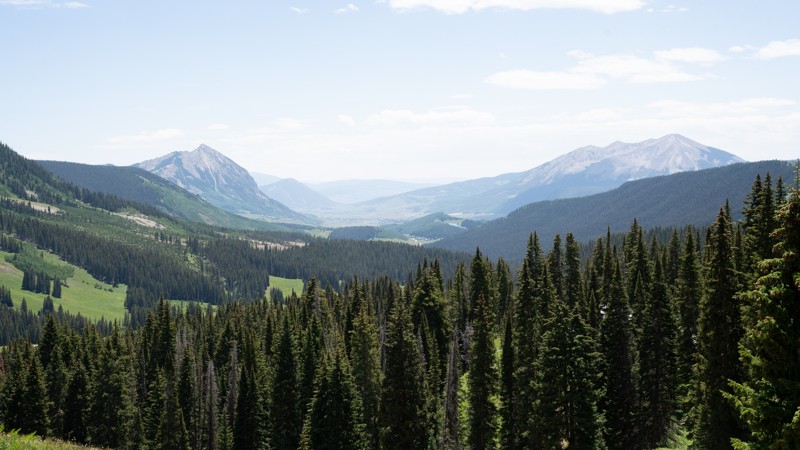
Sprawling across the plains northeast of Greeley, Colorado, the Pawnee Grasslands are crisscrossed by a network of gravel county roads and 2-track dirt Forest Service Roads. These easy roads offer an alternative to the usual mountain ‘wheeling of the Colorado Rockies, especially from late fall to early spring when many of the mountain trails are snowed in. This route through the back roads begins and ends at the tiny ghost town of Keota. Once a bustling farming town, Keota succumbed to the boom and bust economy of the high plains as many of the surrounding farms were abandoned or sold back to the government during the dust bowl and the Great Depression. Now, with the boom of oil development, several of the properties are showing signs of restoration and use again. The trail itself passes picturesque windmills and modern oil extraction facilities as it winds its way around a low, rocky hill on the prairie.
Updated: 08/04/2026
Washington Gulch
Pittsburg, Colorado
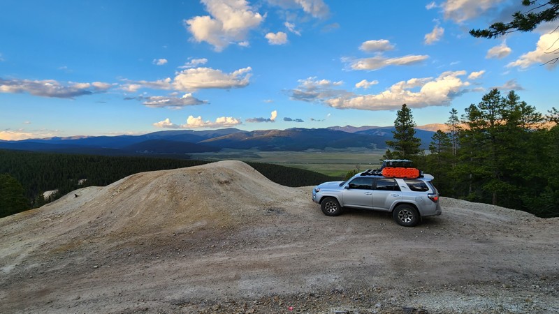
Washington Gulch is an easy trail that lies just north of the mountain town of Crested Butte. This trail will take you through picturesque meadows of wildflowers and jaggedly mountainous backdrops the area is known for. This trail is a camper's paradise if you don't have a built rig, with 47 different designated campsites to choose from. Camping is restricted to designated sites only. AWD vehicles and vans will have no problem completing the entirety of this trail. This trail has a bit of private land along the way, including the abandoned mining ghost town of Elkton, so if you see any private property signs, please respect them and do not camp or intrude on this land. If you are a biker or hiker, check out the Snodgrass trail network at the beginning of this trail. The biggest downside to this trail is that it is highly accessible, which means the campsites fill up fast, especially in peak season. Plan accordingly if you plan on camping out here, as it is a very popular spot.
Updated: 07/02/2026
Saint Kevin Road
Leadville North, Colorado
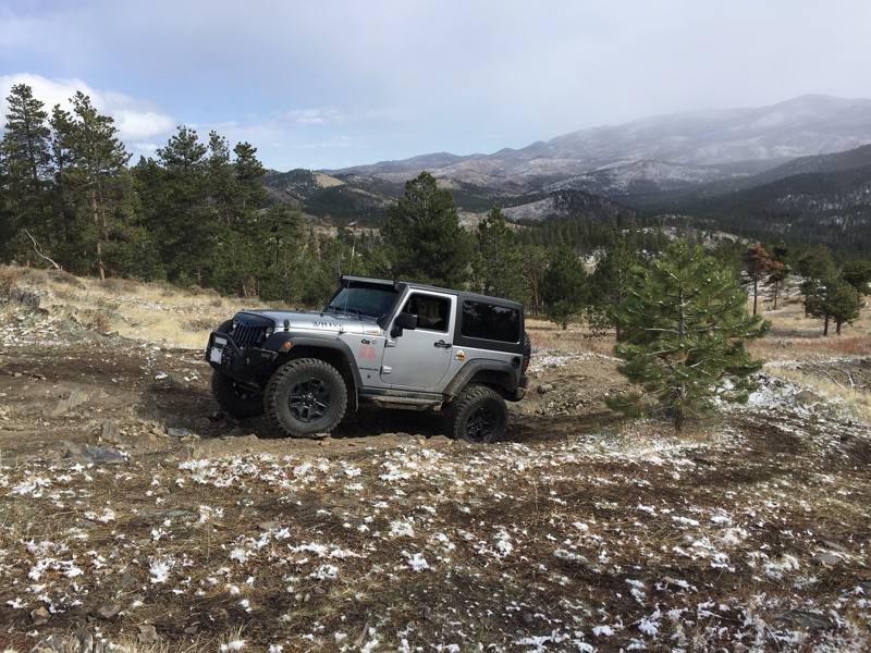
Saint Kevin Road connects Turquoise Lake Road to Bear Lake Road and requires a 4WD vehicle. The trail begins as a county road and then enters the San Isabel National Forest. The scenic drive takes you by large mines that are no longer in use. This trail gets narrow, steep, and rocky as it weaves into the forest and further up the mountain. There are a few campsites along this trail closer to the base of the mountain. Additionally, there are several developed campgrounds on the western end of nearby Turquoise Lake.
Updated: 06/19/2024
Salt Cabin Park Road
Laporte, Colorado
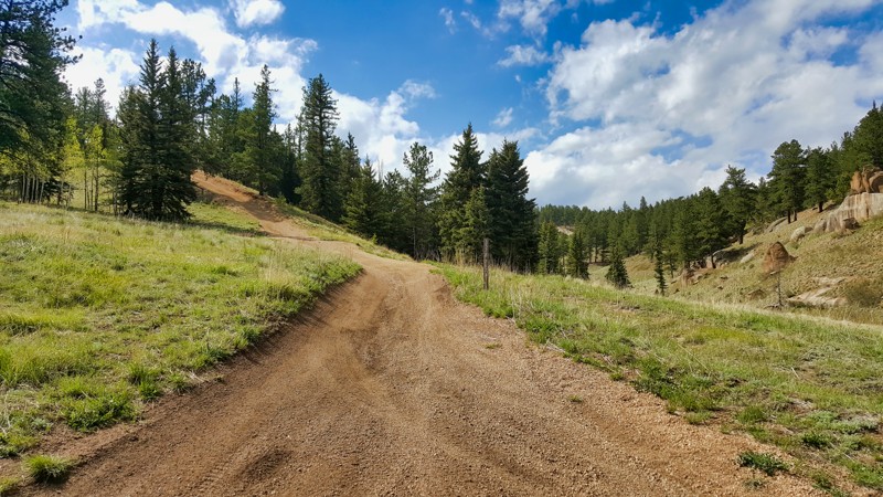
Located west of Fort Collins along the Crown Point Road (USFS 139), Salt Cabin Park Road is an easy mountain road that offers plenty of dispersed camping opportunities that are off the beaten path. Near the Poudre River and the Comanche Peak Wilderness area, Salt Cabin Park Road is popular with hunters setting up a base camp for the harvest season. If you are feeling like a healthy hike is in you, a B-17 WWII bomber crash site lies in the backcountry east of Crown Peak, several miles south of Salt Cabin Park.
Updated: 02/19/2024
Lower Rule Creek Spur
Divide, Colorado
Lower Rule Creek Spur, tucked away in the vibrant wilderness near Divide, CO, is a compelling trail that promises an immersive off-roading experience. As a tranquil off-shoot of the scenic Rule Ridge Road, this trail retains the charm of its parent route while offering a more isolated alternative. It winds through vibrant aspen groves and dense pine forests, creating an oasis of natural beauty untouched by past wildfires nearby. Despite its serene atmosphere, Lower Rule Creek Spur is not devoid of adventure. Mild rocky patches and inclines challenge drivers just enough to add a sprinkle of excitement to the journey. Ideal for drivers of all skill levels, this trail offers a captivating fusion of tranquil wilderness, stunning landscapes, and offroad fun.
Updated: 10/15/2024
San Miguel County Road 58P
Sawpit, Colorado
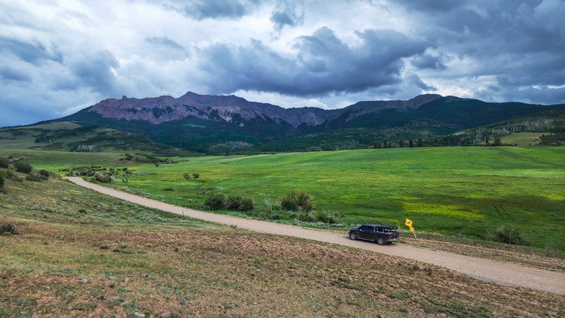
Just west of Telluride, County Road 58P is a dirt road connector between the town of Sawpit and Last Dollar Road. After quickly climbing the ridge out of Sawpit, this road becomes a high-speed dirt road alternative to Highway 62. This road is a well-maintained, graded dirt road with speed limit signs of 40MPH. The road travels entirely through private property and passes a number of very large ranches in the area, including the Hastings Ranch. There is no camping along this route due to the private property, and the entire road can be traversed in about 20 minutes. 58P offers great views of the abundant grassland, Hastings Mesa, and North Pole Peak.
Updated: 08/11/2026
Ames Falls
Ames, Colorado
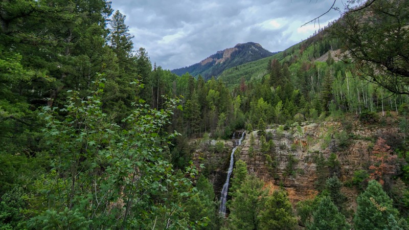
Just west of the town of Ophir, Ames Falls, an in-and-out rough little 4-wheel drive road, takes you to a few amazing waterfalls. The road first leads you past the Ames Hydroelectric Generating Plant, which was constructed in 1890 and was one of the first commercial systems to produce and transmit alternating current electricity for industrial use. Just past the plant, the road makes a sharp turn and begins climbing up a steep, tight, and rocky road. Not far up the trail is a Y-intersection that takes you to a small parking area that overlooks an unnamed waterfall. Behind that waterfall and down a short hiking path rests the elusive Mystic Falls. Back on the road, continuing straight past the Y-intersection leads to Upper Ames Falls, which are visible all the way from Highway 145. The road does pass some private property and eventually deadends at an intersection with the Galloping Goose Hiking Trail, not far from the upper falls.
Only one campsite was observed along this route, though it passes mostly through the national forest. Caution should be taken at the campsite, as multiple sinkholes appear to be forming.
Updated: 06/05/2022
Corcoran Wash/Dry Creek
De Beque, Colorado
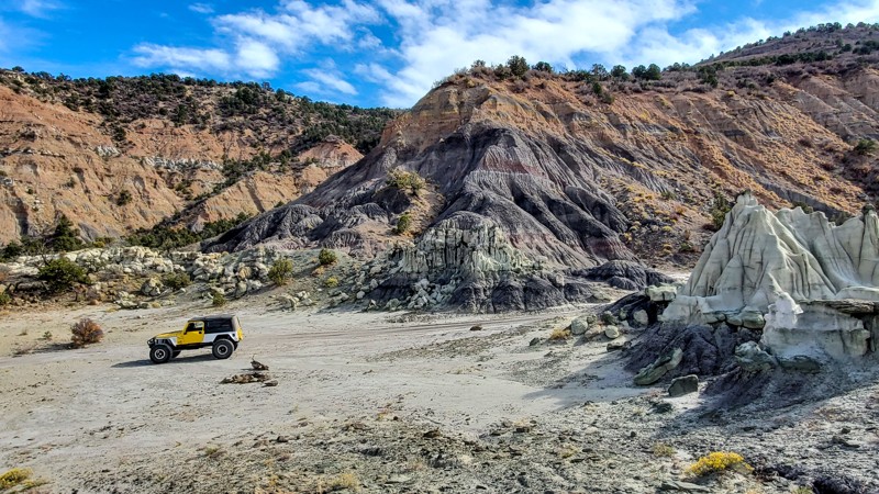
Located just west of De Beque, Colorado, Corcoran Wash brings you within arms distance of some of the most unique rock formations and colorful cliff faces you can find anywhere in Colorado. Used primarily as a connecting route, this trail can be combined with multiple other trails creating an all-day loop from De Beque and back. The trail skirts the edge of the Pine Gulch Fire, the largest fire in Colorado history at the time, and was used as the main fire break on the southeastern side of the fire. This trail offers great seclusion into the remote wilderness of the Bookcliffs.
Updated: 08/31/2026
Boss Reservoir
Garfield, Colorado
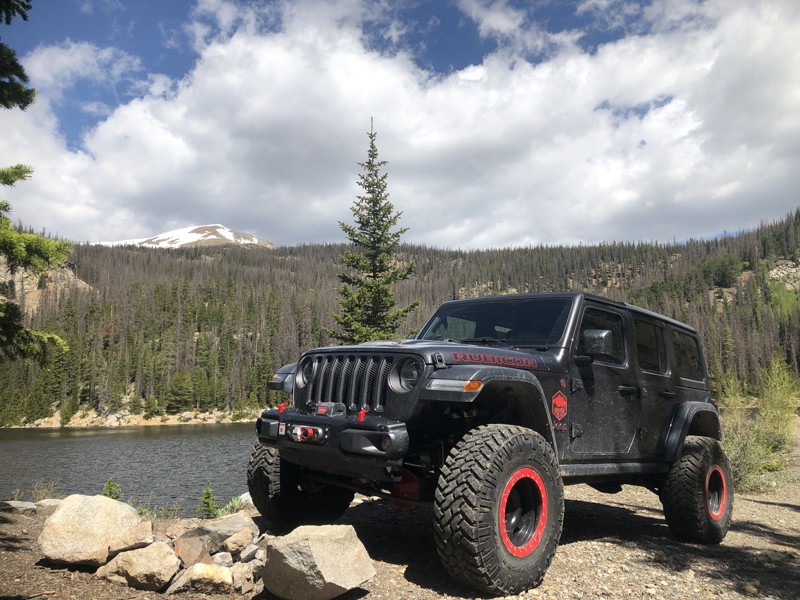
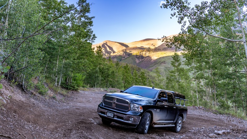
The Boss Reservoir Trail is a short route off the east side of Monarch Pass. The route will take you two miles into the forest from Highway 50 to the reservoir's banks. Fishing access is convenient, as the trail ends right at the lake. The road surface is mostly dirt with some rocky sections. A stock high-clearance 4x4 can complete the trail. Passing is difficult along the middle of the route so be sure to watch for wide places in case you need to pass another vehicle.
Updated: 06/04/2026
East Willow Road
Creede, Colorado
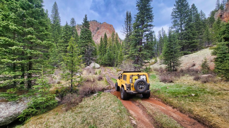
East Willow Creek is part of the historic mining district north of downtown Creede and begins at the junction of West and East Willow Creeks, a bustling intersection during the booming mining days. Most of the route is an easy, hardpacked dirt road passing a few dilapidated mining structures and old rail lines that made up the cliffside infrastructure. The road is two vehicles wide most of the way. It follows along East Willow Creek through thick brush that could potentially scratch paint at times, depending on your vehicle's width, but there are plenty of opportunities to pass oncoming traffic. Once reaching the intersection with 502.1A, the Phoenix Park Trailhead, the trail becomes slightly more narrow to around 1.5 vehicles wide, turns east uphill, and slowly climbs a rutty steep grade, making several switchbacks. This section between 502.1A and 503 is the most challenging part of the trail but can easily be traversed by any stock vehicle with good ground clearance and low gearing.
There are two dispersed campsites along the trail west of Phoenix Park. Both are relatively small but level and suitable for vehicle, tent, or hammock camping.
Updated: 05/04/2026
Gould Creek Road
Goldfield, Colorado
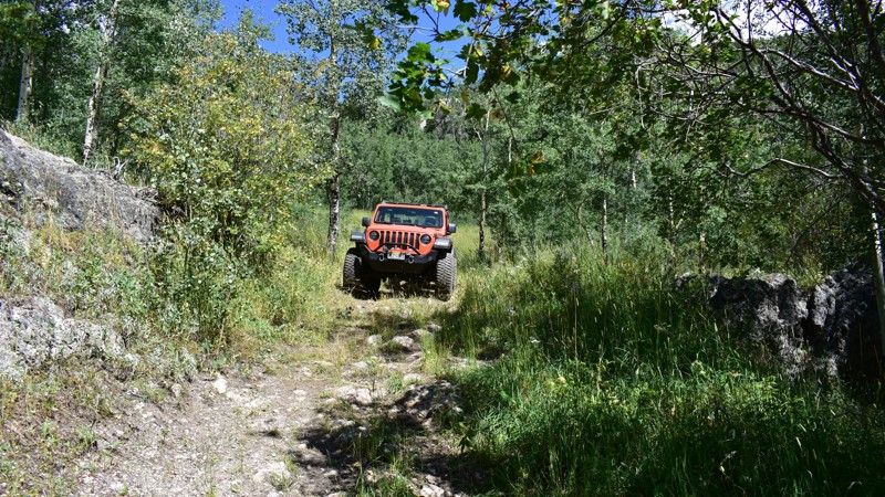
Gould Creek Road is a dead-end trail that offers a tranquil escape from the bustling activity of Gold Camp Road. This mild-to-moderate trail is a hidden gem with its serene setting and classic Colorado scenery. The path leads adventurers into quiet, picturesque environments, perfect for those seeking a peaceful outdoor experience.
Along the trail, there are excellent camping opportunities, allowing visitors to fully immerse themselves in the area's natural beauty. Gould Creek Road is an ideal choice for anyone looking to enjoy a less crowded slice of Colorado's wilderness, with the comforts of great camping spots and stunning scenery.
Updated: 06/20/2024
Storm Drain
Drake, Colorado
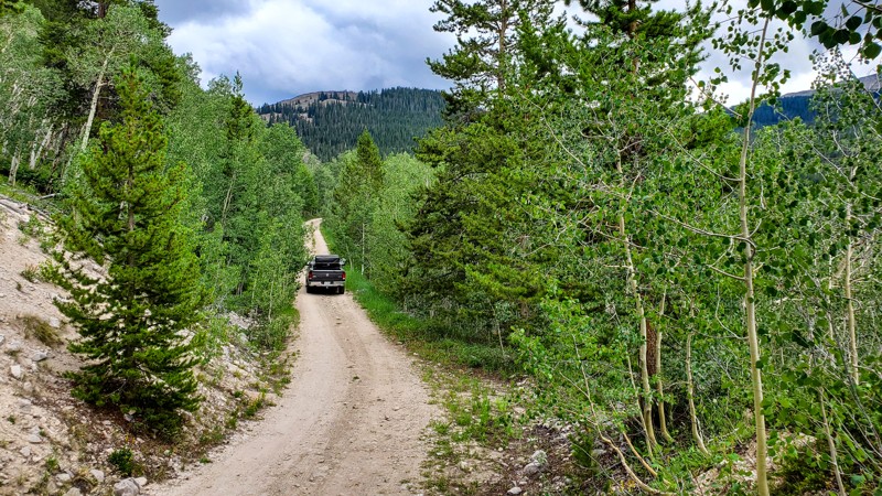
Once an exhilarating ride down the side of Storm Mountain, Storm Drain Road has been shortened over the years only to become a dead-end route. Although it has been lessoned from yesteryear, it remains a beautify route along the mountain's southern slope. Storm Drain is the local's name for this road when it was the most direct route that swirled down from the top of this foothill's peak. The trail does sport an awesome dispersed campsite that is not often occupied.
Updated: 05/21/2024
Nolan Creek
Eagle, Colorado
Located in the White River National Forest, Nolan Creek is an easy off-road trail that offers great camping opportunities, with some excellent forest scenery, abundant serenity, and endless miles of hiking opportunities. This road passes by the historic town of Fulford, which is known as the least populated town in Colorado. This town once housed as many as 600 people in the early 1900s, but by 2010, it only had 2 full-time residents. Explore the surrounding wilderness, and maybe you will just so happen to find the lost mining treasures that so many men have sought to find over the years.
Updated: 10/23/2023
EOS Mill
Bailey, Colorado
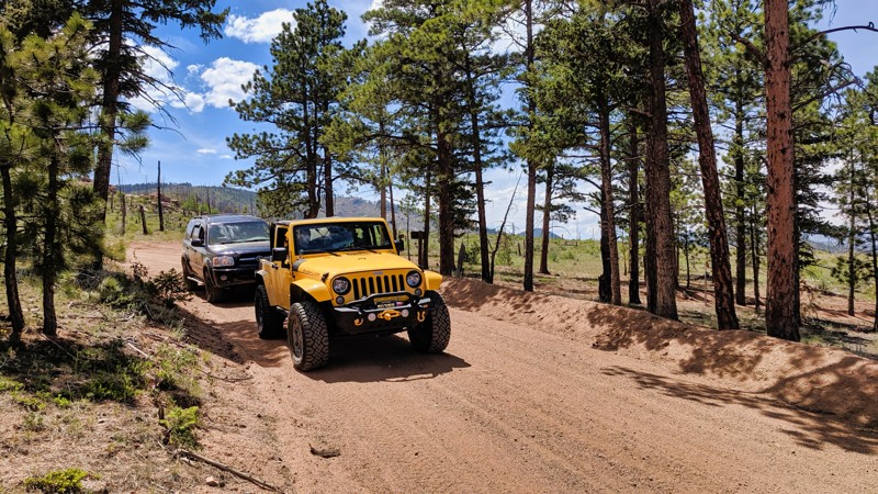
In the Buffalo Creek Recreation Area within Pike National Forest, EOS Mill Road is a lesser-known gem offering a serene drive-through of towering Colorado evergreens. This all-season trail owes its name to a historic sawmill that's been part of the local fabric since the early 1930s. As part of a diverse 25-square-mile network featuring multi-use trails and abundant camping opportunities, EOS Mill Road is a convenient connector to the renowned Colorado Trail (FS 1776). With an additional 50 miles of hiking and biking trails in the immediate vicinity, this trail serves as a tranquil gateway to many outdoor activities. It's an inviting route for those seeking both natural beauty and a touch of local history.
Updated: 06/29/2026
Champion Mine
Champion Mill, Colorado
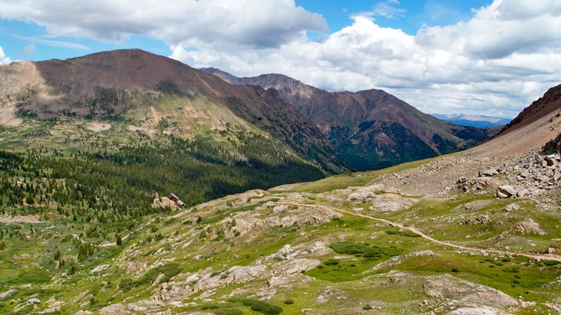
The Champion Mine trail is a continuation of the Halfmoon Gulch trail that takes users to a high vantage point overlooking the Champion Mill. The trail is far more challenging than its counterpart. It climbs sharply up an exposed, single-lane, rutty trail with several passing opportunities. Users will encounter a series of small rock obstacles while ascending to the saddle between Mount Champion and French Mountain. These obstacles could be difficult for stock SUVs, and skid plates are highly recommended for stock vehicles as they are nearly guaranteed to scrape the underbelly more than once during the trek. The official trail ends here in the saddle, before circling the backside of Mount Champion. Although a well-worn route continues up the mountain to the old Champion mine site, this is a private parcel and not open for public use.
It is not uncommon for lingering snow to keep this trail impassable well into the summer months. Snow blocks the trail at inconvenient locations, making it difficult to turn around. Users are encouraged to scout the trail for snow before attempting and reminded to always stay on the trail and not attempt to drive around snow drifts.
Since most of this trail is on steep slopes above the timberline, suitable camping is practically non-existent, but plenty of campsites can be found lower down along the Halfmoon Gulch trail.

Upgrade your Membership
Unlock all of the details on every Trail Guide and Scout Route.
Start a 7-day Free TrialBrowse Trails in Colorado by City
Browse every Colorado city with offroad trail guides.
Community
Partners

