













By clicking "ACCEPT", you agree to be the terms and conditions of each policy linked to above. You also agree to the storing of cookies on your device to facilitate the operation and functionality of our site, enhance and customize your user experience, and to analyze how our site is used.
Colorado Off-Road Trails
602
Total Trail Guides 575

6450
Detailed Waypoints 568
Try a Free 7-Day Trial and unlock it all
Start a Free Trial Most Recent Trail Reviews
Rated 5/5
Open
Visited: 09/23/2026
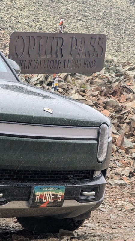
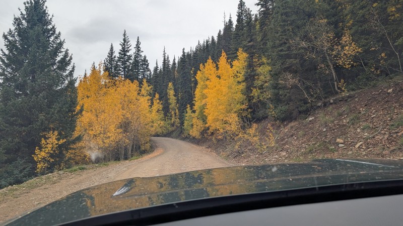
nice trail with good views. a classic in the San Juans... it's not quite as easy as 2 but not a true 3 either. Totally doable with a stock 4WD.


Mustafa ParDane
Official Crew
Rated 5/5
Open
Visited: 09/23/2026
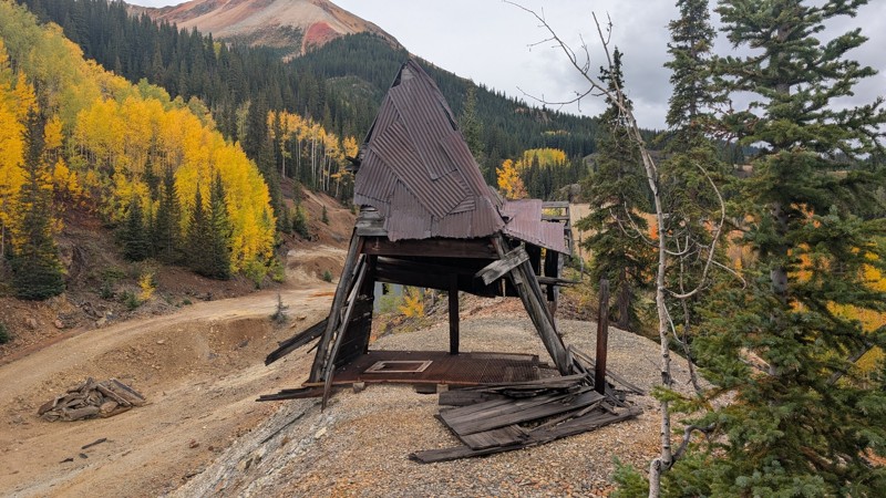
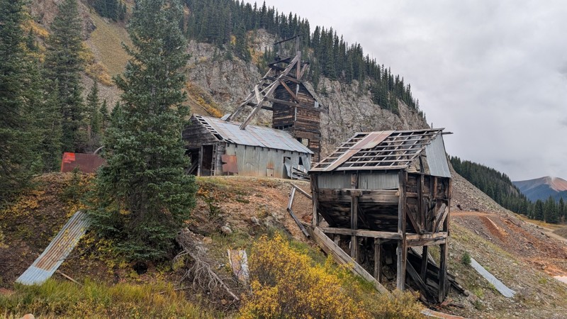
Nice fun easy trail! You will see lots of mines. I mean lots of them. If you are into it, this is the trail for you :)
Mustafa ParDane
Official Crew
Rated 5/5
Open
Visited: 09/23/2026
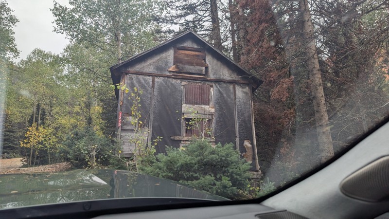
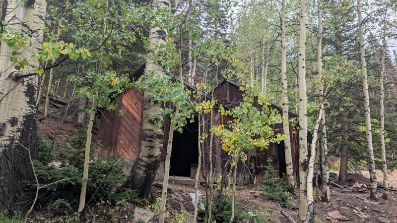
It's a steep climb all the way from the beginning to the top but there is no real obstacles. You will see some cool mines. And the views are awesome. You will see some good views of the Red Mountain p...
Mustafa ParDane
Official Crew
Rated 5/5
Open
Visited: 09/23/2026
We frequent this route probably once a week from GoG to Woodland Park. Be very careful on the blind curves - no shortage of knuckleheads driving way too fast (a biker was struck fatally in June). Us...
TC
Tim Crane
Rated 5/5
Open
Visited: 09/22/2026
Scenic road connecting to other alpine loop trails. it's not very technical or hard. but if you don't prefer shelf roads, maybe that can be considered hard. Red Mountain peaks are awesome. the scenery...

Mustafa ParDane
Official Crew
Rated 5/5
Open
Visited: 09/22/2026
Besides the shelf roads, there is not other bug obstacle or anything technical. As always, it has really good views :)


Mustafa ParDane
Official Crew
Rated 5/5
Open
Visited: 09/22/2026
Views are awesome as always with any alpine loop trails. There is a very short hike at the summit that takes you to even higher point with better views. Lake Como looks very good from there.


Mustafa ParDane
Official Crew
Rated 5/5
Open
Visited: 09/22/2026
Started from Lake City as most people recommend running the alpine loop clockwise. I think that was a wise choice because I didn't have a lot of ongoing traffic. The views are awesome and they start r...


Mustafa ParDane
Official Crew
Rated 5/5
Open
Visited: 09/22/2026
Tough trail, lots of technical spots throughout. Dont attempt solo or with any kind of stock truck!


Greg Dermann
Rated 4/5
Open
Visited: 09/22/2026
Just a dirt road with lots of potholes. Nothing technical. Drove this up to the 401 Trailhead to bike. Pretty busy with folks camping and leaf peeping. Overall it is in a pretty area and theres good c...



Davis McPherson
Rated 4/5
Open
Visited: 09/22/2026
Ok I have not run that trail in the last 4 years. I don't recall it looking like the photos. Did it recently get this way (rock garden) and get the difficult rating?
C
coyoteslocos
No Rating
Temporary Closure
Visited: 09/21/2026
Sign at the bottom of the hill says road construction but when you get to the turn off it is blocked.
PD
Paul Dixon
Rated 5/5
Open
Visited: 09/21/2026
Ran the trail from Westcliff side over the pass and into Great Sand Dunes NP. Had great weather. Don't think it had rained much in the days prior. So, the trail was dry. Think the difficulty ratin...



Stephen
Rated 5/5
Open
Visited: 09/21/2026
Id put it at a 3 some larger rocks mud and shelf roads: beautiful trail. Highly recommend.


Brian mckie
No Rating
Open
Visited: 09/21/2026
There is an area towards the end of this trail not long before it opens into the meadow that is very shaded and has become a mud hole. Well, somebody with a vehicle not capable enough to get through i...

Curt Greeley
Rated 5/5
Open
Visited: 09/20/2026
Ran this trail for the first time on 9/20/26. Absolutely stunning views and the leaves were almost at peak. This might be my new favorite trail to run during this time of year. Not difficult, but long...



Jack Mackie
Rated 4/5
Open
Visited: 09/20/2026
I wanted to run this trail on my way out from the gulches area but when I got down to the first stream crossing it had a few large logs placed in it. Im not sure if this is for traction or what, but I...
Jack Mackie
Rated 5/5
Open
Visited: 09/20/2026
First time out here and I ran this alone on 9/20/26 coming back from Old Stage 220. Took Sportsman Rd to get to 220 so I decided to take this to trail to get back to Cedar Mtn Rd. This is more fun tha...
Jack Mackie
Rated 5/5
Open
Visited: 09/20/2026
This is one of my favorite trails. I like to start at St. Mary's and run it in reverse lf this trail guide. I prefer to take most of the steep sections downhill, but if you want a fun challenge, then ...


Tim
Rated 5/5
Open
Visited: 09/20/2026
Ran this on 9-20-26 up to the Phoenix rocks. WK2 3" lift on 33's. Never been in this area before but I have read many of the reviews on here about the gulch trails. I was alone and the phoenix rocks w...

Jack Mackie
SH
Sharon Hansen
Rated 5/5
Open
Visited: 09/20/2026
Maiden voyage for my stock suspension 1994 Wrangler. The trail was surprisingly rocky in the beginning. Beautiful views and not too much traffic.
SH
Sharon Hansen
Rated 2/5
Partially Open
Visited: 09/20/2026
While there were some aspen views, this is not the best place to find them. Most of the views of the surrounding area are obscured by pine trees that are close to the road. Many of the overlooks are o...
MG
Mike Gerdts
Rated 4/5
Open
Visited: 09/20/2026
We enjoyed the trail. Beautiful scenery. Definately narrow in some areas. The terrain itself wasn't so difficult. Clearence is needed for some of the rocks in the trail.


Lisa Johnson
Rated 4/5
Open
Visited: 09/19/2026
Ran it in a 157"WB F150 on 33's, and would probably run it in a passenger car. Great views, easy climb and the switchbacks were totally navigable in a fullsize. Some of the roads on top are more app...
J
Justin
Rated 5/5
Open
Visited: 09/19/2026
The last descent at the end is kind of muddy so take it extra slow.



Joshua Scurran
Rated 5/5
Open
Visited: 09/19/2026
Ran east to west. The ascent at waypoint 14 has been cleaned up considerably - not sure if this was the work of the recovery crew we passed who were headed up Mt Baldy road, but it was much less rocky...

Jeff Dew
JG
Joseph G Botthof III
No Rating
Temporary Closure
Visited: 09/19/2026
Following up on Ryan's post, multiple incidents have occurred of vehicles sliding off the trail at washouts. CO4x4RNR was up yesterday recovering a vehicle, and we were told the trail will remain clo...

ERIC D BROWN
Rated 5/5
Open
Visited: 09/19/2026
Epic views at the top make this in and out road a must see on my list. Shelf roads with a few areas for passing. Switchbacks and 12"-18" boulders in only a few places to navigate. 4wd and good clearan...



Desi
Rated 5/5
Open
Visited: 09/19/2026
Expect closures Sept 21-24 for pipeline maintenance starting near the trestle. Perhaps related, there’s a rusty 4-6” pipe sticking out of a puddle near the trailhead at the top.
It’s been a bit rai...

MG
Mike Gerdts

Kirk Kneezle
Kirk Kneezle
Kirk Kneezle
WH
William Harkcom
Rated 5/5
Open
Visited: 09/18/2026
Great trail. Lots of fun, great views. Loved all the rock outcroppings.



Jessica H
Rated 5/5
Open
Visited: 09/18/2026
Short but fun. Right mix of technical and scenic. Ran this with Solitude Creek. Great views but that initial climb looked daunting but once you get into it wasn’t that bad.


Jessica H
No Rating
Temporary Closure
Visited: 09/18/2026
Forest Service has closed the trail due to washout damage. No ETA yet on fixes or reopening.


Ryan Boudreau
Official Crew
No Rating
Open
Visited: 09/18/2026
Only drove it to the Chinns Lake cutoff, but that part was in great condition. They've recently laid down new gravel on the lower portion in the neighborhood, it is super smooth.
S
Scott
No Rating
Open
Visited: 09/18/2026
Great condition. Only tough spot is some deep holes just before you get to the lake, otherwise it's easy. The mud holes are deeper than I remember, but it's been raining quite a bit. Lake is very, ...
S
Scott
No Rating
Open
Visited: 09/18/2026
We ran it downhill from the Miner's Gulch area. It's an easy descent thru the forest, a few rocks here and there, nothing major. Nice view of the aspens and rain clouds moving thru the area. Decent...
S
Scott
No Rating
Open
Visited: 09/18/2026
Mostly moderate, but a few spots are pretty rough with unavoidable and awkwardly placed boulders - stock vehicle are likely to hit their rocker panels. Good approach angles and rock sliders are your...
S
Scott
Rated 5/5
Open
Visited: 09/18/2026
Trail is in great condition, views from the top are magnificent.
S
Scott
Rated 4/5
Open
Visited: 09/18/2026
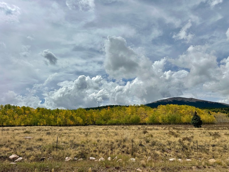
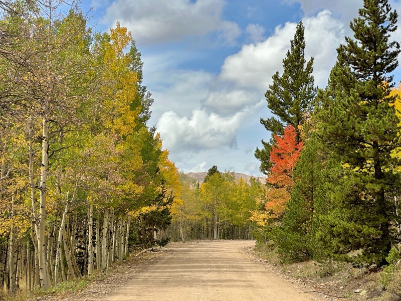
Went up for the aspens and I’d guess, for the most part, they’re maybe a few days past peak. Ran it in “reverse” starting from the east trailhead and there was still plenty of good color to see. Close...

Scott Bram
Rated 5/5
Open
Visited: 09/18/2026
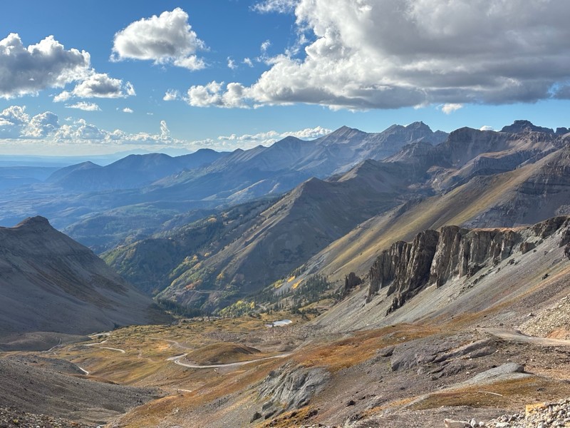
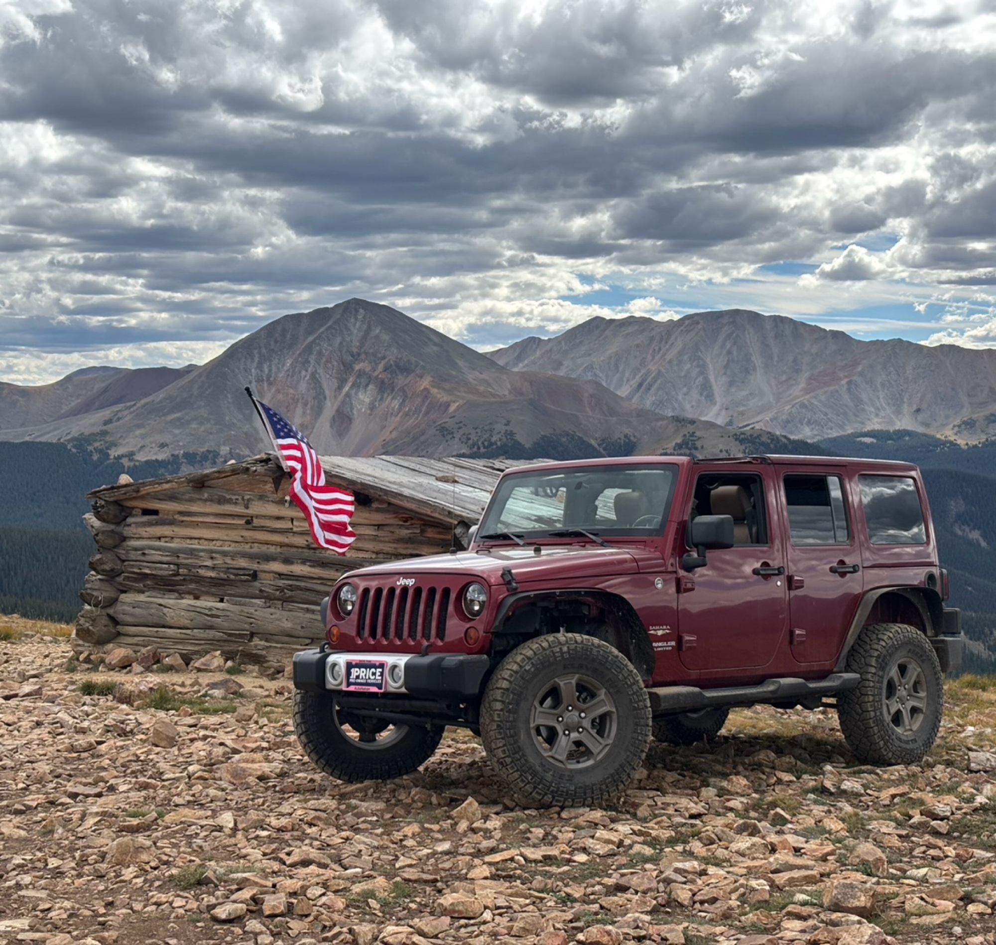
Ran the trail starting in Telluride on Friday the 18th. The trail is open the whole way through to Ouray. Very little dust thanks to all of the rain lately made our first time on Imogene very pleasant...
Matthew Stef
Rated 5/5
Open
Visited: 09/18/2026
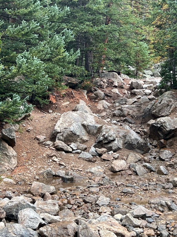
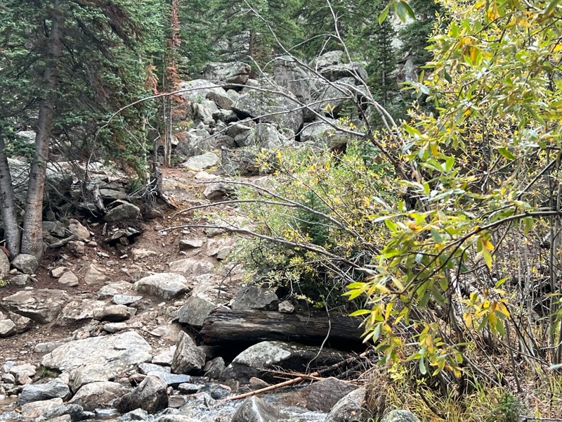
Fantastic views. Great time of the year to go - less likely to need to pass other vehicles on some steep ascents. The “gatekeeper” obstacle and narrow (no room to pass) sections are the major conside...
TK
Tarik Khatib
Rated 5/5
Open
Visited: 09/18/2026
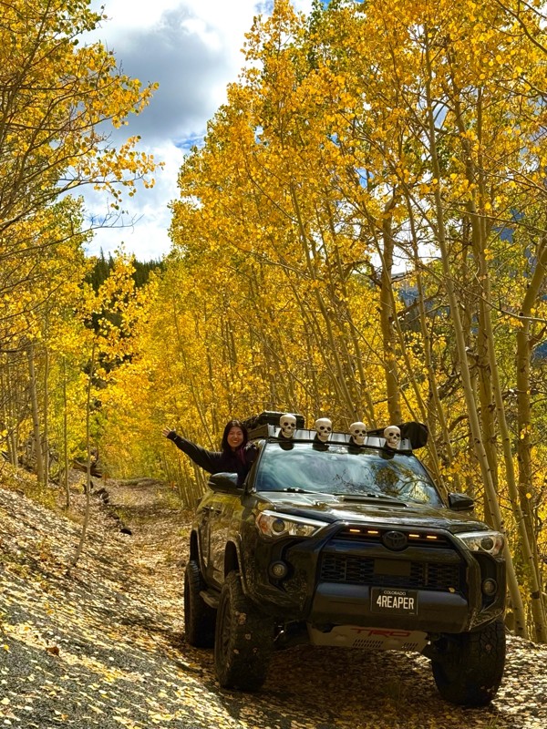
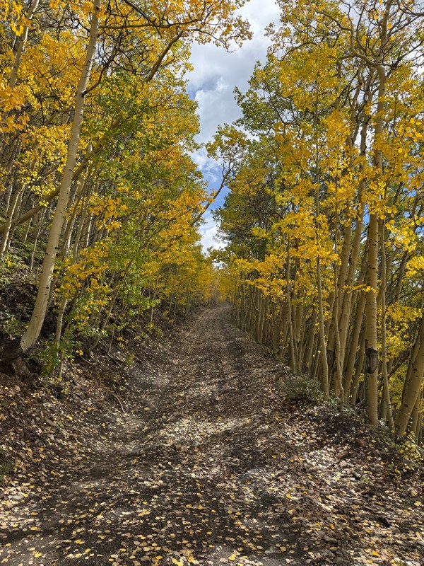
We honestly didn’t mean to take this road but ended up on this road on accident looking for a way to get from Georgia pass to Breck. The colors were amazing!! We came east to west so we were heading d...
V
Vince
Rated 5/5
Open
Visited: 09/18/2026
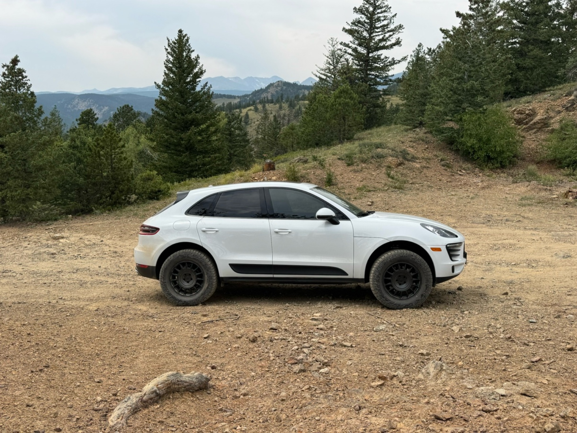
Beautiful trail. Fun whoops and a pretty rocky section. Would definitely recommend not taking the family sedan.
Wade Williams
Most Popular

Updated: 06/29/2026
Lost Canyon
Almont, Colorado
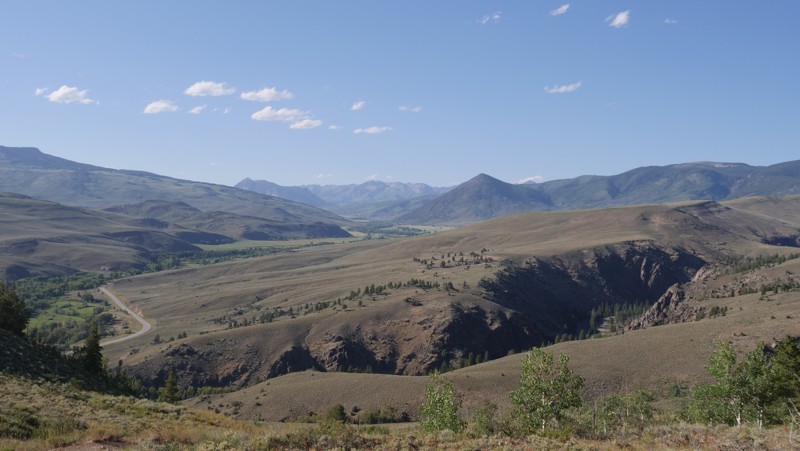
Lost Canyon is an offroad trail connecting Gunnison to Almont in a nice, scenic detour through BLM and National Forest land. This trail is a great option for a stock rig with a transfer case to camp and enjoy the great outdoors. This is one of those trails with an easy side and a harder side. The harder side starts in Almont and takes you up a few narrow, steep switchbacks with amazing views of the mountains north of Crested Butte. The easy side of the trail starts in Gunnison, which any passenger car can do, and ends up on the top of an Aspen-filled plateau that would be wonderful during the autumn season when the colors are changing. There are a handful of nice camp spots along this trail if you are looking for a quiet place to spend the night, as this trail doesn't see nearly as much traffic as the remainder of other popular trails in the area.
Updated: 10/31/2023
Crossons
Bailey, Colorado
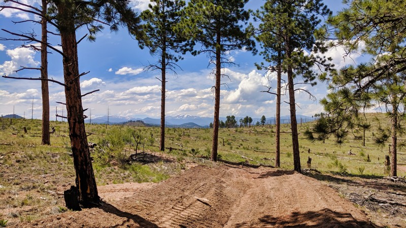
Just an hour from Denver, Crossons Trail offers a secluded escape within the bustling Buffalo Creek Recreation Area. Initially an old mining road, this route presents a tranquil alternative for those seeking solitude and expansive mountain vistas. The trail initially winds through a forested landscape before opening into a burn-scarred expanse, revealing breathtaking views of Pike's Peak and surrounding mountain ranges. While the remnants of Crosson's town are now private property, a 2.5-mile walk from the trail's end grants public access to those willing to be respectful. Offering both a serene backdrop and a tangible connection to Colorado's mining history, Crossons Trail is an unmissable, off-the-beaten-path experience.
Updated: 08/30/2026
Gunsight Pass
Crested Butte, Colorado
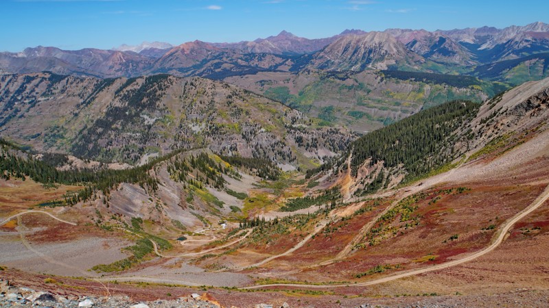
Gunsight Pass is a lesser-known but highly scenic trail near Crested Butte that spurs off the Paradise Divide loop. It starts at a parking area and trailhead for several nearby bike trails. The trail fords the Slate River next to a bike/pedestrian bridge, then climbs up through Wolverine Basin to a saddle with panoramic views at the summit of Gunsight Pass. The northern side of the pass is open to all vehicles, while the southern side is a mountain bike trail that descends to Kebler Pass Road.
The whole trail is moderately difficult and drivable by any four-wheel-drive vehicle. The lower part of the trail is mostly rocky dirt as it climbs through an aspen forest with gorgeous fall colors in late September. It passes historic mining ruins in Wolverine Basin and then turns into a rocky shelf road above timberline for the final ascent to the pass's summit. While this section is intimidating, but it is not off-camber, and there is plenty of room, though passing would be difficult anywhere except at switchbacks. The view from the summit of both the Slate River and Kebler Pass valleys is stunning.
Camping is not allowed. Multiple designated campsites are nearby along the Paradise Divide Road and the Poverty Gulch Road.
Updated: 01/31/2024
Great View
Lake George, Colorado
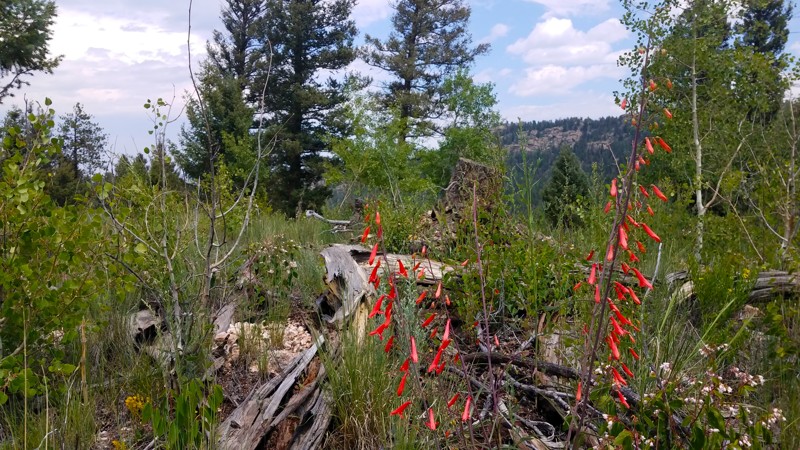
Great View certainly lives up to its name, offering some gorgeous vistas of the area. Along with the surrounding trail network, this trail also provides secluded camping and easy but fun treks through the woods. Keep an eye out for wildlife and dramatic outcrops of Pikes Peak granite.
Spanning the western slope of Blue Mountain, southeast of famous (and often crowded) Eleven Mile Canyon, this out-of-the-way trail network is a true hidden gem. Most summer days, you'd be hard-pressed to find two or three other rigs on the trail. The few established campsites are true havens of back-country peace and quiet.
Updated: 06/19/2024
Whiskey Park Road
Clark, Colorado
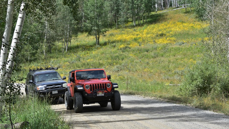
Overlanding forest service roads between Colorado and Wyoming is a remote adventure you will remember for a very long time. Whiskey Park Park Road is one of those fantastic roads that you can explore for a day, or connect to others for the scenic multi-day overland adventure. The trail winds through beautiful forests filled with colorful aspen and pine and through high mountain peaks. Fantastic fall colors and its remote location makes for a unique offroad trip with friends and family.
Updated: 07/14/2026
Black Canyon Road
Maher, Colorado
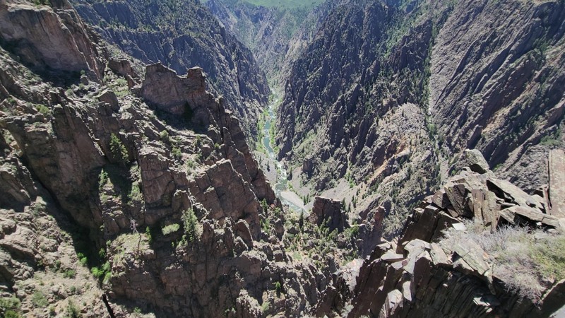
This is a well-groomed gravel road that takes you into the Black Canyon of the Gunnison National Park, and travels along the northern edge of the Black Canyon. The road is easy and suitable for any vehicle. It offers many pull-out viewpoints but has no camping options.
Updated: 06/15/2024
Nebraska Hill
Rollinsville, Colorado
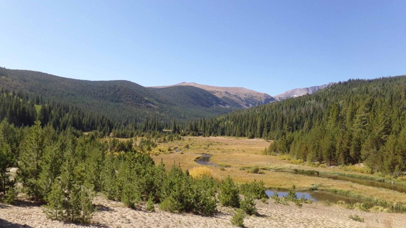
This delightful little spur off of Mammoth Gulch is often referred to as Mammoth Reservoir as it no longer goes all the way out to Nebraska Hill itself but leads to the site of the old Mammoth Creek Reservoir. The reservoir itself is no longer in use and has been drained. It is now a beautiful meadow and wetlands area along the bottom of Mammoth Gulch with views of James Peak and the surrounding mountains behind it. The trail is very pretty in its own right as it winds its way up and down and back and forth through pine and aspen forest with a few open meadows here and there. There are many campsites along the way if you are looking for a place to base a more extended adventure, however, the area is very popular and the sites fill up quickly. If you are in the area, this little gem is worth checking out.
Updated: 01/14/2026
Sawmill Gulch
Ward, Colorado
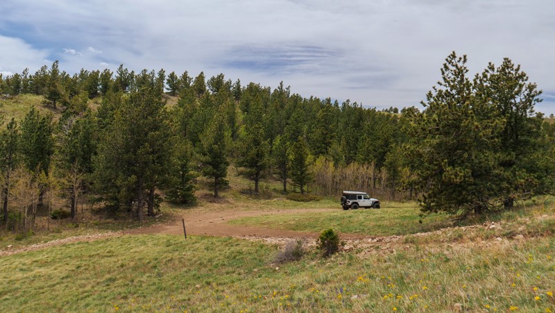
Sawmill Gulch is a rough and rocky straight-through road that connects the end of Switzerland North Trail to Sawmill Road, which can then be used to create a loop back to the start of Switzerland North, or used as an exit to Lefthand Canyon Drive. This road has a couple of steep, rutty climbs and offers a small handful of good campsites ideal for tent campers, car campers, and small offroad trailers. This road is suitable for any high clearance vehicle, with the most difficult spot being a short rocky climb with a slight camber of 13 degrees. 4-wheel drive will be necessary.
Updated: 07/02/2024
Mayflower Gulch
Copper Mountain, Colorado
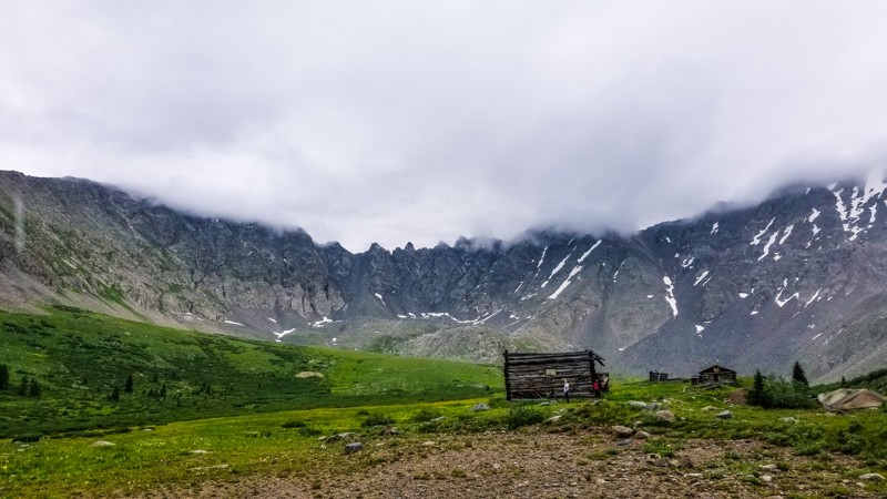
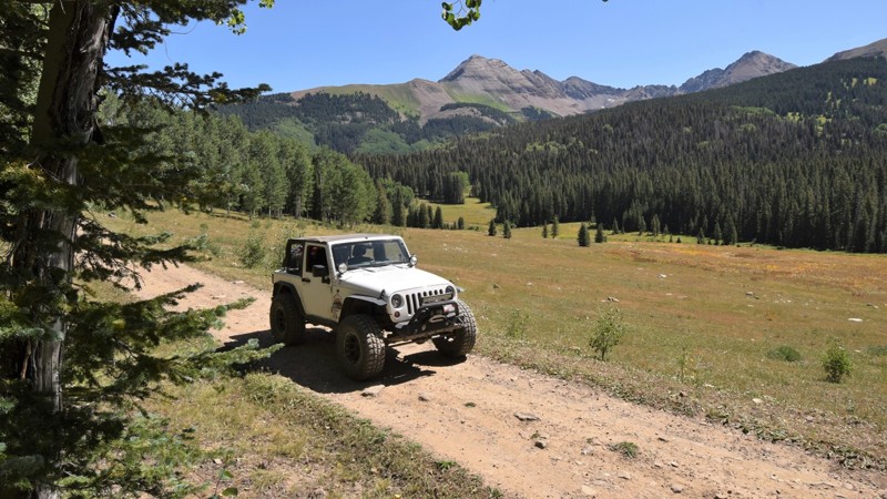
Concealed within the western shadow of Fletcher Mountain, Mayflower Gulch is an extremely short but extremely rewarding offroad trail along the southern edge of White River National Forest. It will lead you to the eerie remains of the Boston Mining Camp.
Lurking beyond the thick, shady pine forest is a spectacular basin filled with rare wildflowers such as the blueleaf cinquefoil, gorgeous views of the Tenmile Range, and some very well preserved relics from Colorado's booming mining days.
This is a great trail for new 4wheelers or for someone looking to make a quick trip to see some very special scenery.
Updated: 06/01/2024
Echo Basin
Mancos, Colorado
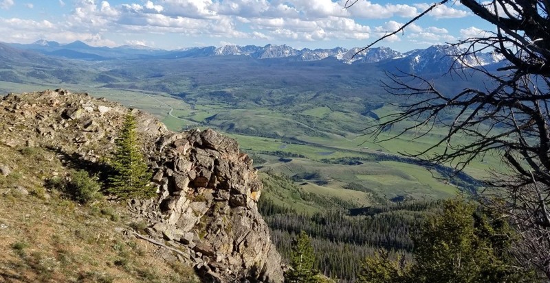
The Echo Basin trail near the town of Mancos, Colorado is an excellent way to access a pristine forest system with incredible camping and mountain vistas. The area is very popular for it's laid back atmosphere and it's very small crowds. The trail travels through dense pines and large groves of aspen while easily climbing to 10,400 above the small town.
The 1.8 million acre San Juan National Forest located in southwest Colorado has thousands of miles of back-roads and hundreds of 4x4 trails to explore. The region's diverse terrain offers outdoor enthusiasts a wide variety of opportunities to experience nature without the large crowds found to the north. There are also plenty of great established campsites located along all the main routes.
The Mancos, Colorado area has the Alpine Loop ATV trail system, an extensive network of interconnecting trails that crisscross the mountains above town. Theses trails are connected with full-size 4x4 trails that travel from various lakes and mountain summits all within minutes of town.
Updated: 08/11/2026
Blue Ridge (Williams Peak)
Heeney, Colorado
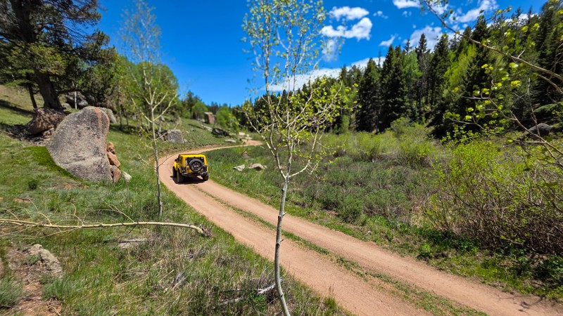
Blue Ridge 4WD road offers impressive views of Grand and Summit Counties as it follows the county line past Williams Peak. From the overlook, you can see Green Mountain Reservoir, Eagles Nest Wilderness Area, and, off in the distance Dillon Reservoir. Blue Ridge is generally a pretty mild trail. However, you may encounter remaining snow drifts up until the end of June. It is closed from 11/15 to 6/15 every year, regardless of conditions. Portions of this trail are very narrow, with no room to pass for extended periods. Full-size rigs may struggle to avoid overhanging branches and dead-fall on the road.
Updated: 07/21/2025
Beaver Creek Road
Woodland Park, Colorado
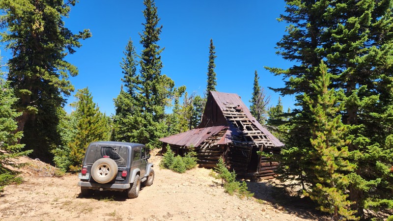
Winding gently through a wide valley, Beaver Creek S. H. Road is the kind of trail that’s less about challenging terrain and more about soaking in the scenery. Rolling meadows, pine-covered hillsides, and the namesake creek meander nearby. However, the main attraction here is the camping with a multitude of dispersed spots along the trail, many of them roomy enough for small group setups. Beaver Creek is a great place to set up a weekend basecamp to play on Rampart Range or just look for a quick overnight under the stars.
Updated: 07/02/2024
Dakota Hill East
Rollinsville, Colorado
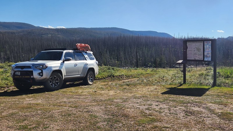
The area around Dakota Hill and Oregon Hill was mined extensively in the late eighteenth and early twentieth centuries. Dakota Hill East boasts several relics of that rich mining history. The one the trail is most noted for is the Shaft House at the Mareau Mine, but there is also a large set of diggings and tailing piles from that mine and a collapsed adit lower on the trail, which has recently been re-staked as an active mining claim. In addition, the lower portion of the trail adds fun challenges as you make your way up the loose, rocky ascents. Using Dakota Hill East as access or egress from the network of trails around Dakota Hill and combining it with other trails in the area can provide everything from a quick afternoon outing to an all-day (or overnight) adventure.
Updated: 07/14/2025
Red Dirt Road
Steamboat Springs, Colorado
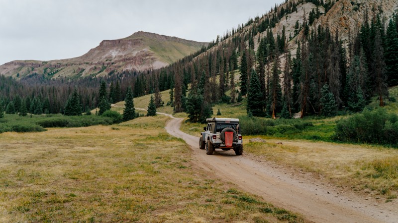
Red Dirt Road is primarily a graded dirt road that cuts through the Routt National Forest. This road has a few dispersed campsites located along the southern end, but more are found on the spurs branching off to the west. Since the road is made of soft dirt, be cautious of the sporadic deep ruts. While the road is easily accessible in the summer by most vehicles, only skiers and snowmobiles are allowed during the Winter. This road offers amazing views of the surrounding mountain ranges and is home to moose, bears, and other wildlife. If you are looking for a place to air up or down, there are nice spots on the north and south end of the trail, but once you exit the forest, there are very few areas you can pull off.
Updated: 09/02/2026
Nellie Creek
Henson, Colorado
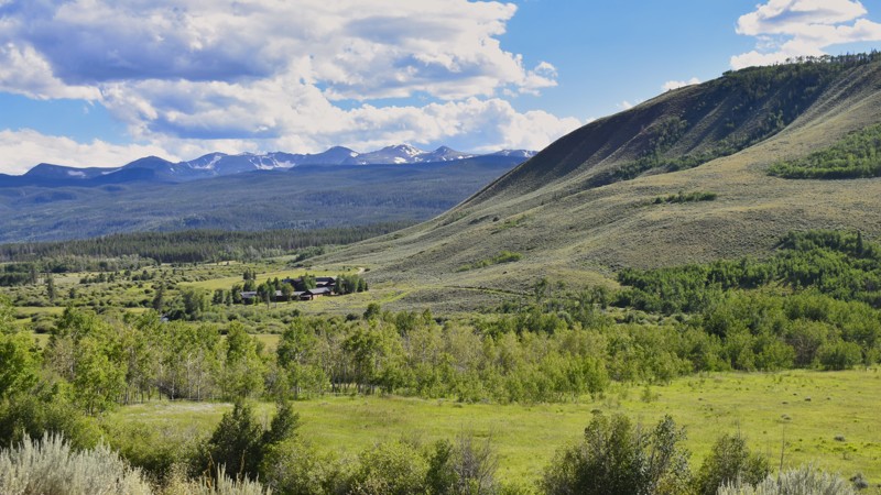
Typically overshadowed by the popularity of Engineer Pass and other San Juan trails, Nellie Creek is one of the lesser-known trails off the Alpine Loop. This trail offers superb dispersed camping and provides access to one of Colorado's 58 14'ers, the 14321-foot Uncompaghre Peak. Its proximity to the wilderness boundary makes this an excellent trail for viewing wildlife, including deer, moose, and all of the famous wildflowers that high-country Colorado is known for. If you are looking for secluded camping off the Alpine Loop or want to get out and explore the Uncompaghre Wilderness on foot, don't miss Nellie Creek.
Updated: 09/14/2026
Laramie River Valley Road
Spencer Heights, Colorado
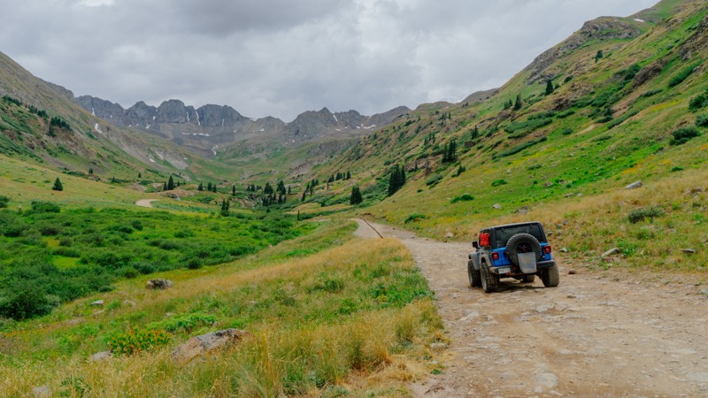
The Laramie River Valley Road is a picturesque route that meanders through the breathtaking landscapes of Colorado near the Wyoming border. Known as the gateway to the Rawah Wilderness, this road follows the course of the serene Laramie River. The Rawah Wilderness, spanning over 76,000 acres within the Roosevelt National Forest of Colorado, is a testament to nature's untouched beauty. This route provides access from the Poudre River Road, near Cameron Pass, to Wyoming’s Snowy Range near Woods Landing. Dispersed camping and designated campgrounds are abundant and popular along this route.
Updated: 08/24/2026
American Basin Road
Animas Forks, Colorado
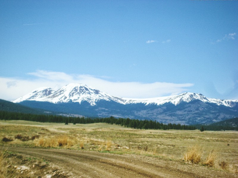
American Basin Road spurs off Cinnamon Pass and makes a short climb up along the Handies Peak Wilderness Study Area to its end at the American Basin Trailhead. Those looking for a place to camp are treated to a handful of stellar spots, all with views of American Peak and Handies Peak. Although the trail may be busy with hiking traffic, this is still a worthwhile trek when you're in the area. The area is renowned for its wildflowers in late summer.
Updated: 05/01/2024
Fourmile Area: Chubb Park
Buena Vista, Colorado
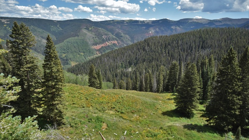
Chubb Park is named after Robert Bass Newett, better known as "Chubb" by his friends. He decided to settle in this area in 1867 when he came west from DeKalb, Illinois. Chubb built a hotel, established a ranch, and platted a town called Newett. Today there is nothing left of the old town of Newett, but Chubb Park offers impressive views of Buffalo Peaks and is connected to the numerous trails in the Fourmile Management Area. Chubb Park also provides access to trails leading to the Buffalo Peaks Wilderness area.
Updated: 06/01/2024
West Mancos Road
Mancos, Colorado
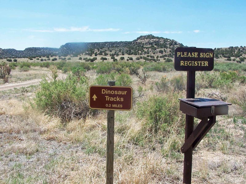
The 1.8 million acre San Juan National Forest located in southwest Colorado has thousands of miles of back-roads and hundreds of 4x4 trails to explore. The region's diverse terrain offers outdoor enthusiasts a wide variety of opportunities to experience nature without the large crowds found to the north. There are also plenty of great established campsites located along all the main routes.
The Mancos, Colorado area has the Alpine Loop ATV trail system, an extensive network of interconnecting trails that crisscross the mountains above town. Theses trails are connected with full-size 4x4 trails that travel from various lakes and mountain summits all within minutes of town.
Updated: 05/15/2024
Picketwire Canyon
La Junta, Colorado
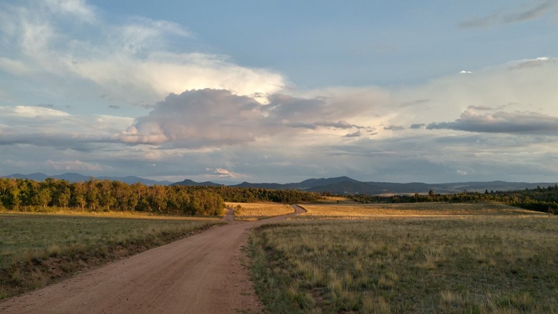
Picketwire Canyon is the drainage of the Purgatory River across the southeast corner of the Comanche Grasslands in southeast Colorado near La Junta. It is an area rich in history and geology featuring early Indian rock art, an historic cattle ranch, an old Spanish mission and the largest trackway of dinosaur footprints in North America. It is said that a group of Spanish treasure seekers followed the river into the area and were killed by Native Americans, dying without the benefit of clergy. Thus the Spanish came to call the river El Rio de las Animas Perdidas en Purgatorio or the River of the Lost Souls in Purgatory. When French trappers and traders entered the area they shortened the name to Purgatoire (pronounced Purr-ga-twa). When English-speaking settlers followed the Sante Fe Trail into the area they couldn’t pronounce the French correctly and corrupted it to Picketwire.
Picketwire Canyon is only accessible by vehicle through a guided tour offered by the National Forest Service who administer the Grasslands. You must make reservations ahead of time for this tour. The only other access is by hiking, biking or horse-back along a long, difficult route through Withers Canyon.
Updated: 04/20/2024
Rock Creek Hills
Jefferson, Colorado
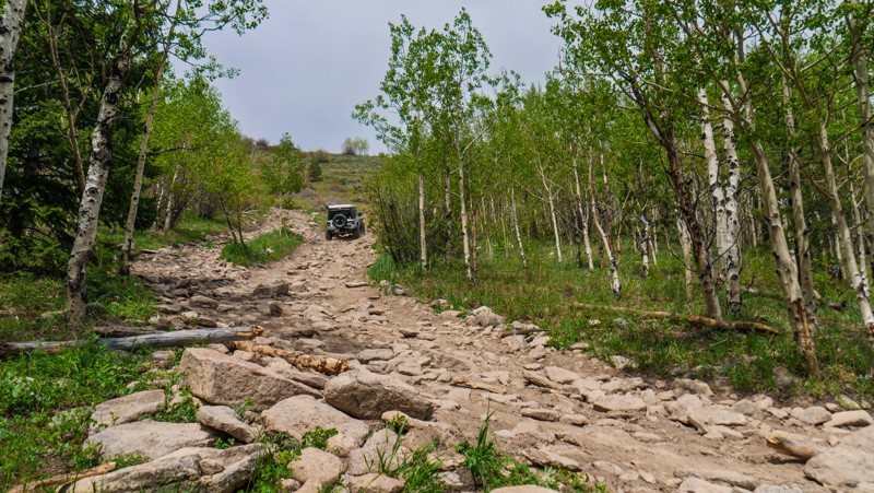
Rock Creek Hills is a beautiful short drive through the Pike National Forest and is the main road in a network of less maintained 4x4 trails. With dozens of large campsites spread throughout the surrounding roads, this is a popular road for ATV and dirt bike riding. Rock Creek Hills is also a great area for viewing fall colors with large aspen groves spread throughout the trail and in the valleys. Overall, this us a great area to set up camp and prepare for some exploring.
Updated: 07/01/2026
Knob Hill aka Cliffhanger 2.0
Ward, Colorado
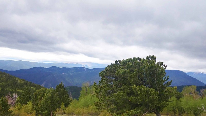
Knob Hill, also known as Cliffhanger, is a short, dead-end spur road off the Switzerland North Trail. Right away, it begins climbing sharply up a steep hill with a relentless onslaught of large rocks and small boulders. There are two different paths up the hill, neither of which is easier than the other. Once at the top, you have a 360-degree view of the area looking down towards Lefthand Canyon, Gold Hill Road and the Continental Divide. 4-Wheel drive, good ground clearance, and aggressive tires are a must along this road. Traction devices could prove helpful.
Dispersed camping is allowed along the entire route, but the only notable spot is at the large turnaround at the end, where you could fit several vehicles.
Updated: 06/16/2024
Sheridan Hill
Idaho Springs, Colorado
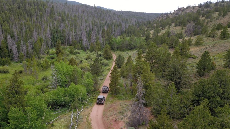
Sheridan Hill is a delightful little side trip in the Yankee Hill network of 4x4 trails west of Central City. Looping up and around Sheridan Hill itself, it connects Cumberland Gulch to a point further east on the main Yankee Hill trail. As it crests just short of the summit of the hill, there are spectacular views of the surrounding mountains in all directions. The loose, rocky climbs offer enough difficulty to need 4wd but not so much as to make it too challenging for stock rigs.
Updated: 05/18/2024
Pratt Creek
Red Feather Lakes, Colorado
A lightly used US Forest Service Road in northern Colorado near the Wyoming border, Pratt Creek Road offers a peaceful voyage through the wooded Roosevelt National Forest. Because the area is remote, this part of the forest does not see many visitors and can be ideal for a weekend camping getaway. During early winter months, Pratt Creek is a snowy route that can challenge the best vehicles and drivers. By mid-winter, the road will be impassable due to snowfall. Pratt Creek and the nearby Dead Horse Mountain see hunting activity in the fall season as this area is rich with deer and elk.

Upgrade your Membership
Unlock all of the details on every Trail Guide and Scout Route.
Start a 7-day Free TrialBrowse Trails in Colorado by City
Browse every Colorado city with offroad trail guides.
Community
Partners

