













By clicking "ACCEPT", you agree to be the terms and conditions of each policy linked to above. You also agree to the storing of cookies on your device to facilitate the operation and functionality of our site, enhance and customize your user experience, and to analyze how our site is used.
Colorado Off-Road Trails
602
Total Trail Guides 575

6450
Detailed Waypoints 568
Try a Free 7-Day Trial and unlock it all
Start a Free Trial Most Recent Trail Reviews
Rated 5/5
Open
Visited: 09/23/2026
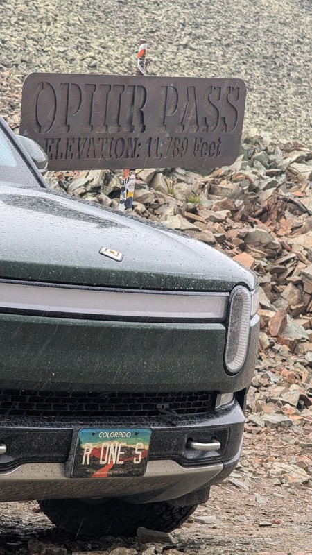
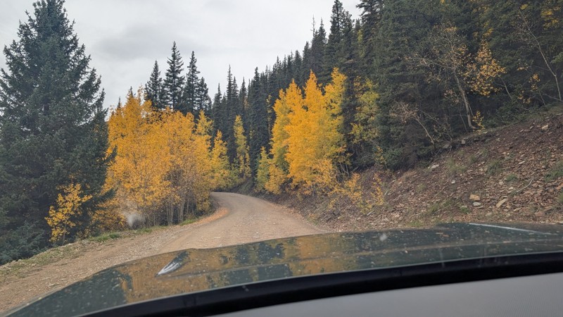
nice trail with good views. a classic in the San Juans... it's not quite as easy as 2 but not a true 3 either. Totally doable with a stock 4WD.


Mustafa ParDane
Official Crew
Rated 5/5
Open
Visited: 09/23/2026
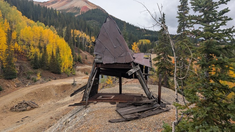
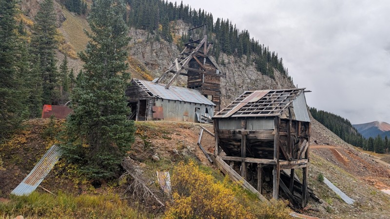
Nice fun easy trail! You will see lots of mines. I mean lots of them. If you are into it, this is the trail for you :)
Mustafa ParDane
Official Crew
Rated 5/5
Open
Visited: 09/23/2026
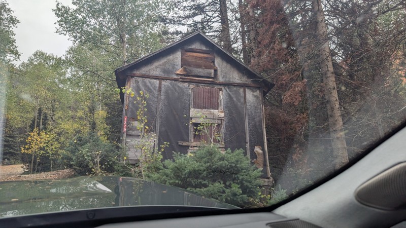
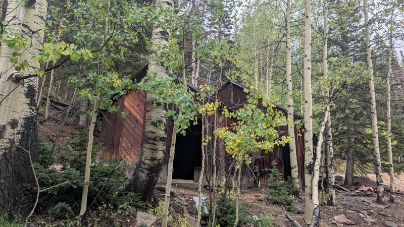
It's a steep climb all the way from the beginning to the top but there is no real obstacles. You will see some cool mines. And the views are awesome. You will see some good views of the Red Mountain p...
Mustafa ParDane
Official Crew
Rated 5/5
Open
Visited: 09/23/2026
We frequent this route probably once a week from GoG to Woodland Park. Be very careful on the blind curves - no shortage of knuckleheads driving way too fast (a biker was struck fatally in June). Us...
TC
Tim Crane
Rated 5/5
Open
Visited: 09/22/2026
Scenic road connecting to other alpine loop trails. it's not very technical or hard. but if you don't prefer shelf roads, maybe that can be considered hard. Red Mountain peaks are awesome. the scenery...

Mustafa ParDane
Official Crew
Rated 5/5
Open
Visited: 09/22/2026
Besides the shelf roads, there is not other bug obstacle or anything technical. As always, it has really good views :)


Mustafa ParDane
Official Crew
Rated 5/5
Open
Visited: 09/22/2026
Views are awesome as always with any alpine loop trails. There is a very short hike at the summit that takes you to even higher point with better views. Lake Como looks very good from there.


Mustafa ParDane
Official Crew
Rated 5/5
Open
Visited: 09/22/2026
Started from Lake City as most people recommend running the alpine loop clockwise. I think that was a wise choice because I didn't have a lot of ongoing traffic. The views are awesome and they start r...


Mustafa ParDane
Official Crew
Rated 5/5
Open
Visited: 09/22/2026
Tough trail, lots of technical spots throughout. Dont attempt solo or with any kind of stock truck!


Greg Dermann
Rated 4/5
Open
Visited: 09/22/2026
Just a dirt road with lots of potholes. Nothing technical. Drove this up to the 401 Trailhead to bike. Pretty busy with folks camping and leaf peeping. Overall it is in a pretty area and theres good c...



Davis McPherson
Rated 4/5
Open
Visited: 09/22/2026
Ok I have not run that trail in the last 4 years. I don't recall it looking like the photos. Did it recently get this way (rock garden) and get the difficult rating?
C
coyoteslocos
No Rating
Temporary Closure
Visited: 09/21/2026
Sign at the bottom of the hill says road construction but when you get to the turn off it is blocked.
PD
Paul Dixon
Rated 5/5
Open
Visited: 09/21/2026
Ran the trail from Westcliff side over the pass and into Great Sand Dunes NP. Had great weather. Don't think it had rained much in the days prior. So, the trail was dry. Think the difficulty ratin...



Stephen
Rated 5/5
Open
Visited: 09/21/2026
Id put it at a 3 some larger rocks mud and shelf roads: beautiful trail. Highly recommend.


Brian mckie
No Rating
Open
Visited: 09/21/2026
There is an area towards the end of this trail not long before it opens into the meadow that is very shaded and has become a mud hole. Well, somebody with a vehicle not capable enough to get through i...

Curt Greeley
Rated 5/5
Open
Visited: 09/20/2026
Ran this trail for the first time on 9/20/26. Absolutely stunning views and the leaves were almost at peak. This might be my new favorite trail to run during this time of year. Not difficult, but long...



Jack Mackie
Rated 4/5
Open
Visited: 09/20/2026
I wanted to run this trail on my way out from the gulches area but when I got down to the first stream crossing it had a few large logs placed in it. Im not sure if this is for traction or what, but I...
Jack Mackie
Rated 5/5
Open
Visited: 09/20/2026
First time out here and I ran this alone on 9/20/26 coming back from Old Stage 220. Took Sportsman Rd to get to 220 so I decided to take this to trail to get back to Cedar Mtn Rd. This is more fun tha...
Jack Mackie
Rated 5/5
Open
Visited: 09/20/2026
This is one of my favorite trails. I like to start at St. Mary's and run it in reverse lf this trail guide. I prefer to take most of the steep sections downhill, but if you want a fun challenge, then ...


Tim
Rated 5/5
Open
Visited: 09/20/2026
Ran this on 9-20-26 up to the Phoenix rocks. WK2 3" lift on 33's. Never been in this area before but I have read many of the reviews on here about the gulch trails. I was alone and the phoenix rocks w...

Jack Mackie
SH
Sharon Hansen
Rated 5/5
Open
Visited: 09/20/2026
Maiden voyage for my stock suspension 1994 Wrangler. The trail was surprisingly rocky in the beginning. Beautiful views and not too much traffic.
SH
Sharon Hansen
Rated 2/5
Partially Open
Visited: 09/20/2026
While there were some aspen views, this is not the best place to find them. Most of the views of the surrounding area are obscured by pine trees that are close to the road. Many of the overlooks are o...
MG
Mike Gerdts
Rated 4/5
Open
Visited: 09/20/2026
We enjoyed the trail. Beautiful scenery. Definately narrow in some areas. The terrain itself wasn't so difficult. Clearence is needed for some of the rocks in the trail.


Lisa Johnson
Rated 4/5
Open
Visited: 09/19/2026
Ran it in a 157"WB F150 on 33's, and would probably run it in a passenger car. Great views, easy climb and the switchbacks were totally navigable in a fullsize. Some of the roads on top are more app...
J
Justin
Rated 5/5
Open
Visited: 09/19/2026
The last descent at the end is kind of muddy so take it extra slow.



Joshua Scurran
Rated 5/5
Open
Visited: 09/19/2026
Ran east to west. The ascent at waypoint 14 has been cleaned up considerably - not sure if this was the work of the recovery crew we passed who were headed up Mt Baldy road, but it was much less rocky...

Jeff Dew
JG
Joseph G Botthof III
No Rating
Temporary Closure
Visited: 09/19/2026
Following up on Ryan's post, multiple incidents have occurred of vehicles sliding off the trail at washouts. CO4x4RNR was up yesterday recovering a vehicle, and we were told the trail will remain clo...

ERIC D BROWN
Rated 5/5
Open
Visited: 09/19/2026
Epic views at the top make this in and out road a must see on my list. Shelf roads with a few areas for passing. Switchbacks and 12"-18" boulders in only a few places to navigate. 4wd and good clearan...



Desi
Rated 5/5
Open
Visited: 09/19/2026
Expect closures Sept 21-24 for pipeline maintenance starting near the trestle. Perhaps related, there’s a rusty 4-6” pipe sticking out of a puddle near the trailhead at the top.
It’s been a bit rai...

MG
Mike Gerdts

Kirk Kneezle
Kirk Kneezle
Kirk Kneezle
WH
William Harkcom
Rated 5/5
Open
Visited: 09/18/2026
Great trail. Lots of fun, great views. Loved all the rock outcroppings.



Jessica H
Rated 5/5
Open
Visited: 09/18/2026
Short but fun. Right mix of technical and scenic. Ran this with Solitude Creek. Great views but that initial climb looked daunting but once you get into it wasn’t that bad.


Jessica H
No Rating
Temporary Closure
Visited: 09/18/2026
Forest Service has closed the trail due to washout damage. No ETA yet on fixes or reopening.


Ryan Boudreau
Official Crew
No Rating
Open
Visited: 09/18/2026
Only drove it to the Chinns Lake cutoff, but that part was in great condition. They've recently laid down new gravel on the lower portion in the neighborhood, it is super smooth.
S
Scott
No Rating
Open
Visited: 09/18/2026
Great condition. Only tough spot is some deep holes just before you get to the lake, otherwise it's easy. The mud holes are deeper than I remember, but it's been raining quite a bit. Lake is very, ...
S
Scott
No Rating
Open
Visited: 09/18/2026
We ran it downhill from the Miner's Gulch area. It's an easy descent thru the forest, a few rocks here and there, nothing major. Nice view of the aspens and rain clouds moving thru the area. Decent...
S
Scott
No Rating
Open
Visited: 09/18/2026
Mostly moderate, but a few spots are pretty rough with unavoidable and awkwardly placed boulders - stock vehicle are likely to hit their rocker panels. Good approach angles and rock sliders are your...
S
Scott
Rated 5/5
Open
Visited: 09/18/2026
Trail is in great condition, views from the top are magnificent.
S
Scott
Rated 4/5
Open
Visited: 09/18/2026
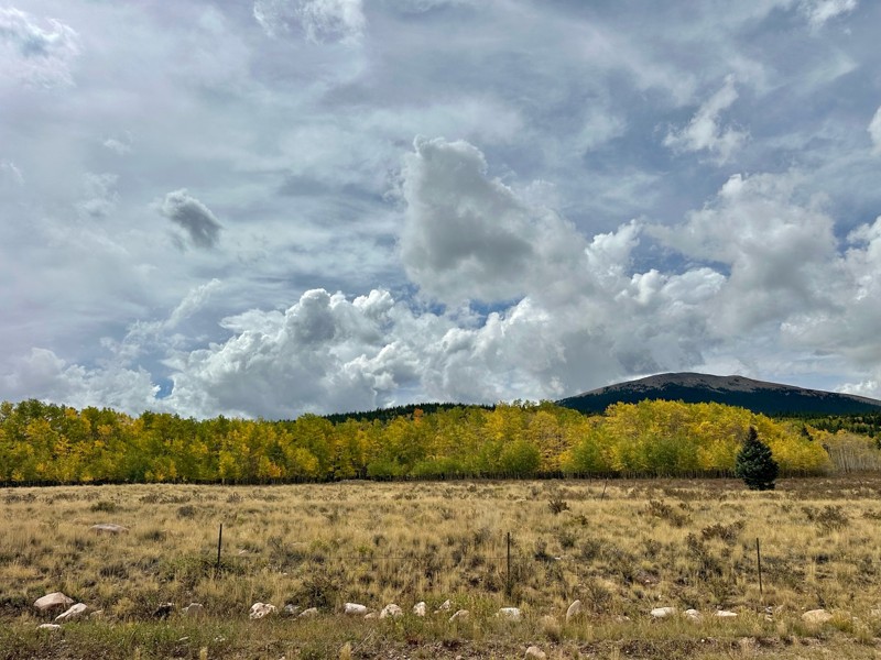
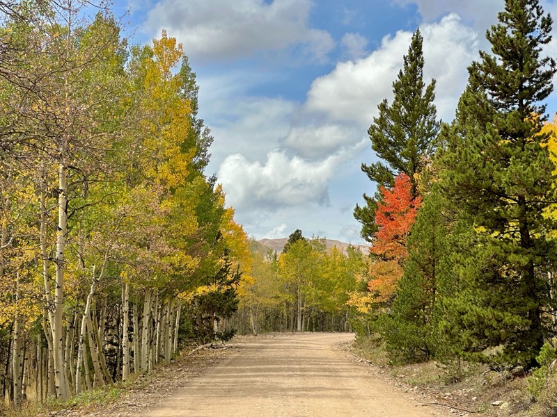
Went up for the aspens and I’d guess, for the most part, they’re maybe a few days past peak. Ran it in “reverse” starting from the east trailhead and there was still plenty of good color to see. Close...

Scott Bram
Rated 5/5
Open
Visited: 09/18/2026
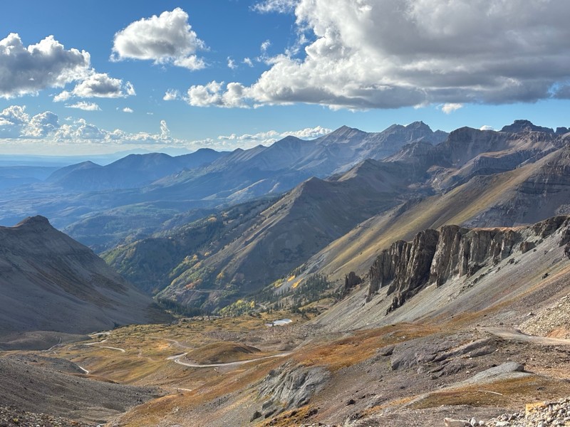
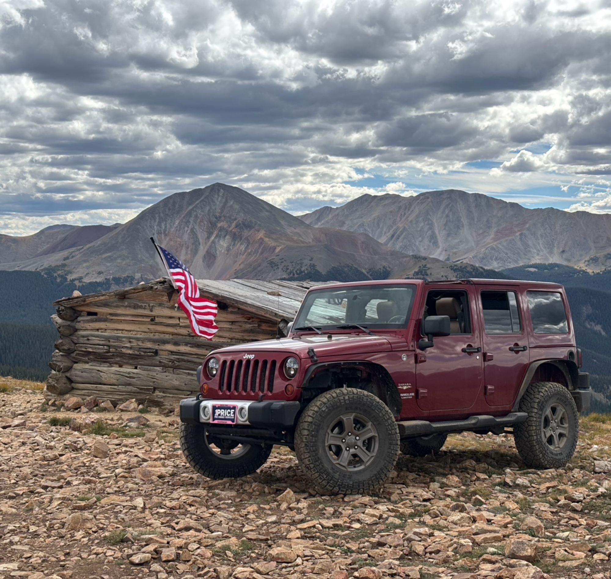
Ran the trail starting in Telluride on Friday the 18th. The trail is open the whole way through to Ouray. Very little dust thanks to all of the rain lately made our first time on Imogene very pleasant...
Matthew Stef
Rated 5/5
Open
Visited: 09/18/2026
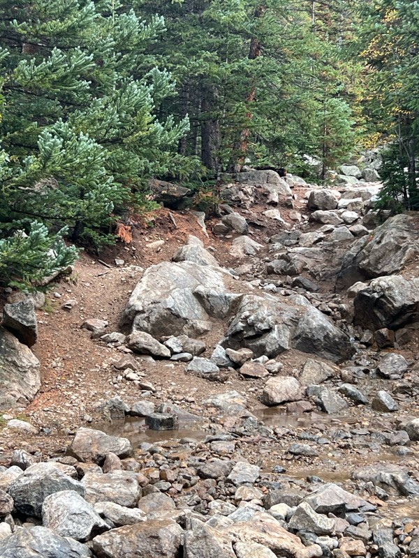
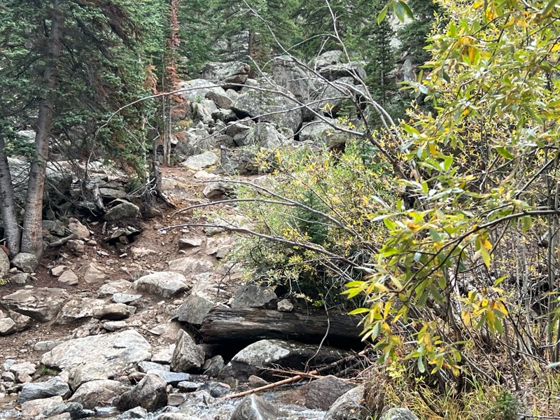
Fantastic views. Great time of the year to go - less likely to need to pass other vehicles on some steep ascents. The “gatekeeper” obstacle and narrow (no room to pass) sections are the major conside...
TK
Tarik Khatib
Rated 5/5
Open
Visited: 09/18/2026
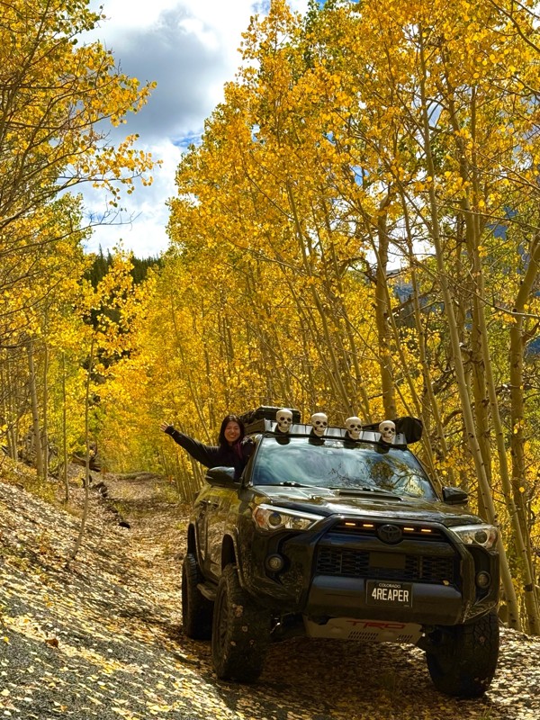
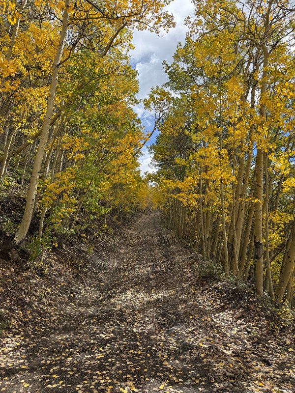
We honestly didn’t mean to take this road but ended up on this road on accident looking for a way to get from Georgia pass to Breck. The colors were amazing!! We came east to west so we were heading d...
V
Vince
Rated 5/5
Open
Visited: 09/18/2026
Beautiful trail. Fun whoops and a pretty rocky section. Would definitely recommend not taking the family sedan.
Wade Williams
Most Popular
Updated: 06/16/2024
Freeman Gulch Cutoff aka Miners Ridge
Central City, Colorado
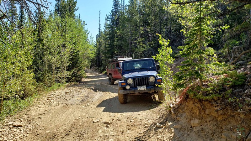
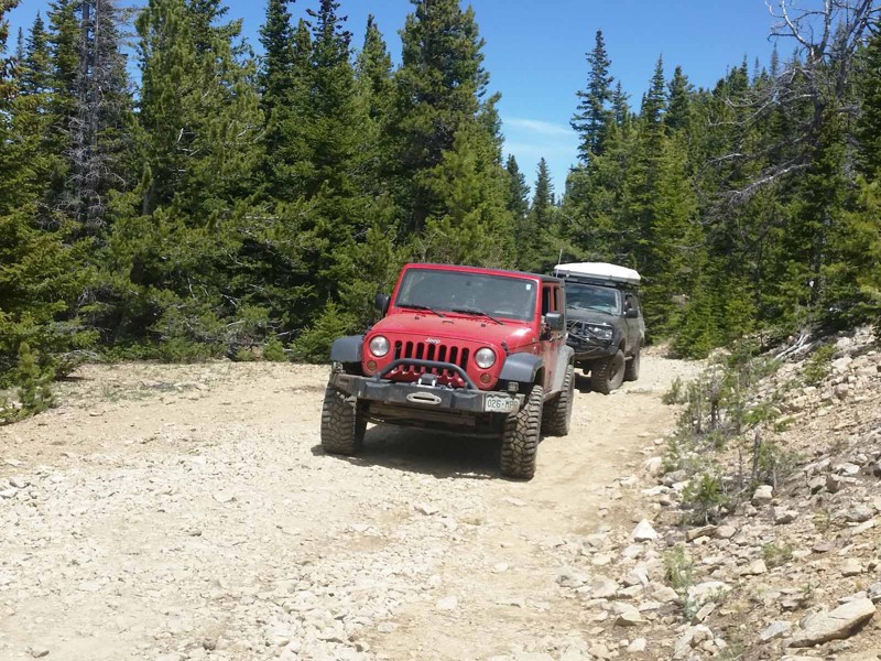
This easy four-wheel-drive road not only makes a significant connection between the main Yankee Hill trail and Miners Gulch in the Yankee Hill 4x4 trails network above Central City, Colorado, it also provides a pleasant and relaxing drive through beautiful aspen groves and pine forest. It would be particularly lovely in the fall with the abundance of aspen along the trail. Like most of the roads in the Yankee Hill network, Freeman Gulch Cutoff owes its existence to the widespread mining that took place in the area in the late 1800s and early 1900s. Although no significant ruins remain on this trail, it was an important link in the web of roads that serviced the mines and communities in the area.
Updated: 06/23/2024
Gamble Gulch Connector
Rollinsville, Colorado
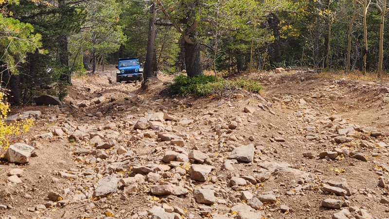
This is one of many connections into the extensive network of trails around Dakota Hill and Oregon Hill. It offers sweeping curves and gentle climbs and is probably the quickest way to get to the Michigan Hill trailhead. As with most of the trails in this area the scenery is beautiful and the history is plentiful. It can also be used as a convenient exit from Dakota Hill or Michigan Hill.

Updated: 04/22/2026
Lower Michigan Hill
Central City, Colorado
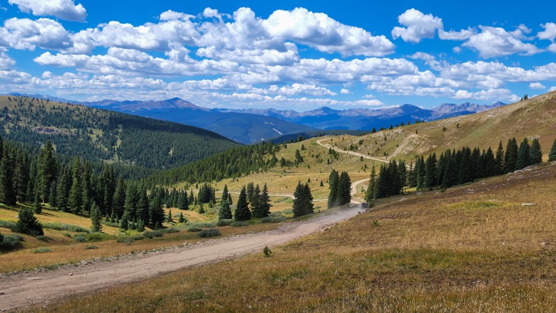
Lower Michigan Hill is a trail to put the whee-doggie in your giddyup. After a short, tame beginning, the trail turns up the hill and becomes a long, steep, loose, rocky climb over 8 to 18-inch loose rocks with a couple of optional boulders thrown in for fun. Pictures do not adequately show how steep and loose this hill is. When you finally reach the top, turn left for a moderate connection to Michigan Hill. Combine this trail with Silver Creek for a great follow-up to Pickle Gulch if you are looking for a little challenge. Although dispersed camping is technically allowed on this trail, there are no suitable sites due to the hill's steepness.
Updated: 07/21/2025
Resolution Road
Red Cliff, Colorado
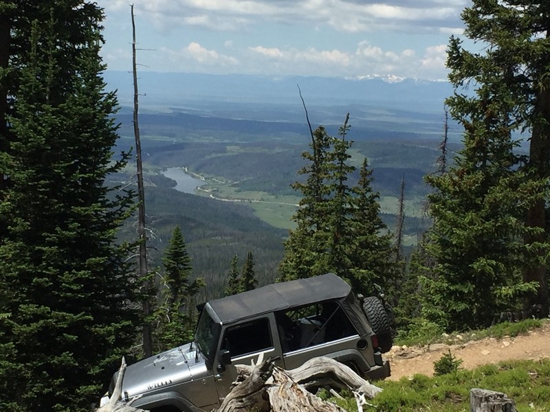
Located in the White River National Forest above the historic Camp Hale and part of Ptarmigan Pass, Resolution Road is an easy trail that provides users with endless amazing views of the Sawatch Mountains and offers access to many other recreational activities. This trail is a short day trip for epic views or a romantic sunset. Combine this trail with McAllister Gulch and Wearyman Road to create an epic day full of views and history.
Updated: 06/19/2024
Montgomery Pass
Walden, Colorado
Montgomery Pass is a trail that climbs over 2000' towards the Continental Divide just west of the Rawah Wilderness area in North central Colorado. This trail is in the Colorado State Forest. It requires 4WD and can be more difficult during wet conditions. The lower half of the trail goes through a thick forest of lodgepole pines while the upper half begins to open up to allow for views of nearby Clark Peak and the North Michigan River valley below. The trail is suitable for aggressive SUVs, UTV's, ATV's, horses and mountain bikes.
Updated: 07/17/2024
Old Tincup Pass Jeep Trail
Tincup, Colorado
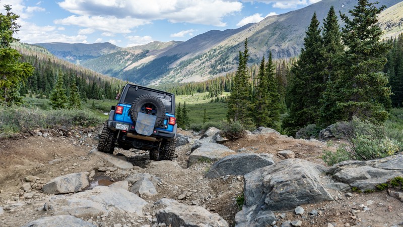
Paralleling Tincup Pass and providing a quick, difficult shortcut along the western end of the Pass, Old Tincup Jeep Trail is a narrow, rock-crawling alternative to an otherwise simple mountain trail. Bouldery terrain along Old Tincup will entertain the modified vehicle crowd and those looking for a much-needed challenge. Expansive valley views along the trail make for excellent action photo opportunities and give your device a perfect new screensaver. Don't take this trail lightly. It has left many users with damaged and inoperable vehicles.
Updated: 04/16/2024
Sidewinder
Kremmling, Colorado
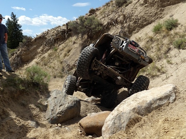
The Sidewinder extreme 4x4 Jeep trail is located on BLM lands in the Wolford Mountain area, just outside of Kremmling Colorado. This is the only constructed technical four-wheel drive trail of it's kind in the west!
Sidewinder is open for travel one-way south to north, bottom to top. There are 10 obstacles constructed of large boulders, a few fitted with railroad ties, and one waterfall climb. Each obstacle is different and each varies in difficulty. There are no winch points on this trail, thus lockers are a high recommendation. High clearance is a must, and it may not be possible to get a vehicle with tires smaller than 35 inches through this trail without a lot of effort and damage. Therefore, a minimum of 35-inch tires are recommended.
Updated: 06/08/2023
Northfield Road
Colorado Springs, Colorado
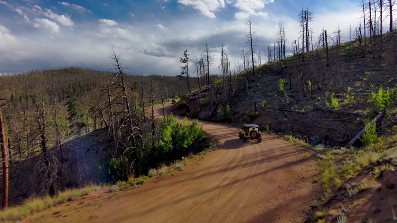
Winding through the 2012 Waldo Canyon Fire scar, Colorado's Northfield Road is a journey through resilience. The fire, one of the most destructive in Colorado's history, scorched over 18,000 acres and took hundreds of homes. Now, a drive along this well-maintained road shows the forest's remarkable comeback, with new growth sprouting among the ghostly reminders of the fire. The trail tells a tale of nature's tenacity and recovery from adversity. A drive down Northfield Road is more than a scenic route. It's a lesson on nature's enduring strength.
Updated: 08/11/2026
South Fork Lake Creek
Champion Mill, Colorado
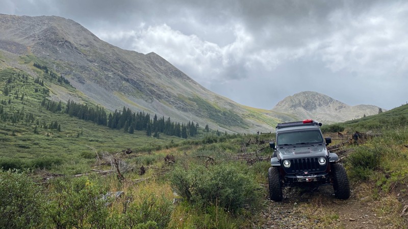
The South Fork Lake Creek Trail is the main access route from Independence Pass into the Red Mountain Area. This route follows the South Fork of Lake Creek Drainage to its headwaters, and the motorized portion of the route ends at the Collegiate Peaks Wilderness Boundary. Several additional side trails depart from this main route along the way. These trails include Sayres Gulch, McNasser Gulch, and Peek-A-Boo Gulch. The route is accessible for high-clearance 4x4 vehicles with a low range. Private property borders the first 1.5 miles of the road, but many dispersed campsites are available after that point.
Updated: 05/31/2024
Coal Gulch
Fruita, Colorado
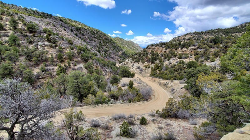
Coal Gulch is a picturesque drive down a scenic canyon through the Book Cliffs north of Grand Junction, Colorado. Several side canyons offer wonderful hiking and mountain bike trails along the way. Natural Gas wells and pumping stations are scattered throughout your drive as you make your way up out of the canyon, across Ross Ridge, and ending with spectacular views of the Grand Valley. This trail is ideal for any 4wd vehicle in dry conditions but can become extremely treacherous and impassible when wet.
Updated: 08/11/2026
East Fork Eagle River (Camp Hale)
Red Cliff, Colorado
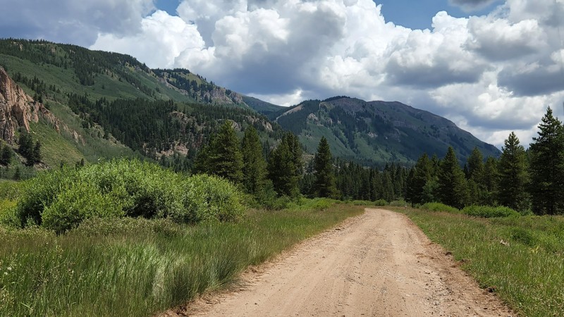
East Fork Eagle River begins in historic Camp Hale. The trailhead is about a half mile up Resolution Road, going to the right just before McAllister Gulch goes left. It is the main “street” along the back side of Camp Hale and provides access to the rock-climbing area and the Camp Hale East Fork Group Campground. There is only one connection to the front side of Camp Hale. About halfway through the camp, all the other “streets” have been closed. The road is graded gravel through Camp Hale until you pass Old Highway and the entrance to the group campground. It gradually becomes steeper and rougher as you make your way up the valley. The hardest part comes through the switchbacks about a mile before the end, where it is quite rocky. Stock rigs will need to pick their line carefully through this section. After the switchbacks, it levels out a little and is less rocky before ending at a locked gate at the Climax Mine property. Dispersed camping is no longer permitted in Camp Hale, but once you leave the old camp, several nice sites are available.
Updated: 09/13/2026
Wellington Lake Road
Buffalo Creek, Colorado
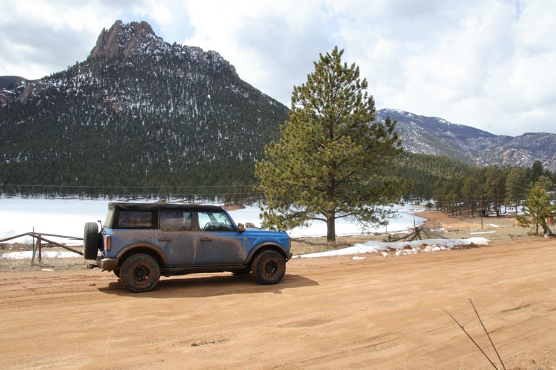
Wellington Lake Road is a well-maintained dirt road that connects Wellington Lake, in the south, to the town of Bailey, in the north. Although the trail does not provide the customary expansive views that Colorado trails are known for, this trail has its own beauty as it meanders through the dense pine forest of the Pike National Forest. Although 4WD and airing down are not required for this trail, airing down is recommended due to a section of washboarding near Estabrook Park Historic District. The rest of the trail is well-maintained and wide enough to pass oncoming traffic. There are no obstacles to be concerned with along the trail, but snow may be present during winter months. Although there are signs advising to camp in designated sites only, camping sites are not found. There is paid camping available at Wellington Lake and an abundance of primitive sites on Redskin Road.
Updated: 07/04/2024
Powerline East Road
Monument, Colorado
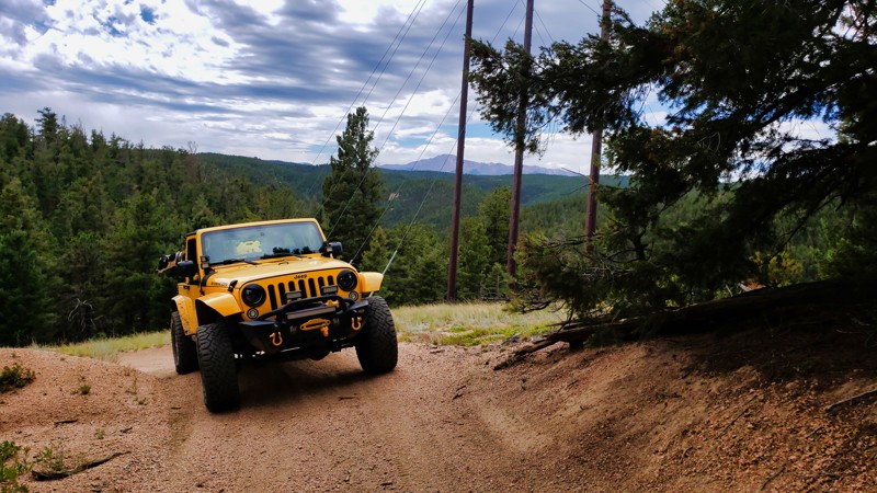
Situated near Monument on Colorado's Front Range, Powerline East Road provides an easily accessible yet captivating off-roading experience. The trail offers an array of appealing camping spots and mild terrain, making it perfect for off-roading novices or those looking for a more laid-back adventure. Yet, the show's star is undoubtedly the commanding view of Pike's Peak, an awe-inspiring backdrop throughout your journey. As the seasons change, so does the trail's canvas, with the fall transforming the surrounding foliage into a vibrant mix of reds and golds, providing an unforgettable contrast against the majestic Pike's Peak. Powerline East Road offers the ideal mix of easy-going exploration, camping delight, and scenic spectacle.
Updated: 08/17/2026
Pool Table Road
Creede, Colorado
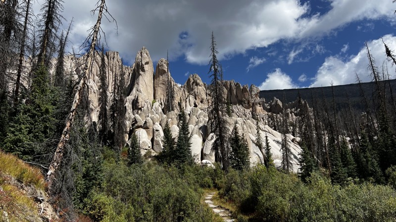
Located a short distance east of Creede, Pool Table Road is a long and extremely rough out-and-back trail that leads to a very remote and unique landscape known as Wheeler Geologic Area. Shaped by volcanic ash deposits that have eroded into striking spires, cliffs, and formations, the area was designated as Colorado's first national monument in 1908. Later stripped of the designation in 1950 due to the difficulty of access, it is no surprise this rugged 4x4 road remains a hidden gem for geology enthusiasts and photographers.
The first ten miles of Pool Table Road follow a fairly smooth, well-maintained road to a large parking area known as Hansen's Mill. Along this section, you will find nearly a half dozen, large campsites, good for multiple vehicles, scattered throughout with expansive views of the surrounding San Juan Mountains. The parking lot at Hansen's Mill offers pit toilets and is an ideal location to air down, as you will definitely need it. The road then crosses through a gate and immediately turns into a true 4x4 trail for the remaining 14-mile trip. Drivers can expect narrow sections, deep ruts, and very rocky terrain, making for slow progression. There are a few climbs and descents over loose and embedded rocks, which are roughly the size of baseballs. You will also have the chance to cross a few small streams before eventually reaching two large mudbogs that will test your traction. Proper self-recovery gear is paramount if traveling alone. Ultimately, Pool Table Road ends about a half mile from the formations, at a large parking area and a couple of camping spots A short hike will take you into the eruption zoom of the La Garita Caldera approximately 25 million years ago, where you can explore the formations and stretch your legs before heading back the way you came.
Updated: 11/27/2023
La Veta Pass
La Veta, Colorado
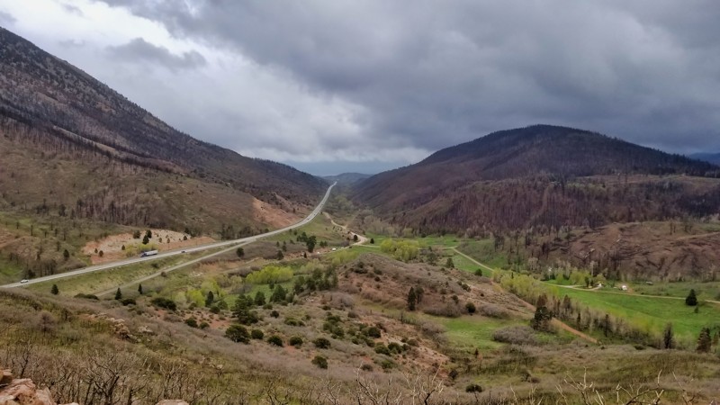
Experience a captivating blend of history and natural splendor along La Veta Pass in Southern Colorado. This fascinating trail, which once formed the pinnacle of the 'Railroad Above the Clouds,' offers an intriguing journey through the Sangre De Cristo Mountains at elevations surpassing 9,500 feet. The route takes you past Uptop, a historic logging and railroad stop transformed into a monument and lively event venue. Along the way, visible scars from the 2018 Spring Creek Fire—the state's third-largest—add a poignant layer to the landscape. Despite its challenges, the trail serves as a compelling testament to nature's resilience and the enduring impact of history. Don't miss this enriching detour that seamlessly merges Colorado's past and present.
Updated: 06/02/2024
Washoe Gulch
Idaho Springs, Colorado
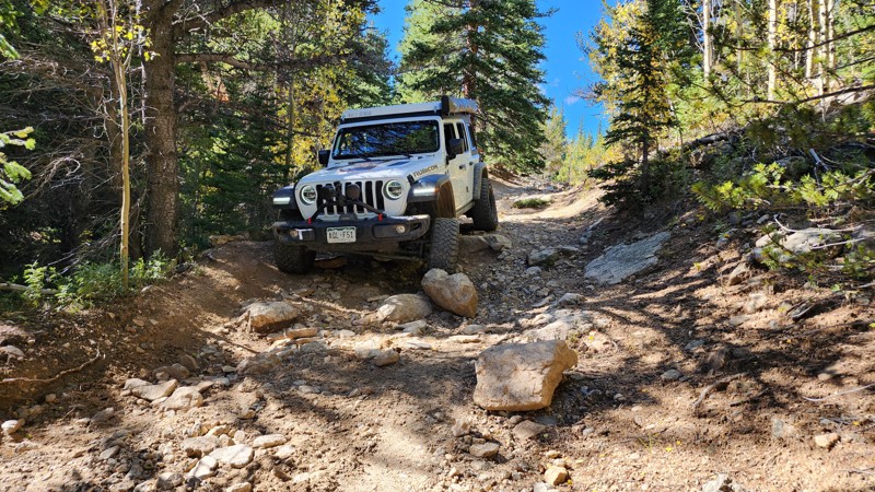
Situated in the Arapaho National Forest and close to Denver, Colorado, the Yankee Hill 4X4 network is filled with many four-wheel drive trails. Washoe Gulch is one of the many connector trails in the area, with dispersed camping and old mining ruins. This is an excellent off-road trail for beginners or those who want to escape the city while in the heart of mining country with high deep forests and high-altitude views.
Updated: 09/23/2026
Leon Lake 127
Grand Mesa, Colorado
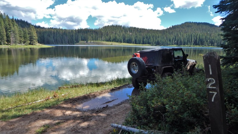
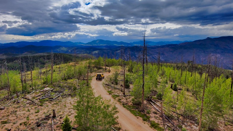
Located deep within the Grand Mesa National Forest, pristine Leon Lake sees very little human traffic. Countless creeks and bubbling springs in the middle of the trail feed the tiered lake system. Combined with Park Creek, FR 262, it creates a challenging and beautiful all-day 4x4 adventure. The trail requires a vehicle with oversized and aggressive mud terrain tires for the countless mud pits and long sections of large boulders covered in mud from springs leaching the ground. Attempts to tame the marshy terrain with cinder block pavers over the years have almost disappeared. The trail is muddy all year and likely impassable in springtime. Completing the entire trail requires high clearance, low-range gearing, and experience in self-recovery. You will get muddy and have pinstripes from the tight brush at a couple of water crossings.
Camping is spectacular and relatively abundant along the lakes and creeks. A highlight campsite is at the two creeks junction, where FR 262 and FR 127 join, just before the bridge.
Updated: 10/31/2024
Teller County Road 202
Divide, Colorado
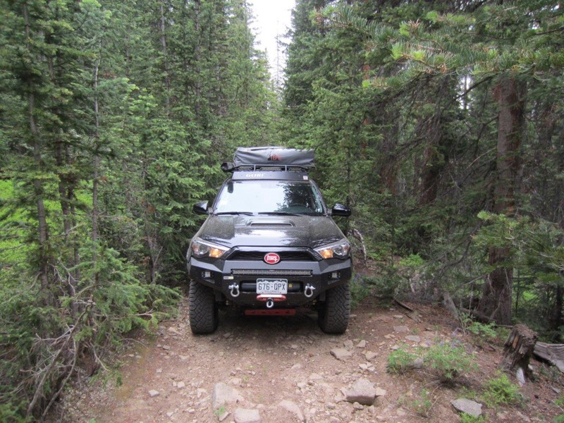
Teller County Road 202 is surrounded by a quintessential Colorado landscape, where aspen groves dance in the wind and towering pine trees cast their long shadows across the trail. This trail showcases the rugged beauty of Wildcat Canyon before the Hayman Fire of 2002, offering sweeping views of the landscape as it dips in and out of the burn area. The trail is an excellent opportunity for solitude and reflection, as it's less frequented than other roads in the area. It’s not just a drive but an immersion into the wilds of Colorado, a treat for the senses that leaves you with a deep appreciation for the state's grandeur.
Updated: 09/22/2026
Benson Cabin
Red Cliff, Colorado
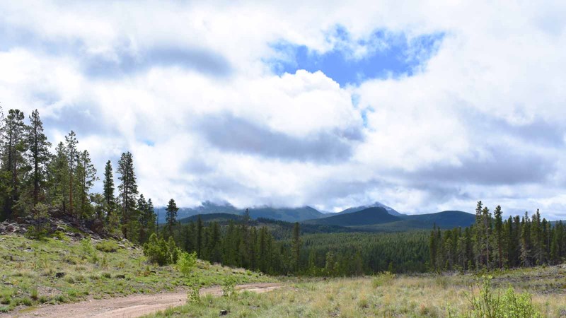
Benson Cabin Trail does not necessarily have the same draw as some of the nearby trails, however this trail is often secluded and it is rare to pass any other traffic. At the end of the trail, there are a lot of fallen pine trees that if you get out here and hike through these trees you can be rewarded with some great views of the Sawatch Mountain Range including Mount of the Holy Cross. It is also technical enough and close enough to go quickly and test out some rig flex and still be home in time for an early dinner!
Updated: 07/01/2024
Observatory Loop
Nederland, Colorado
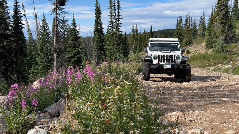
Situated on the west side of Colorado Highway 119 between the quaint little towns of Nederland and Rollinsville is a small network of hiking, mountain biking and 4x4 trails known as West Magnolia. Like much of the Colorado Front Range, the area is rich in mining history and abundant in scenic beauty. These easy-to-moderate four-wheel drive roads can provide a quick outing or be strung together to make a whole day or more of fun in the woods. Camping is available in designated sites. Its proximity to the Denver area and ease of access make it popular for day trips or short weekend jaunts. Observatory Loop is a pleasant, scenic loop around the northern portion of this network.
Updated: 07/28/2026
Buffalo Pass
Steamboat Springs, Colorado
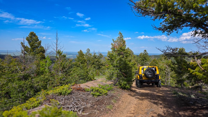
Buffalo Pass is a long route situated near Steamboat Springs. It offers plenty of dispersed camping and sights to see as it travels over its namesake pass. The route is described here as if one were driving from west to east.
The west side is rocky, rutted, and bumpy, requiring high clearance. It is loaded with dispersed camping with the better and more abundant sites being further from Steamboat Springs. At the top of the pass is picturesque Summit Lake and Campground. The campground has picnic tables, fire rings, and a shared vault toilet. If you drive from west to east, pick a dispersed campsite before the campground. The views will be primarily meadow scenes, with classic-looking granite outcroppings, wildflowers, and lush pine.
Once at the top of the pass, the eastern side turns smooth and suitable for any vehicle. It drops into the forest, which is a mix of pine and aspen. Dispersed campsites on the east side of the pass are few and far between.
Updated: 07/10/2025
Winding Stairs Road
Monument, Colorado
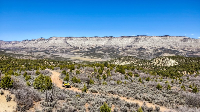
Tucked into the forested slopes just outside of Monument, Colorado, Winding Stairs Road lives up to its name with a rhythmic series of turns that feel like they’ve been carved right into the hillsides. Just off Rampart Range Road, this trail invites drivers to slow down, listen to the wind through the pines, and enjoy the kind of peace that only comes from being in the forest.
Of course, the real draw here is the camping, and it’s the kind of place where a crackling fire and a good chair can turn a simple overnight into a real recharge. If you're lucky, you'll spot wildlife slipping through the trees or catch a peek of distant ridgelines just beyond the bends while getting to your spot. It’s a perfect trail for anyone looking to trade the noise of the world for the quiet rhythm of the woods, one winding turn at a time.
Updated: 06/15/2024
Speer Hunter
De Beque, Colorado
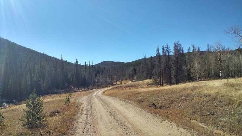
Located in Mesa County, just west of De Beque, Speer Hunter is a trail that offers plenty of camping and other outdoor activities in a very rugged and remote environment, yet relatively close to the major metropolitan area of the Grand Valley. This trail traverses the north side of South Shale Ridge and is a great trail to include with others in the area for a full day or even a full weekend of off-road adventures. The warm and dry area this trail is located in ensures that it is passable for a longer period of the year compared to other trails deeper in the Rocky Mountains. Early Spring and late Fall are great times to visit this beautiful area.
Updated: 12/16/2023
Pearl Beaver Road
Red Feather Lakes, Colorado
Pearl Beaver Road is an easy off-road trail that connects Deadman Road to Cherokee Park Road traveling through private property and the Roosevelt National Forest. This road has access to several other less maintained 4x4 trails that are open to all types of off-road travel, have some secluded campsites, and good hunting access. Some of these roads are permanent while others are closed and reopened as the years pass. Pearl Beaver Road is a good to know trail when exploring the Red Feather Lakes area and Deadman Road.

Upgrade your Membership
Unlock all of the details on every Trail Guide and Scout Route.
Start a 7-day Free TrialBrowse Trails in Colorado by City
Browse every Colorado city with offroad trail guides.
Community
Partners

