













By clicking "ACCEPT", you agree to be the terms and conditions of each policy linked to above. You also agree to the storing of cookies on your device to facilitate the operation and functionality of our site, enhance and customize your user experience, and to analyze how our site is used.
Colorado Off-Road Trails
602
Total Trail Guides 575

6450
Detailed Waypoints 568
Try a Free 7-Day Trial and unlock it all
Start a Free Trial Most Recent Trail Reviews
Rated 5/5
Open
Visited: 09/23/2026
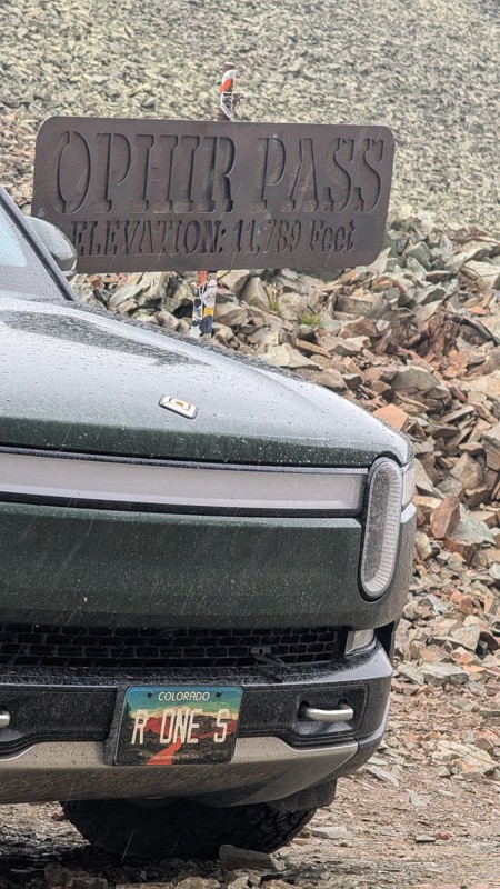
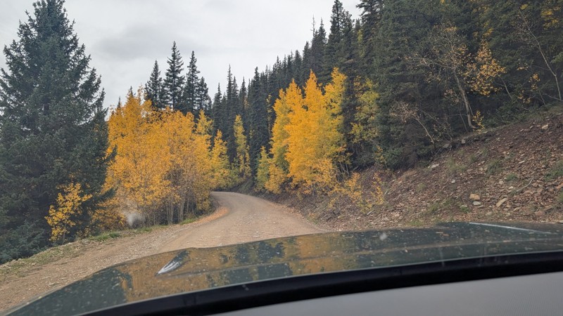
nice trail with good views. a classic in the San Juans... it's not quite as easy as 2 but not a true 3 either. Totally doable with a stock 4WD.


Mustafa ParDane
Official Crew
Rated 5/5
Open
Visited: 09/23/2026
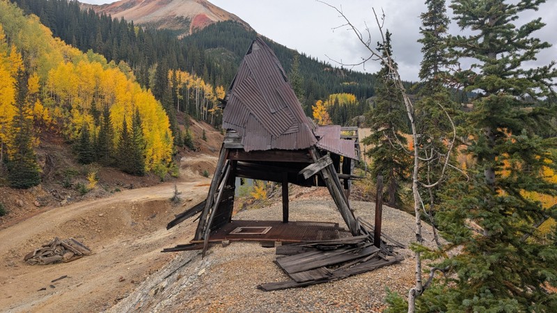
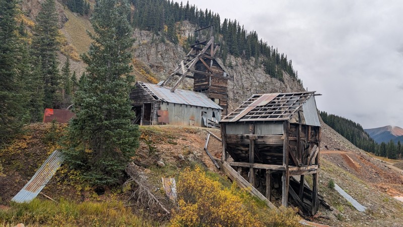
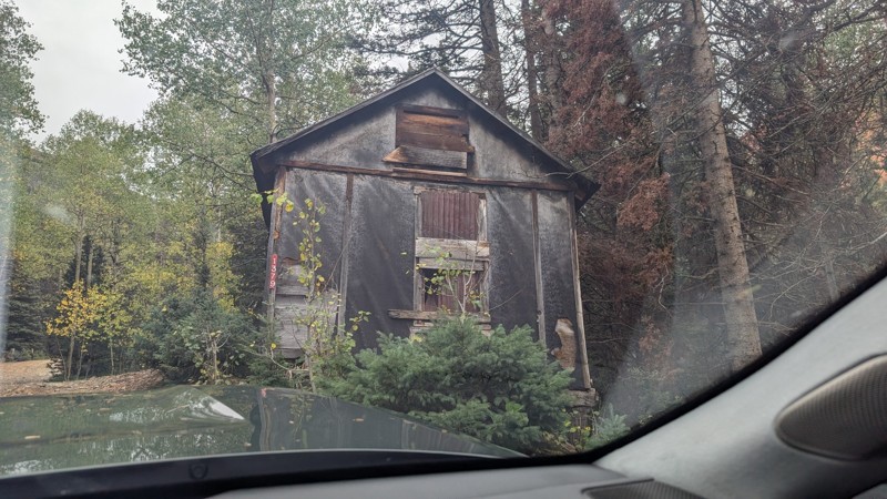
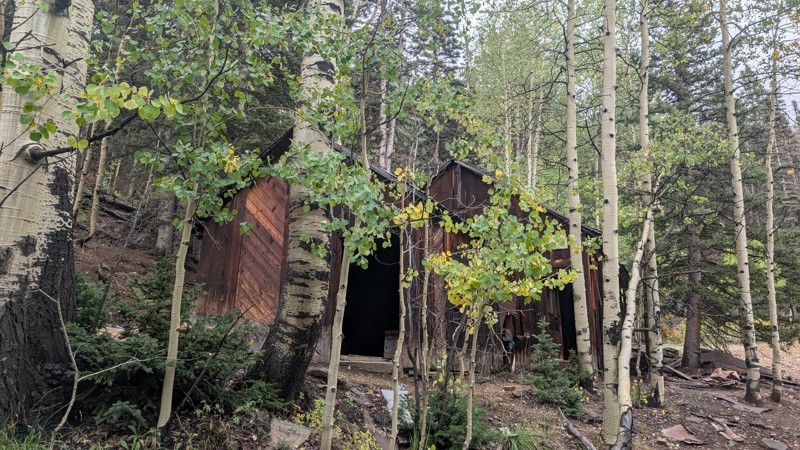
Nice fun easy trail! You will see lots of mines. I mean lots of them. If you are into it, this is the trail for you :)
Mustafa ParDane
Official Crew
Rated 5/5
Open
Visited: 09/23/2026
It's a steep climb all the way from the beginning to the top but there is no real obstacles. You will see some cool mines. And the views are awesome. You will see some good views of the Red Mountain p...
Mustafa ParDane
Official Crew
Rated 5/5
Open
Visited: 09/23/2026
We frequent this route probably once a week from GoG to Woodland Park. Be very careful on the blind curves - no shortage of knuckleheads driving way too fast (a biker was struck fatally in June). Us...
TC
Tim Crane
Rated 5/5
Open
Visited: 09/22/2026
Scenic road connecting to other alpine loop trails. it's not very technical or hard. but if you don't prefer shelf roads, maybe that can be considered hard. Red Mountain peaks are awesome. the scenery...

Mustafa ParDane
Official Crew
Rated 5/5
Open
Visited: 09/22/2026
Besides the shelf roads, there is not other bug obstacle or anything technical. As always, it has really good views :)


Mustafa ParDane
Official Crew
Rated 5/5
Open
Visited: 09/22/2026
Views are awesome as always with any alpine loop trails. There is a very short hike at the summit that takes you to even higher point with better views. Lake Como looks very good from there.


Mustafa ParDane
Official Crew
Rated 5/5
Open
Visited: 09/22/2026
Started from Lake City as most people recommend running the alpine loop clockwise. I think that was a wise choice because I didn't have a lot of ongoing traffic. The views are awesome and they start r...


Mustafa ParDane
Official Crew
Rated 5/5
Open
Visited: 09/22/2026
Tough trail, lots of technical spots throughout. Dont attempt solo or with any kind of stock truck!


Greg Dermann
Rated 4/5
Open
Visited: 09/22/2026
Just a dirt road with lots of potholes. Nothing technical. Drove this up to the 401 Trailhead to bike. Pretty busy with folks camping and leaf peeping. Overall it is in a pretty area and theres good c...



Davis McPherson
Rated 4/5
Open
Visited: 09/22/2026
Ok I have not run that trail in the last 4 years. I don't recall it looking like the photos. Did it recently get this way (rock garden) and get the difficult rating?
C
coyoteslocos
No Rating
Temporary Closure
Visited: 09/21/2026
Sign at the bottom of the hill says road construction but when you get to the turn off it is blocked.
PD
Paul Dixon
Rated 5/5
Open
Visited: 09/21/2026
Ran the trail from Westcliff side over the pass and into Great Sand Dunes NP. Had great weather. Don't think it had rained much in the days prior. So, the trail was dry. Think the difficulty ratin...



Stephen
Rated 5/5
Open
Visited: 09/21/2026
Id put it at a 3 some larger rocks mud and shelf roads: beautiful trail. Highly recommend.


Brian mckie
No Rating
Open
Visited: 09/21/2026
There is an area towards the end of this trail not long before it opens into the meadow that is very shaded and has become a mud hole. Well, somebody with a vehicle not capable enough to get through i...

Curt Greeley
Rated 5/5
Open
Visited: 09/20/2026
Ran this trail for the first time on 9/20/26. Absolutely stunning views and the leaves were almost at peak. This might be my new favorite trail to run during this time of year. Not difficult, but long...



Jack Mackie
Rated 4/5
Open
Visited: 09/20/2026
I wanted to run this trail on my way out from the gulches area but when I got down to the first stream crossing it had a few large logs placed in it. Im not sure if this is for traction or what, but I...
Jack Mackie
Rated 5/5
Open
Visited: 09/20/2026
First time out here and I ran this alone on 9/20/26 coming back from Old Stage 220. Took Sportsman Rd to get to 220 so I decided to take this to trail to get back to Cedar Mtn Rd. This is more fun tha...
Jack Mackie
Rated 5/5
Open
Visited: 09/20/2026
This is one of my favorite trails. I like to start at St. Mary's and run it in reverse lf this trail guide. I prefer to take most of the steep sections downhill, but if you want a fun challenge, then ...


Tim
Rated 5/5
Open
Visited: 09/20/2026
Ran this on 9-20-26 up to the Phoenix rocks. WK2 3" lift on 33's. Never been in this area before but I have read many of the reviews on here about the gulch trails. I was alone and the phoenix rocks w...

Jack Mackie
SH
Sharon Hansen
Rated 5/5
Open
Visited: 09/20/2026
Maiden voyage for my stock suspension 1994 Wrangler. The trail was surprisingly rocky in the beginning. Beautiful views and not too much traffic.
SH
Sharon Hansen
Rated 2/5
Partially Open
Visited: 09/20/2026
While there were some aspen views, this is not the best place to find them. Most of the views of the surrounding area are obscured by pine trees that are close to the road. Many of the overlooks are o...
MG
Mike Gerdts
Rated 4/5
Open
Visited: 09/20/2026
We enjoyed the trail. Beautiful scenery. Definately narrow in some areas. The terrain itself wasn't so difficult. Clearence is needed for some of the rocks in the trail.


Lisa Johnson
Rated 4/5
Open
Visited: 09/19/2026
Ran it in a 157"WB F150 on 33's, and would probably run it in a passenger car. Great views, easy climb and the switchbacks were totally navigable in a fullsize. Some of the roads on top are more app...
J
Justin
Rated 5/5
Open
Visited: 09/19/2026
The last descent at the end is kind of muddy so take it extra slow.



Joshua Scurran
Rated 5/5
Open
Visited: 09/19/2026
Ran east to west. The ascent at waypoint 14 has been cleaned up considerably - not sure if this was the work of the recovery crew we passed who were headed up Mt Baldy road, but it was much less rocky...

Jeff Dew
JG
Joseph G Botthof III
No Rating
Temporary Closure
Visited: 09/19/2026
Following up on Ryan's post, multiple incidents have occurred of vehicles sliding off the trail at washouts. CO4x4RNR was up yesterday recovering a vehicle, and we were told the trail will remain clo...

ERIC D BROWN
Rated 5/5
Open
Visited: 09/19/2026
Epic views at the top make this in and out road a must see on my list. Shelf roads with a few areas for passing. Switchbacks and 12"-18" boulders in only a few places to navigate. 4wd and good clearan...



Desi
Rated 5/5
Open
Visited: 09/19/2026
Expect closures Sept 21-24 for pipeline maintenance starting near the trestle. Perhaps related, there’s a rusty 4-6” pipe sticking out of a puddle near the trailhead at the top.
It’s been a bit rai...

MG
Mike Gerdts

Kirk Kneezle
Kirk Kneezle
Kirk Kneezle
WH
William Harkcom
Rated 5/5
Open
Visited: 09/18/2026
Great trail. Lots of fun, great views. Loved all the rock outcroppings.



Jessica H
Rated 5/5
Open
Visited: 09/18/2026
Short but fun. Right mix of technical and scenic. Ran this with Solitude Creek. Great views but that initial climb looked daunting but once you get into it wasn’t that bad.


Jessica H
No Rating
Temporary Closure
Visited: 09/18/2026
Forest Service has closed the trail due to washout damage. No ETA yet on fixes or reopening.


Ryan Boudreau
Official Crew
No Rating
Open
Visited: 09/18/2026
Only drove it to the Chinns Lake cutoff, but that part was in great condition. They've recently laid down new gravel on the lower portion in the neighborhood, it is super smooth.
S
Scott
No Rating
Open
Visited: 09/18/2026
Great condition. Only tough spot is some deep holes just before you get to the lake, otherwise it's easy. The mud holes are deeper than I remember, but it's been raining quite a bit. Lake is very, ...
S
Scott
No Rating
Open
Visited: 09/18/2026
We ran it downhill from the Miner's Gulch area. It's an easy descent thru the forest, a few rocks here and there, nothing major. Nice view of the aspens and rain clouds moving thru the area. Decent...
S
Scott
No Rating
Open
Visited: 09/18/2026
Mostly moderate, but a few spots are pretty rough with unavoidable and awkwardly placed boulders - stock vehicle are likely to hit their rocker panels. Good approach angles and rock sliders are your...
S
Scott
Rated 5/5
Open
Visited: 09/18/2026
Trail is in great condition, views from the top are magnificent.
S
Scott
Rated 4/5
Open
Visited: 09/18/2026
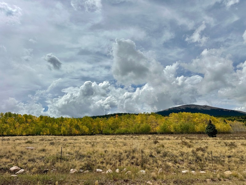
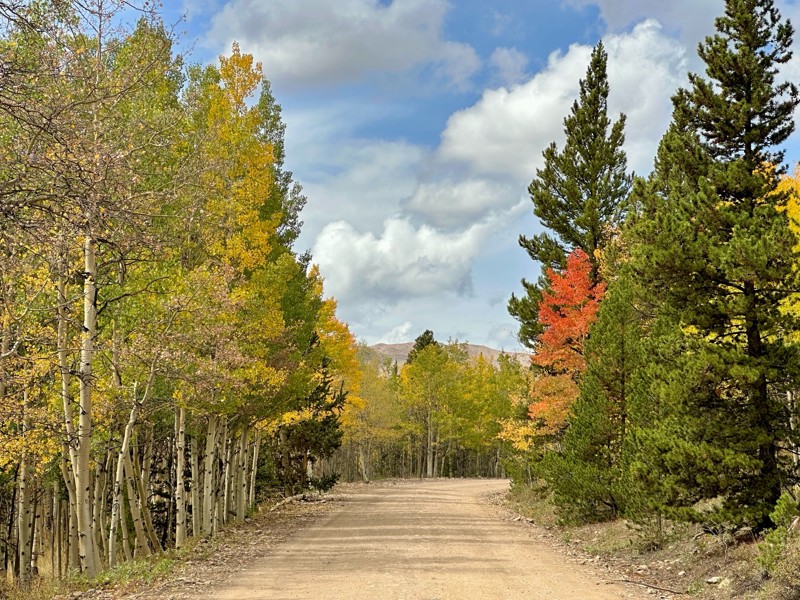
Went up for the aspens and I’d guess, for the most part, they’re maybe a few days past peak. Ran it in “reverse” starting from the east trailhead and there was still plenty of good color to see. Close...

Scott Bram
Rated 5/5
Open
Visited: 09/18/2026
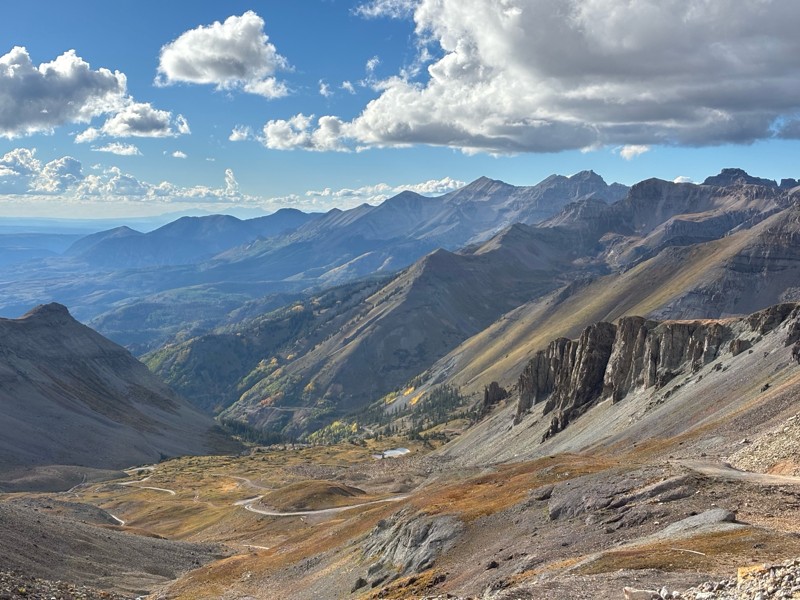
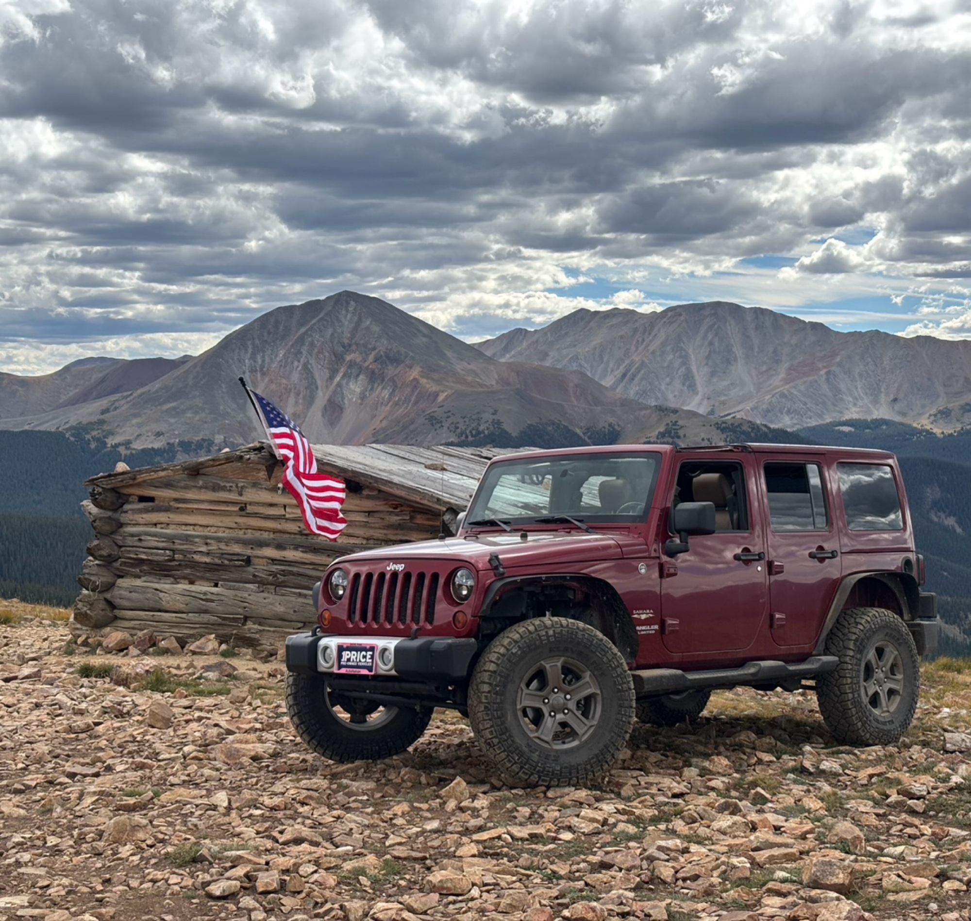
Ran the trail starting in Telluride on Friday the 18th. The trail is open the whole way through to Ouray. Very little dust thanks to all of the rain lately made our first time on Imogene very pleasant...
Matthew Stef
Rated 5/5
Open
Visited: 09/18/2026
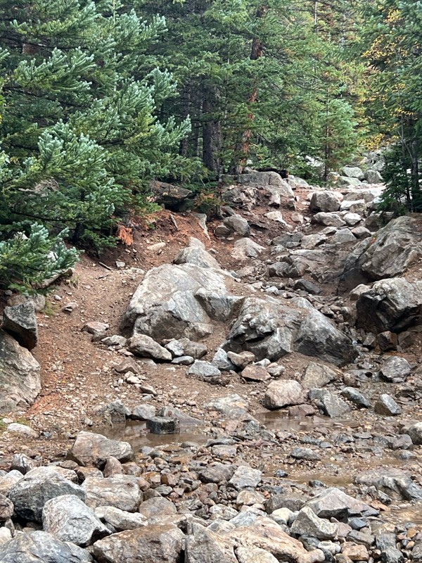
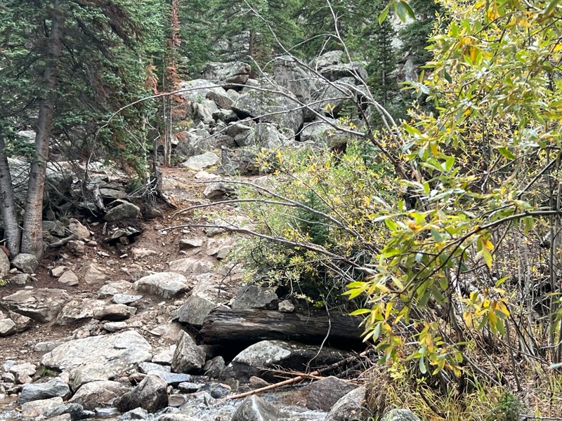
Fantastic views. Great time of the year to go - less likely to need to pass other vehicles on some steep ascents. The “gatekeeper” obstacle and narrow (no room to pass) sections are the major conside...
TK
Tarik Khatib
Rated 5/5
Open
Visited: 09/18/2026
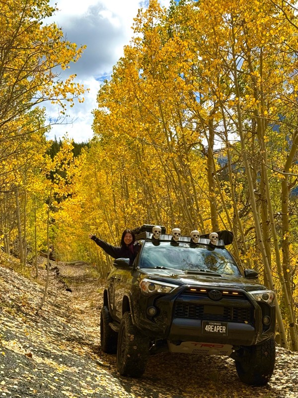
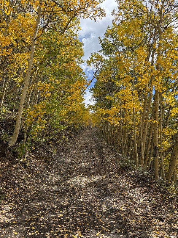
We honestly didn’t mean to take this road but ended up on this road on accident looking for a way to get from Georgia pass to Breck. The colors were amazing!! We came east to west so we were heading d...
V
Vince
Rated 5/5
Open
Visited: 09/18/2026
Beautiful trail. Fun whoops and a pretty rocky section. Would definitely recommend not taking the family sedan.
Wade Williams
Most Popular
Updated: 06/23/2024
Pennsylvania Creek
Blue River, Colorado
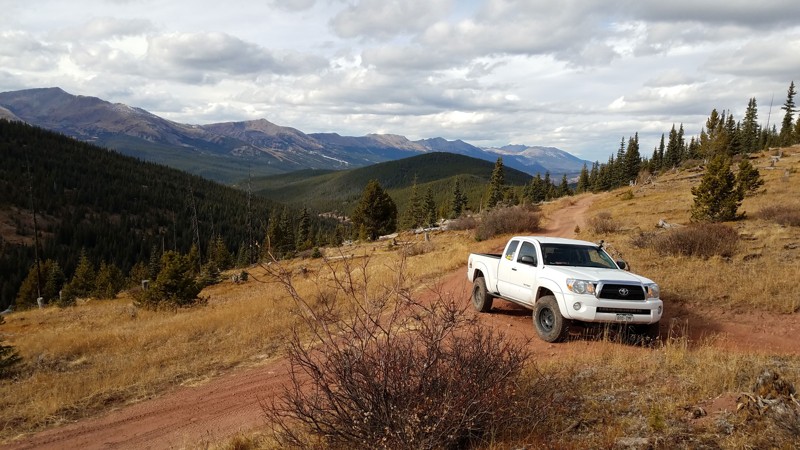
As the name implies, this 4WD trail follows Pennsylvania Creek as it makes its way down from the shoulder of Red Mountain into the Blue River. The trail diverts up the opposite side of the valley and offers some spectacular views as it ascends just above tree line.
Pennsylvania Creek is a relatively easy forest road that is often combined with Indiana Creek via a connector and Boreas Pass to make a fun 1/2 day adventure for stock trucks.
Updated: 12/17/2024
RIM Road
Sedalia, Colorado
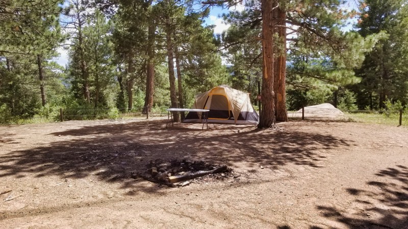
RIM Road offers a quintessential forest drive teeming in the Pike National Forest with abundant camping options for large groups and vehicles. Frequently visited, the trail serves as a gateway to many recreational opportunities along Rampart Range Road. Known for its welcoming yet adventurous nature, RIM Road emerges as an excellent choice for those keen on exploring the forest's heart while seeking a camping haven amidst the natural beauty of the Rampart Range area.
Updated: 06/16/2024
Mosquito Creek Road
Black Hawk, Colorado
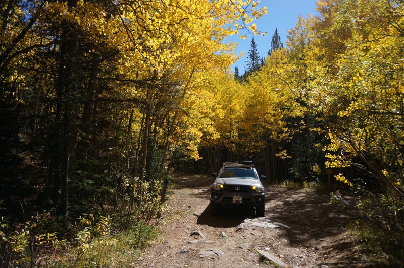
Mosquito Creek Road is a fun trail that is less popular than other trails in the expansive Yankee Hill trail system. It is one of the many ways to access other trails in the area, and it offers beautiful views of aspens in the fall, colorful wildflowers when they are blooming, and panoramic views of the mountains in the distance when you reach the north trailhead. There are many mining claims along the trail, some still active. The trail cuts through private property, so do not leave the trail!
Updated: 06/21/2024
Rule Ridge Road
Woodland Park, Colorado
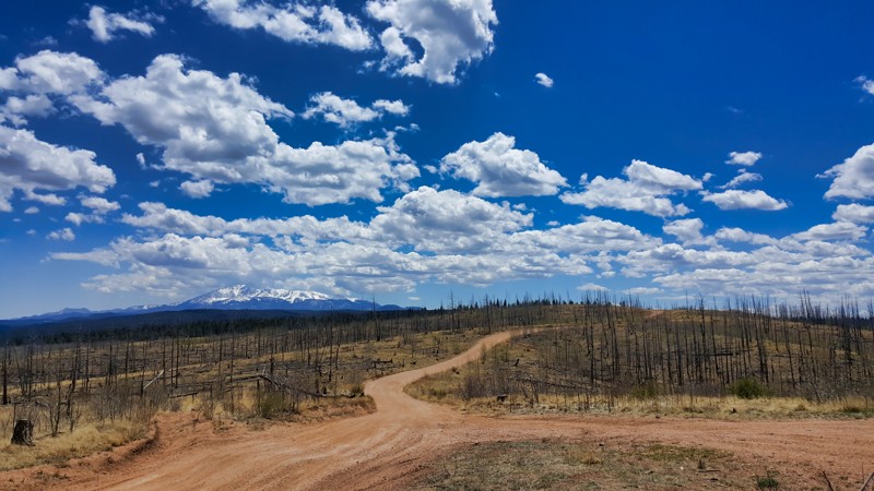
Rule Ridge Road combes light off-roading with magnificent forests and landscapes. As it winds along a ridge, panoramic views of towering mountains and valleys unfold, including the grandeur of Pikes Peak and the South Platte River. The trail offers a particularly stunning spectacle during Fall when aspens growing in the visible Hayman burn area explode into vibrant colors. The trail's allure doesn't stop at its vistas. It also presents a mild wheeling adventure with steep sections and rocky spots and the opportunity to spot local wildlife like deer and elk. Rule Ridge is ideal for those seeking a less crowded, visually stunning off-roading experience in Colorado.
Updated: 06/08/2024
Cottonwood Lake
Buena Vista, Colorado
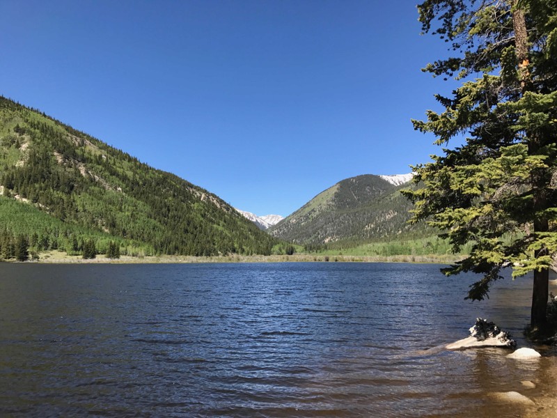
The Cottonwood Lake Trail is a short, easy drive that allows for campground camping and several recreation opportunities in close proximity to downtown Buena Vista. The Cottonwood Lake Trail follows CR 344 along South Cottonwood Creek until it reaches Cottonwood Lake. The trail then continues around the lake to the Cottonwood Lake Campground and connects to the Mineral Basin Trail. Mineral Basin allows for access to the area above the lake for further exploration and off-roading. Cottonwood Lake offers shore fishing and a boat launch for non-motorized water craft. Many times you will find stand-up paddlers, canoes, kayaks, inflatable rafts and fishermen in float tubes enjoying the water based recreation the lake provides.
Updated: 07/01/2024
Long Draw Road
Gould, Colorado
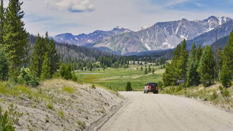
One could consider this the origin of the Grand Canyon. Long Draw Road leads to where the Colorado River begins its magnificent 1450-mile-long journey through the southwest United States and Mexico. Long Draw Road lies along the northern edge of the Rocky Mountain National Park at the continental divide in northcentral Colorado. Beautiful and rugged mountain views are abundant as you travel near three wilderness areas, Comanche Peak, Never Summer, and Neota Wilderness. At the road’s end, there is plenty of room to park and then hike about one-half mile to the headwaters of the Colorado River and a little further to the ghost mining town of Lulu City. Make sure you have your camera along for this adventure.
Updated: 06/05/2022
21 Road
Fruita, Colorado
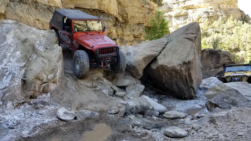
One of the most well-known trails on the western slope of Colorado, 21 Road is a trail that will give any driver or vehicle a challenge. The trail follows a rocky wash through Hunter Canyon, into the Book Cliffs, and gets progressively more difficult the farther you travel. Most obstacles have multiple line choices including ones that will leave you asking, "are you crazy"?
Buggies and extreme Jeeps come from all over to attempt the massive boulders along the last quarter mile, but the most well-known features along this 4wd trail are the two alcoves where massive overhangs give you the feeling of driving through a cave.

Updated: 06/29/2026
Ute Trail
Parkdale, Colorado
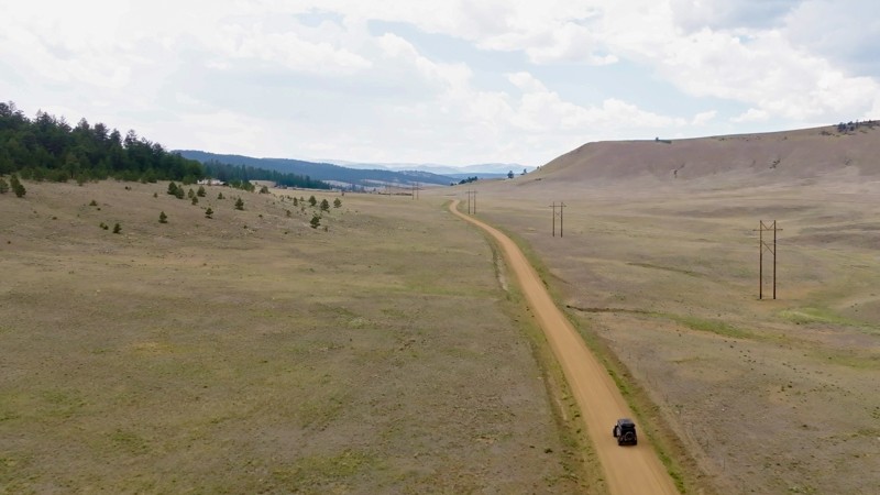
Winding through the heart of Colorado’s high country, Ute Trail is a classic Central Colorado Mountain traverse that blends sweeping scenery with approachable off-road adventure. Once used by the Ute people and early settlers, this historic route runs east to west between U.S. Highway 9 northwest of Canon City and the Arkansas River Valley near Salida. It rises steadily through ranchland, open meadows, and aspen and pine groves, eventually opening up to broad ridgelines with panoramic views of the Collegiate Peaks to the west and the Sangre de Cristo Wilderness to the south.
The trail itself is a well-defined, mild gravel road, making it a perfect fit for any vehicle, including overlanders, and casual explorers looking to get off the pavement. Expect packed dirt, occasional washboard stretches, and some slight mud depending on the season. Several dispersed campsites along the route offer serene overnight options beneath the stars.
Updated: 12/01/2023
Velocity Basin
Silverton, Colorado
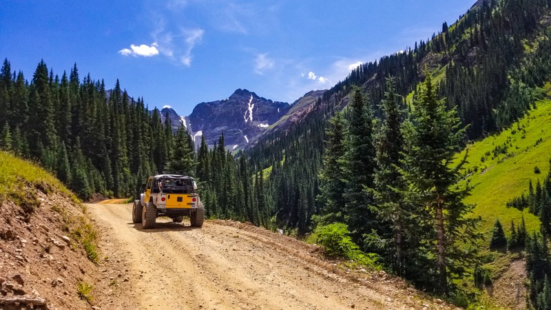
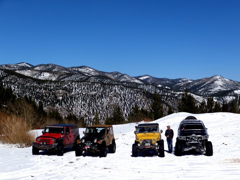
Known more for its skiing rather than it's 4wheeling, Velocity Basin is an easy dirt road that leads you to a gorgeous glacier-fed lake at the north foot of Storm Mountain. Velocity Basin was formerly known as Colorado Basin and is located on the east-facing slope of Silverton Mountain Ski Area. This may be a short easy trail, but the views and scenery will leave you picking up your jaw from the ground. The beauty of this basin is incredible and it's hard to believe it's so close to town.
Updated: 07/01/2024
Silver Creek
Downieville-Lawson-Dumont, Colorado
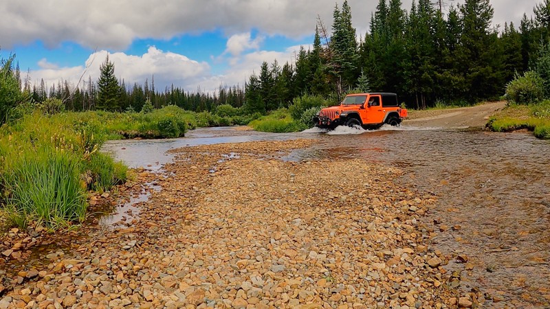
Located just south of present day Lawson, Silver Creek was a booming mining and resort community first settled in 1869. Rich silver deposits helped produce over 6 million dollars until the 1893 silver crash. By 1922, most of the mines were closed and the last inhabitants left during the depression. Today, four-wheelers and ATVs have carved hundreds of trails and routes all over the area of Silver Creek, but almost any reminder of what was once a booming mine settlement has been lost. These easy to moderate dirt routes provide ample opportunity to seek seclusion and immerse yourself in the dense forest.
Updated: 09/10/2023
Silver Creek Road
Gould, Colorado
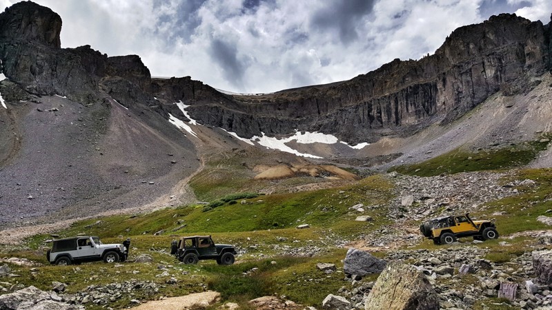
Water and water-crossings highlight Silver Creek Road, which travels from the base of Owl Mountain eastward toward the Continental Divide at the edge of the Never Summer Wilderness Area. The terrain is rugged, heavily forested, and wet, but the views of the peaks in the wilderness area make this trip a worthwhile adventure. Winter ends late and begins early in this part of the high country. The trail is often saturated from the late snow melt or the typical afternoon showers during the summer. Moose sightings are common in this part of the national forest.
Updated: 10/09/2024
Sydney Basin
Ouray, Colorado
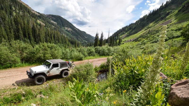
Located in the mountains of Uncompahgre National Forest near Ouray, Sydney Basin is yet another astonishing high alpine basin that provides epic views of some of the most pristine mountains of the San Juans. This 4wd road is slightly less traveled, especially by the rental Jeeps as it is not the easiest to find, and will test your resolve with shelf roads. Great high alpine camping can be found along this route. Combine this trail with Governor Basin to extend your day of breathtaking mountain views.
Updated: 06/01/2024
La Plata Canyon
Mancos, Colorado
Located within the far southern region of the San Juan National Forest in Colorado is the popular and picturesque La Plata Canyon. The easy and well-maintained trail travels through a deep canyon with several organized yet primitive campgrounds. The route offers several chances to explore more challenging 4x4 side trails, but the route is best known for leading to Kennebec Pass and Columbus Basin. Both these trails travel high above for a memorable off-road experience.
The 1.8 million acres San Juan National Forest located in southwest Colorado has thousands of miles of back-roads and hundreds of 4x4 trails to explore. The region's diverse terrain offers outdoor enthusiasts a wide variety of opportunities to experience nature without the large crowds found to the north.
Updated: 06/25/2024
Eureka Gulch
Silverton, Colorado
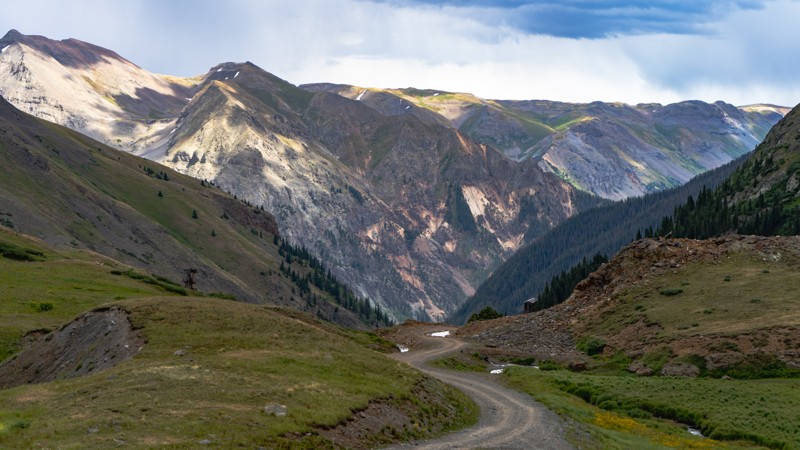
In the early summer, Eureka Gulch's four-wheel-drive road just outside Silverton, Colorado, could be likened to a make-believe land where Ireland meets Switzerland. Dark emerald green grasses with yellow wildflowers combine with jagged mountain peaks and old wooden structures jutting from its edges to create a memorable landscape. On the drive up towards Lake Emma and the infamous Sunnyside Mine, ribbons of rushing whitewater flow down the gulch. While we drive this road today for enjoyment, it was once a mining road. The mine operated from roughly 1874 to 1978. The miners had drilled tunnels under Lake Emma, and on June 4th, 1978, a Sunday, tragedy struck. The tunnels could no longer hold the weight of the lake. Lake Emma burst through, and the entire lake drained into the mine tunnels. Luckily, Sunday was the only day of the week the mine was shut down. Eureka Gulch is the perfect road for those looking for an enjoyable but tame adventure for the entire family.
Updated: 07/06/2026
Baldy Mountain Road
Breckenridge, Colorado
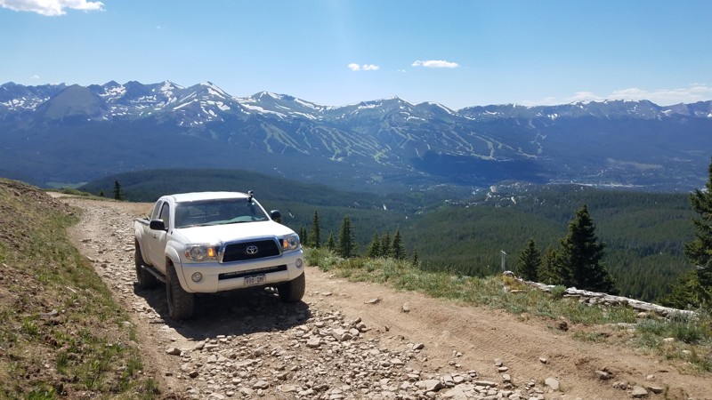
Baldy Mountain Road offers the nearest and easiest trip to get epic, near-360 degree views of Breckenridge, the Ten Mile Range, and the Swan River Valley. Because of this, it is a favorite of locals and somewhat of a kept secret around Breckenridge. The trail can be crowded with hikers and mountain bikes even on weekdays. And it's not unusual to find a couple of locals in a stock Subaru taking in the sunset from the summit. Along the way, you'll pass a few times under the remains of a tram that once carried silver and lead ores from the Little Tommy mine to the Iowa Mill in the early 20th century.
Updated: 06/24/2024
Matchless
Nederland, Colorado
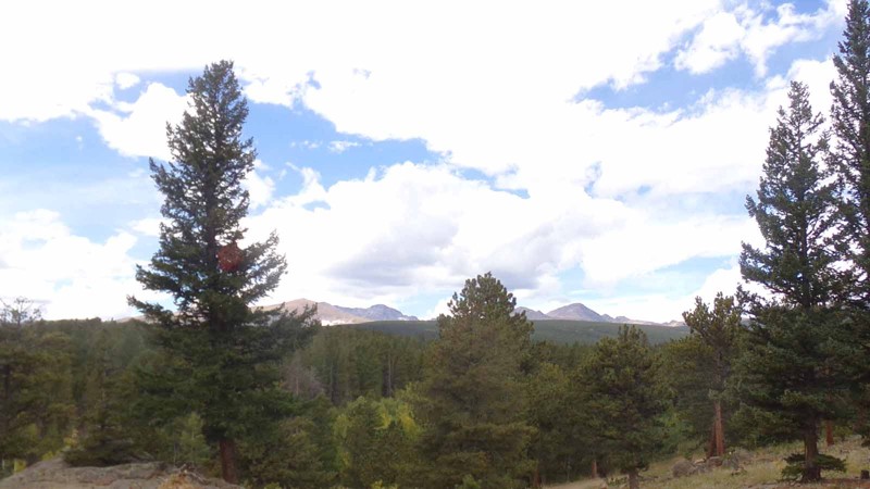
This easy side trail off of Gordon Gulch offers beautiful views, peaceful forest and access to a significant portion of the designated camping sites in the Gordon Gulch Dispersed Camping Area. It can be run as a stand-alone trail or combined with Gordon Gulch and other nearby trails to make a longer outing. Since it has no seasonal gate, it also makes a good snow ‘wheeling trail in the winter.
Updated: 07/20/2024
Brewery Hill
Breckenridge, Colorado
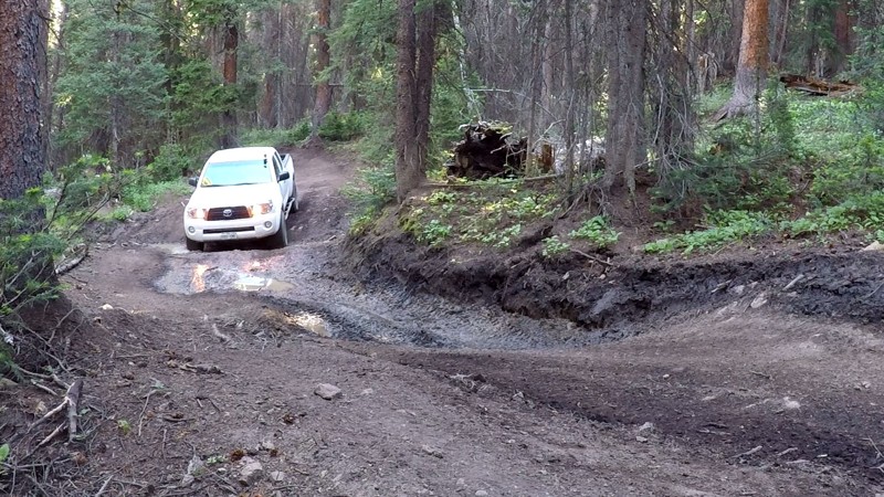
The Brewery Hill 4WD trail is tightly wooded trail that traverses the Golden Horseshoe trail system. Brewery Hill varies from steep and rocky to slick and muddy.
Brewery Hill is part of the Golden Horseshoe trail system which covers over 8000 acres between the Swan River and French Gulch. The area has a rich history and is dotted with countless mines, mills, and cabins dating from the late 1870s through the 1950s.
The Golden Horseshoe is crisscrossed with 4WD, ATV, single track, mountain bike and foot trails. Keep a sharp eye out for other folks using this network and, as always, be considerate. Stay the trail, and pack out what you packed in.
Updated: 08/10/2026
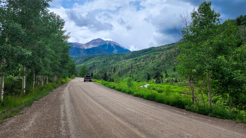
South Fork (Illium Road) AKA County Road 63L
Telluride, Colorado
Following the South Fork of the San Miguel River, South Fork Illium Road is a dirt road alternative between the tiny towns of Lime and Ophir, just west of Telluride, Colorado. The road passes through the South Fork Preserve and offers incredibly rich fall color viewing. This road is best known for being the start of Section 2 of the Colorado Backcountry Discovery Route (COBDR), a mostly off-road route across the entire state of Colorado from New Mexico to Wyoming.
Updated: 06/20/2026
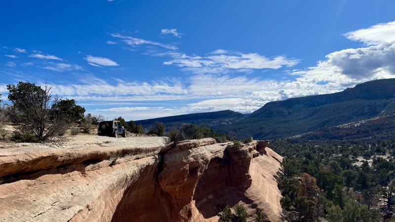
Tabeguache Trail
Orchard Mesa, Colorado
Tabeguache is an amazing connector trail or stand-alone trail. The route provides access to some great difficult trails. Trailer parking at the trailhead is abundant for towable rigs. Tabeguache Trail has some moderate shelf and rock obstacles for the weekend warrior. The whole trail takes about 3-4 hours. Or you can drop in for a few obstacles in the afternoon. Camping is limited, with very few flat accessible areas in the scenic area of the trail. The better campsites are on the east side of the trail.
Updated: 09/10/2025
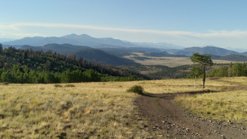
Black Dumps
Johnson Village, Colorado
Black Dumps Road is a true 4WD road located approximately ten miles east of Johnson Village, known for its rocks, ruts, and seasonal mud. This area of the San Isabel National Forest, commonly referred to as “Fourmile”, contains dozens of roads and spurs that provide a broad spectrum of outdoor recreational opportunities. Black Dumps Road is noted for its high buttes, boulder-strewn meadows, and Aspen forest. It is popular among OHV users, mountain bikers, hikers, and equestrians. Its remoteness, the variety of outdoor activities it invites, and rugged two-track roads are the greatest attractions to Black Dumps Road.
Updated: 06/21/2024
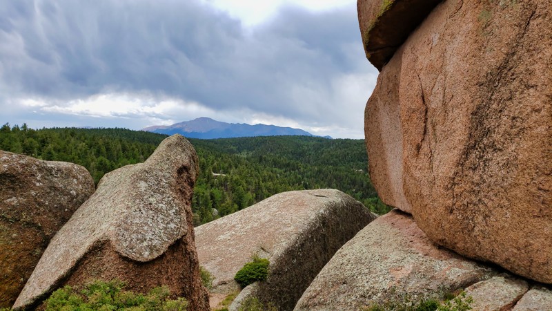
Hay Creek East Road
Woodland Park, Colorado
Hidden within Pike National Forest and an extension of Schubarth Road, Hay Creek Road East is a wonderland of diverse natural beauty and mild driving challenges. As the trail meanders downhill through a lush expanse of evergreens and aspens, drivers are led to the foot of a towering boulder outcropping, unveiling panoramic views of the valley below—a perfect spot for a memorable selfie, caution aside. Open year-round, this trail morphs into a snow-wheeler's paradise during winter. Its off-camber sections and varied elevations can turn slippery but add an extra layer of adventure, with plenty of trees offering recovery support. Hay Creek Road East is not just an off-roading trail but an all-season, all-round Colorado adventure destination.
Updated: 06/14/2024
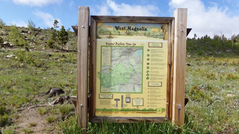
West Magnolia
Rollinsville, Colorado
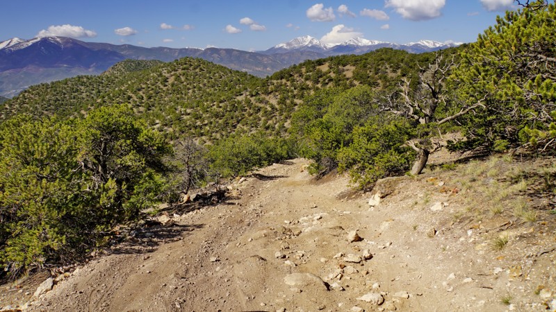
Situated on the west side of Colorado Highway 119 between the quaint little towns of Nederland and Rollinsville is a small network of hiking, mountain biking and 4x4 trails known as West Magnolia. Like much of the Colorado Front Range, the area is rich in mining history and abundant in scenic beauty. These easy-to-moderate four-wheel drive roads can provide a quick outing or be strung together to make a whole day or more of fun in the woods. Camping is available in designated sites. Its proximity to the Denver area and ease of access make it popular for day trips or short weekend jaunts. West Magnolia Road is the main access into this network. If combined with Observatory and Rollinsville it makes a nice route to the town of Rollinsville.
Updated: 07/07/2025
Deadhorse Gulch
Whitehorn, Colorado
Dead Horse Gulch is a challenging connector trail between the Aspen Ridge trail and Spiral Drive in Salida, with gorgeous views of the Arkansas Valley. It's best run downhill for the views of both the Collegiate Peaks and Sangre De Christos as you descend into Salida. The trail is mostly narrow and rocky, with several moderately difficult sections and one optional ledge obstacle that requires a good break-over angle. There are few passing places, but the trail is lightly traveled, so you are unlikely to encounter anyone coming the other way. The trail isn't recommended for full-size trucks due to a couple of narrow, off-camber shelf-road sections.
While most of the trail is unsuitable for camping, there are a handful of small dispersed campsites near both the top and bottom of the trail. More camping is available off connecting roads at the northern end. The lower part of the trail is intertwined with a network of mountain bike trails, so watch for mountain bikers and share the trail.

Updated: 06/17/2024
Adams Lake
Glenwood Springs, Colorado
Adams Lake is located in the White River National Forest as a spur off of Blair Mountain. If you are looking for a potential place to go camping while you are out in this area, look no further than Adams Lake. As you ascend up to the top where the lake resides, you will notice an abundance of wildflowers nestled on both sides of the loose, rocky shale inclines. Once you approach the top, a crisp, clean, cool mountain lake will greet you. The lake is surrounded by tall cliff walls and some of the most beautiful, dense patches of wildflowers as far as the eye can see. If it is not windy out, the reflection of the mountains in the crystal clear water with the rainbow trout that feed on the surface of the lake, you may never want to leave.

Upgrade your Membership
Unlock all of the details on every Trail Guide and Scout Route.
Start a 7-day Free TrialBrowse Trails in Colorado by City
Browse every Colorado city with offroad trail guides.
Community
Partners

