













By clicking "ACCEPT", you agree to be the terms and conditions of each policy linked to above. You also agree to the storing of cookies on your device to facilitate the operation and functionality of our site, enhance and customize your user experience, and to analyze how our site is used.
Colorado Off-Road Trails
602
Total Trail Guides 575

6450
Detailed Waypoints 568
Try a Free 7-Day Trial and unlock it all
Start a Free Trial Most Recent Trail Reviews
Rated 5/5
Open
Visited: 09/23/2026
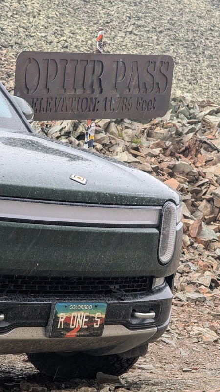
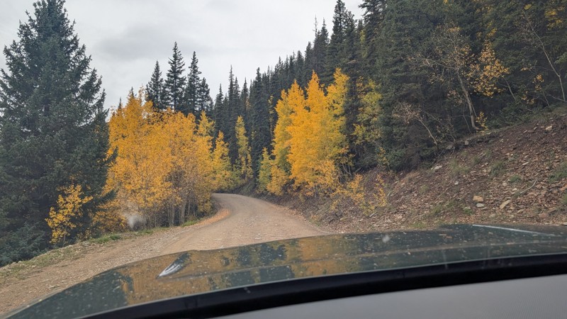
nice trail with good views. a classic in the San Juans... it's not quite as easy as 2 but not a true 3 either. Totally doable with a stock 4WD.


Mustafa ParDane
Official Crew
Rated 5/5
Open
Visited: 09/23/2026
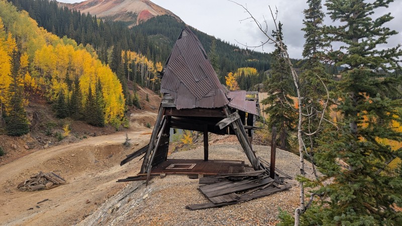
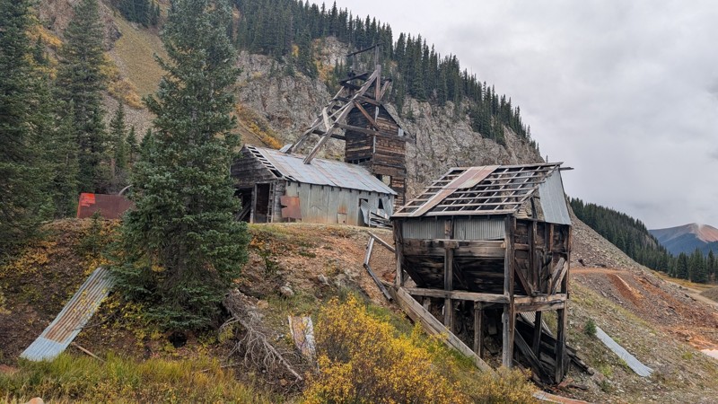
Nice fun easy trail! You will see lots of mines. I mean lots of them. If you are into it, this is the trail for you :)
Mustafa ParDane
Official Crew
Rated 5/5
Open
Visited: 09/23/2026
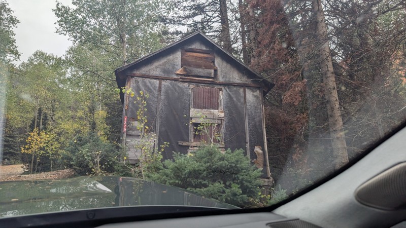
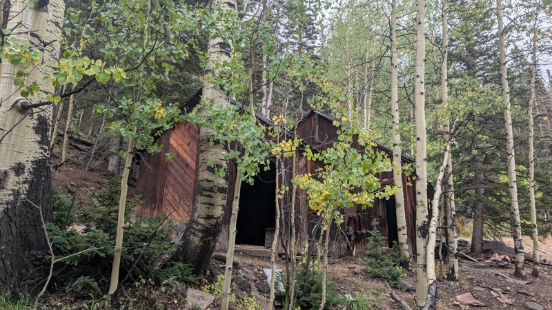
It's a steep climb all the way from the beginning to the top but there is no real obstacles. You will see some cool mines. And the views are awesome. You will see some good views of the Red Mountain p...
Mustafa ParDane
Official Crew
Rated 5/5
Open
Visited: 09/23/2026
We frequent this route probably once a week from GoG to Woodland Park. Be very careful on the blind curves - no shortage of knuckleheads driving way too fast (a biker was struck fatally in June). Us...
TC
Tim Crane
Rated 5/5
Open
Visited: 09/22/2026
Scenic road connecting to other alpine loop trails. it's not very technical or hard. but if you don't prefer shelf roads, maybe that can be considered hard. Red Mountain peaks are awesome. the scenery...

Mustafa ParDane
Official Crew
Rated 5/5
Open
Visited: 09/22/2026
Besides the shelf roads, there is not other bug obstacle or anything technical. As always, it has really good views :)


Mustafa ParDane
Official Crew
Rated 5/5
Open
Visited: 09/22/2026
Views are awesome as always with any alpine loop trails. There is a very short hike at the summit that takes you to even higher point with better views. Lake Como looks very good from there.


Mustafa ParDane
Official Crew
Rated 5/5
Open
Visited: 09/22/2026
Started from Lake City as most people recommend running the alpine loop clockwise. I think that was a wise choice because I didn't have a lot of ongoing traffic. The views are awesome and they start r...


Mustafa ParDane
Official Crew
Rated 5/5
Open
Visited: 09/22/2026
Tough trail, lots of technical spots throughout. Dont attempt solo or with any kind of stock truck!


Greg Dermann
Rated 4/5
Open
Visited: 09/22/2026
Just a dirt road with lots of potholes. Nothing technical. Drove this up to the 401 Trailhead to bike. Pretty busy with folks camping and leaf peeping. Overall it is in a pretty area and theres good c...



Davis McPherson
Rated 4/5
Open
Visited: 09/22/2026
Ok I have not run that trail in the last 4 years. I don't recall it looking like the photos. Did it recently get this way (rock garden) and get the difficult rating?
C
coyoteslocos
No Rating
Temporary Closure
Visited: 09/21/2026
Sign at the bottom of the hill says road construction but when you get to the turn off it is blocked.
PD
Paul Dixon
Rated 5/5
Open
Visited: 09/21/2026
Ran the trail from Westcliff side over the pass and into Great Sand Dunes NP. Had great weather. Don't think it had rained much in the days prior. So, the trail was dry. Think the difficulty ratin...



Stephen
Rated 5/5
Open
Visited: 09/21/2026
Id put it at a 3 some larger rocks mud and shelf roads: beautiful trail. Highly recommend.


Brian mckie
No Rating
Open
Visited: 09/21/2026
There is an area towards the end of this trail not long before it opens into the meadow that is very shaded and has become a mud hole. Well, somebody with a vehicle not capable enough to get through i...

Curt Greeley
Rated 5/5
Open
Visited: 09/20/2026
Ran this trail for the first time on 9/20/26. Absolutely stunning views and the leaves were almost at peak. This might be my new favorite trail to run during this time of year. Not difficult, but long...



Jack Mackie
Rated 4/5
Open
Visited: 09/20/2026
I wanted to run this trail on my way out from the gulches area but when I got down to the first stream crossing it had a few large logs placed in it. Im not sure if this is for traction or what, but I...
Jack Mackie
Rated 5/5
Open
Visited: 09/20/2026
First time out here and I ran this alone on 9/20/26 coming back from Old Stage 220. Took Sportsman Rd to get to 220 so I decided to take this to trail to get back to Cedar Mtn Rd. This is more fun tha...
Jack Mackie
Rated 5/5
Open
Visited: 09/20/2026
This is one of my favorite trails. I like to start at St. Mary's and run it in reverse lf this trail guide. I prefer to take most of the steep sections downhill, but if you want a fun challenge, then ...


Tim
Rated 5/5
Open
Visited: 09/20/2026
Ran this on 9-20-26 up to the Phoenix rocks. WK2 3" lift on 33's. Never been in this area before but I have read many of the reviews on here about the gulch trails. I was alone and the phoenix rocks w...

Jack Mackie
SH
Sharon Hansen
Rated 5/5
Open
Visited: 09/20/2026
Maiden voyage for my stock suspension 1994 Wrangler. The trail was surprisingly rocky in the beginning. Beautiful views and not too much traffic.
SH
Sharon Hansen
Rated 2/5
Partially Open
Visited: 09/20/2026
While there were some aspen views, this is not the best place to find them. Most of the views of the surrounding area are obscured by pine trees that are close to the road. Many of the overlooks are o...
MG
Mike Gerdts
Rated 4/5
Open
Visited: 09/20/2026
We enjoyed the trail. Beautiful scenery. Definately narrow in some areas. The terrain itself wasn't so difficult. Clearence is needed for some of the rocks in the trail.


Lisa Johnson
Rated 4/5
Open
Visited: 09/19/2026
Ran it in a 157"WB F150 on 33's, and would probably run it in a passenger car. Great views, easy climb and the switchbacks were totally navigable in a fullsize. Some of the roads on top are more app...
J
Justin
Rated 5/5
Open
Visited: 09/19/2026
The last descent at the end is kind of muddy so take it extra slow.



Joshua Scurran
Rated 5/5
Open
Visited: 09/19/2026
Ran east to west. The ascent at waypoint 14 has been cleaned up considerably - not sure if this was the work of the recovery crew we passed who were headed up Mt Baldy road, but it was much less rocky...

Jeff Dew
JG
Joseph G Botthof III
No Rating
Temporary Closure
Visited: 09/19/2026
Following up on Ryan's post, multiple incidents have occurred of vehicles sliding off the trail at washouts. CO4x4RNR was up yesterday recovering a vehicle, and we were told the trail will remain clo...

ERIC D BROWN
Rated 5/5
Open
Visited: 09/19/2026
Epic views at the top make this in and out road a must see on my list. Shelf roads with a few areas for passing. Switchbacks and 12"-18" boulders in only a few places to navigate. 4wd and good clearan...



Desi
Rated 5/5
Open
Visited: 09/19/2026
Expect closures Sept 21-24 for pipeline maintenance starting near the trestle. Perhaps related, there’s a rusty 4-6” pipe sticking out of a puddle near the trailhead at the top.
It’s been a bit rai...

MG
Mike Gerdts

Kirk Kneezle
Kirk Kneezle
Kirk Kneezle
WH
William Harkcom
Rated 5/5
Open
Visited: 09/18/2026
Great trail. Lots of fun, great views. Loved all the rock outcroppings.



Jessica H
Rated 5/5
Open
Visited: 09/18/2026
Short but fun. Right mix of technical and scenic. Ran this with Solitude Creek. Great views but that initial climb looked daunting but once you get into it wasn’t that bad.


Jessica H
No Rating
Temporary Closure
Visited: 09/18/2026
Forest Service has closed the trail due to washout damage. No ETA yet on fixes or reopening.


Ryan Boudreau
Official Crew
No Rating
Open
Visited: 09/18/2026
Only drove it to the Chinns Lake cutoff, but that part was in great condition. They've recently laid down new gravel on the lower portion in the neighborhood, it is super smooth.
S
Scott
No Rating
Open
Visited: 09/18/2026
Great condition. Only tough spot is some deep holes just before you get to the lake, otherwise it's easy. The mud holes are deeper than I remember, but it's been raining quite a bit. Lake is very, ...
S
Scott
No Rating
Open
Visited: 09/18/2026
We ran it downhill from the Miner's Gulch area. It's an easy descent thru the forest, a few rocks here and there, nothing major. Nice view of the aspens and rain clouds moving thru the area. Decent...
S
Scott
No Rating
Open
Visited: 09/18/2026
Mostly moderate, but a few spots are pretty rough with unavoidable and awkwardly placed boulders - stock vehicle are likely to hit their rocker panels. Good approach angles and rock sliders are your...
S
Scott
Rated 5/5
Open
Visited: 09/18/2026
Trail is in great condition, views from the top are magnificent.
S
Scott
Rated 4/5
Open
Visited: 09/18/2026
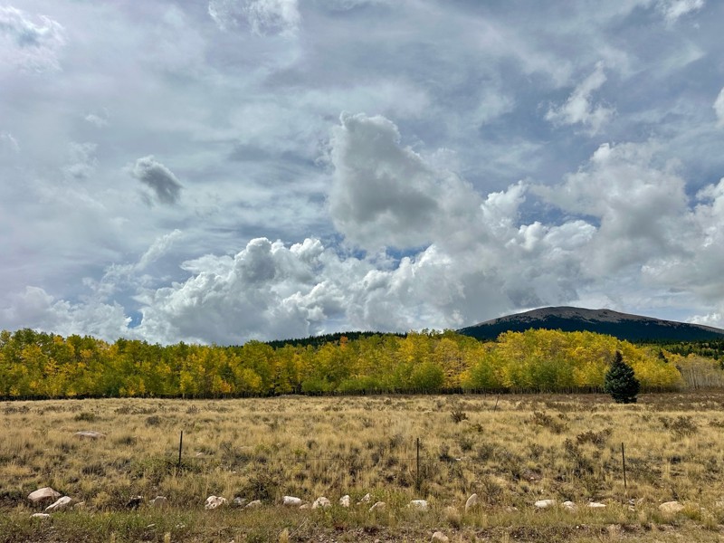
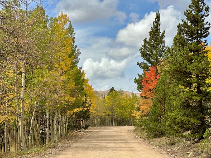
Went up for the aspens and I’d guess, for the most part, they’re maybe a few days past peak. Ran it in “reverse” starting from the east trailhead and there was still plenty of good color to see. Close...

Scott Bram
Rated 5/5
Open
Visited: 09/18/2026
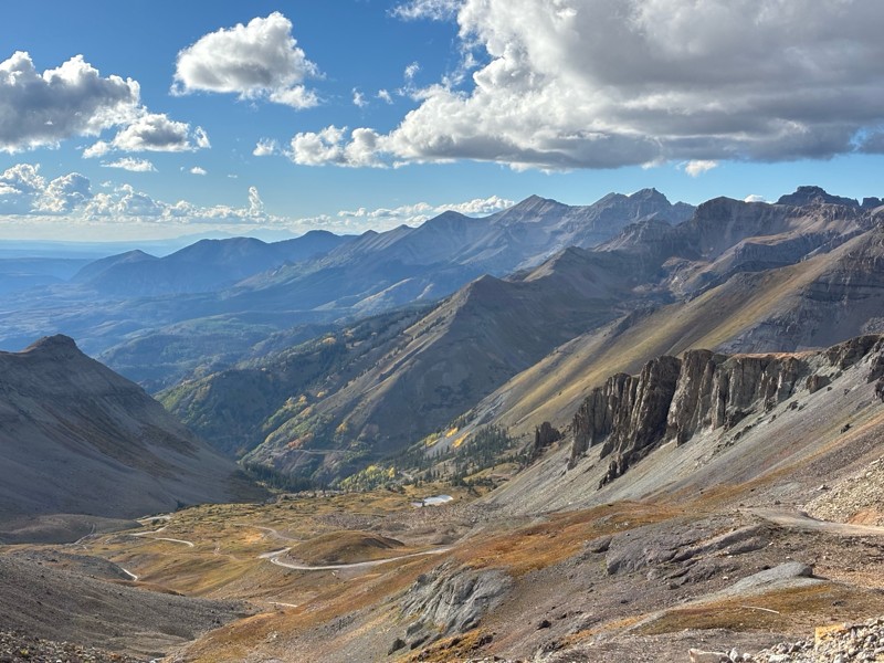
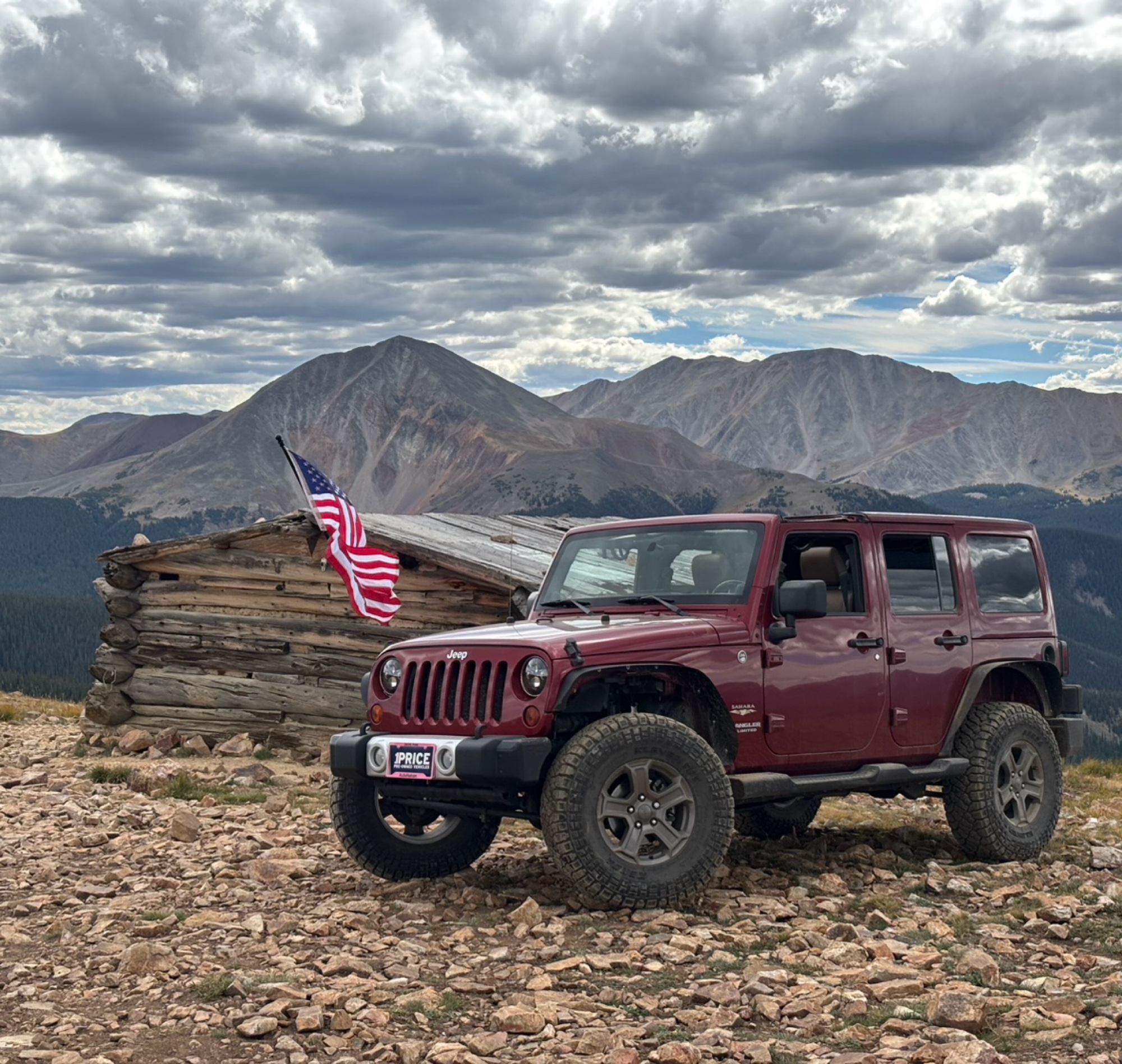
Ran the trail starting in Telluride on Friday the 18th. The trail is open the whole way through to Ouray. Very little dust thanks to all of the rain lately made our first time on Imogene very pleasant...
Matthew Stef
Rated 5/5
Open
Visited: 09/18/2026
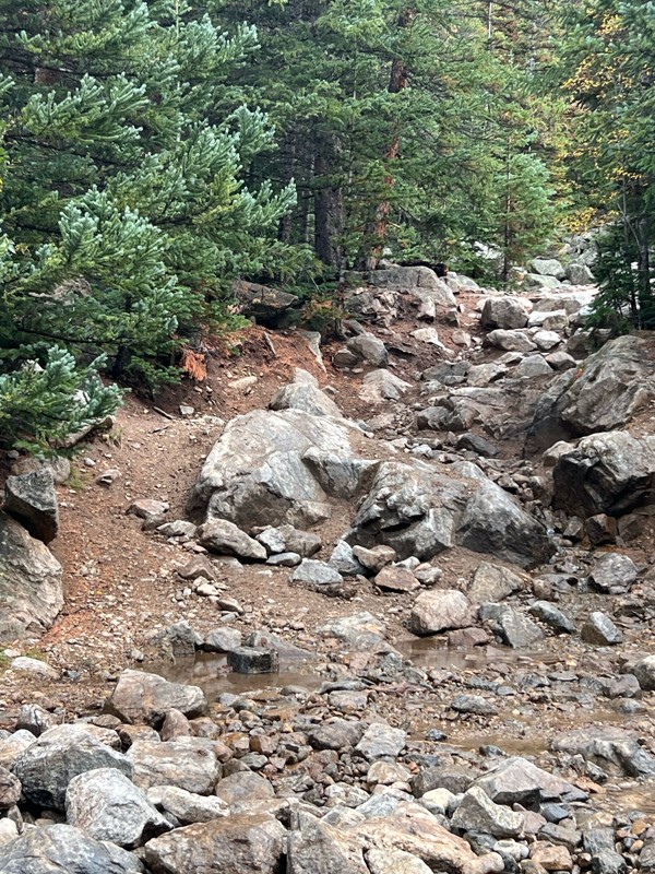
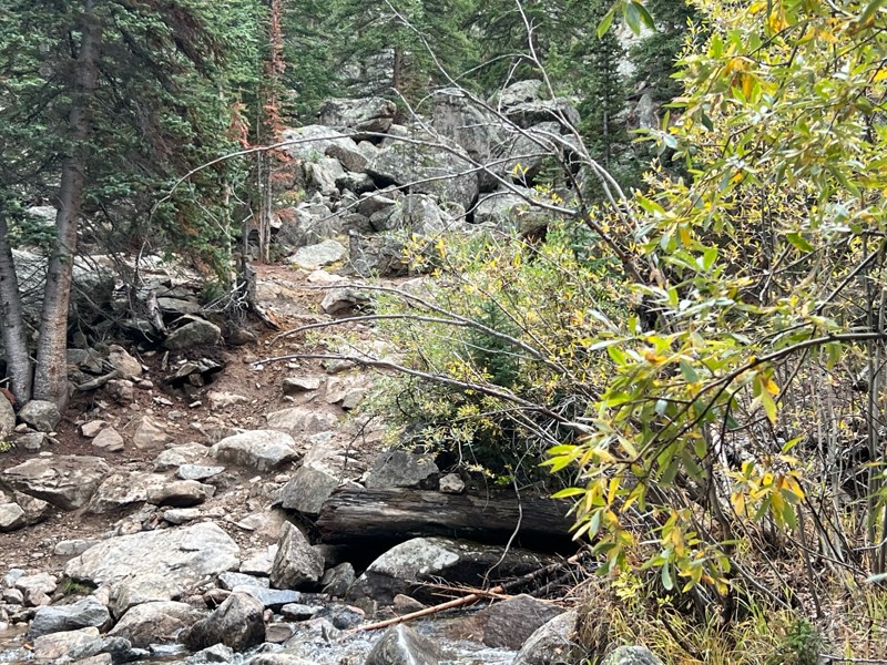
Fantastic views. Great time of the year to go - less likely to need to pass other vehicles on some steep ascents. The “gatekeeper” obstacle and narrow (no room to pass) sections are the major conside...
TK
Tarik Khatib
Rated 5/5
Open
Visited: 09/18/2026
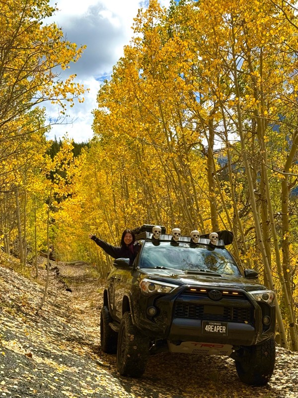
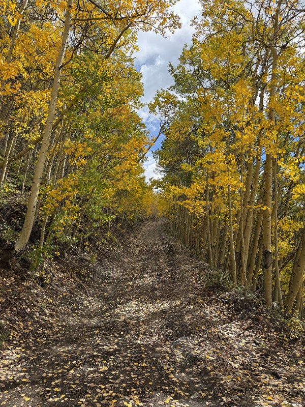
We honestly didn’t mean to take this road but ended up on this road on accident looking for a way to get from Georgia pass to Breck. The colors were amazing!! We came east to west so we were heading d...
V
Vince
Rated 5/5
Open
Visited: 09/18/2026
Beautiful trail. Fun whoops and a pretty rocky section. Would definitely recommend not taking the family sedan.
Wade Williams
Most Popular
Updated: 10/29/2023
Minnehaha Basin
Silverton, Colorado
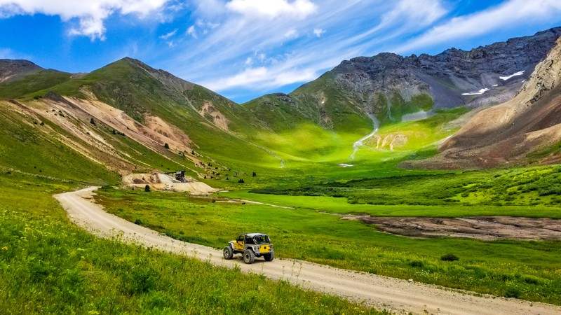
Minnehaha Basin is an extremely scenic in-and-out trail that provides epic vista views like many others in the Silverton area. Mining history along the road is very prevalent, and this is the only trail in the area that allows you to look down on the Gold King Mine, the epicenter of the 2015 EPA wastewater disaster. This road has three branches making for a fun-filled day of exploring.
Updated: 12/10/2022
Turkey Track Road
Westcreek, Colorado
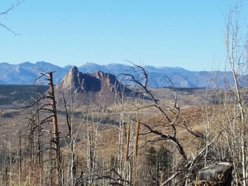
This 4x4 route winds in and out of the burn scar from the infamous Hayman Fire. The beginning of the trail provides access to a very popular, informal target shooting area and the spur along the top of the ridge features spectacular views of Pikes Peak and the burn area. There is one hill that can be mildly challenging for stock rigs but careful tire placement will get you through it. This is a more interesting route to the Rule Ridge trailhead than the standard county roads and you can combine this trail with other trails in the area to make a full day of offroad adventure.

Updated: 07/23/2024
Jones Mountain/Ptarmigan Lake
Buena Vista, Colorado
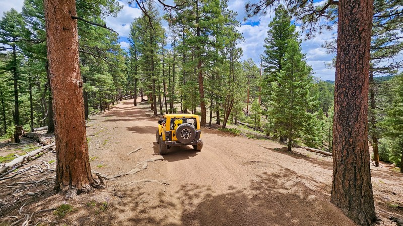
The Cottonwood Creek drainage just west of Buena Vista is an area rich with mining history, alpine lakes, wildlife and an opportunity to travel off the beaten path in Central Colorado. The Jones Mountain/Ptarmigan Lake trail offers unique access to Ptarmigan Lake from an off-road trail and the ascent up Jones Mountain will not disappoint . You will travel to 12,500' of elevation, high on the side of the mountain with incredible views from the backside of Mount Princeton and the South Cottonwood Creek valley below. Make sure to bring your fishing gear as Ptarmigan Lake is a short hike and has a good population of Native Cutthroat trout.
Updated: 07/03/2024
Missouri Gulch
Woodland Park, Colorado
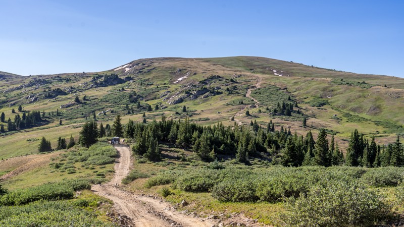
Missouri Gulch Road, part of the Rainbow Falls Trail Network, offers a charming drive with its rolling terrain and brief scenic moments. This trail is especially magical when the plentiful aspens turn golden in the fall, making it a perfect spot for leaf peeping. Enjoy a peaceful and visually rewarding journey through Colorado’s natural beauty on Missouri Gulch Road.

Updated: 03/31/2026
Richmond Hill
Ashcroft, Colorado
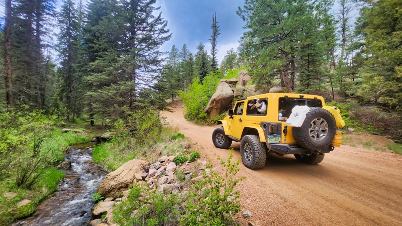
Richmond Hill is an extremely scenic road near Aspen with big mountain views and a picturesque landscape. The road is only open to highway-legal vehicles and has no seasonal closure dates, but it does become impassable due to snow. The northern half of the road traverses thick evergreen forests with rolling, bumpy, and rutty climbs that can be steep and muddy. The southern half travels mostly above treeline, topping out at 12,308 feet, with longer, steeper, and rockier terrain of grades as high as 22 degrees and rocks as large as grapefruits. The route is generally 1 to 2 vehicles wide with plenty of room to pass oncoming vehicles and no narrow shelf road sections to contend with. The bumpy terrain makes the drive slow, so expect the road to take 1 to 2 hours in one direction to complete.
Dispersed camping is thin along the route, with only around a dozen sites along the entire length. Be aware that the road crosses patches of private property where camping is never allowed.
This trail is suitable for stock high-clearance vehicles with low-range 4x4 gearing.
Updated: 04/29/2023
Manchester Road (aka Manchester Creek)
Divide, Colorado
Situated in Colorado's Pike National Forest, Manchester Creek Road showcases nature's recovery from the 2002 Hayman Burn and what the forest looked like, offering a captivating drive. Alongside the light off-roading challenges, the trail is a portal to an extensive network of off-road adventures, perfect for thrill-seekers. Its proximity to serene camping spots makes it an ideal base for an overnight wilderness experience. In short, Manchester Creek Road combines poignant history, off-roading, and camping into a unique Colorado adventure.
Updated: 04/29/2024
Two Brothers Road
Idaho Springs, Colorado
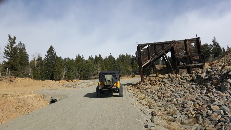
Two Brothers Road is an easy offroad trail that connects the old mountain mining towns of Idaho Springs and Central City. If you are one that shys away from the highways and would rather take the dirt roads, this is a trail you need to consider. Take a trip through history and revisit the early 1900s structures that once made up the blossoming network of mines surrounding "The Richest Square Mile on Earth".
Updated: 07/15/2026
Slide Lake
Leadville North, Colorado
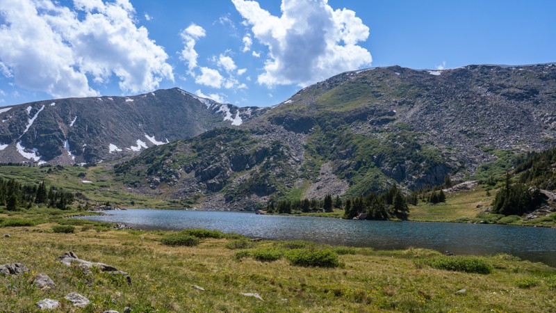
Tucked into the high country north of Leadville, Slide Lake is a quiet backcountry escape where a rough forest road winds through dense lodgepole pines, open mountain meadows, and occasional views across the surrounding peaks. The drive feels increasingly remote as it climbs toward the edge of the Holy Cross Wilderness, ending just a short hike from a secluded alpine lake beneath Homestake Peak. More peaceful than extreme, Slide Lake is memorable for its combination of rocky four-wheel-drive travel, cool mountain solitude, and the promise of a beautiful lake waiting just beyond the end of the road.
Updated: 06/27/2024
Mount Zion
Leadville, Colorado
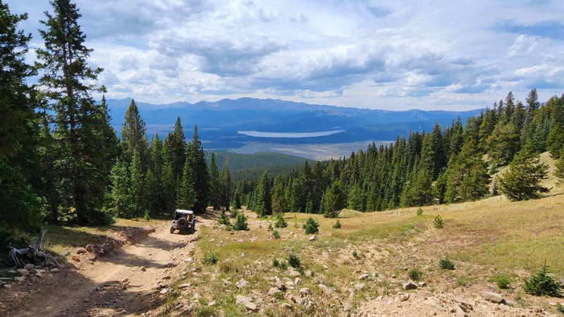
Located only minutes from downtown Leadville, Mount Zion is a scenic, high-alpine trail providing incredible views of the nearby towering mountains. This off-road trail is a great half-day adventure providing viewpoints that cannot be seen by any other trail in the area. Several campsites and good cellular service make this a popular location for mountain boondocking.
Updated: 07/20/2024
Teller Divide
Walden, Colorado
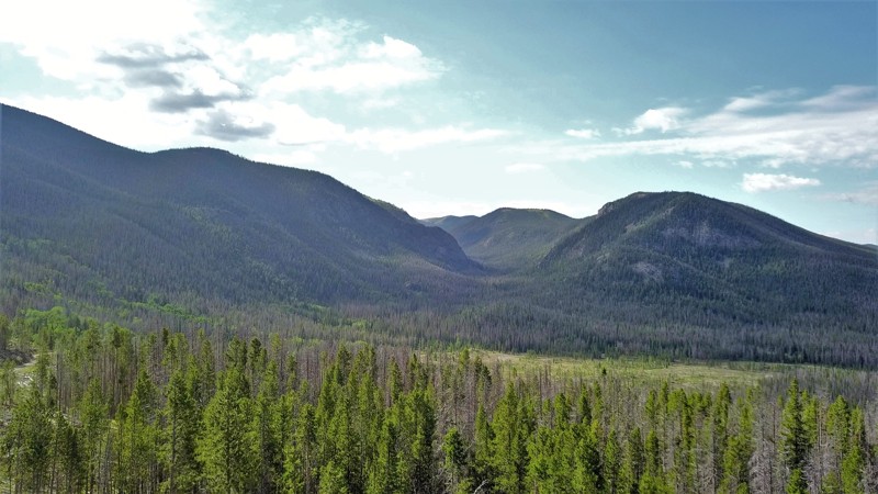
Teller Divide, named for its proximity to the Colorado ghost town Teller City, meanders through the Routt National Forest on the western edge of the Rocky Mountain National Park. After crossing Calamity Pass, Teller Divide offers spectacular views of the Jack Creek basin and the Teller City valley. Heavy snow during the fall, winter and spring seasons allows for limited access to this part of the forest. Teller Divide is very popular with snowmobiles during the winter snow season. Other popular four-wheel drive out-and-back routes begin along Teller Divide and offer the only access to the edge of the Never Summer Wilderness.
Updated: 03/24/2026
Cunningham Gulch
Silverton, Colorado
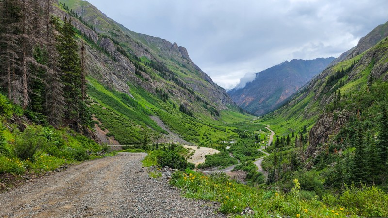
Only 10 minutes from Silverton, Cunningham Gulch is a popular camping, hiking, and fishing trail that follows Cunningham Creek past many old mines and mill sites, including the Highland Mary Mill, and cascading waterfalls to the bottom of Spencer Basin. This trail offers stunning high-alpine valley views and is rich in mining history. This fantastic backcountry trail is one of the quickest ways to access the Continental Divide Trail and incredible fishing at Highland Mary Lakes.
Updated: 06/15/2026
Rainbow Lakes Road
Ward, Colorado
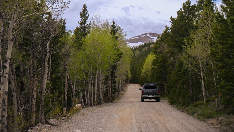
Rainbow Lakes Road is an easy, bumpy dirt road that is generally used as a connector to or from Caribou Creek. This road accesses the Rainbow Lakes Campground and the Rainbow Lakes Trailhead, which serves several different hiking trails. The road is two vehicles wide throughout the entire drive. Rainbow Lakes Road offers no camping other than the heavily used first-come campground at the end.
Updated: 06/22/2024
Quarry Road
Woodland Park, Colorado
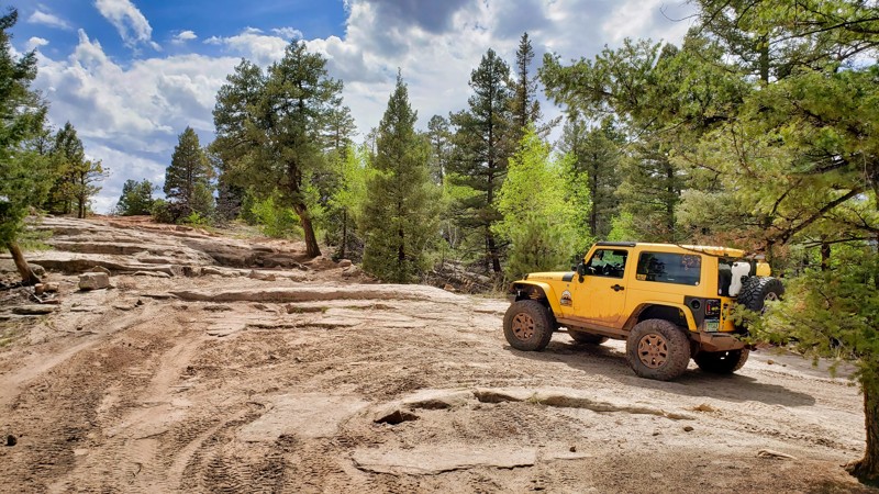
Quarry Road is a hidden treasure in the Rainbow Falls Trail Network near Woodland Park, Colorado. It's a moderate trail with a significant long rock climb challenge. This climb tests new and experienced drivers, but it's easier than the nearby Mini-Moab on Flake Road. Once you conquer the climb, you're rewarded with a nice drive through the Colorado forest with scenic views of the Front Range and Pikes Peak. With challenges and beauty, Quarry Road is a must-visit for off-roaders.
Updated: 06/07/2024
Beaver Creek
Grant, Colorado
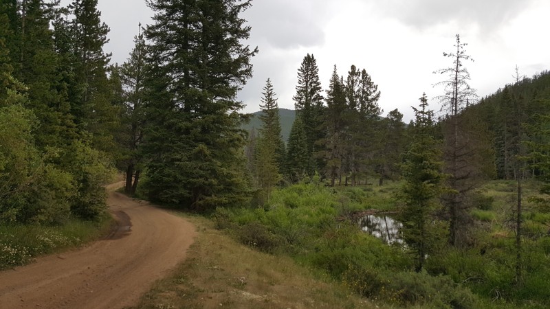
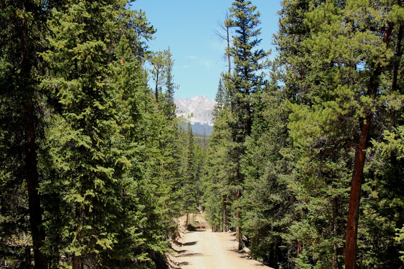
This is an easy trail for drivers of all kinds who’d like a nice drive in the woods. Off of Hall Valley Road, Beaver Creek offers a little challenge for stock vehicles and some amazing views of the forest throughout including Beaver Creek and its natural dams, and connects to the network of trails in the Jefferson Lake area.
If you would like to run Webster Pass (FS 285.181) and/or Red Cone (FS 565), then this is a an alternaitve place to camp though can be very busy with small vehicle traffic.
Updated: 07/15/2024
Galena Gulch
Breckenridge, Colorado
Galena Gulch is a short, relatively easy 4WD trail through dense woods with some loose, rocky climbs.
It is part of the Golden Horseshoe trail system which covers over 8000 acres between the Swan River and French Gulch. The area has a rich history and is dotted with countless mines, mills, and cabins dating from the late 1870s through the 1950s.
The Golden Horseshoe is crisscrossed with 4WD, ATV, single track, mountain bike, and foot trails. Keep a sharp eye out for other folks using this network and, as always, be considerate. Stay the trail, and pack out what you packed in.
It is vital that all visitors respect historic sites. Please leave them as you found them. Decades of tourists taking home bits of these historic buildings as mementos or carving their autographs have destroyed much of our history. Many historic sites are in a dangerous state of decay. Never enter or climb on historic ruins. It could damage the site, or worse, damage you!
Updated: 11/27/2023
Pass Creek Pass
La Veta, Colorado
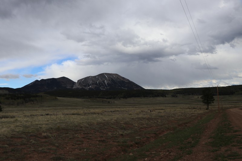
Pass Creek Pass is a useful route that allows one to save time traveling from one side of the Sangre De Cristo mountains to the other. Using this route saves about 30 minutes and around 32 miles from Hermit Pass to the Blanca Peak trailhead by not going through Walsenburg. Pass Creek Pass is as beautiful as it is useful. It is a great route for photography and scenic views of mountain ranges and rock formations. Make sure to pay attention to private property signs as they are on both sides of the road for almost the entire route; this does not hinder any of the scenic views. Some other sights include geology, old structures, and the town of Malachite that you pass through on the northern side.
Updated: 05/01/2024
Coal Canyon
Palisade, Colorado
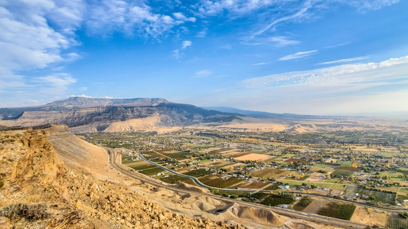
Coal Canyon is a one of a kind trail that takes you to an incredible viewpoint on the very edge of the Bookcliffs high above the town of Palisade, Colorado. With several different routes and viewpoints, you will be at a loss for words at the picturesque views of the Grand Valley. Don't forget to check out the many different coal seams paralleling your route through the wash on your way up to the Bookcliff edge. Several side trails can be explored and offer plenty of recreation opportunities including hiking, mountain biking, and horseback riding. This trail is located in the southern portion of the Little Bookcliffs Wild Horse Area, and it is not uncommon to see wild horses roaming around. This trail is ideal for any 4wd vehicle in dry conditions but can become extremely treacherous and impassible when wet. This trail is seasonally closed each winter to protect wildlife.
Updated: 06/21/2024
Phantom Road (AKA Phantom Creek)
Divide, Colorado
Phantom Road meanders through the lush forests and rolling hills of the Rocky Mountains, presenting an awe-inspiring backdrop of Pikes Peak and the expansive valleys below. The route is a harmonious blend of tranquility and adventure, with peaceful woodland stretches interrupted by the excitement of navigating whoop-de-dos and ruts that demand a driver's attention. Seeing areas recovering from past wildfires adds a sobering yet inspiring element, highlighting nature's resilience and cyclical renewal. As a relatively accessible trail with varying features, Phantom Road is the perfect playground for newcomers seeking their first off-road adventure and experienced drivers yearning for a scenic and engaging drive.
Updated: 07/21/2026
Mt. Lincoln
Alma, Colorado
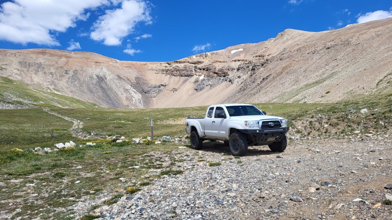
Where else can a stock truck take you above 13,000 feet in under an hour, into a granite amphitheater surrounded on three sides by 1,000-foot walls? Nestled between Mount Lincoln, Mount Cameron, and Mount Bross, the Mount Lincoln 4WD trail once served the rich mining operations that tunneled deep into these three 14ers. Today, it offers a short, easy drive with extraordinary high-alpine views.
Updated: 04/29/2026
Historic Waldorf Wagon Road
Silver Plume, Colorado
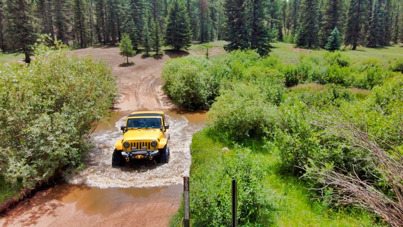
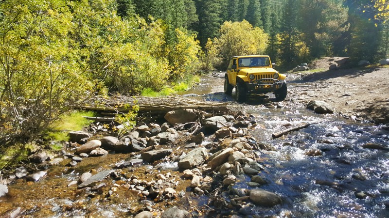
Historic Waldorf Wagon Road, off Leavenworth Creek Road, offers a distinctive off-roading experience in Colorado's lush wilderness. Its claim to fame comes in two major water crossings, an exciting feature that's a rarity in Colorado's trail network. As you navigate these aquatic challenges, you're enveloped by dense forests, creating a stimulating and soothing environment. This trail is not just a joyride but a trip down memory lane, carrying the legacy of its wagon road history and adding a fascinating historical dimension to your adventure. With its blend of natural allure, water-based excitement, and historical charm, Waldorf Wagon Road ensures a unique and unforgettable journey.
Updated: 09/23/2025
Brown's Pass
Fairplay, Colorado
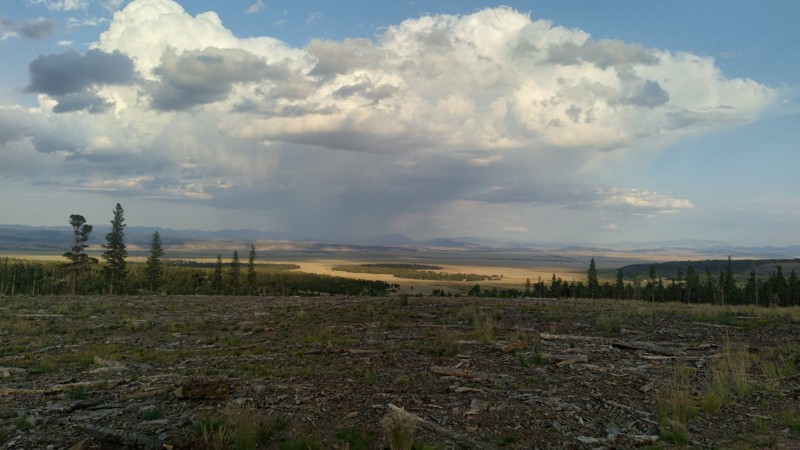
Brown’s Pass is situated in the Pike/San Isabel National Forest a few miles south of Fairplay, Colorado. This area of South Park is remote and far less traveled than other passes, making it a desirable destination for weekend overland exploration. Brown’s Pass features moderate climbs and descents, with several connected roads providing spectacular views. Brown's Pass closes seasonally each year from January 1st to June 15th.
Updated: 03/10/2025
Platte River Road
Twin Cedars, Colorado
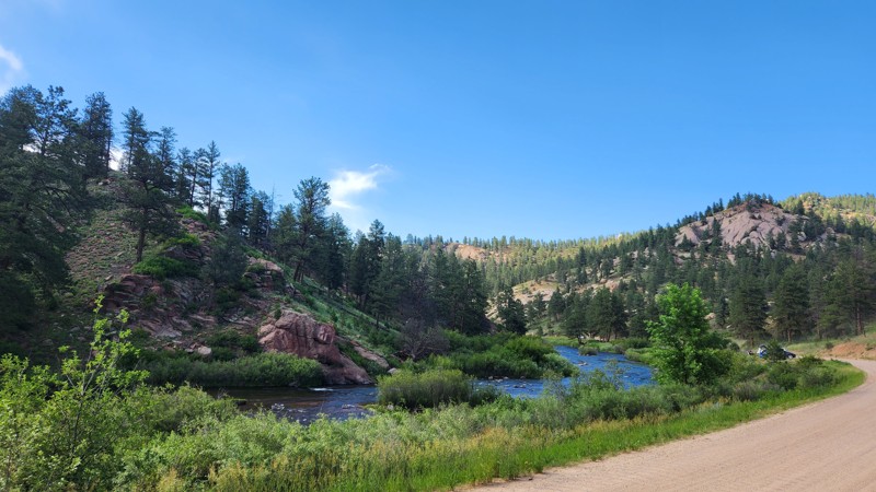
Platte River Road is located to the west of the popular Rampart Range trail system and travels along a beautiful section of the South Platte River ending near Buffalo Creek, CO. This portion of the Platte River Road is used primarily for traveling, and there aren’t very many areas to park or pull-off. You can swim and fish in this area, but you have to get there early to grab one of the few parking spots available on this section of the road. North Platte River Road is a primarily graded dirt road with a few narrow sections, only big enough for one vehicle at a time.
The southernmost portion of this road connects directly to South Platte River Road, which takes you deeper into Pike National Forest and connects you to a plethora of hiking/biking trails, campsites, fishing spots, offroad trails, and even canoe trail systems.
There aren't any camping sites on this road, but you can find plenty in the surrounding areas.
Updated: 09/29/2025
Pingree Park Road
Rustic, Colorado
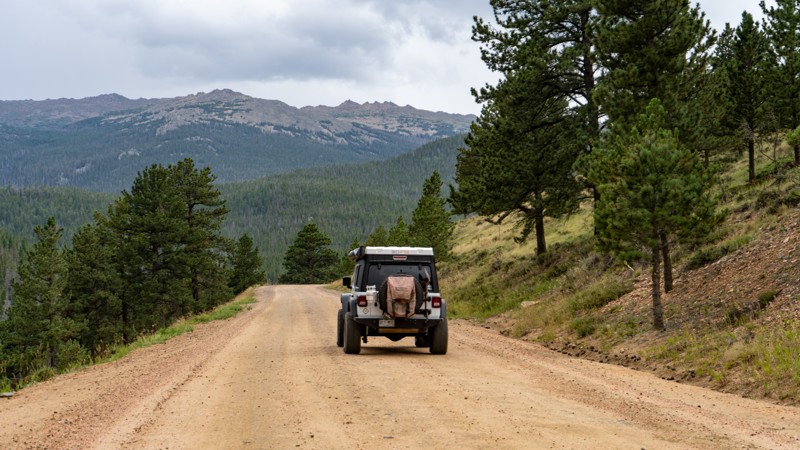
Located just off of Poudre Canyon Road, Pingree Park is a maintained dirt road that connects Highway 14 to the Colorado State University Mountain Campus. This dirt road provides year-round access to the Roosevelt National Forest with its many dispersed camping and hiking opportunities. Use this road to connect a few of the more famous 4WD trails in the area, such as Crown Point Road and Old Flowers Road. And don't forget the hike up to the B-17 Plane Crash!
Updated: 07/21/2026
Prospect Hill Road
Breckenridge, Colorado
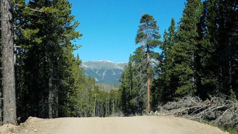
Prospect Hill Road is an easy 4WD trail that runs along the southern edge of the Golden Horseshoe. This scenic trail offers some great views of Breckenridge across the valley as well as some great historic mining sites and cabins. Prospect Hill's eastern trailhead is in Lincoln Park Meadow, the hub of the Golden Horseshoe, thus connecting to several other trails and offering some epic camping. It is part of the Golden Horseshoe trail system which covers over 8000 acres between the Swan River and French Gulch. The area has a rich history and is dotted with countless mines, mills, and cabins dating from the late 1870s through the 1950s.

Upgrade your Membership
Unlock all of the details on every Trail Guide and Scout Route.
Start a 7-day Free TrialBrowse Trails in Colorado by City
Browse every Colorado city with offroad trail guides.
Community
Partners

