













By clicking "ACCEPT", you agree to be the terms and conditions of each policy linked to above. You also agree to the storing of cookies on your device to facilitate the operation and functionality of our site, enhance and customize your user experience, and to analyze how our site is used.
Colorado Off-Road Trails
602
Total Trail Guides 575

6450
Detailed Waypoints 568
Try a Free 7-Day Trial and unlock it all
Start a Free Trial Most Recent Trail Reviews
Rated 5/5
Open
Visited: 09/23/2026
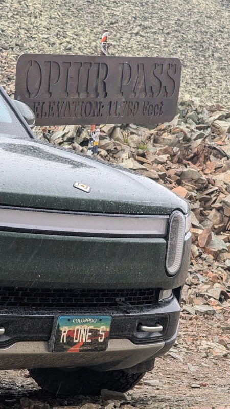
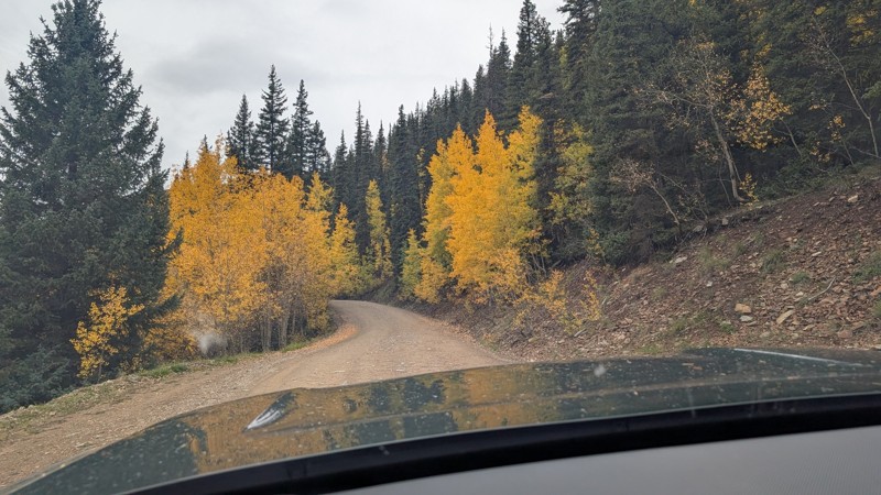
nice trail with good views. a classic in the San Juans... it's not quite as easy as 2 but not a true 3 either. Totally doable with a stock 4WD.


Mustafa ParDane
Official Crew
Rated 5/5
Open
Visited: 09/23/2026
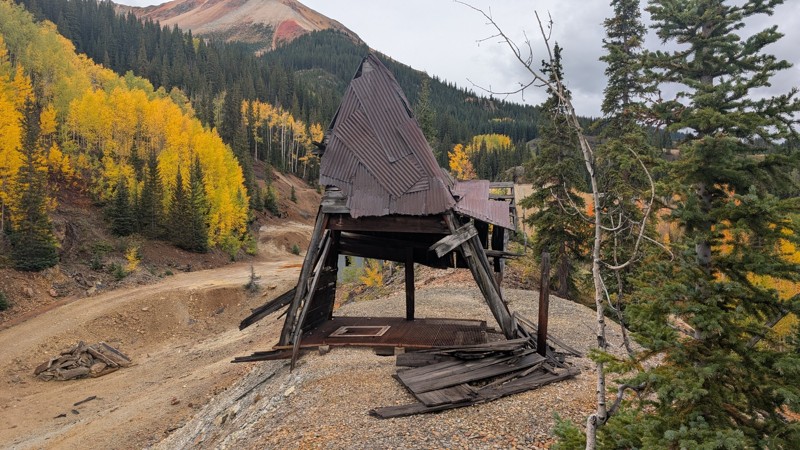
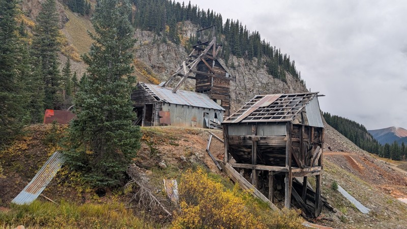
Nice fun easy trail! You will see lots of mines. I mean lots of them. If you are into it, this is the trail for you :)
Mustafa ParDane
Official Crew
Rated 5/5
Open
Visited: 09/23/2026
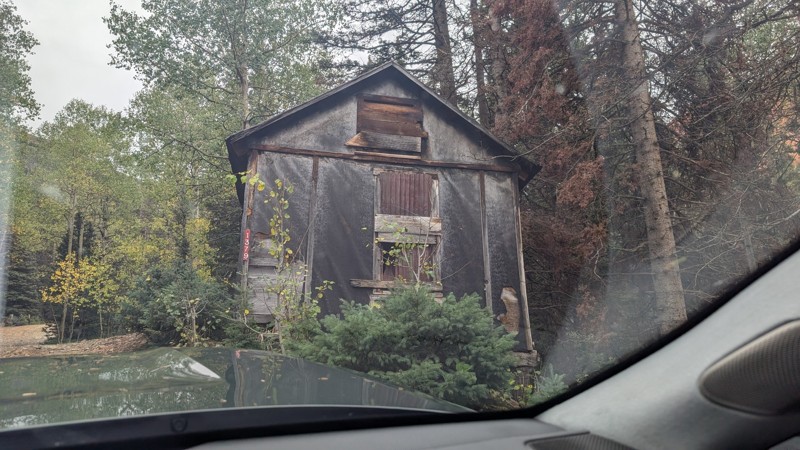
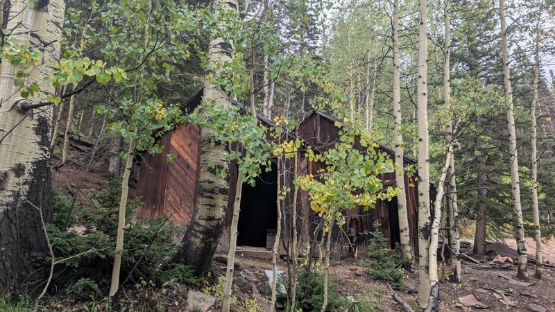
It's a steep climb all the way from the beginning to the top but there is no real obstacles. You will see some cool mines. And the views are awesome. You will see some good views of the Red Mountain p...
Mustafa ParDane
Official Crew
Rated 5/5
Open
Visited: 09/23/2026
We frequent this route probably once a week from GoG to Woodland Park. Be very careful on the blind curves - no shortage of knuckleheads driving way too fast (a biker was struck fatally in June). Us...
TC
Tim Crane
Rated 5/5
Open
Visited: 09/22/2026
Scenic road connecting to other alpine loop trails. it's not very technical or hard. but if you don't prefer shelf roads, maybe that can be considered hard. Red Mountain peaks are awesome. the scenery...

Mustafa ParDane
Official Crew
Rated 5/5
Open
Visited: 09/22/2026
Besides the shelf roads, there is not other bug obstacle or anything technical. As always, it has really good views :)


Mustafa ParDane
Official Crew
Rated 5/5
Open
Visited: 09/22/2026
Views are awesome as always with any alpine loop trails. There is a very short hike at the summit that takes you to even higher point with better views. Lake Como looks very good from there.


Mustafa ParDane
Official Crew
Rated 5/5
Open
Visited: 09/22/2026
Started from Lake City as most people recommend running the alpine loop clockwise. I think that was a wise choice because I didn't have a lot of ongoing traffic. The views are awesome and they start r...


Mustafa ParDane
Official Crew
Rated 5/5
Open
Visited: 09/22/2026
Tough trail, lots of technical spots throughout. Dont attempt solo or with any kind of stock truck!


Greg Dermann
Rated 4/5
Open
Visited: 09/22/2026
Just a dirt road with lots of potholes. Nothing technical. Drove this up to the 401 Trailhead to bike. Pretty busy with folks camping and leaf peeping. Overall it is in a pretty area and theres good c...



Davis McPherson
Rated 4/5
Open
Visited: 09/22/2026
Ok I have not run that trail in the last 4 years. I don't recall it looking like the photos. Did it recently get this way (rock garden) and get the difficult rating?
C
coyoteslocos
No Rating
Temporary Closure
Visited: 09/21/2026
Sign at the bottom of the hill says road construction but when you get to the turn off it is blocked.
PD
Paul Dixon
Rated 5/5
Open
Visited: 09/21/2026
Ran the trail from Westcliff side over the pass and into Great Sand Dunes NP. Had great weather. Don't think it had rained much in the days prior. So, the trail was dry. Think the difficulty ratin...



Stephen
Rated 5/5
Open
Visited: 09/21/2026
Id put it at a 3 some larger rocks mud and shelf roads: beautiful trail. Highly recommend.


Brian mckie
No Rating
Open
Visited: 09/21/2026
There is an area towards the end of this trail not long before it opens into the meadow that is very shaded and has become a mud hole. Well, somebody with a vehicle not capable enough to get through i...

Curt Greeley
Rated 5/5
Open
Visited: 09/20/2026
Ran this trail for the first time on 9/20/26. Absolutely stunning views and the leaves were almost at peak. This might be my new favorite trail to run during this time of year. Not difficult, but long...



Jack Mackie
Rated 4/5
Open
Visited: 09/20/2026
I wanted to run this trail on my way out from the gulches area but when I got down to the first stream crossing it had a few large logs placed in it. Im not sure if this is for traction or what, but I...
Jack Mackie
Rated 5/5
Open
Visited: 09/20/2026
First time out here and I ran this alone on 9/20/26 coming back from Old Stage 220. Took Sportsman Rd to get to 220 so I decided to take this to trail to get back to Cedar Mtn Rd. This is more fun tha...
Jack Mackie
Rated 5/5
Open
Visited: 09/20/2026
This is one of my favorite trails. I like to start at St. Mary's and run it in reverse lf this trail guide. I prefer to take most of the steep sections downhill, but if you want a fun challenge, then ...


Tim
Rated 5/5
Open
Visited: 09/20/2026
Ran this on 9-20-26 up to the Phoenix rocks. WK2 3" lift on 33's. Never been in this area before but I have read many of the reviews on here about the gulch trails. I was alone and the phoenix rocks w...

Jack Mackie
SH
Sharon Hansen
Rated 5/5
Open
Visited: 09/20/2026
Maiden voyage for my stock suspension 1994 Wrangler. The trail was surprisingly rocky in the beginning. Beautiful views and not too much traffic.
SH
Sharon Hansen
Rated 2/5
Partially Open
Visited: 09/20/2026
While there were some aspen views, this is not the best place to find them. Most of the views of the surrounding area are obscured by pine trees that are close to the road. Many of the overlooks are o...
MG
Mike Gerdts
Rated 4/5
Open
Visited: 09/20/2026
We enjoyed the trail. Beautiful scenery. Definately narrow in some areas. The terrain itself wasn't so difficult. Clearence is needed for some of the rocks in the trail.


Lisa Johnson
Rated 4/5
Open
Visited: 09/19/2026
Ran it in a 157"WB F150 on 33's, and would probably run it in a passenger car. Great views, easy climb and the switchbacks were totally navigable in a fullsize. Some of the roads on top are more app...
J
Justin
Rated 5/5
Open
Visited: 09/19/2026
The last descent at the end is kind of muddy so take it extra slow.



Joshua Scurran
Rated 5/5
Open
Visited: 09/19/2026
Ran east to west. The ascent at waypoint 14 has been cleaned up considerably - not sure if this was the work of the recovery crew we passed who were headed up Mt Baldy road, but it was much less rocky...

Jeff Dew
JG
Joseph G Botthof III
No Rating
Temporary Closure
Visited: 09/19/2026
Following up on Ryan's post, multiple incidents have occurred of vehicles sliding off the trail at washouts. CO4x4RNR was up yesterday recovering a vehicle, and we were told the trail will remain clo...

ERIC D BROWN
Rated 5/5
Open
Visited: 09/19/2026
Epic views at the top make this in and out road a must see on my list. Shelf roads with a few areas for passing. Switchbacks and 12"-18" boulders in only a few places to navigate. 4wd and good clearan...



Desi
Rated 5/5
Open
Visited: 09/19/2026
Expect closures Sept 21-24 for pipeline maintenance starting near the trestle. Perhaps related, there’s a rusty 4-6” pipe sticking out of a puddle near the trailhead at the top.
It’s been a bit rai...

MG
Mike Gerdts

Kirk Kneezle
Kirk Kneezle
Kirk Kneezle
WH
William Harkcom
Rated 5/5
Open
Visited: 09/18/2026
Great trail. Lots of fun, great views. Loved all the rock outcroppings.



Jessica H
Rated 5/5
Open
Visited: 09/18/2026
Short but fun. Right mix of technical and scenic. Ran this with Solitude Creek. Great views but that initial climb looked daunting but once you get into it wasn’t that bad.


Jessica H
No Rating
Temporary Closure
Visited: 09/18/2026
Forest Service has closed the trail due to washout damage. No ETA yet on fixes or reopening.


Ryan Boudreau
Official Crew
No Rating
Open
Visited: 09/18/2026
Only drove it to the Chinns Lake cutoff, but that part was in great condition. They've recently laid down new gravel on the lower portion in the neighborhood, it is super smooth.
S
Scott
No Rating
Open
Visited: 09/18/2026
Great condition. Only tough spot is some deep holes just before you get to the lake, otherwise it's easy. The mud holes are deeper than I remember, but it's been raining quite a bit. Lake is very, ...
S
Scott
No Rating
Open
Visited: 09/18/2026
We ran it downhill from the Miner's Gulch area. It's an easy descent thru the forest, a few rocks here and there, nothing major. Nice view of the aspens and rain clouds moving thru the area. Decent...
S
Scott
No Rating
Open
Visited: 09/18/2026
Mostly moderate, but a few spots are pretty rough with unavoidable and awkwardly placed boulders - stock vehicle are likely to hit their rocker panels. Good approach angles and rock sliders are your...
S
Scott
Rated 5/5
Open
Visited: 09/18/2026
Trail is in great condition, views from the top are magnificent.
S
Scott
Rated 4/5
Open
Visited: 09/18/2026
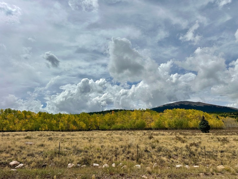
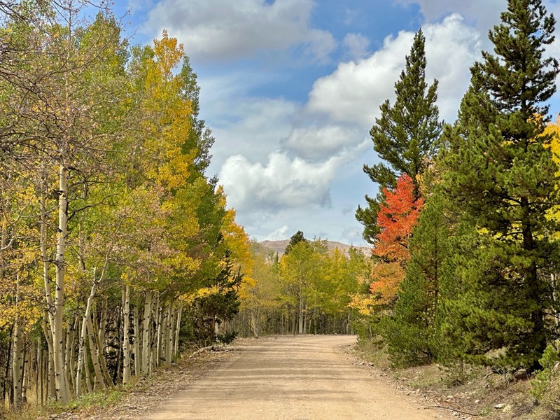
Went up for the aspens and I’d guess, for the most part, they’re maybe a few days past peak. Ran it in “reverse” starting from the east trailhead and there was still plenty of good color to see. Close...

Scott Bram
Rated 5/5
Open
Visited: 09/18/2026
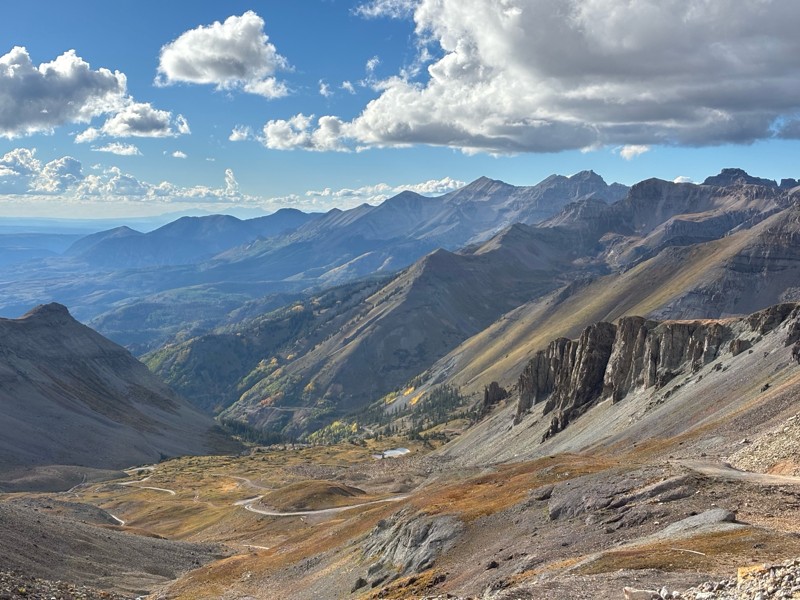
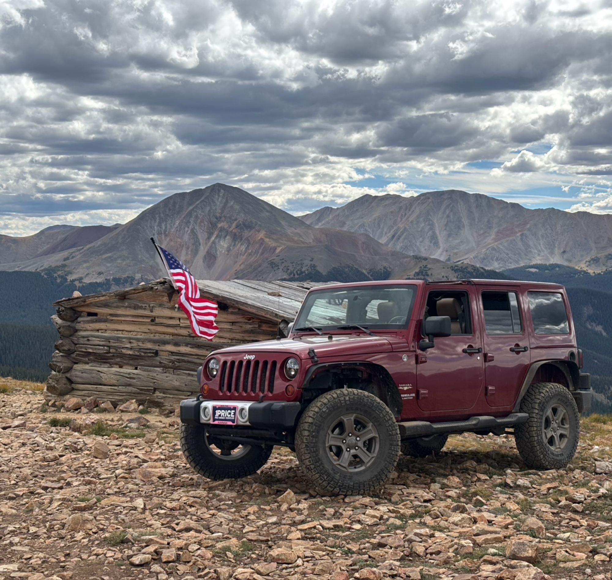
Ran the trail starting in Telluride on Friday the 18th. The trail is open the whole way through to Ouray. Very little dust thanks to all of the rain lately made our first time on Imogene very pleasant...
Matthew Stef
Rated 5/5
Open
Visited: 09/18/2026
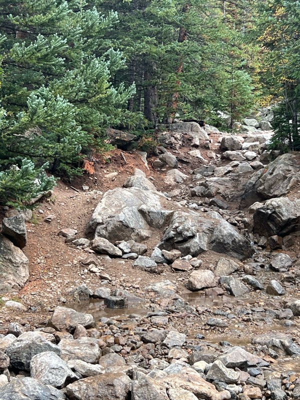
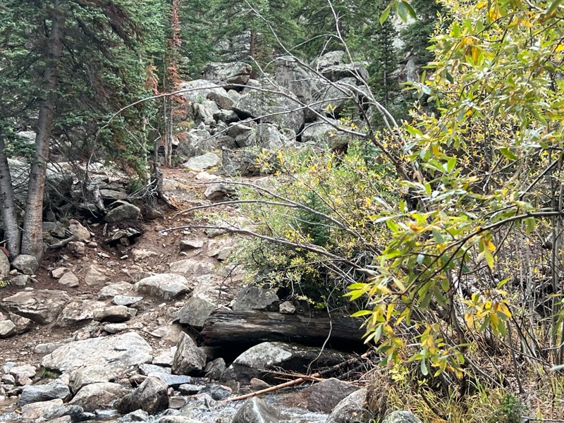
Fantastic views. Great time of the year to go - less likely to need to pass other vehicles on some steep ascents. The “gatekeeper” obstacle and narrow (no room to pass) sections are the major conside...
TK
Tarik Khatib
Rated 5/5
Open
Visited: 09/18/2026
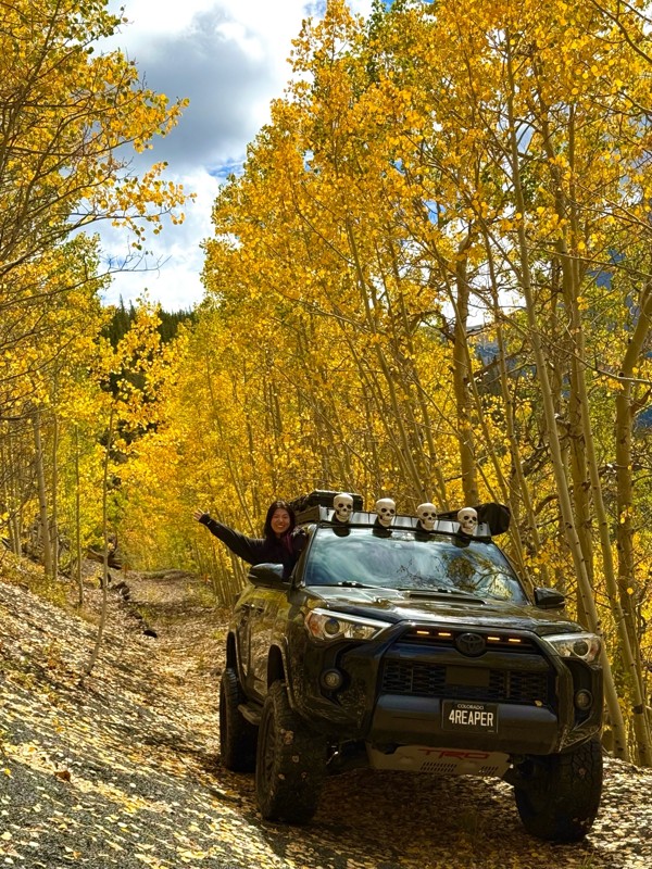
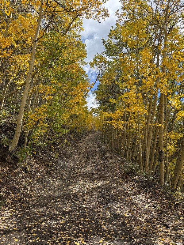
We honestly didn’t mean to take this road but ended up on this road on accident looking for a way to get from Georgia pass to Breck. The colors were amazing!! We came east to west so we were heading d...
V
Vince
Rated 5/5
Open
Visited: 09/18/2026
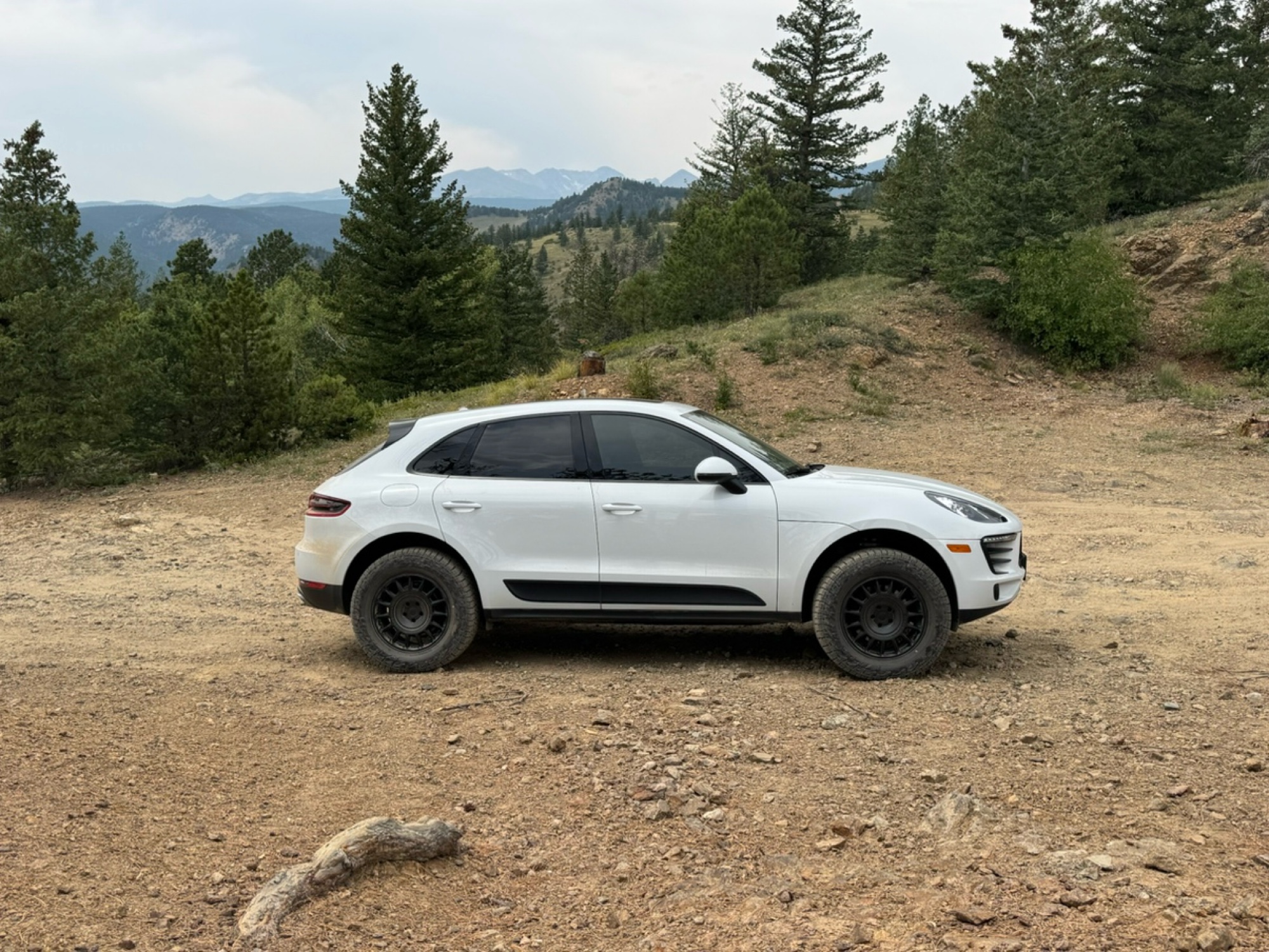
Beautiful trail. Fun whoops and a pretty rocky section. Would definitely recommend not taking the family sedan.
Wade Williams
Most Popular
Updated: 06/09/2024
Inspiration Point
Gold Hill, Colorado
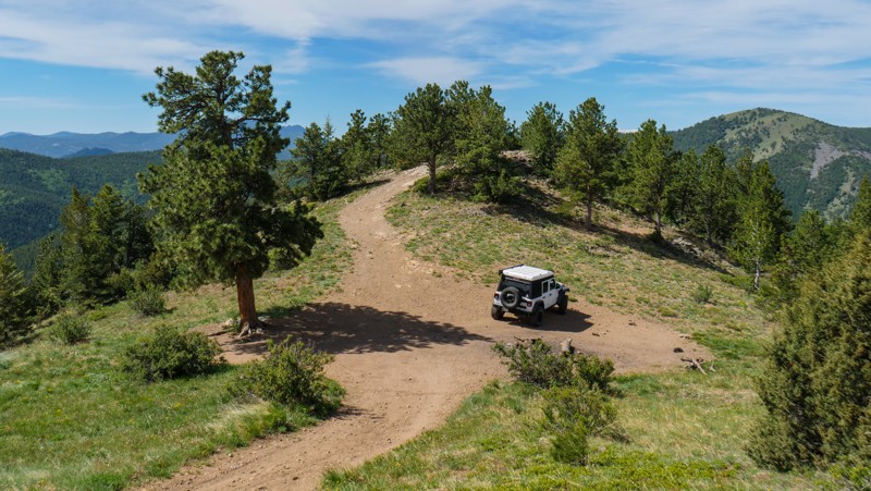
Located just west of the town of Gold Hill is a short, often bypassed hidden gem that offers astonishing views in all directions. Inspiration Point is a great trail for those looking for abundant dispersed camping options and views that will leave you far beyond inspired.
Following an old Native American trail up Four Mile Creek, gold was discovered in this area in early 1859. The Gold Run Stream was said to have yielded $100,000 in gold during the first year. In March 1859, the area became the first mining district organized in the Nebraska Territory and was named “Mountain District No. 1 at Nebraska”, commonly known as Gold Hill. The area still supports a small population but with very few amenities, still holding that old west mining town feel.
Updated: 09/23/2025
Bassam Park
Antero Junction, Colorado
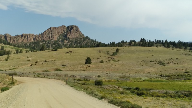
Bassam Park Road, FS Road 187, is located within the San Isabel National Forest, approximately ten miles east of Johnson Village. This area of the National Forest, commonly called "Fourmile" or "the Casles", contains dozens of roads and spurs supporting a broad spectrum of outdoor recreational opportunities. Bassam Park is noted for its high buttes and volcanic stone towers ("castles"), spring-fed creeks, and numerous beaver dam ponds. It is popular among OHV users, mountain bikers, hikers, and equestrians. The area includes maintained dirt roads suitable for stock vehicles (it is not uncommon to see ordinary passenger sedans and minivans on some trails) and more difficult 4WD roads. The greatest attractions in this area are accessibility, a wide variety of outdoor activities, and expansive views of the Collegiate Peaks and the Arkansas River valley.

Updated: 08/11/2026
Boulder Wagon Road
Winter Park, Colorado
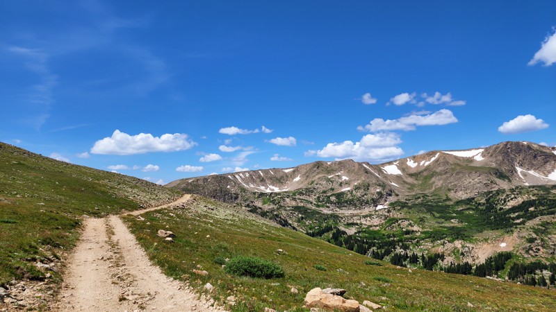
Boulder Wagon Road once connected the west and east ends of Rollins Pass, passing through the Needle's Eye Tunnel. The tunnel was closed in the 90s due to an accident, thus leaving this road as nothing more than a narrow, rocky, and rough dead-end spur. After leaving Corona Pass (Rollins Pass West), the road traverses 1.5 miles along a steep slope above the old railroad grade, providing limited oncoming sight and very few pull-off options. After reaching a large turnaround spot, the road turns and continues a short distance before coming to an abrupt end at the road closure barrier. It is highly advised to use the large turnaround as the end of the trail provides no way to turn around, and vehicles will have to back up a significant distance. From this road, you can still hike to the popular Needle's Eye Tunnel and the Devil's Slide Trestles.
Updated: 12/17/2024
Independence Trail
Penrose, Colorado
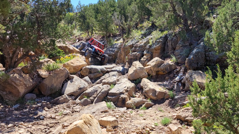
Located less than an hour from Colorado Springs and Pueblo, Independence Trail travels through a skinny canyon filled with massive drops and giant boulders. Part of a small rock trail system renowned as one of the most challenging rock-crawling destinations in Colorado, this trail was developed for the hardcore and the fearless. Though short in length, it’s packed with adrenaline-pumping obstacles that will test your skill and nerve. Navigating this trail requires precision and care to avoid damaging your vehicle, making every moment a high-stakes thrill.
Updated: 10/29/2023
Mogul Mine
Silverton, Colorado
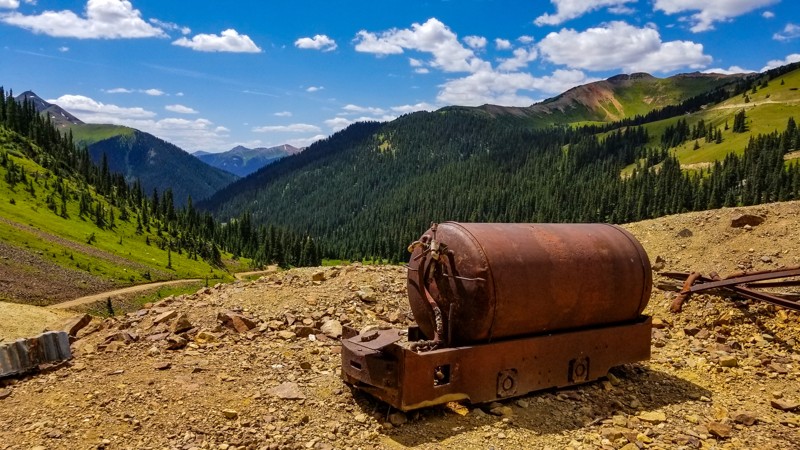
Hidden in plain sight and rarely visited, the Mogul Mine is an incredibly scenic backcountry road in one of the most popular areas of Colorado. Overshadowed by the more popular Corkscrew Pass and Hurricane Pass It follows the eastern side of Cement Creek from the Gladstone area, up towards Ross Basin. The Mogul Mine was known for silver, gold, and lead. The structures of the mine are slowly returning to the earth, but equipment remains to be seen for curios and history buffs.
Updated: 04/20/2024
Fremont County Road 69- Seep Springs OHV Connector
Cañon City, Colorado
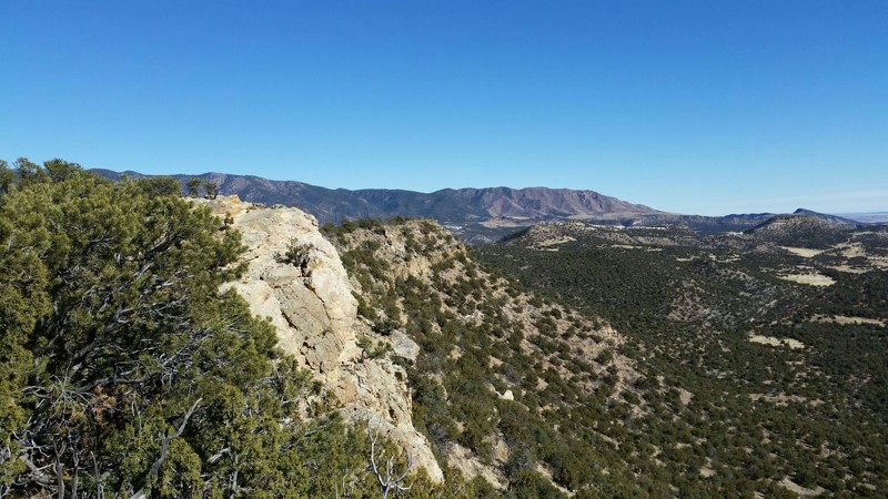
Fremont County Road 69 is an entry point to Seep Springs OHV Area, which is the destination you want to get to. Seep Springs OHV Area is a true off road jewel of Fremont County. This area offers many different pastimes from camping, to hiking, to even fossil hunting! This area is rich with fossil discoveries culminating in the nearby discovery of a complete Stegosaurus skeleton. Seep Springs OHV Area offers a vast network of established BLM roads and trails that are perfect for visitors to drive and explore or find that perfect little secluded camping spot while still keeping civilization within a short drive. The high desert nature of this area combined with the low levels of snowfall makes this area perfect for year round adventures.
Updated: 07/23/2024
Hope Gulch
Buena Vista, Colorado
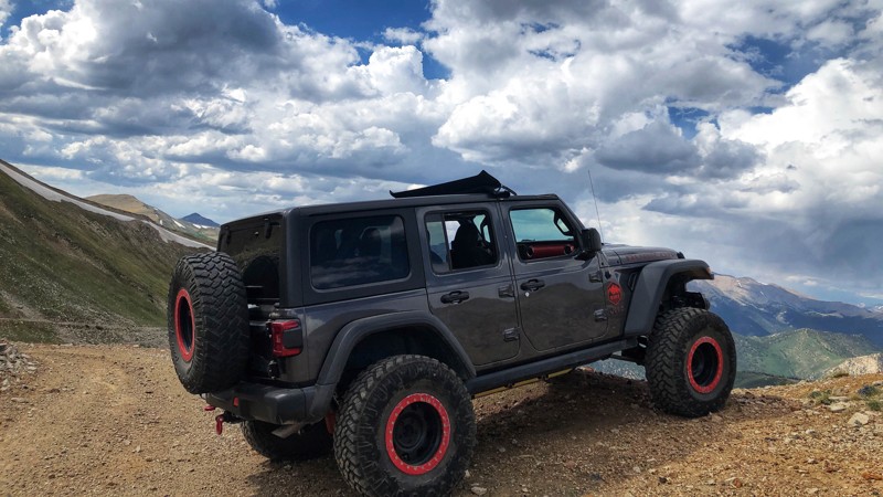
The Hope Gulch Trail is a lightly used, 5-mile side trip off the Mineral Basin Trail. The road climbs out of the South Cottonwood Valley and ends on a ridge high above treeline with magnificent views of Mount Antero (14,275') to the south and Mount Yale (14,199') to the north. You can also look down into the Chalk Creek Valley and the South Cottonwood Valley from this ridgeline.
Updated: 06/25/2024
Warden Gulch
Keystone, Colorado
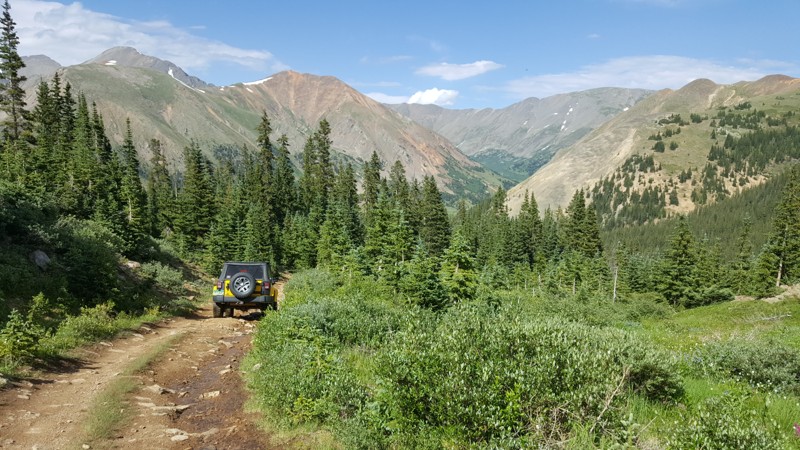
Warden Gulch is one of the trails in the area that leads to that was once part of the mining district here. The mine is long tapped of gold and more and is now just unused, the path remains open for recreation. The trail is directly off of the Peru Creek trail and is popular to combine with Chihuahua Gulch (FS 263) for a full day of wheeling.
You will climb up Morgan Peak towards the old Allan Emory Mine, last operated in 1950. While the trail ends well before the mine per the MVUM, the scenery available on this trail is well worth running as far as you can go. The climb is a fun off-road run and when you turn around, the scenery on the way down will make you want to stop for pictures.
Updated: 06/25/2024
Maggie Gulch
Silverton, Colorado
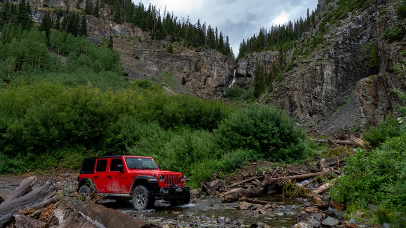
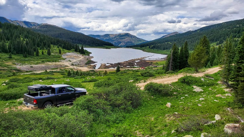
Maggie Gulch is a relatively short dead-end trail with very similar scenery and mining history to the area's larger, more well-known trails. Being a dead-end trail, Maggie Gulch does not share the tourist traffic of those other trails. This creates a relaxing journey.
The imposing 13,278-foot Mount Galena looms overhead to the south. Snow is often present late into the summer and never fully melts in a few areas. Maggie Gulch ends at the well-preserved Intersection Mill. Built in the late 1890s, the Intersection Mill is one of the few in the San Juan mountains with its stamps still standing. The boiler and winches can also be seen. Many of the mills in this area were stripped of their iron workings during a scrap metal boom around World War 2. Finding a mill with these workings still intact is truly a unique sight.
Updated: 11/23/2023
Ivanhoe Lake
Basalt, Colorado
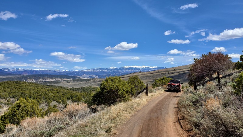
Located in the Sawatch Range east of Basalt, Colorado, Ivanhoe Lake is an easy trail that welcomes all outdoor enthusiasts. Whether you are a fisherman, a hiker, a camper, a 4wheeler, a backcountry skier, or a history buff, this off-road trail will delight you with its beauty and hidden secrets. Ivanhoe Lake might be the first and the biggest feature along the trail, but there is much more beyond the lake. Great secluded camping, meadows filled with wildflowers, and mountain backdrops that you will want to use as your screensaver, await you throughout the entire trail.
Updated: 06/20/2024
Dotsero Crater
Dotsero, Colorado
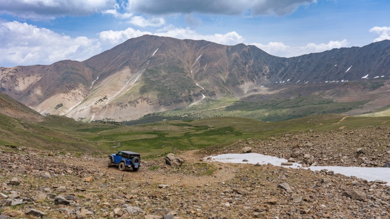
Considered the last remaining active volcano in Colorado, Dotsero Crater is a unique drive that you cannot experience anywhere else in the state. Located just west of Eagle, before entering the beautiful Glenwood Canyon, Dotsero last erupted around 4,200 years ago. Although extremely small in comparison to other volcanos, this relatively easy drive takes you over former lava flows, past large volcanic boulders, and up to scenic vistas with views of several nearby mountain ranges. This trail is the perfect early season opportunity as it sees relatively small amounts of snow and dries out rather quickly.
Updated: 09/03/2025
South Halfmoon aka Iron Mike Mine
Leadville, Colorado
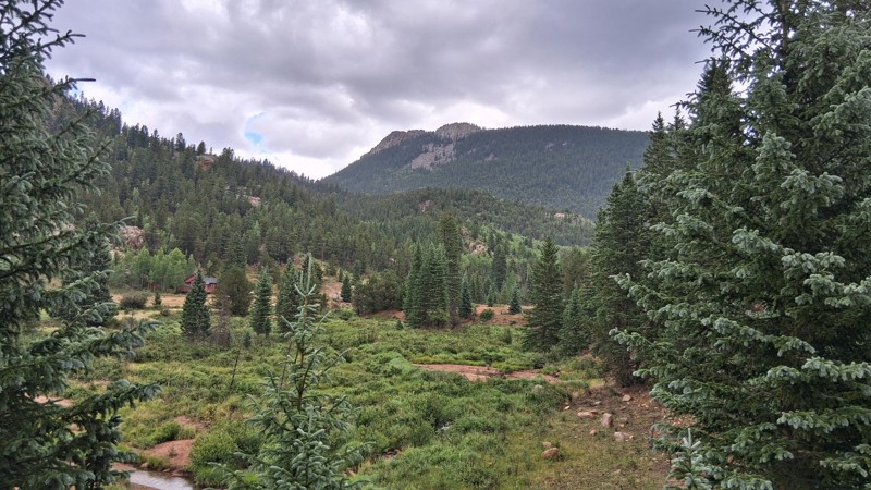
South Halfmoon Creek, also known as Iron Mike Mine, is a must-do trail known for its natural beauty and technical driving demands. It is located southwest of Leadville and follows the namesake tributary of the Arkansas River. Trekking along the western shadow of Colorado's tallest peak, Mount Elbert, you will encounter several water crossings, steep climbs, narrow paths, continuous rocky terrain, and one major rock obstacle that takes its job as the gatekeeper seriously. The breathtaking scenery at the end of this trail takes work and is a hard-earned reward.
Updated: 07/28/2026
Seven Lakes
Goldfield, Colorado
Branching off from the well-traveled Gold Camp Road, Seven Lakes serves as a scenic three-mile connector to Bull Park and Frosty Park. Panoramic views and plentiful campsites amid dense forest are a bonus. While other, more difficult nearby roads capture the spotlight, Seven Lakes awaits your return, offering scenic beauty, a peaceful creek, and campsites suited to solo adventurers or an overland-style crew.
Updated: 06/15/2024
Beaver Creek
Hot Sulphur Springs, Colorado
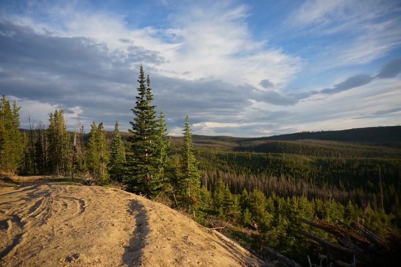
Beaver Creek is another access trail to Keyser Creek Trail that would be easily traveled by most vehicles. It is a double-wide trail for most of the length and climbs in elevation providing a panoramic view to the west. There are multiple spur roads off of Beaver Creek which offer dispersed campsites. The panoramic views and aspen forests would be amazing during the fall when the leaves change colors.
At the intersection with Keyser Creek Trail, there are large group campsites straight ahead and to the west. Rocky Point Trail is a short jaunt to your east, while Little Muddy Creek and Cook Creek Rim are to the west.
Updated: 06/08/2024
Nevadaville Road
Central City, Colorado
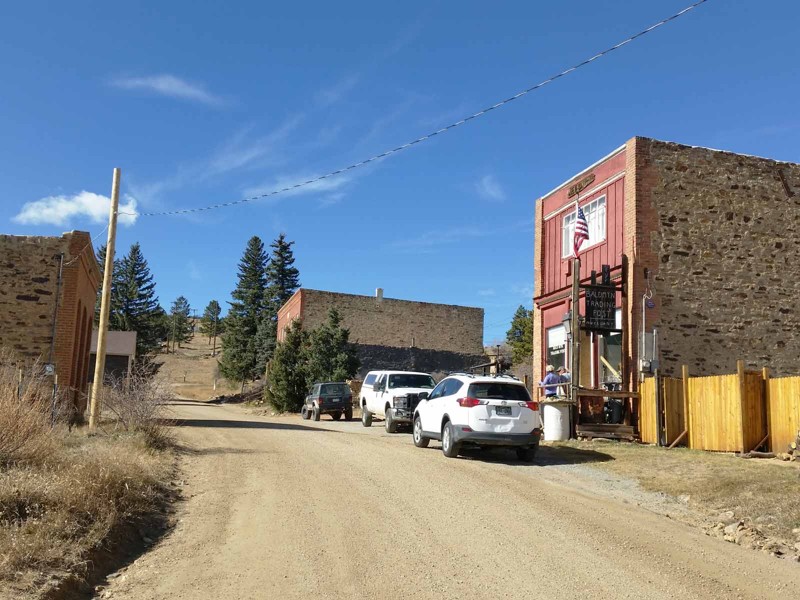
Nevadaville Road passes through the old town of Nevadaville and past the remains of around 20 mines, some of which are fairly well preserved. In addition to the ghost town and mining ruins, Nevadaville Road provides a peaceful, scenic drive and an alternate connection into the Yankee Hill network of 4x4 trails.
Updated: 06/21/2024
Hell Creek Spur Road
Woodland Park, Colorado
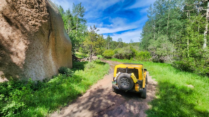
Located just a few minutes from Woodland Park, CO, Hell Creek Spur Road is a rugged, rock-laden trail that presents a scenic yet challenging offroad adventure. This trail winds through stands of mature aspen trees, transforming into an arresting spectacle of golden hues in the fall. An established campsite awaits at the trail's end, boasting fantastic views of the Air Force Academy and the stunning area below just through the trees. Despite its rough terrain, the payoff in serene camping and natural beauty makes Hell Creek Spur Road a compelling destination for more adventurous wheelers.
Updated: 07/08/2024
Rat Creek Road
Creede, Colorado
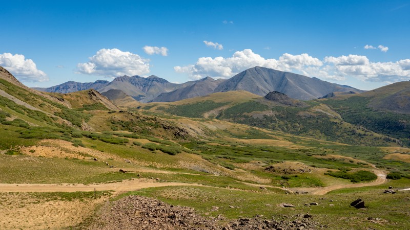
Rat Creek is a breathtaking side loop off of the popular and iconic Bachelor Loop Historic Driving Tour in a lesser-known area of the scenic San Juan Mountains. This rough offroad trail begins at the headwaters of Willow Creek, gives panoramic views of the Continental Divide, and passes through lush meadows and dense forest as it snakes its way down a long valley back to Bachelor Road. If you are seeking a more exciting route in the Creede area but also want to experience the Bachelor Loop, this side spur is the trail for you.
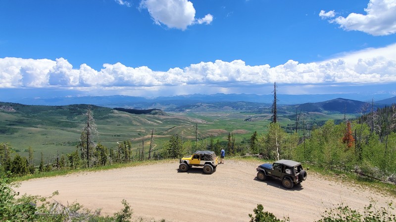
Updated: 06/17/2024
Big Meadows
Hot Sulphur Springs, Colorado
Beginning in the Hot Sulphur Springs State Wildlife Area and traveling through the Arapahoe National Forest, Big Meadows lives up to its name by providing riders with spectacular views of big valleys, open meadows, and enormous mountains far in the distance. Located just southwest of Granby, Colorado, you can find plenty of camping options along this road, whether you are looking for seclusion in the trees or unobstructed views for miles. Several large, mature Aspen groves are sure to leave you speechless in the fall. The colors will only improve as younger aspens begin to take over the pine beetle-ravaged forest in the coming years.
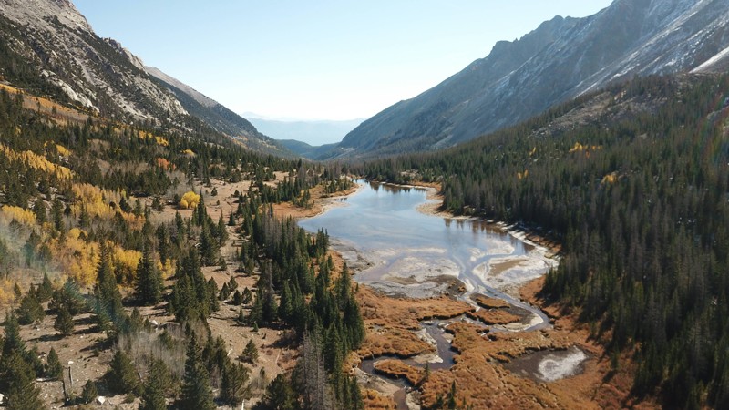
Updated: 07/23/2024
Browns Lake
Buena Vista, Colorado
The Browns Lake Trail is part of the greater Mount Antero Trail System. This out-and-back side trip features a fun drive into the Browns Creek Valley between Mt. White (13,667') and Mt Shavano (14,231'). The trail ends at a large beaver pond called Browns Lake. Many times this lake is massive in size if beaver activity in the area is high. Browns Lake offers fishing and hiking options at the end of the trail.
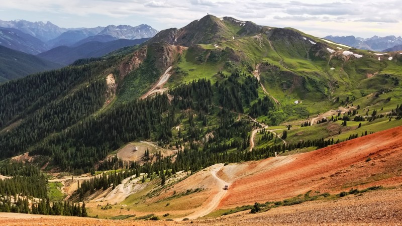
Updated: 10/29/2023
Prospect Gulch
Silverton, Colorado
The San Juan mining district produced over $65 million in ores between 1882 and 1918. The hills surrounding Silverton are dotted with hundreds of mines created by prospectors hunting for their fortunes. Prospector Gulch is a hard reminder of the difficulties miners faced. A plethora of mining operations scatter the landscape here with tailings galore, abandoned equipment, and buildings left only to rot in the harsh environment. With serene beauty and spectacular views, it's a surprise this trail is not more widely used.
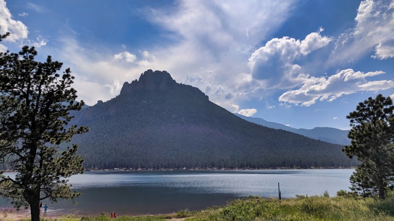
Updated: 06/22/2024
Wellington Lake
Bailey, Colorado
Within Pike National Forest, Wellington Lake Road provides a scenic drive through classic Colorado woodlands, leading you to the stunning Wellington Lake. This 167-acre private lake is highlighted by its iconic rock formation, "The Castle," a captivating focal point. Though the lake is private, a range of outdoor activities are accessible for a fee, including camping, fishing, and paddleboarding. This charming trail offers more than a drive through the forest—it's an idyllic retreat featuring a landmark that never fails to impress. Don't miss this must-see trail when exploring the Pike National Forest.
Updated: 07/14/2024
Bald Mountain Lane - Arapaho National Forest
Central City, Colorado
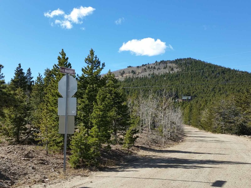
Located in the hills just west of Central City, Bald Mountain Lane is one of the primary access points into the Yankee Hill network of 4x4 trails. Originally constructed as a supply road to the outlying mines in the area, it connects the county roads above Central City to the east end of Yankee Hill. In addition, Bald Mountain Lane passes the interesting and historical Bald Mountain Cemetery and is a beautiful drive through the forest.
Updated: 07/07/2024
Montezuma Basin
Aspen, Colorado
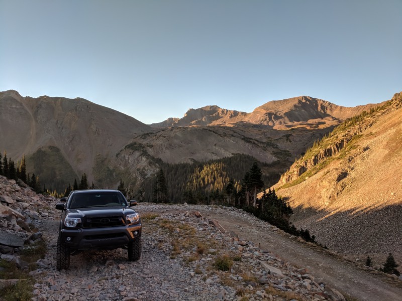
Montezuma Basin Road is just south of Aspen in the White River National Forest. The road starts at Waypoint 6 of the legendary Pearl Pass and takes you up to 12,800 feet, near the base of Castle Peak, which is Colorado's ninth tallest 14er (14,279 ft). The road was used as mining access to Montezuma Mine, which operated from 1879 to 1960. It also operated off and on as a ski resort from 1967-1977 with one snowfield and a tow rope.
This road isn't necessarily difficult, but you must be fearless as the road is comprised of many long, exposed segments of shelf road, with some of it being off-camber, which could send you tumbling down very steep, rocky slopes. From the base of Castle Peak, you can begin to hike this 14er. Make sure you take in all the amazing views of the area and imagine what it would be like to live here year-round in the early 1900s! As with other mines, please look but don't touch. Preserve this history for generations to come.
Updated: 08/25/2026
The Wall - Poughkeepsie Gulch
Ironton, Colorado
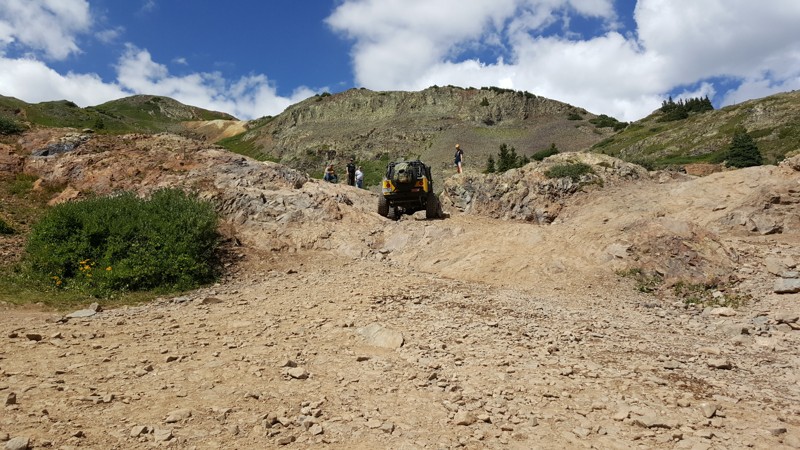
This optional obstacle off of Poughkeepsie Gulch is an absolute backbreaker. Ill-equipped vehicles are often forced to winch or stack rocks to conquer this brutal rock wall. The multiple lines across the face require good suspension articulation. This obstacle can be impossible in wet conditions. Several winch anchors are scattered along the top for those requiring a little help. With a large parking area at the base, this is an excellent opportunity to snag lunch and watch vehicles take on different lines.

Upgrade your Membership
Unlock all of the details on every Trail Guide and Scout Route.
Start a 7-day Free TrialBrowse Trails in Colorado by City
Browse every Colorado city with offroad trail guides.
Community
Partners

