













By clicking "ACCEPT", you agree to be the terms and conditions of each policy linked to above. You also agree to the storing of cookies on your device to facilitate the operation and functionality of our site, enhance and customize your user experience, and to analyze how our site is used.
Colorado Off-Road Trails
602
Total Trail Guides 575

6450
Detailed Waypoints 568
Try a Free 7-Day Trial and unlock it all
Start a Free Trial Most Recent Trail Reviews
Rated 5/5
Open
Visited: 09/23/2026
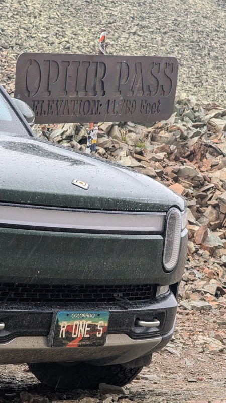
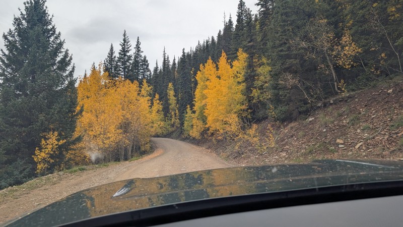
nice trail with good views. a classic in the San Juans... it's not quite as easy as 2 but not a true 3 either. Totally doable with a stock 4WD.


Mustafa ParDane
Official Crew
Rated 5/5
Open
Visited: 09/23/2026
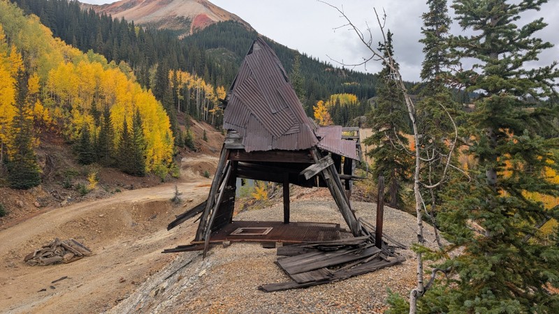
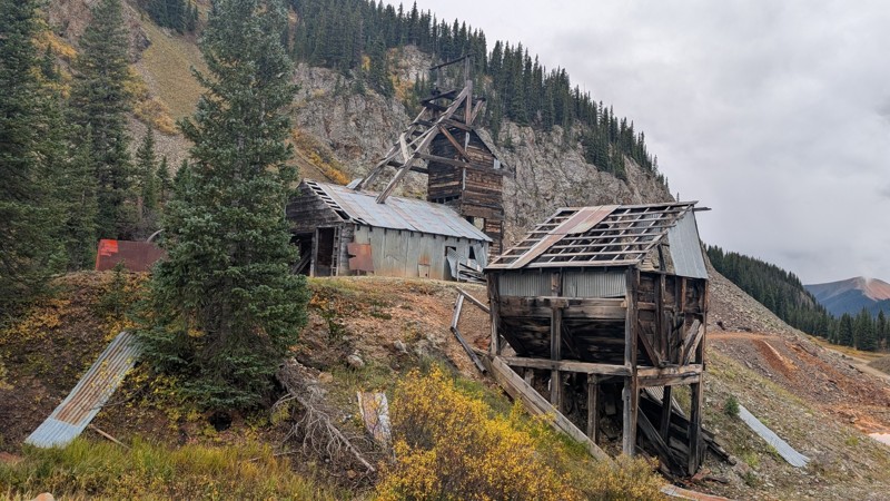
Nice fun easy trail! You will see lots of mines. I mean lots of them. If you are into it, this is the trail for you :)
Mustafa ParDane
Official Crew
Rated 5/5
Open
Visited: 09/23/2026
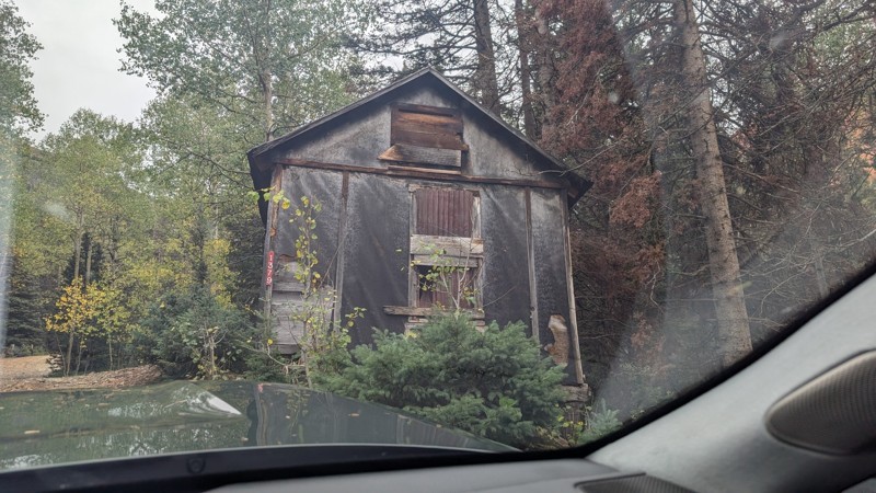
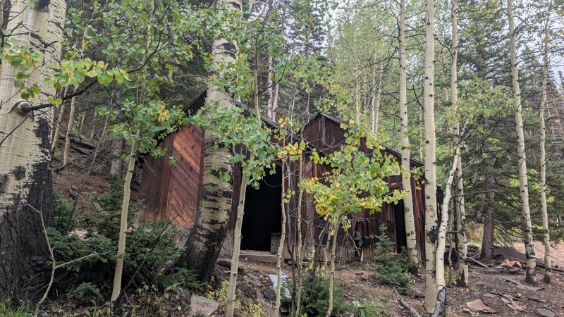
It's a steep climb all the way from the beginning to the top but there is no real obstacles. You will see some cool mines. And the views are awesome. You will see some good views of the Red Mountain p...
Mustafa ParDane
Official Crew
Rated 5/5
Open
Visited: 09/23/2026
We frequent this route probably once a week from GoG to Woodland Park. Be very careful on the blind curves - no shortage of knuckleheads driving way too fast (a biker was struck fatally in June). Us...
TC
Tim Crane
Rated 5/5
Open
Visited: 09/22/2026
Scenic road connecting to other alpine loop trails. it's not very technical or hard. but if you don't prefer shelf roads, maybe that can be considered hard. Red Mountain peaks are awesome. the scenery...

Mustafa ParDane
Official Crew
Rated 5/5
Open
Visited: 09/22/2026
Besides the shelf roads, there is not other bug obstacle or anything technical. As always, it has really good views :)


Mustafa ParDane
Official Crew
Rated 5/5
Open
Visited: 09/22/2026
Views are awesome as always with any alpine loop trails. There is a very short hike at the summit that takes you to even higher point with better views. Lake Como looks very good from there.


Mustafa ParDane
Official Crew
Rated 5/5
Open
Visited: 09/22/2026
Started from Lake City as most people recommend running the alpine loop clockwise. I think that was a wise choice because I didn't have a lot of ongoing traffic. The views are awesome and they start r...


Mustafa ParDane
Official Crew
Rated 5/5
Open
Visited: 09/22/2026
Tough trail, lots of technical spots throughout. Dont attempt solo or with any kind of stock truck!


Greg Dermann
Rated 4/5
Open
Visited: 09/22/2026
Just a dirt road with lots of potholes. Nothing technical. Drove this up to the 401 Trailhead to bike. Pretty busy with folks camping and leaf peeping. Overall it is in a pretty area and theres good c...



Davis McPherson
Rated 4/5
Open
Visited: 09/22/2026
Ok I have not run that trail in the last 4 years. I don't recall it looking like the photos. Did it recently get this way (rock garden) and get the difficult rating?
C
coyoteslocos
No Rating
Temporary Closure
Visited: 09/21/2026
Sign at the bottom of the hill says road construction but when you get to the turn off it is blocked.
PD
Paul Dixon
Rated 5/5
Open
Visited: 09/21/2026
Ran the trail from Westcliff side over the pass and into Great Sand Dunes NP. Had great weather. Don't think it had rained much in the days prior. So, the trail was dry. Think the difficulty ratin...



Stephen
Rated 5/5
Open
Visited: 09/21/2026
Id put it at a 3 some larger rocks mud and shelf roads: beautiful trail. Highly recommend.


Brian mckie
No Rating
Open
Visited: 09/21/2026
There is an area towards the end of this trail not long before it opens into the meadow that is very shaded and has become a mud hole. Well, somebody with a vehicle not capable enough to get through i...

Curt Greeley
Rated 5/5
Open
Visited: 09/20/2026
Ran this trail for the first time on 9/20/26. Absolutely stunning views and the leaves were almost at peak. This might be my new favorite trail to run during this time of year. Not difficult, but long...



Jack Mackie
Rated 4/5
Open
Visited: 09/20/2026
I wanted to run this trail on my way out from the gulches area but when I got down to the first stream crossing it had a few large logs placed in it. Im not sure if this is for traction or what, but I...
Jack Mackie
Rated 5/5
Open
Visited: 09/20/2026
First time out here and I ran this alone on 9/20/26 coming back from Old Stage 220. Took Sportsman Rd to get to 220 so I decided to take this to trail to get back to Cedar Mtn Rd. This is more fun tha...
Jack Mackie
Rated 5/5
Open
Visited: 09/20/2026
This is one of my favorite trails. I like to start at St. Mary's and run it in reverse lf this trail guide. I prefer to take most of the steep sections downhill, but if you want a fun challenge, then ...


Tim
Rated 5/5
Open
Visited: 09/20/2026
Ran this on 9-20-26 up to the Phoenix rocks. WK2 3" lift on 33's. Never been in this area before but I have read many of the reviews on here about the gulch trails. I was alone and the phoenix rocks w...

Jack Mackie
SH
Sharon Hansen
Rated 5/5
Open
Visited: 09/20/2026
Maiden voyage for my stock suspension 1994 Wrangler. The trail was surprisingly rocky in the beginning. Beautiful views and not too much traffic.
SH
Sharon Hansen
Rated 2/5
Partially Open
Visited: 09/20/2026
While there were some aspen views, this is not the best place to find them. Most of the views of the surrounding area are obscured by pine trees that are close to the road. Many of the overlooks are o...
MG
Mike Gerdts
Rated 4/5
Open
Visited: 09/20/2026
We enjoyed the trail. Beautiful scenery. Definately narrow in some areas. The terrain itself wasn't so difficult. Clearence is needed for some of the rocks in the trail.


Lisa Johnson
Rated 4/5
Open
Visited: 09/19/2026
Ran it in a 157"WB F150 on 33's, and would probably run it in a passenger car. Great views, easy climb and the switchbacks were totally navigable in a fullsize. Some of the roads on top are more app...
J
Justin
Rated 5/5
Open
Visited: 09/19/2026
The last descent at the end is kind of muddy so take it extra slow.



Joshua Scurran
Rated 5/5
Open
Visited: 09/19/2026
Ran east to west. The ascent at waypoint 14 has been cleaned up considerably - not sure if this was the work of the recovery crew we passed who were headed up Mt Baldy road, but it was much less rocky...

Jeff Dew
JG
Joseph G Botthof III
No Rating
Temporary Closure
Visited: 09/19/2026
Following up on Ryan's post, multiple incidents have occurred of vehicles sliding off the trail at washouts. CO4x4RNR was up yesterday recovering a vehicle, and we were told the trail will remain clo...

ERIC D BROWN
Rated 5/5
Open
Visited: 09/19/2026
Epic views at the top make this in and out road a must see on my list. Shelf roads with a few areas for passing. Switchbacks and 12"-18" boulders in only a few places to navigate. 4wd and good clearan...



Desi
Rated 5/5
Open
Visited: 09/19/2026
Expect closures Sept 21-24 for pipeline maintenance starting near the trestle. Perhaps related, there’s a rusty 4-6” pipe sticking out of a puddle near the trailhead at the top.
It’s been a bit rai...

MG
Mike Gerdts

Kirk Kneezle
Kirk Kneezle
Kirk Kneezle
WH
William Harkcom
Rated 5/5
Open
Visited: 09/18/2026
Great trail. Lots of fun, great views. Loved all the rock outcroppings.



Jessica H
Rated 5/5
Open
Visited: 09/18/2026
Short but fun. Right mix of technical and scenic. Ran this with Solitude Creek. Great views but that initial climb looked daunting but once you get into it wasn’t that bad.


Jessica H
No Rating
Temporary Closure
Visited: 09/18/2026
Forest Service has closed the trail due to washout damage. No ETA yet on fixes or reopening.


Ryan Boudreau
Official Crew
No Rating
Open
Visited: 09/18/2026
Only drove it to the Chinns Lake cutoff, but that part was in great condition. They've recently laid down new gravel on the lower portion in the neighborhood, it is super smooth.
S
Scott
No Rating
Open
Visited: 09/18/2026
Great condition. Only tough spot is some deep holes just before you get to the lake, otherwise it's easy. The mud holes are deeper than I remember, but it's been raining quite a bit. Lake is very, ...
S
Scott
No Rating
Open
Visited: 09/18/2026
We ran it downhill from the Miner's Gulch area. It's an easy descent thru the forest, a few rocks here and there, nothing major. Nice view of the aspens and rain clouds moving thru the area. Decent...
S
Scott
No Rating
Open
Visited: 09/18/2026
Mostly moderate, but a few spots are pretty rough with unavoidable and awkwardly placed boulders - stock vehicle are likely to hit their rocker panels. Good approach angles and rock sliders are your...
S
Scott
Rated 5/5
Open
Visited: 09/18/2026
Trail is in great condition, views from the top are magnificent.
S
Scott
Rated 4/5
Open
Visited: 09/18/2026
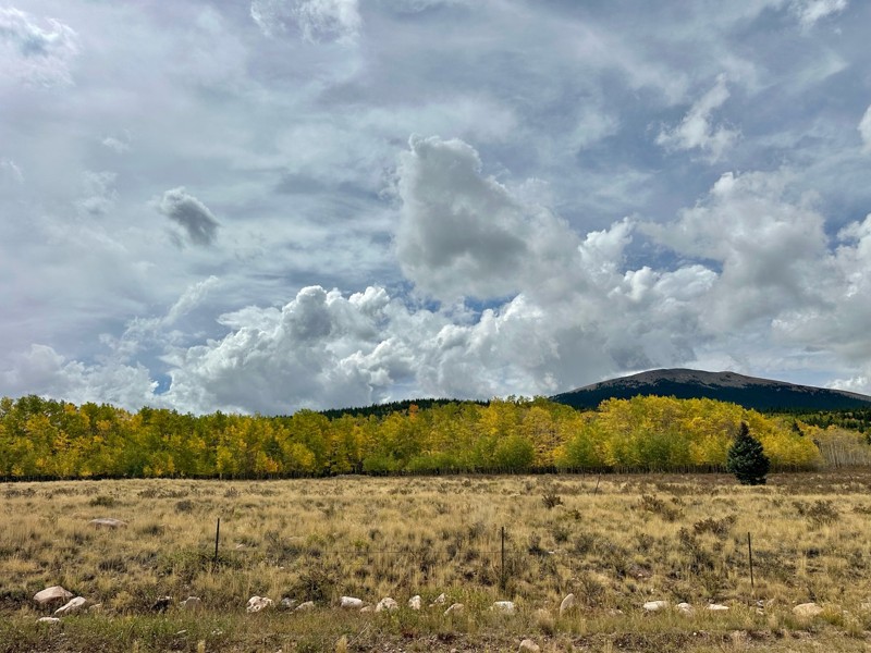
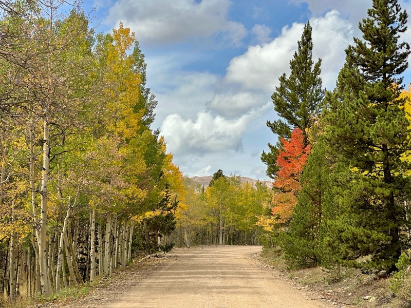
Went up for the aspens and I’d guess, for the most part, they’re maybe a few days past peak. Ran it in “reverse” starting from the east trailhead and there was still plenty of good color to see. Close...

Scott Bram
Rated 5/5
Open
Visited: 09/18/2026
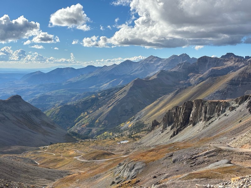
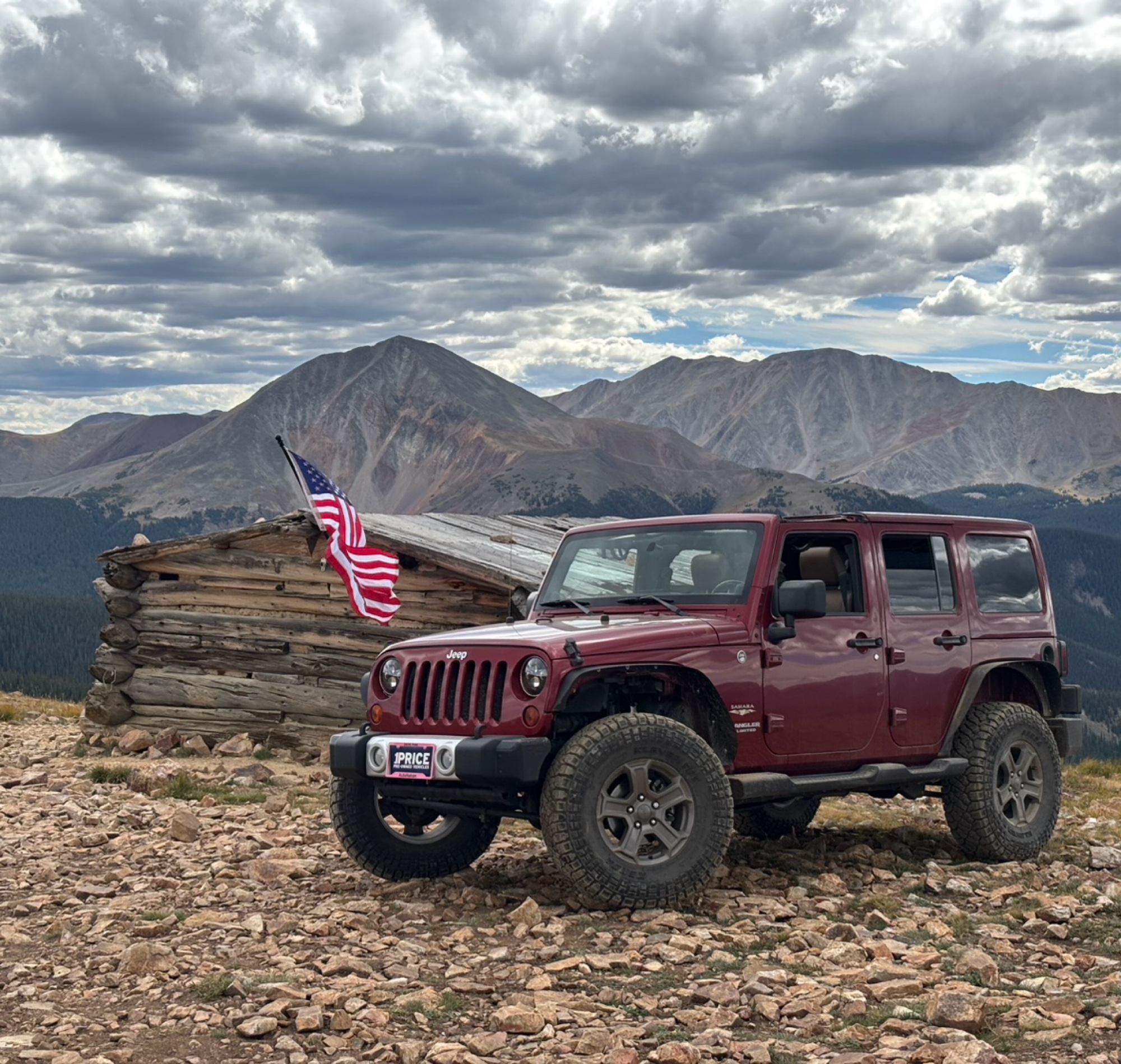
Ran the trail starting in Telluride on Friday the 18th. The trail is open the whole way through to Ouray. Very little dust thanks to all of the rain lately made our first time on Imogene very pleasant...
Matthew Stef
Rated 5/5
Open
Visited: 09/18/2026
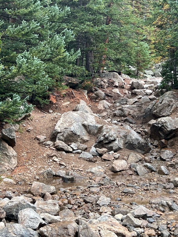
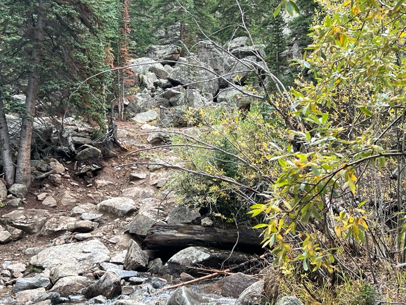
Fantastic views. Great time of the year to go - less likely to need to pass other vehicles on some steep ascents. The “gatekeeper” obstacle and narrow (no room to pass) sections are the major conside...
TK
Tarik Khatib
Rated 5/5
Open
Visited: 09/18/2026
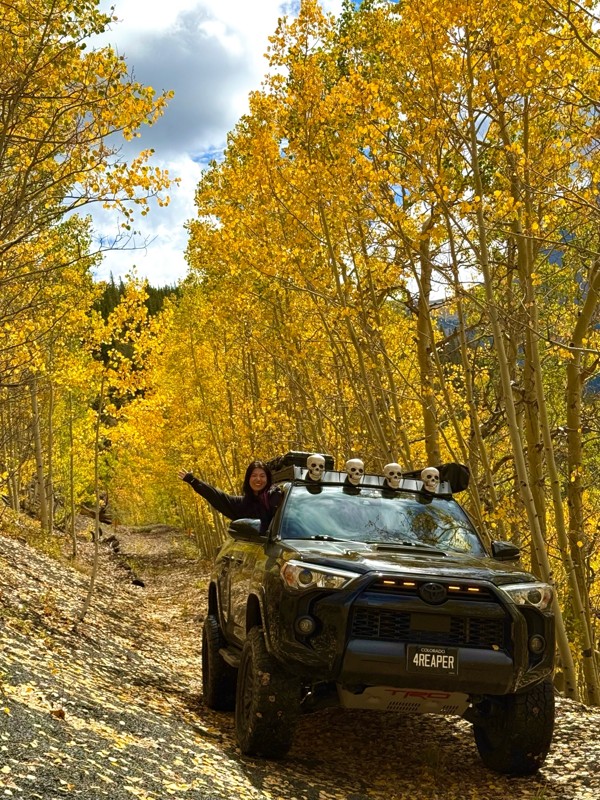
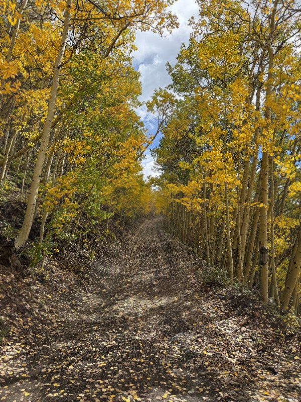
We honestly didn’t mean to take this road but ended up on this road on accident looking for a way to get from Georgia pass to Breck. The colors were amazing!! We came east to west so we were heading d...
V
Vince
Rated 5/5
Open
Visited: 09/18/2026
Beautiful trail. Fun whoops and a pretty rocky section. Would definitely recommend not taking the family sedan.
Wade Williams
Most Popular
Updated: 07/18/2024
Liberty Trail
Penrose, Colorado
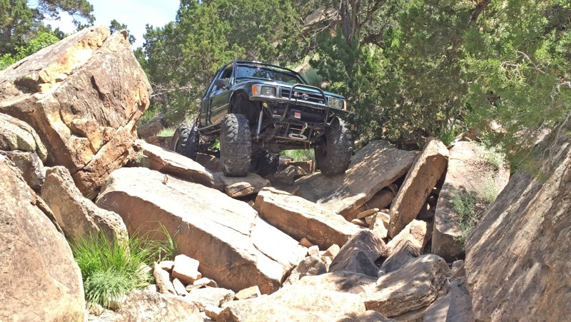
Steep hills, big ledges, and lots of rocks. This rock crawling trail will push your suspension to the limit with all the boulders you can flex on. Longest and easiest of the Independence Trail System. Even though it's only 1.6 miles long it still provides a fun challenge!
Updated: 07/05/2024
Elk Park Road
Black Hawk, Colorado
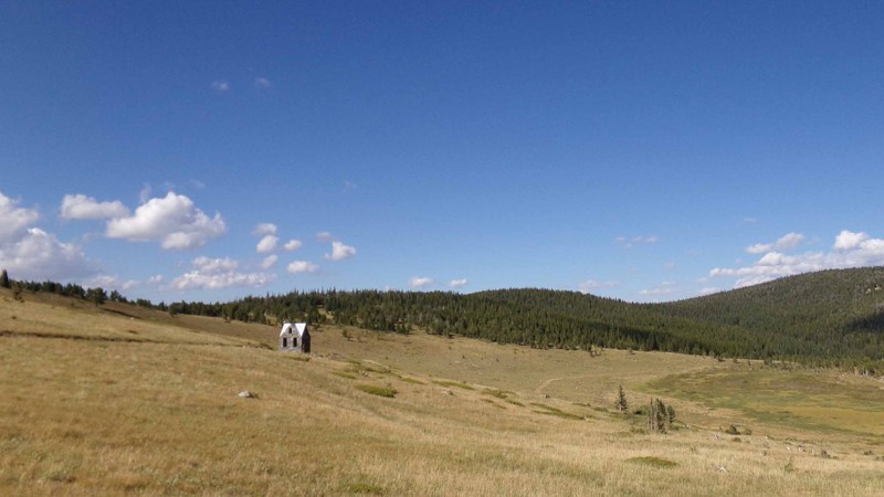
Making an important connection from Apex Valley to Mammoth Gulch, northwest of Central City, Elk Park Road links the trails around Oregon Hill and Dakota Hill to Mammoth Gulch and Kingston Peak. Along the way, you will find evidence of the area’s rich mining history as you pass the ghost towns of Apex and Nugget. You also pass the old road to American City, although you can no longer take it, and you will see the old stone house standing sentinel in Elk Park. Besides the history, there is plenty of scenery to be enjoyed as you pass through the open valley of Elk Park and are treated to views of the James Peak Wilderness Area to the west and south and the Indian Peaks to the north. Because of its location, you cannot run Elk Park Road as a stand-alone trail. You can combine it with Apex Valley Road and Mammoth Gulch for an easy, scenic drive or use it to connect the Dakota Hill network with Kingston Peak and the Yankee Hill area for an extended adventure.
Updated: 06/17/2024
Bowen Lake Loop
Glenwood Springs, Colorado
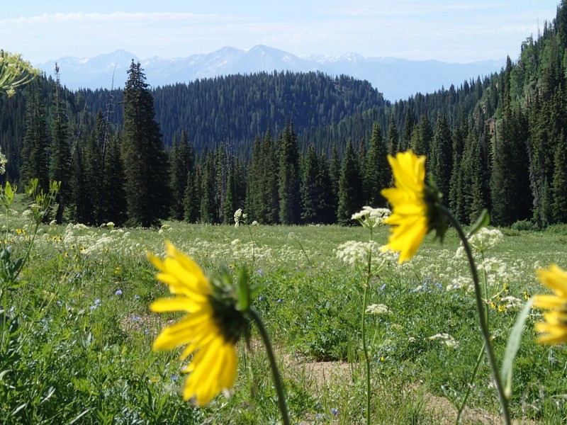
Hidden and relatively unused in the White River National Forest near Glenwood Springs, Colorado, the Bowen Lake 4WD Road takes you through an uplifted highland with gently rolling terrain. There are vasts open grasslands that explode with wildflowers during the summer and in between, there are islands of fir and spruce which you navigate through only to be greeted with yet another field of flowers. Hidden, remote, and relaxed is what you get with this trail.
Updated: 07/10/2024
Box Road (aka China Wall North)
Lake George, Colorado
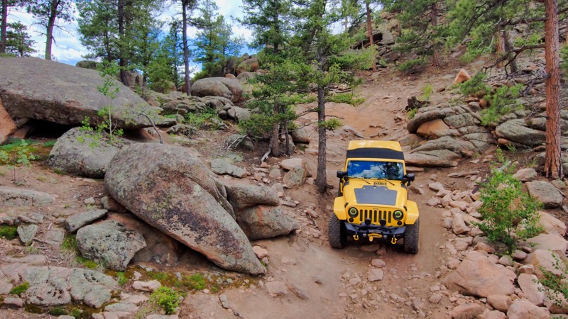
Box Road, tucked in Park County, Colorado, is a scenic part of the China Wall Trail System, connecting to the rugged China Wall Road. This trail weaves through tranquil forests dotted with pine and aspen trees, where, on a quiet day, the gentle rustling of leaves and birds chirping create a peaceful ambiance. However, the serenity is interrupted by a challenging rock formation that adds adventure to the journey. Box Road's real highlight is its stunning views of the Tarryall Mountains and the expansive Colorado wilderness. Box Road and China Wall Trail System provide a perfect mix of forested trails and breathtaking landscapes, making it a must-visit for anyone looking to experience the quintessential Colorado offroad adventure.
Updated: 06/15/2024
Michigan Hill
Rollinsville, Colorado
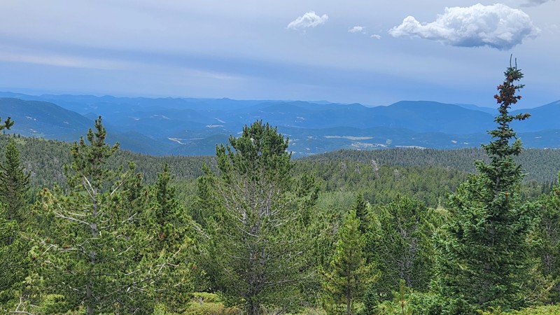
Michigan Hill offers various terrain and landscapes, from tight turns through dense forests to open hillsides with spectacular views. You cross easy slopes of dirt and gravel and rougher talus shelf roads. If you are looking for more challenge and thrill, the optional tricky descent down and rough climb up the back side of the mountain can provide that. You pass tailing piles and an old mining shed, and the remnants of an old mine can be found at the summit, relics of the historic mining days. Although they are not plentiful, the campsites along this trail are very nice. Michigan Hill is one of the major trails in the Dakota Hill network, connecting to several other trails.
Updated: 05/24/2024
Park Creek Road
South Fork, Colorado
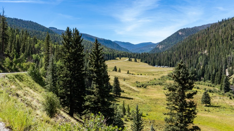
Situated in the Rio Grande National Forest, near the town of South Fork, Park Creek Road is a scenic mountain road known for its picturesque views and vast access to many outdoor recreational activities. Whether planning weekend camping, local fishing, high-mountain hiking, or long-distance overlanding, this trail will pique your interest around every turn. Expect to gaze across scenic vistas, through rich grassy meadows, upon tower rock faces, and hear the rhythmic sleep-inducing sounds of babbling creeks. Combine Park Creek Road with several other roads in the area to fill a day or an entire week of exploring.
Updated: 12/19/2025
Handcart Gulch
Grant, Colorado
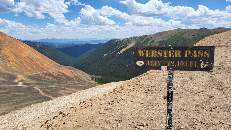
Handcart Gulch, also known as the south side of Webster Pass, is a well-traveled high-country 4x4 road near Grant, Colorado, and is one of the main passes between Summit County and Park County. The trail climbs from pine forest into alpine terrain, with dispersed camping available in the trees along the lower sections. Above treeline, the route becomes a narrow, exposed shelf road that will get your heart pounding before reaching the pass and connecting to Webster Pass at over 12,000 feet, with wide views into both counties and across surrounding ridgelines. The pass links the towns of Montezuma and Grant and is often used as a descent route after running Red Cone. Trail conditions are highly seasonal as snow lingers here longer than many nearby routes. The summit area is known for a long-lasting snow cornice that can keep the pass impassable into late July, so checking the current status is recommended before attempting.
Updated: 11/24/2023
Billings Canyon Access Road
Grand Junction, Colorado
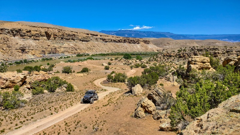
Looping through the Bangs Canyon Special Recreation Area and located just a short drive from downtown Grand Junction, Billings Canyon Access Road was once the only way to access the extreme Billings Canyon Jeep Trail. Nowadays, that extreme trail can be accessed faster from the Third Flats Trailhead and Third Flats Road. This road is now used mainly to find reprieve from the scorching Western Colorado heat on the banks of the Gunnison River. The trail crosses broad barren plateaus, snakes along steep ridgelines, and passes unique rock formations as you make your way out of Rough Canyon.
Updated: 11/24/2023
Windmill Road
Grand Junction, Colorado
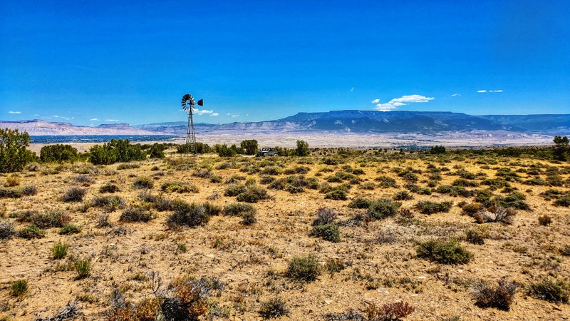
Looping through the Bangs Canyon Special Recreation Area and located just a short drive from downtown Grand Junction, Windmill Road is a mild and unique trail with a remote feeling, fantastic vistas, an old iron windmill, and a nice relaxing dip in the Gunnison River to mark the halfway point of your journey. If you are looking for a trail close to town yet want to avoid crowds, Windmill Road is exactly the trail you are looking for.
Updated: 10/02/2022
Prairie Divide Road
Red Feather Lakes, Colorado
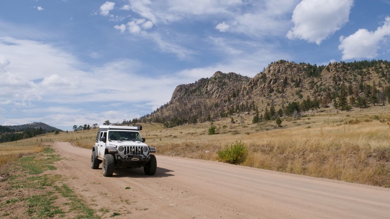
Prairie Divide Road is boondock heaven just north of the quaint little town of Red Feather Lakes. The draw here is not this trail itself but the access you get to all the other fantastic recreational opportunities in the area. Hiking, fishing, and hunting are all at your leisure when on this road.
Updated: 12/01/2023
Foggy Park Road
Drake, Colorado
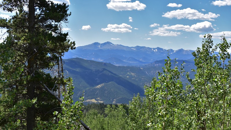
Dark and dusty, Foggy Park Road continues deep into the forest past the more popular Storm Mountain Road. This single-lane trail will require your full attention as you leave the crowds behind. Besides the routine sightings of deer and elk, the opportunity to see mountain lions and bears along this route is plentiful. An open mountain park adds beauty to a visually stunning view across the foothills and peaks to the southwest. If your goal is to get away, Foggy Park Road goes there.
Updated: 07/17/2024
Boulder Mountain
Buena Vista, Colorado
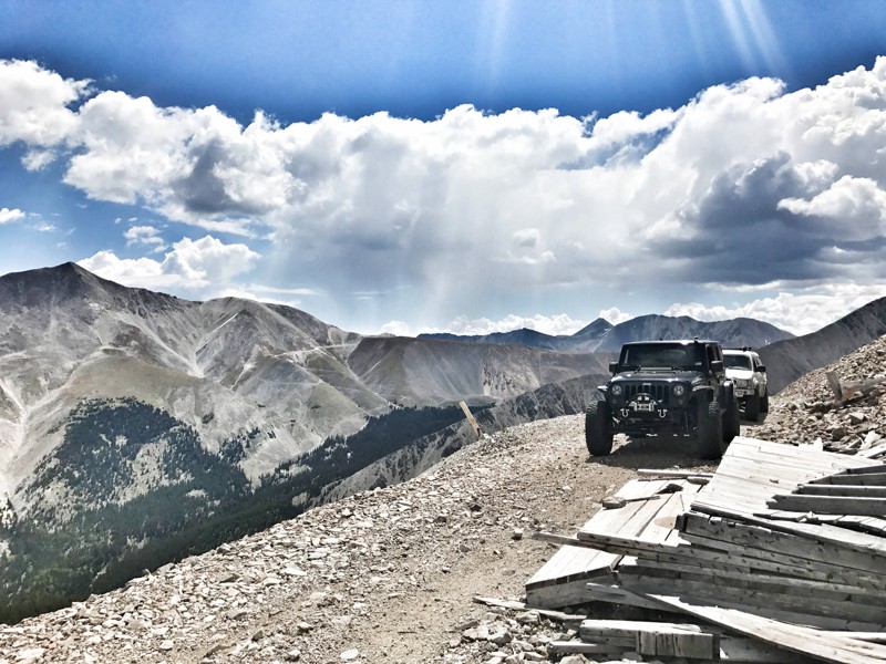
Boulder Mountain has all the unique features you typically look for in a Central Colorado trail, and while there are no named obstacles, the steep terrain, and narrowness of trail will keep your focus on the road. The trail starts in dense, thick forests and proceeds to climb the north side of Boulder Mountain. The trail follows a narrow roadbed as it switchbacks up the side of the mountain. You will cross a wide avalanche chute on your way toward timberline. Once out of the trees, the views are unimpeded and you will proceed to cross talus slopes on your way to an abandoned mine site. The terrain at the mine site feels as though you are hanging off the side of the mountain and allows you to look down into the Town of Alpine in the Chalk Creek Valley below.
Updated: 04/14/2024
Little Creek Ridge
Westcreek, Colorado
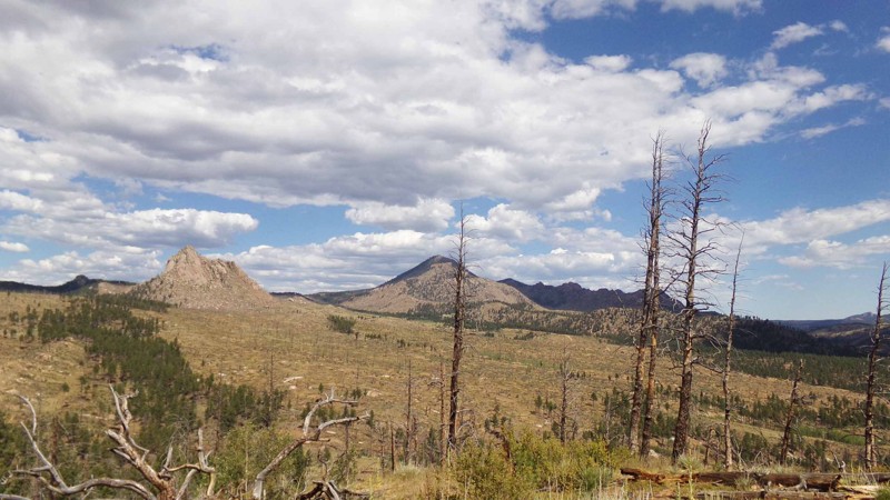
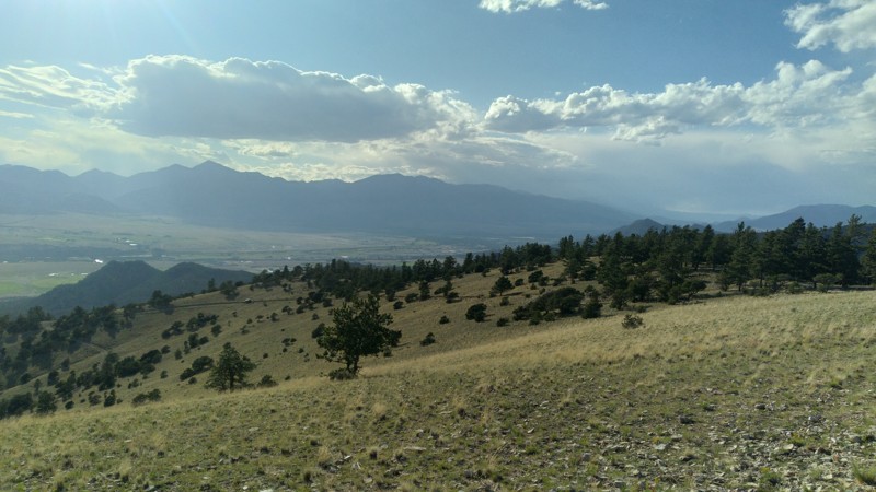
This moderate offroad route runs along the top of the high ridge between Little Creek and Trail Creek near Westcreek, CO providing panoramic views of the burn scar of the infamous Hayman Fire. It serves as a slightly rougher and more scenic way to get to the area around Signal Butte and Phantom Creek than the very easy route along Trail Creek Road.
Updated: 09/10/2025
Bald Mountain Loop
Nathrop, Colorado
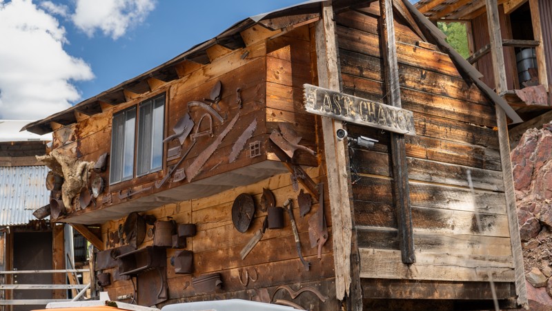
Bald Mountain Loop is a spur 4WD road off of Bald Mountain Gulch in the Fourmile area of Colorado, southeast of Johnson Village. It provides expansive views of the Arkansas River valley and the Collegiate Peaks. There are many other 4WD roads in the vicinity, so Fourmile is ideal for a weekend excursion of trails, camping, hiking, and fishing. Be sure to include the panoramic Bald Mountain Loop.
Updated: 07/04/2024
Bachelor Road
Creede, Colorado
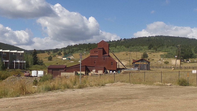
Located just east of Creede, passing through the all-but-lost ghost town of Bachelor, Bachelor Road is the western portion of the iconic Bachelor Loop Historic Driving Tour. This time-traveling dirt road offers adventurers a glance into the past as you relive the mining history of the last silver boom town in Colorado. Bachelor Road not only offers a storied past but welcomes users of all recreation types and rewards them with continuous, non-stop beauty. This trail will surely be memorable, from the aged Bristlecone Pines and high alpine peaks to the groves of bright golden aspen overtaking hillsides above the Rio Grande River.
Updated: 04/29/2024
Upper Apex Road
Central City, Colorado
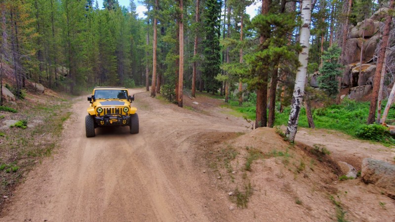
Upper Apex Road provides an important connection between the roads above Central City which connect to the Yankee Hill network and Apex Valley Road which connects to the 4wd trails around Dakota Hill and Oregon Hill. Although you won’t need 4wd on this road it still packs a lot of features into its 2.6 miles. Near the beginning of the road you will pass the well-preserved Boodle Mill, a monument to the rich mining history of the area. Soon after that, you pass by several of the almost one dozen historic cemeteries scattered over the hills above Central City. About halfway down the road, you will find the gorgeous General Chase Gulch Reservoir with picnic tables and a porta-potty. And all along the way, you traverse beautiful pine and aspen forested hill past quaint mountain cottages and picturesque farms.
Updated: 07/10/2024
Gove Creek
Larkspur, Colorado
Gove Creek Road, just off Rampart Range Road in Pike National Forest, offers a secluded and serene camping experience with lighter summer traffic than its neighbors and stunning exposed granite formations. This trail provides vibrant wildflowers in summer and beautiful autumn aspens, perfect for those looking to escape civilization without traveling far from the Colorado Springs area. Gove Creek Road is a memorable destination, offering natural beauty and tranquility year-round.

Updated: 04/08/2025
Penrose Commons BLM 6102
Penrose, Colorado
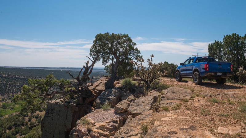
Penrose Commons is a BLM OHV recreation area near Penrose, Colorado. The area is full of crisscrossing full-size and ATV trails of varying difficulty. BLM Route 6102 is the main backbone route through the middle of the area and continues to wind its way down the east side. The road is mostly rocky, with short dirt sections that may be muddy in the wet season. There are several areas with small rock steps, mostly 6-8" tall. One section on the east portion has small boulders and larger steps up to 12" tall, which may be difficult for a stock 4x4. Sections of the trail can be tight between the juniper trees, but careful driving should avoid any pinstripes. The trail ends in a large loop, with a short spur to the south. There is a small turnaround area at the end of the spur, which could fit 2 or 3 vehicles. The east portion of the trail follows a large canyon with spectacular views. Camping within Penrose Commons is limited to designated sites only, which are marked with camping signs. Do not make new fire rings. 6102 offers several designated clusters near the south end, where you can also find a large parking area suitable for trailers or RVs. Vault toilets are located at the entrance to the OHV area.
Updated: 06/29/2026
Herman Spur 3 North Road
Palmer Lake, Colorado
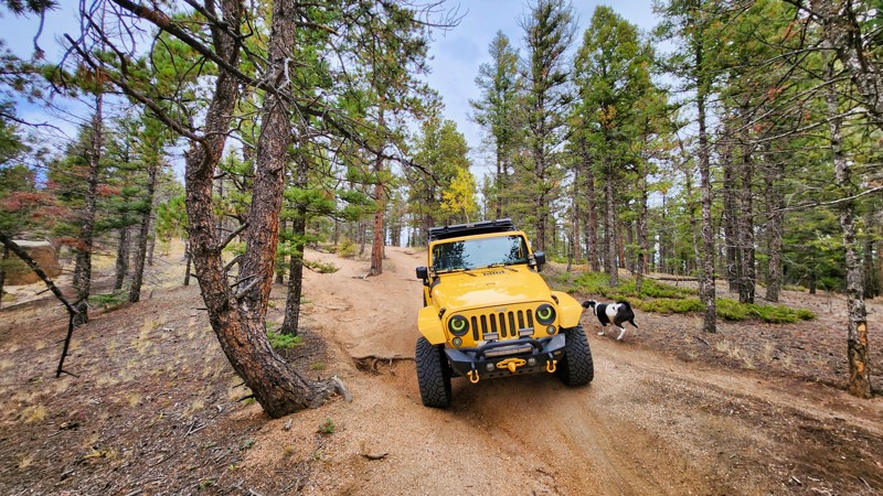
This trail is one of the longer spurs off Mount Herman Road and has great views from good campsites. The road is rough and weathered. Heavy rutting and some rocks make travel difficult.
Updated: 06/05/2022
Coon Hollow
De Beque, Colorado
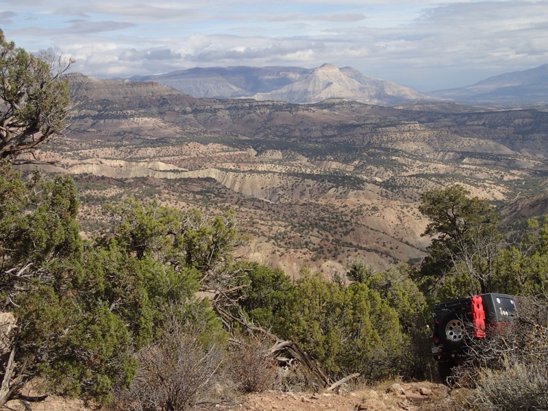
Sage, washes, forests, hoodoos, and mesas on a road less travelled. Starting just outside the town of DeBeque, Colorado and not to far from Grand Junction, this off-road trail is a seldom used and off the beaten path. This trail challenges your driving skills and rewards you with a high desert landscape relatively untouched.
Updated: 08/11/2026
Cement Creek
Crested Butte, Colorado
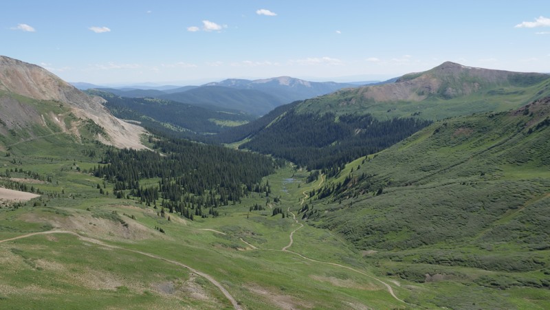
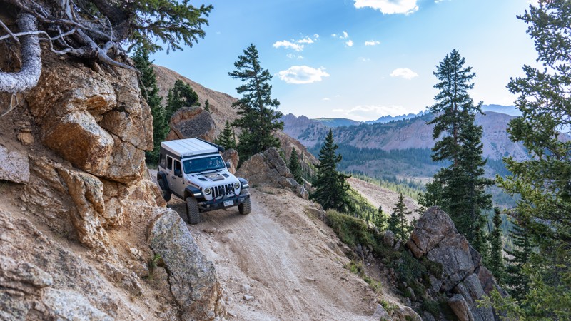
With stunning mountain vistas, crystal clear creek crossings, lush meadows of wildflowers of every color imaginable, and a plethora of camping opportunities, Cement Creek is one of those trails that has it all. Located just south of Crested Butte, this trail will take you up to an elevation of almost 12,500 feet, just below the summit of Mount Tilton. Along the way, you will have the chance to hike, mountain bike, fish, and camp. Spend the night in one of the 23 designated campsites along the way. Sites 1-9 will be accessible by a 2WD/AWD vehicle, but the rest of the trail will require 4WD with a transfer case to safely get to the top. At the very top, you can expect a few steep, narrow, off-camber shelf portions, but if you can handle the anxiety, the summit will treat you to 360-degree views of the scenery that this area of Colorado is famous for.
Updated: 07/07/2024
Express Creek
Aspen, Colorado
Located in the picturesque backcountry of the Elk Mountains, Express Creek is the northern half of the high mountain pass known as Taylor Pass. Meandering across rocky terrain, through lush forest, and alongside babbling creeks, drivers of this trail are treated to stunning views of towering peaks and verdant valleys. Express Creek definitely isn't short on scenic stops or photo opportunities. While the trail traverses a few steep grades and narrow passages, it remains accessible for anyone looking for an adrenaline-fueled adventure or a leisurely exploration through Colorado's breathtaking wilderness.
Updated: 07/21/2026
Miner's Creek
Frisco, Colorado
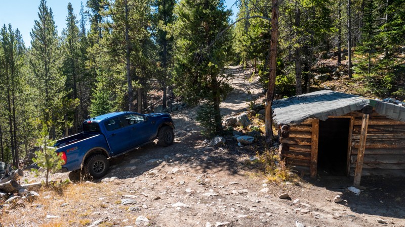
Miner's Creek 4x4 Trail is a rough dirt and rock trail following Miner's Creek south of Frisco, Colorado, to a maximum elevation of 10,550 feet. The entire trail is heavily forested, with the nearby creek providing a pleasant atmosphere for an afternoon picnic or a weekend of remote camping.
To access this trail, travel south on Miners Creek Road, a paved 2-lane road for the first quarter mile until you reach the Miners Creek hiking trailhead. At this point, the road becomes a paved mixed-use bike path open to licensed motor vehicles. Be sure to share the road with bicycles and other recreational users. Follow the bike path for another quarter mile, where it will cross another bike path, and reach a small dirt parking lot for another hiking trailhead. The Miner's Creek 4x4 trail begins here as a rough dirt road.
This trail is closed from November 23 - May 20 or if conditions are muddy. ATVs, Side-By-Sides, and other non-licensed motor vehicles are not permitted.
The trail starts as mostly rough dirt with some ruts and a couple of shallow water crossings. As the trail climbs, it becomes rockier with tennis ball-sized rocks and a steeper slope. A few bumps, ruts, and slopes exceeding 13 degrees may make this trail difficult for a vehicle without moderate clearance and low range. Any stock 4x4 SUV or truck should have no problems.
Near the top is a small one-room log cabin, which appears to still get some use. The trail's end is a large turnaround area that could fit five vehicles or more. There are several campsites here as well.
The trail crosses and parallels several hiking and mountain bike trails, including a segment of The Colorado Trail.
There is no camping permitted along the first 1.5 miles of the trail. Beyond that, dispersed camping is allowed following USFS rules. There are several very nice campsites with existing fire rings along the length of the trail, with a few at the top.
Updated: 07/24/2026
Portland Trail Road
Ouray, Colorado
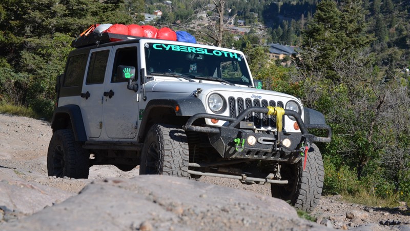
Located just minutes outside of town, Portland Road is a seasonal out-and-back road that treks deep into the bowl of the Ouray Amphitheater, ending at the site of the Portland Mine. The road is extremely rough and rocky and climbs sharply nearly the entire way. The road is lined with great dispersed camping options, including an amazing meadow about halfway in, at a 4-way intersection with Grizzly Bear Road. Along the drive, you will pass several hiking trails and encounter many hikers utilizing the road. The ending of the trail offers very little space to turn around thus this is not a good trail for groups larger than 3 or 4 vehicles.
This trail is best suited for high clearance vehicles with rugged offroad tires and a low-range selectable transfer case. Skid plates are recommended as lower clearance vehicles may scrape in a few spots.

Upgrade your Membership
Unlock all of the details on every Trail Guide and Scout Route.
Start a 7-day Free TrialBrowse Trails in Colorado by City
Browse every Colorado city with offroad trail guides.
Community
Partners

