













By clicking "ACCEPT", you agree to be the terms and conditions of each policy linked to above. You also agree to the storing of cookies on your device to facilitate the operation and functionality of our site, enhance and customize your user experience, and to analyze how our site is used.
Colorado Off-Road Trails
602
Total Trail Guides 575

6450
Detailed Waypoints 568
Try a Free 7-Day Trial and unlock it all
Start a Free Trial Most Recent Trail Reviews
Rated 5/5
Open
Visited: 09/23/2026
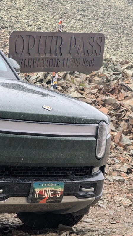
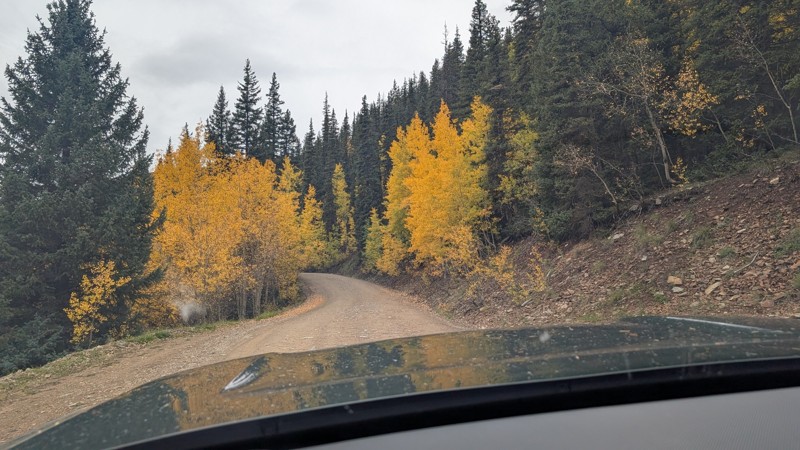
nice trail with good views. a classic in the San Juans... it's not quite as easy as 2 but not a true 3 either. Totally doable with a stock 4WD.


Mustafa ParDane
Official Crew
Rated 5/5
Open
Visited: 09/23/2026
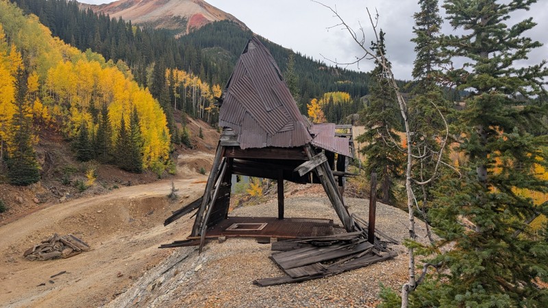
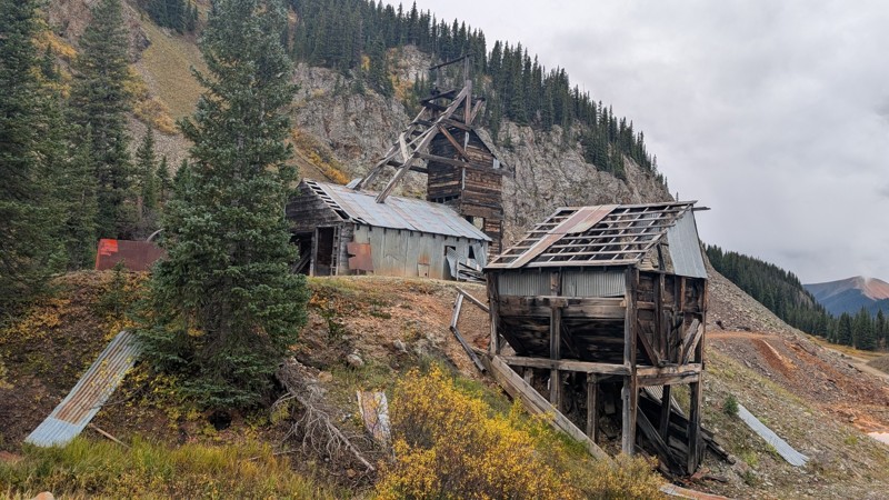
Nice fun easy trail! You will see lots of mines. I mean lots of them. If you are into it, this is the trail for you :)
Mustafa ParDane
Official Crew
Rated 5/5
Open
Visited: 09/23/2026
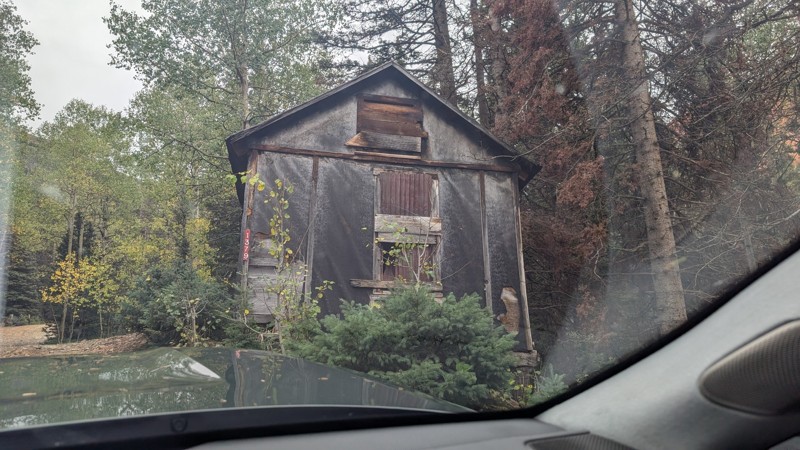
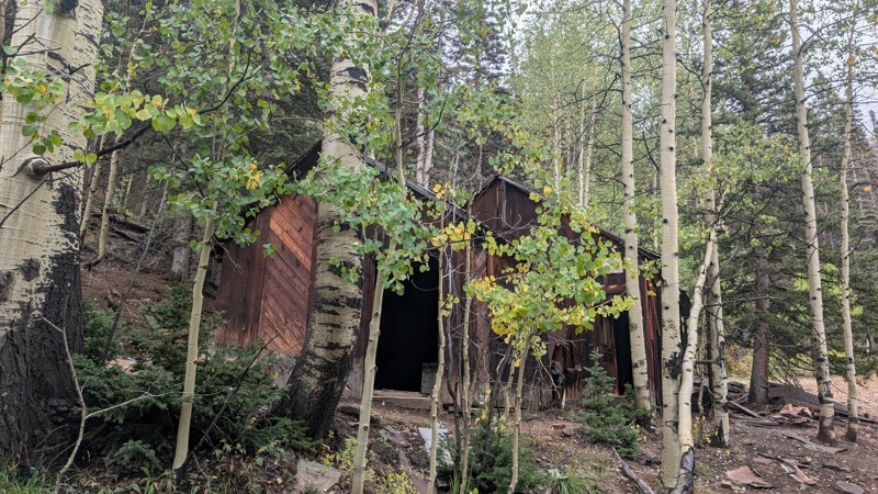
It's a steep climb all the way from the beginning to the top but there is no real obstacles. You will see some cool mines. And the views are awesome. You will see some good views of the Red Mountain p...
Mustafa ParDane
Official Crew
Rated 5/5
Open
Visited: 09/23/2026
We frequent this route probably once a week from GoG to Woodland Park. Be very careful on the blind curves - no shortage of knuckleheads driving way too fast (a biker was struck fatally in June). Us...
TC
Tim Crane
Rated 5/5
Open
Visited: 09/22/2026
Scenic road connecting to other alpine loop trails. it's not very technical or hard. but if you don't prefer shelf roads, maybe that can be considered hard. Red Mountain peaks are awesome. the scenery...

Mustafa ParDane
Official Crew
Rated 5/5
Open
Visited: 09/22/2026
Besides the shelf roads, there is not other bug obstacle or anything technical. As always, it has really good views :)


Mustafa ParDane
Official Crew
Rated 5/5
Open
Visited: 09/22/2026
Views are awesome as always with any alpine loop trails. There is a very short hike at the summit that takes you to even higher point with better views. Lake Como looks very good from there.


Mustafa ParDane
Official Crew
Rated 5/5
Open
Visited: 09/22/2026
Started from Lake City as most people recommend running the alpine loop clockwise. I think that was a wise choice because I didn't have a lot of ongoing traffic. The views are awesome and they start r...


Mustafa ParDane
Official Crew
Rated 5/5
Open
Visited: 09/22/2026
Tough trail, lots of technical spots throughout. Dont attempt solo or with any kind of stock truck!


Greg Dermann
Rated 4/5
Open
Visited: 09/22/2026
Just a dirt road with lots of potholes. Nothing technical. Drove this up to the 401 Trailhead to bike. Pretty busy with folks camping and leaf peeping. Overall it is in a pretty area and theres good c...



Davis McPherson
Rated 4/5
Open
Visited: 09/22/2026
Ok I have not run that trail in the last 4 years. I don't recall it looking like the photos. Did it recently get this way (rock garden) and get the difficult rating?
C
coyoteslocos
No Rating
Temporary Closure
Visited: 09/21/2026
Sign at the bottom of the hill says road construction but when you get to the turn off it is blocked.
PD
Paul Dixon
Rated 5/5
Open
Visited: 09/21/2026
Ran the trail from Westcliff side over the pass and into Great Sand Dunes NP. Had great weather. Don't think it had rained much in the days prior. So, the trail was dry. Think the difficulty ratin...



Stephen
Rated 5/5
Open
Visited: 09/21/2026
Id put it at a 3 some larger rocks mud and shelf roads: beautiful trail. Highly recommend.


Brian mckie
No Rating
Open
Visited: 09/21/2026
There is an area towards the end of this trail not long before it opens into the meadow that is very shaded and has become a mud hole. Well, somebody with a vehicle not capable enough to get through i...

Curt Greeley
Rated 5/5
Open
Visited: 09/20/2026
Ran this trail for the first time on 9/20/26. Absolutely stunning views and the leaves were almost at peak. This might be my new favorite trail to run during this time of year. Not difficult, but long...



Jack Mackie
Rated 4/5
Open
Visited: 09/20/2026
I wanted to run this trail on my way out from the gulches area but when I got down to the first stream crossing it had a few large logs placed in it. Im not sure if this is for traction or what, but I...
Jack Mackie
Rated 5/5
Open
Visited: 09/20/2026
First time out here and I ran this alone on 9/20/26 coming back from Old Stage 220. Took Sportsman Rd to get to 220 so I decided to take this to trail to get back to Cedar Mtn Rd. This is more fun tha...
Jack Mackie
Rated 5/5
Open
Visited: 09/20/2026
This is one of my favorite trails. I like to start at St. Mary's and run it in reverse lf this trail guide. I prefer to take most of the steep sections downhill, but if you want a fun challenge, then ...


Tim
Rated 5/5
Open
Visited: 09/20/2026
Ran this on 9-20-26 up to the Phoenix rocks. WK2 3" lift on 33's. Never been in this area before but I have read many of the reviews on here about the gulch trails. I was alone and the phoenix rocks w...

Jack Mackie
SH
Sharon Hansen
Rated 5/5
Open
Visited: 09/20/2026
Maiden voyage for my stock suspension 1994 Wrangler. The trail was surprisingly rocky in the beginning. Beautiful views and not too much traffic.
SH
Sharon Hansen
Rated 2/5
Partially Open
Visited: 09/20/2026
While there were some aspen views, this is not the best place to find them. Most of the views of the surrounding area are obscured by pine trees that are close to the road. Many of the overlooks are o...
MG
Mike Gerdts
Rated 4/5
Open
Visited: 09/20/2026
We enjoyed the trail. Beautiful scenery. Definately narrow in some areas. The terrain itself wasn't so difficult. Clearence is needed for some of the rocks in the trail.


Lisa Johnson
Rated 4/5
Open
Visited: 09/19/2026
Ran it in a 157"WB F150 on 33's, and would probably run it in a passenger car. Great views, easy climb and the switchbacks were totally navigable in a fullsize. Some of the roads on top are more app...
J
Justin
Rated 5/5
Open
Visited: 09/19/2026
The last descent at the end is kind of muddy so take it extra slow.



Joshua Scurran
Rated 5/5
Open
Visited: 09/19/2026
Ran east to west. The ascent at waypoint 14 has been cleaned up considerably - not sure if this was the work of the recovery crew we passed who were headed up Mt Baldy road, but it was much less rocky...

Jeff Dew
JG
Joseph G Botthof III
No Rating
Temporary Closure
Visited: 09/19/2026
Following up on Ryan's post, multiple incidents have occurred of vehicles sliding off the trail at washouts. CO4x4RNR was up yesterday recovering a vehicle, and we were told the trail will remain clo...

ERIC D BROWN
Rated 5/5
Open
Visited: 09/19/2026
Epic views at the top make this in and out road a must see on my list. Shelf roads with a few areas for passing. Switchbacks and 12"-18" boulders in only a few places to navigate. 4wd and good clearan...



Desi
Rated 5/5
Open
Visited: 09/19/2026
Expect closures Sept 21-24 for pipeline maintenance starting near the trestle. Perhaps related, there’s a rusty 4-6” pipe sticking out of a puddle near the trailhead at the top.
It’s been a bit rai...

MG
Mike Gerdts

Kirk Kneezle
Kirk Kneezle
Kirk Kneezle
WH
William Harkcom
Rated 5/5
Open
Visited: 09/18/2026
Great trail. Lots of fun, great views. Loved all the rock outcroppings.



Jessica H
Rated 5/5
Open
Visited: 09/18/2026
Short but fun. Right mix of technical and scenic. Ran this with Solitude Creek. Great views but that initial climb looked daunting but once you get into it wasn’t that bad.


Jessica H
No Rating
Temporary Closure
Visited: 09/18/2026
Forest Service has closed the trail due to washout damage. No ETA yet on fixes or reopening.


Ryan Boudreau
Official Crew
No Rating
Open
Visited: 09/18/2026
Only drove it to the Chinns Lake cutoff, but that part was in great condition. They've recently laid down new gravel on the lower portion in the neighborhood, it is super smooth.
S
Scott
No Rating
Open
Visited: 09/18/2026
Great condition. Only tough spot is some deep holes just before you get to the lake, otherwise it's easy. The mud holes are deeper than I remember, but it's been raining quite a bit. Lake is very, ...
S
Scott
No Rating
Open
Visited: 09/18/2026
We ran it downhill from the Miner's Gulch area. It's an easy descent thru the forest, a few rocks here and there, nothing major. Nice view of the aspens and rain clouds moving thru the area. Decent...
S
Scott
No Rating
Open
Visited: 09/18/2026
Mostly moderate, but a few spots are pretty rough with unavoidable and awkwardly placed boulders - stock vehicle are likely to hit their rocker panels. Good approach angles and rock sliders are your...
S
Scott
Rated 5/5
Open
Visited: 09/18/2026
Trail is in great condition, views from the top are magnificent.
S
Scott
Rated 4/5
Open
Visited: 09/18/2026
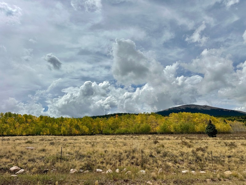
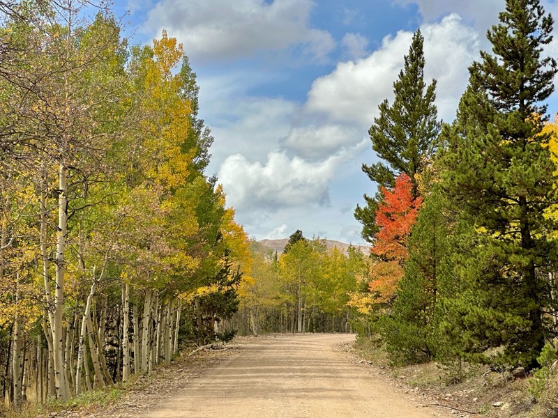
Went up for the aspens and I’d guess, for the most part, they’re maybe a few days past peak. Ran it in “reverse” starting from the east trailhead and there was still plenty of good color to see. Close...

Scott Bram
Rated 5/5
Open
Visited: 09/18/2026
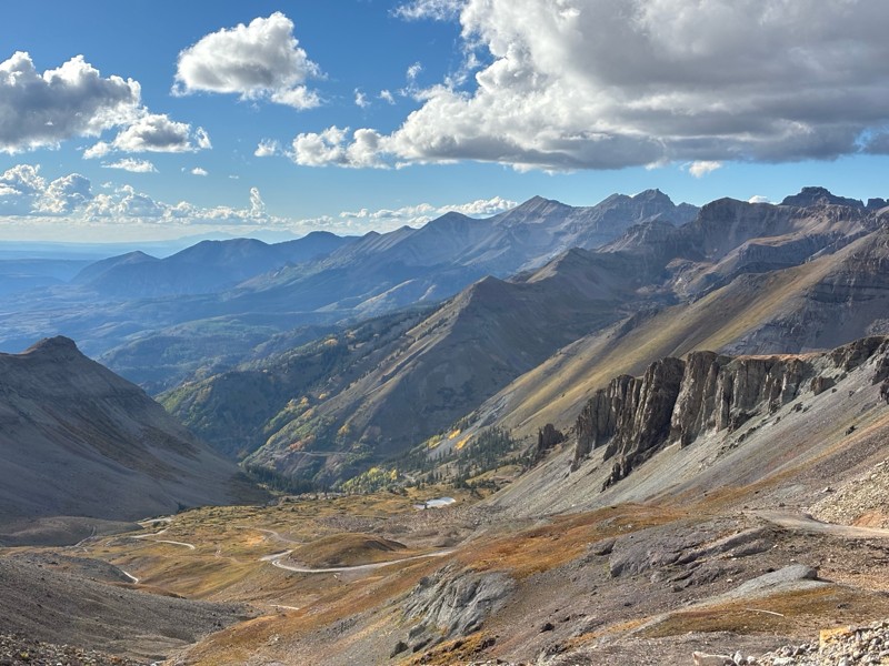
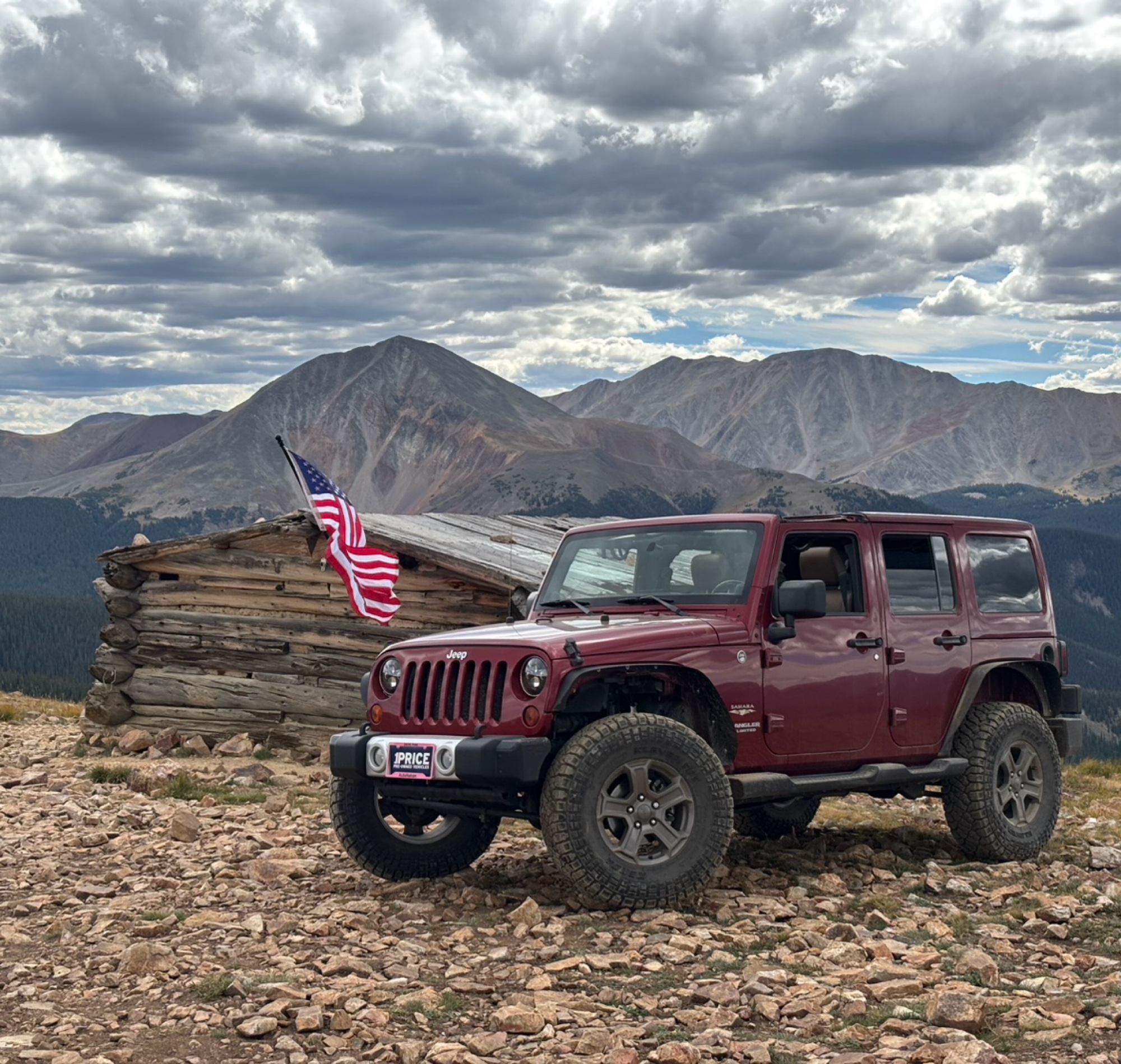
Ran the trail starting in Telluride on Friday the 18th. The trail is open the whole way through to Ouray. Very little dust thanks to all of the rain lately made our first time on Imogene very pleasant...
Matthew Stef
Rated 5/5
Open
Visited: 09/18/2026
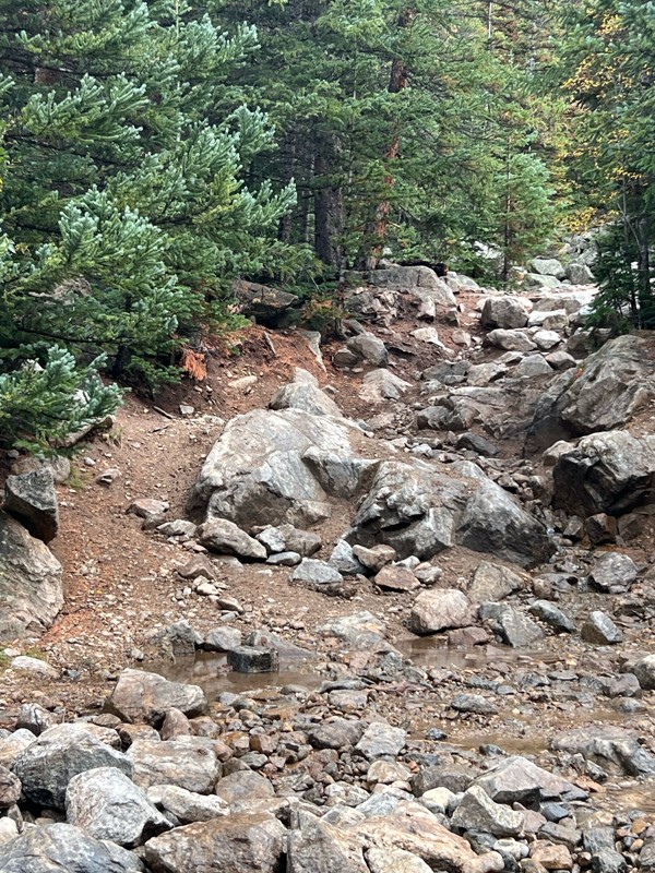
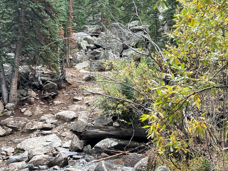
Fantastic views. Great time of the year to go - less likely to need to pass other vehicles on some steep ascents. The “gatekeeper” obstacle and narrow (no room to pass) sections are the major conside...
TK
Tarik Khatib
Rated 5/5
Open
Visited: 09/18/2026
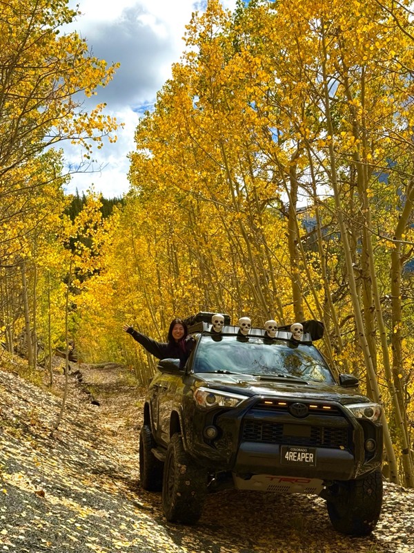
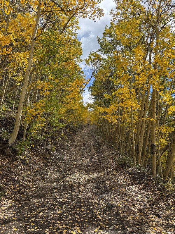
We honestly didn’t mean to take this road but ended up on this road on accident looking for a way to get from Georgia pass to Breck. The colors were amazing!! We came east to west so we were heading d...
V
Vince
Rated 5/5
Open
Visited: 09/18/2026
Beautiful trail. Fun whoops and a pretty rocky section. Would definitely recommend not taking the family sedan.
Wade Williams
Most Popular
Updated: 06/01/2024
West Fork Cimarron River
Ridgway, Colorado
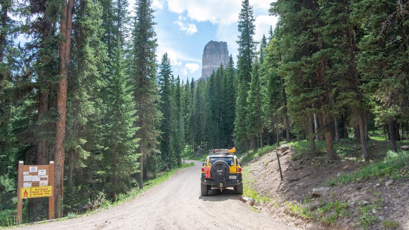
The West Fork of the Cimmaron River is packed with impressive Colorado views from a flowing river and iconic mountain landmarks. Chimney Rock is the big spire viewed from Ridgeway and is in the movie "True Grit," filmed in this location. This lofty and rocky peak will be your companion as you travel up the road along the West Fork Cimmaron River into the amazing Colorado backcountry, right where the Uncompahgre Wilderness Area begins. You can also discover the beginning of the Owl Creek Pass irrigation canal that flows down toward Silverjack Reservoir. At the very end of the trail, you will find the Wetterhorn foot trailhead, which would lead you to many 14rs (14,000' peaks) in the Uncompahgre Mountains. The camping is epic, and the scenery beyond compare. Plan on an afternoon of delight as you venture into a hidden valley at the end.
Updated: 07/21/2025
Wearyman Road
Red Cliff, Colorado
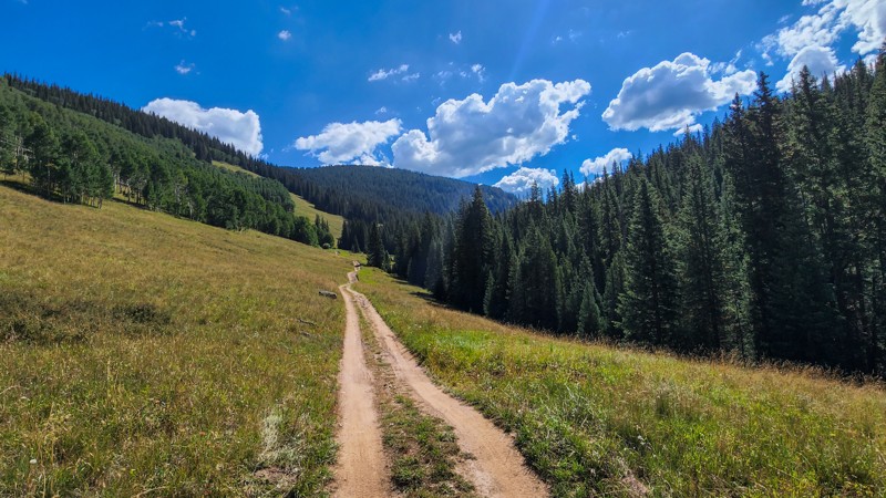
Located just west of Copper Mountain in the White River National Forest, Wearyman Road is a rugged 4x4 trail with steep climbs, tight pine forest, open alpine meadows, and panoramic views of the Gore Range on top of Ptarmigan Pass. The trail passes remains of old sawmills that once supplied nearby ranchers and farmers with building supplies in the early 1900s. Combine this trail with McAllister Gulch and Resolution Road to create an epic day full of views and history.

Updated: 02/14/2025
DS Road
Westwater, Colorado
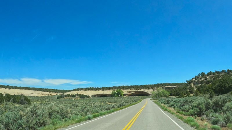
DS Road connects Ryan Creek Road and Triangle Road to Grand Junction. It is gravel on the west end and pavement on the east end. There are no campsites.
Updated: 06/09/2024
Woods Creek Road
Empire, Colorado
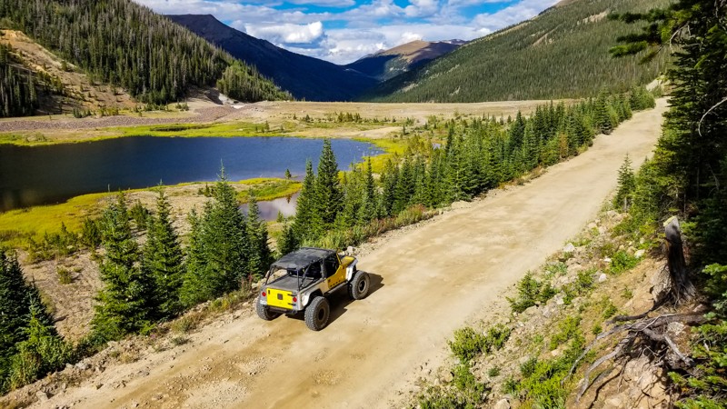
Woods Creek Road, near Berthod Pass above the town of Empire, is a short and leisurely drive through property owned by the Henderson/Climax Mine Company that leads to the Urad Lake Wildlife Area. Urad Lake has fantastic fishing and miles of excellent hiking terrain. There is remote high-elevation camping at and around the lake, but you must hike/backpack in to get there as no camping is allowed along the road itself. This area is also a beautiful place to see majestic wildlife. The mining company once owned Urad Lake, and due to overuse, was slated to be permanently closed in 2011. The valley remained closed for 2.5 years until Colorado Parks and Wildlife took over control and created the Urad Lake State Wildlife Area. The road reopened on June 15th, 2014.
Updated: 09/17/2026
Upper Reno Divide
Ashcroft, Colorado
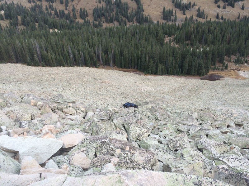
The Upper Reno Divide Alternate Route is an optional 3.25-mile side trip that offers a higher elevation option to cross the Reno Divide on the Italian Creek Trail. The route eventually meets back up with the main trail on the opposite side of the divide. This section is an extremely dangerous and rocky shelf road with loose talus rock. Several large boulders have fallen into the road (see photo), making the section near the summit extremely challenging. Your nerves will definitely be tested at this point. The haunting remains of a black vehicle are visible far below the road. There are limited passing options, so scout ahead. Do not attempt if you see another vehicle coming down or going up. This route is not for beginners or those scared of heights.
Updated: 06/09/2026
Texas Creek BLM Road 6040
Texas Creek, Colorado
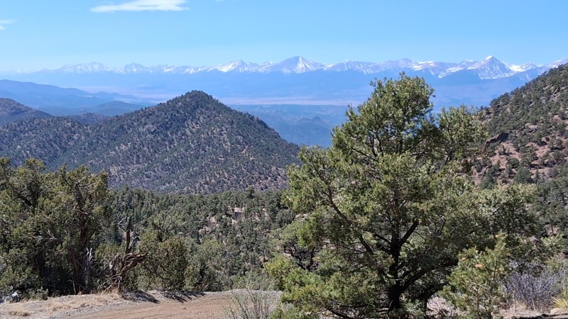
The longest, and arguably the most difficult and most scenic of the 4x4 roads in the Texas Creek OHV Area, BLM Road 6040 is the reason to visit this area. Over eight miles in length, this road gains 3,000 feet of elevation as it traverses a rocky canyon draw, a shelf road through forest, and the grassland plateau. From the shoulder of Table Mountain, expansive views to the southwest feature the magnificent Sangre de Cristo mountains.
Updated: 06/23/2024
Chicken Park
Red Feather Lakes, Colorado
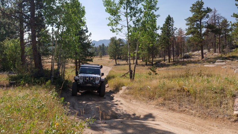
Devoid of Colorado's grandeur, Chicken Park is located near Red Feather Lakes, Colorado. Locals like this area for its fishing, camping, and rock formations. The rock formations are unique: they are soft-edged blobs of granite pushed up from the earth millions of years ago. Finding camping sites nestled in lodgepole, spruce, and aspen trees is easy on this trail, or if you are lucky enough to be there at the right time, you can camp right on the edge of Creedmore Lake. This is an excellent trail for leaf-peeping on a Sunday afternoon, and be sure to bring your fishing pole.
Updated: 04/20/2024
Seep Springs OHV Area- BLM Road 5830
Cañon City, Colorado
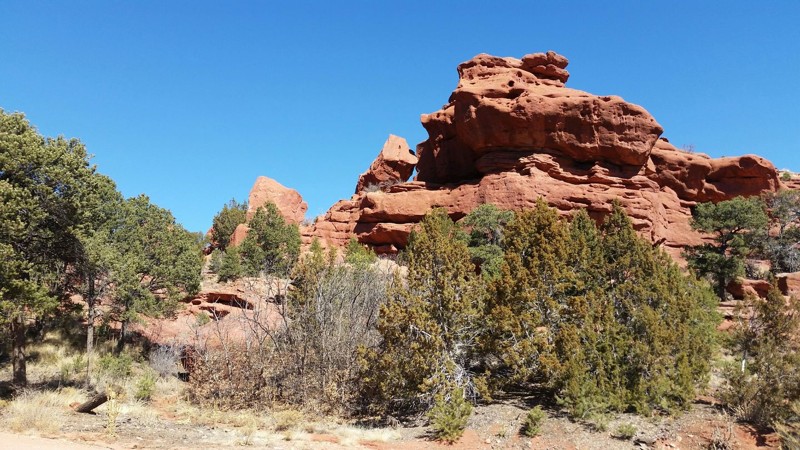
BLM Road 5830 is the main access for travelers to reach the vast network of trails within Seep Springs OHV Area. In its entirety Seep Springs OHV Area is a true off road jewel in Fremont County. This area offers many different pastimes from camping, to hiking, to even fossil hunting! This area is rich with fossil discoveries culminating in the nearby discovery of a complete Stegosaurus skeleton. Seep Springs OHV Area offers a vast network of established BLM roads and trails that are perfect for visitors to drive and explore or find that perfect little secluded camping spot while still keeping civilization within a short drive. The high desert nature of this area combined with the low levels of snowfall makes this area perfect for year round adventures.
Updated: 12/13/2023
Strawberry Road
Tabernash, Colorado
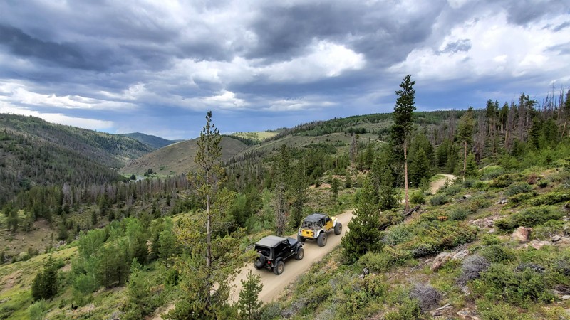
Located just outside of Tabernash, Colorado, Strawberry Road is a nice easy drive into the Strawberry Recreation Area. This area was designated a recreation area in 2015 due to its popularity and high visitation. This trail is popular with mountain bikers and hikers who use the road to access the Phases Trail system and one of the few public access points to the Fraser River. Strawberry Road is also extremely popular with campers, hunters, wildlife viewing, and solitude seekers.
Updated: 11/12/2025
Little Cottonwood Creek
Nathrop, Colorado
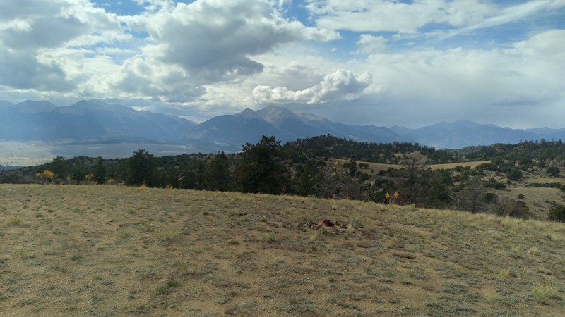
Little Cottonwood Creek (FS 185D) is a natural rollercoaster of a trail winding through stands of Ponderosa pine and aspen forest, with constant climbs, dips, and sweeping turns that reveal one jaw-dropping view after another, giving peaks of the Arkansas River Valley below and a stunning skyline of Colorado’s fourteen-thousand-foot peaks, such as Shavano, Tabeguache, Antero, and Princeton, standing proudly to the west.
Set between Salida and Buena Vista, this scenic route is part of the expansive Fourmile Recreation Area, a playground for outdoor adventure. It’s the kind of place where you can spend a morning exploring rugged forest roads, an afternoon rafting the Arkansas, and an evening relaxing beside a campfire under endless stars.
The surrounding terrain invites you to stay awhile with ample opportunities for hiking, mountain biking, fishing, and exploring nearby Brown’s Canyon National Monument. Every twist of Little Cottonwood Creek feels alive with that signature Colorado blend of wild beauty and endless possibility.
Updated: 07/10/2024
Halligan Reservoir
Red Feather Lakes, Colorado
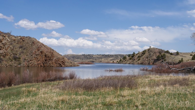
Halligan Reservoir is a manmade reservoir situated in Northern Colorado, and accessible via the Cherokee Middle Unit SWA (State Wildlife Area), which is governed by the Colorado Department of Parks and Wildlife. This trail leads you to the Southwest shore of Halligan Reservoir, which is the only publicly accessible portion of the reservoir. Halligan Reservoir was built in 1909 on the North Fork of the Poudre River by the North Poudre Irrigation Company (NPIC).
The water in Halligan Reservoir is owned by NPIC and used for irrigation. Currently, there is a proposal in the works called the Halligan Water Supply Project. If approved, the Halligan Water Supply Project will enlarge Halligan Reservoir by approximately 8,100 acre-feet to meet the demand of future Fort Collins Utilities' water customers and provide increased reliability for existing customers to help protect against service interruptions related to prolonged drought and other emergencies.
This trail is not the most exciting trail in the area, but it does provide access to some close-by fishing and kayaking to the local residents. If you are looking for a bit more excitement in the area, check out Turkey Roost, which is the harder of the two trails in this SWA. Please be cognizant of the signs put up on the banks of the shore as most of the land surrounding the water is not public.
Updated: 06/20/2024
Sledge Hammer
Lake George, Colorado
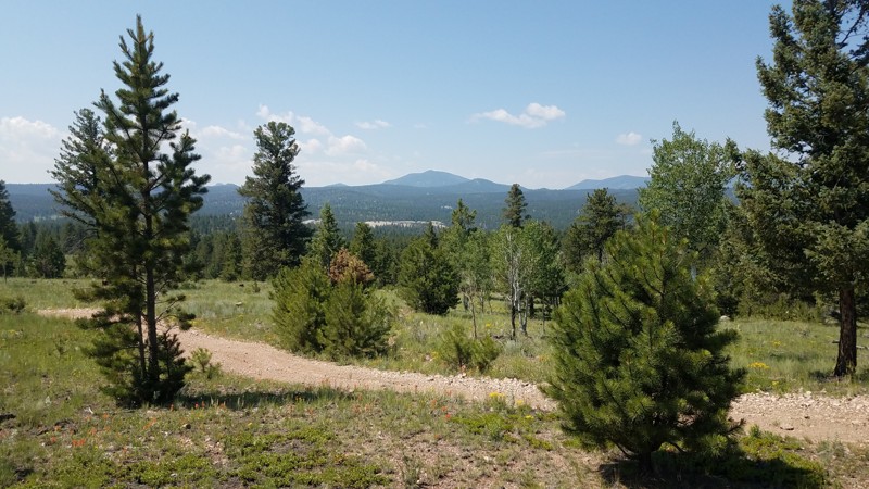
Sledge Hammer offers everything you've come to expect from the Pike National Forest: Dramatic outcrops of Pikes Peak granite, grassy meadows surrounded by sparse pine forest and aspen groves, and secluded campsites with views for miles.
Situated a few miles southeast of famous (and often crowded) Eleven Mile Canyon, this out-of-the-way trail network is a true hidden gem. Most summer days, you'd be hard-pressed to find two or three other rigs on the trail. The few established campsites are true havens of back-country peace and quiet.

Updated: 12/31/2024
Fourmile Area: Shields / McGee Loop
Buena Vista, Colorado
Miles of easy, winding roads with amazing views of the collegiate peaks on the west side and dispersed camping for tents, RVs, trailers, whatever you have. Most sites are in fir and aspen forests, but some are in open meadows that can accommodate larger groups. This area is close enough to Denver or Colorado Springs for an overnight camping trip, and the roads are fun for all sorts of off-road vehicles. Shields Gulch features campsites with stunning views of the Collegiate Peaks and the hills and valleys of the Fourmile area. McGee Gulch runs along a small valley with streams and marsh areas, cattle graze along the route. Campsites here offer more protection from wind than the exposed sites on the ridges of Shields Gulch, and are closer to the main route. Small water crossings and muddy spots add diversity to the drive, which is beautiful and easy. This area is popular with ATVs and horses because it is possible to bring large trailers in safely. There are non-motorized trails for mountain bikers, hikers and equestrians.


Updated: 07/08/2024
West Willow Road
Open
/
Creede, Colorado/
7.96 miles/
About an hour
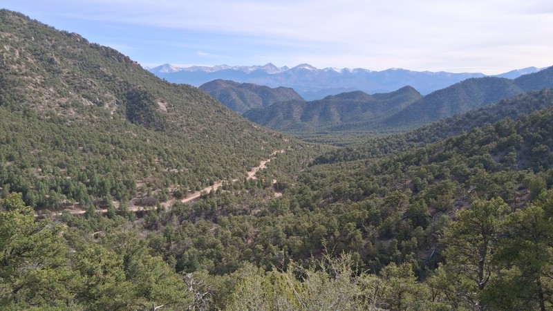
Located just north of Creede, traveling through the tight Willow Creek Canyon, West Willow Road is the eastern portion of the iconic Bachelor Loop Historic Driving Tour. This dirt road offers a captivating journey through rugged landscapes and past remnants of the region's once-booming mining industry. Travelers encounter numerous well-preserved historic sites, such as the Commodore Mine or the Underground Mining Museum, where you can delve into the fascinating stories of the miners who once toiled in these mountains. With breathtaking mountain views and intriguing glimpses into the past, West Willow Road is a memorable exploration of Creede's storied heritage.
Updated: 06/09/2026
Texas Creek OHV Area BLM Road 6060
Texas Creek, Colorado
BLM Road 6060 is a non-technical 4x4 road roughly midway between Canon City and Salida that takes you deep into the Texas Creek OHV area. It traverses semi-arid terrain and gains elevation through Juniper and Ponderosa forests. It features panoramic views of the Sangre de Christo mountains and some good dispersed campsites for small groups (3-4 vehicles). Surrounded by rugged mountains and rock formations, BLM Road 6060 is popular among several public lands user groups--4x4, motorcycle, ATV/UTV, hikers, bikers, and equestrians.
Updated: 09/09/2026
York Gulch
Downieville-Lawson-Dumont, Colorado
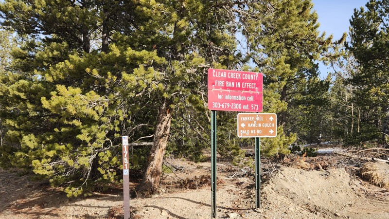
The main attraction for York Gulch is not the road, since it’s graded gravel, but the destination. The road is a main entry point into the Yankee Hill network of trails. It begins on Fall River Road, north and west of Idaho Springs, and ends at a 4-way intersection with Yankee Hill, Hamlin Gulch, and Bald Mountain Lane. Along the way, it passes through several residential areas with pretty cabins and impressive houses and provides nice views to the north near the top. There is no camping along York Gulch since it passes almost entirely through private property, but there is plenty of camping elsewhere in the Yankee Hill network.
Updated: 06/29/2024
Fourmile Area: Spanish Mills
Buena Vista, Colorado
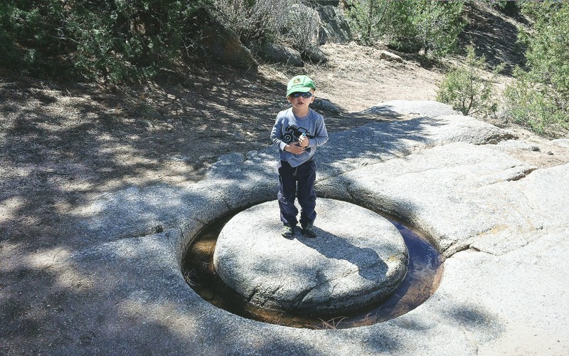
This trail winds back and forth over small washes with magnificent views of the 14,000' Collegiate Peaks before dropping into a sandy wash at a place known as Spanish Mills. Spanish Mills is the name locals have given this route as there is an old arrastra site (an arrastra is a primitive mill for grinding and pulverizing (typically) gold or silver ore) just down stream from where this trail crosses Fourmile Creek. Spanish Mills was built by area miners in the early 1900s and was later named after the mine operation was abandoned. Please respect private property in this area as the mine and old mill site sit on a patented mining claim. Spanish Mills is a connector trail which ends where the Lenhardy Cut-Off trail and the Natural Bridge trail begin.
Updated: 05/27/2024
Kokopelli Road
Fruita, Colorado
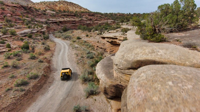
The Kokopelli Trail is a 142-mile backcountry route stretching from Moab, Utah, to Grand Junction, Colorado. Kokopelli Road is a popular section of the trail from I-70 to the Utah border. Get ready for an epic off-roading experience as you navigate through the sand, desert foliage, and sandstone monoliths with fantastic views at every turn. Closer to the state border, the terrain gets wild, with deep canyons formed by millions of years of erosion. These canyons give you an up-close view of the Colorado Plateau's ancient geology. Bring your camera because Kokopelli Road is a scenic and most easily accessible piece of the Kokopelli Trail.
Updated: 08/11/2026
Table Top Road
Parlin, Colorado
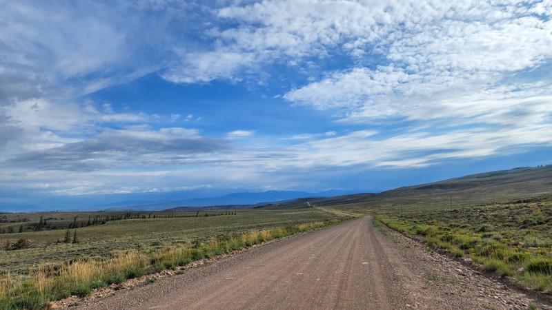
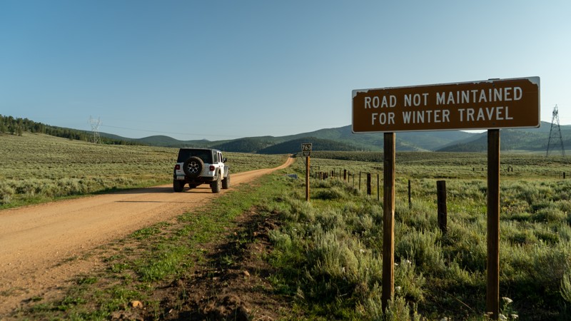
Located within the Gunnison BLM district southwest of Gunnison, Table Top Road is a high-speed dirt road that travels through two counties connecting Highway 145 and US 50. Posted speed limit signs are 45 MPH. The road traverses along the west side of Razor Creek Dome and provides access to dozens of other BLM roads in the area, many of which are used primarily for hunting and OHV recreation. This road is a short section of Section 3 (Lake City to Buena Vista) of the Colorado Backcountry Discovery Route (COBDR), a mostly off-road route across the entire state of Colorado from New Mexico to Wyoming.
Updated: 05/28/2024
Waunita Pass
Gunnison, Colorado
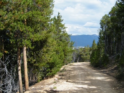
When you hear the words "pass" and "Colorado" used in the same sentence, you usually think of massive views, snowfields, and sometimes scary shelf roads. Not Waunita Pass! Waunita Pass is a gentle stroll starting in beautiful ranch land up and over a pass with continuous aspen and pine cover and dropping you into the quaint town of Pitkin. Furthering your adventure, you can go right through Pitken over to Cumberland Pass as part of your discovery route through Colorful Colorado!
Updated: 06/13/2024
Flume Creek
Leadville, Colorado
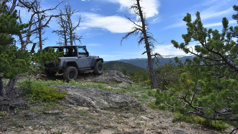
Part of the Pike-San Isabel National Forest, Flume Creek is a long spur trail off of Lost Canyon. It is an ideal off-road trail for the secluded weekend camper. With a variety of dispersed camping along the route, it is easy to find a quiet spot of seclusion or a large open area for you and your friends. With not much traffic, this dirt road meanders through dense forest with several Aspen Groves on its way to Flume Creek. Although Flume Creek empties into Twin Lakes, you cannot reach Twin Lakes from this trail. However, you can occasionally catch glimpses of it through the trees.
Updated: 06/05/2022
Swamp Creek Road
Red Feather Lakes, Colorado
Swamp Creek Road is one of the few forest service roads in Northern Colorado that is not gated during the winter and spring seasons. Swamp Creek is available for use while many other trails in the vicinity are closed to mitigate resource damage from the spring run-off. During winter and spring months, Swamp Creek offers some excellent opportunities to test your 4X4 through heavy and drifting snow. Popular with campers during the summer months, excellent dispersed camping with views of the mountains and the Poudre River Canyon makes this a great weekend destination. The ghost town of Manhattan, Colorado is located just south of the Swamp Creek Road trailhead.

Updated: 07/13/2024
Owl Mountain
Gould, Colorado
Owl Mountain is located south of Gould, Colorado, an area of the state famously known for its moose population. While traveling along in the area, keep an eye out for the giant creature as their population is abundant, and this easy offroad trek to the top of Owl Mountain will offer the opportunity to see them. The view of the Michigan River Valley from the top is worthy of a photo. Don't forget your camera.
Updated: 06/08/2024
Bald Mountain Road - Arapaho National Forest
Central City, Colorado
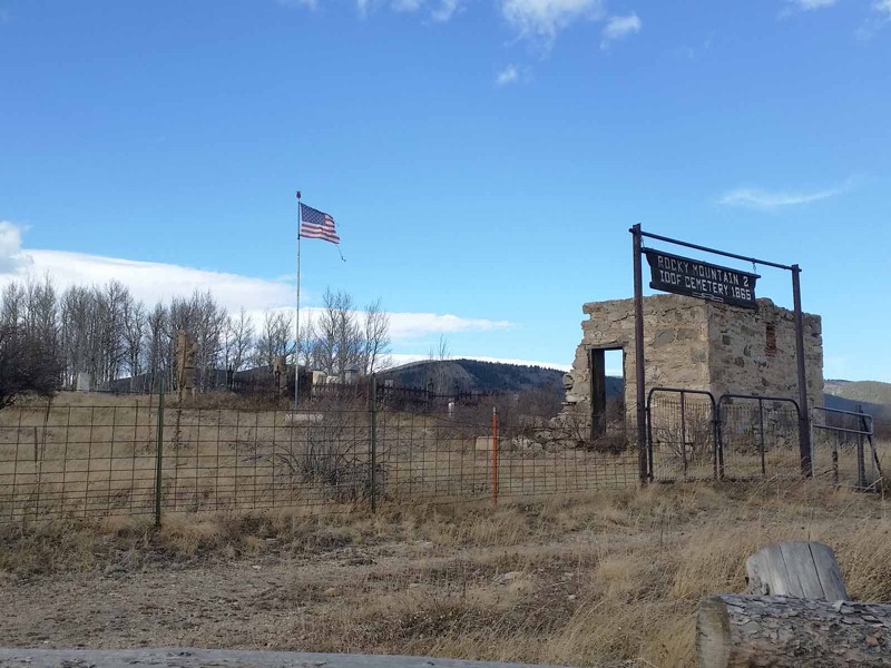
Bald Mountain Road was once a bustling supply road between the town of Central City and the outlaying mines. Now it is a sleepy back road through the scenic hills past private ranches and summer cabins. There are at least six cemeteries in the vicinity of the trailhead off of Bald Mountain Road, Columbine Campground Road and Upper Apex Road. The easiest one to see from Bald Mountain Road is the International Order of Odd Fellows Cemetery. You do pass several mines along the way but there is not much of them left to see or they are hidden back on private property. There are several well-preserved mines to see if you continue down Nevadaville Road. When combined with Bald Mountain Lane, Bald Mountain Road provides one of the main access points into the Yankee Hill network of 4x4 trails.

Upgrade your Membership
Unlock all of the details on every Trail Guide and Scout Route.
Start a 7-day Free TrialBrowse Trails in Colorado by City
Browse every Colorado city with offroad trail guides.
Community
Partners

