










By clicking "ACCEPT", you agree to be the terms and conditions of each policy linked to above. You also agree to the storing of cookies on your device to facilitate the operation and functionality of our site, enhance and customize your user experience, and to analyze how our site is used.
Utah Off-Road Trails
359
Total Trail Guides 334

4759
Detailed Waypoints 925
Try a Free 7-Day Trial and unlock it all
Start a Free Trial Most Recent Trail Reviews
Rated 5/5
Open
Visited: 09/25/2026
We drove this top to bottom in a 2025 Tundra on 34s. No real obstacles, just rough and steep.

SS
Sebastian S.
P
Peaks&Pixels
No Rating
Open
Visited: 09/24/2026
This trail has been graded recently and is now an easy trail.
IE
Ingrid Enyeart
Rated 5/5
Partially Open
Visited: 09/22/2026
The portion of the trail between the fork at 11 and the fork at 13 has two major ledges that have formed going into and out of the wash. Not sure what vehicle could overcome these. So just take the sc...


CI
Christine Irsik
Rated 4/5
Open
Visited: 09/22/2026
We enjoyed this trail and will definitely do it again. Gorgeous views at many points along the trail. We didn’t try The Wall, but everything else was just enough of a challenge for us and nice that m...
LF
Leslie F
No Rating
Open
Visited: 09/22/2026
Drove out here in a thunderstorm after doing dome plateau overlook. Epic camping. peaceful. unparalleled views. trail had two steep rocky sections I used 4wd low but probably didn't need to.

JR
jon ross
No Rating
Open
Visited: 09/21/2026
This is a short 2 mile of so cut off trail. Has a wash out with a by pass half way through.



Earl Neisler
Earl Neisler
Rated 2/5
Open
Visited: 09/21/2026
Pinstripe Alley nonstop for the first 4 miles. INo view to be had until waypoint 7. It was a beautiful view then we turned around. Should’ve read the reviews before we started the trail, because th...
LF
Leslie F
Rated 5/5
Open
Visited: 09/21/2026
This is a highlight for the trip. We stayed at waypoint10 for the night.


Earl Neisler
Rated 4/5
Open
Visited: 09/21/2026
Nice connector. The short out back was the hardest and not that short.


Earl Neisler
Rated 4/5
Open
Visited: 09/21/2026
A well maintained road. Found a nice camp site on the south in.
Earl Neisler

Jesse Martin
Jesse Martin
Rated 5/5
Open
Visited: 09/20/2026
Great area to go camping and gather for family reunions. There are multiple other trails that fork off throughout the trail to explore.

Dustin
Earl Neisler
Rated 5/5
Open
Visited: 09/20/2026
Only did apart due to time. This is 1 I will come back and finish.

Earl Neisler
Rated 3/5
Open
Visited: 09/20/2026
Not much to say it a slow easy. A good connecting trail.
Earl Neisler
No Rating
Open
Visited: 09/20/2026
We started just south of Cottonwood Canyon. We stop and looked but could not fine the rock art. The area was a nice to see all the green.


Earl Neisler
Rated 4/5
Open
Visited: 09/19/2026
Great trail, we drove through waypoints 24-35. Easy ride with a good amount of mud holes with few ruts on the stretch we drove. Would love to complete the whole trail at a later date.
Dustin
Rated 4/5
Open
Visited: 09/19/2026
Fun easy trail. Great way to get out and enjoy a relaxing trail ride to take in nature and see the fall colors.
Dustin
Rated 5/5
Open
Visited: 09/19/2026
Great Trail! The scenery was good with lots of wildlife. The trail was diverse that give drivers the opportunity to use both high and low four wheel drive. Trail has both wide and narrow areas.
Dustin
Rated 5/5
Open
Visited: 09/18/2026
I run this trail every year. Always fun and beautiful views. Fair amount of off camber sections.

Jeff Klaassen
Rated 5/5
Open
Visited: 09/18/2026
This was a good trail. The trail still had so flood damage but was passable. Highly recommended this. Has some all some view. We took 2 day to enjoy the ride and views.


Earl Neisler
No Rating
Open
Visited: 09/16/2026
Very fun, short trail. We did the loop but not Wipeout Hill. The sandy sections were a blast and there were a few ledges and obstacles that probably warrant a 5 but are still a fun challenge. We did i...



Mark Signorelli
Rated 4/5
Open
Visited: 09/15/2026
Ran this one and it's a decent stretch for anyone with a high clearance 4x4. The early sagebrush section had me watching my GPS track closely since the road nearly disappears a few times, but it alway...



Jay North
Official Crew
Rated 4/5
Open
Visited: 09/15/2026
Ran this as a quick add-on while working through the rest of the Red Hills network, and it's a fun one to knock out in under an hour. The wash crossing is the one spot where you actually have to think...


Jay North
Official Crew
Rated 3/5
Open
Visited: 09/15/2026
Ran this one on a dry afternoon and came away satisfied without being blown away. The rocky, rolling grade keeps things interesting without ever feeling out of reach for a stock high clearance rig, th...


Jay North
Official Crew
Rated 4/5
Open
Visited: 09/15/2026
Ran this one on an afternoon when I didn't have time for a full day out, and it delivered more than I expected for a short climb. The hill about a mile in makes you actually think about your line, and...


Jay North
Official Crew
Rated 4/5
Open
Visited: 09/13/2026
Red Peak Road is a short, easy cruise that's mostly smooth dirt with just enough texture to keep it interesting. There's a mild rough patch early on and a slightly rockier stretch past the halfway poi...


Jay North
Official Crew
Rated 2/5
Open
Visited: 09/13/2026
This is an easy, low-key cruise with a short technical bump right in the middle where it ties into the rest of the network, otherwise it is just packed dirt and gravel the whole way. Nothing here dema...


Jay North
Official Crew
Rated 4/5
Open
Visited: 09/13/2026
This one's an easy, mellow cruiser and it shows in how quick it feels behind the wheel. The rocky spots near the start and about two thirds up are barely worth mentioning, just some careful tire place...


Jay North
Official Crew
Rated 5/5
Open
Visited: 09/13/2026
This one's a fun add-on if you're already out in the area, easy enough for most of the way that a stock rig won't break a sweat, with just a couple of hard spots to keep things interesting. The washou...


Jay North
Official Crew
Rated 4/5
Open
Visited: 09/13/2026
A nice view of Kanab. Steepish and possibly slick when muddy. One spot has a small rock shelf. 4x4 recommended.


Ben Ruddell
Official Crew
Rated 3/5
Open
Visited: 09/13/2026
Easy, suitable for high clearance 2WD on a dry day, though four wheel drive earns its keep if the ground's been wet. The ruts along the way are mild and easy to place your tires around, and the two wa...


Jay North
Official Crew
No Rating
Open
Visited: 09/12/2026
Crazy no reviews since I ran it last May. We ran it again this time the whole trail out to the south overlook. It had rained the night before and into the morning. The rock dried up quick but a lot o...



Andrew Hotton
Rated 5/5
Open
Visited: 09/12/2026
Sand dunes. DANGER, you need to know your technique to head in here. It’s easy to misjudge slope and camber and get stuck or worse roll.


Ben Ruddell
Official Crew
Rated 3/5
Open
Visited: 09/12/2026
The section of the trail was rocky and rough - still fairly easy but the rockiest stretch.
WF
Wyatt Frampton
Rated 4/5
Open
Visited: 09/12/2026
This trail checks so, so many of the boxes -- hanging off a cliff, passing within 4" of rocks on BOTH sides at the same time on narrow sections, meaningful obstacles (ledges) where I smacked my hitch ...
IR
Isaac R
Rated 3/5
Open
Visited: 09/12/2026
This is an easy, high clearance 2WD road, easy enough that the drive itself isn't the draw. The shelf road stretch is mild and only about two jeeps wide, so keep an eye out for oncoming traffic, and t...


Jay North
Official Crew
Rated 2/5
Open
Visited: 09/12/2026
This is a mellow, low-stress drive that rewards a relaxed pace more than any technical challenge. Stock high clearance handled every mile without a second thought, and the surface stayed predictable e...


Jay North
Official Crew
Rated 5/5
Open
Visited: 09/11/2026
Great rest quick trail! Perfect for beginners, fun place for a picnic. The entrance and exit terrain to the tunnel changes depending on the weather and use. Very fun and interesting.


Dustin
Rated 4/5
Open
Visited: 09/11/2026
My route didn’t originally include this trail, but one of my crew broke on impossible hill and we had to limp back to civilization. This trail was beautiful and remote. Difficulty wise, no issues on t...



Dewie Jones
Official Crew
Rated 4/5
Open
Visited: 09/10/2026
Way better than I thought it would be. This was simply a connector trail for my unsuccessful (broken Toyota) Blanding to Moab overland trip. The trail is absolutely beautiful, relatively fast access, ...
Dewie Jones
Official Crew
Rated 3/5
Open
Visited: 09/10/2026
Easy enough that I did this road in pitch-black with just headlights (no light bar or anything) on the way to see sunrise from the end of the trail (Hurrah Pass). Really straightforward, just rocky li...
IR
Isaac R
Rated 4/5
Open
Visited: 09/10/2026
Incredibly beautiful road and not really rough at all -- I did a bunch of with fully-inflated tires. I know it's just a connector but honestly I would 100% come out here again to enjoy the views, hang...
IR
Isaac R
Rated 4/5
Temporary Closure
Visited: 09/10/2026
Deep mud around river crossing prevents passage. We came from Goblin Valley side, we were able to cross the river but there was deep mud on south side due to recent rains. Almost got stuck, had to go ...

Thomas A Youngerman
Rated 5/5
Open
Visited: 09/09/2026
Incredible bucket list trail that you must do if you can. DON'T do it in 1 day unless you like rushing it, unfortunately circumstances changed that required us to rush it. It's gorgeous and worth an o...



Sean Allen
Rated 5/5
Open
Visited: 09/09/2026
I built this into our rocklanding/overland route and really enjoyed the adventure. You can tell this isn’t well traveled which added to the experience. With that said, we’re trying to get to Moab from...


Dewie Jones
Official Crew
Thomas A Youngerman
Most Popular

Updated: 09/23/2026
New Castle-Pine Valley
Pine Valley, Utah
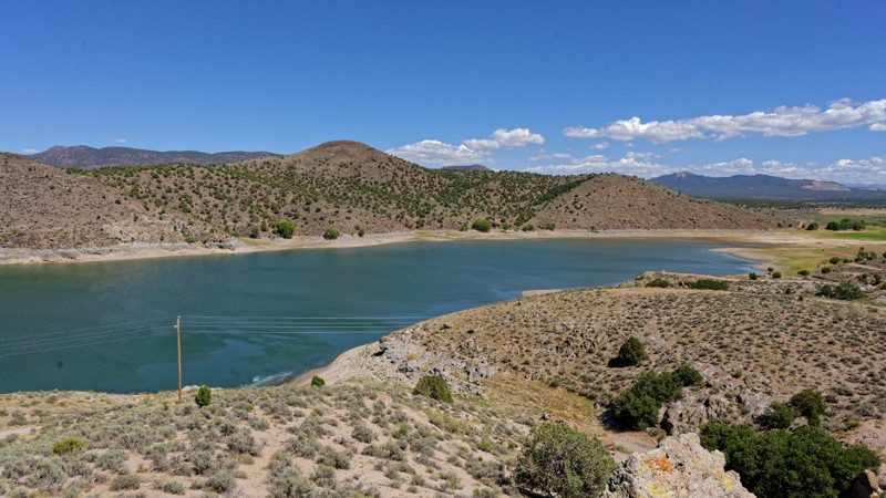
New Castle-Pine Valley Road functions as a low-key connector, linking the Pine Valley area to Newcastle by cutting straight through Grass Valley rather than following the paved routes around it. Drivers use it to experience the shift from pinyon-juniper foothills to open grassland without technical difficulty. One stretch narrows to a shelf road about two vehicles wide, so drivers should watch for oncoming traffic. Be cautious of land boundaries, as a few short sections cross private property, where staying on the established road is important.
Dispersed camping is scattered along the route in roughly five informal pullouts. The largest comfortably fits two rigs or a rig and trailer, and while several spots offer no shade or privacy, at least one has a bit of both. A sanitation station near the north end suggests additional dispersed camping nearby beyond what the road itself reveals.
The 2025 Forsyth Fire burned through the area, and the route still passes through a recovering burn scar with young replanted pines visible alongside the standing damage.
Updated: 09/23/2026
Red Hills South Road
Enoch, Utah
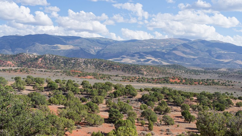
Red Hills South Road threads along the crest of the Red Hills, linking the north and south ends of the ridge and offering wide views back across Cedar Valley toward Cedar City and the Markagunt Plateau. It works well as a scenic connector between nearby routes rather than a standalone destination, with the layered red and tan rock bands standing out best in early morning or evening light.
The route is a moderate high clearance 4x4 trail, with a rocky, undulating surface that keeps traction interesting when dry. Most of it is a steady, one vehicle wide track with occasional passing spots, but two sections stand out: a rougher patch right at the start and a tougher stretch about a third of the way in, where the climb through the ridge is steepest.
Dispersed camping is available along the upper half of the road. One area fits two to three rigs and can accommodate a larger trailer, while a second, smaller pullout sits nearby. Neither offers shade or privacy, and the area is also popular for target shooting, so extra awareness is worthwhile on busy weekends.
Updated: 08/19/2026
103P
Kanab, Utah
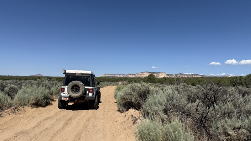
103P connects 102 and 103 to be used as part of a route across what is known as John R Flat. If you are driving east to west, the White Cliffs will provide a visual distraction to the jarring washboards. The road is suitable for any high-clearance vehicle in dry conditions. When wet, the wash crossing on the far eastern edge could be impassable.
No campsites exist along the route.
Updated: 09/23/2026
Black Rock Road
Enoch, Utah
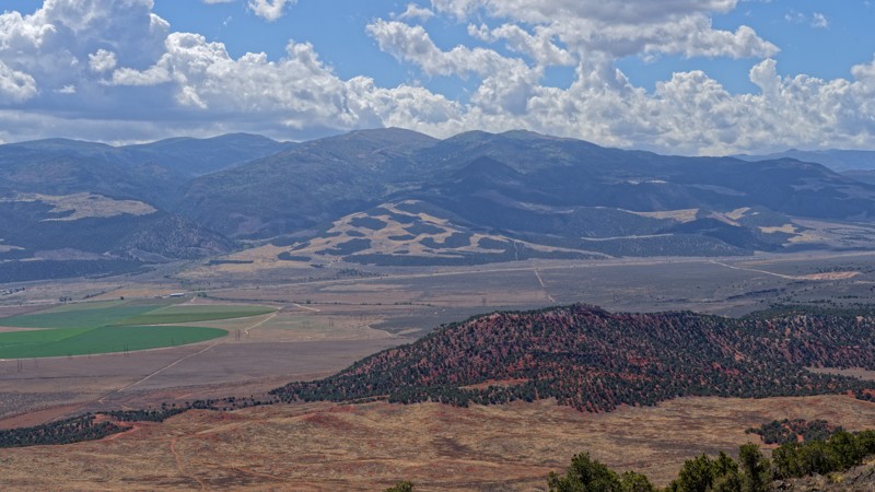
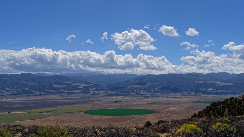
Black Rock Road is a half-day, out-and-back adventure that offers a rewarding climb to a lofty overlook near a cluster of radio towers. The roughly 6.7-mile trail begins mellow, following generally easy terrain suitable for high-clearance 2WD vehicles while steadily working toward the surrounding high country. However, the final climb becomes considerably tougher, with loose rock underfoot that calls for four-wheel drive. Just below the summit, drivers encounter a short but narrow shelf-road section stretching roughly 200 yards. At about a vehicle and a half wide, passing opportunities are limited, so watch ahead for approaching vehicles before committing to the climb or descent. The road ends at a popular turnaround near the radio towers, where there is enough room for several vehicles to gather and enjoy the expansive views before retracing the route.
Camping along Black Rock Road is limited. One shaded dispersed campsite can accommodate a single vehicle and offers a convenient place for a quiet overnight stay, though it sits directly along the road and provides little privacy from passing traffic. Despite appearing relatively spacious, the site's layout makes it difficult for larger rigs to maneuver into position.
Updated: 09/23/2026
Red Hills Radio Tower
Summit, Utah
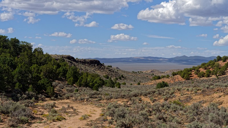
This road serves as a scenic out-and-back overlook of the Parowan area. It climbs gradually through sagebrush and juniper country to a high point looking east over Parowan, Parowan Gap, and Paragonah. High-clearance 2WD is sufficient, with stock vehicles able to work through a couple of minor rocky stretches, where careful tire placement helps avoid contact with larger stones.
Parowan Gap to the north has long served as significant ground for the Fremont and Southern Paiute people, marked by petroglyphs including the well known Zipper Glyph and dinosaur tracks dating back tens of millions of years. Paragonah, visible from the trail's end, was settled in the early 1850s by farmers from Parowan and was originally named Red Creek before its incorporation in 1916.
Suitable camping is not present on this road. Travelers looking to camp nearby will need to find a spot elsewhere in the area before or after the drive.
Updated: 09/23/2026
East Loop Red Hill South Trail Road
Summit, Utah
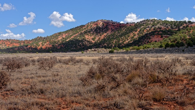
This loop offers a short, self-contained technical run within the broader Red Hills OHV network, making it a good choice for drivers who want to work in a quick obstacle-focused stretch rather than commit to a full day out. Since it returns near its own starting point, it pairs easily with other Red Hills routes in the same outing.
It's a moderate route that challenges the limits of a high clearance 4x4, and low range gearing is worth having on hand. The wash crossing partway through is the crux of the drive, requiring careful tire placement over loose rock and uneven ground, while the rest of the loop runs as a steady, single-lane two-track with limited room to pass oncoming traffic.
Suitable camping is not present on this road. The surrounding hills get their reddish color from iron-rich sandstone, the same deposits that gave Iron County its name after settlers found ore here in the 1850s, and the formation continues north to Parowan Gap, long used as a travel corridor by Fremont and Ancestral Puebloan people.
Updated: 09/23/2026
North Braffits Creek Road
Enoch, Utah
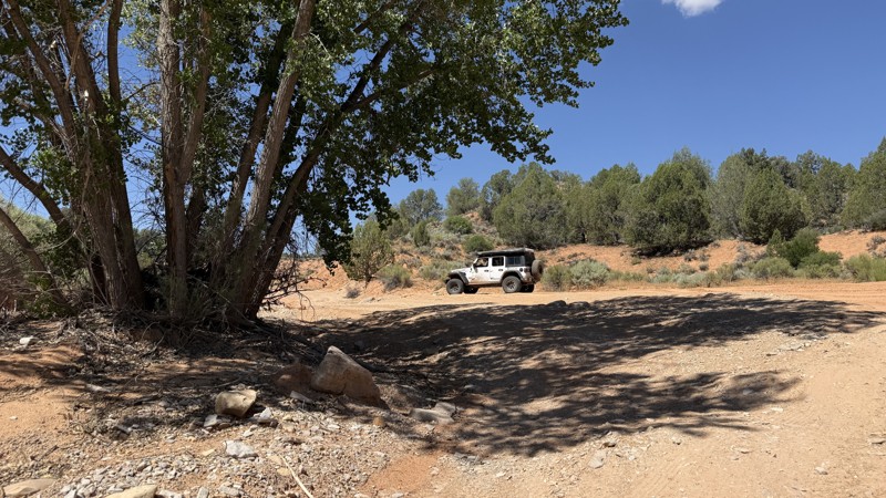
North Braffits Creek Road serves mainly as a connector, tying into a larger network of BLM routes at its midpoint and giving riders a way to link up a longer loop through the Red Peak area rather than functioning as a standalone destination. Stock high clearance 2WD vehicles handle most of the route without issue, though the midpoint section where the road joins the broader trail network is noticeably rougher and calls for a slower pace and careful line choice. Suitable camping is not present on this road, so plan to stage or camp elsewhere before or after the drive.
The west end terminates at a gated boundary crossing private property. The road appears passable beyond the gate according to state mapping, but continuing past it is at the driver's own risk and not part of the maintained public route.
Updated: 08/19/2026
102J
Orderville, Utah
102J connects 103P to 106C. From the west, it quickly drops into a flood zone before turning through tight vegetation with little to no room for passing. The western end eventually opens into a wider, meandering wash, where you will need to pick the line that seems most logical. The trail does not follow the road alignment depicted on most base maps.
High clearance is required, and 4WD may be necessary after a rain event. There is no camping along the route, and most of the trail crosses private land.
Avoid this trail during rain or when flash flood warnings are in effect, as it passes through a clearly flood-damaged area.
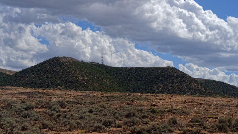
Updated: 09/23/2026
Drill Hole Road
Summit, Utah
Drill Hole Road offers a quick, moderate climb through Iron County's east bench, gaining elevation into pinyon and juniper cover as it leaves the high desert behind. Its short length makes it easy to pair with other nearby roads for a longer day, rather than serving as a standalone destination.
A technical spot sits right at the trailhead, followed about a mile in by a steeper hill climb where careful tire placement matters. Past the hill, a rocky, rutted stretch slows the pace and is worth taking slow. The rest of the drive is loose stone and short, steep pushes on a road that narrows to one lane through the rockier sections, with occasional room to pull over for oncoming traffic.
Suitable camping is not present on the trail.
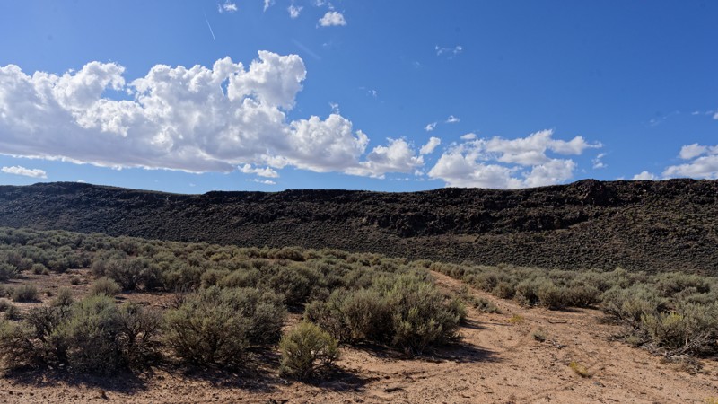
Updated: 09/23/2026
Cedar Pit Mine
Summit, Utah
Cedar Pit Mine Road offers a quiet alternative to the more heavily used OHV routes closer to Cedar City, threading through open sagebrush benches with little development in sight. Pronghorn and mule deer are commonly spotted along the way, and the route works well as a short solo or small-group run for drivers seeking solitude rather than a specific destination.
Low range comes in handy for the toughest stretch, where the track crosses open sagebrush and nearly disappears in places. A GPS track is recommended since the route can be tricky to follow without one. Deeper ruts appear later in the run, requiring careful line choice before the road smooths out for the remaining miles.
Suitable camping is not present on the road or trail.
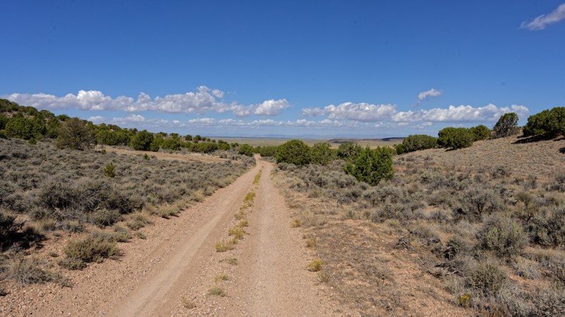
Updated: 09/23/2026
Braffits Creek Road
Enoch, Utah
Braffits Creek Road serves as an easy connector route through the Red Peak area, offering a quick way to reach the northern trailheads and drainages branching off Braffits Creek without requiring a dedicated 4x4. Its short length and gentle grades make it a practical warm up or return route for a half day loop rather than a destination in itself.
The two washes near the northern end are the only real point of concern, and while the deeper of the pair is passable for 2WD on a dry day, four wheel drive is recommended if the ground is wet.
Suitable camping is not present on this road, so those planning an overnight will need to look elsewhere in the surrounding area.
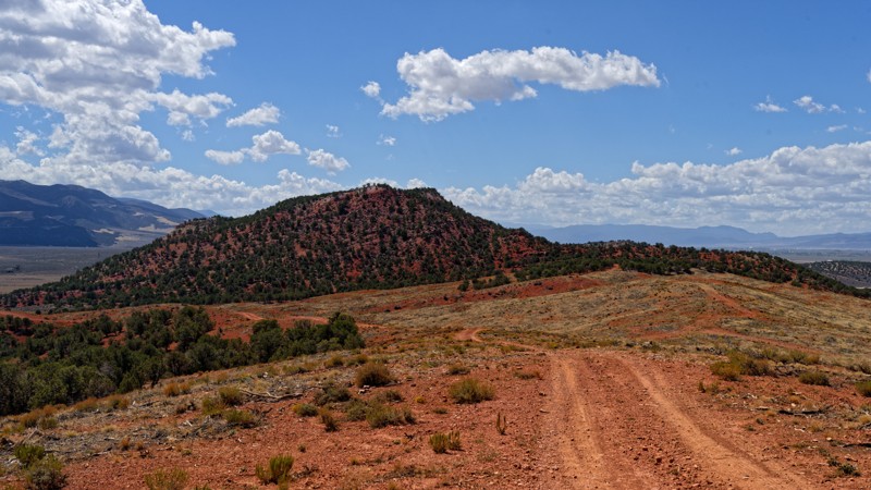
Updated: 09/23/2026
Red Peak Road
Summit, Utah
Red Peak Road serves as a quick connector route through BLM rangeland, useful for a short scenic loop or an evening drive without committing to a longer trip. The descent is gradual enough that most of the drive is straightforward, with two brief rough patches, a low-speed rocky section partway down and a slightly more technical stretch farther along, that break up an otherwise easy grade. Neither obstacle demands anything beyond stock ground clearance.
The one point worth watching for is well down the route, where the road narrows and brush closes in on both sides; drivers of longer or wider rigs should slow down there to avoid pinstriping. Suitable camping is not present on this road, so it functions better as a through drive than a basecamp option.

Upgrade your Membership
Unlock all of the details on every Trail Guide and Scout Route.
Start a 7-day Free TrialBrowse Trails in Utah by City
Browse every Utah city with offroad trail guides.
Community
Partners

