
The Barracks Trail (12.13 miles away)
Orderville, Utah
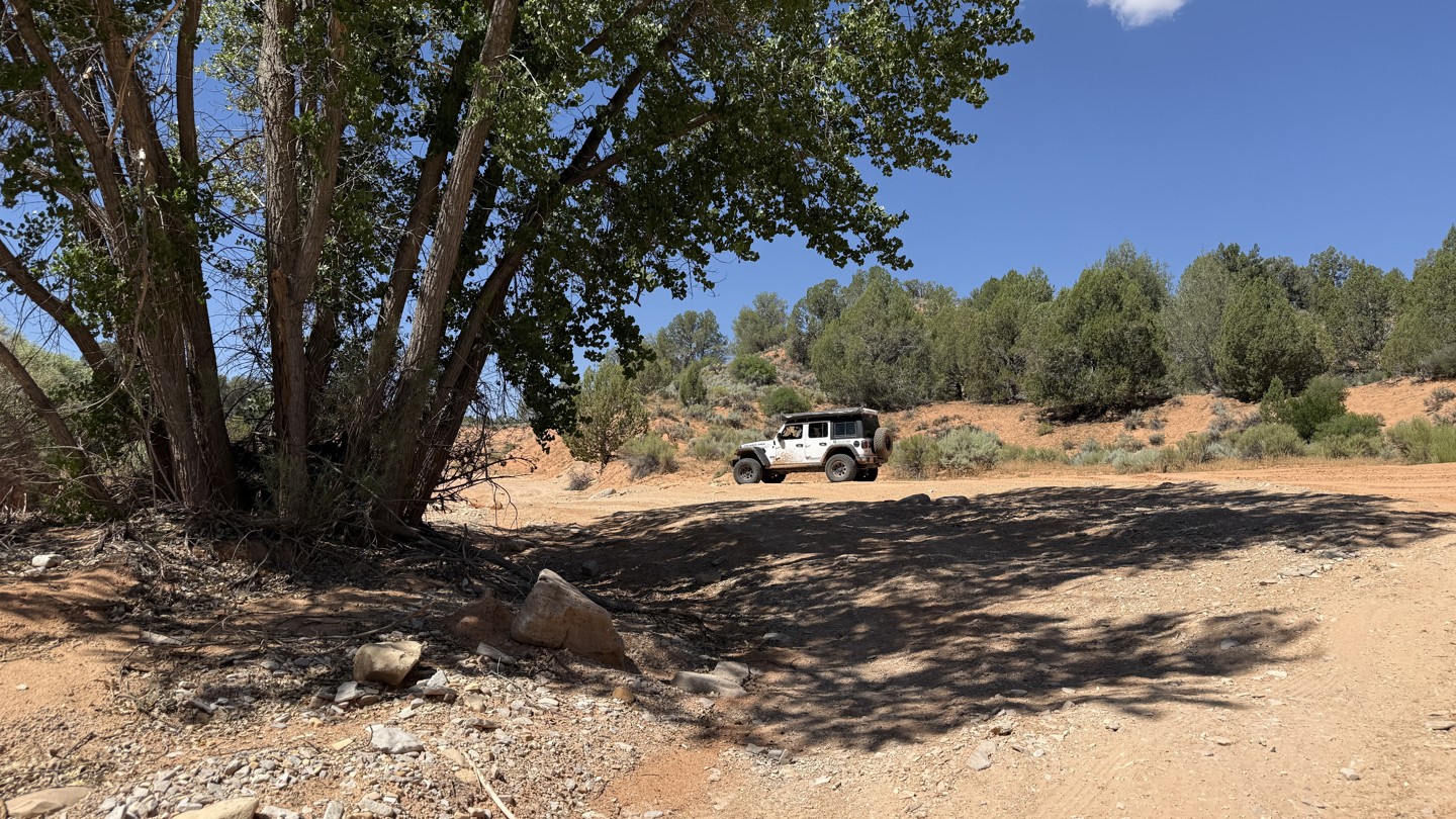

102J connects 103P to 106C. From the west, it quickly drops into a flood zone before turning through tight vegetation with little to no room for passing. The western end eventually opens into a wider, meandering wash, where you will need to pick the line that seems most logical. The trail does not follow the road alignment depicted on most base maps.
High clearance is required, and 4WD may be necessary after a rain event. There is no camping along the route, and most of the trail crosses private land.
Avoid this trail during rain or when flash flood warnings are in effect, as it passes through a clearly flood-damaged area.

