










By clicking "ACCEPT", you agree to be the terms and conditions of each policy linked to above. You also agree to the storing of cookies on your device to facilitate the operation and functionality of our site, enhance and customize your user experience, and to analyze how our site is used.
Utah Off-Road Trails
359
Total Trail Guides 334

4759
Detailed Waypoints 925
Try a Free 7-Day Trial and unlock it all
Start a Free Trial Most Recent Trail Reviews
Rated 5/5
Open
Visited: 09/25/2026
We drove this top to bottom in a 2025 Tundra on 34s. No real obstacles, just rough and steep.

SS
Sebastian S.
P
Peaks&Pixels
No Rating
Open
Visited: 09/24/2026
This trail has been graded recently and is now an easy trail.
IE
Ingrid Enyeart
Rated 5/5
Partially Open
Visited: 09/22/2026
The portion of the trail between the fork at 11 and the fork at 13 has two major ledges that have formed going into and out of the wash. Not sure what vehicle could overcome these. So just take the sc...


CI
Christine Irsik
Rated 4/5
Open
Visited: 09/22/2026
We enjoyed this trail and will definitely do it again. Gorgeous views at many points along the trail. We didn’t try The Wall, but everything else was just enough of a challenge for us and nice that m...
LF
Leslie F
No Rating
Open
Visited: 09/22/2026
Drove out here in a thunderstorm after doing dome plateau overlook. Epic camping. peaceful. unparalleled views. trail had two steep rocky sections I used 4wd low but probably didn't need to.

JR
jon ross
No Rating
Open
Visited: 09/21/2026
This is a short 2 mile of so cut off trail. Has a wash out with a by pass half way through.



Earl Neisler
Earl Neisler
Rated 2/5
Open
Visited: 09/21/2026
Pinstripe Alley nonstop for the first 4 miles. INo view to be had until waypoint 7. It was a beautiful view then we turned around. Should’ve read the reviews before we started the trail, because th...
LF
Leslie F
Rated 5/5
Open
Visited: 09/21/2026
This is a highlight for the trip. We stayed at waypoint10 for the night.


Earl Neisler
Rated 4/5
Open
Visited: 09/21/2026
Nice connector. The short out back was the hardest and not that short.


Earl Neisler
Rated 4/5
Open
Visited: 09/21/2026
A well maintained road. Found a nice camp site on the south in.
Earl Neisler

Jesse Martin
Jesse Martin
Rated 5/5
Open
Visited: 09/20/2026
Great area to go camping and gather for family reunions. There are multiple other trails that fork off throughout the trail to explore.

Dustin
Earl Neisler
Rated 5/5
Open
Visited: 09/20/2026
Only did apart due to time. This is 1 I will come back and finish.

Earl Neisler
Rated 3/5
Open
Visited: 09/20/2026
Not much to say it a slow easy. A good connecting trail.
Earl Neisler
No Rating
Open
Visited: 09/20/2026
We started just south of Cottonwood Canyon. We stop and looked but could not fine the rock art. The area was a nice to see all the green.


Earl Neisler
Rated 4/5
Open
Visited: 09/19/2026
Great trail, we drove through waypoints 24-35. Easy ride with a good amount of mud holes with few ruts on the stretch we drove. Would love to complete the whole trail at a later date.
Dustin
Rated 4/5
Open
Visited: 09/19/2026
Fun easy trail. Great way to get out and enjoy a relaxing trail ride to take in nature and see the fall colors.
Dustin
Rated 5/5
Open
Visited: 09/19/2026
Great Trail! The scenery was good with lots of wildlife. The trail was diverse that give drivers the opportunity to use both high and low four wheel drive. Trail has both wide and narrow areas.
Dustin
Rated 5/5
Open
Visited: 09/18/2026
I run this trail every year. Always fun and beautiful views. Fair amount of off camber sections.

Jeff Klaassen
Rated 5/5
Open
Visited: 09/18/2026
This was a good trail. The trail still had so flood damage but was passable. Highly recommended this. Has some all some view. We took 2 day to enjoy the ride and views.


Earl Neisler
No Rating
Open
Visited: 09/16/2026
Very fun, short trail. We did the loop but not Wipeout Hill. The sandy sections were a blast and there were a few ledges and obstacles that probably warrant a 5 but are still a fun challenge. We did i...



Mark Signorelli
Rated 4/5
Open
Visited: 09/15/2026
Ran this one and it's a decent stretch for anyone with a high clearance 4x4. The early sagebrush section had me watching my GPS track closely since the road nearly disappears a few times, but it alway...



Jay North
Official Crew
Rated 4/5
Open
Visited: 09/15/2026
Ran this as a quick add-on while working through the rest of the Red Hills network, and it's a fun one to knock out in under an hour. The wash crossing is the one spot where you actually have to think...


Jay North
Official Crew
Rated 3/5
Open
Visited: 09/15/2026
Ran this one on a dry afternoon and came away satisfied without being blown away. The rocky, rolling grade keeps things interesting without ever feeling out of reach for a stock high clearance rig, th...


Jay North
Official Crew
Rated 4/5
Open
Visited: 09/15/2026
Ran this one on an afternoon when I didn't have time for a full day out, and it delivered more than I expected for a short climb. The hill about a mile in makes you actually think about your line, and...


Jay North
Official Crew
Rated 4/5
Open
Visited: 09/13/2026
Red Peak Road is a short, easy cruise that's mostly smooth dirt with just enough texture to keep it interesting. There's a mild rough patch early on and a slightly rockier stretch past the halfway poi...


Jay North
Official Crew
Rated 2/5
Open
Visited: 09/13/2026
This is an easy, low-key cruise with a short technical bump right in the middle where it ties into the rest of the network, otherwise it is just packed dirt and gravel the whole way. Nothing here dema...


Jay North
Official Crew
Rated 4/5
Open
Visited: 09/13/2026
This one's an easy, mellow cruiser and it shows in how quick it feels behind the wheel. The rocky spots near the start and about two thirds up are barely worth mentioning, just some careful tire place...


Jay North
Official Crew
Rated 5/5
Open
Visited: 09/13/2026
This one's a fun add-on if you're already out in the area, easy enough for most of the way that a stock rig won't break a sweat, with just a couple of hard spots to keep things interesting. The washou...


Jay North
Official Crew
Rated 4/5
Open
Visited: 09/13/2026
A nice view of Kanab. Steepish and possibly slick when muddy. One spot has a small rock shelf. 4x4 recommended.


Ben Ruddell
Official Crew
Rated 3/5
Open
Visited: 09/13/2026
Easy, suitable for high clearance 2WD on a dry day, though four wheel drive earns its keep if the ground's been wet. The ruts along the way are mild and easy to place your tires around, and the two wa...


Jay North
Official Crew
No Rating
Open
Visited: 09/12/2026
Crazy no reviews since I ran it last May. We ran it again this time the whole trail out to the south overlook. It had rained the night before and into the morning. The rock dried up quick but a lot o...



Andrew Hotton
Rated 5/5
Open
Visited: 09/12/2026
Sand dunes. DANGER, you need to know your technique to head in here. It’s easy to misjudge slope and camber and get stuck or worse roll.


Ben Ruddell
Official Crew
Rated 3/5
Open
Visited: 09/12/2026
The section of the trail was rocky and rough - still fairly easy but the rockiest stretch.
WF
Wyatt Frampton
Rated 4/5
Open
Visited: 09/12/2026
This trail checks so, so many of the boxes -- hanging off a cliff, passing within 4" of rocks on BOTH sides at the same time on narrow sections, meaningful obstacles (ledges) where I smacked my hitch ...
IR
Isaac R
Rated 3/5
Open
Visited: 09/12/2026
This is an easy, high clearance 2WD road, easy enough that the drive itself isn't the draw. The shelf road stretch is mild and only about two jeeps wide, so keep an eye out for oncoming traffic, and t...


Jay North
Official Crew
Rated 2/5
Open
Visited: 09/12/2026
This is a mellow, low-stress drive that rewards a relaxed pace more than any technical challenge. Stock high clearance handled every mile without a second thought, and the surface stayed predictable e...


Jay North
Official Crew
Rated 5/5
Open
Visited: 09/11/2026
Great rest quick trail! Perfect for beginners, fun place for a picnic. The entrance and exit terrain to the tunnel changes depending on the weather and use. Very fun and interesting.


Dustin
Rated 4/5
Open
Visited: 09/11/2026
My route didn’t originally include this trail, but one of my crew broke on impossible hill and we had to limp back to civilization. This trail was beautiful and remote. Difficulty wise, no issues on t...



Dewie Jones
Official Crew
Rated 4/5
Open
Visited: 09/10/2026
Way better than I thought it would be. This was simply a connector trail for my unsuccessful (broken Toyota) Blanding to Moab overland trip. The trail is absolutely beautiful, relatively fast access, ...
Dewie Jones
Official Crew
Rated 3/5
Open
Visited: 09/10/2026
Easy enough that I did this road in pitch-black with just headlights (no light bar or anything) on the way to see sunrise from the end of the trail (Hurrah Pass). Really straightforward, just rocky li...
IR
Isaac R
Rated 4/5
Open
Visited: 09/10/2026
Incredibly beautiful road and not really rough at all -- I did a bunch of with fully-inflated tires. I know it's just a connector but honestly I would 100% come out here again to enjoy the views, hang...
IR
Isaac R
Rated 4/5
Temporary Closure
Visited: 09/10/2026
Deep mud around river crossing prevents passage. We came from Goblin Valley side, we were able to cross the river but there was deep mud on south side due to recent rains. Almost got stuck, had to go ...

Thomas A Youngerman
Rated 5/5
Open
Visited: 09/09/2026
Incredible bucket list trail that you must do if you can. DON'T do it in 1 day unless you like rushing it, unfortunately circumstances changed that required us to rush it. It's gorgeous and worth an o...



Sean Allen
Rated 5/5
Open
Visited: 09/09/2026
I built this into our rocklanding/overland route and really enjoyed the adventure. You can tell this isn’t well traveled which added to the experience. With that said, we’re trying to get to Moab from...


Dewie Jones
Official Crew
Thomas A Youngerman
Most Popular

Updated: 01/15/2026
Last Chance Cutoff
Whipup, Utah
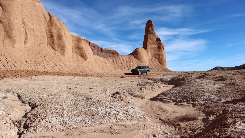
An easy, but sandy crossover between Last Chance Road and Lower Last Chance Loop, The Cutoff has a few scenic surprises along the way. While no camping to be found, there are a couple of scenic points that are unique to this trail. Choosing to cross over here, instead of the Ivy bench, you get a smoother and more scenic ride. In dry conditions, the sand can be soft, but it's graded fairly often, helping compact the surface.
Updated: 03/09/2026
D1244
Moab, Utah
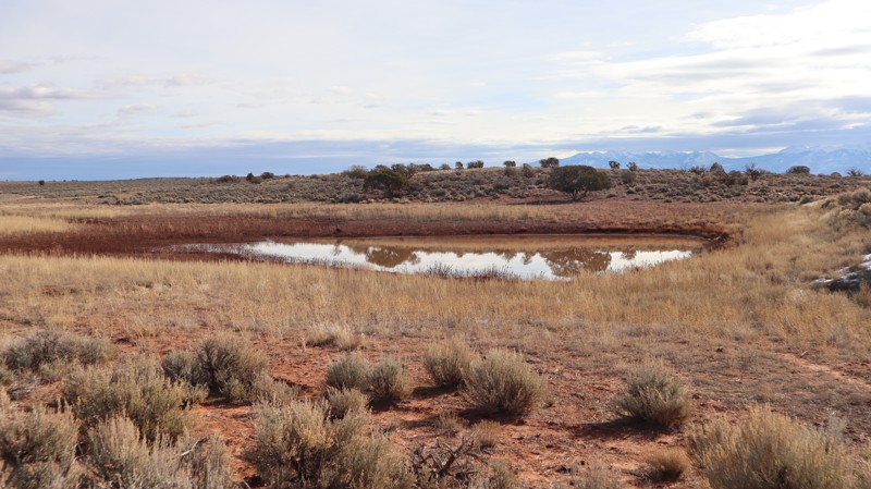
D1244 is an easy 1.7-mile two-track prairie crossing that offers access to an old reservoir. Connected with D1238, it's a convenient way to avoid pavement and connect with other trails. Do not attempt this trail in wet conditions as the clay becomes extremely sticky and slick. The trail requires durable tires and high clearance. It's sandy, rutted, and a little rocky, but finding the southern trailhead may prove most difficult. The bushes are thick, hiding the trail's course at the large intersection. Camping is nonexistent across this prairie region bordering the parks. Abundant camping can be found further west across CR-143.
Updated: 10/15/2024
Verde Mounds
Victor, Utah
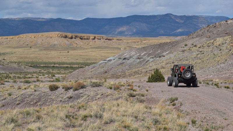
Verde Mounds is an easy scenic crossover along the northern edge of the San Rafael Swell, offering sprawling views of the valleys leading to the Book Cliffs. The trail crosses broad meadows where pronghorn antelope and cattle graze on the rolling grassy mounds named after a long-forgotten town. In dry conditions, the trail is passable in 2WD vehicles equipped with durable tires for the chunky corrugated gravel. No established campsites were found on this windswept route.
Updated: 10/15/2024
FS1056
Milburn, Utah
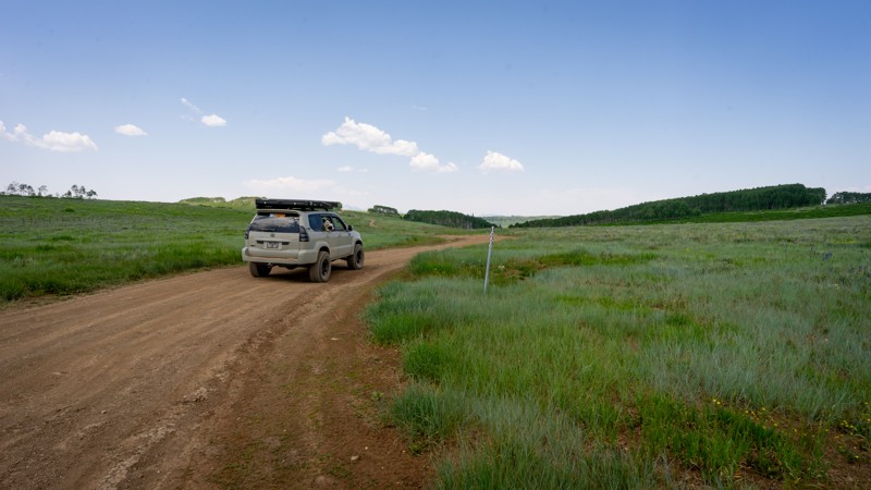
FS1056 is one of many spur roads off North Skyline Drive. As the hard-packed dirt road winds over the rolling meadows, you might notice that the physical route doesn't particularly match the MVUM (Motorized Vehicle Usage Map) for this district, but it is very clear where you should be headed. Multiple large campsites are dotted throughout the aspen and can be very popular with large trailers, especially during summer holiday weekends. The loop and end stem of the track do get narrow and brushy, with pin striping possible. The big draw of this trail is the campsites.
Updated: 08/11/2026
Chalk Creek Canyon
Fillmore, Utah
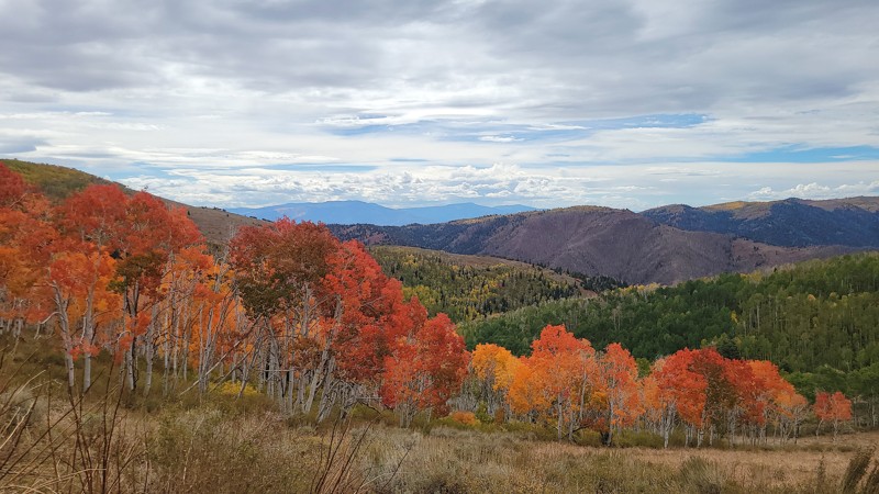
About halfway, you're likely to lose count of how many switchbacks you've done on Chalk Creek Canyon. The views are quick and always on an angle as you twist through dense trees, and along narrow ledges above a ruggedly picturesque canyon. During late September and early October, the fall colors line almost the entire 17 miles, with the summit colors being some of the best in Utah. In the lower elevations above the town of Filmore, UT, you will find numerous day-use sites along the always-flowing Chalk Creek. There are wonderful shady sites in the canyon for family picnics and camping at Pistol Rock. Beyond and above these sites, the trail becomes much steeper and more narrow. 4x4, high clearance, and durable tires are required for the long, bumpy hills. Along the entire route, camping can be found at numerous primitive sites. The trail does not have firm closure dates but rather an average open date range. The opening is based on "dry" trail conditions.
Updated: 04/10/2026
Temple Wash
Hanksville, Utah
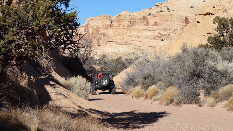
While you won't have to fold in your mirrors, the canyon is a unique 4x4 experience. Temple Wash is one of the few remaining opportunities to drive into the San Rafael Reef canyons. Left natural, you navigate up the sand and rock wash where you will find numerous wonderful campsites tucked off to the side, or at the end of the included spur trail. The trail ends abruptly, with little room for turning around. You will need 4x4 high clearance, skid protection, and durable tires. There are vertical rock ledges 10-12" tall and super soft sand. Most of the campsites are single back-in, cot, or roof-top-tent types. Early into the trail, there is a large open camping area for 3-4 vehicles with tents. Where the trail guide ends is the strict boundary.
Updated: 10/15/2024
FS3102
Milburn, Utah
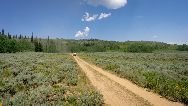
FS3102 is one of many spur roads off North Skyline Drive. Almost immediately, the trail looks promising as you reach the hardest part, a loose and rocky descent. This is certainly a deterrent for those towing a large trailer. As the track continues, you'll drop down roughly 200 feet in elevation into a green, shrubby valley that may end up filled with grazing cattle. Despite what the MVUM (Motorized Vehicle Use Map) depicts, the trail ends at a buck-and-rail fence, making this an out-and-back drive. No campsites were spotted.
Updated: 09/24/2025
Sunnyside Coke Ovens
East Carbon, Utah
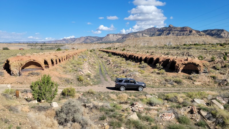
In the early 1900's the Columbia Coke Ovens were used to convert coal into coke, a very hot burning fuel that was used in early metal smelters across the country. Now known as the Sunnyside Coke Ovens, operations ended in 1958, where the site was abandoned for years. The historic site, including a train depot, has been preserved by the Castle Country OHV Trail System. The 15-foot-tall domes have had their fronts removed for the safety of visitors. The area and entire site is accessible in all vehicle types, but the campground access can be a little rough for passenger cars. The FREE camping is a small loop with multiple primitive sites in the scrub brush, and there is one vault toilet near the camping area.
Updated: 02/05/2026
Mill Canyon
Moab, Utah
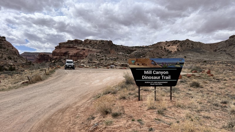
Mill Canyon is a quick side-trip trail to see dinosaur bones and an excellent view of the Determination Towers in the distance, which are along the Sevenmile Rim Trail. The bones are a short walk from the parking lot and are from a plant-eating dinosaur, the Saurpod. They have become fossilized and embedded in the rock and are visible along the easy hike. No camping along this trail, and the parking lot has plenty of space for your group.
Updated: 10/15/2024
FS1043
Milburn, Utah
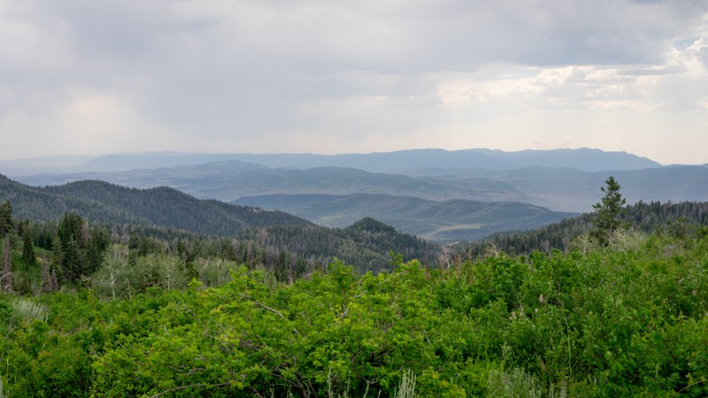
From the road of North Skyline, FS1043 is marked at one end by a clear signpost and a well-established rock fire ring at the other. From the signpost, the trail looks like a promising two-track that wanders back toward a gathering of aspen. Once wrapping around the aspen, rather than proceeding along the ridge, the trail circles through the trees and arrives back at North Skyline, making this an extremely short track with a single campsite. The trail has nothing more than a few small rocks to meander over.
Updated: 03/16/2026
D1052
Moab, Utah
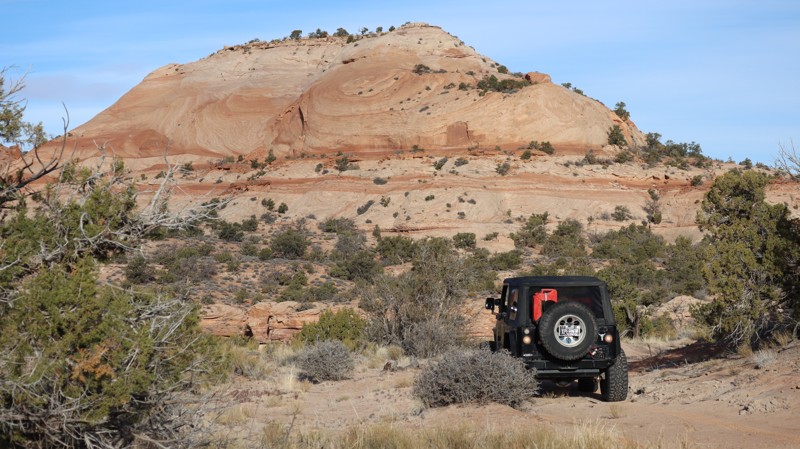
D1052 is a short but slightly challenging option for accessing the Taylor Canyon area trails. Beginning from the south, it's the last legal trail before Canyonlands National Park. Traveling south to north means you will be traversing the obstacles downhill, making it the easiest direction. You will need a 4x4 low-range vehicle with high clearance, skid plate protection, and durable off-road tires to safely navigate the entire trail. There are loose dirt hills with 8-12" rock ledges and a deep, off-camber washout that requires a traction aid of some sort. You can easily tip into the deep trench with an improper line. Camping is not permitted along this trail, but excellent camping can be found along the nearby Rough Canyon Rim.
Updated: 03/09/2026
D1240
Moab, Utah
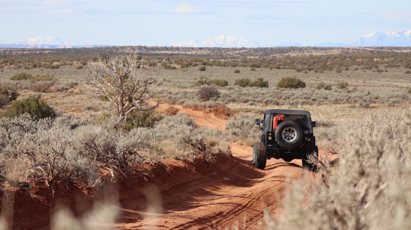
Travelling across the Utah prairie land, D1240 is a 1.7-mile crossover with one small campsite. The crossing begins from the east as a gravel road leading to a drill station before branching off onto a deep rutted two-track. The sand is hard-packed, and the ruts get "tippy" at points. You won't have to worry about pinstripes, and it's all 2WD high clearance, unless it's wet. The lone scenic campsite, on a large sandstone slab, is legally a 1/2 mile from the eastern trailhead, and a nice, quick campsite for a night.
Updated: 04/10/2026
Roost House
Hanksville, Utah
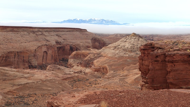
Roost House, also known as Robber's Roost, is a remote labyrinth of canyons and the hiding place for the Butch Cassidy Gang. With hundreds of twisting canyons, the Dirty Devil Wilderness Study is a canyoneering paradise. The advanced hiking trails can be accessed at various points along this route. The trail is semi-graded and passable in high-clearance 2WD, all the way to the trail end overlook. Camping is abundant at the numerous overlook campsites. Numerous campsites are quite large, with space for an overland group or an individual vehicle with a tent.
Updated: 04/10/2026
Boulder Bridge
Moab, Utah
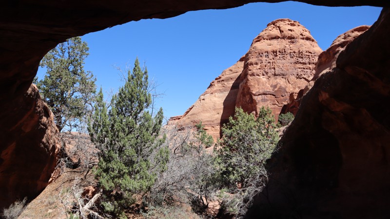
A wonderful addition to any visit to Utah, Boulder Bridge is a very "cool" spot hidden back in the red rock cliffs. At the end is a truly memorable campsite and a short scramble hike to the fornamed arch, with a massive boulder sitting on top. The sandy 1/4-mile trail is easy enough in high-clearance 2WD; all the trails leading out there are more difficult. Be sure to explore around on foot to find the shady spots to have lunch on a hot day.
Updated: 10/15/2024
Baptist Draw Cutoff
Hanksville, Utah
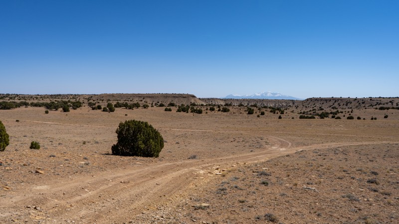
Jumping from Baptist Draw to Wild Horse Canyon, this tame trail follows a dirt two-track up and over a small hill. There is little in the way to slow vehicles down other than a few small patches of loose gravel. 4WD is not needed to zip through this short jumper. Despite its open and relatively flat nature, no camping is offered along this trail. There are a number of dispersed sites off of McKay Flat or Baptist Draw.
Updated: 08/13/2026
Major Evans
Alta, Utah
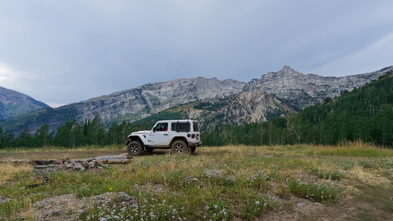
Major Evans Road climbs up a series of tight switchbacks before settling onto a mellow shelf road through timber and meadow. The lower half, cut into the mountainside, is the technical portion of the drive, running through a dozen closely stacked switchbacks with a handful of narrow pinch points and one off-camber section tilted 12 to 15 degrees. Above the switchbacks the grade eases considerably and the road becomes a relaxed cruise past several camping spurs, with Milk Maid Trail visible across the drainage near the road's hardest turn and a view of Aspen Grove from a spur near the top. The road ends at a locked gate posted by Utah County, with a small turnaround and a view back down the canyon.
The road stays one vehicle wide for most of its length with only occasional pull-outs, and several of the lower switchbacks are tight enough that four-door rigs will need to back up and re-angle to get around. Three dispersed camping spurs are spread along the upper half of the road. One is shaded and offers some privacy tucked just off the main line. The largest, on a ridge top with open mountain views, comfortably fits three to four rigs and trailers are not allowed. A third, smaller spur near the top looks out over an aspen grove. American Fork Canyon is a Forest Service fee area, so a valid recreation pass or day-use fee is required to drive up to the trailhead.
Updated: 10/15/2024
San Rafael Desert 9211
Green River, Utah
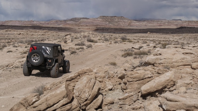
This short connecting trail allows you to continue your overland adventure, avoiding driving on Highway 24. It is easy enough for 4x4, high clearance vehicles with durable tires. The colorful hills create a Kodachrome backdrop while you bounce across the barren desert. Established campsites were not found along this route but are just around the corner along Old Green River Highway.
Updated: 12/18/2024
126
Boulder, Utah
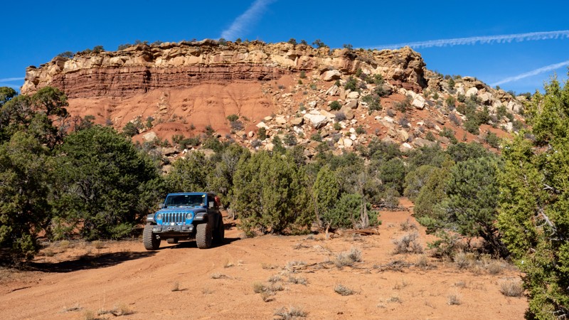
Branching off Lampstand Road, 126 is a short and sweet spur providing numerous camping options away from the more popular sites located close to the Burr Trail. There are no obstacles, and this trail is occasionally graded, so the only obstacles you may encounter are ruts and washouts from recent rain storms. Any vehicle with decent ground clearance will be able to complete this short spur. Campsites are dotted among the shady juniper and pinyon trees and are generally large enough for 1-2 vehicles with tents.
Updated: 10/15/2024
FS1352
Milburn, Utah
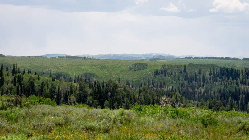
FS1352 is one of many spur roads off North Skyline Drive, giving access to multiple large campsites that can be very popular with large trailers, especially during summer holiday weekends. Both forks of the trail get narrow and brushy, with pin striping very likely. Each fork ends at a fence line where turning around requires a multi-point turn. The forks are NOT suggested for trailers or very large vehicles. The main draw of FS1352 is definitely the campsites located before the fork.
Updated: 04/10/2026
Bull Pasture
Hanksville, Utah
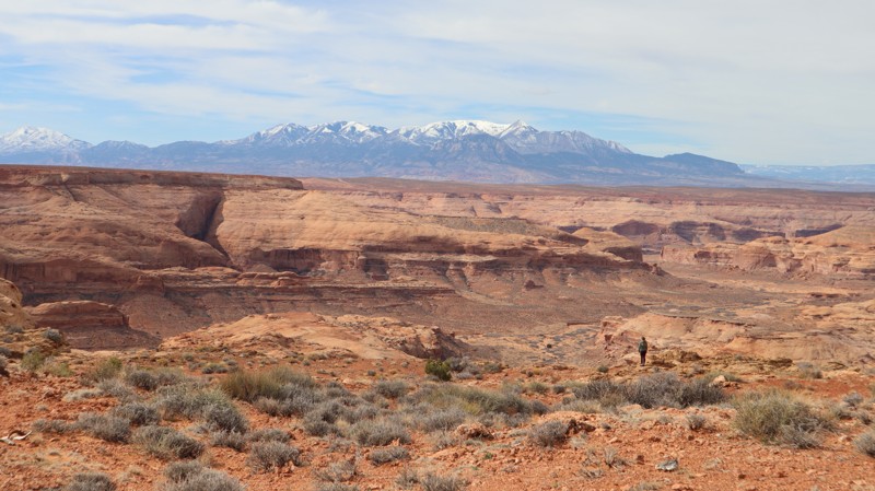
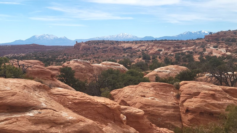
Located within the Robber's Roost region of the San Rafael Desert, Bull Pasture has been used for cattle grazing land since the first settlers. Nearby Bull Pasture Canyon is considered an excellent beginner-level technical hiking canyon. It's relatively short but features a scenic exit through deep-walled canyons. The driving trail is a mix of hard pack sand and sandstone slabs. It's bumpy, but it can be completed in high-clearance 2WD with durable tires. Camping is abundant and peaceful at the numerous campsites found at small pull-off-type sites.
Updated: 03/16/2026
The Pinnacles
Hanksville, Utah
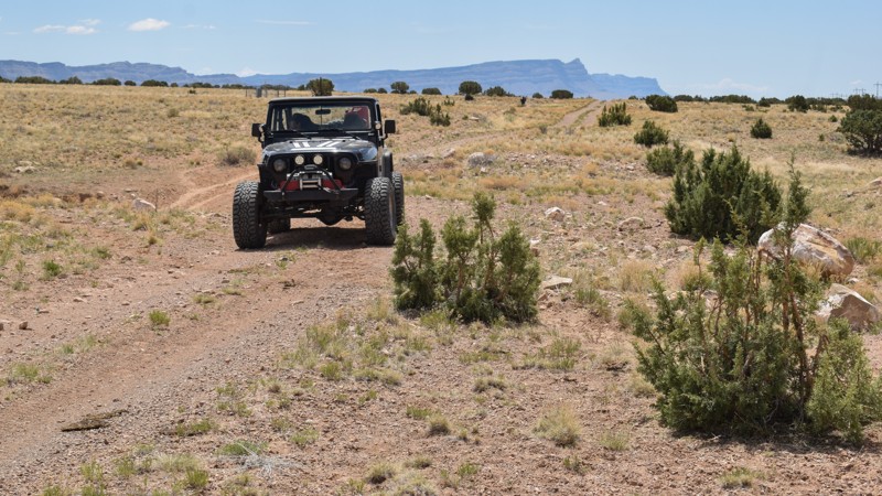
The Pinnacles is an area of colorful rock formations along the edge of the plateau. Tucked back at the end of trail 1172 is a fun and picturesque area of colorful sandstone. The trail drops down onto a deep-sand two-track, with tight pinstripe trees. There is one vertical rock ledge on a loose sand hill. The obstacle requires 4x4 low-range and high ground clearance, but is not difficult. Just after dropping down the ledge, you will find one small sandy campsite with amazing views. The maze of sandstone rocks at the trail end is fun to explore on foot and a wonderful place to take an extended break outside the vehicle.
Updated: 10/15/2024
Old Highway Road
East Carbon, Utah
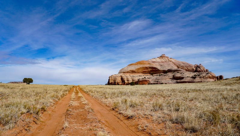
Once an old highway, it allows you to continue your overland adventure along the eastern edge of The Swell. Traveling along the decommissioned highway, cows are now more frequented along this short connector between Cedar Bypass and Price River Road. The asphalt has been torn up and left in piles along the trail. The old bridges have collapsed, exposing the old layers of asphalt and timbers. The trail has no obstacles but will be impassable in wet conditions. No camping or services were found along the route.
Updated: 02/24/2026
Taylor Canyon Rim
Moab, Utah
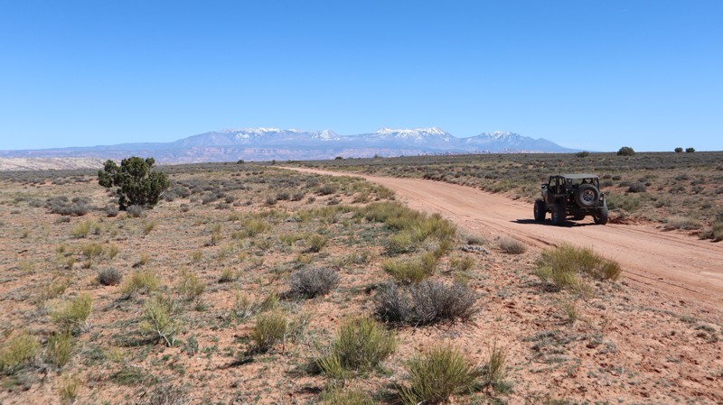
Taylor Canyon Rim is a reasonably mellow trail that once kissed the edges of Canyonlands National Park in Utah’s high desert. This dirt trail offers a diverse terrain that used to end at a rewarding overlook of Taylor Canyon, but closures in 2023 have cut the trail short. The trail runs along a sandy plateau with occasional rocky inclines. It’s said that on a clear day, it’s possible to see as far as the Henry Mountains to the west. This 4x4 trail provides access to the quiet backcountry and little-used campsites. Make sure to pack for the unexpected, as you are not likely to see much company.
There are no major obstacles along this trail, though high clearance vehicles are required. Rock ledges can reach up to 14 inches. Though the narrow road allows for a single vehicle, there is frequently space to the side for safe passing.
Updated: 04/10/2026
Little Canyon Road
Moab, Utah
Little Canyon Road is just over 2 miles of graded dirt and gravel. The road has sporadic cross ruts and washouts on the shoulder. There was no camping found on this windy, wide-open cattle land. Abundant camping can be found along the western portion of Gemini Bridges.

Upgrade your Membership
Unlock all of the details on every Trail Guide and Scout Route.
Start a 7-day Free TrialBrowse Trails in Utah by City
Browse every Utah city with offroad trail guides.
Community
Partners

