










By clicking "ACCEPT", you agree to be the terms and conditions of each policy linked to above. You also agree to the storing of cookies on your device to facilitate the operation and functionality of our site, enhance and customize your user experience, and to analyze how our site is used.
Utah Off-Road Trails
359
Total Trail Guides 334

4759
Detailed Waypoints 925
Try a Free 7-Day Trial and unlock it all
Start a Free Trial Most Recent Trail Reviews
Rated 5/5
Open
Visited: 09/25/2026
We drove this top to bottom in a 2025 Tundra on 34s. No real obstacles, just rough and steep.

SS
Sebastian S.
P
Peaks&Pixels
No Rating
Open
Visited: 09/24/2026
This trail has been graded recently and is now an easy trail.
IE
Ingrid Enyeart
Rated 5/5
Partially Open
Visited: 09/22/2026
The portion of the trail between the fork at 11 and the fork at 13 has two major ledges that have formed going into and out of the wash. Not sure what vehicle could overcome these. So just take the sc...


CI
Christine Irsik
Rated 4/5
Open
Visited: 09/22/2026
We enjoyed this trail and will definitely do it again. Gorgeous views at many points along the trail. We didn’t try The Wall, but everything else was just enough of a challenge for us and nice that m...
LF
Leslie F
No Rating
Open
Visited: 09/22/2026
Drove out here in a thunderstorm after doing dome plateau overlook. Epic camping. peaceful. unparalleled views. trail had two steep rocky sections I used 4wd low but probably didn't need to.

JR
jon ross
No Rating
Open
Visited: 09/21/2026
This is a short 2 mile of so cut off trail. Has a wash out with a by pass half way through.



Earl Neisler
Earl Neisler
Rated 2/5
Open
Visited: 09/21/2026
Pinstripe Alley nonstop for the first 4 miles. INo view to be had until waypoint 7. It was a beautiful view then we turned around. Should’ve read the reviews before we started the trail, because th...
LF
Leslie F
Rated 5/5
Open
Visited: 09/21/2026
This is a highlight for the trip. We stayed at waypoint10 for the night.


Earl Neisler
Rated 4/5
Open
Visited: 09/21/2026
Nice connector. The short out back was the hardest and not that short.


Earl Neisler
Rated 4/5
Open
Visited: 09/21/2026
A well maintained road. Found a nice camp site on the south in.
Earl Neisler

Jesse Martin
Jesse Martin
Rated 5/5
Open
Visited: 09/20/2026
Great area to go camping and gather for family reunions. There are multiple other trails that fork off throughout the trail to explore.

Dustin
Earl Neisler
Rated 5/5
Open
Visited: 09/20/2026
Only did apart due to time. This is 1 I will come back and finish.

Earl Neisler
Rated 3/5
Open
Visited: 09/20/2026
Not much to say it a slow easy. A good connecting trail.
Earl Neisler
No Rating
Open
Visited: 09/20/2026
We started just south of Cottonwood Canyon. We stop and looked but could not fine the rock art. The area was a nice to see all the green.


Earl Neisler
Rated 4/5
Open
Visited: 09/19/2026
Great trail, we drove through waypoints 24-35. Easy ride with a good amount of mud holes with few ruts on the stretch we drove. Would love to complete the whole trail at a later date.
Dustin
Rated 4/5
Open
Visited: 09/19/2026
Fun easy trail. Great way to get out and enjoy a relaxing trail ride to take in nature and see the fall colors.
Dustin
Rated 5/5
Open
Visited: 09/19/2026
Great Trail! The scenery was good with lots of wildlife. The trail was diverse that give drivers the opportunity to use both high and low four wheel drive. Trail has both wide and narrow areas.
Dustin
Rated 5/5
Open
Visited: 09/18/2026
I run this trail every year. Always fun and beautiful views. Fair amount of off camber sections.

Jeff Klaassen
Rated 5/5
Open
Visited: 09/18/2026
This was a good trail. The trail still had so flood damage but was passable. Highly recommended this. Has some all some view. We took 2 day to enjoy the ride and views.


Earl Neisler
No Rating
Open
Visited: 09/16/2026
Very fun, short trail. We did the loop but not Wipeout Hill. The sandy sections were a blast and there were a few ledges and obstacles that probably warrant a 5 but are still a fun challenge. We did i...



Mark Signorelli
Rated 4/5
Open
Visited: 09/15/2026
Ran this one and it's a decent stretch for anyone with a high clearance 4x4. The early sagebrush section had me watching my GPS track closely since the road nearly disappears a few times, but it alway...



Jay North
Official Crew
Rated 4/5
Open
Visited: 09/15/2026
Ran this as a quick add-on while working through the rest of the Red Hills network, and it's a fun one to knock out in under an hour. The wash crossing is the one spot where you actually have to think...


Jay North
Official Crew
Rated 3/5
Open
Visited: 09/15/2026
Ran this one on a dry afternoon and came away satisfied without being blown away. The rocky, rolling grade keeps things interesting without ever feeling out of reach for a stock high clearance rig, th...


Jay North
Official Crew
Rated 4/5
Open
Visited: 09/15/2026
Ran this one on an afternoon when I didn't have time for a full day out, and it delivered more than I expected for a short climb. The hill about a mile in makes you actually think about your line, and...


Jay North
Official Crew
Rated 4/5
Open
Visited: 09/13/2026
Red Peak Road is a short, easy cruise that's mostly smooth dirt with just enough texture to keep it interesting. There's a mild rough patch early on and a slightly rockier stretch past the halfway poi...


Jay North
Official Crew
Rated 2/5
Open
Visited: 09/13/2026
This is an easy, low-key cruise with a short technical bump right in the middle where it ties into the rest of the network, otherwise it is just packed dirt and gravel the whole way. Nothing here dema...


Jay North
Official Crew
Rated 4/5
Open
Visited: 09/13/2026
This one's an easy, mellow cruiser and it shows in how quick it feels behind the wheel. The rocky spots near the start and about two thirds up are barely worth mentioning, just some careful tire place...


Jay North
Official Crew
Rated 5/5
Open
Visited: 09/13/2026
This one's a fun add-on if you're already out in the area, easy enough for most of the way that a stock rig won't break a sweat, with just a couple of hard spots to keep things interesting. The washou...


Jay North
Official Crew
Rated 4/5
Open
Visited: 09/13/2026
A nice view of Kanab. Steepish and possibly slick when muddy. One spot has a small rock shelf. 4x4 recommended.


Ben Ruddell
Official Crew
Rated 3/5
Open
Visited: 09/13/2026
Easy, suitable for high clearance 2WD on a dry day, though four wheel drive earns its keep if the ground's been wet. The ruts along the way are mild and easy to place your tires around, and the two wa...


Jay North
Official Crew
No Rating
Open
Visited: 09/12/2026
Crazy no reviews since I ran it last May. We ran it again this time the whole trail out to the south overlook. It had rained the night before and into the morning. The rock dried up quick but a lot o...



Andrew Hotton
Rated 5/5
Open
Visited: 09/12/2026
Sand dunes. DANGER, you need to know your technique to head in here. It’s easy to misjudge slope and camber and get stuck or worse roll.


Ben Ruddell
Official Crew
Rated 3/5
Open
Visited: 09/12/2026
The section of the trail was rocky and rough - still fairly easy but the rockiest stretch.
WF
Wyatt Frampton
Rated 4/5
Open
Visited: 09/12/2026
This trail checks so, so many of the boxes -- hanging off a cliff, passing within 4" of rocks on BOTH sides at the same time on narrow sections, meaningful obstacles (ledges) where I smacked my hitch ...
IR
Isaac R
Rated 3/5
Open
Visited: 09/12/2026
This is an easy, high clearance 2WD road, easy enough that the drive itself isn't the draw. The shelf road stretch is mild and only about two jeeps wide, so keep an eye out for oncoming traffic, and t...


Jay North
Official Crew
Rated 2/5
Open
Visited: 09/12/2026
This is a mellow, low-stress drive that rewards a relaxed pace more than any technical challenge. Stock high clearance handled every mile without a second thought, and the surface stayed predictable e...


Jay North
Official Crew
Rated 5/5
Open
Visited: 09/11/2026
Great rest quick trail! Perfect for beginners, fun place for a picnic. The entrance and exit terrain to the tunnel changes depending on the weather and use. Very fun and interesting.


Dustin
Rated 4/5
Open
Visited: 09/11/2026
My route didn’t originally include this trail, but one of my crew broke on impossible hill and we had to limp back to civilization. This trail was beautiful and remote. Difficulty wise, no issues on t...



Dewie Jones
Official Crew
Rated 4/5
Open
Visited: 09/10/2026
Way better than I thought it would be. This was simply a connector trail for my unsuccessful (broken Toyota) Blanding to Moab overland trip. The trail is absolutely beautiful, relatively fast access, ...
Dewie Jones
Official Crew
Rated 3/5
Open
Visited: 09/10/2026
Easy enough that I did this road in pitch-black with just headlights (no light bar or anything) on the way to see sunrise from the end of the trail (Hurrah Pass). Really straightforward, just rocky li...
IR
Isaac R
Rated 4/5
Open
Visited: 09/10/2026
Incredibly beautiful road and not really rough at all -- I did a bunch of with fully-inflated tires. I know it's just a connector but honestly I would 100% come out here again to enjoy the views, hang...
IR
Isaac R
Rated 4/5
Temporary Closure
Visited: 09/10/2026
Deep mud around river crossing prevents passage. We came from Goblin Valley side, we were able to cross the river but there was deep mud on south side due to recent rains. Almost got stuck, had to go ...

Thomas A Youngerman
Rated 5/5
Open
Visited: 09/09/2026
Incredible bucket list trail that you must do if you can. DON'T do it in 1 day unless you like rushing it, unfortunately circumstances changed that required us to rush it. It's gorgeous and worth an o...



Sean Allen
Rated 5/5
Open
Visited: 09/09/2026
I built this into our rocklanding/overland route and really enjoyed the adventure. You can tell this isn’t well traveled which added to the experience. With that said, we’re trying to get to Moab from...


Dewie Jones
Official Crew
Thomas A Youngerman
Most Popular

Updated: 02/09/2026
Junes Bottom
Green River, Utah
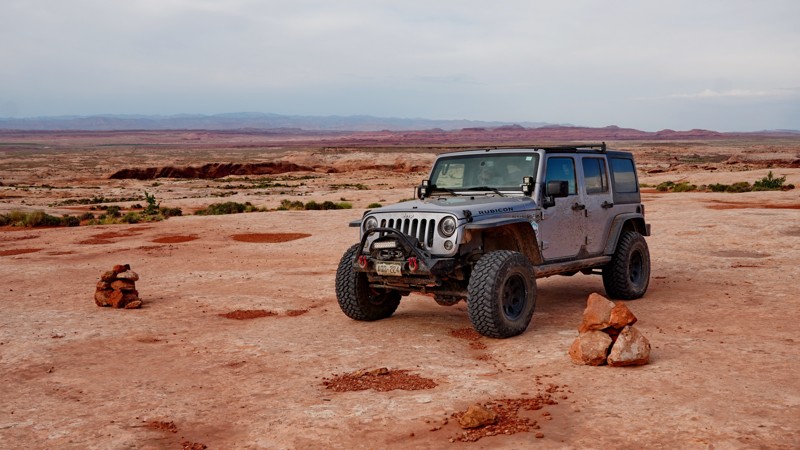
Junes Bottom is a scenic Utah red rock trail with a fascinating history, representing a rare success story in the endless land use fights with wilderness groups in Southern Utah. The road was originally constructed by rancher June Marsing in the 1930s, who lived in a small dugout house next to the Green River - ruins of which can still be seen today. The road was closed by the BLM in 2003 because it was inside a wilderness study area. The state was unsuccessful with a lawsuit trying to get it reopened, and the road remained closed for nearly 20 years. However, when the Labyrinth Canyon Wilderness Area was officially designated by Congress in the 2019 Dingell Act, the Junes Bottom Road was "cherry-stemmed" and excluded from the wilderness area. This forced the BLM to reopen it to vehicles in the 2020 San Rafael Desert Travel Management Plan.
Today, the Junes Bottom Road is one of only a handful of remaining roads accessing the west bank of the Green River in Labyrinth Canyon, though it ends about a quarter mile from the river itself. The difficulty is on the hard side of moderate. Although an aggressive stock high clearance vehicle could navigate the trail with some challenge, larger tires and a lift are highly recommended to safely traverse this trail due to its remoteness.
The terrain the road travels through varies greatly. It starts out as a sandy two-track crossing a grassy mesa top before descending through a series of steep dirt ramps and gullies. It then crosses a broad slickrock plain below striking red striped cliffs. Navigation can be tricky here. There are occasional cairns, paint blazes, and signs marking the wilderness boundary, but it can still be easy to wander off track. Good line choice is necessary here to avoid dragging your rear bumper coming off ledges and slickrock humps. The road becomes more distinct as it switchbacks down a series of terraces toward the river. This section has a notable ledge obstacle about a foot high leading into a narrow, curving shelf road section, which is the most challenging part of the trail.
The road comes to an end at a small parking area and hiking trailhead at the boundary of the wilderness area, a short walk away from the bank of the Green River. Though there are no obvious established campsites along this road, this parking area could make a good place for vehicles with rooftop tents to camp and spend an evening exploring the riverbanks.
Updated: 10/15/2024
Moore Road/Cherry Creek Road
Jericho, Utah
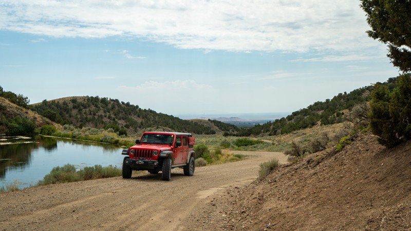
Starting to the west is Moore Road, a maintained dirt and gravel road running across the open West Desert just north of the Weiss Highway. Enjoy the expansive views before turning north and heading to the divide between the Sheeprock and West Tintic Mountains. As the trail heads north, the road's name changes to Cherry Creek Road, where its northern terminus drops you off near Silver City and Eureka, a once-bustling regional mining hub. This road is part of the grander network known as the Prospector Trail System, an exploration of the mining activity that occurred in the West Desert of Utah. Camping is not found along this route, but many spur trails offer a place to pitch a tent.
Updated: 10/15/2024
Labyrinth Canyon Gateway
Green River, Utah
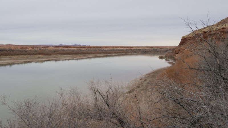
Hidden way back off San Rafael Desert 9062, an easy sandy two-track leads to a genuinely remote campsite at the northern gateway to Labyrinth Canyon. The Green River gently flows along the entrance to the Labyrinth, relentlessly carving into the sandstone cliffs. From this point south, the canyon walls tower over the river below. Grab your camping gear and a good book. Relaxing at this campsite along the river doesn't get much better. The site has a rocky fire circle, room for a couple of vehicles with tents, and a short walking trail leading down to the water. The terrain along the trail is soft sand and nothing more difficult than what you found on 9062.
Updated: 10/15/2024
D1649
Spanish Valley, Utah
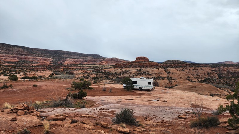
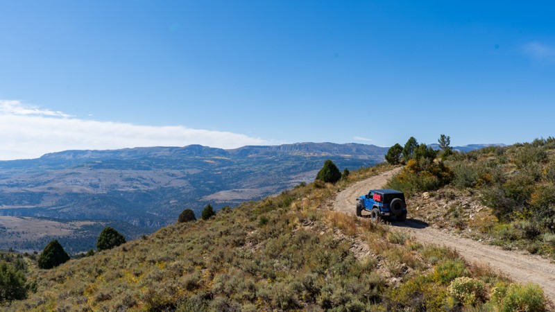
Located just south of Hole 'N' The Rock roadside attraction, D1649 is a short, dead-end camping spur at the eastern end of Kane Creek Canyon. The road houses nearly a dozen dispersed campsites depending on how close you want to be to your neighbor. Camp views are vast as you look past numerous rock formations and tall sandstone fins along the edge of Muleshoe Canyon. The road surface is a mix of small rocks, sand, and slickrock, with a few bumps and dips along the way. It is suitable for any vehicle, including RVs and travel trailers.
Updated: 10/15/2024
Big Bear
Ferron, Utah
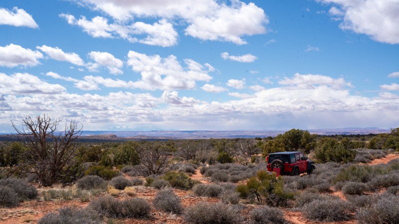
South of Joe's Valley lies Big Bear, an easy but bumpy dirt road traversing Elk Horn Flat and leading back to the Big Bear Creek hiking trail. There are no obstacles along this route, but embedded rocks poking up will surely slow drivers down. Unique rock formations give way to a large aspen grove, providing relief from the shade. Views of Ferron Canyon are quite impressive along most of the trail. Camping is available in many spots along the trail, with the best and biggest sites in the large meadow at the end.
Updated: 10/15/2024
D1136
Moab, Utah
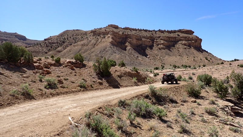
Cutting through the Moab desert is D1136, a feeder trail for many scenic spurs such as D1301, D1290, and D1291B. Although this trail poses no risk for your average high clearance 4WD vehicle, there are a few small challenges. Rocky patches may push beginners to jump out of their vehicles and look at the line choices, while seasoned drivers will have no issues. There are a few scattered, dispersed campsites along this lightly used trail.
Updated: 03/11/2025
Floy Bench
Crescent Junction, Utah
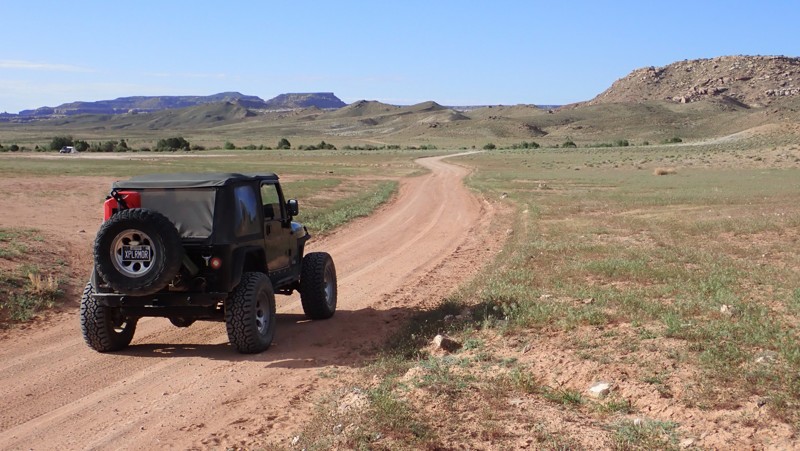
Floy Bench is a continuation of the service roads that run along the edge of the seemingly endless Book Cliffs. The route is a semi-maintained dirt service road. It can be easily completed in 2wd with high-clearance and durable tires. The trail is impassable in wet conditions. There are a few free primitive campsites found along the route. The best camp is at the optional out-and-back scenic overlook. The ground at the vista is rocky and has limited space for tent camping. A rooftop tent on the edge of the cliff would be incredible. Connecting this trail with the others along the Book Cliffs range creates a very isolated 4x4 experience.
Updated: 11/14/2025
Brinks Spring Road
Crescent Junction, Utah
Brinks Spring is a short-cut trail connecting Blue Hills Road and Hidden Canyon trails. Along this 1.8-mile trail, several wide-open large campsites are easily accessible in vans and RVs. There is no shade or protection from the wind. Midway through the trail, there can be mud from a nearby spring. In dry conditions, the trail can be completed in 2WD with high clearance. The northern section of the trail is graded dirt, and the southern portion is high clearance two-track.
Updated: 10/15/2024
Ericson Pass Road
Jericho, Utah
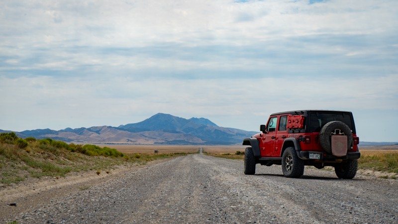
Ericson Pass Road is a long and dusty, maintained dirt road stretching just over 32 miles from Dugway to its southern intersection with the Weiss Highway. Aside from its random blind curves, there are no notable obstacles, making this trail suitable for just about any vehicle. Camping is sparse despite traveling through BLM land, but a few sites do exist. Please be sure to not camp near any of the springs or corrals, as this is actively grazed.
Updated: 10/15/2024
FR 30092
Alton, Utah
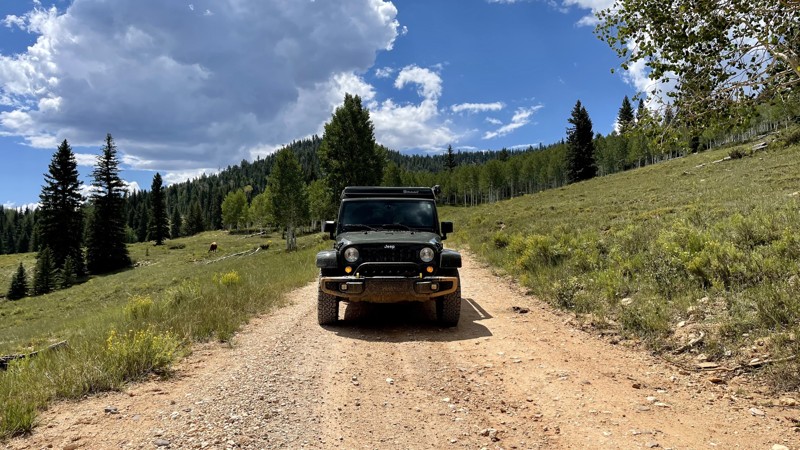
FR 30092 is an easy trail taking you through alpine meadows. There is no camping on this trail. There is designated camping in the surrounding area. If it rains, watch for slick mud and deep puddles. This area is also open range. Cows may share the road.
Updated: 10/15/2024
Castle Lake (West)
Samak, Utah
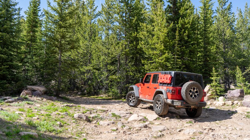
The western half of Castle Lake is a bit reminiscent of the eastern half, with one big exception, a long and deep water hole. A few camping opportunities lie along this trail, with one decent site after fording the water. This trail sees little traffic so seclusion may be achievable. Since this trail is no longer a loop, the campsite at the trail's end may just be the ticket.
Updated: 12/18/2023
5317 Manti-La Sal
Monticello, Utah
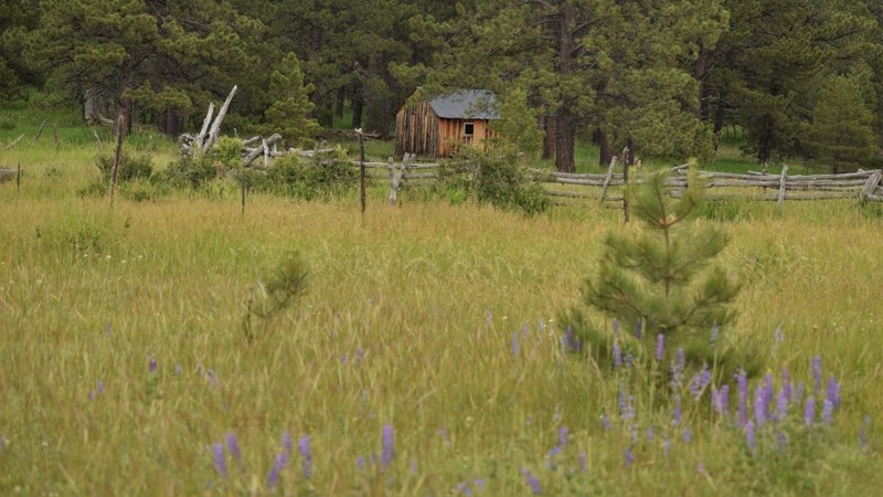
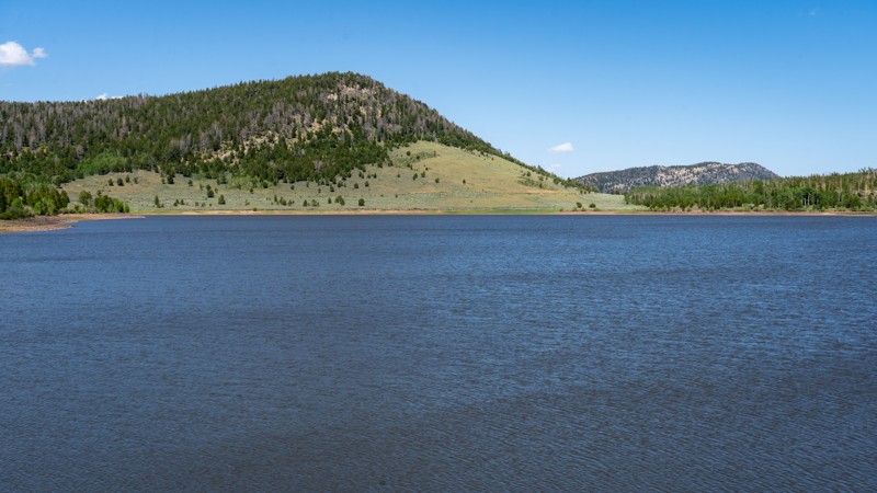
Manti-La Sal National Forest is a beautiful mountain region in southeast Utah. The mountains are home to an abundance of wildlife and a lifetime of trails to explore. This short offroad trail is along one of the best routes in the region, Elk Ridge, and leads to an old hunters cabin, epic large group camping, and a scenic vista. It may be a short trail but packs a lot in when the wildflower blooms completely cover the nearby meadows. This is definitely worth the time to explore or just to relax and take it all in.
Updated: 08/11/2025
Hoop Lake
Lonetree, Utah
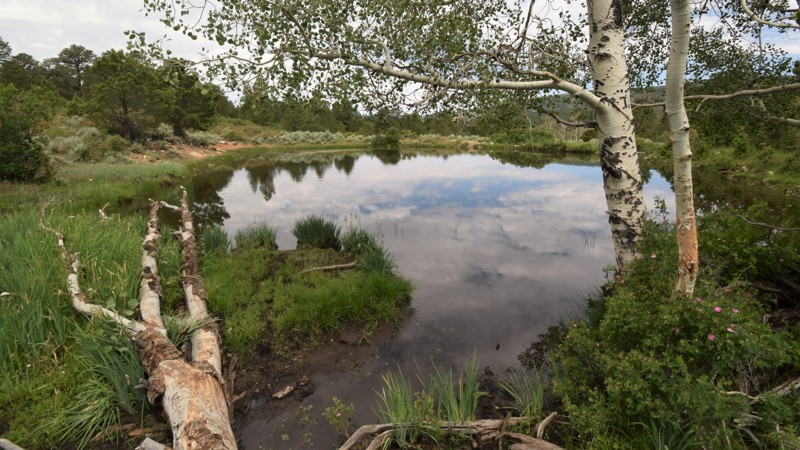
Hoop Lake is an easy, scenic out-and-back route that runs south from Highway 414 near Mountain View, Wyoming, into the quiet alpine forests of northeastern Utah, ending at the picturesque shores of Hoop Lake. This trail follows a well-maintained graded dirt road that steadily climbs through rolling terrain, skirting aspen groves and grassy meadows as it crosses the state line into Utah’s Uinta Mountains. It’s approachable for any vehicle with decent ground clearance and requires no previous offroad experience, making it an ideal outing for new or casual drivers.
Most visitors use this trail to access Hoop Lake itself, a popular destination for fishing, paddle sports, and family camping. A handful of dispersed campsites can be found along the route before reaching the lake, but the main draw is the well-developed National Forest campground at the lake’s edge, which features 37 shaded campsites nestled among mature aspens on the west side of the water, and 7 sites in the sunshine closer to the shore just beyond the trees.
This route remains open year-round, and during winter, it becomes a gateway for ice anglers looking to fish Hoop Lake’s frozen surface. Despite its popularity, Hoop Lake offers a relaxing drive into the mountains with a rewarding destination that’s well worth the trip, especially if you’re looking to combine offroad travel with lakeside camping or a peaceful day of fishing.
Updated: 12/18/2023
090 Manti-La Sal
Monticello, Utah
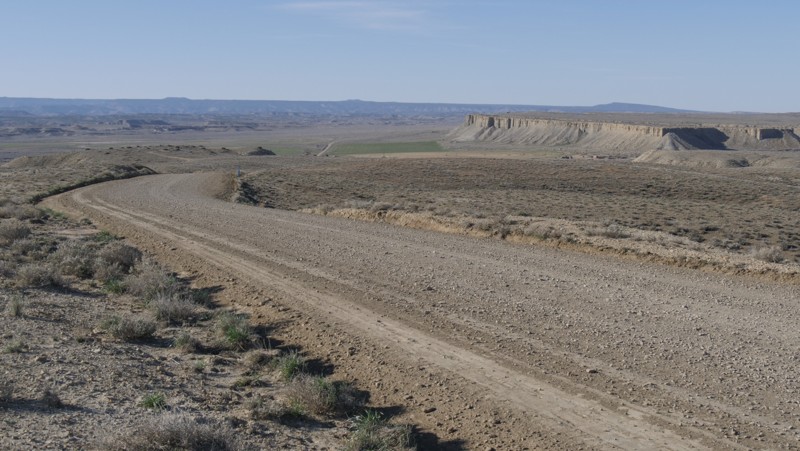
Located within the Manti LaSal National Forest near the town of Monticello, FR 090 offers the outdoor enthusiast a lifetime of forest trails to explore. The area is popular with hikers, hunters and ATV users. The forest system has a vast network of hiking trails that access the Dark Canyon Wilderness area where you will have spectacular views of the endless canyons below. Incredible camping and a scenic drive up the mountain make this backcountry drive well worth your time.
Updated: 12/07/2025
East Main
Victor, Utah
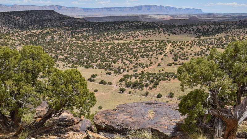
East Main is the first of many gravel roads leading to the vast network of trails within Utah's San Rafael Swell. In dry conditions, all vehicles with durable tires can easily travel the trail. The trail crosses over sprawling prairies with 360-degree views of the Book Cliffs and the mountains to the west. You'll be crossing over sections of private land, so camping is nonexistent along this route. Abundant free camping can be found further south on Desert Lake Road.
Updated: 10/15/2024
Verde Ledges
Victor, Utah
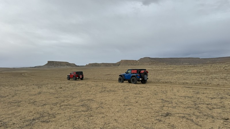
The trail climbs numerous ridgelines with sprawling views while you're hyper-focused on the narrow rocky ledge ahead. Accessing remote canyons along the northern edge of the San Rafael Swell, Verde Ledges is an exhilarating addition to the Verde Loop. The trail has narrow ledge hills with large loose boulders to climb over, out, and back. Experience is needed on remote and difficult trails; low-range 4x4, high clearance, and durable offroad tires are required. While no established campsites were found along the route, the scenery, ground conditions, and privacy are motivators to create a temporary site along the trail for the night. The trail is impassable in wet conditions. Note: The end of the track currently ends at a large boulder, partially blocking the trail. The width is too narrow for full-size vehicles. ATV 66" width or less to safely pass.
Updated: 12/31/2024
Coyote Valley Road
Paria, Utah
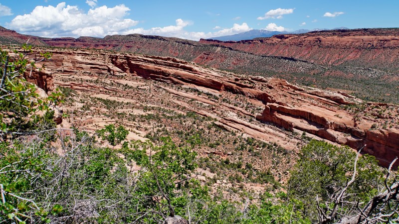
Coyote Valley Road is an easy dirt route serving as a southern connector between Cottonwood Road and Brigham Plains Road. A couple of campsites can be found at the southwestern end of the trail that are very exposed to the elements and are easily accessible, making them popular with trailer boondockers. Although Coyote Valley has no significant obstacles when rain falls in the area, the mud that forms is notorious for creating impassable conditions for nearly all vehicles. In dry conditions, the hardest part of the trail is a wash crossing at the northern end that may change in difficulty with erosion from seasonal rain. The colors of the surrounding plateaus frequently change from cool blue tones to golden hues depending on lighting and weather conditions. Have your camera ready!
Updated: 10/15/2024
Comb Ridge Overlook
Blanding, Utah
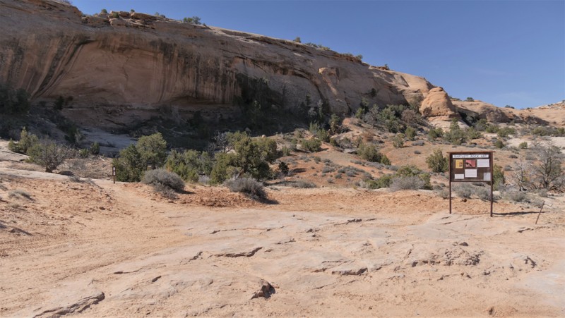
This short spur off the Little Baullie Mesa trail leads out to a scenic overlook across Comb Wash to Comb Ridge. It is mostly a lightly used dirt track that is rocky in a few places, particularly at the end. While not a destination in itself, it makes for a nice short side trip when exploring the trails between Hotel Rock and Milk Ranch Point. There are no established campsites along this trail, and the ground is too slanted at the overlook at the end for it to be a viable campsite.
Updated: 10/15/2024
Bartlett Rock Art
Moab, Utah
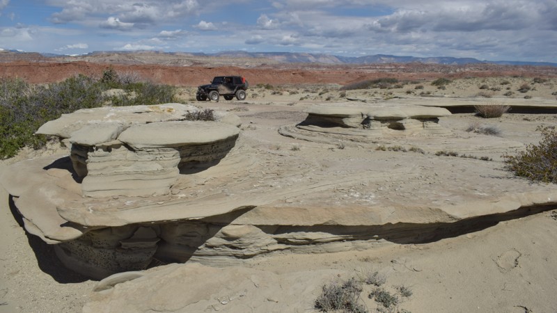
An excellent and quick detour is hidden in the sandstone cliffs. Bartlett Rock Art site is a short out-and-back trail where a short hike leads to a massive cliff wall with early Native American rock art. The trail is soft sand and rocks. It can be done in 2WD, but 4WD may be needed in the soft sand. The trail is not recommended for low-clearance passenger vehicles. The walk from the parking area is very short but uphill to the pictographs. There is no camping along this route, but it is abundant on the other area trails.
Updated: 05/28/2026
Upper Sid and Charley
Clawson, Utah
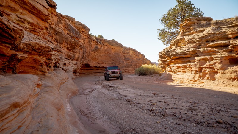
Upper Sid and Charley trail easily travels almost 11 miles across wide-open prairie land above the popular spire. The trail has distant views of red and white sandstone cliffs and narrow slot canyons. You can park along the trail and hike into many of the numerous remote canyons that line the eastern edge of the trail and overlooks along The Red Ledges. The trail requires high clearance, durable tires, and four-wheel drive for the numerous off-camber ruts and rocky ledges. No established campsites were found along the route. Abundant camping can be found along Horn Silver Gulch at the northern trailhead.
Updated: 01/07/2025
Horse Canyon Road
Boulder, Utah
Horse Canyon Road is a spur off of Wolverine Loop Road, providing access to its namesake. Horse Canyon, as a geological feature, travels south to connect with Wolverine Canyon, Death Hollow, and eventually the Escalante River. Those seeking camping along Wolverine Loop Road can find an open site at the trailhead for Horse Canyon Road and one more shortly before the trailhead register, both of which have shade from large cottonwood trees that grow in the area. Overnight camping permits are required and free of charge, permit slips should be located in the trailhead register. Horse Canyon Road falls within the Grand Staircase-Escalante National Monument Resource Management Plan (RMP) for 2024, limiting travel beyond the mapped track.
Updated: 08/11/2025
Hickerson Park Birch Creek Road
Manila, Utah
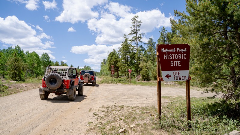
Hickerson Park Birch Creek Road is an easy access road to a wide range of recreational activities within northeastern Ashley National Forest, including beautiful lakes, hiking trails, and campgrounds. This long, maintained road is popular with full-size off-roaders and OHVs alike, so be prepared to share access.
History buffs will enjoy turning onto Ute Mountain Lookout to visit the historic Ute Tower fire lookout. Wildflowers like gray's lupine, wavy leaf paintbrush, and maiden blue-eyed mary will dot the landscape for those visiting in late spring.
Most of the dispersed camping is located at the east end of Hickerson Park Birch Creek Road, especially the larger sites with better views and more space. If campgrounds are more your style, options along the way include: Browne Lake Campground, Sheep Creek Lake Campground, and Spirit Lake Campground.
Updated: 08/11/2026
Gordon Creek
Wildcat, Utah
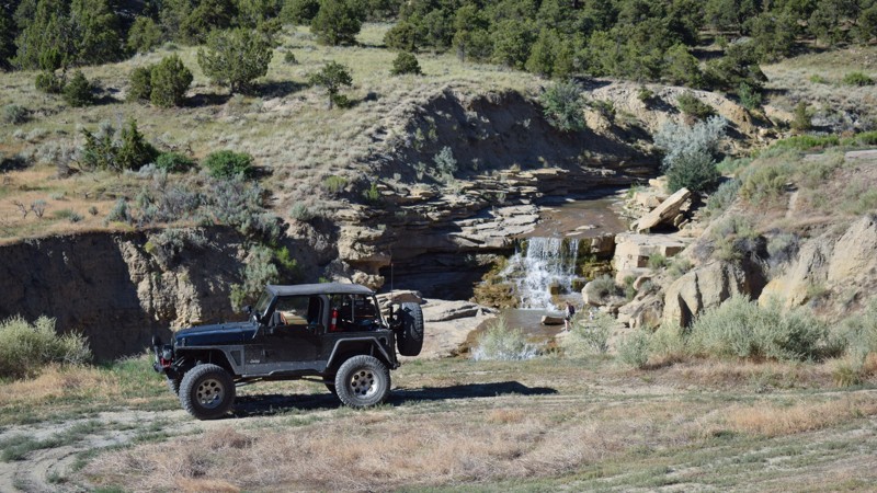
Located in Carbon County, west of Price, Gordon Creek is a local iconic challenge through a scenic canyon that ends at a picturesque cascading waterfall. This dead-end spur trail off Trestle Road is not known for being a swimming hole due to shallow waters but is instead recognized for its scenic riparian landscape and the abundant ancient and more modern historic gems found in the area. The trail is very narrow and has numerous rock ledges on dirt hills that require experience and a capable 4x4 with extra ground clearance. Full-size motorized use is allowed to the waterfalls, but the historic Summer House Cabin can only be accessed via hike or less than 52" wide ATVs. Hiking through the area canyons and cliffs will reward you with numerous pictographs and petroglyphs hidden amongst the rocks. No camping was found along the route, and to help preserve the area, please do not camp near the falls. The trail is closed in the winter months.
Updated: 03/24/2025
Stove Gulch
Woodside, Utah
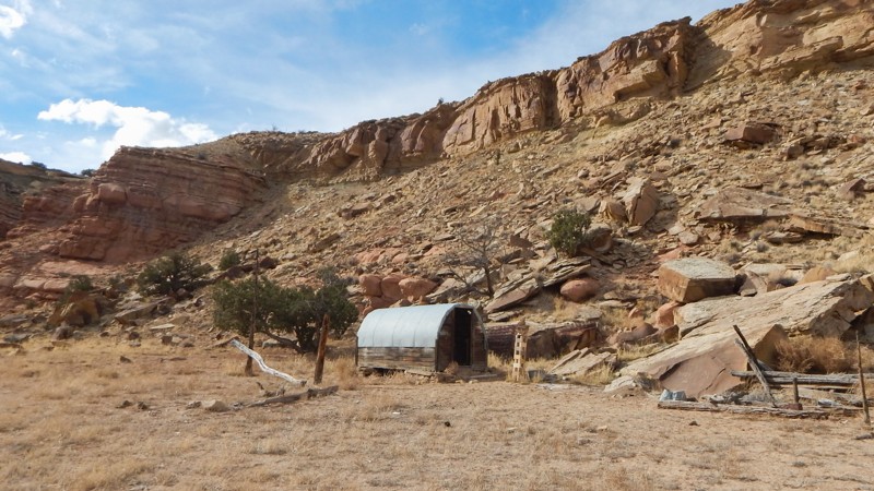
Take a trip back in time through a narrow slot canyon. Stove Gulch within the San Rafael Swell Recreation Area is a beautiful 4x4 experience. The trail winds through a narrow redrock-walled canyon leading to an old settler cabin before a dead end at the Price River. The trail is intended for slightly modified to capable stock 4x4s, but everyone will love it. The drops and descents into the wash are steep and very off-camber. The rocks in the wash are large, requiring careful tire placement to prevent high centering. To help preserve the integrity of this pristine canyon, please do not camp along the trail or drive off the trail up to the cabin. The trail ends at a turnaround near the very brushy Price River. Rockfall is common and may temporarily block the narrow canyon.

Upgrade your Membership
Unlock all of the details on every Trail Guide and Scout Route.
Start a 7-day Free TrialBrowse Trails in Utah by City
Browse every Utah city with offroad trail guides.
Community
Partners

