Lost World (7.1 miles away)
Green River, Utah

Junes Bottom is a scenic Utah red rock trail with a fascinating history, representing a rare success story in the endless land use fights with wilderness groups in Southern Utah. The road was originally constructed by rancher June Marsing in the 1930s, who lived in a small dugout house next to the Green River - ruins of which can still be seen today. The road was closed by the BLM in 2003 because it was inside a wilderness study area. The state was unsuccessful with a lawsuit trying to get it reopened, and the road remained closed for nearly 20 years. However, when the Labyrinth Canyon Wilderness Area was officially designated by Congress in the 2019 Dingell Act, the Junes Bottom Road was "cherry-stemmed" and excluded from the wilderness area. This forced the BLM to reopen it to vehicles in the 2020 San Rafael Desert Travel Management Plan.
Today, the Junes Bottom Road is one of only a handful of remaining roads accessing the west bank of the Green River in Labyrinth Canyon, though it ends about a quarter mile from the river itself. The difficulty is on the hard side of moderate. Although an aggressive stock high clearance vehicle could navigate the trail with some challenge, larger tires and a lift are highly recommended to safely traverse this trail due to its remoteness.
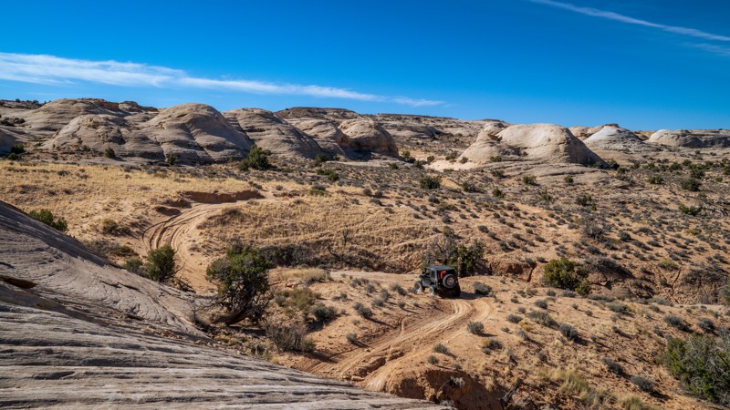
The terrain the road travels through varies greatly. It starts out as a sandy two-track crossing a grassy mesa top before descending through a series of steep dirt ramps and gullies. It then crosses a broad slickrock plain below striking red striped cliffs. Navigation can be tricky here. There are occasional cairns, paint blazes, and signs marking the wilderness boundary, but it can still be easy to wander off track. Good line choice is necessary here to avoid dragging your rear bumper coming off ledges and slickrock humps. The road becomes more distinct as it switchbacks down a series of terraces toward the river. This section has a notable ledge obstacle about a foot high leading into a narrow, curving shelf road section, which is the most challenging part of the trail.
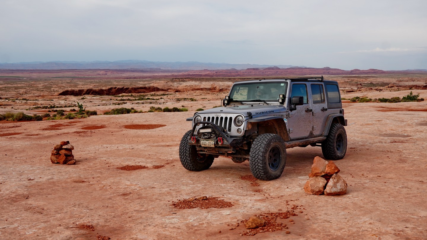
The road comes to an end at a small parking area and hiking trailhead at the boundary of the wilderness area, a short walk away from the bank of the Green River. Though there are no obvious established campsites along this road, this parking area could make a good place for vehicles with rooftop tents to camp and spend an evening exploring the riverbanks.