
Elephant Hill (31.76 miles away)
Monticello, Utah
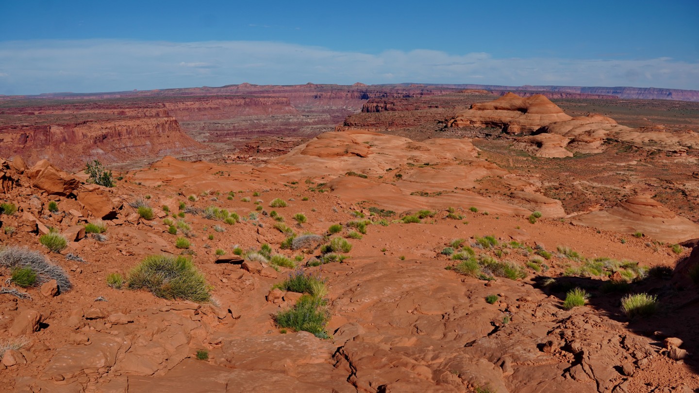

The Bert Mesa road is a stunning but seldomly traveled trail that descends a steep, deteriorated dugway down the side of Burr Point and travels across Bert Mesa, ending at a cliffside overlook of the Dirty Devil River and Happy Canyon. Along the way you wind through magnificent petrified sand dunes and colorful buttes, with many amazing views of the surrounding area. Most stock vehicles would likely find this trail too difficult, so it is only recommended for modified vehicles.
The first mile is the most technical, involving steep descents on uneven rock ramps and numerous rock ledges. While the road is faint and somewhat overgrown, it is not too hard to follow, as it is the only possible path down the cliffs. The hardest obstacle is at the bottom of the dugway, where the road climbs up a 3-foot-high slanting ledge that tips you toward a ditch to the left. Past this obstacle, the road levels out as it crosses the mesa top as a faded two track, ultimately ending at an overlook on the rim of the canyon above the Dirty Devil River. This spot offers panoramic views across to Happy Canyon and Big Mesa and looks down on the remains of the old Black Jump road on the bench below.
Just before the overlook is a complex, triangle-shaped junction. A faint spur road leads north out onto another point above the Dirty Devil River before fading out in the middle of the mesa. You would have to walk to the rim to see any real views from this road. Another more prominent spur leads to the south out to a spectacular overlook of the Black Jump trail and the crossing of the Dirty Devil River along the Poison Springs road. Unfortunately, this road was closed to vehicles in the Henry Mountains and Freemont Gorge Travel Plan in early 2025.
The only established campsites along this road are at the top of the dugway just below the junction with the Burr Point trail. These sites are nestled in a small bowl against cliffs and are more sheltered than any others in the area. No established campsites exist on Bert Mesa itself, but one could camp basically anywhere, including at the overlook at the end.