










By clicking "ACCEPT", you agree to be the terms and conditions of each policy linked to above. You also agree to the storing of cookies on your device to facilitate the operation and functionality of our site, enhance and customize your user experience, and to analyze how our site is used.
Utah Off-Road Trails
359
Total Trail Guides 334

4759
Detailed Waypoints 925
Try a Free 7-Day Trial and unlock it all
Start a Free Trial Most Recent Trail Reviews
No Rating
Open
Visited: 09/24/2026
This trail has been graded recently and is now an easy trail.

IE
Ingrid Enyeart
Rated 5/5
Partially Open
Visited: 09/22/2026
The portion of the trail between the fork at 11 and the fork at 13 has two major ledges that have formed going into and out of the wash. Not sure what vehicle could overcome these. So just take the sc...


CI
Christine Irsik
Rated 4/5
Open
Visited: 09/22/2026
We enjoyed this trail and will definitely do it again. Gorgeous views at many points along the trail. We didn’t try The Wall, but everything else was just enough of a challenge for us and nice that m...
LF
Leslie F
No Rating
Open
Visited: 09/22/2026
Drove out here in a thunderstorm after doing dome plateau overlook. Epic camping. peaceful. unparalleled views. trail had two steep rocky sections I used 4wd low but probably didn't need to.

JR
jon ross
No Rating
Open
Visited: 09/21/2026
This is a short 2 mile of so cut off trail. Has a wash out with a by pass half way through.



Earl Neisler
Earl Neisler
Rated 2/5
Open
Visited: 09/21/2026
Pinstripe Alley nonstop for the first 4 miles. INo view to be had until waypoint 7. It was a beautiful view then we turned around. Should’ve read the reviews before we started the trail, because th...
LF
Leslie F
Rated 5/5
Open
Visited: 09/21/2026
This is a highlight for the trip. We stayed at waypoint10 for the night.


Earl Neisler
Rated 4/5
Open
Visited: 09/21/2026
Nice connector. The short out back was the hardest and not that short.


Earl Neisler
Rated 4/5
Open
Visited: 09/21/2026
A well maintained road. Found a nice camp site on the south in.
Earl Neisler

Jesse Martin
Jesse Martin
Rated 5/5
Open
Visited: 09/20/2026
Great area to go camping and gather for family reunions. There are multiple other trails that fork off throughout the trail to explore.

Dustin
Earl Neisler
Rated 5/5
Open
Visited: 09/20/2026
Only did apart due to time. This is 1 I will come back and finish.

Earl Neisler
Rated 3/5
Open
Visited: 09/20/2026
Not much to say it a slow easy. A good connecting trail.
Earl Neisler
No Rating
Open
Visited: 09/20/2026
We started just south of Cottonwood Canyon. We stop and looked but could not fine the rock art. The area was a nice to see all the green.


Earl Neisler
Rated 4/5
Open
Visited: 09/19/2026
Great trail, we drove through waypoints 24-35. Easy ride with a good amount of mud holes with few ruts on the stretch we drove. Would love to complete the whole trail at a later date.
Dustin
Rated 4/5
Open
Visited: 09/19/2026
Fun easy trail. Great way to get out and enjoy a relaxing trail ride to take in nature and see the fall colors.
Dustin
Rated 5/5
Open
Visited: 09/19/2026
Great Trail! The scenery was good with lots of wildlife. The trail was diverse that give drivers the opportunity to use both high and low four wheel drive. Trail has both wide and narrow areas.
Dustin
Rated 5/5
Open
Visited: 09/18/2026
I run this trail every year. Always fun and beautiful views. Fair amount of off camber sections.

Jeff Klaassen
Rated 5/5
Open
Visited: 09/18/2026
This was a good trail. The trail still had so flood damage but was passable. Highly recommended this. Has some all some view. We took 2 day to enjoy the ride and views.


Earl Neisler
No Rating
Open
Visited: 09/16/2026
Very fun, short trail. We did the loop but not Wipeout Hill. The sandy sections were a blast and there were a few ledges and obstacles that probably warrant a 5 but are still a fun challenge. We did i...



Mark Signorelli
Rated 4/5
Open
Visited: 09/15/2026
Ran this one and it's a decent stretch for anyone with a high clearance 4x4. The early sagebrush section had me watching my GPS track closely since the road nearly disappears a few times, but it alway...



Jay North
Official Crew
Rated 4/5
Open
Visited: 09/15/2026
Ran this as a quick add-on while working through the rest of the Red Hills network, and it's a fun one to knock out in under an hour. The wash crossing is the one spot where you actually have to think...


Jay North
Official Crew
Rated 3/5
Open
Visited: 09/15/2026
Ran this one on a dry afternoon and came away satisfied without being blown away. The rocky, rolling grade keeps things interesting without ever feeling out of reach for a stock high clearance rig, th...


Jay North
Official Crew
Rated 4/5
Open
Visited: 09/15/2026
Ran this one on an afternoon when I didn't have time for a full day out, and it delivered more than I expected for a short climb. The hill about a mile in makes you actually think about your line, and...


Jay North
Official Crew
Rated 4/5
Open
Visited: 09/13/2026
Red Peak Road is a short, easy cruise that's mostly smooth dirt with just enough texture to keep it interesting. There's a mild rough patch early on and a slightly rockier stretch past the halfway poi...


Jay North
Official Crew
Rated 2/5
Open
Visited: 09/13/2026
This is an easy, low-key cruise with a short technical bump right in the middle where it ties into the rest of the network, otherwise it is just packed dirt and gravel the whole way. Nothing here dema...


Jay North
Official Crew
Rated 4/5
Open
Visited: 09/13/2026
This one's an easy, mellow cruiser and it shows in how quick it feels behind the wheel. The rocky spots near the start and about two thirds up are barely worth mentioning, just some careful tire place...


Jay North
Official Crew
Rated 5/5
Open
Visited: 09/13/2026
This one's a fun add-on if you're already out in the area, easy enough for most of the way that a stock rig won't break a sweat, with just a couple of hard spots to keep things interesting. The washou...


Jay North
Official Crew
Rated 4/5
Open
Visited: 09/13/2026
A nice view of Kanab. Steepish and possibly slick when muddy. One spot has a small rock shelf. 4x4 recommended.


Ben Ruddell
Official Crew
Rated 3/5
Open
Visited: 09/13/2026
Easy, suitable for high clearance 2WD on a dry day, though four wheel drive earns its keep if the ground's been wet. The ruts along the way are mild and easy to place your tires around, and the two wa...


Jay North
Official Crew
No Rating
Open
Visited: 09/12/2026
Crazy no reviews since I ran it last May. We ran it again this time the whole trail out to the south overlook. It had rained the night before and into the morning. The rock dried up quick but a lot o...



Andrew Hotton
Rated 5/5
Open
Visited: 09/12/2026
Sand dunes. DANGER, you need to know your technique to head in here. It’s easy to misjudge slope and camber and get stuck or worse roll.


Ben Ruddell
Official Crew
Rated 3/5
Open
Visited: 09/12/2026
The section of the trail was rocky and rough - still fairly easy but the rockiest stretch.
WF
Wyatt Frampton
Rated 4/5
Open
Visited: 09/12/2026
This trail checks so, so many of the boxes -- hanging off a cliff, passing within 4" of rocks on BOTH sides at the same time on narrow sections, meaningful obstacles (ledges) where I smacked my hitch ...
IR
Isaac R
Rated 3/5
Open
Visited: 09/12/2026
This is an easy, high clearance 2WD road, easy enough that the drive itself isn't the draw. The shelf road stretch is mild and only about two jeeps wide, so keep an eye out for oncoming traffic, and t...


Jay North
Official Crew
Rated 2/5
Open
Visited: 09/12/2026
This is a mellow, low-stress drive that rewards a relaxed pace more than any technical challenge. Stock high clearance handled every mile without a second thought, and the surface stayed predictable e...


Jay North
Official Crew
Rated 5/5
Open
Visited: 09/11/2026
Great rest quick trail! Perfect for beginners, fun place for a picnic. The entrance and exit terrain to the tunnel changes depending on the weather and use. Very fun and interesting.


Dustin
Rated 4/5
Open
Visited: 09/11/2026
My route didn’t originally include this trail, but one of my crew broke on impossible hill and we had to limp back to civilization. This trail was beautiful and remote. Difficulty wise, no issues on t...



Dewie Jones
Official Crew
Rated 4/5
Open
Visited: 09/10/2026
Way better than I thought it would be. This was simply a connector trail for my unsuccessful (broken Toyota) Blanding to Moab overland trip. The trail is absolutely beautiful, relatively fast access, ...
Dewie Jones
Official Crew
Rated 3/5
Open
Visited: 09/10/2026
Easy enough that I did this road in pitch-black with just headlights (no light bar or anything) on the way to see sunrise from the end of the trail (Hurrah Pass). Really straightforward, just rocky li...
IR
Isaac R
Rated 4/5
Open
Visited: 09/10/2026
Incredibly beautiful road and not really rough at all -- I did a bunch of with fully-inflated tires. I know it's just a connector but honestly I would 100% come out here again to enjoy the views, hang...
IR
Isaac R
Rated 4/5
Temporary Closure
Visited: 09/10/2026
Deep mud around river crossing prevents passage. We came from Goblin Valley side, we were able to cross the river but there was deep mud on south side due to recent rains. Almost got stuck, had to go ...

Thomas A Youngerman
Rated 5/5
Open
Visited: 09/09/2026
Incredible bucket list trail that you must do if you can. DON'T do it in 1 day unless you like rushing it, unfortunately circumstances changed that required us to rush it. It's gorgeous and worth an o...



Sean Allen
Rated 5/5
Open
Visited: 09/09/2026
I built this into our rocklanding/overland route and really enjoyed the adventure. You can tell this isn’t well traveled which added to the experience. With that said, we’re trying to get to Moab from...


Dewie Jones
Official Crew
Thomas A Youngerman
Rated 5/5
Open
Visited: 09/08/2026
Great as always, high rewards in terms of views and nothing crazy in terms of obstacles. Great first trail for someone to do with a great payoff!


Sean Allen
Rated 5/5
Open
Visited: 09/08/2026
Fun trail, would run again. Had lunch between Monitor and Merrimac buttes.


Thomas A Youngerman
Most Popular


Updated: 06/26/2024
Elberta Slant Road
Open
/
Elberta, Utah/
8.26 miles/
About an hour
Tucked in the hills of the Tintic Mountains lies a rich history. This easy off-road trail puts you right through the heart of it all, following closely to what used to be the Tintic Railroad. Challenges are minimal allowing vehicles of all makes and models access to such an area. The trail is mellow but don't let that stop you from visiting. The tunnel along the route is worth the drive alone!

Updated: 09/22/2026
Kane Springs Road
Moab, Utah
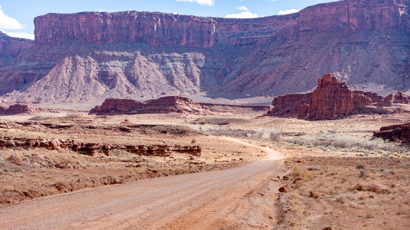
Kane Springs Road, also labeled as Kane Creek Blvd and Kane Creek Road, is an important connector and camping road when visiting Moab. Look for the McDonald's in town, and turn west. The first 4.5 miles is rough pavement. The road then turns to dirt, which is where this track starts. The trail descends into the Hunter Canyon area before the road opens into a more expansive canyon with panoramic views. The road is usually suitable for any vehicle. However, the road is known to flood during wet weather in the last half mile, where you cross Kane Springs Creek, causing issues for 2WD vehicles.
Kane Creek Road connects to Moab Rim, Pritchett Canyon, Cliff Hanger, Kane Creek Canyon, and Hurrah Pass. The road is also home to the Ledge Campgrounds, with over 105 sites scattered over five areas labeled A - E. The first-come, first-served campsites have picnic tables and vault toilets.

Updated: 03/25/2024
Doll House
Hanksville, Utah
The Dollhouse 4WD trail in the Maze District of Canyonlands National Park is an exhilarating off-road adventure that immerses you in a remote awe-inspiring desert wilderness. Tucked away in the rugged heart of the park, the Dollhouse offers an unforgettable journey through towering sandstone formations, deep canyons, and vast expanses of untamed beauty. As you navigate the challenging terrain, with its narrow passages, and rocky obstacles, you are rewarded with panoramic views of the breathtaking landscape below. The Dollhouse itself, a collection of unique and intricately eroded rock formations resembling dolls, serves as a mesmerizing centerpiece of this unforgettable trail. With its combination of thrilling off-roading and stunning vistas, the Dollhouse 4WD trail promises an unforgettable experience for adventurers seeking the untamed spirit of Canyonlands National Park's Maze District.
Updated: 02/18/2026
The Pony Express (Fairfield to Ibapah)
Fairfield, Utah
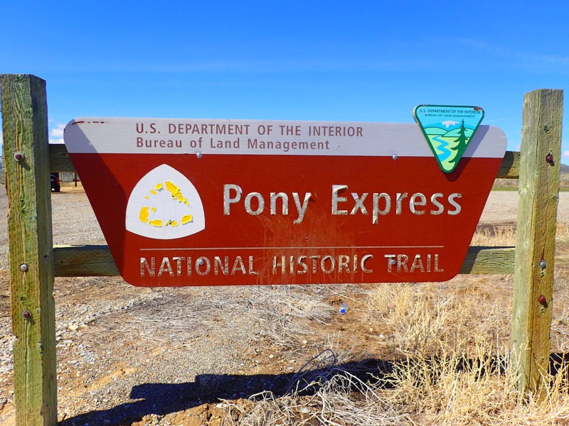
Almost 2000 miles of dirt road stretching across the United States from St. Joseph to San Francisco sounds like an overlander's dream come true. Dating back to 1860, the Pony Express was one of the most historic routes in the country. The trail was originally laid out to provide a route for mail delivery. Over the course of eight to ten days, riders would traverse mountains and deserts across 8 states (Only two states back then) to deliver mail to Sacramento, where it was placed onto a steamer to continue its journey to San Francisco. At its peak, there were believed to be around 190 stations spanning across this historic route. Sadly, after only 18 months, the telegraph was brought about and led to the termination of the Pony Express in October of 1861. Today, much of the track remains available and is maintained by the Bureau of Land Management. What took riders eight to ten weeks to cover at an average speed of seven miles per hour now can be achieved by vehicle in as little as 5 hours depending on speed of travel. Billboards and postings give plenty of information along this trail. Although it may be a maintained route, be sure to pack for desert travel, bringing plenty of food, water, and clothing in the colder months.

Updated: 01/07/2025
Devil's Racetrack
Open
/
Green River, Utah/
9.04 miles/
About 3 hours
With a name like Devil's Racetrack, you expect a thrill ride or sense of danger. That's partially true for this iconic Utah trail. There are a couple of rock-crawling obstacles near the edge of a shear cliff but nothing like the trails in Moab. The endless panoramas of distant arches and rock spires along the entire route keep you occupied between the rocky challenges. The trail's most iconic section is along The Razorback, a rocky stretch that tilts the driver off-camber while traversing a narrow spine high above the canyons below. The northern portion of the route crosses grassy meadows with the Twin Priest's rock spire as a backdrop.

Updated: 12/17/2024
Mineral Basin
Highland, Utah
Another amazing trail in the Wasatch Mountains, Mineral Basin takes you some incredible sights in a very short drive from the city. After completing Lower Mill Canyon or Baker Fork Road, this trail will give you the challenge and excitement that you were looking for. Due to this area's rich mining history, you will see a vast array of colorful rocks as you climb through the Wasatch National Forest. Moose, porcupines, and deer are often seen in the area. In the heat of the summer, this is a great trail to cool off a little. The mountains are on fire in the Fall, with all the leaves changing color. There are many reasons this trail will quickly become a favorite!
Updated: 04/01/2025
Spring Canyon Bottom
Moab, Utah
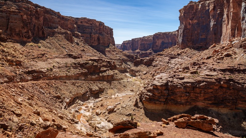
Located northwest of Moab, Spring Canyon Bottom is a trail of transformation. What begins as a humble gravel road quickly sheds its simplicity, plunging offroaders into a dramatic world of red rock majesty. The terrain tightens into a narrow shelf road etched into sheer canyon walls, where every twist tests your nerves, and every turn rewards you with jaw-dropping views. This trail is not just a drive but a visceral experience. Your hands grip the wheel a little tighter, your heart beats a little faster, and your senses heighten with each minute that passes along the shelf road. It's a trail that commands respect and focus but also delivers unforgettable beauty in return.
As you descend into the serene heart of Spring Canyon and approach the wide expanse of the Green River, a sense of awe replaces adrenaline, but don't get too comfortable. The journey back is just as intense, this time clawing upward through the very challenges you just conquered. Spring Canyon Bottom is an offroad journey that leaves you breathless, both from the views and the ride itself.

Updated: 04/04/2024
East Rim
Hurricane, Utah
Sand Hollow Mountain OHV area in Hurricane, Utah, is a rock crawling paradise without the crowds or trail boundaries, but there is more to offer than difficult, buggy-type trails. The East Rim Trail is an easy access point to the expansive trail network that crisscrosses this wide-open OHV area. The trail travels from Warner Valley up along the east rim of Sand Mountain and eventually finishes not too far from the summit. You'll feel compelled to stop at the breathtaking views on the edge of vertical cliffs overlooking Warner Valley and the Arizona Strip. The trail has a few interesting obstacles for stock 4x4s, making this a great entry-level trail for those looking to explore the area without the risk. Loose sand is abundant, and a couple of rock ledges and hill climbs may challenge new drivers. However, even seasoned wheelers will enjoy the incredible sights along this southern Utah trail.

Updated: 02/05/2025
Wild Horse Road
Green River, Utah
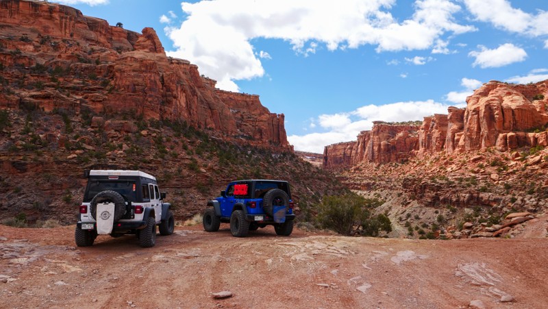
Wild Horse Road is a visually stimulating treat of quintessential Utah landscapes. Starting just past the towering form of Factory Butte, this offroad trail takes you through the distinct features of Little Wild Horse Mesa, Little Wildhorse Canyon, the San Rafael Swell, and Goblin Valley. Encapsulated between more popular offroad areas of 'The Swell,' Capital Reef National Park, and Moab, this trail is lightly used by comparison and feels utterly remote. If the stunning visual scenery isn't enough, add a river crossing, winding washes to navigate, and your pick of dispersed campsites - and Wild Horse Road may quickly become a new favorite for you.
Updated: 05/28/2024
Bull Canyon
Moab, Utah
Bull Canyon is a unique offroad experience well-suited for beginners. The trail takes you through winding canyons, towering cliffs, and sandy washes just off the famous Gemini Bridges trail. The trail is aptly named. Ranchers used the canyon as pasture land for their cattle. Seeing cows along the trail is not uncommon. The trail provides access to a short hike that leads to the magnificent Gemini Bridges. In addition to the natural beauty of the Gemini Bridges, you get deep into the heart of the awe-inspiring beauty of the unique landscape surrounding Moab. Combine this trail with Gemini Bridges, Surprise Overlook, and Long Canyon for an introductory route into wheeling around Moab.
Updated: 05/26/2023
Cottonwood Springs
Saint George, Utah
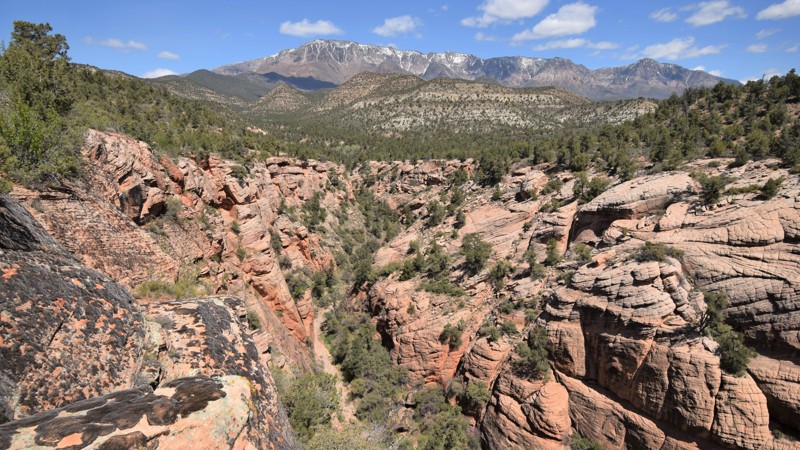
Cottonwood Springs Road is a very quick way to escape the city streets around St. George, Utah. This very easy trail travels along Pine Valley Wilderness Area within the Dixie National Forest. The route has an abundance of secluded and free primitive camping. Many of the sites are located right along the edge of narrow slot canyons with some offering stunning views of the mountains. There are parking areas along the route for accessing slot canyon hiking trails like Yankee Doodle and Heath Canyon. The drive along this back road is long but very easy for 4x4 vehicles. Many stock SUV's and passenger cars can be seen far back in this area. There are many side trails that can be taken to get more of an offroad challenge or you can simply hike down into the shadows of the numerous slot canyons.
Updated: 01/29/2026
Razzle Dazzle
Hurricane, Utah
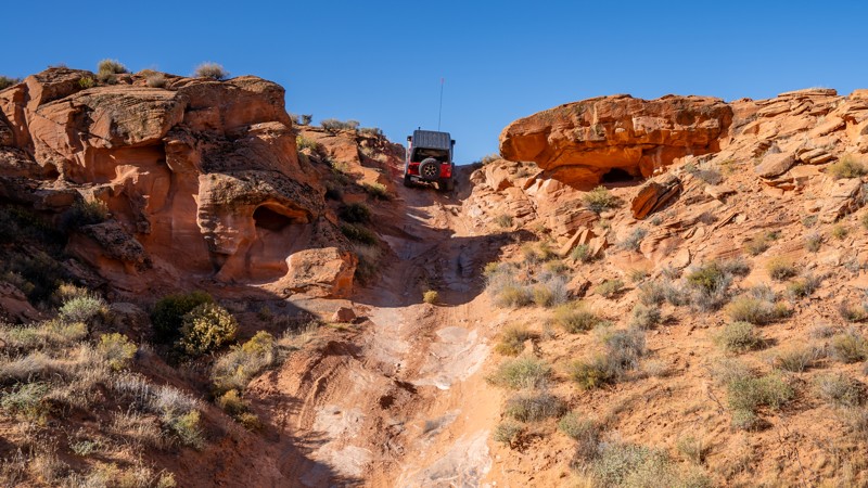
Razzle Dazzle takes you through nearly every type of terrain you can encounter on Sand Mountain. From rock obstacles and slickrock climbs to sandy washes and soft dunes, this trail is a full-day trek of exploring the many options available in the Sand Hollow area. With glimpses into a number of the extreme trails on the mountain, Razzle Dazzle is a great trail for beginners to get their feet wet or an awesome chase trail to watch your buggy friends get crazy.
Updated: 04/21/2026
The Pickle
Open
/
Moab, Utah/
1.14 miles/
About an hour
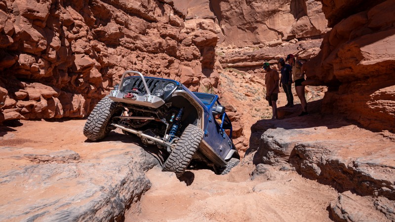
The Pickle is an extremely short 4X4 trail with only a few challenging obstacles. It follows a wash through a canyon less than 100 feet deep. With one extremely narrow, mandatory section, this trail is not recommended for full-size trucks. This is a great trail to test your off-road rig's suspension or learn how to scale the slickrock ledges that Moab is known for. It is also a bit cooler, with plenty of shade provided by the canyon walls.
Updated: 01/14/2025
Croton Road
Big Water, Utah
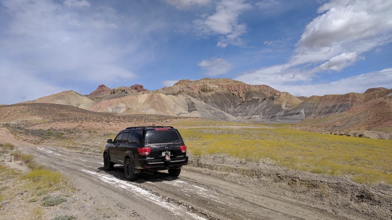
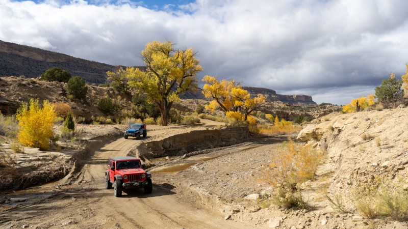
Croton Road is located in the Grand Staircase-Escalante National Monument, just north of Lake Powell. It is a great overland route option to connect the town of Escalante, Utah (SW of Capitol Reef National Park) to the Lake Powell/Glen Canyon Dam area. This trail will provide you with many scenic spots of the entire Grand Staircase-Escalante area, staying above most of the amazing terrain surrounding you. To the north of this trail is Hole in the Rock Trail, which has some amazing features such as Devils Garden and Zebra Slot Wash, which you can connect to Left Hand Collet Road, an amazing wash trail, the legendary Alstrom Point, and finally end up on Smoky Mountain Road.
Updated: 01/14/2025
Smoky Mountain Road
Big Water, Utah
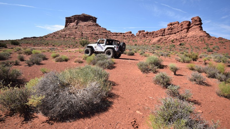
Have you ever wondered how a trail gets its name? Well, there is no mystery behind the naming of this trail. Smoky Mountain is aptly named due to the incredible active coal seam vents at the top of the trail, which have been burning for at least the last hundred thousand years or more! This trail is situated in the Grand Staircase - Escalante National Monument just north of Lake Powell. While not the most challenging trail in the area, this trail will take you on an epic, remote adventure through some of the most beautiful parts of Southern Utah. Once your tires hit the dirt, you will quickly start gaining elevation up to the top of Smoky Mountain. Turn after turn, majestic views of the surrounding desert plateaus will begin to appear. Take in the views, and take your time, as the shelf roads and steep walls may incite anxiety. At the top of the plateau on the short Coal Fires Road are the famous coal seam vents, which are not to be missed. A truly epic and unique experience, you can drive to these geological features. The smell of the burning coal and the glowing of the amber and mustard yellow residue along the walls of the coal seams provide an experience in itself. Overlanders can find ample camping along the way to soak in this amazing landscape and create memories that can be shared for years to come.
Updated: 09/03/2026
Woodenshoe Road
Blanding, Utah
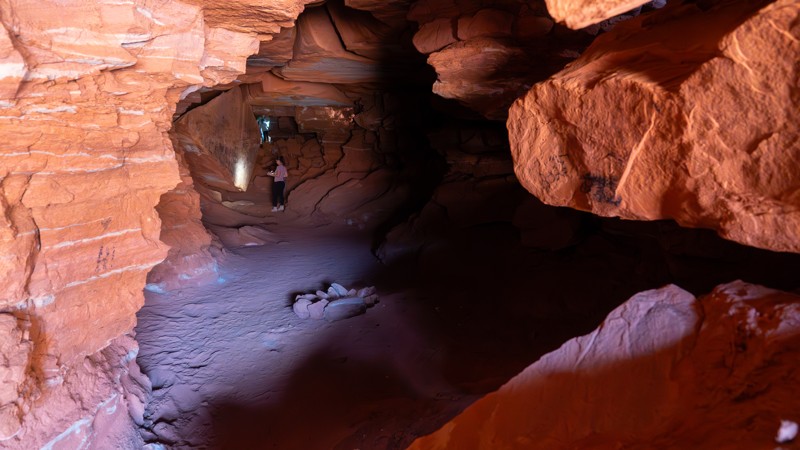
When you're looking for an overland adventure, it usually has to meet a couple of requirements. The first, it must be off-road, and as a close second as number two, it must hold incredible scenery. Woodenshoe Road in southeast Utah is all of that, and more. It is a gateway to an overland adventure of a lifetime. With the red colored cliffs lining the Colorado River, it starts near the remote Hite Outpost. From Hite, you can connect to trails in the lower desert for a single day trip, or for a true overland experience, connect to the high pines in the Manti-La Sal National Forest over to the Canyonlands Needles District. It is remote, so expect great camping with dark skies at night for memorable stargazing, go prepared, and be ready for adventure.
Updated: 06/10/2025
The Catacomb Spur
Moab, Utah
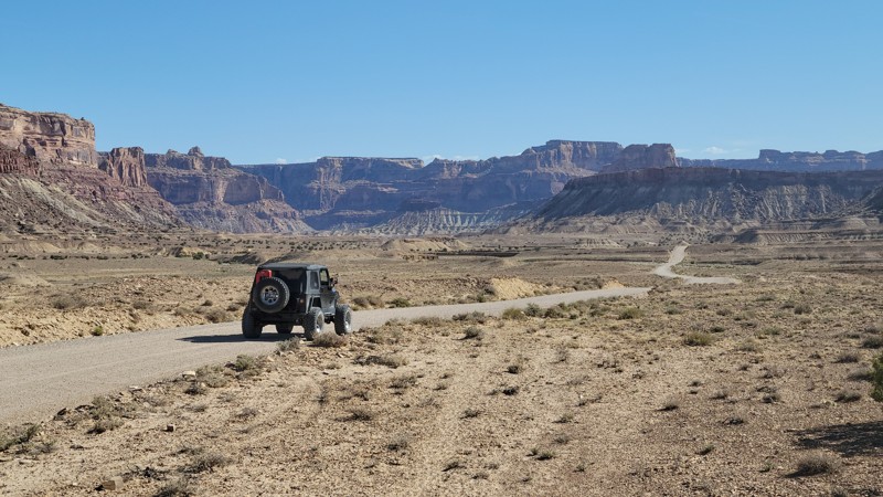
The Catacomb Spur is a uniquely hidden gem along the popular Chicken Corners Trail. Offering a short jaunt to the Wind Caves, also known as Catacomb Rock, users can wander a natural maze of wind-carved tunnels, where the air is cool, the views are spectacular, and the experience is peaceful. This trail offers fantastic camping with sweeping views across the canyons and mesas, as well as technical challenges the further along the trail you travel.
Updated: 07/01/2025
Buckhorn Draw Road
Green River, Utah
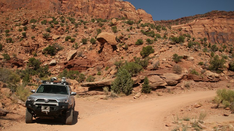
Buckhorn Draw is your gateway trail into one of America's truly majestic landscapes. The San Rafael Swell is an "Adventurers Paradise", offering unique opportunities to explore narrow canyons, track a dinosaur, camp under a "Dark Sky", and see world-famous Native American artwork all on the same trail. The easy access on gravel allows all types of adventurous travelers to get far back into the backcountry while still being on a maintained county road. With campsites lining the entire route, the toughest part of the ride will be choosing where to put down stakes.
Updated: 05/13/2025
Bridger Jack Road
Monticello, Utah
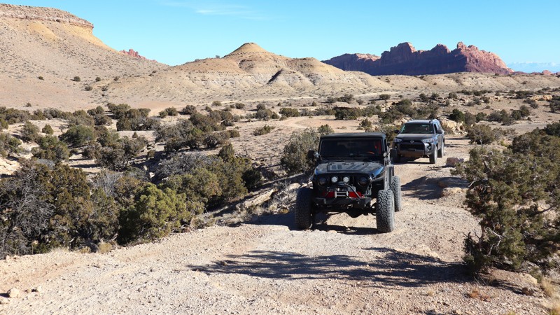
Bridger Jack Road offers nonstop scenic delights as it winds from the sandstone desert below Bridger Jack Mesa to the alpine spruce, pines, and aspens of the Abajo Mountains. Rock climbers flock to the area around the trailhead to scale the many sheer, claret sandstone buttes. Cathedral Butte and Boundary Mountain stand eternal watch over the long and often dusty trail. Massive, spectacular, and imposing, Salt Canyon drops away to the north with breathtaking viewpoints dotted along the trail. Only the hardiest venture down on foot. The saner travelers choose to camp along the rim and enjoy the colorful splendor below. Narrow winding shelf roads offer vast, unimpeded views and a little pucker factor for drivers and passengers. Climbing higher, the trail says goodbye to the sandstone desert's reds and buffs dotted with its juniper and salt brush and says hello to the cool, lush forest of pine, spruce, fir, aspens, and bigtooth maples of the Abajo Mountains. Deer and elk haunt the edges of the open meadows. Cool evenings demand a warm coat and invite a flickering campfire. Other trails beg to be explored. Life is good along this scenic track.
Updated: 12/31/2025
Black Dragon Wash
Green River, Utah
Black Dragon Wash combines incredible history, amazing high canyon walls, and even a few mild challenges along the way. Hidden back in the towering canyon walls, you will find some of America's best pictographs and petroglyph panels. The trail's name derives from a controversial pictograph still visible today. The trail winds through a narrow canyon as it climbs up into the majestic San Rafael Swell. Ideal for history buffs and stock-type 4x4s with high clearance, Black Dragon Wash is a must for those passing through the region.
Updated: 04/19/2024
Valley of the Gods
Mexican Hat, Utah
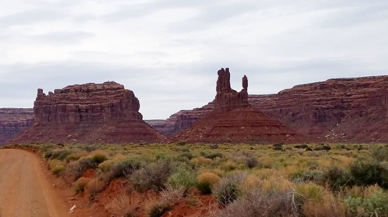
Valley of the Gods is a scenic sandstone valley that although only a quarter of the size of its big brother, Monument Valley, offers many similar stunning views along the route. The road through the valley is smooth for the most part, offering many places to pull off to take in the amazing sights. Many of the imposing rock formations are named, so use your imagination as you tour the area and see if you can spot formations such as "Lady In The Bathtub" or "Rooster Butte."
Updated: 05/26/2024
La Sal Pass
Spanish Valley, Utah
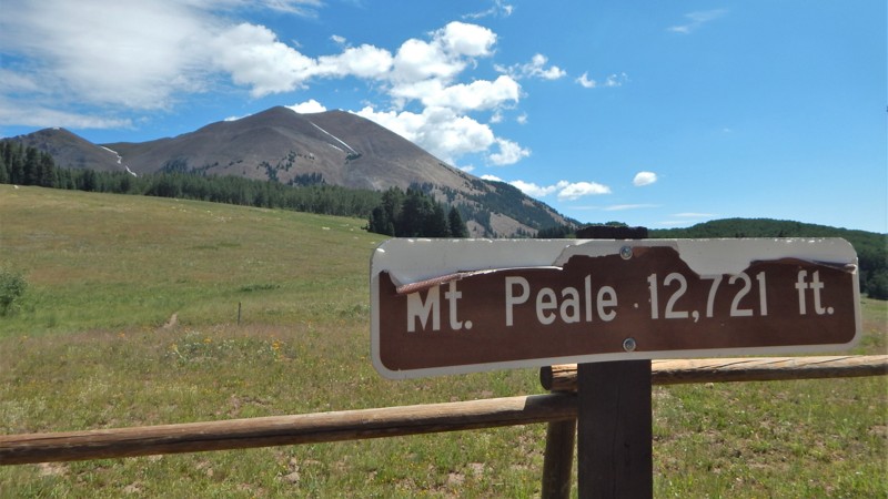
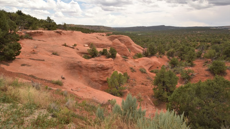
Break away from the valley heat in Moab and climb into the clouds along the La Sal Pass trail. Within this region of the Manti-La Sal National Forest, rocky peaks tower over 12,000 feet. La Sal Pass zigzags through the pine and aspen trees before summiting the picturesque pass between the mountain tops. The trail offers a beautiful half-day trip to the two small mountain lakes near the summit. The trails early section is still recovering from a recent fire, but the vegetation at higher elevations eventually envelopes you in a very dense forest with abundant wildlife.
Updated: 12/31/2024
Elk Mountain
Blanding, Utah
Elk Mountain is about finding a diverse overland experience and enjoying the solitude. Traveling from the colorful desert down low to the green pines in the higher elevations, you'll have a unique and memorable offroad experience. The trail is ideal for adventurers looking to escape the crowds and take their time soaking in the scenery. The road is well maintained, but you will want to take it slow to take it all in. If you're planning on loading up on supplies in Blanding, you can hit the trails for a multi-day adventure by connecting all way up to Beef Basin and Canyonlands in the north or the remote Hite in the south. Filled with plenty of scenic opportunities and several options for star-filled camping, be sure to plan a few days of adventure for this trail and all its optional connecting routes.

Updated: 04/22/2024
Warner Valley
Saint George, Utah
Warner Valley Road is considered a historic gateway to many different offroad routes within southern Utah and the Grand Parashant National Monument. The route travels around the southern perimeter of the Sand Hollow State Park area. You'll have easy access to numerous primitive campsites and the 4x4 trails that crisscross this unique and colorful landscape. Along the way, the trail has numerous points of interest, including Fort Pearce. The fort's 7-8 foot walls are divided into two rooms and are part of the National Register of Historic Places. The small structure is one of only three remaining stone guard posts built during Utah's Black Hawk War. This war was a period of intermittent raiding between 1865 and 1870, during which the Ute Tribe, led by Chief Black Hawk and other Native American allies, attempted to drive the Mormons from the Ute traditional homelands. The site was selected in the spring of 1866, above the only natural spring for miles. Fort Pearce Wash was a primary route for Ute-Navajo horsemen who traveled to raid the livestock herds and settlements within the St. George Basin. Be sure to leave time for visiting the other highlight within Warner Valley, Dinosaur Tracks, where approximately 400 dinosaur tracks and footprints can be found. Some tracks are well preserved, displaying toe pads and claw marks of the large Eubrontes and smaller Grallator.

Upgrade your Membership
Unlock all of the details on every Trail Guide and Scout Route.
Start a 7-day Free TrialBrowse Trails in Utah by City
Browse every Utah city with offroad trail guides.
Community
Partners

