



By clicking "ACCEPT", you agree to be the terms and conditions of each policy linked to above. You also agree to the storing of cookies on your device to facilitate the operation and functionality of our site, enhance and customize your user experience, and to analyze how our site is used.
Nevada Off-Road Trails
93
Total Trail Guides 87

987
Detailed Waypoints 129
Try a Free 7-Day Trial and unlock it all
Start a Free Trial Most Recent Trail Reviews
Rated 3/5
Open
Visited: 09/15/2026
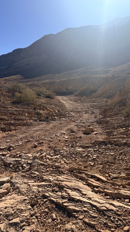
Unfortunately Kodachrome Road appears to have been recently graded. The fins have more or less been obliterated, leaving mostly a crush box. The deeper rutted section of the wash on the Vegas site has...

H
HotRatShit
Rated 1/5
Open
Visited: 09/12/2026
The rock fins are no longer there.. I’m not sure if they were washed out or were removed by someone. If the landmark wasn’t marked on the map I’d never actually know there were rock fins. I ran the wh...
Mario
Rated 5/5
Open
Visited: 09/11/2026
awesome place to camp and for a day trip . the trail is smooth. but gets busy on the weekends.

Dex Offroad
Rated 5/5
Open
Visited: 09/06/2026
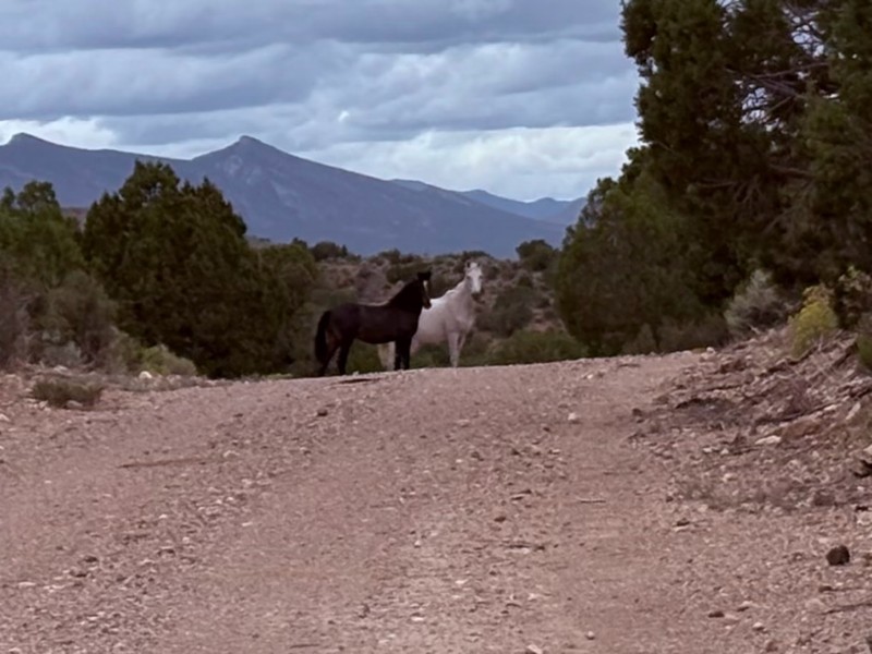
Very quiet scenic drive with lots of off shoot trails to forested areas for dispersed camping. Many other trails in the area to connect with including the Silver State Trail.
KB
Kevin Bigley
Rated 4/5
Open
Visited: 09/06/2026
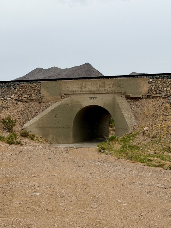
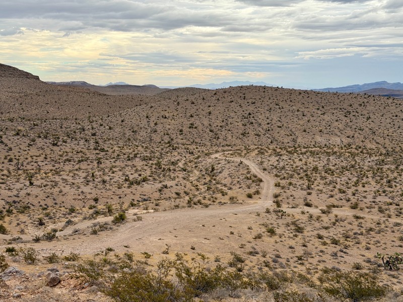
Railroad Canyon is a short rock crawling trail that is super close to Las Vegas. Easy trail acceess is made off the south end of Las Vegas Blvd. Begin by heading under the interstate overpass and th...

Bill
Rated 5/5
Open
Visited: 09/04/2026
Just as described. Ran it West to East. Camped at the campground. Stars were amazing. Saw no one entire time.
KB
Kevin Bigley
Rated 2/5
Open
Visited: 08/27/2026
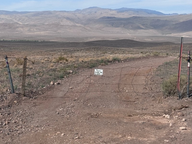
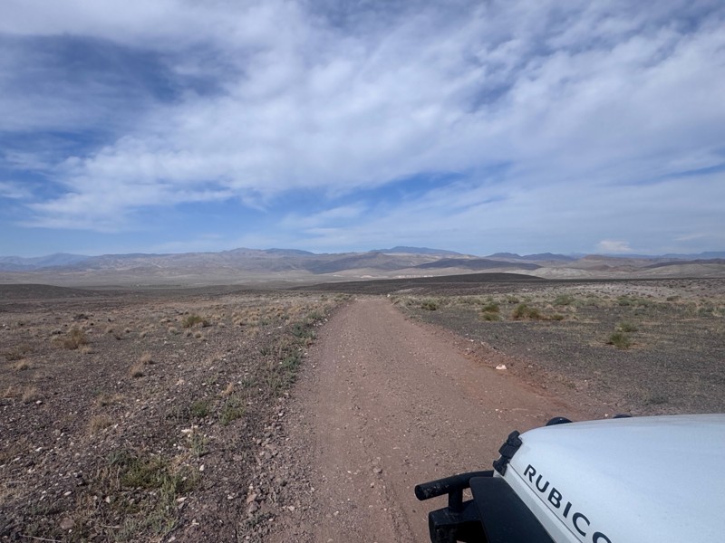
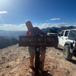
For the most part, this road is not graded. There were some sandy spots and water obstacles ( some avoidable and others not).
The last 1/3 of the trail that ends at Wild Horse Trail was pretty rough ...
Kim Soucek
Official Crew
No Rating
Open
Visited: 08/27/2026
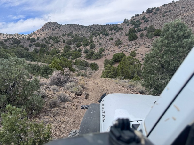
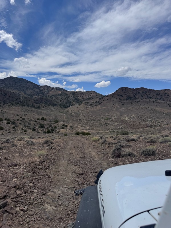
This trail is so fun! Twisty turns and steep drops and climbs- with beautiful rugged back country scenery the whole way.
On the Dayton side descent, I was rewarded with majestic views of the mountai...
Kim Soucek
Official Crew
No Rating
Open
Visited: 08/20/2026
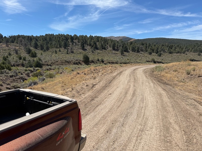
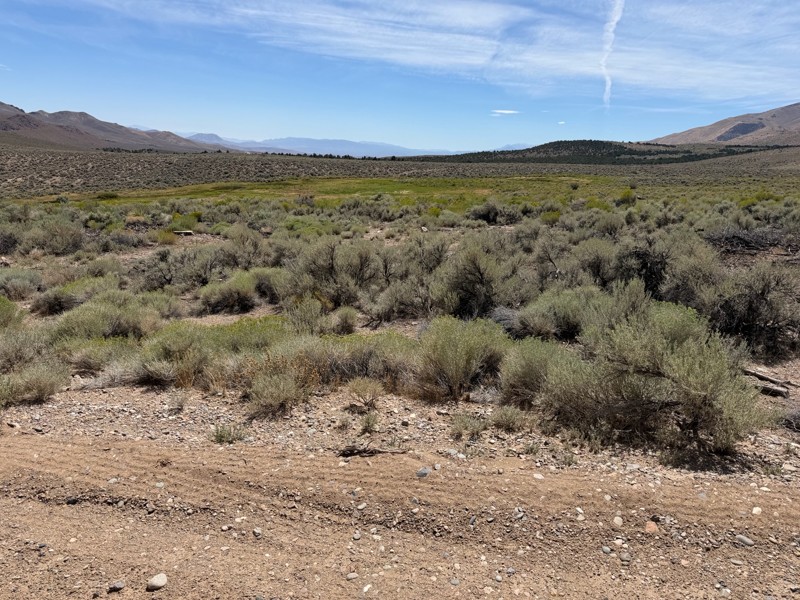
I’m new to this and don’t know what folks consider graded but to me this is not a graded road. Maybe it’s my truck but this route today was about 1/4 smooth and the rest was moderately very bumpy. Lot...
DD
Darius Davenport
No Rating
Open
Visited: 08/19/2026
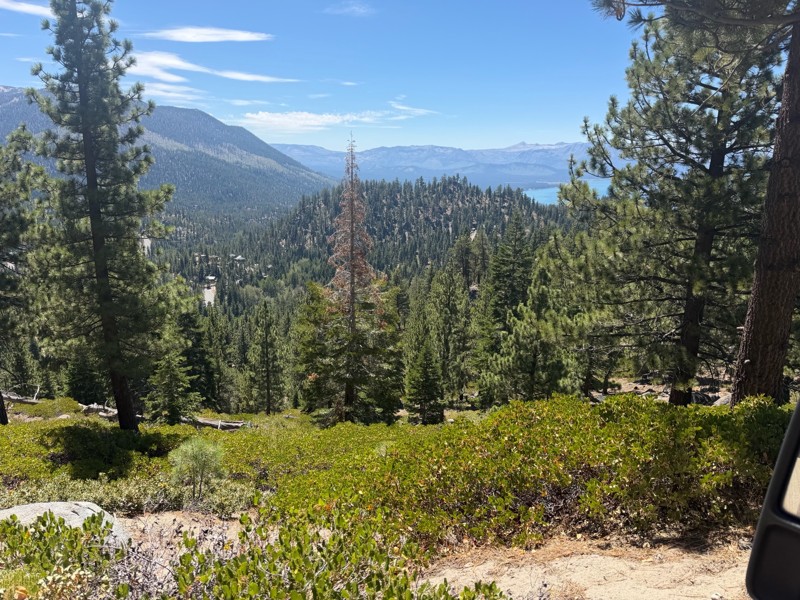
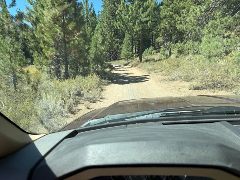
I rode Genoa Peak road from SR 50 to Logan Loop which brings you back to Genoa Peak and then south until Kings Berry Grade. I’m a very experienced driver but new to off roading. I actually wouldn’t ca...
DD
Darius Davenport
No Rating
Open
Visited: 08/11/2026
Per the MVUM, the trail is seasonally open. As always, check current fire restrictions/closures before venturing out.

Trails Offroad
Official Crew
Rated 3/5
Open
Visited: 08/10/2026
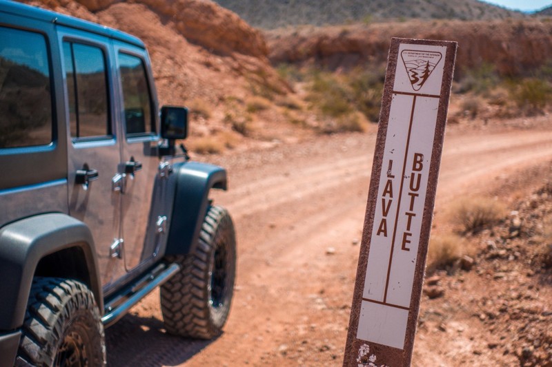
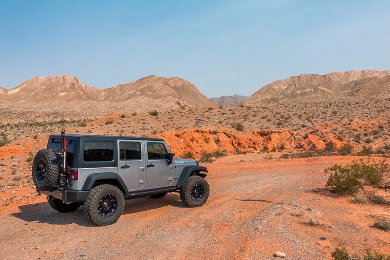
This is a quick and easy trail that is close to town. The trail is well groomed and accessible for beginners or stock rigs. Open desert landscape with volcanic rock all around here. Take the trail...
Bill
Rated 4/5
Open
Visited: 07/29/2026
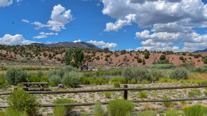
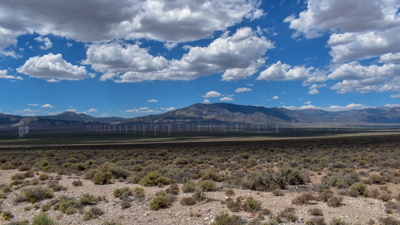
Something has always drawn me to this area. I’ve been coming out here for nearly 15 years prospecting and mining. The pond at Sacramento Pass is stocked, and I’ve had a decent dinner from what I caugh...

Cory Wooldridge
Official Crew
Rated 4/5
Open
Visited: 07/29/2026
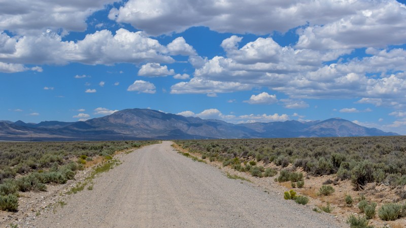
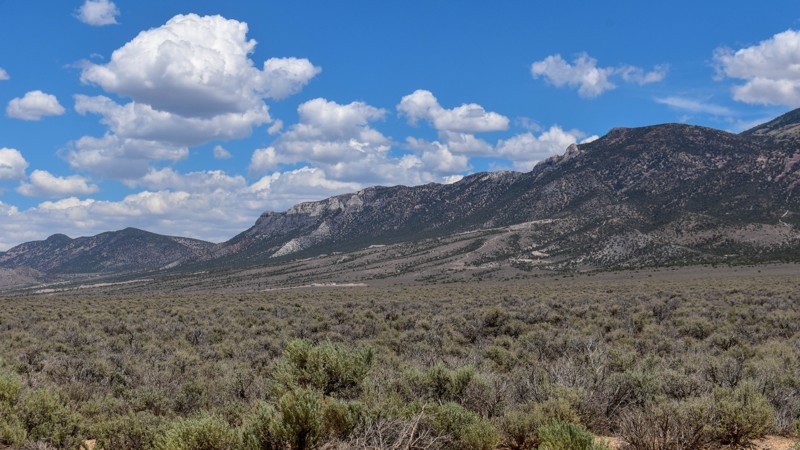
This trail gets 4 stars, not for the trail itself but for the access it provides. We have camped up Willard Creek Rd many times over the years. The lower site along the creek currently doesn’t have mu...
Cory Wooldridge
Official Crew
Rated 3/5
Open
Visited: 07/29/2026
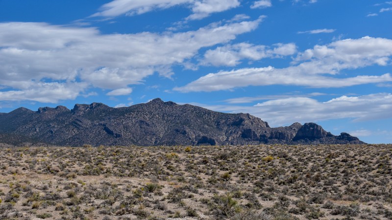
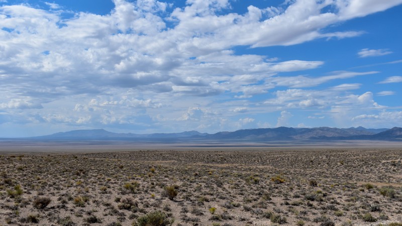
We love exploring old mines and ghost towns, even if only from the road. The west side of the Snake Range is rich in mining history, with silver and tungsten at the extremities and gold at the heart i...
Cory Wooldridge
Official Crew
Rated 3/5
Open
Visited: 07/29/2026
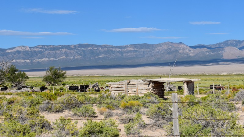
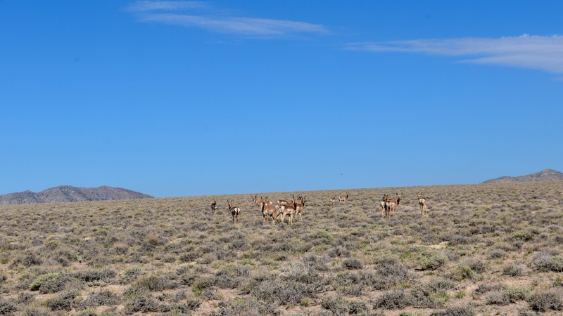
The old cabin and well way out in the middle of the valley were a neat surprise. There was a herd of antelope that was happy to stare back at us as we stopped to take pictures. The high-water line and...
Cory Wooldridge
Official Crew
Rated 3/5
Open
Visited: 07/28/2026
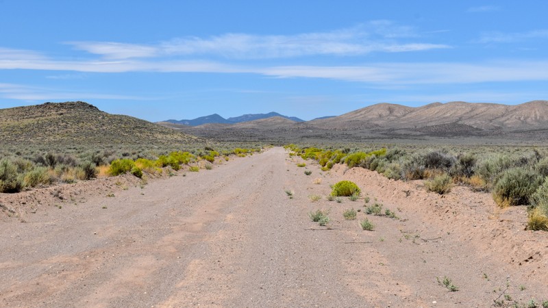
I love how smooth some of these roads are, the lack of trash, ruts, potholes, etc, make so many of these roads out here that much more enjoyable. Not much to see along this trail, but the distant view...
Cory Wooldridge
Official Crew
Rated 4/5
Open
Visited: 07/27/2026
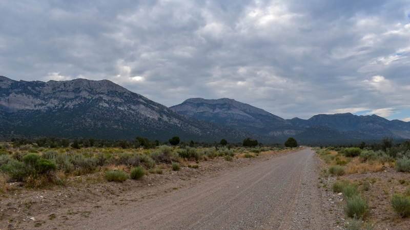
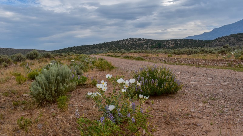
This is a gem of a dirt road. The entire network of trails south of Ely has been a fun week to explore, and North Cave Valley Road delivered an easy stretch of dirt that carried us for miles through o...
Cory Wooldridge
Official Crew
Rated 4/5
Open
Visited: 07/27/2026
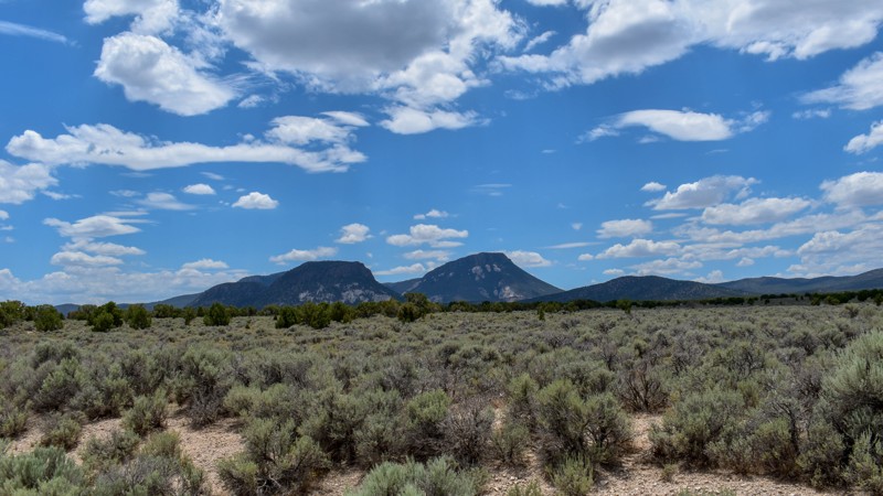
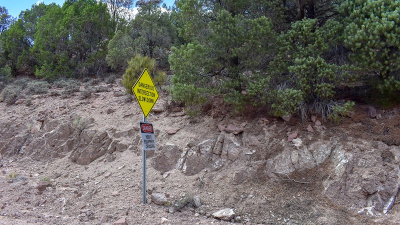
I love the way the clouds cast shadows, dotting the valley flow and framing the mountain ranges in different perspectives as time passes. The jagged mountains were neat, the horses were active as we m...
Cory Wooldridge
Official Crew
Rated 3/5
Open
Visited: 07/27/2026
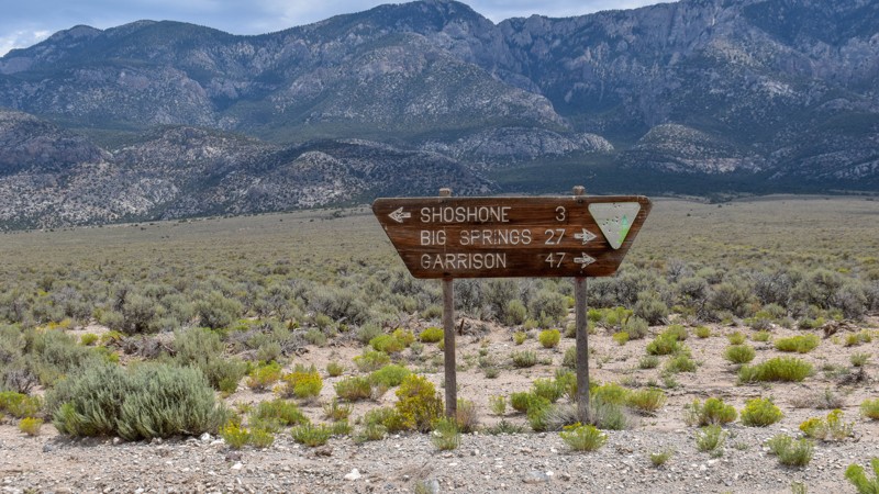
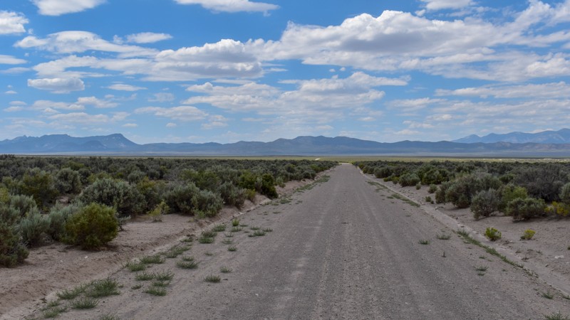
Its a beautiful, open trail with picture perfect tall sagebrush and the east and west ends, with small sage in the low lying valley named Baking Powder Flat. There were some quarry work areas which ma...
Cory Wooldridge
Official Crew
No Rating
Open
Visited: 07/26/2026
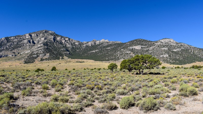
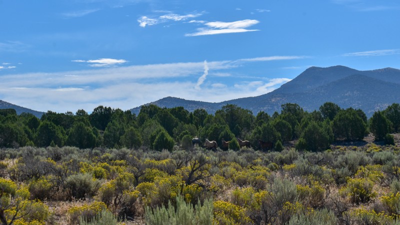
This trail is between a 4 and 5 star for me. I love the changing scenery and juniper tress. Seemingly endless valleys with mountains bordering the trail, groups of wild horses, easy dirt road. One win...
Cory Wooldridge
Official Crew
Rated 4/5
Open
Visited: 07/26/2026
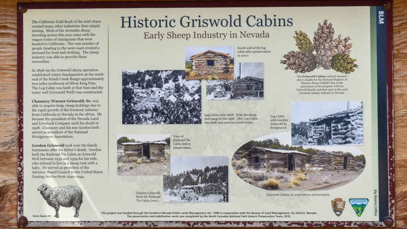
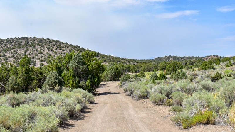
The history along this trail was a pleasant surprise. The scenery was nice, a couple of old small ruins barely visible through the sage to the west of the road, and a larger stacked wall to the west n...
Cory Wooldridge
Official Crew
Rated 3/5
Open
Visited: 07/26/2026
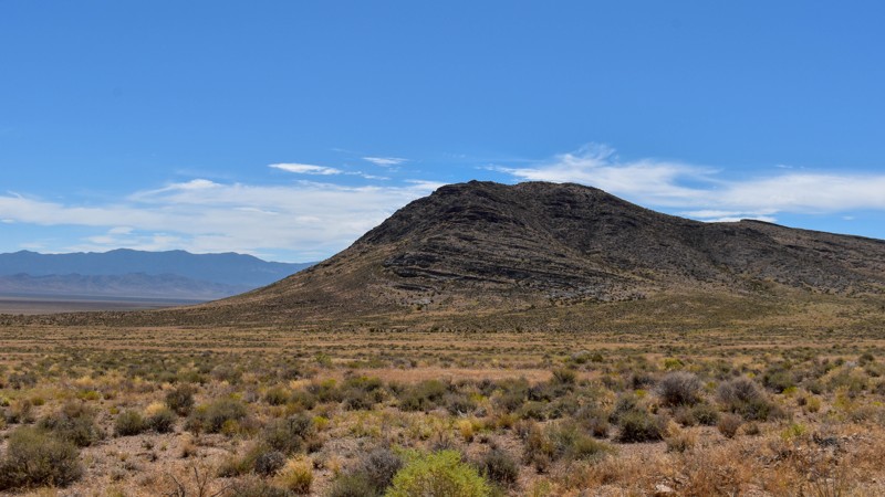
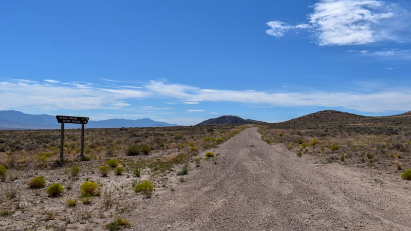
Another connector trail with gorgeous views and Coyote Spring or Stonewall Spring depending on your map at the south end. It's nice and green at the spring, but fenced and private property. Not much t...
Cory Wooldridge
Official Crew
Rated 3/5
Open
Visited: 07/26/2026
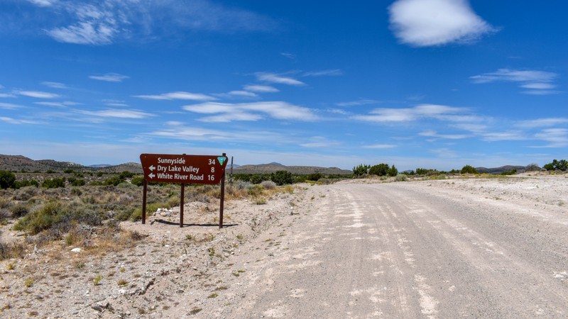
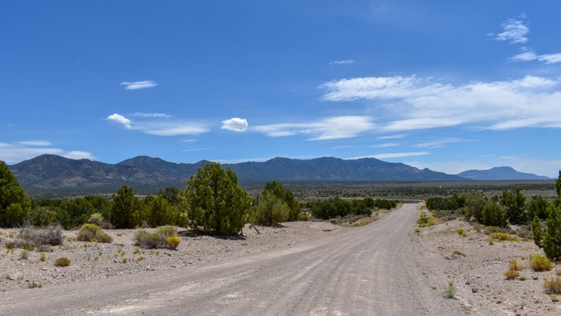
We camped in Spring Valley between Pioche and Ely for a week and went to the hot springs a couple of times taking different paths each time, this was by far the quickest and easiest way across. The vi...
Cory Wooldridge
Official Crew
Rated 3/5
Open
Visited: 07/26/2026
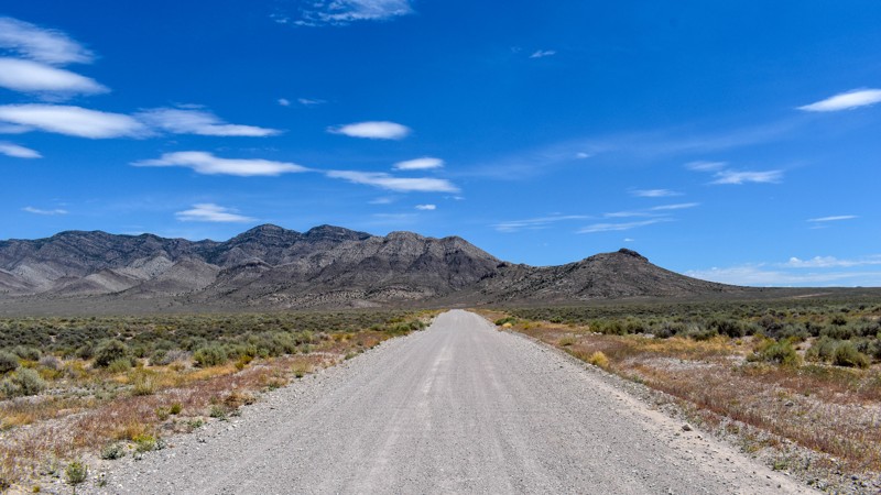
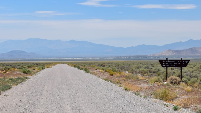
We've passed by this road when coming up from the south to go to Hot Creek and used the main entrance further north several times not knowing this was here. Coming up from the south this cuts off a li...
Cory Wooldridge
Official Crew
Rated 3/5
Open
Visited: 07/24/2026
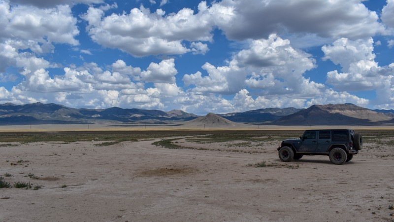
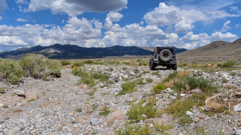
The maps imply this was once a decent road, either end of it still are, but the middle is not. There are sections where any trace of the road has been washed away into rocky gravel stream beds, with p...
Cory Wooldridge
Official Crew
Rated 5/5
Open
Visited: 07/24/2026
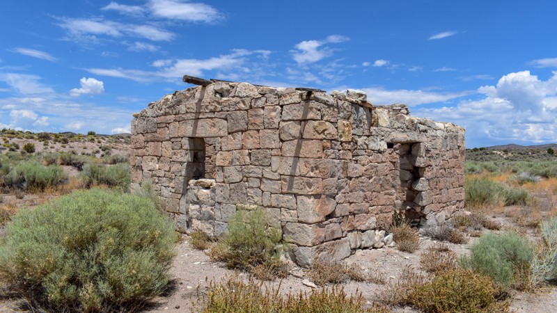
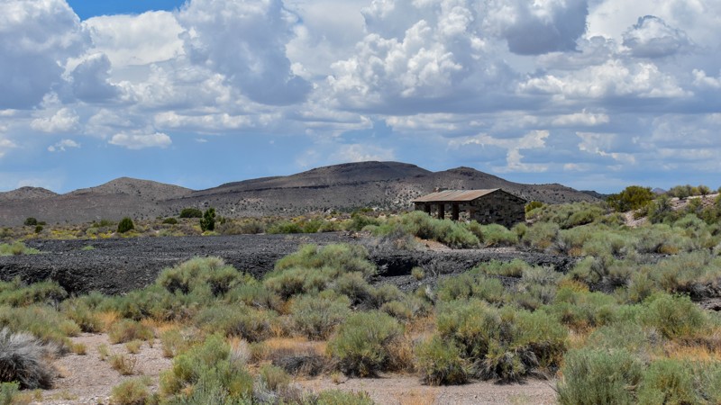
The maps of this area are very confusing and contradictory. Researching this trail, the trail name should have reached the old ghost town site, which at the time of mapping I thought was only a local ...
Cory Wooldridge
Official Crew
Rated 2/5
Open
Visited: 07/24/2026
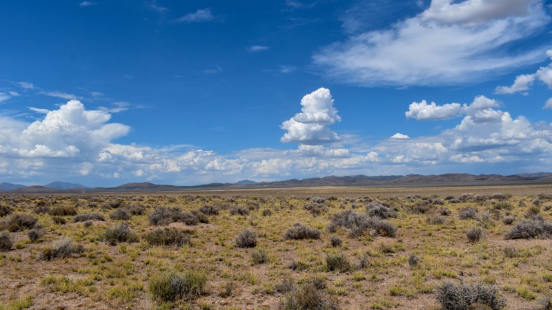
Forget the photos in the first review, pics here, notes there.
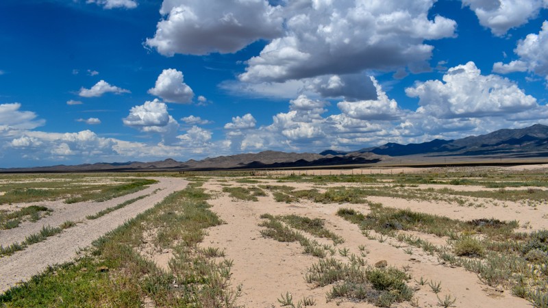
Cory Wooldridge
Official Crew
Rated 2/5
Open
Visited: 07/24/2026
This trail does offer expansive views, although not as exciting as others. There was a herd of antelope at Bullfrog Reservoir, which to us desert dwellers is called a tank, an earth berm with what I a...
Cory Wooldridge
Official Crew
Rated 3/5
Open
Visited: 07/24/2026
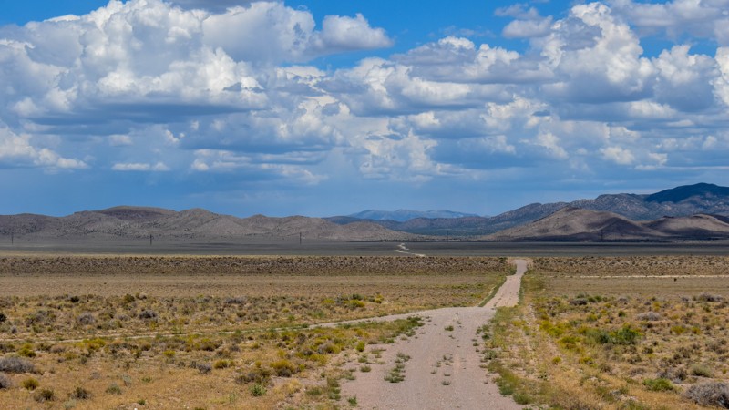
We got spoiled with the more northern mountainous trails, this one is a good connector during the dry months to get somewhere else in Cave Valley. The charcoal ovens though, are absolutely worth the t...
Cory Wooldridge
Official Crew
Rated 3/5
Open
Visited: 07/24/2026
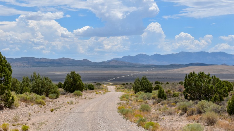
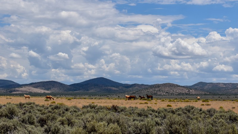
The wild horses and the old smelter slag, cabins, and charcoal ovens in the distance were the trail highlights for us. I prefer the trails further north for the scenery and vegetation, but the wild ho...
Cory Wooldridge
Official Crew
Rated 4/5
Open
Visited: 07/24/2026
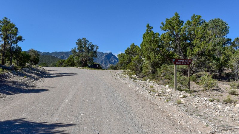
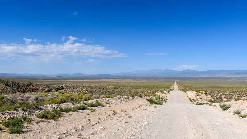
We took Patterson Pass Rd to Shingle Shortcut and onto Shingle pass to get to the Hot Spring Creek across the 318 near Dave Deacon campground. The ride was easy going, enjoyable and pretty. Several bl...
Cory Wooldridge
Official Crew
Rated 3/5
Open
Visited: 07/24/2026
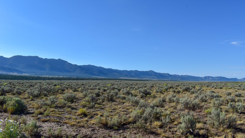
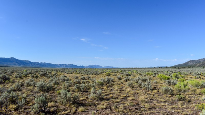
Compared to the surrounding trails, I gave this a 3 star rating. It is still a pretty trail. I do not like mud, and the low lying areas are that type of slick silty mud that could easily cause issues....
Cory Wooldridge
Official Crew
Rated 5/5
Open
Visited: 07/23/2026
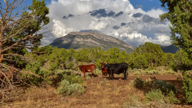
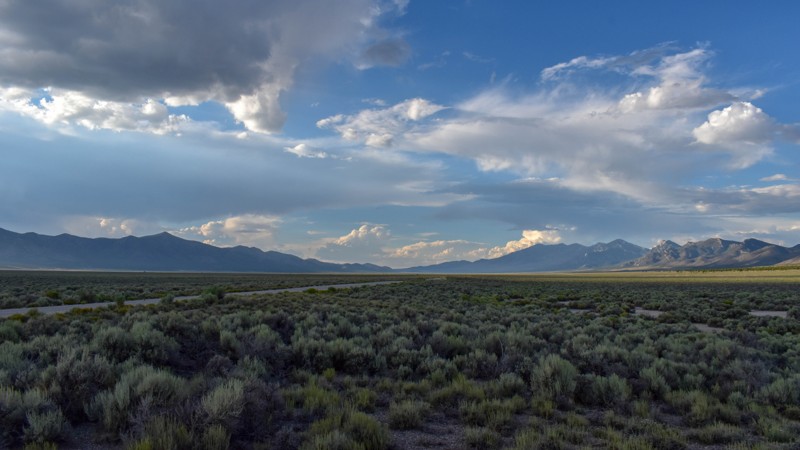
This trail was gorgeous. I like the scenery and the feel of the higher country trails in the northern area of Cave Valley more so than the southern. All in all, I haven't found any flat out boring roa...
Cory Wooldridge
Official Crew
Rated 4/5
Open
Visited: 07/23/2026
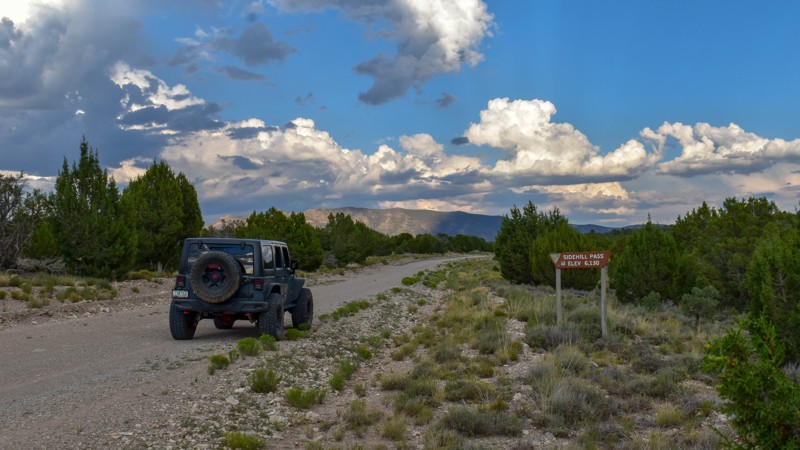
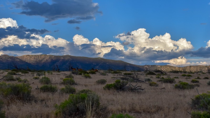
This trail had the most wildlife of any of the trails on this trip. We saw multiple elk, deer, and pronghorn antelope. Overall, this is a very pretty drive, and the easiest access from the east into C...
Cory Wooldridge
Official Crew
Rated 5/5
Open
Visited: 07/23/2026
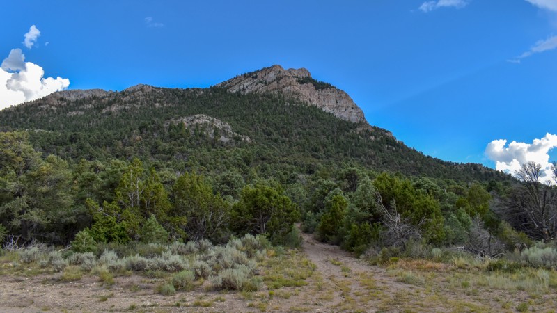
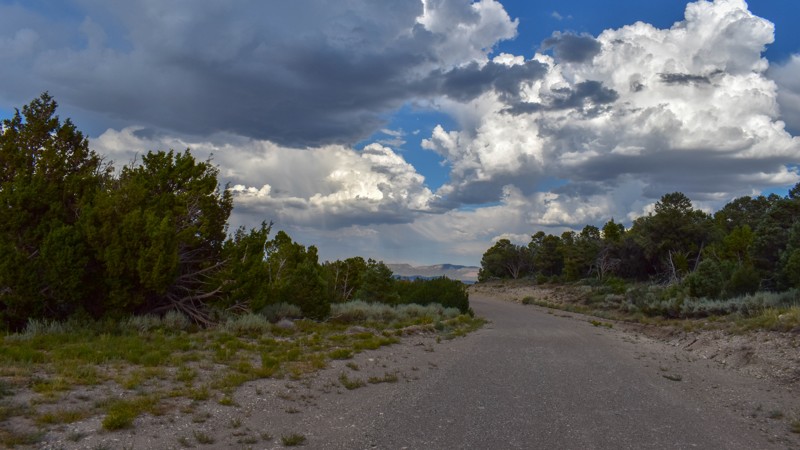
We've camped at Patterson Pass several times, but this was the first time exploring into Cave Valley. This area is gorgeous, the roads were just my style, and the weather was great. The evening monsoo...
Cory Wooldridge
Official Crew
Rated 4/5
Open
Visited: 07/12/2026
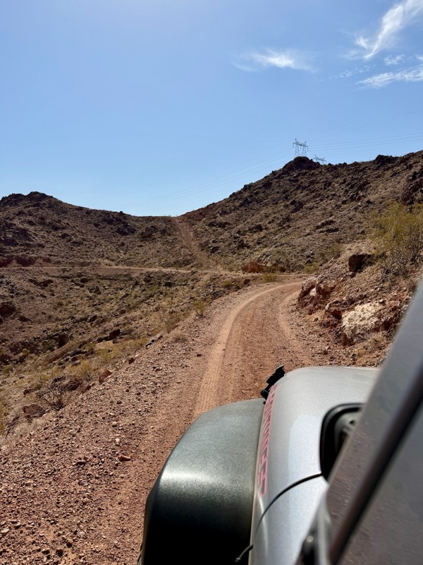
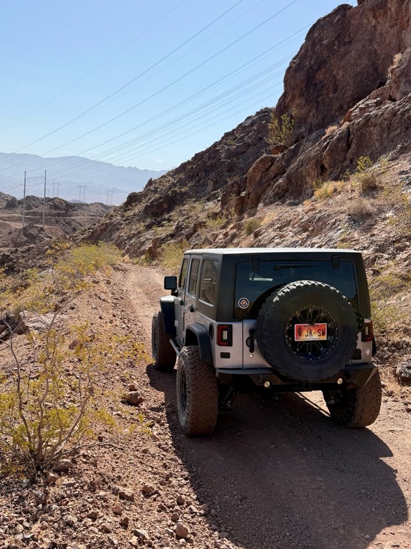
This is a short but exciting trail. You begin by climbing a series of rocky switchbacks that serve as access to the powerlines that tower above you. Don’t get distracted by the scenic views of Lake ...
Bill
Rated 5/5
Open
Visited: 07/06/2026
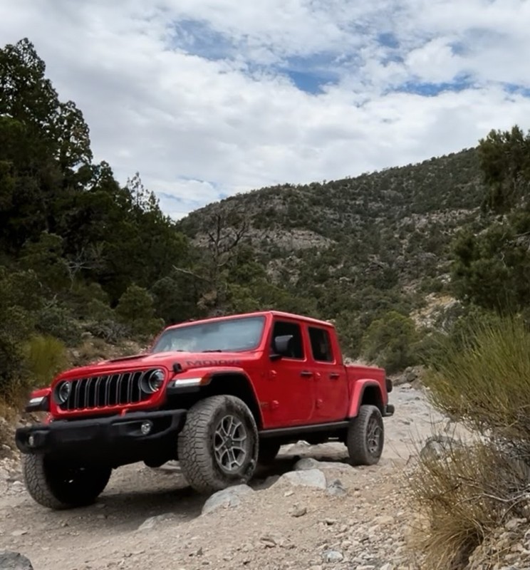
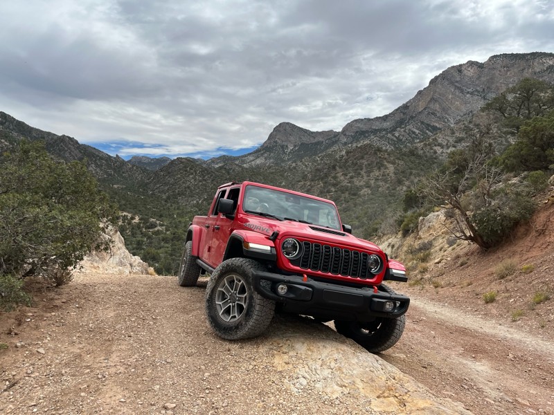
Really Rocky Road - Lift Kit recommended
EC
Edgar Carrillo
No Rating
Open
Visited: 06/29/2026
Joined this at Waypoint 12 of Potosi Pass Road. This isn’t a trail; it’s a four lane wide, mostly gravel, well graded, racetrack. Watch out for locals running at high speeds. It’s worth taking it t...
KN
Karen Nowak
No Rating
Open
Visited: 06/28/2026
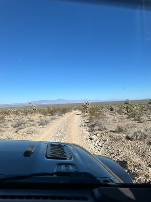
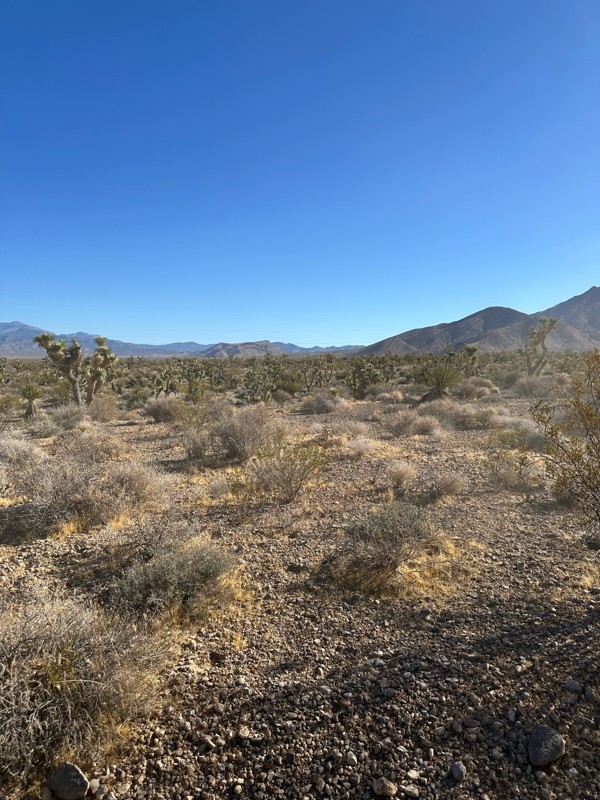
Have done this route before and the problem with Google sending you off course to get to the trailhead off Highway 160 has been solved. It now finds the Potosi historical marker and its attendant le...
KN
Karen Nowak
Rated 5/5
Open
Visited: 06/21/2026
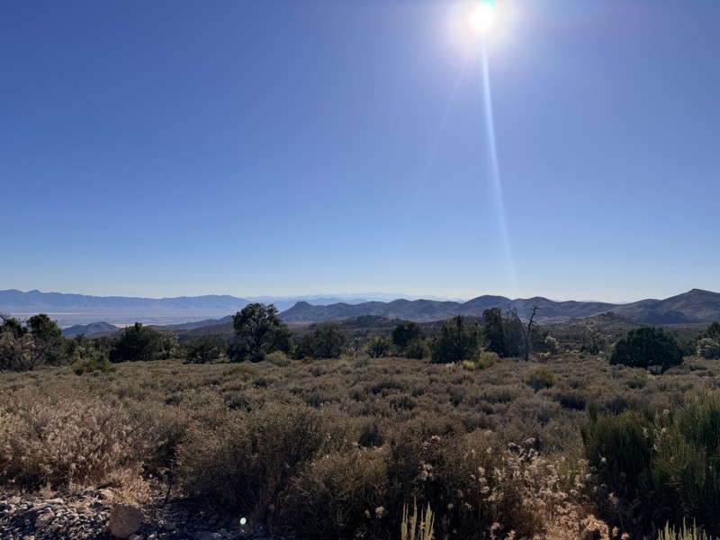
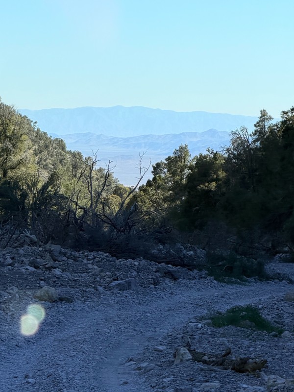
pretty easy trail with really awesome camping opportunities!
AK
Abby Kersey-Mendez
Rated 5/5
Open
Visited: 05/31/2026
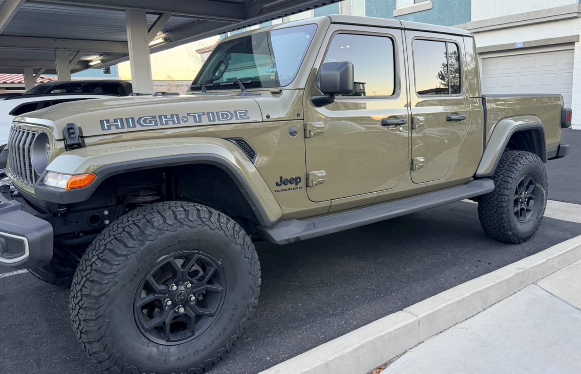
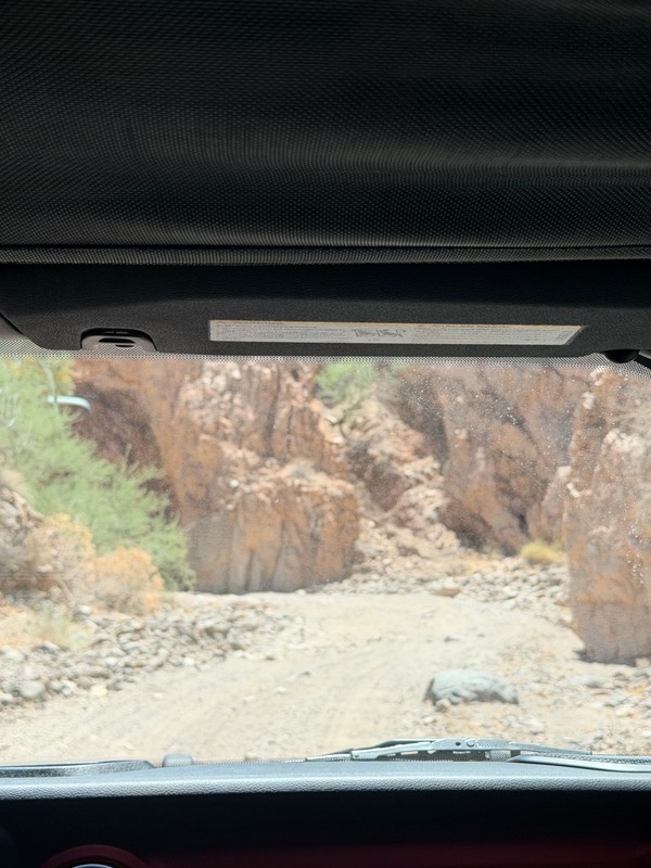
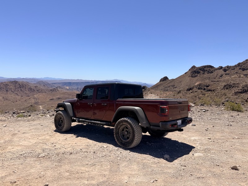
harder than we expected. drove a jeep gladiator for the first time. we got through it but the end was a bit dicey.
AK
Abby Kersey-Mendez
Open
Visited: 05/25/2026
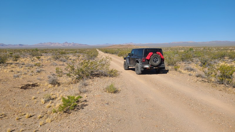
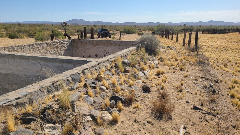
When hiking, watch out for the Cholla cactus and its spines. These are no joke. The microscopic thorns fishhook-like barbs that are very difficult to remove and even stick to your hands when trying ...

Robert
Official Crew
Rated 5/5
Open
Visited: 05/24/2026
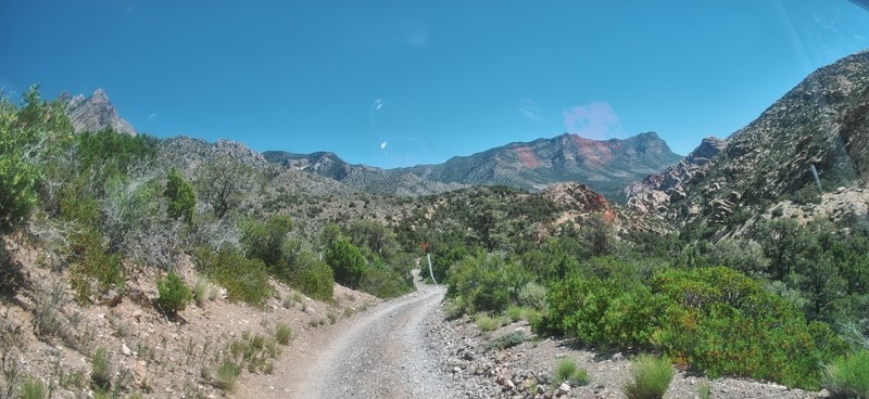
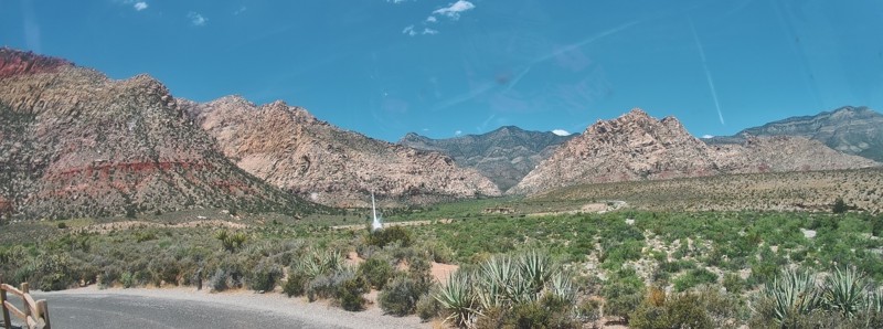
Completed this trail in my Gladiator Rubicon with a 2" lift and 35" tires. It was a pretty easy trail and found the rock Garden a nice challenge and had no problems getting through it. The trail was v...

PBenn
Rated 5/5
Open
Visited: 05/23/2026
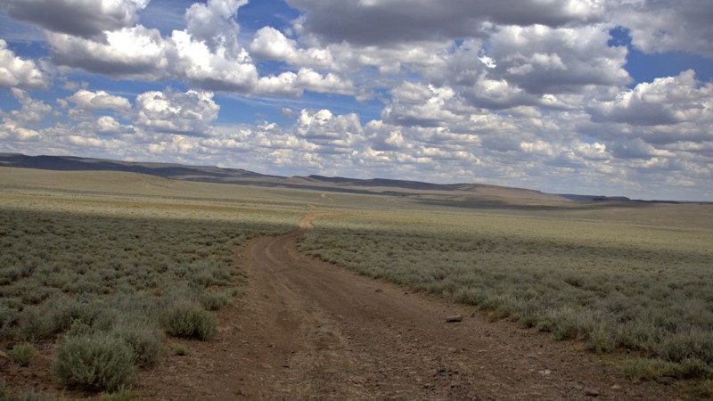
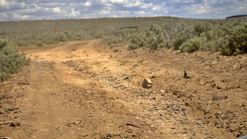
We used High Rock Canyon Road to reach the northern entrance of the High Rock Canyon Trail, and it was a great way to kick off the adventure. While the road isn't particularly difficult, the sweeping ...

Rose Meirs
Official Crew
Rated 5/5
Open
Visited: 05/23/2026
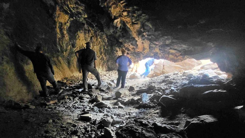
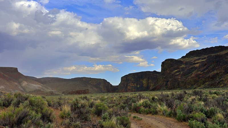
We tackled this trail with a group of six Jeeps and a Colorado ZR2 Bison, and while the route is not particularly difficult, it delivers plenty of adventure along the way. Expect narrow sections where...
Rose Meirs
Official Crew
No Rating
Open
Visited: 05/22/2026
Ran this trail from west to east. The turn off from Sandy Valley Road is easy to miss. The whole area is rich in mining history so it’s interesting to explore.
KT
Ken Turzinski
Rated 5/5
Open
Visited: 05/18/2026
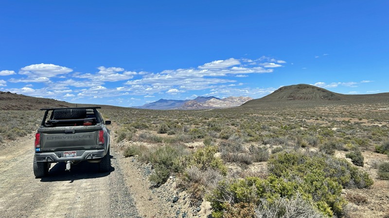
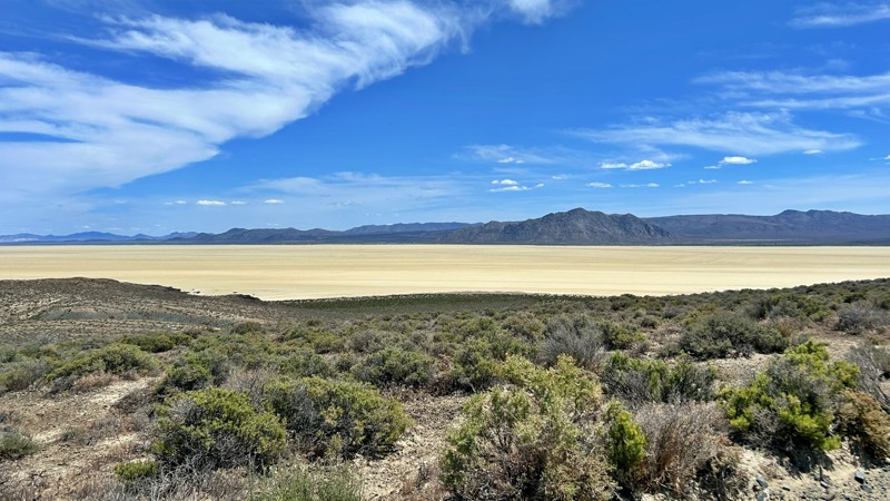
Our group used Soldier Meadows Road as the gateway to our basecamp and as the main route for exploring the incredible Black Rock Desert and High Rock Canyon region. Be prepared for plenty of washboard...
Rose Meirs
Official Crew
Rated 5/5
Open
Visited: 05/18/2026
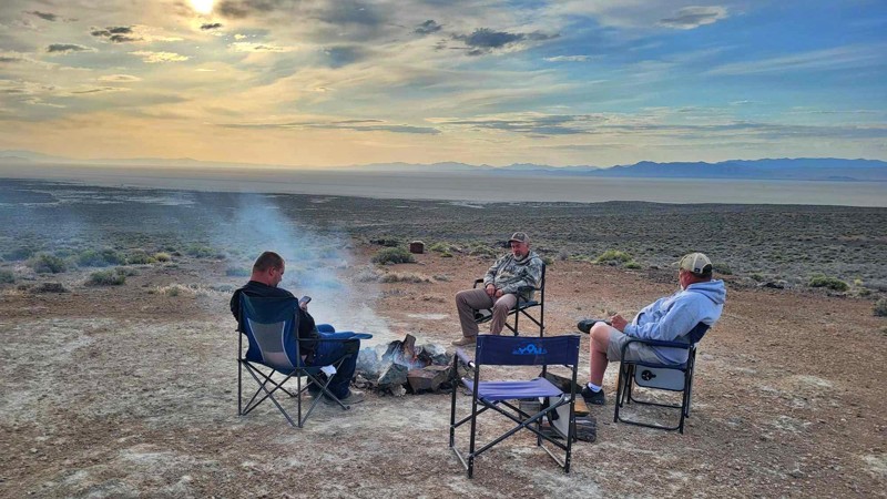
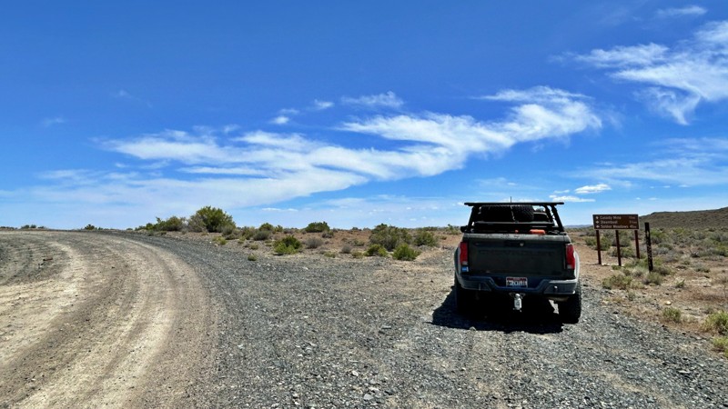
I chose this trail as our base camp and staging area for a Memorial Day weekend adventure exploring the Black Rock Desert and High Rock Canyon. It turned out to be the perfect spot for our group, acco...
Rose Meirs
Official Crew
Rated 5/5
Open
Visited: 05/18/2026
Glad to see this trail open again! Ran in about 3 hours and thoroughly enjoyed it.
Trail will be closed again September 2026 for further repair, so get out there while it's open!

Danny Britton
Most Popular

Updated: 10/15/2024
Powerline Wash Road
Nelson, Nevada
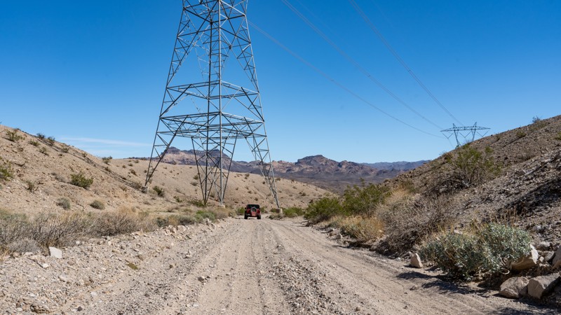
Powerline Wash Road is a short, dead-end spur road off Aztec Wash that travels a little over 1 mile down a washboard, rutty, and bumpy trail leading to a remote campsite along the Colorado River. Located near the town of Nelson and within the Lake Mead National Recreation Area, this trail is easy and can be navigated by any high-clearance vehicle. Wet conditions could necessitate the need for 4wd. The campsite at the end of the trail lies under the high-voltage powerlines, which might not make for the most restful night's sleep.
Updated: 10/15/2024
West Rim Alternate
Amber, Nevada
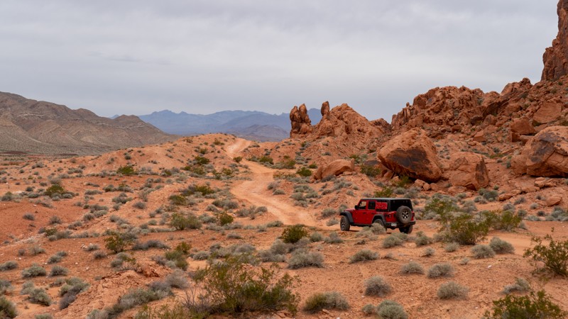
Another option along the west side of the rocks is West Rim Alternate. This is a slightly rockier version of West Rim but also provides access to Hidden Canyon. Due to a few rocky patches and a small V notch, 4WD is required. Although it may not be overly difficult or exciting, it is a great alternative to the Logandale Main Loop to get away from the crowds. Camping is not an option directly on this trail, but the nearby Logandale Main Loop has plenty of options.
Updated: 10/15/2024
Wieber Wash East
Moapa Valley, Nevada
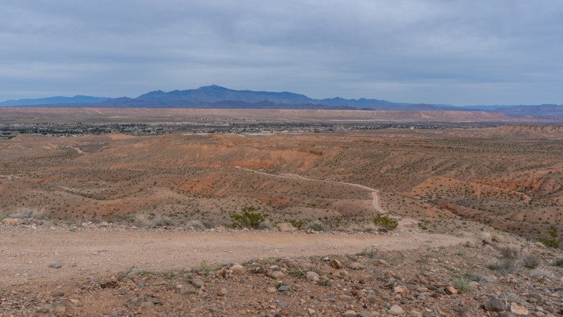
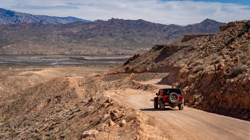
Wieber Wash East is a sandy and rocky trail that guides users from the small towns of Logandale and Overton uphill toward the Logandale Trails network. An overlook at its west end provides excellent views in all directions, including the Valley of Fire State Park. The rocky uphill climb at the trail's west end requires 4WD and possibly a spotter if you do not have much experience, as a heavy right foot on the loose rock could cause problems. Although camping was not observed directly along this trail, the nearby Logandale Trails network has plenty of options.
Updated: 10/15/2024
Mormon Mesa Road
Moapa Valley, Nevada
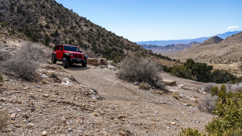
Mormon Mesa Road is a maintained road crossing its namesake mesa, just east of Moapa Valley. The trail rises from the valley quickly before leveling out and keeping relatively straight. Once you reach the gate on the east side, the trail will descend again into the Virgin River Valley below. No vehicles should have any issues with this trail. Many camping opportunities lie on top of the mesa but are not very friendly to ground tents due to the rocky nature.
Updated: 11/14/2024
Potosi Spring Road
Mountain Springs, Nevada
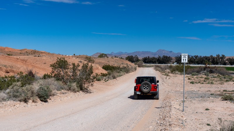
Potosi Spring Road is a short, dead-end spur road leading to the site of the Potosi mine and mining camp, the oldest mine in southern Nevada. Originally located in 1856, when a Paiute Indian showed Mormon miners where they could find heavy rock, the mine had several rises and falls over the next 75 years as it pulled zinc and lead out of the ground. Today, the area has few remains, with mostly concrete foundations and a few collapsed mine shafts. The road up to the mining camp climbs sharply from Potosi Pass Road and is relatively rough and rocky, with grapefruit-sized rocks and several 6''-10'' ledges to contend with. The road is 1.5 vehicles wide and could present passing challenges if meeting oncoming traffic, but there are several wide spots and good line of site along the trail. Just before the building remains, you can find 2-3 small campsites along the ridgeline overlooking Sandy Valley. The road dead-ends at the camp, but to reach the mine site, you will need to hike 0.5 miles southeast along the top of the ridge.
This road is suitable for any high-clearance 4x4 and is not recommended for low-clearance AWD vehicles.
Updated: 10/15/2024
Railroad Frontage Road
Moapa Valley, Nevada
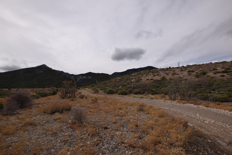
Railroad Frontage Road is the dirt bridge from Moapa Valley to the Logandale Trails network. If you don't want to jump on Moapa Valley Boulevard, this is the trail. This trail is also a neighborhood street passing by houses, so the speed limit is 25. Please be very respectful of the residents in the area, as this trail is often very dusty. 2WD is more than sufficient for this maintained dirt road. No camping is available due to it being within city limits.
Updated: 01/18/2019
Trail 25808/25807
Indian Springs, Nevada
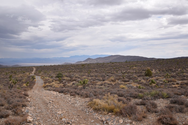
Trail 25808/25807 is a short trail that includes a campsite with great scenic views of the surrounding area, a rock studded hill and an otherwise relaxing ride through the Spring Mountains National Recreation Area.
Updated: 10/15/2024
Mack's Canyon Spur
Lee Canyon Summer Home Area, Nevada
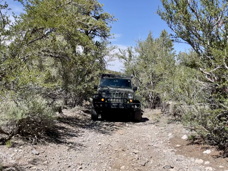
Mack's Canyon Spur is a .42 mile moderate out and back trail at 7,757' elevation with 2 or 3 smaller dispersed campsites. The trail begins with a narrow, rocky tree and brush tunnel that may not be suitable for large vehicles unless you don't mind pinstriping. The trail washes out enough to provide a small off-camber obstacle less than a quarter-mile into the drive before returning into another narrow brush tunnel with low-hanging branches. At the
.4 mile mark lies the most challenging part of this trail. You have to choose between two narrow gaps between trees. The left line is a short, steep hill with loose dirt. The right line is a slightly wider path between the trees but with loose dirt and moguls. There is a small campsite at the top of this hill. It is also a good place to plan to turn around. There are very few places to do so on this trail, especially for large vehicles. Be aware of heavy rains as this is a slot canyon.
Updated: 03/15/2019
BM15 Road to Mud Springs Road Connector
Indian Springs, Nevada
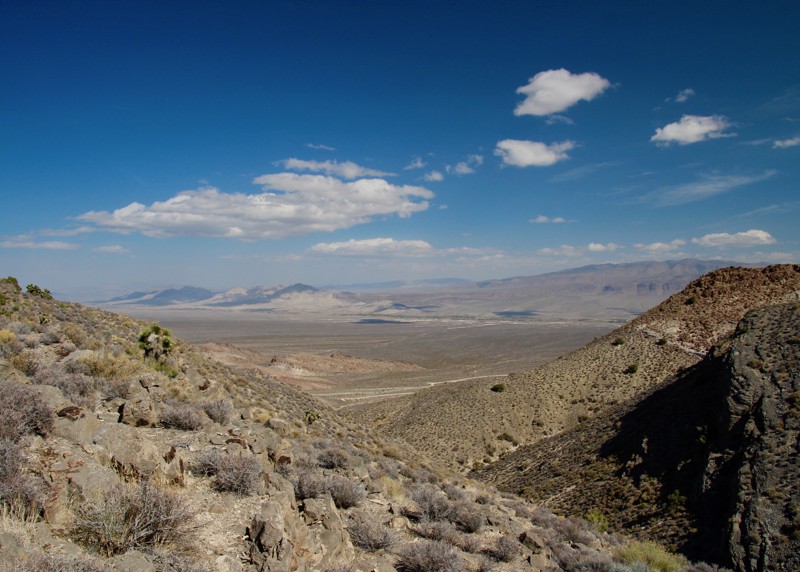
BM15 Road to Mud Springs Road connector, located in the Spring Mountains National Recreation area is a short, fun drive due to the rolling of the trail and the surrounding scenic views. This connector allows you to save some time when exploring the trails in the area. The trail offers fantastic views of the surrounding mountains and the valley floor.
Updated: 10/15/2024
Logandale Loop to Rapotor Eater Hill
Amber, Nevada
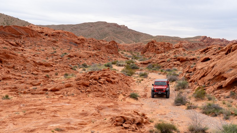
This beginner-friendly trail is a great introduction to the Logandale Area's rocky trails. A few moderate rock obstacles appear as the trail winds through the red rock fins, requiring 4WD and high clearance. The track is an excellent trail to test both vehicles and new drivers before taking on the challenge of the harder trails nearby. Camping is not an option directly on this trail, but the nearby Logandale Main Loop has plenty of options.
Updated: 04/18/2023
Old Radio Site Trail
Alamo, Nevada
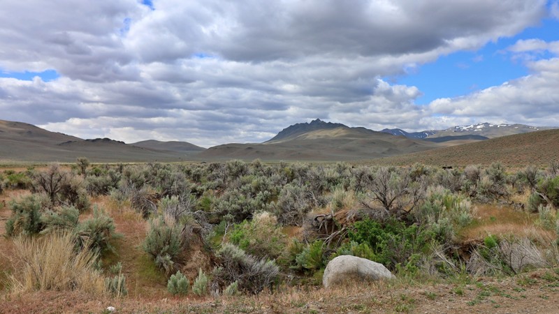
The Old Radio Site Trail is a short 4WD spur off the Badger Valley Loop Trail. It ends at an abandoned RF radio site with some outstanding views of the Pahranagat Valley.
The purpose of the radio site is unknown. Maybe a monitoring station from the 1950's nuclear tests?
Keep an eye out for game as this region is known for its bighorn sheep population!
This short trail is worth a detour just for the amazing views you will be greeted with when you reach the second ridge.
Updated: 10/15/2024
Pearl Camp
Dyke, Nevada
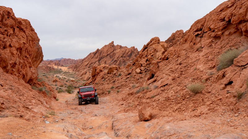
Pearl Camp is a well-maintained road that surrounds the southwest side of the Pine Forest Range Wilderness Area. It begins at Leonard Creek and ends at Summit Lake Road. It is also one of the main accesses to Knott Creek Reservoir and Onion Valley Reservoir. There are no discernable campsites along this trail.
Updated: 10/15/2024
Warm Up Canyon
Amber, Nevada
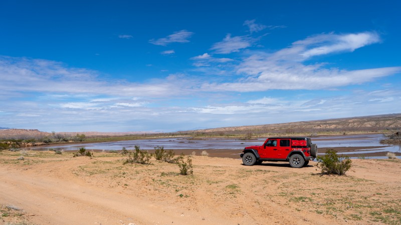
Warm Up Canyon is an alternate way into the rocky portions of the Logandale Trails network. Although short, this rocky and tight canyon has a few different line options to get you through the one long obstacle. Be sure to get out and walk it if you are new to off-roading, as it can get rather tippy if you are not careful. Camping is available on the south end, where it meets up with Logandale Main Loop.
Updated: 10/15/2024
Virgin River Trail
Moapa Valley, Nevada
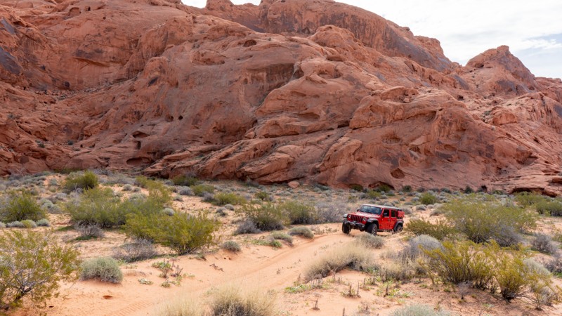
Spanning 8 miles in the Virgin Valley, the Virgin River Trail is an excellent addition to an overland journey across southern Nevada. Crossing through the Moapa Wildlife Management Area offers opportunities to see plenty of birds and animals that call the Virgin Valley home. Roadrunners often scurry across the trail, but good luck keeping up with them! This trail is relatively easy for any high clearance 4WD vehicle, but it is highly prone to flash flood damage and a swelling river, so always check local conditions before attempting. No campsites are along this trail, as much is within the wildlife management area. Camping options lie along Mormon Mesa Rim, Mormon Mesa Road, and Mormon Mesa.
Updated: 10/15/2024
Trail Q
Moapa Valley, Nevada
Trail Q runs parallel to Logandale Main Loop and provides one fun and challenging obstacle at the end. Although most of the trail is sandy, the obstacle is a waterfall over protruding rock. High clearance is mandatory, and a small lift helps protect your underside. Running the trail north to south makes this obstacle uphill and much more challenging due to the light dusting of sand on its surface. Camping is also an option along this spur, although it is right off the trail, so traffic may be a problem on a busy weekend.
Updated: 04/22/2026
Lower Bronco Falls
Amber, Nevada
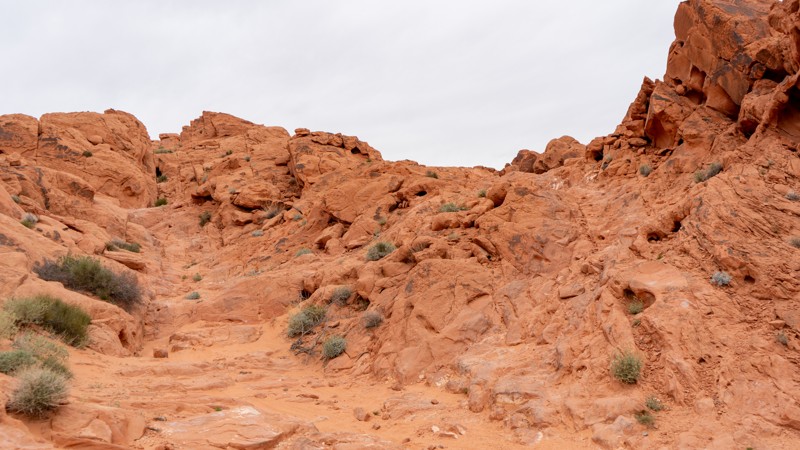
Lower Bronco Falls is the southern and slightly easier trail before conquering Bronco Falls. Although still difficult, this trail offers numerous rock obstacles, including a chunky hill to climb. Lightly modified rigs will have a fun time exploring these obstacles with multiple optional lines to choose from. Camping is not an option directly on this trail, but the nearby Logandale Main Loop has plenty of options.
Updated: 10/15/2024
Logandale Alternate Access
Amber, Nevada
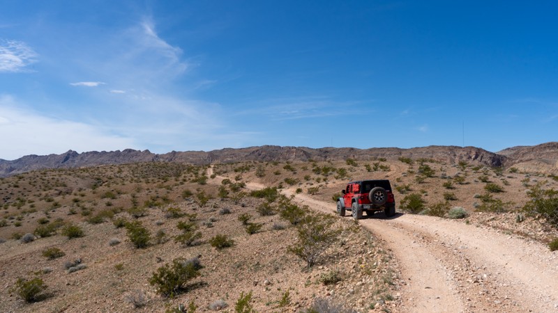
Acting as an alternate entrance, this trail is packed dirt and loose rock with a few inclines and declines. Due to the angle of the hills and the loose rocks, 4WD is advisable. However, there are no obstacles that require any attention. Valley of Fire State Park does not allow camping along this trail.
Updated: 08/11/2025
North Fork
Charleston, Nevada
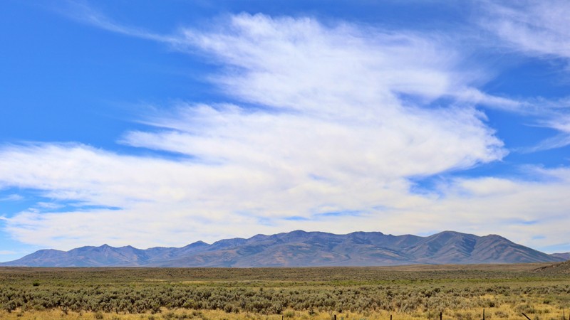
North Fork Road is a scenic connector that weaves its way through the heart of the Great Basin, linking Highway 225 near Wild Horse Reservoir to Charleston-Jarbidge Road. This well-maintained gravel road offers a smooth journey through a landscape dotted with sprawling ranches, where the region's rugged charm is on full display. As you travel, the Bone Mountains rise majestically to the south, their peaks strikingly contrasting the open, rolling terrain.
Though the road is surrounded by private property, limiting camping opportunities, the drive itself is a rewarding experience. North Fork Road provides a peaceful, picturesque route through the basin, where the land's vastness and the countryside's serenity create a memorable journey.
Updated: 01/17/2019
Horsetail Road to Larkspur Road
Indian Springs, Nevada
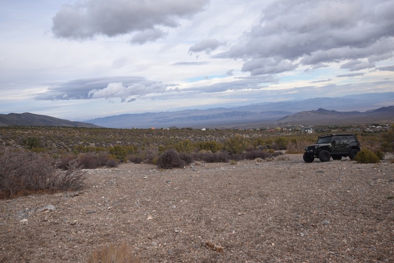
Horsetail Road to Larkspur Road, located in the Spring Mountains National Recreation Area outside of Cold Creek, is a short fun scenic drive with areas for camping. A perfect trail for beginners to offroading or for a 2 WD high clearance vehicle.
Updated: 10/15/2024
Fire Mountain Point Road
Nelson, Nevada
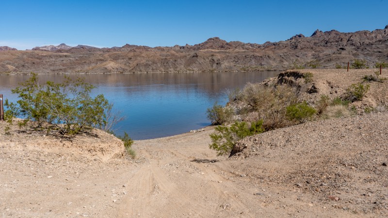
Fire Mountain Point is a short dead-end spur off Fire Mountain Cove that leads to campsites directly on the banks of the Colorado River. Because you drive Fire Mountain Cove to access this spur, the experience and views remain the same, with nonstop scenic views of Fire Mountain. This spur has three campsites: one 200 yards from the river along the road, one riverside just above the banks, and one beachside campsite. The campsites are suitable for vehicle camping, ground tents, and small offroad trailers. There are no amenities for these campsites, and users must pack out everything they pack in, including human waste. The moderate rating comes from a rutty descent that will articulate your suspension as it drops between the first and second campsites. This rutty hill will be extremely problematic in 2WD and 4WD will be necessary to keep from digging the hole deeper. Any 4WD or AWD with good ground clearance will be acceptable on this trail.
Updated: 10/15/2024
Cougar Point
Murphy Hot Springs, Nevada
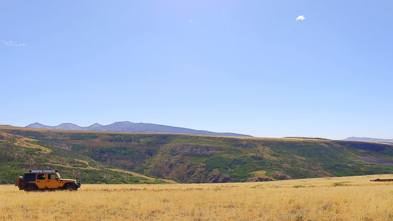
Cougar Point, located within the Humboldt-Toiyabe National Forest, offers a remote and rugged experience. The trail leading to Cougar Point is unmaintained, with sections made challenging by washouts and large rocks scattered across the path. Despite the rough terrain, the trail rewards you with wide-open high desert plateaus, offering expansive views of mountain ranges to the west.
While there are no discernible camping spots along the trail, the landscape's vastness and solitude make it a unique journey. Travelers should be prepared to open and close several gates along the way, a reminder of the trail's remote and untamed nature. Cougar Point is for those seeking the solitude of the high desert and the adventure of navigating one of the forest's more challenging routes.
Updated: 10/15/2024
Boxcar Rock
CALLVILLE BAY, Nevada
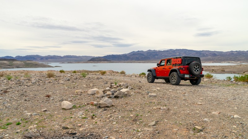
Boxcar Rock is a spur off of Boxcar Cove that climbs to a higher viewpoint versus the cove road that drops directly down to the waterline. Even though this trail puts you high above the shore, shells of small freshwater clams litter the ground as evidence of how Lake Mead has shifted over the decades. Stone fire rings show the area's frequent use by dispersed campers; you'll find these along many of the access roads. The hardest part of Boxcar Rock is a soft sand climb that may require 4WD if ruts form or natural erosion wears at the trail. The view of Lake Mead from the rock cliffs at the end of Boxcar Rock is spectacular, and with a little exploring, there are great swimming spots to be found.
Updated: 10/15/2024
Hen Spring
Bunkerville, Nevada
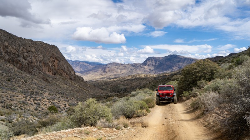
Nestled between the Virgin Peak Ridge and Bunkerville Ridge, Hen Spring is a moderate trail spanning 4.3 miles through Gold Butte National Monument. This trail is mostly packed dirt with a few small rocky sections. Due to the nature of the foothills, there are washouts and off-camber spots. If you are in a full-width truck or SUV, be cautious around these areas, as the dirt is loose on the shoulder. There are no campsites on this trail, but nearby Cabin Canyon has plenty of options.
Updated: 01/18/2019
Trail 25796
Indian Springs, Nevada
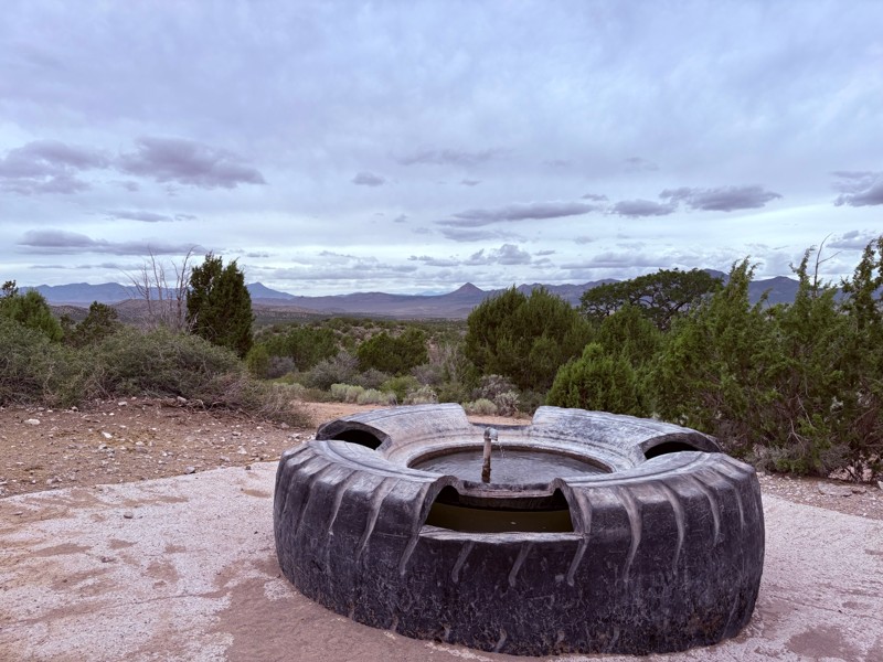
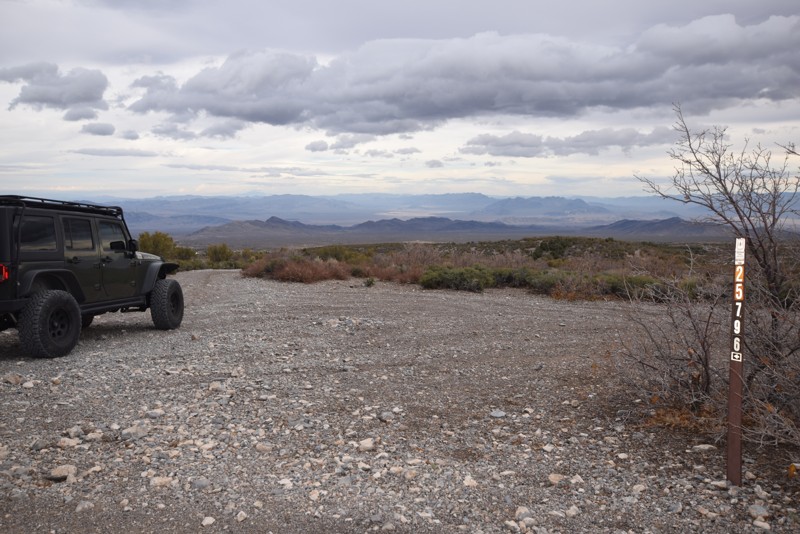
Trail 25796, located just outside of Cold Creek in the Spring Mountains National Recreation Area off of Camp Bonanza Road is a very short and easy trail with a fairly large campsite at the end with a large water collector. This is a great site for a base camp while exploring the surrounding networks of trails.

Upgrade your Membership
Unlock all of the details on every Trail Guide and Scout Route.
Start a 7-day Free TrialBrowse Trails in Nevada by City
Browse every Nevada city with offroad trail guides.
Community
Partners

