



By clicking "ACCEPT", you agree to be the terms and conditions of each policy linked to above. You also agree to the storing of cookies on your device to facilitate the operation and functionality of our site, enhance and customize your user experience, and to analyze how our site is used.
Idaho Off-Road Trails
63
Total Trail Guides 60

644
Detailed Waypoints 302
Try a Free 7-Day Trial and unlock it all
Start a Free Trial Most Recent Trail Reviews
No Rating
Open
Visited: 09/19/2026
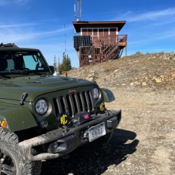
Fun drive, lots of dirt bikes and a few BDR Moto riders. Drove it in reverse direction.

Kim Richards
No Rating
Open
Visited: 09/19/2026
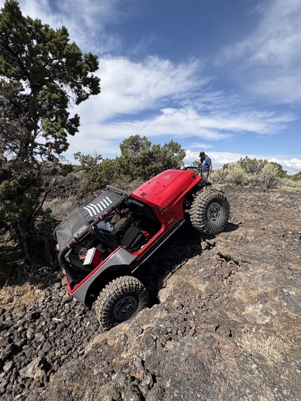
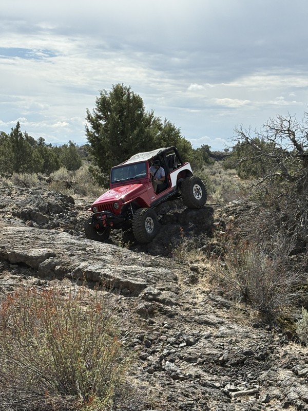
This trail was a great time. It is very unique, ive never been on a trail like it. the lava rock has plenty of traction and is pretty nasty on tires. But all in all I would recommend it to be done at ...
JP
Jared Pyne
Rated 3/5
Open
Visited: 09/15/2026
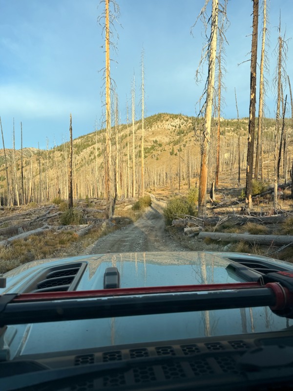
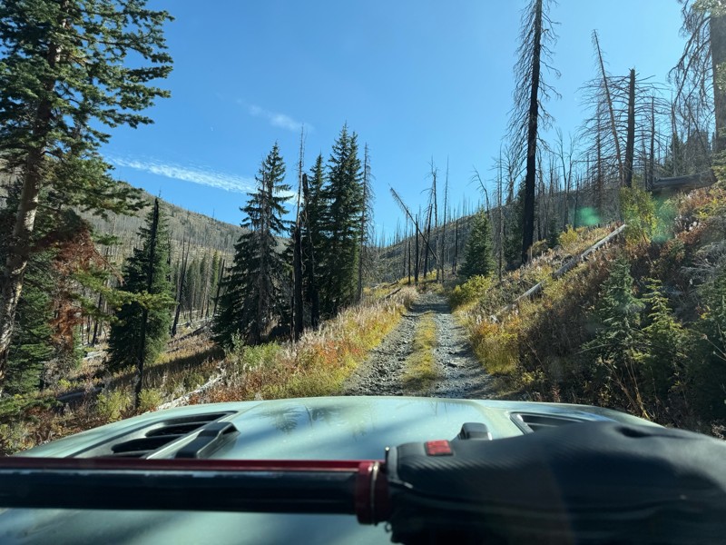
Trail consists of mostly narrow 2-track. Softball to soccer ball sized rocks. Slow going. Most of this forestland experienced fire in the past few years and is still recovering. Pulled a 9’ off-road t...
JH
Jason Holmes
No Rating
Open
Visited: 09/05/2026
Been going here for 57 years and the road keeps getting easier and easier. Sedans can make it.
BC
Bruce Chadwick
Rated 4/5
Open
Visited: 09/01/2026
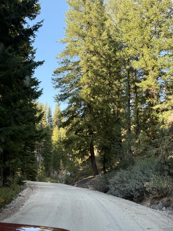
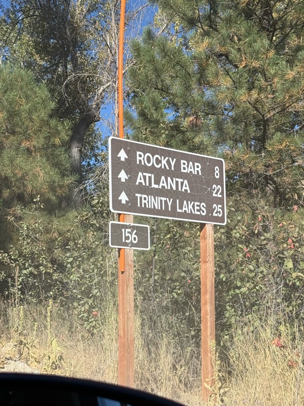
Easy trail that connects you to other great locations. Any vehicle could do this one.
PS
Paul Smith
Rated 4/5
Open
Visited: 09/01/2026
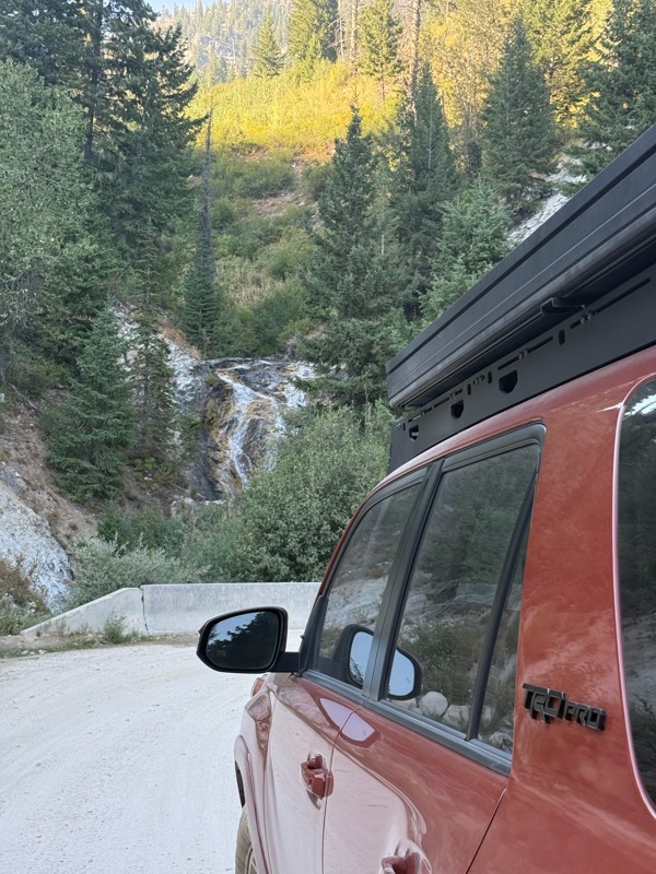
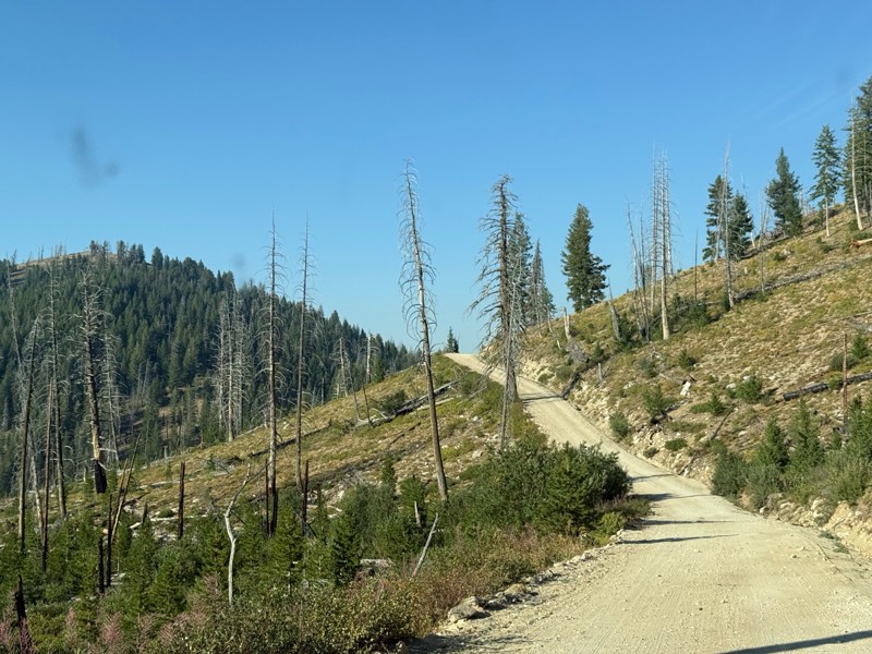
Pretty easy trail although there are some narrow spots along the way. Gets a bit bumpy and rocky as you head toward Atlanta but nothing difficult.
PS
Paul Smith
No Rating
Open
Visited: 09/01/2026
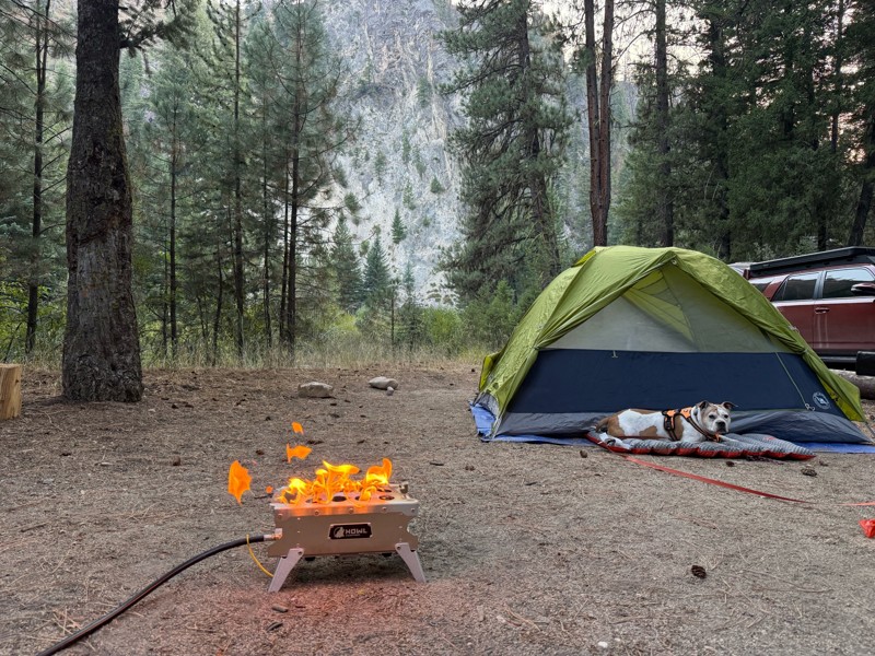
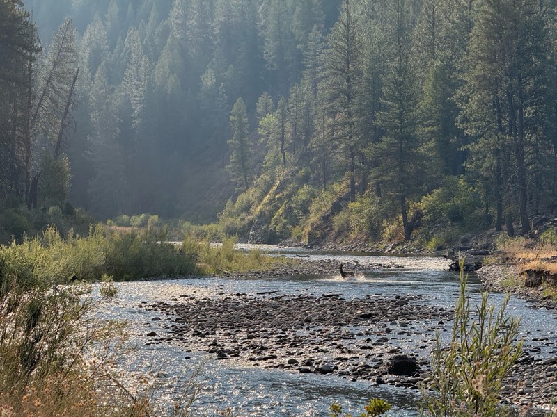
Beautiful and easy road. The smoke was wildfires was pretty bad but that can change. Any stock vehicle could do this at the moment. Campsites were all nearly empty which was a bonus.
PS
Paul Smith
Rated 3/5
Open
Visited: 08/22/2026
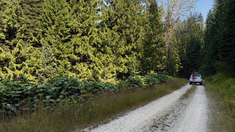
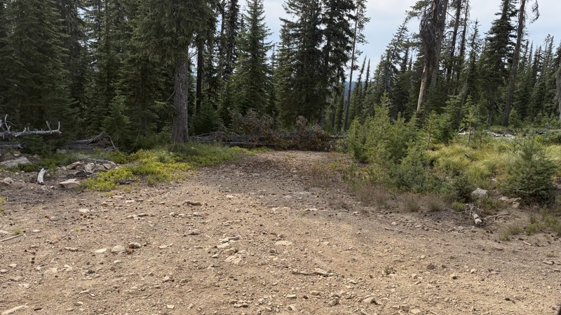
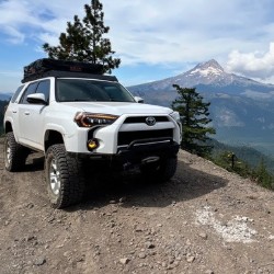
If it wasn't a very exciting trail, it still gets three stars because of how well-maintained it is. I can't even recall one single pothole the whole 4.5 miles. Otherwise, I was just using it as a conn...
Lorraine Bourget
Official Crew
Rated 3/5
Open
Visited: 08/22/2026
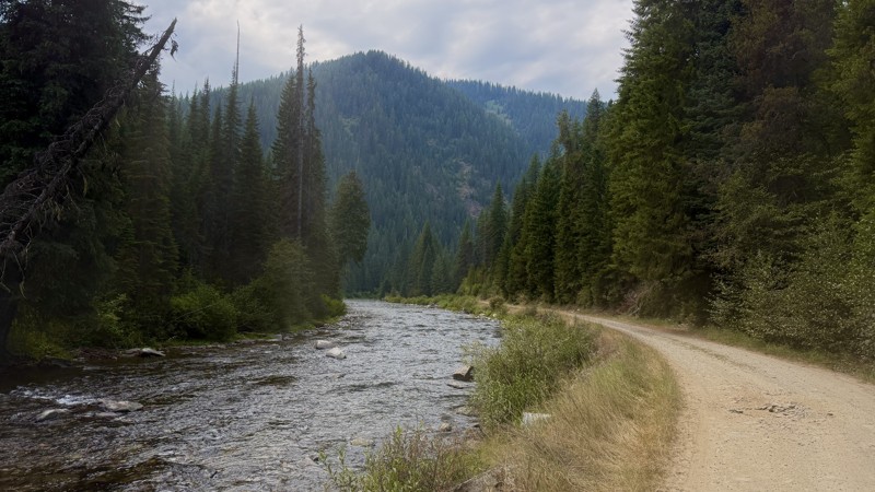
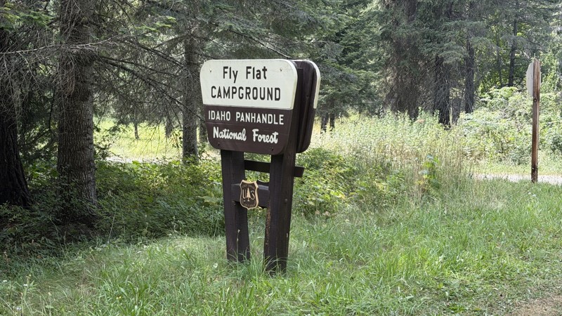
While it was a beautiful drive along the river, I'm rating this road 3 stars. Honestly, I planned my weekend around having the least amount of human contact possible but this section of my loop had ot...
Lorraine Bourget
Official Crew
Rated 5/5
Open
Visited: 08/22/2026
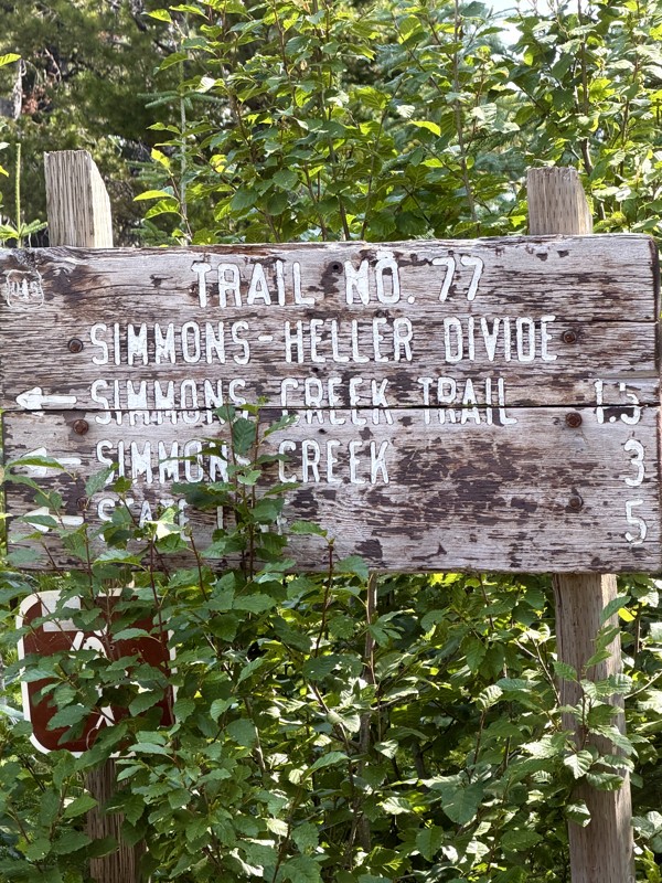
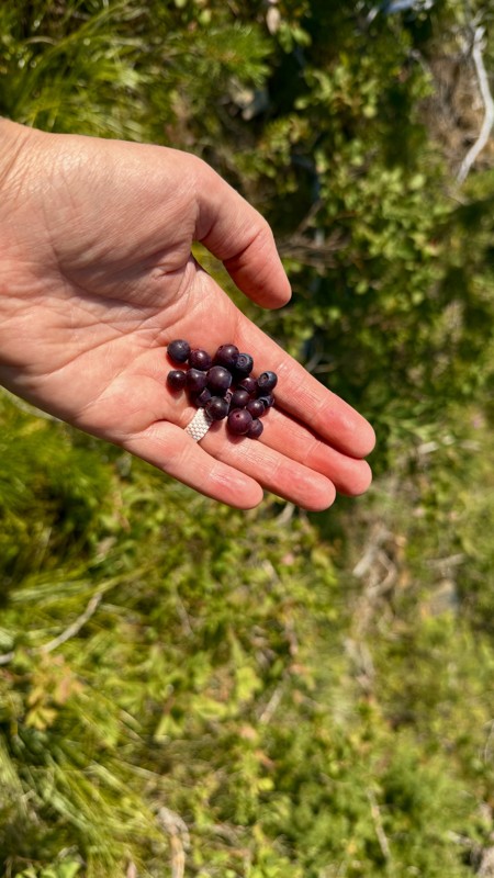
This trail holds a somewhat sentimental value to me. I randomly stumbled across it a couple of years ago when searching for somewhere to use my shower at the top of a mountain. Little did I know I wou...
Lorraine Bourget
Official Crew
Rated 4/5
Open
Visited: 08/21/2026
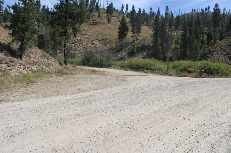
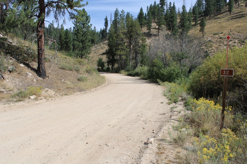
Pike's Fork Road is a spectacular drive into the heart of the Boise National Forest! One of the many dispersed campsites along its length makes an excellent destination for one night on a multi-night...

Bill Ward
Official Crew
Rated 5/5
Open
Visited: 08/16/2026
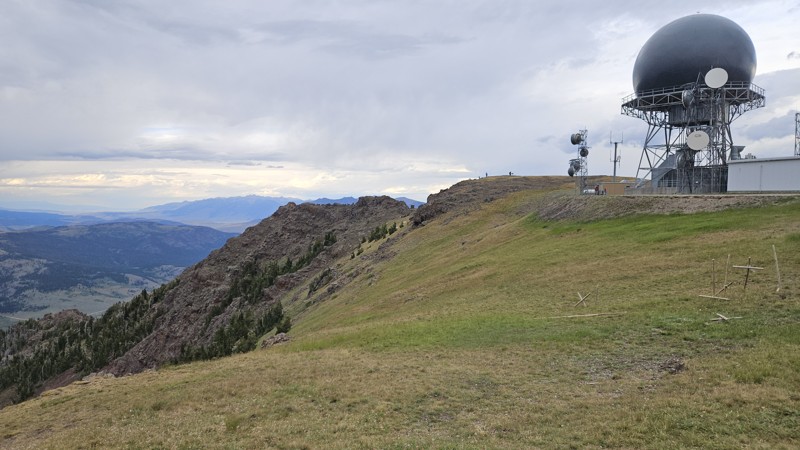
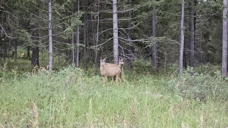
One person can give a group a bad name, especially in the side-by-side world, and that one was on the trail tonight like it was his private racetrack. Otherwise, a very peaceful and enjoyable drive. T...

Cory Wooldridge
Official Crew
Rated 5/5
Open
Visited: 08/11/2026
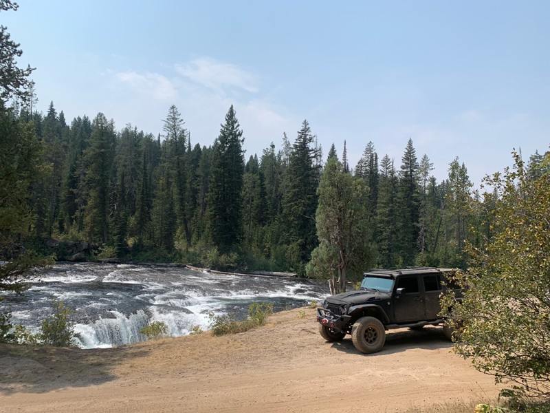
Great Jeep trail! Had fun running it and in pretty good shape. Dry and dusty with a few sections of rocks on decline/incline depending on what direction you’re going. No issues in my lifted Jeep. Not ...
JJ
Jill Jensen
No Rating
Open
Visited: 08/11/2026
Per the MVUM, the trail is seasonally open. As always, check current fire restrictions/closures before venturing out.

Trails Offroad
Official Crew
Open
Visited: 08/11/2026
Per the MVUM, the trail is seasonally open. As always, check current fire restrictions/closures before venturing out.
Trails Offroad
Official Crew
No Rating
Open
Visited: 08/11/2026
Per the MVUM, the trail is seasonally open. As always, check current fire restrictions/closures before venturing out.
Trails Offroad
Official Crew
No Rating
Open
Visited: 08/11/2026
Per the MVUM, the trail is seasonally open. As always, check current fire restrictions/closures before venturing out.
Trails Offroad
Official Crew
No Rating
Open
Visited: 08/11/2026
Per the MVUM, the trail is seasonally open. As always, check current fire restrictions/closures before venturing out.
Trails Offroad
Official Crew
No Rating
Open
Visited: 08/11/2026
Per the MVUM, the trail is seasonally open. As always, check current fire restrictions/closures before venturing out.

Todd
Official Crew
No Rating
Open
Visited: 08/11/2026
Per the MVUM, the trail is seasonally open. As always, check current fire restrictions/closures before venturing out.
Todd
Official Crew
No Rating
Open
Visited: 08/11/2026
Per the MVUM, the trail is seasonally open. As always, check current fire restrictions/closures before venturing out.
Todd
Official Crew
No Rating
Open
Visited: 08/11/2026
Per the MVUM, the trail is seasonally open. As always, check current fire restrictions/closures before venturing out.
Todd
Official Crew
No Rating
Open
Visited: 08/11/2026
Per the MVUM, the trail is seasonally open. As always, check current fire restrictions/closures before venturing out.
Todd
Official Crew
No Rating
Open
Visited: 08/11/2026
Per the MVUM, the trail is seasonally open. As always, check current fire restrictions/closures before venturing out.
Todd
Official Crew
No Rating
Open
Visited: 08/11/2026
Per the MVUM, the trail is seasonally open. As always, check current fire restrictions/closures before venturing out.
Todd
Official Crew
No Rating
Open
Visited: 08/11/2026
Per the MVUM, the trail is seasonally open. As always, check current fire restrictions/closures before venturing out.
Todd
Official Crew
No Rating
Open
Visited: 08/11/2026
Per the MVUM, the trail is seasonally open. As always, check current fire restrictions/closures before venturing out.
Todd
Official Crew
No Rating
Open
Visited: 08/11/2026
Per the MVUM, the trail is seasonally open. As always, check current fire restrictions/closures before venturing out.
Trails Offroad
Official Crew
No Rating
Open
Visited: 08/11/2026
Per the MVUM, the trail is seasonally open. As always, check current fire restrictions/closures before venturing out.
Trails Offroad
Official Crew
No Rating
Open
Visited: 08/11/2026
Per the MVUM, the trail is seasonally open. As always, check current fire restrictions/closures before venturing out.
Trails Offroad
Official Crew
No Rating
Open
Visited: 08/11/2026
Per the MVUM, the trail is seasonally open. As always, check current fire restrictions/closures before venturing out.
Trails Offroad
Official Crew
No Rating
Open
Visited: 08/11/2026
Per the MVUM, the trail is seasonally open. As always, check current fire restrictions/closures before venturing out.
Trails Offroad
Official Crew
No Rating
Open
Visited: 08/11/2026
Per the MVUM, the trail is seasonally open. As always, check current fire restrictions/closures before venturing out.
Trails Offroad
Official Crew
No Rating
Open
Visited: 08/11/2026
Per the MVUM, the trail is seasonally open. As always, check current fire restrictions/closures before venturing out.
Trails Offroad
Official Crew
No Rating
Open
Visited: 08/11/2026
Per the MVUM, the trail is seasonally open. As always, check current fire restrictions/closures before venturing out.
Trails Offroad
Official Crew
No Rating
Open
Visited: 08/11/2026
Per the MVUM, the trail is seasonally open. As always, check current fire restrictions/closures before venturing out.
Trails Offroad
Official Crew
No Rating
Open
Visited: 08/11/2026
Per the MVUM, the trail is seasonally open. As always, check current fire restrictions/closures before venturing out.
Trails Offroad
Official Crew
No Rating
Open
Visited: 08/11/2026
Per the MVUM, the trail is seasonally open. As always, check current fire restrictions/closures before venturing out.
Trails Offroad
Official Crew
No Rating
Open
Visited: 08/11/2026
Per the MVUM, the trail is seasonally open. As always, check current fire restrictions/closures before venturing out.
Trails Offroad
Official Crew
No Rating
Open
Visited: 08/11/2026
Per the MVUM, the trail is seasonally open. As always, check current fire restrictions/closures before venturing out.
Trails Offroad
Official Crew
No Rating
Open
Visited: 08/11/2026
Per the MVUM, the trail is seasonally open. As always, check current fire restrictions/closures before venturing out.
Trails Offroad
Official Crew
No Rating
Open
Visited: 08/11/2026
Per the MVUM, the trail is seasonally open. As always, check current fire restrictions/closures before venturing out.
Trails Offroad
Official Crew
No Rating
Open
Visited: 08/11/2026
Per the MVUM, the trail is seasonally open. As always, check current fire restrictions/closures before venturing out.
Trails Offroad
Official Crew
No Rating
Open
Visited: 08/11/2026
Per the MVUM, the trail is seasonally open. As always, check current fire restrictions/closures before venturing out.
Trails Offroad
Official Crew
No Rating
Open
Visited: 08/11/2026
Per the MVUM, the trail is seasonally open. As always, check current fire restrictions/closures before venturing out.
Trails Offroad
Official Crew
No Rating
Open
Visited: 08/11/2026
Per the MVUM, the trail is seasonally open. As always, check current fire restrictions/closures before venturing out.
Trails Offroad
Official Crew
No Rating
Open
Visited: 08/11/2026
Per the MVUM, the trail is seasonally open. As always, check current fire restrictions/closures before venturing out.
Trails Offroad
Official Crew
No Rating
Open
Visited: 08/11/2026
Per the MVUM, the trail is seasonally open. As always, check current fire restrictions/closures before venturing out.
Trails Offroad
Official Crew
No Rating
Open
Visited: 08/11/2026
Per the MVUM, the trail is seasonally open. As always, check current fire restrictions/closures before venturing out.
Trails Offroad
Official Crew
No Rating
Open
Visited: 08/11/2026
Per the MVUM, the trail is seasonally open. As always, check current fire restrictions/closures before venturing out.
Trails Offroad
Official Crew
Most Popular

Updated: 08/11/2026
Redwood to 3100 E
Hamer, Idaho
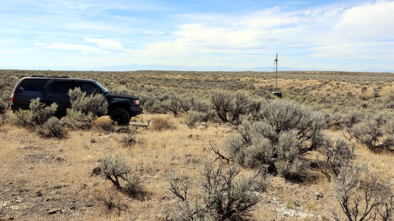
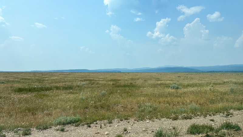
If you love a good desert landscape you may like this area. It's a nice easy drive through the desert with some mild challenges along the way. Being mostly on Bureau of Land Management land, you can camp along this trail; except in the northern area that transitions into farmland and county roads. There are a couple of clearings, that you could use as a camping sight, but don't expect to find any well-established spots. It's also not unusual to see fire restrictions in this area due to how dry it gets. For more details on camping on BLM land see their website.
Updated: 10/15/2024
Willow Creek Cutoff Road
Rea, Idaho
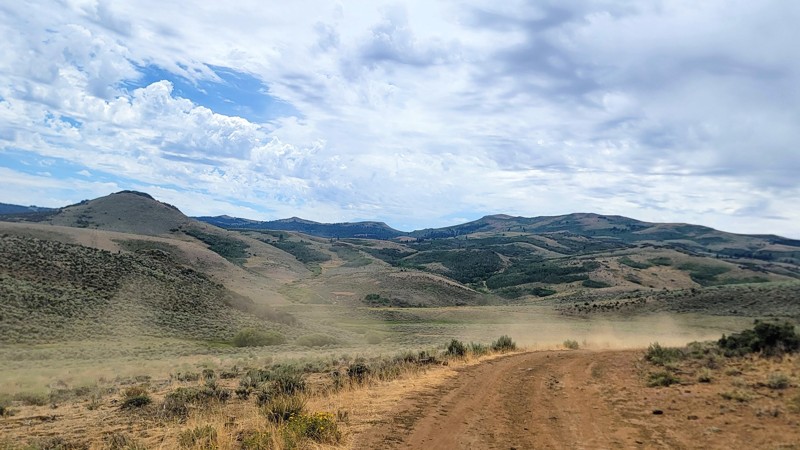
Willow Creek Cutoff Road is a dirt road connecting Old Shotgun Road with Yale Kilgore Road. This route is significant to the area because it provides a route along the west side of the Island Park area to the towering Centennial Mountains. Along this road are open fields of livestock and Icehouse Creek Reservoir. Since the majority of the trail cuts across private land, no camping was observed.
Updated: 11/07/2025
Whiskey Mountain Road
Reynolds, Idaho
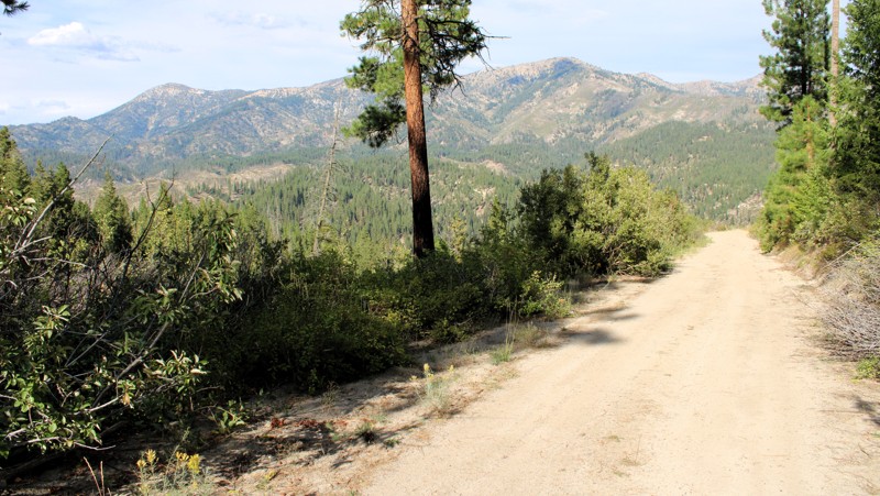
Located under an hour southwest of Boise, Whiskey Hill Road is a short but scenic drive that offers some fantastic views of the surrounding rolling hills, which transition into the rugged Owyhee Mountains.
This dirt road has potholes and some rough patches, but overall, it’s an easy route, and any high-clearance vehicle can navigate it. There aren’t any campsites along the trail, but dispersed camping is available if you can find an offshoot, of which there are many, as this trail is part of an extensive trail network that leads to the historic mining town of Silver City.
The trail ends at a locked gate on private property at the southern end.
Updated: 09/24/2025
North Fork Lincoln Creek
Featherville, Idaho
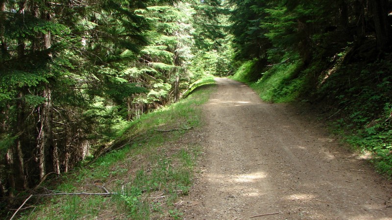
North Fork Lincoln Creek Road is a delightful journey, offering a side loop off Rocky Bar Road. The scenery ranges from a wooded lane to vast, open views of the area's steep canyons and high ridges. The road is well-maintained and can be driven by any vehicle with reasonable ground clearance. There are a few patches of washboards and some relatively minor washouts.
Dispersed camping is permitted, and several nice, established sites with existing fire rings are available.
Updated: 08/11/2025
Cascade Picnic/Gurley Saddle
Rockaway Beach, Idaho
The Cascade Picnic/Gurley Saddle Road goes from FS 209 to FS 534. Starting on FS 209, the road is FS 610; at the FS 534 end, it is FS 379. The number changes at some point. It is a narrow, often-shelf, gravel-to-dirt road with numerous switchbacks as it climbs up and over the pass. There are at least two places on the side of the road where it has collapsed and been partially repaired; at this time, they are well-marked. Former users have mostly cleared many downed trees. Unfortunately, the people cutting the trees back provided barely enough room for a full-size rig to navigate the gaps. It can be done, but it's pretty tight in some places. Even so, it is not a difficult road to drive if proper care is taken.
Dispersed camping is allowed, and there are a few established sites, both up on the top ridge and on the more level areas at the beginning and end of the road. Going up and down from the ridge, the road is relatively narrow, and there isn't much room for a dispersed camp.
Updated: 09/22/2025
Sloans Gulch
Pine, Idaho
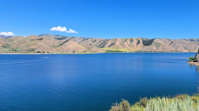
Sloans Gulch, also known as Lester Creek, is a short but remarkable drive through the Boise National Forest. It offers epic views of Anderson Ranch Reservoir and the nearby Trinity Mountains to the north.
On the west end of the trail is Ice Springs Campground, a developed campground with vaulted toilets, with each campsite equipped with its own picnic table and fire ring. The east end of the trail ends in the quaint town of Pine. There is also a campground located just south of Pine, near the lake, called Pine Campground, which has a boat ramp.
This is a well-maintained, wide two-lane dirt road open year-round and suitable for any vehicle.
Updated: 11/20/2025
Elk Meadows Road
Pinehurst, Idaho
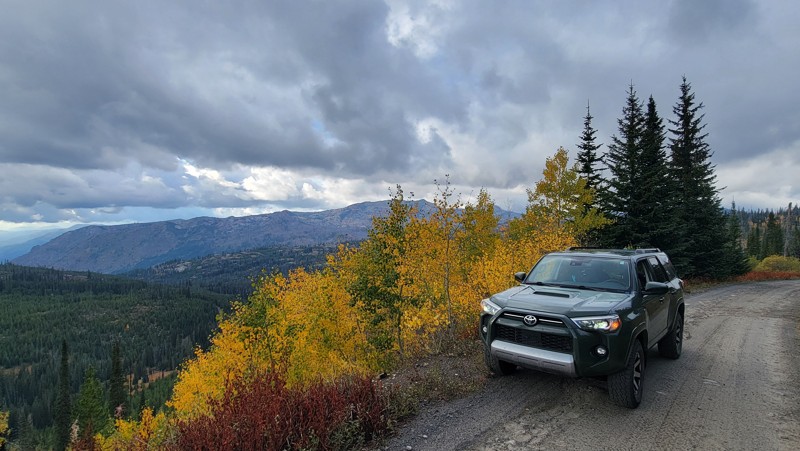
Elk Meadows Road (Forest Service Road 308) is a breathtaking drive through the Payette National Forest and the Grass Mountains, and around Lava Butte. There are some spectacular elevated views of the Hazard Lakes Basin. Please note, that maps will depict the roads going further than listed here, but they do not.
There are no developed campgrounds along this trail; however, there are suitable places for dispersed camping. This trail intersects with Goose Lake Road, which has a few developed campgrounds.
The road itself is rocky in parts, with numerous potholes, but any high-clearance vehicle can handle it. The spur on the north end is worth the trek and offers some great views. The trail ends in the north at a locked gate, but this trail is not to be missed!
Updated: 01/05/2026
House Creek Road
Roseworth, Idaho
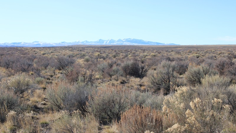
House Creek Road, also known as 17 Mile Road, is a major gravel road running from Three Creek Road in the south towards Roseworth in the north. Shortly before Roseworth, the road becomes paved and is not part of the Route. The road is very well maintained, with the primary hazard being driving imprudently fast for a gravel road. Although dispersed camping is allowed along the public sections of House Creek Road, there are no established dispersed sites. The nearest campgrounds are at Balanced Rock Park and Salmon Falls Dam.
This road travels through high-quality sagebrush steppe and offers nice views of distant mountains.
Updated: 10/15/2024
Lyle Springs Stock Driveway
Island Park, Idaho
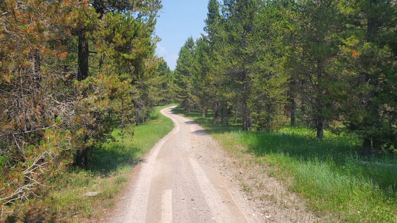
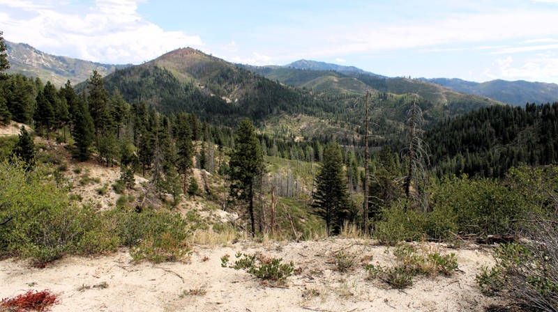
FR170, Lyle Springs Stock Driveway, is a packed dirt road that connects Lyle Springs Road with Green Canyon Road. There are no obstacles along this trail, making it accessible by any high clearance vehicle. Several established dispersed campsites are along this route, with some large enough for trailers or multiple vehicles.
Updated: 09/24/2025
North Meadow Creek
Prairie, Idaho
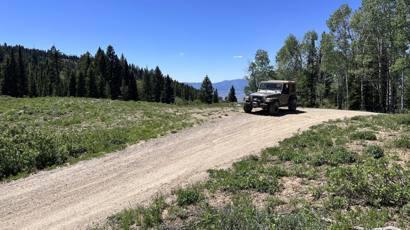
North Meadow Creek Road goes from Burnt Creek Road to Meadow Creek Road, which can be taken into Prairie, where a restaurant with limited supplies is located. The road is generally one lane, with a mixture of gravel, native decayed granite, and dirt. Due to some steep climbs, loose surface, and moderate washouts, a Four Wheel Drive vehicle with reasonable ground clearance is recommended. Care must be taken when threading between the ends of downed trees that have been cut a bit too narrowly for comfort.
The panoramic views from North Meadow Creek Road are delightful! The terrain is steep with plenty of rocky outcrops, peaks, and deep valleys and draws. Some areas have been burned recently, which opens up the views into the distance. Dispersed camping is allowed, but there are only a few established sites with existing fire rings.
Updated: 06/18/2026
Eight Mile Road
Soda Springs, Idaho
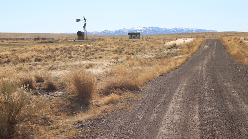
Eight Mile Road is an easy, scenic route near Soda Springs, Idaho, offering excellent access to the Caribou National Forest. Stretching just over 15 miles, the trail travels through a mix of open valleys, forested hillsides, and mountain terrain, with Eight Mile Creek paralleling portions of the route. As the road climbs in elevation, visitors are treated to expansive mountain views and access to beautiful mountain meadows.
Suitable for nearly any vehicle in favorable conditions, Eight Mile Road is primarily a graded forest road with occasional embedded rocks and rough sections that can make for a bumpy ride. Dispersed camping opportunities can be found along the lower portions of the route, making it a convenient basecamp for exploring the surrounding area. The historic Eight Mile Guard Station, located near the boundary of the National Forest, can also be rented for those seeking a unique overnight experience. While the trail itself is relatively easy, its true value lies in the scenery, camping opportunities, and connections to numerous other roads and trails that provide access to a much larger portion of the Caribou National Forest.
Updated: 01/05/2026
Grassy Hills Road
Roseworth, Idaho
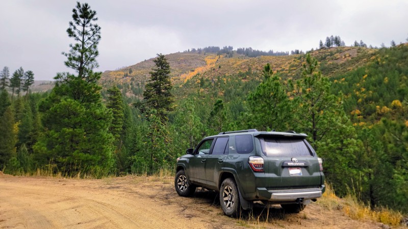
Grassy Hills Road is an extension of Kinyon Road in the north and runs down to House Creek Road in the south. It is an easy drive on a one to two-lane gravel road suitable for any vehicle. There are a few sections of moderate washboards. Several side trails lead into the desert, ripe for further exploration in an appropriate vehicle. Although dispersed camping is allowed along the public sections of Grassy Hills Road, there are no established dispersed sites. The nearest campground is at Salmon Falls Dam.
As one travels south toward the mountains, the views become more scenic, especially when the sun glints off the snow. The road traverses a combination of sagebrush steppe and grasslands, each with its own unique scenic beauty.
Updated: 11/07/2025
Elk Creek Road
Idaho City, Idaho
Just north of the historic mining town of Idaho City, Elk Creek Road offers one of the most scenic drives in the Boise National Forest. Winding through Forest King Gulch, pine forests, open ridgelines, and colorful creek valleys, the trail has a great blend of what Southwestern Idaho has to offer!
This single-lane dirt road has some extraordinary views of the surrounding Boise Mountain Range. It’s an easy trail; any high clearance vehicle can traverse it, with only a few rocky patches. And it makes a great loop with Elk Ridge Road coming back down south. There are no developed campgrounds along this route, but there are a few places for dispersed camping.
Updated: 01/05/2026
Kinyon Road
Castleford, Idaho
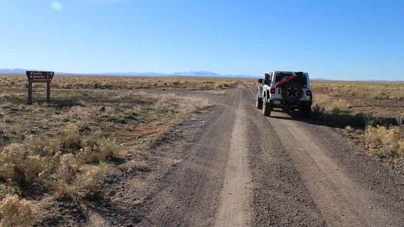
Kinyon Road is an easy one to two-lane gravel road through the desert of Southern Idaho and is suitable for any vehicle. It runs from Crows Nest Road near Balanced Rock Park in the north to Grassy Hills Road in the south. Continuing on Grassy Hills Road leads to Three Creek Highway with access to Salmon Falls Dam in the east and the Jarbidge, Nevada, area in the west. Numerous side trails lead into the desert, which are ripe for exploration in a more capable vehicle.
As one drives south on Kinyon Road, the distant mountains come into view and make for a scenic sight. Dispersed camping is allowed along the public sections of the road, but there are no established dispersed sites. The nearest campgrounds are at Balanced Rock Park and Salmon Falls Dam. The entire area is open range, and there may be cattle along the road.
Updated: 05/20/2026
Big Bear Bar Road
Grand View, Idaho
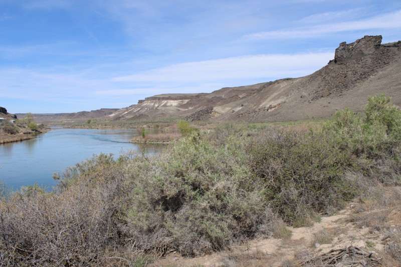
Big Bear Bar Road is a delightfully scenic out-and-back drive along the Snake River near Grand View, Idaho. It is an easy drive suitable for any vehicle. The main hazard is dust, which can be blinding if following too closely or encountering oncoming traffic. About 3 miles from the eastern end of Big Bear Bar Road, you enter the Morley Nelson Birds of Prey National Conservation Area, where up to 800 nesting pairs of various raptors can be found. Look sharp, and you may see eagles, hawks, falcons, etc! At the west end of the designated route, the road is posted as private with no trespassing signs.
Dispersed camping is allowed, although there are no established sites right along the road. There are, however, multiple small side roads and trails where one could choose a place to camp. Parts of the road go through private property, which must be respected.
Updated: 07/06/2026
Sagehen Spur 626W
Gross, Idaho
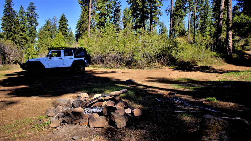
Sagehen Spur 626W is a short out-and-back spur off of 626 that ends at a dispersed campsite. This trail is within Idaho's hunting unit 32A, where you will be sharing your space with deer, elk, black bears, mountain lions, and wolves, to name a few. This trail is one of many spurs along the main Sagehen Road and is best described as a dispersed camping paradise nestled among the pines, fir, and spruce. Shrubs and grasses dotted with wildflowers fill in the non-forested areas. It is a typical pine forest dirt trail that can get a bit muddy and slippery during rain or snowy weather, but the trail is relatively flat and should be manageable by most high clearance vehicles.
Sagehen Dam and Reservoir is just 2.7 miles to the east. The reservoir has four improved campgrounds; some are first come, first served, and others require a reservation. The lake is well known for its rainbow trout, so bring your fishing pole.
Updated: 09/29/2025
Sagehen Spur 626V
Gross, Idaho
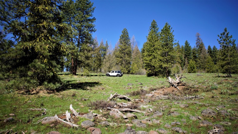
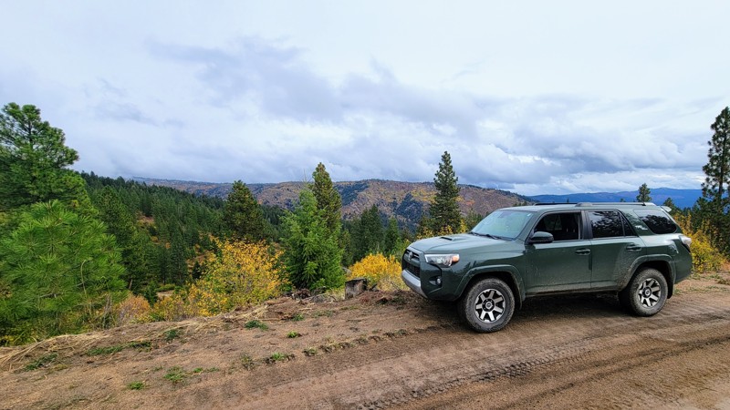
This trail is in the Boise National Forest, two hours north of Boise, Idaho. Sagehen Dam and Reservoir is just 2.3 miles to the east. The reservoir has four improved campgrounds; some are first come, first served, and others require a reservation. The lake is well known for its rainbow trout, so bring a fishing pole! The trail and entire area are in Idaho's hunting unit 32A, where you will be sharing your space with deer, elk, black bear, mountain lions, and wolves, to name a few. This trail is one of many spurs along the main Sagehen Road and is best described as a dispersed camping paradise nestled among the pines, fir, and spruce. Shrubs and grasses dotted with wildflowers fill in the non-forested areas.
Updated: 11/07/2025
Elk Ridge
Star Ranch, Idaho
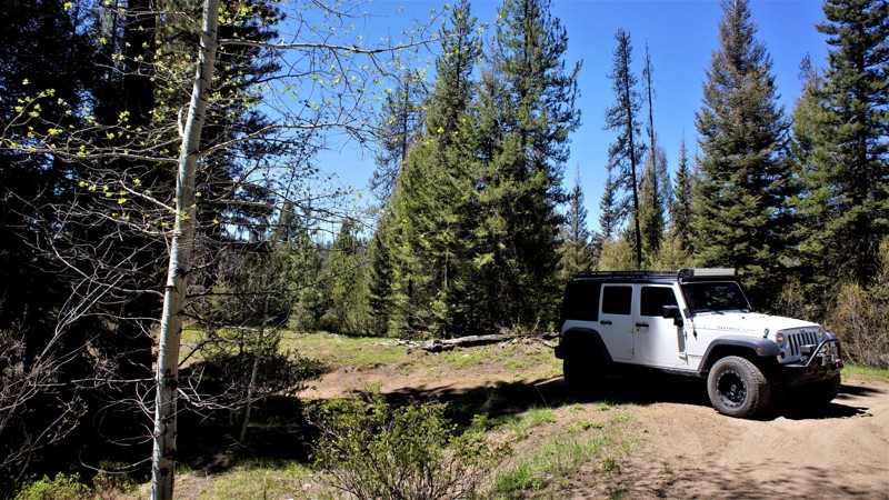
Nestled in the hills north of the old historic mining town of Idaho City, Elk Ridge Road is an awe-inspiring drive through the Boise National Forest. The trees give way to open ridgelines offering stunning panoramic views of the Boise Mountains.
This windy single-lane road with an exposed cliffside is rated as easy; there are a few rocky areas, but any high-clearance vehicle can handle this drive with ease. There are no developed campgrounds along the trail, but there are a few opportunities for dispersed camping on one of the many spurs. As this trail is part of an extensive trail system, it makes a great loop with Elk Creek.
Updated: 09/29/2025
Sagehen Spur 626CA
Smiths Ferry, Idaho
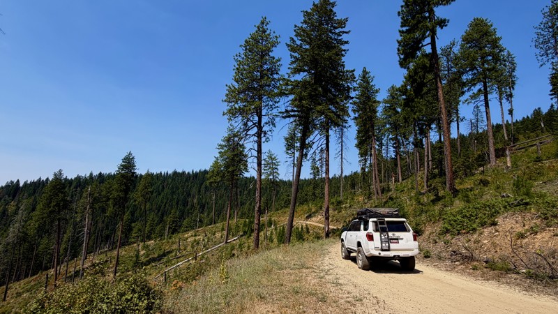
Sagehen Spur 626Ca is in the beautiful and diverse Boise National Forest. It is less than 2 hours north of Boise, where you can find hundreds of miles of offroad trails to explore while taking your pick of dispersed and improved camping sites throughout the area. You will find beautiful meadows and creeks among the cedar, pine, fir, and other indigenous growth common to the area. Always be watchful of the animals that call this area home, including mule deer, elk, black bear, and wolf. Also, be aware that this is a popular hunting area where you will share the trails and campsites with those individuals who enjoy hunting.
Camping is allowed throughout the Boise National Forest unless otherwise posted, where you can stay up to 14 days without a fee. Be sure to have any required fire permits. After 14 days you must relocate to a different site at least 5 miles away. There are 4 beautiful improved sites, 8 miles to the west, at Sagehen Reservoir. No predisturbed campsites are found directly along this trail.
Updated: 08/13/2026
Divide
Wolf Lodge, Idaho
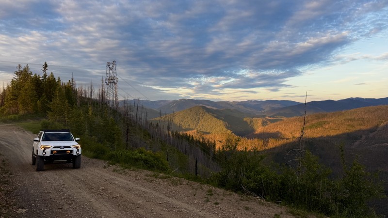
Divide Road 614 is an easily accessible dirt road that runs between I-90 (via the 4th of July Pass Exit 28) and Thompson Lake near Harrison, ID. This road is passable in a 2wd vehicle and can be managed by those towing small to medium-sized camp trailers.
The road twists through canopies of dense cedars and firs while also occasionally opening up into more exposed sections of forest that are recovering from fires of the not-too-distant past. To the east, you're frequently treated to views of the Idaho Panhandle Chain Lakes as you meander along the lush mountainsides of the Idaho Panhandle National Forest.
Dispersed camping is available at many spots along the road - from wide open flat turnouts at most saddles and intersections to several short spurs that take you to more private wooded sites along the way.
Updated: 08/11/2026
Character Ridge
Prichard, Idaho
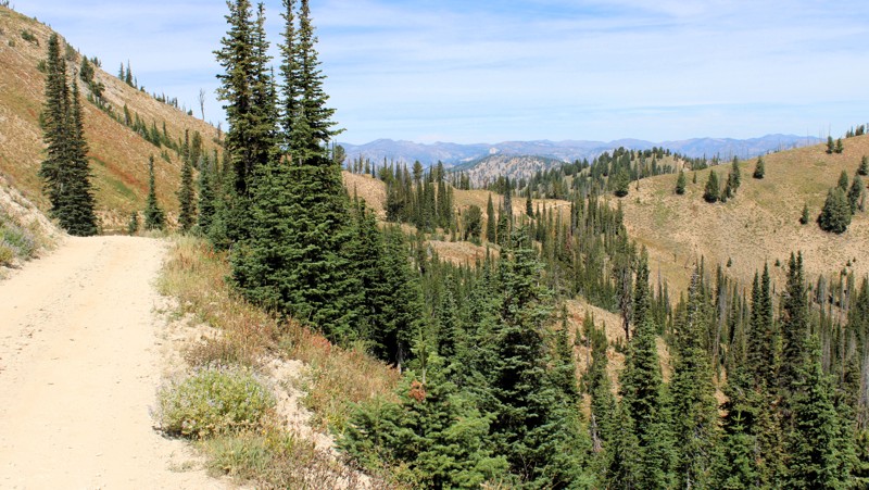
FS 620 begins near the shores of the North Fork Coeur d'Alene River and quickly ascends through lush forest before opening into a fire-ravaged landscape of regenerating forest and open slopes that offer expansive views of the Coeur d'Alene Mountains.
This is a fairly well-maintained road and can be driven in a 2WD vehicle. The difficulty lies solely in 620 being a shelf road that is one-vehicle-width narrow in several spots, made even more intimidating by downed trees and large fallen rocks that force the driver closer to the edge.
Camp spots can be found down near the CDA river, but as is the case with shelf roads, they are virtually non-existent until you reach Moon Saddle. Here, you will find a large, flat turnout complete with a fire ring. From the saddle, you may choose to continue on to the Idaho towns of Pinehurst or Wallace, or stay for the day and explore Graham Ridge Trail #17 to White Peak.
Updated: 08/27/2026
Pike's Fork Road
Lowman, Idaho
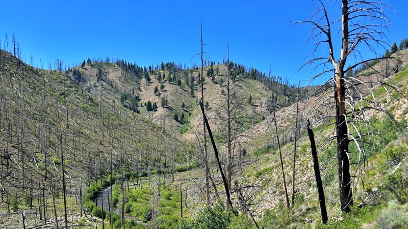
Pike's Fork Road is an out-and-back route running from the Crooked River Road, FS 384, out to the Graham Guard Station rental cabin and a bit further to the Johnson Creek Campground. At the end of the road, travel can continue on the non-motorized Horse Heaven Trail. When it leaves FS 384, Pike's Fork Road is a well-maintained, mostly two-lane gravel road along the bottom of a valley. Once it starts climbing, the road becomes one-lane with pullouts, and most of the steeper inclines (up and down) are fairly heavily eroded, exposing softball- to basketball-sized rocks with sharp edges and points. Four-wheel drive, high clearance, and good tires are a must in these sections! Between the eroded and rocky inclines are sections of fairly smooth natural surface road with numerous potholes, which tend to be small but deep.
The scenery is outstanding with spectacular views from the high ridges and passes. Particularly in the first seven or eight miles, there are quite a few dispersed campsites with established fire rings; a few of them have enough parking for multiple large rigs and trailers. Additional dispersed sites are scattered along the rest of the road, but would be difficult to access with most trailers because of the road surface and a few tight switchbacks.
Updated: 07/16/2026
Basin Creek
Sunbeam, Idaho
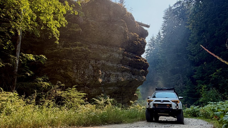
Basin Creek offers a peaceful escape into the quieter side of Idaho's Sawtooth region. Easily reached from Highway 75, this scenic mountain valley follows the crystal-clear waters of Basin Creek through a landscape shaped by both wildfire and renewal. Fire-scarred hillsides are gradually giving way to young pines, aspens, and vibrant wildflowers, creating a beautiful contrast of resilience and recovery. The route begins as an unmaintained dirt road and gradually climbs through the valley, featuring a few narrow shelf road sections and occasional rocky stretches beyond the main campground. Along the way, you'll find peaceful creekside campsites, picnic areas, and access to Basin Creek Hot Springs, making it an ideal destination for camping, fishing, hiking, or simply enjoying the solitude of Idaho's rugged backcountry.
Updated: 08/13/2026
Yellow Dog
Steamboat Rocks, Idaho
Yellow Dog #513 can be accessed by either Steamboat Flat Creek #400 or via Coeur d Alene River Rd #208 and a short section of Beetle Creek #2367.
In the higher altitudes, you will traverse brushy slopes of bear grass, huckleberries and wind-worn and winter-hardened timber. In the lower elevations along Yellow Dog Creek, you will wind through cedars along the creek on a road lined with common tansy and yarrow while occasionally crossing sections of concrete ramp planks placed to help prevent erosion during the spring runoff.
There are a couple of fairly-large camp sites off the main road once you get into the higher elevations. These do tend to be popular spots, however. If you do find that those are occupied, there are numerous large, flat turnouts along the road that can be utilized as well.

Upgrade your Membership
Unlock all of the details on every Trail Guide and Scout Route.
Start a 7-day Free TrialBrowse Trails in Idaho by City
Browse every Idaho city with offroad trail guides.
Community
Partners

